 Block
From the record
13 National Register listings published here.
Sources: the National Register database, National Park Service
26 topographic sheets and 21 fire insurance atlases across 5 places.
13 National Register listings published here.
Sources: the National Register database, National Park Service
Taken for the Office of War Information and the Farm Security Administration, who photographed the country between 1935 and 1944. Works of United States government photographers, with no known restriction on use. Each opens its catalogue record.
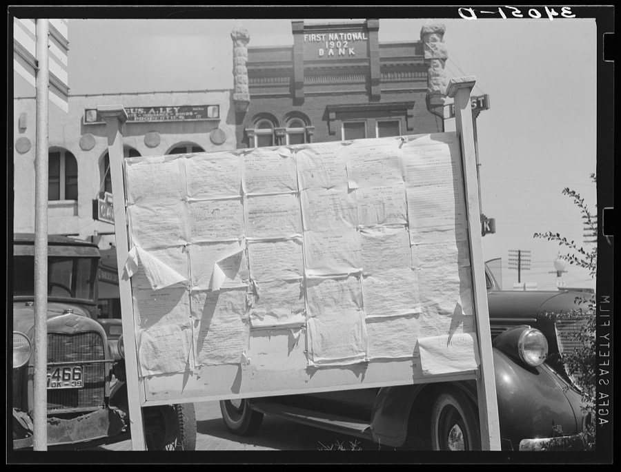
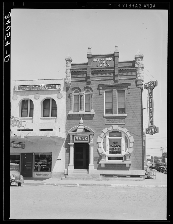
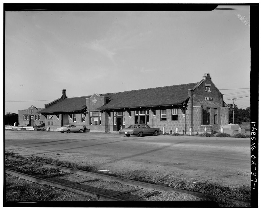
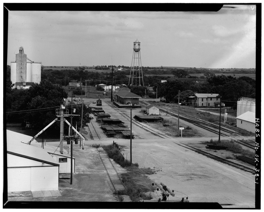
Every property in this county listed on the National Register of Historic Places, with the year it was listed and the federal nomination document.
| Photograph | Property | Type | Listed | Reference |
|---|---|---|---|---|
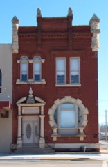 | First National Bank and Trust Company Building | building | 1979 | 79002003 |
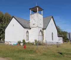 | Morrison Baptist Church | building | 1984 | 84003357 |
| Morrison Suspension Bridge | structure | 1980 | 80003277 | |
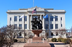 | Noble County Courthouse | building | 1984 | 84003361 |
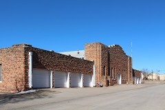 | Perry Armory | building | 1988 | 88001362 |
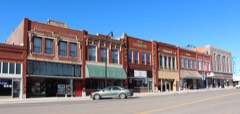 | Perry Courthouse Square Historic District | district | 2003 | 03000881 |
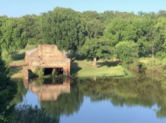 | Perry Lake Park | district | 2007 | 07000523 |
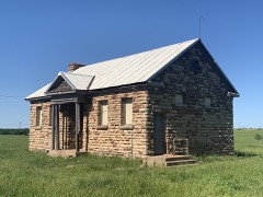 | Rein School | building | 1988 | 88001361 |
| Renfrow Building | building | 1984 | 84003365 | |
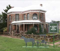 | Renfrow House | building | 1984 | 84003373 |
| Schultz-Neal Stone Barn | building | 2020 | 100005861 | |
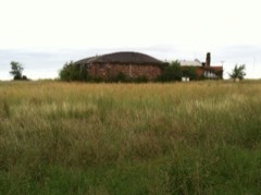 | Sumner School | building | 1996 | 96000492 |
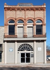 | Wolleson-Nicewander Building | building | 1979 | 79002004 |
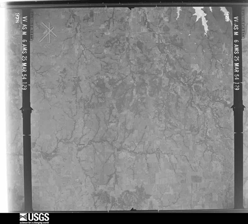
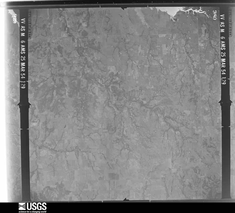
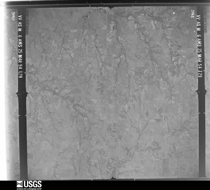
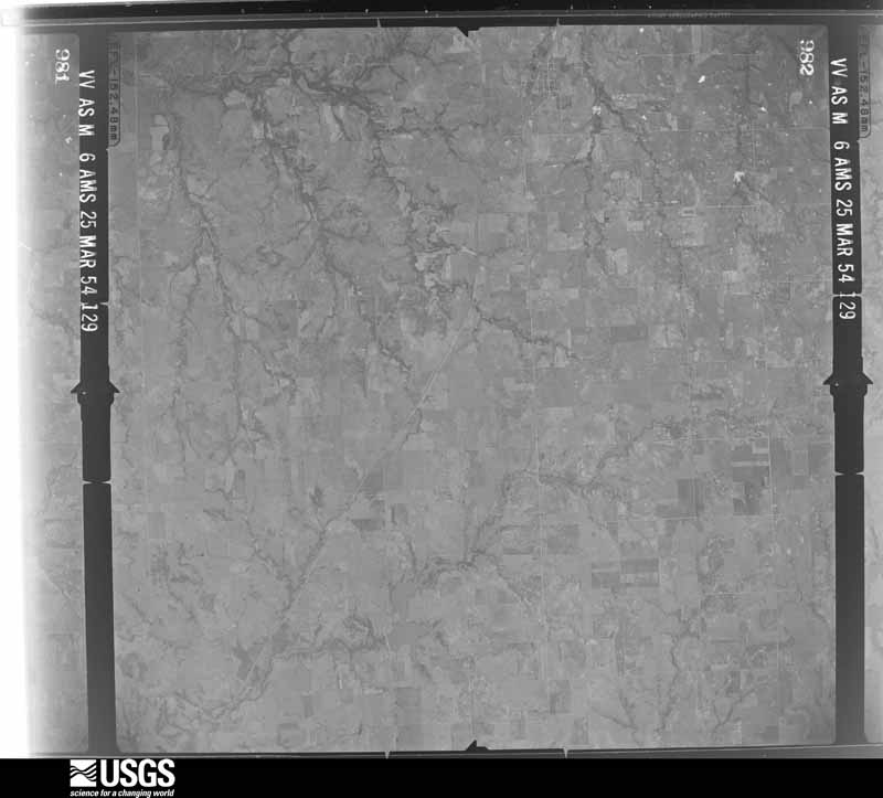
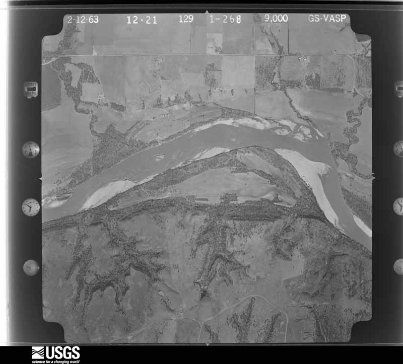
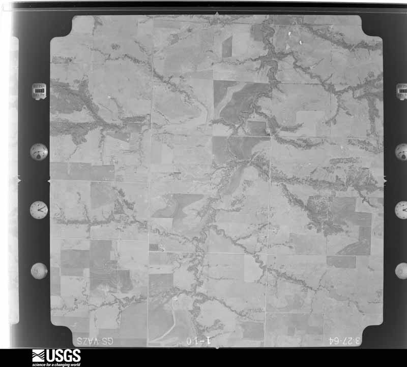
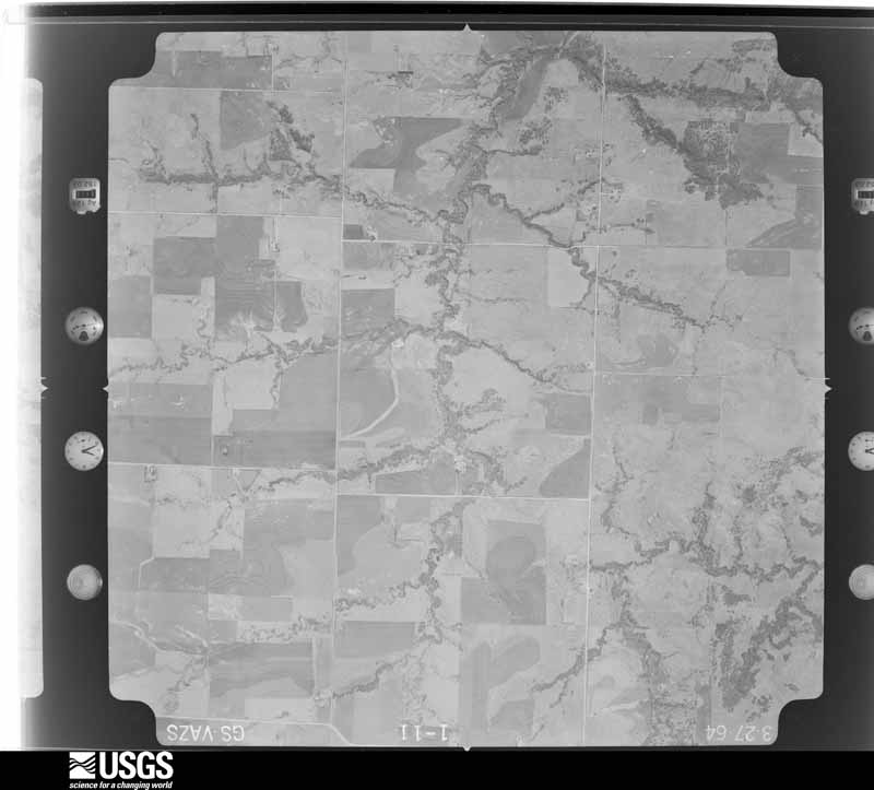
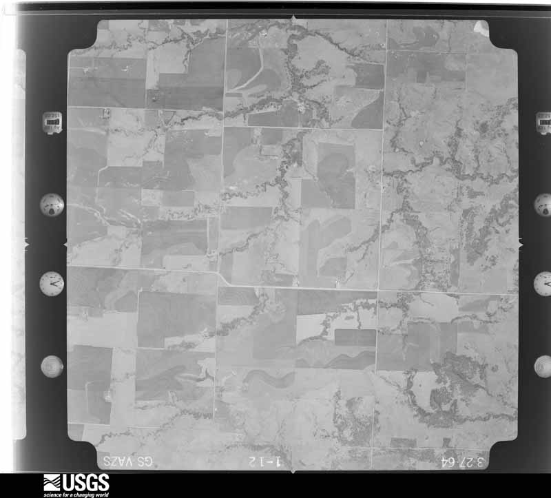
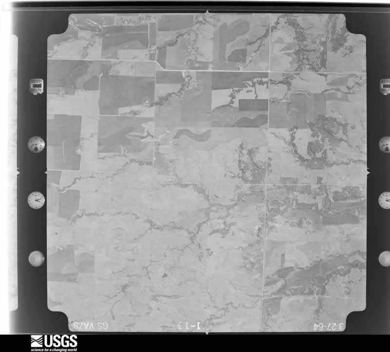
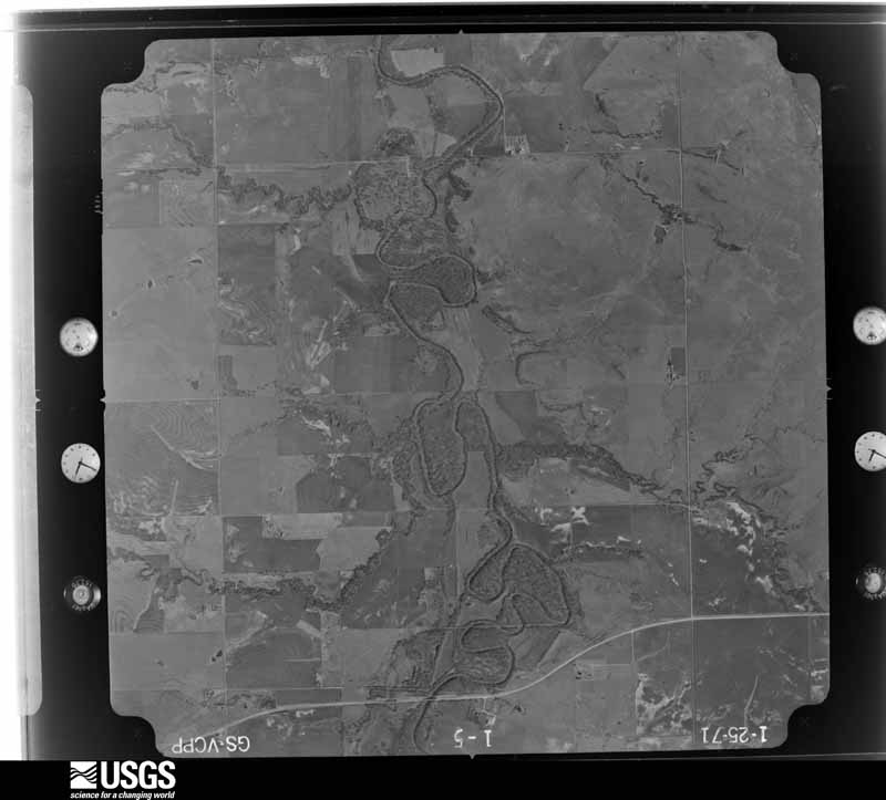
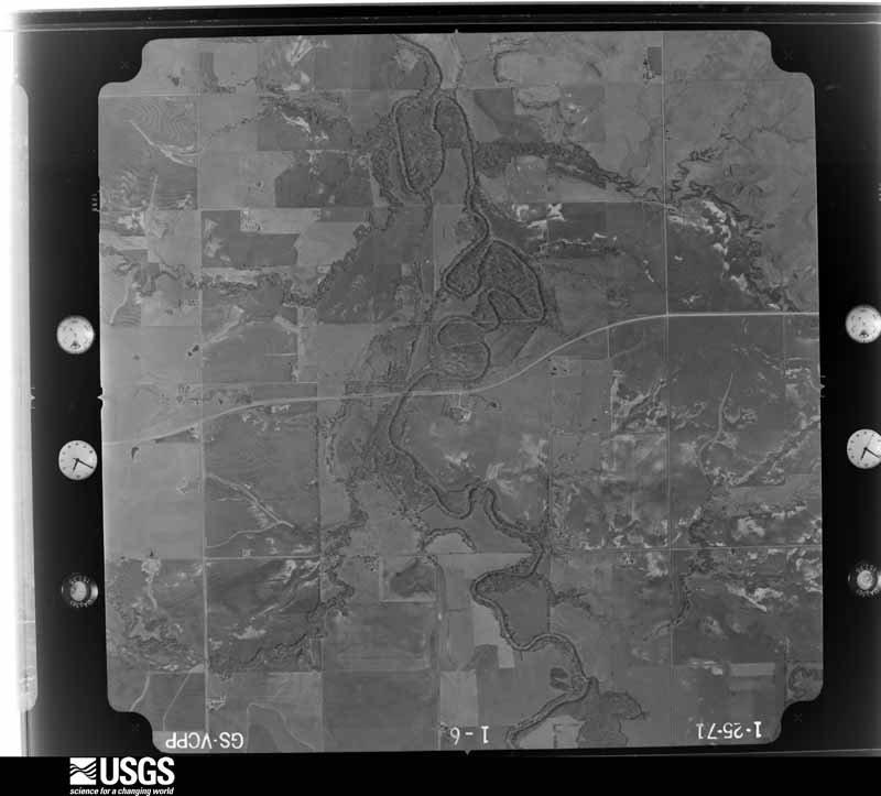
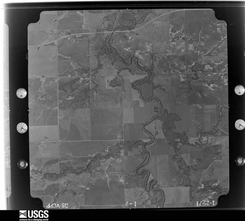
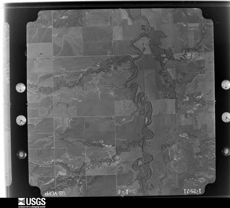
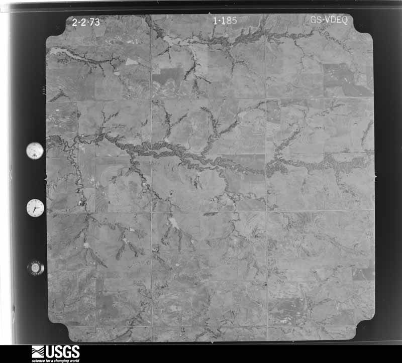
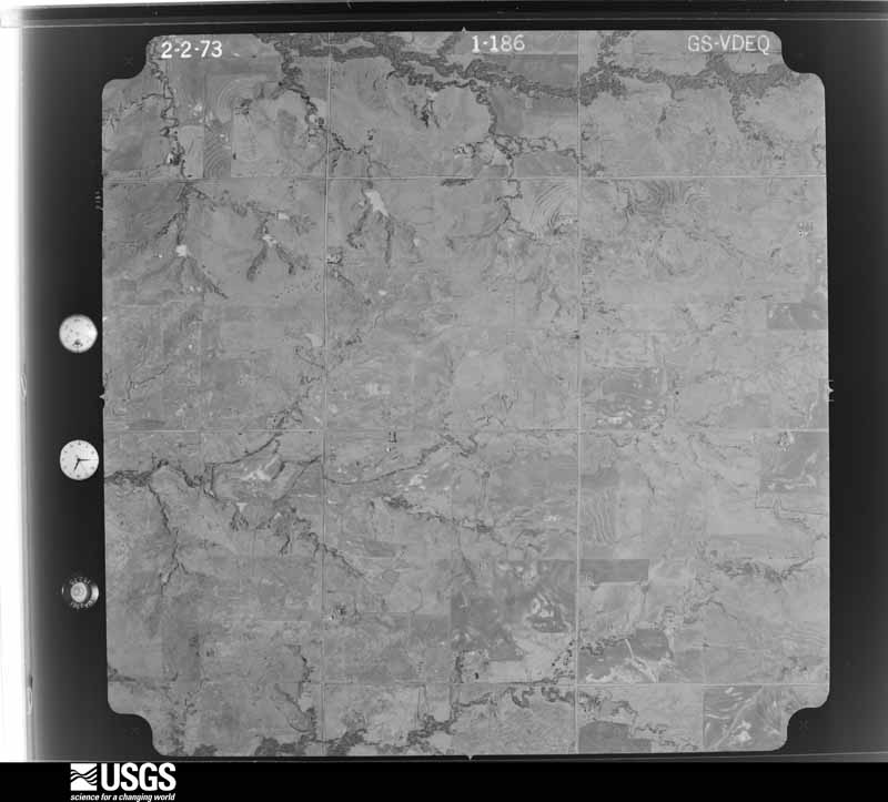
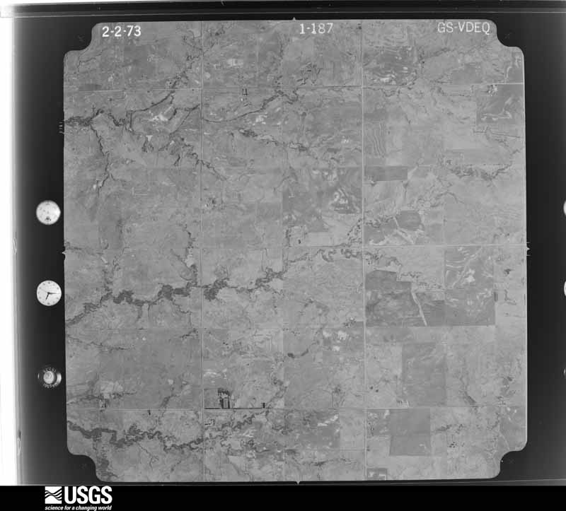
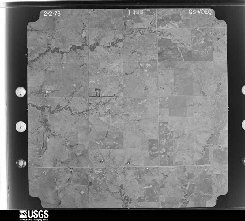
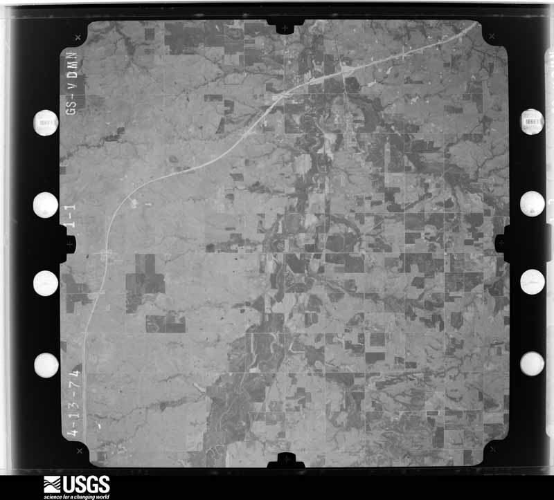
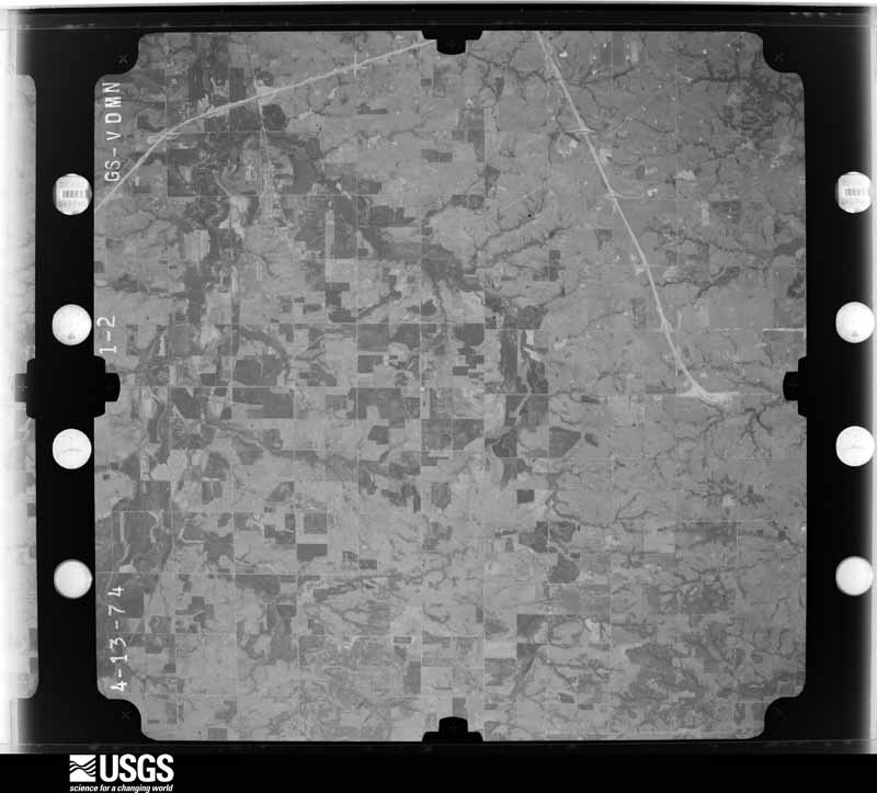
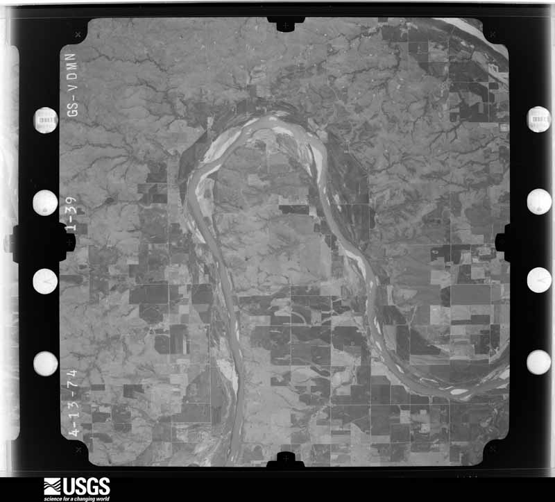
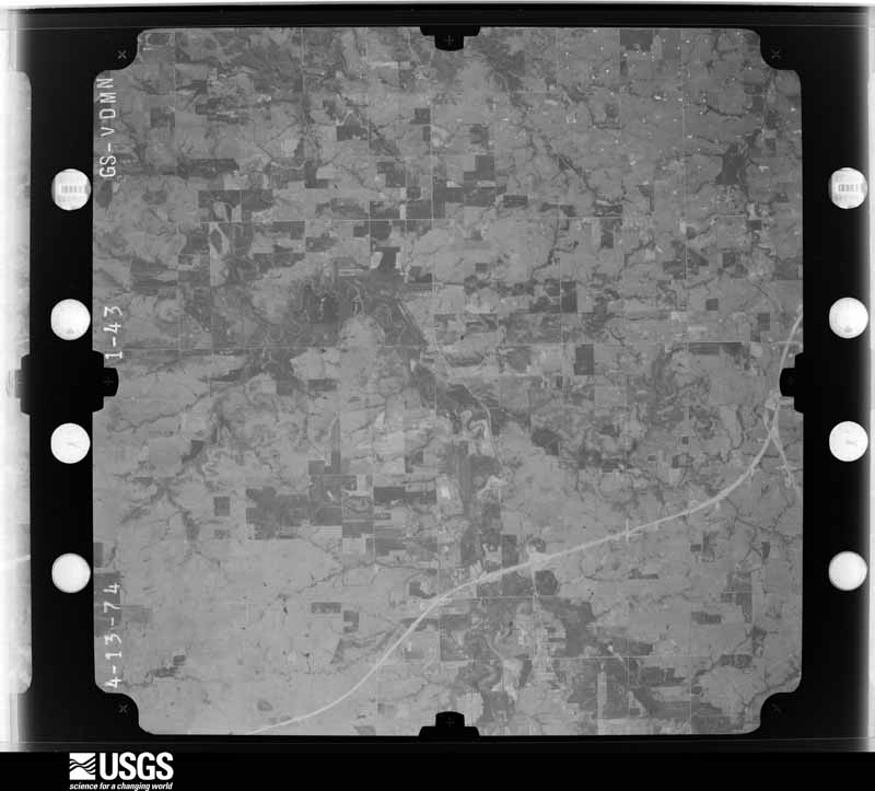
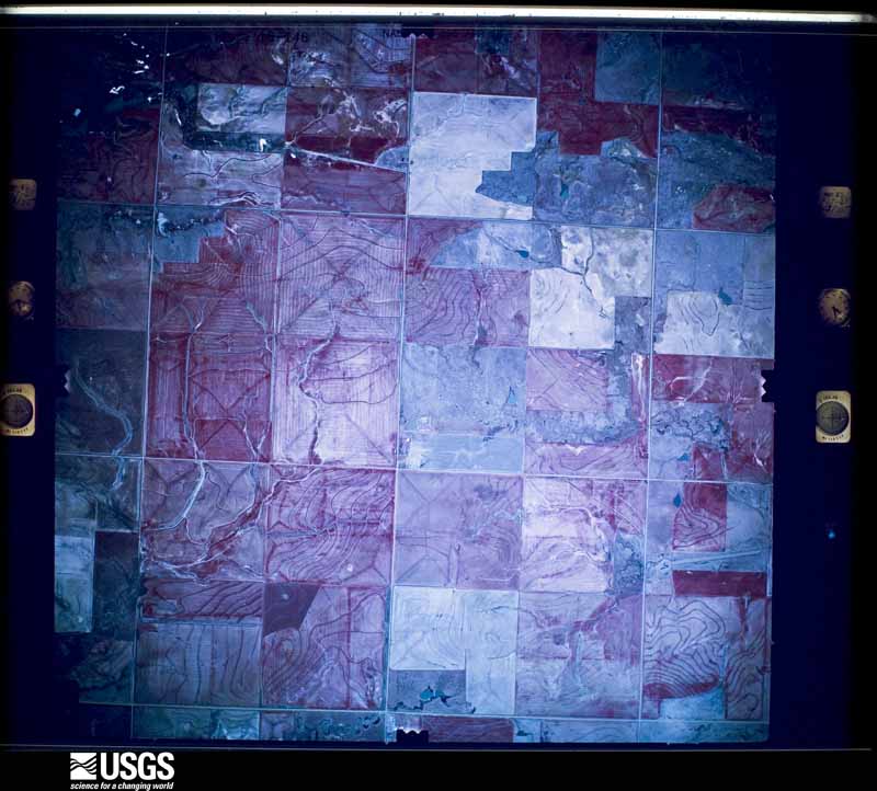
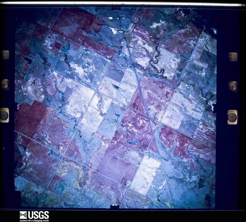
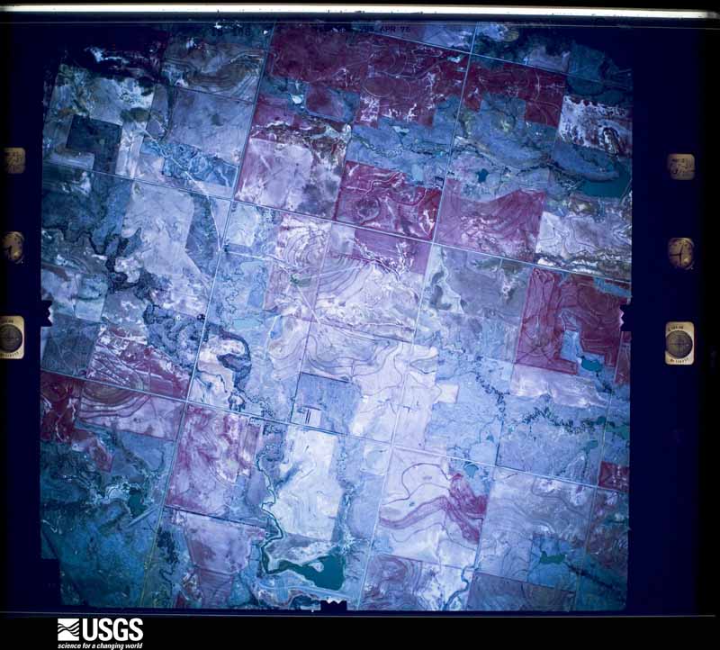
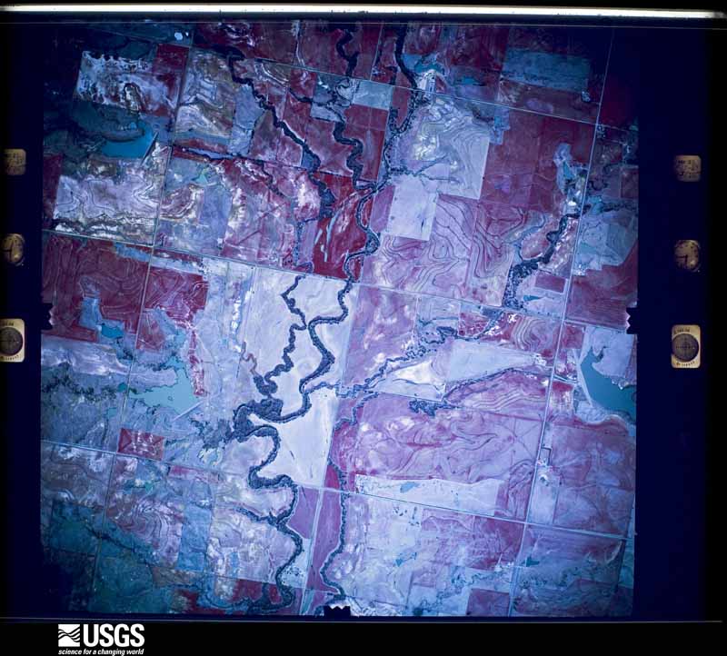
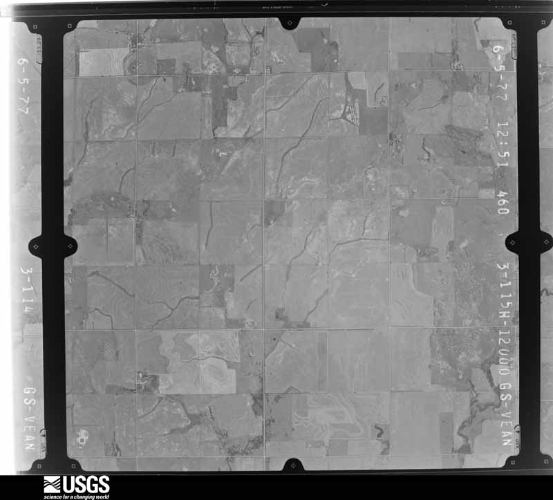
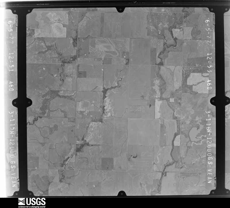
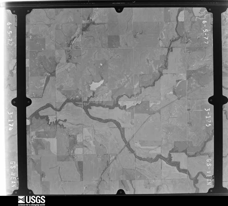
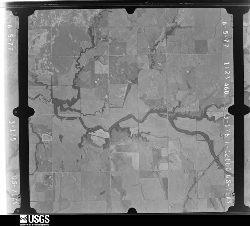
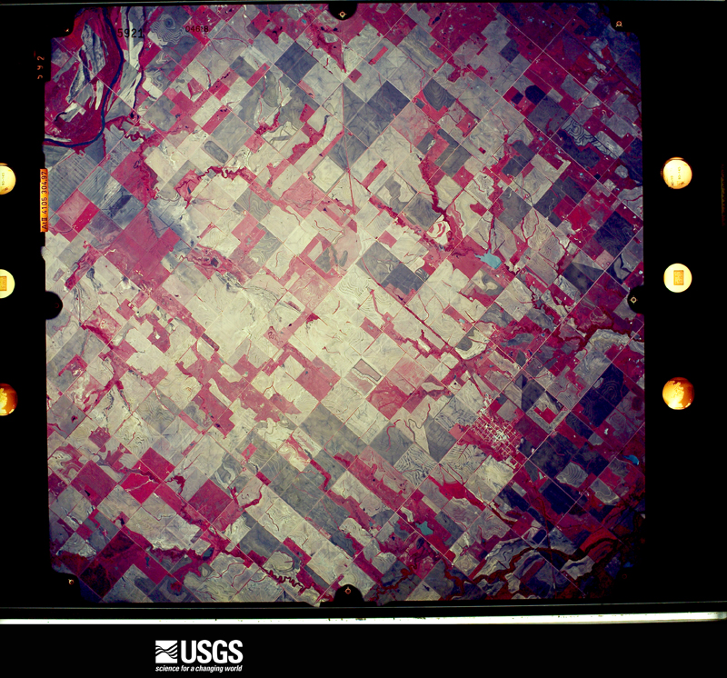
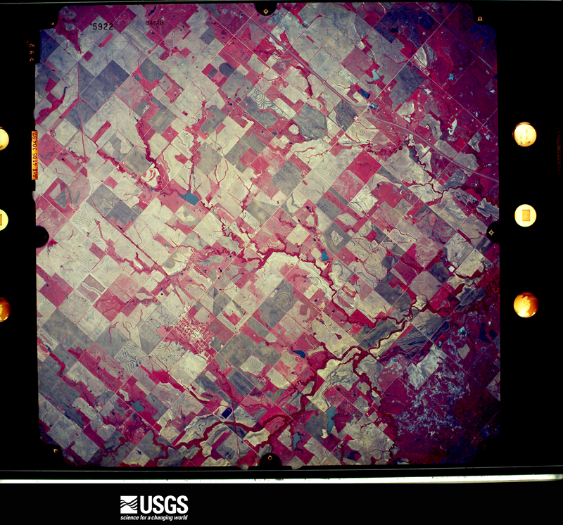
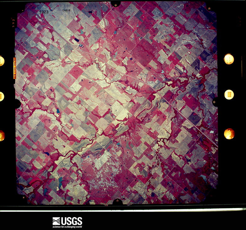
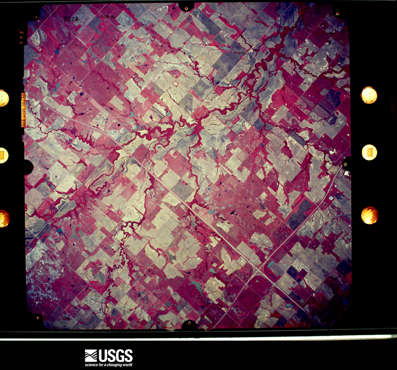
Flown by the U.S. Geological Survey between 1937 and 1989, the Aerial Photo Single Frames collection is the definitive mid-century view of the land: fields, roads and rivers as the camera saw them. The Survey holds 701 frames inside the rectangle that bounds this county; the 33 frames below were taken over the county itself, chosen across the decades of flights (at most four a year from that rectangle), so one flight cannot crowd out the rest. The full set is free to browse and download at EarthExplorer under the dataset Aerial Photo Single Frames.
The thermometers that kept this county's weather, as the federal records hold them. The extremes below are measured values from those records, not estimates.
Who lived here in 1950, one enumeration district at a time, as the Census Bureau described each district. Each row opens its official National Archives result, with Population Schedules and ED Maps available there.
Every wildfire the federal occurrence database records inside this county: 72 of them, burning about 8,440 acres. 5 started naturally and 14 were recorded as arson. Each settlement page carries the fires within five miles of it.
| Reported cause | Fires |
|---|---|
| Missing data/not specified/undetermined | 27 |
| Debris and open burning | 15 |
| Arson/incendiarism | 14 |
| Equipment and vehicle use | 7 |
| Natural | 5 |
| Power generation/transmission/distribution | 2 |
| Recreation and ceremony | 1 |
| Railroad operations and maintenance | 1 |
The five largest, by the area the report gives. One of them was set deliberately.
| Date | Cause | Size | Reported by | Name on the report |
|---|---|---|---|---|
| 22 March 2018 | Debris and open burning | 1,280 acres | Pawnee Agency | BIG BEND |
| 27 February 2006 | Missing data/not specified/undetermined | 1,200 acres | Pawnee Agency | JASON STEVENS |
| 3 October 2000 | Missing data/not specified/undetermined | 1,000 acres | Oklahoma Division of Forestry | PERRY |
| 27 February 2006 | Missing data/not specified/undetermined | 650 acres | Oklahoma Division of Forestry | PERRY |
| 8 January 2006 | Missing data/not specified/undetermined | 600 acres | Oklahoma Division of Forestry | SOUTH PERRY |
| 15 January 2006 | Missing data/not specified/undetermined | 580 acres | Oklahoma Division of Forestry | STILLWATER NORTH |
| 27 February 2016 | Missing data/not specified/undetermined | 301 acres | Oklahoma Division of Forestry | PERRY LAKE |
| 23 March 2017 | Arson/incendiarism | 282 acres | Pawnee Agency | LONG BRANCH |
Every settlement page carries the fires within five miles of it - see the settlement index below.
The NOAA Storm Events Database holds 496 reports for this county, causing 1 death, 19 injuries and about $7,623,560 in recorded property damage. Each settlement page carries the reports that name it.
| Kind of event | Reports |
|---|---|
| Hail | 233 |
| Thunderstorm Wind | 190 |
| Tornado | 48 |
| Flash Flood | 17 |
| Lightning | 5 |
| Heavy Rain | 2 |
| Flood | 1 |
The most serious of them, by death, then injury, then recorded damage. The accounts are quoted exactly as the forecast office filed them.
| When | Event | Place named | Harm | What the report says |
|---|---|---|---|---|
| April 1987 | Thunderstorm Wind | not stated | 1 killed | no account filed |
| May 1999 | Tornado (F2) | Perry | 10 hurt, $3,000,000 | Tornado B20 (Noble County portion). On January 10, 2001 tornadoes B20 and B21 were combined and will be identified as B21. Tornado B21 no longer exists. Please see summary at end of May 3rd storm reports for more information. |
| April 1991 | Tornado (F4) | not stated | 6 hurt, $2,500,000 | no account filed |
| April 1999 | Tornado (F1) | Billings | 1 hurt, $30,000 | no account filed |
| April 1968 | Tornado (F2) | not stated | 1 hurt, $25,000 | no account filed |
| August 2011 | Thunderstorm Wind | Perry | 1 hurt | A mobile home was blown onto its side, injuring one person inside .Fence panels and large limbs were blown down. Monetary damages were estimated. |
| May 1993 | Thunderstorm Wind | Perry | $500,000 | no account filed |
| April 1964 | Tornado (F2) | not stated | $250,000 | no account filed |
| May 2016 | Tornado (EF2) | Lake Mccurtry Dam | $200,000 | This tornado developed on or just northeast of Lake McMurtry with tree damage first observed along NS-3275 Road just northeast of the lake. A mobile home was destroyed, two home received roof damage and significant tree damage occurred as the tornado approached the Payne County line. The tornado crossed into Payne County near Glencoe Road. |
| October 1998 | Flash Flood | Red Rock | $200,000 | no account filed |
| May 2019 | Tornado (EF1) | Lucien | $75,000 | This tornado moved from Garfield County into Noble County to the south of Lucien. The tornado heavily damaged a house and a barn to the south-southeast of Lucien as it moved northeast. The tornado dissipated about 2.5 miles east of Lucien. |
| May 2019 | Tornado (EF1) | Lucien | $75,000 | A tornado developed about 6 miles west-southwest of Perry and moved to about 4 miles west of Perry. Barns and a home were damaged just east of the intersection of US Highway 77 and State Highway 164. |
| June 2024 | Thunderstorm Wind | Red Rock | $50,000 | Relayed image showing an exterior wall of a large-span building collapsed due to thunderstorm wind. Time is radar estimated. |
| March 1997 | Thunderstorm Wind | Perry | $50,000 | Three mobile homes were destroyed and five others were heavily damaged by severe thunderstorm winds at a mobile home park 8 miles east of Perry. On US 64, a camping trailer 6 miles east of Perry was completely destroyed. It was described by the owner as having been "put in a press and squashed". In Perry the Elks lodge roof was damaged and some bleachers from a ball field were blown into a road. Numerous tree, power lines, and signs were also downed in Perry. |
| April 1994 | Thunderstorm Wind | Perry | $50,000 | no account filed |
| May 1993 | Thunderstorm Wind | Perry | $50,000 | no account filed |
| December 1999 | Tornado (F1) | Perry | $38,000 | Refer to summary at end of Dec 2nd storm reports for more information. |
| March 1997 | Thunderstorm Wind | Morrison | $36,000 | A mobile home was blown across a road and into a pasture by severe thunderstorm winds. At a house northwest of Morrison, numerous large trees were uprooted, a corral and a stock trailer were destroyed, and a barn sustained extensive damage. About a mile north of Morrison a small building was destroyed, killing one bull and three cows. The Morrison football field sustained an estimated $15000 in damage to the scoreboard, a goal post, and a utility building. nine power poles east of Morrison were blown down by the severe thunderstorm winds. |
| May 2019 | Tornado (EF1) | Sumner | $30,000 | A car was flipped, a garage door damaged, and numerous trees were downed by a tornado east of Perry. |
| March 2004 | Lightning | Lucien | $30,000 | Lightning caused the tops of two tank batteries to come off and set the oil on fire at Lillian Lease, one mile north of Highway 164. |
| May 2004 | Tornado (F0) | Sumner | $30,000 | This tornado was observed touching down north-northeast of Sumner before being observed by several boaters and fishermen crossing Sooner Lake into Pawnee County. In Noble county, one barn was destroyed and the garage door was blown in on another. There was also scattered tree and tree limb damage. |
| October 1998 | Tornado (F1) | Perry | $30,000 | no account filed |
| June 2024 | Thunderstorm Wind | Perry | $25,000 | Multiple confirmations/images of thunderstorm wind damage in and around the community of Perry. This included multiple trees uprooted and at least one outbuilding destroyed. Time is radar estimated. |
| June 2024 | Hail | Perry | $25,000 | Social media image. Additional image/confirmation of siding and window damage to at least one house due to wind-driven hailfall. Time is radar estimated. |
| March 2004 | Flash Flood | Perry | $25,000 | A report from the public indicated that flash flooding had occurred during the afternoon hours of March 4, and that some local roads had washed away and trees had been uprooted by floodwaters near Perry, OK. |
| April 1968 | Tornado (F2) | not stated | $25,000 | no account filed |
| June 1966 | Tornado (F1) | not stated | $25,000 | no account filed |
| March 1965 | Tornado (F1) | not stated | $25,000 | no account filed |
| August 2003 | Thunderstorm Wind | Lucien | $20,000 | Strong downburst winds destroyed a sixty foot by thirty foot barn. A six foot by six foot board from the barn was forced through the roof of another barn. A satellite dish near the house was also heavily damaged. |
| March 2000 | Thunderstorm Wind | Morrison | $20,000 | Two barns were destroyed, and a pick-up truck was damaged on the west side of town. |
| May 2019 | Thunderstorm Wind | Perry | $10,000 | Damage relayed through media story. The roof of a barn was blown about 200 yard away along with damage to a few walls of the barn. |
| August 2017 | Thunderstorm Wind | Billings | $10,000 | A tractor trailer was blown over. |
| May 2016 | Thunderstorm Wind | Ceres | $10,000 | Winds overturned a semi. The time of this reported was estimated based on radar data. |
| June 2016 | Thunderstorm Wind | Marland | $10,000 | One building had its roof partially peeled, and another smaller storage building was collapsed. Trees and a fence also sustained minor damage. |
| May 2016 | Tornado (EF2) | Sumner | $10,000 | This tornado moved back into Noble County from Payne County between Country Club Road and Sangre Road and moved north-northeast for about a mile and half. Damage was confined to trees and power poles, but broken wood power poles still support an EF2 damage rating. |
| July 2006 | Thunderstorm Wind | Perry | $10,000 | Cars were blown off Interstate 35 near mile marker 194 and Highway 412. |
| March 2004 | Hail | Morrison | $10,000 | Greenhouse roof damaged by hail. |
| July 2003 | Thunderstorm Wind | Billings | $10,000 | Wind damage was reported on the south side of town. Several four to five inch diameter tree limbs and two power poles were downed. Several homes also received shingle damage. |
| April 2000 | Thunderstorm Wind | Morrison | $10,000 | Two businesses at the intersection of Highway 64 and Highway 177, also known as Bill's Corner, sustained structural damage. A 15 foot by 15 foot section of sheet metal roofing from one of the businesses was peeled back and lofted southward. At the other business, a 12 foot by 20 foot metal frame, sheet metal exterior building was blown approximately 20 yards to the south and destroyed, while debris from the building pushed over 2 tanks full of diesel, each weighing 2500 pounds. In addition, a highway sign about 150 yards to the north-northwest of these businesses was pushed over almost to the ground, laying down to the south southwest, and a small wooden building approximately 6 feet by 8 feet, near the sign was rolled and destroyed, landing south southwest from its original location. |
| August 2011 | Thunderstorm Wind | Perry | $6,000 | Several power lines were downed, some of which caused small fires. Monetary damages were estimated. |
| May 2024 | Thunderstorm Wind | Lucien | $5,000 | Relayed image showing a power pole snapped. Additional trained spotter confirmation of powerlines down in the vicinity. Time is radar estimated. |
| September 2019 | Thunderstorm Wind | Red Rock | $5,000 | Power poles downed. Time based on radar. |
| October 2009 | Thunderstorm Wind | Morrison | $5,000 | Numerous two to three inch diameter tree limbs were downed. Minor damag was also reported to a carport. Monetary damages were estimated. |
| March 2008 | Tornado (EF0) | Perry | $5,000 | The brief tornado damaged a hay barn and shed 6 miles north and 1 mile east of Perry. No other damage was reported. Monetary damages were estimated. |
| June 2004 | Thunderstorm Wind | Morrison | $5,000 | Power lines were downed. |
| August 1999 | Lightning | Sumner | $5,000 | no account filed |
| April 1994 | Thunderstorm Wind | Perry | $5,000 | no account filed |
| March 1993 | Hail | 2 W Perry | $5,000 | no account filed |
| April 2000 | Thunderstorm Wind | Morrison | $3,000 | A 10 foot by 14 foot wooden building was pushed over intact onto its west side. Large tree limbs were blown down to the southwest, and a tree about 10 to 12 inches in diameter was split and laying to the southwest, however it appears the tree was at least partially dead. |
| July 2000 | Thunderstorm Wind | Billings | $3,000 | Numerous trees were downed, and damage was sustained to a house roof. |
| June 1999 | Lightning | Perry | $3,000 | no account filed |
| June 1999 | Lightning | Perry | $3,000 | no account filed |
| November 2015 | Thunderstorm Wind | Perry | $2,500 | Winds caused some damage to a deck and knocked over a couple of sheds. |
| May 2003 | Tornado (F0) | Red Rock | $2,500 | This short lived F0 tornado, spotted by law enforcement, occurred in an area that only sustained tree damage. No other damage was found. The supercell that produced this brief tornado eventually moved into Osage County producing a long track tornado. |
| March 1960 | Tornado (F1) | not stated | $2,500 | no account filed |
| March 1959 | Tornado (F2) | not stated | $2,500 | no account filed |
| May 1957 | Tornado (F1) | not stated | $2,500 | no account filed |
| June 1953 | Tornado (F1) | not stated | $2,500 | no account filed |
| October 1951 | Tornado (F1) | not stated | $2,500 | no account filed |
| June 2024 | Thunderstorm Wind | Red Rock | $2,000 | Powerlines blown down along U.S. Highway 177. Report relayed by emergency management. Time is radar estimated. |
The Survey's mineral resources record lists 147 workings inside this county. 6 still produce and 141 are closed or unrecorded. Each settlement page carries the workings within five miles of it.
| Commodity | Workings |
|---|---|
| Clay | 55 |
| Stone, Crushed/Broken | 36 |
| Sand and Gravel, Construction | 35 |
| Copper | 14 |
| Clay, Sand and Gravel, Construction | 4 |
| Clay, Stone, Crushed/Broken | 4 |
| Silver, Vanadium, Chromium, Molybdenum | 1 |
| Chromium, Molybdenum, Silver, Vanadium | 1 |
| Silver | 1 |
| Stone, Crushed/Broken, Clay | 1 |
The least common of them first, because a county's hundredth gravel pit says nothing its first ten did not.
| Where | Site | Commodity | Status | Recorded |
|---|---|---|---|---|
| Oak Creek-2 | Copper, Silver | Occurrence | 1972 | |
| Perry Southeast-1 | Copper, Chromium, Molybdenum, Silver, Vanadium | Past Producer | 1903 | |
| Perry Southeast-2 | Copper, Silver, Vanadium, Chromium, Molybdenum | Occurrence | 1903 | |
| Unknown Shale Pit | Stone, Crushed/Broken, Clay | Past Producer | ||
| Unknown Sand Pit | Clay, Sand and Gravel, Construction | Past Producer | ||
| Unknown Sand Pit | Clay, Sand and Gravel, Construction | Past Producer | ||
| Unknown Sandstone Pit | Clay, Stone, Crushed/Broken | Past Producer | ||
| Unknown Sandstone Pit | Clay, Sand and Gravel, Construction | Past Producer | ||
| Unknown Sandstone Pit | Clay, Stone, Crushed/Broken | Past Producer | ||
| Unknown Shale Pit | Clay, Stone, Crushed/Broken | Past Producer | ||
| Unknown Shale Pit | Clay, Sand and Gravel, Construction | Past Producer | ||
| Unknown Shale Pit | Clay, Stone, Crushed/Broken | Past Producer | ||
| Greasy Creek | Copper | Occurrence | 1979 | |
| Lela South-1 | Copper | Occurrence | 1975 | |
| Lela West-1 | Copper | Occurrence | 1975 | |
| Lela West-2 | Copper | Occurrence | 1975 | |
| Morrison Southeast-1 | Copper | Occurrence | 1975 | |
| Morrison Southeast-2 | Copper | Occurrence | 1975 | |
| Morrison Southwest | Copper | Occurrence | 1975 | |
| Oak Creek-1 | Copper | Occurrence | 1975 | |
| Oak Creek-3 | Copper | Occurrence | 1975 | |
| Perry North-1 | Copper | Occurrence | 1946 | |
| Perry-1 | Copper | Occurrence | 1946 | |
| Unknown Gravel Pit | Sand and Gravel, Construction | Past Producer | ||
| Unknown Gravel Pit | Sand and Gravel, Construction | Past Producer | ||
| Unknown Gravel Pit | Sand and Gravel, Construction | Past Producer | ||
| Unknown Gravel Pit | Sand and Gravel, Construction | Past Producer | ||
| Unknown Gravel Pit | Sand and Gravel, Construction | Past Producer | ||
| Unknown Gravel Pit | Sand and Gravel, Construction | Past Producer | ||
| Unknown Gravel Pit | Sand and Gravel, Construction | Past Producer | ||
| Unknown Gravel Pit | Sand and Gravel, Construction | Past Producer | ||
| Unknown Gravel Pit | Sand and Gravel, Construction | Past Producer | ||
| Unknown Gravel Pit | Sand and Gravel, Construction | Past Producer | ||
| Unknown Gravel Pit | Sand and Gravel, Construction | Past Producer | ||
| Unknown Gravel Pit | Sand and Gravel, Construction | Past Producer | ||
| Unknown Gravel Pit | Sand and Gravel, Construction | Past Producer | ||
| Unknown Gravel Pit | Sand and Gravel, Construction | Past Producer | ||
| Unknown Gravel Pit | Sand and Gravel, Construction | Unknown | ||
| Unknown Gravel Pit | Sand and Gravel, Construction | Past Producer | ||
| Unknown Gravel Pit | Sand and Gravel, Construction | Past Producer | ||
| Unknown Gravel Pit | Sand and Gravel, Construction | Past Producer | ||
| Unknown Gravel Pit | Sand and Gravel, Construction | Past Producer | ||
| Unknown Gravel Pit | Sand and Gravel, Construction | Past Producer | ||
| Unknown Gravel Pit | Sand and Gravel, Construction | Past Producer | ||
| Unknown Gravel Pit | Sand and Gravel, Construction | Past Producer | ||
| Unknown Gravel Pit | Sand and Gravel, Construction | Past Producer | ||
| Unknown Gravel Pit | Sand and Gravel, Construction | Past Producer | ||
| Unknown Gravel Pit | Sand and Gravel, Construction | Past Producer | ||
| Unknown Gravel Pit | Sand and Gravel, Construction | Past Producer | ||
| Unknown Gravel Pit | Sand and Gravel, Construction | Past Producer | ||
| Unknown Gravel Pit | Sand and Gravel, Construction | Past Producer | ||
| Unknown Gravel Pits | Sand and Gravel, Construction | Past Producer | ||
| Unknown Sand Pit | Sand and Gravel, Construction | Past Producer | ||
| Unknown Sand Pit | Sand and Gravel, Construction | Past Producer | ||
| Unknown Sand Pit | Sand and Gravel, Construction | Past Producer | ||
| Unknown Sand Pit | Sand and Gravel, Construction | Past Producer | ||
| Unknown Sand Pit | Sand and Gravel, Construction | Past Producer | ||
| Unknown Sand Pit | Sand and Gravel, Construction | Past Producer | ||
| Unknown Sandstone Pit | Stone, Crushed/Broken | Past Producer | ||
| Unknown Sandstone Pit | Stone, Crushed/Broken | Past Producer | ||
| Unknown Sandstone Pit | Stone, Crushed/Broken | Past Producer | ||
| Unknown Sandstone Pit | Stone, Crushed/Broken | Past Producer | ||
| Unknown Sandstone Pit | Stone, Crushed/Broken | Past Producer | ||
| Unknown Sandstone Pit | Stone, Crushed/Broken | Past Producer | ||
| Unknown Sandstone Pit | Stone, Crushed/Broken | Past Producer | ||
| Unknown Sandstone Pit | Stone, Crushed/Broken | Past Producer | ||
| Unknown Sandstone Pit | Stone, Crushed/Broken | Past Producer | ||
| Unknown Sandstone Pit | Stone, Crushed/Broken | Past Producer | ||
| Unknown Sandstone Pit | Stone, Crushed/Broken | Past Producer | ||
| Unknown Sandstone Pit | Stone, Crushed/Broken, Clay | Past Producer | ||
| Unknown Sandstone Pit | Stone, Crushed/Broken | Past Producer | ||
| Unknown Sandstone Pit | Stone, Crushed/Broken | Past Producer | ||
| Unknown Sandstone Pit | Stone, Crushed/Broken | Past Producer | ||
| Unknown Sandstone Pit | Stone, Crushed/Broken | Past Producer | ||
| Unknown Sandstone Pit | Stone, Crushed/Broken | Past Producer | ||
| Unknown Sandstone Pit | Stone, Crushed/Broken | Past Producer | ||
| Unknown Sandstone Pit | Stone, Crushed/Broken | Past Producer | ||
| Unknown Sandstone Pit | Stone, Crushed/Broken | Past Producer | ||
| Unknown Sandstone Pit | Stone, Crushed/Broken | Past Producer | ||
| Unknown Sandstone Pit | Stone, Crushed/Broken | Past Producer | ||
| Unknown Sandstone Pit | Stone, Crushed/Broken | Past Producer | ||
| Unknown Sandstone Pit | Stone, Crushed/Broken | Past Producer | ||
| Unknown Sandstone Pit | Stone, Crushed/Broken | Past Producer | ||
| Unknown Sandstone Pit | Stone, Crushed/Broken | Past Producer | ||
| Unknown Sandstone Pit | Stone, Crushed/Broken | Past Producer | ||
| Unknown Sandstone Pit | Stone, Crushed/Broken | Past Producer | ||
| Unknown Sandstone Pit | Stone, Crushed/Broken | Past Producer | ||
| Unknown Sandstone Pit | Stone, Crushed/Broken | Past Producer | ||
| Shirley Morton Pit | Clay | Producer | ||
| Unknown Clay Pit | Clay | Producer | ||
| Unknown Shale Pit | Clay | Past Producer | ||
| Unknown Shale Pit | Clay | Past Producer | ||
| Unknown Shale Pit | Clay | Producer | ||
| Unknown Shale Pit | Clay | Past Producer | ||
| Unknown Shale Pit | Clay | Producer | ||
| Unknown Shale Pit | Clay | Past Producer | ||
| Unknown Shale Pit | Clay | Past Producer | ||
| Unknown Shale Pit | Clay | Past Producer | ||
| Unknown Shale Pit | Clay | Past Producer | ||
| Unknown Shale Pit | Clay | Past Producer | ||
| Unknown Shale Pit | Clay | Past Producer | ||
| Unknown Shale Pit | Clay | Past Producer | ||
| Unknown Shale Pit | Clay | Past Producer | ||
| Unknown Shale Pit | Clay | Past Producer | ||
| Unknown Shale Pit | Clay | Past Producer | ||
| Unknown Shale Pit | Clay | Past Producer | ||
| Unknown Shale Pit | Clay | Past Producer | ||
| Unknown Shale Pit | Clay | Past Producer | ||
| Unknown Shale Pit | Clay | Past Producer | ||
| Unknown Shale Pit | Clay | Past Producer | ||
| Unknown Shale Pit | Clay | Past Producer | ||
| Unknown Shale Pit | Clay | Past Producer | ||
| Unknown Shale Pit | Clay | Past Producer | ||
| Unknown Shale Pit | Clay | Past Producer | ||
| Unknown Shale Pit | Clay | Past Producer | ||
| Unknown Shale Pit | Clay | Past Producer | ||
| Unknown Shale Pit | Clay | Past Producer | ||
| Unknown Shale Pit | Clay | Past Producer | ||
| Unknown Shale Pit | Clay | Past Producer | ||
| Unknown Shale Pit | Clay | Past Producer | ||
| Unknown Shale Pit | Clay | Past Producer | ||
| Unknown Shale Pit | Clay | Producer | ||
| Unknown Shale Pit | Clay | Past Producer | ||
| Unknown Shale Pit | Clay | Past Producer | ||
| Unknown Shale Pit | Clay | Past Producer | ||
| Unknown Shale Pit | Clay | Past Producer | ||
| Unknown Shale Pit | Clay | Past Producer | ||
| Unknown Shale Pit | Clay | Past Producer | ||
| Unknown Shale Pit | Clay | Past Producer | ||
| Unknown Shale Pit | Clay | Past Producer | ||
| Unknown Shale Pit | Clay | Past Producer | ||
| Unknown Shale Pit | Clay | Past Producer | ||
| Unknown Shale Pit | Clay | Past Producer | ||
| Unknown Shale Pit | Clay | Past Producer | ||
| Unknown Shale Pit | Clay | Producer | ||
| Unknown Shale Pit | Clay | Past Producer | ||
| Unknown Shale Pit | Clay | Past Producer | ||
| Unknown Shale Pit | Clay | Past Producer | ||
| Unknown Shale Pit | Clay | Past Producer | ||
| Unknown Shale Pit | Clay | Past Producer | ||
| Unknown Shale Pit | Clay | Past Producer |
Named settlements recorded in the Geographic Names Information System, each with the topographic sheets covering it. Villages, hamlets and abandoned places alike. Each is shown with the nearest named watercourse or landform and the survey quadrangle it falls on. The 5 places that were also surveyed for fire insurance come first, with the number of atlases and photographs held for them.
Billings census division · 74630 · Billings quadrangle
11 sheets, 1955 to 1985
Fire insurance: 4 atlases
East Noble census division · 74644 · Near Spindle Top Hill · Marland quadrangle
11 sheets, 1955 to 1985
Fire insurance: 2 atlases
East Noble census division · 73061 · On Long Branch · Morrison quadrangle
10 sheets, 1955 to 1990
Fire insurance: 3 atlases
Perry census division · 73077 · On Calf Creek · Perry quadrangle
9 sheets, 1955 to 1990
Fire insurance: 10 atlases
East Noble census division · 74651 · On Skinny Creek · Red Rock quadrangle
9 sheets, 1955 to 1990
Fire insurance: 2 atlases
Perry census division · 73077 · On Cow Creek · Black Bear quadrangle
9 sheets, 1955 to 1990
East Noble census division · 74651 · On Hackberry Creek · Ceres quadrangle
9 sheets, 1955 to 1990
Perry census division · 73757 · On East Warren Creek · Lucien quadrangle
8 sheets, 1955 to 1990
East Noble census division · 74644 · Near Spindle Top Hill · Marland quadrangle
11 sheets, 1955 to 1985
9 topographic sheets and 10 fire insurance atlases, 1894 to 1948
11 topographic sheets and 4 fire insurance atlases, 1905 to 1924
10 topographic sheets and 3 fire insurance atlases, 1905 to 1912
11 topographic sheets and 2 fire insurance atlases, 1925
9 topographic sheets and 2 fire insurance atlases, 1919
The complete index, with nothing left out. Each of these is a separate record with its own page: a federal survey report, or the case file that argued a property on to the National Register. Both are public domain and reproduced word for word.