 Block
From the record
5 National Register listings published here, 1 of them a National Historic Landmark.
Sources: the National Register database, National Park Service
38 topographic sheets and 13 fire insurance atlases across 3 places.
5 National Register listings published here, 1 of them a National Historic Landmark.
Sources: the National Register database, National Park Service
Taken for the Office of War Information and the Farm Security Administration, who photographed the country between 1935 and 1944. Works of United States government photographers, with no known restriction on use. Each opens its catalogue record.
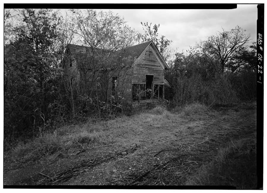
Every property in this county listed on the National Register of Historic Places, with the year it was listed and the federal nomination document.
| Photograph | Property | Type | Listed | Reference |
|---|---|---|---|---|
| Abe Lincoln Trading Company | building | 2023 | 100009607 | |
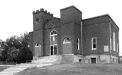 | Boley Historic District | district | 1975 | 75001568 |
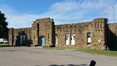 | Okemah Armory | building | 1998 | 98000734 |
 | Okfuskee County Courthouse | building | 1984 | 84003377 |
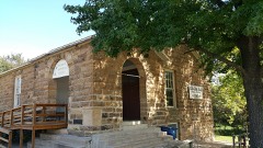 | Weleetka Town Hall and Jail | building | 1993 | 93000156 |
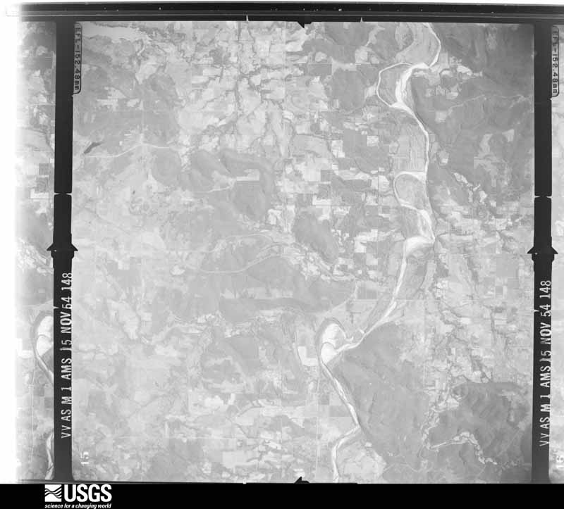
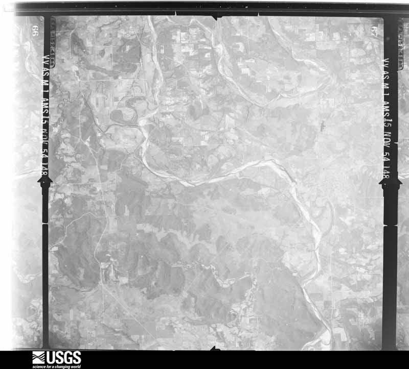
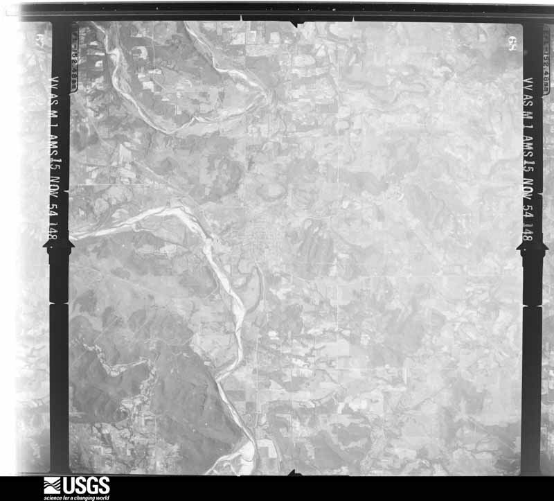
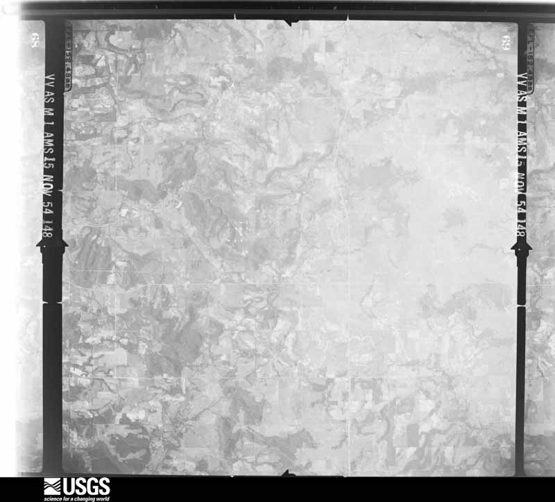
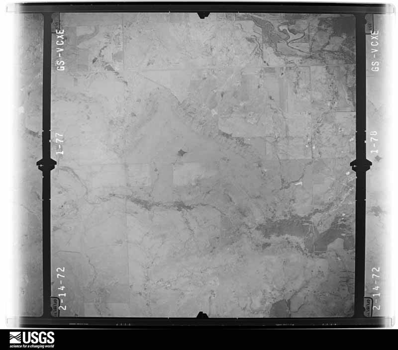
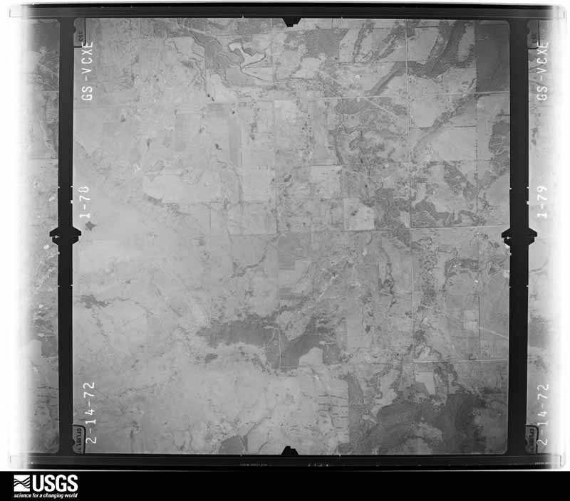
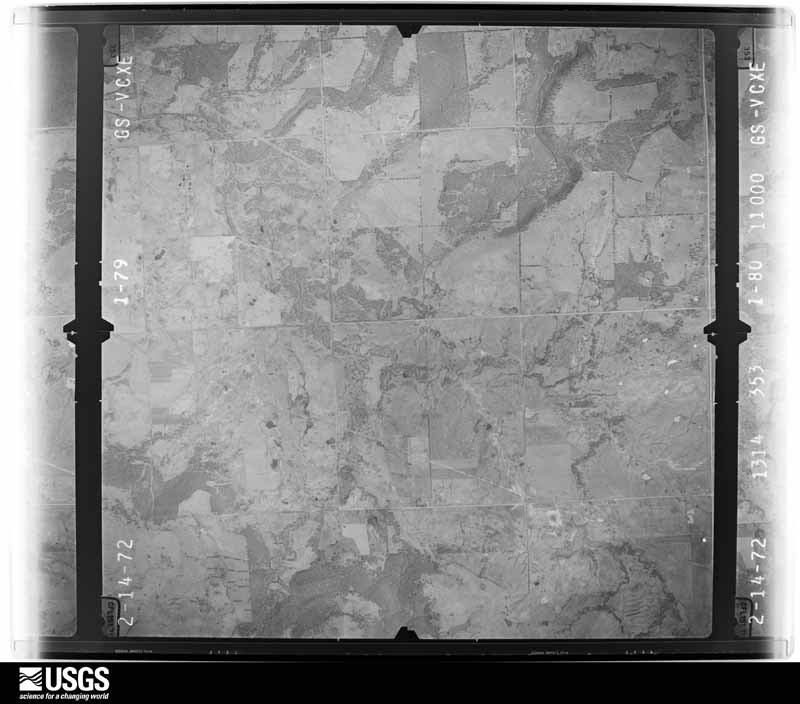
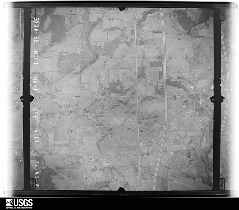
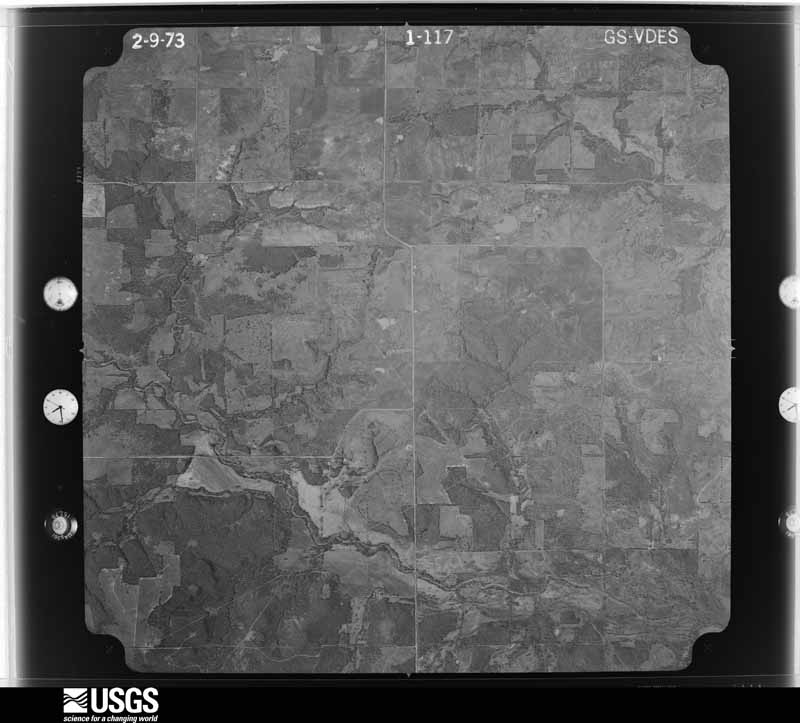
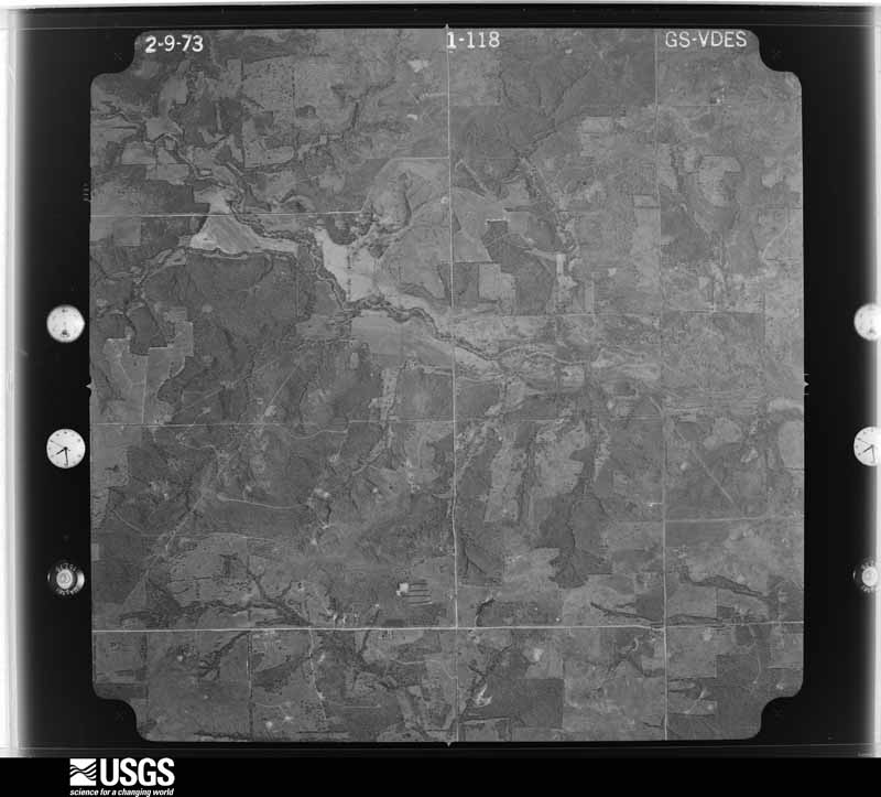
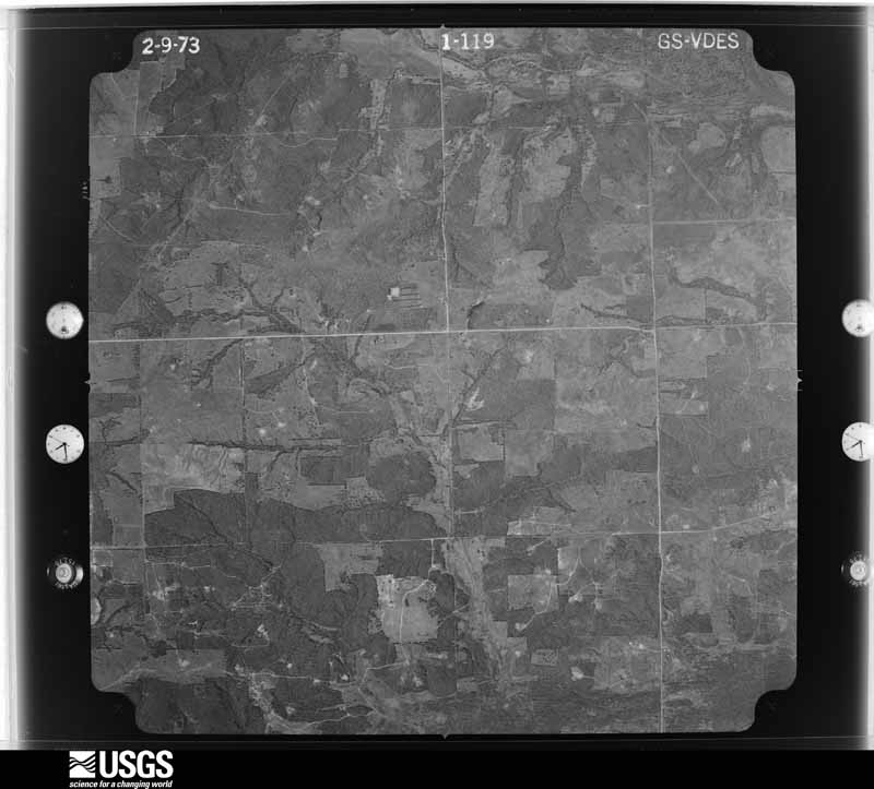
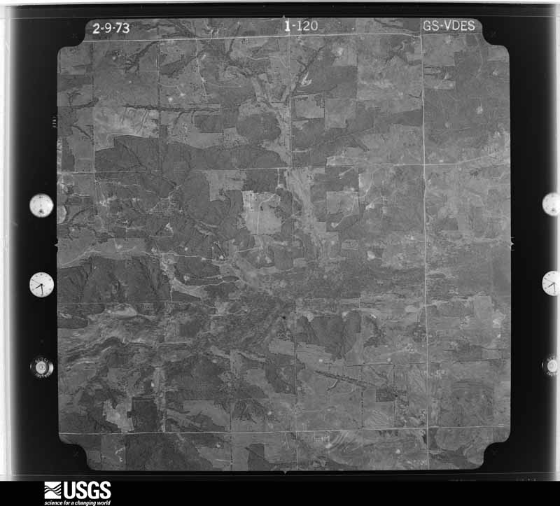
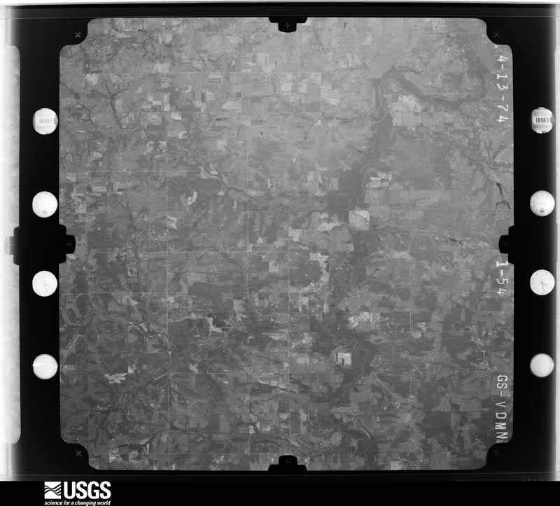
Flown by the U.S. Geological Survey between 1937 and 1989, the Aerial Photo Single Frames collection is the definitive mid-century view of the land: fields, roads and rivers as the camera saw them. The Survey holds 713 frames inside the rectangle that bounds this county; the 21 frames below were taken over the county itself, chosen across the decades of flights (at most four a year from that rectangle), so one flight cannot crowd out the rest. The full set is free to browse and download at EarthExplorer under the dataset Aerial Photo Single Frames.
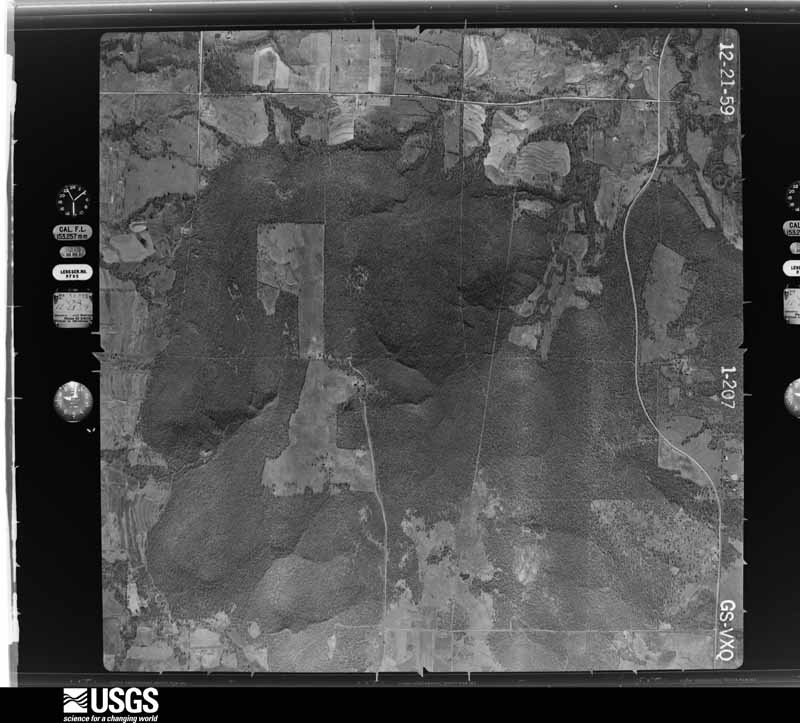
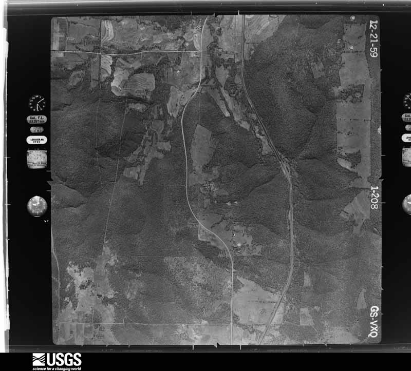
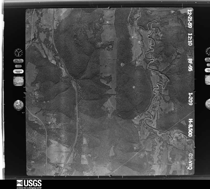
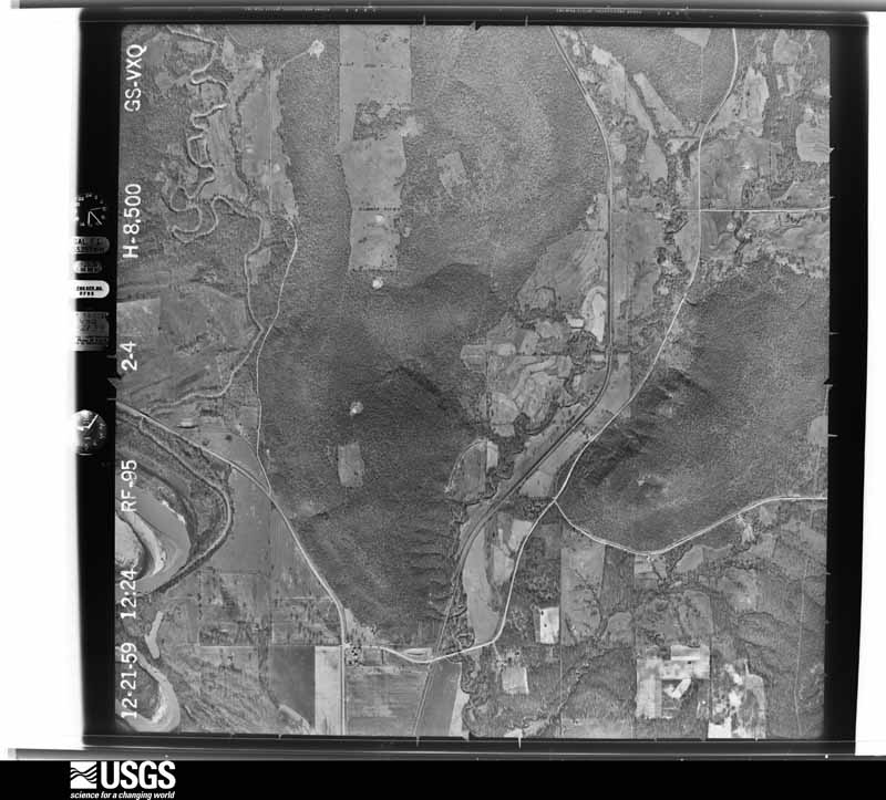
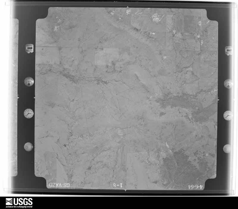
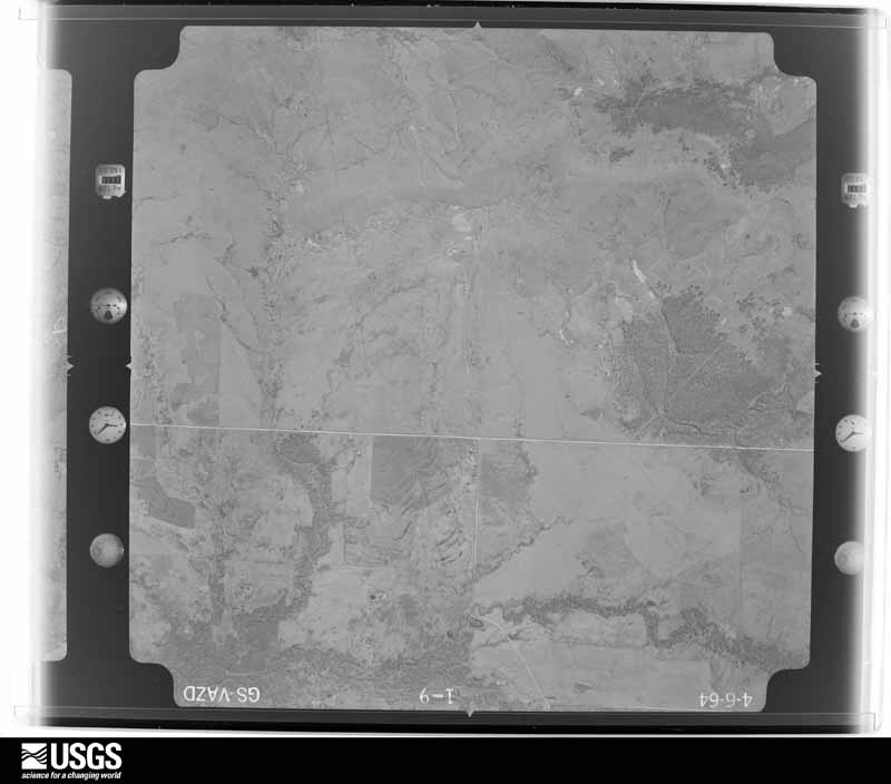
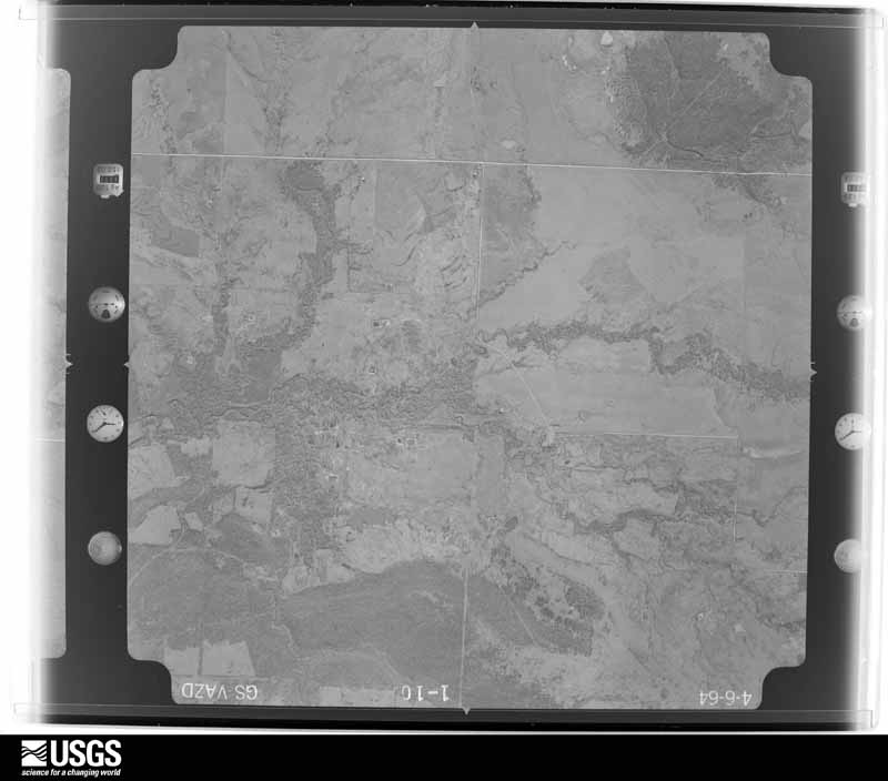
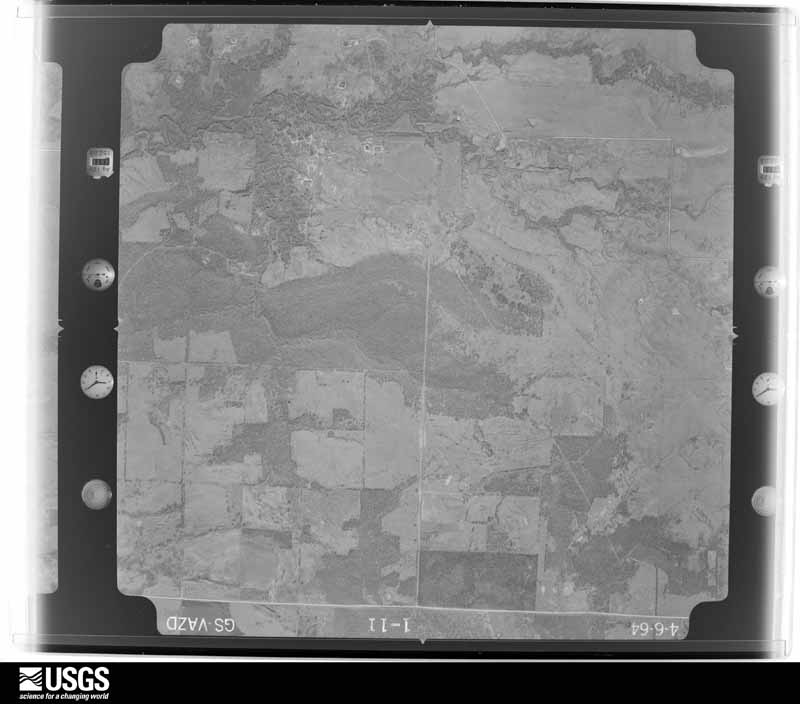
The thermometers that kept this county's weather, as the federal records hold them. The extremes below are measured values from those records, not estimates.
Who lived here in 1950, one enumeration district at a time, as the Census Bureau described each district. Each row opens its official National Archives result, with Population Schedules and ED Maps available there.
Every wildfire the federal occurrence database records inside this county: 538 of them, burning about 119,955 acres. 7 started naturally and 152 were recorded as arson. Each settlement page carries the fires within five miles of it.
| Reported cause | Fires |
|---|---|
| Debris and open burning | 172 |
| Missing data/not specified/undetermined | 154 |
| Arson/incendiarism | 152 |
| Equipment and vehicle use | 33 |
| Natural | 7 |
| Power generation/transmission/distribution | 5 |
| Misuse of fire by a minor | 4 |
| Recreation and ceremony | 4 |
| Other causes | 4 |
| Smoking | 2 |
| Firearms and explosives use | 1 |
The five largest, by the area the report gives. Four of them were set deliberately.
| Date | Cause | Size | Reported by | Name on the report |
|---|---|---|---|---|
| 1 January 2006 | Arson/incendiarism | 16,423 acres | Okmulgee Field Office | PRAGUE |
| 1 January 2006 | Arson/incendiarism | 14,000 acres | Okmulgee Field Office | ARLINGTON |
| 27 November 2005 | Debris and open burning | 9,429 acres | Okmulgee Field Office | BEARDEN |
| 18 February 2016 | Missing data/not specified/undetermined | 5,293 acres | Okmulgee Field Office | SAND CREEK |
| 10 April 2006 | Arson/incendiarism | 4,100 acres | Okmulgee Field Office | DANIELS |
| 27 November 2005 | Missing data/not specified/undetermined | 4,000 acres | Oklahoma Division of Forestry | CLEAR VIEW FIRE |
| 17 March 2019 | Debris and open burning | 2,776 acres | Okmulgee Field Office | PARSLEY CREEK |
| 22 March 2008 | Arson/incendiarism | 2,500 acres | Okmulgee Field Office | COYOTE |
Every settlement page carries the fires within five miles of it - see the settlement index below.
The NOAA Storm Events Database holds 566 reports for this county, causing 1 death, 7 injuries and about $35,443,760 in recorded property damage. Each settlement page carries the reports that name it.
| Kind of event | Reports |
|---|---|
| Hail | 277 |
| Thunderstorm Wind | 183 |
| Tornado | 59 |
| Flash Flood | 37 |
| Flood | 7 |
| Lightning | 3 |
The most serious of them, by death, then injury, then recorded damage. The accounts are quoted exactly as the forecast office filed them.
| When | Event | Place named | Harm | What the report says |
|---|---|---|---|---|
| June 2013 | Flash Flood | Weleetka | 1 killed, 1 hurt, $100,000 | Numerous roads were flooded around Clearview and Weleetka. Homes were evacuated in Weleetka from rising flood waters. Roads and bridges were damaged by flooding in this area. A 69 year old female drowned inside her vehicle after driving into floodwaters along Alabama Creek south of Clearview. A 14 year old passenger escaped through the sunroof. |
| October 1998 | Tornado (F2) | Boley | 4 hurt, $500,000 | A significant long-track tornado occurred on the evening of October 4, following a 27-mile track from 2 miles southeast of Boley in Okfuskee County to 3 miles southwest of Nuyaka in Okmulgee County. The tornado first touched down in Okfuskee County at 1037 PM CDT and lifted over Okmulgee County at 1108 PM CDT. (This Tornado entry covers that part of the track in Okfuskee County. See the separate Tornado entry for details on the portion in Okmulgee County.) The most significant damage to structures occurred near the communities of IXL and Haydenville, while much of the damage in the rural areas across which the tornado tracked consisted of downed/uprooted trees.In the small community of IXL, located on OK Hwy 48 north of Okemah, nearly every structure sustained at least some damage. An NWS Storm Survey revealed F2 damage at IXL, where a house and two mobile homes were destroyed. Pieces of one mobile home were found one-half mile away. A local newspaper also reported four businesses and a public building at the IXL Park were destroyed. Six houses and two more mobile homes sustained major damage, while another 21 houses and one mobile home sustained minor damage.In Haydenville, located north of Okemah on OK Hwy 56, two single-family houses and a mobile home were destroyed. Three houses, three mobile homes, and one public building (the Haydenville Fire Station) sustained major damage. Five houses and one business (the Haydenville Store) sustained minor damage. An NWS Storm Survey revealed F2 damage just southwest of Haydenville, where a mobile home was completely destroyed. Four people inside the trailer were injured, one of them critically. The tie-downs on the double-wide trailer were snapped, and the home appeared to have travelled a significant distance before disintegrating.This tornado was unusual for the fact that it covered such a large area. A survey showed that the damage path was at times 3 miles wide, lending credence to the idea that there were several smaller tornadoes circulating around the larger tornado. The larger tornado reached as wide as 8/10 of a mile. |
| May 1981 | Tornado (F4) | not stated | 2 hurt, $2,500,000 | no account filed |
| October 1970 | Tornado (F4) | not stated | $25,000,000 | no account filed |
| February 1961 | Tornado (F3) | not stated | $2,500,000 | no account filed |
| May 2007 | Flash Flood | Paden | $350,000 | Up to 4 inches of rain fell during the early morning hours of the 7th resulting in extensive flash flooding. Several country roads were severely damaged and one bridge was washed out. Numerous tin horns were also damaged. |
| April 2024 | Tornado (EF3) | Bearden | $300,000 | This is the second segment of a two-segment tornado that started in Hughes County, where it also produced EF-3 damage. This strong tornado moved north-northeast from Hughes County, crossing into Okfuskee County between the N3730 and N3740 Roads. A home was destroyed just north of the county line. Numerous trees were snapped or uprooted, and numerous power poles were blown down through the E1170 Road, then it moved into the Bearden Oil and Gas Field, where road access was very minimal. Two high tension metal pole structures were blown down in this area, just south of the E1160 Road, and east of the N3740 Road. The tornado continued to move north-northeast severely damaging a home, and snapping numerous trees along the N3760 Road, before dissipating south of the E1110 Road and west of Highway 27. Based on this damage, maximum estimated wind in this segment of the tornado was 135 to 145 mph. |
| August 2007 | Flash Flood | Okemah | $250,000 | Heavy rain caused severe flooding in and around Okemah. Six people were evacuated from homes isolated by high water. Four homes had water in them. Water was up to five feet deep on some roads. Approximately fifteen roads had to be closed due to high water. Rural roads were severely damaged. |
| June 1974 | Tornado (F3) | not stated | $250,000 | no account filed |
| May 1971 | Tornado (F1) | not stated | $250,000 | no account filed |
| September 1999 | Hail | Okemah | $200,000 | There were several reports of large hail from Okemah to Clearview. Following are individual reports:Time (CDT) Location Size700 PM Okemah .88"707 PM Okemah 1"710 PM 3 E Okemah 2.75"715 PM Okemah 1.75"720 PM Clearview 1"The hail in Okemah broke and cracked windows in several residences, and many vehicles sustained hail damage. |
| April 2023 | Hail | Okemah | $150,000 | Large hail nearly the size of grapefruit damaged homes, businesses, and vehicles. |
| October 2021 | Tornado (EF1) | Micawber | $150,000 | This tornado snapped and uprooted trees, and damaged several outbuildings. Based on this damage, maximum estimated wind in the tornado was 100 to 110 mph. |
| October 1998 | Flash Flood | Countywide | $118,000 | A road was closed south of Bearden due to high water. Damage to roads and bridges countywide reported at $118,000. |
| March 2026 | Thunderstorm Wind | Bearden | $100,000 | Strong thunderstorm wind damaged outbuildings and rolled over horse trailers. |
| June 2025 | Flood | Bearden | $100,000 | Several county roads were reported flooded, with portions washed out. |
| April 2023 | Hail | Lake Okemah | $100,000 | Grapefruit size hail damaged homes and vehicles. |
| May 2015 | Flash Flood | Boley | $100,000 | Several bridges within the city limits were washed out by flood water. |
| October 2011 | Hail | Bearden | $100,000 | The second and southernmost supercell continued to move slowly east-southeast leaving a broad swath of damage in its wake as a result of wind-driven hail up to about four inches in diameter. The wind-driven hail destroyed the roofs and siding of homes, broke windows out of homes and automobilies, and stripped trees of leaves and even bark in some cases. Witnesses indicated that the hail lasted for about 20 minutes in some places and several inches of hail was still piled up against homes the next morning before it completely melted. |
| September 1999 | Tornado (F1) | Castle | $80,000 | An F1 tornado touched down about 3 miles north of Castle, travelling approximately 3.5 miles southeast before lifting about 2 miles east of Castle. Along the way, this storm completely ripped the roof from one permanent wood-frame house about 2 miles northeast of Castle, and it blew the roof off of a mobile home located on OK Hwy 48 north of Castle near I.X.L. Another residence immediately to the south sustained minor damage when a tree fell on the corner of the house. The house's owner said that she witnessed a white funnel about 100 yards to the northeast. Several barns were completely destroyed, leaving only hay bales that were once covered by the barns. |
| October 2011 | Hail | Paden | $75,000 | A supercell thunderstorm produced a broad swath of damage that was the result of wind-driven hail up to about four inches in diameter. The wind-driven hail destroyed the roofs and sides of homes, broke many windows from homes and automobilies, and stripped trees of leaves and even bark in some cases. Witnesses indicated that the hail lasted for about 20 minutes in some locations and several inches of hail was still piled up against homes the next morning before it completely melted. |
| April 2023 | Hail | Paden | $50,000 | Golf ball size hail damaged homes and vehicles. |
| August 2023 | Hail | Paden | $50,000 | Hail larger than two inches in diameter damaged homes and vehicles. |
| September 2023 | Thunderstorm Wind | Bearden | $50,000 | Strong thunderstorm wind blew down trees, several of which fell onto homes. |
| May 2015 | Hail | Bearden | $50,000 | Grapefruit size hail damaged homes and vehicles. |
| May 2013 | Tornado (EF1) | Paden | $50,000 | This is the second segment of a three segment tornado, which began in Lincoln County north-northeast of Prague. In Okfuskee County, the tornado snapped or uprooted numerous trees and damaged several barns and outbuildings. Based on this damage, maximum estimated wind in this segment of the tornado was 100 to 110 mph. The tornado continued into Creek County, where it dissipated. |
| October 2011 | Hail | Paden | $50,000 | A second supercell thunderstorm produced a broad swath of damage as a result of wind-driven hail up to about four inches in diameter. The wind-driven hail destroyed the roofs and sides of homes, broke out windows from homes and automobiles, and stripped trees of leaves and even the bark in some cases. Witnesses indicated that the hail lasted for about 20 minutes in some locations and several inches of hail was still piled up against homes the next morning before it completely melted. |
| April 2008 | Flash Flood | Weleetka | $50,000 | Heavy rain caused water to flow over several bridges on secondary roads. A few of the bridges were washed out. |
| May 2003 | Thunderstorm Wind | Weleetka | $50,000 | Thunderstorm winds estimated at 70 miles an hour damaged three houses. One house had parts of its roof taken off. |
| May 2001 | Hail | Bearden | $50,000 | Golfball size hail fell and damaged cars and roofs of homes. |
| October 1998 | Thunderstorm Wind | Welty | $50,000 | Much wind damage occurred, specifically trees were uprooted, a mobile home was destroyed, a cinder block building was destroyed, a garage was destroyed, and there was roof damage to a building. |
| May 1995 | Tornado (F0) | Okemah | $50,000 | A tornado touched down briefly three miles east southeast of Okemah at 1638CST. This F0 tornado damaged several homes and downed power lines. |
| May 2001 | Hail | Weleetka | $50,000 | no account filed |
| July 1997 | Thunderstorm Wind | Okemah | $50,000 | no account filed |
| September 2023 | Thunderstorm Wind | Paden | $40,000 | Strong thunderstorm wind blew down several large trees, damaged the roofs of several homes, and damaged several outbuildings. |
| May 2019 | Tornado (EF1) | Clearview | $40,000 | This tornado developed just north of I-40 and moved northeast, damaging homes, snapping trees, and destroying outbuildings. The tornado began to turn north at about the E 1065 Road, and dissipated near the E 1040 Road. Based on this damage, maximum estimated wind in the tornado was 100 to 110 mph. |
| May 2010 | Tornado (EF1) | Boley | $40,000 | A tornado removed a large section of the roof of the Boley Police Department, damaged homes, snapped or uprooted numerous trees and blew down power poles. The estimated peak wind in the tornado based on this damage was 105 mph. |
| May 2010 | Tornado (EF1) | Bearden | $40,000 | A tornado developed south of Okemah, moved east-northeast for several miles then curved to the northeast moving over the south and east side of Clearview before dissipating north of I-40 north of Pharoah. The tornado damaged homes, destroyed outbuildings, snapped or uprooted numerous trees, and blew down power poles. The estimated peak wind in the tornado based on this damage was 105 mph. |
| April 1999 | Thunderstorm Wind | Okemah | $40,000 | An 18-wheeler semi-truck was blown over as it was traveling east on I-40 near mile marker 223. |
| June 1997 | Thunderstorm Wind | Mason | $40,000 | no account filed |
| May 2022 | Hail | Okemah Arpt | $35,000 | Tennis ball size hail damaged homes and vehicles. |
| May 2022 | Hail | Okemah | $35,000 | Tennis ball size hail damaged homes and vehicles. |
| May 2025 | Hail | Okemah | $30,000 | Ping pong ball size hail damaged homes and vehicles. |
| May 2022 | Hail | Okemah Arpt | $30,000 | Softball size hail damaged homes and vehicles. |
| May 2022 | Hail | Okemah Arpt | $30,000 | Hail larger than baseball size damaged homes and vehicles. |
| May 2021 | Hail | Paden | $30,000 | Baseball size hail damaged homes and vehicles. |
| March 2020 | Tornado (EF1) | Okemah | $30,000 | This tornado developed south of I-40 and west of the N3760 Road. It moved east-northeast destroying a large outbuilding, damaging a home, and snapping large tree limbs as it crossed S 14th Street. Another outbuilding was destroyed east of S 14th Street, and large tree limbs were snapped as it crossed Highway 27. The tornado appeared to dissipate before crossing the N3780 Road, south of the E1100 Road. Based on this damage, maximum estimated wind in the tornado was 90 to 100 mph. |
| March 2023 | Hail | Bearden | $25,000 | Quarter to ping pong ball size hail covered the ground, and damaged homes and vehicles. |
| June 2021 | Flash Flood | Okfuskee | $25,000 | Portions of numerous county roads were flooded. Some roads had sections that were washed out by flood waters. |
| May 2019 | Tornado (EF1) | Castle | $25,000 | This tornado destroyed outbuildings and snapped large tree limbs. It was observed by several people. Based on this damage, maximum estimated wind in the tornado was 85 to 95 mph. |
| October 2011 | Thunderstorm Wind | Okemah | $25,000 | Emergency management reported trees and power lines blown down by strong thunderstorm wind in and south of town. Minor structural damage was also done to mobile homes. |
| September 1999 | Lightning | Okemah | $25,000 | A house in Okemah was struck by lightning, igniting the back portion of the house and destroying the back portion of the residence. |
| May 2017 | Hail | Welty | $25,000 | no account filed |
| May 2017 | Hail | Mason | $25,000 | no account filed |
| May 2017 | Hail | Okfuskee | $25,000 | no account filed |
| May 2015 | Hail | Castle | $25,000 | no account filed |
| May 1986 | Tornado (F1) | not stated | $25,000 | no account filed |
| May 1984 | Tornado (F1) | not stated | $25,000 | no account filed |
| March 1979 | Tornado (F2) | not stated | $25,000 | no account filed |
| June 1970 | Tornado (F2) | not stated | $25,000 | no account filed |
The Survey's mineral resources record lists 65 workings inside this county. None of them still produces: all are closed or unrecorded. Each settlement page carries the workings within five miles of it.
| Commodity | Workings |
|---|---|
| Sand and Gravel, Construction | 52 |
| Clay | 7 |
| Stone, Crushed/Broken | 5 |
| Copper | 1 |
| Silver | 1 |
| Gold | 1 |
The least common of them first, because a county's hundredth gravel pit says nothing its first ten did not.
| Where | Site | Commodity | Status | Recorded |
|---|---|---|---|---|
| Paden Southwest | Copper, Silver, Gold | Past Producer | 1925, 1934 | |
| Unknown Sandstone Pit | Stone, Crushed/Broken | Past Producer | ||
| Unknown Sandstone Pit | Stone, Crushed/Broken | Past Producer | ||
| Unknown Sandstone Pit | Stone, Crushed/Broken | Past Producer | ||
| Unknown Sandstone Pit | Stone, Crushed/Broken | Past Producer | ||
| Unknown Sandstone Pit | Stone, Crushed/Broken | Past Producer | ||
| Unknown Shale Pit | Clay | Past Producer | ||
| Unknown Shale Pit | Clay | Past Producer | ||
| Unknown Shale Pit | Clay | Past Producer | ||
| Unknown Shale Pit | Clay | Past Producer | ||
| Unknown Shale Pit | Clay | Past Producer | ||
| Unknown Shale Pit | Clay | Past Producer | ||
| Unknown Shale Pit | Clay | Past Producer | ||
| Unknown Gravel Pit | Sand and Gravel, Construction | Past Producer | ||
| Unknown Gravel Pit | Sand and Gravel, Construction | Past Producer | ||
| Unknown Gravel Pit | Sand and Gravel, Construction | Past Producer | ||
| Unknown Gravel Pit | Sand and Gravel, Construction | Past Producer | ||
| Unknown Gravel Pit | Sand and Gravel, Construction | Past Producer | ||
| Unknown Gravel Pit | Sand and Gravel, Construction | Past Producer | ||
| Unknown Gravel Pit | Sand and Gravel, Construction | Past Producer | ||
| Unknown Gravel Pit | Sand and Gravel, Construction | Past Producer | ||
| Unknown Gravel Pit | Sand and Gravel, Construction | Past Producer | ||
| Unknown Gravel Pit | Sand and Gravel, Construction | Past Producer | ||
| Unknown Gravel Pit | Sand and Gravel, Construction | Past Producer | ||
| Unknown Gravel Pit | Sand and Gravel, Construction | Past Producer | ||
| Unknown Gravel Pit | Sand and Gravel, Construction | Past Producer | ||
| Unknown Gravel Pit | Sand and Gravel, Construction | Past Producer | ||
| Unknown Gravel Pit | Sand and Gravel, Construction | Past Producer | ||
| Unknown Gravel Pit | Sand and Gravel, Construction | Past Producer | ||
| Unknown Gravel Pit | Sand and Gravel, Construction | Past Producer | ||
| Unknown Gravel Pit | Sand and Gravel, Construction | Past Producer | ||
| Unknown Gravel Pit | Sand and Gravel, Construction | Past Producer | ||
| Unknown Gravel Pit | Sand and Gravel, Construction | Past Producer | ||
| Unknown Gravel Pit | Sand and Gravel, Construction | Past Producer | ||
| Unknown Gravel Pit | Sand and Gravel, Construction | Past Producer | ||
| Unknown Gravel Pit | Sand and Gravel, Construction | Past Producer | ||
| Unknown Gravel Pit | Sand and Gravel, Construction | Past Producer | ||
| Unknown Gravel Pit | Sand and Gravel, Construction | Past Producer | ||
| Unknown Gravel Pit | Sand and Gravel, Construction | Past Producer | ||
| Unknown Gravel Pit | Sand and Gravel, Construction | Past Producer | ||
| Unknown Gravel Pit | Sand and Gravel, Construction | Past Producer | ||
| Unknown Gravel Pit | Sand and Gravel, Construction | Past Producer | ||
| Unknown Gravel Pit | Sand and Gravel, Construction | Past Producer | ||
| Unknown Gravel Pit | Sand and Gravel, Construction | Past Producer | ||
| Unknown Gravel Pit | Sand and Gravel, Construction | Past Producer | ||
| Unknown Gravel Pit | Sand and Gravel, Construction | Past Producer | ||
| Unknown Gravel Pit | Sand and Gravel, Construction | Past Producer | ||
| Unknown Gravel Pit | Sand and Gravel, Construction | Past Producer | ||
| Unknown Gravel Pit | Sand and Gravel, Construction | Past Producer | ||
| Unknown Gravel Pit | Sand and Gravel, Construction | Past Producer | ||
| Unknown Gravel Pit | Sand and Gravel, Construction | Past Producer | ||
| Unknown Gravel Pit | Sand and Gravel, Construction | Past Producer | ||
| Unknown Gravel Pit | Sand and Gravel, Construction | Past Producer | ||
| Unknown Gravel Pit | Sand and Gravel, Construction | Past Producer | ||
| Unknown Sand Pit | Sand and Gravel, Construction | Past Producer | ||
| Unknown Sand Pit | Sand and Gravel, Construction | Past Producer | ||
| Unknown Sand Pit | Sand and Gravel, Construction | Unknown | ||
| Unknown Sand Pit | Sand and Gravel, Construction | Past Producer | ||
| Unknown Sand Pit | Sand and Gravel, Construction | Past Producer | ||
| Unknown Sand Pit | Sand and Gravel, Construction | Past Producer | ||
| Unknown Sand Pit | Sand and Gravel, Construction | Past Producer | ||
| Unknown Sand Pit | Sand and Gravel, Construction | Past Producer | ||
| Unknown Sand Pit | Sand and Gravel, Construction | Past Producer | ||
| Unknown Sand Pit | Sand and Gravel, Construction | Past Producer | ||
| Unknown Sand Pit | Sand and Gravel, Construction | Past Producer |
Named settlements recorded in the Geographic Names Information System, each with the topographic sheets covering it. Villages, hamlets and abandoned places alike. Each is shown with the nearest named watercourse or landform and the survey quadrangle it falls on. The 3 places that were also surveyed for fire insurance come first, with the number of atlases and photographs held for them.
Boley census division · 74829 · Boley quadrangle
13 sheets, 1900 to 1985
Fire insurance: 3 atlases
Okemah census division · 74859 · Okemah quadrangle
13 sheets, 1900 to 1985
Fire insurance: 4 atlases
Weleetka census division · 74880 · On Alabama Creek · Weleetka quadrangle
13 sheets, 1900 to 1985
Fire insurance: 6 atlases
Paden census division · 74860 · On Hilliby Creek · Paden quadrangle
10 sheets, 1929 to 1990
Okemah census division · 74859 · On Sixshooter Creek · Okfuskee quadrangle
11 sheets, 1901 to 1990
Okemah census division · 74859 · On Cow Creek · Okfuskee quadrangle
11 sheets, 1901 to 1990
Okemah census division · 74859 · On Wolf Creek · Okmulgee Lake quadrangle
11 sheets, 1901 to 1990
Okemah census division · 74859 · On Wolf Creek · Okfuskee quadrangle
11 sheets, 1901 to 1990
13 topographic sheets and 6 fire insurance atlases, 1905 to 1928
13 topographic sheets and 4 fire insurance atlases, 1914 to 1949
13 topographic sheets and 3 fire insurance atlases, 1914 to 1923
The complete index, with nothing left out. Each of these is a separate record with its own page: a federal survey report, or the case file that argued a property on to the National Register. Both are public domain and reproduced word for word.