 Block
From the record
13 National Register listings published here.
Sources: the National Register database, National Park Service
52 topographic sheets and 27 fire insurance atlases across 5 places.
13 National Register listings published here.
Sources: the National Register database, National Park Service
Taken for the Office of War Information and the Farm Security Administration, who photographed the country between 1935 and 1944. Works of United States government photographers, with no known restriction on use. Each opens its catalogue record.
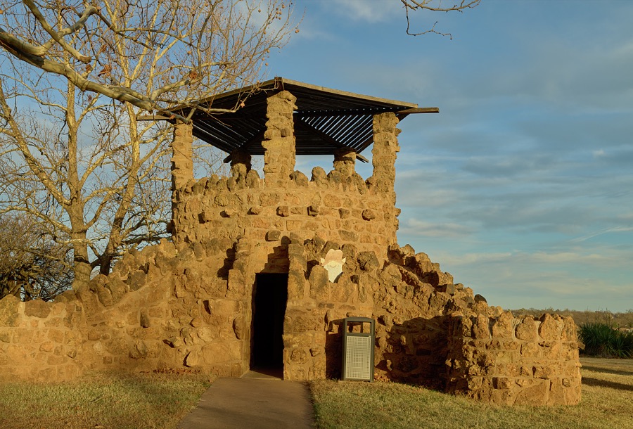
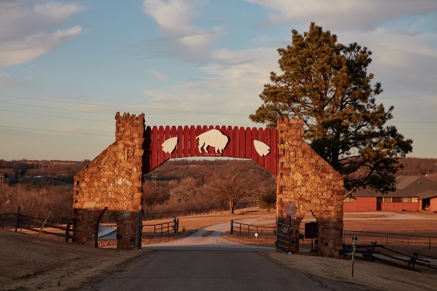
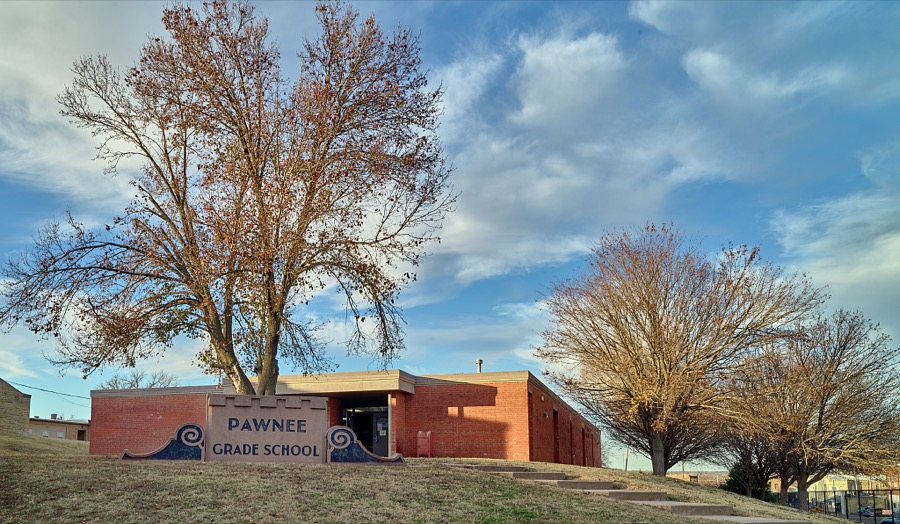
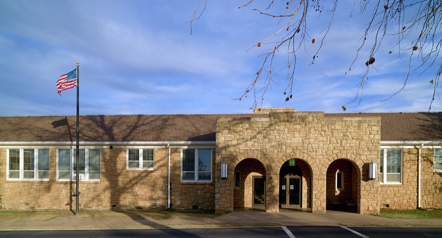
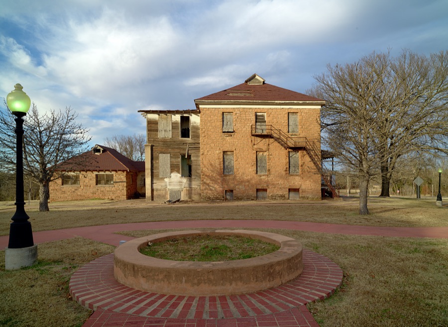
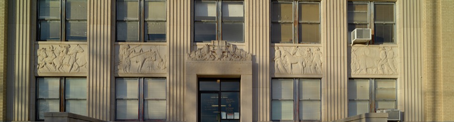
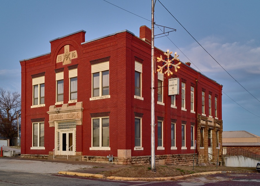
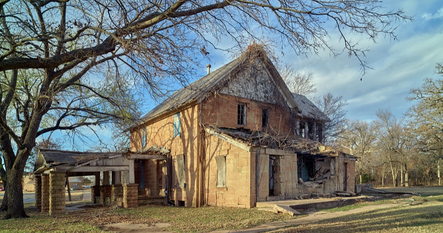
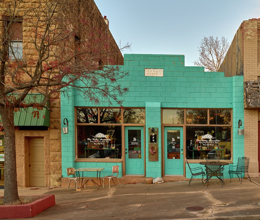
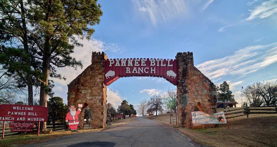
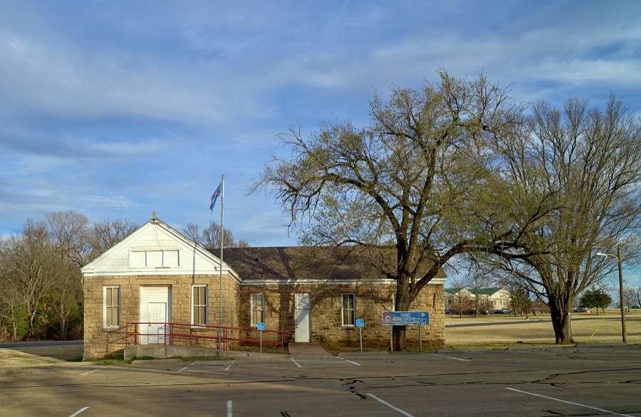
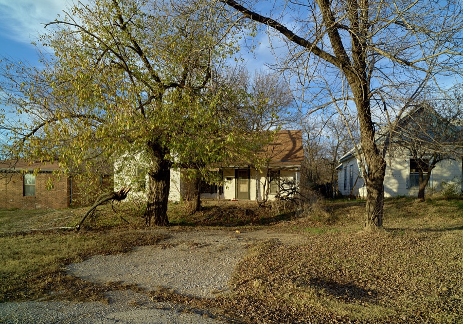
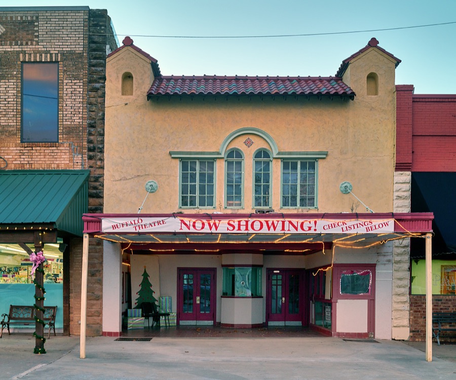
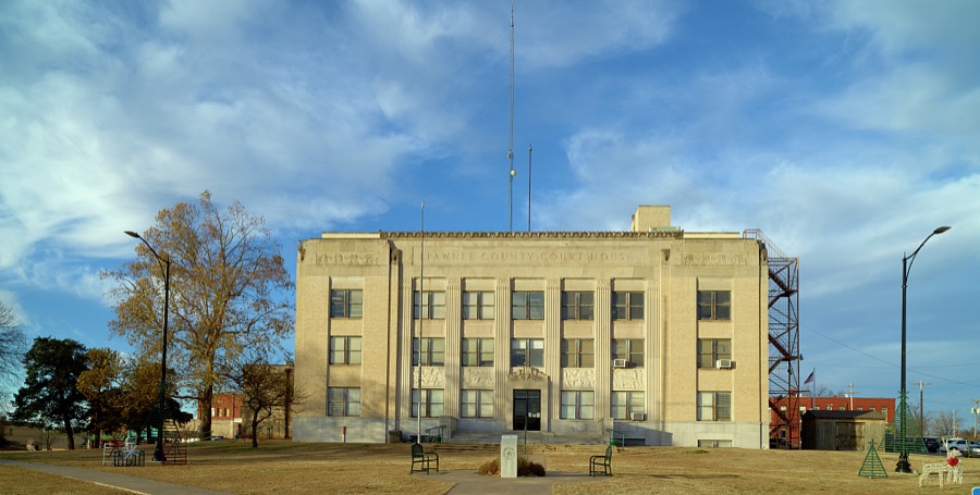

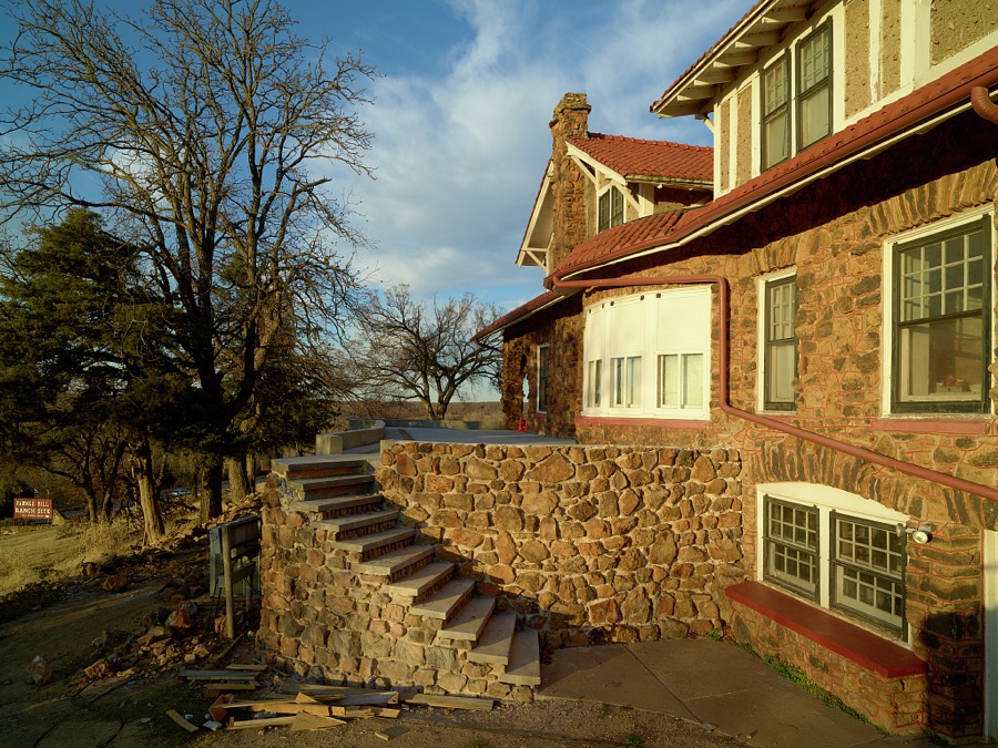
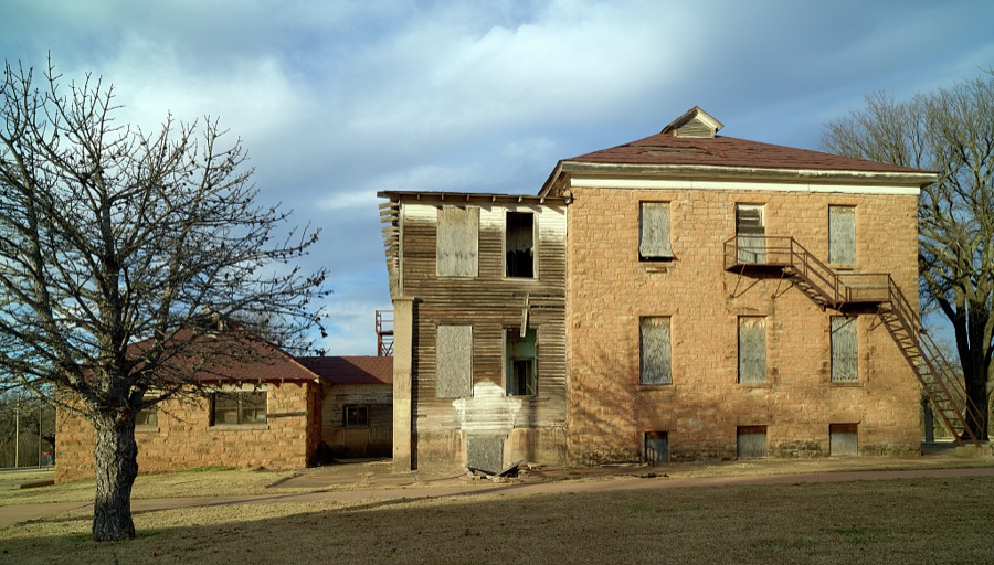
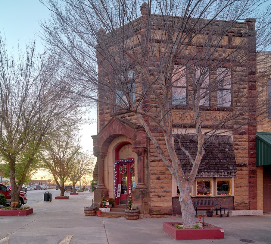
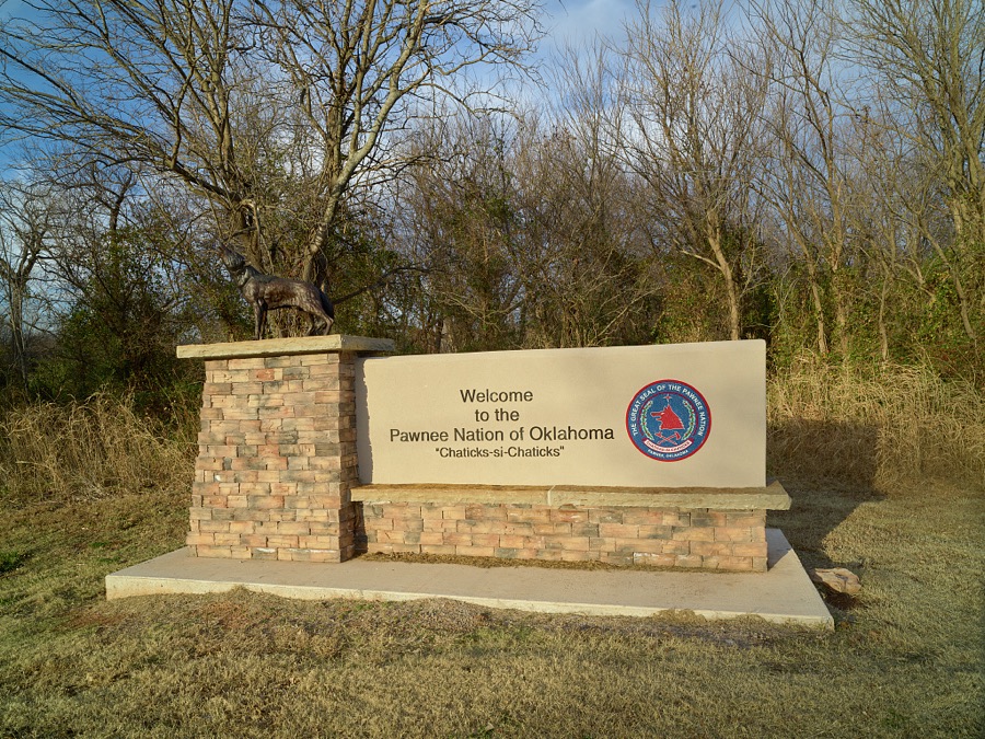
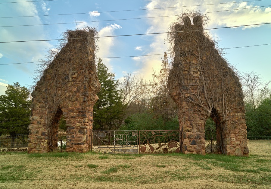
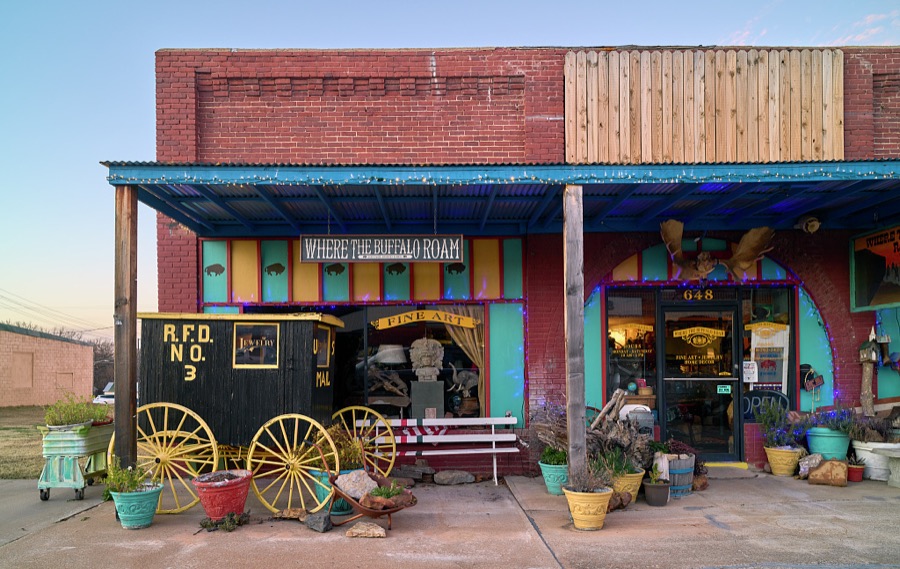
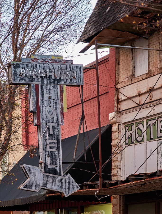

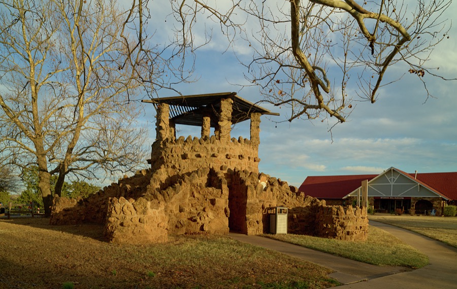
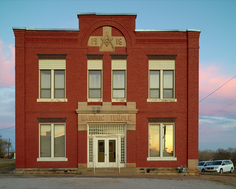
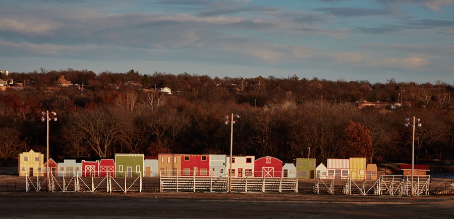
Every property in this county listed on the National Register of Historic Places, with the year it was listed and the federal nomination document.
| Photograph | Property | Type | Listed | Reference |
|---|---|---|---|---|
 | Arkansas Valley National Bank | building | 1978 | 78002256 |
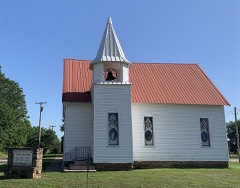 | Blackburn Methodist Church | building | 1984 | 84003398 |
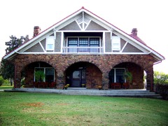 | Blue Hawk Peak Ranch | building | 1975 | 75001571 |
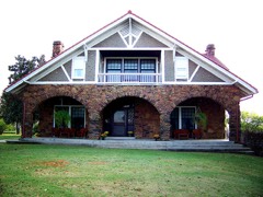 | Blue Hawk Peak Ranch (Boundary Increase) | district | 2014 | 14000428 |
| Corliss Steam Engine | structure | 1979 | 79002016 | |
| First State Bank of Maramec | building | 2007 | 07000514 | |
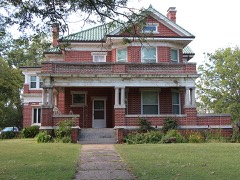 | Mullendore Mansion | building | 1984 | 84003402 |
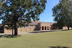 | Pawnee Agency and Boarding School Historic District | district | 2000 | 00001577 |
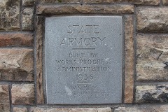 | Pawnee Armory | building | 1994 | 94000486 |
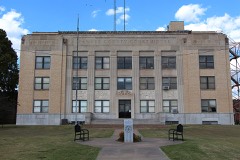 | Pawnee County Courthouse | building | 1984 | 84003406 |
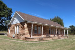 | Pawnee Indian Agency | building | 1973 | 73001567 |
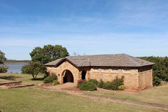 | Pawnee Municipal Swimming Pool and Bathhouse | district | 2003 | 03000873 |
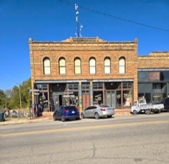 | Ralston Opera House | building | 1987 | 87001257 |
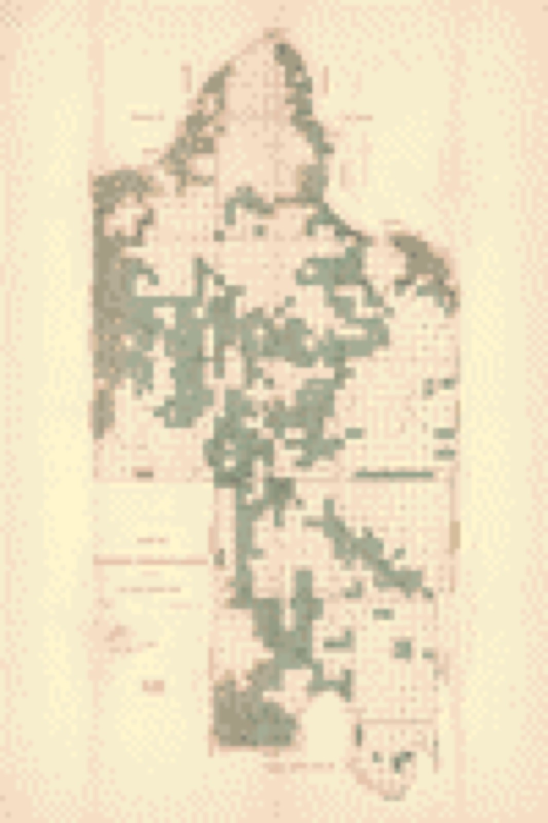
Drawn when these were printed as single large sheets: the town seen from the air, and the county divided into its farms with every owner named. Each opens the original at the Library of Congress.
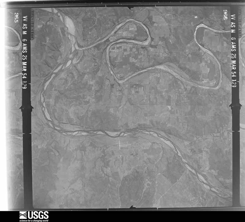
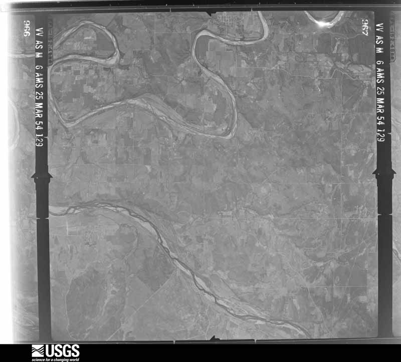
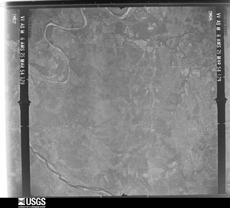
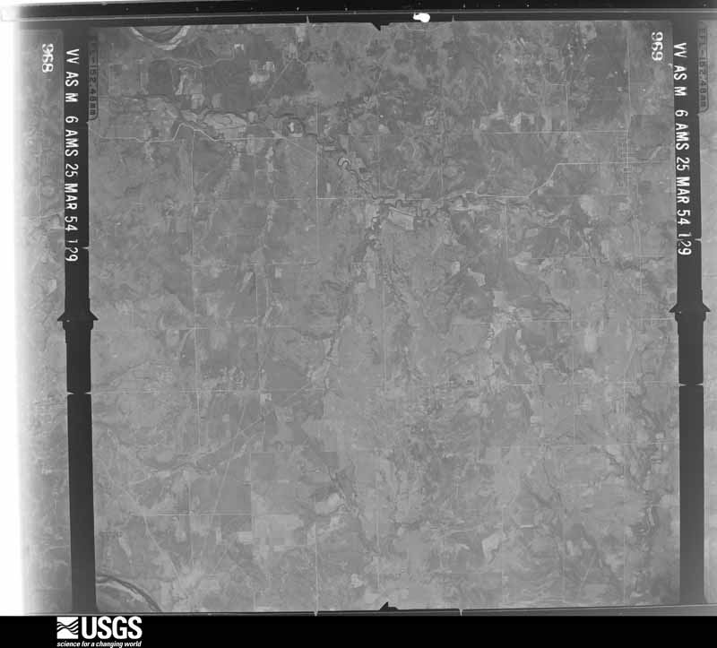
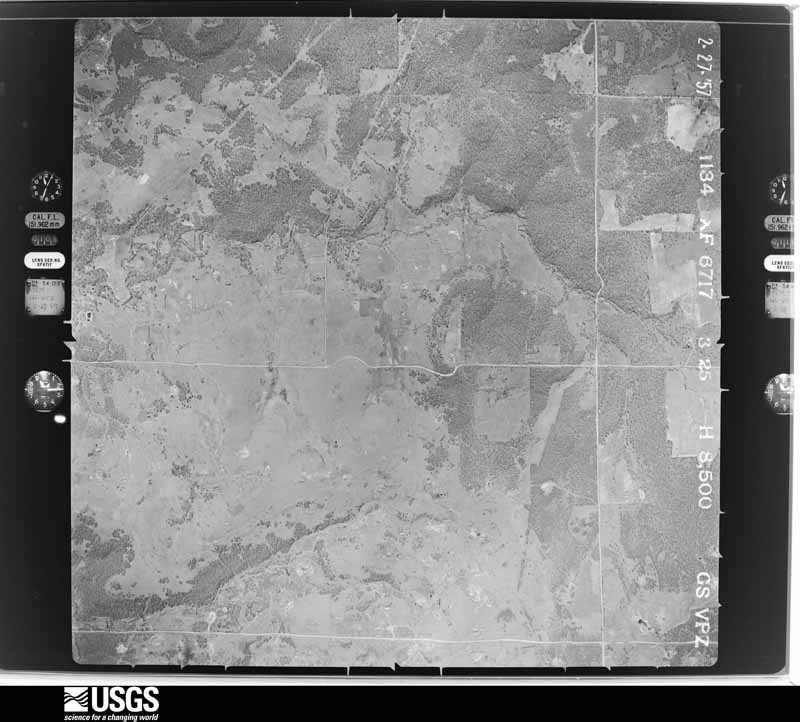
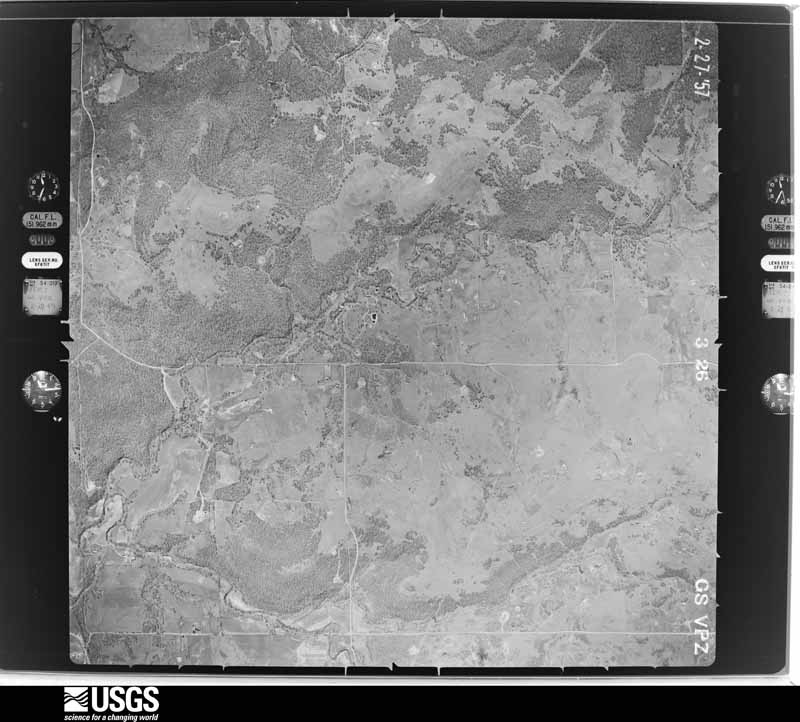
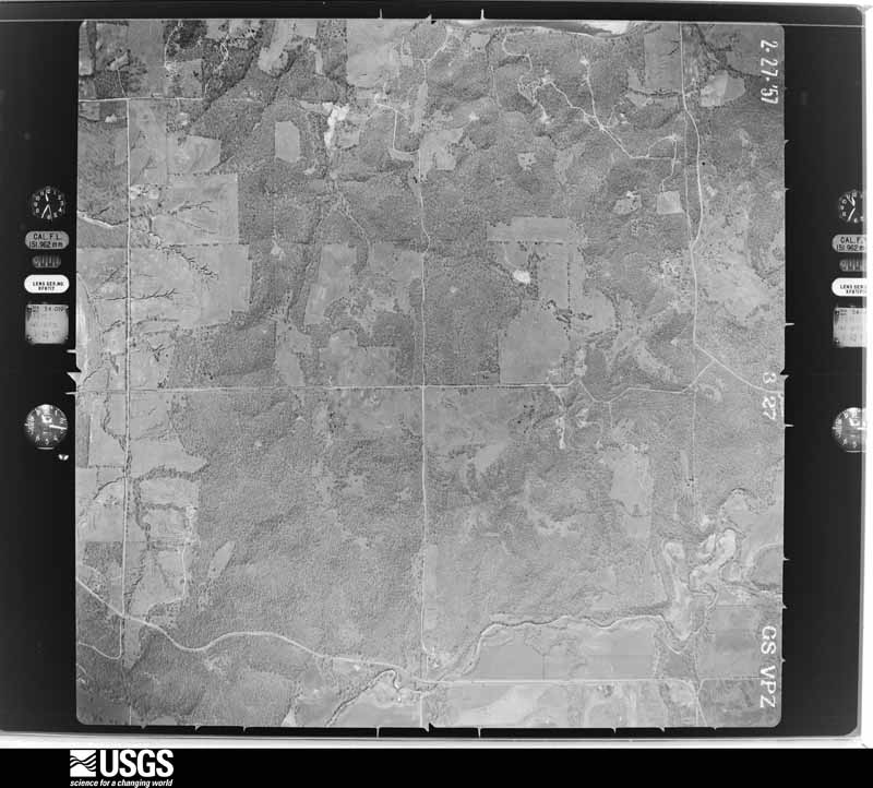
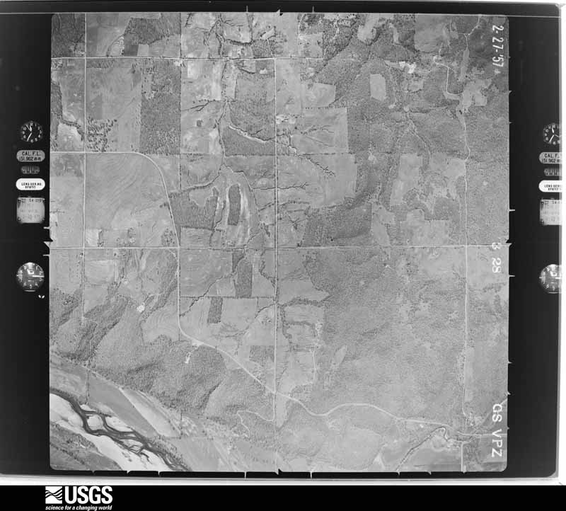
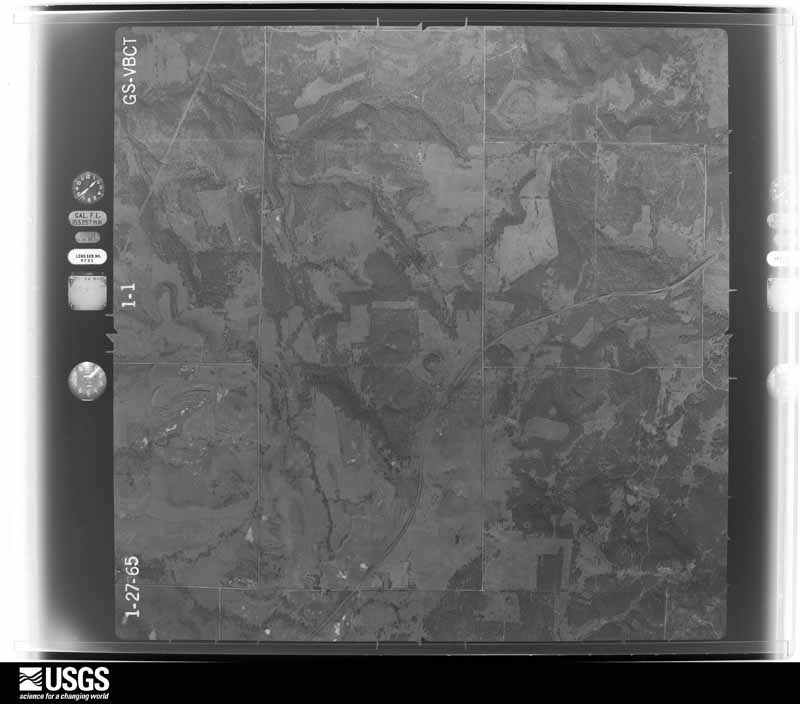
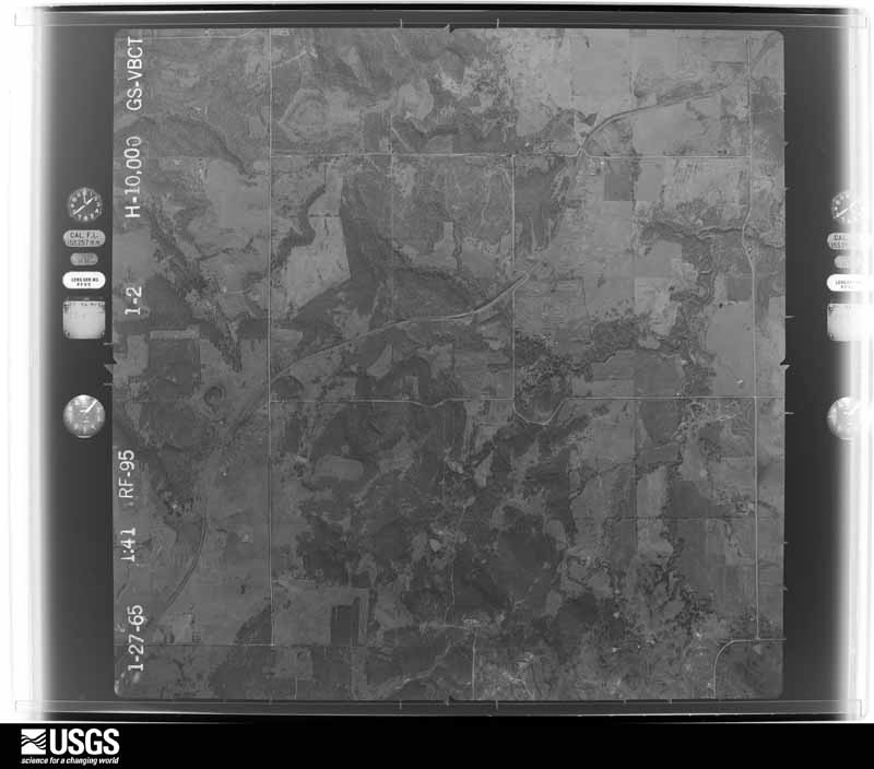
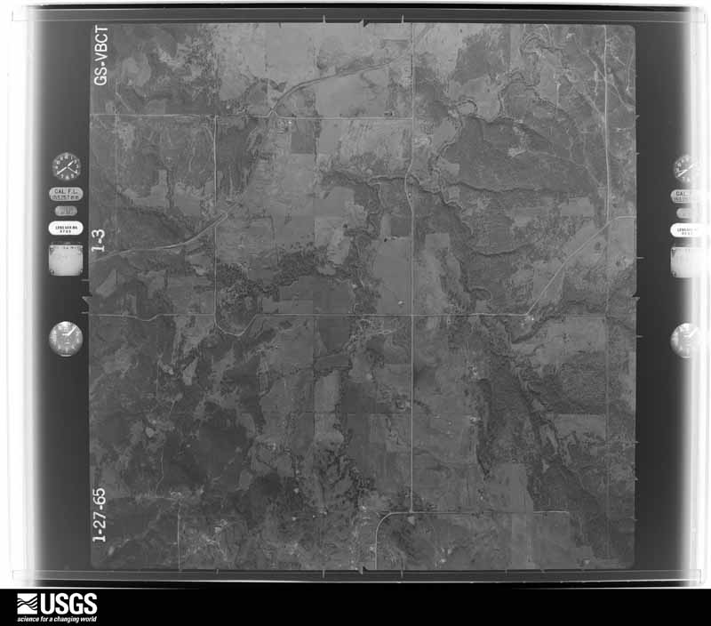
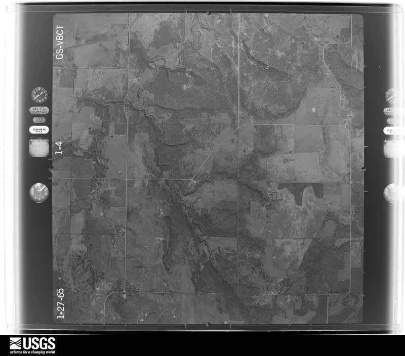
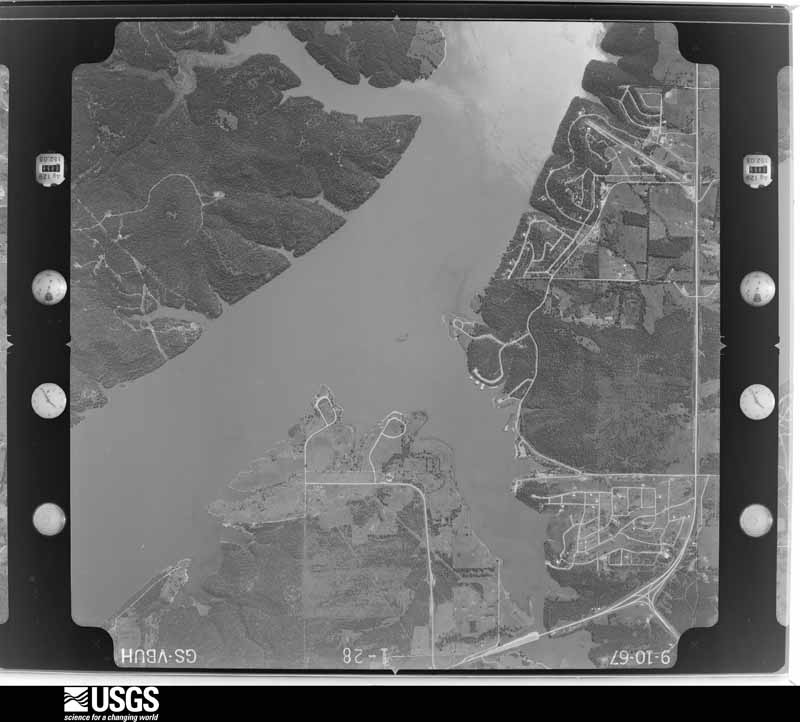
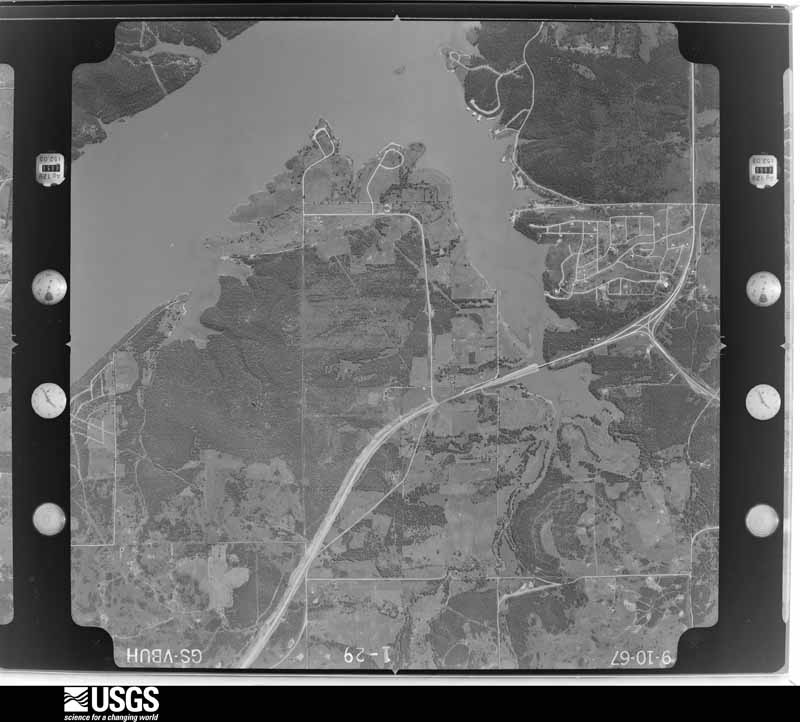
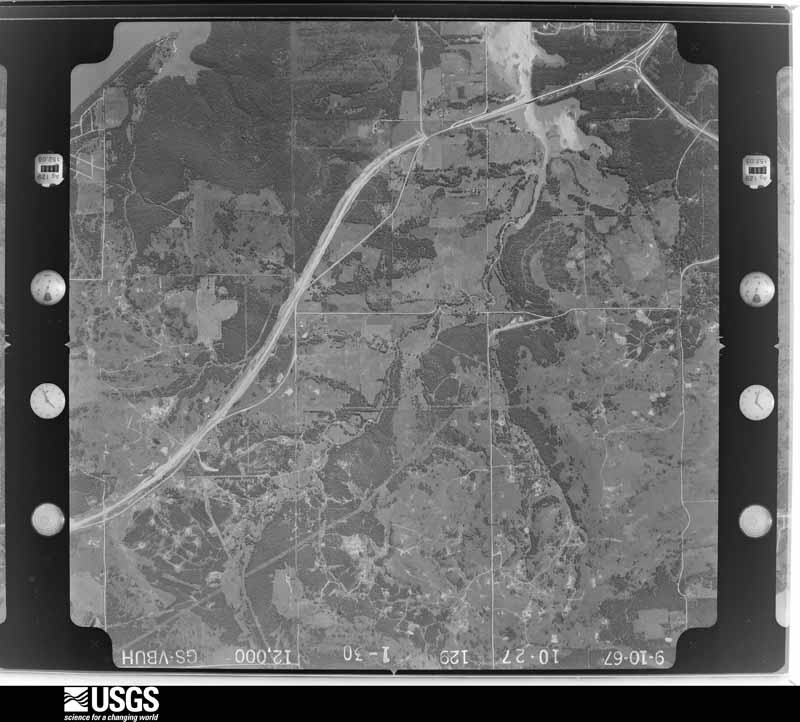
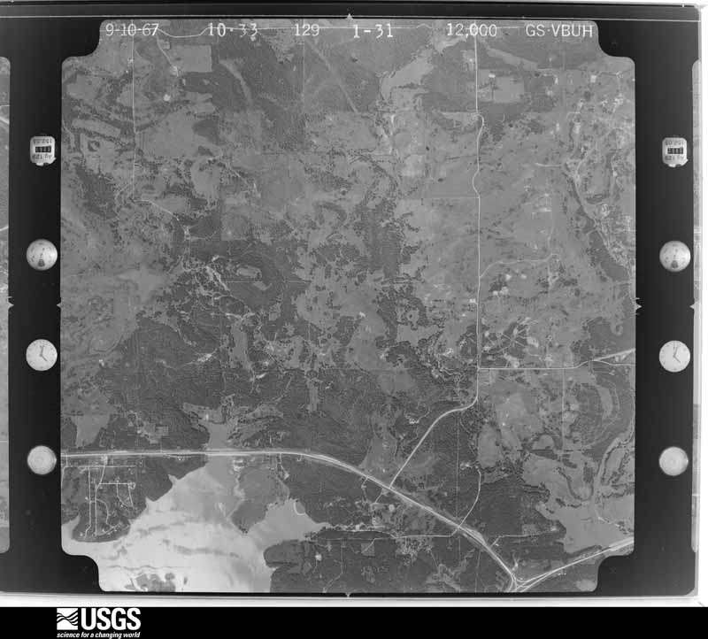
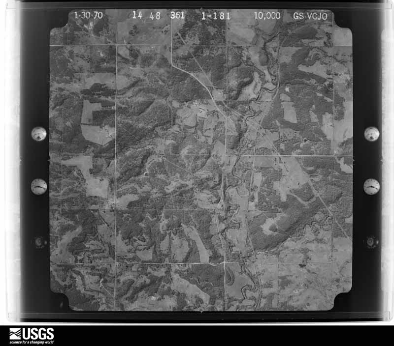
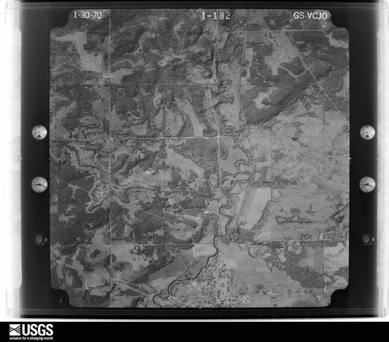
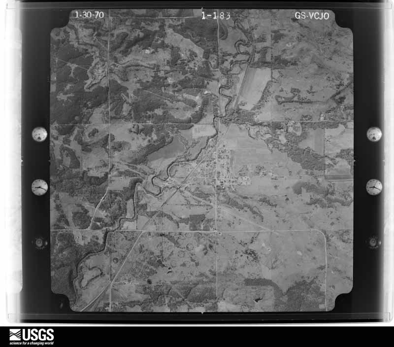
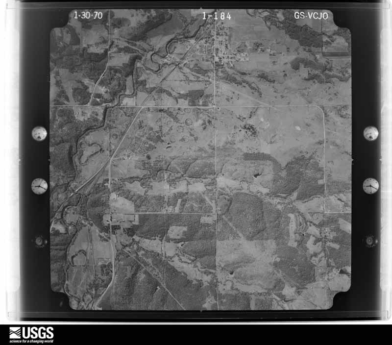
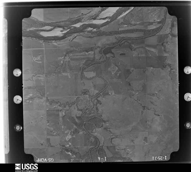
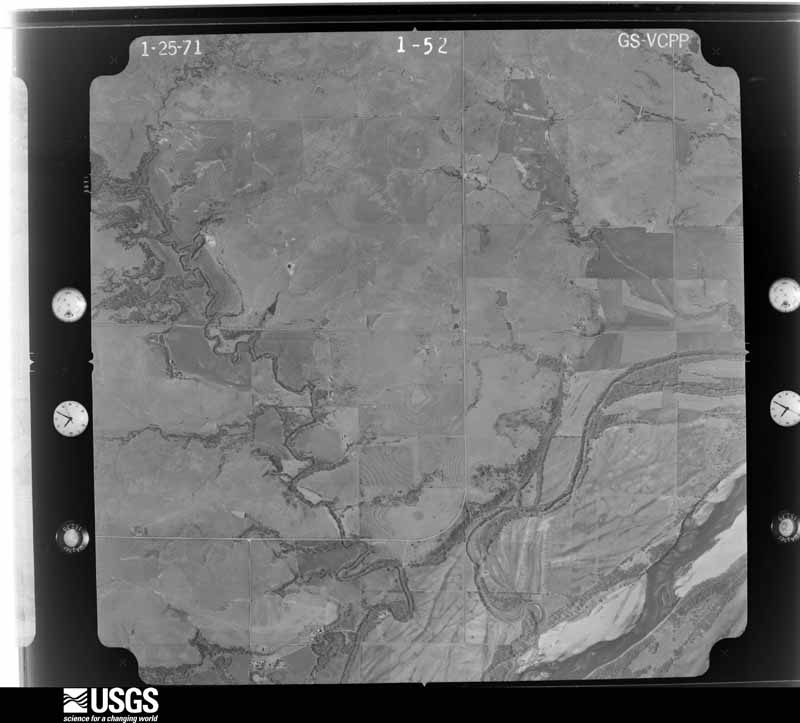
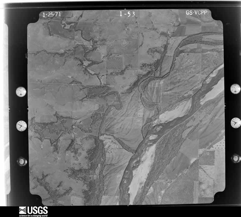
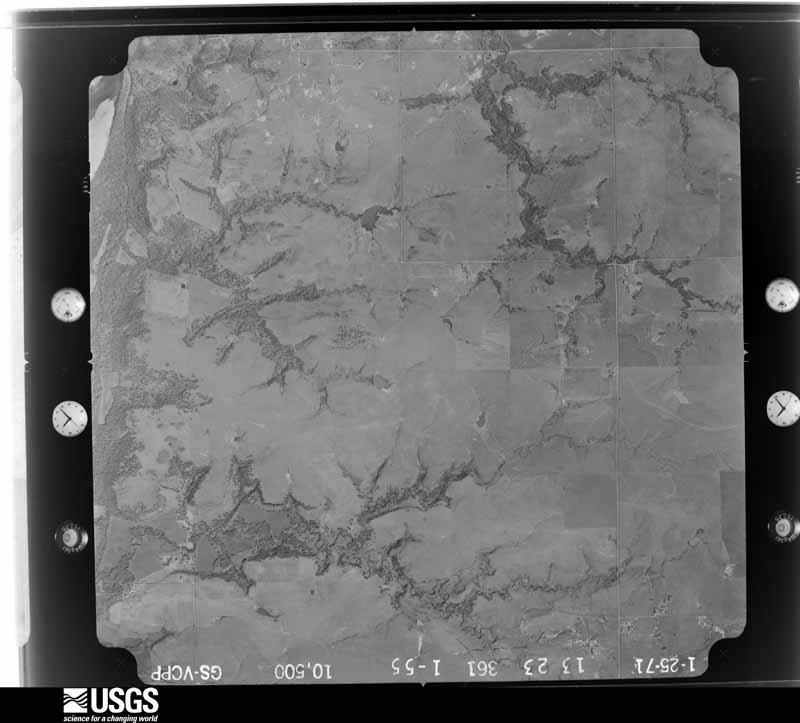
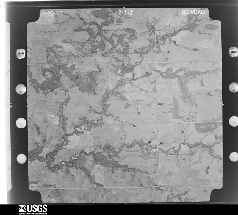
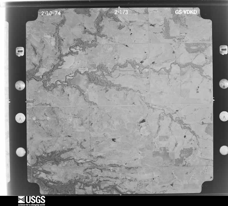
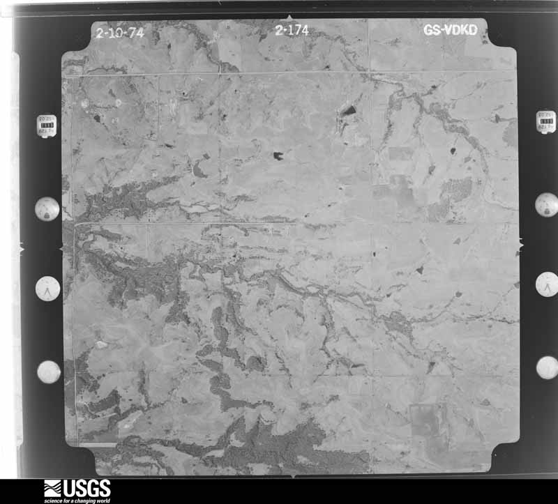
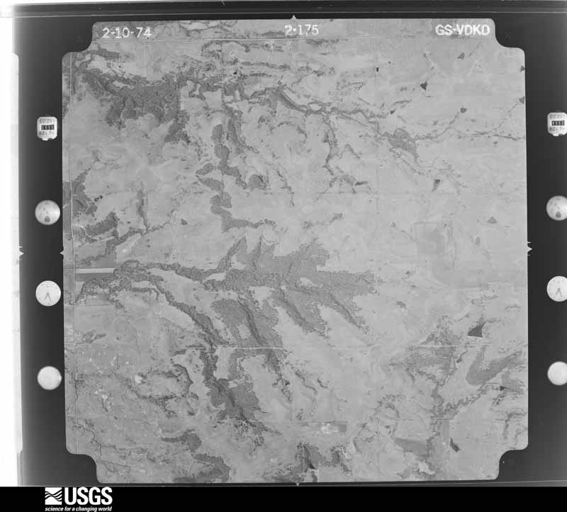
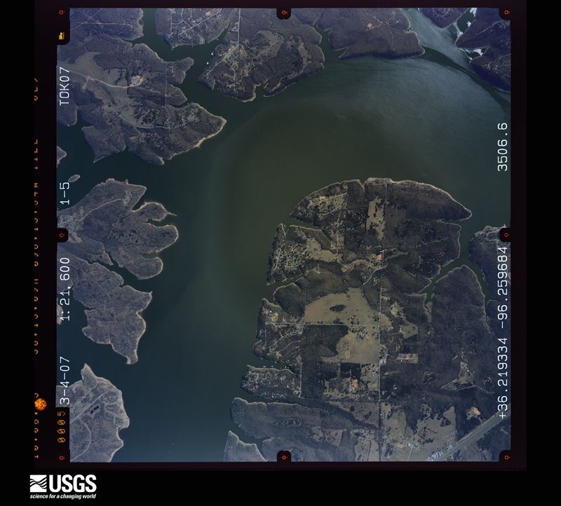
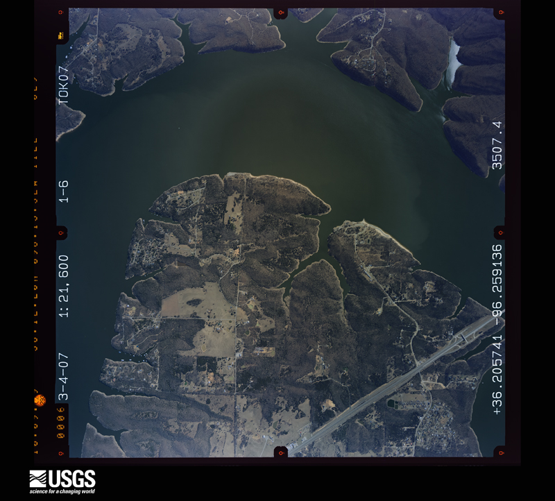
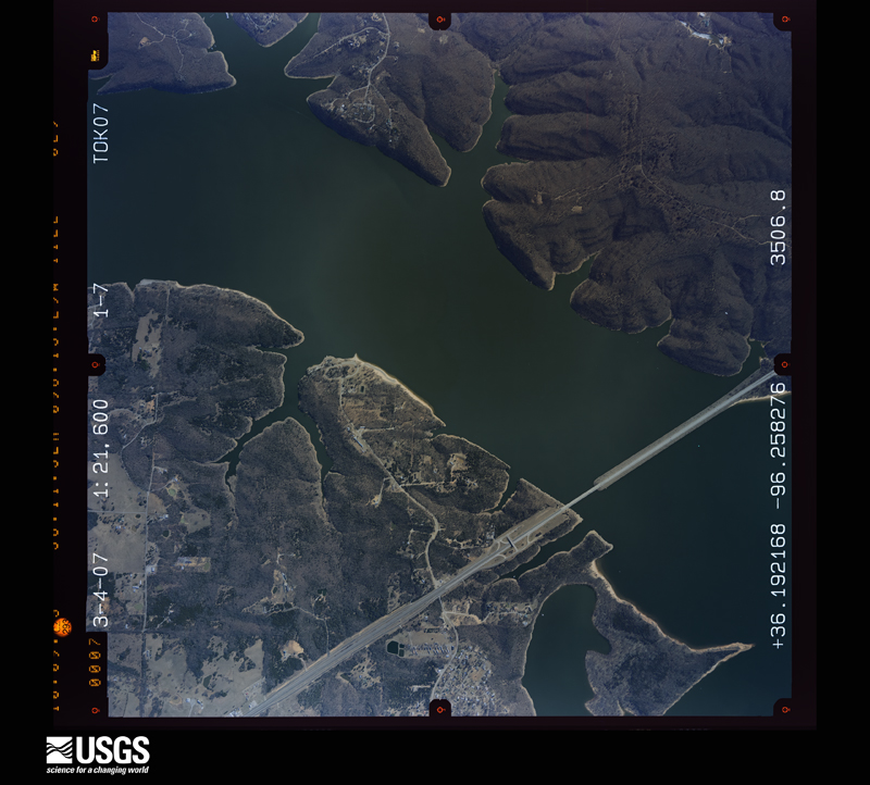
Flown by the U.S. Geological Survey between 1937 and 1989, the Aerial Photo Single Frames collection is the definitive mid-century view of the land: fields, roads and rivers as the camera saw them. The Survey holds 1,021 frames inside the rectangle that bounds this county; the 31 frames below were taken over the county itself, chosen across the decades of flights (at most four a year from that rectangle), so one flight cannot crowd out the rest. The full set is free to browse and download at EarthExplorer under the dataset Aerial Photo Single Frames.
The thermometers that kept this county's weather, and the gages that measured the flow of its streams, as the federal records hold them. The extremes below are measured values from those records, not estimates.
Who lived here in 1950, one enumeration district at a time, as the Census Bureau described each district. Each row opens its official National Archives result, with Population Schedules and ED Maps available there.
Every wildfire the federal occurrence database records inside this county: 121 of them, burning about 22,146 acres. 11 started naturally and 8 were recorded as arson. Each settlement page carries the fires within five miles of it.
| Reported cause | Fires |
|---|---|
| Missing data/not specified/undetermined | 66 |
| Debris and open burning | 22 |
| Natural | 11 |
| Equipment and vehicle use | 11 |
| Arson/incendiarism | 8 |
| Smoking | 1 |
| Power generation/transmission/distribution | 1 |
| Other causes | 1 |
The five largest, by the area the report gives. None of them was recorded as arson.
| Date | Cause | Size | Reported by | Name on the report |
|---|---|---|---|---|
| 6 August 2012 | Missing data/not specified/undetermined | 3,500 acres | Pawnee Agency | LAGOON CREEK |
| 18 February 2016 | Missing data/not specified/undetermined | 3,500 acres | Oklahoma Division of Forestry | PAWNEE COVE |
| 2 September 2000 | Missing data/not specified/undetermined | 1,800 acres | Oklahoma Division of Forestry | HALLETTT |
| 30 March 2014 | Missing data/not specified/undetermined | 1,602 acres | Oklahoma Division of Forestry | BATTLE RIDGE |
| 7 March 2006 | Missing data/not specified/undetermined | 1,600 acres | Pawnee Agency | SOONER LAKE |
| 11 March 2014 | Missing data/not specified/undetermined | 1,580 acres | Oklahoma Division of Forestry | QUAY |
| 12 March 2014 | Missing data/not specified/undetermined | 1,520 acres | Pawnee Agency | RUNNING COW |
| 7 September 2012 | Missing data/not specified/undetermined | 1,100 acres | Pawnee Agency | MASHAM |
Every settlement page carries the fires within five miles of it - see the settlement index below.
The NOAA Storm Events Database holds 592 reports for this county, causing 5 deaths, 68 injuries and about $63,767,560 in recorded property damage. Each settlement page carries the reports that name it.
| Kind of event | Reports |
|---|---|
| Hail | 277 |
| Thunderstorm Wind | 240 |
| Flash Flood | 35 |
| Tornado | 34 |
| Flood | 5 |
| Funnel Cloud | 1 |
The most serious of them, by death, then injury, then recorded damage. The accounts are quoted exactly as the forecast office filed them.
| When | Event | Place named | Harm | What the report says |
|---|---|---|---|---|
| April 1984 | Tornado (F4) | not stated | 3 killed, 37 hurt, $2,500,000 | no account filed |
| April 1991 | Tornado (F4) | not stated | 1 killed, 5 hurt, $2,500,000 | no account filed |
| September 2024 | Thunderstorm Wind | Pawnee Arpt | 1 killed, 2 hurt, $100,000 | Strong thunderstorm wind overturned multiple recreational vehicles (RV) at a campground on the east shore of Pawnee Lake. Two people were injured and a man was killed when the RV they were in overturned. |
| April 1984 | Tornado (F4) | not stated | 15 hurt, $25,000,000 | no account filed |
| April 1984 | Tornado (F4) | not stated | 5 hurt, $25,000,000 | no account filed |
| July 1995 | Thunderstorm Wind | Westport | 1 hurt, $2,000,000 | An isolated severe thunderstorm moved south from Kansas into Osage County during the evening of July 8th. The storm produced 60 mph winds at Burbank, where a few large tree limbs were blown down. The storm then weakened as it moved south into Pawnee County, but a dry microburst occurred at Westport. Winds estimated at greater than 100 mph resulted in severe damage at the Westport Marina. A large boat dock, with 43 people on the dock, was lifted over 50 feet in the air. There was one minor injury to a person on the dock, and 20 boats that were tied to the dock were damaged. Damage at the Westport Marina was estimated at around $2 million. Another dry microburst occurred to the east of the main storm in Washington County. Winds gusted to 62 mph in Dewey, where a mobile home was blown off its foundation and windows were blown out of a few homes and businesses. Windows were also blown out of a van on U.S. Highway 75 just south of Dewey. |
| April 1956 | Tornado (F2) | not stated | 1 hurt, $25,000 | no account filed |
| March 1959 | Tornado (F1) | not stated | 1 hurt, $250 | no account filed |
| May 1988 | Hail | not stated | 1 hurt | no account filed |
| April 1984 | Tornado (F4) | not stated | $2,500,000 | no account filed |
| October 1998 | Thunderstorm Wind | Pawnee | $1,050,000 | Strong winds (known as a rear flank downdraft) associated with a nearby F1 tornado blew the roof off of the high school auditorium, causing over $1 million in damage to the high school. Debris was scattered throughout the high school campus. An adjacent metal-style bus garage was also damaged. Many trees and power lines were downed or snapped by the winds throughout Pawnee. Specifically, several big oak trees were blown down at the Pawnee Agency, including one blown onto the pre-school. Near the Pawnee Municipal Hospital, large trees along Boulder Street were blown down, one falling onto a mobile unit. Tree damage was also reported in the Lusk Addition. A trailer home just northwest of Pawnee was scattered about by the storm, and a nearby cattle trailer was overturned. Damage from the wind and the tornado combined are nearly $2 million. For more information on the nearby tornado, see the separate preceding Tornado entry. |
| October 1998 | Tornado (F1) | Pawnee | $800,000 | A tornado briefly touched down in the southwest part of the city of Pawnee at 738 PM CDT near 6th Street and Ash. The tornado travelled northeast for 0.4 miles and had a width of 125 yards. Many trees were downed or snapped along the path with about fifty homes receiving minor roof, window, and porch damage. One mobile home was destroyed. Widespread wind damage also occurred in Pawnee due to strong winds in the vicinity of the tornado known as a "rear flank downdraft". The roof at the high school auditorium was blown off by the nearby winds. Damage from the tornado and the winds combined were nearly $2 million. (The official damage estimate in this entry does not include damages caused by the nearby winds.)Most of the tornado damage was F0. However, the tornado was rated F1 based on an estimate of the most intense winds reaching speeds near 85 mph. The tornado lifted before reaching US Hwy 64. However, an isolated home downstream of the tornado path and 2 miles from downtown Pawnee received F1 damage. The Pawnee mesonet site, located 3 miles ENE of Pawnee and 0.4 miles north of the house, measured wind gusts as high as 80 mph. (See the separate Thunderstorm Wind entry for more information on the mesonet observations.) The open prairie, the associated lack of tracers (wind-blown objects) near the mesonet site, and the isolated nature of the home make it impossible to determine if tornadic damage occurred at/near these locations. However, the tornado damage in Pawnee, the F1 damaged home, and the mesonet site are all aligned along the storm's motion. |
| May 2007 | Flash Flood | Ralston | $350,000 | The City of Pawnee received 3.25 inches of rain during the 24 hours ending 7 am CDT. This excessive rainfall caused substantial flooding of county roads, which resulted in major damage to several of them. Three bridges were also washed out. |
| March 2015 | Thunderstorm Wind | Cleveld Keystone Arp | $300,000 | Strong thunderstorm wind destroyed the marina and sunk several boats at the marina. |
| June 1970 | Tornado (F3) | not stated | $250,000 | no account filed |
| April 2008 | Flash Flood | Pawnee | $100,000 | Heavy rains flooded and damaged numerous secondary roads across Pawnee county. |
| May 2000 | Flash Flood | East Portion | $100,000 | Heavy rains during the early morning hours caused low lying areas in Cleveland to be flooded. Other low lying areas in eastern Pawnee county were also likely flooded with some damage to bridges and roads. |
| June 2023 | Thunderstorm Wind | Maramec | $70,000 | Thunderstorm wind resulted in at least $70,000 in debris removal and damage to the utility infrastructure across the county during this severe thunderstorm. |
| June 2025 | Flash Flood | Watchorn | $50,000 | Portions of the S 34000 Road were washed out due to flooding. |
| April 2016 | Tornado (EF1) | Appalachia | $50,000 | This is the first segment of a two segment tornado. In Pawnee County, this tornado snapped or uprooted numerous trees and damaged homes. A large tree fell onto two cars, destroying them. Based on this damage, maximum estimated wind in this segment of the tornado was 100 to 110 mph. |
| June 2004 | Thunderstorm Wind | Cleveland | $50,000 | Thunderstorm winds estimated at 80 miles an hour blew down trees and power lines. Roofs of businesses and homes were also damaged. |
| May 2008 | Hail | Pawnee | $50,000 | no account filed |
| February 2009 | Thunderstorm Wind | Pawnee | $40,000 | Thunderstorm winds estimated at 80 miles an hour overturned a single wide mobile home and did extensive damage to a double wide mobile home. |
| October 1998 | Flash Flood | East Portion | $38,000 | A park entrance was flooded. Water covered other roads, especially between Pawnee and Skedee. Several creeks rose out of their banks. Several rural roads were under water and closed near Pawnee. |
| November 2025 | Hail | Appalachia | $35,000 | Golf ball size hail damaged homes, businesses, and vehicles in Westport. |
| March 2009 | Tornado (EF0) | Pawnee | $30,000 | A tornado damaged a mobile home, destroyed a storage barn, and snapped large limbs off numerous trees. Maximum winds based on this damage were 70 to 80 mph. |
| February 2009 | Tornado (EF0) | Pawnee | $30,000 | A tornado destroyed a barn, damaged several homes, and blew down power poles. |
| May 2025 | Hail | Cleveland | $25,000 | Golf ball size hail damaged homes and vehicles. |
| October 2017 | Flash Flood | Terlton | $25,000 | A portion of a road was washed out near Terlton. |
| July 2016 | Flash Flood | Pawnee | $25,000 | Several streets in town were flooded, resulting in high water damaging the Pawnee Public Library. |
| June 2008 | Flash Flood | Terlton | $25,000 | Heavy rain caused flooding of secondary roads across the eastern part of Pawnee county. In addition Highway 412 was damaged at the intersection of Old Keystone Road causing emergency repairs to be made. |
| March 2004 | Flash Flood | Countywide | $25,000 | Heavy thunderstorm rains caused flooding of numerous county roads. At least one road was heavily damaged. Total rainfall for the day at Ralston was 4.55 inches. |
| March 2008 | Hail | Pawnee | $25,000 | no account filed |
| April 1983 | Tornado (F2) | not stated | $25,000 | no account filed |
| April 1971 | Tornado (F0) | not stated | $25,000 | no account filed |
| May 1971 | Tornado (F1) | not stated | $25,000 | no account filed |
| May 1954 | Tornado (F2) | not stated | $25,000 | no account filed |
| November 2025 | Hail | Cleveld Keystone Arp | $20,000 | Half dollar size hail damaged homes and vehicles in Westport. |
| September 2024 | Hail | Maramec | $20,000 | Golf ball size hail damaged homes and vehicles. |
| May 2021 | Hail | Pawnee | $20,000 | Ping pong ball size hail damaged vehicles and homes. |
| May 2008 | Tornado (EF1) | Skedee | $20,000 | A tornado caused structural damage to the roof of a home, resulted in extensive damage to trees, and blew down several power poles. This tornado was observed by several storm chasers. |
| May 2016 | Hail | Pawnee | $20,000 | no account filed |
| March 2015 | Hail | Jennings | $20,000 | no account filed |
| April 2011 | Hail | Pawnee | $20,000 | no account filed |
| March 1997 | Thunderstorm Wind | Terlton | $20,000 | no account filed |
| May 2025 | Hail | Cleveland | $15,000 | Ping pong ball size hail damaged homes and vehicles. |
| September 2024 | Thunderstorm Wind | Maramec | $15,000 | Strong thunderstorm wind blew much of the roof off of an outbuilding. |
| June 2021 | Flash Flood | Hallett | $15,000 | Several county roads were reported flooded. Portions of Cimmaron Ranch Road were washed out. |
| April 2020 | Hail | Pawnee | $15,000 | Ping pong ball size hail damaged vehicles and the roofs of homes. |
| April 2019 | Thunderstorm Wind | Pawnee | $15,000 | Strong thunderstorm wind damaged the roof of a home, uprooted several trees, and blew windows out of two vehicles. |
| April 2016 | Thunderstorm Wind | Cleveland | $15,000 | Strong thunderstorm wind snapped large tree limbs, and damaged the roofs of homes. |
| April 1999 | Thunderstorm Wind | Cleveland | $15,000 | Winds estimated as high as 70 mph destroyed a car port, damaged a motel awning, uprooted trees, blew a hole through the middle school's gym roof, and knocked down numerous tree limbs. |
| June 1999 | Flash Flood | Pawnee | $15,000 | The county road which is an extension of 4th Street in Pawnee had a gaping hole after a flash flood washed the road out. The creek that caused this damage flows into Camp Creek. |
| March 2015 | Hail | Cleveland | $15,000 | no account filed |
| April 2014 | Hail | Cleveld Keystone Arp | $15,000 | no account filed |
| March 2008 | Hail | Pawnee | $15,000 | no account filed |
| April 1999 | Thunderstorm Wind | Hallett | $13,000 | Winds estimated near 75 mph blew down trees, power lines and highway signs in and near Hallett. A roof was blown off of a home east of Hallett. |
| May 2019 | Thunderstorm Wind | Cleveland | $10,000 | Strong thunderstorm wind uprooted and snapped trees, and blew off a portion of the roof of a home. |
| May 2011 | Thunderstorm Wind | Cleveland | $10,000 | Strong thunderstorm wind blew down trees and power lines. |
| May 2003 | Thunderstorm Wind | Cleveland | $10,000 | Thunderstorm winds estimated at 70 miles an hour blew down trees. One tree damaged the roof of a home. |
The Survey's mineral resources record lists 44 workings inside this county. 8 still produce and 36 are closed or unrecorded. Each settlement page carries the workings within five miles of it.
| Commodity | Workings |
|---|---|
| Stone, Crushed/Broken | 24 |
| Copper | 11 |
| Silver | 8 |
| Flagstone | 4 |
| Sand and Gravel, Construction | 4 |
| Chromium, Vanadium, Cobalt, Molybdenum, Lead | 1 |
| Lead, Vanadium, Zirconium, Chromium, Cobalt, Molybdenum, Nickel | 1 |
| Chromium, Zirconium, Lead, Vanadium, Molybdenum, Cobalt | 1 |
| Cobalt, Chromium, Molybdenum, Lead, Vanadium, Zirconium | 1 |
| Chromium, Molybdenum, Lead, Vanadium, Zirconium, Cobalt | 1 |
| Clay | 1 |
The least common of them first, because a county's hundredth gravel pit says nothing its first ten did not.
| Where | Site | Commodity | Status | Recorded |
|---|---|---|---|---|
| Lela North-1 | Copper, Silver, Chromium, Molybdenum, Lead, Vanadium, Zirconium, Cobalt | Past Producer | 1936 | |
| Lela North-2 | Copper, Silver, Chromium, Zirconium, Lead, Vanadium, Molybdenum, Cobalt | Past Producer | 1935 | |
| Lela North-3 | Copper, Silver, Lead, Vanadium, Zirconium, Chromium, Cobalt, Molybdenum, Nickel | Past Producer | 1935 | |
| Lela North-5 | Copper, Silver, Cobalt, Chromium, Molybdenum, Lead, Vanadium, Zirconium | Occurrence | 1945 | |
| Morrison North-2 | Copper, Silver, Chromium, Vanadium, Cobalt, Molybdenum, Lead | Occurrence | 1936 | |
| Unknown Shale Pit | Clay | Past Producer | ||
| Davis Dredge & Sand Operation | Sand and Gravel, Construction | Producer | ||
| Ralston Pit | Sand and Gravel, Construction | Producer | ||
| Renfro Plant | Sand and Gravel, Construction | Producer | ||
| Unknown Gravel Pit | Sand and Gravel, Construction | Past Producer | ||
| Unknown Sandstone Quarry | Flagstone | Past Producer | ||
| Unknown Sandstone Quarry | Flagstone | Past Producer | ||
| Unknown Sandstone Quarry | Flagstone | Past Producer | ||
| Unknown Sandstone Quarry | Flagstone | Past Producer | ||
| Morrison North-1 | Copper, Silver | Occurrence | 1975 | |
| Quay North | Copper, Silver | Occurrence | 1975 | |
| Skedee-1 | Copper, Silver | Occurrence | 1975 | |
| Lela North-4 | Copper | Occurrence | 1956 | |
| Lela Northeast-1 | Copper | Occurrence | 1975 | |
| Lela Southeast-1 | Copper | Occurrence | 1975 | |
| Brensing Quarry | Stone, Crushed/Broken | Producer | ||
| County Limestone Quarry | Stone, Crushed/Broken | Past Producer | ||
| County Limestone Quarry | Stone, Crushed/Broken | Producer | ||
| County Limestone Quarry | Stone, Crushed/Broken | Past Producer | ||
| Pawnee Quarry | Stone, Crushed/Broken | Past Producer | ||
| Stewart Rock Co Limestone Quarry | Stone, Crushed/Broken | Producer | ||
| Stewart Rock Co Limestone Quarry | Stone, Crushed/Broken | Producer | ||
| Stewart Rock Co Limestone Quarry #2 | Stone, Crushed/Broken | Producer | ||
| Unknown Limestone Quarry | Stone, Crushed/Broken | Past Producer | ||
| Unknown Limestone Quarry | Stone, Crushed/Broken | Past Producer | ||
| Unknown Limestone Quarry | Stone, Crushed/Broken | Past Producer | ||
| Unknown Limestone Quarry | Stone, Crushed/Broken | Past Producer | ||
| Unknown Limestone Quarry | Stone, Crushed/Broken | Past Producer | ||
| Unknown Limestone Quarry | Stone, Crushed/Broken | Past Producer | ||
| Unknown Limestone Quarry | Stone, Crushed/Broken | Past Producer | ||
| Unknown Limestone Quarry | Stone, Crushed/Broken | Past Producer | ||
| Unknown Limestone Quarry | Stone, Crushed/Broken | Past Producer | ||
| Unknown Limestone Quarry | Stone, Crushed/Broken | Past Producer | ||
| Unknown Limestone Quarry | Stone, Crushed/Broken | Past Producer | ||
| Unknown Limestone Quarry | Stone, Crushed/Broken | Past Producer | ||
| Unknown Limestone Quarry | Stone, Crushed/Broken | Past Producer | ||
| Unknown Limestone Quarry | Stone, Crushed/Broken | Past Producer | ||
| Unknown Limestone Quarry | Stone, Crushed/Broken | Past Producer | ||
| Unknown Limestone Quarry | Stone, Crushed/Broken | Past Producer |
Named settlements recorded in the Geographic Names Information System, each with the topographic sheets covering it. Villages, hamlets and abandoned places alike. Each is shown with the nearest named watercourse or landform and the survey quadrangle it falls on. The 5 places that were also surveyed for fire insurance come first, with the number of atlases and photographs held for them.
Cleveland census division · 74020 · On Cedar Creek · Cleveland quadrangle
14 sheets, 1912 to 1990
Fire insurance: 8 atlases
Cleveland census division · 74034 · Jennings quadrangle
12 sheets, 1929 to 1990
Fire insurance: 3 atlases
Cleveland census division · 74038 · Jennings quadrangle
12 sheets, 1929 to 1990
Fire insurance: 2 atlases
Pawnee census division · 74058 · On Skedee Creek · Pawnee quadrangle
11 sheets, 1930 to 1990
Fire insurance: 9 atlases
Pawnee census division · 74650 · On Eagle Creek · Fairfax quadrangle
13 sheets, 1932 to 1985
Fire insurance: 5 atlases
Pawnee census division · 74058 · On Harper Creek · Blackburn quadrangle
13 sheets, 1929 to 1990
Cleveland census division · 74020 · Near Bears Glen · Keystone Dam quadrangle
14 sheets, 1912 to 1990
Pawnee census division · 74058 · On Camp Creek · Casey quadrangle
12 sheets, 1929 to 1990
Cleveland census division · 74020 · Near Bears Glen · Keystone Dam quadrangle
14 sheets, 1912 to 1990
Cleveland census division · 74020 · Near Bears Glen · Keystone Dam quadrangle
14 sheets, 1912 to 1990
Cleveland census division · 74020 · Near Bears Glen · Keystone Dam quadrangle
14 sheets, 1912 to 1990
11 topographic sheets and 9 fire insurance atlases, 1895 to 1931
14 topographic sheets and 8 fire insurance atlases, 1898 to 1940
13 topographic sheets and 5 fire insurance atlases, 1903 to 1924
12 topographic sheets and 3 fire insurance atlases, 1911 to 1924