 Block
Pawnee, Oklahoma
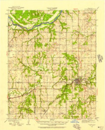
11 topographic sheets cover this place, the earliest surveyed in 1930 and the latest in 1990. It stands in the Pawnee census division. It lies in ZIP code area 74058. It stands on Skedee Creek. The Survey maps it on the Pawnee quadrangle. 1,936 people lived here at the 2020 count. It stands 869 feet above sea level.
Research this city
On record in Pawnee
Buildings and businesses the archive holds for this place. Each opens its own page, with the source record it came from.
On the National Register 9 records
 Arkansas Valley National Banklisted 1978
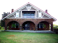 Blue Hawk Peak Ranchlisted 1975
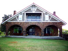 Blue Hawk Peak Ranch (Boundary Increase)listed 2014
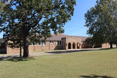 Pawnee Agency and Boarding School Historic Districtlisted 2000
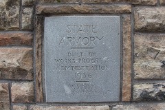 Pawnee Armorylisted 1994
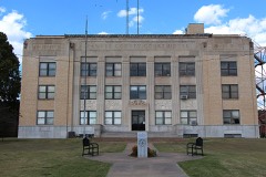 Pawnee County Courthouselisted 1984
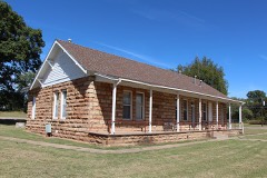 Pawnee Indian Agencylisted 1973
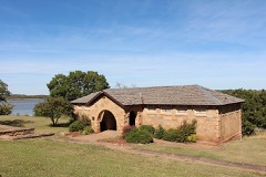 Pawnee Municipal Swimming Pool and Bathhouselisted 2003
- Corliss Steam Enginelisted 1979
Population over time
2 figuresPawnee fell from 2,196 to 1,936 between 2010 and 2020. These are the recorded population figures Wikidata holds for this place, reached through the Geographic Names Information System number this page is keyed on rather than by name, so they belong to this place and not to another of the same name. Most are census counts, but not all are: an early figure may be a founding or settlement estimate, and an estimate published within five years of a census is left out. The change column is computed, and is left blank where more than 20 years separate a figure from the one before it, because a gap that long is not a change between two counts.
| Year | People | Change |
|---|---|---|
| 2010 | 2,196 | |
| 2020 | 1,936 | -260 (-12%) |
Topographic sheets covering this place
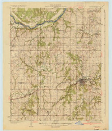
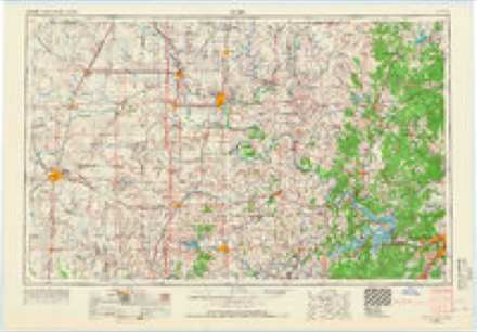
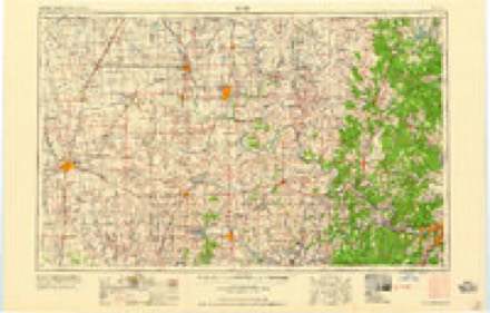
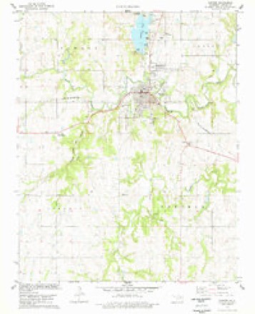
6 surveys from 11 printed sheetsMatched by testing this settlement's coordinate against the published boundary of every sheet in the United States Geological Survey's historical collection. Each opens the scanned sheet at the Survey.
- 1930 USGS Pawnee quadrangle1:62500
- 1936 USGS Pawnee quadrangle1:62500, 2 printings
- 1955 USGS Enid quadrangle1:250000, 4 printings
- 1958 USGS Enid quadrangle1:250000, 2 printings
- 1978 USGS Pawnee quadrangle1:24000
- 1990 USGS Keystone Lake quadrangle1:100000
Photographs
8 of 26 photographs shown, 2020Taken for the Office of War Information and the Farm Security Administration, who photographed the country between 1935 and 1944. Works of United States government photographers, with no known restriction on use. Each opens its catalogue record.
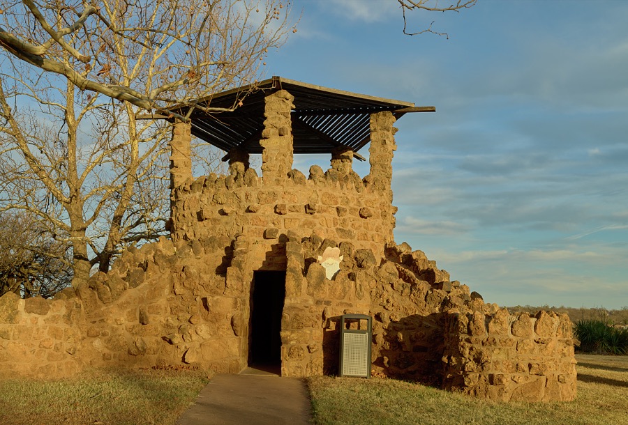
Highsmith, Carol M, 2020. Library of Congress
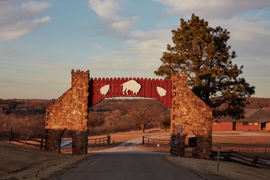
Highsmith, Carol M, 2020. Library of Congress
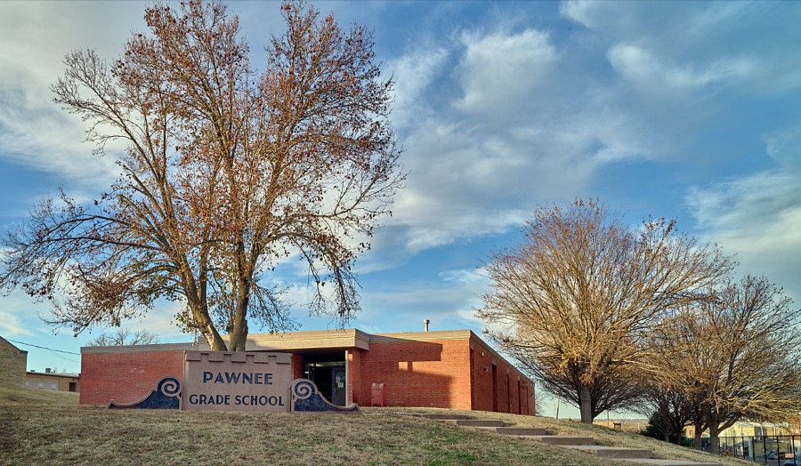
Highsmith, Carol M, 2020. Library of Congress
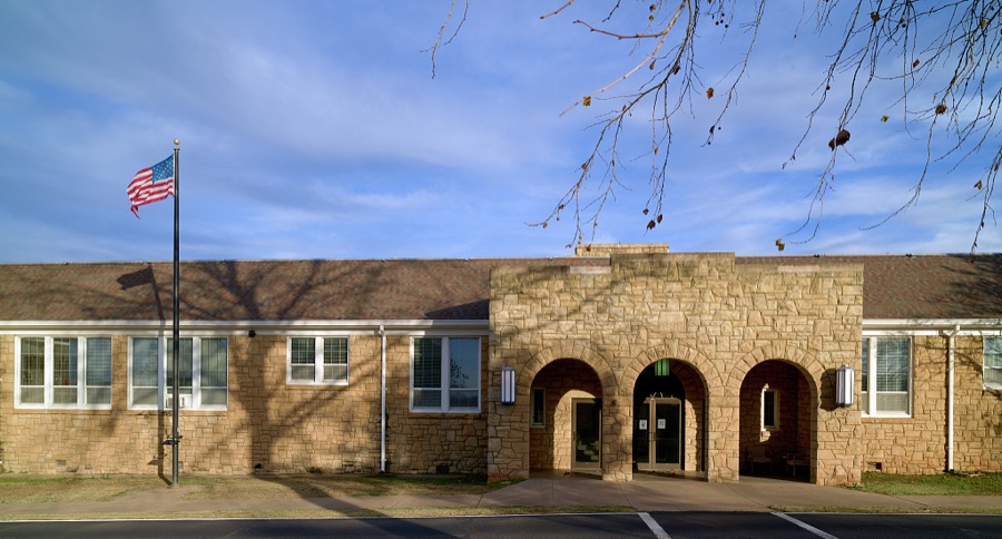
Highsmith, Carol M, 2020. Library of Congress
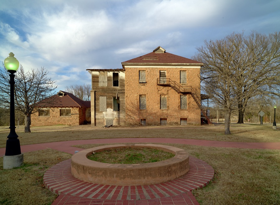
Highsmith, Carol M, 2020. Library of Congress
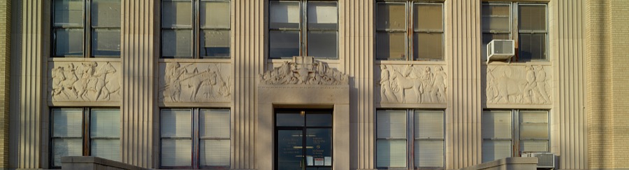
Highsmith, Carol M, 2020. Library of Congress
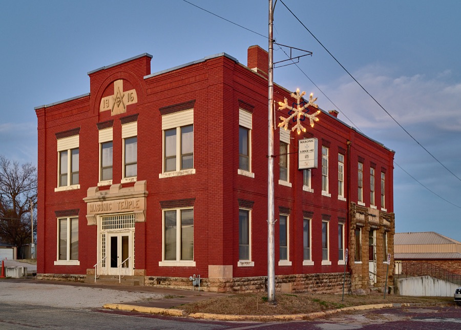
Highsmith, Carol M, 2020. Library of Congress
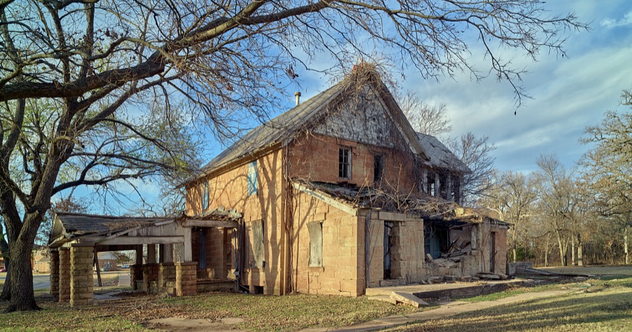
Highsmith, Carol M, 2020. Library of Congress
Every photograph of Pawnee County
Fires near this place
32 since 2000Regional context, not property-specific evidence. The federal wildfire occurrence database lists 32 fires within 5 miles of Pawnee between 2000 and 2020, burning about 1,570 acres in total. 3 started naturally. 2 were recorded as arson. Distance is straight-line from the map coordinates, so a fire counted here may appear on a neighbouring settlement's page as well.
| Reported cause | Fires |
|---|---|
| Missing data/not specified/undetermined | 14 |
| Debris and open burning | 9 |
| Equipment and vehicle use | 3 |
| Natural | 3 |
| Arson/incendiarism | 2 |
| Power generation/transmission/distribution | 1 |
The most recent of them, most recent first, with the day each was reported and the service that recorded it.
| Date | Cause | Size | Reported by | Name on the report |
|---|---|---|---|---|
| 17 September 2000 | Missing data/not specified/undetermined | 600 acres | Oklahoma Division of Forestry | CEMENT PLANT |
| 1 September 2006 | Natural | 1.0 acres | Pawnee Agency | CEMENT TRUCK |
| 30 August 2006 | Debris and open burning | 4.0 acres | Pawnee Agency | WHITE FIRE |
| 16 August 2006 | Missing data/not specified/undetermined | 1.0 acres | Pawnee Agency | HORSE STABLE |
| 31 July 2006 | Missing data/not specified/undetermined | 140 acres | Pawnee Agency | PAWNEE CITY |
| 17 July 2006 | Debris and open burning | 2.0 acres | Pawnee Agency | SIDNEY |
| 30 May 2012 | Debris and open burning | under an acre | Pawnee Agency | PAWNEE COMPLEX |
| 15 May 2012 | Debris and open burning | under an acre | Pawnee Agency | WILLIAMS |
Settlements close enough to share some of these fires:
Mines and quarries near this place
2 within 5 milesRegional context, not property-specific evidence. The federal mineral resources record lists 2 workings within 5 miles of Pawnee: 2 past producers. None of them still produces. What was taken out: Flagstone. Distance is straight-line from the map coordinates, so a quarry counted here may appear on a neighbouring settlement's page as well.
| Where | Site | Commodity | Status | Recorded |
|---|---|---|---|---|
| Unknown Sandstone Quarry | Flagstone | Past Producer | ||
| Unknown Sandstone Quarry | Flagstone | Past Producer |
Storms near this place
60 of 141 shownRegional context, not property-specific evidence. The National Weather Service names Pawnee in 141 storm reports between 1993 and 2026: 70 thunderstorm wind, 50 hail, 14 flash flood, 5 tornado. No death or injury is recorded in these reports. Each account below is quoted exactly as the forecast office filed it, from the NOAA Storm Events Database, and each date opens the federal record of that event.
| When | Event | Place named | Harm | What the report says |
|---|---|---|---|---|
| October 1998 | Thunderstorm Wind | Pawnee | $1,050,000 | Strong winds (known as a rear flank downdraft) associated with a nearby F1 tornado blew the roof off of the high school auditorium, causing over $1 million in damage to the high school. Debris was scattered throughout the high school campus. An adjacent metal-style bus garage was also damaged. Many trees and power lines were downed or snapped by the winds throughout Pawnee. Specifically, several big oak trees were blown down at the Pawnee Agency, including one blown onto the pre-school. Near the Pawnee Municipal Hospital, large trees along Boulder Street were blown down, one falling onto a mobile unit. Tree damage was also reported in the Lusk Addition. A trailer home just northwest of Pawnee was scattered about by the storm, and a nearby cattle trailer was overturned. Damage from the wind and the tornado combined are nearly $2 million. For more information on the nearby tornado, see the separate preceding Tornado entry. |
| October 1998 | Tornado (F1) | Pawnee | $800,000 | A tornado briefly touched down in the southwest part of the city of Pawnee at 738 PM CDT near 6th Street and Ash. The tornado travelled northeast for 0.4 miles and had a width of 125 yards. Many trees were downed or snapped along the path with about fifty homes receiving minor roof, window, and porch damage. One mobile home was destroyed. Widespread wind damage also occurred in Pawnee due to strong winds in the vicinity of the tornado known as a "rear flank downdraft". The roof at the high school auditorium was blown off by the nearby winds. Damage from the tornado and the winds combined were nearly $2 million. (The official damage estimate in this entry does not include damages caused by the nearby winds.)Most of the tornado damage was F0. However, the tornado was rated F1 based on an estimate of the most intense winds reaching speeds near 85 mph. The tornado lifted before reaching US Hwy 64. However, an isolated home downstream of the tornado path and 2 miles from downtown Pawnee received F1 damage. The Pawnee mesonet site, located 3 miles ENE of Pawnee and 0.4 miles north of the house, measured wind gusts as high as 80 mph. (See the separate Thunderstorm Wind entry for more information on the mesonet observations.) The open prairie, the associated lack of tracers (wind-blown objects) near the mesonet site, and the isolated nature of the home make it impossible to determine if tornadic damage occurred at/near these locations. However, the tornado damage in Pawnee, the F1 damaged home, and the mesonet site are all aligned along the storm's motion. |
| April 2008 | Flash Flood | Pawnee | $100,000 | Heavy rains flooded and damaged numerous secondary roads across Pawnee county. |
| May 2008 | Hail | Pawnee | $50,000 | no account filed |
| February 2009 | Thunderstorm Wind | Pawnee | $40,000 | Thunderstorm winds estimated at 80 miles an hour overturned a single wide mobile home and did extensive damage to a double wide mobile home. |
| March 2009 | Tornado (EF0) | Pawnee | $30,000 | A tornado damaged a mobile home, destroyed a storage barn, and snapped large limbs off numerous trees. Maximum winds based on this damage were 70 to 80 mph. |
| February 2009 | Tornado (EF0) | Pawnee | $30,000 | A tornado destroyed a barn, damaged several homes, and blew down power poles. |
| July 2016 | Flash Flood | Pawnee | $25,000 | Several streets in town were flooded, resulting in high water damaging the Pawnee Public Library. |
| March 2008 | Hail | Pawnee | $25,000 | no account filed |
| May 2021 | Hail | Pawnee | $20,000 | Ping pong ball size hail damaged vehicles and homes. |
| May 2016 | Hail | Pawnee | $20,000 | no account filed |
| April 2011 | Hail | Pawnee | $20,000 | no account filed |
| April 2020 | Hail | Pawnee | $15,000 | Ping pong ball size hail damaged vehicles and the roofs of homes. |
| April 2019 | Thunderstorm Wind | Pawnee | $15,000 | Strong thunderstorm wind damaged the roof of a home, uprooted several trees, and blew windows out of two vehicles. |
| June 1999 | Flash Flood | Pawnee | $15,000 | The county road which is an extension of 4th Street in Pawnee had a gaping hole after a flash flood washed the road out. The creek that caused this damage flows into Camp Creek. |
| March 2008 | Hail | Pawnee | $15,000 | no account filed |
| June 2017 | Hail | Pawnee | $10,000 | no account filed |
| June 2017 | Hail | Pawnee | $10,000 | no account filed |
| September 2024 | Thunderstorm Wind | Pawnee | $5,000 | Strong thunderstorm wind blew down numerous power poles and trees. Several roads had to be closed due to the significant amount of debris in the road. |
| May 2023 | Thunderstorm Wind | Pawnee | $5,000 | Strong thunderstorm wind damaged a carport and blew down a tree. |
| June 2004 | Thunderstorm Wind | Pawnee | $3,000 | Thunderstorm winds estimated at 70 miles an hour uprooted trees and downed power lines. |
| September 2001 | Thunderstorm Wind | Pawnee | $3,000 | Thunderstorm winds estimated at 70 miles an hour blew a tree and a few power poles down. |
| September 1999 | Thunderstorm Wind | Pawnee | $2,500 | Numerous large tree limbs and severe power lines were blown down by winds estimated at 60-70 mph. |
| April 2012 | Thunderstorm Wind | Pawnee | $2,000 | Strong thunderstorm wind blew down large tree limbs and blew the tin off of a barn roof. |
| June 1998 | Thunderstorm Wind | Pawnee | $2,000 | A roof was peeled from a building at the corner of 7th and Harrison and blown into the Phillips 66 service station drive across the street. Several trees were damaged, causing scattered power outages. |
| October 2007 | Thunderstorm Wind | Pawnee | $1,000 | Thunderstorm winds estimated at 70 miles an hour blew down trees and power lines. |
| October 2007 | Thunderstorm Wind | Pawnee | $1,000 | Thunderstorm winds estimated at 70 miles an hour blew down trees and power lines. |
| April 2006 | Thunderstorm Wind | Pawnee | $1,000 | Thunderstorm winds estimated at 60 miles an hour blew down a power pole and a few large tree limbs. |
| April 2001 | Thunderstorm Wind | Pawnee | $100 | Thunderstorm winds blew down large tree limbs. |
| July 2000 | Thunderstorm Wind | Pawnee | $100 | Thunderstorm winds blew down several large tree limbs. |
| August 1999 | Thunderstorm Wind | Pawnee | $100 | Several tree limbs were blown down in Pawnee. The Oklahoma mesonet site east-northeast of Pawnee measured a wind gust to 62 miles an hour. |
| August 1996 | Thunderstorm Wind | Pawnee | $100 | no account filed |
| April 2026 | Thunderstorm Wind | Pawnee | - | The Oklahoma Mesonet station near Pawnee measured thunderstorm wind gusts up to 60 mph. |
| May 2025 | Thunderstorm Wind | Pawnee | - | The Oklahoma Mesonet station near Pawnee measured 64 mph thunderstorm wind gusts. |
| June 2025 | Thunderstorm Wind | Pawnee | - | The Oklahoma Mesonet station near Pawnee measured 58 mph thunderstorm wind gusts. |
| June 2025 | Thunderstorm Wind | Pawnee | - | The Oklahoma Mesonet station near Pawnee measured thunderstorm wind gusts to 58 mph. |
| June 2024 | Thunderstorm Wind | Pawnee | - | The Oklahoma Mesonet station near Pawnee measured 59 mph thunderstorm wind gusts. |
| September 2024 | Thunderstorm Wind | Pawnee | - | The Oklahoma Mesonet station near Pawnee measured thunderstorm wind gusts of more than 58 mph for 10 minutes, with a maximum gust of 72 mph. |
| May 2020 | Thunderstorm Wind | Pawnee | - | The Oklahoma Mesonet station near Pawnee measured 65 mph thunderstorm wind gusts. |
| August 2020 | Thunderstorm Wind | Pawnee | - | The Oklahoma Mesonet station near Pawnee measured 75 mph thunderstorm wind gusts. |
| May 2019 | Thunderstorm Wind | Pawnee | - | Thunderstorm wind gusts were measured to 75 mph. |
| May 2019 | Flash Flood | Pawnee | - | Numerous streets were flooded across Pawnee. |
| May 2019 | Flood | Pawnee | - | Black Bear Creek near Pawnee rose above its flood stage of 17 feet at 8:30 pm CDT on May 20th. The river crested at 26.18 feet at 7:00 pm CDT on the 21st, resulting in major flooding. This was the eighth highest crest on record. Severe flooding occurred from west of Pawnee to the river's confluence with the Arkansas River. Some homes were flooded. Monetary damage from this flood is unknown. The river crested a second time at 23.87 feet at 3:00 am CDT on the 23rd, resulting in moderate flooding. The river fell below flood stage at 1:00 pm CDT on the 24th. |
| September 2019 | Thunderstorm Wind | Pawnee | - | Thunderstorm wind gusts to 60 mph were estimated north of Pawnee. |
| September 2019 | Flash Flood | Pawnee | - | Portions of several roads were closed south of Pawnee due to flooding. |
| April 2019 | Thunderstorm Wind | Pawnee | - | The Oklahoma Mesonet station near Pawnee measured 63 mph thunderstorm wind gusts. |
| June 2018 | Thunderstorm Wind | Pawnee | - | Strong thunderstorm wind blew down large tree limbs. |
| October 2017 | Flood | Pawnee | - | Black Bear Creek near Pawnee rose above its flood stage of 17 feet at 4:30 pm CDT on October 4th. The river crested at 21.16 feet at 22:30 pm CDT on the 4th, resulting in moderate flooding. Agricultural lands were flooded and several roads were closed in and around Pawnee. The river fell below flood stage at 3:15 am CDT on the 5th. |
| October 2017 | Flash Flood | Pawnee | - | Portions of Highway 64 were closed between Highway 99 and Highway 18 due to flooding. |
| July 2016 | Flash Flood | Pawnee | - | Portions of the roadway near the junction of Highways 18 and 64 were flooded. |
| May 2013 | Thunderstorm Wind | Pawnee | - | The Oklahoma Mesonet station near Pawnee measured 58 mph thunderstorm wind gusts. |
| May 2013 | Thunderstorm Wind | Pawnee | - | The Oklahoma Mesonet station near Pawnee measured 59 mph thunderstorm wind gusts. |
| June 2013 | Thunderstorm Wind | Pawnee | - | The Oklahoma Mesonet station near Pawnee measured 67 mph thunderstorm wind gusts. |
| June 2013 | Thunderstorm Wind | Pawnee | - | Strong thunderstorm wind blew a tractor trailer on Highway 412 into the center median. |
| July 2013 | Thunderstorm Wind | Pawnee | - | Strong thunderstorm wind blew down several large tree limbs. |
| April 2012 | Thunderstorm Wind | Pawnee | - | The Oklahoma Mesonet station near Pawnee measured 58 mph thunderstorm wind gusts. |
| May 2011 | Thunderstorm Wind | Pawnee | - | A large tree was blown down by strong thunderstorm wind. |
| May 2011 | Thunderstorm Wind | Pawnee | - | Strong thunderstorm wind resulted in considerable tree damage with many large limbs blown down south of Pawnee. |
| August 2011 | Thunderstorm Wind | Pawnee | - | The Oklahoma Mesonet station near Pawnee measured 67 mph thunderstorm wind gusts. |
| July 2010 | Flash Flood | Pawnee | - | Heavy rain flooded rural roads three to six miles south and southwest of Pawnee. |
Nearest settlements
The eight closest, with where each one stands in the county. Distances are straight-line, computed from the Geographic Names Information System coordinates.
| Map | Place | Distance | Sheets |
|---|---|---|---|
| Cody | 5.1 miles | 12 | |
| Esau Junction | 5.4 miles | 12 | |
| Skedee | 6.0 miles | 12 | |
| Lela | 6.5 miles | 11 | |
| Rambo | 6.6 miles | 11 | |
| Lone Chimney | 7.1 miles | 11 | |
| Casey | 7.9 miles | 12 | |
| Masham | 8.1 miles | 11 |
Elsewhere
Matched on this settlement's Geographic Names Information System number rather than its name, so it cannot be a different place of the same name in another state.
| Wikipedia article on Pawnee | An encyclopaedic summary. Its text is share-alike, so it is linked here rather than copied. |
| Wikidata item Q3240408 | The structured record the population and elevation above come from. Public domain (CC0). |
Provenance
This settlement is recorded in the Geographic Names Information System as feature 1096479. The sheet list is computed by point-in-boundary test against the United States Geological Survey's historical topographic inventory. Both are works of the United States government and carry no copyright under 17 U.S.C. 105.
Wildfire. Short, Karen C. 2022. Spatial wildfire occurrence data for the United States, 1992-2020 [FPA_FOD_20221014]. 6th Edition. Fort Collins, CO: Forest Service Research Data Archive. https://doi.org/10.2737/RDS-2013-0009.6 Collected with United States Government funding and usable without additional permissions or fees.
Mines and quarries. USGS Mineral Resources Data System (MRDS) https://mrdata.usgs.gov/mrds/ A work of the United States government, no copyright under 17 U.S.C. 105.
Storms. NOAA National Centers for Environmental Information, Storm Events Database https://www.ncei.noaa.gov/stormevents/ A work of the United States government, no copyright under 17 U.S.C. 105. Narratives are quoted verbatim from the National Weather Service report and are not edited or summarised.