Block
From the record
33 National Register listings published here.
Sources: the National Register database, National Park Service
52 topographic sheets and 28 fire insurance atlases across 5 places.
33 National Register listings published here.
Sources: the National Register database, National Park Service
Taken for the Office of War Information and the Farm Security Administration, who photographed the country between 1935 and 1944. Works of United States government photographers, with no known restriction on use. Each opens its catalogue record.
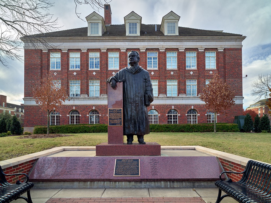
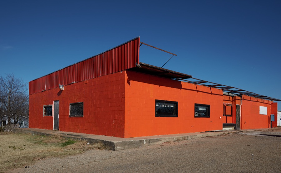
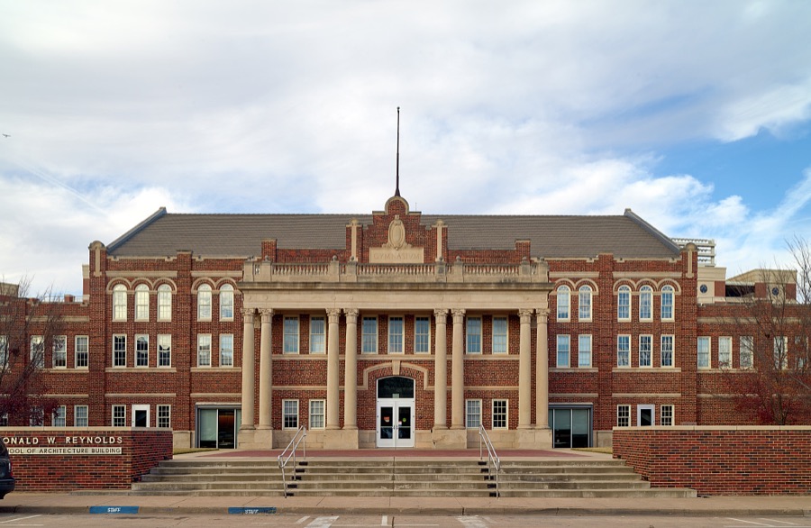

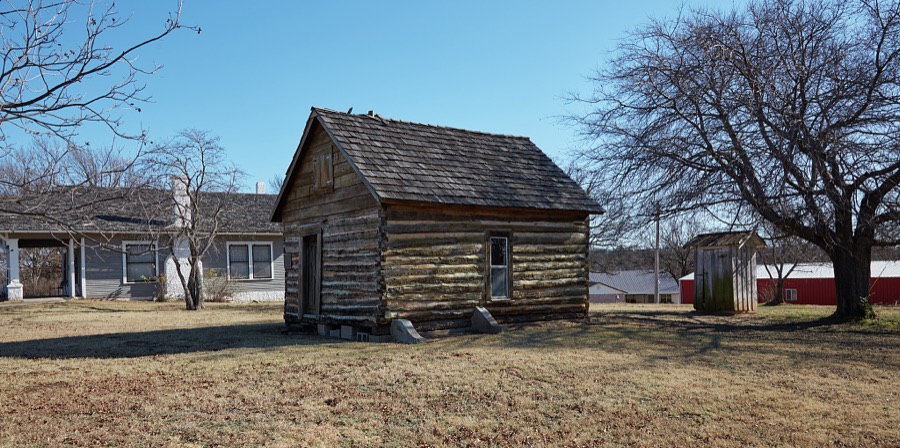

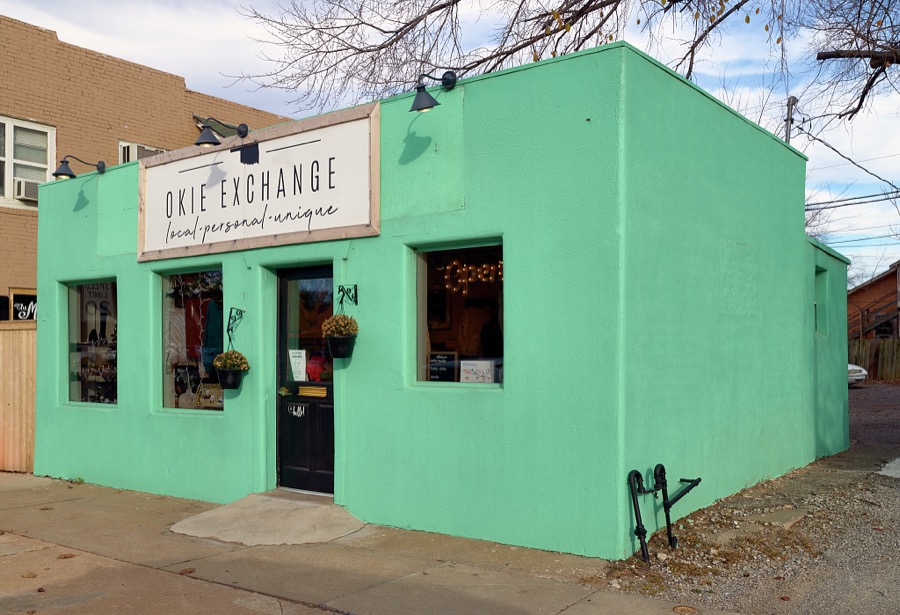
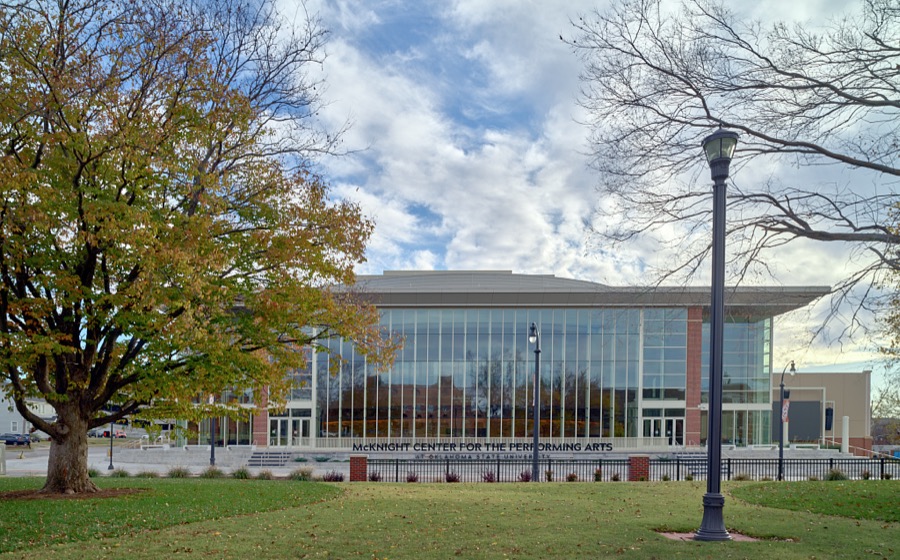
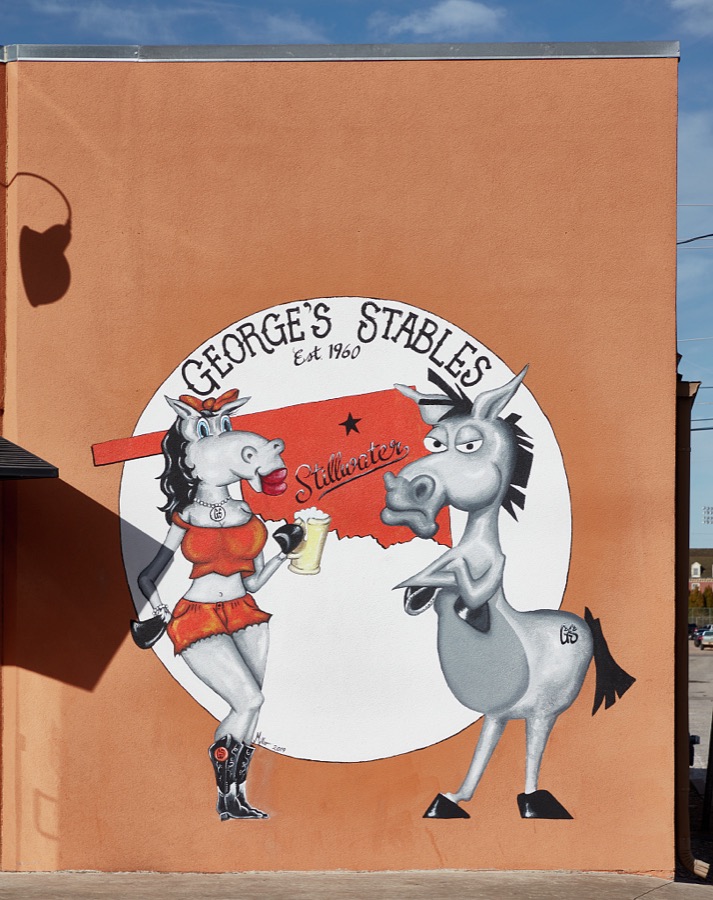
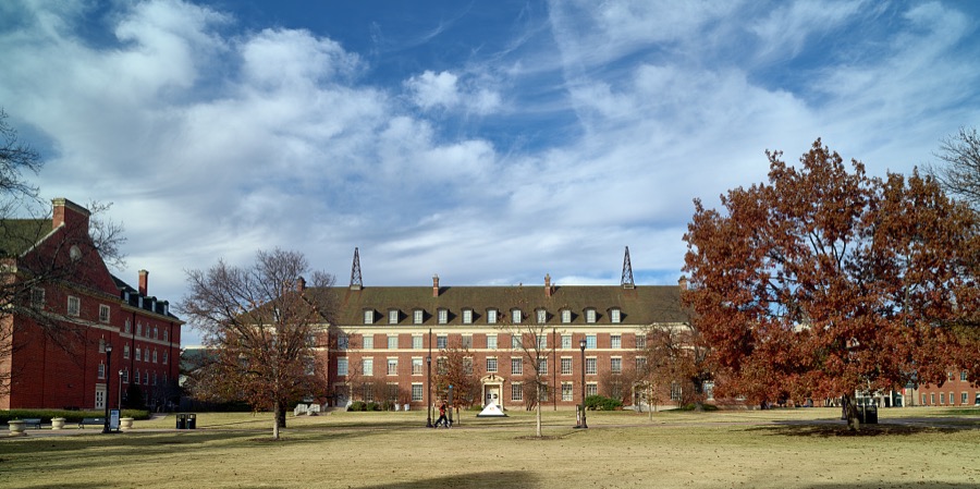
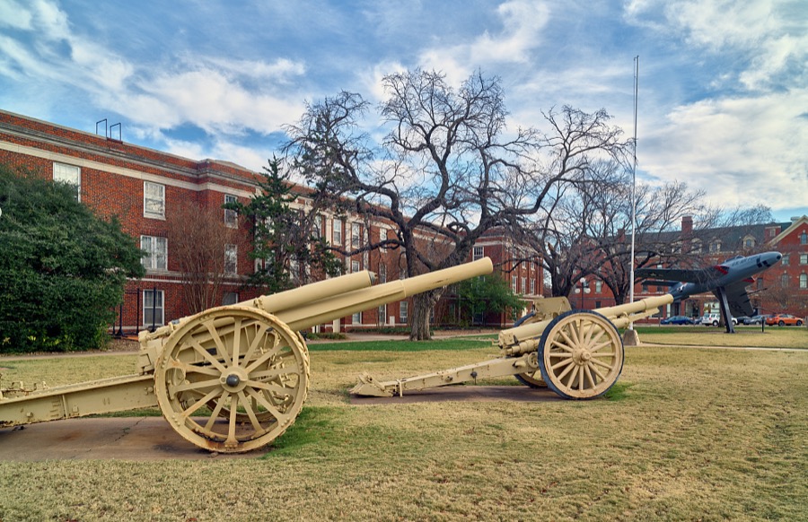
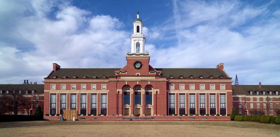
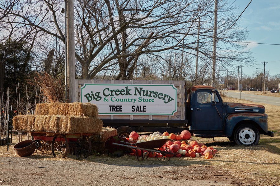
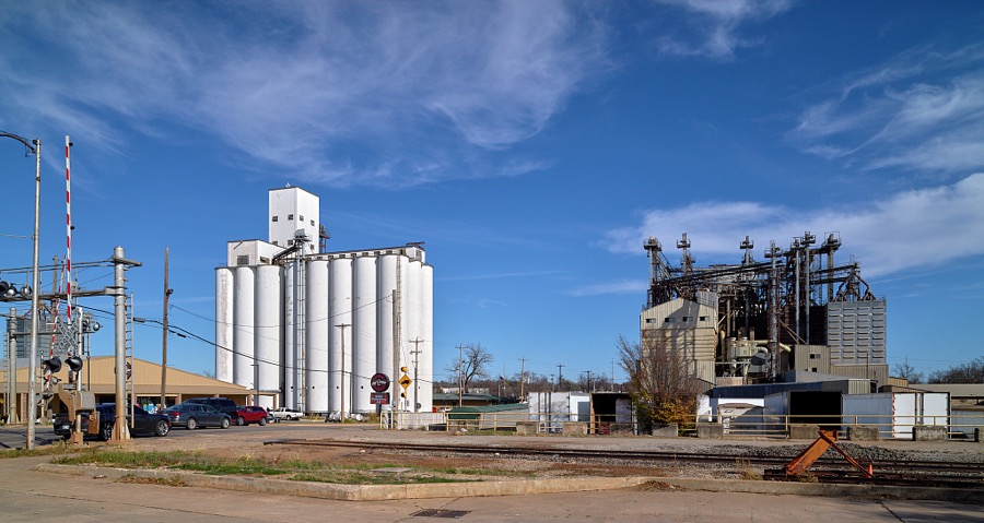
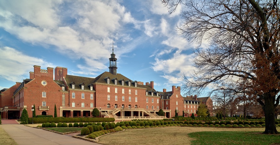
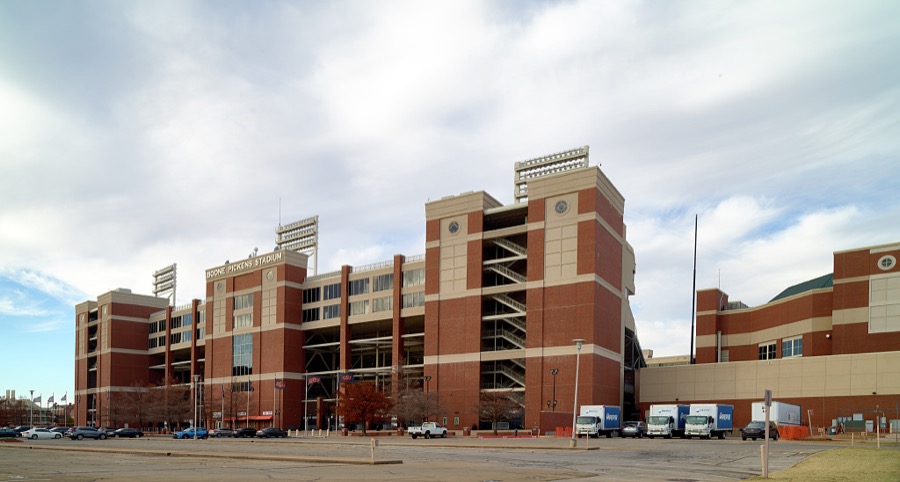

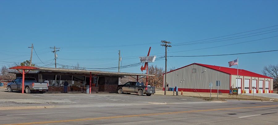
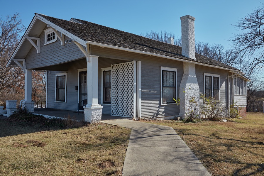
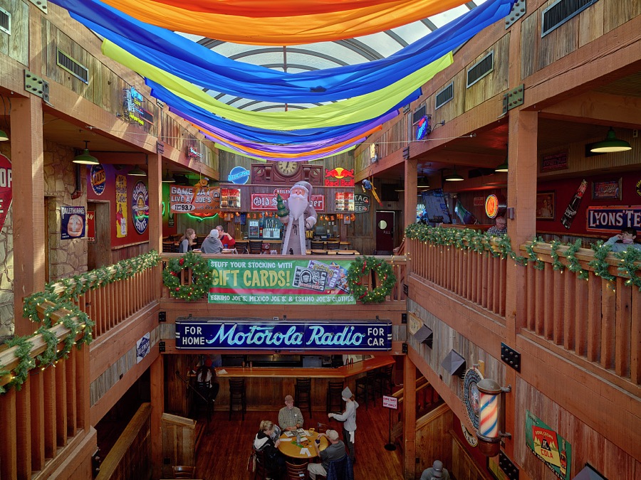
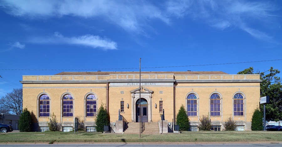
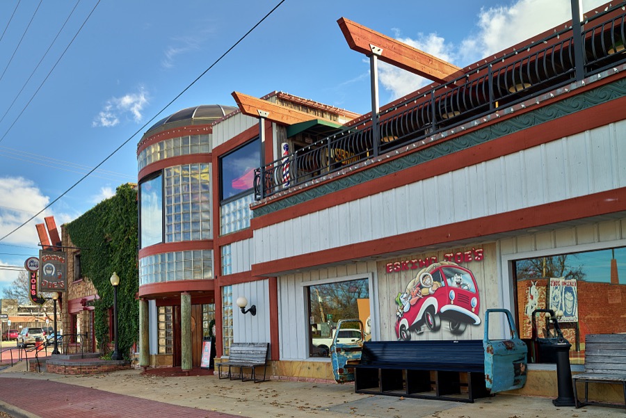
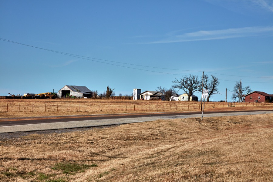
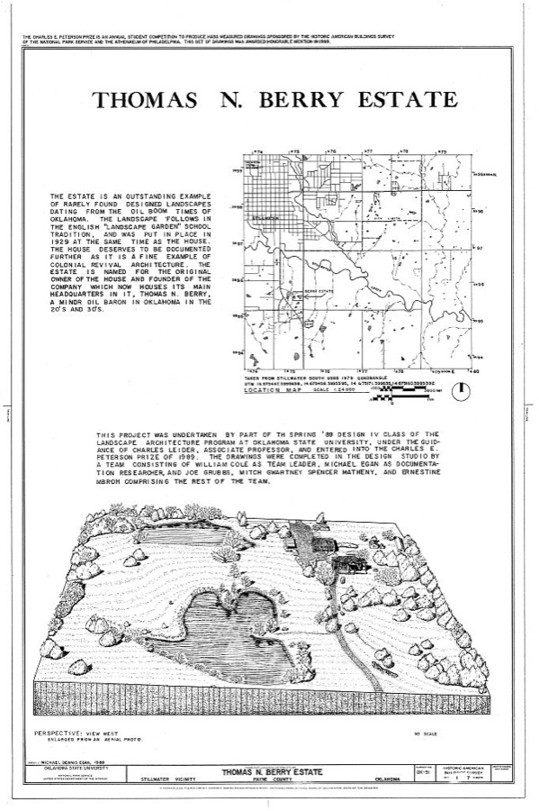
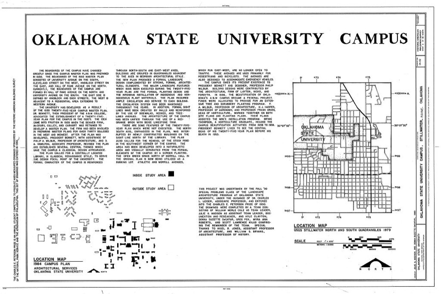
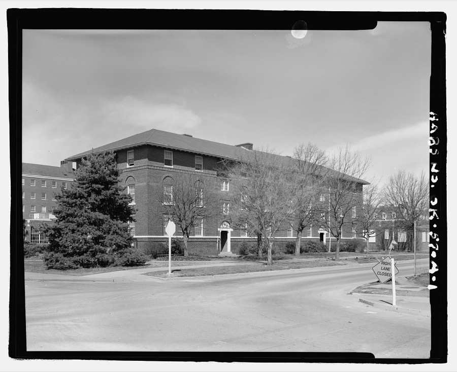
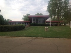
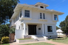
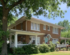
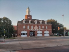
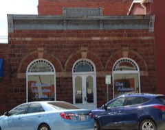
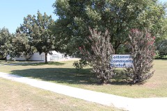
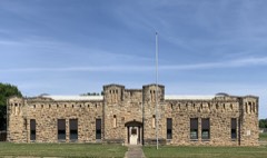
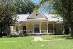
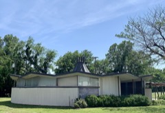
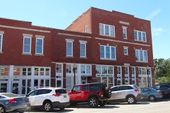
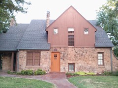
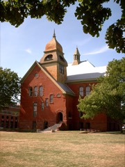
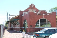
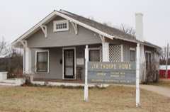
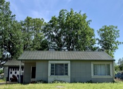
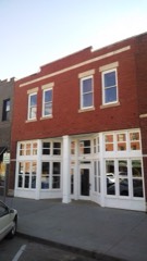
Every property in this county listed on the National Register of Historic Places, with the year it was listed and the federal nomination document.
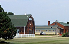
Selected from the Digital Public Library of America's 4 image records catalogued for this county. Every one shown here carries a public-domain status or a licence that permits reuse on a site that carries advertising; non-commercial, share-alike and restricted images are excluded. The selection is spread across the county's towns (at most eight per town), so no single institution's bulk upload crowds out the rest. Each opens the holding library's record, and the complete set at the Digital Public Library of America is one click away.
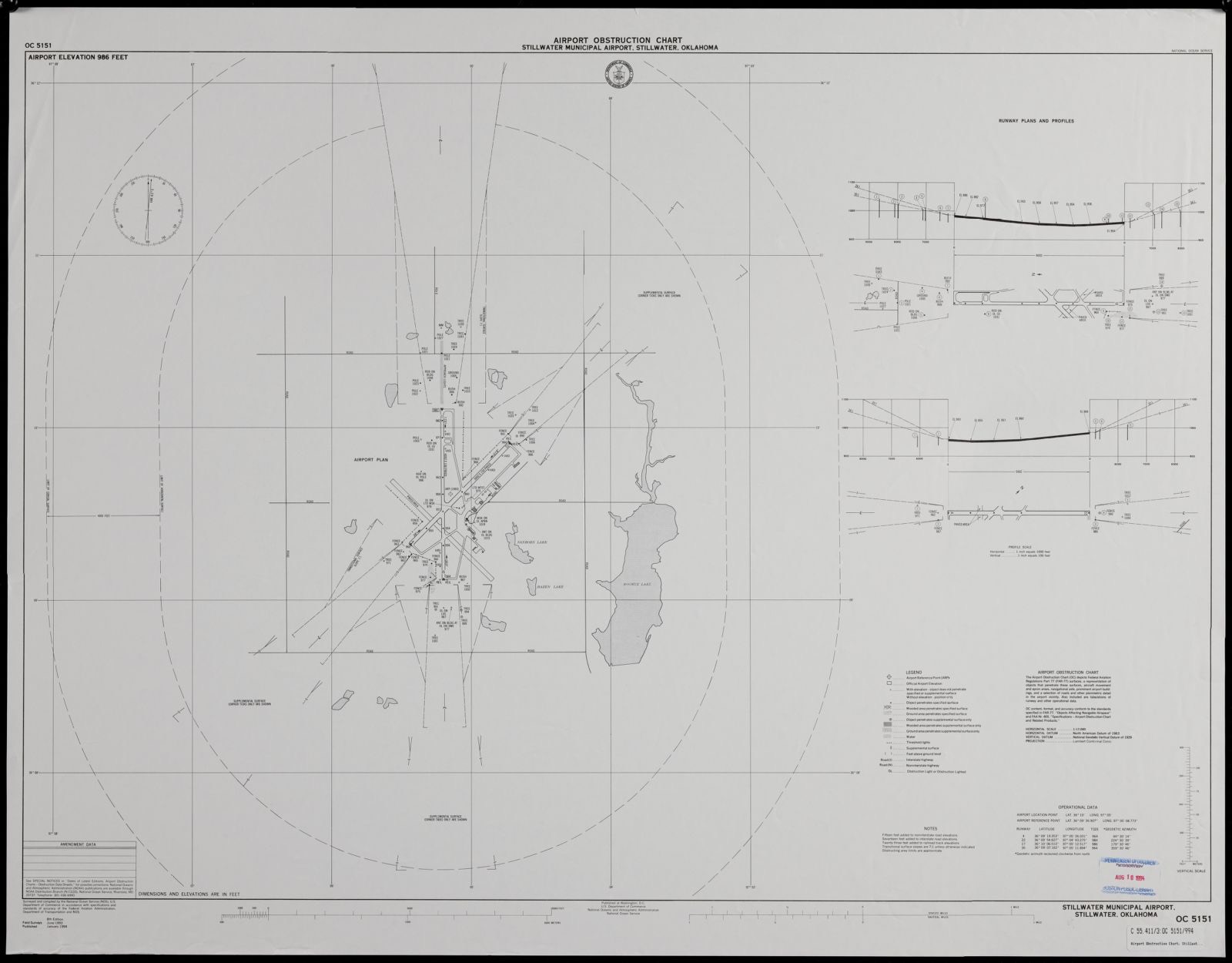
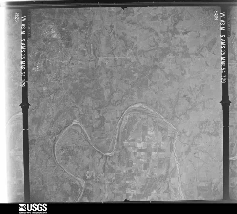
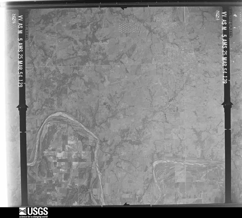
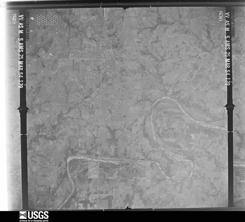
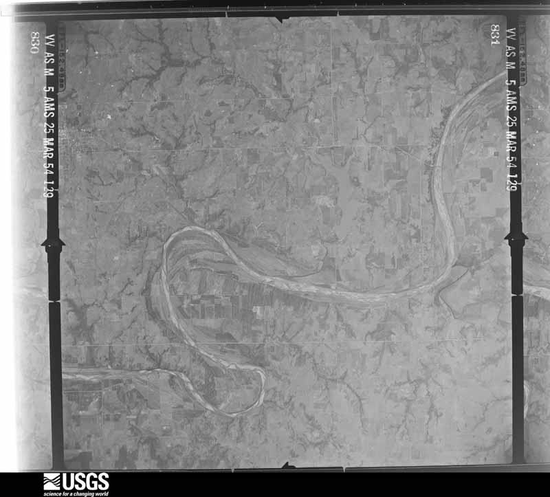
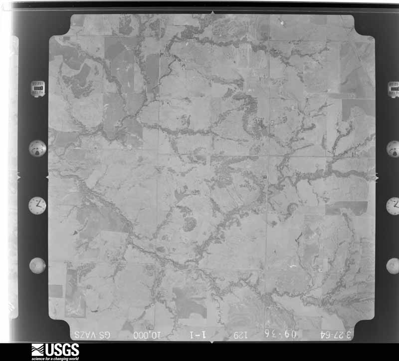
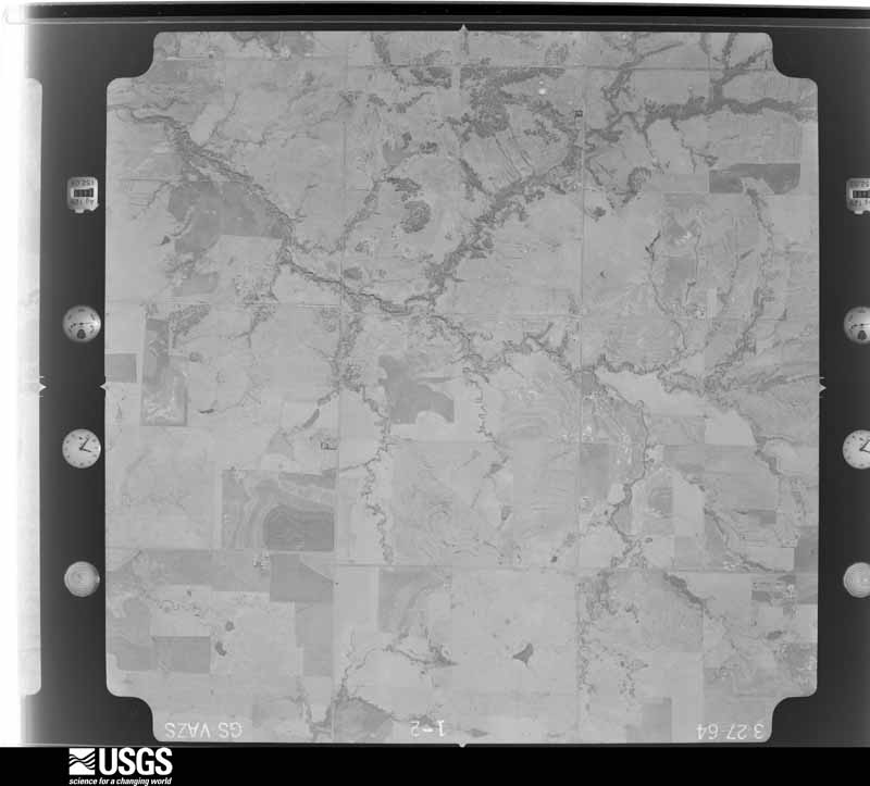
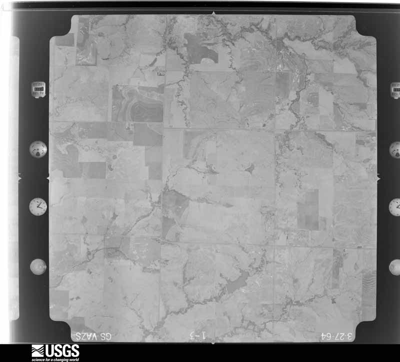
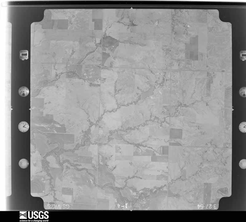
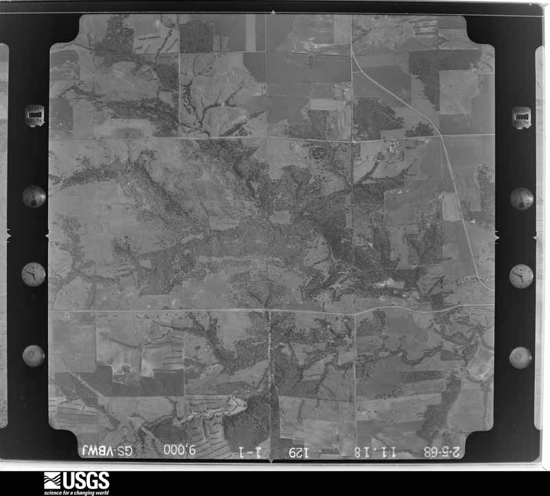
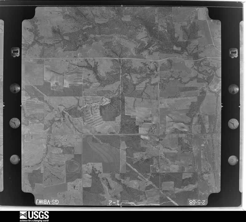
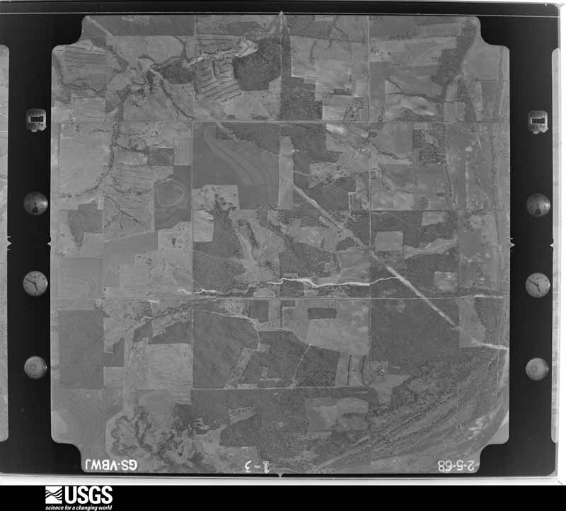
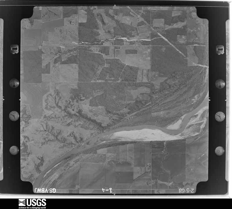
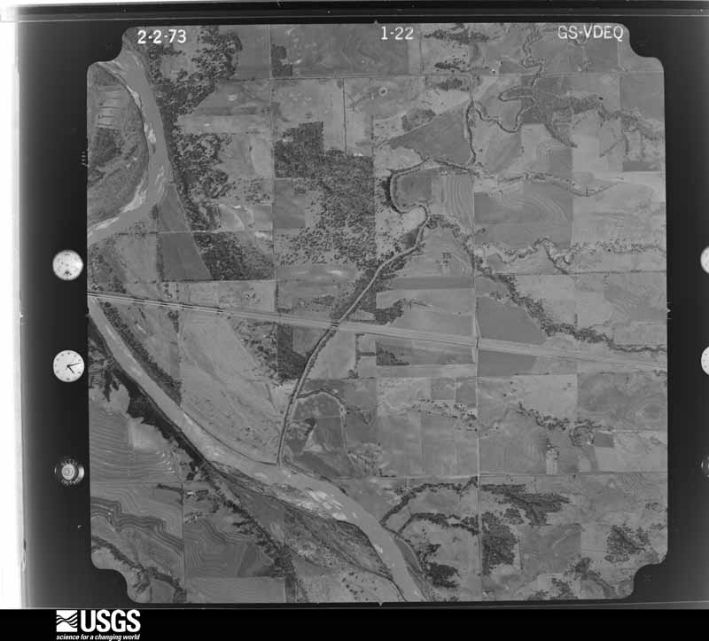
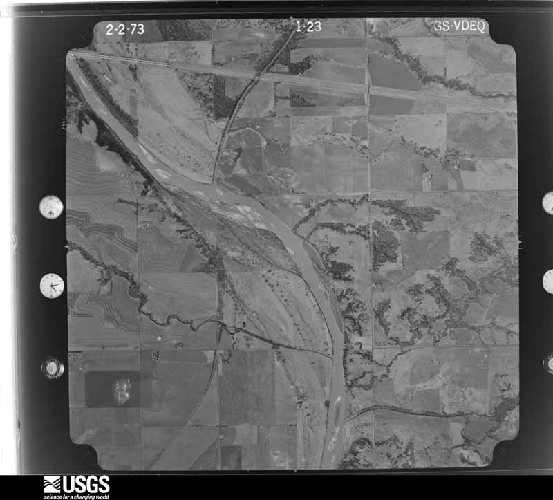
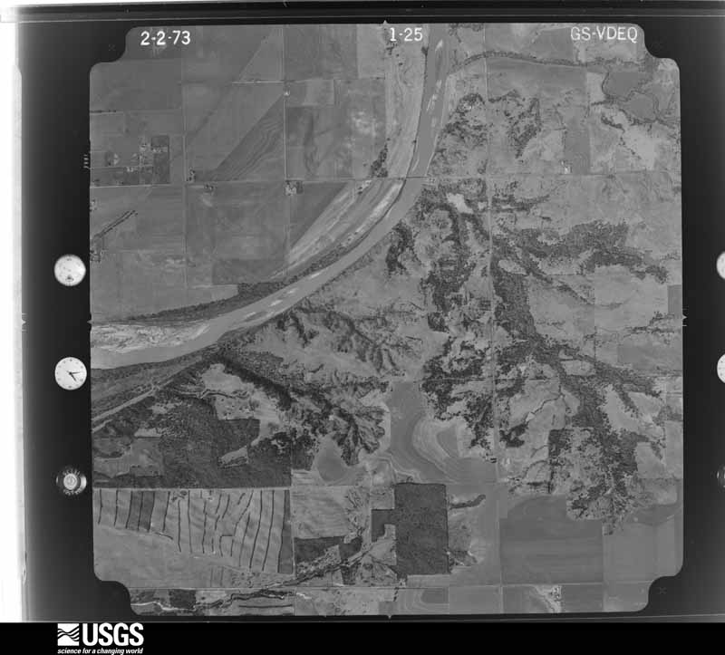
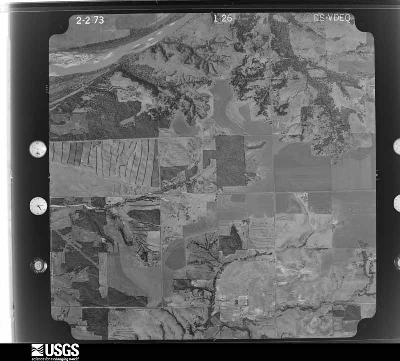
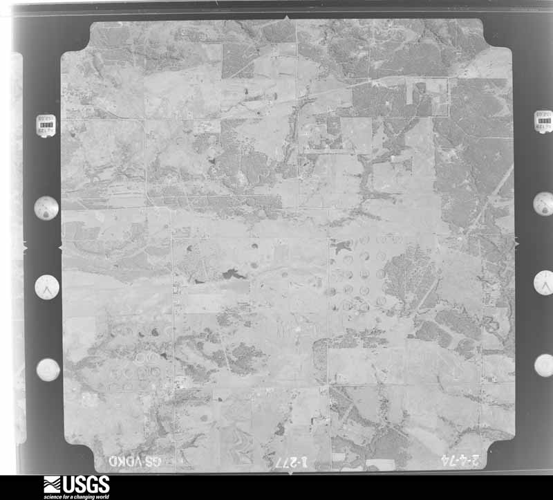
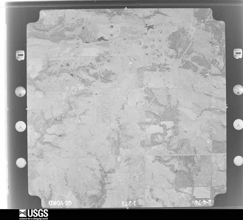
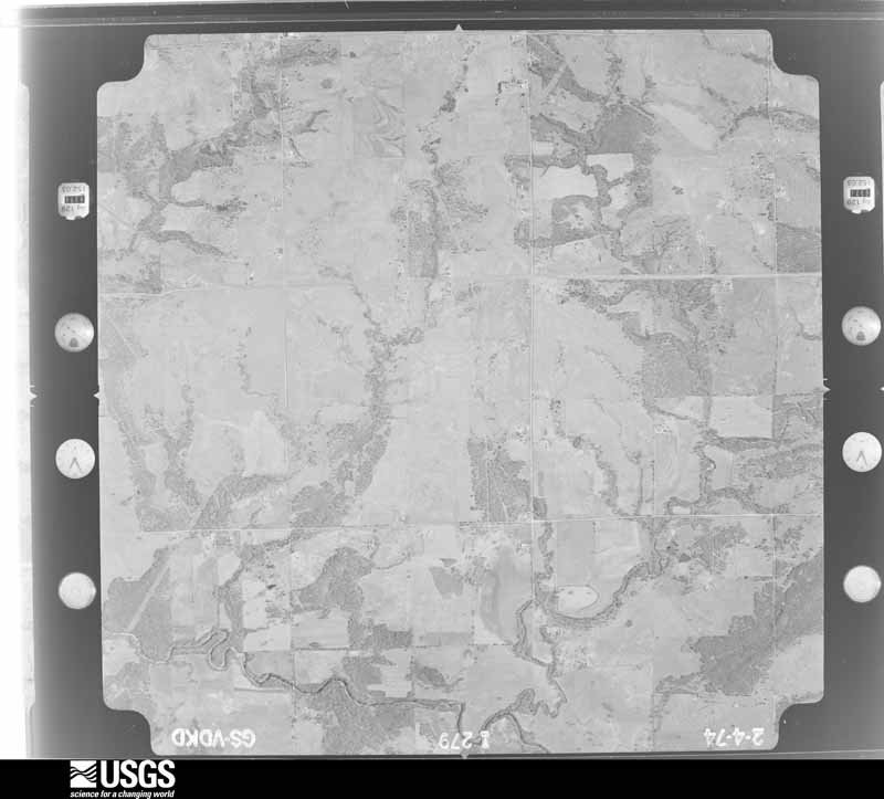
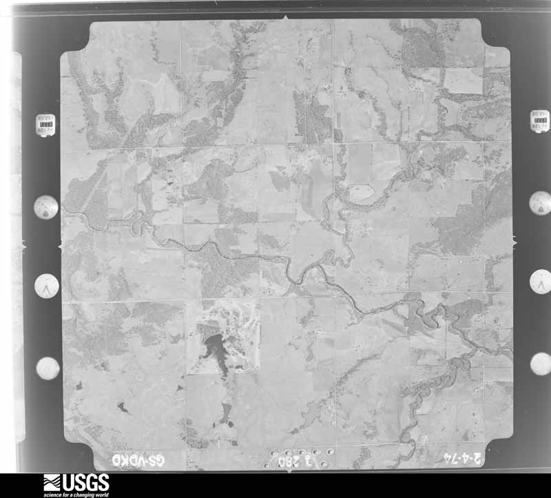
Flown by the U.S. Geological Survey between 1937 and 1989, the Aerial Photo Single Frames collection is the definitive mid-century view of the land: fields, roads and rivers as the camera saw them. The Survey holds 732 frames inside the rectangle that bounds this county; the 20 frames below were taken over the county itself, chosen across the decades of flights (at most four a year from that rectangle), so one flight cannot crowd out the rest. The full set is free to browse and download at EarthExplorer under the dataset Aerial Photo Single Frames.
The thermometers that kept this county's weather, and the gages that measured the flow of its streams, as the federal records hold them. The extremes below are measured values from those records, not estimates.
Who lived here in 1950, one enumeration district at a time, as the Census Bureau described each district. Each row opens its official National Archives result, with Population Schedules and ED Maps available there.
Every wildfire the federal occurrence database records inside this county: 76 of them, burning about 14,227 acres. 9 started naturally and 8 were recorded as arson. Each settlement page carries the fires within five miles of it.
| Reported cause | Fires |
|---|---|
| Missing data/not specified/undetermined | 32 |
| Debris and open burning | 18 |
| Natural | 9 |
| Arson/incendiarism | 8 |
| Equipment and vehicle use | 4 |
| Power generation/transmission/distribution | 3 |
| Recreation and ceremony | 1 |
| Fireworks | 1 |
The five largest, by the area the report gives. One of them was set deliberately.
| Date | Cause | Size | Reported by | Name on the report |
|---|---|---|---|---|
| 4 August 2012 | Missing data/not specified/undetermined | 6,887 acres | Oklahoma Division of Forestry | GLENCOE |
| 4 August 2012 | Missing data/not specified/undetermined | 1,678 acres | Pawnee Agency | NORFOLK RD |
| 30 July 2012 | Missing data/not specified/undetermined | 1,106 acres | Oklahoma Division of Forestry | STILLWATER COMPLEX |
| 4 August 2011 | Arson/incendiarism | 685 acres | Kickapoo Field Office | DEEP ROCK |
| 10 March 2017 | Missing data/not specified/undetermined | 600 acres | Oklahoma Division of Forestry | 80TH STREET FIRE |
| 30 January 2016 | Debris and open burning | 437 acres | Kickapoo Field Office | OAK GROVE FIRE |
| 15 February 2014 | Missing data/not specified/undetermined | 285 acres | Pawnee Agency | EUCHEE |
| 5 January 2006 | Missing data/not specified/undetermined | 250 acres | Oklahoma Division of Forestry | STILLWATER 1 |
Every settlement page carries the fires within five miles of it - see the settlement index below.
The NOAA Storm Events Database holds 847 reports for this county, causing 3 deaths, 63 injuries and about $11,140,100 in recorded property damage. Each settlement page carries the reports that name it.
| Kind of event | Reports |
|---|---|
| Hail | 409 |
| Thunderstorm Wind | 329 |
| Tornado | 59 |
| Flash Flood | 26 |
| Lightning | 15 |
| Flood | 6 |
| Heavy Rain | 3 |
The most serious of them, by death, then injury, then recorded damage. The accounts are quoted exactly as the forecast office filed them.
| When | Event | Place named | Harm | What the report says |
|---|---|---|---|---|
| May 1990 | Tornado (F3) | not stated | 1 killed, 12 hurt, $2,500,000 | no account filed |
| May 1999 | Tornado (F2) | Stillwater | 1 killed, 3 hurt, $100,000 | Tornado B20 (Payne County portion). On January 10,2001 tornadoes B20 and B21 were combined and will be identified as B20. Tornado B21 no longer exists. See summary at end of May 3rd storm reports for more information. |
| May 2019 | Flood | Perkins | 1 killed, $10,000 | A woman drove around a high water sign and her car was subsequently swept off the road into about 10 feet of water. Weather was clear and rains had stopped at time of incident. |
| May 2011 | Tornado (EF2) | Lake Carl Blackwell Dam | 18 hurt | This tornado was labeled B4 (Stillwater tornado). This tornado developed with mainly tree and power pole/line damage. The tree damage was significant, with several homes impacted as the tornado traveled northeast. Significant roof and siding damage occurred to the homes, with several barns and outbuildings sustaining significant damage or were destroyed altogether. EF-2 damage continued as the tornado moved south of Stillwater, with additional structures sustaining roof damage. A couple of the homes also had collapsed chimneys. The damage lessened in severity over the latter half of the tornado path, with mostly tree damage and minor structural damage. Monetary damage estimates were not available. |
| June 1975 | Tornado (F3) | not stated | 8 hurt, $2,500,000 | no account filed |
| April 1984 | Tornado (F2) | not stated | 8 hurt, $250,000 | no account filed |
| May 1954 | Tornado (F2) | not stated | 7 hurt, $25,000 | no account filed |
| April 1984 | Thunderstorm Wind | not stated | 3 hurt | no account filed |
| April 1970 | Tornado (F1) | not stated | 2 hurt, $25,000 | no account filed |
| July 1954 | Tornado (F2) | not stated | 1 hurt, $2,500 | no account filed |
| September 1998 | Lightning | Stillwater | 1 hurt | no account filed |
| April 1970 | Tornado (F2) | not stated | $2,500,000 | no account filed |
| April 1991 | Tornado (F2) | not stated | $250,000 | no account filed |
| March 1985 | Tornado (F1) | not stated | $250,000 | no account filed |
| April 1984 | Tornado (F0) | not stated | $250,000 | no account filed |
| April 1984 | Tornado (F1) | not stated | $250,000 | no account filed |
| June 1969 | Tornado (F2) | not stated | $250,000 | no account filed |
| April 1956 | Tornado (F1) | not stated | $250,000 | no account filed |
| June 2004 | Thunderstorm Wind | Cushing | $150,000 | Tree damage was reported around town. Several homes sustained roof damage along with 3 businesses which lost part of their roofs. |
| July 1997 | Lightning | Yale | $80,000 | Lightning struck and set fire to a house, destroying the home and its contents. |
| January 2010 | Lightning | Cushing | $75,000 | An oil tank was struck by lightning, with over 100 barrels of oil lost. The time was estimated. Monetary damages were also estimated. |
| June 2004 | Thunderstorm Wind | Glencoe | $75,000 | Strong winds caused damage across the town. Roofs were blown off three barns. Numerous 4-5 inch diameter tree limbs were downed along with a cedar tree 16-18 inches in diameter snapped off about 8 feet above ground. A mobile home had part of its metal roof taken off along with a quarter of the shingles off the north side of another mobile home to the south. Many homes across town also sustained shingle damage. The north facing overhead door to the VoAg building was blown in while the south door was bent out. However...these were not detached. A pontoon boat was also flipped and blown into the street. |
| June 2004 | Thunderstorm Wind | Stillwater | $75,000 | Wind gusts caused minor damage to several dorms and the stadium at Oklahoma State University. An 18 by 24 foot roof structure that covers the boiler and water reservoir at a Best Western was also heavily damaged. Widespread tree damage was reported around town. |
| May 2016 | Thunderstorm Wind | (Swo)Stillwater Airport | $65,000 | A mobile home was destroyed and blocked Lone Chimney road. Also, power lines were reported own on Perkins and Lone Chimney Roads. |
| May 2022 | Tornado (EF1) | Perkins | $50,000 | This tornado developed to the west of the Cimarron River near South Union Road and 104th Street. It moved to the east-northeast passing just south of the city limits of Ripley and dissipating about 3 miles east of Ripley. The tornado caused damage to trees, farm buildings and a few mobile homes. |
| July 2021 | Tornado (EF1) | Yale | $50,000 | A tornado touched down within the bend of the Cimarron River southwest of Yale and traveled almost a mile and a half to the southeast. At the beginning of the path, the tornado damaged oil tanks and trees. Multiple barns were heavily damaged as the tornado moved southeast across E3530 Road. The tornado then turned more south-southeast damaging numerous trees, a barn and a pivot irrigator. |
| May 2016 | Tornado (EF2) | (Swo)Stillwater Airport | $50,000 | This tornado moved into Payne County from Noble County near Glencoe road moving northeast and then north-northeast crossing back into Noble County between Country Club Road and Sangre Road. At least two houses and two outbuildings were damaged in Payne County in addition to tree and power pole damage. |
| June 2007 | Flash Flood | Stillwater | $50,000 | Twenty-five to thirty roads were barricaded or closed. A few residences had to be evacuated by boat. Cars were stalled/flooded due to high water on a US-177 feeder road on the north side of town. Widespread street flooding was reported throughout Stillwater. The golf course was also reported under water. Monetary damages were estimated. |
| April 1994 | Hail | Stillwater | $50,000 | no account filed |
| July 1994 | Hail | Stillwater | $50,000 | no account filed |
| July 1994 | Thunderstorm Wind | Stillwater | $50,000 | no account filed |
| May 2019 | Tornado (EF0) | Ingalls | $30,000 | A brief QLCS tornado significantly damaged three barns and a shop about a half mile east of Ingalls. |
| April 2026 | Thunderstorm Wind | Lake Carl Blackwell Dam | $25,000 | A tractor-trailer was overturned along Interstate 35. The event time is estimated based on radar observations. |
| January 2026 | Thunderstorm Wind | Stillwater | $25,000 | Thunderstorm winds damaged the roof of a building on the campus of Oklahoma State University. The event location is approximate. |
| June 1999 | Thunderstorm Wind | Stillwater | $25,000 | no account filed |
| June 1988 | Tornado (F1) | not stated | $25,000 | no account filed |
| May 1979 | Tornado (F1) | not stated | $25,000 | no account filed |
| August 1963 | Tornado (F2) | not stated | $25,000 | no account filed |
| May 1961 | Tornado (F3) | not stated | $25,000 | no account filed |
| May 1961 | Tornado (F3) | not stated | $25,000 | no account filed |
| June 2023 | Thunderstorm Wind | Cushing | $20,000 | Multiple power poles blown down and roof damage to several buildings in the community of Cushing. Time is radar estimated. |
| June 2023 | Thunderstorm Wind | Yale | $20,000 | Structural damage throughout the community of Yale. Time is radar estimated. |
| June 2023 | Thunderstorm Wind | Cushing | $20,000 | Davis Weather Station observation. Station mounted at an elevation of 31-feet. In addition, numerous 2436-inch diameter trees uprooted along with a roof completely removed from a brick building. Time is radar estimated. |
| June 2023 | Thunderstorm Wind | Perkins | $20,000 | Damage to outbuildings, roofs, and trees in and near the community of Perkins. Time is radar estimated. |
| April 2019 | Tornado (EF1) | Cushing | $20,000 | A tornado was filmed in the northeast portion of Cushing. The tornado produced roof damage at an energy company building as well as some tree damage. |
| May 2018 | Thunderstorm Wind | (Swo)Stillwater Airport | $20,000 | Mobile home destroyed. Time estimated by nearby reports. |
| April 2006 | Thunderstorm Wind | Perkins | $20,000 | A pole barn on West 26th Street was damaged with debris scattered for about 250 yards. |
| May 1999 | Lightning | Yale | $20,000 | no account filed |
| November 1998 | Tornado (F0) | Cushing | $20,000 | no account filed |
| August 2005 | Thunderstorm Wind | Mehan | $17,000 | The Mehan Union Church, 6 miles east of Highway 177 on Mehan Road, sustained some damage. Objects inside the church were blown around when the doors, some of which were locked, were blown open. The most significant damage was a stain glass window that was blown into the church and some shingles blown from the east side of the roof. |
| April 2006 | Thunderstorm Wind | Stillwater | $15,000 | A pole barn under construction, near the intersection of 6th Street and Country Club, was lifted and thrown over 8 city blocks. |
| June 2001 | Flood | Stillwater | $15,000 | Cars stalled in high water. |
| April 1999 | Thunderstorm Wind | Glencoe | $12,000 | no account filed |
| April 2024 | Tornado (EF0) | (Swo)Stillwater Airport | $10,000 | A tornado touched down near Richmond Road just west of Country Club Road in northern Payne County damaging trees in the area. Trees and outbuildings were also damaged near Lone Chimney Road and Western Road to the northeast. This tornado may not have been continuous along this path. |
| May 2024 | Flash Flood | Glencoe | $10,000 | Roadway flooding in the community of Glencoe and along portions of Oklahoma Highway 108 three miles south of the community. Relayed image showing a portion of VFW road washed out. Event time is approximate. |
| June 2023 | Thunderstorm Wind | Perkins | $10,000 | Extensive tree damage, including numerous trees blocking city streets, in the community of Perkins. Time is radar estimated. |
| June 2023 | Thunderstorm Wind | Cushing | $10,000 | Several large tree limbs blown down along with significant damage to a carport. Power lines were also reported down in the vicinity. |
| August 2019 | Flash Flood | Ingalls | $10,000 | Road washed out at the intersection of 44TH and Ripley as well as just east of intersection of Ripley and 32ND street. |
| May 2019 | Tornado (EF0) | Stillwater | $10,000 | An outbuilding and detached garage were significantly damaged by a brief QLCS tornado. |
| September 2015 | Thunderstorm Wind | Stillwater | $10,000 | Several tree limbs and whole trees blew down, with some of the limbs going through roofs. |
The Survey's mineral resources record lists 79 workings inside this county. 8 still produce and 71 are closed or unrecorded. Each settlement page carries the workings within five miles of it.
| Commodity | Workings |
|---|---|
| Stone, Crushed/Broken | 40 |
| Sand and Gravel, Construction | 21 |
| Copper | 14 |
| Silver | 5 |
| Clay | 3 |
| Gold | 1 |
| Clay, Stone, Crushed/Broken | 1 |
The least common of them first, because a county's hundredth gravel pit says nothing its first ten did not.
| Where | Site | Commodity | Status | Recorded |
|---|---|---|---|---|
| Burwell Prospect | Copper, Silver, Gold | Past Producer | 1901, 1907, 1918 | |
| Unknown Clay Pit | Clay, Stone, Crushed/Broken | Past Producer | ||
| Unknown Shale Pit | Clay | Past Producer | ||
| Unknown Shale Pit | Clay | Past Producer | ||
| Unknown Shale Pit | Clay | Past Producer | ||
| Bethel West | Copper, Silver | Occurrence | Chalcocite, Malachite | |
| Council Creek | Copper, Silver | Occurrence | Malachite | |
| R.B. French Prospect | Copper, Silver | Past Producer | 1907 | |
| Stillwater East-5 | Copper, Silver | Occurrence | 1975 | |
| Ripley East | Copper | Occurrence | 1955 | |
| Ripley East Southeast | Copper | Occurrence | 1955 | |
| Stillwater East-1 | Copper | Occurrence | 1975 | |
| Stillwater East-2 | Copper | Occurrence | 1975 | |
| Stillwater East-3 | Copper | Occurrence | 1975 | |
| Stillwater East-4 | Copper | Occurrence | 1972 | |
| West Point Sse | Copper | Occurrence | 1975 | |
| West Point-Northeast | Copper | Occurrence | 1985 | |
| Wild Horse Creek | Copper | Occurrence | Malachite | |
| Amc Trucking Co Sand Pit | Sand and Gravel, Construction | Past Producer | ||
| Evans and Associates | Sand and Gravel, Construction | Producer | ||
| Irwin Sand Pit | Sand and Gravel, Construction | Producer | ||
| Kerns Construction Sand Pit | Sand and Gravel, Construction | Past Producer | ||
| Unknown Clay Pit | Sand and Gravel, Construction | Past Producer | ||
| Unknown Sand Pit | Sand and Gravel, Construction | Past Producer | ||
| Unknown Sand Pit | Sand and Gravel, Construction | Past Producer | ||
| Unknown Sand Pit | Sand and Gravel, Construction | Producer | ||
| Unknown Sand Pit | Sand and Gravel, Construction | Past Producer | ||
| Unknown Sand Pit | Sand and Gravel, Construction | Past Producer | ||
| Unknown Sand Pit | Sand and Gravel, Construction | Producer | ||
| Unknown Sand Pit | Sand and Gravel, Construction | Past Producer | ||
| Unknown Sand Pit | Sand and Gravel, Construction | Past Producer | ||
| Unknown Sand Pit | Sand and Gravel, Construction | Past Producer | ||
| Unknown Sand Pit | Sand and Gravel, Construction | Producer | ||
| Unknown Sand Pit | Sand and Gravel, Construction | Unknown | ||
| Unknown Sand Pit | Sand and Gravel, Construction | Past Producer | ||
| Unknown Sand Pit | Sand and Gravel, Construction | Past Producer | ||
| Unknown Sand Pit | Sand and Gravel, Construction | Past Producer | ||
| Unknown Sand Pit | Sand and Gravel, Construction | Past Producer | ||
| Unknown Sand Pit | Sand and Gravel, Construction | Past Producer | ||
| Stewart Rock Co. | Stone, Crushed/Broken | Producer | ||
| Stewart Stone-Cushing | Stone, Crushed/Broken | Producer | ||
| Unknown Limestone Pit | Stone, Crushed/Broken | Past Producer | ||
| Unknown Limestone Pit | Stone, Crushed/Broken | Past Producer | ||
| Unknown Limestone Pit | Stone, Crushed/Broken | Past Producer | ||
| Unknown Limestone Pit | Stone, Crushed/Broken | Past Producer | ||
| Unknown Limestone Pit | Stone, Crushed/Broken | Past Producer | ||
| Unknown Limestone Pit | Stone, Crushed/Broken | Past Producer | ||
| Unknown Limestone Pit | Stone, Crushed/Broken | Past Producer | ||
| Unknown Limestone Pit | Stone, Crushed/Broken | Past Producer | ||
| Unknown Limestone Pit | Stone, Crushed/Broken | Producer | ||
| Unknown Limestone Pit | Stone, Crushed/Broken | Past Producer | ||
| Unknown Limestone Pit | Stone, Crushed/Broken | Past Producer | ||
| Unknown Limestone Pit | Stone, Crushed/Broken | Past Producer | ||
| Unknown Limestone Pit | Stone, Crushed/Broken | Past Producer | ||
| Unknown Limestone Pit | Stone, Crushed/Broken | Past Producer | ||
| Unknown Limestone Pit | Stone, Crushed/Broken | Past Producer | ||
| Unknown Limestone Pit | Stone, Crushed/Broken | Past Producer | ||
| Unknown Limestone Pit | Stone, Crushed/Broken | Past Producer | ||
| Unknown Limestone Pit | Stone, Crushed/Broken | Past Producer | ||
| Unknown Limestone Pit | Stone, Crushed/Broken | Past Producer | ||
| Unknown Limestone Pit | Stone, Crushed/Broken | Past Producer | ||
| Unknown Limestone Pit | Stone, Crushed/Broken | Past Producer | ||
| Unknown Limestone Pit | Stone, Crushed/Broken | Past Producer | ||
| Unknown Limestone Pit | Stone, Crushed/Broken | Past Producer | ||
| Unknown Limestone Pit | Stone, Crushed/Broken | Past Producer | ||
| Unknown Limestone Pit | Stone, Crushed/Broken | Past Producer | ||
| Unknown Limestone Pit | Stone, Crushed/Broken | Past Producer | ||
| Unknown Limestone Pit | Stone, Crushed/Broken | Past Producer | ||
| Unknown Limestone Pit | Stone, Crushed/Broken | Past Producer | ||
| Unknown Limestone Pit | Stone, Crushed/Broken | Past Producer | ||
| Unknown Limestone Pit | Stone, Crushed/Broken | Past Producer | ||
| Unknown Limestone Pit | Stone, Crushed/Broken | Past Producer | ||
| Unknown Limestone Pit | Stone, Crushed/Broken | Past Producer | ||
| Unknown Sandstone Pit | Stone, Crushed/Broken | Past Producer | ||
| Unknown Sandstone Pit | Stone, Crushed/Broken | Past Producer | ||
| Unknown Sandstone Pit | Stone, Crushed/Broken | Past Producer | ||
| Unknown Sandstone Pit | Stone, Crushed/Broken | Past Producer | ||
| Unknown Sandstone Pit | Stone, Crushed/Broken | Past Producer | ||
| Unknown Sandstone Pit | Stone, Crushed/Broken | Past Producer |
Named settlements recorded in the Geographic Names Information System, each with the topographic sheets covering it. Villages, hamlets and abandoned places alike. Each is shown with the nearest named watercourse or landform and the survey quadrangle it falls on. The 5 places that were also surveyed for fire insurance come first, with the number of atlases and photographs held for them.
Cushing census division · 74023 · Cushing quadrangle
10 sheets, 1908 to 1990
Fire insurance: 7 atlases
Stillwater census division · 74059 · Perkins quadrangle
11 sheets, 1909 to 1990
Fire insurance: 7 atlases
Cushing census division · 74062 · On Stillwater Creek · Ripley quadrangle
11 sheets, 1929 to 1990
Fire insurance: 2 atlases
Stillwater census division · 74074 · Stillwater South quadrangle
10 sheets, 1893 to 1990
Fire insurance: 9 atlases
Yale census division · 74085 · On Mud Creek · Yale quadrangle
12 sheets, 1929 to 1990
Fire insurance: 3 atlases
Cushing census division · 74023 · On Cabin Creek · Twin Mounds quadrangle
11 sheets, 1929 to 1990
Stillwater census division · 74059 · On Sand Creek · Tryon North quadrangle
10 sheets, 1908 to 1990
Cushing census division · 74023 · On Elm Creek · Cushing quadrangle
10 sheets, 1908 to 1990
Stillwater census division · 74074 · On Little Stillwater Creek · Ripley quadrangle
11 sheets, 1929 to 1990
10 topographic sheets and 9 fire insurance atlases, 1894 to 1948
10 topographic sheets and 7 fire insurance atlases, 1903 to 1938
11 topographic sheets and 7 fire insurance atlases, 1898 to 1925
12 topographic sheets and 3 fire insurance atlases, 1911 to 1922
11 topographic sheets and 2 fire insurance atlases, 1925
The complete index, with nothing left out. Each of these is a separate record with its own page: a federal survey report, or the case file that argued a property on to the National Register. Both are public domain and reproduced word for word.