 Block
From the record
18 National Register listings published here.
Sources: the National Register database, National Park Service
76 topographic sheets and 39 fire insurance atlases across 6 places.
18 National Register listings published here.
Sources: the National Register database, National Park Service
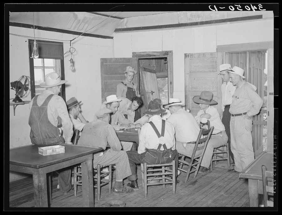
Taken for the Office of War Information and the Farm Security Administration, who photographed the country between 1935 and 1944. Works of United States government photographers, with no known restriction on use. Each opens its catalogue record.
Every property in this county listed on the National Register of Historic Places, with the year it was listed and the federal nomination document.
| Photograph | Property | Type | Listed | Reference |
|---|---|---|---|---|
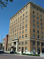 | Aldridge Hotel | building | 2000 | 00000622 |
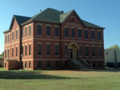 | Barnard Elementary School | building | 2000 | 00000624 |
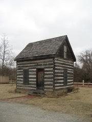 | Beard Cabin | building | 1983 | 83002121 |
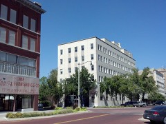 | Bell Street Historic District | district | 2000 | 00001579 |
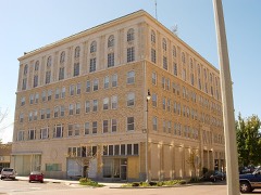 | Billington Building | building | 1985 | 85002512 |
 | H. T. Douglas Mansion and Garage | building | 1985 | 85002517 |
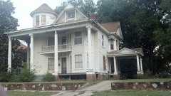 | Governors Mansion | building | 1983 | 83002122 |
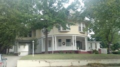 | Kerfoot House | building | 1983 | 83002123 |
 | Nuckolls House | building | 1983 | 83002124 |
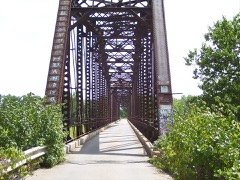 | Old Santa Fe Railroad Bridge | structure | 2010 | 10000070 |
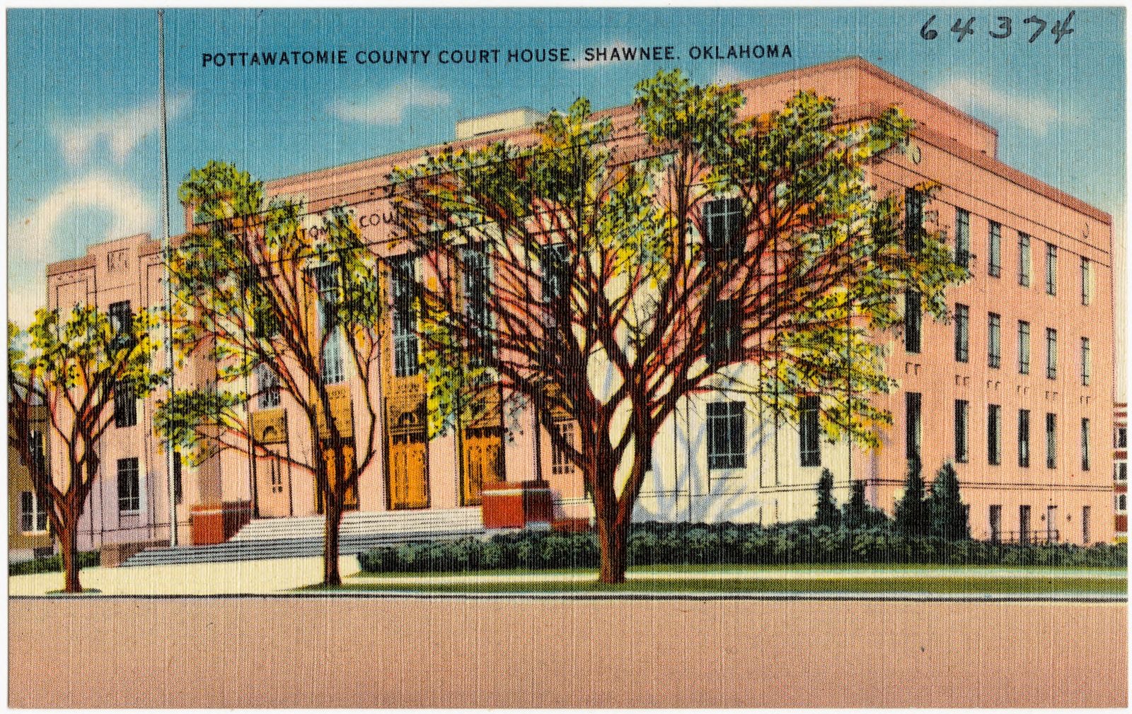
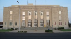 | Pottawatomie County Courthouse | building | 1984 | 84003424 |
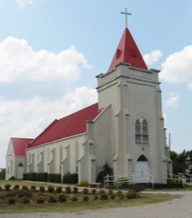 | Sacred Heart Mission Site | site | 1983 | 83002125 |
 | Santa Fe Depot | building | 1974 | 74001667 |
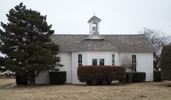 | Shawnee Friends Mission | building | 1973 | 73001569 |
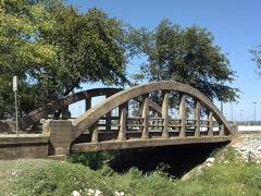 | Squirrel Creek Bridge | structure | 2010 | 10000625 |
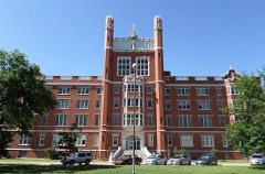 | St. Gregory's Abbey and College | building | 1975 | 75001572 |
| State National Bank Building | building | 2020 | 100005083 | |
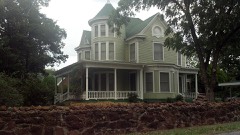 | Walker House | building | 1983 | 83002126 |
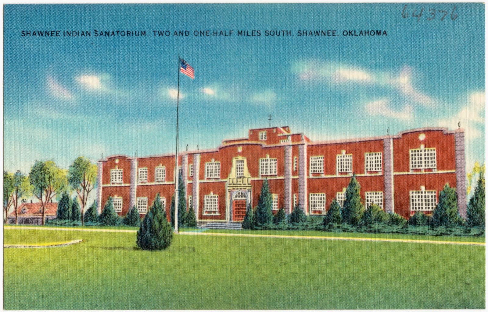
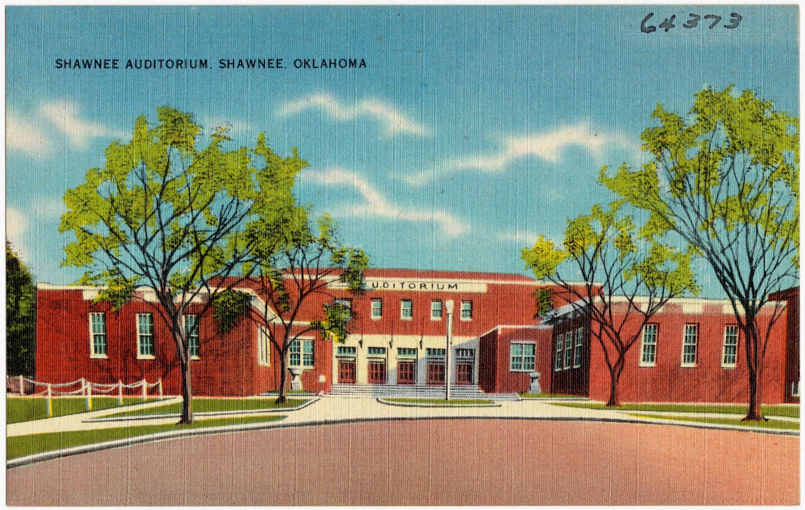
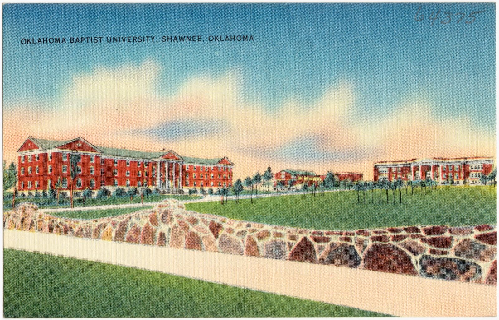
Selected from the Digital Public Library of America's 4 image records catalogued for this county. Every one shown here carries a public-domain status or a licence that permits reuse on a site that carries advertising; non-commercial, share-alike and restricted images are excluded. The selection is spread across the county's towns (at most eight per town), so no single institution's bulk upload crowds out the rest. Each opens the holding library's record, and the complete set at the Digital Public Library of America is one click away.
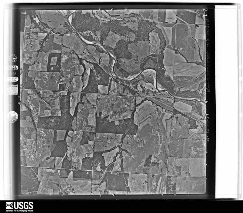
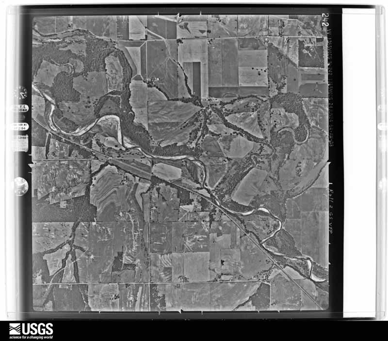
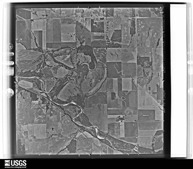
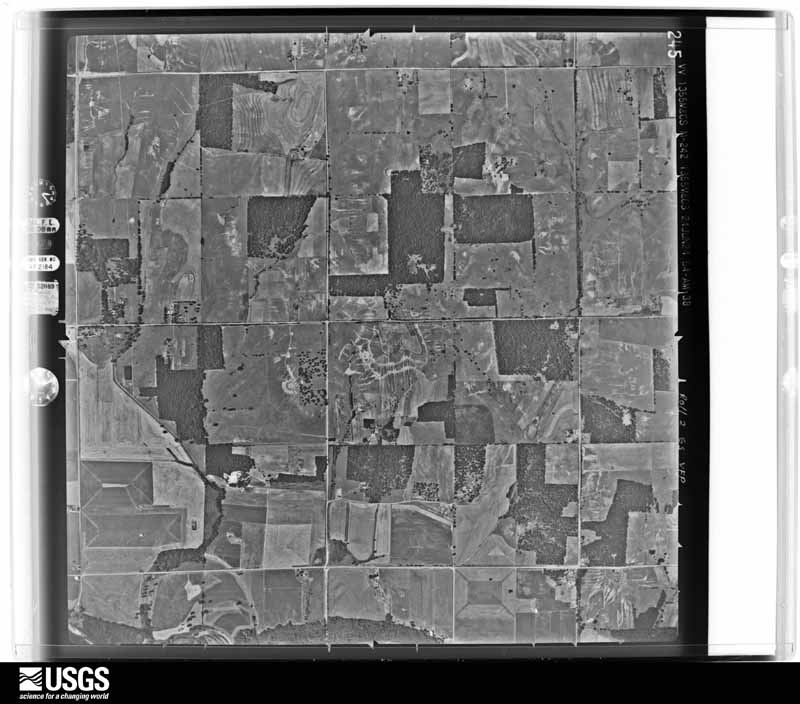
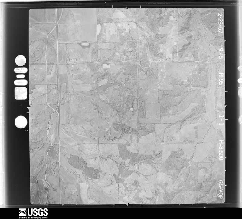
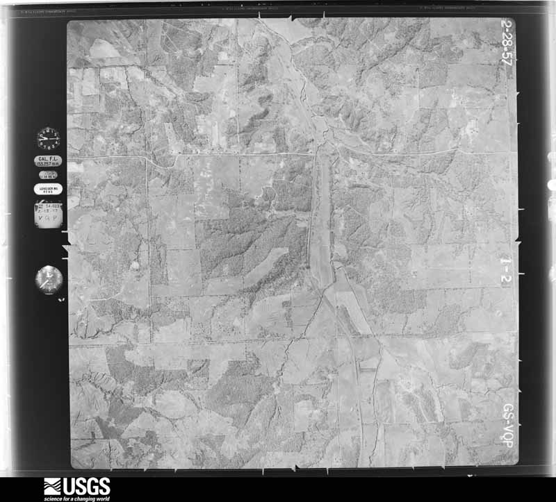
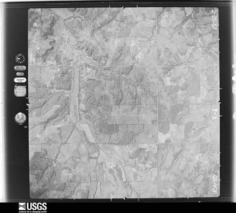
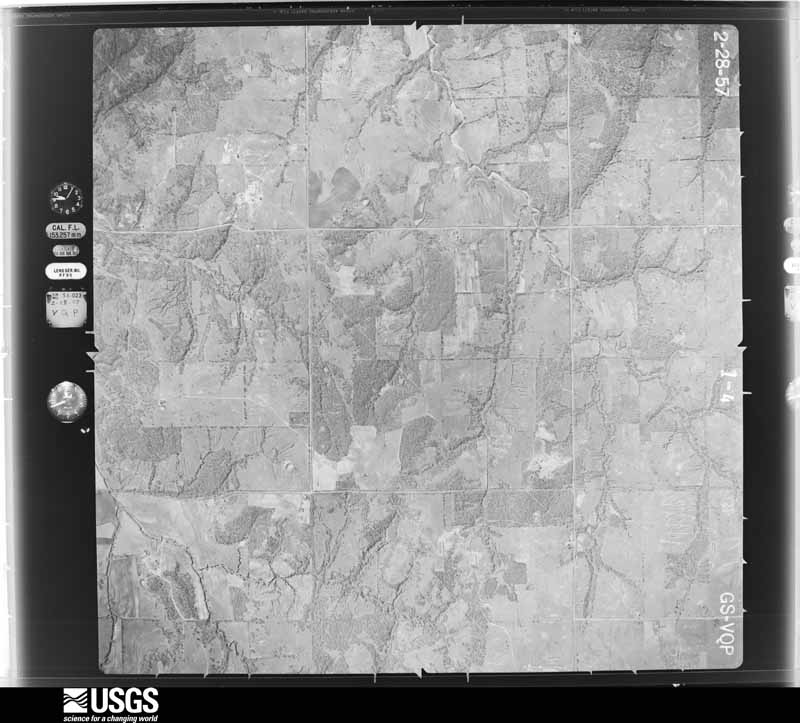
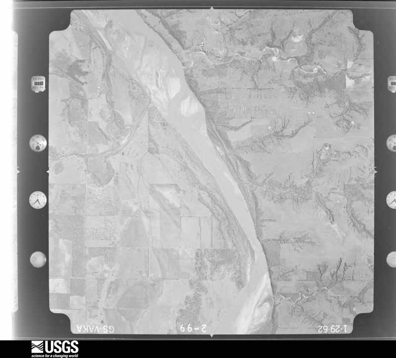
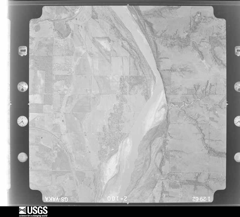
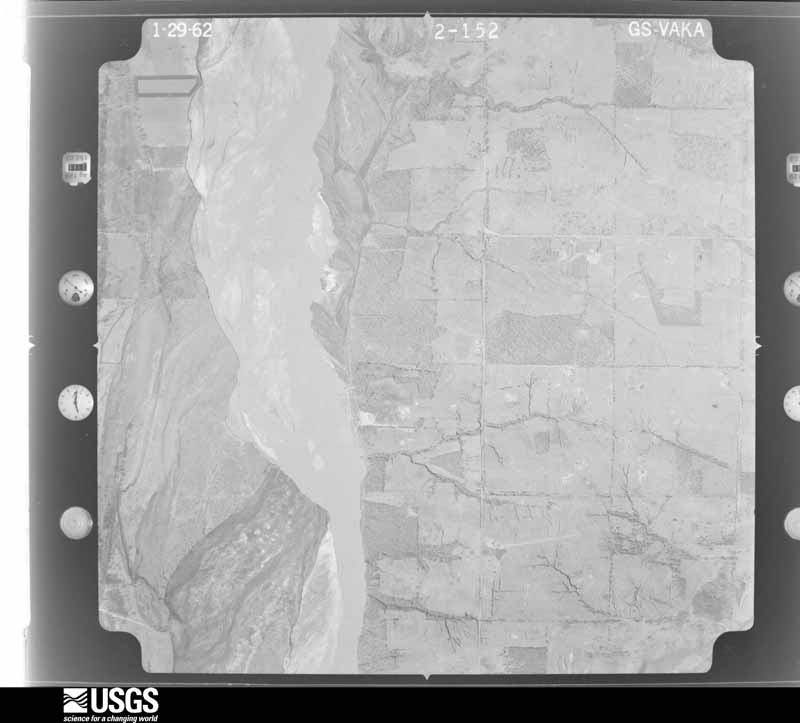
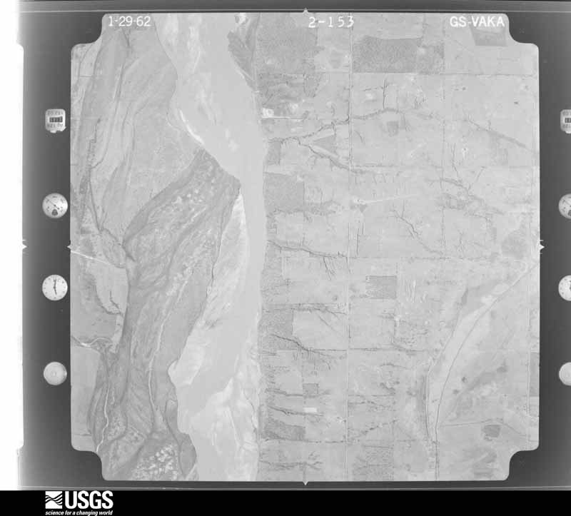
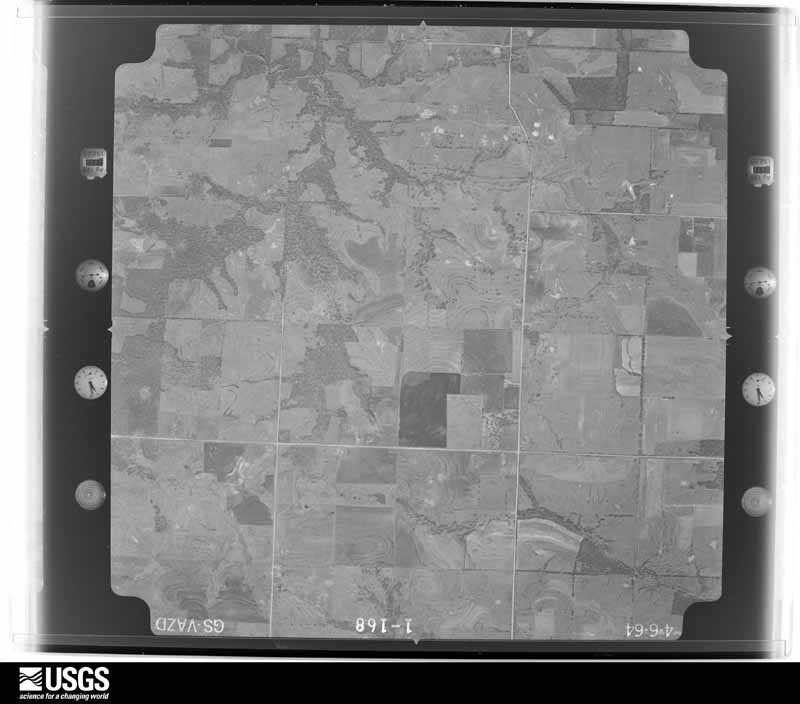
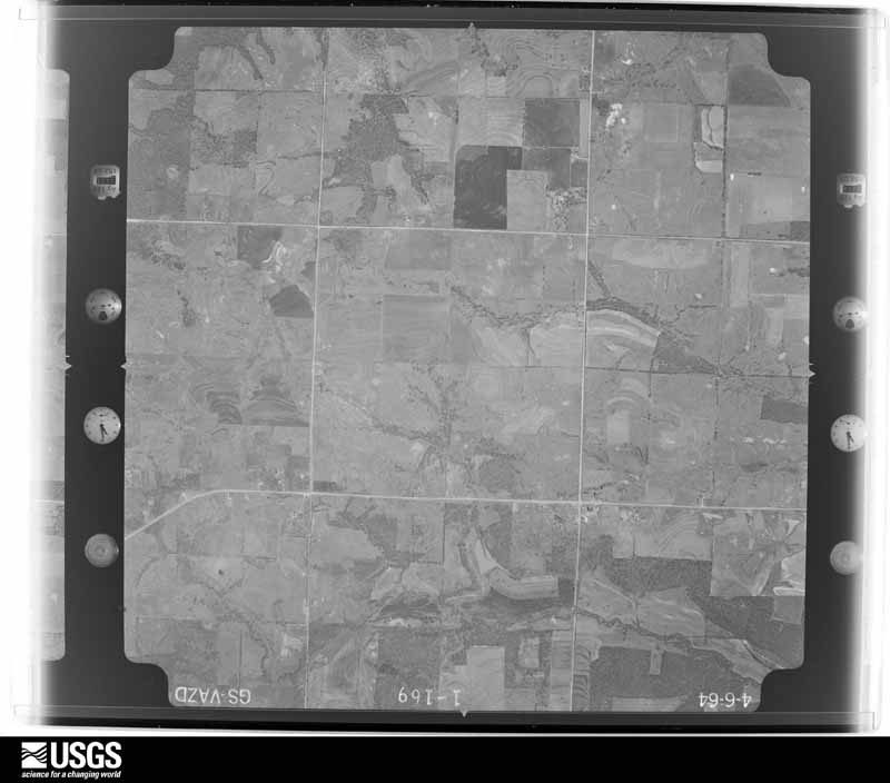
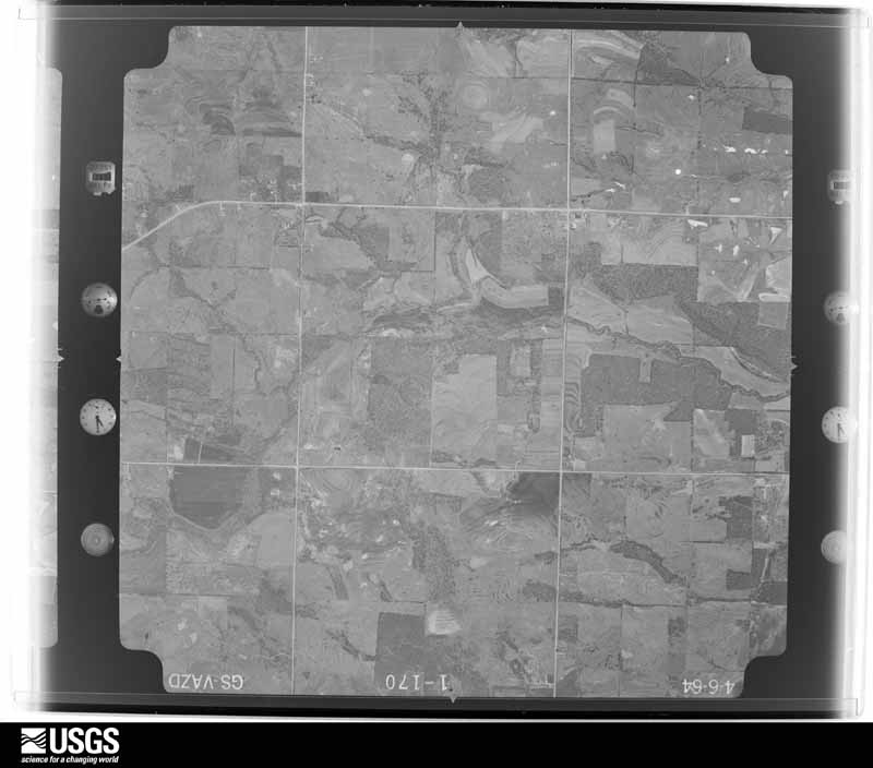
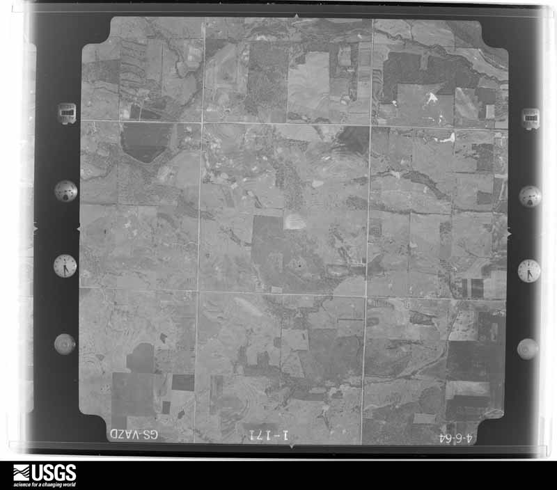
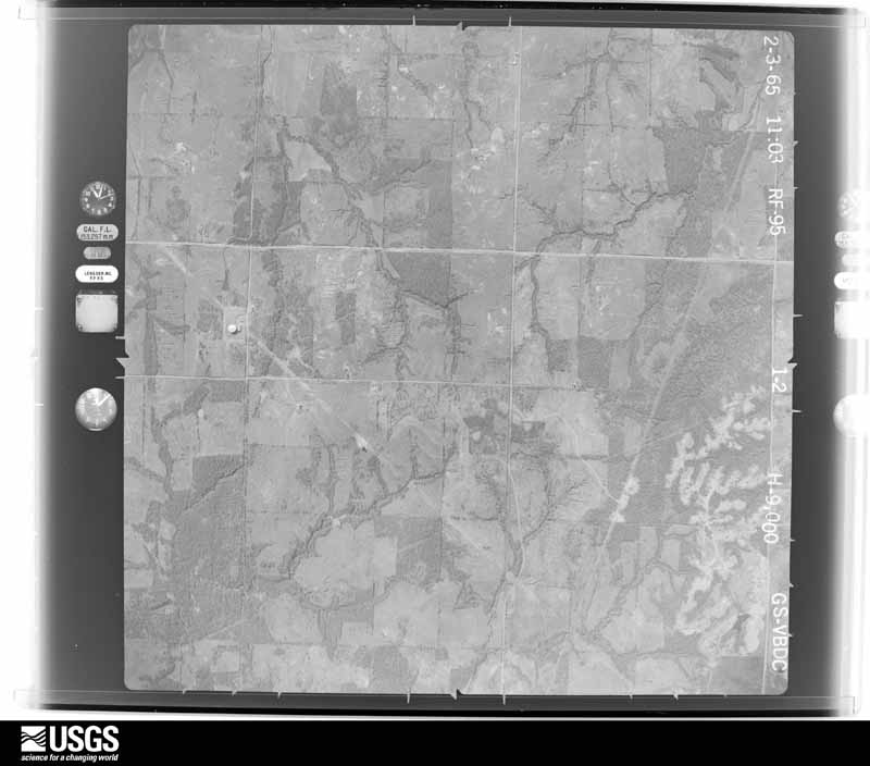
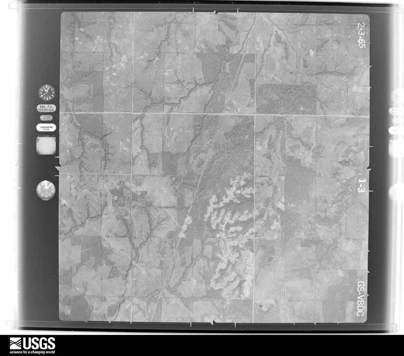
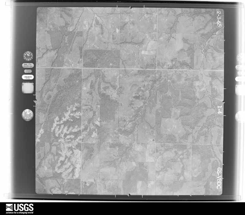
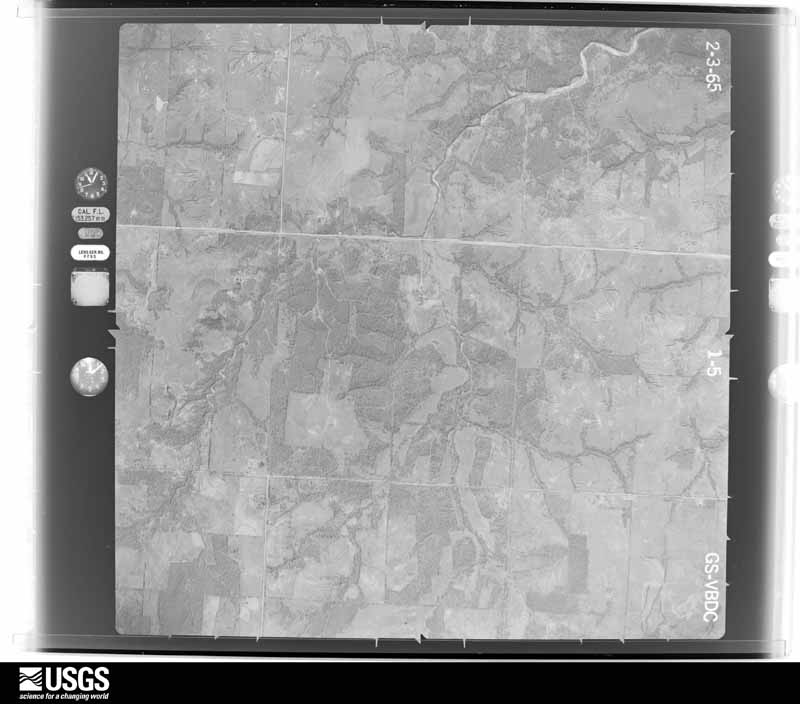
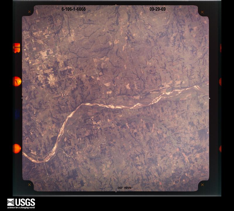
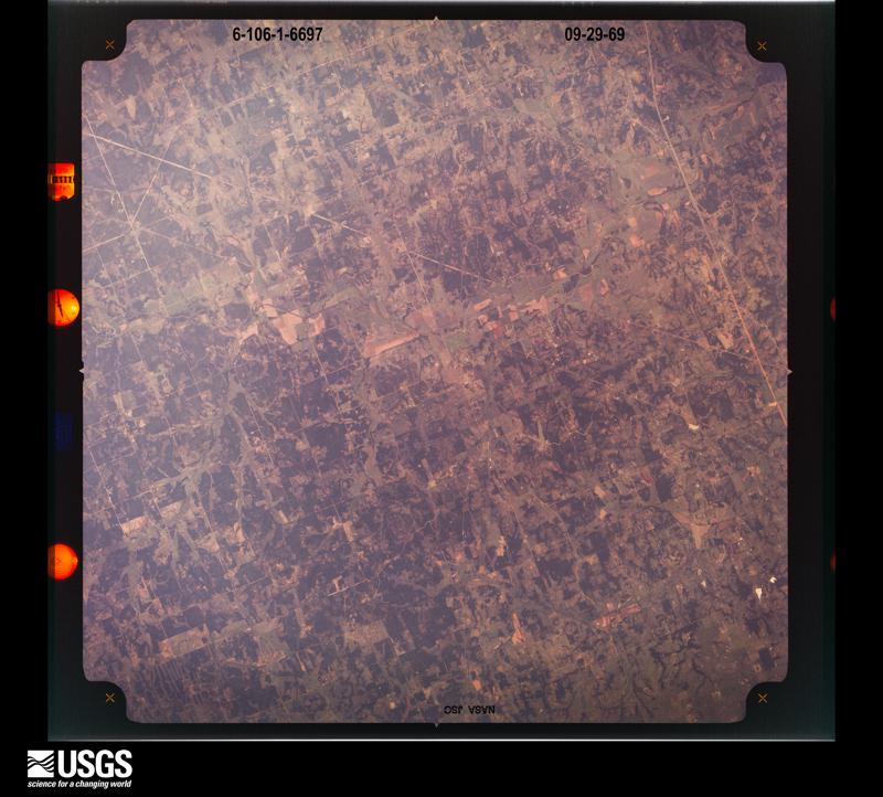
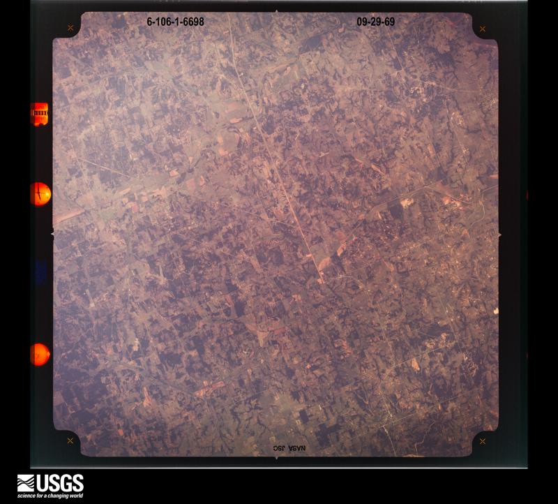
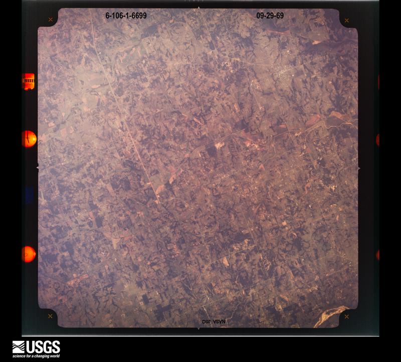
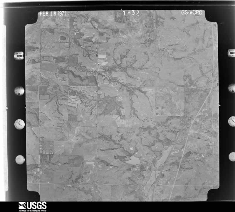
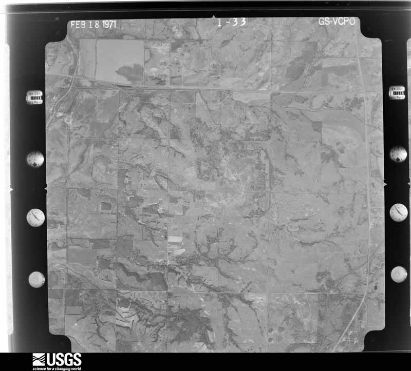
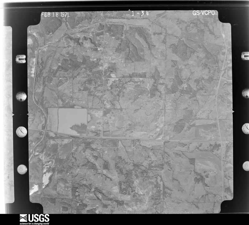
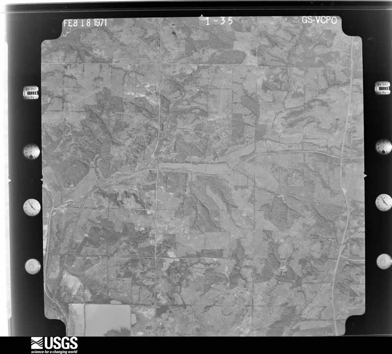
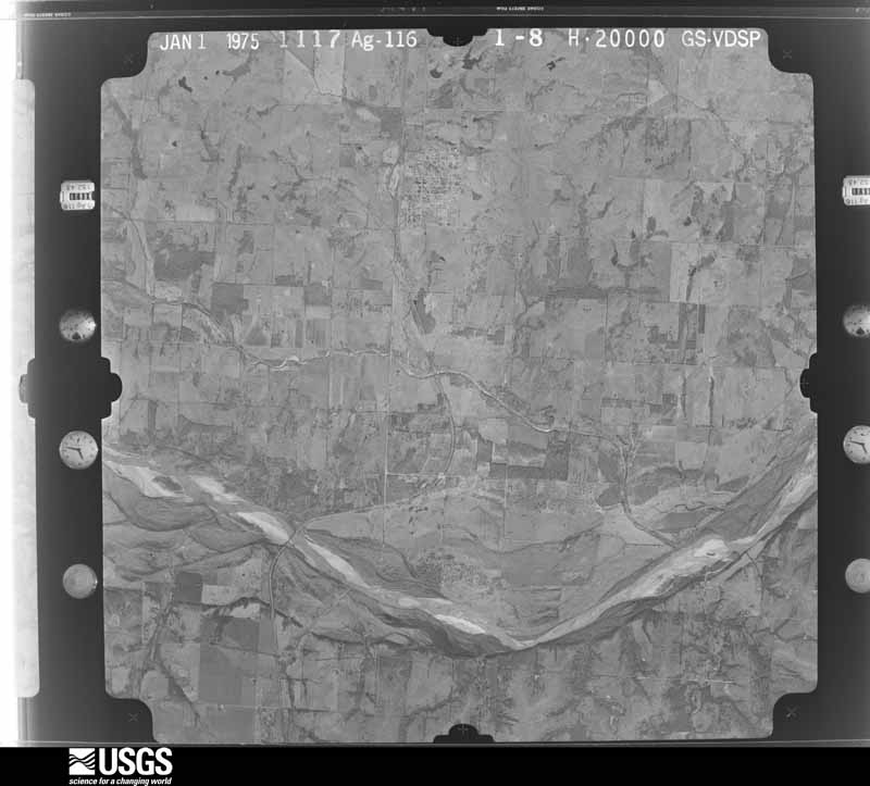
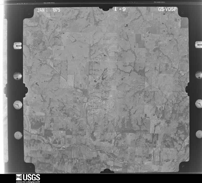
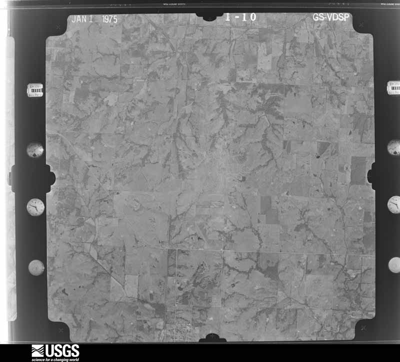
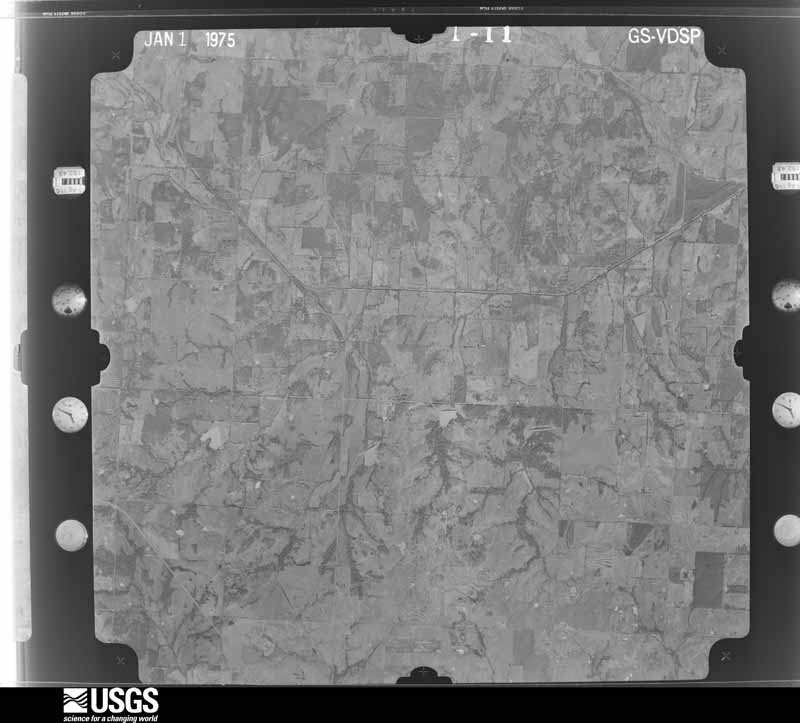
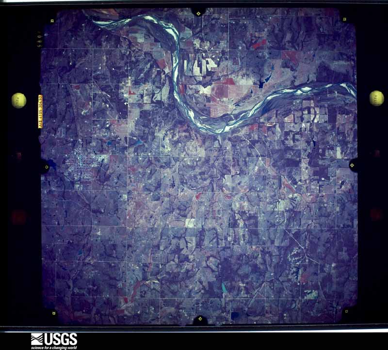
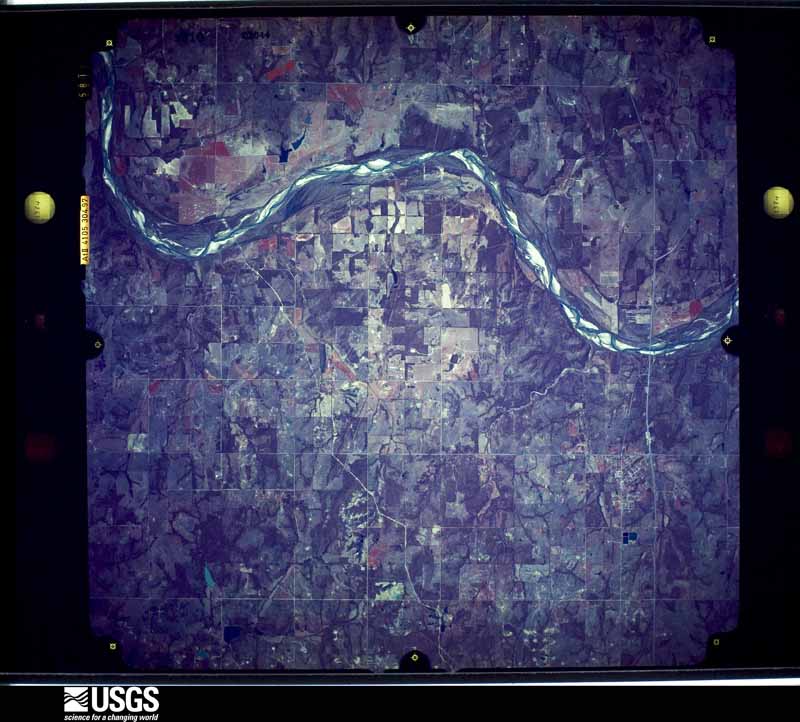
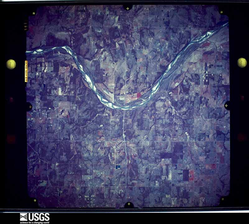
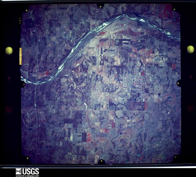
Flown by the U.S. Geological Survey between 1937 and 1989, the Aerial Photo Single Frames collection is the definitive mid-century view of the land: fields, roads and rivers as the camera saw them. The Survey holds 1,279 frames inside the rectangle that bounds this county; the 36 frames below were taken over the county itself, chosen across the decades of flights (at most four a year from that rectangle), so one flight cannot crowd out the rest. The full set is free to browse and download at EarthExplorer under the dataset Aerial Photo Single Frames.
The thermometers that kept this county's weather, and the gages that measured the flow of its streams, as the federal records hold them. The extremes below are measured values from those records, not estimates.
Who lived here in 1950, one enumeration district at a time, as the Census Bureau described each district. Each row opens its official National Archives result, with Population Schedules and ED Maps available there.
Every wildfire the federal occurrence database records inside this county: 94 of them, burning about 6,971 acres. 1 started naturally and 11 were recorded as arson. Each settlement page carries the fires within five miles of it.
| Reported cause | Fires |
|---|---|
| Missing data/not specified/undetermined | 38 |
| Debris and open burning | 25 |
| Equipment and vehicle use | 14 |
| Arson/incendiarism | 11 |
| Fireworks | 2 |
| Power generation/transmission/distribution | 2 |
| Misuse of fire by a minor | 1 |
| Natural | 1 |
The five largest, by the area the report gives. One of them was set deliberately.
| Date | Cause | Size | Reported by | Name on the report |
|---|---|---|---|---|
| 30 January 2016 | Missing data/not specified/undetermined | 1,183 acres | Oklahoma Division of Forestry | TURKEY HILL |
| 15 March 2006 | Missing data/not specified/undetermined | 600 acres | Pawnee Agency | BURNETTE |
| 19 March 2017 | Missing data/not specified/undetermined | 512 acres | Oklahoma Division of Forestry | BRIAR CREEK |
| 1 January 2006 | Missing data/not specified/undetermined | 400 acres | Oklahoma Division of Forestry | BETHEL FIRE |
| 29 December 2016 | Missing data/not specified/undetermined | 232 acres | Oklahoma Division of Forestry | ROCK ROAD FIRE |
| 10 August 2012 | Equipment and vehicle use | 230 acres | Southern Plains Regional Office | MULLIN |
| 14 February 1996 | Arson/incendiarism | 225 acres | Chickasaw Agency | OILCENTER |
| 31 January 2006 | Missing data/not specified/undetermined | 214 acres | Oklahoma Division of Forestry | BETHEL 2 |
Every settlement page carries the fires within five miles of it - see the settlement index below.
The NOAA Storm Events Database holds 712 reports for this county, causing 12 deaths, 159 injuries and about $46,640,390 in recorded property damage. Each settlement page carries the reports that name it.
| Kind of event | Reports |
|---|---|
| Hail | 359 |
| Thunderstorm Wind | 203 |
| Tornado | 95 |
| Flash Flood | 35 |
| Flood | 10 |
| Lightning | 9 |
| Heavy Rain | 1 |
The most serious of them, by death, then injury, then recorded damage. The accounts are quoted exactly as the forecast office filed them.
| When | Event | Place named | Harm | What the report says |
|---|---|---|---|---|
| October 1970 | Tornado (F4) | not stated | 4 killed, 80 hurt, $25,000,000 | no account filed |
| September 1957 | Tornado (F4) | not stated | 2 killed, 6 hurt, $250,000 | no account filed |
| May 2013 | Tornado (EF4) | Pink | 2 killed, 6 hurt | The large tornado moved east-northeast into Pottawatomie County then curving northeast as it approached State Highway 102. The tornado moved through a mobile home park north of Independence Road after crossing State Highway 102. Just northeast of the mobile home park, a permanent home was destroyed with much of the debris blown well to the northeast. It continued northeast crossing Interstate 40 near the intersection of US-177, then curved north-northeast finally dissipating near Wolverine Road and Coker Road. One fatality occurred in the mobile home park, and another man was killed in his vehicle. |
| May 1999 | Tornado (F2) | Shawnee | 1 killed, 10 hurt, $500,000 | Tornado D2. See summary at end of May 3rd storm reports. |
| April 2025 | Flash Flood | Macomb | 1 killed, 1 hurt, $100,000 | Significant roadway flooding occurred near the intersection of Oklahoma Highways 102 and 59B due to water rise from both the Little River and Sand Creek. Emergency management and broadcast media reported multiple water rescues near this intersection. A man drowned when his car was swept off the road by floodwaters. A responding law enforcement officer was injured as well. Event time is approximate, and residual flooding is likely to have occurred beyond the listed end time. |
| June 2015 | Flash Flood | Macomb | 1 killed, $20,000 | An 80 year old woman was found dead in a partially submerged car near Macomb Thursday night. Law enforcement reported that it appeared the woman ignored barricades and attempted to drive through the water. |
| July 2016 | Flash Flood | Pink | 1 killed, $10,000 | A 49 year old woman was traveling on a rural road near Pink, OK when her car was swept of the road by floodwaters, resulting in a direct fatality. The car was found in the creek soon after, but her body was not found until the following Tuesday. |
| May 2011 | Tornado (EF2) | Dale | 32 hurt | Tornado D3 (McLoud tornado.) A tornado developed west-southwest of the intersection of Fishmarket Road and Memorial Road to the south-southwest of McLoud. The tornado moved east-northeast where a telephone company building lost it's roof, and a number of sheds were damaged and causing tree damage as it crossed the intersection and Fishmarket and Memorial roads. Extensive tree damage continued northeast of this intersection, at least one home suffered the destruction of an attached garage and a few homes suffered roof and window damage. The tornado turned north-northeast crossing Interstate 40 near the Walker Road bridge where it struck and semi truck, lifting and destroying the trailer, lofting the pieces to the north. The tornado dissipated soon after crossing Interstate 40. Although the tornado was very narrow, the rotational velocity of the tornado was observed to be very strong. Monetary damage estimates were not available. |
| May 1981 | Tornado (F3) | not stated | 6 hurt, $250,000 | no account filed |
| September 1957 | Tornado (F2) | not stated | 3 hurt, $250,000 | no account filed |
| September 1998 | Thunderstorm Wind | Shawnee | 3 hurt, $35,000 | no account filed |
| May 1965 | Tornado (F2) | not stated | 3 hurt, $25,000 | no account filed |
| May 2010 | Tornado (EF3) | Dale | 3 hurt | This tornado is labeled #L1. The tornado developed near the junction of Walker and Ingram Roads, causing major damage to home and damaging several trees. The tornado crossed to the east side of the lake, downing high tension power lines and another residence. The tornado grew to its widest near Highway 102. Another home, a mobile home, and barn were severely damaged just east of the highway. Metal poles that were embedded in concrete at the barn were ripped out of the ground with the concrete still attached. A 80,000 pound box car was rolled about 300 yards. A few trees that were damaged were debarked. The tornado lifted south of Interstate 40. |
| May 2010 | Tornado (EF3) | Tecumseh | 2 hurt | This tornado lasted for at least 30 miles and continued into Seminole and Okfuskee counties, with significant damage along almost its entire path. At times, the tornado damage path widened up to a mile. The most significant damage was located north and northeast of Earlsboro near the Pottawatomie/Seminole county border. Here a two story home was destroyed except for a few interior walls. A pick-up truck was also lofted approximately a quarter of a mile, and a semi-trailer was lofted or rolled approximately 200 yards. Farther east along its path, seven high tension towers were downed. Significant tree damage was reported along the entire track of the tornado, some of them debarked and stripped off all their branches. This tornado is labeled #J4.||This tornado moved into Seminole County. |
| October 1998 | Tornado (F3) | Shawnee | 1 hurt, $1,500,000 | no account filed |
| September 2001 | Thunderstorm Wind | Mc Loud | 1 hurt, $35,000 | Two mobile homes were destroyed, while minor damage, consisting mostly of broken or blown off roof shingles, occurred to four permanent dwellings. Minor damage was also sustained to four other mobile homes. A 3-year old boy, residing in one of the mobile homes that was destroyed, sustained serious injuries. |
| February 1961 | Tornado (F2) | not stated | 1 hurt, $25,000 | no account filed |
| December 1953 | Tornado (F1) | not stated | 1 hurt, $2,500 | no account filed |
| April 2023 | Tornado (EF2) | Tecumseh | $4,000,000 | The Shawnee Tornado was the seventeenth tornado of this outbreak. This large, mulitple-vortex tornado initially developed near New Hope Road and Gaddy Road just southeast of Bethel Acres. It moved northeast quickly become a large tornado with a width of up to 1.3 miles. The tornado moved northeast into Shawnee, then turned north moving through western and northern portions of Shawnee with damage at Oklahoma Baptist University, areas near the Shawnee Mall near Interstate 40 and Kickapoo Street, and numerous locations in Shawnee. The large tornado continued north and north-northwest producing damage along both Kickapoo Street and Leo Road all the way north to the Lincoln County line. The tornado moved into Lincoln County just west of Kickapoo Street and dissipated soon after. |
| May 1960 | Tornado (F5) | not stated | $2,500,000 | no account filed |
| May 1954 | Tornado (F4) | not stated | $2,500,000 | no account filed |
| October 1998 | Thunderstorm Wind | Shawnee | $1,500,000 | no account filed |
| August 2019 | Lightning | Shawnee | $1,000,000 | Large 10,000 sq. ft. home was struck by lightning and burned down as thunderstorms moved through the area. Time of strike and damage costs estimated. |
| October 1998 | Thunderstorm Wind | Shawnee | $1,000,000 | no account filed |
| August 1993 | Thunderstorm Wind | 3 W Maud | $500,000 | Isolated thunderstorms late on the 3rd produced strong winds which downed 16, 80-foot transmission poles, destroyed three barns, damaged roofs, overturned a mobile home and damaged numerous trees from 1 to 3 miles west of Maud. A fire from a lightning strike resulted in $200,000 in damage to home under construction in Edmond. |
| February 2023 | Tornado (EF2) | Aydelotte | $250,000 | This tornado developed just north of the Shawnee Mall on the north side of Shawnee and raced to the north-northeast creating tree damage and damage to a pivot irrigator. Several power poles were damaged along Wolverine Road near Harrison Avenue before the tornado turned northeast moving through a neighborhood near Moccassin Trail Road and Bryan Road. Several homes in this neighborhood had significant roof damage with at least one home losing its entire roof. The tornado continues producing tree, power pole, fence and outbuilding damage before crossing into Lincoln County near Brangus Road. |
| August 2007 | Flash Flood | Tecumseh | $250,000 | A couple of feet of water covered the wastewater treatment plant. Several outlets, fans, and pumps were damaged as a result. The Tecumseh High School had one inch of water in several classrooms. Five feet of water accumulated at Broadway and Tecumseh. Water was over the vehicle roofs near the US 177 interchange. Five residences received minor flood damage. A couple of residents had to be rescued from their home, as well as 5 people from their vehicles due to the high water. Numerous streets were flooded in Shawnee as well due to the high water. The southern portions of Pottawatomie county had extensive fence damage due to baled hay and other debris being washed through them. Numerous roads were closed in Bethel Acres, Pink, Brooksville, Macomb, and Wannette. In Earlsboro, one woman and two children had to be rescued from their vehicle at Kings Road. No injuries were reported at any location. Monetary damages were estimated. |
| March 2002 | Thunderstorm Wind | Shawnee | $250,000 | The roofs of four buildings at Remington Place Apartments were blown off, affecting 56 residences. |
| March 1990 | Tornado (F2) | not stated | $250,000 | no account filed |
| November 1985 | Tornado (F1) | not stated | $250,000 | no account filed |
| April 1979 | Tornado (F2) | not stated | $250,000 | no account filed |
| May 1977 | Tornado (F2) | not stated | $250,000 | no account filed |
| May 1968 | Tornado (F3) | not stated | $250,000 | no account filed |
| May 1960 | Tornado (F4) | not stated | $250,000 | no account filed |
| May 1957 | Tornado (F2) | not stated | $250,000 | no account filed |
| May 2022 | Tornado (EF2) | Earlsboro | $200,000 | This tornado touched down initially just southeast of the town of Earlsboro and made a looping path striking Earlsboro. The tornado initially moved northeast, then north about one-half mile west of the Pottawatomie-Seminole County line, then turned northwest and west along and north of Bob Crouch Road to the northeast of Earlsboro. The tornado then moved southeast and south across the east side of Earlsboro moving down Willie Stargell Avenue. The most significant damage was near the end of the path a mobile home, metal buildings and a outbuilding were destroyed. |
| May 2015 | Flash Flood | Brooksville | $200,000 | Flood waters have risen into several area homes. |
| May 2007 | Thunderstorm Wind | Shawnee | $200,000 | The roof was blown off of a building at Gordon Cooper Vo-Tech. Trees were also downed over Firelake Golf Course and numerous large limbs were snapped. At least one power pole was snapped. Six tribal buildings sustained minor damage, including the Citizen Pottawatomi Cultural Heritage Center. A door and the air conditioning unit were damaged at the Unity Health Center. Seven homes sustained minor damage, with a tree falling on one of the houses. Monetary damages were estimated. |
| May 1999 | Tornado (F1) | Shawnee | $200,000 | Tornado D3 (Pottawatomie County portion). See summary at end of May 3rd storm reports. |
| April 2026 | Tornado (EF1) | Aydelotte | $150,000 | A few minutes after the tornado near Dale dissipated, a separate circulation was noted on radar, which tightened and moved to the south and southeast. This tornado likely began northwest of the Leo Avenue and Wolverine Road intersection. While moving to the southeast, sporadic EF0 damage to trees was noted on Leo Avenue, north of Garretts Lake Road. EF1 damage was assessed to a gas station awning along Oklahoma State Highway 18 and Westech Road. |
| January 2026 | Tornado (EF1) | Shawnee | $100,000 | A tornado developed on the north side of Shawnee, just north of Shawnee Regional Airport. The tornado damaged one home moving through a neighborhood west of State Highway 3E, but damage was mostly to trees and fences. Crossing Interstate 40, a hotel received roof damage just east of Shawnee Mall, and a bread truck was blown over near a Wal Mart. Two businesses were damaged northeast of the hotel and just west of Harrison Avenue. At one business, a roof AC unit was damaged, garage doors were blown in, vehicle windows were broken, and trees and power lines were downed. The tornado dissipated near Harrison Avenue south of Garretts Lake Road. |
| April 2023 | Tornado (EF2) | Pink | $100,000 | The fourteenth tornado of the outbreak developed north of Pink southeast of the intersection of Walker Road and Waco Road, and moved north-northwest and then northwest before moving into Cleveland County south of Lake Road. In Pottawatomie County, a number of homes, mobile homes and a church were damaged by the tornado with at least one home where the entire roof was removed. |
| May 2022 | Tornado (EF0) | St Louis | $100,000 | A tornado developed under a strengthening supercell, first spotted as a narrow columnar condensation to the ground by media helicopter and storm chasers. The tornado likely formed about 4 miles west of Maud and then moved northeast. EF0 damage was found to trees on highway 9A 1.5 miles northwest of Maud. Other trees were damaged on Johnson Rd. Numerous greenhouses and storage sheds were damaged with debris being lofted east of Johnson Rd as observed by storm chasers and media helicopter about one mile northwest of Maud. The tornado weakened after moving north of Maud. |
| May 2015 | Flash Flood | Shawnee | $100,000 | Widespread flooding with numerous cars submerged in high water. |
| May 2015 | Flash Flood | Dale | $100,000 | Several stalled vehicles in flooded streets in and around Shawnee. |
| June 2007 | Flood | Shawnee | $100,000 | In Shawnee, 45th Street between West Bryant and East Harrison was closed due to high water. Forty-six single family homes and seven commercial buildings sustained major flood damage. About sixty homes were reported to have minor flood damage. Monetary damages were estimated. |
| February 2001 | Thunderstorm Wind | Maud | $100,000 | Twenty outbuildings and 4 barns received minor damage, while the walls of one home were heavily damaged. A tractor-trailer was also blown over. |
| January 2026 | Tornado (EF1) | Pink | $75,000 | This is a continuation of a tornado that developed in Cleveland County. After crossing Pottawatomie Road into Pottawatomie County, a number of large, dead trees were broken, a small outbuilding destroyed and a porch was damaged. Continuing northeast, an outbuilding was damaged along Fishmarket Road, and at least two homes received roof damage in the area between the Shawnee Twin Lakes. The tornado dissipated northeast of Homer Lane Road and Patterson Road between the lakes. |
| February 2023 | Tornado (EF1) | Dale | $75,000 | This tornado moved out of Cleveland County crossing Pottawatomie Road just southeast of 89th Street/Memorial Road. The tornado moved east-northeast producing tree damage, roof damage to a home and flipping an RV as it approached Interstate 40. The tornado continued to produce tree and power pole damage moving east and northeast before dissipating after crossing State Highway 270 just north of Garretts Lake Road. |
| May 1999 | Tornado (F1) | Pink | $75,000 | Tornado D1 (Pottawatomie County portion). See summary at end of May 3rd storm reports. The end point of this tornado was changed from 3 miles northeast of Pink to 2 miles north-northeast of Pink. Please refer to the original version of May Storm Data for more information. |
| October 1998 | Tornado (F1) | Shawnee | $75,000 | no account filed |
| May 2015 | Flash Flood | Shawnee | $60,000 | Numerous high water rescues with several vehicles underwater. |
| April 2023 | Tornado (EF1) | Dale | $50,000 | A tornado developed in Bethel Acres near Bethel Road south of Clear Pond Road, and moved north-northwest dissipating northwest of the intersection of Bethel Road and Lake Road. At least one home and two mobile homes were damaged, including one mobile home that was partially pushed over. This was the sixteenth tornado of the outbreak. |
| April 2023 | Tornado (EF3) | Pink | $50,000 | The twelfth tornado of the outbreak developed about 2 miles south-southeast of Pink. This tornado was very slow, moving only 0.6 mile in 5 minutes near the intersection of Okay Road and Willow View Road. A metal truss electric transmission tower collapsed in the tornado and is the source of the EF3 rating. The tornado also damaged at least two homes and numerous trees. |
| August 2006 | Thunderstorm Wind | Shawnee | $50,000 | Several trees were uprooted or damaged. Damage also occurred at an industrial park. Several semi-trucks were rolled over. One semi was destroyed when it rolled into a truck wash. The walls of the truck wash collapsed. The doors and roof to a steel building were also damaged. |
| December 1999 | Lightning | Shawnee | $50,000 | no account filed |
| April 1994 | Thunderstorm Wind | Tecumseh | $50,000 | no account filed |
| April 2001 | Tornado (F1) | Maud | $40,000 | This tornado caused structural damage to oil pumping and storage equipment approximately 2 miles southwest of Harjo and structural damage to trailer homes 1 mile west of Harjo. The beginning and ending times of this tornado were listed incorrectly in the original version of storm data. The beginning time should be 0200 CST, while the ending time should be 0206 CST. |
| October 1998 | Tornado (F1) | Shawnee | $40,000 | no account filed |
| April 2024 | Tornado (EF0) | Shawnee | $30,000 | A tornado developed southwest of US Highway 177 and Acme Road and moved northeast through the northwestern portion of Shawnee. A few homes had shingle damage and there were some sheds, fences, metal buildings, trees and power poles damaged along the path. |
The Survey's mineral resources record lists 45 workings inside this county. 9 still produce and 36 are closed or unrecorded. Each settlement page carries the workings within five miles of it.
| Commodity | Workings |
|---|---|
| Sand and Gravel, Construction | 45 |
The least common of them first, because a county's hundredth gravel pit says nothing its first ten did not.
| Where | Site | Commodity | Status | Recorded |
|---|---|---|---|---|
| Chancellor Pit | Sand and Gravel, Construction | Producer | ||
| Corff Sand & Gravel Co Gravel Pit | Sand and Gravel, Construction | Past Producer | ||
| Corff Sand & Gravel Co Gravel Pit | Sand and Gravel, Construction | Past Producer | ||
| Corff Sand and Gravel Co Gravel Pit | Sand and Gravel, Construction | Producer | ||
| Markwell Sand Co Sand Pit | Sand and Gravel, Construction | Past Producer | ||
| Unknown Gravel Pit | Sand and Gravel, Construction | Past Producer | ||
| Unknown Gravel Pit | Sand and Gravel, Construction | Past Producer | ||
| Unknown Gravel Pit | Sand and Gravel, Construction | Past Producer | ||
| Unknown Gravel Pit | Sand and Gravel, Construction | Past Producer | ||
| Unknown Gravel Pit | Sand and Gravel, Construction | Past Producer | ||
| Unknown Gravel Pit | Sand and Gravel, Construction | Past Producer | ||
| Unknown Gravel Pit | Sand and Gravel, Construction | Past Producer | ||
| Unknown Gravel Pit | Sand and Gravel, Construction | Past Producer | ||
| Unknown Gravel Pit | Sand and Gravel, Construction | Past Producer | ||
| Unknown Gravel Pit | Sand and Gravel, Construction | Past Producer | ||
| Unknown Gravel Pit | Sand and Gravel, Construction | Past Producer | ||
| Unknown Gravel Pit | Sand and Gravel, Construction | Past Producer | ||
| Unknown Gravel Pit | Sand and Gravel, Construction | Producer | ||
| Unknown Gravel Pit | Sand and Gravel, Construction | Past Producer | ||
| Unknown Gravel Pit | Sand and Gravel, Construction | Producer | ||
| Unknown Gravel Pit | Sand and Gravel, Construction | Past Producer | ||
| Unknown Gravel Pit | Sand and Gravel, Construction | Past Producer | ||
| Unknown Gravel Pit | Sand and Gravel, Construction | Past Producer | ||
| Unknown Gravel Pit | Sand and Gravel, Construction | Past Producer | ||
| Unknown Gravel Pit | Sand and Gravel, Construction | Past Producer | ||
| Unknown Gravel Pit | Sand and Gravel, Construction | Past Producer | ||
| Unknown Gravel Pit | Sand and Gravel, Construction | Producer | ||
| Unknown Gravel Pit | Sand and Gravel, Construction | Past Producer | ||
| Unknown Gravel Pit | Sand and Gravel, Construction | Past Producer | ||
| Unknown Gravel Pit | Sand and Gravel, Construction | Producer | ||
| Unknown Gravel Pit | Sand and Gravel, Construction | Past Producer | ||
| Unknown Gravel Pit | Sand and Gravel, Construction | Past Producer | ||
| Unknown Gravel Pit | Sand and Gravel, Construction | Past Producer | ||
| Unknown Gravel Pit | Sand and Gravel, Construction | Past Producer | ||
| Unknown Gravel Pit | Sand and Gravel, Construction | Past Producer | ||
| Unknown Gravel Pit | Sand and Gravel, Construction | Producer | ||
| Unknown Gravel Pit | Sand and Gravel, Construction | Producer | ||
| Unknown Gravel Pit | Sand and Gravel, Construction | Producer | ||
| Unknown Sand Pit | Sand and Gravel, Construction | Past Producer | ||
| Unknown Sand Pit | Sand and Gravel, Construction | Past Producer | ||
| Unknown Sand Pit | Sand and Gravel, Construction | Past Producer | ||
| Unknown Sand Pit | Sand and Gravel, Construction | Past Producer | ||
| Unknown Sand Pit | Sand and Gravel, Construction | Past Producer | ||
| Unknown Sand Pit | Sand and Gravel, Construction | Past Producer | ||
| Unknown Sand Pit | Sand and Gravel, Construction | Past Producer |
Named settlements recorded in the Geographic Names Information System, each with the topographic sheets covering it. Villages, hamlets and abandoned places alike. Each is shown with the nearest named watercourse or landform and the survey quadrangle it falls on. The 6 places that were also surveyed for fire insurance come first, with the number of atlases and photographs held for them.
Wanette-Asher census division · 74826 · Asher quadrangle
11 sheets, 1901 to 1990
Fire insurance: 2 atlases
Shawnee census division · 74801 · On Squirrel Creek · Shawnee quadrangle
15 sheets, 1896 to 1985
Fire insurance: 9 atlases
Shawnee census division · 74873 · Shawnee quadrangle
15 sheets, 1896 to 1985
Fire insurance: 10 atlases
Wanette-Asher census division · 74878 · On Hog Creek · Wanette quadrangle
15 sheets, 1898 to 1986
Fire insurance: 5 atlases
Shawnee census division · 74852 · On East Cottonwood Creek · Pearson quadrangle
15 sheets, 1896 to 1985
Shawnee census division · 74864 · On Provaznik Creek · Prague quadrangle
10 sheets, 1896 to 1985
Shawnee census division · 74804 · On North Deer Creek · McLoud quadrangle
13 sheets, 1898 to 1985
Shawnee census division · 74851 · On North Deer Creek · McLoud quadrangle
13 sheets, 1898 to 1985
Wanette-Asher census division · 74878 · On East Pond Creek · Eason quadrangle
13 sheets, 1898 to 1985
Shawnee census division · 74804 · On Painter Creek · Shawnee NE quadrangle
12 sheets, 1896 to 1985
Maud census division · 74854 · On Popshego Creek · Saint Louis quadrangle
14 sheets, 1896 to 1985
Shawnee census division · 74801 · On South Deer Creek · Shawnee Reservoir quadrangle
13 sheets, 1898 to 1985
Shawnee census division · 74864 · On Painter Creek · Shawnee NE quadrangle
12 sheets, 1896 to 1985
Maud census division · 74826 · On Opossum Creek · Pearson quadrangle
15 sheets, 1896 to 1985
Shawnee census division · 74873 · Shawnee quadrangle
15 sheets, 1896 to 1985
No longer a settlement
Wanette-Asher census division · 74878 · On Wolf Creek · Tribbey quadrangle
12 sheets, 1898 to 1985
The vanished settlements of Pottawatomie County: the places named above that are no longer on the map.
15 topographic sheets and 10 fire insurance atlases, 1894 to 1949
15 topographic sheets and 9 fire insurance atlases, 1896 to 1950
0 topographic sheets and 7 fire insurance atlases, 1904 to 1933
13 topographic sheets and 6 fire insurance atlases, 1904 to 1928
15 topographic sheets and 5 fire insurance atlases, 1904 to 1930
11 topographic sheets and 2 fire insurance atlases, 1919