 Block
From the record
4 National Register listings published here, 1 of them a National Historic Landmark.
Sources: the National Register database, National Park Service
45 topographic sheets and 4 fire insurance atlases across 2 places.
4 National Register listings published here, 1 of them a National Historic Landmark.
Sources: the National Register database, National Park Service
Taken for the Office of War Information and the Farm Security Administration, who photographed the country between 1935 and 1944. Works of United States government photographers, with no known restriction on use. Each opens its catalogue record.
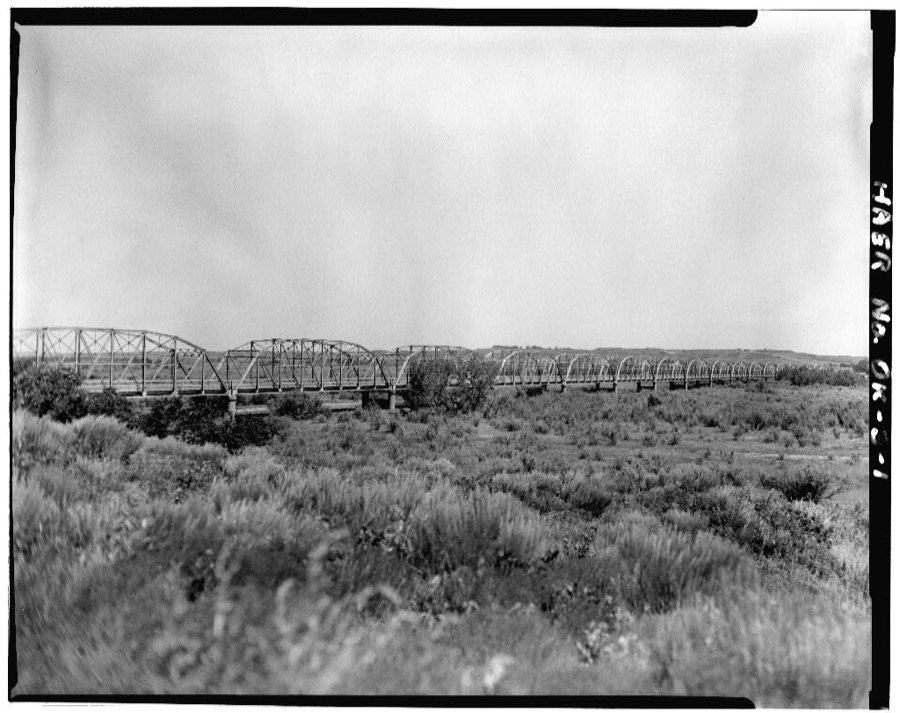
Every property in this county listed on the National Register of Historic Places, with the year it was listed and the federal nomination document.
| Photograph | Property | Type | Listed | Reference |
|---|---|---|---|---|
 | Antelope Hills | site | 1978 | 78002259 |
| Break O'Day Farm | district | 2005 | 05000616 | |
| Dorroh-Trent House | building | 1979 | 79002026 | |
 | Washita Battlefield National Historic Site | site | 1966 | 66000633 |
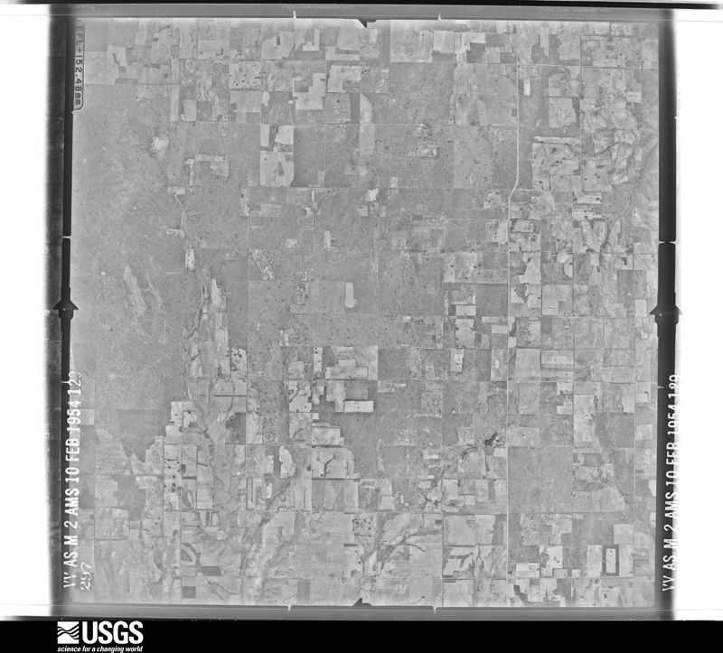
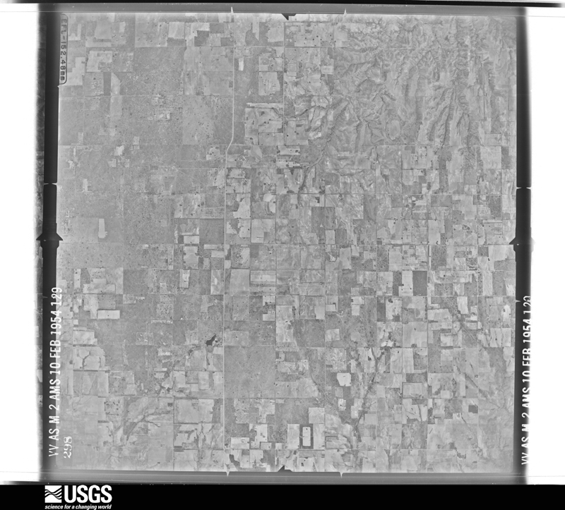
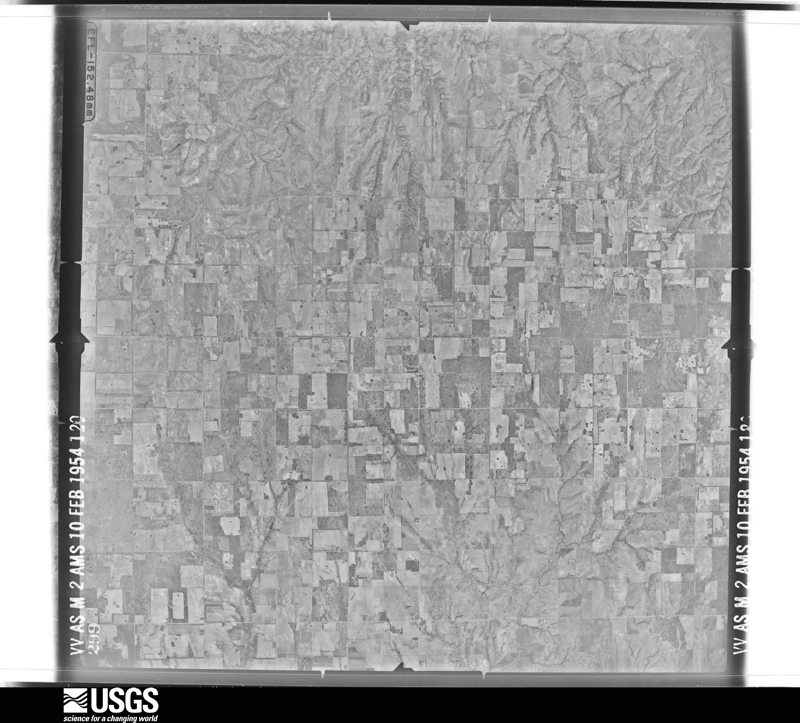
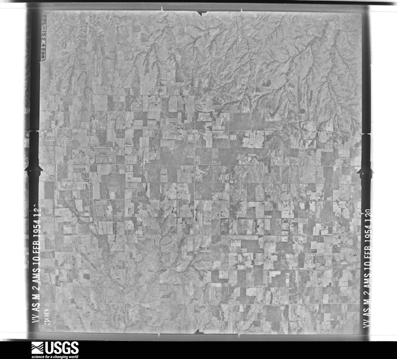
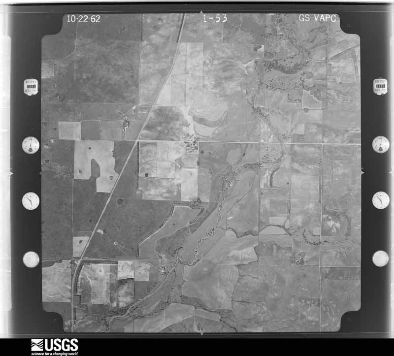
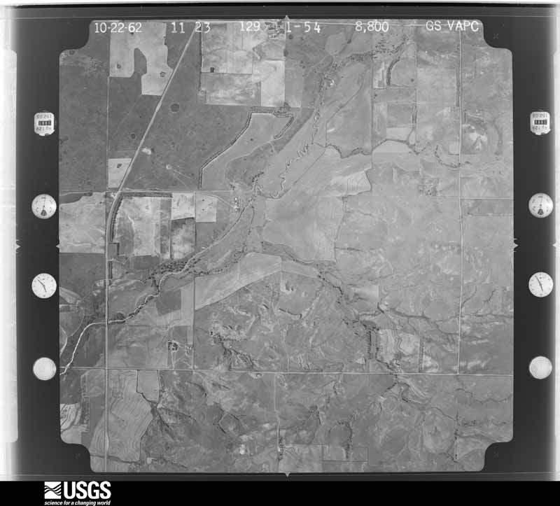
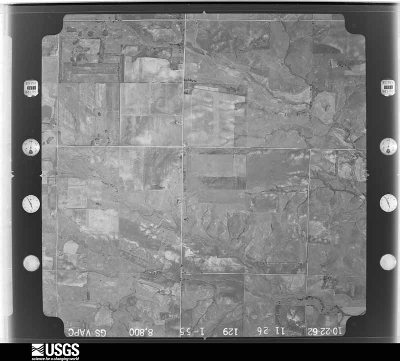
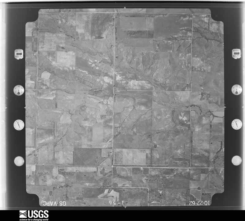
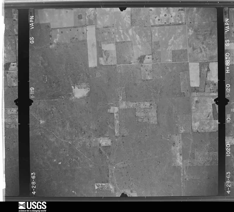
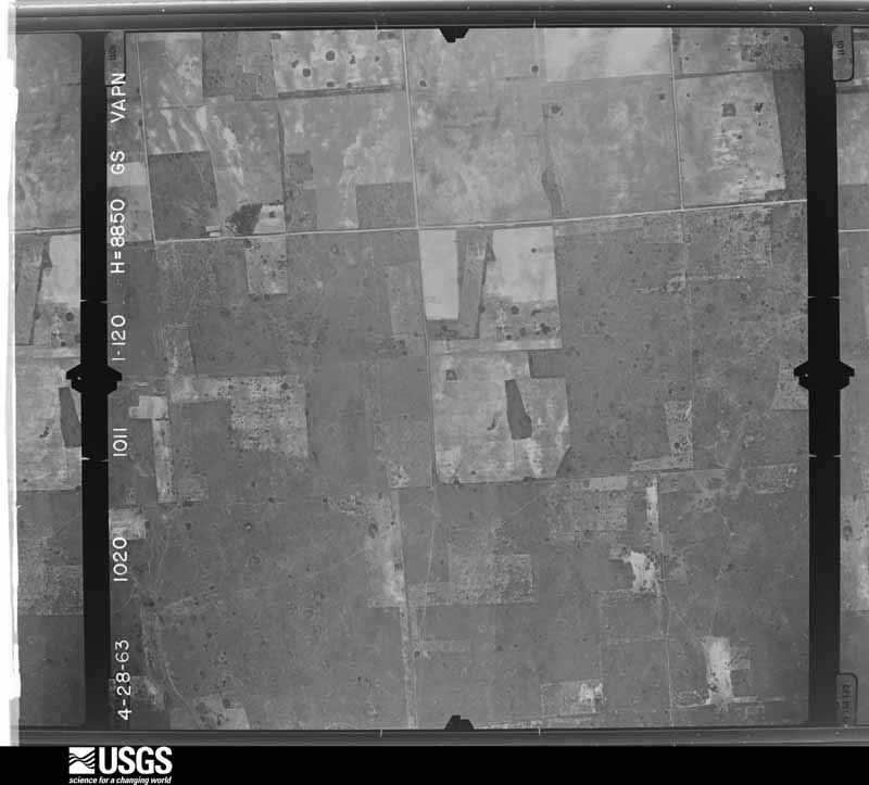
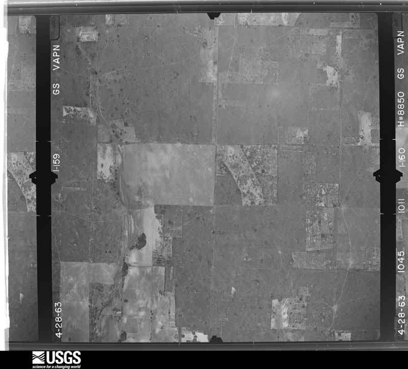
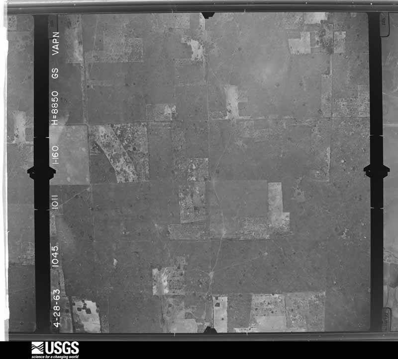
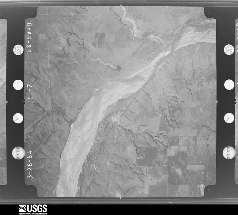
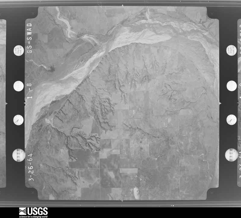
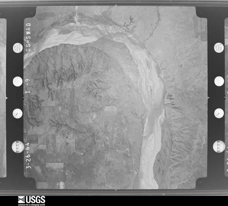
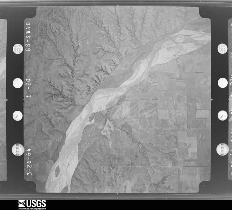
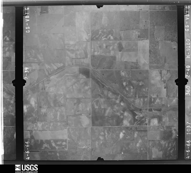
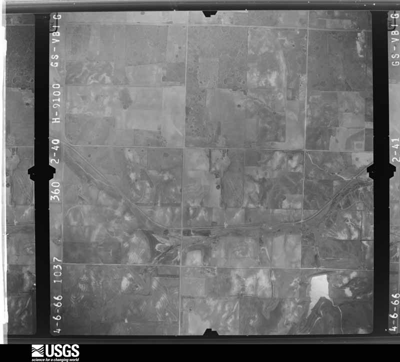
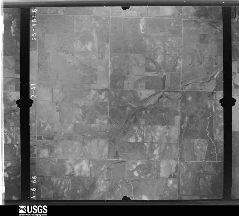
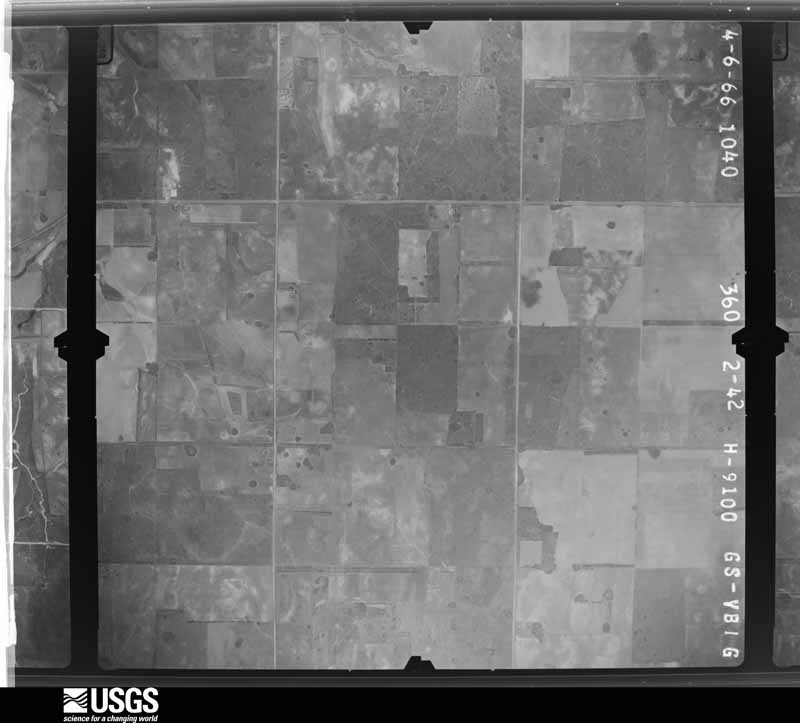
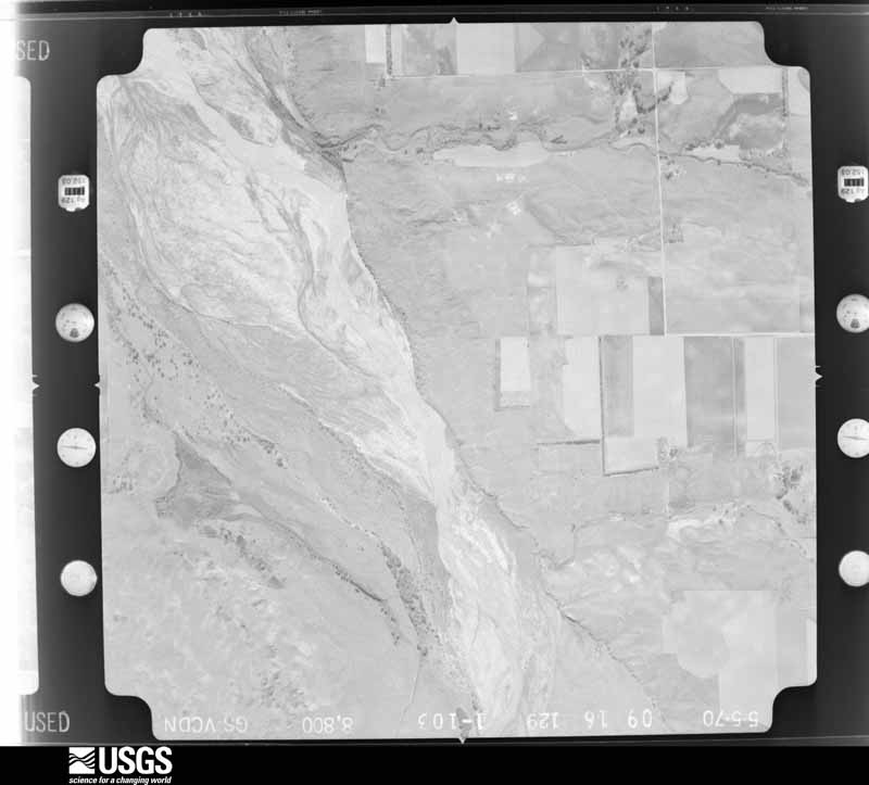
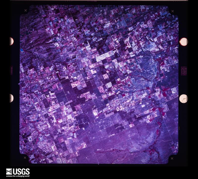
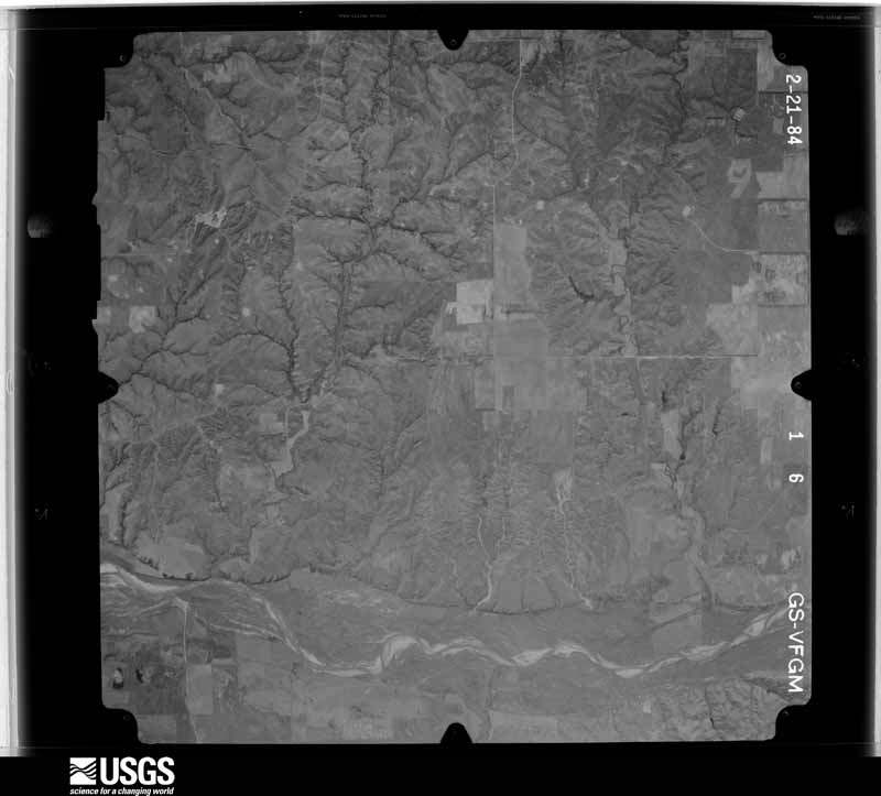
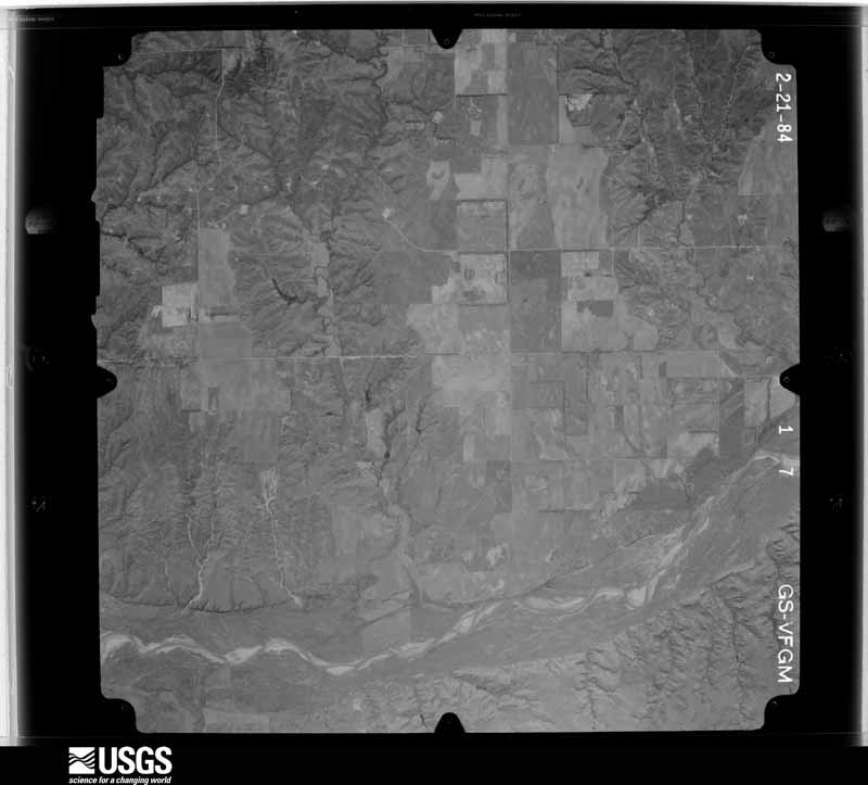
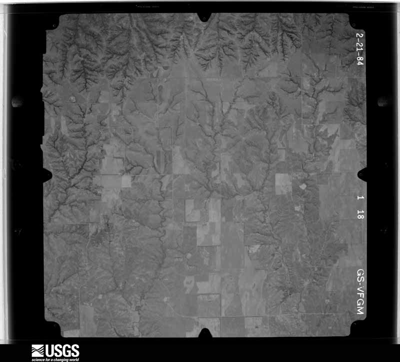
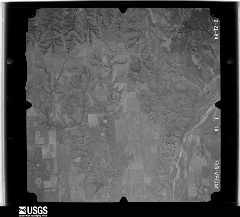
Flown by the U.S. Geological Survey between 1937 and 1989, the Aerial Photo Single Frames collection is the definitive mid-century view of the land: fields, roads and rivers as the camera saw them. The Survey holds 619 frames inside the rectangle that bounds this county; the 29 frames below were taken over the county itself, chosen across the decades of flights (at most four a year from that rectangle), so one flight cannot crowd out the rest. The full set is free to browse and download at EarthExplorer under the dataset Aerial Photo Single Frames.



The thermometers that kept this county's weather, and the gages that measured the flow of its streams, as the federal records hold them. The extremes below are measured values from those records, not estimates.
Who lived here in 1950, one enumeration district at a time, as the Census Bureau described each district. Each row opens its official National Archives result, with Population Schedules and ED Maps available there.
Every wildfire the federal occurrence database records inside this county: 221 of them, burning about 47,271 acres. 38 started naturally and 7 were recorded as arson. Each settlement page carries the fires within five miles of it.
| Reported cause | Fires |
|---|---|
| Equipment and vehicle use | 57 |
| Missing data/not specified/undetermined | 56 |
| Natural | 38 |
| Debris and open burning | 27 |
| Power generation/transmission/distribution | 21 |
| Arson/incendiarism | 7 |
| Recreation and ceremony | 7 |
| Smoking | 6 |
| Other causes | 1 |
| Misuse of fire by a minor | 1 |
The five largest, by the area the report gives. One of them was set deliberately.
| Date | Cause | Size | Reported by | Name on the report |
|---|---|---|---|---|
| 7 April 2006 | Missing data/not specified/undetermined | 21,400 acres | Oklahoma Division of Forestry | CHEYENNE FIRE |
| 12 April 2018 | Power generation/transmission/distribution | 7,257 acres | Cibola National Forest | SHAW |
| 25 March 1998 | Debris and open burning | 3,410 acres | Cibola National Forest | SHALLOW |
| 17 February 2009 | Arson/incendiarism | 2,400 acres | Cibola National Forest | ELENA |
| 12 April 2018 | Power generation/transmission/distribution | 2,000 acres | Cibola National Forest | UNIT 50 EAST/EAST REYDON FIRE |
| 7 April 2006 | Equipment and vehicle use | 1,000 acres | Cibola National Forest | SQUARE TOP |
| 2 March 2008 | Natural | 900 acres | Cibola National Forest | ROLL |
| 2 August 2011 | Power generation/transmission/distribution | 692 acres | Cibola National Forest | JUNCTION OK |
Every settlement page carries the fires within five miles of it - see the settlement index below.
The NOAA Storm Events Database holds 696 reports for this county, causing 3 deaths, 21 injuries and about $6,506,000 in recorded property damage. Each settlement page carries the reports that name it.
| Kind of event | Reports |
|---|---|
| Hail | 445 |
| Thunderstorm Wind | 181 |
| Tornado | 57 |
| Flash Flood | 8 |
| Heavy Rain | 2 |
| Funnel Cloud | 1 |
| Lightning | 1 |
| Flood | 1 |
The most serious of them, by death, then injury, then recorded damage. The accounts are quoted exactly as the forecast office filed them.
| When | Event | Place named | Harm | What the report says |
|---|---|---|---|---|
| May 1955 | Tornado (F4) | not stated | 2 killed, 8 hurt, $250,000 | no account filed |
| February 2023 | Tornado (EF2) | Cheyenne | 1 killed, 3 hurt, $250,000 | A tornado touched down just south of State Highway 47 and just southwest of the Cheyenne cemetery. The tornado initially moved east-southeast, then turned northeast moving through the northwestern portion of Cheyenne including a portion of the Washita Battlefield. A number of mobile homes were destroyed both west of Cheyenne and also along US-283 north of Cheyenne. Other homes were also damaged along the path. One fatality occurred in a mobile home that was destroyed. The tornado continued moving northeast damaging trees, power poles and at least one outbuilding southwest of and immediately west of Strong City before dissipating. A photograph from one of the destroyed mobile homes near Cheyenne was recovered near Lambert, OK in Alfalfa County, about 100 miles northeast of Cheyenne. |
| November 1973 | Tornado (F1) | not stated | 7 hurt, $250,000 | no account filed |
| June 1968 | Tornado (F2) | not stated | 2 hurt, $25,000 | no account filed |
| May 1980 | Tornado (F2) | not stated | 1 hurt, $2,500,000 | no account filed |
| March 2010 | Tornado (EF2) | Hammon | $1,000,000 | A relatively long track tornado touched down in a rural area to the southwest of Hammon, and then tracked to the northeast towards the town of Hammon. This tornado was on the ground for around 40 minutes, moving mainly over rural areas. Initially, the only damage from the tornado was snapped trees and power poles/lines. As the tornado tracked northeast near the end of the tornado track, the tornado clipped the southeastern edge of the town of Hammon. A couple of trailers, the county barn, and a home sustained major damage. Other buildings, trees, power lines/poles, and cars also received significant damage near and around the town of Hammon. The tornado moved into Custer County and finally dissipated to the northeast of Hammon. Monetary damages were estimated. |
| June 1995 | Tornado (F2) | Reydon | $500,000 | no account filed |
| May 2002 | Thunderstorm Wind | North Portion | $250,000 | Sporadic areas of significant straight-line wind damage accompanied a line of severe thunderstorms that moved through northern Roger Mills County between 2150-2300 CST. Approximately six miles northwest of Reydon, a barn was destroyed, and a house sustained broken windows. Three miles west of Durham, three barns were destroyed; shingles were blown off a house; the trunk of an 18-inch diameter tree was blown through the rear of a pickup truck, and a television antenna was blown over. Four miles northeast of Reydon, a well-anchored, double-wide mobile home was destroyed. Wind damage was also reported in Durham and Strong City. |
| May 1982 | Tornado (F2) | not stated | $250,000 | no account filed |
| May 1977 | Tornado (F3) | not stated | $250,000 | no account filed |
| May 2007 | Tornado (EF3) | Sweetwater | $150,000 | This is a continuation of the tornado that began in northern Beckham about 2 1/2 miles south of Sweetwater.||The tornado continued to produce damage as it moved north along Highway 30 into Sweetwater. The church and post office were damaged...as were several outbuildings and businesses. ||Damage continued for approximately 5 miles north of Sweetwater, with some substantial tree damage noted on the west side of Highway 30...and numerous power lines downed. ||The tornado appeared to have dissipated just south of E1040 road in southern Roger Mills County. Monetary damages were estimated. | |
| July 2025 | Thunderstorm Wind | Roll | $100,000 | A crane was blown over, landing on a nearby parked vehicle. The location is approximate, and the event time is estimated from radar observations. |
| May 2003 | Tornado (F1) | Sweetwater | $65,000 | This long track tornado began south of Kelton in Wheeler County, Texas and moved northeast crossing the state line approximately three-quarters of a mile north of Highway 152. This tornado was a half a mile wide when it crossed the state line. The tornado moved east-northeast before dissipating three miles north of Sweetwater. The tornado damaged a grain silo and mobile home just after crossing the state line. The next significant area of damage was three miles northwest of Sweetwater where the tornado went through a dairy farm. The hay barn, dairy barn, and another large barn were damaged or destroyed. A trailer was also destroyed. The roof of the frame house was removed. The tornado also injured three cows that eventually had to be put down. Shortly before dissipating the tornado ripped the roof off a church parsonage and damaged the Assembly of God Church that was nearby. |
| May 1998 | Thunderstorm Wind | Cheyenne | $54,100 | no account filed |
| April 2003 | Tornado (F1) | Reydon | $50,000 | A tornado was first reported by the Reydon Emergency Manager and viewed by several storm chasers. Shortly after forming, the tornado caused damage to several houses and downed power lines six to seven miles south-southeast of Reydon. The tornado moved to the northeast ten miles destroying four barns and a well house before dissipating. |
| May 2003 | Thunderstorm Wind | Cheyenne | $50,000 | Strong straight-line winds from a developing bow echo caused damage across the Cheyenne area. Several outbuildings were damaged or destroyed. A grain silo had the top ripped off. Several homes sustained shingle and roof damage, especially in southwest sections of town. The Cheyenne airport, Mignon Laird Municipal Airport, had several buildings destroyed or damaged along with six airplanes heavily damaged. The Cheyenne High School also sustained some roof damage. |
| December 1993 | Thunderstorm Wind | Cheyenne | $50,000 | no account filed |
| May 2017 | Tornado (EF2) | Reydon | $40,000 | Firefighters observed a tornado develop about 6 miles south of Reydon at 6:18 pm CDT. Power poles were snapped along SH-30. The roof of a barn was removed and additional power poles were snapped as the tornado moved northeast between SH-30 and SH-47. Numerous power poles were snapped near SH-47. The tornado moved northeast, then east-northeast snapping additional power poles, uprooting trees, took the roof off a ranch hotel, and turned over a 16-foot grain feeder that was full of grain. Damage costs are a rough estimate. |
| August 2016 | Flood | Hammon | $40,000 | Six inches of water was inside a church building. |
| June 2025 | Tornado (EF2) | Durham | $30,000 | This tornado moved into northwestern Roger Mills County from Ellis County and into the Antelope Hills region. As the tornado crossed County Roads N1760 and N1757, the tornado snapped many trees and partially debarked some. Two oil field outbuildings were also damaged in this area. Many trees were also snapped and uprooted nnear County Road N1780 and a few power poles were snapped. The tornado then turned south-southeast and damaged more trees and a barn after crossing County Road E0785. The tornado dissipated soon after this. |
| June 2001 | Flash Flood | Angora | $25,000 | Numerous thunderstorms, which produced heavy rain for several hours across northwest Oklahoma, resulted in six inches of rain in about one hour, one mile east of Angora in Roger Mills County, where many dirt roads were completely washed out. |
| May 1982 | Tornado (F1) | not stated | $25,000 | no account filed |
| May 1964 | Tornado (F2) | not stated | $25,000 | no account filed |
| May 1961 | Tornado (F2) | not stated | $25,000 | no account filed |
| April 1954 | Tornado (F2) | not stated | $25,000 | no account filed |
| June 2003 | Flash Flood | Strong City | $20,000 | Unofficial rainfall totals up to 10 inches were observed, causing Nine Mile Creek to overtop its banks and flood croplands, farm implements, and low-lying rural roads. |
| April 1999 | Hail | Hammon | $20,000 | no account filed |
| May 2012 | Thunderstorm Wind | Reydon | $15,000 | A steel framed barn of 18 by 16 feet was blown apart with debris scattered up to 400 feet. This wind gust was generated in a heat burst outside of the parent thunderstorm. Monetary damages estimated. |
| May 2024 | Tornado (EF0) | Strong City | $10,000 | Multiple storm chasers reported observing a tornado northwest of Hammon. An mPing report was received of damage along County Road N1970, and Roger Mills County Emergency Management reported damage to a barn and trees near the intersection of E0920 and N1982 Roads. |
| June 2008 | Thunderstorm Wind | Cheyenne | $10,000 | Power lines and large trees were downed near the junction of US Highway 283 and State Highway 33. Monetary damages were estimated. |
| April 2003 | Tornado (F1) | Angora | $10,000 | Spotters reported a brief tornado five miles west of Angora crossing Highway 47. This tornado uprooted several large trees before dissipating. |
| June 1999 | Thunderstorm Wind | Reydon | $10,000 | no account filed |
| June 2005 | Thunderstorm Wind | Reydon | $7,500 | The roof was blown off a picnic pavilion at Skipout Lake. |
| April 2024 | Tornado (EF1) | Strong City | $5,000 | This is the first tornado of a large outbreak across Oklahoma and north Texas that occurred on April 27. The Roger Mills County Emergency Manager provided information about tree damage observed to the east-northeast of Strong City. |
| May 2024 | Tornado (EF0) | Strong City | $5,000 | Roger Mills County Emergency Management reported a compressor shed was damaged near the intersection of County Roads N1940 and E0870. |
| May 2024 | Tornado (EF0) | Roll | $5,000 | Two storm chasers on different sides of the thunderstorm observed a brief tornado to the east-southeast of Roll. Roger Mills County Emergency Management reported a barn damaged near County Road N1890 to the south of State Highway 47. |
| June 2023 | Thunderstorm Wind | Hammon | $5,000 | Power line damage reported in the community of Hammon. Time is radar estimated. |
| September 2021 | Thunderstorm Wind | Hammon | $5,000 | Several areas of damage reported, including large tree limbs downed, damage to the siding of a house, power lines downed, sheet metal siding of a barn ripped off, and a weakly built garage destroyed. |
| August 2018 | Thunderstorm Wind | Roll | $5,000 | Barn was blown over and trees reported downed. Time estimated by radar. |
| May 2016 | Thunderstorm Wind | Strong City | $5,000 | Six to eight inch diameter tree branches broken. |
| May 2016 | Thunderstorm Wind | Hammon | $5,000 | Several power lines were downed. |
| November 2012 | Hail | Durham | $5,000 | Quarter to golf ball sized hail was reported in Durham. The hail resulted in damage to several home windows. |
| September 2008 | Hail | Reydon | $5,000 | The hail broke a couple of windows at a residence. Monetary damages were estimated. |
| August 2008 | Thunderstorm Wind | Reydon | $5,000 | Four to five inch diameter tree limbs were blown down. Monetary damages were estimated. |
| May 2007 | Tornado (EF1) | Roll | $5,000 | A third tornado from the southern tornadic supercell occurred from southwest of Roll that initially moved north-northwest, then curved northeast to the northwest of Roll. A shed and well house were destroyed near the initial touchdown of the tornado about 6 miles southwest of Roll. The tornado moved north-northeast on the north side of a creek valley and caused damage to trees and fences along the path. A mobile home suffered minor damage and a barn was destroyed about 6 miles west-southwest of Roll as the tornado turned to a more northerly motion. The tornado then turned to the northeast and caused major damage to an unoccupied house south-southwest of Roll, and another as it passed 2 to 2.5 miles west of Roll. The last damage observed from this tornado was about 2.5 miles northwest of Roll where trees and fences were damaged. |
| May 2007 | Tornado (EF1) | Roll | $5,000 | A tornado touched down in far northern Roger Mills county, and moved northeast crossing the Canadian River into Ellis County. Some tree damage was noted about 4.5 miles north-northeast of Roll in Roger Mills County. This is the fourth tornado in Oklahoma from the southern supercell. Monetary damages were estimated. |
| June 2005 | Thunderstorm Wind | Reydon | $5,000 | The wind blew a barn door off. |
| July 2003 | Hail | Crawford | $5,000 | Hail damaged siding on a house. |
| August 1994 | Thunderstorm Wind | Hammon | $5,000 | no account filed |
| May 1993 | Thunderstorm Wind | Angora | $5,000 | no account filed |
| May 2002 | Lightning | Cheyenne | $4,000 | Lightning struck a tree, then traveled along a metal fence, into a water line, and damaged numerous appliances and a computer in a home. |
| May 2015 | Thunderstorm Wind | Roll | $3,000 | Several trees uprooted. Time estimated from radar. |
| June 2006 | Thunderstorm Wind | Herring Station | $2,500 | Power lines were downed near the river. |
| May 1998 | Thunderstorm Wind | Cheyenne | $2,500 | no account filed |
| May 1980 | Tornado (F1) | not stated | $2,500 | no account filed |
| May 1959 | Tornado (F2) | not stated | $2,500 | no account filed |
| June 1952 | Tornado (F1) | not stated | $2,500 | no account filed |
| June 1952 | Tornado (F1) | not stated | $2,500 | no account filed |
| June 2023 | Thunderstorm Wind | Crawford | $2,000 | Tree damage and broken windows reported in the community of Crawford. Time is radar estimated. |
| May 2017 | Thunderstorm Wind | Reydon | $2,000 | Power poles downed by winds. |
The Survey's mineral resources record lists 12 workings inside this county. None of them still produces: all are closed or unrecorded. Each settlement page carries the workings within five miles of it.
| Commodity | Workings |
|---|---|
| Sand and Gravel, Construction | 11 |
| Clay | 1 |
The least common of them first, because a county's hundredth gravel pit says nothing its first ten did not.
| Where | Site | Commodity | Status | Recorded |
|---|---|---|---|---|
| Unknown Shale Pit | Clay | Past Producer | ||
| Unknown Gravel Pit | Sand and Gravel, Construction | Past Producer | ||
| Unknown Gravel Pit | Sand and Gravel, Construction | Past Producer | ||
| Unknown Gravel Pit | Sand and Gravel, Construction | Past Producer | ||
| Unknown Gravel Pit | Sand and Gravel, Construction | Past Producer | ||
| Unknown Gravel Pit | Sand and Gravel, Construction | Past Producer | ||
| Unknown Gravel Pit | Sand and Gravel, Construction | Past Producer | ||
| Unknown Gravel Pit | Sand and Gravel, Construction | Past Producer | ||
| Unknown Gravel Pit | Sand and Gravel, Construction | Past Producer | ||
| Unknown Gravel Pit | Sand and Gravel, Construction | Past Producer | ||
| Unknown Gravel Pit | Sand and Gravel, Construction | Past Producer | ||
| Unknown Gravel Pit | Sand and Gravel, Construction | Past Producer |
Named settlements recorded in the Geographic Names Information System, each with the topographic sheets covering it. Villages, hamlets and abandoned places alike. Each is shown with the nearest named watercourse or landform and the survey quadrangle it falls on. The 2 places that were also surveyed for fire insurance come first, with the number of atlases and photographs held for them.
Cheyenne census division · 73628 · On Dry Creek · Cheyenne quadrangle
11 sheets, 1955 to 1998
Fire insurance: 2 atlases
East Roger Mills census division · 73650 · Hammon quadrangle
8 sheets, 1955 to 1990
Fire insurance: 2 atlases
East Roger Mills census division · 73628 · On Sandstone Creek · Herring quadrangle
11 sheets, 1955 to 1998
Cheyenne census division · 73628 · On Wild Horse Creek · Strong City quadrangle
11 sheets, 1955 to 1998
11 topographic sheets and 2 fire insurance atlases, 1930
8 topographic sheets and 2 fire insurance atlases, 1930
The complete index, with nothing left out. Each of these is a separate record with its own page: a federal survey report, or the case file that argued a property on to the National Register. Both are public domain and reproduced word for word.