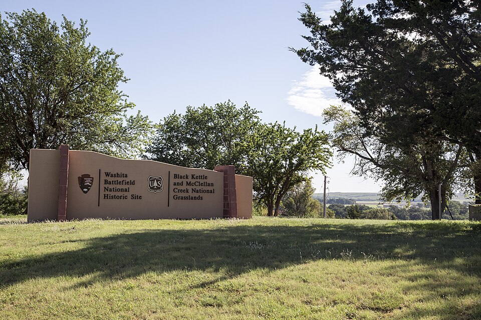
| February 2023 | Tornado (EF2) | Cheyenne | 1 killed, 3 hurt, $250,000 | A tornado touched down just south of State Highway 47 and just southwest of the Cheyenne cemetery. The tornado initially moved east-southeast, then turned northeast moving through the northwestern portion of Cheyenne including a portion of the Washita Battlefield. A number of mobile homes were destroyed both west of Cheyenne and also along US-283 north of Cheyenne. Other homes were also damaged along the path. One fatality occurred in a mobile home that was destroyed. The tornado continued moving northeast damaging trees, power poles and at least one outbuilding southwest of and immediately west of Strong City before dissipating. A photograph from one of the destroyed mobile homes near Cheyenne was recovered near Lambert, OK in Alfalfa County, about 100 miles northeast of Cheyenne. |
| May 1998 | Thunderstorm Wind | Cheyenne | $54,100 | no account filed |
| May 2003 | Thunderstorm Wind | Cheyenne | $50,000 | Strong straight-line winds from a developing bow echo caused damage across the Cheyenne area. Several outbuildings were damaged or destroyed. A grain silo had the top ripped off. Several homes sustained shingle and roof damage, especially in southwest sections of town. The Cheyenne airport, Mignon Laird Municipal Airport, had several buildings destroyed or damaged along with six airplanes heavily damaged. The Cheyenne High School also sustained some roof damage. |
| December 1993 | Thunderstorm Wind | Cheyenne | $50,000 | no account filed |
| June 2008 | Thunderstorm Wind | Cheyenne | $10,000 | Power lines and large trees were downed near the junction of US Highway 283 and State Highway 33. Monetary damages were estimated. |
| May 2002 | Lightning | Cheyenne | $4,000 | Lightning struck a tree, then traveled along a metal fence, into a water line, and damaged numerous appliances and a computer in a home. |
| May 1998 | Thunderstorm Wind | Cheyenne | $2,500 | no account filed |
| March 2000 | Thunderstorm Wind | Cheyenne | $2,000 | Outbuildings were destroyed. |
| May 1998 | Thunderstorm Wind | Cheyenne | $2,000 | no account filed |
| June 2020 | Thunderstorm Wind | Cheyenne | $500 | Two large doors blown in on a county barn. |
| June 2005 | Thunderstorm Wind | Cheyenne | $500 | Two to three inch diameter tree limbs were downed. |
| May 1998 | Thunderstorm Wind | Cheyenne | $200 | no account filed |
| March 2026 | Hail | Cheyenne | - | The location is approximate. |
| March 2026 | Thunderstorm Wind | Cheyenne | - | Cheyenne (CHEY) Mesonet observation. This event was caused by a probable heat burst. |
| March 2026 | Thunderstorm Wind | Cheyenne | - | Cheyenne (CHEY) Mesonet observation. This event was caused by a probable heat burst. |
| March 2026 | Thunderstorm Wind | Cheyenne | - | Cheyenne (CHEY) Mesonet observation. This event was caused by a probable heat burst. |
| April 2026 | Hail | Cheyenne | - | The location is approximate, and the event time is estimated based on radar observations. |
| April 2026 | Hail | Cheyenne | - | The location is approximate. |
| June 2025 | Thunderstorm Wind | Cheyenne | - | An estimated wind gust. The location is approximate. |
| April 2024 | Hail | Cheyenne | - | MPing report. |
| June 2023 | Thunderstorm Wind | Cheyenne | - | Cheyenne (CHEY) Mesonet observation. |
| June 2023 | Thunderstorm Wind | Cheyenne | - | Cheyenne (CHEY) Mesonet observation. |
| June 2023 | Thunderstorm Wind | Cheyenne | - | Cheyenne (CHEY) Mesonet observation. |
| July 2023 | Thunderstorm Wind | Cheyenne | - | Cheyenne (CHEY) Mesonet observation. |
| July 2023 | Thunderstorm Wind | Cheyenne | - | Cheyenne (CHEY) Mesonet observation. |
| June 2022 | Hail | Cheyenne | - | Time estimated from radar. |
| June 2020 | Thunderstorm Wind | Cheyenne | - | Estimated severe wind gust. |
| June 2020 | Thunderstorm Wind | Cheyenne | - | Also reported tree damage on the south side of town, and power flashes on the north side of town. |
| September 2016 | Thunderstorm Wind | Cheyenne | - | No damage reported. |
| April 2015 | Hail | Cheyenne | - | No known damage. |
| April 2015 | Hail | Cheyenne | - | No known damage. |
| April 2015 | Thunderstorm Wind | Cheyenne | - | No known damage. |
| April 2015 | Hail | Cheyenne | - | No damage reports. |
| April 2015 | Hail | Cheyenne | - | No damage reports. |
| April 2012 | Thunderstorm Wind | Cheyenne | - | No damage occurred with the wind gust. |
| April 2012 | Thunderstorm Wind | Cheyenne | - | No damage occurred with the wind gust. |
| May 2010 | Flash Flood | Cheyenne | - | Two county roads were closed between Cheyenne and Sweetwater due to very heavy rainfall. Widespread rainfall totals mostly ranged from three to four inches, with isolated totals near five inches. |
| July 2009 | Thunderstorm Wind | Cheyenne | - | Another gust to 59 mph was measured at 2125 CDT. |
| July 2009 | Thunderstorm Wind | Cheyenne | - | Another wind gust of 59 mph was measured at 2205 CDT. |
| September 2008 | Heavy Rain | Cheyenne | - | The measured rainfall was 3.69 inches, much of it falling in a six to eight hour period. |
| June 2005 | Thunderstorm Wind | Cheyenne | - | Wind was measured by the Oklahoma mesonet. |
| July 2005 | Thunderstorm Wind | Cheyenne | - | Wind was measured by the Oklahoma mesonet. |
| April 2003 | Thunderstorm Wind | Cheyenne | - | Wind was measured by the Oklahoma mesonet. |
| May 2003 | Thunderstorm Wind | Cheyenne | - | Wind was measured by the Oklahoma mesonet. |
| May 2003 | Thunderstorm Wind | Cheyenne | - | Wind was measured by the Oklahoma mesonet. |
| June 2002 | Thunderstorm Wind | Cheyenne | - | Wind was measured by the Oklahoma mesonet. |
| April 2001 | Thunderstorm Wind | Cheyenne | - | Wind was measured by Oklahoma mesonet. |
| May 1997 | Thunderstorm Wind | Cheyenne | - | measured at the Oklahoma Mesonet site |
| March 1997 | Thunderstorm Wind | Cheyenne | - | measured at the Oklahoma Mesonet site |
| September 1994 | Thunderstorm Wind | Cheyenne | - | Severe thunderstorms across northwest Oklahoma produced winds over 60 mph and blew tree limbs down 3 miles east of Rosston. |
| May 1993 | Hail | Cheyenne | - | An isolated thunderstorm dumped quarter-size hail five miles south of Cheyenne during the afternoon of the 29th. |
| June 2022 | Hail | Cheyenne | - | no account filed |
| June 2022 | Hail | Cheyenne | - | no account filed |
| June 2022 | Hail | Cheyenne | - | no account filed |
| June 2022 | Hail | Cheyenne | - | no account filed |
| June 2020 | Thunderstorm Wind | Cheyenne | - | no account filed |
| May 2019 | Hail | Cheyenne | - | no account filed |
| June 2019 | Hail | Cheyenne | - | no account filed |
| August 2016 | Thunderstorm Wind | Cheyenne | - | no account filed |
| May 2012 | Hail | Cheyenne | - | no account filed |
 Block