 Block
From the record
4 National Register listings published here.
Sources: the National Register database, National Park Service
41 topographic sheets and 12 fire insurance atlases across 3 places.
4 National Register listings published here.
Sources: the National Register database, National Park Service
Taken for the Office of War Information and the Farm Security Administration, who photographed the country between 1935 and 1944. Works of United States government photographers, with no known restriction on use. Each opens its catalogue record.
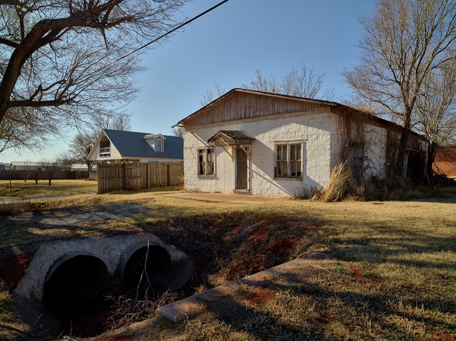
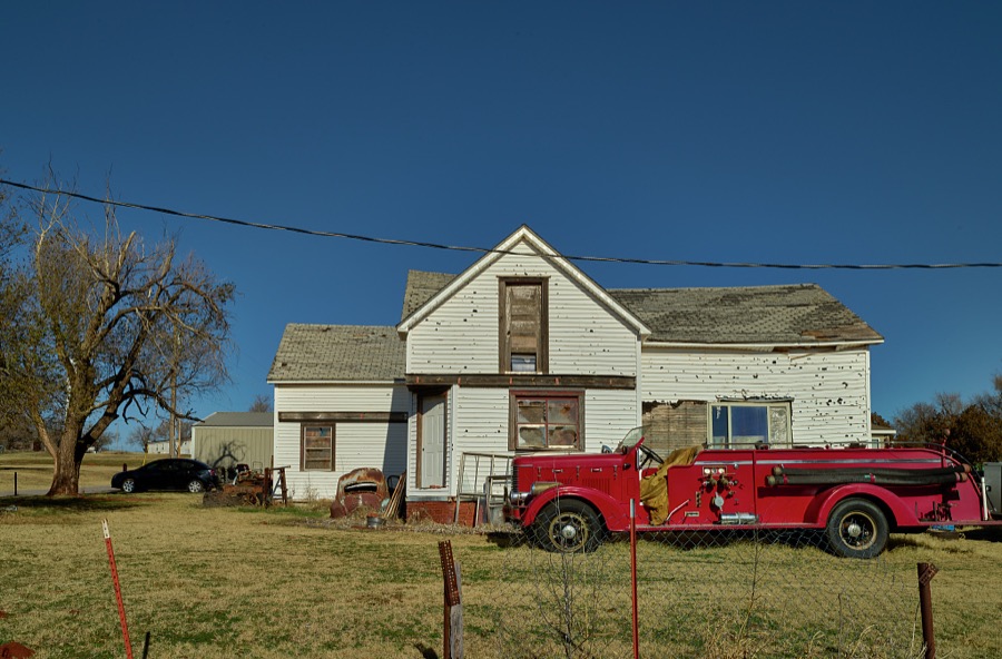
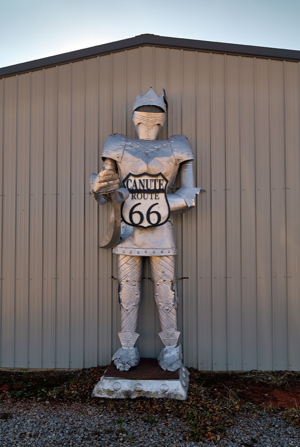
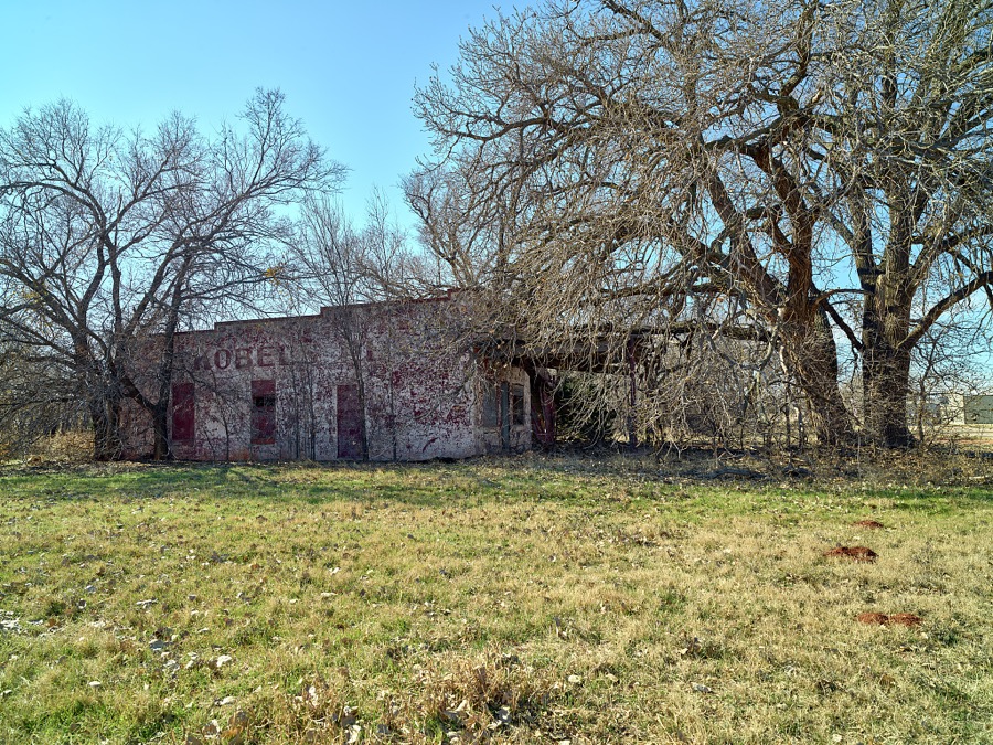
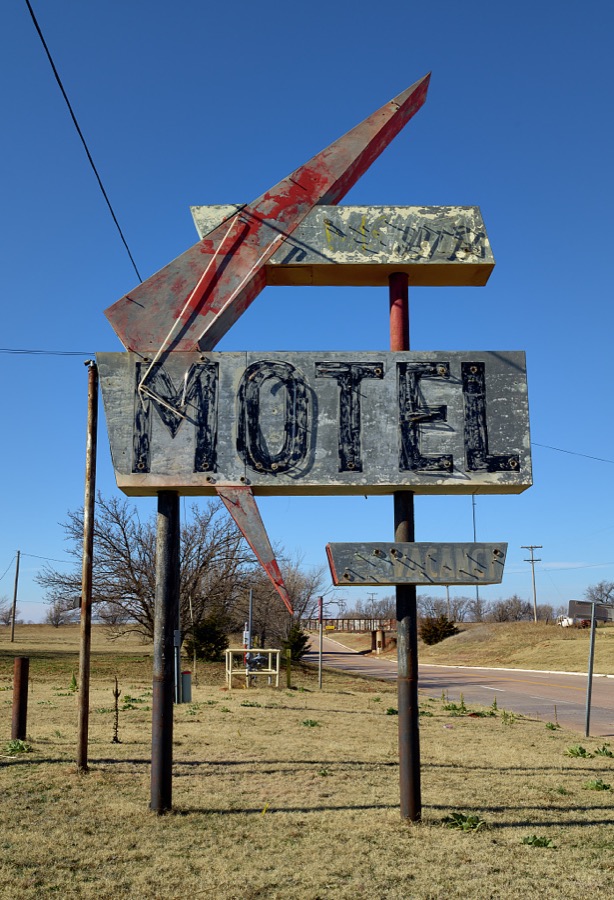
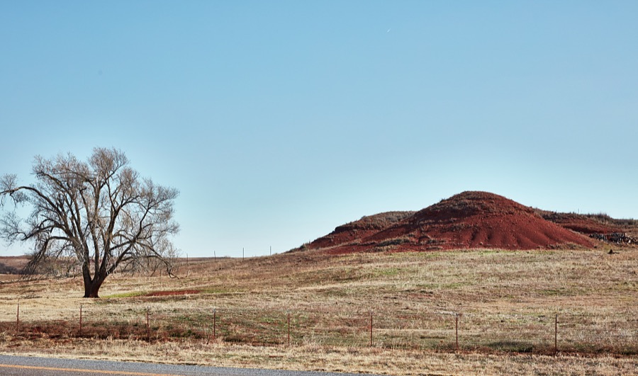
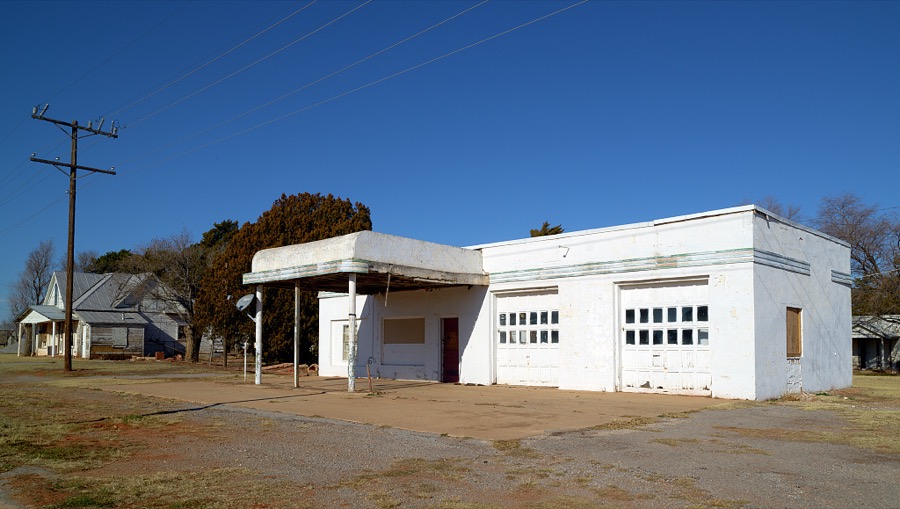
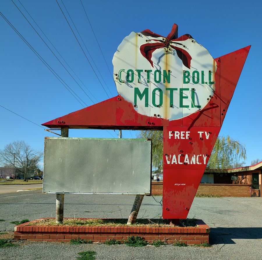
Every property in this county listed on the National Register of Historic Places, with the year it was listed and the federal nomination document.
| Photograph | Property | Type | Listed | Reference |
|---|---|---|---|---|
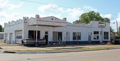 | Canute Service Station | building | 1995 | 94001611 |
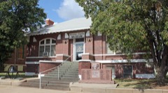 | Cordell Carnegie Public Library | building | 1989 | 89001966 |
| New Cordell Courthouse Square Historic District | district | 1999 | 98001592 | |
 | Washita County Courthouse | building | 1984 | 84003452 |
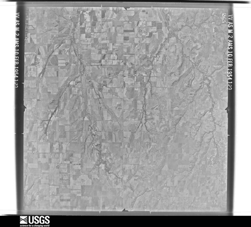
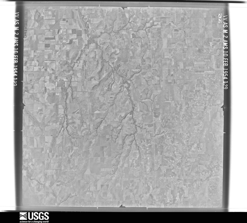
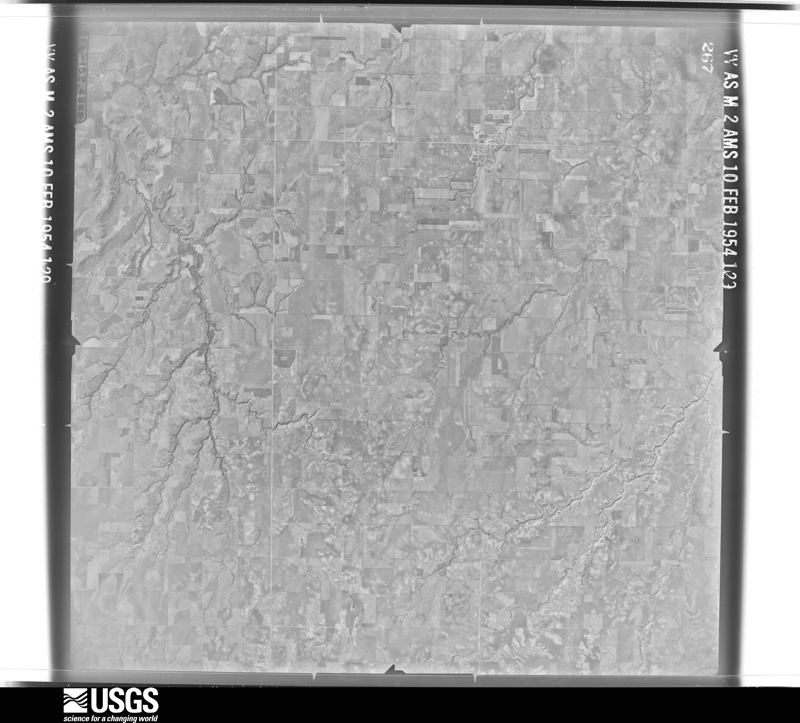
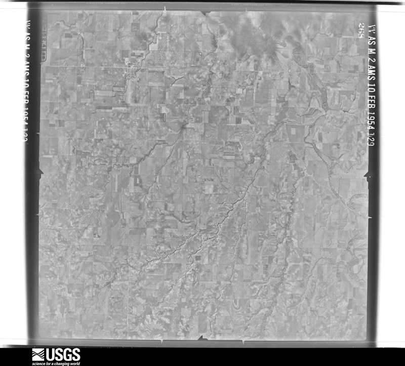
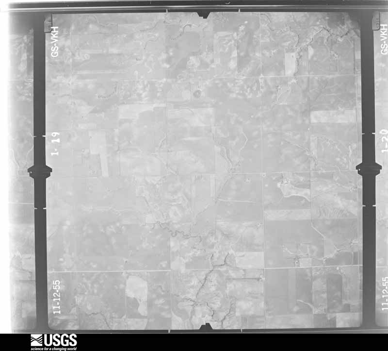
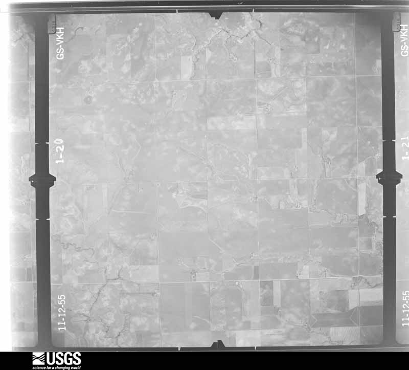
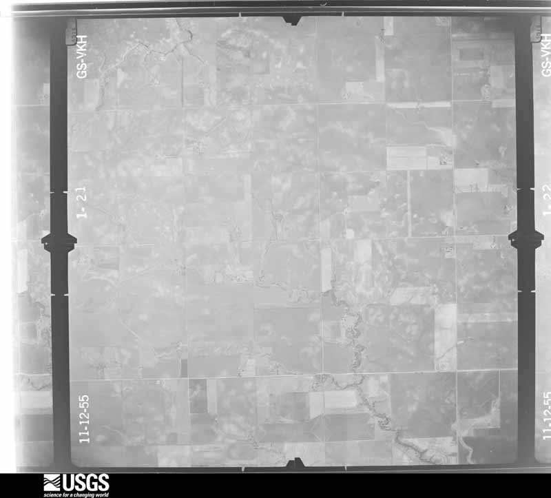
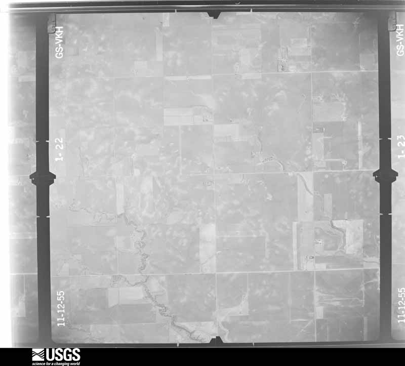
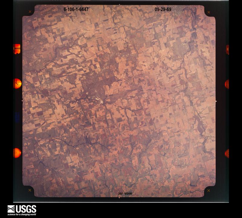
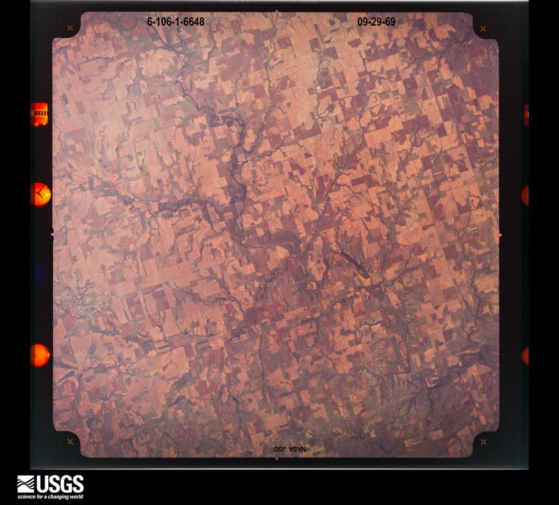
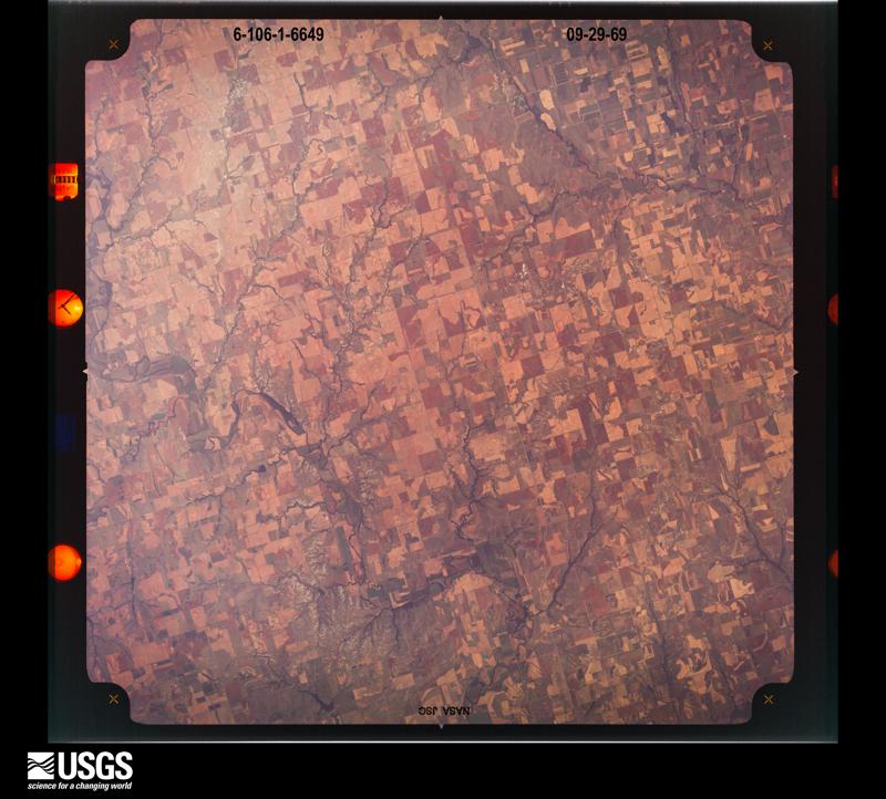
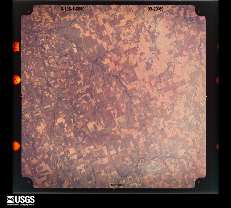
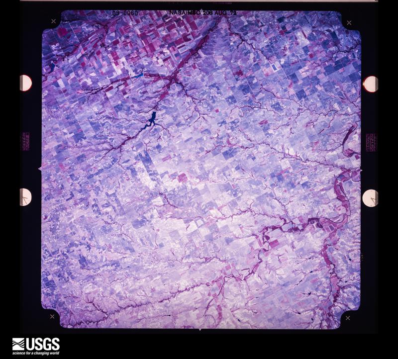
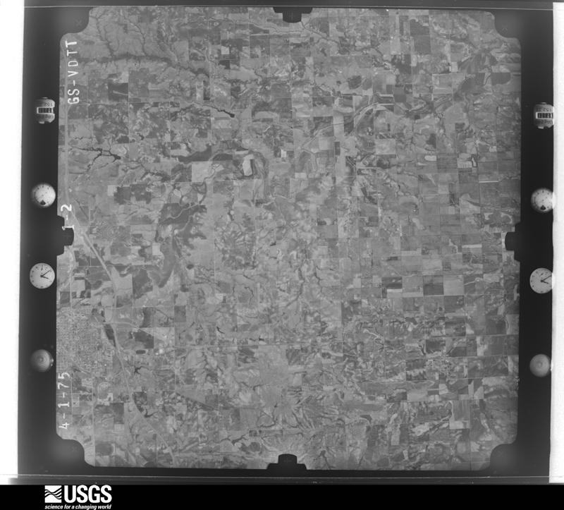
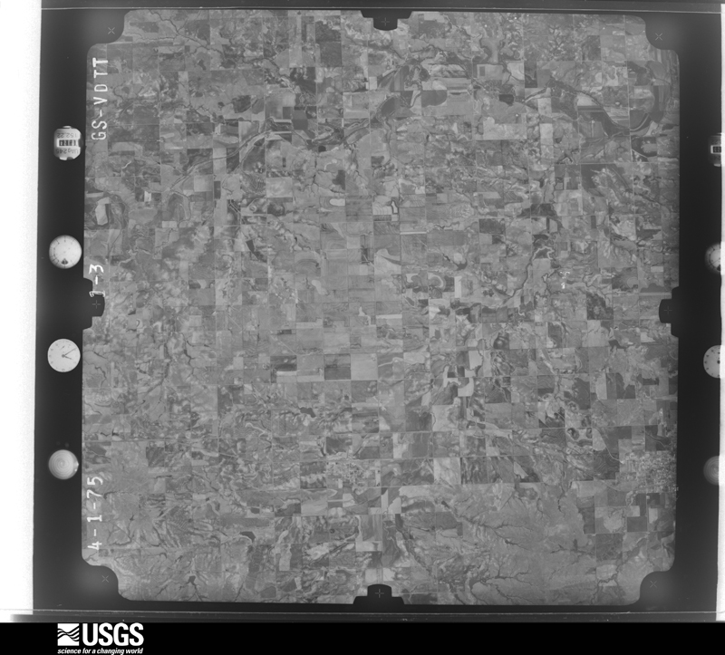
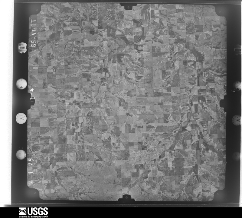
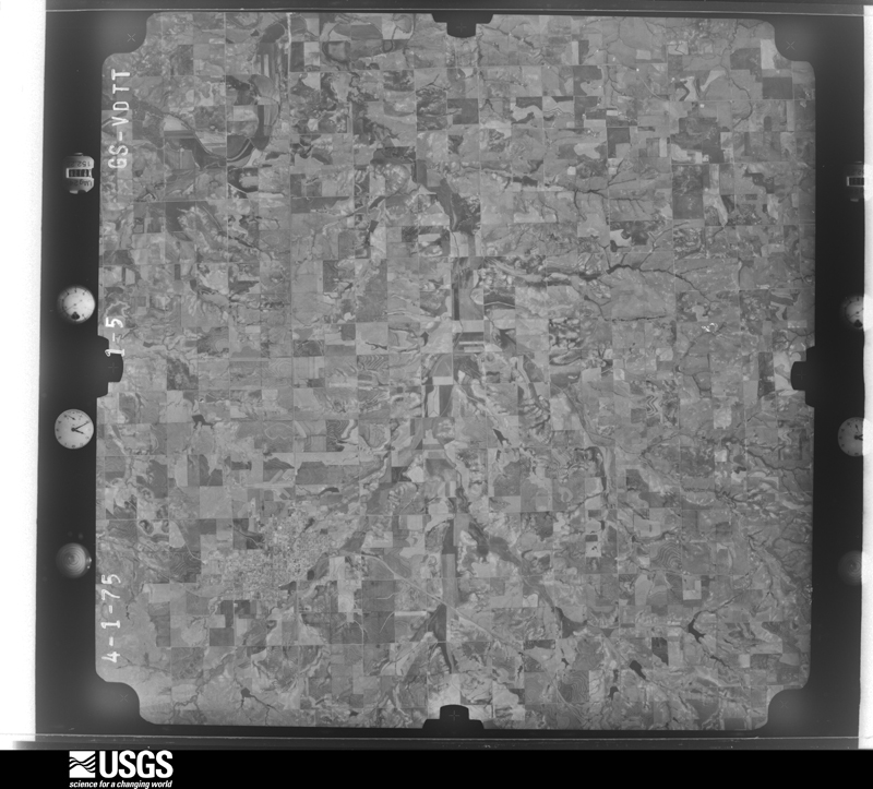
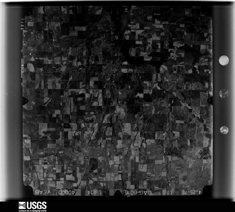
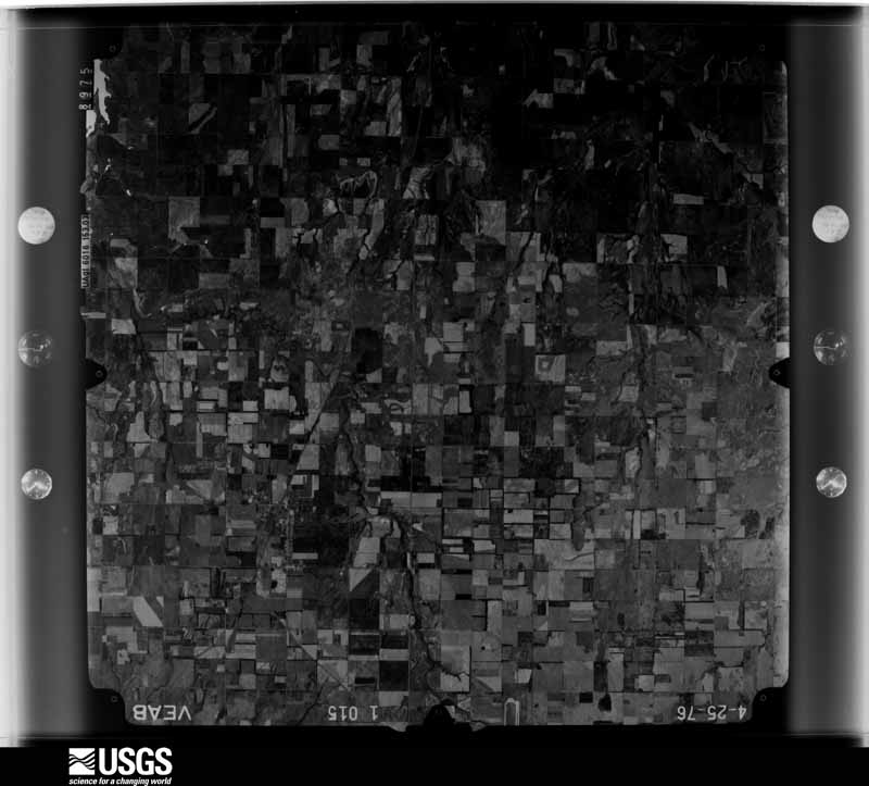
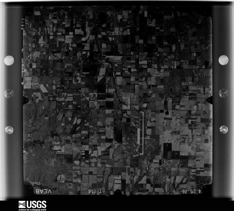
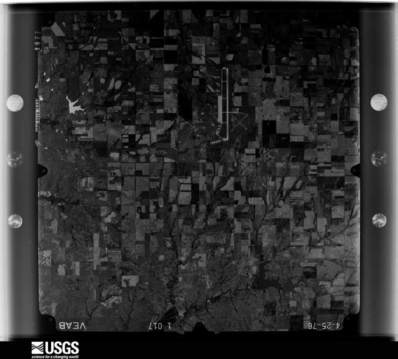
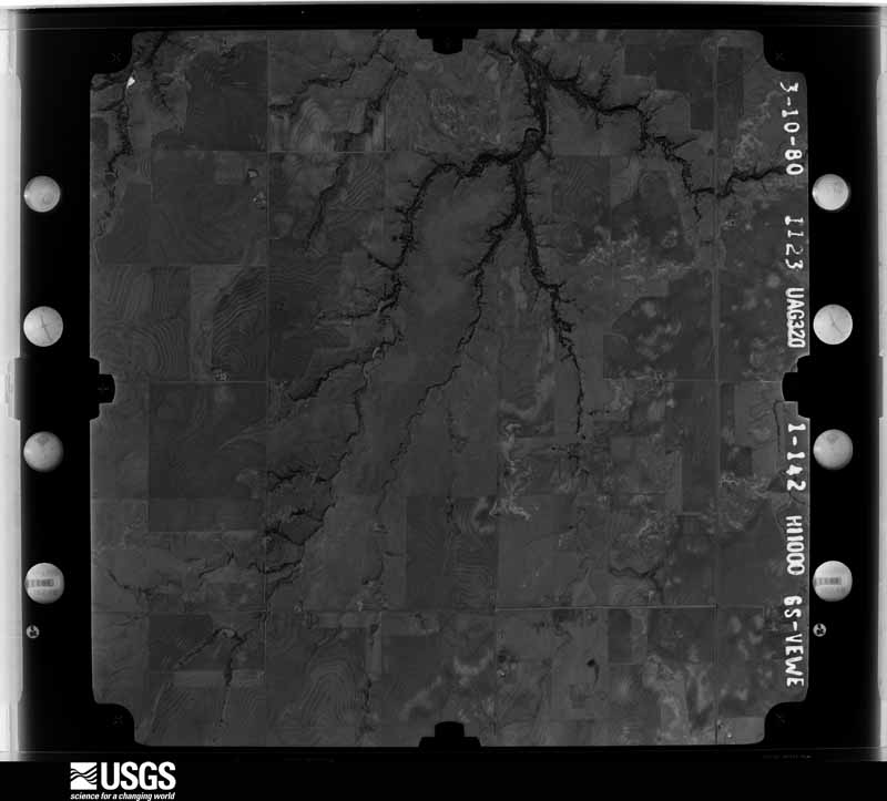
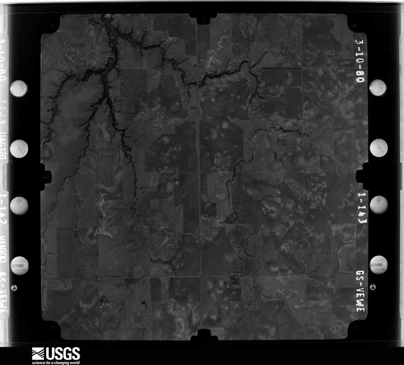
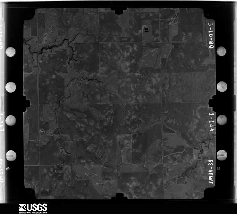
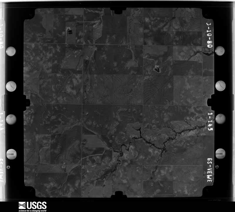
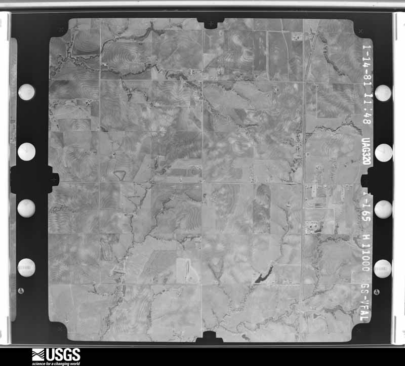
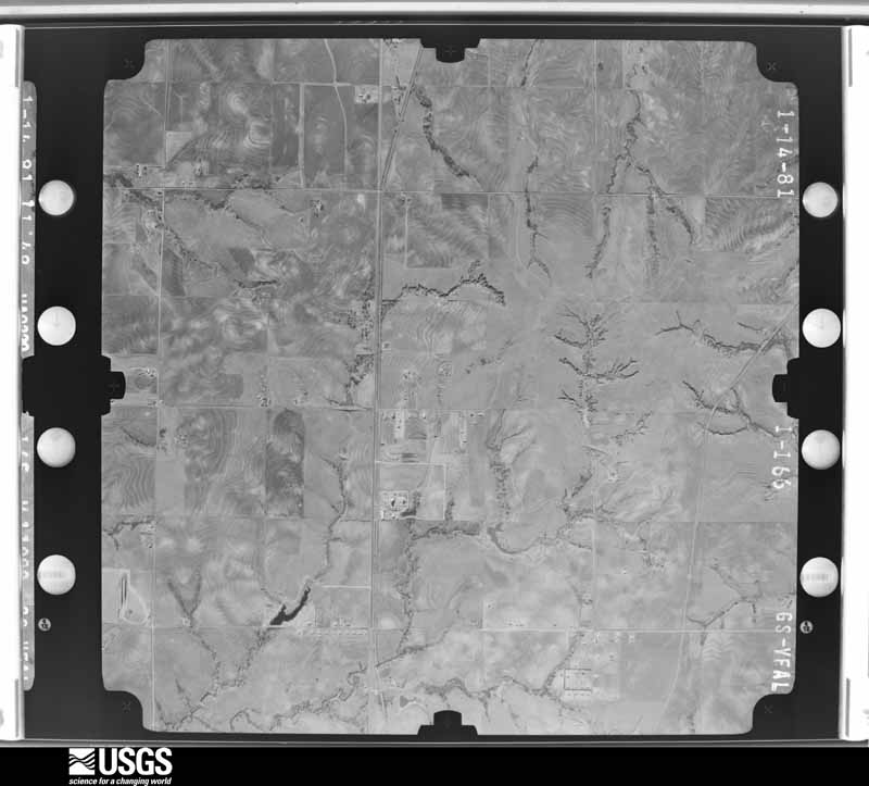
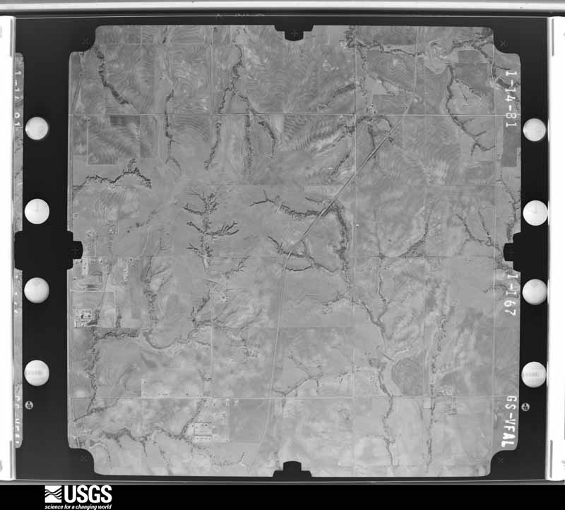
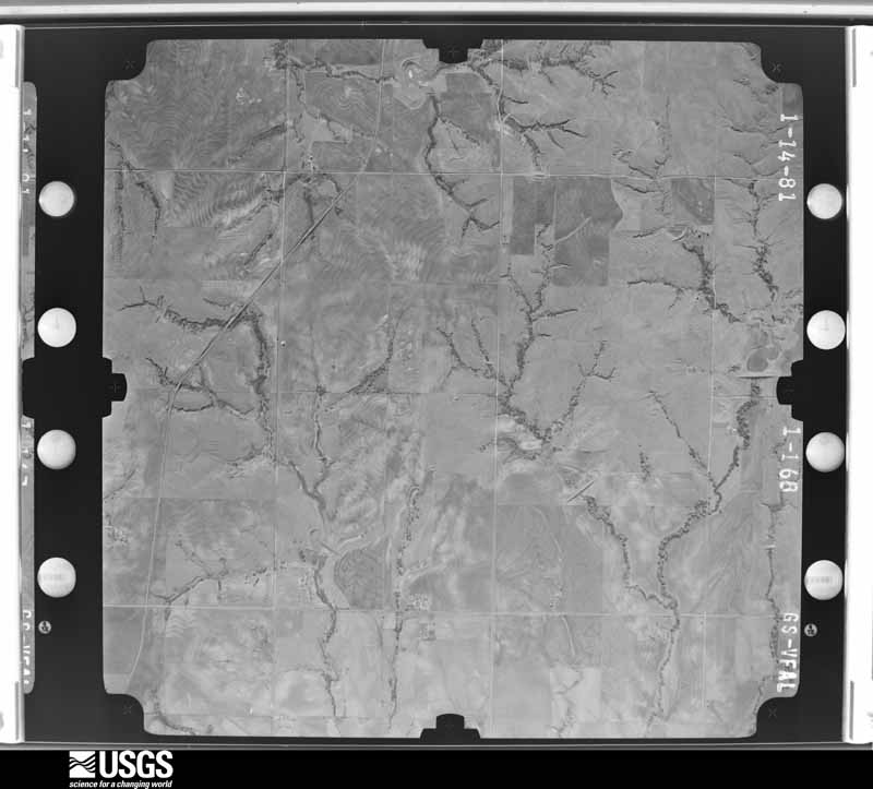
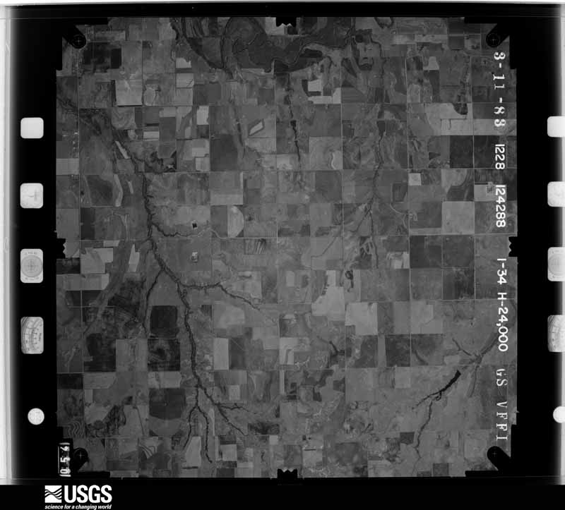
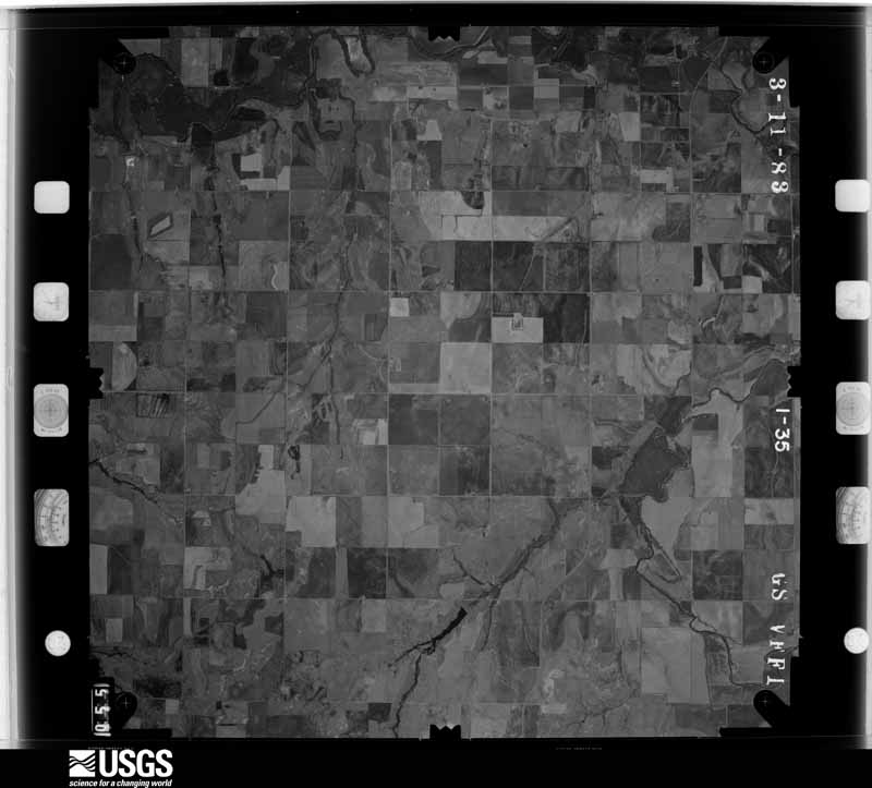
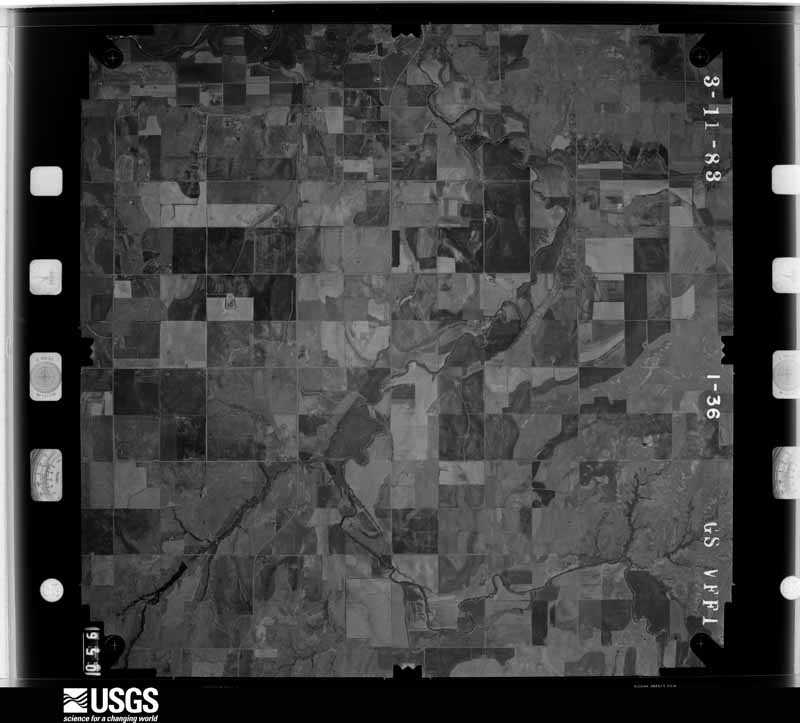
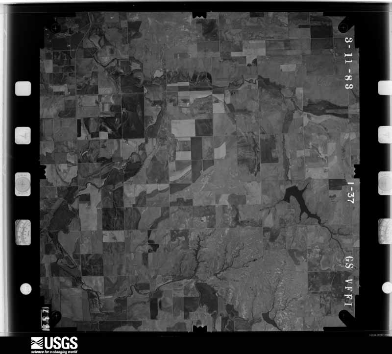
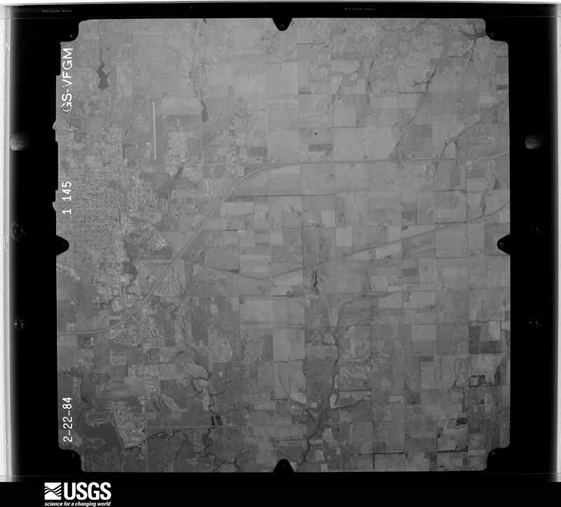
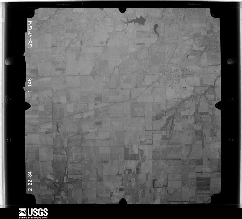
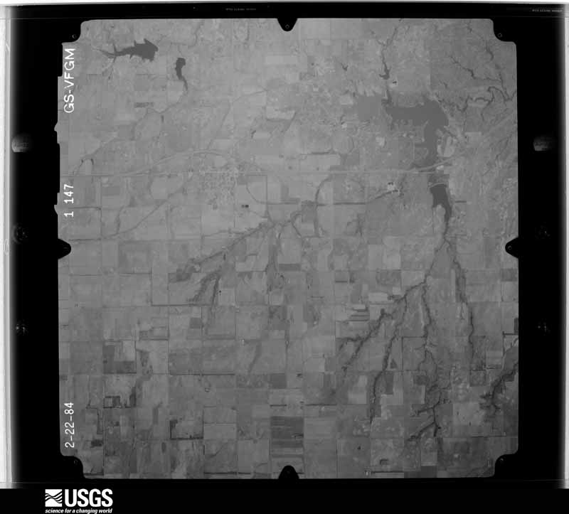
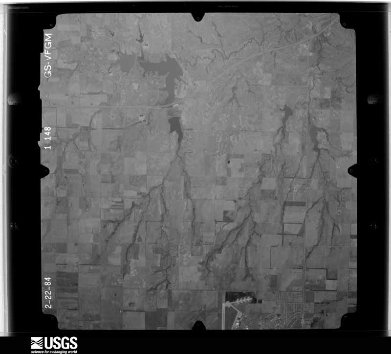
Flown by the U.S. Geological Survey between 1937 and 1989, the Aerial Photo Single Frames collection is the definitive mid-century view of the land: fields, roads and rivers as the camera saw them. The Survey holds 881 frames inside the rectangle that bounds this county; the 40 frames below were taken over the county itself, chosen across the decades of flights (at most four a year from that rectangle), so one flight cannot crowd out the rest. The full set is free to browse and download at EarthExplorer under the dataset Aerial Photo Single Frames.



The thermometers that kept this county's weather, as the federal records hold them. The extremes below are measured values from those records, not estimates.
Who lived here in 1950, one enumeration district at a time, as the Census Bureau described each district. Each row opens its official National Archives result, with Population Schedules and ED Maps available there.
Every wildfire the federal occurrence database records inside this county: 46 of them, burning about 3,566 acres. 3 started naturally and 2 were recorded as arson. Each settlement page carries the fires within five miles of it.
| Reported cause | Fires |
|---|---|
| Missing data/not specified/undetermined | 18 |
| Equipment and vehicle use | 10 |
| Debris and open burning | 9 |
| Natural | 3 |
| Arson/incendiarism | 2 |
| Power generation/transmission/distribution | 2 |
| Recreation and ceremony | 1 |
| Railroad operations and maintenance | 1 |
The five largest, by the area the report gives. One of them was set deliberately.
| Date | Cause | Size | Reported by | Name on the report |
|---|---|---|---|---|
| 6 August 2011 | Arson/incendiarism | 1,480 acres | Concho Field Office | COLONY |
| 3 April 2018 | Missing data/not specified/undetermined | 575 acres | Concho Field Office | COLONY |
| 26 November 2019 | Power generation/transmission/distribution | 432 acres | Oklahoma Division of Forestry | MOOREWOOD |
| 23 March 2006 | Debris and open burning | 300 acres | Concho Field Office | LEVI |
| 12 August 2008 | Equipment and vehicle use | 86 acres | Concho Field Office | RIG |
| 16 March 2010 | Debris and open burning | 80 acres | Anadarko Agency | A H O |
| 3 July 2012 | Missing data/not specified/undetermined | 80 acres | Concho Field Office | SNIDER |
| 11 August 2007 | Natural | 76 acres | Concho Field Office | LAWRENCE |
Every settlement page carries the fires within five miles of it - see the settlement index below.
The NOAA Storm Events Database holds 798 reports for this county, causing no deaths, 23 injuries and about $103,755,740 in recorded property damage. Each settlement page carries the reports that name it.
| Kind of event | Reports |
|---|---|
| Hail | 438 |
| Thunderstorm Wind | 283 |
| Tornado | 54 |
| Flash Flood | 15 |
| Lightning | 3 |
| Heavy Rain | 2 |
| Flood | 2 |
| Funnel Cloud | 1 |
The most serious of them, by death, then injury, then recorded damage. The accounts are quoted exactly as the forecast office filed them.
| When | Event | Place named | Harm | What the report says |
|---|---|---|---|---|
| October 2001 | Tornado (F3) | Cordell | 9 hurt, $100,000,000 | C1. This tornado developed on the southwest side of Cordell, where a mobile home and metal warehouse were blown into a farmhouse. The tornado then moved through south, east and northeast portions of Cordell, including a business district and a large residential area. Most damage south of Main Street was rated F0 or F1. North of Main Street, the damage path widened to approximately 500 yards, with the tornado then inflicting widespread F1 to F2 damage up to 12th Street. Hundreds of homes were damaged in this area. As the tornado began to exit the northeast side of Cordell, F3 damage was sustained to several homes on 9th Street, just west of Crider Road. An F4 rating was considered; however, the structural integrity of most structures was at or below average, and was taken into consideration. Another interesting note is that several eye-witnesses reported that the tornado was widest and contained the most violent-looking winds at this time. The tornado eventually exited Cordell and dissipated 3.5 miles northeast of town. The Oklahoma State Emergency Management Office estimated that 477 single-family homes were damaged, 132 considered uninhabitable. In addition, 40 businesses were damaged, 22 considered uninhabitable. Damage was estimated near 100 million dollars, and nine injuries were reported. |
| May 1962 | Tornado (F4) | not stated | 9 hurt, $250,000 | no account filed |
| April 1999 | Thunderstorm Wind | Canute | 3 hurt, $30,000 | no account filed |
| October 2001 | Tornado (F3) | Cowden | 1 hurt, $600,000 | D2. Washita County portion. Extensive tree damage was observed from the Kiowa/Washita County border, northeastward to near State Highway 115, where the tornado leveled (rated F2) the Oakdale Schoolhouse, an old structure built in the 1920s. Across the street from the schoolhouse, a diesel shop was leveled, along with a barn, garage, and an unanchored wood-floor home. Several vehicles and large pieces of farm equipment were also tossed and destroyed. About 4 miles north-northeast of Mountain View, 3 homes suffered major damage, with one rated F3. As the tornado continued northeastward, F3 damage was inflicted on a farm, where a house and several barns and outbuildings were leveled. A 10,000 gallon diesel tank ended up in an open field about one-quarter mile away from its original position. |
| April 1994 | Thunderstorm Wind | Canute | 1 hurt, $5,000 | no account filed |
| April 2024 | Tornado (EF1) | Cordell | $250,000 | The Cordell Tornado developed about a mile south of Cordell along County Road E1200 just west of US Highway 183. A couple of metal buildings were damaged along E1200 Road along with trees and power lines. Debris from these buildings were found about 300 yards north. The tornado moved north and northeast into Cordell near US-183 and Caddo Street and moving across the southern and eastern portions of Cordell causing roof damage for dozens of homes and a few businesses. The tornado dissipated soon after moving through a neighborhood on the northeast edge of Cordell. |
| March 1986 | Tornado (F1) | not stated | $250,000 | no account filed |
| May 1982 | Tornado (F2) | not stated | $250,000 | no account filed |
| May 1981 | Tornado (F2) | not stated | $250,000 | no account filed |
| May 1975 | Tornado (F3) | not stated | $250,000 | no account filed |
| June 1951 | Tornado (F3) | not stated | $250,000 | no account filed |
| April 1950 | Tornado (F3) | not stated | $250,000 | no account filed |
| May 2019 | Tornado (EF2) | Rocky | $120,000 | This tornado developed as another tornado just a mile to the southeast was dissipating in northern Kiowa County. This second tornado moved north-northeast directly into the town of Rocky. Fortunately the tornado was relatively weak in Rocky and the damage in town was generally EF0 tree damage. The tornado turned more northeast after moving through Rocky and intensified to EF2 intensity. Northeast of town, a transmitter shelter building was damaged, a few mobile homes were significantly damaged, outbuildings damaged or destroyed, and a number of trees and power poles were damaged. Some debris from mobile homes and/or outbuildings were blown about 3/4 of a mile to the northeast. For the last two miles of the path, the tornado turned north and dissipated south of US-183 to the south-southwest of Cordell. |
| May 2004 | Thunderstorm Wind | Bessie | $100,000 | A wind gust, possibly from a wet microburst, caused some damage in Bessie. Three empty grain cars of a train were toppled onto their side. There was also some minor roof damage and downed trees. The Bessie Fire Department also sustained some roof damage. |
| April 1999 | Hail | Dill City | $75,000 | no account filed |
| June 2025 | Thunderstorm Wind | Colony | $50,000 | A barn was destroyed, a roof was damaged and trees were blown down near the intersection of County Roads 2420 and 1110. The location is approximate, and the event time is estimated from radar observations. |
| August 1994 | Thunderstorm Wind | Sentinel | $50,000 | no account filed |
| June 1994 | Thunderstorm Wind | Canute | $50,000 | no account filed |
| May 2001 | Thunderstorm Wind | Foss | $40,000 | Two tractor-trailers were blown over. |
| January 2013 | Thunderstorm Wind | Corn | $35,000 | At least one barn destroyed with several other small outbuildings partially damaged or destroyed. One large grain silo was displaced and the roof of an external garage was removed. Several power poles were also snapped. |
| April 1999 | Tornado (F1) | Dill City | $35,000 | no account filed |
| May 1996 | Thunderstorm Wind | Bessie | $35,000 | no account filed |
| August 2023 | Thunderstorm Wind | Sentinel | $30,000 | Relayed images showing wind damage in/near the community of Sentinel. The most significant damage was to a silo, which was partially crushed. Multiple structures had varying degrees of roof damage, including a few that had portions removed. Time is radar estimated. |
| September 2005 | Thunderstorm Wind | Sentinel | $30,000 | Strong winds caused damage in and around Sentinel. Six large overhead garage doors were damaged. One of these doors was blown in at the Technology Education Building of the Sentinel School. The northwest exterior wall of this building was also separated from the roof. Three of the six overhead doors were damage at the new Area Activity Center. The final door was on a barn one mile southeast of town. The doors at the Combs Disposal Co. were also damaged. The winds then scattered Polycarts across the area. Fifteen power poles were also snapped southeast of town. |
| August 2024 | Thunderstorm Wind | (Csm)Clinton Sherman Airport | $25,000 | Relayed image showing a large metal barn with its roof blown off and additional damage to bay doors. Time is radar estimated. |
| January 2013 | Thunderstorm Wind | Sentinel | $25,000 | At least one barn was destroyed and several power poles were blown down. Damages estimated. |
| July 2004 | Thunderstorm Wind | Bessie | $25,000 | Strong winds caused an area of damage along Highway 183, just 1.5 miles south of the Custer County line. A barn was destroyed, and a commercial building lost its roof. Several trees were also downed. |
| May 2001 | Thunderstorm Wind | Cordell | $25,000 | The roof was damaged at Cordell Airport. |
| June 1998 | Thunderstorm Wind | Dill City | $25,000 | Severe thunderstorm winds destroyed a hay barn and pop-up camper. The neighboring house and outbuildings also sustained roof damage. |
| July 1979 | Tornado (F1) | not stated | $25,000 | no account filed |
| May 1975 | Tornado (F1) | not stated | $25,000 | no account filed |
| May 2017 | Tornado (EF2) | Canute | $20,000 | The Elk City tornado moved into Washita County and moved northeast about 3 miles before dissipating. Three outbuildings were damaged or destroyed and one house received minor damage. Otherwise, damage was primarily to trees and power lines in Washita County. Damage costs were roughly estimated. |
| March 2007 | Thunderstorm Wind | Bessie | $20,000 | Damage was reported to carports and a barn. Sections of wood and brick fences were damaged, as well as power lines downed. Roof damage also occurred to one house. | |
| June 2002 | Flash Flood | Corn | $20,000 | A car was forced off a bridge by fast-flowing water. Seven inches of rain was measured in the area. |
| July 1997 | Thunderstorm Wind | Canute | $20,000 | Two tractor trailer trucks were blown over on Interstate 40, and numerous limbs were broken, trees were snapped, and power lines were downed. |
| May 1997 | Hail | Burns Flat | $20,000 | Wind-driven hail as large as golf balls broke windows and dented 11 cars parked at the old Clinton-Sherman Air Base. Fences and roofs of buildings were also damaged. |
| July 2013 | Thunderstorm Wind | Burns Flat | $15,000 | Power poles reported down, along with a 2.5-foot diameter tree. |
| August 2006 | Lightning | Sentinel | $15,000 | Lightning caused some structural damage to a house in Sentinel. A small fire also caused some damage. |
| August 2024 | Thunderstorm Wind | Canute | $10,000 | Relayed image showing roof damage to a mobile home. Time is radar estimated. |
| October 2018 | Flash Flood | Cordell | $10,000 | A police car was flooded. |
| May 2013 | Thunderstorm Wind | Canute | $10,000 | A roof was blown off a barn SW of Canute. |
| October 2001 | Tornado (F1) | Canute | $10,000 | B1. Washita County portion. This tornado tracked across the northwest corner of Washita County, causing major damage to trees, toppling an older windmill, and blowing over and rolling a truck about 25 yards, before crossing into Custer County. |
| July 2000 | Lightning | Colony | $10,000 | Lightning struck the roof of a house causing a fire which destroyed a portion of the attic. |
| August 2006 | Thunderstorm Wind | Cordell | $7,500 | Power poles were downed. A barn roof was also blown off. |
| June 2008 | Thunderstorm Wind | Dill City | $7,000 | A 12-inch tree trunk was snapped by high winds. Roof damage was also reported at an outbuilding. Monetary damages were estimated. |
| January 2013 | Thunderstorm Wind | Cordell | $6,000 | The damage occurred along a path from two miles south of Cordell to two miles east of Cordell. Four power poles were downed. |
| August 1996 | Hail | Burns Flat | $5,200 | no account filed |
| May 2017 | Tornado (EF1) | Rocky | $5,000 | A barn was destroyed, and numerous trees and power lines were downed as this tornado moved east-northeast from about 6 miles east-northeast of Rocky to 2.5 miles southwest of Cloud Chief. |
| December 2012 | Thunderstorm Wind | Colony | $5,000 | Several trees were blown down and shingles were removed from the roof of a residence. Time estimated from radar. |
| May 2009 | Thunderstorm Wind | Foss | $5,000 | An 18-wheeler jacknifed on Interstate 40 due to the strong winds. All lanes of traffic were blocked as a result. Monetary damages were estimated. |
| March 2008 | Hail | Corn | $5,000 | Quarter to golfball size hail was reported. The hail caused minor windshield damage on automobiles. Monetary damages were estimated. |
| March 2008 | Thunderstorm Wind | Corn | $5,000 | A carport roof was blown off. Dime size hail also accompanied the severe winds. Monetary damages were estimated. |
| October 2001 | Tornado (F1) | Corn | $5,000 | C2. This tornado blew over trees and caused damage to an outbuilding. Hay bales were also moved. |
| February 2000 | Thunderstorm Wind | Canute | $5,000 | A semi-truck was blown over. |
| June 1994 | Hail | Canute | $5,000 | no account filed |
| June 1994 | Thunderstorm Wind | Corn | $5,000 | no account filed |
| September 1993 | Thunderstorm Wind | Cordell | $5,000 | no account filed |
| May 1993 | Thunderstorm Wind | Burns Flat | $5,000 | no account filed |
| May 1997 | Thunderstorm Wind | Canute | $4,000 | Severe thunderstorm winds estimated at 75 mph blew signs down in Canute. |
| March 2000 | Tornado (F1) | Sentinel | $3,500 | This tornado formed 5 miles east of Sentinel and was captured on video by an Oklahoma City television storm chaser as it tracked eastward for 2 miles before dissipating. Seven power poles were downed by this tornado on State Route 55. |
The Survey's mineral resources record lists 25 workings inside this county. None of them still produces: all are closed or unrecorded. Each settlement page carries the workings within five miles of it.
| Commodity | Workings |
|---|---|
| Sand and Gravel, Construction | 10 |
| Clay | 10 |
| Gypsum-Anhydrite | 5 |
The least common of them first, because a county's hundredth gravel pit says nothing its first ten did not.
| Where | Site | Commodity | Status | Recorded |
|---|---|---|---|---|
| Agricultural Gypsum Corp | Gypsum-Anhydrite | Unknown | ||
| Unknown Gypsum Pit | Gypsum-Anhydrite | Past Producer | ||
| Unknown Gypsum Pit | Gypsum-Anhydrite | Past Producer | ||
| Unknown Gypsum Pit | Gypsum-Anhydrite | Past Producer | ||
| Unknown Gypsum Pit | Gypsum-Anhydrite | Past Producer | ||
| Unknown Gravel Pit | Sand and Gravel, Construction | Past Producer | ||
| Unknown Gravel Pit | Sand and Gravel, Construction | Past Producer | ||
| Unknown Gravel Pit | Sand and Gravel, Construction | Past Producer | ||
| Unknown Gravel Pit | Sand and Gravel, Construction | Past Producer | ||
| Unknown Gravel Pit | Sand and Gravel, Construction | Past Producer | ||
| Unknown Gravel Pit | Sand and Gravel, Construction | Past Producer | ||
| Unknown Gravel Pit | Sand and Gravel, Construction | Past Producer | ||
| Unknown Gravel Pit | Sand and Gravel, Construction | Past Producer | ||
| Unknown Gravel Pit | Sand and Gravel, Construction | Past Producer | ||
| Unknown Gravel Pit | Sand and Gravel, Construction | Past Producer | ||
| Unknown Shale Pit | Clay | Past Producer | ||
| Unknown Shale Pit | Clay | Past Producer | ||
| Unknown Shale Pit | Clay | Past Producer | ||
| Unknown Shale Pit | Clay | Past Producer | ||
| Unknown Shale Pit | Clay | Past Producer | ||
| Unknown Shale Pit | Clay | Past Producer | ||
| Unknown Shale Pit | Clay | Past Producer | ||
| Unknown Shale Pit | Clay | Past Producer | ||
| Unknown Shale Pit | Clay | Past Producer | ||
| Unknown Shale Pit | Clay | Past Producer |
Named settlements recorded in the Geographic Names Information System, each with the topographic sheets covering it. Villages, hamlets and abandoned places alike. Each is shown with the nearest named watercourse or landform and the survey quadrangle it falls on. The 3 places that were also surveyed for fire insurance come first, with the number of atlases and photographs held for them.
Central Washita census division · 73632 · Cordell quadrangle
9 sheets, 1955 to 1986
Fire insurance: 6 atlases
Northwest Washita census division · 73647 · On Sand Creek · Foss quadrangle
11 sheets, 1955 to 1985
Fire insurance: 4 atlases
Southwest Washita census division · 73661 · Rocky quadrangle
9 sheets, 1955 to 1985
Fire insurance: 2 atlases
Northwest Washita census division · 73647 · Dill City SE quadrangle
11 sheets, 1955 to 1985
Southeast Washita census division · 73632 · Cloud Chief quadrangle
9 sheets, 1955 to 1986
Northeast Washita census division · 73021 · On Spring Creek · Colony quadrangle
9 sheets, 1955 to 1986
Northeast Washita census division · 73021 · Colony quadrangle
9 sheets, 1955 to 1986
Southeast Washita census division · 73632 · Lake Valley quadrangle
9 sheets, 1955 to 1986
No longer a settlement
Southeast Washita census division · 73041 · Lake Valley quadrangle
9 sheets, 1955 to 1986
Southeast Washita census division · 73661 · Gotebo NW quadrangle
9 sheets, 1955 to 1986
No longer a settlement
The vanished settlements of Washita County: the places named above that are no longer on the map.
9 topographic sheets and 6 fire insurance atlases, 1904 to 1932
11 topographic sheets and 4 fire insurance atlases, 1904 to 1916