 Block
Nicut, Oklahoma
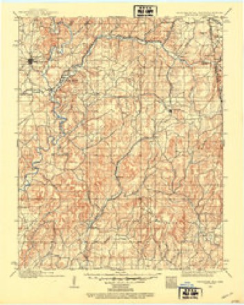
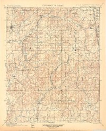
18 topographic sheets cover this place, the earliest surveyed in 1898 and the latest in 1978. It stands in the Roland census division. It lies in ZIP code area 74948. It stands on Salt Creek. The Survey maps it on the Nicut quadrangle. 286 people lived here at the 2020 count. It stands 581 feet above sea level.
Population over time
2 figuresNicut fell from 360 to 286 between 2010 and 2020. These are the recorded population figures Wikidata holds for this place, reached through the Geographic Names Information System number this page is keyed on rather than by name, so they belong to this place and not to another of the same name. Most are census counts, but not all are: an early figure may be a founding or settlement estimate, and an estimate published within five years of a census is left out. The change column is computed, and is left blank where more than 20 years separate a figure from the one before it, because a gap that long is not a change between two counts.
| Year | People | Change |
|---|---|---|
| 2010 | 360 | |
| 2020 | 286 | -74 (-21%) |
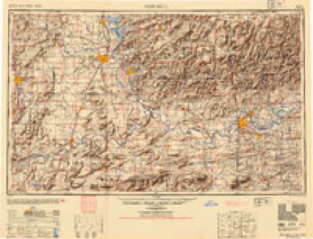
Topographic sheets covering this place
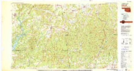
9 surveys from 18 printed sheetsMatched by testing this settlement's coordinate against the published boundary of every sheet in the United States Geological Survey's historical collection. Each opens the scanned sheet at the Survey.
- 1898 USGS Tahlequah quadrangle1:125000
- 1901 USGS Tahlequah quadrangle1:125000, 8 printings
- 1905 USGS Tahlequah quadrangle1:125000
- 1946 USGS Fort Smith quadrangle1:250000
- 1965 USGS Fort Smith quadrangle1:250000
- 1967 USGS Fort Smith quadrangle1:250000
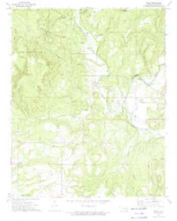
- 1973 USGS Nicut quadrangle1:24000, 2 printings
- 1978 USGS Fort Smith quadrangle1:250000, 2 printings
- 1978 USGS Stilwell quadrangle1:100000
Fires near this place
624 since 1992Regional context, not property-specific evidence. The federal wildfire occurrence database lists 624 fires within 5 miles of Nicut between 1992 and 2020, burning about 26,237 acres in total. 17 started naturally. 366 were recorded as arson. Distance is straight-line from the map coordinates, so a fire counted here may appear on a neighbouring settlement's page as well.
| Reported cause | Fires |
|---|---|
| Arson/incendiarism | 366 |
| Missing data/not specified/undetermined | 130 |
| Debris and open burning | 57 |
| Natural | 17 |
| Smoking | 15 |
| Equipment and vehicle use | 14 |
| Recreation and ceremony | 13 |
| Misuse of fire by a minor | 8 |
| Railroad operations and maintenance | 4 |
The most recent of them, most recent first, with the day each was reported and the service that recorded it.
| Date | Cause | Size | Reported by | Name on the report |
|---|---|---|---|---|
| 7 September 1993 | Missing data/not specified/undetermined | under an acre | Oklahoma Division of Forestry | not named |
| 6 September 2000 | Arson/incendiarism | 140 acres | Oklahoma Division of Forestry | not named |
| 6 September 2000 | Misuse of fire by a minor | 8.0 acres | Oklahoma Division of Forestry | not named |
| 6 September 1998 | Equipment and vehicle use | 160 acres | Oklahoma Division of Forestry | not named |
| 6 September 1998 | Recreation and ceremony | 2.0 acres | Oklahoma Division of Forestry | not named |
| 4 September 2000 | Natural | 1.0 acres | Oklahoma Division of Forestry | not named |
| 4 September 1998 | Equipment and vehicle use | 6.0 acres | Oklahoma Division of Forestry | not named |
| 3 September 1999 | Arson/incendiarism | 15 acres | Oklahoma Division of Forestry | not named |
Settlements close enough to share some of these fires:
Mines and quarries near this place
1 within 5 milesRegional context, not property-specific evidence. The federal mineral resources record lists 1 working within 5 miles of Nicut: 1 past producer. None of them still produces. What was taken out: Sand and Gravel, Construction. Distance is straight-line from the map coordinates, so a quarry counted here may appear on a neighbouring settlement's page as well.
| Where | Site | Commodity | Status | Recorded |
|---|---|---|---|---|
| Unknown Gravel Pit | Sand and Gravel, Construction | Past Producer |
Storms near this place
9 since 1997Regional context, not property-specific evidence. The National Weather Service names Nicut in 9 storm reports between 1997 and 2015: 4 hail, 4 thunderstorm wind, 1 flood. No death or injury is recorded in these reports. Each account below is quoted exactly as the forecast office filed it, from the NOAA Storm Events Database, and each date opens the federal record of that event.
| When | Event | Place named | Harm | What the report says |
|---|---|---|---|---|
| July 2003 | Thunderstorm Wind | Nicut | $5,000 | Thunderstorm winds estimated at 70 miles an hour blew down several trees and some power lines. |
| January 2013 | Thunderstorm Wind | Nicut | $2,000 | Several large hardwood trees were uprooted by inflow wind into a developing tornado and/or rear flank downdraft wind. Large limbs were also blown down and at least one power pole was downed by the wind. |
| November 1998 | Thunderstorm Wind | Nicut | $1,000 | A tree was blown down onto a fence. |
| December 2015 | Flood | Nicut | - | Portions of Highway 101 west of the Arkansas state line were closed due to flooding. |
| June 2009 | Thunderstorm Wind | Nicut | - | Thunderstorm winds estimated at 60 miles an hour blew down large tree limbs. |
| May 1997 | Hail | Nicut | - | Severe thunderstorms moved across eastern Oklahoma during the late afternoon and evening of May 26th. The storms spawned 13 tornadoes and also produced damaging winds and large hail.The first tornado touched down briefly at 1730CST 1 mile east southeast of Sapulpa. This 75 yard wide tornado produced no structural damage and was rated F1 in intensity.The second tornado touched down briefly at 1735CST 2 miles southeast of Sapulpa. This tornado produced no structural damage and was rated F0 in intensity.The third tornado touched down at 1738CST 7 miles south southwest of Sapulpa and moved east northeast for 5 miles before lifting at 1745CST 2 miles south of Kiefer. This 150 yard wids tornado downed trees and power lines along its path and was rated F1 in intensity.The fourth tornado tocuhed down at 1746CST 7 miles west southwest of Beggs. The tornado initially touched down just inside Creek County before entering Okmulgee County. The tornado moved north northeast for 8 miles before lifting at 1806CST 3 miles southwest of Mounds. This 100 yard wide tornado damaged 8 homes in Okmulgee County and downed trees and power lines and was rated F0 in intensity in Creek County and F2 in intensity in Okmulgee County.The fifth tornado touched down briefly at 1747CST 2 miles west of Bearden. This tornado produced no structural damage and was rated F0 in intensity.The sixth tornado touched down briefly at 1808CST 4 miles south of Beggs. This tornado produced no structural damage and was rated F0 in intensity.The seventh tornado touched down briefly at 1815CST 1 mile southeast of Glenpool. This 40 yard wide tornado destroyed 1 trailer home and a barn and was rated F0 in intensity.The eighth tornado touched down at 1819CST 3 miles southeast of Beggs and moved east for 2 miles before lifting at 1822CST on the west side of Preston. This 100 yard wide tornado damaged houses, threw debris onto roads, destroyed garages and small buildings, and downed trees and power lines. This tornado was rated F1 in intensity.The ninth tornado touched down at 1824CST 1 mile east of Preston and moved east for 2 miles before lifting at 1828CST 3 miles east of Preston. This 100 yard wide tornado produced minor damage to 4 houses and downed trees and was rated F1 in intensity.The tenth tornado touched down at 1840CST 4 miles east of Preston and moved east for 4 miles before lifting at 1846CST 8 miles east of preston. This 75 yard wide tornado damaged a church and a house and downed trees and was rated F1 in intensity.The eleventh tornado touched down briefly at 1925CST 0.5 miles north of Picher. This tornado produced no structural damage and was rated F0 in intensity.The twelfth tornado touched down at 1929CST 6 miles west of Indianola and moved east southeast for 5 miles before lifting at 1941CST 2 miles southwest of Indianola. This 440 yard wide tornado destroyed 1 house and 1 mobile home, and 1 person suffered minor injuries. Large farm equipment was thrown several hundred yards by the tornado, and numerous large trees were also downed. This tornado was rated F3 in intensity making it the strongest tornado of the day.The thirteenth tornado touched down at 2032CST 4 miles south of Blocker in Pittsburg County and moved east for 4 miles into Latimer County before lifting at 2040CST 10 miles northwest of Wilburton about 1/4 mile into Latimer County. This 50 yard wide tornado destroyed a mobile home and downed trees in Pittsburg County and damaged a house and downed trees in Latimer County. This tornado was rated F1 in intensity in both Pittsburg and Latimer Counties.Damaging straightline winds also accompanied the storms. Strong thunderstorm winds damaged brick houses and 1 trailer home 6 miles north of McAlester, and a fence was damaged and trees downed in the same area. Thunderstorm winds destroyed 2 mobile homes and a barn and downed power lines and numerous large trees 1 mile south of Hanna. A house was damaged by strong winds in Natura, and a rec substation was damaged by winds near Fairland. Strong thunderstorm winds damaged outbuildings and downed trees and power lines in Fairland, and an 18 wheeler was blown off Interstate 44 near Afton. Strong winds split a tree and downed power lines and 2 telephone poles 2 miles north of Grainola, and numerous trees and large tree limbs were blown down across roads 6 miles east of Grove. Trees were blown down 3 miles northeast of Bixby, 3 miles west of Muskogee, 1 mile west of Wilburton, in Wilburton, and in Talihina, and large tree limbs were blown down in Hulbert, 5 miles west of Grove, and in Stilwell. Thunderstorm winds gusted to 85 miles an hour near Wagoner and in Picher, to 65 miles an hour 5 miles southwest of Vinita and 5.5 miles west of Vinita, and to 60 miles an hour 2 miles east of Wagoner and 3 miles northeast of Grove.Large hail also accompanied the storms. Baseball size hail fell at Sapulpa, and 2 inch diameter hail fell 1 mile southeast of Glenpool. Golfball size hail fell at Glenpool, 3 miles south of Weleetka, near Boynton, at Picher, 1 mile northeast of Quapaw, and 1 mile north of Quapaw, and ping pong ball size hail fell near Pharoah. Half dollar size hail fell 4 miles south of Sand Springs, and quarter to half dollar size hail fell at 81st Street South and Riverside Drive in the city of Tulsa. Dime to quarter size hail fell at numerous other locations in eastern Oklahoma.The storms also produced very heavy rainfall which resulted in flash flooding. Little Haikey Creek overflowed its banks in the city of Tulsa and flooded 91st Street South between Memorial Drive and Mingo Road, and street flooding occurred in Miami. |
| April 2006 | Hail | Nicut | - | no account filed |
| April 1999 | Hail | Nicut | - | no account filed |
| April 1998 | Hail | Nicut | - | no account filed |
Nearest settlements
The eight closest, with where each one stands in the county. Distances are straight-line, computed from the Geographic Names Information System coordinates.
| Map | Place | Distance | Sheets |
|---|---|---|---|
| Copic Slab | 1.8 miles | 18 | |
| Reeder Ford | 2.1 miles | 18 | |
| Belfonte | 2.8 miles | 18 | |
| Short | 3.7 miles | 16 | |
| Stoney Point | 5.6 miles | 18 | |
| Long | 6.1 miles | 14 | |
| Liberty | 7.4 miles | 14 | |
| Maple | 8.5 miles | 14 |
Elsewhere
Matched on this settlement's Geographic Names Information System number rather than its name, so it cannot be a different place of the same name in another state.
| Wikipedia article on Nicut | An encyclopaedic summary. Its text is share-alike, so it is linked here rather than copied. |
| Wikidata item Q5485851 | The structured record the population and elevation above come from. Public domain (CC0). |
Provenance
This settlement is recorded in the Geographic Names Information System as feature 1100673. The sheet list is computed by point-in-boundary test against the United States Geological Survey's historical topographic inventory. Both are works of the United States government and carry no copyright under 17 U.S.C. 105.
Wildfire. Short, Karen C. 2022. Spatial wildfire occurrence data for the United States, 1992-2020 [FPA_FOD_20221014]. 6th Edition. Fort Collins, CO: Forest Service Research Data Archive. https://doi.org/10.2737/RDS-2013-0009.6 Collected with United States Government funding and usable without additional permissions or fees.
Mines and quarries. USGS Mineral Resources Data System (MRDS) https://mrdata.usgs.gov/mrds/ A work of the United States government, no copyright under 17 U.S.C. 105.
Storms. NOAA National Centers for Environmental Information, Storm Events Database https://www.ncei.noaa.gov/stormevents/ A work of the United States government, no copyright under 17 U.S.C. 105. Narratives are quoted verbatim from the National Weather Service report and are not edited or summarised.