 Block
From the record
7 National Register listings published here, 1 of them a National Historic Landmark.
Sources: the National Register database, National Park Service
102 topographic sheets and 31 fire insurance atlases across 7 places.
7 National Register listings published here, 1 of them a National Historic Landmark.
Sources: the National Register database, National Park Service
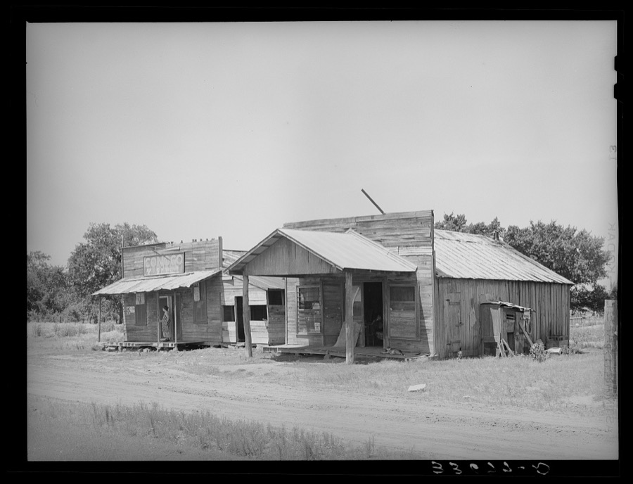
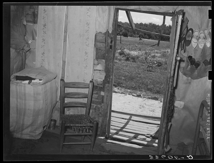
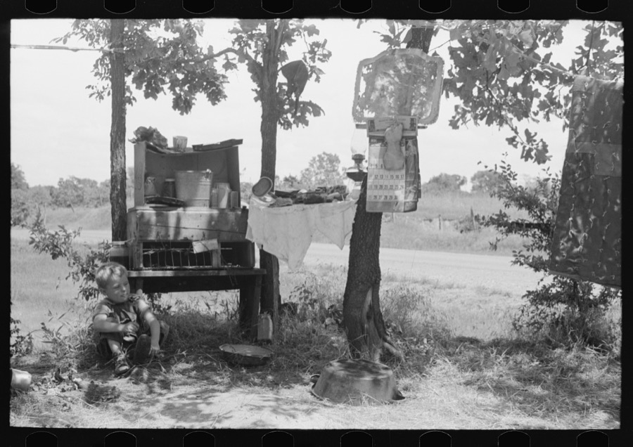
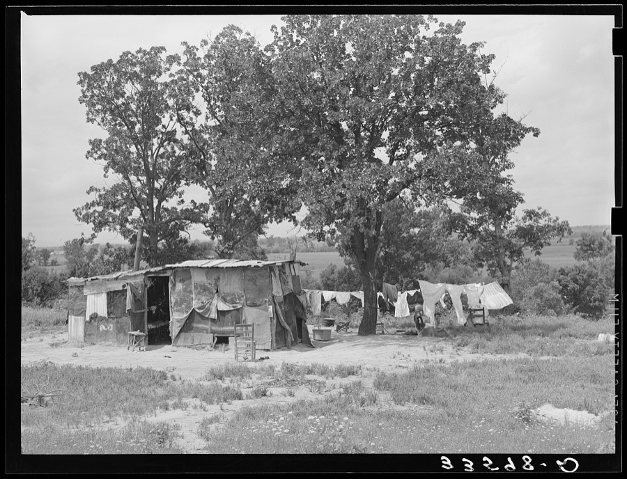
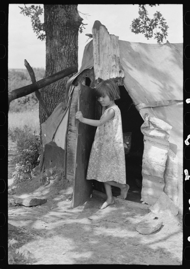
Taken for the Office of War Information and the Farm Security Administration, who photographed the country between 1935 and 1944. Works of United States government photographers, with no known restriction on use. Each opens its catalogue record.
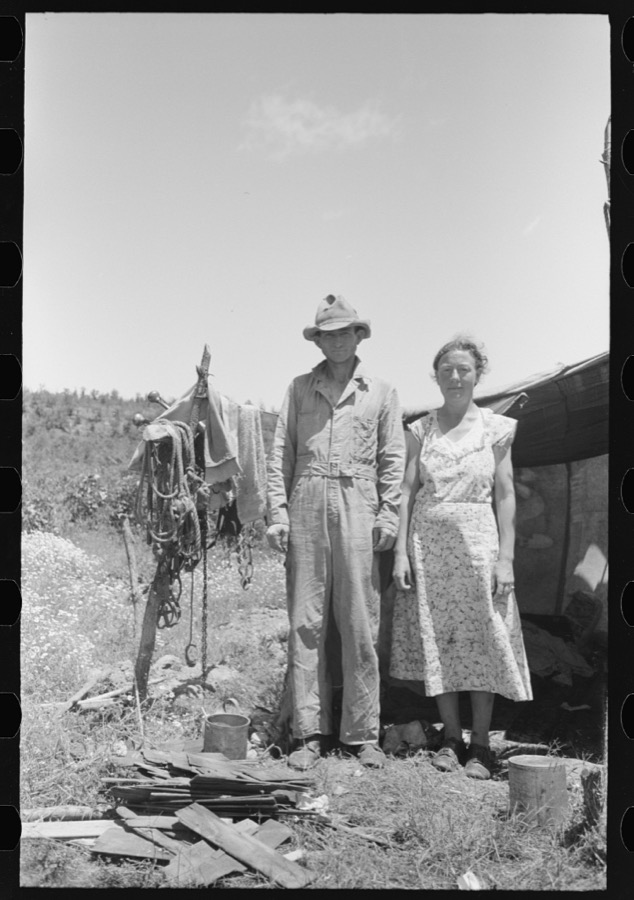
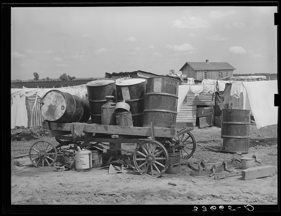
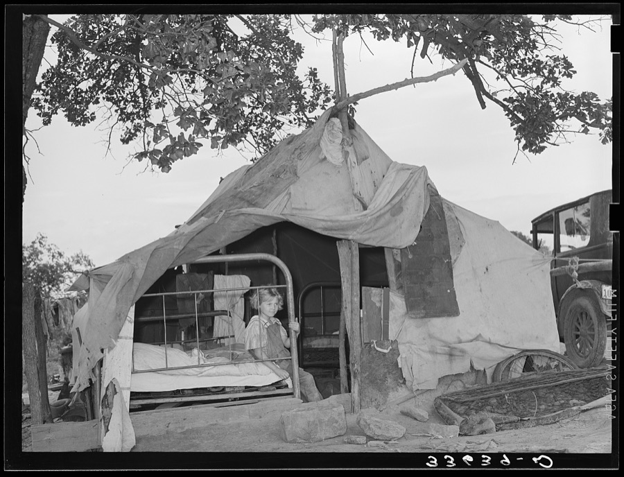

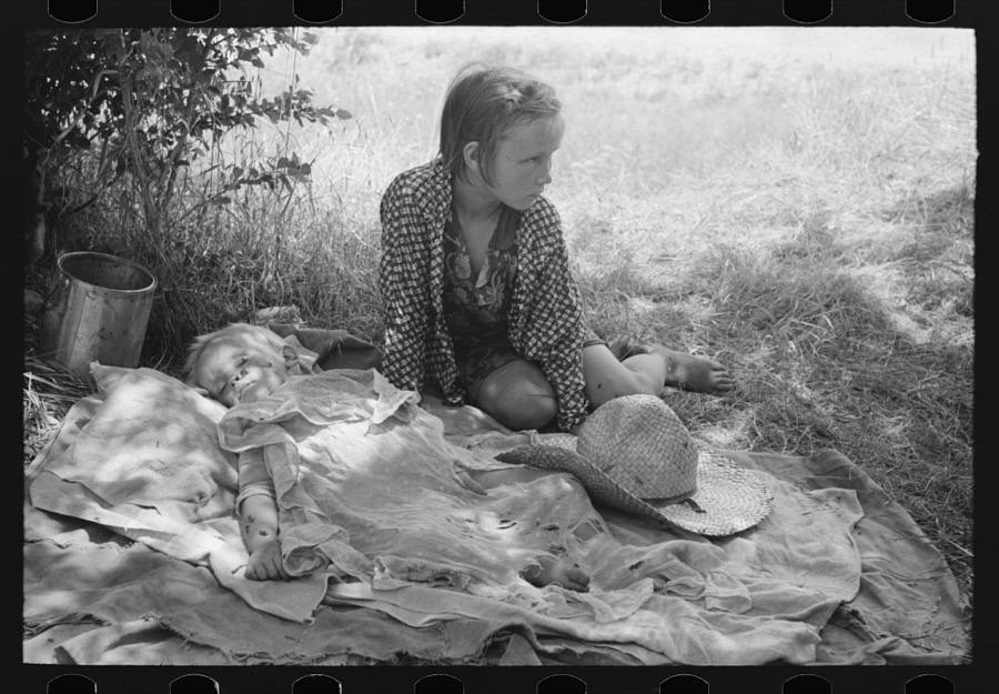
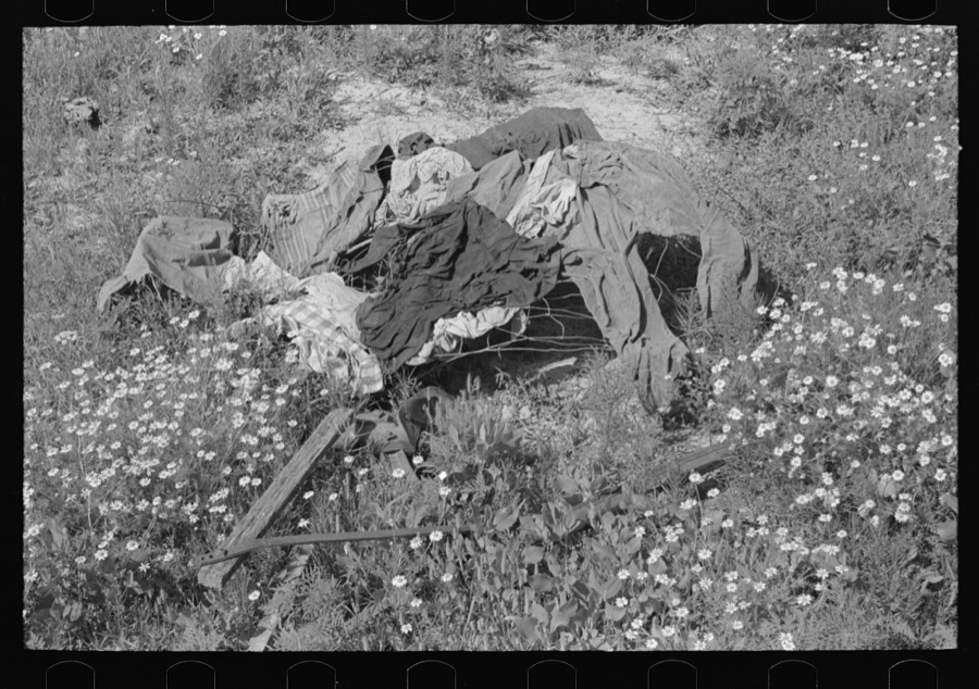
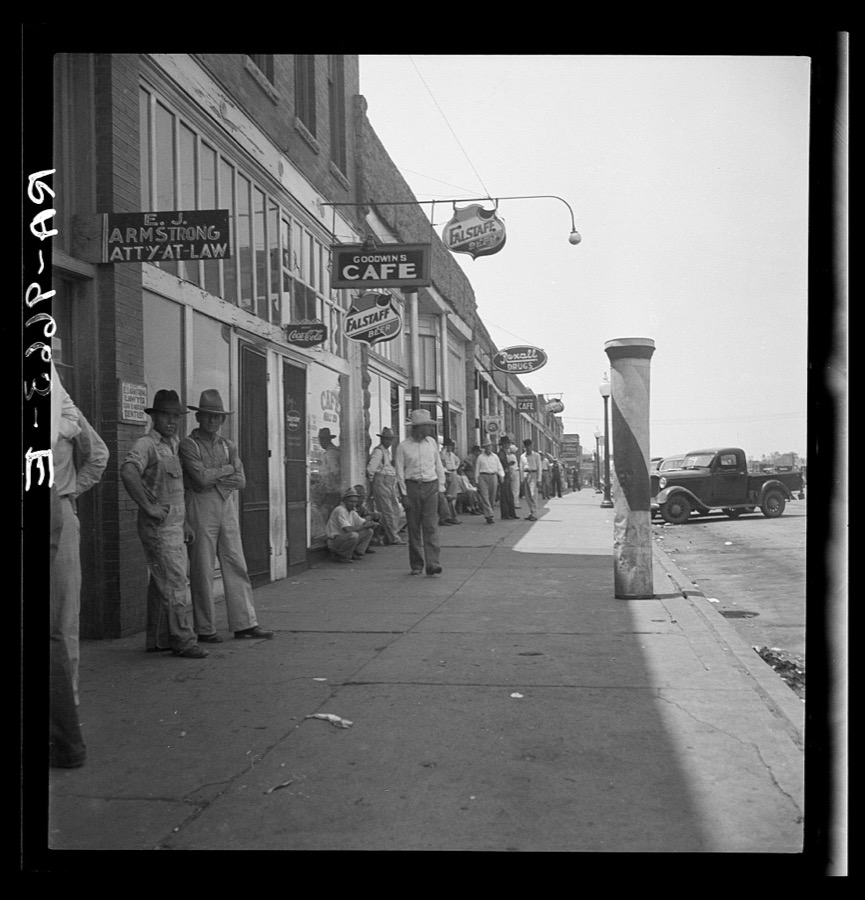
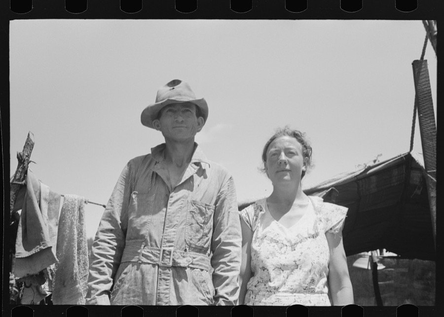
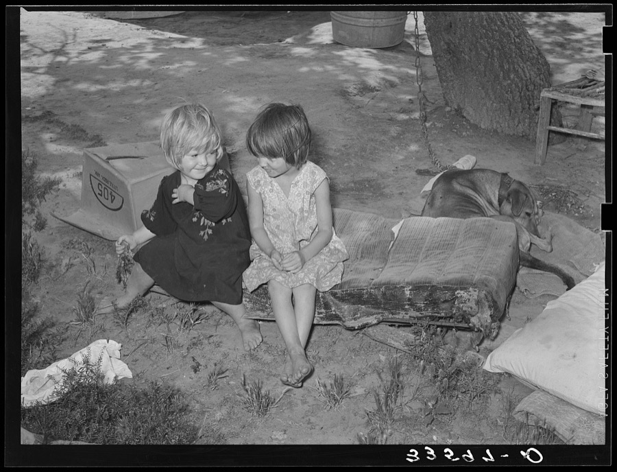
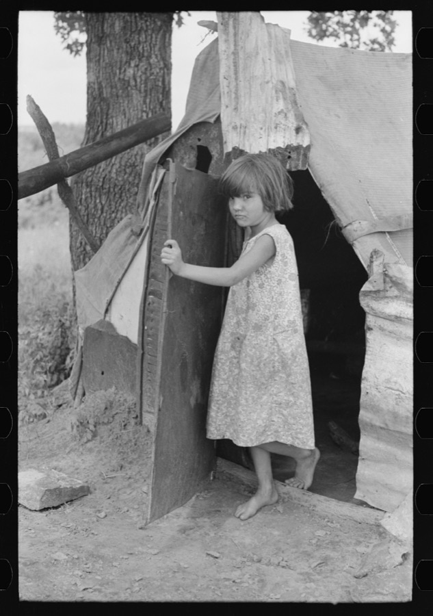
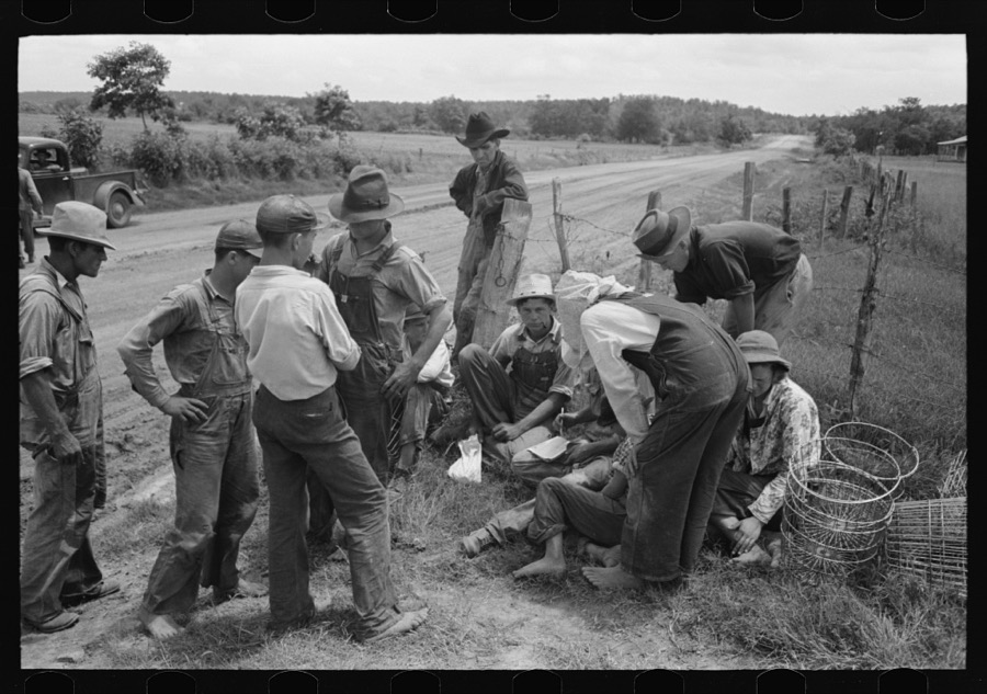
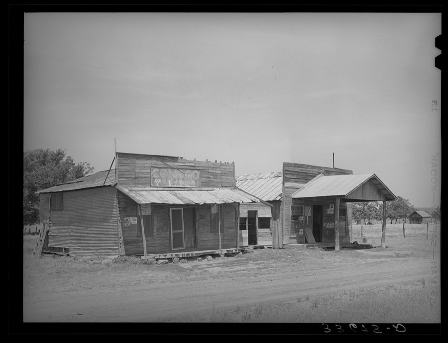
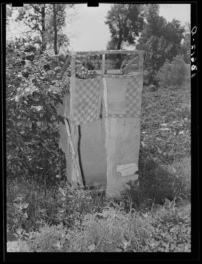










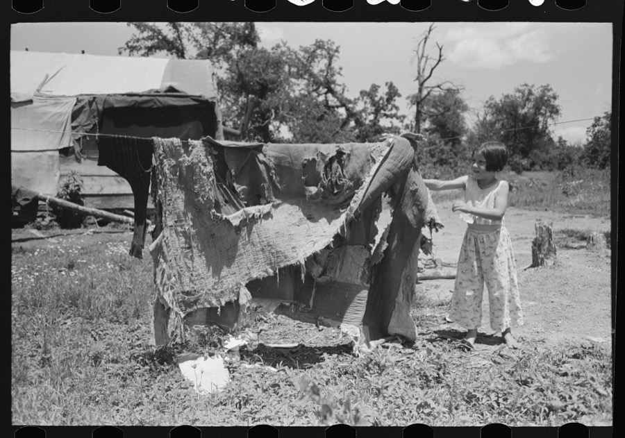

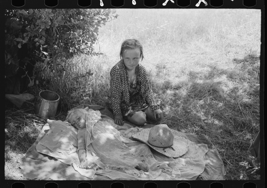


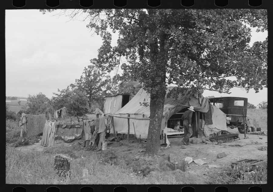
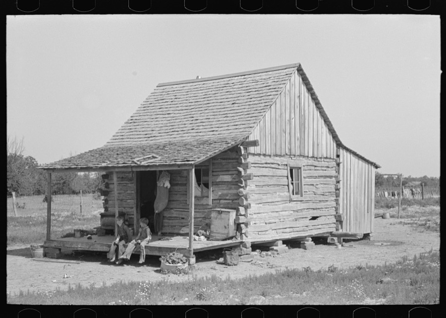

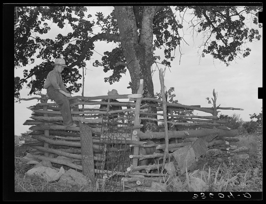
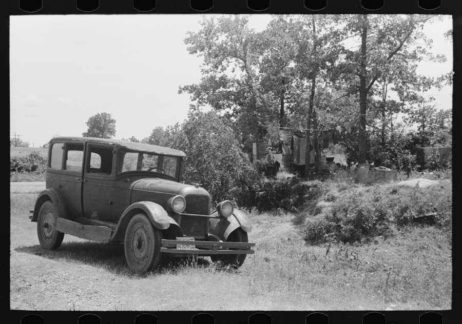
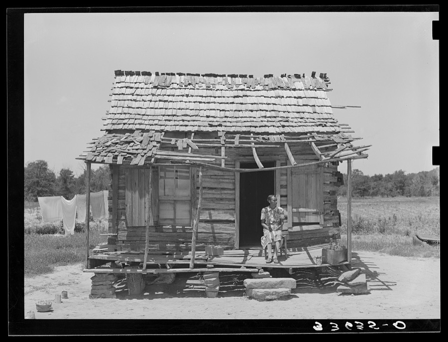
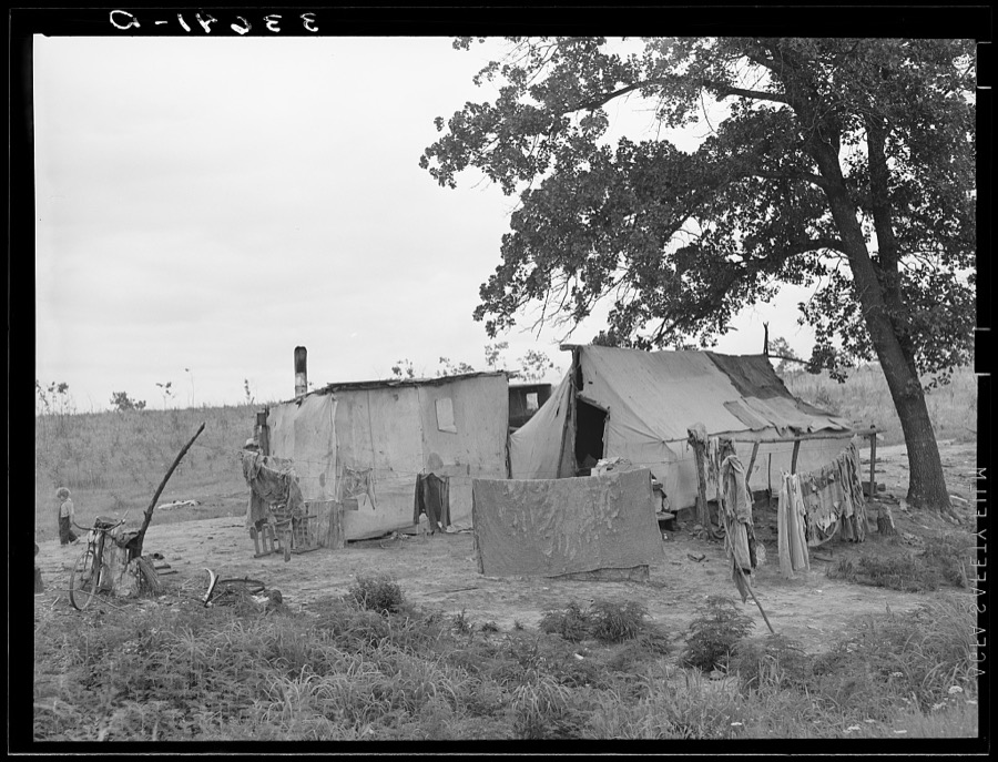
Every property in this county listed on the National Register of Historic Places, with the year it was listed and the federal nomination document.
| Photograph | Property | Type | Listed | Reference |
|---|---|---|---|---|
| Citizen's State Bank | building | 1980 | 80003300 | |
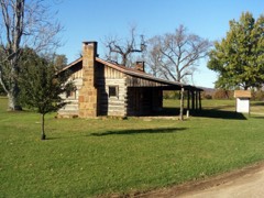 | Dwight Mission | building | 1973 | 73001570 |
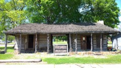 | Judge Franklin Faulkner House | building | 1980 | 80003301 |
 | First Presbyterian Church | building | 2003 | 03000096 |
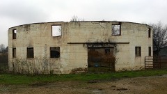 | Hines Round Barn | building | 1984 | 84003432 |
| Sallisaw High School | building | 1997 | 97000614 | |
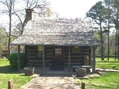 | Sequoyah's Cabin | building | 1966 | 66000634 |
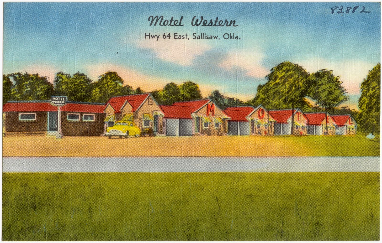
Selected from the Digital Public Library of America's 2 image records catalogued for this county. Every one shown here carries a public-domain status or a licence that permits reuse on a site that carries advertising; non-commercial, share-alike and restricted images are excluded. The selection is spread across the county's towns (at most eight per town), so no single institution's bulk upload crowds out the rest. Each opens the holding library's record, and the complete set at the Digital Public Library of America is one click away.
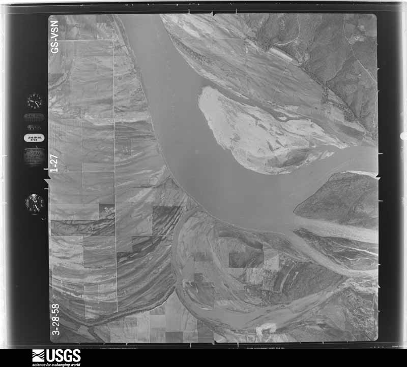
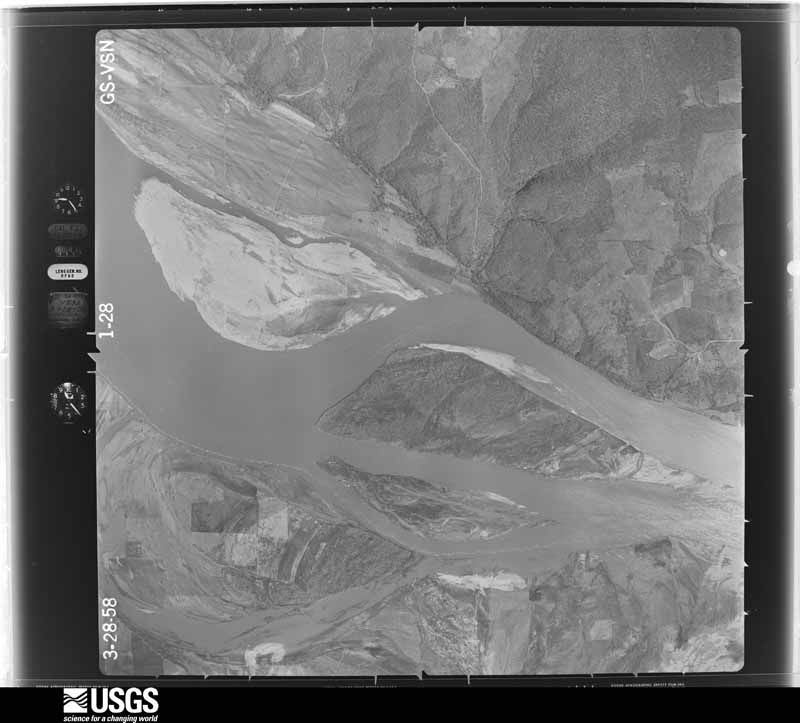
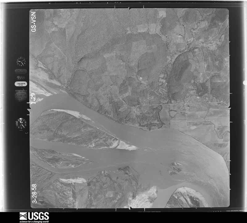
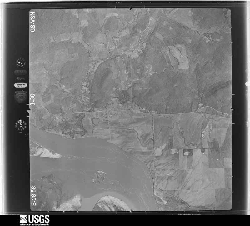
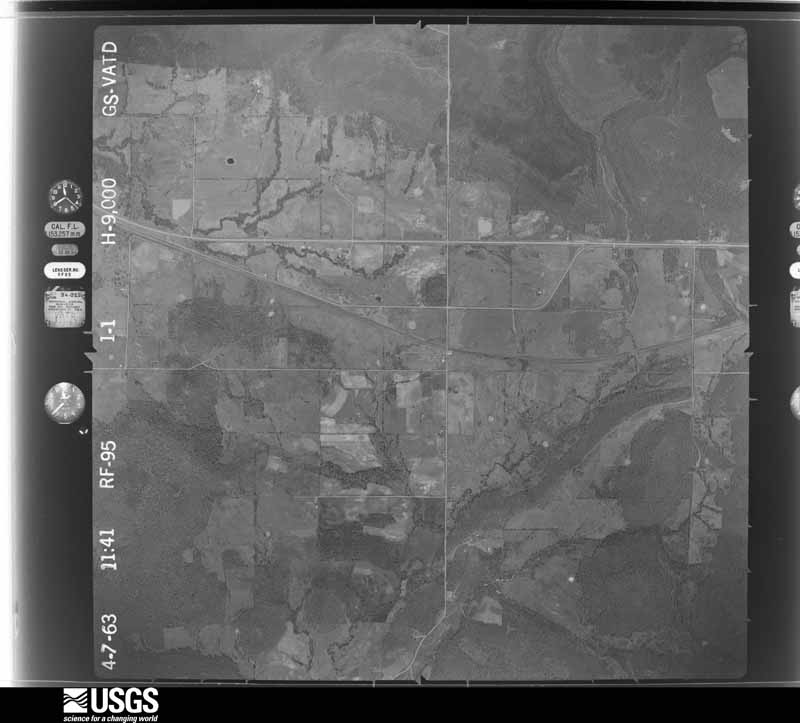
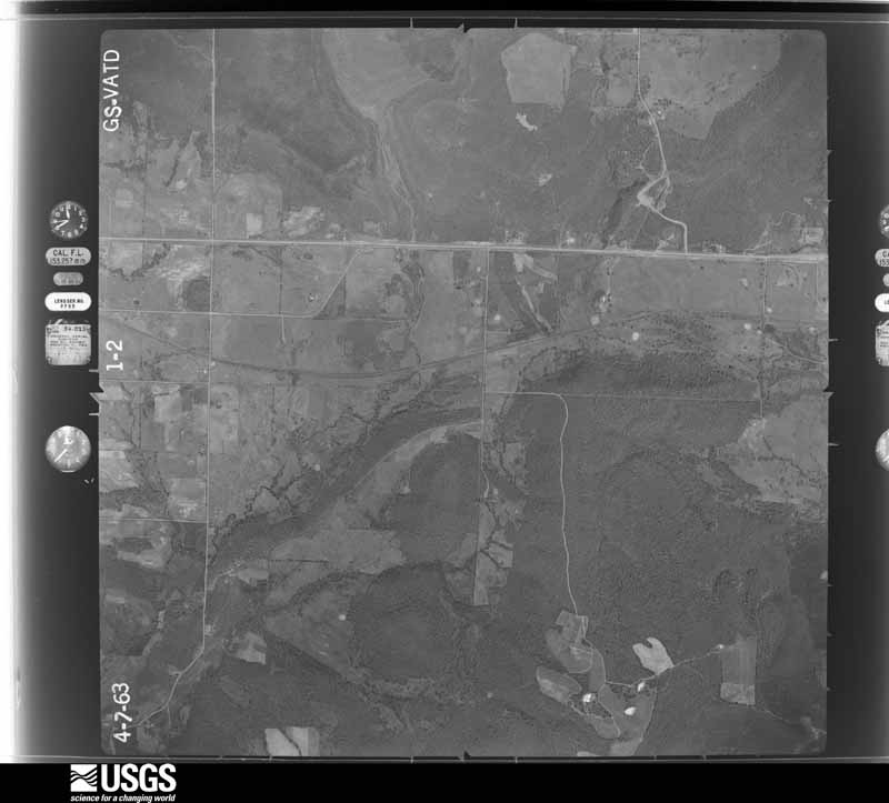
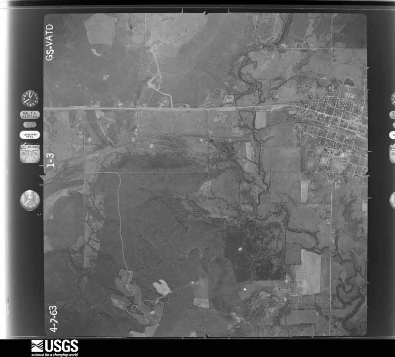
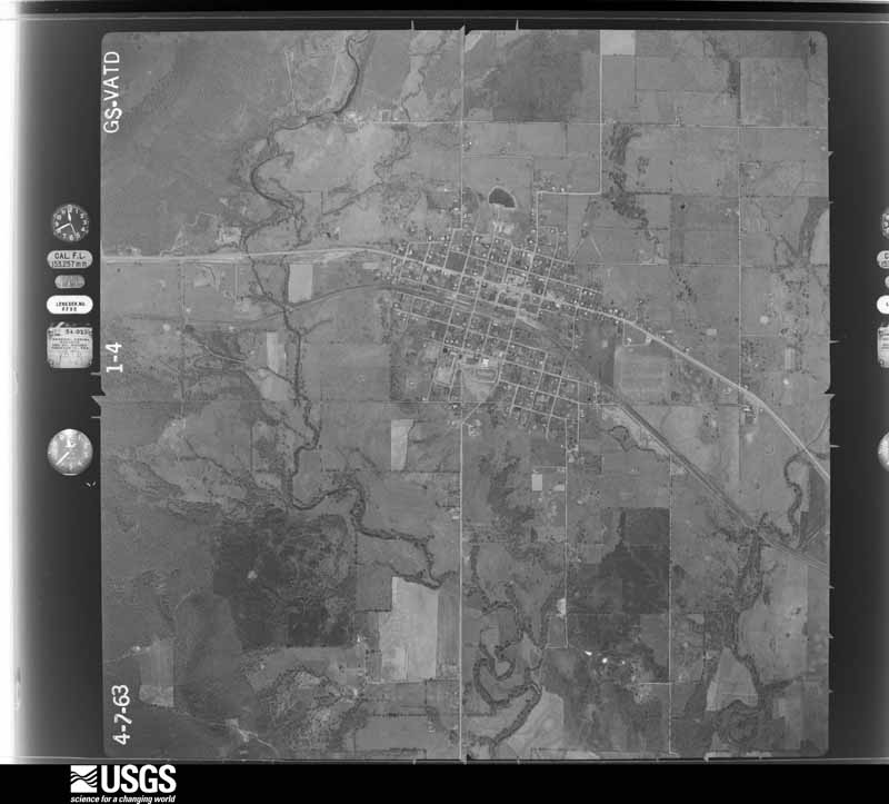
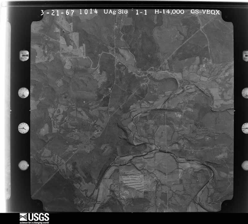
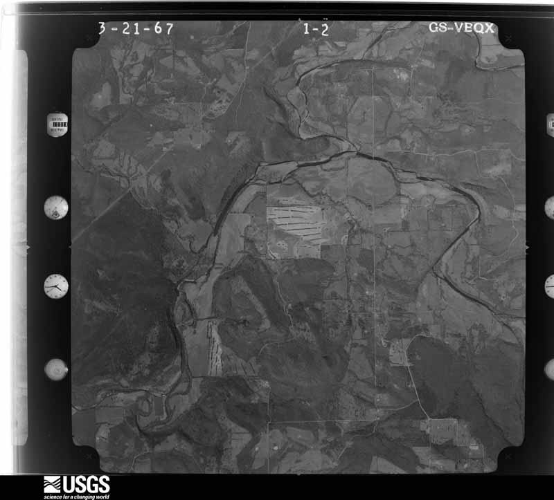
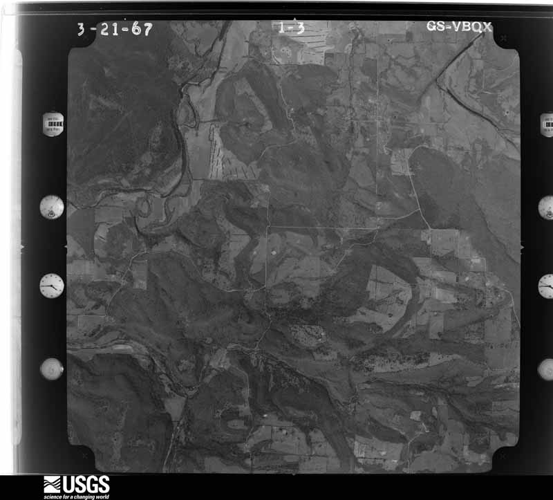
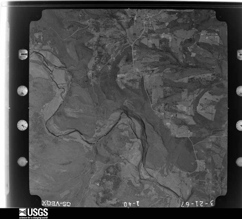
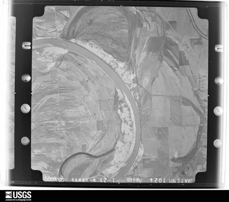
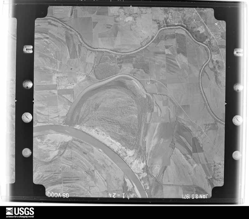
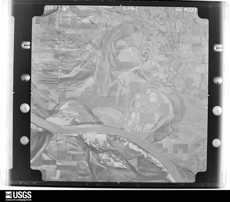
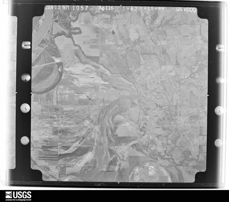
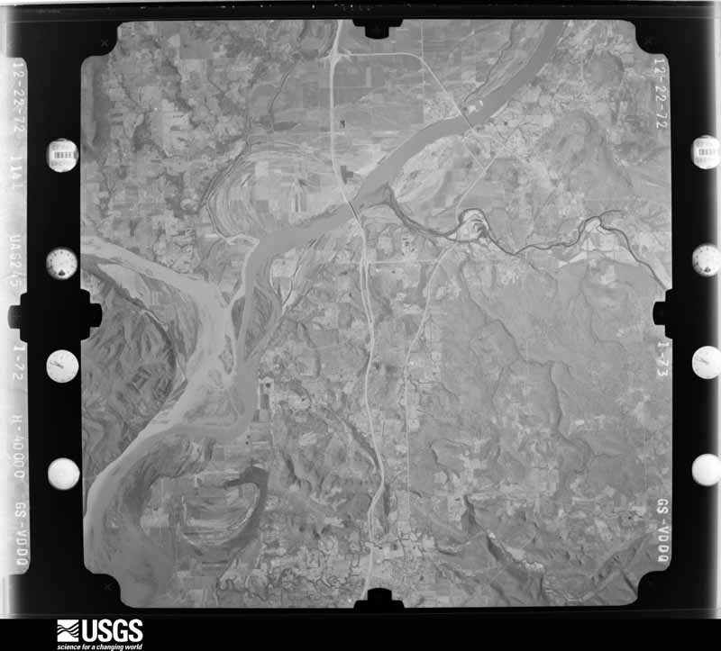
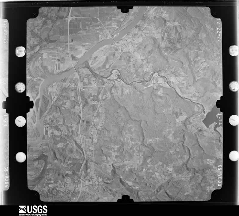
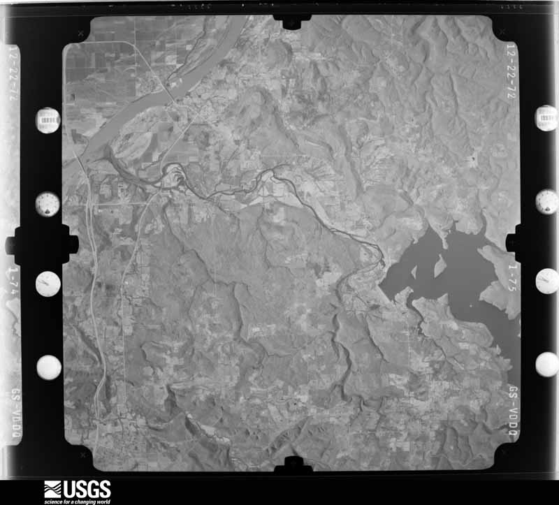
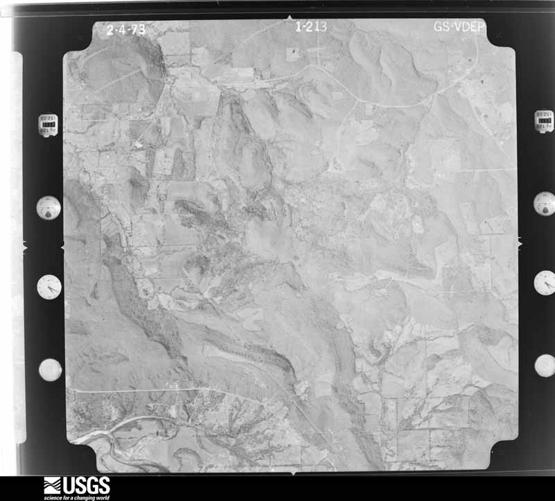
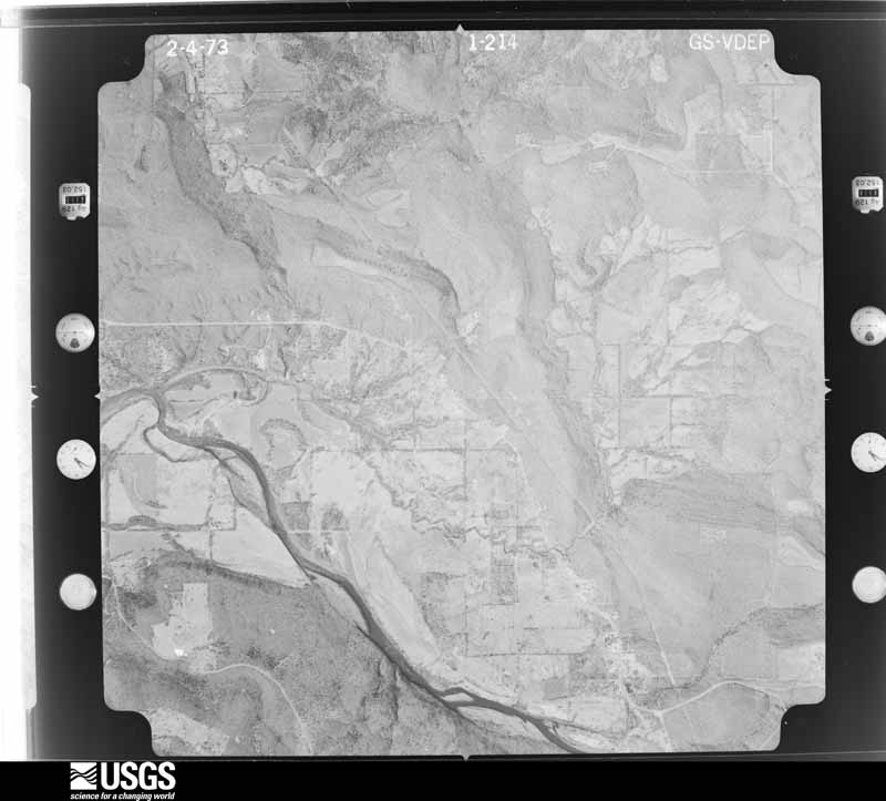
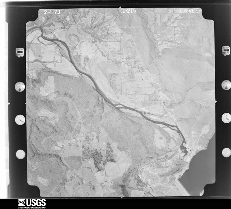
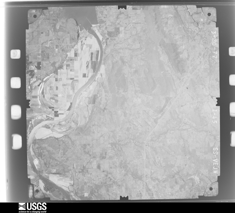
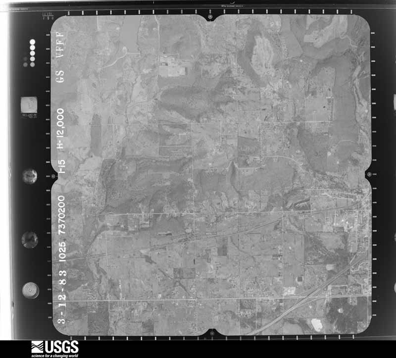
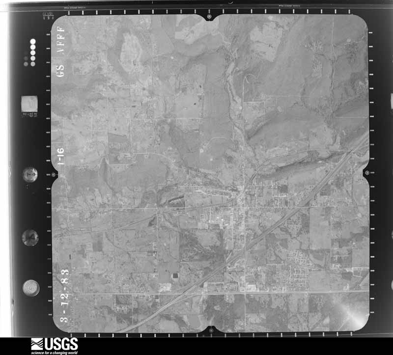
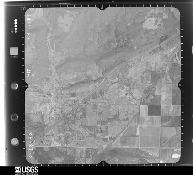
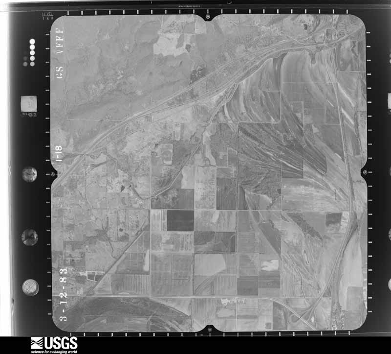
Flown by the U.S. Geological Survey between 1937 and 1989, the Aerial Photo Single Frames collection is the definitive mid-century view of the land: fields, roads and rivers as the camera saw them. The Survey holds 743 frames inside the rectangle that bounds this county; the 32 frames below were taken over the county itself, chosen across the decades of flights (at most four a year from that rectangle), so one flight cannot crowd out the rest. The full set is free to browse and download at EarthExplorer under the dataset Aerial Photo Single Frames.

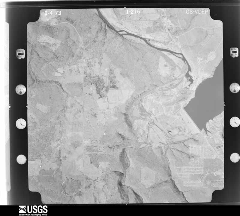
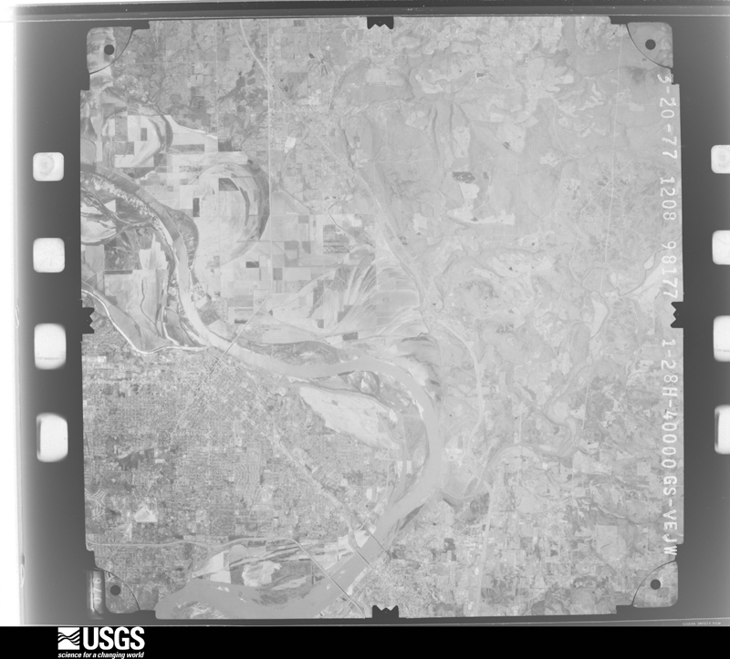
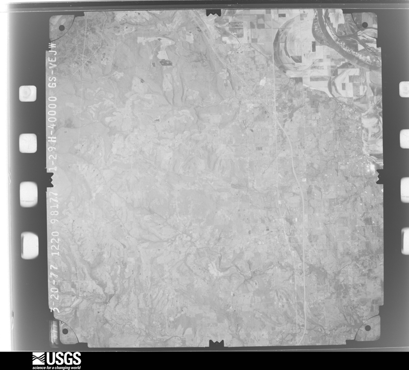
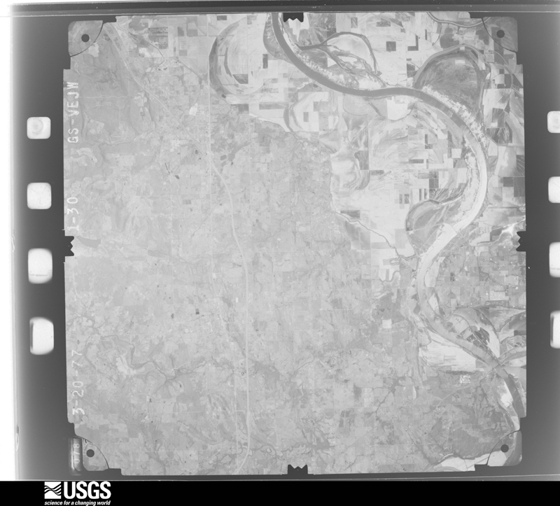
The thermometers that kept this county's weather, and the gages that measured the flow of its streams, as the federal records hold them. The extremes below are measured values from those records, not estimates.
Who lived here in 1950, one enumeration district at a time, as the Census Bureau described each district. Each row opens its official National Archives result, with Population Schedules and ED Maps available there.
Every wildfire the federal occurrence database records inside this county: 2,540 of them, burning about 74,717 acres. 72 started naturally and 1,043 were recorded as arson. Each settlement page carries the fires within five miles of it.
| Reported cause | Fires |
|---|---|
| Arson/incendiarism | 1043 |
| Missing data/not specified/undetermined | 701 |
| Debris and open burning | 423 |
| Equipment and vehicle use | 104 |
| Recreation and ceremony | 76 |
| Natural | 72 |
| Smoking | 60 |
| Misuse of fire by a minor | 31 |
| Railroad operations and maintenance | 27 |
| Power generation/transmission/distribution | 3 |
The five largest, by the area the report gives. Five of them were set deliberately.
| Date | Cause | Size | Reported by | Name on the report |
|---|---|---|---|---|
| 19 March 1995 | Arson/incendiarism | 2,770 acres | Ozark-St. Francis National Forests | LICK HOLLOW |
| 19 March 1994 | Missing data/not specified/undetermined | 1,530 acres | Oklahoma Division of Forestry | not named |
| 31 July 2006 | Missing data/not specified/undetermined | 1,320 acres | Oklahoma Division of Forestry | HAGAN MTN |
| 20 September 2000 | Arson/incendiarism | 1,200 acres | Cherokee Nation Tribe | CNA RES #7 |
| 19 September 2000 | Arson/incendiarism | 1,100 acres | Oklahoma Division of Forestry | not named |
| 29 August 2000 | Arson/incendiarism | 1,100 acres | Oklahoma Division of Forestry | not named |
| 2 February 1997 | Debris and open burning | 900 acres | Oklahoma Division of Forestry | not named |
| 10 March 2004 | Arson/incendiarism | 825 acres | Oklahoma Division of Forestry | DRY ROCK FIRE |
Every settlement page carries the fires within five miles of it - see the settlement index below.
The NOAA Storm Events Database holds 708 reports for this county, causing 20 deaths, 62 injuries and about $10,381,230 in recorded property damage. Each settlement page carries the reports that name it.
| Kind of event | Reports |
|---|---|
| Hail | 298 |
| Thunderstorm Wind | 265 |
| Flash Flood | 72 |
| Tornado | 60 |
| Flood | 10 |
| Lightning | 3 |
The most serious of them, by death, then injury, then recorded damage. The accounts are quoted exactly as the forecast office filed them.
| When | Event | Place named | Harm | What the report says |
|---|---|---|---|---|
| January 1957 | Tornado (F4) | not stated | 10 killed, 20 hurt, $250,000 | no account filed |
| May 1960 | Tornado (F4) | not stated | 5 killed, 13 hurt, $250,000 | no account filed |
| April 2004 | Flash Flood | Northeast Portion | 2 killed | Flooding occurred along Lee Creek in the northeast part of Sequoyah county on the 24th of April. This flooding resulted in two deaths. A camper with 3 occupants was swept away by the creek 2 miles north of Short at approximated 645 am cdt. An 85 year old man and a 54 year old woman were swept away by the flood waters and died. The third occupant, a 24 year old male, survived by clinging to a tree. |
| April 1999 | Lightning | Muldrow | 1 killed, 1 hurt | A 36-year old Muldrow man was killed by lightning while fishing in a tournament on the Arkansas River near Lock and Dam 14. A 24-year old companion was also struck by lightning, suffering severe burns on his right arm, shoulder and foot. |
| May 1960 | Tornado (F3) | not stated | 1 killed, $250,000 | no account filed |
| May 1960 | Tornado (F3) | not stated | 1 killed, $25,000 | no account filed |
| March 2006 | Thunderstorm Wind | Gans | 10 hurt, $25,000 | Thunderstorm winds estimated at 70 miles an hour damaged the roof of a school. Debris from the roof blew into a room where students were sheltering from the storm and injured 10 of the students. |
| May 1973 | Tornado (F3) | not stated | 6 hurt, $250,000 | no account filed |
| June 1988 | Thunderstorm Wind | not stated | 6 hurt | no account filed |
| May 1955 | Tornado (F1) | not stated | 2 hurt, $2,500 | no account filed |
| August 2005 | Lightning | Vian | 2 hurt | Lightning struck two boys who were helping their father work on a home that was under construction. The boys were transported to Saint Francis Hospital in Tulsa for treatment. |
| May 1968 | Tornado (F2) | not stated | 1 hurt, $25,000 | no account filed |
| May 1959 | Tornado (F2) | not stated | 1 hurt, $2,500 | no account filed |
| May 1960 | Tornado (F4) | not stated | $2,500,000 | no account filed |
| April 2008 | Thunderstorm Wind | Muldrow | $1,000,000 | Thunderstorm winds estimated up to 100 miles an hour and hail up to golfball size damaged 477 homes and 25 businesses along a couple of mile wide swath. Over 30 power poles were blown down leaving thousands without power. |
| July 2004 | Flash Flood | Countywide | $500,000 | Heavy thunderstorm rains which totalled 6.23 inches at Sallisaw and 4.25 inches near Gore caused extensive flash flooding across Sequoyah county. Several businesses suffered flood damage in Vian and a couple of home were flooded in Sallisaw. Numerous roads across the county including Highway 64 near Vian, Sallisaw and Muldrow were flooded. County roads were severely damaged in places and total damage to infrastructive was estimated at $284,000. |
| March 2008 | Flash Flood | Blackgum | $300,000 | Heavy rain flooded numerous roads across the county, several of which had portions that were washed out. |
| September 2025 | Thunderstorm Wind | Sallisaw | $250,000 | Strong thunderstorm wind blew off much of the metal roof from a hospital, blew down several trees and power poles, and snapped large tree limbs. |
| June 2000 | Flash Flood | Countywide | $250,000 | Heavy thunderstorm rains including 3.90 inches at Marble City caused widespread flooding of rural roads around Sequoyah county. The flooding washed out a few gravel roads and damaged some bridges. A few of the major roads closed included Highway 141 near Gans and Highway 64B 2 miles north of Muldrow. |
| May 1986 | Tornado (F1) | not stated | $250,000 | no account filed |
| March 1984 | Tornado (F1) | not stated | $250,000 | no account filed |
| May 1982 | Tornado (F2) | not stated | $250,000 | no account filed |
| May 1960 | Tornado (F3) | not stated | $250,000 | no account filed |
| April 2008 | Flash Flood | Muldrow | $200,000 | Heavy rains flooded rural roads in the southeast part of the county. Moffet and Roland cancelled school due to the flooded roads. The flooding caused damage to roads and bridges. |
| November 2018 | Tornado (EF1) | Blackgum | $150,000 | This is the first segment of a six segment tornado. This long-track tornado developed near Blackgum where homes were damaged, barns and outbuildings were destroyed, and trees were snapped. The tornado moved north-northeast, snapping and uprooting numerous trees as it approached an inlet of Lake Tenkiller, and crossed into Cherokee County. Based on this damage, maximum estimated wind in this segment of the tornado was 100 to 110 mph. |
| May 2010 | Tornado (EF1) | Gore | $150,000 | The tornado that developed northwest of Webbers Falls in Muskogee County continued into Sequoyah County where it damaged docks on Tenkiller Lake, damaged several homes, snapped or uprooted numerous trees, and blew down power poles. The estimated peak wind in the tornado based on this damage was 110 mph. |
| February 2022 | Thunderstorm Wind | Brent | $125,000 | Strong thunderstorm wind destroyed three outbuildings, damaged the roofs of two homes, and blew down several trees. |
| May 2022 | Hail | Gore | $100,000 | Tennis ball size hail damaged homes, businesses, and vehicles. |
| May 2021 | Tornado (EF1) | Muldrow | $100,000 | This is the first segment of a two segment tornado. This tornado developed on the east side of Muldrow, Oklahoma, uprooting trees and snapping large tree limbs. It moved east-northeast passing just north of Roland, where trees were snapped, power poles were snapped, outbuildings were destroyed, and several homes were damaged. The tornado then moved northeast uprooting trees, snapping power poles, and damaging outbuildings as it approached the state line. Based on this damage, maximum estimated wind in this segment of the tornado was 100 to 110 mph. The tornado continued into Crawford County, Arkansas. |
| May 2020 | Tornado (EF0) | Blackgum | $100,000 | This tornado destroyed boat storage units, blew down power poles, and snapped large tree limbs. It was observed by storm chasers. Based on the damage, maximum estimated wind in the tornado was 80 to 85 mph. |
| March 2013 | Tornado (EF1) | Sallisaw Arpt | $100,000 | A tornado developed atop a ridge south-southwest of Sallisaw. The tornado destroyed several wood-framed barns and snapped large tree limbs on top of the ridge then moved southeast damaging a permanent home and snapping power poles as it crossed Highway 59. Based on this damage, maximum estimated wind in the tornado was 100 to 110 mph. |
| May 2011 | Hail | Sallisaw | $100,000 | Hail larger than baseball size was reported in and near town by the public, the broadcast media, and amateur radio operators. The hail damaged homes, businesses, and automobiles. |
| September 2010 | Flash Flood | Vian | $100,000 | The Sequoyah County Sheriff's Office reported numerous road closures in and around Vian. High water also flooded numerous streets in and around Sallisaw. Several homes and businesses were flooded in town and several county roads were washed out. The Sallisaw Middle School was damaged by flooding. Vehicles were stranded in high water, necessitating water rescues. |
| April 2008 | Hail | Moffett | $100,000 | West facing windows of homes were broken out. The paint on the west side of one house was partially removed. |
| April 2005 | Thunderstorm Wind | Sadie | $100,000 | Strong thunderstorm wind snapped large tree limbs, uprooted trees, produced minor damage to homes, and damaged small metal buildings in a several mile-wide swath from near the shoreline of Robert S. Kerr Reservoir to the west and north sides of Sallisaw. The horse track on the west side of Sallisaw sustained roof damage to the main building, which resulted in subsequent water damage as water flowed through the roof into the building. Several horse stables also sustained major damage. |
| May 2005 | Flash Flood | Vian | $100,000 | Two feet of water was reported in a store and a number of streets were flooded. |
| January 2002 | Thunderstorm Wind | Sallisaw | $100,000 | Thunderstorm winds estimated at 70 miles an hour produced damage to various objects along Kerr Lake to the southwest of Sallisaw. The damage included a small garage blown off its foundation, a travel trailer which was blown over, a chicken house which was blown off its foundation and a porch which was blown off a house. |
| May 1999 | Tornado (F1) | Hanson | $90,000 | An F1 tornado touchdown south of Akins destroyed several barns, damaged several house roofs, and caused extensive tree damage. One house had half of its roof crushed by a tree, and outbuildings and a tractor shed were destroyed. Another home was damaged by trees and blowing debris, and a mobile home was moved off of its foundation. Another mobile home was crushed by a tree. |
| July 2016 | Thunderstorm Wind | Sallisaw | $75,000 | Strong thunderstorm wind blew the roof off of a business. |
| July 2023 | Thunderstorm Wind | Roland | $50,000 | Strong thunderstorm wind blew out the front windows of a business, and caused structural damage to the store. |
| May 2022 | Hail | Sallisaw | $50,000 | Golf ball size hail damaged homes, businesses, and vehicles. |
| June 2022 | Flood | Sallisaw | $50,000 | Homes and buildings were flooded on the west side of town. |
| September 2010 | Flash Flood | Blackgum | $50,000 | Numerous secondary roads across the county were barricaded or washed out due to high water. |
| August 2008 | Flash Flood | Vian | $50,000 | Heavy rain caused a few roads near Vian to be flooded. Caddo Creek Road was washed out. |
| August 2003 | Thunderstorm Wind | Roland | $50,000 | Thunderstorm winds estimated at 70 miles an hour caused some damage in and near Roland. A trailer at a RV dealership was blown over in town and a church west of town lost a porch roof. The roof fell on a van. |
| August 2003 | Thunderstorm Wind | Sallisaw | $50,000 | Thunderstorm winds produced by a microburst estimated at 70 miles an hour tore the roofs off of five metal barns at Blue Ribbon Downs. Although three horses were injured, no people were hurt. |
| September 1993 | Thunderstorm Wind | Sallisaw | $50,000 | no account filed |
| May 2025 | Tornado (EF1) | Gore | $35,000 | This is the second segment of a two segment tornado. The tornado moved into Sequoyah County west of Gore, and continued to move east-northeast across the north side of Gore. It uprooted trees, snapped large tree limbs, and damaged outbuildings until it dissipated north of the E 1000 Road and east of the S 4469 Road. It produced a tornadic debris signature from the KSRX WSR-88D. Based on this damage, maximum estimated wind in this segment of the tornado was 90 to 100 mph. |
| November 2011 | Thunderstorm Wind | Muldrow | $35,000 | The roof was blown off one downtown business. Numerous trees were also blown down and one barn was destroyed by strong thunderstorm wind. |
| June 2025 | Tornado (EF1) | Vian | $30,000 | This tornado developed west of Vian, between I-40 and Highway 64. The tornado moved east-southeast along and just north of I-40 to the vicinity of the Vian exit on I-40. The tornado continued east-southeast down I-40, and then crossed Highway 64 near the E 1060 Road. It then turned east, moving along the E 1060 Road for about 1.6 miles before turning the northeast and dissipating near McKey Road, southwest of the community of McKey. The tornado uprooted trees, and damaged barns and homes. Based on this damage, maximum estimated wind in the tornado was 90 to 95 mph. |
| May 2021 | Tornado (EF1) | Paw Paw | $30,000 | This is the first segment of a four segment tornado. The tornado developed southeast of Muldrow, where trees were uprooted. It moved northeast uprooting trees, toppling multiple center-pivot irrigation systems, and snapping power poles to near Moffett. Based on this damage, maximum estimated wind in this segment of the tornado was 95 to 105 mph. The tornado continued into Crawford County, Arkansas. |
| October 1998 | Flash Flood | Countywide | $30,000 | Small roads were washed out by Cato Creek 1.5 miles northeast of Blackgum. Water covered the road near Tenkiller Dam. |
| August 2021 | Flash Flood | Vian | $25,000 | Portions of the E 1020 Road, where it crosses Little Vian Creek, were flooded and impassable. Flood water washed away portions of the S 4550 Road. |
| October 2018 | Thunderstorm Wind | Sallisaw | $25,000 | Strong thunderstorm wind destroyed two barns and snapped large tree limbs across a small area on the northwest side of Sallisaw. |
| April 2016 | Tornado (EF1) | Foreman | $25,000 | This tornado snapped or uprooted numerous trees, and damaged the roofs of several homes. Based on this damage, maximum estimated wind in the tornado was 100 to 110 mph. |
| May 2015 | Flash Flood | Muldrow | $25,000 | Portions of the E1100 Road were washed out by flooding. |
| May 2015 | Flash Flood | Gans | $25,000 | A small bridge was washed out by flooding. The 1070 Road was closed due to high water. |
| May 2013 | Thunderstorm Wind | Vian | $25,000 | Strong thunderstorm wind blew down trees onto homes and cars. |
| May 2007 | Flash Flood | Sallisaw | $25,000 | Heavy rains caused a house and a school to be flooded. Neighboring streets were also flooded. |
| August 2006 | Thunderstorm Wind | Sallisaw | $25,000 | Thunderstorm winds estimated at 80 miles an hour blew the roof of an elementary school building. Numeorus power lines and 50 trees were also blown down. |
The Survey's mineral resources record lists 58 workings inside this county. 4 still produce and 54 are closed or unrecorded. Each settlement page carries the workings within five miles of it.
| Commodity | Workings |
|---|---|
| Sand and Gravel, Construction | 30 |
| Clay | 16 |
| Stone, Crushed/Broken | 12 |
The least common of them first, because a county's hundredth gravel pit says nothing its first ten did not.
| Where | Site | Commodity | Status | Recorded |
|---|---|---|---|---|
| Marble City Mine #2 & Mill | Stone, Crushed/Broken | Producer | ||
| Unknown Limestone Pit | Stone, Crushed/Broken | Past Producer | ||
| Unknown Limestone Pit | Stone, Crushed/Broken | Past Producer | ||
| Unknown Limestone Pit | Stone, Crushed/Broken | Past Producer | ||
| Unknown Limestone Pit | Stone, Crushed/Broken | Past Producer | ||
| Unknown Sandstone Pit | Stone, Crushed/Broken | Past Producer | ||
| Unknown Sandstone Pit | Stone, Crushed/Broken | Past Producer | ||
| Unknown Sandstone Pit | Stone, Crushed/Broken | Past Producer | ||
| Unknown Sandstone Pit | Stone, Crushed/Broken | Past Producer | ||
| Unknown Sandstone Pit | Stone, Crushed/Broken | Past Producer | ||
| Unknown Sandstone Pit | Stone, Crushed/Broken | Past Producer | ||
| Unknown Sandstone Pit | Stone, Crushed/Broken | Past Producer | ||
| Unknown Shale Pit | Clay | Producer | ||
| Unknown Shale Pit | Clay | Past Producer | ||
| Unknown Shale Pit | Clay | Past Producer | ||
| Unknown Shale Pit | Clay | Past Producer | ||
| Unknown Shale Pit | Clay | Past Producer | ||
| Unknown Shale Pit | Clay | Past Producer | ||
| Unknown Shale Pit | Clay | Past Producer | ||
| Unknown Shale Pit | Clay | Past Producer | ||
| Unknown Shale Pit | Clay | Past Producer | ||
| Unknown Shale Pit | Clay | Past Producer | ||
| Unknown Shale Pit | Clay | Past Producer | ||
| Unknown Shale Pit | Clay | Past Producer | ||
| Unknown Shale Pit | Clay | Producer | ||
| Unknown Shale Pit | Clay | Past Producer | ||
| Unknown Shale Pit | Clay | Past Producer | ||
| Unknown Shale Pit | Clay | Past Producer | ||
| Unknown Gravel Pit | Sand and Gravel, Construction | Past Producer | ||
| Unknown Gravel Pit | Sand and Gravel, Construction | Past Producer | ||
| Unknown Gravel Pit | Sand and Gravel, Construction | Past Producer | ||
| Unknown Gravel Pit | Sand and Gravel, Construction | Past Producer | ||
| Unknown Gravel Pit | Sand and Gravel, Construction | Past Producer | ||
| Unknown Gravel Pit | Sand and Gravel, Construction | Past Producer | ||
| Unknown Gravel Pit | Sand and Gravel, Construction | Past Producer | ||
| Unknown Gravel Pit | Sand and Gravel, Construction | Past Producer | ||
| Unknown Gravel Pit | Sand and Gravel, Construction | Past Producer | ||
| Unknown Gravel Pit | Sand and Gravel, Construction | Past Producer | ||
| Unknown Gravel Pit | Sand and Gravel, Construction | Past Producer | ||
| Unknown Gravel Pit | Sand and Gravel, Construction | Past Producer | ||
| Unknown Gravel Pit | Sand and Gravel, Construction | Past Producer | ||
| Unknown Gravel Pit | Sand and Gravel, Construction | Past Producer | ||
| Unknown Gravel Pit | Sand and Gravel, Construction | Past Producer | ||
| Unknown Gravel Pit | Sand and Gravel, Construction | Past Producer | ||
| Unknown Gravel Pit | Sand and Gravel, Construction | Past Producer | ||
| Unknown Gravel Pit | Sand and Gravel, Construction | Past Producer | ||
| Unknown Gravel Pit | Sand and Gravel, Construction | Past Producer | ||
| Unknown Gravel Pit | Sand and Gravel, Construction | Past Producer | ||
| Unknown Gravel Pit | Sand and Gravel, Construction | Past Producer | ||
| Unknown Gravel Pit | Sand and Gravel, Construction | Producer | ||
| Unknown Gravel Pit | Sand and Gravel, Construction | Past Producer | ||
| Unknown Gravel Pit | Sand and Gravel, Construction | Past Producer | ||
| Unknown Gravel Pit | Sand and Gravel, Construction | Past Producer | ||
| Unknown Gravel Pit | Sand and Gravel, Construction | Past Producer | ||
| Unknown Gravel Pit | Sand and Gravel, Construction | Past Producer | ||
| Unknown Sand Pit | Sand and Gravel, Construction | Past Producer | ||
| Unknown Sand Pit | Sand and Gravel, Construction | Past Producer | ||
| Unknown Sand Pit | Sand and Gravel, Construction | Past Producer |
Named settlements recorded in the Geographic Names Information System, each with the topographic sheets covering it. Villages, hamlets and abandoned places alike. Each is shown with the nearest named watercourse or landform and the survey quadrangle it falls on. The 7 places that were also surveyed for fire insurance come first, with the number of atlases and photographs held for them.
Vian census division · 74435 · Near Round Mountain · Gore quadrangle
20 sheets, 1901 to 1978
Fire insurance: 2 atlases
Muldrow census division · 74955 · Near Burrow Mountain · Gans quadrangle
14 sheets, 1900 to 1978
Fire insurance: 3 atlases
Muldrow census division · 74948 · Near Turnham Mountain · Muldrow quadrangle
14 sheets, 1900 to 1978
Fire insurance: 7 atlases
Sallisaw census division · 74955 · On Hog Creek · Sallisaw quadrangle
15 sheets, 1900 to 1978
Fire insurance: 8 atlases
Vian census division · 74962 · Vian quadrangle
16 sheets, 1900 to 1978
Fire insurance: 7 atlases
Sallisaw North census division · 74955 · On Cedar Creek · Brushy quadrangle
18 sheets, 1898 to 1978
Muldrow census division · 74948 · On Little Skin Bayou · Fort Coffee quadrangle
15 sheets, 1900 to 1978
Roland census division · 74948 · Near Eagle Mountain · Nicut quadrangle
18 sheets, 1898 to 1978
Vian census division · 74962 · Near Round Mountain · Gore quadrangle
20 sheets, 1901 to 1978
Roland census division · 74948 · Near Rabbit Hollow · Nicut quadrangle
18 sheets, 1898 to 1978
Sallisaw North census division · 74962 · Near Schoolhouse Mountain · Marble City quadrangle
17 sheets, 1898 to 1978
Vian census division · 74962 · Near Blackgum Mountain · Blackgum quadrangle
20 sheets, 1898 to 1978
Muldrow census division · 74948 · Near Turnham Mountain · Muldrow quadrangle
14 sheets, 1900 to 1978
Sallisaw North census division · 74931 · Near Hastings Hollow · Marble City quadrangle
17 sheets, 1898 to 1978
Muldrow census division · 74936 · Near Krumpe Mountain · Gans quadrangle
14 sheets, 1900 to 1978
Vian census division · 74435 · Near Round Mountain · Gore quadrangle
20 sheets, 1901 to 1978
Vian census division · 74955 · On Shiloh Branch · Sallisaw quadrangle
15 sheets, 1900 to 1978
Roland census division · 74948 · Near O'Neal Hill · Muldrow quadrangle
14 sheets, 1900 to 1978
Vian census division · 74435 · Near Merford Ridge · Gore quadrangle
20 sheets, 1901 to 1978
No longer a settlement
Sallisaw North census division · 74945 · Near Payne Hollow · Marble City quadrangle
17 sheets, 1898 to 1978
Vian census division · 74435 · On Linder Branch · Qualls quadrangle
19 sheets, 1901 to 1978
Sallisaw North census division · 74962 · Near Schoolhouse Mountain · Blackgum quadrangle
20 sheets, 1898 to 1978
Vian census division · 74962 · On Red Bird Smith Creek · Gore quadrangle
20 sheets, 1901 to 1978
Roland census division · 74948 · Near Dead Man Hollow · Nicut quadrangle
18 sheets, 1898 to 1978
Roland census division · 74954 · Near Mayfield Mountain · Muldrow quadrangle
14 sheets, 1900 to 1978
Muldrow census division · 74955 · On Sallisaw Creek · Sallisaw quadrangle
15 sheets, 1900 to 1978
Sallisaw North census division · 74955 · On Prairie Creek · Gans quadrangle
14 sheets, 1900 to 1978
Roland census division · 74948 · Near Moffett Bottom · Muldrow quadrangle
14 sheets, 1900 to 1978
Roland census division · 74948 · Near Blackbird Mountain · Uniontown quadrangle
16 sheets, 1898 to 1978
Sallisaw North census division · 74955 · Near Wildcat Hollow · Brushy quadrangle
18 sheets, 1898 to 1978
The vanished settlements of Sequoyah County: the places named above that are no longer on the map.
15 topographic sheets and 8 fire insurance atlases, 1896 to 1933
14 topographic sheets and 7 fire insurance atlases, 1896 to 1925
16 topographic sheets and 7 fire insurance atlases, 1899 to 1927
14 topographic sheets and 3 fire insurance atlases, 1896 to 1901
0 topographic sheets and 3 fire insurance atlases, 1896 to 1901
The complete index, with nothing left out. Each of these is a separate record with its own page: a federal survey report, or the case file that argued a property on to the National Register. Both are public domain and reproduced word for word.
The vanished settlements of Sequoyah County, the places these records name that are no longer on the map.