 Block
Norman, Oklahoma
20 topographic sheets cover this place, the earliest surveyed in 1893 and the latest in 1995. It stands in the Norman census division. It lies in ZIP code area 73069. The Survey maps it on the Norman quadrangle. 128,026 people lived here at the 2020 count. It stands 1,171 feet above sea level.
Research this city
On record in Norman
Buildings and businesses the archive holds for this place. Each opens its own page, with the source record it came from.
On the National Register 12 of 25 shown
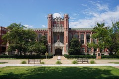 Bizzell Library, University of OklahomaNational Historic Landmark · listed 2001
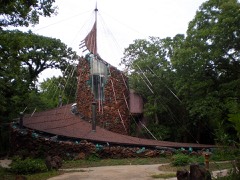 Eugene Bavinger Houselisted 2001
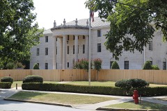 Beta Theta Pi Fraternity House, The University of Oklahomalisted 1982
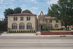 Casa Blancalisted 1990
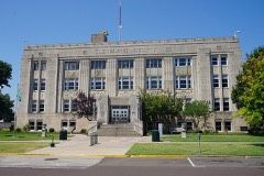 Cleveland County Courthouselisted 2000
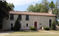 Patricio Gimeno Houselisted 1991
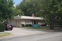 Oscar B. Jacobson Houselisted 1986
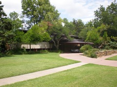 H.E. Ledbetter Houselisted 2001
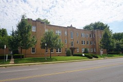 Logan Apartmentslisted 2014
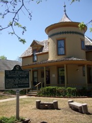 Moore-Lindsay Houselisted 1985
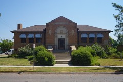 Norman Public Librarylisted 2000
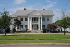 President's House, University of Oklahomalisted 1976
Every listing in Cleveland County
Surveyed buildings and structures 1 record
- University of Oklahoma, Bounded by Boyd Street on the North, Timberdell Road on the South, Chautauqua Avenue on the West, and Jenkins Avenue, Normanfederal building survey, 1 photograph
Population over time
2 figuresNorman grew from 110,925 to 128,026 between 2010 and 2020. These are the recorded population figures Wikidata holds for this place, reached through the Geographic Names Information System number this page is keyed on rather than by name, so they belong to this place and not to another of the same name. Most are census counts, but not all are: an early figure may be a founding or settlement estimate, and an estimate published within five years of a census is left out. The change column is computed, and is left blank where more than 20 years separate a figure from the one before it, because a gap that long is not a change between two counts.
| Year | People | Change |
|---|---|---|
| 2010 | 110,925 | |
| 2020 | 128,026 | +17,101 (+15%) |
Topographic sheets covering this place
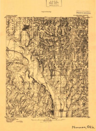
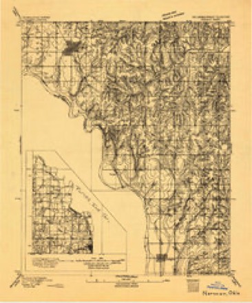
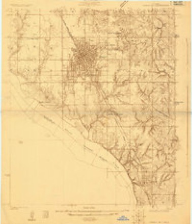
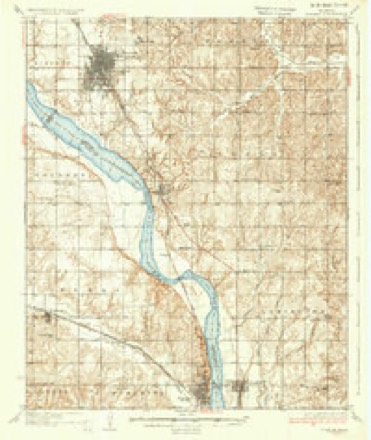
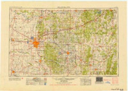
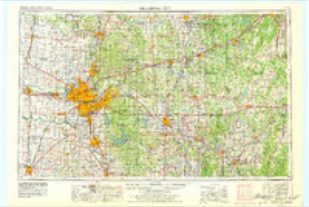
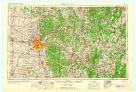
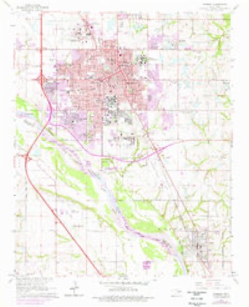
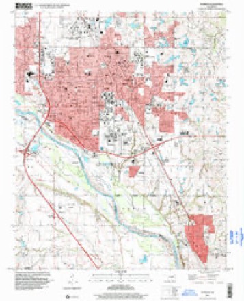
11 surveys from 20 printed sheetsMatched by testing this settlement's coordinate against the published boundary of every sheet in the United States Geological Survey's historical collection. Each opens the scanned sheet at the Survey.
- 1893 USGS Norman quadrangle1:96000
- 1893 USGS Norman quadrangle1:62500
- 1898 USGS Purcell quadrangle1:125000
- 1925 USGS Norman NO 2 quadrangle1:24000
- 1936 USGS Norman quadrangle1:62500, 5 printings
- 1954 USGS Oklahoma City quadrangle1:250000
- 1957 USGS Oklahoma City quadrangle1:250000, 3 printings
- 1963 USGS Oklahoma City quadrangle1:250000
- 1965 USGS Norman quadrangle1:24000, 3 printings
- 1985 USGS Oklahoma City South quadrangle1:100000, 2 printings
- 1995 USGS Norman quadrangle1:24000
Photographs
8 of 10 photographs shown, 2020Taken for the Office of War Information and the Farm Security Administration, who photographed the country between 1935 and 1944. Works of United States government photographers, with no known restriction on use. Each opens its catalogue record.
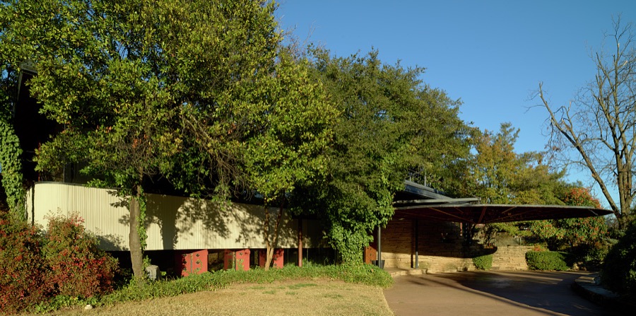
Highsmith, Carol M, 2020. Library of Congress
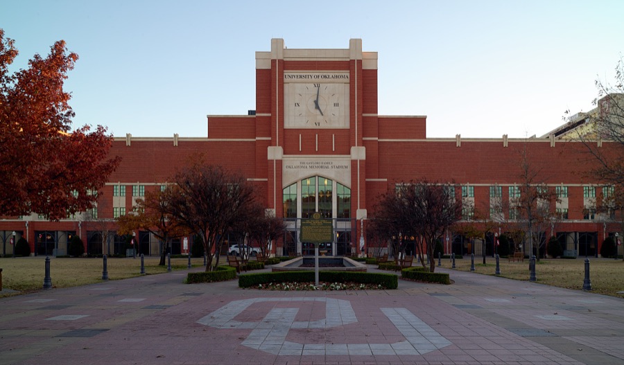
Highsmith, Carol M, 2020. Library of Congress

Highsmith, Carol M, 2020. Library of Congress
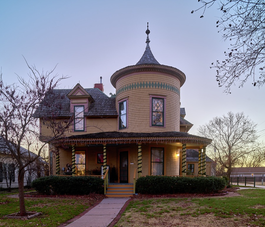
Highsmith, Carol M, 2020. Library of Congress
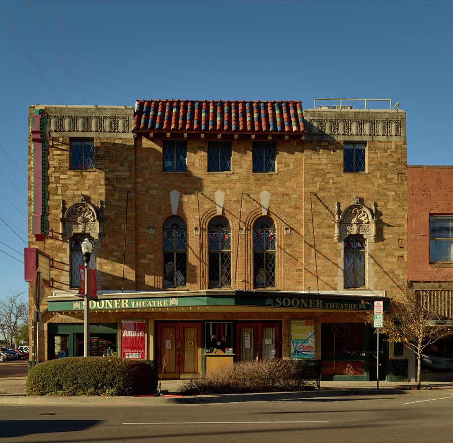
Highsmith, Carol M, 2020. Library of Congress
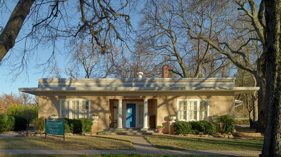
Highsmith, Carol M, 2020. Library of Congress
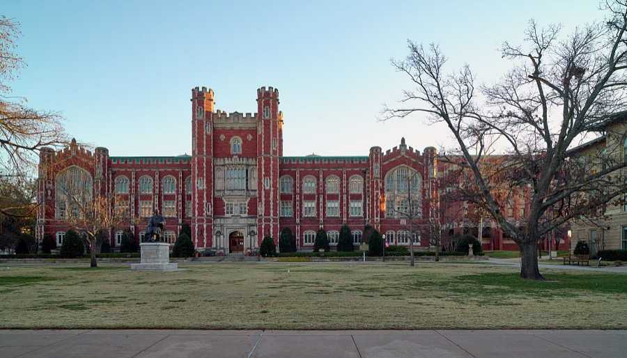
Highsmith, Carol M, 2020. Library of Congress
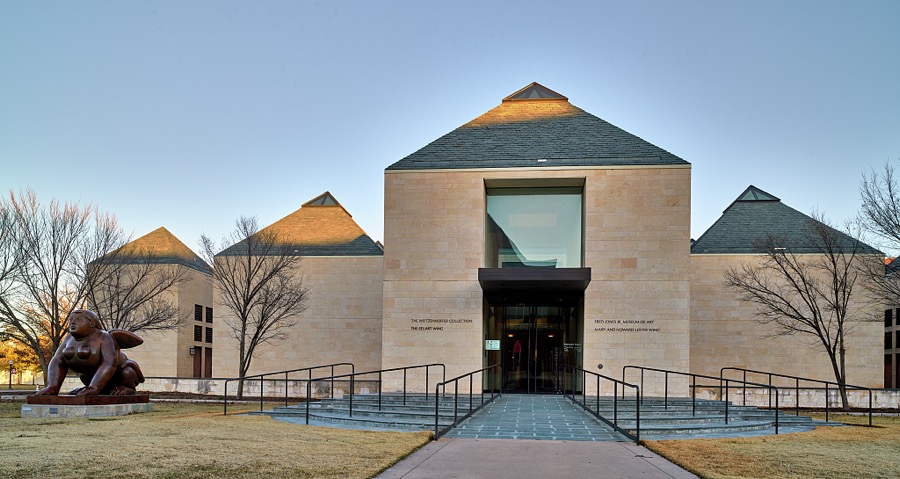
Highsmith, Carol M, 2020. Library of Congress
Every photograph of Cleveland County
Fires near this place
1 since 2006Regional context, not property-specific evidence. The federal wildfire occurrence database lists 1 fire within 5 miles of Norman in 2006, burning about 900 acres in total. None started naturally. None was recorded as arson. Distance is straight-line from the map coordinates, so a fire counted here may appear on a neighbouring settlement's page as well.
| Reported cause | Fires |
|---|---|
| Missing data/not specified/undetermined | 1 |
The most recent of them, most recent first, with the day each was reported and the service that recorded it.
| Date | Cause | Size | Reported by | Name on the report |
|---|---|---|---|---|
| 10 February 2006 | Missing data/not specified/undetermined | 900 acres | Oklahoma Division of Forestry | NOBLE FIRE |
Settlements close enough to share some of these fires:
Mines and quarries near this place
10 of 22 shownRegional context, not property-specific evidence. The federal mineral resources record lists 22 workings within 5 miles of Norman: 17 past producers, 5 producers. 5 still produce. What was taken out: Sand and Gravel, Construction. Distance is straight-line from the map coordinates, so a quarry counted here may appear on a neighbouring settlement's page as well.
| Where | Site | Commodity | Status | Recorded |
|---|---|---|---|---|
| H R Stong Sand Pit | Sand and Gravel, Construction | Producer | ||
| Joe Murphy Dirt Contractor Sand Pit | Sand and Gravel, Construction | Past Producer | ||
| Norman Asphalt Co | Sand and Gravel, Construction | Producer | ||
| Norman Asphalt Co | Sand and Gravel, Construction | Producer | ||
| Red River Construction Sand Pit | Sand and Gravel, Construction | Producer | ||
| Unknown Gravel Pit | Sand and Gravel, Construction | Past Producer | ||
| Unknown Sand Pit | Sand and Gravel, Construction | Past Producer | ||
| Unknown Sand Pit | Sand and Gravel, Construction | Past Producer | ||
| Unknown Sand Pit | Sand and Gravel, Construction | Past Producer | ||
| Unknown Sand Pit | Sand and Gravel, Construction | Past Producer |
Storms near this place
60 of 461 shownRegional context, not property-specific evidence. The National Weather Service names Norman in 461 storm reports between 1993 and 2025: 236 hail, 142 thunderstorm wind, 49 flash flood, 13 lightning. The reports record 1 death and 48 injuries. Each account below is quoted exactly as the forecast office filed it, from the NOAA Storm Events Database, and each date opens the federal record of that event.
| When | Event | Place named | Harm | What the report says |
|---|---|---|---|---|
| May 2010 | Tornado (EF4) | Norman | 1 killed, 32 hurt | This tornado is labeled #J1, and moved into Pottawatomie County near state highway 9. The tornado a few hundred yards east of the National Weather Center in Norman, Oklahoma. The damage intensity increased gradually along the path with significant damage beginning as the tornado approached Lake Thunderbird. This tornado crossed Lake Thunderbird, severely damaging two campgrounds and the marina where about 300 boats were docked. The most severe damage occurred from the Little Axe School to the Cleveland/Pottawatomie county line. Trees were stripped of some bark and branches. Large objects were thrown considerable distances, including some concrete pillars. The metal bleachers near the school were tossed or rolled several hundred yards. Some appliances were also lofted as a dryer was found about 50 feet up in a tree. Considerable structural damage also occurred, as some foundation homes were mostly destroyed. In addition to the damage, one person lost their life as a result of the tornado. |
| February 2023 | Tornado (EF2) | Norman | 12 hurt, $50,000,000 | The tornado that moved through Goldsby in McClain County crossed the Canadian River and into Cleveland County moving swiftly through southern and eastern portions of Norman. The tornado passed less than one mile southeast of the National Weather Center, and damaged numerous homes in neighborhoods near 12th Avenue SE and Cedar Lane Road, and northeast of 24th Avenue SE and Imhoff Road as well as damaging apartments and businesses near the intersection of State Highway 9 and US Highway 77. EF2 damage was noted at several apartment buildings, homes and businesses in these areas. Moving northeast, the tornado moved into less areas with less density of homes and people, but still affected neighborhoods near 36th Avenue SE and Lindsay Street, 48th Avenue SE and Lindsey, and 60th Avenue SE and Alameda Street. The tornado continued northeast damaging trees, power lines and a few homes before dissipating in far southeast Oklahoma City near SE 125th Street and Dobbs Road. The tornado moved at over 60 mph. |
| May 2007 | Flash Flood | Norman | 3 hurt, $15,000 | Several roads across the county were closed due to high water. Three water rescues were made due to water over rising near the top of the cars. Three minor injuries were reported. Monetary damages were estimated. |
| October 2001 | Lightning | Norman | 1 hurt | A man, sitting in a hot tub, received minor injuries to his bicep when lightning struck a water therapy center on NW 24th Street. |
| November 2008 | Hail | Norman | $40,000,000 | Abundant amounts of quarter to golfball size hail were reported near and around Northwest 36th street and Tecumseh Road. Severe winds also occurred, estimated at 60 mph. The combination of wind and hail caused widespread significant damage to roofs, windows, fences and vehicles. Most homes on the northwest side of Norman suffered some type of damage,especially in the area bounded by Rock Creek Road on the south, 48th Avenue NW on the west, Franklin Road on the north, and Interstate 35 on the east. Local damage assessments found thousands of residents had to get their roofs replaced, and many also suffered significant damage to windows, screens, fences, outbuildings and siding. In addition, numerous vehicles were damaged by the hail, with many assessed to be total losses. Damage estimates for roof, window, and fence replacement ranged from $15,000 to $35,000 per house in northwest Norman. Monetary losses were estimated based on these figures. |
| March 2013 | Hail | Norman | $2,000,000 | The hail was reported at Southwest 24th St. and Brooks St. Hail of this size was reported at several locations across southwest Norman, and resulted in extensive damage. Numerous vehicles were damaged and some 85 homes lost windows from blowing hail. Damages estimated based on media reports and number and type of damaged structures. |
| May 2012 | Thunderstorm Wind | Norman | $1,000,000 | Spotter reported 70 mph wind gusts with several street signs blown down. Numerous homes received light to moderate fence damage with some minor roof damage. Monetary damages are estimated. |
| July 2003 | Thunderstorm Wind | Norman | $500,000 | Sustained winds above 50 mph and wind gusts above 60 mph were measured by the Oklahoma mesonet site in Norman for almost 30 minutes. The highest measured wind gust was 79 mph. Numerous trees, power poles, and fences were downed across town. A car was damaged when a tree fell on it. Many homes sustained roof damage. Three semi tractor trailers were overturned on Interstate 35 near the Tecumseh Road exit. Briggs and Stratton and the National Guard Maintenance facility sustained roof damage. Portions of both metal roofs were damaged. Stock was damaged at Briggs and Stratton due to water that came in after roof was removed. Garage doors were also pushed in at the National Guard facility. Max Westheimer Airport also sustained some damage. A hanger roof was damaged along with several airplanes moved. At least two airplanes were overturned. The worst damage occurred in northwest portions of the city. |
| July 2003 | Hail | Norman | $500,000 | Hail combined with almost 80 mph wind gust caused hail damage in northwest portions of the city. Several windows were broken and holes put in window screens. Numerous homes sustained roof damage also. |
| June 1998 | Hail | Norman | $500,000 | Severe thunderstorm winds and hail as large as golf balls caused widespread damage in Norman, particularly in south-central and southwest parts of town. Hundreds of glass window panes at the University of Oklahoma were broken. Car windows were broken, large tree limbs were downed, and two trees were blown over onto a house. The severe winds also toppled a 140-ton crane (with damage estimated at $250,000). |
| October 2001 | Lightning | Norman | $300,000 | Lightning struck a house on Southeast 72nd Ave., starting a fire that destroyed the home. |
| October 1999 | Thunderstorm Wind | Norman | $200,000 | no account filed |
| September 2001 | Lightning | Norman | $180,000 | A house on Tarkington Drive was struck by lightning and completely burned. |
| October 2005 | Lightning | Norman | $150,000 | Lightning struck a home on Cove Hollow Drive causing a fire on the back porch which spread into the house. The fire caused heavy damage to the porch, attic, roof, and kitchen. No injuries occurred. |
| July 2006 | Lightning | Norman | $110,000 | A lightning strike caused a fire in a large, approximately 3000 square foot, home on the west side of town. Heavy fire damage was sustained to the roof and attic. Heavy smoke damage also occurred to the second floor of the home. |
| July 2006 | Lightning | Norman | $100,000 | A lightning strike on the east side of town caused a fire in a home that destroyed the roof and attic. The second floor also sustained significant damage. |
| June 2025 | Flash Flood | Norman | $50,000 | Roadway flooding occurred at the intersection of Lindsey Street and Elm Avenue. Multiple vehicles became stranded in floodwaters. The event time is approximate. |
| May 2015 | Flash Flood | Norman | $50,000 | Water rescue at Main street and Merkle drive. No injuries reported. |
| May 2015 | Flash Flood | Norman | $50,000 | Water rescue at Melrose drive and Garrison drive. |
| June 2002 | Thunderstorm Wind | Norman | $50,000 | A small area of severe winds accompanied a thunderstorm across a one mile wide area from four miles west of Norman to five miles northwest of Norman. Trees were uprooted. Fences were blown over, and minor structural damage was sustained to roofs and guttering. |
| February 1994 | Thunderstorm Wind | Norman | $50,000 | no account filed |
| May 2013 | Tornado (EF1) | Norman | $40,000 | A tornado touched down very briefly in the southwest portion of the city of Norman, damaging a home near Fairfield Drive and Belmont Drive. No other damage occurred. The damage amount was estimated. |
| May 2001 | Thunderstorm Wind | Norman | $35,000 | Major roof damage was sustained to Tinker Credit Union. Rain then damaged electrical equipment inside. |
| May 2015 | Flash Flood | Norman | $30,000 | Water rescue at intersection of Boyd street and McGee in stalled vehicle. |
| July 2000 | Lightning | Norman | $30,000 | Lightning struck a house near the 3200 block of Fireside Street, causing a fire which consumed the roof and attic. |
| November 2024 | Thunderstorm Wind | Norman | $25,000 | A large tree was uprooted, landing on the roof of an adjacent house. Event time is radar-estimated. |
| August 2024 | Flash Flood | Norman | $25,000 | Multiple social media videos showing roadway flooding near the intersection of Lindsey Street and Elm Avenue. Multiple vehicles were stranded in floodwaters. Event time is approximate. |
| October 2021 | Tornado (EF1) | Norman | $25,000 | A tornado from a QLCS (quasi-linear convective system) storm developed in northeast Norman about a half mile northwest of 24th Avenue NE and Rock Creek Road, and moved generally northeast into southwest Oklahoma City dissipating northwest of SE 164th Street and Anderson Road. The damage was most intense from a half mile south to about a half mile east of the intersection of 36th Avenue NE and Franklin Road where the tornado produced roof damage to two barns, and damaged the soffit to a carport at a home. Otherwise, the tornado produced damage primarily to trees along the path. |
| June 1997 | Thunderstorm Wind | Norman | $25,000 | Severe thunderstorm winds caused scattered damage along a path from southwest of Norman to south of Slaughterville. A survey conducted the following day (June 10th) by a National Weather Service meteorologist revealed a path extending along the South Canadian River from 2 miles southwest of Norman to 5 miles south of Slaughterville with wind speeds estimated at 60 to 70 mph. The primary damage along this track was uprooted trees and a few areas of minor tree and limb damage near the beginning of the path. As the storm progressed toward Slaughterville, damage became more significant, with structural damage both west and south of Slaughterville. Specifically, power lines were downed 2 miles south of Noble, a barn was unroofed 1 mile east of Lexington, and power poles were broken 3.5 miles east of Lexington. One mile west of Slaughterville, the roof was blown off of an old frame house and 12 mobile homes in a mobile home park were damaged, including one that was completely unroofed. About 5 miles south of Slaughterville, a tree was blown over onto a house and pickup truck. |
| August 2019 | Thunderstorm Wind | Norman | $20,000 | Multiple power lines reported around east Norman. Grass fires also reported. |
| August 2018 | Flash Flood | Norman | $20,000 | Water reported in homes at 600 block of east Eufaula in Norman. |
| July 2007 | Flood | Norman | $20,000 | Continuous rounds of heavy rainfall proved more than the Reynolds Lake earthen dam could take. A ten-inch pipe in place to help control rising lake levels was not near enough for the rapid increase in the lake level. A 25 to 30 foot diameter and 15 foot deep portion of the dam collapsed, sending water rushing out and over Rock Creek and Alameda Roads. The roads were closed for a couple of days as a result until the water levels that were once over a foot deep receded. Monetary damages were estimated. |
| August 2007 | Flash Flood | Norman | $20,000 | Numerous streets were closed due to high water. One road collapsed due to the persistent rainfall this year. One bridge sustained minor damage. The bridge to Glen Floyd's Barn was was washed out. Monetary damages were estimated. |
| August 2006 | Thunderstorm Wind | Norman | $20,000 | Numerous 6-8 inch diameter tree limbs were broken near Lions Park. A 50 foot section of fence was downed at a home in town. Several 4x4 posts were snapped. The awning was peeled away from another house nearby. |
| September 1997 | Lightning | Norman | $20,000 | Lightning struck a building in downtown and set fire to the roof. The fire was quickly contained and damage was limited to$20,000. |
| November 2024 | Thunderstorm Wind | Norman | $15,000 | Social media images show multiple locations with tree damage, including large limbs blown down, on the near west side of the University of Oklahoma Campus. Location is approximate and event time is radar-estimated. |
| August 2024 | Flash Flood | Norman | $15,000 | Social media image showing a vehicle stranded in floodwaters near the intersection of Boyd Street and Pickard Avenue. Event time is approximate. |
| June 2007 | Thunderstorm Wind | Norman | $15,000 | A large tree was blown onto a white convertible with four passengers inside. No injuries were reported. |
| July 2007 | Flash Flood | Norman | $15,000 | Several roads were closed due to flash flooding, including near the intersection of Franklin and Sooner Roads, Rock Creek and Tecumseh Roads, between 60th and 72nd Streets, and near the intersection of 132nd Street and Cedar Lane in southeast Norman. Several other roads around town were also under water. High water also impacted homes. Numerous cars were stalled in the high water. Several businesses had water in them as well. Monetary damages are estimated. ||Several roads were closed due to flash flooding, including near the intersection of Franklin and Sooner Roads, Rock Creek and Tecumseh Roads, between 60th and 72nd Streets, and near the intersection of 132nd Street and Cedar Lane in southeast Norman. |
| August 2007 | Flash Flood | Norman | $15,000 | A couple of homes were flooded on Lahoma street. Monetary damages were estimated. |
| July 2007 | Thunderstorm Wind | Norman | $12,000 | Large trees were downed and large tree limbs were broken in Norman on the University of Oklahoma Campus, especially along Jenkins Avenue near Reeves Park, the band practice field, near the law school, and at the National Weather Center. Monetary damages were estimated. |
| July 2023 | Flash Flood | Norman | $10,000 | Social media and broadcast images showing 6-12 inches of flowing water across the road at usual flood-prone intersections near the University of Oklahoma campus. |
| May 2018 | Tornado (EF1) | Norman | $10,000 | This tornado initially developed in a neighborhood just northwest of Rock Creek Road and 12th Avenue NE, then it moved east-northeast leaving a sporadic track of damage across northeast Norman until it dissipated near Franklin Road between 96th Avenue NE and 108th Avenue NE. Most of the damage along the path was to trees. The damage along the path was generally EF0 damage (winds estimated at 60-70 mph), with EF1 damage confined to an area north of Tecumseh Road between 48th Avenue NE and 60th Avenue NE where a home and an outbuilding experienced significant roof damage and damage to trees was more significant. |
| July 2008 | Thunderstorm Wind | Norman | $10,000 | Several trees were blown down at Reeves Park in Norman. Monetary damages were estimated. |
| March 1998 | Thunderstorm Wind | Norman | $10,000 | Severe thunderstorm winds damaged numerous roofs and blew several mobile homes off of their blocks. |
| May 1997 | Lightning | Norman | $10,000 | Lightning struck and set fire to a house. |
| November 1996 | Thunderstorm Wind | Norman | $10,000 | no account filed |
| June 1997 | Lightning | Norman | $9,500 | Lightning struck a house, setting the attic on fire. |
| May 2019 | Tornado (EF1) | Norman | $6,000 | A tornado with a Quasi-Linear Convective system developed near E Alameda Street between 48th Avenue NE and 60th Avenue NE. It moved north-northeast to just east of 60th Avenue NE and Rock Creek Road, then turned north and then northwest dissipating about one-half mile northwest of 60th Avenue NE and Tecumseh Road. A number of trees were damaged along the path. |
| April 2010 | Thunderstorm Wind | Norman | $6,000 | A large billboard was damaged south of Lindsay Street and just east of Interstate 35. Two business' near this location also had broken windows. Monetary damages were estimated. |
| May 1998 | Thunderstorm Wind | Norman | $6,000 | no account filed |
| June 2023 | Thunderstorm Wind | Norman | $5,000 | Social media image showing a free-standing metal wall, at a building under construction, collapsed due to thunderstorm wind. Time is radar estimated. |
| July 2020 | Thunderstorm Wind | Norman | $5,000 | Numerous power lines snapped and downed trees in south Norman near Classen and Imhoff. |
| March 2017 | Flash Flood | Norman | $5,000 | Water rescue. Vehicle stalled in water. |
| November 2008 | Thunderstorm Wind | Norman | $5,000 | A west-facing stockade fence was blown over by the wind. Monetary damages were estimated. |
| August 2007 | Thunderstorm Wind | Norman | $5,000 | Large trees were snapped in Norman by strong winds, including near Classen Boulevard and Boyd Street, and along Jenkins Avenue on the University of Oklahoma campus.| |
| August 2004 | Thunderstorm Wind | Norman | $5,000 | A large tree was downed near the intersection of Classen Boulevard (State Highway 77) and Tulsa Street. |
| July 2003 | Thunderstorm Wind | Norman | $5,000 | A fence and several tree limbs were downed at Southeast 24th Avenue and Lindsay Street. |
| October 1998 | Lightning | Norman | $5,000 | no account filed |
| June 2007 | Thunderstorm Wind | Norman | $4,000 | Several large tree limbs were downed near the intersection of Pickard and Boyd. One limb was one foot in diameter. Monetary damages were estimated. |
Nearest settlements
The eight closest, with where each one stands in the county. Distances are straight-line, computed from the Geographic Names Information System coordinates.
Elsewhere
Matched on this settlement's Geographic Names Information System number rather than its name, so it cannot be a different place of the same name in another state.
| Wikipedia article on Norman | An encyclopaedic summary. Its text is share-alike, so it is linked here rather than copied. |
| Wikidata item Q40347 | The structured record the population and elevation above come from. Public domain (CC0). |
Provenance
This settlement is recorded in the Geographic Names Information System as feature 1095903. The sheet list is computed by point-in-boundary test against the United States Geological Survey's historical topographic inventory. Both are works of the United States government and carry no copyright under 17 U.S.C. 105.
Wildfire. Short, Karen C. 2022. Spatial wildfire occurrence data for the United States, 1992-2020 [FPA_FOD_20221014]. 6th Edition. Fort Collins, CO: Forest Service Research Data Archive. https://doi.org/10.2737/RDS-2013-0009.6 Collected with United States Government funding and usable without additional permissions or fees.
Mines and quarries. USGS Mineral Resources Data System (MRDS) https://mrdata.usgs.gov/mrds/ A work of the United States government, no copyright under 17 U.S.C. 105.
Storms. NOAA National Centers for Environmental Information, Storm Events Database https://www.ncei.noaa.gov/stormevents/ A work of the United States government, no copyright under 17 U.S.C. 105. Narratives are quoted verbatim from the National Weather Service report and are not edited or summarised.