Block
From the record
28 National Register listings published here, 1 of them a National Historic Landmark.
Sources: the National Register database, National Park Service
72 topographic sheets and 30 fire insurance atlases across 4 places.
28 National Register listings published here, 1 of them a National Historic Landmark.
Sources: the National Register database, National Park Service
Taken for the Office of War Information and the Farm Security Administration, who photographed the country between 1935 and 1944. Works of United States government photographers, with no known restriction on use. Each opens its catalogue record.
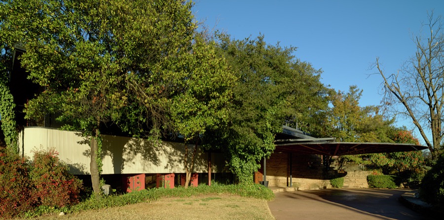
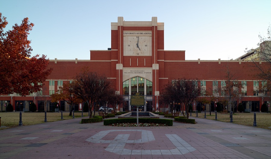

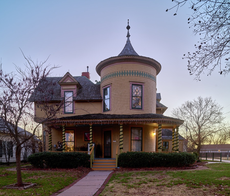

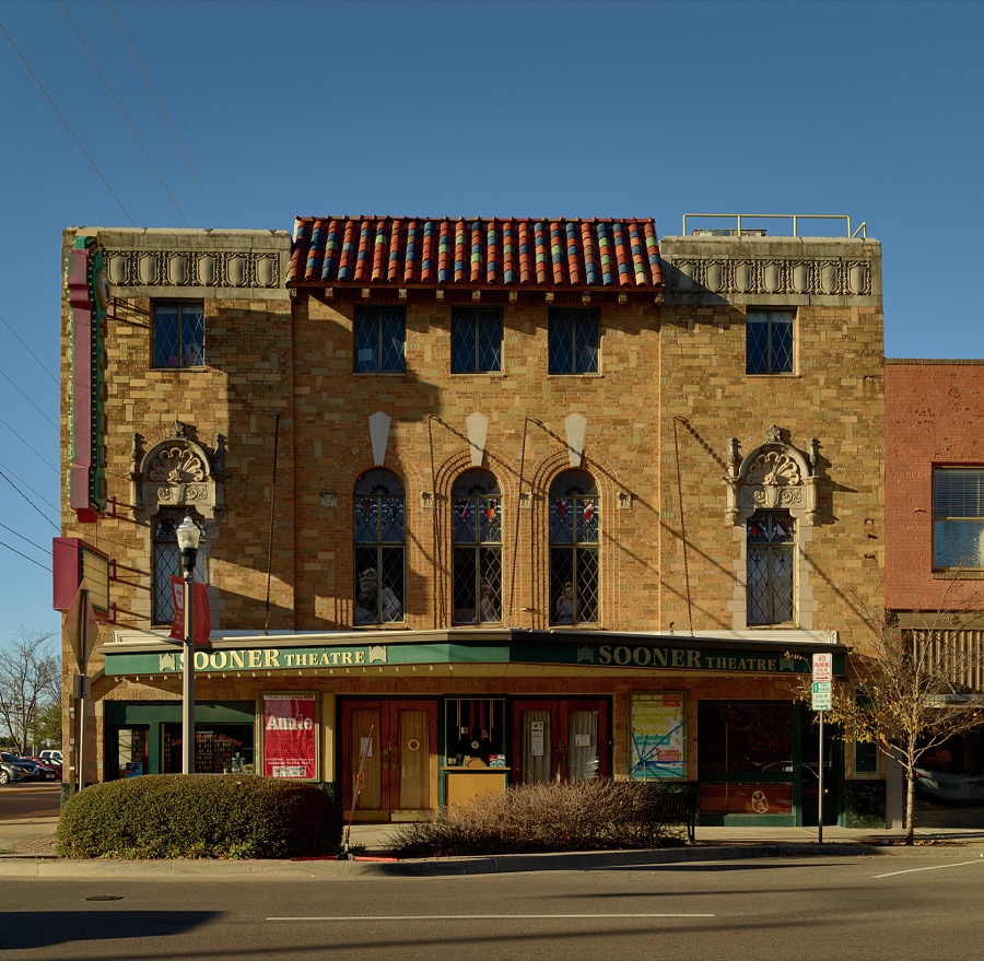
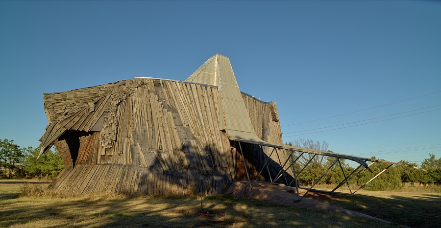
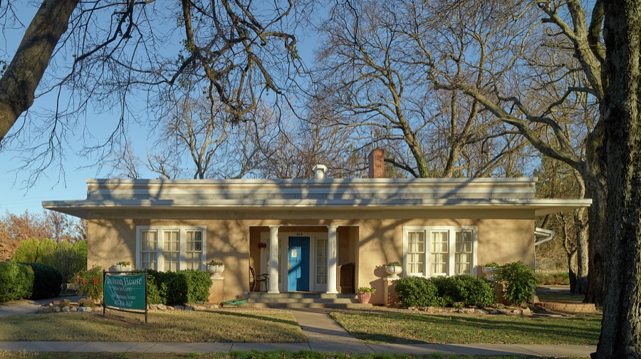
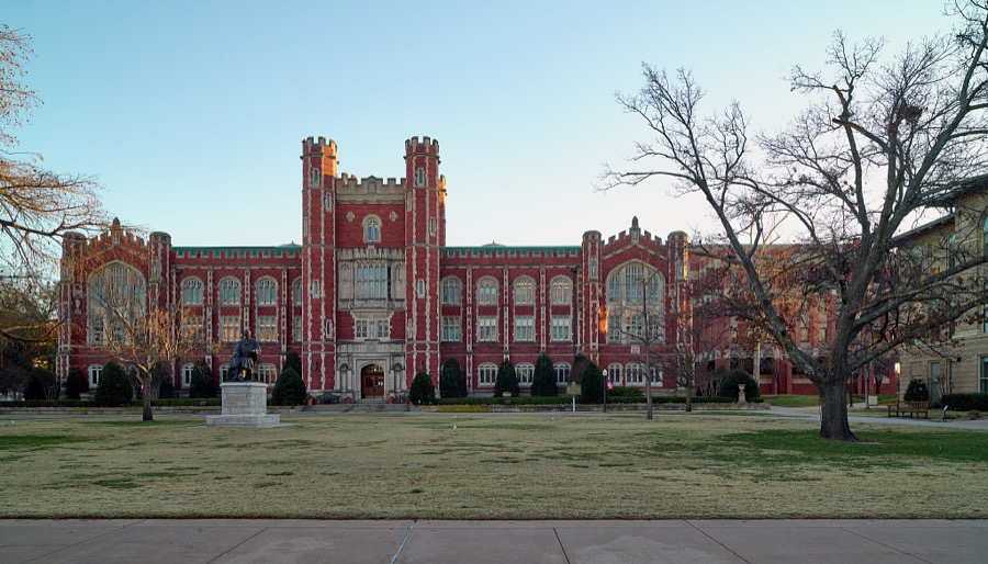
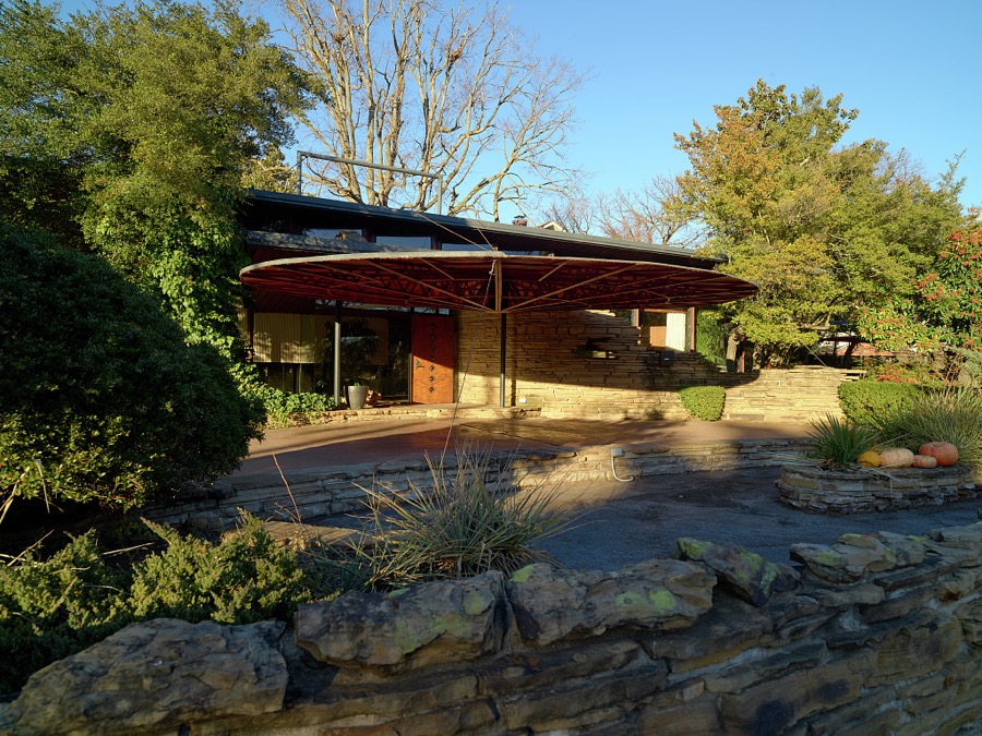

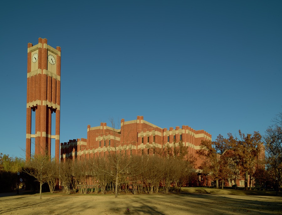
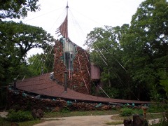
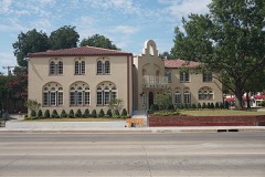
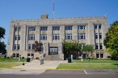
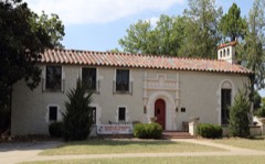
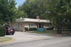
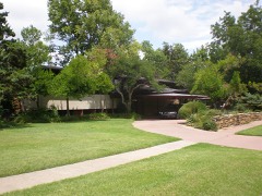
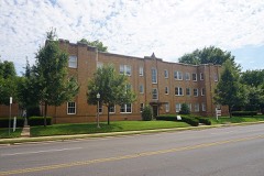
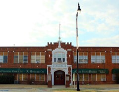
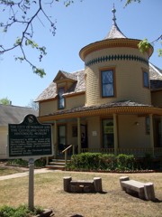
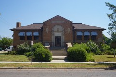
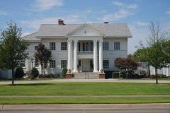
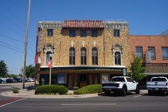
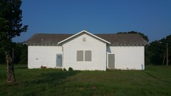
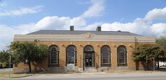
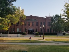
Every property in this county listed on the National Register of Historic Places, with the year it was listed and the federal nomination document.
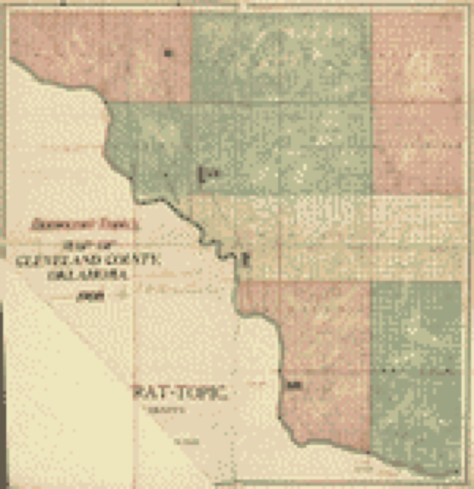
Drawn when these were printed as single large sheets: the town seen from the air, and the county divided into its farms with every owner named. Each opens the original at the Library of Congress.
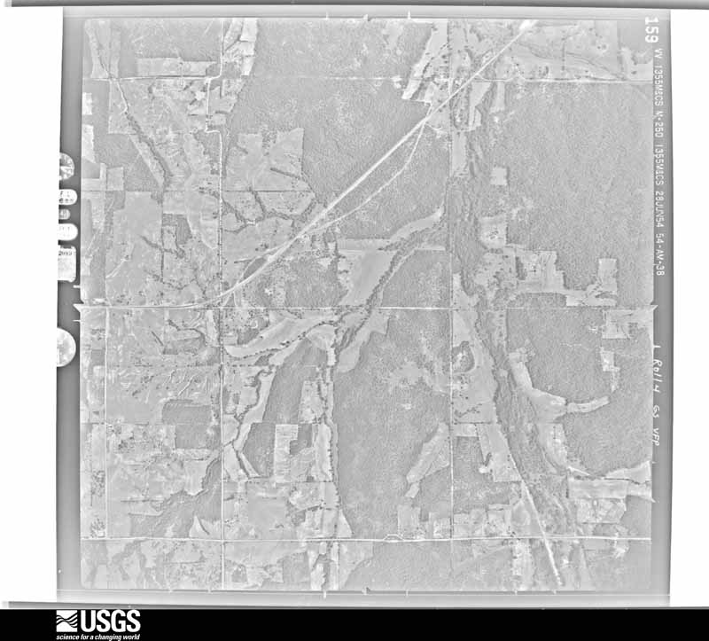
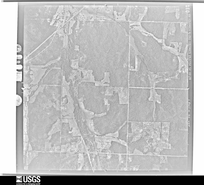
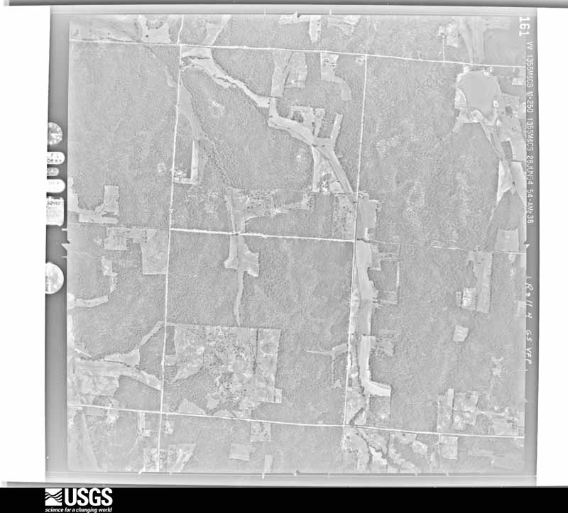
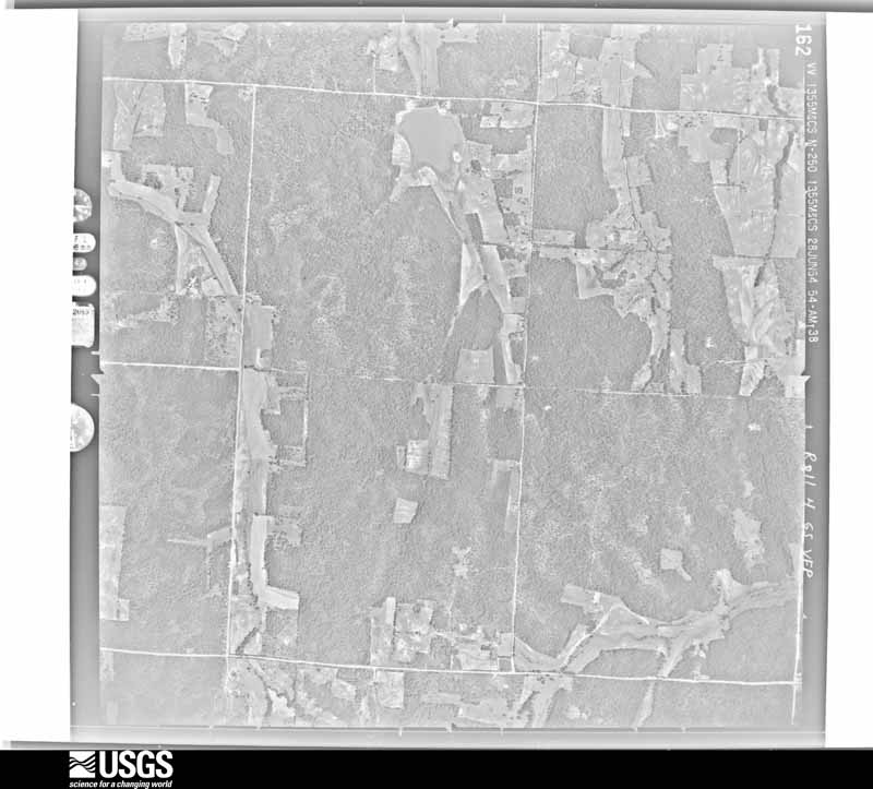
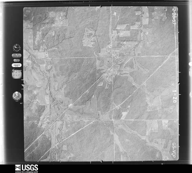
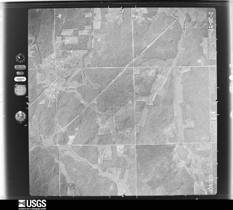
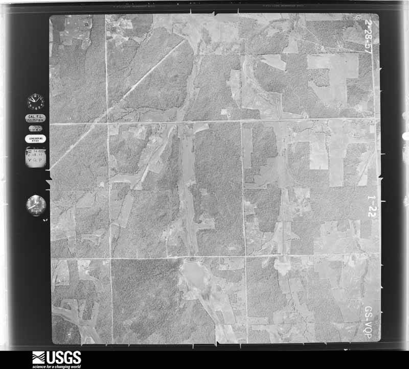
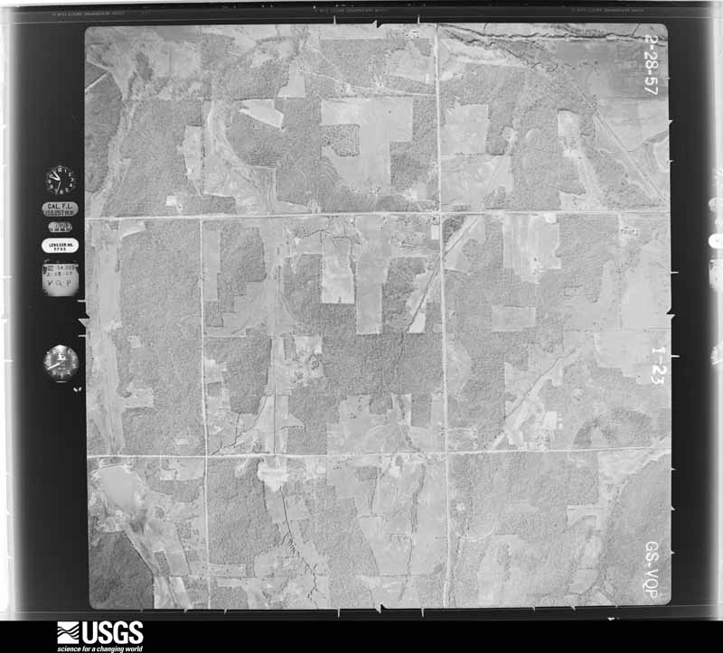
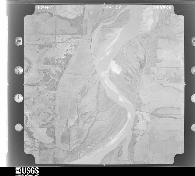
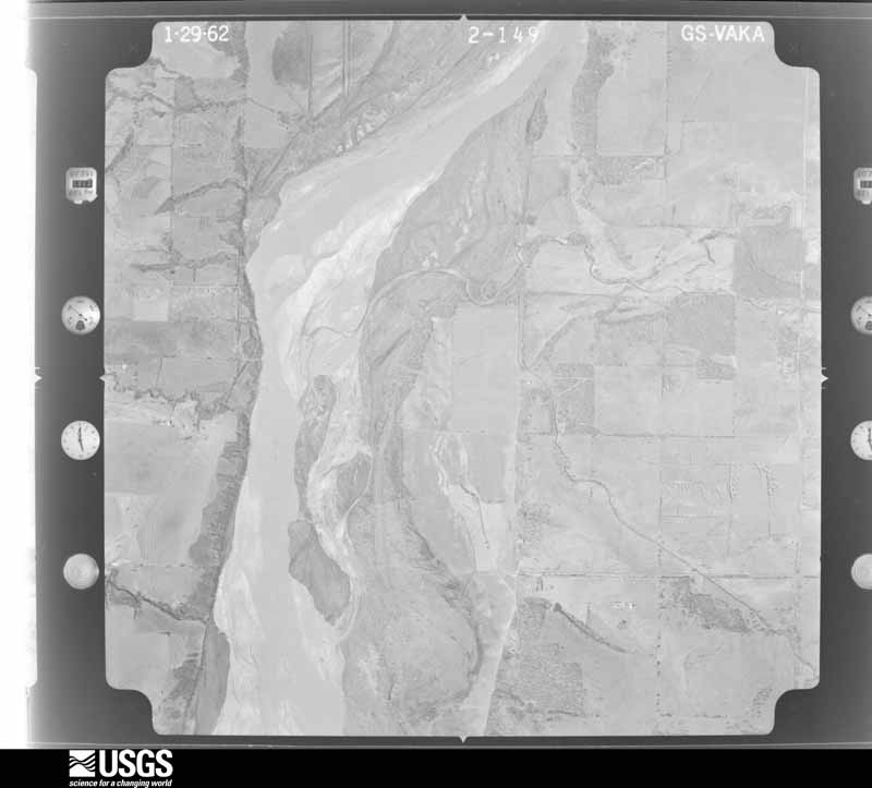
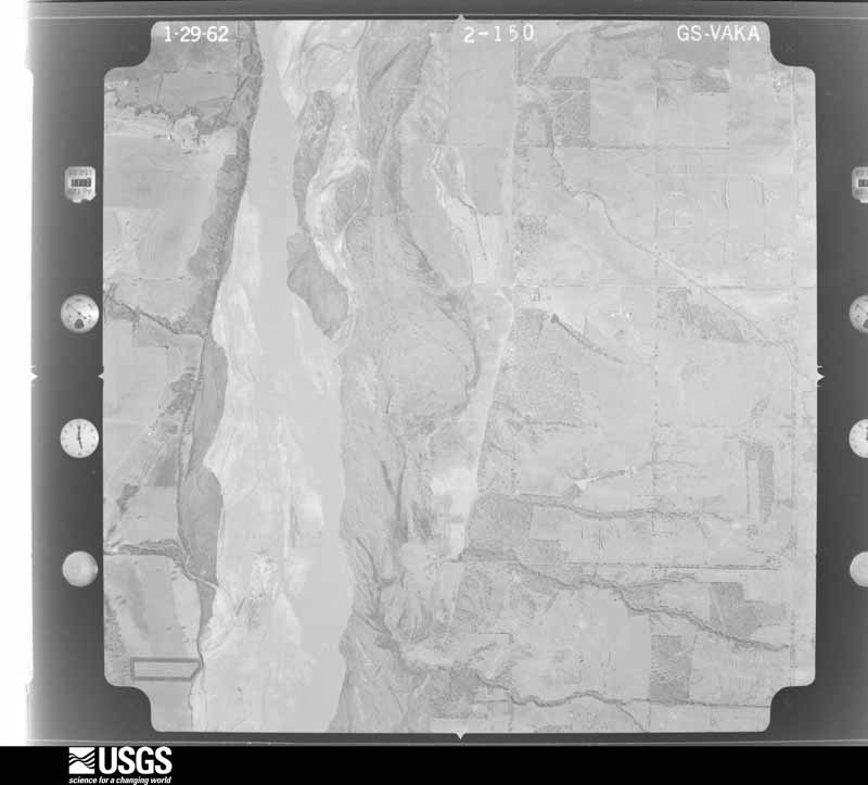
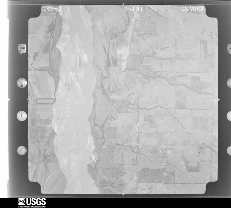
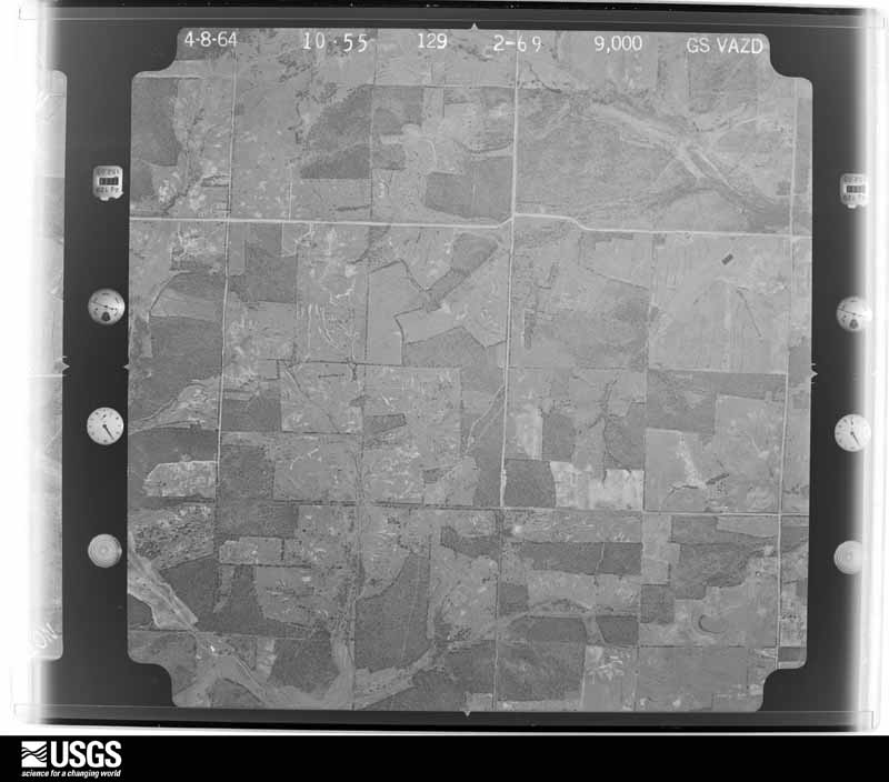
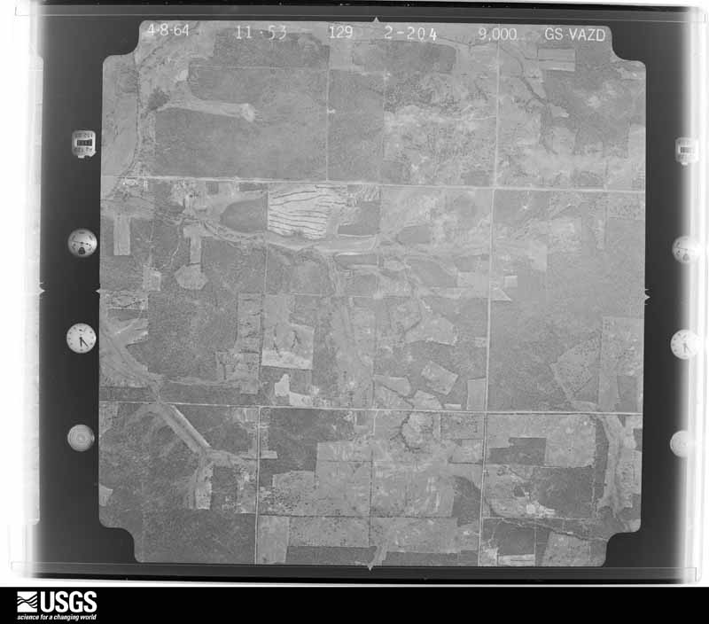
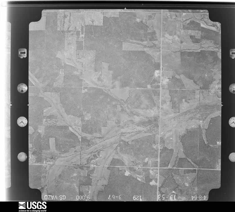
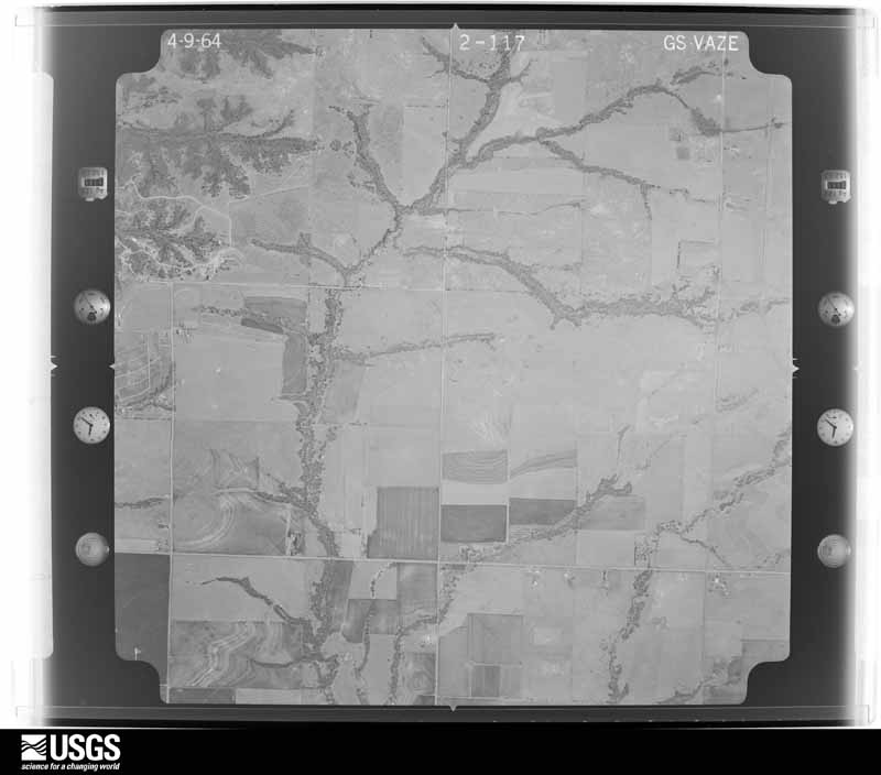
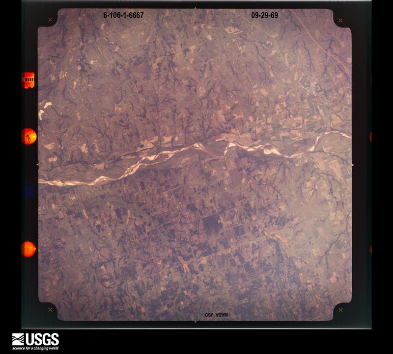
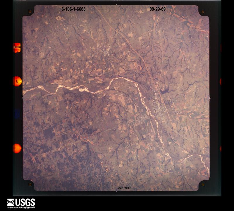
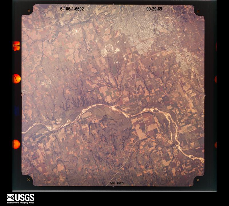
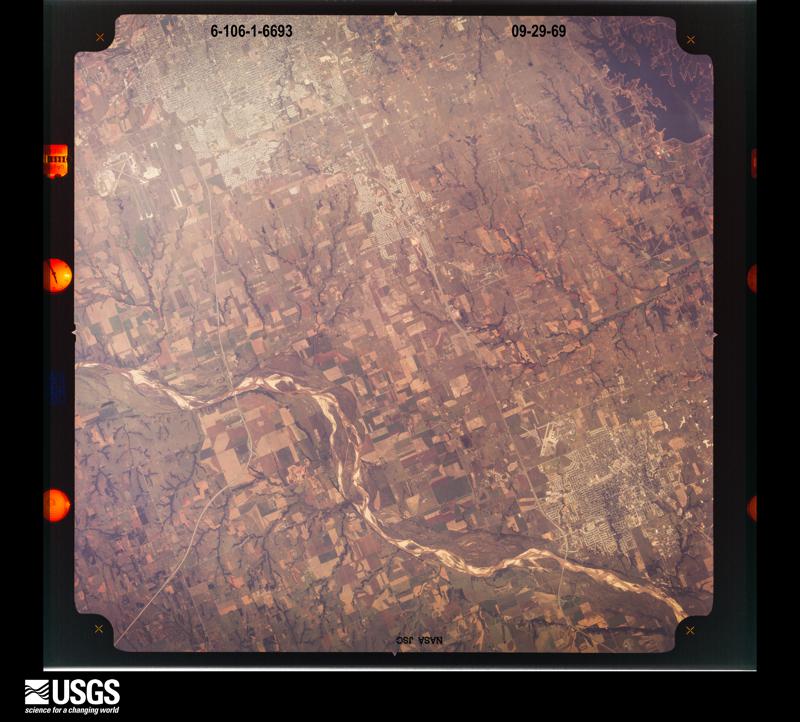
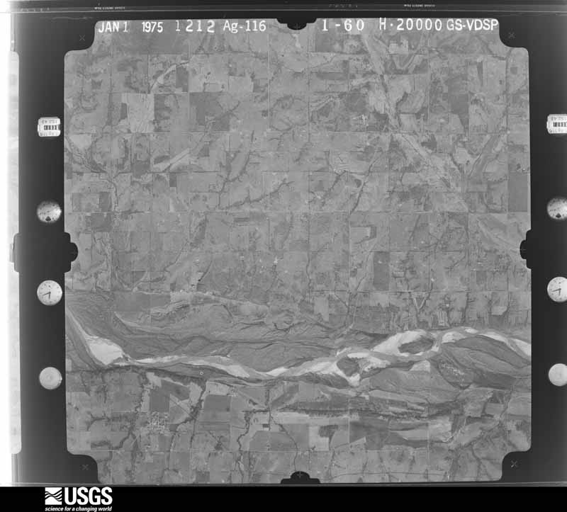
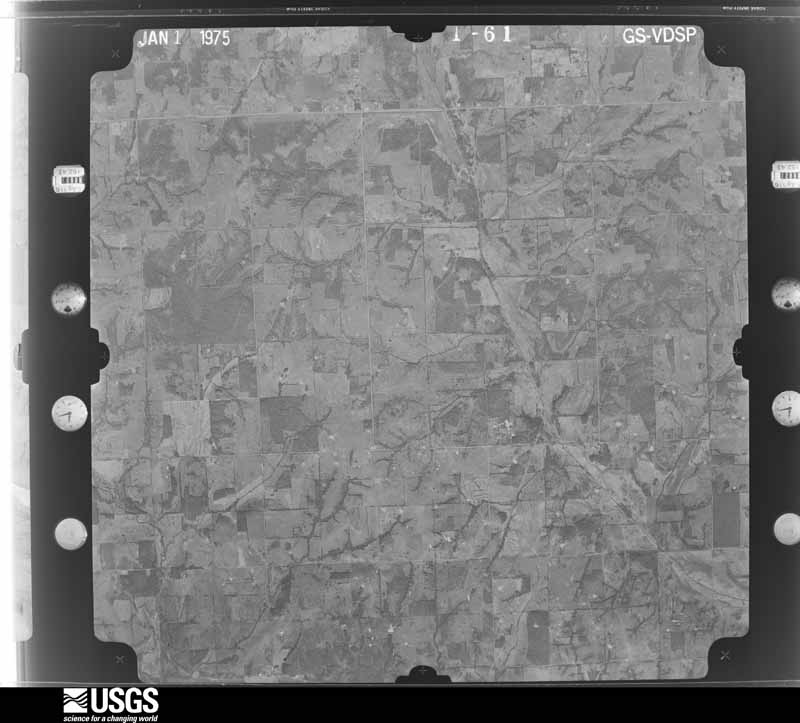
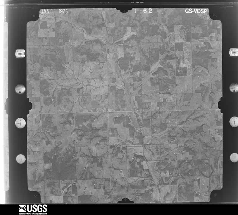
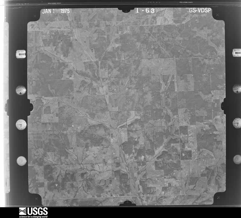
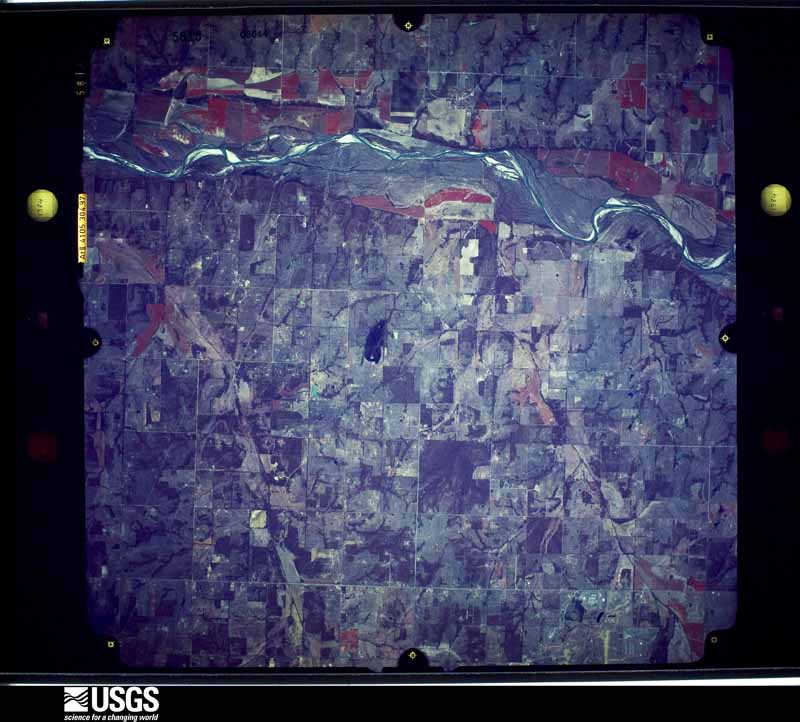
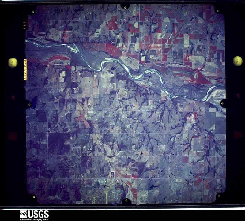
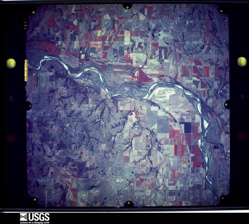
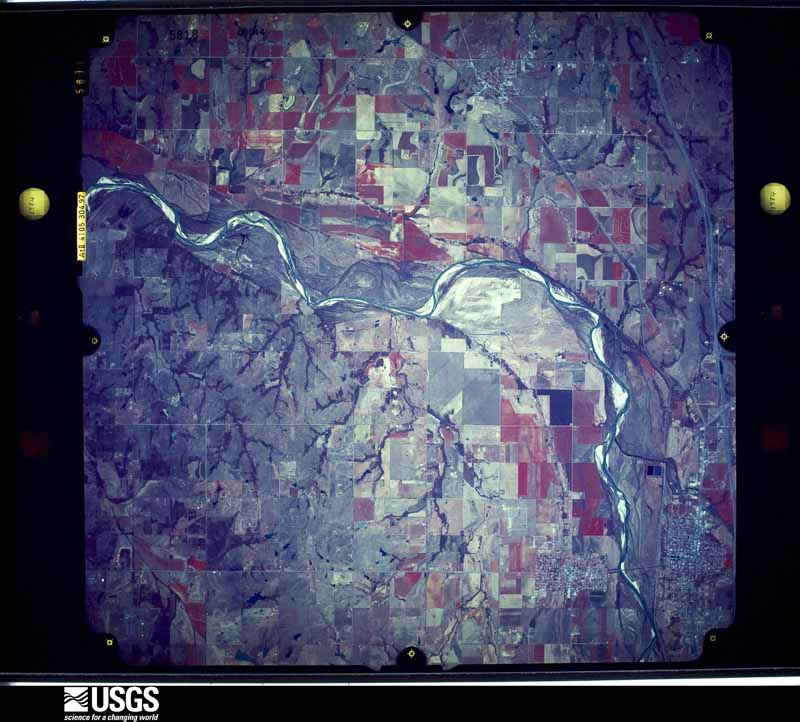
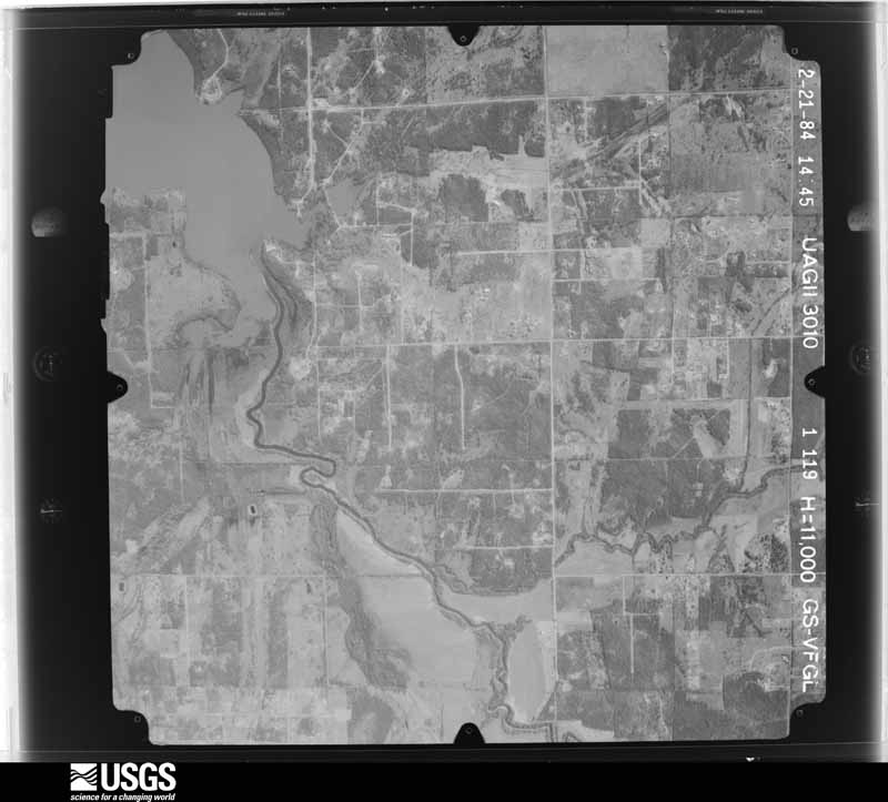
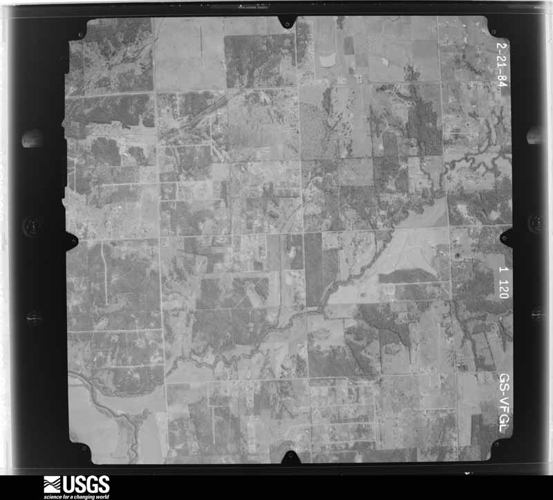
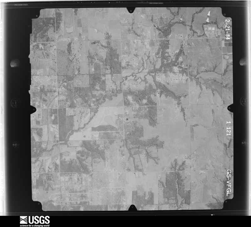
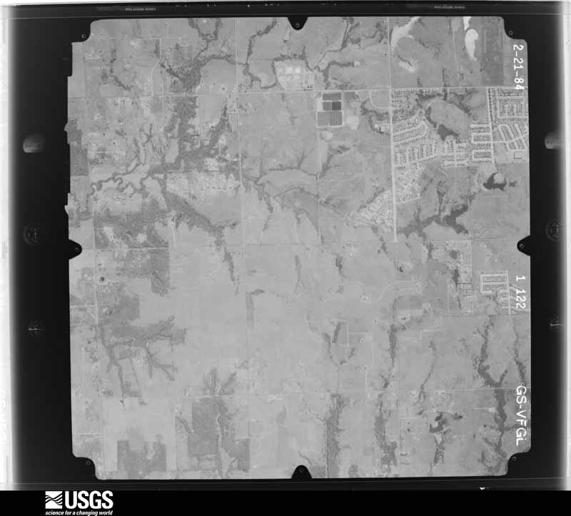
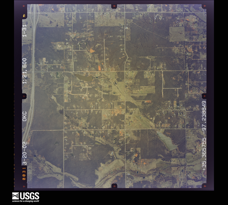
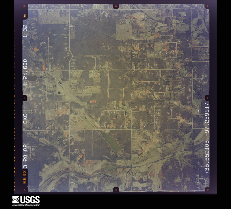
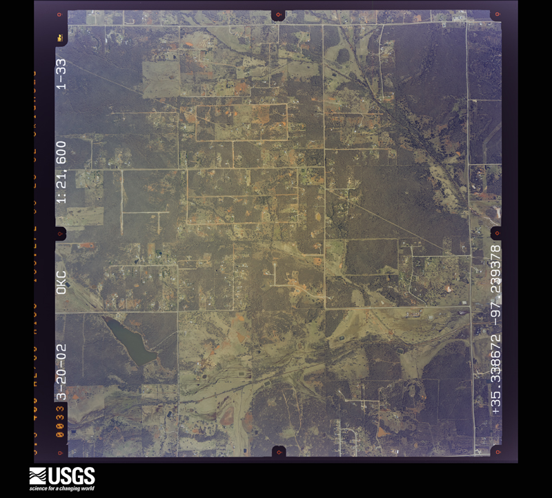
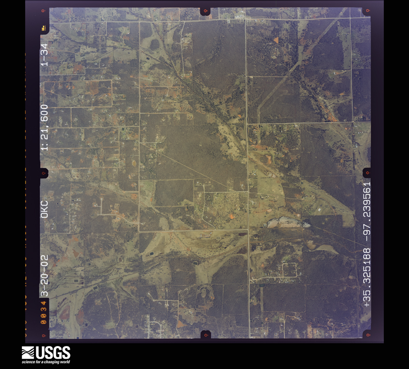
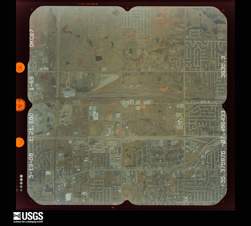
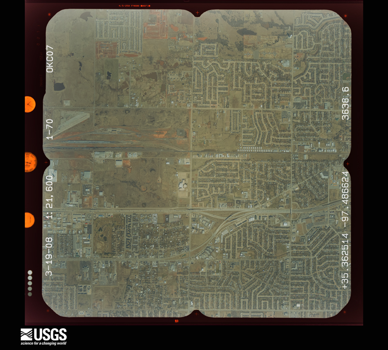
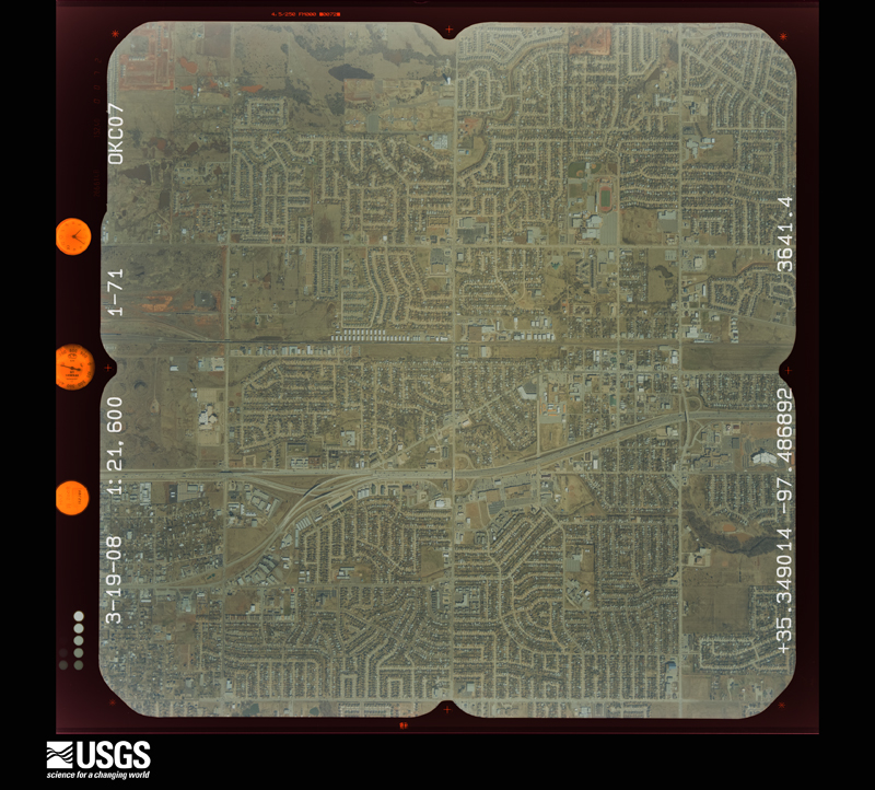
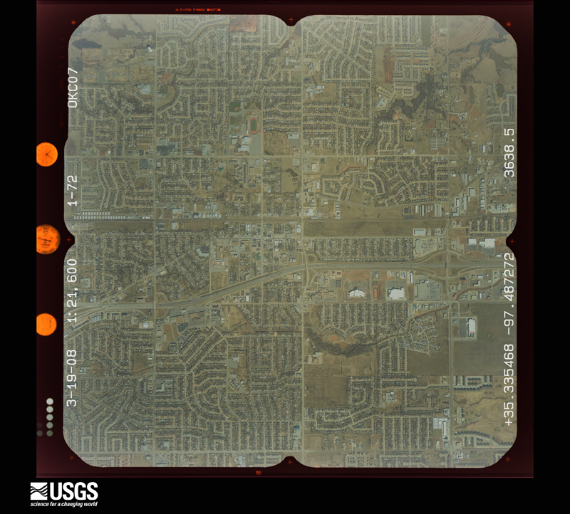
Flown by the U.S. Geological Survey between 1937 and 1989, the Aerial Photo Single Frames collection is the definitive mid-century view of the land: fields, roads and rivers as the camera saw them. The Survey holds 1,859 frames inside the rectangle that bounds this county; the 40 frames below were taken over the county itself, chosen across the decades of flights (at most four a year from that rectangle), so one flight cannot crowd out the rest. The full set is free to browse and download at EarthExplorer under the dataset Aerial Photo Single Frames.
The thermometers that kept this county's weather, and the gages that measured the flow of its streams, as the federal records hold them. The extremes below are measured values from those records, not estimates.
Who lived here in 1950, one enumeration district at a time, as the Census Bureau described each district. Each row opens its official National Archives result, with Population Schedules and ED Maps available there.
Every wildfire the federal occurrence database records inside this county: 12 of them, burning about 12,514 acres. 1 started naturally and none was recorded as arson. Each settlement page carries the fires within five miles of it.
| Reported cause | Fires |
|---|---|
| Missing data/not specified/undetermined | 9 |
| Debris and open burning | 1 |
| Natural | 1 |
| Equipment and vehicle use | 1 |
The five largest, by the area the report gives. None of them was recorded as arson.
| Date | Cause | Size | Reported by | Name on the report |
|---|---|---|---|---|
| 3 August 2012 | Missing data/not specified/undetermined | 8,954 acres | Southern Plains Regional Office | NOBLE |
| 15 March 2006 | Missing data/not specified/undetermined | 1,500 acres | Oklahoma Division of Forestry | MOORE |
| 10 February 2006 | Missing data/not specified/undetermined | 900 acres | Oklahoma Division of Forestry | NOBLE FIRE |
| 12 February 2017 | Missing data/not specified/undetermined | 897 acres | Oklahoma Division of Forestry | OKC COMPLEX |
| 3 March 2017 | Missing data/not specified/undetermined | 140 acres | Oklahoma Division of Forestry | MARY LANE |
| 4 January 2006 | Debris and open burning | 110 acres | Southern Plains Regional Office | CEDAR CTRY |
| 24 March 2006 | Natural | 5.0 acres | Chickasaw Agency | MAQUIRE |
| 2 August 2012 | Missing data/not specified/undetermined | 5.0 acres | Southern Plains Regional Office | STOMP GROUNDS |
Every settlement page carries the fires within five miles of it - see the settlement index below.
The NOAA Storm Events Database holds 1,569 reports for this county, causing 45 deaths, 665 injuries and about $2,833,631,770 in recorded property damage. Each settlement page carries the reports that name it.
| Kind of event | Reports |
|---|---|
| Hail | 849 |
| Thunderstorm Wind | 447 |
| Flash Flood | 117 |
| Tornado | 113 |
| Flood | 20 |
| Lightning | 19 |
| Funnel Cloud | 2 |
| Heavy Rain | 2 |
The most serious of them, by death, then injury, then recorded damage. The accounts are quoted exactly as the forecast office filed them.
| When | Event | Place named | Harm | What the report says |
|---|---|---|---|---|
| May 2013 | Tornado (EF5) | Moore | 24 killed, 207 hurt, $2,000,000,000 | The violent Newcastle-Moore tornado moved into Cleveland County from McClain County as it moved northeast across the Canadian River near Interstate 44. The tornado then turned more east and then east-northeast after crossing Interstate 44. Violent EF4 damage was again observed as it began to move into progressively higher density residential areas approaching May Avenue.||The center of the large tornado path passed near SW 149th Street and Western Avenue. After crossing Western Avenue, numerous buildings were destroyed and horses killed at Orr Family Farm. Two storage tanks estimated to weigh approximately 10 tons were lifted from Orr Family Farm and landed about one-half mile east. Moving east, the tornado destroyed much of Briarwood Elementary School, where the NWS storm survey team initially rated the damage as EF5. However, further evaluation indicated that an EF4 rating was more appropriate at the school. Despite the destruction of this elementary school during school hours, no fatalities occurred at the school. As the tornado continued to move east and east-northeast, it moved through much more densely populated suburban neighborhoods of southwest Oklahoma City and Moore where violent destruction was widespread and a few houses were rated EF5. The width of EF4 and greater damage was up to 250 yards wide as the tornado moved through neighborhoods east of Western Avenue. The first two fatalities occurred in a house in the neighborhood just east of Briarwood Elementary, with another fatality in a house as the tornado approached Santa Fe Avenue. ||After crossing Santa Fe Avenue, the tornado moved through more suburban neighborhoods and toward Plaza Towers Elementary School. Damage to the school was extensive and seven children were killed when a wall collapsed at the school. Nine other people were killed in eight different neighborhood homes within one-quarter mile of Plaza Towers Elementary, most occurring just south of the school.||The tornado turned northeast as it approached Telephone Road, made a loop near the intersection of Telephone Road and 4th Street, then moved southeast crossing the interstate. Three people were killed when a convenience store along Telephone Road was destroyed. Crossing Telephone Road, the tornado inflicted significant damage to the Moore Medical Center, a post office and numerous businesses along Telephone Road and Interstate 35. Although the tornado was more narrow after crossing Interstate 35, it continued to produce EF4 damage in neighborhoods east of the interstate as it curved east and then again east-northeast. One fatality occurred at a business just east of the interstate, and one final fatality occurred in a home between Eastern Avenue and Bryant Avenue. Consistent EF4 damage continued until the tornado passed SE 4th Street just east of Bryant Avenue. Moving east from Bryant, the tornado continued to produce EF2 damage with isolated EF4 damage noted. The density of housing also decreased east of Bryant as the tornado moved east and east-northeast before dissipating east of Air Depot Blvd. between SE 119th Street and SE 134th Street in southeast Oklahoma City.||Overall, over 300 homes experienced EF4/EF5 damage along the tornado path. Of the 212 direct injuries documented from this tornado, 207 are estimated to have occurred in Cleveland County. |
| May 1999 | Tornado (F5) | Moore | 11 killed, 293 hurt, $450,000,000 | Tornado A9 (Cleveland County portion). See summary at end of May 3rd storm reports. |
| November 1973 | Tornado (F3) | not stated | 3 killed, 28 hurt, $2,500,000 | no account filed |
| April 1960 | Tornado (F2) | not stated | 3 killed, 1 hurt, $25,000 | no account filed |
| April 2025 | Flash Flood | Moore | 2 killed, $100,000 | Significant roadway flooding occurred near the intersection of Southeast 12th Street and Eastern Avenue due to water rise from a nearby small creek. Two vehicles were swept off the road and pinned beneath the Eastern Avenue bridge. Two fatalities were reported as a result of this incident. Event time is approximate. |
| May 2010 | Tornado (EF4) | Norman | 1 killed, 32 hurt | This tornado is labeled #J1, and moved into Pottawatomie County near state highway 9. The tornado a few hundred yards east of the National Weather Center in Norman, Oklahoma. The damage intensity increased gradually along the path with significant damage beginning as the tornado approached Lake Thunderbird. This tornado crossed Lake Thunderbird, severely damaging two campgrounds and the marina where about 300 boats were docked. The most severe damage occurred from the Little Axe School to the Cleveland/Pottawatomie county line. Trees were stripped of some bark and branches. Large objects were thrown considerable distances, including some concrete pillars. The metal bleachers near the school were tossed or rolled several hundred yards. Some appliances were also lofted as a dryer was found about 50 feet up in a tree. Considerable structural damage also occurred, as some foundation homes were mostly destroyed. In addition to the damage, one person lost their life as a result of the tornado. |
| May 2015 | Flash Flood | Stanley Draper Lake Dam | 1 killed | One woman perished while seeking shelter from a tornado in a below ground storm cellar. Heavy rains flooded the cellar, and the woman drowned. |
| May 2003 | Tornado (F3) | Moore | 45 hurt, $210,000,000 | This is the first segment of a tornado that began in Cleveland County and moved into Oklahoma County before dissipating 2.5 miles south-southeast of Choctaw. The tornado began in the area of Northwest 5th Street and Santa Fe Avenue in Moore, near the Church of Latter Day Saints. Damage intensities increased quickly to F2 and isolated F3 as the tornado, initially narrow, moved east along 5th street. Substantial structural damage in this initial touchdown area was confined to homes on the north side of 5th Street, just east of Santa Fe. Homes on the south side of 5th, and those on 6th Street one block to the north, were relatively undamaged.The damage track then widened quickly to nearly one-fifth of a mile as the tornado turned more to the northeast through residential areas, crossing Markwell Avenue between North 2nd and North 7th Streets. The most significant damage on Markwell, rated F2, was at North 6th Street. Continuing northeast and widening to nearly a quarter of a mile, the tornado crossed Janeway Avenue between Dillon Avenue (south edge) and 12th Street (north edge). Maximum damage on Janeway was to homes near 8th Street, and was rated F2.Damage intensity increased to F3 as the tornado approached 12th Street between Janeway and Interstate 35. A commercial building on the south side of 12th suffered F3 damage, as did several homes on the north side of 12th Street at City Avenue where several homes lost most of their outside walls. Maximum damage intensity on Sunrise Avenue (north of 12th and one block east of City Ave.) was rated strong F2 and consisted mostly of homes being partially or totally unroofed. Several vehicles were tossed into front yards, and in one case nearly into the front of a home.The worst damage produced within the city of Moore was as the tornado approached west sides of Interstate 35, just north of 12th Street. Damage in this area included major damage to two hotels, the First Christian Church, the Young Child Development Center, a Project Headstart building, an office building, and several restaurants. The church, child care center, and office building were leveled. The two hotels, both two-story, had their second floors partially or totally removed by the tornado. At least a half dozen vehicles were tossed in this area, with evidence suggesting that some of them may have traveled 100 yards or more. Had the leveled buildings here shown evidence of better construction, damage might have been rated F4. As it was, damage here was rated strong F3.A southbound moving Greyhound bus was hit by the tornado as it crossed Interstate 35. The bus was carrying twenty-three passengers, some of which chose to disembark to take cover in a ditch while others chose to stay on the bus. The bus rolled several times jostling passengers around the interior. Passengers were trapped between crushed seats and buckled walls while others were left hanging upside down and out broken windows. Of those that hid in the ditch, eleven were injured by flying debris. Eight passengers that stayed on the bus were also injured. Most of the injuries to the passengers were minor.The tornado crossed Interstate 35 0.25 to 0.50 miles north of 12th Street, damaging or destroying several businesses along Broadway, just east of the interstate. Intensity dropped to F2 in this area, but the path width remained close to a quarter of a mile. The tornado continued northeast across south and east parts of the Highland Park residential area, causing F1 and spotty F2 damage. The tornado weakened to F1 intensity and turned slightly to the north-northeast as it crossed Pole Road and the Burlington Northern Santa Fe railroad tracks near and just south of Northeast 27th Street.It should be noted that the damage track of this tornado through Moore was nearly parallel to, and generally a quarter of a mile or less south of, the track of the F5 tornado that struck Moore on 3 May 1999. In fact, Highland Park also suffered extensive damage from the May 3rd tornado, but that damage was mainly in the north and west parts of the area. The damage track through Highland Park on 8 May 2003 was roughly two blocks farther south.The tornado crossed Northeast 27th between Pole Road and Eastern Avenue and continued northeast, crossing Eastern at the Lakeside Golf Course, just east of Eastern and straddling the Oklahoma City and Moore city limits. This golf course also took a direct hit from the tornado on 3 May 1999, and from this point northeastward for about one mile, the two tornado tracks overlapped. The tornado, at this point F1, continued northeast from the golf course into an open field just south of Southeast 89th Street, then struck the northwest part of a subdivision just south of 89th Street and west of Bryant Avenue. More than a dozen residences, including duplexes and single-family homes, were heavily damaged or destroyed in this area. The same northwest part of this subdivision was hit hard on 3 May 1999; many of the homes damaged or destroyed on 8 May had been rebuilt and were less than four years old.This tornado continued into Oklahoma County becoming an F4 and traveling a total of 17.3 miles. |
| May 2010 | Tornado (EF3) | (Oun)Norman Westheimer Arpt | 20 hurt | This tornado is labeled I1. This long-tracked and devastating tornado developed west of I-35, northwest of Max Westheimer airport. Widespread tree, power line/pole damage was reported from near I-35 to the east side of Stanley Draper Lake. Several homes also sustained damage, mainly with mostly roofs receiving significant damage, and some siding was ripped off. Several fences were also knocked down as the tornado moved northeast. From the east side of Lake Stanley Draper, near Hiwassee Road and SE 89th Street, to just south of Harrah, the damage path became more severe and focused. The tree damage became more severe, breaking at various heights of the tree or being uprooted. Walls of homes collapsed, and debris from the homes scattered in all directions. Several 2x4's punctured roofs and ceilings over numerous structures. A few mobile homes in this area were also completely destroyed. Where the tornado crossed I-40, a gas station and drive-in restaurant sustained up to EF3 damage. The most severe damage, one of the two EF4 tornadoes of the day, occurred in the Deerfield West Subdivision. A well-built residence here was completely destroyed, with most exterior and interior walls collapsing. The tornado finally lifted 2 miles south of Harrah. In addition to the incredible damage, one person lost their life while trying to flee the tornado. |
| February 2023 | Tornado (EF2) | Norman | 12 hurt, $50,000,000 | The tornado that moved through Goldsby in McClain County crossed the Canadian River and into Cleveland County moving swiftly through southern and eastern portions of Norman. The tornado passed less than one mile southeast of the National Weather Center, and damaged numerous homes in neighborhoods near 12th Avenue SE and Cedar Lane Road, and northeast of 24th Avenue SE and Imhoff Road as well as damaging apartments and businesses near the intersection of State Highway 9 and US Highway 77. EF2 damage was noted at several apartment buildings, homes and businesses in these areas. Moving northeast, the tornado moved into less areas with less density of homes and people, but still affected neighborhoods near 36th Avenue SE and Lindsay Street, 48th Avenue SE and Lindsey, and 60th Avenue SE and Alameda Street. The tornado continued northeast damaging trees, power lines and a few homes before dissipating in far southeast Oklahoma City near SE 125th Street and Dobbs Road. The tornado moved at over 60 mph. |
| March 2015 | Tornado (EF2) | Moore | 7 hurt, $50,000,000 | The tornado began at 634 PM near Southwest 119th street in southwest Oklahoma City, then moved east southeastward. The tornado moved through Moore, then continued to its ending location just southeast of Indian Hills road and 36th Ave northeast in far north Norman. The tornado had an eleven mile discontinuous path, with minor to moderate damage to homes and businesses. Seven people were injured, but no fatalities occurred. |
| April 1960 | Tornado (F2) | not stated | 6 hurt, $250,000 | no account filed |
| May 2013 | Tornado (EF3) | Lake Thunderbird Dam | 4 hurt | A long track tornado began in Cleveland County in east Norman to the north of Lake Thunderbird along 96th Avenue to the south of Tecumseh Road. The tornado moved northeast, crossing the eastern arm of Lake Thunderbird. A number of homes were significantly damaged as the tornado moved east-northeast through neighborhoods from near Indian Hills Road and 168th Avenue SE to the Pottawatomie County line. The tornado then moved into Pottawatomie County. |
| May 2007 | Flash Flood | Norman | 3 hurt, $15,000 | Several roads across the county were closed due to high water. Three water rescues were made due to water over rising near the top of the cars. Three minor injuries were reported. Monetary damages were estimated. |
| May 2010 | Tornado (EF2) | Slaughterville | 3 hurt | Cleveland County portion of tornado #J3. The tornado developed west of SE 120th Avenue between Maguire Road and Cemetary Road. The tornado moved through a mobile home park northeast of SE 120th Avenue and Maguire Road causing significant damage to a number of the mobile homes and injuring 2 people. The tornado continue to cause tree damage as it moved northeast, then heavily damaged the Country Boy IGA grocery store and service station on State Highway 9 to the east of Lake Thunderbird. The tornado began to move east-northeast and moved into Pottawatomie County along State Highway 9 about one minute before tornado #J1 also crossed into Pottawatomie County at about the same location. |
| March 1990 | Tornado (F2) | not stated | 1 hurt, $250,000 | no account filed |
| June 1981 | Tornado (F1) | not stated | 1 hurt, $250,000 | no account filed |
| October 1970 | Tornado (F2) | not stated | 1 hurt, $25,000 | no account filed |
| October 2001 | Lightning | Norman | 1 hurt | A man, sitting in a hot tub, received minor injuries to his bicep when lightning struck a water therapy center on NW 24th Street. |
| November 2008 | Hail | Norman | $40,000,000 | Abundant amounts of quarter to golfball size hail were reported near and around Northwest 36th street and Tecumseh Road. Severe winds also occurred, estimated at 60 mph. The combination of wind and hail caused widespread significant damage to roofs, windows, fences and vehicles. Most homes on the northwest side of Norman suffered some type of damage,especially in the area bounded by Rock Creek Road on the south, 48th Avenue NW on the west, Franklin Road on the north, and Interstate 35 on the east. Local damage assessments found thousands of residents had to get their roofs replaced, and many also suffered significant damage to windows, screens, fences, outbuildings and siding. In addition, numerous vehicles were damaged by the hail, with many assessed to be total losses. Damage estimates for roof, window, and fence replacement ranged from $15,000 to $35,000 per house in northwest Norman. Monetary losses were estimated based on these figures. |
| July 2020 | Thunderstorm Wind | Lexington | $8,000,000 | Four Chinook helicopters located outside at an Army Aviation Support Facility received damage to their rotor blades, with the blades being severely twisted and requiring replacement. |
| March 1990 | Tornado (F2) | not stated | $2,500,000 | no account filed |
| November 1973 | Tornado (F3) | not stated | $2,500,000 | no account filed |
| March 2013 | Hail | Norman | $2,000,000 | The hail was reported at Southwest 24th St. and Brooks St. Hail of this size was reported at several locations across southwest Norman, and resulted in extensive damage. Numerous vehicles were damaged and some 85 homes lost windows from blowing hail. Damages estimated based on media reports and number and type of damaged structures. |
| October 1998 | Tornado (F2) | Moore | $2,000,000 | no account filed |
| November 2024 | Tornado (EF3) | Moore | $1,000,000 | This tornado developed just northeast of SE 104th Street and Sunnylane Road in southeast Oklahoma City, and moved north-northeast. A number of homes were damaged, including at least one with most of the exterior walls collapsed and significant roof damage. The tornado moved into Oklahoma County by crossing Southeast 89th Street between Sunnylane Road and Sooner Road. |
| May 2012 | Thunderstorm Wind | Norman | $1,000,000 | Spotter reported 70 mph wind gusts with several street signs blown down. Numerous homes received light to moderate fence damage with some minor roof damage. Monetary damages are estimated. |
| April 2023 | Tornado (EF2) | Lake Thunderbird Dam | $750,000 | The eleventh tornado of the outbreak, and the fourth of four in the Etowah area, developed a minute or two after tornado #9 dissipated. This tornado developed near 180th Avenue and Post Oak Road and quickly become a very wide tornado as it moved north-northeast, and then northeast before crossing into Pottawatomie County just south of Lindsey Street. Numerous EF2 rated points were observed during the first two miles of the tornado path including significant damage to homes and destruction of mobile homes. |
| April 2023 | Tornado (EF2) | Slaughterville | $500,000 | The ninth tornado developed soon after the eighth dissipated, developing southeast of 120th Avenue and Maguire Road. The tornado moved erratically east and northeast dissipating near 180th Avenue between Etowah Road and Post Oak Road. Multiple mobile homes were destroyed and numerous homes suffered roof damage with the most intense damage along Maguire Road. Numerous trees were damaged along the path as well and two RVs were flipped over. |
| May 2003 | Tornado (F0) | Moore | $500,000 | This F0 tornado was the second one produced by a supercell that moved across central Oklahoma producing three tornadoes. The tornado was viewed by many residents west of Moore and was also caught on video by several storm chasers. This tornado began northwest of the intersection of Southwest 149th Street and Pennsylvania Avenue and ended just to the northwest of the intersection of Southwest 134th Street (or Highway 37) and Santa Fe Avenue. The first evidence of damage was found near the intersection of Jamie Drive and Libby Street in far south Oklahoma City. Damage in this area was mostly in the form of trees and large branches snapped off. Structural damage was limited mostly to fences, awnings, outdoor recreational equipment, and at least one outdoor satellite dish. Several canoes from a back-yard pond were picked up and deposited 100 feet or more from their point of origin. A pontoon boat on a trailer was also overturned.The damage track initially went due east along Jamie Drive, but turned northeast before crossing Pennsylvania (or Penn) Avenue near South 140th Street. Damage along Penn was confined mostly to trees, with little evidence of structural damage except to a large barn, which was partially unroofed. Tornadic winds were confirmed in this area through video and eye witness accounts. However, a wider zone of relatively minor damage, mostly to trees or tree branches, indicated that the tornado in this area was embedded within a larger area of straight-line winds of the type known as a rear-flank downdraft, or RFD.The damage track then turned more east again, through largely open areas before reaching Blackwelder Avenue near Southwest 140th Street. Tree damage was more extensive in this area, but structural damage remained minor. The latter was limited to slight damage to several outbuildings and one residence; much of it appeared to be the result of fallen trees/branches.The tornado then veered more to the east-northeast again as it tracked through open country between Blackwelder and Western. It crossed Western Avenue just south of 134th Street, downing several power poles and causing some minor damage to the Villa Teresa School on Western Avenue. The F0 tornado continued east-northeast and crossed 134th roughly midway between Western and Santa Fe before ending just north of 134th Street. |
| July 2003 | Thunderstorm Wind | Norman | $500,000 | Sustained winds above 50 mph and wind gusts above 60 mph were measured by the Oklahoma mesonet site in Norman for almost 30 minutes. The highest measured wind gust was 79 mph. Numerous trees, power poles, and fences were downed across town. A car was damaged when a tree fell on it. Many homes sustained roof damage. Three semi tractor trailers were overturned on Interstate 35 near the Tecumseh Road exit. Briggs and Stratton and the National Guard Maintenance facility sustained roof damage. Portions of both metal roofs were damaged. Stock was damaged at Briggs and Stratton due to water that came in after roof was removed. Garage doors were also pushed in at the National Guard facility. Max Westheimer Airport also sustained some damage. A hanger roof was damaged along with several airplanes moved. At least two airplanes were overturned. The worst damage occurred in northwest portions of the city. |
| July 2003 | Hail | Norman | $500,000 | Hail combined with almost 80 mph wind gust caused hail damage in northwest portions of the city. Several windows were broken and holes put in window screens. Numerous homes sustained roof damage also. |
| June 1998 | Hail | Norman | $500,000 | Severe thunderstorm winds and hail as large as golf balls caused widespread damage in Norman, particularly in south-central and southwest parts of town. Hundreds of glass window panes at the University of Oklahoma were broken. Car windows were broken, large tree limbs were downed, and two trees were blown over onto a house. The severe winds also toppled a 140-ton crane (with damage estimated at $250,000). |
| May 2015 | Flash Flood | Stanley Draper Lake Dam | $400,000 | Multiple water rescues ongoing from east Norman out toward Lake Thunderbird. Little Axe first responders using boats to rescue residents from homes. |
| May 2012 | Thunderstorm Wind | (Oun)Norman Westheimer Arpt | $300,000 | Wind gusts were estimated at 65 to 70 mph. |
| October 2001 | Lightning | Norman | $300,000 | Lightning struck a house on Southeast 72nd Ave., starting a fire that destroyed the home. |
| May 1991 | Tornado (F1) | not stated | $250,000 | no account filed |
| March 1990 | Tornado (F2) | not stated | $250,000 | no account filed |
| March 1988 | Tornado (F1) | not stated | $250,000 | no account filed |
| March 1977 | Tornado (F1) | not stated | $250,000 | no account filed |
| August 1974 | Tornado (F1) | not stated | $250,000 | no account filed |
| May 1960 | Tornado (F3) | not stated | $250,000 | no account filed |
| April 1960 | Tornado (F2) | not stated | $250,000 | no account filed |
| May 1960 | Tornado (F3) | not stated | $250,000 | no account filed |
| May 1960 | Tornado (F3) | not stated | $250,000 | no account filed |
| September 1957 | Tornado (F4) | not stated | $250,000 | no account filed |
| May 2023 | Tornado (EF1) | Noble | $200,000 | This tornado developed in the Canadian River valley just to the west of Noble, then move east and northeast through the north side of town before dissipating southwest of the intersection of 48th Street and Post Oak Road. The most significant damage was just north of Highway 77 and Etowah Road where homes and businesses had significant roof damage. |
| October 1999 | Thunderstorm Wind | Norman | $200,000 | no account filed |
| September 2001 | Lightning | Norman | $180,000 | A house on Tarkington Drive was struck by lightning and completely burned. |
| May 2024 | Thunderstorm Wind | Moore | $150,000 | A corridor of significant straight-line wind damage was identified across portions of far northwestern Cleveland County, immediately preceding a tornado across far southern Oklahoma County (see separate entry for details on this event). The most significant damage occurred near Southwest 93rd Street and 93rd Place. Here, at least two residences had their garage doors fail/collapse inward, leading to the loss of shingles and decking material along portions of adjoining roofs. Additional residences along the path had minor roof damage/shingle loss along with trees uprooted. Both the wind path and time are estimated. |
| July 2013 | Flash Flood | (Oun)Norman Westheimer Arpt | $150,000 | Public reports of impassable roads along W Main St. between 36th and 48th Avenues. NW 36th St. closed south of Main St. due to flooding. Stalled cars in several areas. No injuries reported. Damages estimated. |
| October 2005 | Lightning | Norman | $150,000 | Lightning struck a home on Cove Hollow Drive causing a fire on the back porch which spread into the house. The fire caused heavy damage to the porch, attic, roof, and kitchen. No injuries occurred. |
| July 2006 | Lightning | Norman | $110,000 | A lightning strike caused a fire in a large, approximately 3000 square foot, home on the west side of town. Heavy fire damage was sustained to the roof and attic. Heavy smoke damage also occurred to the second floor of the home. |
| April 2025 | Flash Flood | Lexington | $100,000 | Multiple confirmations of flooding in and around the community of Lexington due to water rise from Willow Creek and a tributary to the Canadian River. Broadcast media showed images of multiple water rescues at residences. Event time is approximate, and residual flooding may have continued beyond the end time. |
| April 2024 | Tornado (EF1) | (Oun)Norman Westheimer Arpt | $100,000 | This tornado moved across north Norman from near 24th Avenue Northwest and Robinson Street to just southwest of 12th Avenue Northeast and Tecumseh Road. A gas station canopy and trees were damaged at the beginning of the path along 24th Avenue Northwest. The tornado then moved northeast onto the University of Oklahoma Max Westheimer Airport damaging a hangar, and then continued north producing scattered tree damage. |
| May 2013 | Tornado (EF1) | Moore | $100,000 | Storm damage survey indicated a brief EF-1 tornado developed near in the South Lakes Park area near SW 119th Street and Meridian Avenue. Damage to several homes, trees, and power lines and poles occurred. Damages estimated. |
| May 2013 | Thunderstorm Wind | Moore | $100,000 | An area of wind damage occurred through Moore. The most significant damage was roughly from an area near NW 5th Street and Dillon Street to east of Main Street and Eastern Avenue. Roof damage occurred to many homes and two strip malls. Damage occurred also to many trees, a few light stands, and a scoreboard at a junior high school football field. Damage amounts are estimated. |
| May 2013 | Flash Flood | Moore | $100,000 | Numerous vehicles submerged in water along Reno Ave. Damage estimated. |
| July 2006 | Lightning | Norman | $100,000 | A lightning strike on the east side of town caused a fire in a home that destroyed the roof and attic. The second floor also sustained significant damage. |
| May 2015 | Flash Flood | (Oun)Norman Westheimer Arpt | $80,000 | Numerous streets flooded and cars stalled. |
The Survey's mineral resources record lists 67 workings inside this county. 14 still produce and 53 are closed or unrecorded. Each settlement page carries the workings within five miles of it.
| Commodity | Workings |
|---|---|
| Sand and Gravel, Construction | 65 |
| Silica | 2 |
The least common of them first, because a county's hundredth gravel pit says nothing its first ten did not.
| Where | Site | Commodity | Status | Recorded |
|---|---|---|---|---|
| May Pit | Silica | Producer | ||
| Shirley Pit | Silica | Producer | ||
| Homer Cunningham Pit | Sand and Gravel, Construction | Producer | ||
| Joe Murphy Dirt Contractor Sand Pit | Sand and Gravel, Construction | Past Producer | ||
| Meridian Pit | Sand and Gravel, Construction | Producer | ||
| Metropolitan Enterprises | Sand and Gravel, Construction | Producer | ||
| Muraska Pit | Sand and Gravel, Construction | Producer | ||
| Nelson Dredge & Plant | Sand and Gravel, Construction | Producer | ||
| Norman Asphalt Co | Sand and Gravel, Construction | Producer | ||
| Norman Pit | Sand and Gravel, Construction | Producer | ||
| Red River Construction Sand Pit | Sand and Gravel, Construction | Producer | ||
| Shirley Pit & Plant | Sand and Gravel, Construction | Producer | ||
| Unknown Gravel Pit | Sand and Gravel, Construction | Past Producer | ||
| Unknown Gravel Pit | Sand and Gravel, Construction | Past Producer | ||
| Unknown Gravel Pit | Sand and Gravel, Construction | Past Producer | ||
| Unknown Gravel Pit | Sand and Gravel, Construction | Past Producer | ||
| Unknown Gravel Pit | Sand and Gravel, Construction | Past Producer | ||
| Unknown Gravel Pit | Sand and Gravel, Construction | Past Producer | ||
| Unknown Gravel Pit | Sand and Gravel, Construction | Past Producer | ||
| Unknown Gravel Pit | Sand and Gravel, Construction | Past Producer | ||
| Unknown Gravel Pit | Sand and Gravel, Construction | Past Producer | ||
| Unknown Gravel Pit | Sand and Gravel, Construction | Past Producer | ||
| Unknown Gravel Pit | Sand and Gravel, Construction | Past Producer | ||
| Unknown Gravel Pit | Sand and Gravel, Construction | Producer | ||
| Unknown Gravel Pit | Sand and Gravel, Construction | Past Producer | ||
| Unknown Gravel Pits | Sand and Gravel, Construction | Past Producer | ||
| Unknown Sand Pit | Sand and Gravel, Construction | Past Producer | ||
| Unknown Sand Pit | Sand and Gravel, Construction | Past Producer | ||
| Unknown Sand Pit | Sand and Gravel, Construction | Past Producer | ||
| Unknown Sand Pit | Sand and Gravel, Construction | Past Producer | ||
| Unknown Sand Pit | Sand and Gravel, Construction | Past Producer | ||
| Unknown Sand Pit | Sand and Gravel, Construction | Past Producer | ||
| Unknown Sand Pit | Sand and Gravel, Construction | Past Producer | ||
| Unknown Sand Pit | Sand and Gravel, Construction | Past Producer | ||
| Unknown Sand Pit | Sand and Gravel, Construction | Past Producer | ||
| Unknown Sand Pit | Sand and Gravel, Construction | Past Producer | ||
| Unknown Sand Pit | Sand and Gravel, Construction | Past Producer | ||
| Unknown Sand Pit | Sand and Gravel, Construction | Past Producer | ||
| Unknown Sand Pit | Sand and Gravel, Construction | Past Producer | ||
| Unknown Sand Pit | Sand and Gravel, Construction | Past Producer | ||
| Unknown Sand Pit | Sand and Gravel, Construction | Past Producer | ||
| Unknown Sand Pit | Sand and Gravel, Construction | Past Producer | ||
| Unknown Sand Pit | Sand and Gravel, Construction | Past Producer | ||
| Unknown Sand Pits | Sand and Gravel, Construction | Past Producer | ||
| Unknown Sand Pits | Sand and Gravel, Construction | Past Producer | ||
| Unnamed Gravel Pit | Sand and Gravel, Construction | Past Producer | ||
| Unnamed Gravel Pit | Sand and Gravel, Construction | Past Producer | ||
| Unnamed Gravel Pit | Sand and Gravel, Construction | Past Producer | ||
| Unnamed Gravel Pit | Sand and Gravel, Construction | Producer | ||
| Unnamed Gravel Pit | Sand and Gravel, Construction | Past Producer | ||
| Unnamed Gravel Pit | Sand and Gravel, Construction | Past Producer | ||
| Unnamed Gravel Pits | Sand and Gravel, Construction | Past Producer | ||
| Unnamed Gravel Pits | Sand and Gravel, Construction | Past Producer | ||
| Unnamed Gravel Pits | Sand and Gravel, Construction | Past Producer | ||
| Unnamed Gravel Pits | Sand and Gravel, Construction | Producer | ||
| Unnamed Gravel Pits | Sand and Gravel, Construction | Past Producer | ||
| Unnamed Gravel Pits | Sand and Gravel, Construction | Past Producer | ||
| Unnamed Gravel Pits | Sand and Gravel, Construction | Past Producer | ||
| Unnamed Gravel Pits | Sand and Gravel, Construction | Past Producer | ||
| Unnamed Gravel Pits | Sand and Gravel, Construction | Past Producer | ||
| Unnamed Gravel Pits | Sand and Gravel, Construction | Past Producer | ||
| Unnamed Gravel Pits | Sand and Gravel, Construction | Past Producer | ||
| Unnamed Gravel Pits | Sand and Gravel, Construction | Past Producer | ||
| Unnamed Gravel Pits | Sand and Gravel, Construction | Past Producer | ||
| Unnamed Gravel Pits | Sand and Gravel, Construction | Past Producer | ||
| Unnamed Gravel Pits | Sand and Gravel, Construction | Past Producer | ||
| Unnamed Sand Pit | Sand and Gravel, Construction | Past Producer |
Named settlements recorded in the Geographic Names Information System, each with the topographic sheets covering it. Villages, hamlets and abandoned places alike. Each is shown with the nearest named watercourse or landform and the survey quadrangle it falls on. The 4 places that were also surveyed for fire insurance come first, with the number of atlases and photographs held for them.
Lexington census division · 73051 · On West Willow Creek · Purcell quadrangle
17 sheets, 1893 to 1985
Fire insurance: 7 atlases
North Cleveland census division · 73160 · Moore quadrangle
17 sheets, 1892 to 1995
Fire insurance: 6 atlases
Noble census division · 73068 · On Still Creek · Norman quadrangle
20 sheets, 1893 to 1995
Fire insurance: 7 atlases
Norman census division · 73069 · Norman quadrangle
20 sheets, 1893 to 1995
Fire insurance: 10 atlases
East Cleveland census division · 73026 · On Dave Blue Creek · Denver quadrangle
20 sheets, 1893 to 1985
East Cleveland census division · 73026 · On Elm Creek · Franklin quadrangle
16 sheets, 1892 to 1985
East Cleveland census division · 73026 · On Hog Creek · Little Axe quadrangle
15 sheets, 1898 to 1985
East Cleveland census division · 73051 · On Dripping Springs Creek · Purcell quadrangle
17 sheets, 1893 to 1985
Lexington census division · 73051 · On Little Buckhead Creek · Purcell quadrangle
17 sheets, 1893 to 1985
20 topographic sheets and 10 fire insurance atlases, 1894 to 1944
17 topographic sheets and 7 fire insurance atlases, 1894 to 1926
20 topographic sheets and 7 fire insurance atlases, 1898 to 1922
17 topographic sheets and 6 fire insurance atlases, 1894 to 1922
The complete index, with nothing left out. Each of these is a separate record with its own page: a federal survey report, or the case file that argued a property on to the National Register. Both are public domain and reproduced word for word.