 Block
Oneta, Oklahoma
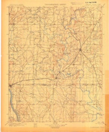
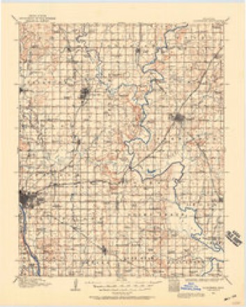
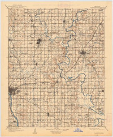
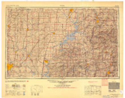
20 topographic sheets cover this place, the earliest surveyed in 1901 and the latest in 1985. It stands in the Coweta census division. It lies in ZIP code area 74014. The Survey maps it on the Oneta quadrangle.
Topographic sheets covering this place
8 surveys from 20 printed sheetsMatched by testing this settlement's coordinate against the published boundary of every sheet in the United States Geological Survey's historical collection. Each opens the scanned sheet at the Survey.
- 1901 USGS Claremore quadrangle1:125000, 4 printings
- 1914 USGS Claremore quadrangle1:125000
- 1916 USGS Claremore quadrangle1:125000, 4 printings
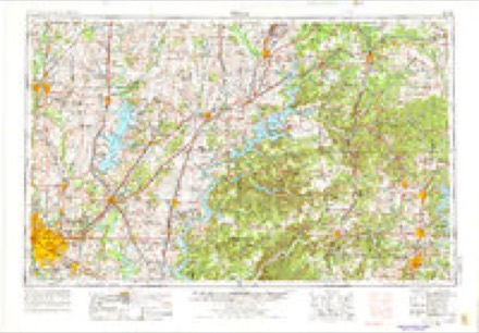
- 1954 USGS Tulsa quadrangle1:250000, 2 printings
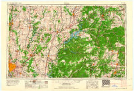
- 1958 USGS Tulsa quadrangle1:250000, 3 printings
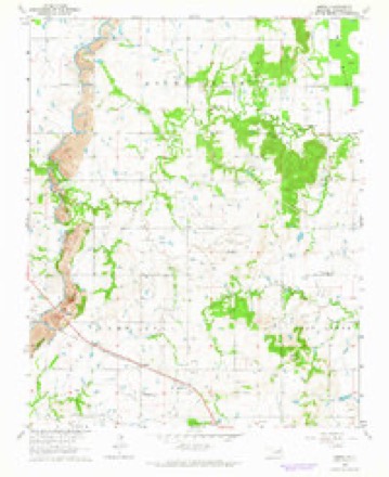
- 1963 USGS Oneta quadrangle1:24000, 3 printings
- 1963 USGS Tulsa quadrangle1:250000
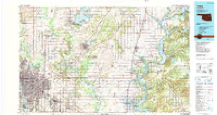
- 1985 USGS Tulsa quadrangle1:100000, 2 printings
Fires near this place
3 since 2010Regional context, not property-specific evidence. The federal wildfire occurrence database lists 3 fires within 5 miles of Oneta between 2010 and 2017, burning about 960 acres in total. None started naturally. None was recorded as arson. Distance is straight-line from the map coordinates, so a fire counted here may appear on a neighbouring settlement's page as well.
| Reported cause | Fires |
|---|---|
| Missing data/not specified/undetermined | 2 |
| Debris and open burning | 1 |
The most recent of them, most recent first, with the day each was reported and the service that recorded it.
| Date | Cause | Size | Reported by | Name on the report |
|---|---|---|---|---|
| 23 February 2017 | Missing data/not specified/undetermined | 480 acres | Oklahoma Division of Forestry | 141ST |
| 18 February 2014 | Debris and open burning | 300 acres | Oklahoma Division of Forestry | not named |
| 3 December 2010 | Missing data/not specified/undetermined | 180 acres | Oklahoma Division of Forestry | BUTTERFIELD STAGE |
Settlements close enough to share some of these fires:
Mines and quarries near this place
2 within 5 milesRegional context, not property-specific evidence. The federal mineral resources record lists 2 workings within 5 miles of Oneta: 1 past producer, 1 producer. 1 still produces. What was taken out: Sand and Gravel, Construction. Distance is straight-line from the map coordinates, so a quarry counted here may appear on a neighbouring settlement's page as well.
| Where | Site | Commodity | Status | Recorded |
|---|---|---|---|---|
| Tri Angle Pit #1 | Sand and Gravel, Construction | Producer | ||
| Unknown Sand Pit | Sand and Gravel, Construction | Past Producer |
Storms near this place
60 of 96 shownRegional context, not property-specific evidence. The National Weather Service names Oneta in 96 storm reports between 1993 and 2026: 43 thunderstorm wind, 30 hail, 17 flash flood, 5 tornado. The reports record 2 injuries. Each account below is quoted exactly as the forecast office filed it, from the NOAA Storm Events Database, and each date opens the federal record of that event.
| When | Event | Place named | Harm | What the report says |
|---|---|---|---|---|
| May 2010 | Tornado (EF2) | Oneta | 2 hurt, $400,000 | A tornado severely damaged a home, destroyed several shops and outbuildings, snapped or uprooted numerous trees, and blew down power poles. The estimated peak wind in the tornado based on this damage was 120 mph. Two people were injured by flying debris in the severely damaged home. |
| March 2026 | Tornado (EF1) | Oneta | $1,000,000 | This tornado developed over open country north of E 91st Street S and west of S 257th East Avenue. It moved northeast across a neighborhood west of S 257th East Avenue, where the roofs of numerous homes were damaged and windows were broken. The tornado damaged the roofs of more homes east of S 257th East Avenue, along E 85th Street S, E 86th Street S, and Joy Avenue. Several outbuildings were also damaged in this area, several trees were snapped or uprooted, and numerous large tree limbs were snapped. The tornado dissipated just west of S 273rd East Avenue. KINX WSR-88D radar data indicated this tornado rotated anticyclonically. Based on this damage, maximum estimated wind in the tornado was 90 to 100 mph. |
| March 2026 | Tornado (EF0) | Oneta | $40,000 | This tornado developed just south of the Muskogee Turnpike, east of S 225th East Avenue. It moved northeast across a neighborhood west of S 241st East Avenue, and then into the southern portion of Forest Ridge. The tornado uprooted a few trees, damaged the roofs of several homes, snapped large tree limbs, and blew down large sections of privacy fences. Based on this damage, maximum estimated wind in the tornado was 80 to 85 mph. |
| June 2023 | Thunderstorm Wind | Oneta | $40,000 | Strong wind blew down a tree onto a house. |
| December 2019 | Tornado (EF0) | Oneta | $40,000 | This is the second segment of a two-segment tornado. This tornado crossed into Wagoner County where a portion of the roof of a home was uplifted, and many shingles were removed from the roof of another nearby home. Large tree limbs were snapped from the county line, across neighborhoods, on the south side of the Jack Graves Scout Reservation, to where it dissipated north of the NSU Broken Arrow campus. Based on this damage, maximum estimated wind in this segment of the tornado was 80 to 85 mph. |
| September 2010 | Flash Flood | Oneta | $35,000 | Several county roads were damaged by flooding. |
| June 2023 | Thunderstorm Wind | Oneta | $30,000 | Strong thunderstorm wind caused extensive damage to trees and power lines, and damaged the roofs of several homes. |
| June 2023 | Thunderstorm Wind | Oneta | $25,000 | Strong thunderstorm wind caused extensive tree and power line damage. |
| April 2008 | Hail | Oneta | $25,000 | Large hail damaged automobiles and homes. |
| October 2019 | Thunderstorm Wind | Oneta | $20,000 | Strong thunderstorm wind uprooted trees and damaged the roofs of homes near The Woods Golf Club. |
| June 2023 | Thunderstorm Wind | Oneta | $15,000 | Strong thunderstorm wind blew down a tree onto a car. |
| July 2015 | Thunderstorm Wind | Oneta | $15,000 | Strong thunderstorm wind blew down several trees, blew down power lines, and damaged the roofs of several homes. |
| April 2011 | Hail | Oneta | $15,000 | no account filed |
| June 2023 | Thunderstorm Wind | Oneta | $10,000 | Strong thunderstorm wind blew down power lines. |
| June 2023 | Thunderstorm Wind | Oneta | $10,000 | Strong thunderstorm wind blew down trees onto power lines near S 241st E Avenue and E 55th Street. |
| July 2022 | Thunderstorm Wind | Oneta | $5,000 | Strong thunderstorm wind blew down trees and snapped power poles along S 273rd E Avenue, between E 51st Street S and E 71st Street S. |
| July 2021 | Flash Flood | Oneta | $5,000 | Portions of S 209th E Avenue were flooded with up to five feet of water. A vehicle was driven into the flood water, and the driver had to be rescued. |
| July 2015 | Thunderstorm Wind | Oneta | $5,000 | Strong thunderstorm wind damaged the roofs of several homes, blew down several trees, and snapped numerous tree limbs. |
| July 2015 | Thunderstorm Wind | Oneta | $5,000 | Several power poles were blown down by strong thunderstorm wind. |
| October 2014 | Thunderstorm Wind | Oneta | $5,000 | Strong thunderstorm wind blew down large tree limbs and damaged the roof of a home. |
| August 2012 | Thunderstorm Wind | Oneta | $5,000 | Strong thunderstorm wind blew down several trees and a fence near E 101st Street South and the Creek Turnpike. |
| August 2011 | Thunderstorm Wind | Oneta | $5,000 | An off-duty NWS employee estimated wind gusts to near 70 mph. Power lines and poles were blown down in the area. |
| August 2011 | Thunderstorm Wind | Oneta | $4,000 | Strong thunderstorm wind removed the shingles from the north side of the roof of a home near 81st Street South and 305th East Avenue. |
| July 2021 | Thunderstorm Wind | Oneta | $3,000 | Strong thunderstorm wind snapped several power poles along Highway 51 near S 239th East Avenue. |
| July 2015 | Thunderstorm Wind | Oneta | $3,000 | Strong thunderstorm wind snapped numerous large tree limbs and blew down a privacy fence near the intersection of Rosewood Drive and Spring Lake Road. |
| July 2017 | Thunderstorm Wind | Oneta | $1,000 | Strong thunderstorm wind gusts snapped large tree limbs, and blew shingles off the roof of a home. |
| May 1999 | Thunderstorm Wind | Oneta | $100 | Large tree branches were blown down. |
| May 2025 | Flash Flood | Oneta | - | Portions of Oneta Road were flooded between 61st Street and 71st Street. |
| May 2025 | Flash Flood | Oneta | - | Portions of 61st Street were flooded near Midway Avenue. |
| May 2025 | Flash Flood | Oneta | - | Numerous roads were flooded and closed across Wagoner County. |
| June 2023 | Thunderstorm Wind | Oneta | - | Strong thunderstorm wind blew down multiple trees near E 41st Street S and S 273rd E Avenue. |
| June 2023 | Thunderstorm Wind | Oneta | - | Strong thunderstorm wind blew down multiple large trees near E 51st Street and S 256th E Avenue. |
| June 2023 | Thunderstorm Wind | Oneta | - | Strong wind blew down a tree near E 64th Street and S 289th E Avenue. |
| June 2023 | Thunderstorm Wind | Oneta | - | Strong thunderstorm wind snapped multiple trees in a neighborhood. |
| June 2023 | Thunderstorm Wind | Oneta | - | Strong thunderstorm wind blew down a tree into the road. |
| June 2023 | Thunderstorm Wind | Oneta | - | Strong thunderstorm wind blew down a tree onto E Kenosha Street near S 257th E Avenue. |
| July 2023 | Thunderstorm Wind | Oneta | - | Strong thunderstorm wind blew down trees at E 21st Street and S 273rd East Avenue. |
| July 2022 | Hail | Oneta | - | An NWS employee measured hailstones up to 1 1/8 inches in diameter. |
| May 2020 | Flash Flood | Oneta | - | Portions of E 81st Street S were flooded. |
| May 2020 | Flash Flood | Oneta | - | Portions of Oneta Road were flooded near E 55th Street S. |
| May 2019 | Thunderstorm Wind | Oneta | - | Strong thunderstorm wind snapped large tree limbs. |
| May 2019 | Flash Flood | Oneta | - | Portions of E Kenosha Street were flooded east of Evans Road. |
| May 2019 | Thunderstorm Wind | Oneta | - | Strong thunderstorm wind snapped large tree limbs. |
| March 2018 | Thunderstorm Wind | Oneta | - | Strong thunderstorm wind snapped large tree limbs. |
| July 2018 | Thunderstorm Wind | Oneta | - | Strong thunderstorm wind blew down numerous large tree limbs. |
| August 2017 | Thunderstorm Wind | Oneta | - | Strong thunderstorm wind snapped trees near E 61st Street S and S 286th E Avenue, near Oak Grove. |
| April 2016 | Tornado (EF0) | Oneta | - | This is the second segment of a two segment tornado. In Wagoner County, this tornado snapped large tree limbs. Based on this damage, maximum estimated wind in this segment of the tornado was 70 to 80 mph. |
| May 2016 | Flash Flood | Oneta | - | Portions of several roads were flooded between E 41st Street S and E 71st Street S. |
| May 2016 | Flash Flood | Oneta | - | Portions of several roads were flooded between E 31st Street S and E 61st Street S. |
| November 2015 | Flash Flood | Oneta | - | Portions of 305th East Avenue were flooded and closed between E 41st Street South and E 61st Street South. Several vehicles were stranded in the high water. |
| July 2015 | Thunderstorm Wind | Oneta | - | Strong thunderstorm wind blew down trees. |
| May 2015 | Flash Flood | Oneta | - | Roads were flooded east of Highway 51 between E 111th Street and E 121st Street. |
| July 2015 | Thunderstorm Wind | Oneta | - | Large tree limbs were blown down by strong thunderstorm wind. |
| July 2015 | Thunderstorm Wind | Oneta | - | Trees were blown down by strong thunderstorm wind near the Armed Forces Reserve Center and the Muskogee Turnpike. |
| May 2015 | Flood | Oneta | - | Adams Creek flooded the roadway at E 46th Street South and S 257th E Avenue. |
| May 2015 | Flash Flood | Oneta | - | Portions of Kenosha Street were flooded and impassable. |
| May 2015 | Flash Flood | Oneta | - | A low water crossing was severely flooded and impassable on S 273rd E Ave between E 81st Street and E 91st Street. |
| July 2015 | Thunderstorm Wind | Oneta | - | A large tree was blown down near the intersection of Oneta Road and E 96th Street. |
| April 2014 | Thunderstorm Wind | Oneta | - | Thunderstorm wind gusted to around 70 mph. |
| October 2014 | Thunderstorm Wind | Oneta | - | Strong thunderstorm wind blew down several trees and numerous large tree limbs. |
Nearest settlements
The eight closest, with where each one stands in the county. Distances are straight-line, computed from the Geographic Names Information System coordinates.
| Map | Place | Distance | Sheets |
|---|---|---|---|
| New Tulsa | 4.3 miles | 20 | |
| Coweta | 5.5 miles | 16 | |
| Fair Oaks | 8.9 miles | 21 | |
| Stonebluff | 9.3 miles | 16 | |
| Red Bird | 11.2 miles | 17 | |
| Stones Corner | 11.5 miles | 14 | |
| Porter | 14.2 miles | 14 | |
| Neodesha | 14.6 miles | 16 |
Provenance
This settlement is recorded in the Geographic Names Information System as feature 1100699. The sheet list is computed by point-in-boundary test against the United States Geological Survey's historical topographic inventory. Both are works of the United States government and carry no copyright under 17 U.S.C. 105.
Wildfire. Short, Karen C. 2022. Spatial wildfire occurrence data for the United States, 1992-2020 [FPA_FOD_20221014]. 6th Edition. Fort Collins, CO: Forest Service Research Data Archive. https://doi.org/10.2737/RDS-2013-0009.6 Collected with United States Government funding and usable without additional permissions or fees.
Mines and quarries. USGS Mineral Resources Data System (MRDS) https://mrdata.usgs.gov/mrds/ A work of the United States government, no copyright under 17 U.S.C. 105.
Storms. NOAA National Centers for Environmental Information, Storm Events Database https://www.ncei.noaa.gov/stormevents/ A work of the United States government, no copyright under 17 U.S.C. 105. Narratives are quoted verbatim from the National Weather Service report and are not edited or summarised.