 Block
From the record
19 National Register listings published here.
Sources: the county history on the Internet Archive · the National Register database, National Park Service
71 topographic sheets and 17 fire insurance atlases across 3 places.
19 National Register listings published here.
Sources: the county history on the Internet Archive · the National Register database, National Park Service
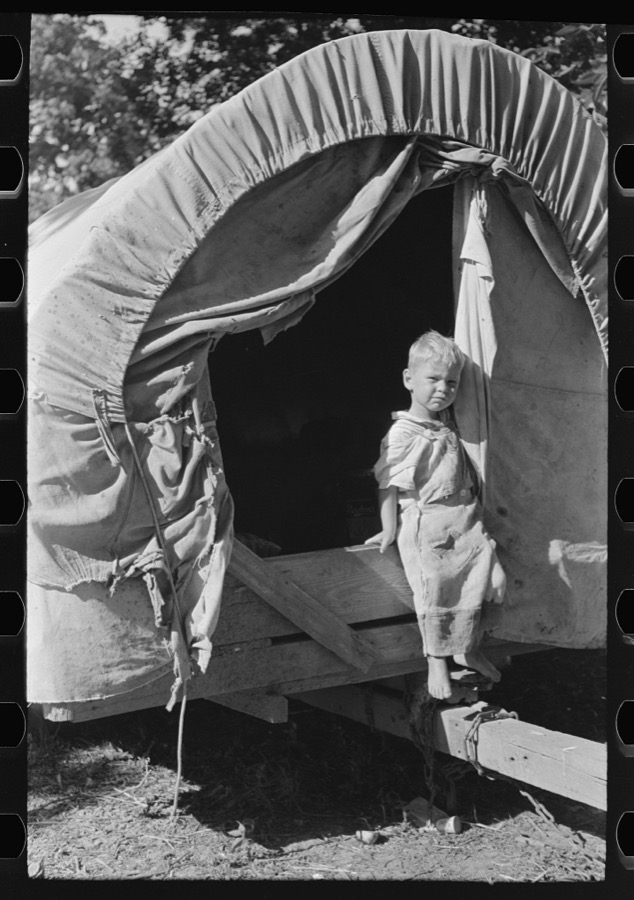
Taken for the Office of War Information and the Farm Security Administration, who photographed the country between 1935 and 1944. Works of United States government photographers, with no known restriction on use. Each opens its catalogue record.
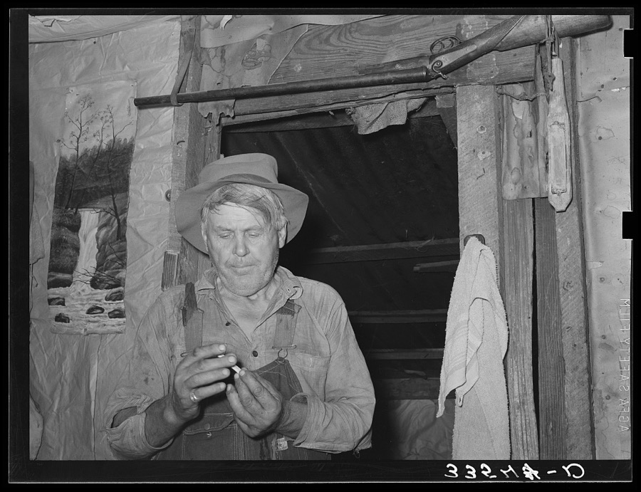



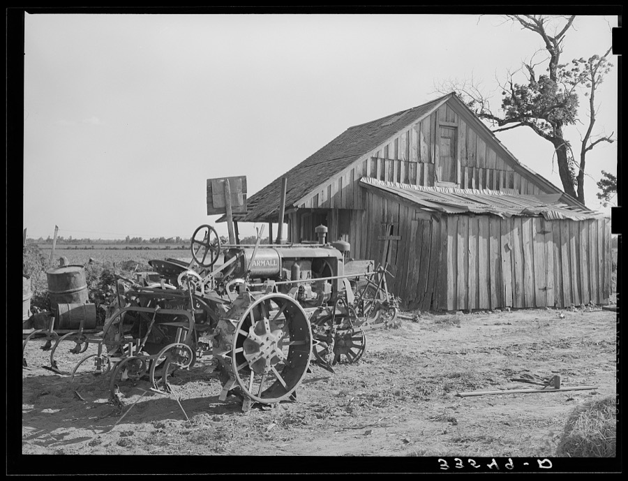

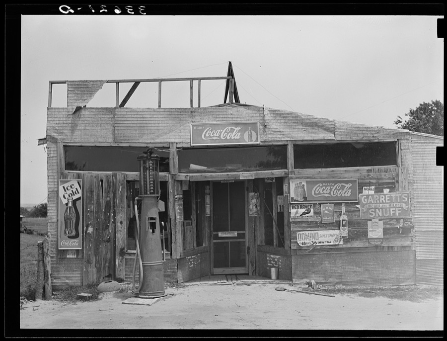
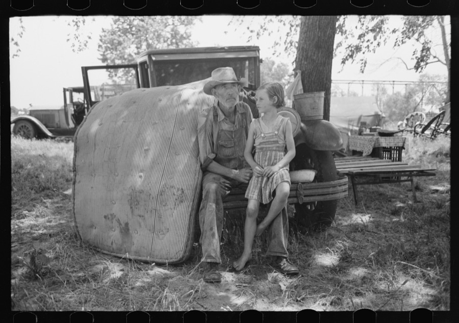



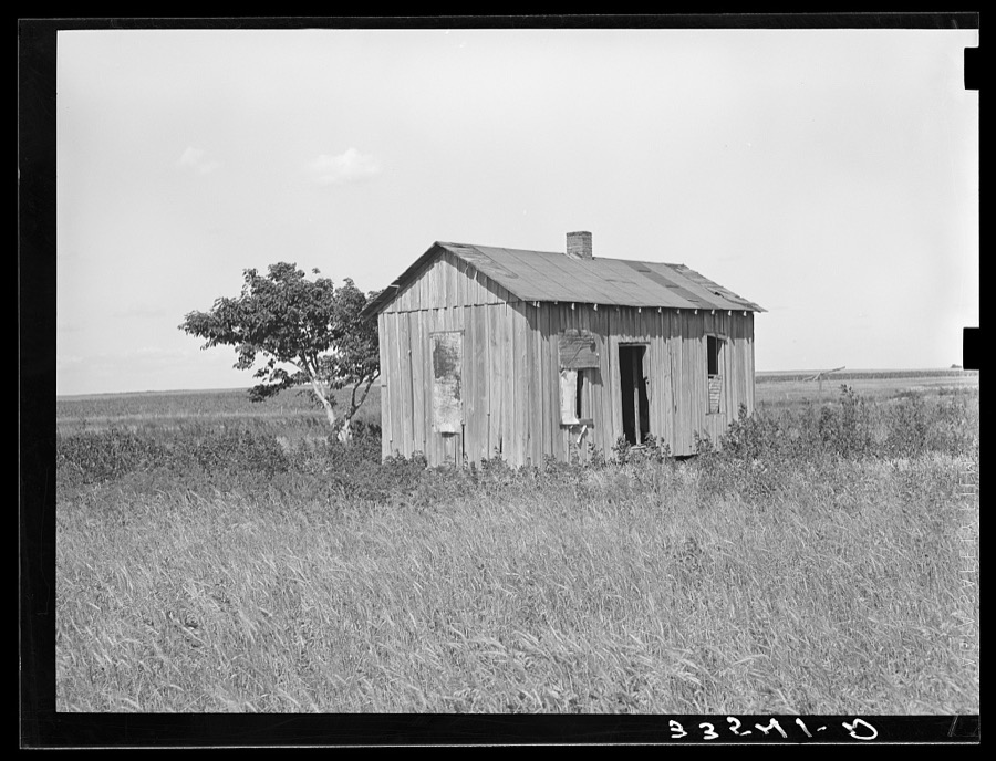
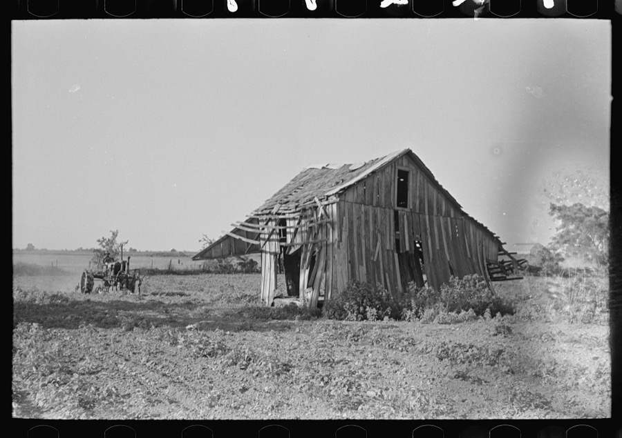
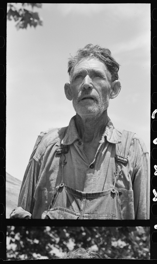
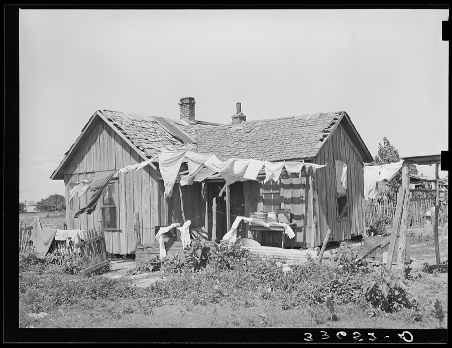



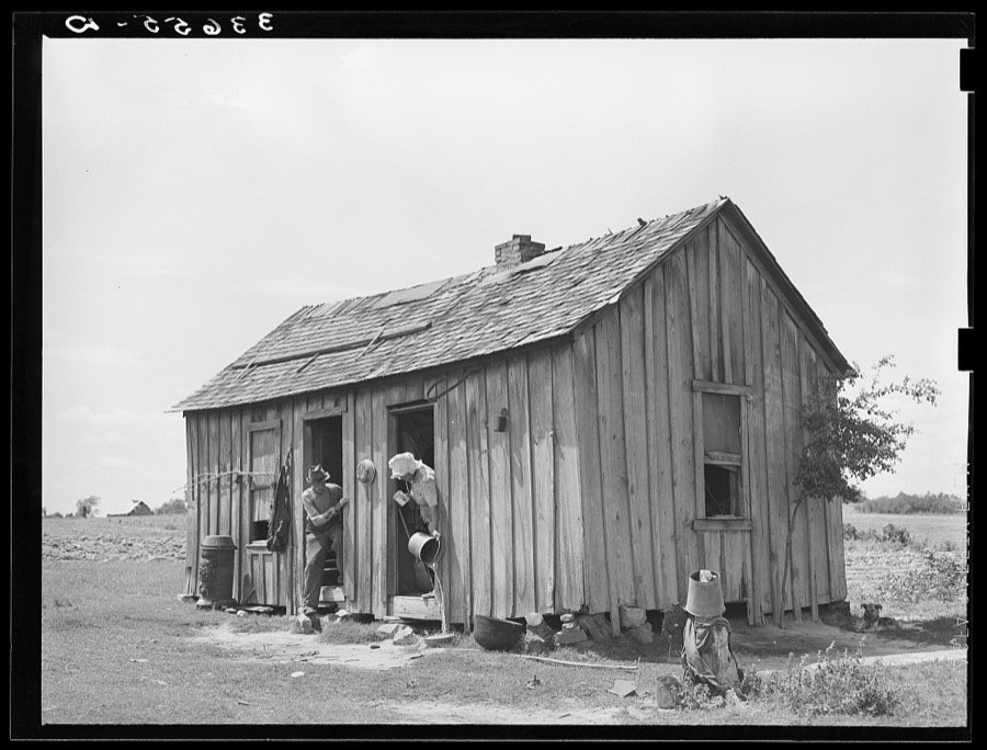


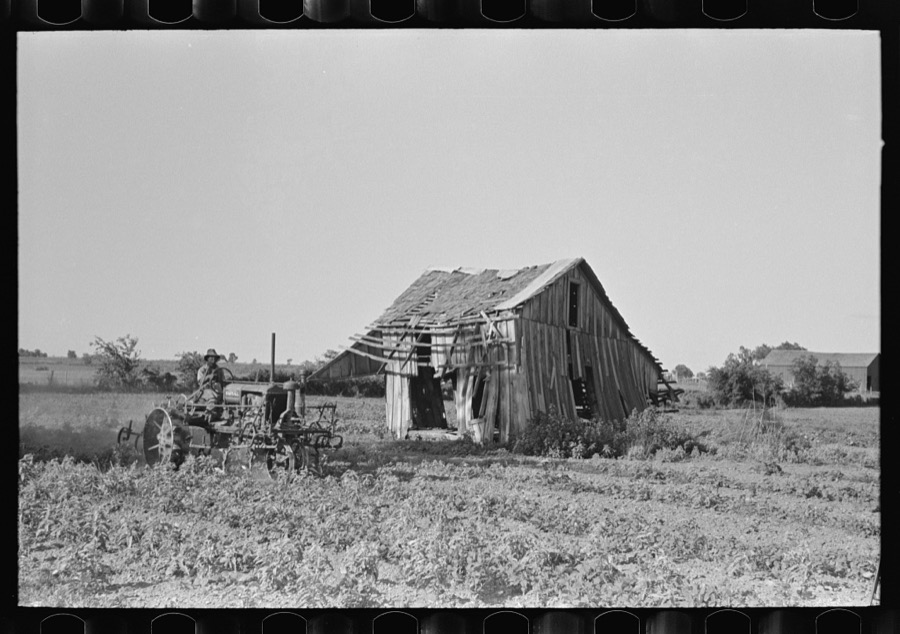

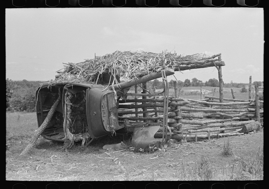
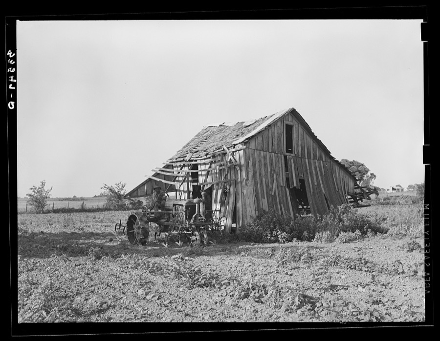
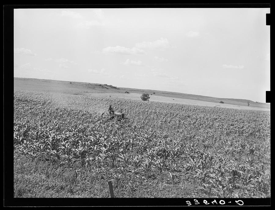
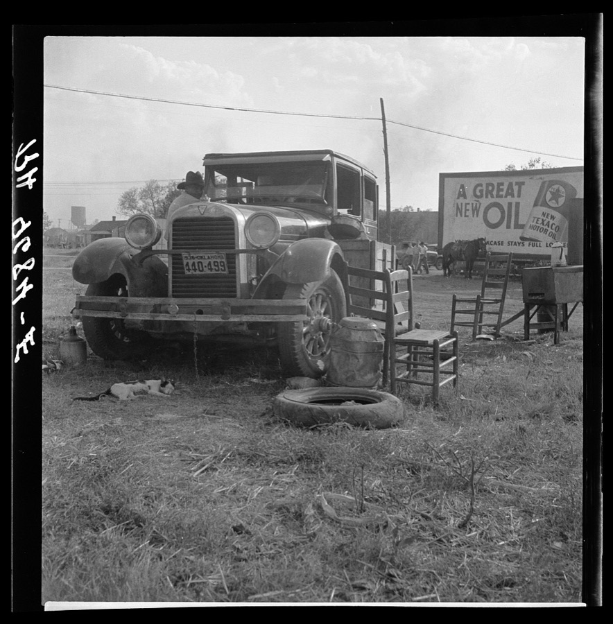
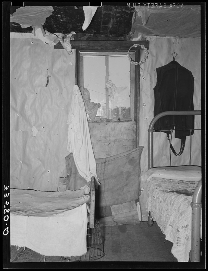
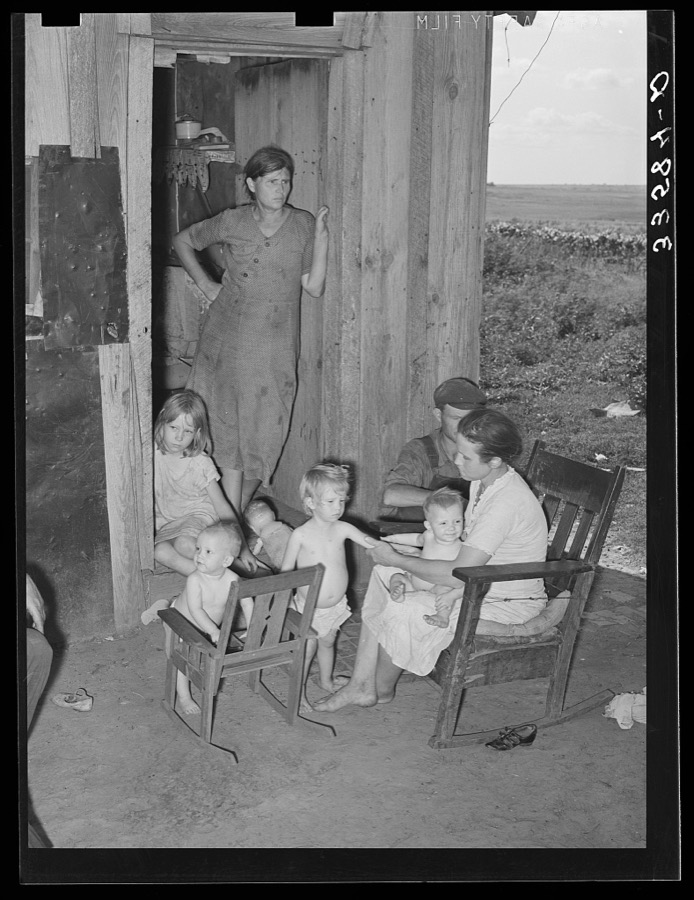

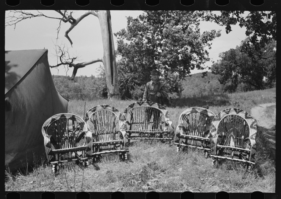
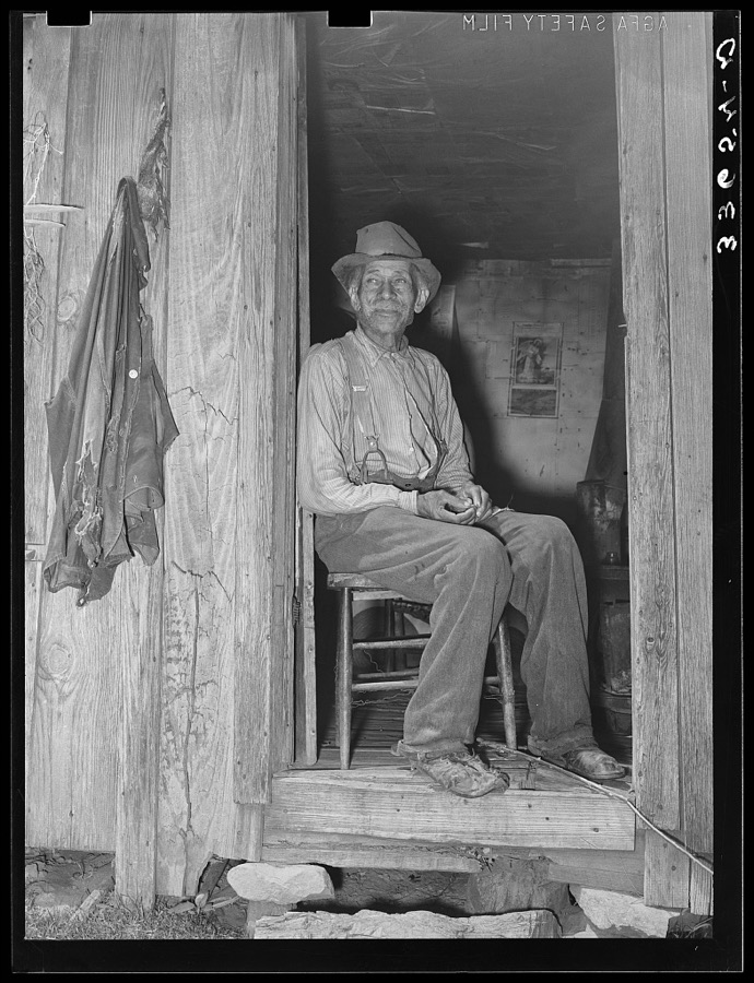


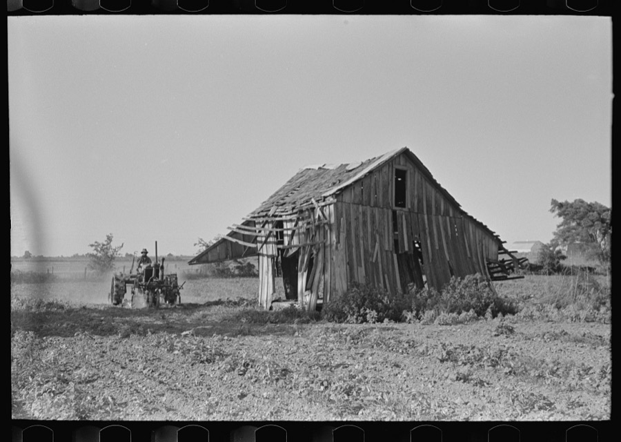
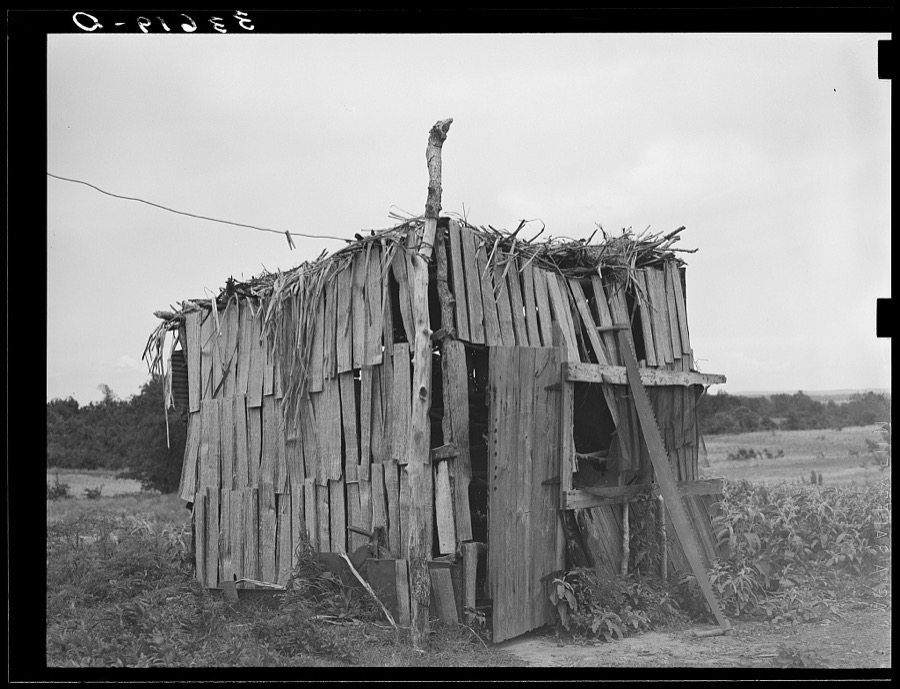



Every property in this county listed on the National Register of Historic Places, with the year it was listed and the federal nomination document.
| Photograph | Property | Type | Listed | Reference |
|---|---|---|---|---|
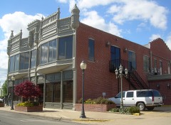 | Cobb Building | building | 1982 | 82003709 |
 | First National Bank of Wagoner | building | 1983 | 83002140 |
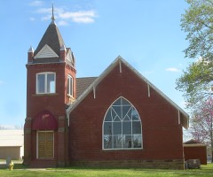 | First Presbyterian Church of Coweta | building | 2003 | 03000099 |
 | John W. Gibson House | building | 1982 | 82003710 |
| Jamison Cemetery | site | 2012 | 12000349 | |
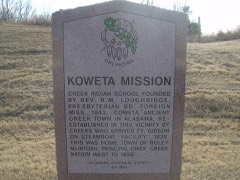 | Koweta Mission Site | site | 1973 | 73001571 |
| A. J. Mason Building | building | 1985 | 85001743 | |
| William McAnally House | building | 1982 | 82003711 | |
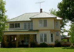 | Collin McKinney House | building | 1982 | 82003708 |
| Miller-Washington School | building | 1984 | 84003448 | |
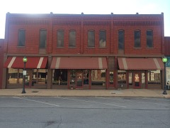 | Newport Hotel and Restaurant | building | 1985 | 85003079 |
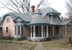 | Amos Parkinson House | building | 1982 | 82003712 |
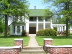 | Frederick Parkinson House | building | 1982 | 82003713 |
| Red Bird City Hall | building | 1984 | 84003450 | |
| Rio Grande Ranch Headquarters Historic District | district | 1992 | 92001191 | |
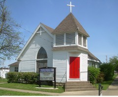 | St James Episcopal Church | building | 1982 | 82003714 |
| Van Tuyl Homeplace | building | 1978 | 78002276 | |
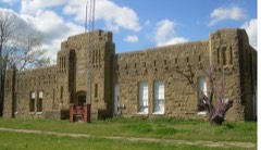 | Wagoner Armory | building | 1994 | 94000490 |
| Way House | building | 1982 | 82003715 |
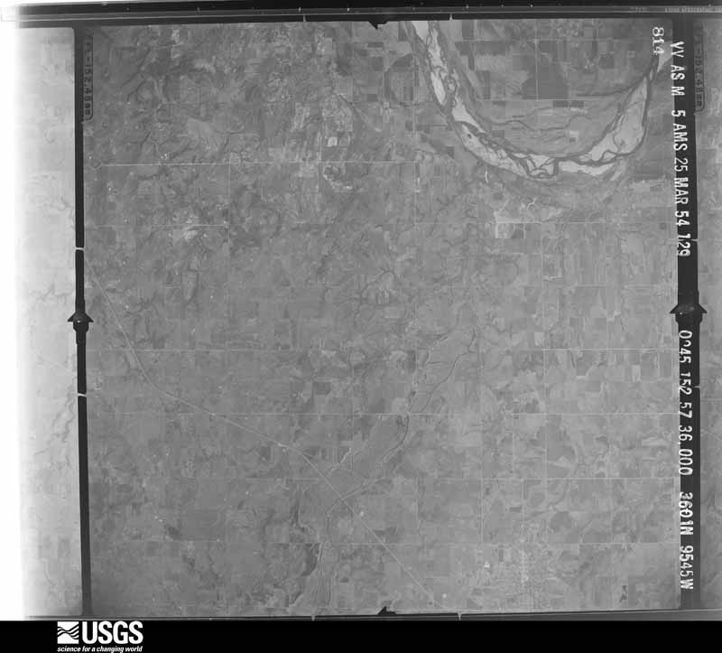
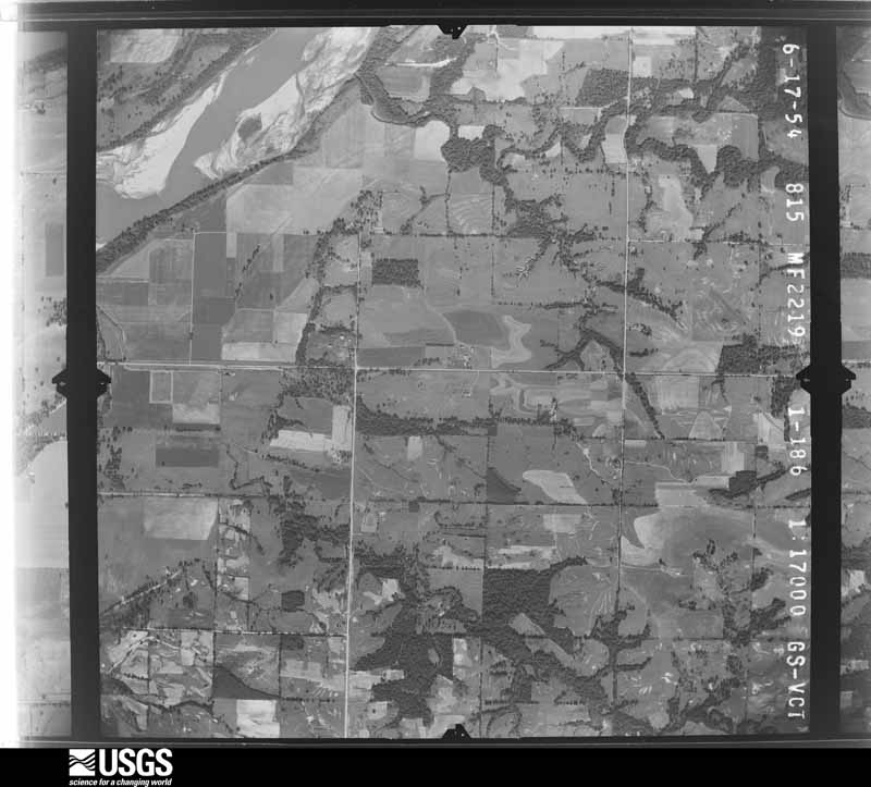
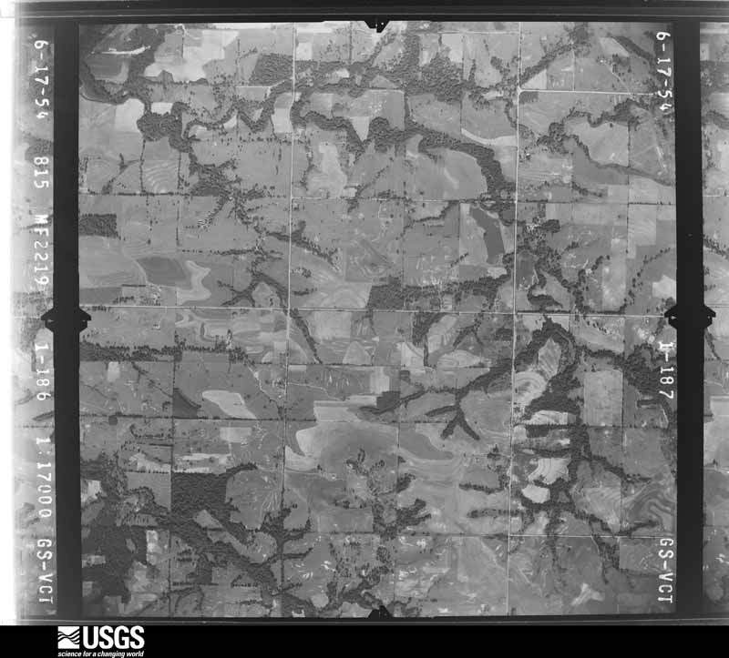
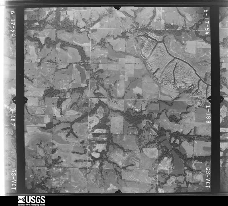
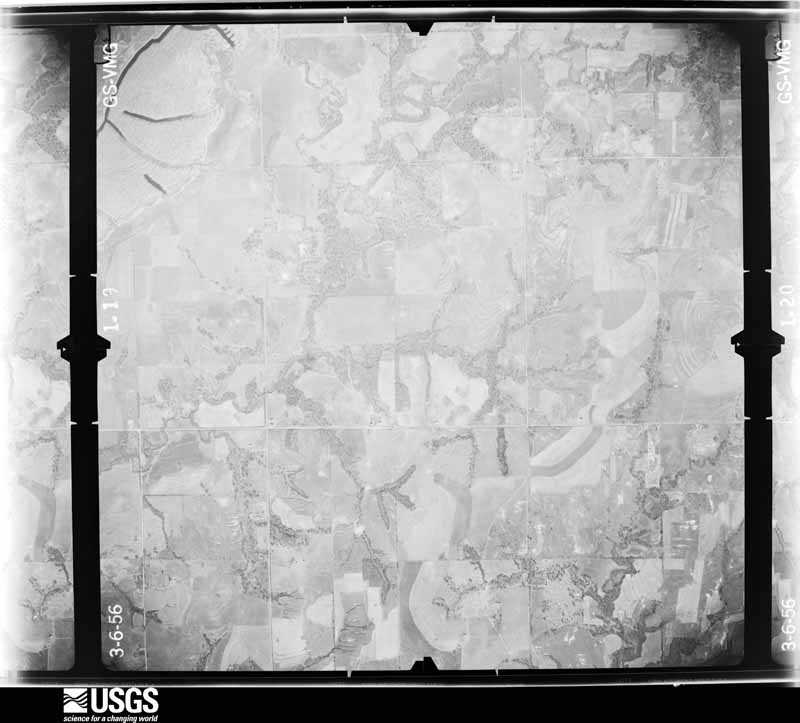
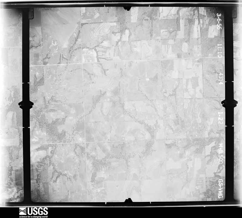
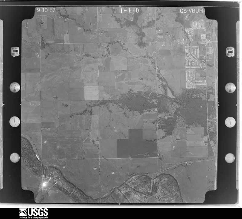
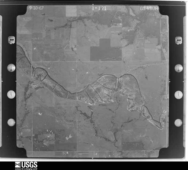
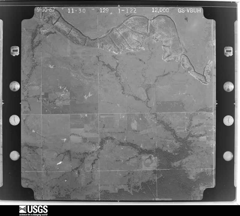
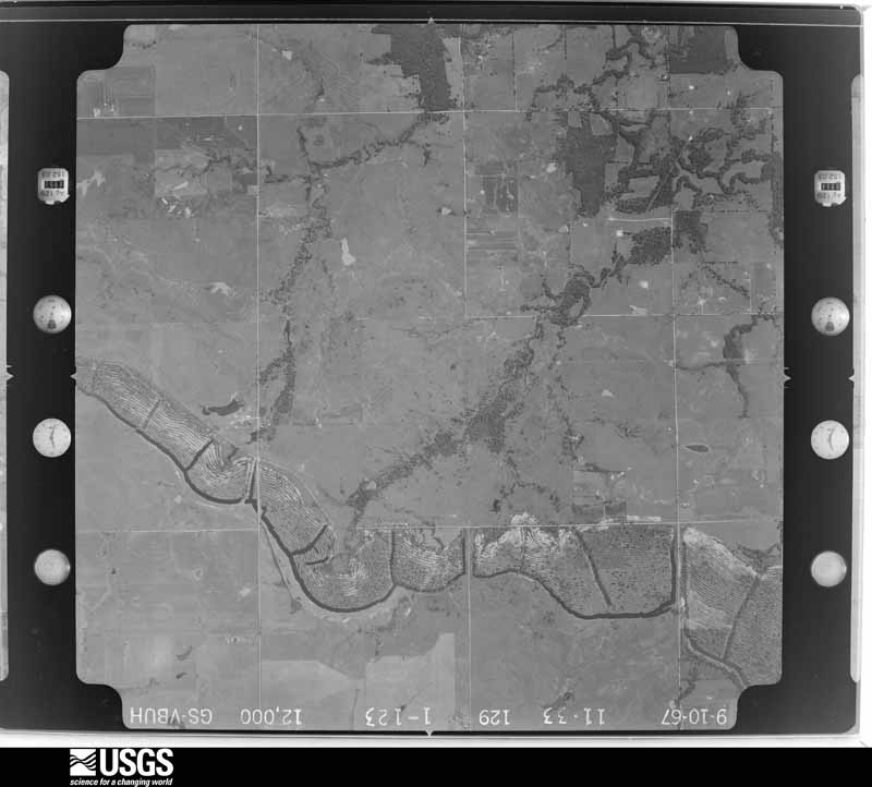
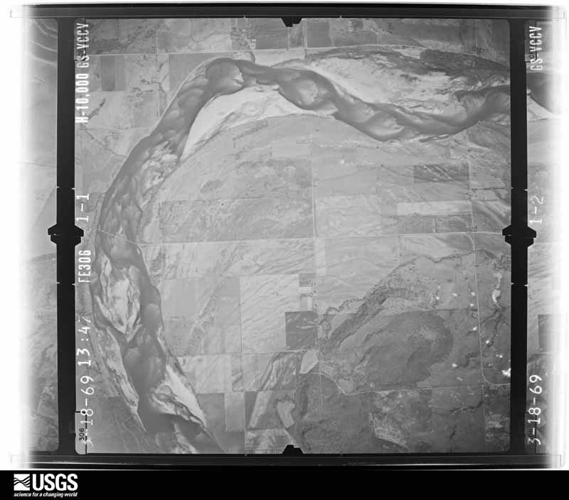
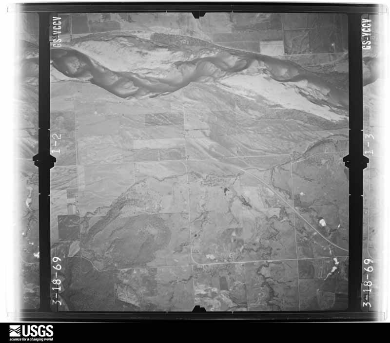
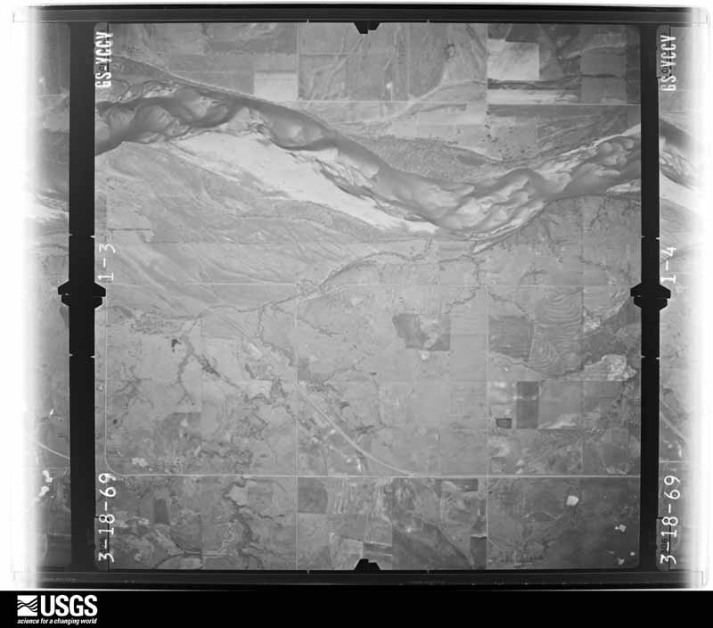
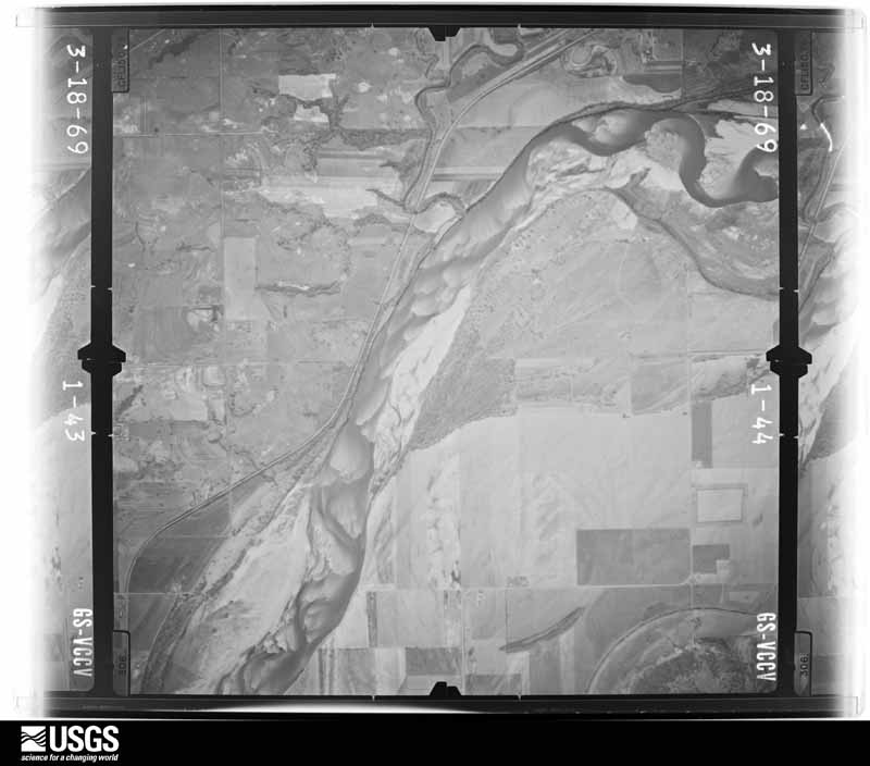
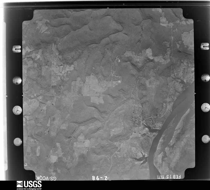
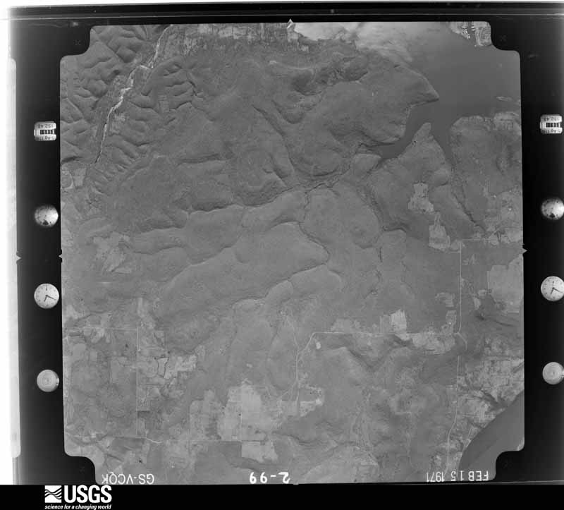
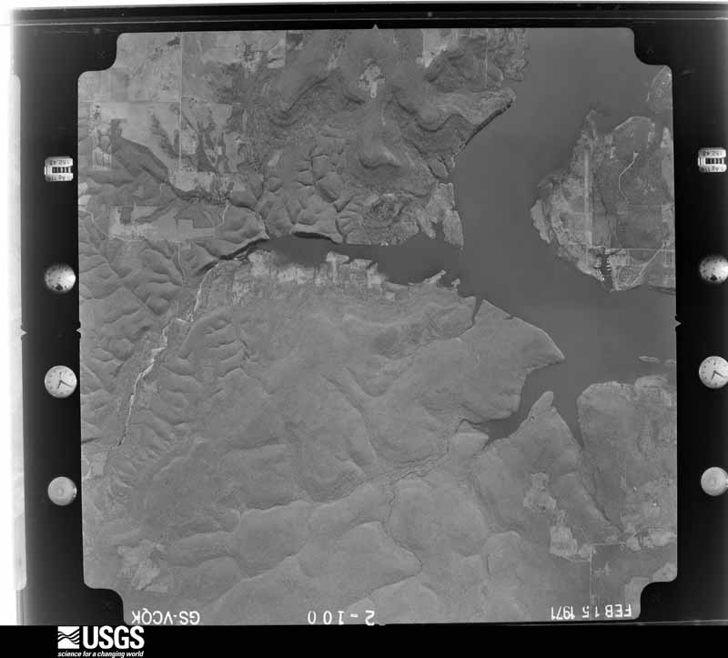
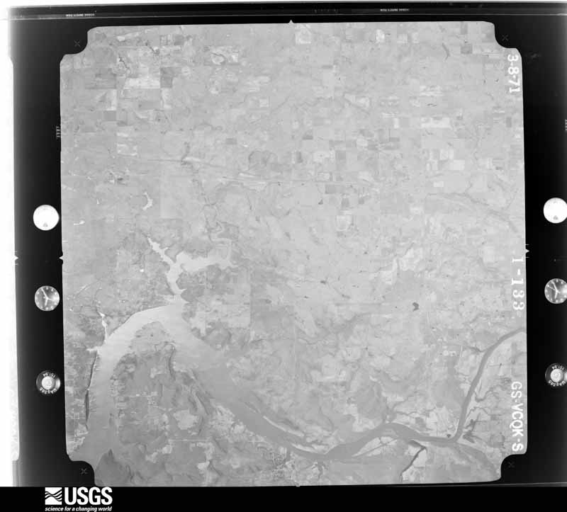
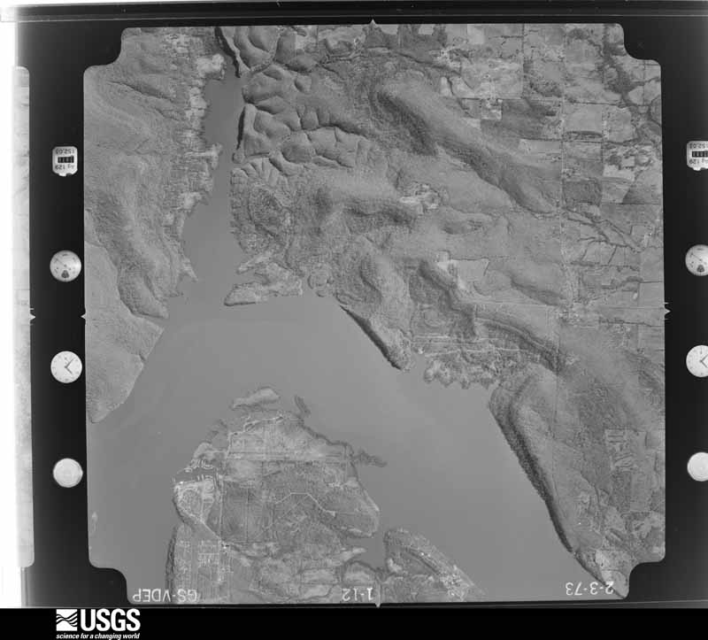
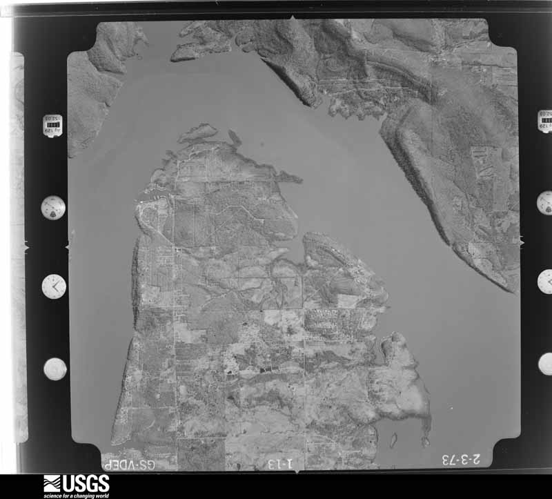
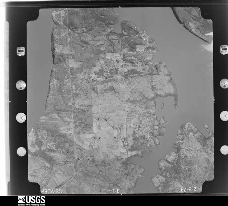
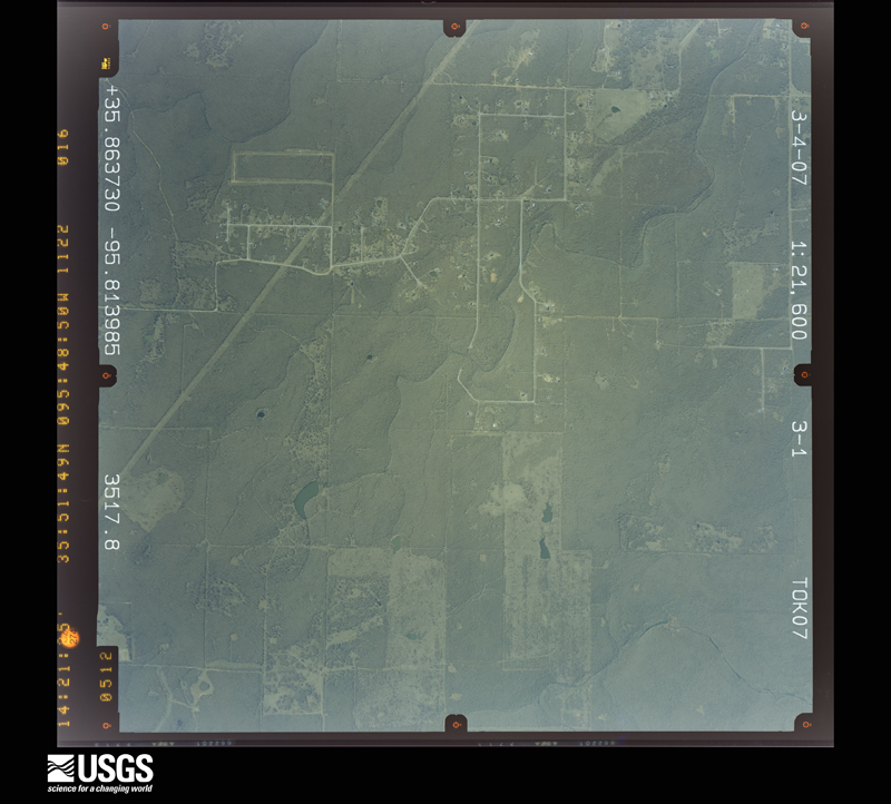
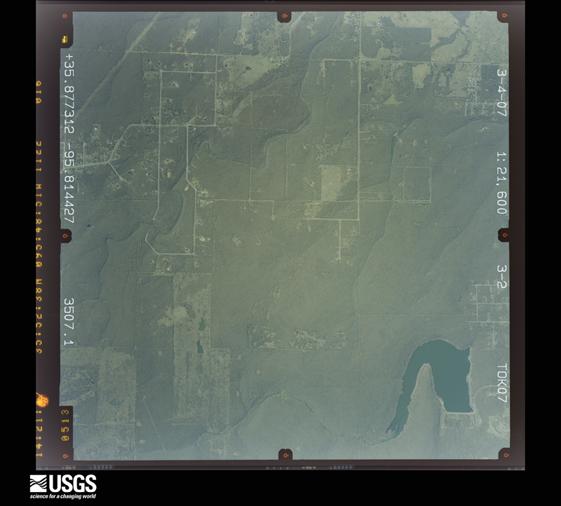
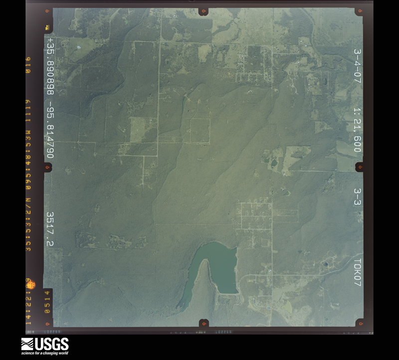
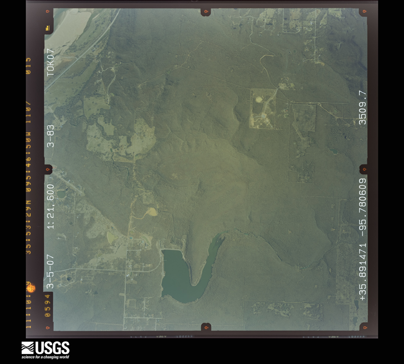
Flown by the U.S. Geological Survey between 1937 and 1989, the Aerial Photo Single Frames collection is the definitive mid-century view of the land: fields, roads and rivers as the camera saw them. The Survey holds 889 frames inside the rectangle that bounds this county; the 36 frames below were taken over the county itself, chosen across the decades of flights (at most four a year from that rectangle), so one flight cannot crowd out the rest. The full set is free to browse and download at EarthExplorer under the dataset Aerial Photo Single Frames.


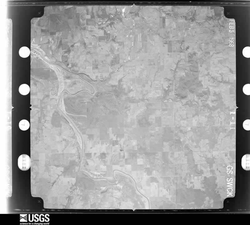
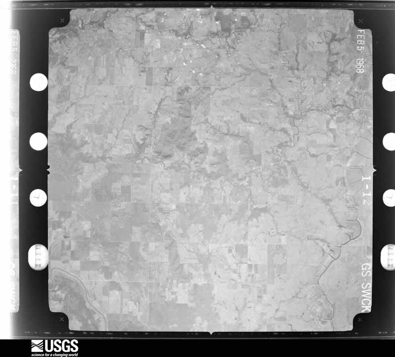
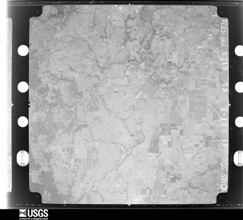
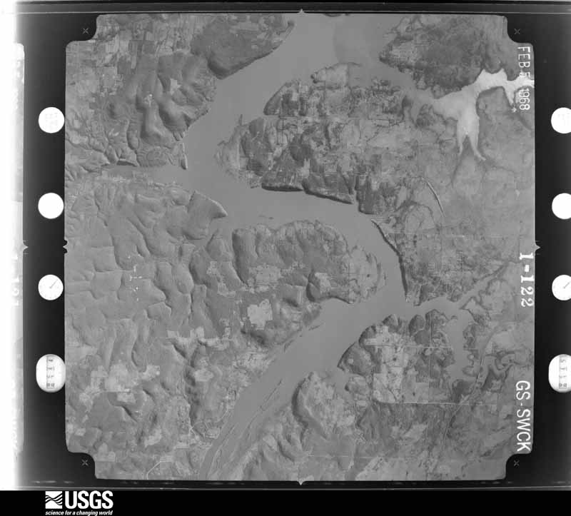
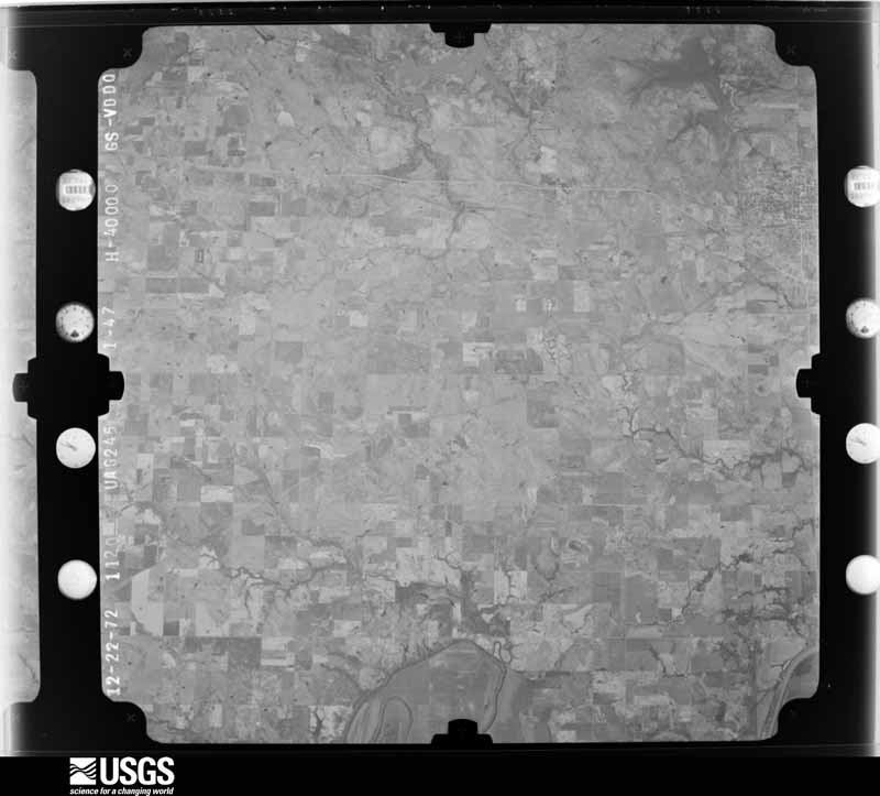
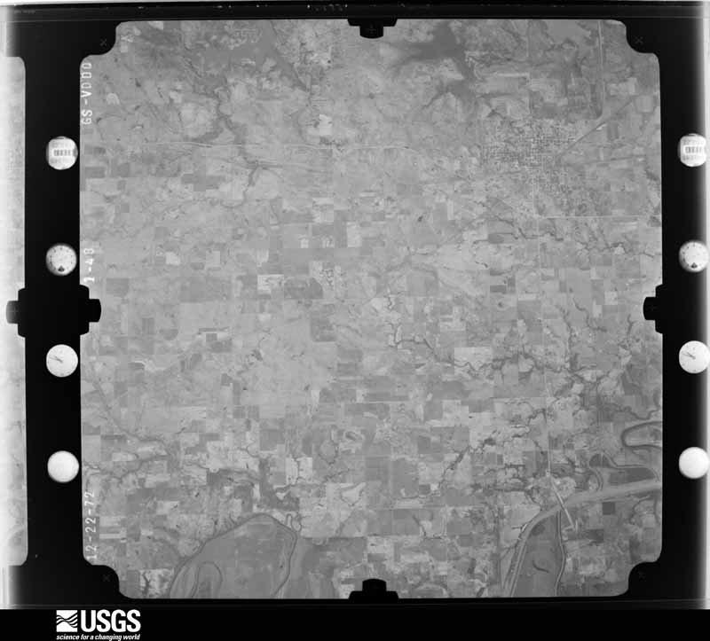
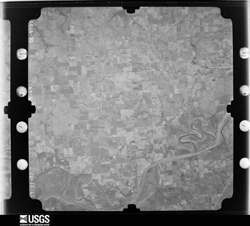
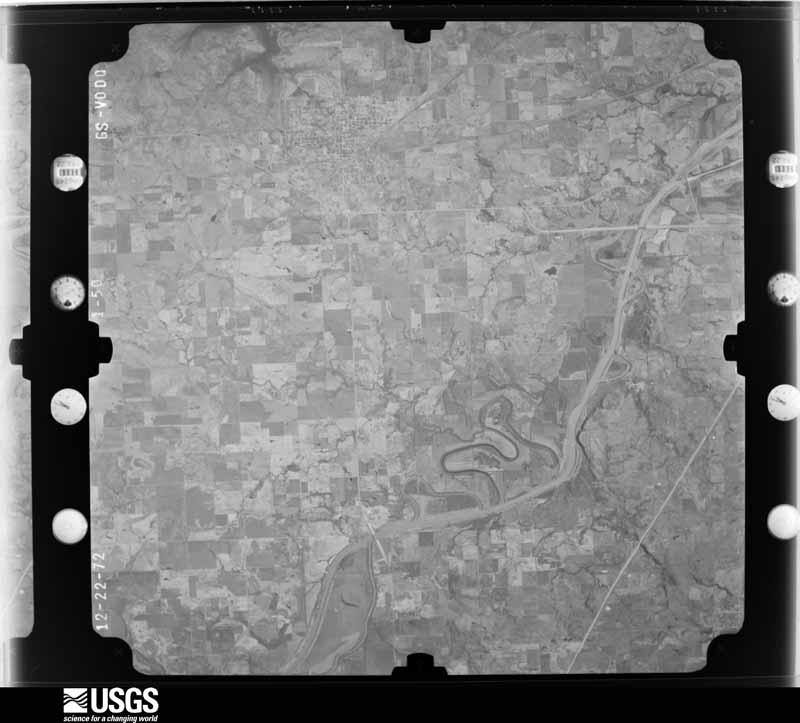

The thermometers that kept this county's weather, and the gages that measured the flow of its streams, as the federal records hold them. The extremes below are measured values from those records, not estimates.
Who lived here in 1950, one enumeration district at a time, as the Census Bureau described each district. Each row opens its official National Archives result, with Population Schedules and ED Maps available there.
Every wildfire the federal occurrence database records inside this county: 67 of them, burning about 5,011 acres. 1 started naturally and 32 were recorded as arson. Each settlement page carries the fires within five miles of it.
| Reported cause | Fires |
|---|---|
| Arson/incendiarism | 32 |
| Missing data/not specified/undetermined | 17 |
| Debris and open burning | 9 |
| Equipment and vehicle use | 7 |
| Natural | 1 |
| Recreation and ceremony | 1 |
The five largest, by the area the report gives. Three of them were set deliberately.
| Date | Cause | Size | Reported by | Name on the report |
|---|---|---|---|---|
| 22 January 2009 | Equipment and vehicle use | 690 acres | Oklahoma Division of Forestry | 20075 |
| 19 January 2009 | Debris and open burning | 600 acres | Okmulgee Field Office | LIBERTY |
| 23 February 2017 | Missing data/not specified/undetermined | 480 acres | Oklahoma Division of Forestry | 141ST |
| 10 January 2007 | Arson/incendiarism | 360 acres | Oklahoma Division of Forestry | 40301 |
| 26 November 2017 | Missing data/not specified/undetermined | 357 acres | Oklahoma Division of Forestry | not named |
| 18 February 2014 | Debris and open burning | 300 acres | Oklahoma Division of Forestry | not named |
| 28 March 1998 | Arson/incendiarism | 300 acres | Oklahoma Division of Forestry | not named |
| 29 February 2016 | Arson/incendiarism | 300 acres | Oklahoma Division of Forestry | not named |
Every settlement page carries the fires within five miles of it - see the settlement index below.
The NOAA Storm Events Database holds 689 reports for this county, causing 1 death, 13 injuries and about $49,662,460 in recorded property damage. Each settlement page carries the reports that name it.
| Kind of event | Reports |
|---|---|
| Thunderstorm Wind | 280 |
| Hail | 270 |
| Flash Flood | 69 |
| Tornado | 63 |
| Flood | 4 |
| Lightning | 2 |
| Funnel Cloud | 1 |
The most serious of them, by death, then injury, then recorded damage. The accounts are quoted exactly as the forecast office filed them.
| When | Event | Place named | Harm | What the report says |
|---|---|---|---|---|
| August 1998 | Lightning | Wagoner | 1 killed | A 58-year old woman was killed by lightning at Sequoyah Bay State Park while fishing. |
| April 1966 | Tornado (F3) | not stated | 6 hurt, $250,000 | no account filed |
| May 2010 | Tornado (EF2) | Oneta | 2 hurt, $400,000 | A tornado severely damaged a home, destroyed several shops and outbuildings, snapped or uprooted numerous trees, and blew down power poles. The estimated peak wind in the tornado based on this damage was 120 mph. Two people were injured by flying debris in the severely damaged home. |
| August 1982 | Tornado (F2) | not stated | 2 hurt, $25,000 | no account filed |
| June 1975 | Tornado (F2) | not stated | 1 hurt, $250,000 | no account filed |
| August 2003 | Thunderstorm Wind | Coweta | 1 hurt, $50,000 | Thunderstorm winds estimated at 70 miles an hour blew a tree down onto a mobile home almost completely destroying it. A man inside the mobile home was cut by debris flying off the headboard of his bed during the impact. |
| September 2009 | Flash Flood | Broken Arrow | 1 hurt | Flash flooding rolled over a car, injuring its occupant. Several other cars were stranded in the high water. |
| June 1974 | Tornado (F3) | not stated | $25,000,000 | no account filed |
| April 1993 | Thunderstorm Wind | Catoosa | $5,000,000 | no account filed |
| October 2021 | Tornado (EF1) | Coweta | $3,000,000 | This tornado developed along the leading edge of a strong convective line of thunderstorms, over a neighborhood on the south side of Coweta between Highway 51B and Highway 72, and south of E156th Street. It moved north-northeast across neighborhoods and the high school before crossing Highway 51. The width of damage increased north of Highway 51, as it moved north-northeast across E146th Street and E136th Street, and then the tornado dissipated over open country south of the Muskogee Turnpike. Numerous homes were damaged by the tornado, several of the buildings at the high school were damaged, several businesses were damaged, numerous trees and power poles were blown down, and several outbuildings were destroyed. Based on this damage, maximum estimated wind in the tornado was 100 to 110 mph. |
| May 2013 | Tornado (EF2) | Broken Arrow | $3,000,000 | This is the second and final segment of this tornado. As the tornado crossed into Wagoner County south of E 91st Street South it blew down trees and damaged barns. Roofs of homes were damaged as it crossed E 91st Street South near S 199th E Avenue, where it also snapped trees and damaged barns. The tornado turned more east crossing open fields and the Muskogee Turnpike. A gas station, several metal buildings, and a small wood-framed building was damaged as it crossed Highway 51. ||The tornado appeared to intensify as it approached and crossed S 225th E Avenue where several homes were severely damaged. The most pronounced damage followed as the tornado moved into a subdivision north of E 91st Street South, where the second floor of one home was destroyed. Several other homes in this neighborhood sustained major damage to their roofs and exterior walls. The tornado continued to move eastward, crossing the Muskogee Turnpike where it snapped numerous large trees. Two school buildings lost a number of windows as the tornado approached S 257th E Avenue. A home was damaged and a large outbuilding was destroyed in this area. Trees were snapped along and near Joy Avenue before the tornado dissipated.||Maximum estimated wind in this segment of this tornado based on this damage was 125 to 135 mph. |
| May 1976 | Tornado (F2) | not stated | $2,500,000 | no account filed |
| May 2015 | Tornado (EF2) | Kadashan | $2,000,000 | This is the first segment of a two segment tornado. The tornado developed just east of the Tulsa/Wagoner County line near E 131st St South. It moved rapidly northeast damaging as many as 120 homes, some severely, destroying barns and outbuildings, snapping and uprooting many trees, and snapping power poles. Based on this damage, maximum estimated wind in this segment of the tornado was 110 to 120 mph. |
| March 2026 | Tornado (EF1) | Oneta | $1,000,000 | This tornado developed over open country north of E 91st Street S and west of S 257th East Avenue. It moved northeast across a neighborhood west of S 257th East Avenue, where the roofs of numerous homes were damaged and windows were broken. The tornado damaged the roofs of more homes east of S 257th East Avenue, along E 85th Street S, E 86th Street S, and Joy Avenue. Several outbuildings were also damaged in this area, several trees were snapped or uprooted, and numerous large tree limbs were snapped. The tornado dissipated just west of S 273rd East Avenue. KINX WSR-88D radar data indicated this tornado rotated anticyclonically. Based on this damage, maximum estimated wind in the tornado was 90 to 100 mph. |
| May 2000 | Flash Flood | Countywide | $600,000 | Heavy rains fell across Wagoner county during the early morning hours May 6 with the reports of 5 to 6 inches common over the western part of the county. Flooding was widespread across Wagoner county but the most damage occurred in Coweta where Coweta Creek overflowed its banks into the Cottonwood subdivision. 21 homes were flooded in this subdivision. Numerous highways and roads were closed due to the flooding. A few of the highways closed included Highway 16 between Wagoner and Okay, Highway 104 between Porter and Haskell and Highway 72 between Coweta and Haskell. Damage to roads, bridges and other infrastructure across the county were estimated at $175,000. |
| June 2023 | Thunderstorm Wind | Broken Arrow | $543,000 | Thunderstorm wind resulted in at least $543,000 in debris removal and damage to the utility infrastructure across the county during this severe thunderstorm. Some people were without power for over a week. |
| May 2006 | Flash Flood | West Portion | $500,000 | Radar indicated as much as 7 inches of rain may have fallen in western Wagoner County in just a couple hours. The very heavy rainfall caused several streets to be flooded with some water rescues of motorists performed as vehicles were inundated as water rose several feet over roads. Forty-four homes received flood damage with 14 of those receiving major damage. The subdivisions with the most damage were Glen Eagles, Steeplechase Farms, Turnberry and Covington Estates. |
| April 1995 | Tornado (F2) | Okay to | $500,000 | no account filed |
| May 2011 | Tornado (EF2) | La Barge | $400,000 | A tornado developed and moved across the southeastern portion of the City of Wagoner where it damaged the roofs of about a dozen homes, destroyed a carport, and snapped trees. The tornado moved across portions of Fort Gibson WMA and then across Long Bay of Fort Gibson Lake before impacting the Taylor Ferry and Long Bay Recreational Areas. In those areas, numerous campers and trailers were severely damaged or destroyed, several mobile homes were destroyed, several permanent homes were damaged, and numerous large trees were snapped or uprooted. Maximum estimated wind in the tornado based on this damage was about 115 mph. Several storm chasers, storm spotters, and citizens witnessed this tornado. |
| May 1989 | Tornado (F1) | not stated | $250,000 | no account filed |
| September 1986 | Tornado (F2) | not stated | $250,000 | no account filed |
| September 1980 | Tornado (F2) | not stated | $250,000 | no account filed |
| August 1970 | Tornado (F1) | not stated | $250,000 | no account filed |
| May 1960 | Tornado (F2) | not stated | $250,000 | no account filed |
| May 2017 | Tornado (EF1) | Gibson | $200,000 | This is the first segment of a two segment tornado. In Wagoner County, this tornado developed southeast of Wagoner in the lowlands of Fort Gibson Lake. It moved northeast uprooting numerous trees, damaging homes, and destroying outbuildings north of Highway 51. The tornado then moved over Fort Gibson Lake and back onshore northeast of Wagoner where trees were uprooted and snapped, several boat docks were destroyed, and homes were damaged. It moved back over Fort Gibson Lake and then across the far northeastern portion of Wagoner County where trees were uprooted and snapped. The tornado continued into Mayes County. Based on this damage, maximum estimated wind in this segment of the tornado was 90 to 100 mph. |
| July 2013 | Tornado (EF1) | La Barge | $180,000 | This tornado damaged a metal building, destroyed barns and outbuildings, destroyed portions of two storage units, damaged the roofs and siding of dozens of homes and businesses, uprooted trees, and blew down power poles. Based on this damage, maximum estimated wind in the tornado was 90 to 100 mph. |
| May 2003 | Tornado (F1) | Okay | $150,000 | A F1 tornado touched down south southeast of Okay and crossed into Muskogee county. The damage was characterized by a few damaged to destroyed mobile homes and several damaged to destroyed outbuildings and sheds. Trees and utility poles were also blown down. The few single family houses in the path sustained lesser damage. |
| May 2017 | Tornado (EF1) | Porter | $120,000 | This tornado developed south of Porter where it uprooted trees and destroyed an outbuilding. It moved northeast damaging homes, destroying outbuildings, uprooting or snapping numerous trees, and blowing down power poles. The tornado dissipated on the northwestern side of Wagoner, north of Highway 51. Based on this damage, maximum estimated wind in the tornado was 95 to 105 mph. |
| June 2023 | Thunderstorm Wind | Broken Arrow | $100,000 | Strong thunderstorm wind caused extensive damage to trees, and damaged the roofs of many homes. |
| April 2016 | Hail | Coweta | $100,000 | Hail larger than golfball size damaged the roofs of buildings and vehicles. |
| May 2004 | Tornado (F1) | Coweta | $100,000 | At 404 pm cdt a tornado developed on the north of Coweta near the intersection of Highway 51 and 127th Street South. The tornado traveled south southeast into Coweta before dissipating at 410 pm cdt just before reaching Highway 51 near 305th East Avenue. The tornado damaged the roofs of a number of homes and downed trees and power lines. |
| October 1998 | Flash Flood | Countywide | $97,000 | OK Hwy 16 between Wagoner and Okay had to be closed because of high water. In the city of Wagoner, several houses and business were flooded. The old Verdigris River bridge south of Okay (no longer in use) had 70 feet of its remaining structure collapse into the river. Across southeastern Wagoner County, several of the county's wooden bridges sustained damage. In Coweta, many residents had to be evacuated due to rising water. Several residents of Coweta had to be rescued after being stranded in either their homes or their vehicles. |
| November 2021 | Tornado (EF0) | Broken Arrow | $75,000 | This brief tornado damaged barns, snapped large tree limbs, and damaged a small grain silo just east of County Line Road on E 31st Street, and then dissipated in open country north of E 31st Street. Based on this damage, maximum estimated wind in the tornado was 75 to 80 mph. |
| May 2019 | Tornado (EF0) | Broken Arrow | $75,000 | This is the second segment of a two-segment tornado. This tornado moved into Wagoner County just south of E Albany Street where the roofs of homes were damaged and large tree limbs were snapped. It moved east and dissipated before reaching S 209th East Avenue. Based on this damage, maximum estimated wind in this segment of the tornado was 75 to 80 mph. |
| July 2016 | Thunderstorm Wind | Coweta | $75,000 | Strong thunderstorm wind damaged the roof of the Coweta School, damaged buildings, blew down power lines, and snapped large tree limbs. |
| May 1999 | Thunderstorm Wind | Wagoner | $65,000 | In the Grand View Addition along White Horn Cove Road, northeast of Wagoner, twelve permanent homes received minor damage. Most residences were damaged when trees were blown onto the homes. However, the winds were also directly responsible for minor roof damage and for blowing several awnings away. One home had a power line resting against it. Other areas in the northeastern portion of Wagoner County had downed tree limbs, including the city of Wagoner. |
| June 2023 | Thunderstorm Wind | Coweta Easley Arpt | $50,000 | Strong thunderstorm wind caused extensive tree and power line damage, and damaged barns and outbuildings along S 305th E Avenue, between E 71st Street and E 101st Street. |
| July 2016 | Thunderstorm Wind | Coweta | $50,000 | Strong thunderstorm wind destroyed several barns and outbuildings, and blew the roofs off of several others. |
| July 2016 | Thunderstorm Wind | Porter | $50,000 | Strong thunderstorm wind damaged the roofs of buildings, blew down power lines, snapped large tree limbs, and blew down tents set up for the annual Porter Peach Festival. |
| September 2009 | Flash Flood | Coweta | $50,000 | Heavy rains caused numerous streets to be flooded in and around Coweta. Water got into a few homes and businesses. |
| May 2001 | Hail | Stonebluff | $50,000 | Golfball size hail damaged some cars and roofs of buildings. |
| August 1999 | Thunderstorm Wind | Coweta | $50,000 | Winds gusting to near 80 miles an hour caused significant damage in Coweta. The Coweta Intermediate Grade Center had part of its roof blown off, rendering four of the classrooms unusable. Thirteen houses and businesses near downtown Coweta sustained damage in the form of broken windows and blown-off roofs. One of the hardest-hit areas was between 141st and 151st Streets just west of Broadway. Numerous trees were blown over, at least two of which were blown onto and damaged vehicles. Trees were also blown into roads, blocking traffic for some time. The winds downed 24 electrical and telephone lines, igniting several fires. |
| August 1993 | Thunderstorm Wind | Coweta | $50,000 | no account filed |
| December 2008 | Tornado (EF1) | Broken Arrow | $45,000 | A tornado severely damaged a mobile home and destroyed a shed. |
| March 2026 | Tornado (EF0) | Oneta | $40,000 | This tornado developed just south of the Muskogee Turnpike, east of S 225th East Avenue. It moved northeast across a neighborhood west of S 241st East Avenue, and then into the southern portion of Forest Ridge. The tornado uprooted a few trees, damaged the roofs of several homes, snapped large tree limbs, and blew down large sections of privacy fences. Based on this damage, maximum estimated wind in the tornado was 80 to 85 mph. |
| June 2023 | Thunderstorm Wind | Oneta | $40,000 | Strong wind blew down a tree onto a house. |
| December 2019 | Tornado (EF0) | Oneta | $40,000 | This is the second segment of a two-segment tornado. This tornado crossed into Wagoner County where a portion of the roof of a home was uplifted, and many shingles were removed from the roof of another nearby home. Large tree limbs were snapped from the county line, across neighborhoods, on the south side of the Jack Graves Scout Reservation, to where it dissipated north of the NSU Broken Arrow campus. Based on this damage, maximum estimated wind in this segment of the tornado was 80 to 85 mph. |
| July 2015 | Thunderstorm Wind | Coweta | $40,000 | Strong thunderstorm wind damaged the roofs of homes, blew down large tree limbs, and snapped power poles. |
| April 2011 | Tornado (EF1) | La Barge | $40,000 | A tornado damaged a permanent home, destroyed several outbuildings, and snapped or uprooted a number of trees. Maximum estimated wind in the tornado based on this damage was about 110 mph. |
| April 1999 | Tornado (F0) | Okay | $40,000 | A small tornado touched down on the south edge of Sequoyah Bay State Park and destroyed an equipment shed. The tornado moved north-northeast through the park, downing several trees and causing minor damage to two vehicles and two campers. One of the campers set down on one end of a pickup truck. The gate attendants' trailer was moved six feet. The tornado destroyed an empty boat dock before eyewitnesses reported it moving into Fort Gibson Lake as a waterspout. The waterspout moved toward the Highway 51 bridge but dissipated before reaching the bridge. |
| September 2010 | Flash Flood | Oneta | $35,000 | Several county roads were damaged by flooding. |
| April 2024 | Tornado (EF1) | Choska | $30,000 | This tornado developed southwest of Porter and moved northeast to near the intersection of S 429th East Avenue and E 211 Street South, before turning north-northeast and crossing over the Muskogee Turnpike. The tornado dissipated before crossing the Verdigris River, about two miles north of the Turnpike. The tornado damaged the roof of a home, destroyed a small outbuilding, and uprooted and snapped trees along its path. Based on this damage, maximum estimated wind in the tornado was 100 to 110 mph. |
| June 2023 | Thunderstorm Wind | Oneta | $30,000 | Strong thunderstorm wind caused extensive damage to trees and power lines, and damaged the roofs of several homes. |
| October 2023 | Hail | Broken Arrow | $30,000 | Ping pong ball size hail damaged homes and vehicles. |
| July 2021 | Flash Flood | Coweta | $30,000 | Portions of E 146th Street S were flooded near S Division Street. Three people were rescued from their flooded homes. |
| April 1999 | Flash Flood | Countywide | $30,000 | In Coweta, numerous streets and side roads were closed. Coweta Creek overflowed its banks and caused flooding problems in the Cottonwood subdivision. |
| February 2023 | Thunderstorm Wind | Redbird | $25,000 | Strong thunderstorm wind damaged the roofs of homes and aircraft hangars. |
| June 2023 | Thunderstorm Wind | Broken Arrow | $25,000 | Strong thunderstorm wind caused extensive tree and power line damage. |
| June 2023 | Thunderstorm Wind | Oneta | $25,000 | Strong thunderstorm wind caused extensive tree and power line damage. |
| July 2022 | Tornado (EF1) | Broken Arrow | $25,000 | This is the second segment of a two segment tornado. This tornado moved into Wagoner County near the intersection of S 193rd East Ave and E Kenosha Street. It moved east-northeast along and then north of E Kenosha Street, before dissipating just west of S 241st East Ave. In Wagoner County, trees were uprooted, large tree limbs were snapped, and the roofs of homes were damaged. Based on this damage, maximum estimated wind in this segment of the tornado was 90 to 95 mph. |
The Survey's mineral resources record lists 31 workings inside this county. 6 still produce and 25 are closed or unrecorded. Each settlement page carries the workings within five miles of it.
| Commodity | Workings |
|---|---|
| Sand and Gravel, Construction | 26 |
| Stone, Crushed/Broken | 4 |
| Clay | 1 |
The least common of them first, because a county's hundredth gravel pit says nothing its first ten did not.
| Where | Site | Commodity | Status | Recorded |
|---|---|---|---|---|
| Unknown Shale Pit | Clay | Past Producer | ||
| Arkhola Mine #1 | Stone, Crushed/Broken | Producer | ||
| Unknown Limestone Pit | Stone, Crushed/Broken | Past Producer | ||
| Unknown Sandstone Pit | Stone, Crushed/Broken | Past Producer | ||
| Unknown Sandstone Pit | Stone, Crushed/Broken | Past Producer | ||
| Clay Davault Pit | Sand and Gravel, Construction | Producer | ||
| Coweta Sand Dredge and Plant | Sand and Gravel, Construction | Producer | ||
| Dill Pit | Sand and Gravel, Construction | Producer | ||
| Frank Livingston Sand Pit | Sand and Gravel, Construction | Producer | ||
| Joe Allen Dredge & Plant | Sand and Gravel, Construction | Producer | ||
| Sinor Sand Co Gravel Pit | Sand and Gravel, Construction | Past Producer | ||
| Unknown Gravel Pit | Sand and Gravel, Construction | Past Producer | ||
| Unknown Gravel Pit | Sand and Gravel, Construction | Past Producer | ||
| Unknown Gravel Pit | Sand and Gravel, Construction | Past Producer | ||
| Unknown Gravel Pit | Sand and Gravel, Construction | Past Producer | ||
| Unknown Gravel Pit | Sand and Gravel, Construction | Past Producer | ||
| Unknown Gravel Pit | Sand and Gravel, Construction | Past Producer | ||
| Unknown Gravel Pit | Sand and Gravel, Construction | Past Producer | ||
| Unknown Gravel Pit | Sand and Gravel, Construction | Past Producer | ||
| Unknown Gravel Pit | Sand and Gravel, Construction | Past Producer | ||
| Unknown Gravel Pit | Sand and Gravel, Construction | Past Producer | ||
| Unknown Gravel Pits | Sand and Gravel, Construction | Past Producer | ||
| Unknown Gravel Pits | Sand and Gravel, Construction | Past Producer | ||
| Unknown Sand Pit | Sand and Gravel, Construction | Past Producer | ||
| Unknown Sand Pit | Sand and Gravel, Construction | Past Producer | ||
| Unknown Sand Pit | Sand and Gravel, Construction | Past Producer | ||
| Unknown Sand Pit | Sand and Gravel, Construction | Past Producer | ||
| Unknown Sand Pit | Sand and Gravel, Construction | Past Producer | ||
| Unknown Sand Pit | Sand and Gravel, Construction | Past Producer | ||
| Unknown Sand Pit | Sand and Gravel, Construction | Past Producer | ||
| Unknown Sand Pit | Sand and Gravel, Construction | Past Producer |
The part of each published history that is about one town: 1 chapter, each reproduced complete.
| Town | Chapter | From | Length |
|---|---|---|---|
| Porter | Muskogee and Northeastern Oklahoma, Including the Counties of Muskogee | Muskogee and Northeastern Oklahoma, Including the Counties of Muskogee, McIntosh, Wagoner, Cherokee, Sequoyah, Adair, Delaware, Mayes, Rogers, Washington, Nowata, Craig, and Ottawa (1922) | 322 words |
One book written about this county, cut here where the book itself is cut, at its printed chapters: 1 chapter in all. Every chapter is public domain, machine-read from the scan and reproduced complete. A chapter already given under one of the county's towns is not repeated in this list.
| Chapter | Length |
|---|---|
| Chapter 28: Wagoner County | 3,393 words |
Named settlements recorded in the Geographic Names Information System, each with the topographic sheets covering it. Villages, hamlets and abandoned places alike. Each is shown with the nearest named watercourse or landform and the survey quadrangle it falls on. The 3 places that were also surveyed for fire insurance come first, with the number of atlases and photographs held for them.
Coweta census division · 74429 · Coweta quadrangle
16 sheets, 1896 to 1978
Fire insurance: 4 atlases
South Wagoner census division · 74454 · Taft quadrangle
14 sheets, 1896 to 1978
Fire insurance: 4 atlases
Wagoner census division · 74467 · Wagoner East quadrangle
18 sheets, 1901 to 1978
Fire insurance: 9 atlases
South Wagoner census division · 74454 · On Big Creek · Northwest Muskogee quadrangle
18 sheets, 1901 to 1978
Wagoner census division · 74446 · On Clinging Creek · Northeast Muskogee quadrangle
18 sheets, 1901 to 1978
Coweta census division · 74436 · Near Conjada Mountains · Coweta quadrangle
16 sheets, 1896 to 1978
Wagoner census division · 74467 · On Hickory Creek · Wagoner East quadrangle
18 sheets, 1901 to 1978
South Wagoner census division · 74454 · Northwest Muskogee quadrangle
18 sheets, 1901 to 1978
Wagoner census division · 74467 · On Jane Dennis Creek · Rocky Point quadrangle
16 sheets, 1896 to 1985
Wagoner census division · 74352 · On Big Hollow Creek · Rocky Point quadrangle
16 sheets, 1896 to 1985
18 topographic sheets and 9 fire insurance atlases, 1894 to 1932
16 topographic sheets and 4 fire insurance atlases, 1905 to 1925
14 topographic sheets and 4 fire insurance atlases, 1905 to 1915