 Block
Seminole, Oklahoma
11 topographic sheets cover this place, the earliest surveyed in 1896 and the latest in 1985. It stands in the Seminole North census division. It lies in ZIP code area 74868. It stands on Magnolia Creek. The Survey maps it on the Seminole quadrangle. 7,146 people lived here at the 2020 count. It stands 892 feet above sea level.
Research this city
On record in Seminole
Buildings and businesses the archive holds for this place. Each opens its own page, with the source record it came from.
On the National Register 8 records
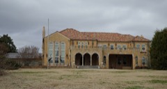 W. E. Grisso Mansionlisted 1975
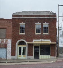 Home Stake Oil and Gas Company Buildinglisted 1986
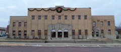 Seminole Municipal Buildinglisted 2015
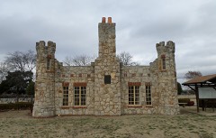 Strother Memorial Chapellisted 2003
- Mekasukey Academylisted 1974
- Seminole High Schoollisted 2022
- Sinclair Loading Racklisted 1985
- Van-Sanford Apartmentslisted 2025
Population over time
2 figuresSeminole fell from 7,488 to 7,146 between 2010 and 2020. These are the recorded population figures Wikidata holds for this place, reached through the Geographic Names Information System number this page is keyed on rather than by name, so they belong to this place and not to another of the same name. Most are census counts, but not all are: an early figure may be a founding or settlement estimate, and an estimate published within five years of a census is left out. The change column is computed, and is left blank where more than 20 years separate a figure from the one before it, because a gap that long is not a change between two counts.
| Year | People | Change |
|---|---|---|
| 2010 | 7,488 | |
| 2020 | 7,146 | -342 (-5%) |
Topographic sheets covering this place
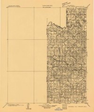
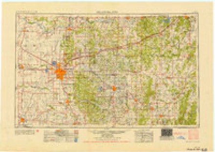
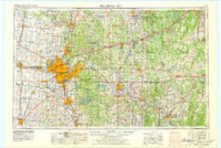
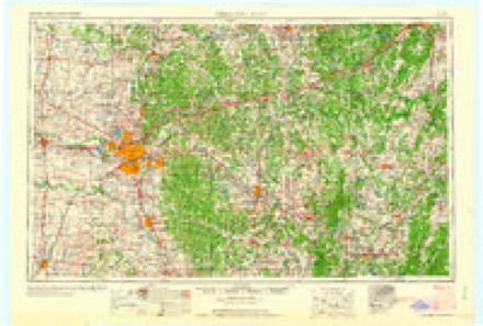
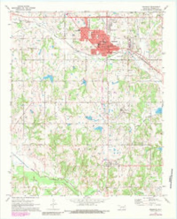
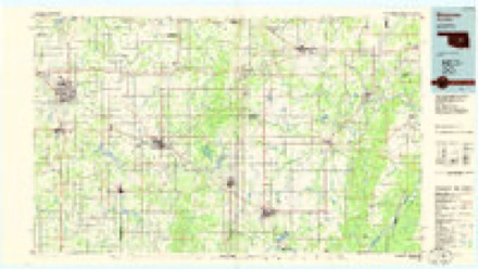
6 surveys from 11 printed sheetsMatched by testing this settlement's coordinate against the published boundary of every sheet in the United States Geological Survey's historical collection. Each opens the scanned sheet at the Survey.
- 1896 USGS Seminole and Prague quadrangle1:125000
- 1954 USGS Oklahoma City quadrangle1:250000
- 1957 USGS Oklahoma City quadrangle1:250000, 3 printings
- 1963 USGS Oklahoma City quadrangle1:250000
- 1972 USGS Seminole quadrangle1:24000, 3 printings
- 1985 USGS Shawnee quadrangle1:100000, 2 printings
Photographs
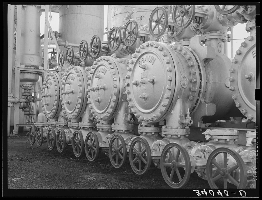
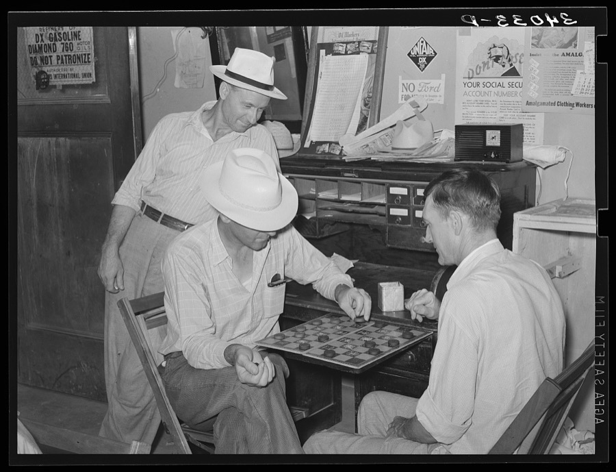
8 of 40 photographs shown, 1939Taken for the Office of War Information and the Farm Security Administration, who photographed the country between 1935 and 1944. Works of United States government photographers, with no known restriction on use. Each opens its catalogue record.

Lee, Russell, 1939. Library of Congress
Lee, Russell, 1939. Library of Congress
Lee, Russell, 1939. Library of Congress

Lee, Russell, 1939. Library of Congress
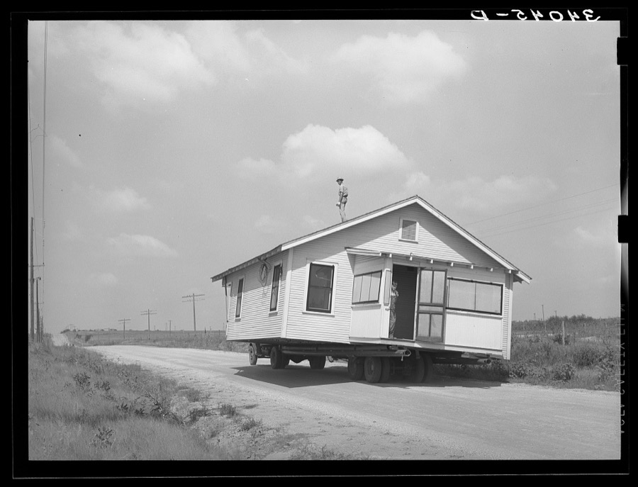
Lee, Russell, 1939. Library of Congress
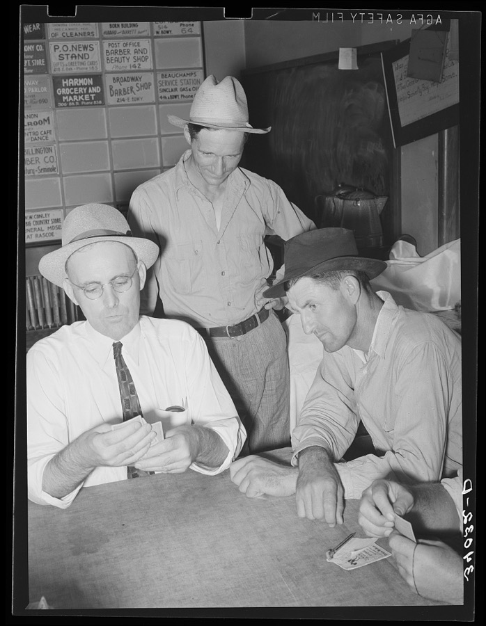
Lee, Russell, 1939. Library of Congress
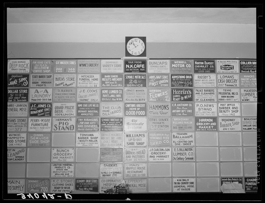
Lee, Russell, 1939. Library of Congress
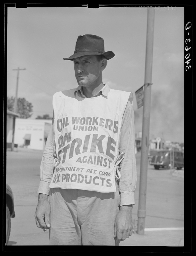
Lee, Russell, 1939. Library of Congress
Every photograph of Seminole County
Fires near this place
111 since 2003Regional context, not property-specific evidence. The federal wildfire occurrence database lists 111 fires within 5 miles of Seminole between 2003 and 2020, burning about 6,905 acres in total. 10 started naturally. 24 were recorded as arson. Distance is straight-line from the map coordinates, so a fire counted here may appear on a neighbouring settlement's page as well.
| Reported cause | Fires |
|---|---|
| Debris and open burning | 35 |
| Arson/incendiarism | 24 |
| Equipment and vehicle use | 17 |
| Missing data/not specified/undetermined | 14 |
| Natural | 10 |
| Power generation/transmission/distribution | 8 |
| Misuse of fire by a minor | 2 |
| Fireworks | 1 |
The most recent of them, most recent first, with the day each was reported and the service that recorded it.
| Date | Cause | Size | Reported by | Name on the report |
|---|---|---|---|---|
| 4 September 2011 | Power generation/transmission/distribution | 4.0 acres | Wewoka Agency | TRANSFORMER |
| 3 September 2011 | Missing data/not specified/undetermined | 19 acres | Wewoka Agency | BROTHER |
| 27 September 2011 | Debris and open burning | 3.0 acres | Wewoka Agency | PEPSI |
| 16 September 2017 | Power generation/transmission/distribution | 4.0 acres | Wewoka Agency | BAYLOR |
| 16 September 2017 | Fireworks | 1.0 acres | Wewoka Agency | MEKUSUKEY |
| 15 September 2017 | Arson/incendiarism | 3.0 acres | Wewoka Agency | HARJOCHEE |
| 12 September 2011 | Equipment and vehicle use | 3.8 acres | Wewoka Agency | NOONER |
| 11 September 2011 | Power generation/transmission/distribution | under an acre | Wewoka Agency | HALF BRIDGE |
Settlements close enough to share some of these fires:
Mines and quarries near this place
5 within 5 milesRegional context, not property-specific evidence. The federal mineral resources record lists 5 workings within 5 miles of Seminole: 5 past producers. None of them still produces. What was taken out: Sand and Gravel, Construction. Distance is straight-line from the map coordinates, so a quarry counted here may appear on a neighbouring settlement's page as well.
| Where | Site | Commodity | Status | Recorded |
|---|---|---|---|---|
| Unknown Sand and Gravel Pit | Sand and Gravel, Construction | Past Producer | ||
| Unknown Sand and Gravel Pit | Sand and Gravel, Construction | Past Producer | ||
| Unknown Sand and Gravel Pit | Sand and Gravel, Construction | Past Producer | ||
| Unknown Sand and Gravel Pit | Sand and Gravel, Construction | Past Producer | ||
| Unknown Sand and Gravel Pit | Sand and Gravel, Construction | Past Producer |
Storms near this place
60 of 93 shownRegional context, not property-specific evidence. The National Weather Service names Seminole in 93 storm reports between 1993 and 2025: 48 hail, 24 thunderstorm wind, 10 flash flood, 7 tornado. The reports record 1 death and 26 injuries. Each account below is quoted exactly as the forecast office filed it, from the NOAA Storm Events Database, and each date opens the federal record of that event.
| When | Event | Place named | Harm | What the report says |
|---|---|---|---|---|
| August 2007 | Flash Flood | Seminole | 1 killed, $50,000 | Three to four feet of water accumulated at the Seminole Ford/Mercury car dealership. Numerous city and county roads were closed due to the high water. A 67-year old woman drowned as her car was washed off the roadway into Magnolia Creek. |
| May 2010 | Tornado (EF3) | Seminole | 26 hurt | This tornado continued from Pottawatomie county, moved through Seminole county and continued into Okfuskee County just east of Cromwell. This tornado lasted at least 30 miles, with significant damage along its entire path. At times, the tornado damage path widened up to a mile. The most significant damage was located north and northeast of Earlsboro near the Pottawatomie/Seminole county border. Here a two story home was destroyed except for a few interior walls. A pick-up truck was also lofted approximately a quarter of a mile, and a semi-trailer was lofted or rolled approximately 200 yards. Farther east along its path, seven high tension towers were downed. Several hangers were destroyed at the Seminole Municipal Airport north of Seminole, and one small aircraft was flipped onto one of the destroyed hangers. Two mobile homes were destroyed near the airport and one resident suffered a broken arm. Significant tree damage was reported along the entire track of the tornado, some of them debarked and stripped off all their branches. See the documentation by the NWS Tulsa office for information of this tornado in Okfuskee County. This tornado is labeled #J4. |
| May 2022 | Tornado (EF2) | Seminole | $300,000 | A long track tornado began between Maud and Seminole, before making a north to northeast path of damage across Seminole County. The most extensive damage was to buildings just east of downtown Seminole, as well as near the Seminole Academy. Buildings had the roofs removed from the tornado, and some buildings had exterior walls damaged. As the tornado moved to the northeast, it produced sporadic damage to mainly rural areas northeast of Seminole. |
| May 1999 | Thunderstorm Wind | Seminole | $200,000 | no account filed |
| May 2022 | Tornado (EF1) | Seminole | $150,000 | The first damage took the form of broken branches about 5.5 miles west southwest of Seminole and less than a mile east of the Pottawatomie County line. The most intense damage occurred along EW1250 road east of NS3510 Rd where numerous oak trees were snapped and uprooted with large limbs blown downwind. A house in the vicinity lost several courses of shingles which appeared to be higher than the typical quality of shingles. An outbuilding near the residence was leveled and debris blown downwind. Farther east on NS3550 Rd, a small stretch of trees exhibited the most intense damage with roughly 50% of them uprooted or snapped. Finally, the last tree damage occurred one mile southeast of downtown Seminole. |
| May 2012 | Thunderstorm Wind | Seminole | $150,000 | A metal canopy was flipped, causing damage to the main airplane hangar at Seminole airport including minor damage to several planes. Several small trees were blown down along with one power pole. Two portable buildings were also destroyed. Monetary damages are estimated. |
| October 2017 | Tornado (EF1) | Seminole | $50,000 | This tornado developed on the northwest side of Seminole near the U.S. Highway 270 and Reid Street, and move southeast through town dissipating near U.S. Highway 270 and 7th Street. Most of the damage was tree damage with many trees snapped or uprooted, especially in the Maple Grove Cemetery on the northwest side of town. However, a few homes and other buildings also received roof damage including one home where much of the roof was pulled off. One family was trapped in their storm cellar when a tree fell on the cellar door. Near downtown, a church received roof damage and portions of the roof were impaled in the siding of nearby businesses. |
| June 1997 | Thunderstorm Wind | Seminole | $50,000 | Severe thunderstorm winds up to 70 mph caused widespread damage in Seminole. The greatest damage occurred at a motel where the roof was torn off and debris damaged dozens of cars. Signs, trees, and limbs were blown down throughout town. |
| May 2007 | Tornado (EF0) | Seminole | $40,000 | Damage from a brief tornado occurred near State Highway 9 to the east of Seminole. A large tree fell onto a trailer and a car and pushed the trailer off of its foundation. To the east of this mobile home, the sheet metal roof of a garage was flipped north against another mobile home and the outer walls of the garage collapsed. Monetary damages were estimated. |
| March 2002 | Thunderstorm Wind | Seminole | $35,000 | A front porch and two garages were destroyed by high winds. |
| August 1998 | Lightning | Seminole | $25,000 | no account filed |
| May 2000 | Thunderstorm Wind | Seminole | $22,000 | Two mobile homes were moved slightly from their foundation. Skirting was also blown off of 5 other mobile homes, and windows were blown out of a vehicle. Damage was also sustained to a light at a football field and to the batting cage at a softball field, and an antenna and tower were damaged at the fire department. |
| July 2003 | Lightning | Seminole | $15,000 | Lightning struck a small steeple on top of the BancFirst branch building removing the center of the roof and causing a fire. The lightning hit near the intersection of Highway 99 and Reed Street. |
| May 2023 | Flash Flood | Seminole | $10,000 | Numerous streets flooded due to heavy rainfall. |
| May 2023 | Flood | Seminole | $10,000 | Strother Street, east of Main Street, closed due to continued flooding/water across the roadway. |
| June 2024 | Thunderstorm Wind | Seminole | $5,000 | Powerlines down in the community of Seminole. Time is radar estimated. |
| July 2005 | Thunderstorm Wind | Seminole | $5,000 | Trees and tree limbs were downed. A few 4th of July fireworks stands were also downed. |
| June 2003 | Thunderstorm Wind | Seminole | $5,000 | Several trees were downed. |
| May 1999 | Thunderstorm Wind | Seminole | $5,000 | no account filed |
| June 1996 | Thunderstorm Wind | Seminole | $5,000 | no account filed |
| August 1998 | Lightning | Seminole | $4,000 | no account filed |
| July 2000 | Thunderstorm Wind | Seminole | $2,000 | Numerous trees were downed, and a roof overhang sustained damage. |
| May 2020 | Thunderstorm Wind | Seminole | $1,000 | Downed power lines in town. Time estimate from radar. |
| July 2003 | Thunderstorm Wind | Seminole | $1,000 | Several six inch diameter tree limbs were downed. |
| November 1998 | Thunderstorm Wind | Seminole | $1,000 | no account filed |
| June 2003 | Thunderstorm Wind | Seminole | $500 | Shingles were blown off a roof. Several tree limbs were also downed. |
| July 2000 | Thunderstorm Wind | Seminole | $500 | Power lines were downed. |
| March 1998 | Thunderstorm Wind | Seminole | $100 | Strong winds downed numerous branches up to 6 inches in diameter. |
| May 1997 | Thunderstorm Wind | Seminole | $10 | Numerous large tree limbs were downed in Seminole. (time estimated) |
| May 2025 | Hail | Seminole | - | An image showing a ruler measurement was shared. The location is approximate. |
| June 2024 | Flash Flood | Seminole | - | Portions of U.S. Highway 377, between Oklahoma Highway 9 and Strother Avenue, closed due to flooding. Relayed by emergency management. Event time is approximate. |
| May 2022 | Tornado (EF0) | Seminole | - | The NWS storm survey observed tree damage associated with a second tornado path parallel to the primary Seminole tornado path to the northeast of Seminole. |
| May 2022 | Tornado (EF0) | Seminole | - | The second Earlsboro tornado moved into Seminole County near SH-9/US-270 and moved east and then east-northeast. The tornado produced light damage in Seminole County before dissipating near SH-3E just northwest of Seminole. |
| May 2022 | Thunderstorm Wind | Seminole | - | While the second Earlsboro tornado was passing to the north, winds associated with the rear-flank downdraft produced damage to an outbuilding and a utility pole along SH-9/US-270. |
| October 2019 | Hail | Seminole | - | Time estimated from radar...Size estimated from photo on Twitter. |
| May 2017 | Flash Flood | Seminole | - | Seminole PD had closed Milt Phillips. |
| May 2017 | Flash Flood | Seminole | - | Street flooding was in the city of Seminole and there were reports of roads flooded in north end of Seminole county. US 377 was closed highway 9 to Strother street. |
| March 2015 | Hail | Seminole | - | No damage was reported. |
| March 2015 | Hail | Seminole | - | No damage was reported. |
| May 2015 | Flash Flood | Seminole | - | Numerous roads flooded and impassable. No damage reported. |
| October 2014 | Hail | Seminole | - | No damage information was available. |
| October 2014 | Hail | Seminole | - | No damage was reported. |
| March 2013 | Hail | Seminole | - | The hail was measured at a private residence on Brandon Dr. |
| June 2011 | Thunderstorm Wind | Seminole | - | No damage occurred with the wind gust. |
| May 2011 | Hail | Seminole | - | The hail was reported a half of a mile west, and a quarter mile south of Highways 9 and 99. |
| April 2010 | Hail | Seminole | - | A wind gust of 50 mph accompanied the hail. |
| June 2007 | Flash Flood | Seminole | - | Several roads were closed due to high water. John's Park was completely flooded. |
| April 2004 | Hail | Seminole | - | Hail was observed on Highway 59, three miles west of Highway 99. |
| April 2004 | Hail | Seminole | - | Hail was reported covering the ground. |
| April 2004 | Hail | Seminole | - | Hail was observed at Highway 99. |
| April 1998 | Flash Flood | Seminole | - | Several streets in northeast Seminole were barricaded due to high water. Several cars were stalled in the high water around town. |
| June 1997 | Hail | Seminole | - | Spotters reported 4-inch hail just north of Highway 9 on Highway 56 east of Seminole. |
| June 1995 | Hail | Seminole | - | Early morning severe thunderstorms dropped large hail in central Oklahoma. Hail as large as tennis balls was reported nine miles northwest of Wanette in Pottawatomie County and in Lexington in Cleveland County. |
| July 1994 | Hail | Seminole | - | Thunderstorms in central Oklahoma during the late afternoon and early evening hours on the 24th produced hail up to golf ball-size and damaging lightning. Lightning started a fire which destroyed a barn 5.5 miles north-northwest of Seminole. Lightning started a small fire in a mobile home near Seminole. |
| July 1994 | Hail | Seminole | - | Thunderstorms in central Oklahoma during the late afternoon and early evening hours on the 24th produced hail up to golf ball-size and damaging lightning. Lightning started a fire which destroyed a barn 5.5 miles north-northwest of Seminole. Lightning started a small fire in a mobile home near Seminole. |
| October 1994 | Hail | Seminole | - | Lightning from thunderstorms in southwest Oklahoma struck a tree at Liberty Lake in Lawton, injuring one woman. A power line in Cleveland County was also struck, knocking out power in Norman for 45 minutes. Hail as large as golf balls was reported in Seminole County. |
| July 1994 | Hail | Seminole | - | Thunderstorms in central Oklahoma during the late afternoon and early evening hours on the 24th produced hail up to golf ball-size and damaging lightning. Lightning started a fire which destroyed a barn 5.5 miles north-northwest of Seminole. Lightning started a small fire in a mobile home near Seminole. |
| May 2022 | Hail | Seminole | - | no account filed |
| October 2019 | Hail | Seminole | - | no account filed |
| August 2017 | Hail | Seminole | - | no account filed |
Nearest settlements
The eight closest, with where each one stands in the county. Distances are straight-line, computed from the Geographic Names Information System coordinates.
Elsewhere
Matched on this settlement's Geographic Names Information System number rather than its name, so it cannot be a different place of the same name in another state.
| Wikipedia article on Seminole | An encyclopaedic summary. Its text is share-alike, so it is linked here rather than copied. |
| Wikidata item Q1007917 | The structured record the population and elevation above come from. Public domain (CC0). |
Provenance
This settlement is recorded in the Geographic Names Information System as feature 1097908. The sheet list is computed by point-in-boundary test against the United States Geological Survey's historical topographic inventory. Both are works of the United States government and carry no copyright under 17 U.S.C. 105.
Wildfire. Short, Karen C. 2022. Spatial wildfire occurrence data for the United States, 1992-2020 [FPA_FOD_20221014]. 6th Edition. Fort Collins, CO: Forest Service Research Data Archive. https://doi.org/10.2737/RDS-2013-0009.6 Collected with United States Government funding and usable without additional permissions or fees.
Mines and quarries. USGS Mineral Resources Data System (MRDS) https://mrdata.usgs.gov/mrds/ A work of the United States government, no copyright under 17 U.S.C. 105.
Storms. NOAA National Centers for Environmental Information, Storm Events Database https://www.ncei.noaa.gov/stormevents/ A work of the United States government, no copyright under 17 U.S.C. 105. Narratives are quoted verbatim from the National Weather Service report and are not edited or summarised.