 Block
From the record
19 National Register listings published here.
Sources: the National Register database, National Park Service
50 topographic sheets and 14 fire insurance atlases across 3 places.
19 National Register listings published here.
Sources: the National Register database, National Park Service
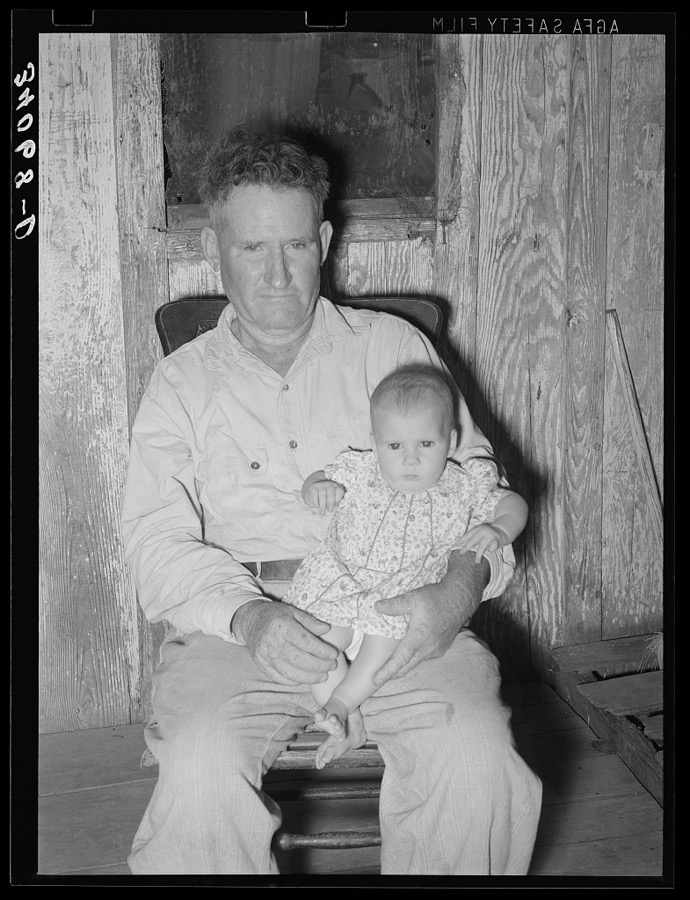
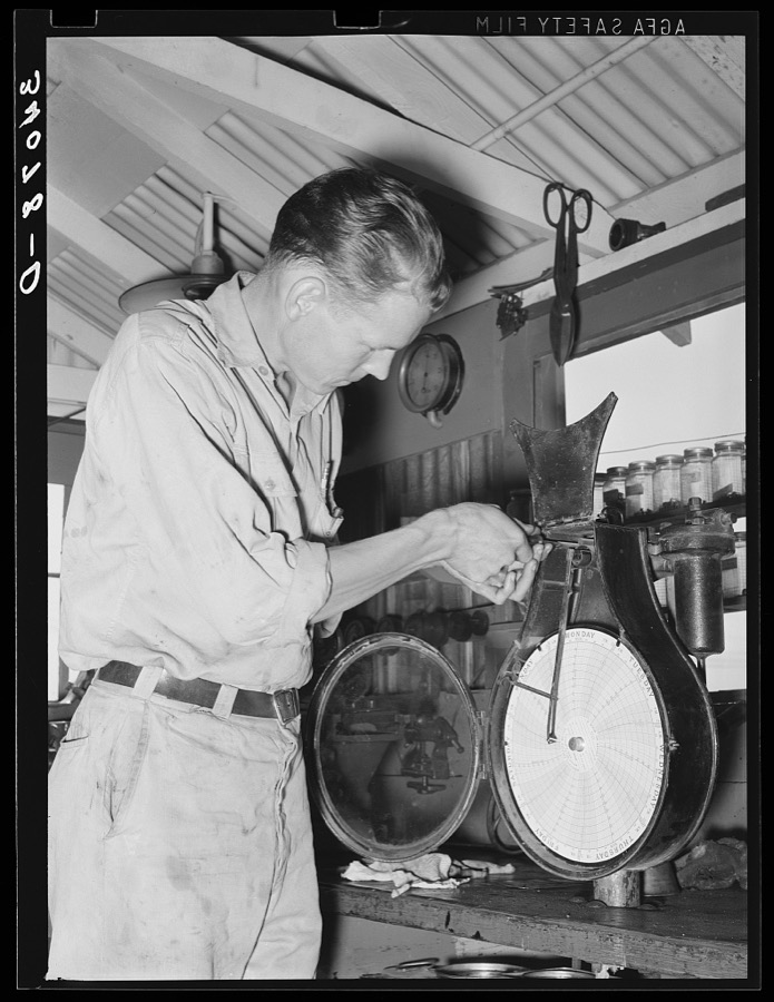
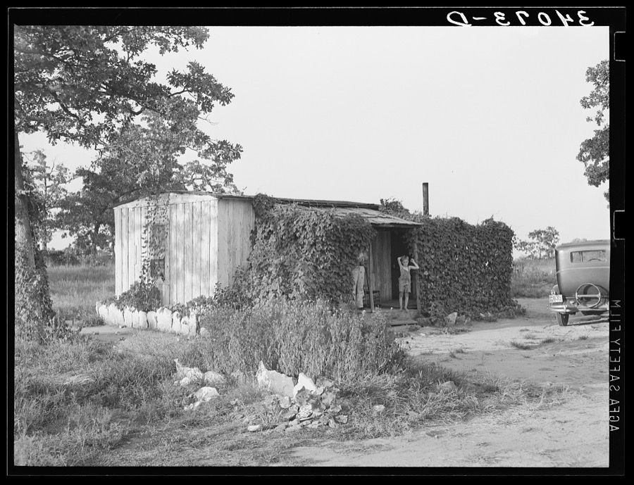
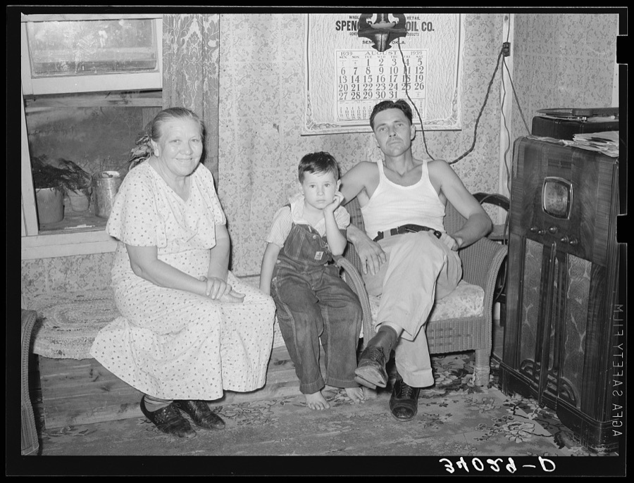
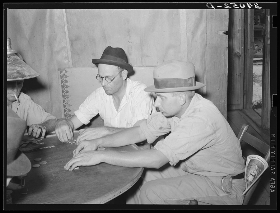
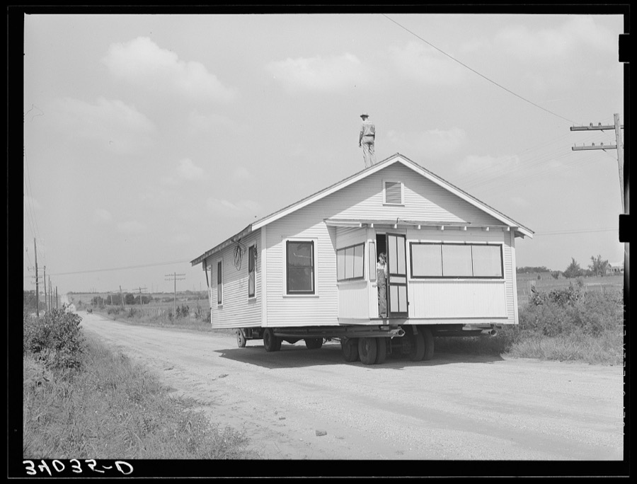
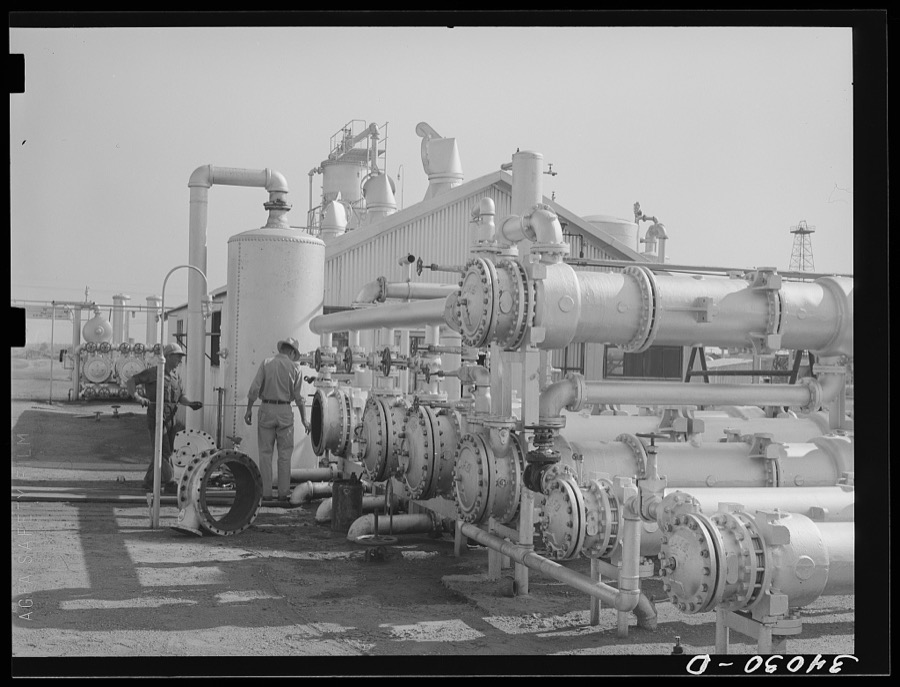
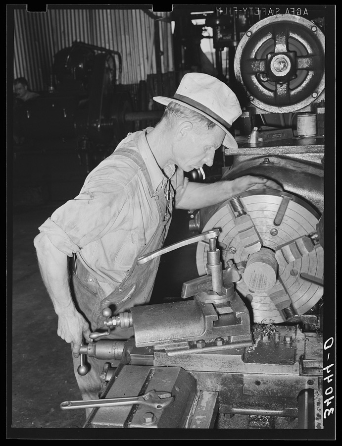
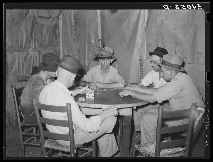
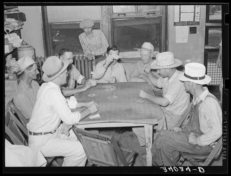
Taken for the Office of War Information and the Farm Security Administration, who photographed the country between 1935 and 1944. Works of United States government photographers, with no known restriction on use. Each opens its catalogue record.

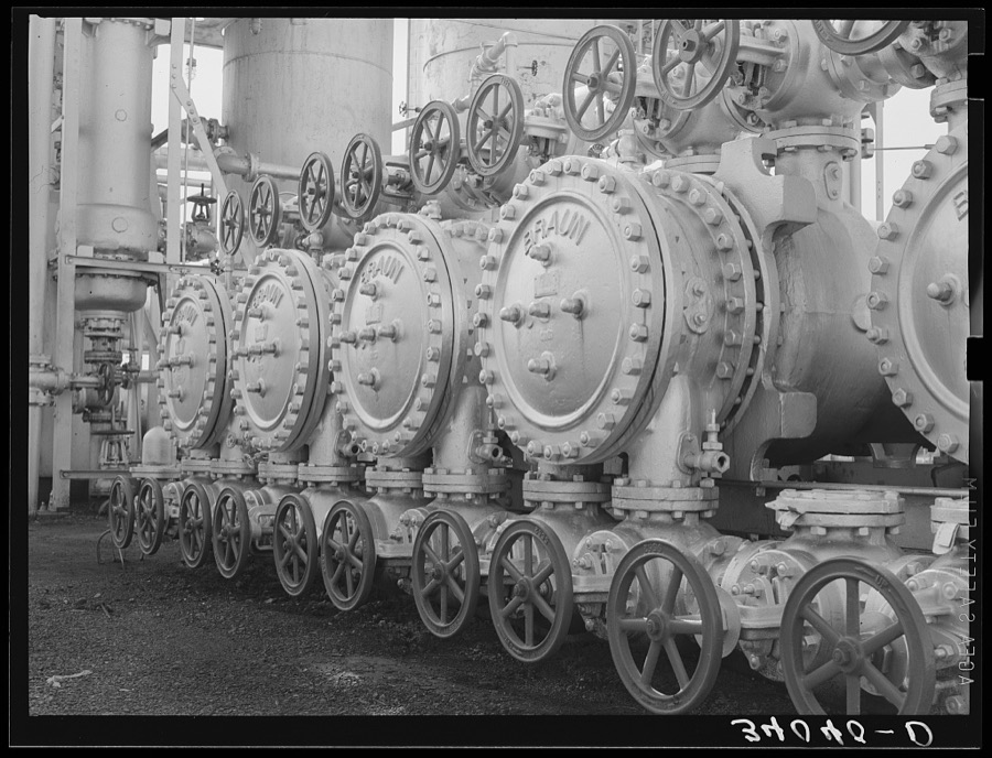
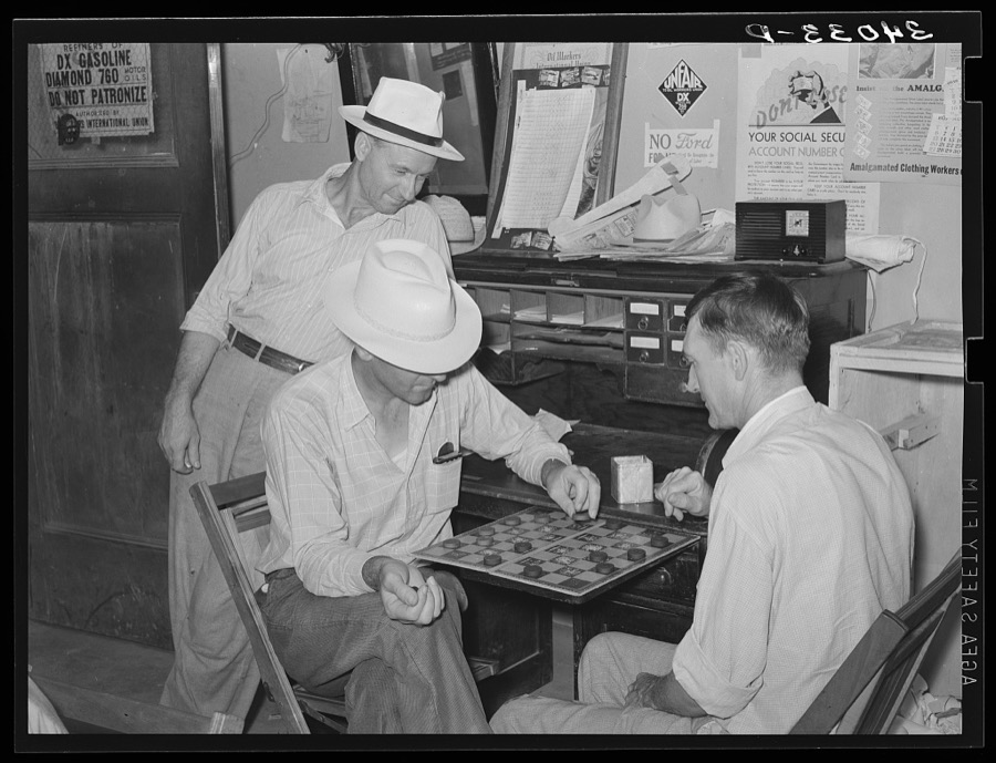
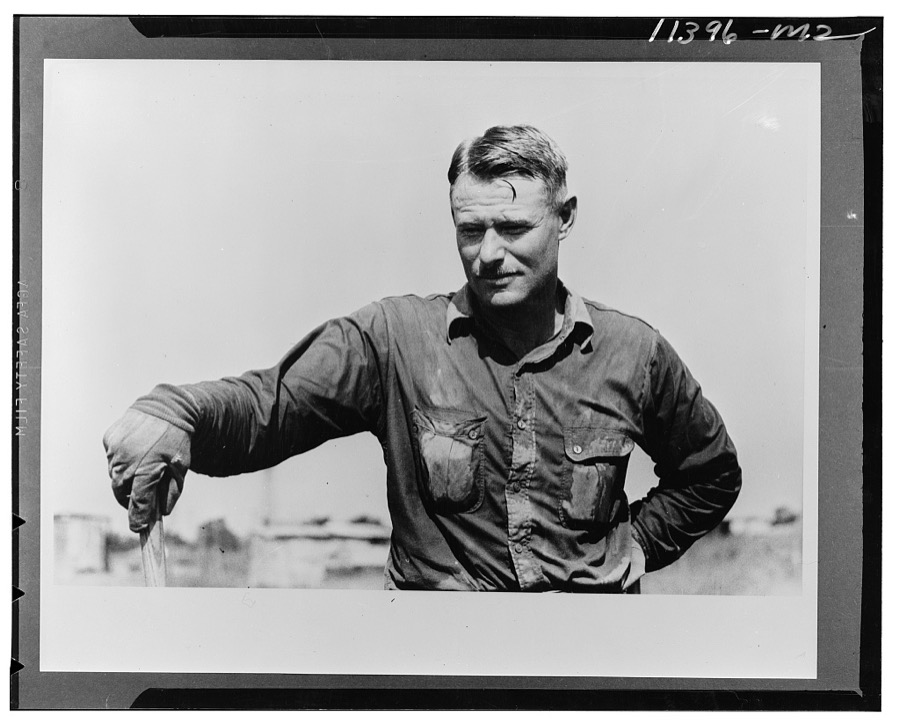
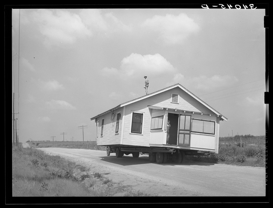
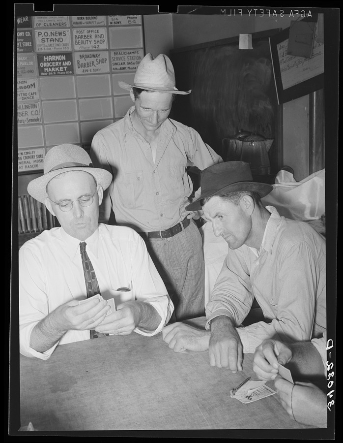
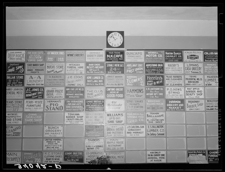
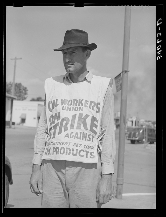
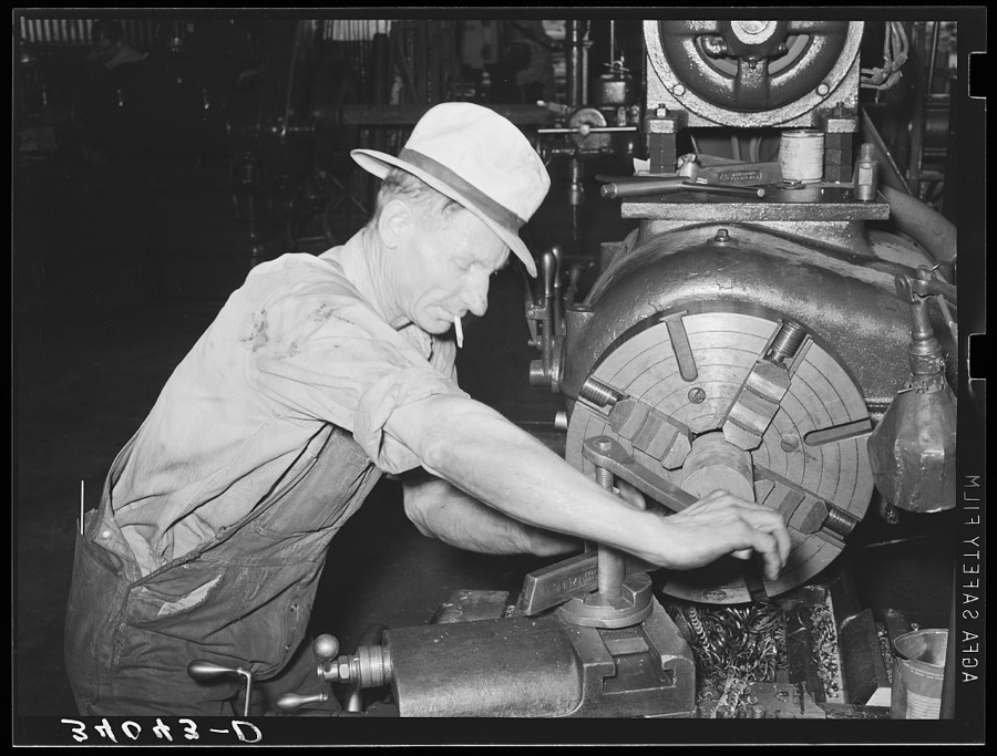


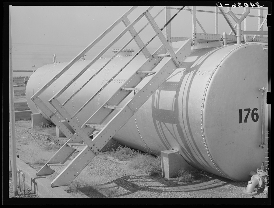
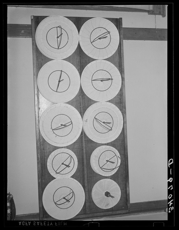

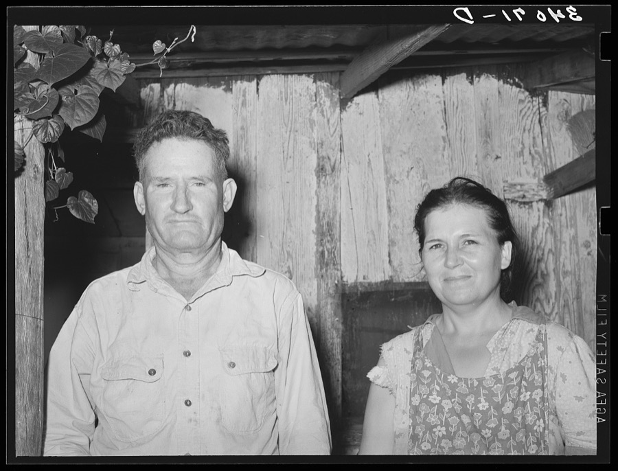
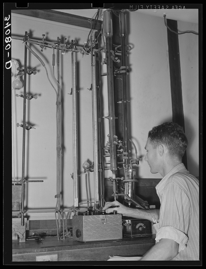
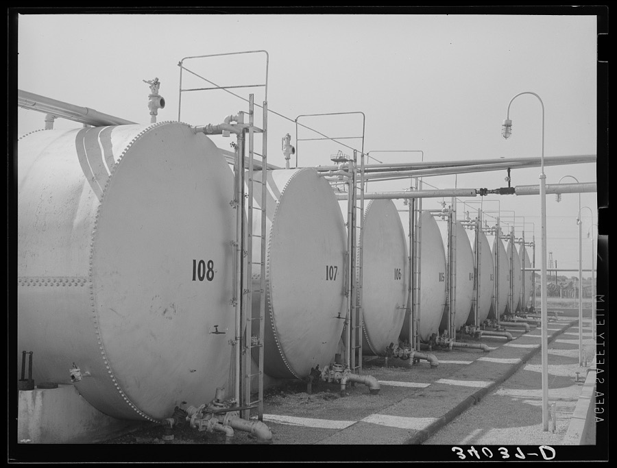
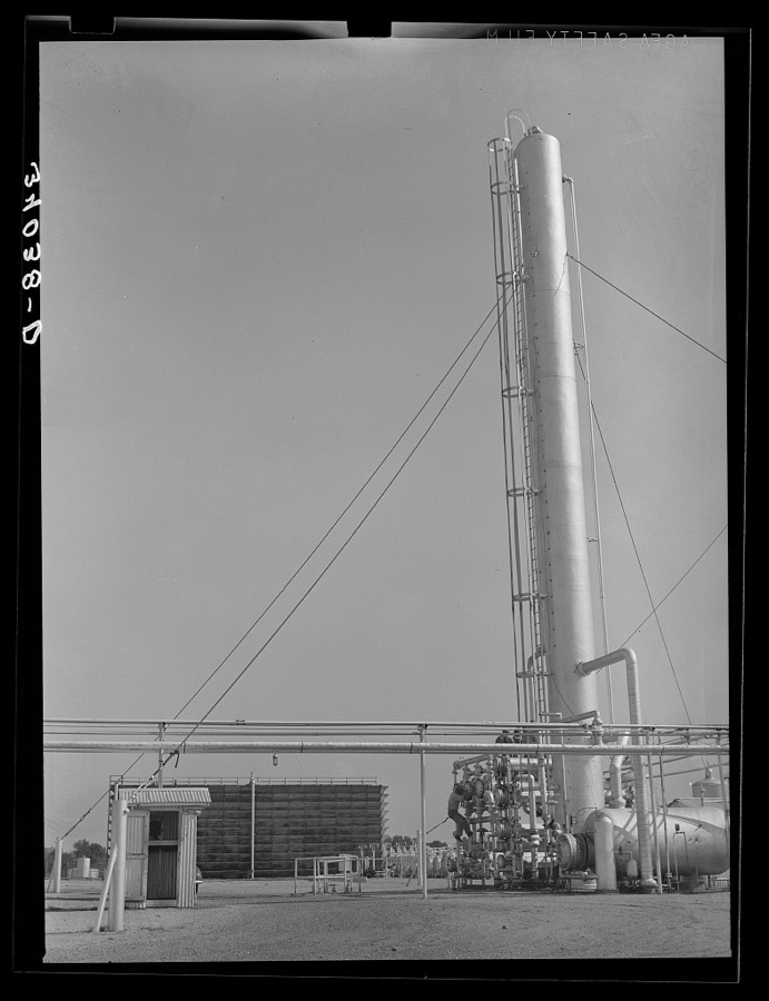

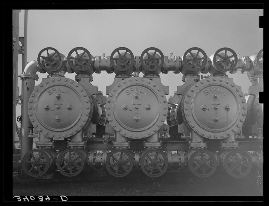
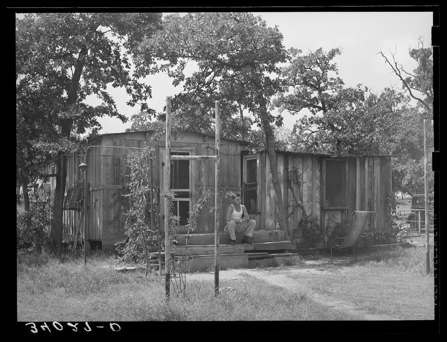
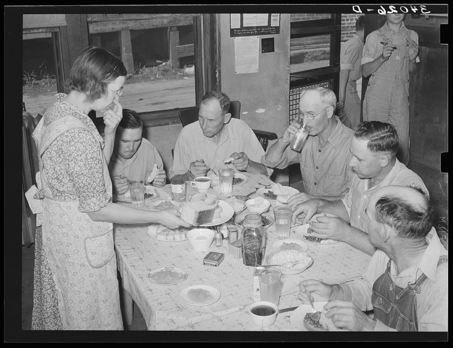
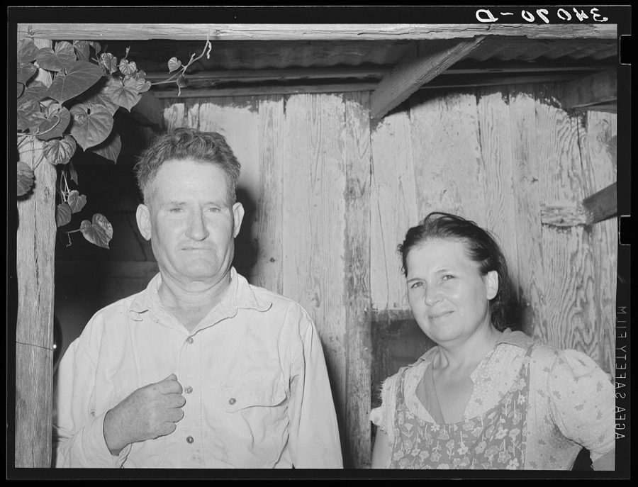
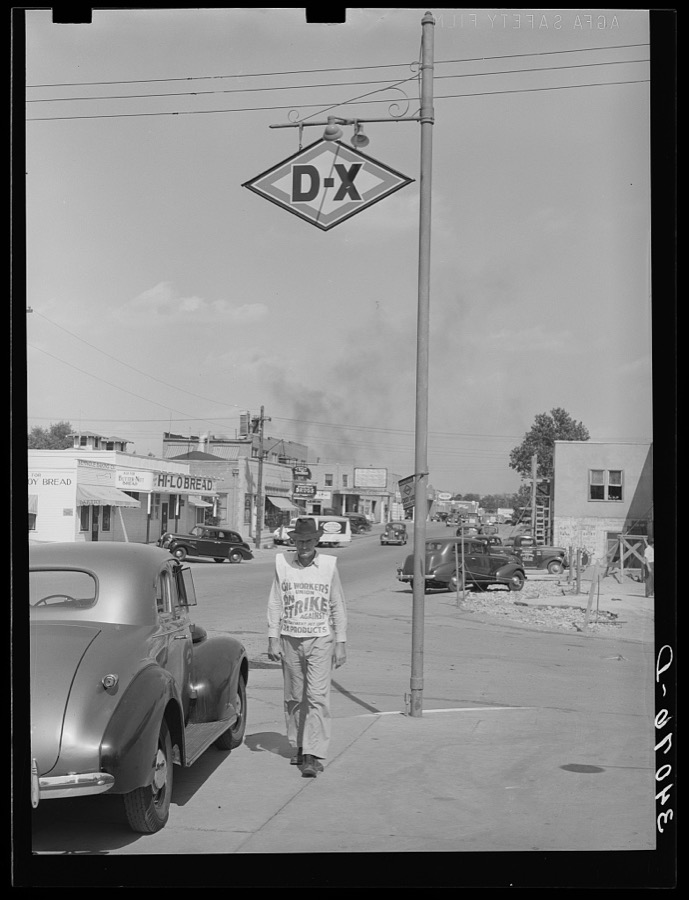
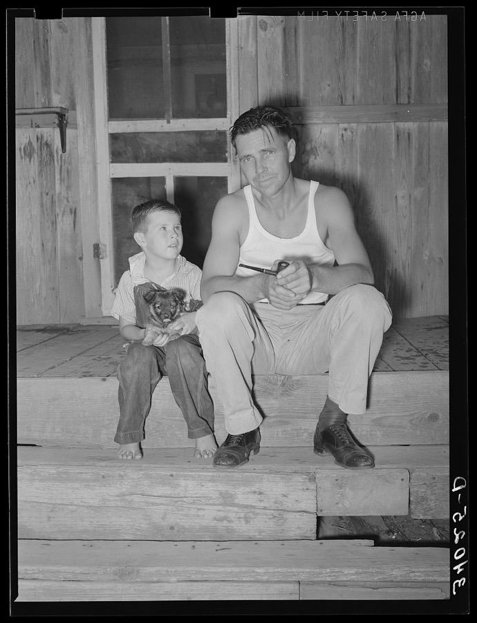

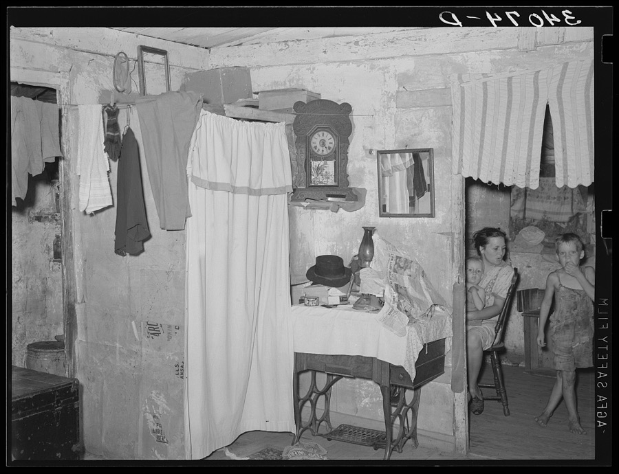
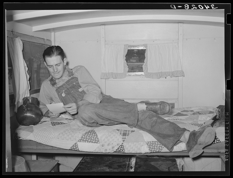
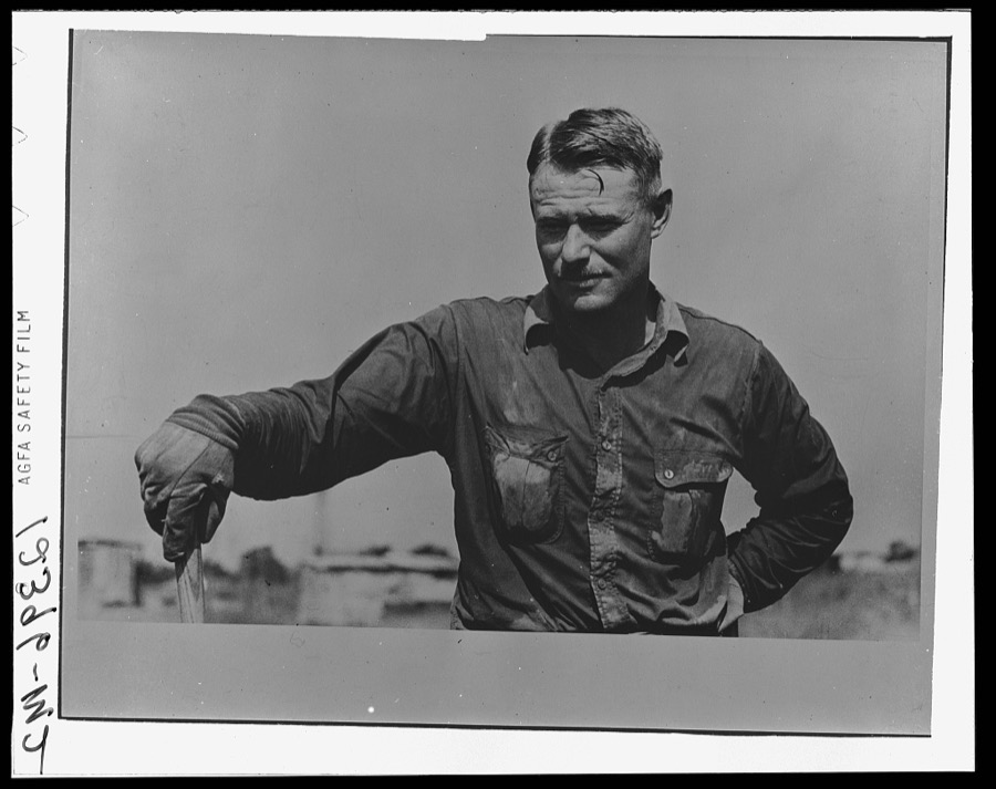
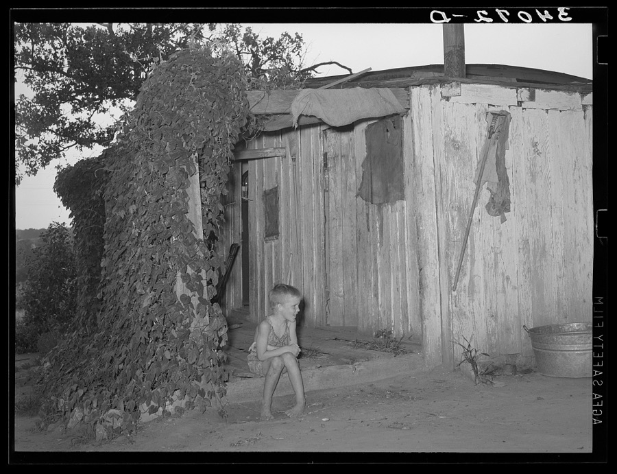
Every property in this county listed on the National Register of Historic Places, with the year it was listed and the federal nomination document.
| Photograph | Property | Type | Listed | Reference |
|---|---|---|---|---|
| Alice Brown House | building | 1982 | 82003701 | |
 | Jackson Brown House | building | 1980 | 80003299 |
| Silas L. Brown House | building | 1985 | 85001697 | |
 | W. E. Grisso Mansion | building | 1975 | 75001573 |
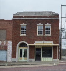 | Home Stake Oil and Gas Company Building | building | 1986 | 86001094 |
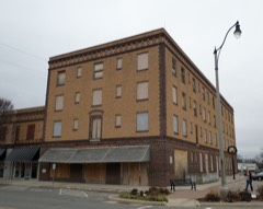 | Hotel Aldridge | building | 1986 | 86001083 |
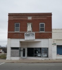 | J. Coody Johnson Building | building | 1985 | 85001744 |
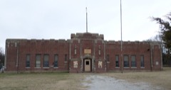 | Konawa Armory | building | 1994 | 94000483 |
| Mekasukey Academy | site | 1974 | 74001668 | |
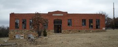 | Rosenwald Hall | building | 1984 | 84003427 |
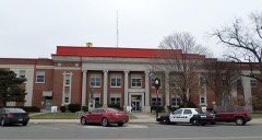 | Seminole County Courthouse | building | 1984 | 84003429 |
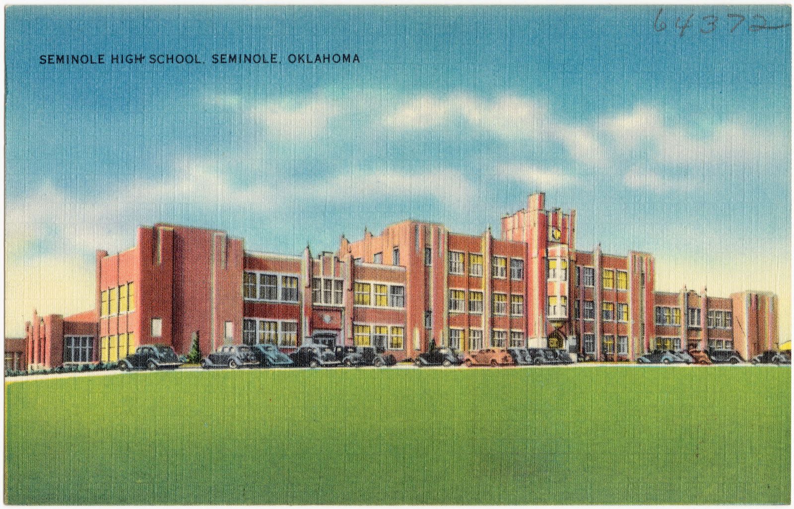
| Seminole High School | building | 2022 | 100007546 | |
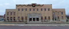 | Seminole Municipal Building | building | 2015 | 15000580 |
| Seminole Whipping Tree | site | 1981 | 81000468 | |
| Sinclair Loading Rack | structure | 1985 | 85001698 | |
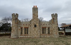 | Strother Memorial Chapel | building | 2003 | 03000880 |
| Van-Sanford Apartments | building | 2025 | 100011957 | |
| Wewoka Switch and Side Tracks | structure | 1985 | 85002475 | |
| Wewoka Switch and Side Tracks | structure | 1985 | 85002475 |
Selected from the Digital Public Library of America's 2 image records catalogued for this county. Every one shown here carries a public-domain status or a licence that permits reuse on a site that carries advertising; non-commercial, share-alike and restricted images are excluded. The selection is spread across the county's towns (at most eight per town), so no single institution's bulk upload crowds out the rest. Each opens the holding library's record, and the complete set at the Digital Public Library of America is one click away.

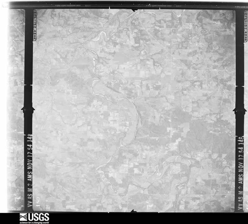
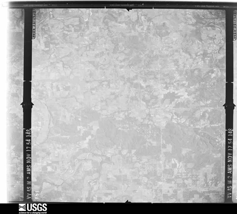
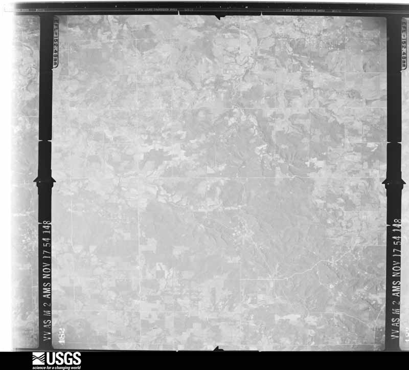
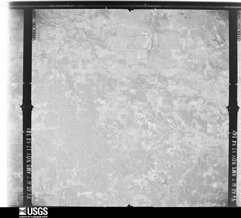
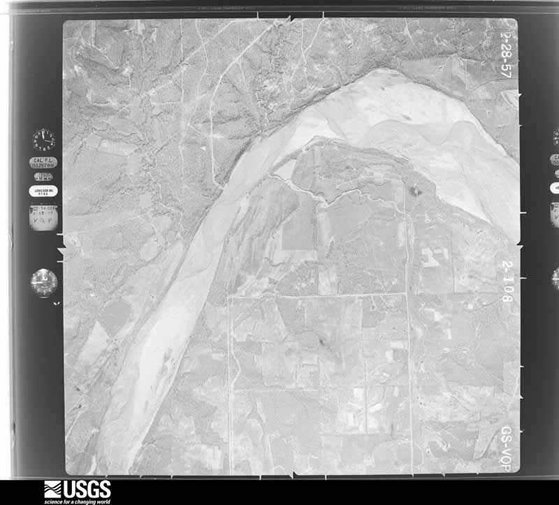
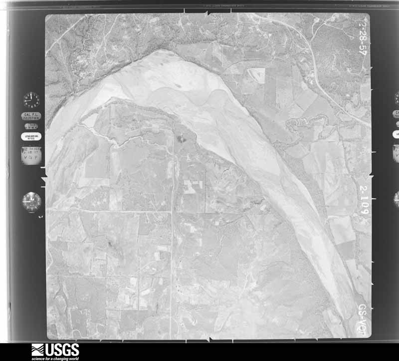
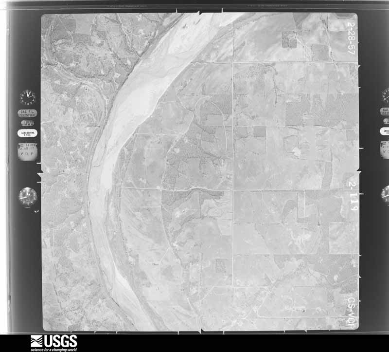
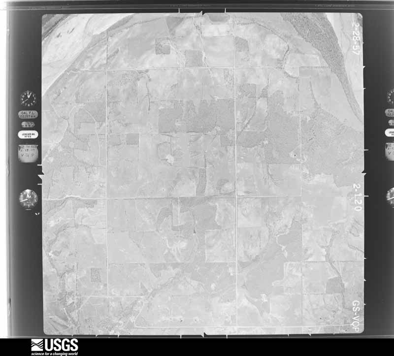
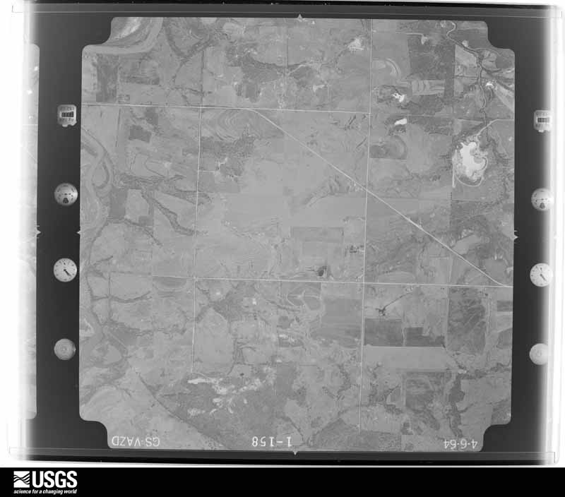
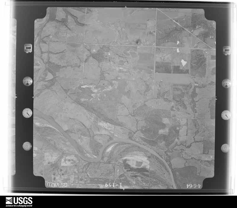
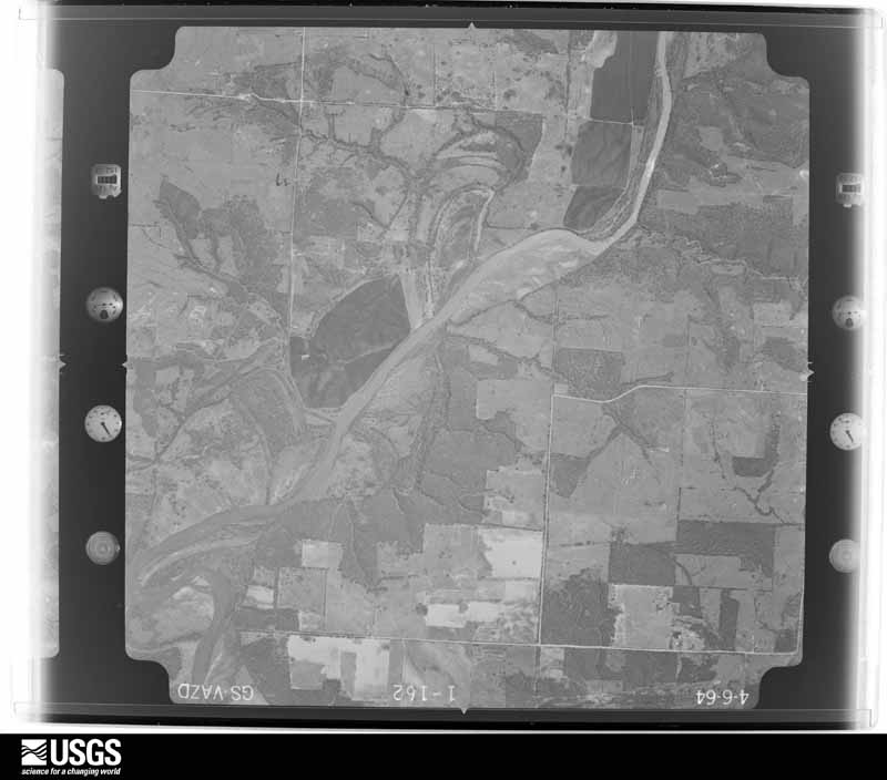
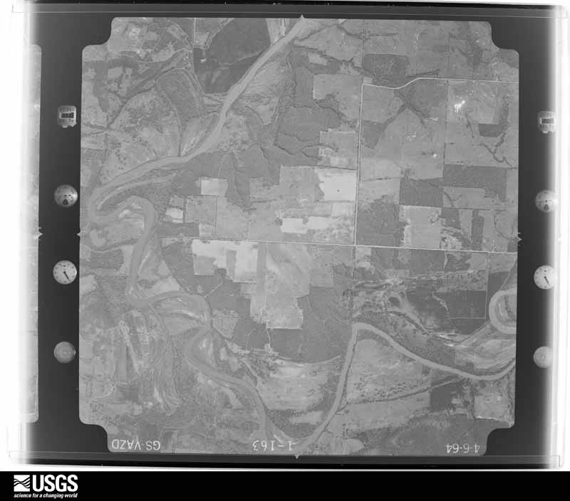
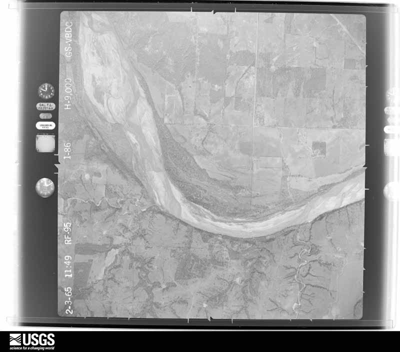
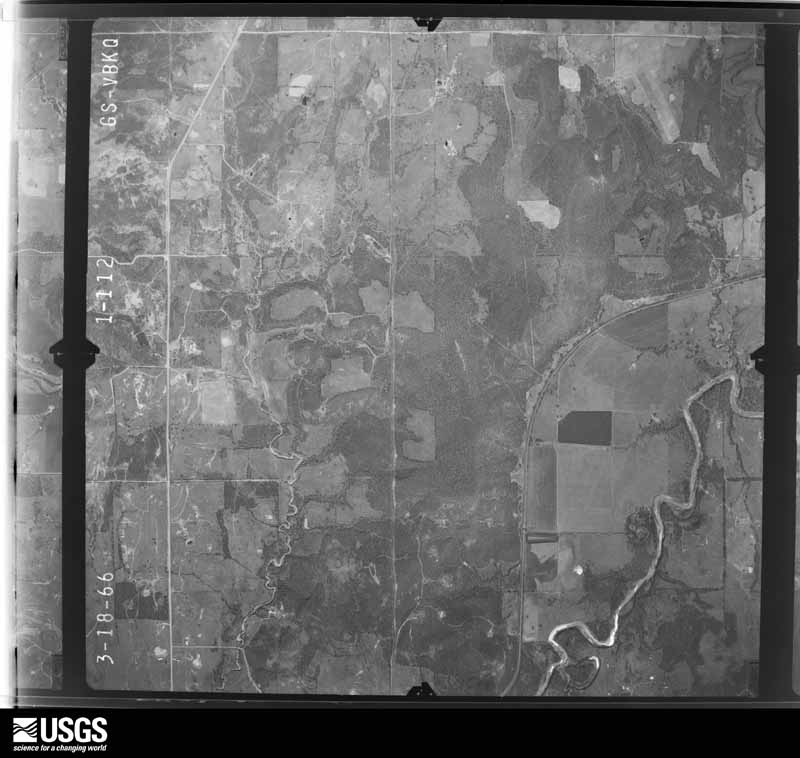
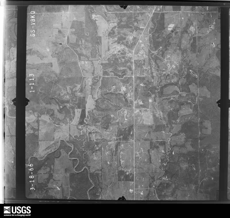
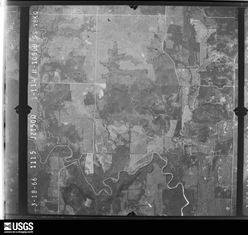
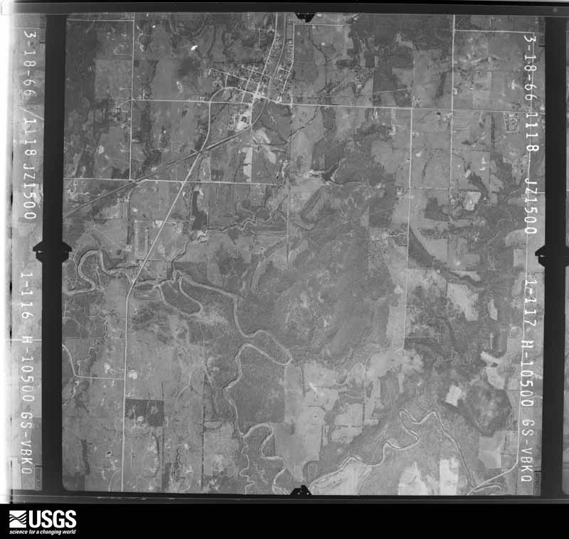
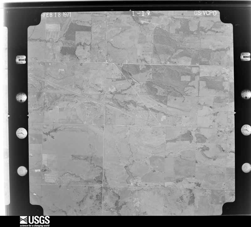
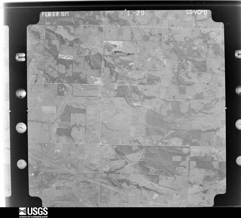
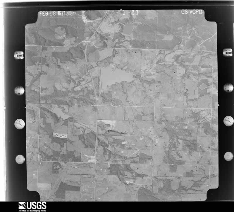
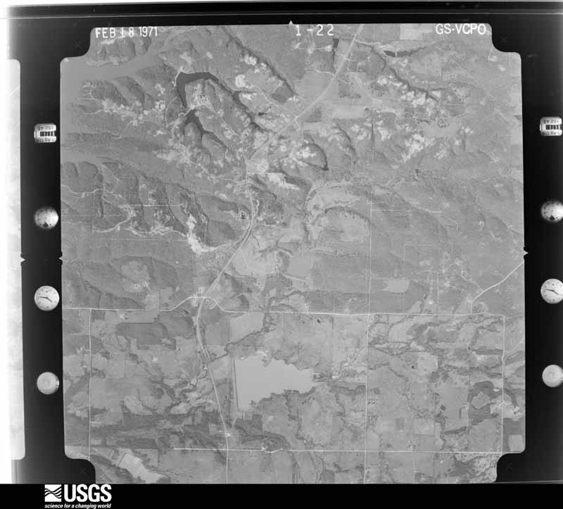
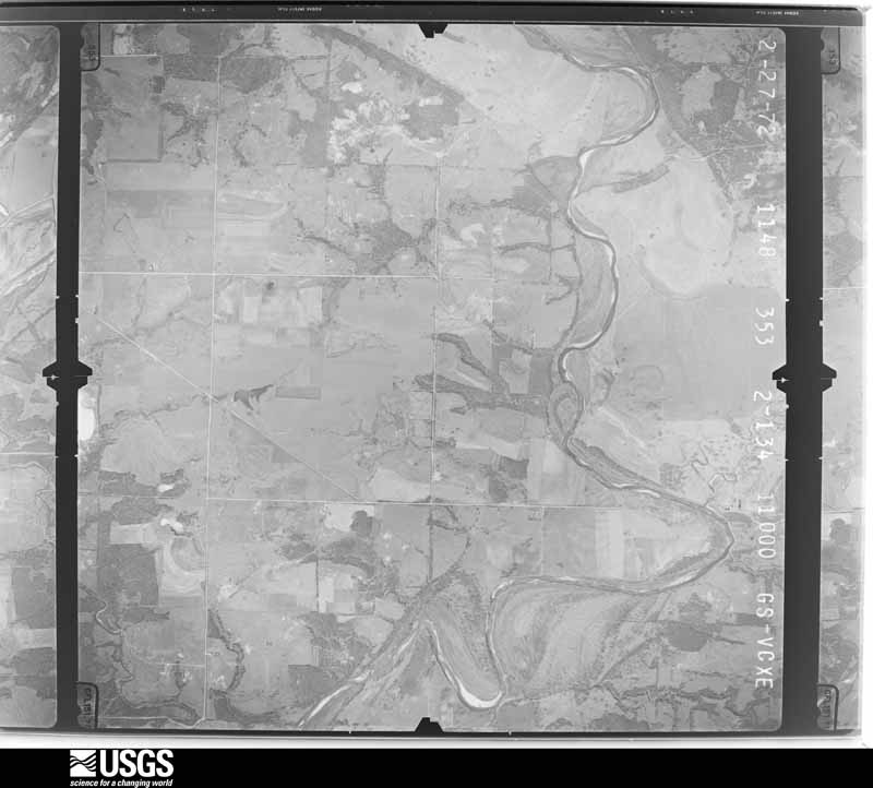
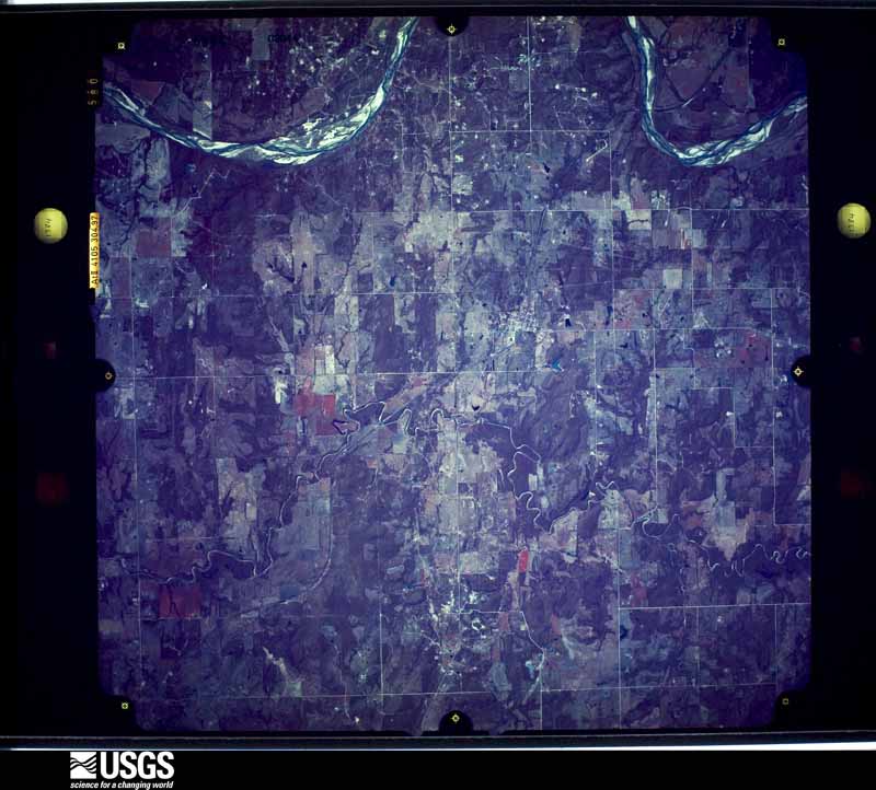
Flown by the U.S. Geological Survey between 1937 and 1989, the Aerial Photo Single Frames collection is the definitive mid-century view of the land: fields, roads and rivers as the camera saw them. The Survey holds 687 frames inside the rectangle that bounds this county; the 26 frames below were taken over the county itself, chosen across the decades of flights (at most four a year from that rectangle), so one flight cannot crowd out the rest. The full set is free to browse and download at EarthExplorer under the dataset Aerial Photo Single Frames.
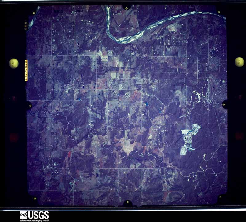
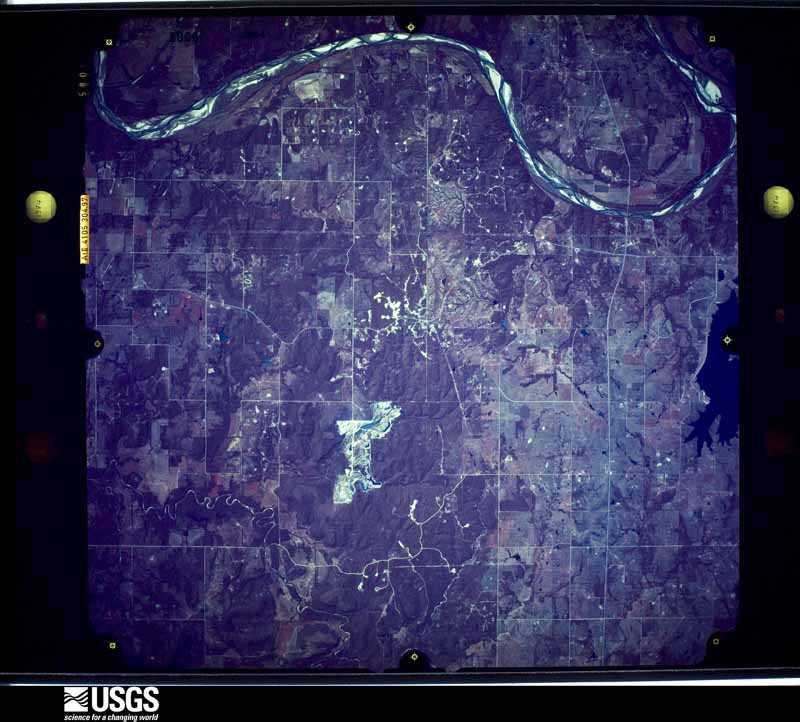
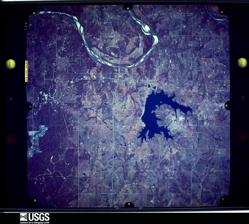
The thermometers that kept this county's weather, and the gages that measured the flow of its streams, as the federal records hold them. The extremes below are measured values from those records, not estimates.
Who lived here in 1950, one enumeration district at a time, as the Census Bureau described each district. Each row opens its official National Archives result, with Population Schedules and ED Maps available there.
Every wildfire the federal occurrence database records inside this county: 856 of them, burning about 70,677 acres. 27 started naturally and 209 were recorded as arson. Each settlement page carries the fires within five miles of it.
| Reported cause | Fires |
|---|---|
| Debris and open burning | 343 |
| Arson/incendiarism | 209 |
| Missing data/not specified/undetermined | 106 |
| Equipment and vehicle use | 98 |
| Power generation/transmission/distribution | 38 |
| Natural | 27 |
| Recreation and ceremony | 9 |
| Smoking | 8 |
| Other causes | 6 |
| Misuse of fire by a minor | 5 |
| Fireworks | 4 |
| Railroad operations and maintenance | 3 |
The five largest, by the area the report gives. None of them was recorded as arson.
| Date | Cause | Size | Reported by | Name on the report |
|---|---|---|---|---|
| 27 December 2005 | Missing data/not specified/undetermined | 6,122 acres | Wewoka Agency | LITTLERIV2 |
| 27 December 2005 | Missing data/not specified/undetermined | 5,760 acres | Oklahoma Division of Forestry | SPORTSMAN LAKE FIRE |
| 29 December 2005 | Debris and open burning | 4,100 acres | Wewoka Agency | SHERWOOD F |
| 27 December 2005 | Equipment and vehicle use | 3,500 acres | Wewoka Agency | MEKASUKEY |
| 19 February 2004 | Missing data/not specified/undetermined | 3,300 acres | Wewoka Agency | VAMOOSA |
| 22 March 2017 | Missing data/not specified/undetermined | 2,100 acres | Oklahoma Division of Forestry | SHERWOOD FOREST |
| 1 January 2006 | Missing data/not specified/undetermined | 2,000 acres | Wewoka Agency | 1ST WEWOKA |
| 22 March 2017 | Debris and open burning | 1,642 acres | Wewoka Agency | WALKER |
Every settlement page carries the fires within five miles of it - see the settlement index below.
The NOAA Storm Events Database holds 504 reports for this county, causing 1 death, 63 injuries and about $17,770,915 in recorded property damage. Each settlement page carries the reports that name it.
| Kind of event | Reports |
|---|---|
| Hail | 271 |
| Thunderstorm Wind | 144 |
| Tornado | 61 |
| Flash Flood | 21 |
| Lightning | 5 |
| Flood | 2 |
The most serious of them, by death, then injury, then recorded damage. The accounts are quoted exactly as the forecast office filed them.
| When | Event | Place named | Harm | What the report says |
|---|---|---|---|---|
| August 2007 | Flash Flood | Seminole | 1 killed, $50,000 | Three to four feet of water accumulated at the Seminole Ford/Mercury car dealership. Numerous city and county roads were closed due to the high water. A 67-year old woman drowned as her car was washed off the roadway into Magnolia Creek. |
| May 2010 | Tornado (EF3) | Seminole | 26 hurt | This tornado continued from Pottawatomie county, moved through Seminole county and continued into Okfuskee County just east of Cromwell. This tornado lasted at least 30 miles, with significant damage along its entire path. At times, the tornado damage path widened up to a mile. The most significant damage was located north and northeast of Earlsboro near the Pottawatomie/Seminole county border. Here a two story home was destroyed except for a few interior walls. A pick-up truck was also lofted approximately a quarter of a mile, and a semi-trailer was lofted or rolled approximately 200 yards. Farther east along its path, seven high tension towers were downed. Several hangers were destroyed at the Seminole Municipal Airport north of Seminole, and one small aircraft was flipped onto one of the destroyed hangers. Two mobile homes were destroyed near the airport and one resident suffered a broken arm. Significant tree damage was reported along the entire track of the tornado, some of them debarked and stripped off all their branches. See the documentation by the NWS Tulsa office for information of this tornado in Okfuskee County. This tornado is labeled #J4. |
| November 1958 | Tornado (F3) | not stated | 15 hurt, $250,000 | no account filed |
| February 1961 | Tornado (F3) | not stated | 7 hurt, $2,500,000 | no account filed |
| April 1971 | Tornado (F1) | not stated | 6 hurt, $25,000 | no account filed |
| January 1973 | Tornado (F2) | not stated | 4 hurt, $250,000 | no account filed |
| April 1967 | Tornado (F2) | not stated | 3 hurt, $250,000 | no account filed |
| May 1963 | Tornado (F3) | not stated | 2 hurt, $2,500 | no account filed |
| June 1995 | Tornado (F2) | S Seminole | $5,000,000 | no account filed |
| May 1981 | Tornado (F4) | not stated | $2,500,000 | no account filed |
| June 1974 | Tornado (F2) | not stated | $2,500,000 | no account filed |
| August 1999 | Thunderstorm Wind | Konawa | $500,000 | no account filed |
| July 1995 | Thunderstorm Wind | Konawa | $500,000 | no account filed |
| May 2022 | Tornado (EF2) | Seminole | $300,000 | A long track tornado began between Maud and Seminole, before making a north to northeast path of damage across Seminole County. The most extensive damage was to buildings just east of downtown Seminole, as well as near the Seminole Academy. Buildings had the roofs removed from the tornado, and some buildings had exterior walls damaged. As the tornado moved to the northeast, it produced sporadic damage to mainly rural areas northeast of Seminole. |
| May 1981 | Tornado (F2) | not stated | $250,000 | no account filed |
| June 1974 | Tornado (F3) | not stated | $250,000 | no account filed |
| May 1973 | Tornado (F2) | not stated | $250,000 | no account filed |
| September 1957 | Tornado (F4) | not stated | $250,000 | no account filed |
| May 1999 | Thunderstorm Wind | Seminole | $200,000 | no account filed |
| April 1998 | Flash Flood | Countywide | $165,000 | Rainfall amounts upwards of 3 inches caused widespread creek, ditch, and street flooding across Seminole County. Numerous driveways built across ditches (tinhorns) across the county were washed out and several roads were closed. Tragically, a mother and her two children drowned in a swolen creek. Investigators determined that flooding was not the direct cause of the accident since she was not washed off the road; rather, she had simply driven off of the roadway in the darkness and the family was not able to escape the vehicle. |
| May 2022 | Tornado (EF1) | Seminole | $150,000 | The first damage took the form of broken branches about 5.5 miles west southwest of Seminole and less than a mile east of the Pottawatomie County line. The most intense damage occurred along EW1250 road east of NS3510 Rd where numerous oak trees were snapped and uprooted with large limbs blown downwind. A house in the vicinity lost several courses of shingles which appeared to be higher than the typical quality of shingles. An outbuilding near the residence was leveled and debris blown downwind. Farther east on NS3550 Rd, a small stretch of trees exhibited the most intense damage with roughly 50% of them uprooted or snapped. Finally, the last tree damage occurred one mile southeast of downtown Seminole. |
| May 2012 | Thunderstorm Wind | Seminole | $150,000 | A metal canopy was flipped, causing damage to the main airplane hangar at Seminole airport including minor damage to several planes. Several small trees were blown down along with one power pole. Two portable buildings were also destroyed. Monetary damages are estimated. |
| May 2022 | Tornado (EF1) | Cromwell | $100,000 | This tornado touched down southwest of Cromwell with the first damage noted near the intersection of county roads NS3660 and EW1180 where tree limb damage was produced. The tornado moved northeast causing scattered tree damage before moving into Cromwell. The tornado had grown to be around 600 yards wide by the time it reached Cromwell and damage was noted over a wide area of the town. The roof and walls of one mobile home was destroyed and other mobile homes were damaged, an RV was flipped over, and at least one house suffered roof damage. There was also significant tree damage at various locations in town. The tornado moved northeast through town, and then turned toward the east-northeast and entered Okfuskee County (see separate entry for Okfuskee County from the NWS office in Tulsa) along and north of State Highway 99A. |
| June 2019 | Tornado (EF1) | Konawa | $100,000 | A tornado developed within a squall line just northwest of the town of Konawa and moved east-southeast through the north side of Konawa. Numerous trees were downed and fell into homes creating significant roof and siding damage. |
| August 1999 | Lightning | Wewoka | $100,000 | no account filed |
| June 2007 | Flash Flood | Konawa | $75,000 | A bridge was washed out on HWY 9A on north edge of Konawa. Monetary damages were estimated. |
| January 1998 | Lightning | Little | $75,000 | Lightning struck and set fire to a house. The house and its contents were destroyed. |
| October 1998 | Tornado (F2) | Little | $75,000 | no account filed |
| May 2025 | Flood | Dewright | $50,000 | Roadway flooding occurred along a portion of East 1340 Road due to water rise from the Little River. A water rescue was conducted during the early morning hours of the 3rd. Flooding was likely ongoing before and after the listed event time. |
| April 2025 | Flash Flood | Little | $50,000 | Roadway flooding near the intersection of County Roads 1180 and 3620 due to water rise from West Gar Creek. At least one rescue was reported at this location. Event time is approximate, and residual flooding may have continued beyond the end of this event. |
| October 2017 | Tornado (EF1) | Seminole | $50,000 | This tornado developed on the northwest side of Seminole near the U.S. Highway 270 and Reid Street, and move southeast through town dissipating near U.S. Highway 270 and 7th Street. Most of the damage was tree damage with many trees snapped or uprooted, especially in the Maple Grove Cemetery on the northwest side of town. However, a few homes and other buildings also received roof damage including one home where much of the roof was pulled off. One family was trapped in their storm cellar when a tree fell on the cellar door. Near downtown, a church received roof damage and portions of the roof were impaled in the siding of nearby businesses. |
| June 1997 | Thunderstorm Wind | Seminole | $50,000 | Severe thunderstorm winds up to 70 mph caused widespread damage in Seminole. The greatest damage occurred at a motel where the roof was torn off and debris damaged dozens of cars. Signs, trees, and limbs were blown down throughout town. |
| May 2007 | Tornado (EF0) | Seminole | $40,000 | Damage from a brief tornado occurred near State Highway 9 to the east of Seminole. A large tree fell onto a trailer and a car and pushed the trailer off of its foundation. To the east of this mobile home, the sheet metal roof of a garage was flipped north against another mobile home and the outer walls of the garage collapsed. Monetary damages were estimated. |
| March 2002 | Thunderstorm Wind | Seminole | $35,000 | A front porch and two garages were destroyed by high winds. |
| May 2022 | Tornado (EF1) | Cromwell | $30,000 | A tornado occurred just west of Cromwell. This tornado cuased tree and roof damage along NS 3660 Road approximately 2 miles west of Cromwell. |
| August 2025 | Thunderstorm Wind | Wewoka | $25,000 | The roof of a pole barn was damaged and multiple trees and power poles were blown down in and near the community of Wewoka. The location is approximate, and the event time is estimated from radar observations. |
| August 1998 | Lightning | Seminole | $25,000 | no account filed |
| April 1996 | Thunderstorm Wind | Maud | $25,000 | no account filed |
| April 1985 | Tornado (F1) | not stated | $25,000 | no account filed |
| March 1982 | Tornado (F1) | not stated | $25,000 | no account filed |
| May 1981 | Tornado (F3) | not stated | $25,000 | no account filed |
| April 1968 | Tornado (F3) | not stated | $25,000 | no account filed |
| May 1965 | Tornado (F2) | not stated | $25,000 | no account filed |
| May 1956 | Tornado (F2) | not stated | $25,000 | no account filed |
| May 1954 | Tornado (F2) | not stated | $25,000 | no account filed |
| July 1954 | Tornado (F1) | not stated | $25,000 | no account filed |
| May 1954 | Tornado (F2) | not stated | $25,000 | no account filed |
| May 2000 | Thunderstorm Wind | Seminole | $22,000 | Two mobile homes were moved slightly from their foundation. Skirting was also blown off of 5 other mobile homes, and windows were blown out of a vehicle. Damage was also sustained to a light at a football field and to the batting cage at a softball field, and an antenna and tower were damaged at the fire department. |
| April 2026 | Tornado (EF1) | Little | $20,000 | This tornado began near the NS 3510 County Road and EW 1140 County Road intersection. The tornado produced tree and power line damage as it moved northeast. EF1 tree damage was noted along EW 1130 Road, just south of Interstate 40, where large tree limbs were broken off. The tornado then crossed Interstate 40 just east of the Seminole Rest Area and damage trees and fences near E1120 Road and S354 Road before dissipating. |
| November 2024 | Tornado (EF1) | Vamoosa | $20,000 | A property owner reported that a tornado cut a trail through a wooded area on their property northeast of Konawa. Fifteen to twenty trees were reported snapped or uprooted. |
| May 2003 | Thunderstorm Wind | Cromwell | $20,000 | A house was reported damaged along with a barn destroyed. A trailer house was moved from its original position. Both a well-house and yard play equipment were reported missing. |
| April 2003 | Thunderstorm Wind | Little | $18,000 | Winds caused a path of damage 9 miles long and a mile and a half wide. Winds took roofs off 6 barns and destroyed 2 other barns. Numerous trees were damaged along with some shingles taken off a house. A tree limb also damaged a windshield and convertible top of a car. |
| September 2023 | Thunderstorm Wind | Cromwell | $15,000 | Relayed images showing wind damage on a property just east of Highway 56. The most significant damage occurred to a large machine shed, which had half of its roof collapse. Additional smaller outbuildings were heavily damaged or destroyed. Several large tree limbs were also blown down. Event likely the result of a downburst based on radar imagery and ground survey by local emergency management. Time is radar estimated. |
| May 2007 | Tornado (EF0) | Little | $15,000 | Two small metal barns sustained roof damage from a tornado along State Highway 99A east of Little. Adjacent trees in the area suffered some broken branches, but no significant damage. Monetary damages were estimated. |
| July 2003 | Lightning | Seminole | $15,000 | Lightning struck a small steeple on top of the BancFirst branch building removing the center of the roof and causing a fire. The lightning hit near the intersection of Highway 99 and Reed Street. |
| May 1997 | Tornado (F0) | Cromwell | $15,000 | A tornado was seen 1 mile north of Highway 99A on Highway 56. The tornado blew the roof off of a detached garage, destroyed a storage shed and its contents, pulled sections of chain-link fence from the ground, and caused minor tree damage at a residence. A new pickup truck at the site also sustained major damage. On the house itself (a stone structure), only the screen door was damaged. Total damage was estimated at $15,000. |
| April 2026 | Hail | Wewoka | $10,000 | Damage to vehicle windows was also reported. The location is approximate. |
| June 2023 | Thunderstorm Wind | Konawa | $10,000 | Significant roof damage to a building at Konawa High School. Time is radar estimated. |
| May 2023 | Flash Flood | Seminole | $10,000 | Numerous streets flooded due to heavy rainfall. |
| May 2023 | Flood | Seminole | $10,000 | Strother Street, east of Main Street, closed due to continued flooding/water across the roadway. |
The Survey's mineral resources record lists 126 workings inside this county. 11 still produce and 115 are closed or unrecorded. Each settlement page carries the workings within five miles of it.
| Commodity | Workings |
|---|---|
| Sand and Gravel, Construction | 110 |
| Stone, Crushed/Broken | 7 |
| Clay | 6 |
| Copper | 3 |
The least common of them first, because a county's hundredth gravel pit says nothing its first ten did not.
| Where | Site | Commodity | Status | Recorded |
|---|---|---|---|---|
| Ellis East | Copper | Occurrence | 1933 | |
| Ellis West | Copper | Past Producer | 1933 | |
| Konawa Southwest | Copper | Past Producer | 1929 | |
| Commercial Brick Co Shale Pit | Clay | Producer | ||
| United Clay Pipe Co Clay Pit | Clay | Past Producer | ||
| Unknown Shale Pit | Clay | Past Producer | ||
| Unknown Shale Pit | Clay | Past Producer | ||
| Wewoka Brick & Tile Co Clay Pit | Clay | Past Producer | ||
| Wewoka Brick & Tile Co Clay Pit | Clay | Past Producer | ||
| Dolese Company Limestone Pit | Stone, Crushed/Broken | Producer | ||
| Dolese Company Limestone Pit | Stone, Crushed/Broken | Producer | ||
| Konawa Quarry & Mill | Stone, Crushed/Broken | Past Producer | ||
| Star Pit | Stone, Crushed/Broken | Past Producer | ||
| Unknown Limestone Pit | Stone, Crushed/Broken | Past Producer | ||
| Unknown Limestone Pit | Stone, Crushed/Broken | Past Producer | ||
| Unknown Limestone Pit | Stone, Crushed/Broken | Past Producer | ||
| Corff Sand and Gravel Company Pit | Sand and Gravel, Construction | Producer | ||
| Cromwell Dredge and Plant | Sand and Gravel, Construction | Producer | ||
| Five Unnamed Sand & Gravel Pits | Sand and Gravel, Construction | Past Producer | ||
| Granite Gravel Co Pit | Sand and Gravel, Construction | Producer | ||
| H and W Pit | Sand and Gravel, Construction | Producer | ||
| Perryman Sand Co Pit | Sand and Gravel, Construction | Producer | ||
| Three Unnamed Sand & Gravel Pits | Sand and Gravel, Construction | Past Producer | ||
| Three Unnamed Sand & Gravel Pits | Sand and Gravel, Construction | Past Producer | ||
| Three Unnamed Sand & Gravel Pits | Sand and Gravel, Construction | Past Producer | ||
| Two Unnamed Gravel Pits | Sand and Gravel, Construction | Past Producer | ||
| Two Unnamed Gravel Pits | Sand and Gravel, Construction | Past Producer | ||
| Two Unnamed Gravel Pits | Sand and Gravel, Construction | Past Producer | ||
| Two Unnamed Gravel Pits | Sand and Gravel, Construction | Past Producer | ||
| Two Unnamed Gravel Pits | Sand and Gravel, Construction | Past Producer | ||
| Two Unnamed Sand & Gravel Pits | Sand and Gravel, Construction | Past Producer | ||
| Two Unnamed Sand & Gravel Pits | Sand and Gravel, Construction | Past Producer | ||
| Two Unnamed Sand & Gravel Pits | Sand and Gravel, Construction | Past Producer | ||
| Unknown Gravel Pit | Sand and Gravel, Construction | Past Producer | ||
| Unknown Gravel Pit | Sand and Gravel, Construction | Past Producer | ||
| Unknown Gravel Pit | Sand and Gravel, Construction | Past Producer | ||
| Unknown Gravel Pit | Sand and Gravel, Construction | Past Producer | ||
| Unknown Gravel Pit | Sand and Gravel, Construction | Past Producer | ||
| Unknown Gravel Pit | Sand and Gravel, Construction | Past Producer | ||
| Unknown Gravel Pit | Sand and Gravel, Construction | Past Producer | ||
| Unknown Gravel Pit | Sand and Gravel, Construction | Past Producer | ||
| Unknown Gravel Pit | Sand and Gravel, Construction | Past Producer | ||
| Unknown Gravel Pit | Sand and Gravel, Construction | Past Producer | ||
| Unknown Gravel Pit | Sand and Gravel, Construction | Past Producer | ||
| Unknown Gravel Pit | Sand and Gravel, Construction | Past Producer | ||
| Unknown Gravel Pit | Sand and Gravel, Construction | Past Producer | ||
| Unknown Gravel Pit | Sand and Gravel, Construction | Past Producer | ||
| Unknown Gravel Pit | Sand and Gravel, Construction | Past Producer | ||
| Unknown Gravel Pit | Sand and Gravel, Construction | Past Producer | ||
| Unknown Gravel Pit | Sand and Gravel, Construction | Past Producer | ||
| Unknown Gravel Pit | Sand and Gravel, Construction | Past Producer | ||
| Unknown Gravel Pit | Sand and Gravel, Construction | Past Producer | ||
| Unknown Gravel Pit | Sand and Gravel, Construction | Past Producer | ||
| Unknown Gravel Pit | Sand and Gravel, Construction | Past Producer | ||
| Unknown Gravel Pit | Sand and Gravel, Construction | Past Producer | ||
| Unknown Gravel Pit | Sand and Gravel, Construction | Past Producer | ||
| Unknown Gravel Pit | Sand and Gravel, Construction | Past Producer | ||
| Unknown Gravel Pit | Sand and Gravel, Construction | Past Producer | ||
| Unknown Gravel Pit | Sand and Gravel, Construction | Past Producer | ||
| Unknown Gravel Pit | Sand and Gravel, Construction | Past Producer | ||
| Unknown Gravel Pit | Sand and Gravel, Construction | Past Producer | ||
| Unknown Gravel Pit | Sand and Gravel, Construction | Past Producer | ||
| Unknown Gravel Pit | Sand and Gravel, Construction | Past Producer | ||
| Unknown Gravel Pit | Sand and Gravel, Construction | Past Producer | ||
| Unknown Gravel Pit | Sand and Gravel, Construction | Past Producer | ||
| Unknown Gravel Pit | Sand and Gravel, Construction | Past Producer | ||
| Unknown Gravel Pit | Sand and Gravel, Construction | Past Producer | ||
| Unknown Sand Pit | Sand and Gravel, Construction | Past Producer | ||
| Unknown Sand Pit | Sand and Gravel, Construction | Past Producer | ||
| Unknown Sand and Gravel | Sand and Gravel, Construction | Past Producer | ||
| Unknown Sand and Gravel Pit | Sand and Gravel, Construction | Past Producer | ||
| Unknown Sand and Gravel Pit | Sand and Gravel, Construction | Past Producer | ||
| Unknown Sand and Gravel Pit | Sand and Gravel, Construction | Past Producer | ||
| Unknown Sand and Gravel Pit | Sand and Gravel, Construction | Past Producer | ||
| Unknown Sand and Gravel Pit | Sand and Gravel, Construction | Past Producer | ||
| Unknown Sand and Gravel Pit | Sand and Gravel, Construction | Past Producer | ||
| Unknown Sand and Gravel Pit | Sand and Gravel, Construction | Past Producer | ||
| Unknown Sand and Gravel Pit | Sand and Gravel, Construction | Past Producer | ||
| Unknown Sand and Gravel Pit | Sand and Gravel, Construction | Past Producer | ||
| Unknown Sand and Gravel Pit | Sand and Gravel, Construction | Past Producer | ||
| Unknown Sand and Gravel Pit | Sand and Gravel, Construction | Past Producer | ||
| Unknown Sand and Gravel Pit | Sand and Gravel, Construction | Past Producer | ||
| Unknown Sand and Gravel Pit | Sand and Gravel, Construction | Past Producer | ||
| Unknown Sand and Gravel Pit | Sand and Gravel, Construction | Past Producer | ||
| Unknown Sand and Gravel Pit | Sand and Gravel, Construction | Past Producer | ||
| Unknown Sand and Gravel Pit | Sand and Gravel, Construction | Past Producer | ||
| Unknown Sand and Gravel Pit | Sand and Gravel, Construction | Past Producer | ||
| Unknown Sand and Gravel Pit | Sand and Gravel, Construction | Past Producer | ||
| Unknown Sand and Gravel Pit | Sand and Gravel, Construction | Producer | ||
| Unknown Sand and Gravel Pit | Sand and Gravel, Construction | Past Producer | ||
| Unknown Sand and Gravel Pit | Sand and Gravel, Construction | Past Producer | ||
| Unknown Sand and Gravel Pit | Sand and Gravel, Construction | Past Producer | ||
| Unknown Sand and Gravel Pit | Sand and Gravel, Construction | Producer | ||
| Unknown Sand and Gravel Pit | Sand and Gravel, Construction | Producer | ||
| Unknown Sand and Gravel Pit | Sand and Gravel, Construction | Past Producer | ||
| Unknown Sand and Gravel Pit | Sand and Gravel, Construction | Past Producer | ||
| Unknown Sand and Gravel Pit | Sand and Gravel, Construction | Past Producer | ||
| Unknown Sand and Gravel Pit | Sand and Gravel, Construction | Past Producer | ||
| Unknown Sand and Gravel Pit | Sand and Gravel, Construction | Past Producer | ||
| Unknown Sand and Gravel Pit | Sand and Gravel, Construction | Past Producer | ||
| Unknown Sand and Gravel Pit | Sand and Gravel, Construction | Past Producer | ||
| Unknown Sand and Gravel Pit | Sand and Gravel, Construction | Past Producer | ||
| Unknown Sand and Gravel Pit | Sand and Gravel, Construction | Past Producer | ||
| Unknown Sand and Gravel Pit | Sand and Gravel, Construction | Past Producer | ||
| Unknown Sand and Gravel Pit | Sand and Gravel, Construction | Past Producer | ||
| Unknown Sand and Gravel Pit | Sand and Gravel, Construction | Past Producer | ||
| Unknown Sand and Gravel Pit | Sand and Gravel, Construction | Past Producer | ||
| Unknown Sand and Gravel Pit | Sand and Gravel, Construction | Past Producer | ||
| Unknown Sand and Gravel Pit | Sand and Gravel, Construction | Past Producer | ||
| Unknown Sand and Gravel Pit | Sand and Gravel, Construction | Past Producer | ||
| Unknown Sand and Gravel Pit | Sand and Gravel, Construction | Past Producer | ||
| Unknown Sand and Gravel Pit | Sand and Gravel, Construction | Past Producer | ||
| Unknown Sand and Gravel Pit | Sand and Gravel, Construction | Past Producer | ||
| Unknown Sand and Gravel Pit | Sand and Gravel, Construction | Past Producer | ||
| Unknown Sand and Gravel Pit | Sand and Gravel, Construction | Past Producer | ||
| Unknown Sand and Gravel Pit | Sand and Gravel, Construction | Past Producer | ||
| Unknown Sand and Gravel Pit | Sand and Gravel, Construction | Past Producer | ||
| Unknown Sand and Gravel Pit | Sand and Gravel, Construction | Past Producer | ||
| Unknown Sand and Gravel Pit | Sand and Gravel, Construction | Past Producer | ||
| Unknown Sand and Gravel Pit | Sand and Gravel, Construction | Past Producer | ||
| Unknown Sand and Gravel Pit | Sand and Gravel, Construction | Past Producer | ||
| Unknown Sand and Gravel Pit | Sand and Gravel, Construction | Past Producer | ||
| Unknown Sand and Gravel Pit | Sand and Gravel, Construction | Past Producer | ||
| Unknown Sand and Gravel Pit | Sand and Gravel, Construction | Past Producer | ||
| Unknown Sand and Gravel Pit | Sand and Gravel, Construction | Past Producer | ||
| Unknown Sand and Gravel Pit | Sand and Gravel, Construction | Past Producer |
Named settlements recorded in the Geographic Names Information System, each with the topographic sheets covering it. Villages, hamlets and abandoned places alike. Each is shown with the nearest named watercourse or landform and the survey quadrangle it falls on. The 3 places that were also surveyed for fire insurance come first, with the number of atlases and photographs held for them.
Konawa census division · 74849 · Konawa quadrangle
13 sheets, 1901 to 1990
Fire insurance: 3 atlases
Seminole North census division · 74868 · On Magnolia Creek · Seminole quadrangle
11 sheets, 1896 to 1985
Fire insurance: 5 atlases
Wewoka census division · 74884 · Wewoka East quadrangle
12 sheets, 1900 to 1985
Fire insurance: 6 atlases
Wewoka census division · 74884 · On Coon Creek · Wewoka West quadrangle
9 sheets, 1896 to 1985
Seminole North census division · 74868 · On Snake Creek · Prague SE quadrangle
9 sheets, 1896 to 1985
12 topographic sheets and 6 fire insurance atlases, 1888 to 1945
11 topographic sheets and 5 fire insurance atlases, 1912 to 1949
13 topographic sheets and 3 fire insurance atlases, 1915 to 1936
The complete index, with nothing left out. Each of these is a separate record with its own page: a federal survey report, or the case file that argued a property on to the National Register. Both are public domain and reproduced word for word.