 Block
Waukomis, Oklahoma
11 topographic sheets cover this place, the earliest surveyed in 1955 and the latest in 1990. It stands in the South Garfield census division. It lies in ZIP code area 73773. The Survey maps it on the Waukomis quadrangle. 1,349 people lived here at the 2020 count. It stands 1,250 feet above sea level.
Population over time
2 figuresWaukomis grew from 1,286 to 1,349 between 2010 and 2020. These are the recorded population figures Wikidata holds for this place, reached through the Geographic Names Information System number this page is keyed on rather than by name, so they belong to this place and not to another of the same name. Most are census counts, but not all are: an early figure may be a founding or settlement estimate, and an estimate published within five years of a census is left out. The change column is computed, and is left blank where more than 20 years separate a figure from the one before it, because a gap that long is not a change between two counts.
| Year | People | Change |
|---|---|---|
| 2010 | 1,286 | |
| 2020 | 1,349 | +63 (+5%) |
Topographic sheets covering this place
5 surveys from 11 printed sheetsMatched by testing this settlement's coordinate against the published boundary of every sheet in the United States Geological Survey's historical collection. Each opens the scanned sheet at the Survey.
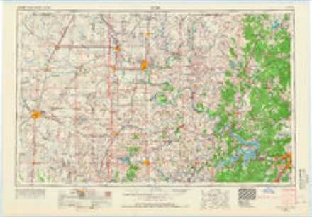
- 1955 USGS Enid quadrangle1:250000, 4 printings
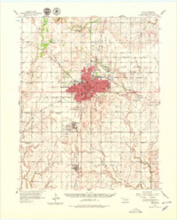
- 1956 USGS Enid quadrangle1:62500, 3 printings
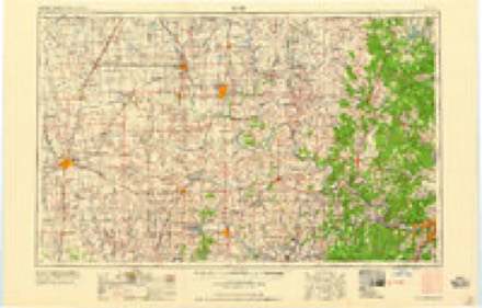
- 1958 USGS Enid quadrangle1:250000, 2 printings
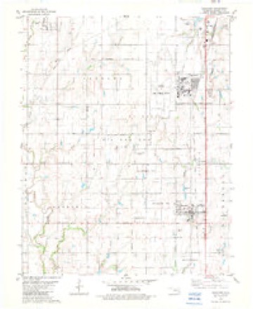
- 1982 USGS Waukomis quadrangle1:24000
- 1990 USGS Enid quadrangle1:100000
Mines and quarries near this place
3 within 5 milesRegional context, not property-specific evidence. The federal mineral resources record lists 3 workings within 5 miles of Waukomis: 1 prospect, 1 producer, 1 past producer. 1 still produces. What was taken out: Pumice, Clay, Clay, Sand and Gravel, Construction. Distance is straight-line from the map coordinates, so a quarry counted here may appear on a neighbouring settlement's page as well.
| Where | Site | Commodity | Status | Recorded |
|---|---|---|---|---|
| Unknown Sand Pit | Clay, Sand and Gravel, Construction | Past Producer | ||
| Unknown Shale Pit | Clay | Producer | ||
| Volcanic Ash Prospect | Pumice | Prospect |
Storms near this place
60 of 61 shownRegional context, not property-specific evidence. The National Weather Service names Waukomis in 61 storm reports between 1994 and 2025: 26 thunderstorm wind, 23 hail, 5 flash flood, 4 lightning. No death or injury is recorded in these reports. Each account below is quoted exactly as the forecast office filed it, from the NOAA Storm Events Database, and each date opens the federal record of that event.
| When | Event | Place named | Harm | What the report says |
|---|---|---|---|---|
| September 1999 | Lightning | Waukomis | $150,000 | no account filed |
| May 2007 | Lightning | Waukomis | $50,000 | A large tank fire was started by one of numerous lightning strikes from ongoing thunderstorms. The tank contained both salt water and crude oil. |
| July 2003 | Lightning | Waukomis | $50,000 | A lightning strike started an oil tank battery fire which destroyed two oil storage tanks. |
| September 1998 | Tornado (F1) | Waukomis | $35,000 | no account filed |
| August 2025 | Thunderstorm Wind | Waukomis | $25,000 | A relayed image shows multiple large wooden transmission poles blown down along Cleveland Road. The location is approximate, and the event time is estimated from radar observations. |
| June 2007 | Thunderstorm Wind | Waukomis | $25,000 | Five to six power poles/lines were downed due to the high wind. Minor damage was reported at Pioneer School and the fire department. Monetary damages were estimated. |
| August 2012 | Thunderstorm Wind | Waukomis | $18,000 | Numerous trees and some power lines were reported down, along with some structural damage. |
| August 2016 | Thunderstorm Wind | Waukomis | $15,000 | Utility poles and lines reported downed on both Oakwood road and US-81 between Waukomis and Vance Air Force Base. At least 15 to 20 poles were snapped or downed. Lahoma and drummond were reported out of power. |
| September 2025 | Thunderstorm Wind | Waukomis | $10,000 | Relayed images show multiple power poles snapped along Wood Road. The location is approximate, and the event time is estimated from radar observations. |
| July 2000 | Thunderstorm Wind | Waukomis | $10,000 | Minor structural damage was sustained to house roofs. |
| June 2025 | Thunderstorm Wind | Waukomis | $5,000 | Several power lines were blown down. The location is approximate, and the event time is estimated from radar observations. |
| May 2022 | Thunderstorm Wind | Waukomis | $5,000 | Roof blown off of a Dollar General. |
| August 2016 | Lightning | Waukomis | $5,000 | A tank battery was hit by lightning. Damage cost estimate is very rough. |
| May 2000 | Thunderstorm Wind | Waukomis | $5,000 | An accompanying area of straight-line winds is believed to have destroyed a storage silo near the intersection of Highway 81 and Farmall Road, or about 1/4 mile east of the end of the tornado path in Garfield County. The silo was picked up and blown eastward across Highway 81. In addition, minor roof damage was sustained to a house; trees were heavily damaged, and an oil tank separator was blown over. |
| July 1997 | Thunderstorm Wind | Waukomis | $5,000 | Severe thunderstorm winds downed large trees, broke plate glass windows, damaged signs, and snapped numerous tree limbs. |
| September 2010 | Thunderstorm Wind | Waukomis | $4,000 | A small shed was blown approximately 200 yards. Minor roof damage was also reported at the residence. Monetary damages were estimated. |
| July 2000 | Thunderstorm Wind | Waukomis | $2,100 | Trees and power poles were downed. |
| June 2018 | Thunderstorm Wind | Waukomis | $2,000 | Powerlines downed. |
| June 2010 | Thunderstorm Wind | Waukomis | $1,000 | Several tree limbs up to six inches in diameter were downed. Monetary damages were estimated. |
| May 2001 | Thunderstorm Wind | Waukomis | $1,000 | The roof was blown off a large storage building. |
| August 1999 | Thunderstorm Wind | Waukomis | $200 | no account filed |
| August 1999 | Thunderstorm Wind | Waukomis | $10 | no account filed |
| September 2025 | Thunderstorm Wind | Waukomis | - | Wind gust measured by a mobile mesonet platform. |
| September 2025 | Hail | Waukomis | - | The location is approximate. |
| September 2025 | Flash Flood | Waukomis | - | The northbound lanes of U.S. Highway 81, between Flynn and Lucien Roads, were impassable due to flooding. The event time is approximate. |
| November 2024 | Flood | Waukomis | - | Heavy rainfall caused Hackberry Creek to rise out of its banks, inducing a long-duration period of roadway flooding across Leona Mitchell Boulevard. Event time is approximate. |
| May 2024 | Hail | Waukomis | - | MPing report. |
| May 2024 | Flash Flood | Waukomis | - | Roadway flooding reported throughout portions of southeastern Garfield County, including south of Waukomis, near Bison and north of Covington. Multiple vehicle accidents due to hydroplaning also reported. Event time is approximate. |
| October 2016 | Flash Flood | Waukomis | - | An estimated 3.5 inches of rain fell causing water to flow over roadways at highway 132 and Hayward, Stabe road and Rupe, Imo and Skeleton, Wood and Imo, and Wheat capital and highway 132. |
| October 2016 | Thunderstorm Wind | Waukomis | - | Measured at home station. |
| May 2015 | Flash Flood | Waukomis | - | Major flooding with water rescues in progress. No damage reported. |
| August 2012 | Thunderstorm Wind | Waukomis | - | Emergency management reported several trees were downed. Light structural damage also occurred and several power lines were blown down. No damage estimates were available. |
| August 2011 | Thunderstorm Wind | Waukomis | - | Several 80-foot transmission poles and power lines were downed. Six residences were damaged from the falling power lines. Monetary damage estimates were not available. |
| April 2010 | Thunderstorm Wind | Waukomis | - | Several street signs and tree limbs were blown down. Part of a tin barn was blown down. A stock tank was blown onto a train. Hail up to quarter-size was also reported. Monetary damage estimates were not available. |
| June 2007 | Flash Flood | Waukomis | - | Wood Road, or EW51, was closed between HWY 132 and HWY 81 due to Turkey Creek being out of its banks. Several other east-west roads south of Wood Road were closed as well. |
| May 2000 | Tornado (F0) | Waukomis | - | This tornado, rated F0, formed about 1 mile north-northwest of Waukomis in Garfield County and was embedded in a large line of strong to severe thunderstorms which moved through much of Garfield County. The tornado produced 2 narrow areas of damage to wheat crop near the railroad track about 1/2 mile west of Highway 81 before dissipating. |
| January 2020 | Hail | Waukomis | - | no account filed |
| April 2010 | Hail | Waukomis | - | no account filed |
| May 2010 | Hail | Waukomis | - | no account filed |
| May 2010 | Hail | Waukomis | - | no account filed |
| August 2009 | Hail | Waukomis | - | no account filed |
| July 2006 | Hail | Waukomis | - | no account filed |
| July 2006 | Thunderstorm Wind | Waukomis | - | no account filed |
| May 2005 | Hail | Waukomis | - | no account filed |
| August 2005 | Hail | Waukomis | - | no account filed |
| April 2004 | Hail | Waukomis | - | no account filed |
| May 2002 | Hail | Waukomis | - | no account filed |
| August 2002 | Thunderstorm Wind | Waukomis | - | no account filed |
| August 2002 | Hail | Waukomis | - | no account filed |
| May 2001 | Hail | Waukomis | - | no account filed |
| May 2000 | Hail | Waukomis | - | no account filed |
| September 1999 | Hail | Waukomis | - | no account filed |
| April 1999 | Hail | Waukomis | - | no account filed |
| May 1999 | Hail | Waukomis | - | no account filed |
| June 1998 | Hail | Waukomis | - | no account filed |
| June 1996 | Thunderstorm Wind | Waukomis | - | no account filed |
| September 1996 | Thunderstorm Wind | Waukomis | - | no account filed |
| June 1995 | Hail | Waukomis | - | no account filed |
| April 1994 | Hail | Waukomis | - | no account filed |
| April 1994 | Hail | Waukomis | - | no account filed |
Nearest settlements
The eight closest, with where each one stands in the county. Distances are straight-line, computed from the Geographic Names Information System coordinates.
Elsewhere
Matched on this settlement's Geographic Names Information System number rather than its name, so it cannot be a different place of the same name in another state.
| Wikipedia article on Waukomis | An encyclopaedic summary. Its text is share-alike, so it is linked here rather than copied. |
| Wikidata item Q3287077 | The structured record the population and elevation above come from. Public domain (CC0). |
Provenance
This settlement is recorded in the Geographic Names Information System as feature 1099437. The sheet list is computed by point-in-boundary test against the United States Geological Survey's historical topographic inventory. Both are works of the United States government and carry no copyright under 17 U.S.C. 105.
Mines and quarries. USGS Mineral Resources Data System (MRDS) https://mrdata.usgs.gov/mrds/ A work of the United States government, no copyright under 17 U.S.C. 105.
Storms. NOAA National Centers for Environmental Information, Storm Events Database https://www.ncei.noaa.gov/stormevents/ A work of the United States government, no copyright under 17 U.S.C. 105. Narratives are quoted verbatim from the National Weather Service report and are not edited or summarised.