Block
From the record
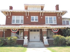
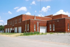
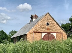
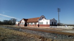
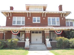
36 National Register listings published here.
Sources: the National Register database, National Park Service
52 topographic sheets and 45 fire insurance atlases across 9 places.
36 National Register listings published here.
Sources: the National Register database, National Park Service
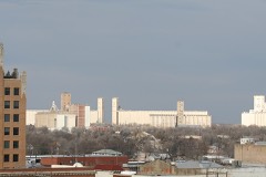
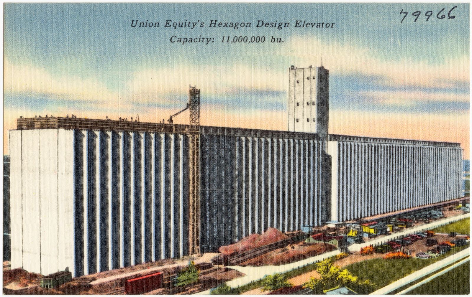
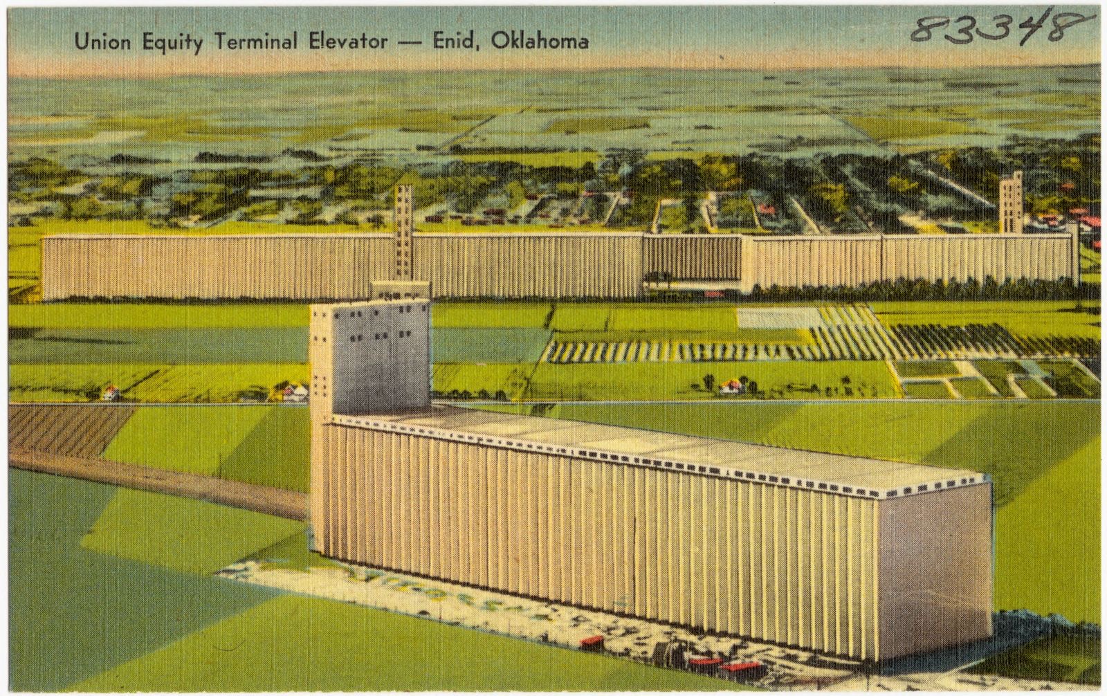
Taken for the Office of War Information and the Farm Security Administration, who photographed the country between 1935 and 1944. Works of United States government photographers, with no known restriction on use. Each opens its catalogue record.

Every property in this county listed on the National Register of Historic Places, with the year it was listed and the federal nomination document.
Selected from the Digital Public Library of America's 6 image records catalogued for this county. Every one shown here carries a public-domain status or a licence that permits reuse on a site that carries advertising; non-commercial, share-alike and restricted images are excluded. The selection is spread across the county's towns (at most eight per town), so no single institution's bulk upload crowds out the rest. Each opens the holding library's record, and the complete set at the Digital Public Library of America is one click away.
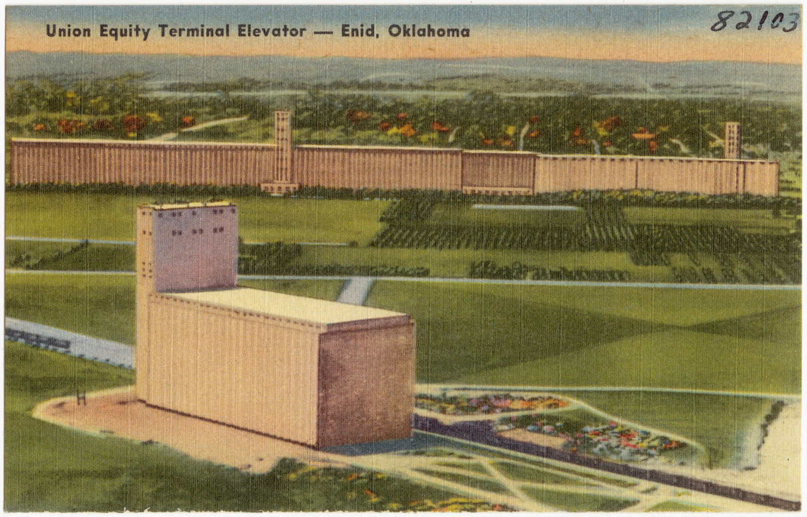

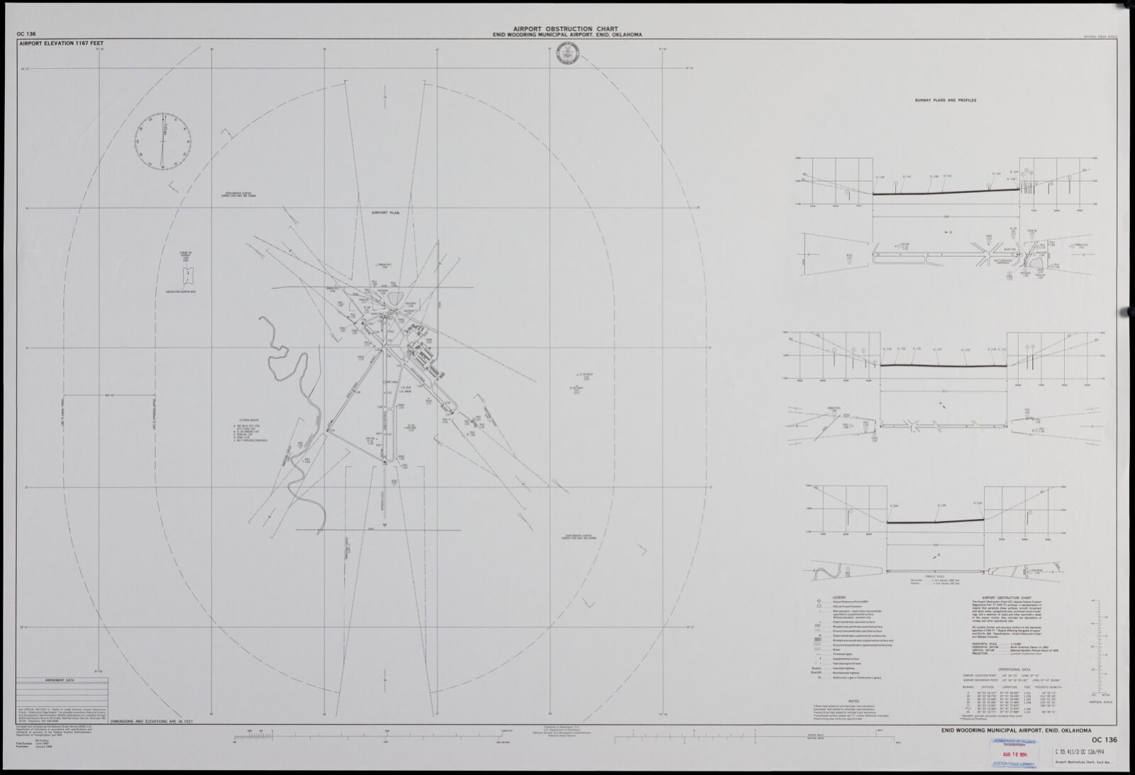
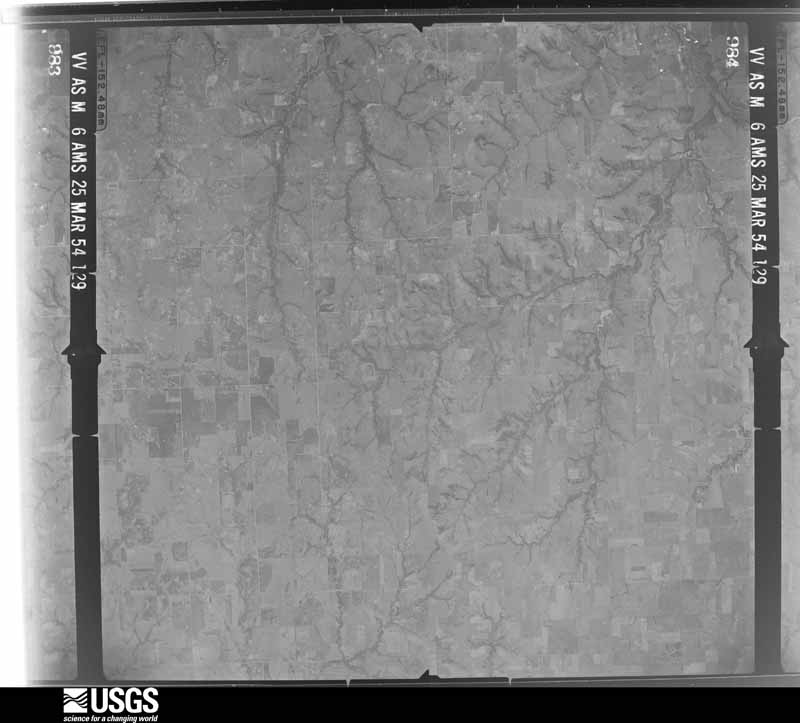
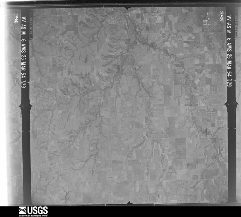
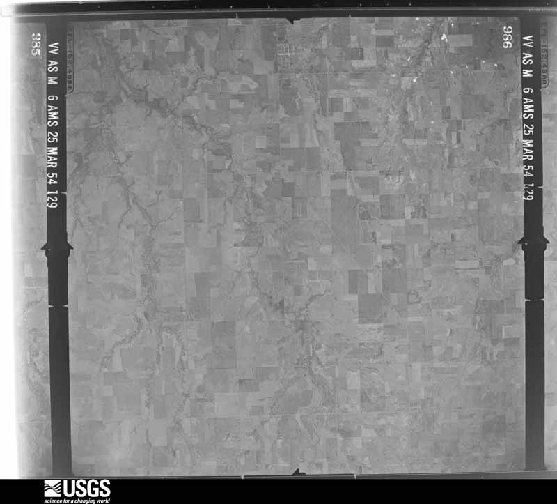
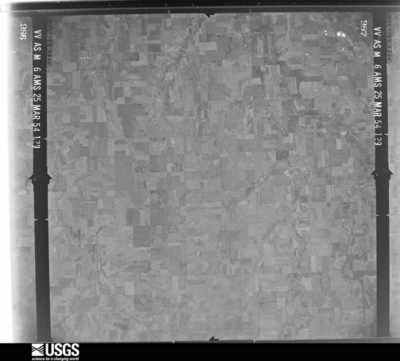
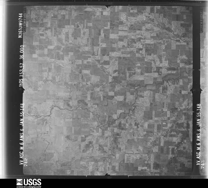
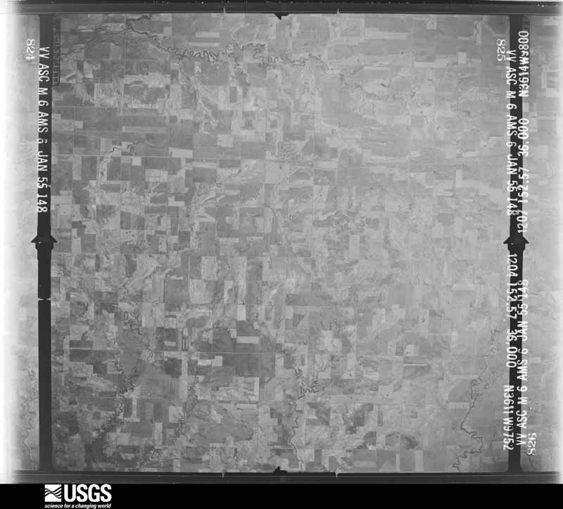
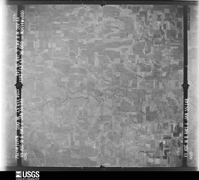
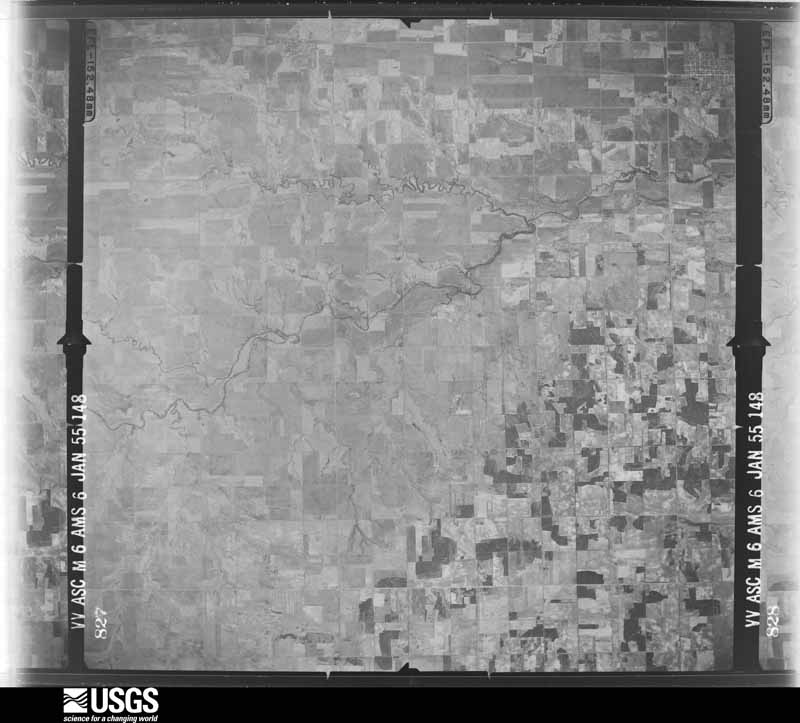
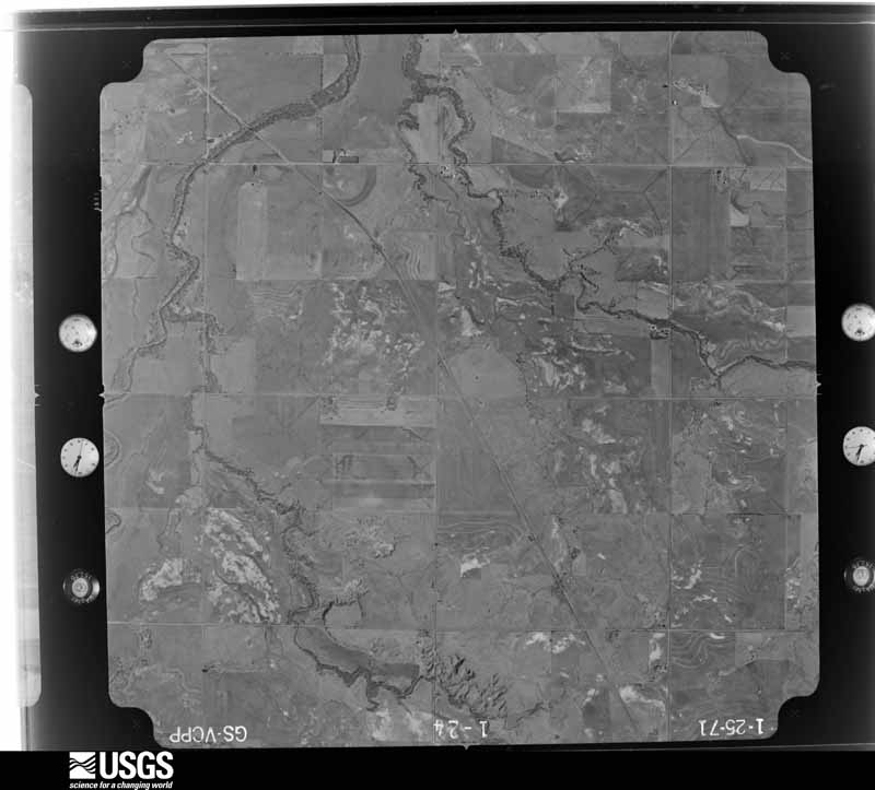
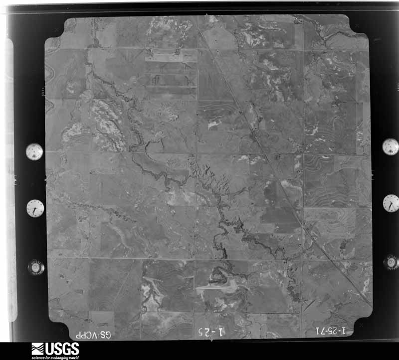
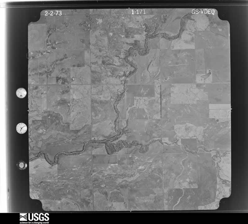
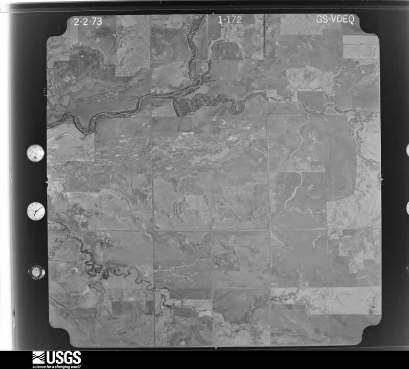
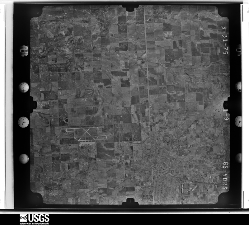
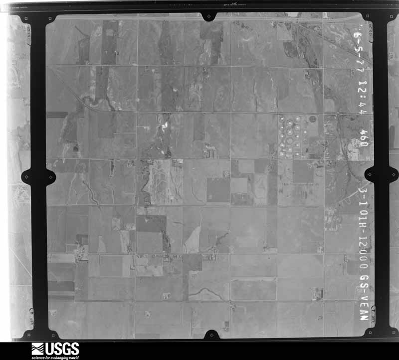
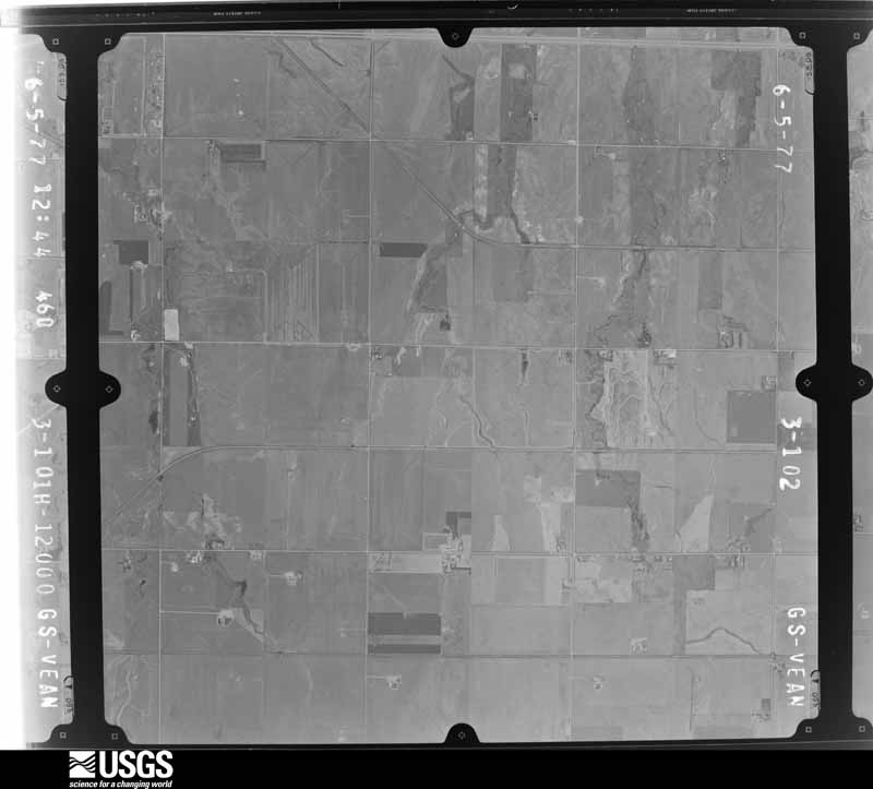
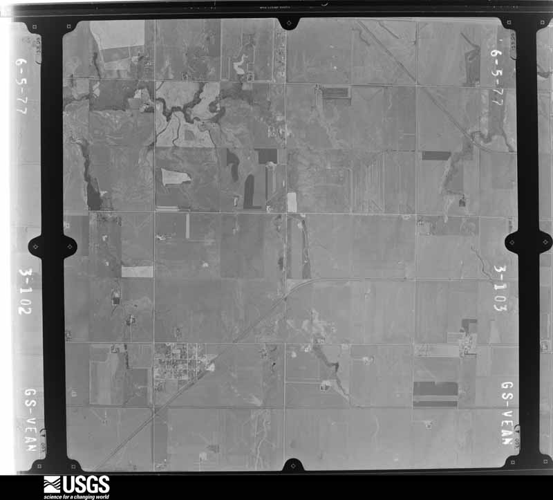
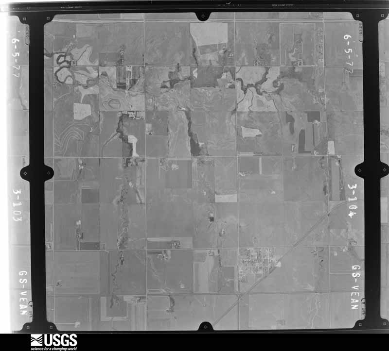
Flown by the U.S. Geological Survey between 1937 and 1989, the Aerial Photo Single Frames collection is the definitive mid-century view of the land: fields, roads and rivers as the camera saw them. The Survey holds 1,155 frames inside the rectangle that bounds this county; the 28 frames below were taken over the county itself, chosen across the decades of flights (at most four a year from that rectangle), so one flight cannot crowd out the rest. The full set is free to browse and download at EarthExplorer under the dataset Aerial Photo Single Frames.
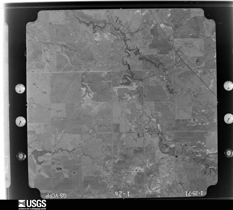
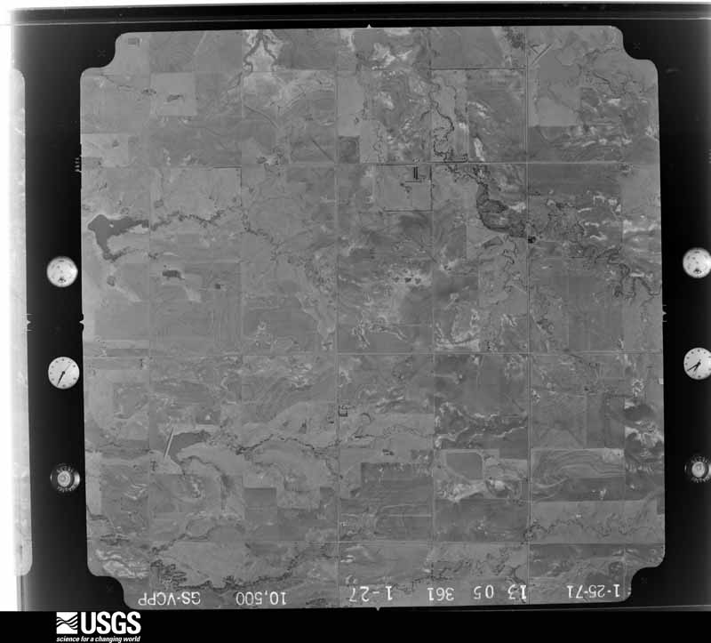
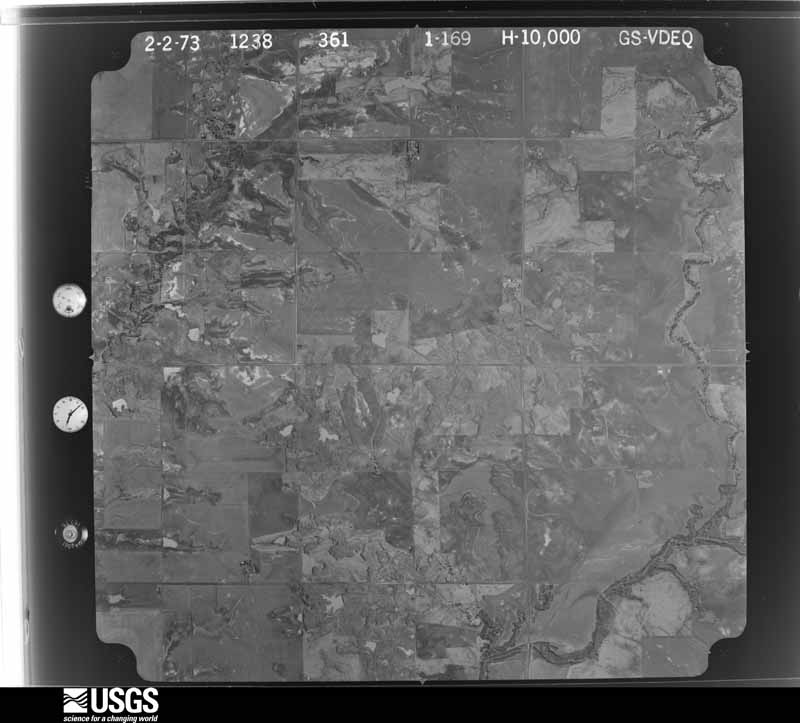
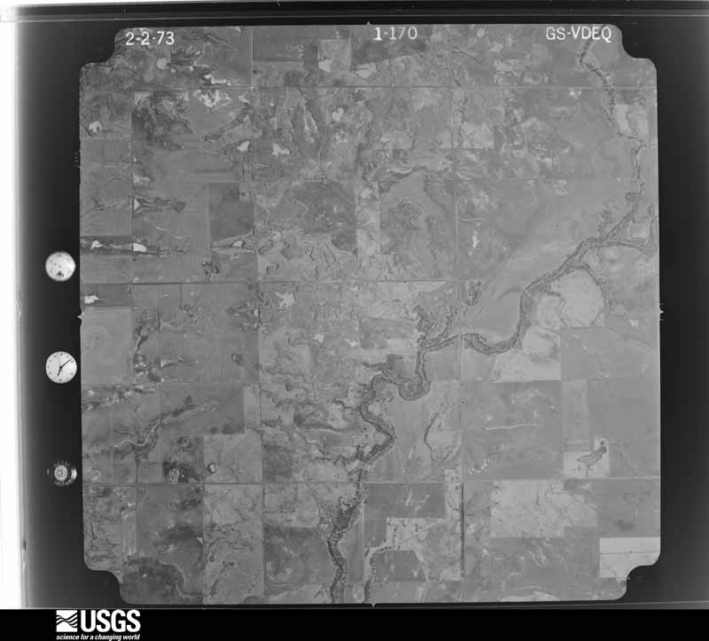







The thermometers that kept this county's weather, and the gages that measured the flow of its streams, as the federal records hold them. The extremes below are measured values from those records, not estimates.
Who lived here in 1950, one enumeration district at a time, as the Census Bureau described each district. Each row opens its official National Archives result, with Population Schedules and ED Maps available there.
Every wildfire the federal occurrence database records inside this county: 4 of them, burning about 337 acres. 1 started naturally and 1 was recorded as arson. Each settlement page carries the fires within five miles of it.
| Reported cause | Fires |
|---|---|
| Missing data/not specified/undetermined | 2 |
| Natural | 1 |
| Arson/incendiarism | 1 |
The five largest, by the area the report gives. One of them was set deliberately.
| Date | Cause | Size | Reported by | Name on the report |
|---|---|---|---|---|
| 3 April 2001 | Missing data/not specified/undetermined | 200 acres | Pawnee Agency | PAWNEE#1 |
| 4 April 2001 | Missing data/not specified/undetermined | 80 acres | Pawnee Agency | PAWNEE#2 |
| 17 January 2009 | Arson/incendiarism | 50 acres | Oklahoma Division of Forestry | 30133 |
| 27 February 2007 | Natural | 7.0 acres | Pawnee Agency | LAKE VIEW |
Every settlement page carries the fires within five miles of it - see the settlement index below.
The NOAA Storm Events Database holds 1,243 reports for this county, causing no deaths, 26 injuries and about $21,145,540 in recorded property damage. Each settlement page carries the reports that name it.
| Kind of event | Reports |
|---|---|
| Hail | 619 |
| Thunderstorm Wind | 470 |
| Tornado | 80 |
| Flash Flood | 40 |
| Lightning | 20 |
| Flood | 7 |
| Heavy Rain | 4 |
| Funnel Cloud | 3 |
The most serious of them, by death, then injury, then recorded damage. The accounts are quoted exactly as the forecast office filed them.
| When | Event | Place named | Harm | What the report says |
|---|---|---|---|---|
| May 1979 | Tornado (F4) | not stated | 10 hurt, $250,000 | no account filed |
| June 1966 | Tornado (F2) | not stated | 6 hurt, $250,000 | no account filed |
| April 1956 | Tornado (F3) | not stated | 4 hurt, $2,500,000 | no account filed |
| August 1994 | Thunderstorm Wind | Lahoma | 3 hurt, $5,000,000 | no account filed |
| April 1964 | Tornado (F2) | not stated | 1 hurt, $250,000 | no account filed |
| April 1955 | Tornado (F1) | not stated | 1 hurt, $2,500 | no account filed |
| April 2026 | Tornado (EF4) | (End)Vance Afb Enid | 1 hurt | The Enid Tornado initially developed near or on the southwest portion of Vance Air Force Base and moved east-northeast crossing over the southern edge of the runway complex, but remaining south of the majority of structures on the base. However as the tornado crossed US-81, it moved through the Gray Ridge Estates neighborhood where most of the houses in the neighborhood sustained damage, and many destroyed or receiving significant damage. Damage to at least three homes in this neighborhood was rated EF4. ||After moving northeast out of this neighborhood, the tornado moved through open land. Although the tornado continued moving through areas without structures, damage done to trees east of Leona Mitchell Blvd and north of Fox Drive was significant. At least one tree was debarked, and a hardwood tree was pulled from the ground and displaced 20 feet to the east. Farther northeast, significant ground scouring and severe tree damage was observed as the tornado crossed E0455 Road and South 16th Street. At Southgate Road, a number of structures were destroyed including two metal buildings, a warehouse and an outbuilding. An RV parked in this area was picked up and the chassis of this RV was found about 305-310 yards northeast of its origination point. Damage was rated EF4 in this area as well.||The tornado moved through more open land damaging trees as it approached S 30th Street. Radar and damage patterns indicate that the tornado moved in a loop briefly just southwest of South 30th Street and Rupe Road. A home was destroyed (EF4) and a number of other structures and trees were destroyed or heavily damaged along South 30th Street. Coming out of the loop, the tornado moved southeast across S 30th Street thereby continuing in relatively open land as opposed to moving northeast toward a d neighborhood on the southeast side of Enid. A farmstead was hit at S 42nd Street and Rupe Road destroying a barn, damaging the house and trees on the property.||Crossing Rupe Road, radar indicated the tornado likely moved in a loop again northeast of Rupe Road and S 42nd Street, before moving southeast and east and dissipating near Boggy Creek just west of Woodring Airport.||Despite the intensity of this tornado, there was only one injury that required transport.||Scientific notes: Researchers at the National Severe Storms Laboratory and the University of Illinois performed a variety of calculations to estimate the potential wind speed of the tornado. Two researchers performed a treefall pattern analysis to match the observed pattern of treefall to a simulated pattern from a vortex model. One researcher used this method to determine a probabilistic wind speed distribution from treefall near Southgate Road using six different sets of constraints. The calculated median maximum 3-second velocity in all of these six experiments was over 205 mph, and the interquartile range of two of these six experiments was completely over 200 mph. ||A second researcher also performed a treefall analysis with a Monte Carlo simulation slightly adjusting the input variables. Taking the runs with the lowest 0.5% error, a median estimated maximum wind velocity of 94 m/s (210 mph) was calculated.||A third researcher made calculations of the 300 yard displacement of the RV near Southgate Road using simulations with a 3-dimensional vortex model that does include modeled vertical motion of the tornado, again using a Monte Carlo simulation. Of the simulations that provided the closest match the displacement of the RV, the maximum winds of these simulations were 91-97 m/s (204-217 mph).||Based on these engineering calculations that included both 3-dimensional vortex modeling (including vertical motions) and 3-second averaging wind speed averaging consistent with the EF-scale values, it is very highly likely that this tornado produced winds that would be classified as an EF5 tornado in the vicinity of Southgate Road. |
| April 1991 | Tornado (F4) | not stated | $2,500,000 | no account filed |
| June 2007 | Thunderstorm Wind | Enid | $2,000,000 | The west facing windows at an auto dealership were blown out on the west side of town. Forty-five to fifty foot tall pine trees were uprooted. Some of the trees fell onto the roofs of some houses. Several roofs were destroyed, as well as several aluminum sheds destroyed. A total of more than one hundred homes sustained some kind of damage. The radio tower and roof at the KLGB radio station were blown down. Thirty windshields at Speed Tech Automotive & Truck Repair were shattered. |
| April 1999 | Tornado (F2) | Carrier | $1,500,000 | no account filed |
| July 1997 | Flash Flood | Countywide | $1,000,000 | Numerous roads across the county were closed as water rose to depths of up to four feet. In all, nine bridges were destroyed or severely damaged and eight roads were indefinately closed due to this bridge damage. County officials estimated total losses to the county (due to road and bridge damage) at $1,000,000. |
| August 1993 | Thunderstorm Wind | Enid | $500,000 | An isolated thunderstorm during the afternoon hours on the 30th damaged bleachers and numerous signs and downed trees at the Garfield County Fairgrounds and at the Army Reserve Center in Enid. Damage was estimated at $50,000. |
| April 1994 | Thunderstorm Wind | Douglas | $500,000 | no account filed |
| June 1994 | Thunderstorm Wind | Enid | $500,000 | no account filed |
| August 1994 | Thunderstorm Wind | Drummond | $500,000 | no account filed |
| April 1991 | Tornado (F3) | not stated | $250,000 | no account filed |
| April 1991 | Tornado (F3) | not stated | $250,000 | no account filed |
| June 1985 | Tornado (F1) | not stated | $250,000 | no account filed |
| May 1979 | Tornado (F3) | not stated | $250,000 | no account filed |
| April 1970 | Tornado (F0) | not stated | $250,000 | no account filed |
| April 1956 | Tornado (F2) | not stated | $250,000 | no account filed |
| September 1999 | Lightning | Waukomis | $150,000 | no account filed |
| July 2018 | Lightning | Hillsdale | $100,000 | Eight tank batteries were on fire with explosions still occurring at the time of the report. Time approximated based on radar. |
| October 2005 | Lightning | Enid | $100,000 | Lightning struck the bell tower spire of St. Paul's Lutheran Church scattering debris up to 75 feet. Some children were in the basement, but no one was injured. |
| August 2004 | Hail | Hunter | $100,000 | Hail covered the ground. The hail caused damage to vehicles as well as siding, windows, and roofs of homes. |
| May 2001 | Thunderstorm Wind | Garber | $100,000 | The roof was partially blown off at Garber High School and Garber Grade School. Homes also sustained roof damage. |
| July 2023 | Thunderstorm Wind | Fairmont | $75,000 | Twenty-four train cars were blown off tracks south of the community of Fairmont. A grain elevator also collapsed near this location. Time is radar estimated. |
| October 2010 | Lightning | Hunter | $75,000 | The First Christian Church was heavily damaged following a lightning strike. Although the building was not a total loss, a significant portion burned to the ground. The time of the lightning strike was approximate. Monetary damages were estimated. |
| May 1999 | Lightning | Enid | $55,000 | no account filed |
| August 2025 | Thunderstorm Wind | Enid | $50,000 | Approximately twenty power poles were snapped between Wheatridge and Imo Roads. The location is approximate, and the event time is estimated from radar observations. |
| August 2024 | Thunderstorm Wind | Breckinridge | $50,000 | Relayed images showing significant thunderstorm wind damage to a farmstead, including a wooden machine shed destroyed and a small metal silo blown over. Time is radar estimated. |
| February 2023 | Thunderstorm Wind | (End)Vance Afb Enid | $50,000 | A few homes suffered roof damage, barns were damaged, and an RV was flipped over along Norman Road in Enid from thunderstorm winds. |
| May 2015 | Flash Flood | Carrier | $50,000 | Several water rescues in stalled vehicles. |
| May 2007 | Lightning | Waukomis | $50,000 | A large tank fire was started by one of numerous lightning strikes from ongoing thunderstorms. The tank contained both salt water and crude oil. |
| July 2003 | Lightning | Waukomis | $50,000 | A lightning strike started an oil tank battery fire which destroyed two oil storage tanks. |
| June 1999 | Flash Flood | Countywide | $50,000 | no account filed |
| August 1998 | Thunderstorm Wind | Lahoma | $42,000 | no account filed |
| May 2015 | Thunderstorm Wind | Hillsdale | $40,000 | A trailer was flipped over by damaging straight line winds. |
| May 2013 | Thunderstorm Wind | Enid | $40,000 | Many trees and power lines downed, and a police officer was injured by debris. |
| May 1999 | Thunderstorm Wind | Hunter | $40,000 | no account filed |
| March 2008 | Thunderstorm Wind | Lahoma | $35,000 | An area of wind damage was reported near 30th and Southgate avenues. A 26x96 foot greenhouse was destroyed. Some other tree damage was also reported. Monetary damages were estimated. |
| September 1998 | Tornado (F1) | Waukomis | $35,000 | no account filed |
| June 2025 | Thunderstorm Wind | Kremlin | $25,000 | Several trees were blown down, including one that landed on the roof of Kremlin-Hillsdale High School, in the community of Kremlin. The location is approximate, and the event time is estimated from radar observations. |
| July 2025 | Thunderstorm Wind | Kremlin | $25,000 | Relayed images show light roof damage to a manufactured home along with a power pole blown down. A handheld anemometer recorded a 61-knot wind gust at this location. The event time is estimated from radar observations. |
| August 2025 | Thunderstorm Wind | Waukomis | $25,000 | A relayed image shows multiple large wooden transmission poles blown down along Cleveland Road. The location is approximate, and the event time is estimated from radar observations. |
| November 2024 | Flood | Carrier | $25,000 | Floodwaters washed out a bridge over a dry creek bed along West Willow Road on the 8th. Event time is approximate. |
| August 2024 | Thunderstorm Wind | Hayward | $25,000 | Relayed image showing roof damage to a house and a barn. Time is radar estimated. |
| March 2008 | Thunderstorm Wind | Enid | $25,000 | Several trees were knocked down near Oklahoma and Buchanan streets. One tree was blown onto a car. Six power poles were snapped west of Waukomis on Wood Road, closing the road for four hours. Monetary damages were estimated. |
| June 2007 | Thunderstorm Wind | Waukomis | $25,000 | Five to six power poles/lines were downed due to the high wind. Minor damage was reported at Pioneer School and the fire department. Monetary damages were estimated. |
| May 1999 | Tornado (F2) | Covington | $25,000 | Tornado H4 (Garfield County portion). See summary at end of May 3rd storm reports. |
| April 1991 | Tornado (F2) | not stated | $25,000 | no account filed |
| August 1977 | Tornado (F1) | not stated | $25,000 | no account filed |
| May 1977 | Tornado (F1) | not stated | $25,000 | no account filed |
| June 1974 | Tornado (F1) | not stated | $25,000 | no account filed |
| April 1969 | Tornado (F1) | not stated | $25,000 | no account filed |
| June 1966 | Tornado (F0) | not stated | $25,000 | no account filed |
| April 1965 | Tornado (F0) | not stated | $25,000 | no account filed |
| July 1960 | Tornado (F2) | not stated | $25,000 | no account filed |
| May 2017 | Thunderstorm Wind | Carrier | $20,000 | Approximately 22 utility poles were downed between Sheridan and Stable roads. Some trees were uprooted. Estimated 70 mph winds. Time estimate based on radar. |
| May 2016 | Tornado (EF2) | Carrier | $20,000 | A tornado was observed to develop approximately 3 miles west-northwest of Carrier and initially moved northeast. Near the beginning of the tornado path, 19 empty rail cars were blown from a siding onto the main line. A very large tree was downed across Great Lakes Road about 3/4 of a mile west of State Highway 132. Otherwise, the tornado traveled over wheat fields and the specific damage path is estimated, but chaser reports suggest the tornado turned north-northeast and then north after the initial northeast movement, and remained west of State Highway 132. |
The Survey's mineral resources record lists 66 workings inside this county. 7 still produce and 59 are closed or unrecorded. Each settlement page carries the workings within five miles of it.
| Commodity | Workings |
|---|---|
| Sand and Gravel, Construction | 34 |
| Clay | 25 |
| Copper | 4 |
| Pumice | 2 |
| Clay, Sand and Gravel, Construction | 2 |
The least common of them first, because a county's hundredth gravel pit says nothing its first ten did not.
| Where | Site | Commodity | Status | Recorded |
|---|---|---|---|---|
| Unknown Gravel Pit | Clay, Sand and Gravel, Construction | Past Producer | ||
| Unknown Sand Pit | Clay, Sand and Gravel, Construction | Past Producer | ||
| Volcanic Ash Prospect | Pumice | Prospect | ||
| Volcanic Ash Prospect | Pumice | Prospect | ||
| Barnes Prospect | Copper | Occurrence | 1900 | |
| Liming Prospect | Copper | Occurrence | 1921 | |
| Native Copper Prospect | Copper | Occurrence | ||
| Taylor Prospect | Copper | Occurrence | 1921 | |
| Unknown Clay Pit | Clay | Past Producer | ||
| Unknown Clay Pit | Clay | Past Producer | ||
| Unknown Clay Pit | Clay | Past Producer | ||
| Unknown Clay Pit | Clay | Past Producer | ||
| Unknown Clay Pit | Clay | Past Producer | ||
| Unknown Clay Pit | Clay | Producer | ||
| Unknown Clay Pit | Clay | Past Producer | ||
| Unknown Clay Pit | Clay | Producer | ||
| Unknown Clay Pit | Clay | Past Producer | ||
| Unknown Clay Pit | Clay | Past Producer | ||
| Unknown Clay Pit | Clay | Past Producer | ||
| Unknown Clay Pit | Clay | Past Producer | ||
| Unknown Sand Pit | Sand and Gravel, Construction, Clay | Past Producer | ||
| Unknown Shale Pit | Clay | Past Producer | ||
| Unknown Shale Pit | Clay | Past Producer | ||
| Unknown Shale Pit | Clay | Past Producer | ||
| Unknown Shale Pit | Clay | Past Producer | ||
| Unknown Shale Pit | Clay | Past Producer | ||
| Unknown Shale Pit | Clay | Past Producer | ||
| Unknown Shale Pit | Clay | Past Producer | ||
| Unknown Shale Pit | Clay | Past Producer | ||
| Unknown Shale Pit | Clay | Past Producer | ||
| Unknown Shale Pit | Clay | Producer | ||
| Unknown Shale Pit | Clay | Past Producer | ||
| Unknown Shale Pit | Clay | Past Producer | ||
| Benton Sand Co | Sand and Gravel, Construction | Unknown | ||
| Enid Pit & Plant | Sand and Gravel, Construction | Producer | ||
| Trexler Pit | Sand and Gravel, Construction | Producer | ||
| Tritchler Pit | Sand and Gravel, Construction | Producer | ||
| Unknown Gravel Pit | Sand and Gravel, Construction | Past Producer | ||
| Unknown Gravel Pit | Sand and Gravel, Construction | Past Producer | ||
| Unknown Gravel Pit | Sand and Gravel, Construction | Past Producer | ||
| Unknown Gravel Pit | Sand and Gravel, Construction | Past Producer | ||
| Unknown Gravel Pit | Sand and Gravel, Construction | Past Producer | ||
| Unknown Gravel Pit | Sand and Gravel, Construction | Past Producer | ||
| Unknown Gravel Pit | Sand and Gravel, Construction | Past Producer | ||
| Unknown Gravel Pit | Sand and Gravel, Construction | Past Producer | ||
| Unknown Gravel Pits | Sand and Gravel, Construction | Past Producer | ||
| Unknown Gravel Pits | Sand and Gravel, Construction | Past Producer | ||
| Unknown Sand Pit | Sand and Gravel, Construction | Past Producer | ||
| Unknown Sand Pit | Sand and Gravel, Construction | Past Producer | ||
| Unknown Sand Pit | Sand and Gravel, Construction | Past Producer | ||
| Unknown Sand Pit | Sand and Gravel, Construction | Past Producer | ||
| Unknown Sand Pit | Sand and Gravel, Construction | Past Producer | ||
| Unknown Sand Pit | Sand and Gravel, Construction | Past Producer | ||
| Unknown Sand Pit | Sand and Gravel, Construction | Past Producer | ||
| Unknown Sand Pit | Sand and Gravel, Construction | Past Producer | ||
| Unknown Sand Pit | Sand and Gravel, Construction | Past Producer | ||
| Unknown Sand Pit | Sand and Gravel, Construction | Past Producer | ||
| Unknown Sand Pit | Sand and Gravel, Construction | Past Producer | ||
| Unknown Sand Pit | Sand and Gravel, Construction | Past Producer | ||
| Unknown Sand Pit | Sand and Gravel, Construction | Past Producer | ||
| Unknown Sand Pit | Sand and Gravel, Construction | Past Producer | ||
| Unknown Sand Pit | Sand and Gravel, Construction | Past Producer | ||
| Unknown Sand Pit | Sand and Gravel, Construction | Past Producer | ||
| Unknown Sand Pit | Sand and Gravel, Construction | Past Producer | ||
| Unknown Sand Pit | Sand and Gravel, Construction | Producer | ||
| Unknown Sand Pits | Sand and Gravel, Construction | Past Producer |
Named settlements recorded in the Geographic Names Information System, each with the topographic sheets covering it. Villages, hamlets and abandoned places alike. Each is shown with the nearest named watercourse or landform and the survey quadrangle it falls on. The 9 places that were also surveyed for fire insurance come first, with the number of atlases and photographs held for them.
South Garfield census division · 73720 · Bison quadrangle
12 sheets, 1893 to 1990
Fire insurance: 4 atlases
South Garfield census division · 73730 · Covington quadrangle
10 sheets, 1955 to 1990
Fire insurance: 3 atlases
Enid census division · 73701 · Breckinridge quadrangle
10 sheets, 1955 to 1990
Fire insurance: 1 atlas
Enid census division · 73701 · Enid West quadrangle
13 sheets, 1955 to 1990
Fire insurance: 12 atlases
North Garfield census division · 73738 · Garber quadrangle
10 sheets, 1955 to 1990
Fire insurance: 5 atlases
North Garfield census division · 74640 · Hunter quadrangle
10 sheets, 1955 to 1985
Fire insurance: 3 atlases
Enid census division · 73754 · Lahoma quadrangle
9 sheets, 1955 to 1986
Fire insurance: 5 atlases
Enid census division · 73701 · Enid East quadrangle
14 sheets, 1955 to 1990
Fire insurance: 4 atlases
South Garfield census division · 73773 · Waukomis quadrangle
11 sheets, 1955 to 1990
Fire insurance: 8 atlases
South Garfield census division · 73720 · Bison quadrangle
12 sheets, 1893 to 1990
No longer a settlement
South Garfield census division · 73735 · On Dry Salt Creek · Drummond quadrangle
9 sheets, 1955 to 1986
The vanished settlements of Garfield County: the places named above that are no longer on the map.
13 topographic sheets and 12 fire insurance atlases, 1894 to 1964
11 topographic sheets and 8 fire insurance atlases, 1894 to 1924
10 topographic sheets and 5 fire insurance atlases, 1905 to 1929
9 topographic sheets and 5 fire insurance atlases, 1902 to 1916
12 topographic sheets and 4 fire insurance atlases, 1904 to 1916
14 topographic sheets and 4 fire insurance atlases, 1894 to 1901
10 topographic sheets and 3 fire insurance atlases, 1920 to 1929
10 topographic sheets and 3 fire insurance atlases, 1905 to 1911
The complete index, with nothing left out. Each of these is a separate record with its own page: a federal survey report, or the case file that argued a property on to the National Register. Both are public domain and reproduced word for word.
The vanished settlements of Garfield County, the places these records name that are no longer on the map.