| January 2000 | Thunderstorm Wind | Wilburton | $80,000 | Thunderstorm winds damaged several buildings and blew down trees across a large part of eastern Latimer County between Wilburton and Red Oak including the community of Cravens.One business in Wilburton known as The Auction House had its roof blown off and a few neighboring businesses had their plate glass windows broken. Throughout the county one mobile home and three barns were destroyed and five mobile homes and twelve barns were damaged. Numerous trees were blown down onto roads throughout the east part of the county including in the cities of Wilburton and Red Oak. |
| April 2000 | Hail | Wilburton | $50,000 | Baseball size hail fell and damaged several cars and roofs. |
| June 1999 | Thunderstorm Wind | Wilburton | $50,000 | A small-scale microburst in Wilburton caused minor damage to 20 homes and nine businesses. Two commercial buildings sustained major damage. This includes roofs that were blown off of a laundromat on OK Hwy 2 North and the Wilburton Veterans of Foreign Wars Building. Many trees were uprooted, and many power lines were blown down by the high winds. |
| April 2009 | Hail | Wilburton | $50,000 | no account filed |
| November 1998 | Thunderstorm Wind | Wilburton | $30,000 | A barn was nearly destroyed and two mobile homes were damaged just south of Wilburton. Power poles were blown down in the vicinity of US Hwy 270 and Arkla Road. Downed limbs and trees had to be removed from streets in Wilburton. The Wilburton Pizza Hut caught fire 30 minutes following the storm, though it is unknown if the fire is related to the storm. |
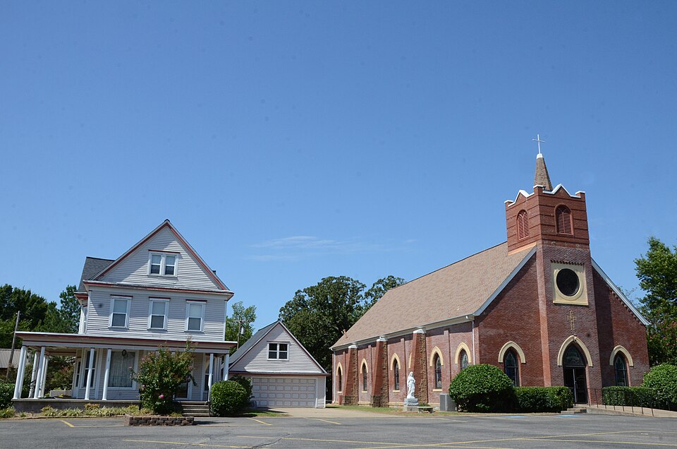
| April 2022 | Thunderstorm Wind | Wilburton | $25,000 | A shallow vortex, known as a gustnado, developed along the leading edge of thunderstorm outflow and damaged the roof of a church, snapped large tree limbs, and blew down a power pole. This vortex was recorded by a security camera. |
| June 2007 | Hail | Wilburton | $25,000 | no account filed |
| July 2002 | Lightning | Wilburton | $20,000 | Lightning struck a home and started a fire in the attic. Heavy smoke and water damage were common throughout the home. Six firefighters suffered heat exhaustion and smoke inhalation and two were admitted to the hospital. |
| September 2001 | Flash Flood | Wilburton | $20,000 | Heavy thunderstorm rains caused major street flooding which stalled and stranded several vehicles. Later in the evening water from an overflowing stream surrounded a house at the depth of two feet. |
| May 1997 | Tornado (F1) | Wilburton | $15,000 | no account filed |
| July 2006 | Thunderstorm Wind | Wilburton | $10,000 | Thunderstorm winds estimated at 70 miles an hour blew the canopy off a gas station and blew down numerous trees. |
| June 2005 | Thunderstorm Wind | Wilburton | $10,000 | Thunderstorm winds estimated at 60 miles an hour blew down power lines. |
| June 2023 | Thunderstorm Wind | Wilburton | $5,000 | Strong thunderstorm wind blew down several light poles, and snapped large tree limbs. |
| April 2012 | Thunderstorm Wind | Wilburton | $5,000 | Strong thunderstorm wind blew down several trees and power lines. |
| April 2004 | Thunderstorm Wind | Wilburton | $5,000 | Thunderstorm winds estimated at 60 miles an hour did some minor damage to roofs of a few houses and damaged some tin attached to barns. |
| June 2004 | Thunderstorm Wind | Wilburton | $5,000 | Thunderstorm winds estimated at 70 miles an hour blew down trees and power lines. |
| June 2003 | Thunderstorm Wind | Wilburton | $5,000 | Thunderstorm winds estimated at 70 miles an hour blew sheet metal off the roof of a barn near a rural residence west of Wilburton. |
| May 2001 | Thunderstorm Wind | Wilburton | $3,000 | A trained spotter reported a 70 mile an hour wind gust with what appeared to be a rear flank downdraft associated with a supercell thunderstorm. Damage to power poles and street signs was observed. |
| June 1996 | Thunderstorm Wind | Wilburton | $3,000 | no account filed |
| April 2020 | Thunderstorm Wind | Wilburton | $2,000 | Strong thunderstorm wind uprooted a tree and blew the roof from a carport. |
| July 2016 | Thunderstorm Wind | Wilburton | $2,000 | Strong thunderstorm wind blew down trees and power lines west of town. |
| May 2015 | Thunderstorm Wind | Wilburton | $2,000 | Numerous trees and some power lines were blown down by strong thunderstorm wind. |
| October 1997 | Thunderstorm Wind | Wilburton | $2,000 | no account filed |
| August 2006 | Thunderstorm Wind | Wilburton | $1,000 | Thunderstorm winds estimated at 60 miles an hour blew down power lines. The city of Wilburton was without power. |
| April 2003 | Thunderstorm Wind | Wilburton | $1,000 | Thunderstorm winds estimated at 60 miles an hour blew over a large fuel tank at Robbers Cave State Park. |
| May 2002 | Thunderstorm Wind | Wilburton | $1,000 | Thunderstorm winds estimated at 70 miles an hour blew a tree and power pole down. |
| April 2000 | Thunderstorm Wind | Wilburton | $500 | Thunderstorm winds blew several trees down. |
| April 1999 | Thunderstorm Wind | Wilburton | $500 | Several trees were blown down in Wilburton. |
| March 1998 | Thunderstorm Wind | Wilburton | $500 | Tree limbs down on power lines |
| May 1999 | Thunderstorm Wind | Wilburton | $200 | Numerous tree limbs were blown down in Robbers Cave State Park. |
| February 2001 | Thunderstorm Wind | Wilburton | $100 | Thunderstorm winds blew down a large sign. |
| May 2001 | Thunderstorm Wind | Wilburton | $100 | Thunderstorm winds blew down several large tree limbs at Robbers Cave State Park. |
| May 2001 | Thunderstorm Wind | Wilburton | $100 | Thunderstorm winds blew down trees. |
| May 2001 | Thunderstorm Wind | Wilburton | $100 | Thunderstorm winds blew down a large tree. |
| December 1999 | Thunderstorm Wind | Wilburton | $100 | Thunderstorm winds blew a tree down. |
| May 1997 | Thunderstorm Wind | Wilburton | $100 | no account filed |
| May 1997 | Thunderstorm Wind | Wilburton | $100 | no account filed |
| October 1997 | Thunderstorm Wind | Wilburton | $100 | no account filed |
| June 1996 | Thunderstorm Wind | Wilburton | $100 | no account filed |
| May 2025 | Flash Flood | Wilburton | - | Highway 270 was closed between Highway 2 and Highway 271 due to flooding. |
| July 2020 | Thunderstorm Wind | Wilburton | - | Strong thunderstorm wind snapped large tree limbs. |
| June 2017 | Thunderstorm Wind | Wilburton | - | Thunderstorm wind gusts were measured to 65 mph. |
| June 2017 | Flash Flood | Wilburton | - | Portions of several roads were flooded in Wilburton and Panola. |
| July 2016 | Thunderstorm Wind | Wilburton | - | Strong thunderstorm wind blew down numerous large tree limbs. |
| March 2012 | Flash Flood | Wilburton | - | Very heavy rainfall resulted in numerous roads becoming flooded across the western portion of the county. |
| June 2012 | Thunderstorm Wind | Wilburton | - | Strong thunderstorm wind blew down trees and large tree limbs on the west side of town. |
| May 2011 | Flash Flood | Wilburton | - | Law enforcement reported several roads across the county were closed due to high water. |
| March 2008 | Flash Flood | Wilburton | - | Heavy rain caused water to flow over Highway 270 east of Wilburton. In addition, secondary roads were flooded across a large part of the county. |
| March 2008 | Flash Flood | Wilburton | - | Heavy rain caused several roads across the northern part of Latimer County to be closed due to high water. |
| May 2008 | Tornado (EF0) | Wilburton | - | A storm chaser filmed a tornado northwest of town. It occurred in a remote area of the county, and thus a ground survey could not be conducted. |
| June 2007 | Flash Flood | Wilburton | - | Heavy thunderstorms rains caused a few roads in and around Wilburton to be flooded. |
| July 2007 | Flash Flood | Wilburton | - | Heavy rain caused several secondary roads in the vicinity of Wilburton to be flooded and impassable. |
| May 2007 | Flash Flood | Wilburton | - | Heavy thunderstorm rains caused a county road to be flooded. |
| April 2005 | Hail | Wilburton | - | Nickel size hail fell at Robber's Cave State Park. |
| June 2005 | Thunderstorm Wind | Wilburton | - | Thunderstorm winds estimated at 70 miles an hour blew down trees at Robbers Cave State Park. |
| March 2004 | Thunderstorm Wind | Wilburton | - | Thunderstorm winds estimated at 70 miles an hour blew down a tree. |
| June 2004 | Thunderstorm Wind | Wilburton | - | The Oklahoma mesonet site near Wilburton recorded a 63 mile an hour wind gust. |
| June 2004 | Thunderstorm Wind | Wilburton | - | Thunderstorm winds estimated at 60 miles an hour blew large tree limbs down. |
| May 2003 | Hail | Wilburton | - | Baseball size hail fell in Wilburton. Damage was done to roofs, windows and cars. An estimate of the dollar amount of the damage was unavailable. |
| May 2003 | Thunderstorm Wind | Wilburton | - | Thunderstorm winds estimated at 60 miles an hour blew down several large tree limbs. |
 Block