 Block
From the record
20 National Register listings published here.
Sources: the National Register database, National Park Service
68 topographic sheets and 10 fire insurance atlases across 2 places.
20 National Register listings published here.
Sources: the National Register database, National Park Service
Every property in this county listed on the National Register of Historic Places, with the year it was listed and the federal nomination document.
| Photograph | Property | Type | Listed | Reference |
|---|---|---|---|---|
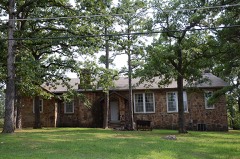 | Administration Building | building | 2010 | 10000626 |
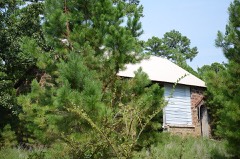 | Ash Creek School | building | 1988 | 88001392 |
| Bowers School | building | 1988 | 88001393 | |
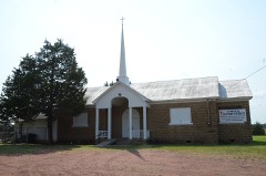 | Cambria School | building | 1988 | 88001394 |
 | Colony Park Pavilion | structure | 1988 | 88001395 |
 | Cupco Church | building | 1980 | 80003273 |
| Degnan School | building | 1988 | 88001396 | |
| Eastern Oklahoma Tuberculosis Sanatorium | district | 2011 | 10001008 | |
 | Edwards Store | building | 1972 | 72001069 |
| Edwards-Hardaway Homestead and Cemetery | building | 2021 | 100007234 | |
| Great Western Coal and Coke Company Building | building | 1980 | 80003268 | |
| Great Western Coal and Coke Company Mine No. 3 | site | 1980 | 80003269 | |
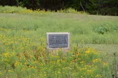 | Holloway's Station | site | 1972 | 72001070 |
 | Mitchell Hall | building | 1980 | 80003270 |
| Panola High School and Gymnasium | building | 1988 | 88001397 | |
| Pusley's Station | site | 1972 | 72001068 | |
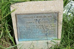 | Riddle's Station Site | site | 1972 | 72001072 |
 | Robbers Cave State Park | district | 2002 | 96000489 |
 | Rosenstein Building | building | 1980 | 80003271 |
 | Sacred Heart Catholic Church and Rectory | building | 1980 | 80003272 |
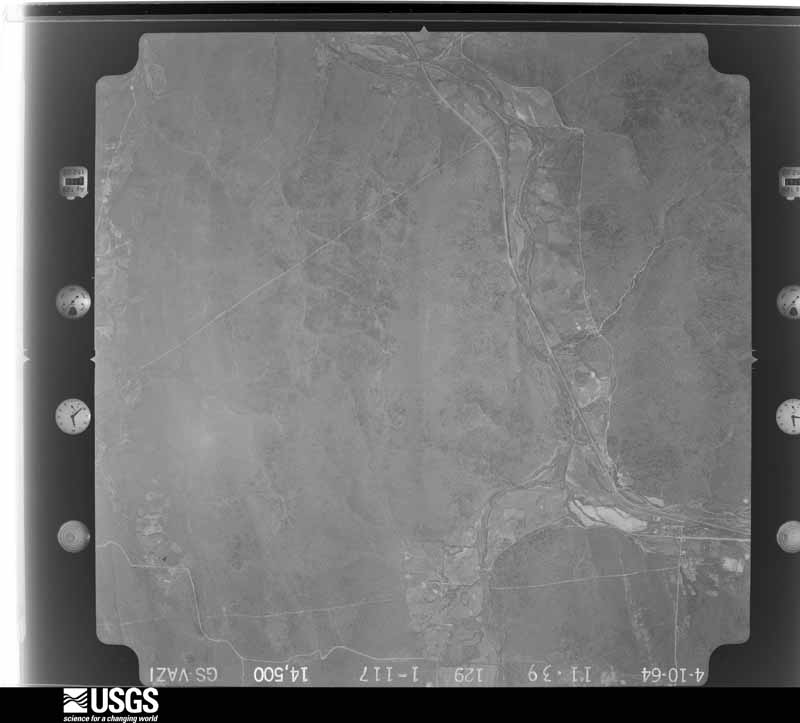
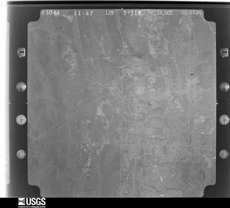
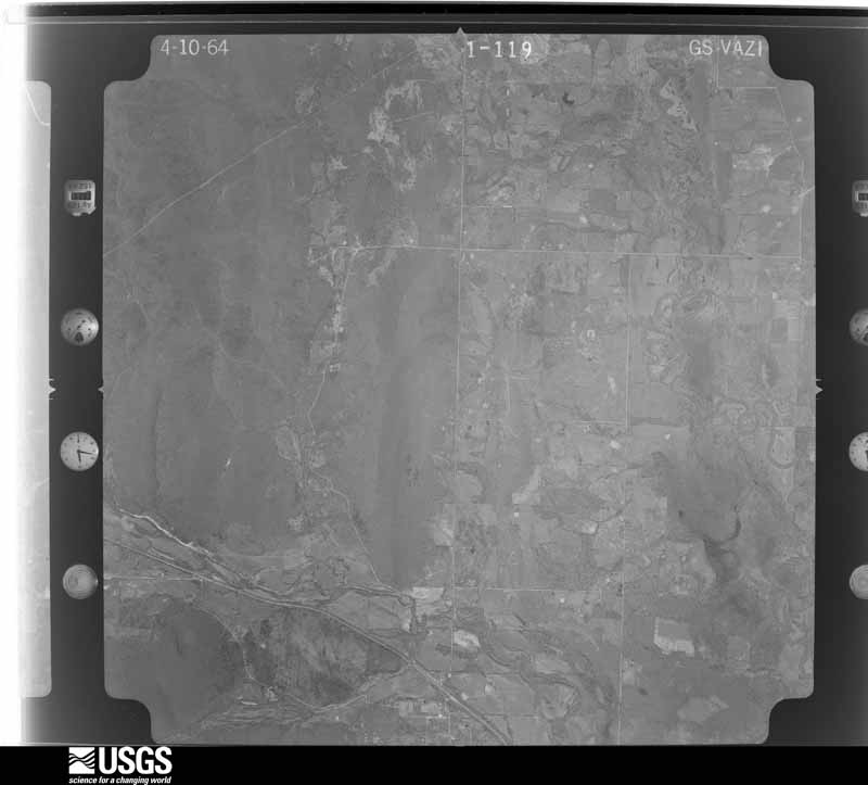
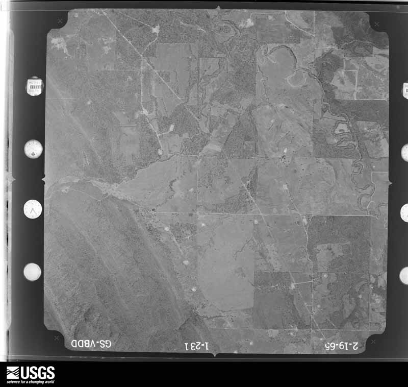
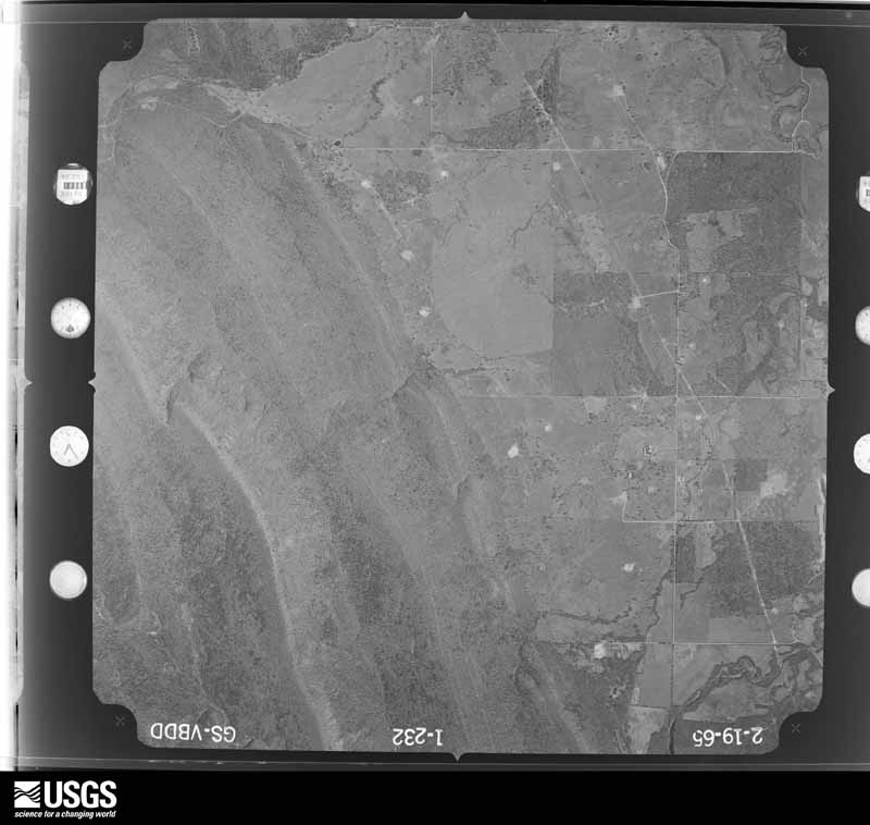
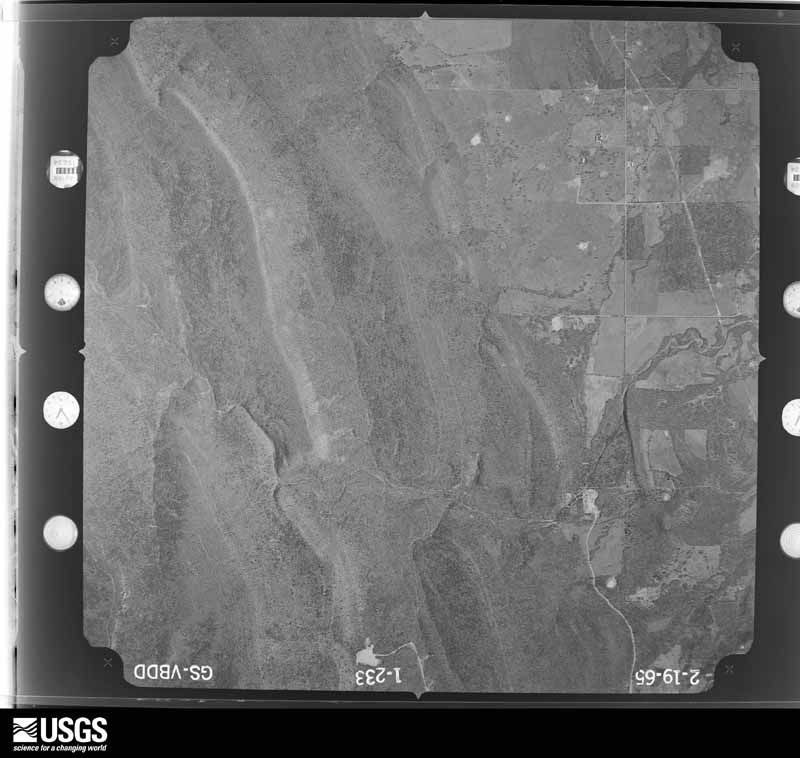
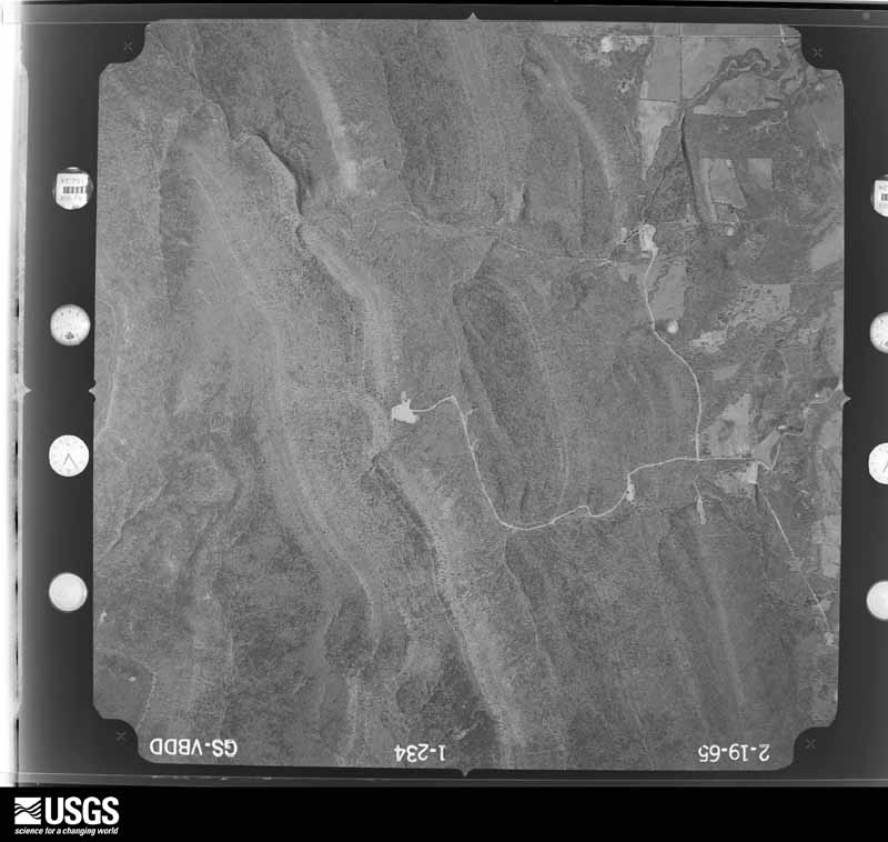
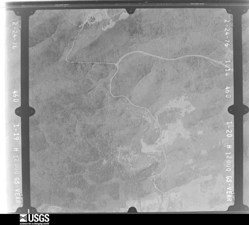
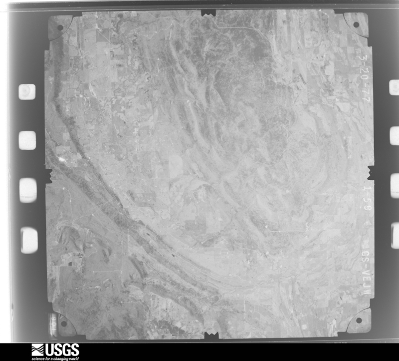
Flown by the U.S. Geological Survey between 1937 and 1989, the Aerial Photo Single Frames collection is the definitive mid-century view of the land: fields, roads and rivers as the camera saw them. The Survey holds 590 frames inside the rectangle that bounds this county; the 28 frames below were taken over the county itself, chosen across the decades of flights (at most four a year from that rectangle), so one flight cannot crowd out the rest. The full set is free to browse and download at EarthExplorer under the dataset Aerial Photo Single Frames.



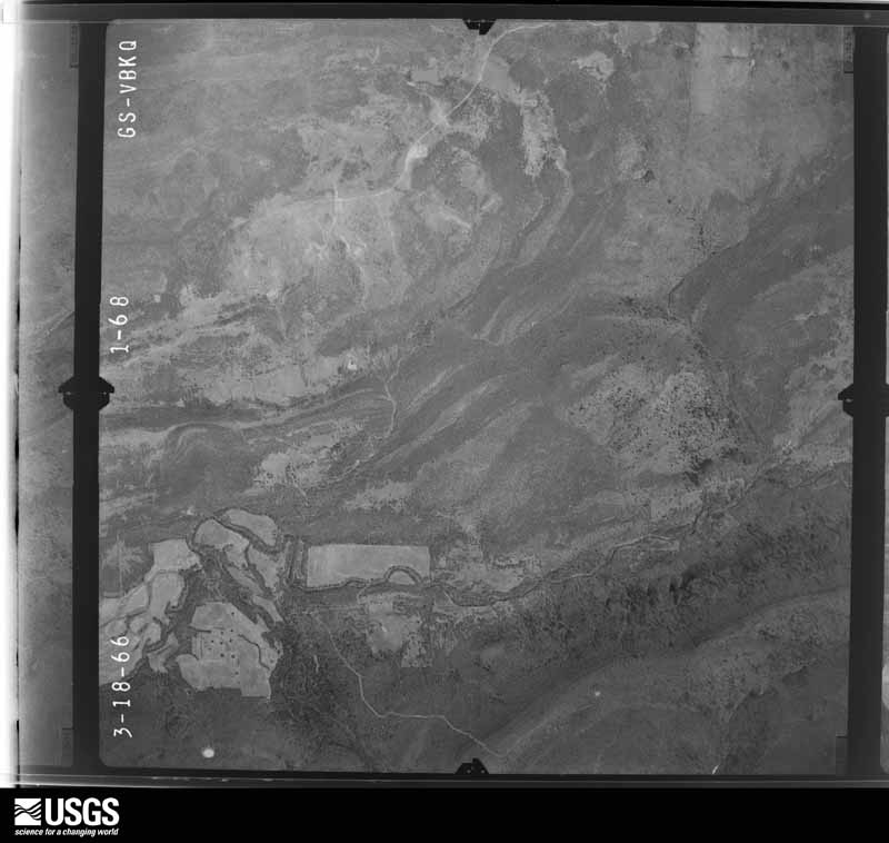
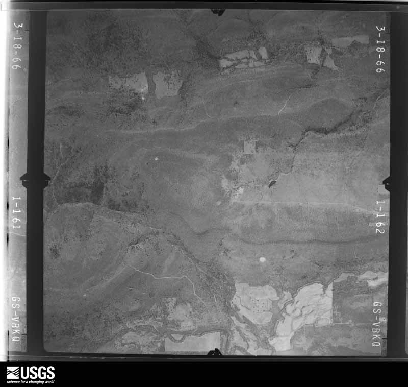






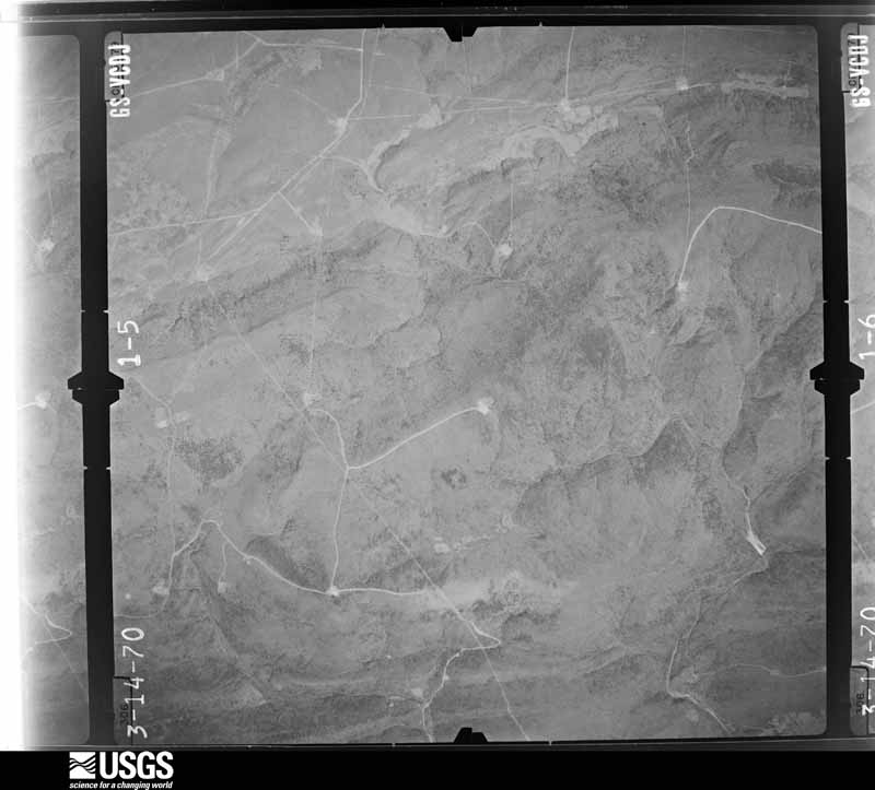
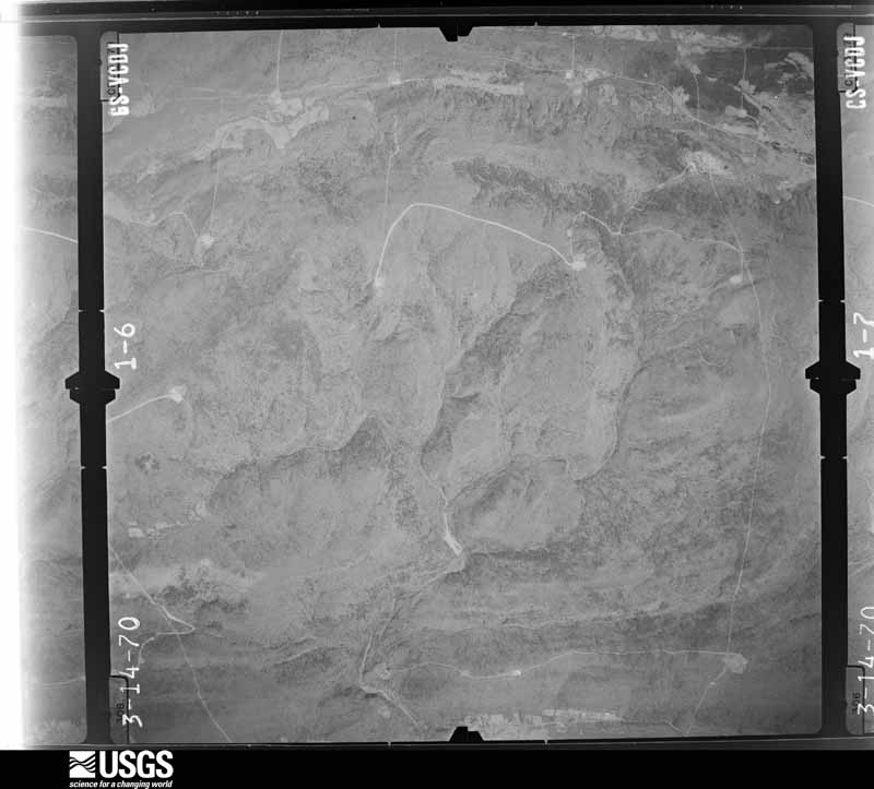






The thermometers that kept this county's weather, and the gages that measured the flow of its streams, as the federal records hold them. The extremes below are measured values from those records, not estimates.
Who lived here in 1950, one enumeration district at a time, as the Census Bureau described each district. Each row opens its official National Archives result, with Population Schedules and ED Maps available there.
Every wildfire the federal occurrence database records inside this county: 3,303 of them, burning about 217,482 acres. 73 started naturally and 1,432 were recorded as arson. Each settlement page carries the fires within five miles of it.
| Reported cause | Fires |
|---|---|
| Arson/incendiarism | 1432 |
| Missing data/not specified/undetermined | 1014 |
| Debris and open burning | 501 |
| Equipment and vehicle use | 133 |
| Natural | 73 |
| Recreation and ceremony | 65 |
| Smoking | 41 |
| Misuse of fire by a minor | 22 |
| Railroad operations and maintenance | 19 |
| Power generation/transmission/distribution | 2 |
| Fireworks | 1 |
The five largest, by the area the report gives. 6 of them were set deliberately.
| Date | Cause | Size | Reported by | Name on the report |
|---|---|---|---|---|
| 19 February 2016 | Arson/incendiarism | 10,436 acres | Oklahoma Division of Forestry | not named |
| 18 February 2016 | Arson/incendiarism | 5,540 acres | Oklahoma Division of Forestry | not named |
| 1 April 2003 | Missing data/not specified/undetermined | 4,080 acres | Oklahoma Division of Forestry | HAIRPIN CURVE FIRE |
| 23 February 1995 | Missing data/not specified/undetermined | 3,920 acres | Oklahoma Division of Forestry | not named |
| 31 January 2011 | Arson/incendiarism | 3,600 acres | Oklahoma Division of Forestry | 20046 |
| 23 March 2018 | Arson/incendiarism | 2,700 acres | Oklahoma Division of Forestry | not named |
| 8 March 2013 | Arson/incendiarism | 2,100 acres | Talihina Agency | BIG HIGH TOP |
| 23 March 2004 | Arson/incendiarism | 1,920 acres | Oklahoma Division of Forestry | SPLIT FIRE #2 |
Every settlement page carries the fires within five miles of it - see the settlement index below.
The NOAA Storm Events Database holds 440 reports for this county, causing 14 deaths, 109 injuries and about $11,024,900 in recorded property damage. Each settlement page carries the reports that name it.
| Kind of event | Reports |
|---|---|
| Hail | 194 |
| Thunderstorm Wind | 162 |
| Flash Flood | 45 |
| Tornado | 31 |
| Flood | 4 |
| Lightning | 3 |
| Funnel Cloud | 1 |
The most serious of them, by death, then injury, then recorded damage. The accounts are quoted exactly as the forecast office filed them.
| When | Event | Place named | Harm | What the report says |
|---|---|---|---|---|
| May 1960 | Tornado (F4) | not stated | 13 killed, 100 hurt, $2,500,000 | no account filed |
| April 2017 | Flash Flood | Drumb | 1 killed | Several roads west of Wilburton were flooded. Highbridge Road was severely flooded at Beaver Creek. A woman drove into flood waters there, was washed downstream, and drowned. |
| May 2008 | Tornado (EF2) | Higgins | 4 hurt, $1,000,000 | This tornado continued from Pittsburg County. As it moved into Latimer County, the tornado destroyed a double-wide mobile home, severely damaged another home and barn, and rolled an F350 pickup truck about 50 yards. Numerous trees were snapped or uprooted as the tornado approached Yanush. In Yanush, about 50 homes were damaged, eight of those were destroyed along with one business. Numerous sheds, barns, and outbuildings were destroyed. Numerous trees and power lines were blown down. |
| December 1975 | Tornado (F2) | not stated | 3 hurt, $2,500,000 | no account filed |
| May 1992 | Tornado (F2) | not stated | 1 hurt, $250,000 | no account filed |
| April 1968 | Tornado (F1) | not stated | 1 hurt, $25,000 | no account filed |
| May 1960 | Tornado (F4) | not stated | $2,500,000 | no account filed |
| November 1988 | Tornado (F1) | not stated | $250,000 | no account filed |
| April 1984 | Tornado (F1) | not stated | $250,000 | no account filed |
| March 1976 | Tornado (F4) | not stated | $250,000 | no account filed |
| May 2015 | Tornado (EF2) | Veterans Colony | $100,000 | A tornado damaged several homes, severely damaged a metal-framed outbuilding, damaged an oil drilling platform, destroyed barns and outbuildings, damaged the Cravens VFD building, and snapped or uprooted numerous trees. Based on this damage, estimated maximum wind in the tornado was 115 to 125 mph. |
| April 2009 | Tornado (EF0) | Damon | $100,000 | A tornado damaged a gas compressor station, damaged several homes, and damaged numerous trees. Several citizens viewed and photographed the tornado. |
| May 2006 | Lightning | Red Oak | $100,000 | Lightning struck a home and caused a fire. The fire destroyed the house. |
| January 2000 | Thunderstorm Wind | Wilburton | $80,000 | Thunderstorm winds damaged several buildings and blew down trees across a large part of eastern Latimer County between Wilburton and Red Oak including the community of Cravens.One business in Wilburton known as The Auction House had its roof blown off and a few neighboring businesses had their plate glass windows broken. Throughout the county one mobile home and three barns were destroyed and five mobile homes and twelve barns were damaged. Numerous trees were blown down onto roads throughout the east part of the county including in the cities of Wilburton and Red Oak. |
| May 2025 | Tornado (EF1) | Cambria | $75,000 | This is the second segment of a two segment tornado. The tornado moved into Latimer County just south of Highway 1, and moved northeast across Highway 1, the 156th Road, and along the 136th Road, before turning more east and dissipating north of the 130th Road and east of Holson Road. In Latimer County, the tornado uprooted numerous trees, damaged or destroyed outbuildings, damaged homes, and snapped power poles. Based on this damage, maximum estimated wind in this segment of the tornado was 90 to 100 mph. |
| May 2016 | Thunderstorm Wind | Veterans Colony | $50,000 | Strong thunderstorm wind destroyed a barn and blew down a tree onto a house. |
| August 2001 | Lightning | Red Oak | $50,000 | Lightning struck a house near Red Oak. The resulting fire destroyed the home. |
| April 2000 | Hail | Wilburton | $50,000 | Baseball size hail fell and damaged several cars and roofs. |
| June 1999 | Thunderstorm Wind | Wilburton | $50,000 | A small-scale microburst in Wilburton caused minor damage to 20 homes and nine businesses. Two commercial buildings sustained major damage. This includes roofs that were blown off of a laundromat on OK Hwy 2 North and the Wilburton Veterans of Foreign Wars Building. Many trees were uprooted, and many power lines were blown down by the high winds. |
| April 2009 | Hail | Wilburton | $50,000 | no account filed |
| February 1999 | Thunderstorm Wind | Damon | $45,000 | Strong thunderstorm winds uprooted numerous trees which then fell onto homes, vehicles, outbuildings, and power lines. Snapped power lines caused a loss of power to areas south of Wilburton. There was substantial damage to two mobile homes and two permanent homes in the Damon Valley area about 5 miles south of Wilburton. At the home with the most damage, shingles were blown off the roof, an air conditioning unit was overturned, and falling trees destroyed two boats and two pickup trucks. Most other damage in the area was to storage buildings, barns, TV antennae, and numerous pine trees blown down. |
| April 2019 | Thunderstorm Wind | Bengal | $40,000 | Strong thunderstorm wind uprooted trees and blew down power lines. Two cabins were destroyed by large trees falling onto them. |
| May 1999 | Tornado (F1) | Panola | $40,000 | An F1 tornado touched down south of Panola and moved northeast to the Latimer-Haskell county line. Ths tornado continued to a point in extreme southern Haskell County about 2 miles south of Lequire. Near Panola, this tornado blew down large trees and power lines, and it caused roof damage. After Panola, the tornado primarily affected sparsely-populated hilly terrain. |
| November 1998 | Thunderstorm Wind | Wilburton Arpt | $40,000 | A hangar at the Wilburton Aiport had its sheet metal roof blown away. The winds moved the trailer of the airport groundskeeper off of its foundation. Winds also destroyed two ultra-light airplanes that were tied down, and two single-engine aircraft were also seriously damaged. A concession trailer was blown over. Just east of the airport near 3R and Ranch Road, another mobile home was moved from its foundation. |
| June 2023 | Thunderstorm Wind | Yanush | $35,000 | Thunderstorm wind resulted in at least $35,000 in damage to the utility infrastructure across the county during this severe thunderstorm. |
| November 1998 | Thunderstorm Wind | Wilburton | $30,000 | A barn was nearly destroyed and two mobile homes were damaged just south of Wilburton. Power poles were blown down in the vicinity of US Hwy 270 and Arkla Road. Downed limbs and trees had to be removed from streets in Wilburton. The Wilburton Pizza Hut caught fire 30 minutes following the storm, though it is unknown if the fire is related to the storm. |
| April 2026 | Hail | Bengal | $25,000 | Golf ball size hail damaged homes and vehicles. |
| April 2022 | Thunderstorm Wind | Wilburton | $25,000 | A shallow vortex, known as a gustnado, developed along the leading edge of thunderstorm outflow and damaged the roof of a church, snapped large tree limbs, and blew down a power pole. This vortex was recorded by a security camera. |
| January 2012 | Flash Flood | Red Oak | $25,000 | A road was washed out near NE 180 Road and NE 1188 Avenue. |
| April 2011 | Tornado (EF1) | Bengal | $25,000 | This is the first of two segments of this tornado. In Latimer County, this tornado damaged a home, severely damaged a barn, and snapped or uprooted a number of large trees. Maximum estimated wind in the tornado based on this damage was about 110 mph. The tornado continued into Le Flore County, Oklahoma. |
| March 2004 | Thunderstorm Wind | Red Oak | $25,000 | Thunderstorm winds estimated at 80 miles an hour destroyed a barn and damaged or destroyed three other equipment sheds. |
| June 2007 | Hail | Wilburton | $25,000 | no account filed |
| May 1986 | Tornado (F1) | not stated | $25,000 | no account filed |
| April 1957 | Tornado (F2) | not stated | $25,000 | no account filed |
| February 2023 | Hail | Gowen | $20,000 | Golf ball size hail damaged homes and vehicles. |
| April 2022 | Hail | Bengal | $20,000 | Ping pong ball size hail damaged homes and vehicles. |
| July 2002 | Lightning | Wilburton | $20,000 | Lightning struck a home and started a fire in the attic. Heavy smoke and water damage were common throughout the home. Six firefighters suffered heat exhaustion and smoke inhalation and two were admitted to the hospital. |
| September 2001 | Flash Flood | Wilburton | $20,000 | Heavy thunderstorm rains caused major street flooding which stalled and stranded several vehicles. Later in the evening water from an overflowing stream surrounded a house at the depth of two feet. |
| April 2009 | Hail | Panola | $20,000 | no account filed |
| June 2023 | Hail | Panola | $15,000 | Ping pong ball size hail damaged homes and vehicles. |
| December 2021 | Thunderstorm Wind | Panola | $15,000 | Strong thunderstorm wind damaged the roof of a mobile home. |
| April 2020 | Hail | Wilburton Arpt | $15,000 | Half dollar size hail damaged vehicles and the roofs of homes. |
| August 2008 | Thunderstorm Wind | Gowen | $15,000 | Thunderstorm winds estimated at 70 miles an hour damaged three outbuildings and blew down numerous large tree limbs. |
| May 1997 | Tornado (F1) | Wilburton | $15,000 | no account filed |
| November 1998 | Tornado (F0) | Red Oak | $11,000 | An F0 tornado destroyed a barn, blew shingles off roofs, and downed numerous trees/power poles near Boggy. |
| May 2015 | Tornado (EF1) | Bengal | $10,000 | This is the second segment of a two segment tornado. In Latimer County, this tornado snapped or uprooted trees and blew down power poles. Based on this damage, maximum estimated wind in this segment of the tornado was 95 to 105 mph. |
| August 2011 | Thunderstorm Wind | Wilburton Arpt | $10,000 | Strong thunderstorm wind flipped an airplane at Wilburton Municipal Airport. |
| March 2006 | Thunderstorm Wind | Red Oak | $10,000 | Thunderstorm winds estimated at 80 miles an hour blew down trees and power lines. Roofs of several buildings were damaged. |
| July 2006 | Thunderstorm Wind | Wilburton | $10,000 | Thunderstorm winds estimated at 70 miles an hour blew the canopy off a gas station and blew down numerous trees. |
| June 2005 | Thunderstorm Wind | Wilburton | $10,000 | Thunderstorm winds estimated at 60 miles an hour blew down power lines. |
| June 2004 | Thunderstorm Wind | Red Oak | $10,000 | Thunderstorm winds estimated at 70 miles an hour tore the roof off a mobile home near Cravens. |
| October 1998 | Flash Flood | Countywide | $10,000 | Several city and county roads near Wilburton were closed by high water. At least two vehicles in Wilburton were stranded by high water. Parts of US Hwy 270 were partially under water. |
| June 2024 | Thunderstorm Wind | Gowen | $5,000 | Strong thunderstorm wind damaged the roofs of homes. |
| June 2023 | Thunderstorm Wind | Wilburton | $5,000 | Strong thunderstorm wind blew down several light poles, and snapped large tree limbs. |
| June 2017 | Thunderstorm Wind | Panola | $5,000 | Strong thunderstorm wind damaged a barn in Panola, and snapped numerous large tree limbs across the county. |
| May 2015 | Thunderstorm Wind | Red Oak | $5,000 | A barn was damaged by strong thunderstorm wind. |
| April 2012 | Thunderstorm Wind | Wilburton | $5,000 | Strong thunderstorm wind blew down several trees and power lines. |
| July 2012 | Thunderstorm Wind | Gowen | $5,000 | Strong thunderstorm wind blew down power lines. |
| April 2004 | Thunderstorm Wind | Wilburton | $5,000 | Thunderstorm winds estimated at 60 miles an hour did some minor damage to roofs of a few houses and damaged some tin attached to barns. |
| June 2004 | Thunderstorm Wind | Wilburton | $5,000 | Thunderstorm winds estimated at 70 miles an hour blew down trees and power lines. |
The Survey's mineral resources record lists 12 workings inside this county. 1 still produces and 11 are closed or unrecorded. Each settlement page carries the workings within five miles of it.
| Commodity | Workings |
|---|---|
| Flagstone | 10 |
| Sand and Gravel, Construction | 2 |
The least common of them first, because a county's hundredth gravel pit says nothing its first ten did not.
| Where | Site | Commodity | Status | Recorded |
|---|---|---|---|---|
| Unknown Gravel Pit | Sand and Gravel, Construction | Past Producer | ||
| Unknown Gravel Pit | Sand and Gravel, Construction | Producer | ||
| Unknown Sandstone Pit | Flagstone | Past Producer | ||
| Unknown Sandstone Pit | Flagstone | Past Producer | ||
| Unknown Sandstone Pit | Flagstone | Past Producer | ||
| Unknown Sandstone Pit | Flagstone | Past Producer | ||
| Unknown Sandstone Pit | Flagstone | Past Producer | ||
| Unknown Sandstone Pit | Flagstone | Past Producer | ||
| Unknown Sandstone Pit | Flagstone | Past Producer | ||
| Unknown Sandstone Pit | Flagstone | Past Producer | ||
| Unknown Sandstone Pit | Flagstone | Past Producer | ||
| Unknown Sandstone Pit | Flagstone | Past Producer |
Named settlements recorded in the Geographic Names Information System, each with the topographic sheets covering it. Villages, hamlets and abandoned places alike. Each is shown with the nearest named watercourse or landform and the survey quadrangle it falls on. The 2 places that were also surveyed for fire insurance come first, with the number of atlases and photographs held for them.
Red Oak census division · 74563 · On Coal Creek · Red Oak quadrangle
19 sheets, 1901 to 1991
Fire insurance: 5 atlases
Wilburton census division · 74578 · On Cunneo Tubby Creek · Wilburton quadrangle
15 sheets, 1901 to 1991
Fire insurance: 5 atlases
South Latimer census division · 74966 · On West Fork Rock Creek · Talihina quadrangle
18 sheets, 1901 to 1991
Red Oak census division · 74563 · On Bear Creek · McCurtain SW quadrangle
15 sheets, 1900 to 1978
Red Oak census division · 74563 · Near Bull Hill · Red Oak quadrangle
19 sheets, 1901 to 1991
Red Oak census division · 74966 · On Turkey Creek · Leflore quadrangle
16 sheets, 1900 to 1989
Red Oak census division · 74563 · On McClure Creek · Lequire quadrangle
15 sheets, 1900 to 1978
Wilburton census division · 74578 · On Bandy Creek · Wilburton quadrangle
15 sheets, 1901 to 1991
Red Oak census division · 74563 · On Jefferson Creek · Leflore quadrangle
16 sheets, 1900 to 1989
19 topographic sheets and 5 fire insurance atlases, 1899 to 1913
15 topographic sheets and 5 fire insurance atlases, 1904 to 1925