 Block
From the record
One of 120 National Register listings published here for Marion County · listed in 1978 · category: Building.
Sources: the case file at the National Archives · the National Register database, National Park Service
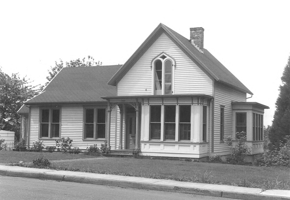
Listed on the National Register of Historic Places in 1978.
One of 120 National Register listings published here for Marion County · listed in 1978 · category: Building.
Sources: the case file at the National Archives · the National Register database, National Park Service
Regional context, not property-specific evidence. The federal wildfire occurrence database lists 1 fire within 5 miles of William Lincoln Wade House in 2017, burning under an acre in total. None started naturally. None was recorded as arson. Distance is straight-line from the map coordinates, so a fire counted here may appear on a neighbouring settlement's page as well.
| Reported cause | Fires |
|---|---|
| Equipment and vehicle use | 1 |
The most recent of them, most recent first, with the day each was reported and the service that recorded it.
| Date | Cause | Size | Reported by | Name on the report |
|---|---|---|---|---|
| 26 July 2017 | Equipment and vehicle use | under an acre | Oregon Department of Forestry Salem Headquarters | SPENCER BUTTE |
Regional context, not property-specific evidence. The federal mineral resources record lists 60 workings within 5 miles of William Lincoln Wade House: 33 past producers, 20 producers, 5 occurrences, 2 prospects. 20 still produce. What was taken out: Sand and Gravel, Construction, Aluminum, Uranium, Aluminum, Iron, Titanium, Metal. Distance is straight-line from the map coordinates, so a quarry counted here may appear on a neighbouring settlement's page as well.
| Where | Site | Commodity | Status | Recorded |
|---|---|---|---|---|
| Bauxite Chapman and Eola Hills | Aluminum, Titanium, Metal, Iron | Occurrence | Bauxite, Gibbsite | |
| Bauxite Prospect | Aluminum, Iron, Titanium, Metal | Occurrence | Bauxite | |
| Chapman and Eola Hills Bauxite | Aluminum, Titanium, Iron | Occurrence | ||
| Hills Quarry | Stone, Crushed/Broken | Producer | ||
| Illahee Hill | Vanadium | Prospect | ||
| Salem Hills Bauxite | Aluminum, Silica, Titanium, Iron, Water, Free, Phosphorus-Phosphates | Prospect | 1945 | |
| Illahee Hill | Uranium | Occurrence | ||
| Unnamed Uranium Occurrence | Uranium | Occurrence | ||
| Fowler Pit | Sand and Gravel, Construction | Past Producer | ||
| Fowler Pit | Sand and Gravel, Construction | Producer |
Regional context, not property-specific evidence. The National Weather Service names Salem, the town this property stands in, in 7 storm reports between 1996 and 2023: 3 funnel cloud, 2 thunderstorm wind, 1 tornado, 1 hail. No death or injury is recorded in these reports. Each account below is quoted exactly as the forecast office filed it, from the NOAA Storm Events Database, and each date opens the federal record of that event.
| When | Event | Place named | Harm | What the report says |
|---|---|---|---|---|
| April 1996 | Thunderstorm Wind | Salem | $20,000 | no account filed |
| June 2009 | Thunderstorm Wind | Salem | $2,000 | A report called in by a former spotter, strong gusty winds brought numerous trees down along Hwy. 22. Other reports from this storm included wind gusts strong enough to snap Cottonwood tree branches estimated at 10 to 12 inches in diameter along Hwy. 214. |
| June 2023 | Funnel Cloud | Salem | - | A National Weather Service Skywarn Spotter observed a funnel cloud south of Salem. |
| May 2007 | Hail | Salem | - | Reported residents estimated half an inch accumulations on the ground. |
| December 2006 | Tornado (F0) | Salem | - | Immediately after a thunderstorm with frequent lightning and small hail, a small tornado touched down. The tornado crossed an acre and a half of floodwater up to three feet deep and sucked all the water up into the funnel. The tornado continued on and picked up a 12-inch diameter cedar tree and tossed it into a barn. The tornado then changed direction and picked up an RV and threw it on its side. |
| October 2003 | Funnel Cloud | Salem | - | no account filed |
| June 2001 | Funnel Cloud | Salem | - | no account filed |
No historic map-sheet match is published for this property yet. That does not mean no map exists. This record needs a coordinate-quality review before it can be joined to a sheet boundary. Browse the county's mapped places while that work is pending.
Other National Register properties close enough to walk or drive between, ordered by distance from this one. Both positions come from the same geocoding pass that matched these properties to their map sheets.
| Photograph | Property | Distance | Listed |
|---|---|---|---|
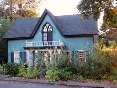 | David McCully House | under 500 feet | 1978 |
 | Dr. and Mrs. Charles G. Robertson House and Garden | 0.2 miles | 1983 |
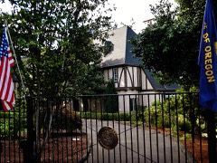 | T. A. Livesley House | 0.2 miles | 1990 |
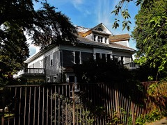 | Dr. William A. Cusick House | 0.2 miles | 1990 |
 | Curtis Cross House | 0.2 miles | 1981 |
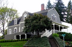 | Henry Fawk House | 0.3 miles | 1991 |
| National Archives record | The nomination case file for reference 78002303 in Record Group 79. |
| Marion County | All 120 listed properties in this county. |