Block
From the record
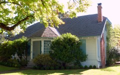
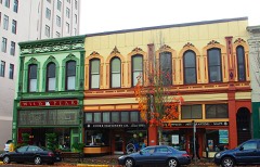
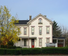
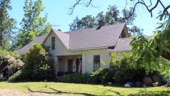
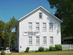
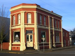
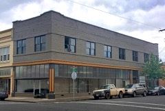
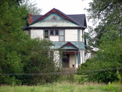
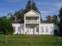
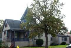
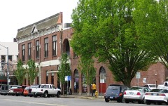
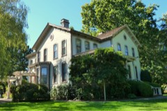
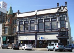
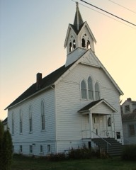
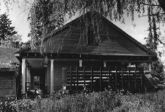
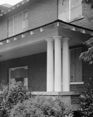
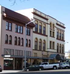
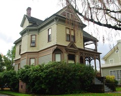
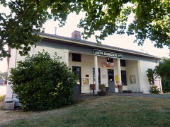
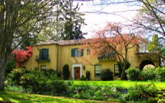
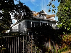
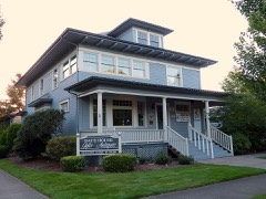
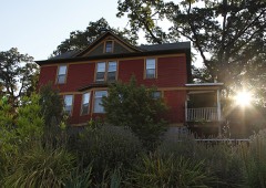
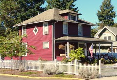
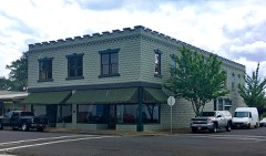
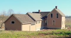
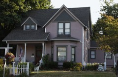
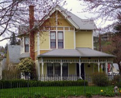
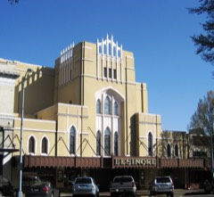
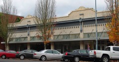
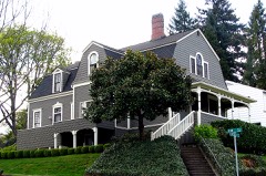
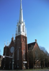
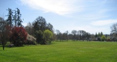
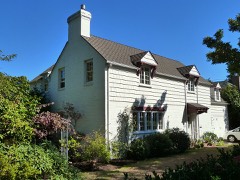
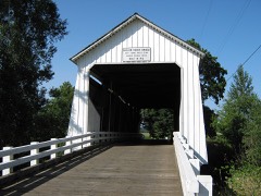
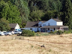
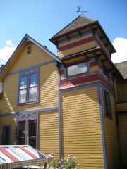
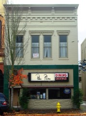
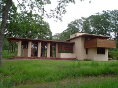
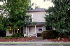
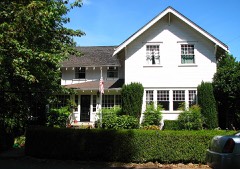
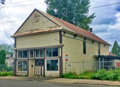
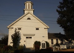
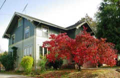
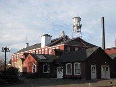
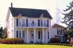
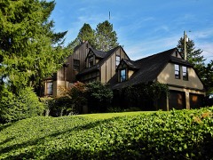
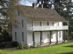
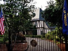
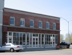
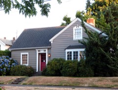
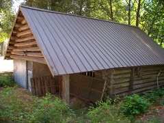
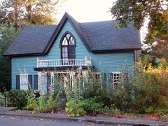
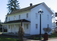
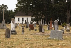
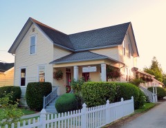
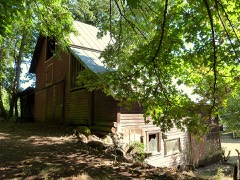
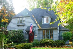
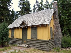
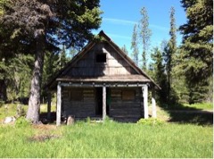
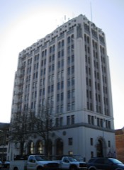
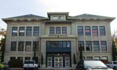
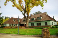
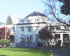
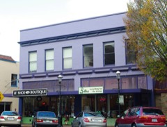
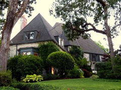
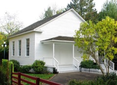
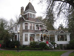
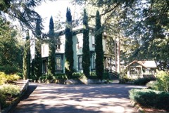
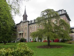
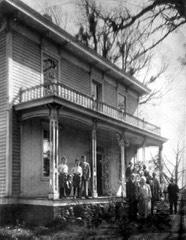
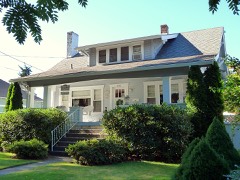
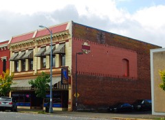
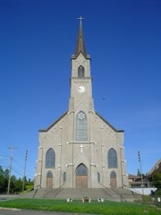
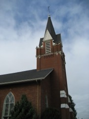
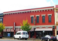
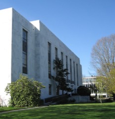
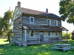
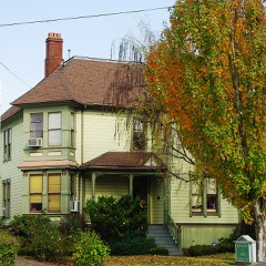
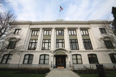
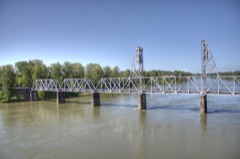
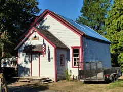
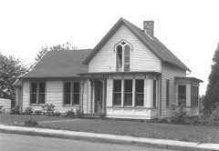
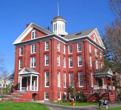
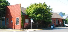
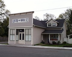
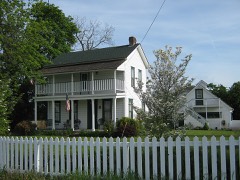
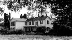
120 National Register listings published here.
Sources: the National Register database, National Park Service
180 topographic sheets cover 76 settlements here, and 120 properties are on the National Register of Historic Places.
120 National Register listings published here.
Sources: the National Register database, National Park Service
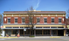
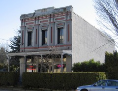
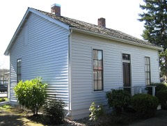
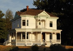
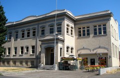
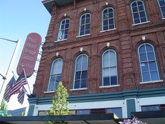
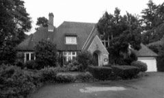
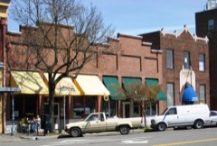
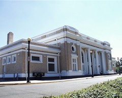
Every property in this county listed on the National Register of Historic Places, with the year it was listed and the federal nomination document.
Every wildfire the federal occurrence database records inside this county: 964 of them, burning about 217,102 acres. 266 started naturally and 27 were recorded as arson. Each settlement page carries the fires within five miles of it.
| Reported cause | Fires |
|---|---|
| Natural | 266 |
| Recreation and ceremony | 246 |
| Debris and open burning | 157 |
| Missing data/not specified/undetermined | 90 |
| Equipment and vehicle use | 75 |
| Smoking | 46 |
| Arson/incendiarism | 27 |
| Fireworks | 16 |
| Other causes | 15 |
| Power generation/transmission/distribution | 13 |
| Misuse of fire by a minor | 11 |
| Firearms and explosives use | 1 |
| Railroad operations and maintenance | 1 |
The five largest, by the area the report gives. None of them was recorded as arson.
| Date | Cause | Size | Reported by | Name on the report |
|---|---|---|---|---|
| 16 August 2020 | Missing data/not specified/undetermined | 193,573 acres | Willamette National Forest | BEACHIE CREEK |
| 23 July 2017 | Natural | 11,513 acres | Willamette National Forest | WHITEWATER |
| 18 August 2010 | Natural | 2,810 acres | Mt. Hood National Forest | BULL OF THE WOODS |
| 10 August 2017 | Natural | 2,171 acres | Willamette National Forest | LITTLE DEVIL - 184 |
| 26 August 2011 | Natural | 2,033 acres | Mt. Hood National Forest | MOTHER LODE |
| 19 August 2010 | Natural | 1,682 acres | Mt. Hood National Forest | PYRAMID |
| 28 August 2017 | Missing data/not specified/undetermined | 695 acres | Willamette National Forest | SCORPION |
| 23 August 2010 | Natural | 344 acres | Willamette National Forest | DINAH-MO PEAK |
Every settlement page carries the fires within five miles of it - see the settlement index below.
The NOAA Storm Events Database holds 84 reports for this county, causing no deaths, 5 injuries and about $6,762,700 in recorded property damage. Each settlement page carries the reports that name it.
| Kind of event | Reports |
|---|---|
| Flood | 23 |
| Heavy Rain | 18 |
| Funnel Cloud | 13 |
| Tornado | 11 |
| Thunderstorm Wind | 10 |
| Hail | 5 |
| Lightning | 3 |
| Wildfire | 1 |
The most serious of them, by death, then injury, then recorded damage. The accounts are quoted exactly as the forecast office filed them.
| When | Event | Place named | Harm | What the report says |
|---|---|---|---|---|
| June 1990 | Thunderstorm Wind | not stated | 3 hurt | no account filed |
| December 2010 | Tornado (EF2) | Aumsville | 2 hurt, $1,200,000 | On December 14th at 11:40 AM PST, a tornado with an Enhanced Fujita Scale rating of EF2 moved northeast across the community of Aumsville, Oregon. The estimated length of the tornado path was 5 miles with a width of 150 yards. There were two minor injuries, fifty structures damaged, more than thirty large trees blown down or snapped off, five sheds damaged and two semi-trailers tipped over. The estimated value of the damage was $1.2 million. |
| August 2001 | Wildfire | Breitenbush | $4,300,000 | A lightning started wildfire burned 2719 acres in the Mt Hood National Forest in the area of Olallie Lake. Total cost of fighting the fire was $4.3 million. No buildings were lost and there were no injuries or deaths. |
| January 2012 | Flood | Orville | $1,000,000 | Heavy rain caused the Willamette River at Salem to overflow its banks and flood low lying areas. The Willamette River crested at 29.4 feet on January 20th at 8 pm PST, 1.4 feet above flood stage. |
| May 2014 | Lightning | Woodburn | $75,000 | Multiple sources reported that lightning struck a residence in Woodburn, OR on the Oregon Golf Association Golf Course causing a significant fire. The second floor of the home was completely destroyed. |
| October 2017 | Tornado (EF0) | Aurora Arpt | $40,000 | The tornado started on Boones Ferry Rd NE, west of the Aurora airport. Greenhouses in the area sustained damage, and the tornado continued to travel east across the airport property. Two planes were flipped at Willamette Aviation Services. The tornado ended near Airport Rd NE. |
| October 2022 | Tornado (EF0) | West Woodburn | $25,000 | A weak tornado occurred in rural Woodburn, confirmed by video and supported by damage photos obtained from the public. Rated EF-0 with winds estimated between 61-74 mph. Damage to two residential properties. |
| May 1998 | Lightning | Woodburn | $25,000 | no account filed |
| November 1991 | Tornado (F0) | not stated | $25,000 | no account filed |
| April 1996 | Thunderstorm Wind | Salem | $20,000 | no account filed |
| March 2008 | Thunderstorm Wind | Woodburn | $15,000 | A strong wind gust toppled a 60 foot tree, which was approximately a foot to a foot and a half in diameter. The tree fell on a car, trapping a man inside. The man was later helped out of the car, and no injuries were reported. |
| May 1997 | Tornado (F0) | Keizer | $15,000 | A tornado touched down near Chemawa Road and Highway 99 near Keizer at 1010 AM. Several people reported seeing the tornado on the ground for about 2 minutes. Three 30-40 foot tall trees were uprooted and a barn was damaged. |
| September 1997 | Tornado (F0) | Turner | $10,000 | A tornado caused minor damage to fences windows and trees in a rural subdivision near Turner. |
| July 2008 | Lightning | Aurora | $5,000 | A lightning strike damaged electrical and computer equipment at a sewage treatment plant, causing a back-up in sewage treatment and discharge, as well as extensive damage. |
| March 1960 | Tornado (F1) | not stated | $2,500 | no account filed |
| September 2020 | Thunderstorm Wind | (Sle)Mcnary Fld Sale | $2,000 | A 6-8 inch diameter tree branches blown down. |
| June 2009 | Thunderstorm Wind | Salem | $2,000 | A report called in by a former spotter, strong gusty winds brought numerous trees down along Hwy. 22. Other reports from this storm included wind gusts strong enough to snap Cottonwood tree branches estimated at 10 to 12 inches in diameter along Hwy. 214. |
| September 2020 | Thunderstorm Wind | St Paul | $1,000 | Report of several small to medium size tree branches blown down. |
| October 2018 | Tornado (EF0) | Jefferson | $200 | There was damage to multiple small shrubby trees just north of the railroad track along Libby Ln. There was also a sign knocked over at the NW corner of Libby Ln and Jefferson-Marion Rd, but whether or not it was caused by a tornado could not be determined. The tornado was likely on the ground for one minute or less. |
| April 2025 | Funnel Cloud | St Benedict | - | Received pictures from the public via email of a funnel cloud near Mount Angel the morning of April 21st. MRMS indicated weak/shallow convection in the area around the time of the report. |
| February 2025 | Flood | Aurora | - | Pudding River at Aurora. Reached minor flood (22 ft) 2/25 2300 PST. Peaked at 23.04 ft 2/26 at 1500. Fell below flood 2/28 midnight. |
| January 2024 | Flood | Hito | - | Heavy rain caused minor flooding along the Pudding River near Aurora. |
| June 2023 | Funnel Cloud | Salem | - | A National Weather Service Skywarn Spotter observed a funnel cloud south of Salem. |
| September 2023 | Hail | Scotts Mills | - | Public report of 1 inch hail. No known report of damage. Duration of event estimated from radar. |
| March 2022 | Funnel Cloud | Turner | - | Report of funnel cloud about 1 mile north of Turner, Oregon. Location and track of funnel cloud estimated. |
| December 2020 | Flood | Jefferson | - | The gage on the Santiam River at Jefferson (JFFO3) crested at 15.3 feet. Flood stage is 15.0 feet. No damage was reported. |
| September 2020 | Hail | Sublimity | - | Hail up to the size of pennies accumulated up to 2 inches deep on the ground. |
| September 2020 | Heavy Rain | Jefferson | - | Lots of precipitation. |
| September 2020 | Heavy Rain | Sublimity | - | Lots of rain fall from the public. |
| September 2020 | Heavy Rain | Silver Falls City | - | A CoCoRaHS report of significant rainfall. |
| September 2020 | Heavy Rain | Quinaby | - | This is an 8 hour rainfall total. |
| September 2020 | Heavy Rain | Roberts | - | Station AU762 in Salem. |
| April 2019 | Flood | Aurora | - | The Pudding River at Aurora crested at 22.7 feet around 4 AM on April 11th, which is 0.7 foot above flood stage. |
| April 2019 | Flood | Jefferson | - | The Santiam River at Jefferson crested at 15.8 feet around 11 PM on April 8th, which is 0.8 foot above flood stage. |
| December 2018 | Funnel Cloud | St Paul | - | A small funnel cloud was reported southeast of Dundee and a picture was relayed to the National Weather Service by KGW-TV. |
| February 2017 | Flood | Aurora | - | Heavy rain caused the Pudding River near Aurora to flood. The river crested at 24.16 feet, which is 2.16 feet above flood stage. |
| April 2015 | Funnel Cloud | Aumsville | - | A Funnel cloud was reported over Evergreen Estates near the corner of 11th Street and Evergreen Court. |
| May 2015 | Funnel Cloud | Aumsville | - | A member of the public reported a funnel in Aumsville around 8 pm. |
| September 2015 | Funnel Cloud | Jefferson | - | A Funnel Cloud was spotted by a driver driving on I-5 around noon. |
| October 2014 | Funnel Cloud | Gervais | - | A couple of people reported a cold core funnel cloud between Woodburg and Gervais, OR around 145 pm. Some damage was reported in this area around the same time, but a NWS storm survey determined the damage was more consistent with straight line wind damage than from a funnel cloud. |
| February 2014 | Flood | Aurora | - | The Pudding River at Aurora reached flood stage at 1130 AM on February 16th 2014. The river crested at 22.4 feet at 500 AM on February 17th, and fell below flood level at 930 AM PST on February 18th. |
| January 2012 | Flood | Roberts | - | Widespread low-land flooding occurred in Marion County, resulting in considerable flood damage to homes in southeast Salem and Turner. Residents of 300 homes in Turner had to be evacuated, including 90 residents of the Turner Retirement Home. |
| January 2011 | Flood | Jefferson | - | Heavy rain combined with snowmelt runoff to produce flooding on the Santiam River. The Santiam River at Jefferson crested at 15.4 feet on January 17th at 04:27 PST. |
| January 2011 | Flood | Aurora | - | Heavy rain combined with snowmelt runoff to produce flooding on the Pudding River. The Pudding River at Aurora crested at 23.3 feet on January 19th at 13:30 PST. |
| January 2011 | Flood | Mehama | - | Heavy rain combined with snowmelt runoff to produce flooding on the North Santiam River. The North Santiam River near Mehama crested at 11.7 feet on January 16th at 17:00 PST. |
| December 2010 | Flood | Aurora | - | Heavy rainfall over the area caused the Pudding River to overflow its banks and flood farmland. |
| December 2010 | Flood | Aurora | - | Heavy rainfall over the area caused the Pudding River to overtop its banks and flood farmland. |
| November 2009 | Funnel Cloud | (Sle)Mcnary Fld Sale | - | A funnel cloud was reportedly spotted over McNary Feild in Salem, but stayed aloft and never touched down. NWS WSR-88D Doppler radar indicated many convective showers around the area. |
| January 2009 | Flood | Aurora | - | Heavy rainfall over the area caused the Pudding River to overtop its banks and flood farmland. |
| January 2009 | Flood | Jefferson | - | Heavy rain caused the Santiam River near Jefferson to overflow its banks and flood low lying areas. |
| June 2007 | Funnel Cloud | (Sle)Mcnary Fld Sale | - | Reported by the Air Traffic Control Tower personnel, and dissipated shortly thereafter. |
| December 2007 | Heavy Rain | Detroit | - | Storm total precipitation was 6.39 inches at the Detroit Lake Agricultural Station. |
| December 2007 | Heavy Rain | Scotts Mills | - | Storm total precipitation was 5.40 inches. |
| December 2007 | Heavy Rain | Jefferson | - | Storm total precipitation was 4.58 inches. |
| January 2007 | Flood | Aurora | - | The Pudding River at Aurora crested at 21.9 feet on January 5th. Flood stage for this river is 22.0 feet. |
| May 2007 | Hail | Salem | - | Reported residents estimated half an inch accumulations on the ground. |
| December 2006 | Flood | Aurora | - | The Pudding River at Aurora crested at 22.1 feet on the 16th; flood stage for this river is 22.0 feet. |
| November 2006 | Heavy Rain | (Sle)Mcnary Fld Sale | - | Recorded a 5-day total of 5.0 inches. |
| December 2006 | Tornado (F0) | Salem | - | Immediately after a thunderstorm with frequent lightning and small hail, a small tornado touched down. The tornado crossed an acre and a half of floodwater up to three feet deep and sucked all the water up into the funnel. The tornado continued on and picked up a 12-inch diameter cedar tree and tossed it into a barn. The tornado then changed direction and picked up an RV and threw it on its side. |
| November 2006 | Flood | Jefferson | - | The Santiam River near Jefferson crested at 15.2 feet on November 7th, with flood stage at 15.0 feet. |
The Survey's mineral resources record lists 319 workings inside this county. 72 still produce and 247 are closed or unrecorded. Each settlement page carries the workings within five miles of it.
| Commodity | Workings |
|---|---|
| Sand and Gravel, Construction | 112 |
| Clay | 57 |
| Stone | 41 |
| Stone, Crushed/Broken | 28 |
| Copper | 20 |
| Gold | 15 |
| Zinc | 10 |
| Aluminum | 9 |
| Silver, Lead, Gold | 4 |
| Silver | 4 |
| Copper, Zinc | 3 |
| Gold, Silver, Lead | 3 |
| Manganese | 3 |
| Zinc, Lead, Gold, Silver | 3 |
The least common of them first, because a county's hundredth gravel pit says nothing its first ten did not.
| Where | Site | Commodity | Status | Recorded |
|---|---|---|---|---|
| 30-Acre Ranch | Iron, Titanium, Metal, Aluminum | Occurrence | Bauxite | |
| Bimetallic and Goldbug | Copper, Zinc, Silver, Gold | Prospect | ||
| Blende Oro | Zinc, Lead, Gold, Silver, Copper | Occurrence | Chalcopyrite, Galena, Pyrite, Sphalerite | |
| Blende Oro Claims | Zinc, Gold, Copper, Lead, Silver | Prospect | ||
| Blue Jay Mine | Zinc, Silver, Lead, Gold, Copper | Past Producer | ||
| Bornite Project | Copper, Gold | Past Producer | ||
| Breitenbush Hot Springs | Geothermal | Occurrence | ||
| Capital Claims | Gold, Zinc, Silver, Copper, Lead | Past Producer | ||
| Capitol Claims | Gold, Silver, Zinc, Lead, Copper | Producer | Chalcopyrite, Galena, Pyrite, Sphalerite | |
| Crown Mine | Zinc, Gold, Copper, Silver | Occurrence | Chalcopyrite, Chrysocolla, Malachite, Pyrite, Sphalerite | |
| Entress Farm | Titanium, Metal, Aluminum, Iron | Occurrence | Bauxite | |
| Entress Farm | Aluminum, Clay, Iron, Titanium | Occurrence | ||
| Gold Creek Mining & Milling Co. | Copper, Zinc, Silver, Lead, Gold | Prospect | ||
| Illahee Hill | Vanadium | Prospect | ||
| Mineral Harbor Group | Lead, Zinc, Gold, Silver, Copper | Occurrence | Chalcopyrite, Galena, Pyrite, Sphalerite | |
| Mineral Harbor Group | Copper, Zinc, Gold, Lead, Silver | Prospect | ||
| Mother Lode Group | Copper, Silver, Gold, Lead | Occurrence | Chalcopyrite, Malachite | |
| North Santiam Copper | Copper, Molybdenum | Occurrence | Bornite, Chalcopyrite, Molybdenite, Pyrite | |
| North Santiam Copper | Copper, Molybdenum | Prospect | ||
| Russell-Ritter Mine | Gold, Silver, Manganese | Prospect | ||
| Ruth Mine | Copper, Gold, Lead, Silver, Zinc | Past Producer | 1896, 1930 | |
| Salem Bauxite Deposit | Aluminum, Titanium, Metal | Occurrence | Bauxite, Ilmenite | |
| Salem Hills Bauxite | Aluminum, Iron, Titanium, Metal, Lithium | Occurrence | 1945 | |
| Salem Hills Bauxite | Aluminum, Silica, Titanium, Iron, Water, Free, Phosphorus-Phosphates | Prospect | 1945 | |
| Santiam Copper Group | Copper, Silver, Gold, Zinc, Bismuth | Producer | Chalcopyrite, Pyrite, Sphalerite | |
| Santiam Copper Mine | Copper, Silver, Gold, Bismuth, Zinc | Past Producer | ||
| Silver King Group | Zinc, Silver, Lead, Gold, Copper | Occurrence | Chalcopyrite, Galena, Pyrite, Sphalerite | |
| Silver Star and Helvetia | Zinc, Silver, Gold, Copper | Prospect | ||
| Waldo Hills Bauxite | Aluminum, Titanium, Iron | Occurrence | ||
| Bauxite Prospect | Aluminum, Iron, Titanium, Metal | Occurrence | Bauxite | |
| Bauxite Waldo Hills | Aluminum, Iron, Titanium, Metal | Occurrence | Bauxite, Gibbsite | |
| Bimetallic and Gold Bug | Copper, Zinc, Silver, Gold | Occurrence | Chalcopyrite, Pyrite, Sphalerite | |
| Bornite Project | Copper, Silver, Gold | Occurrence | ||
| Breitenbush Hot Springs Cinnabar | Mercury | Occurrence | Metacinnabar, Pyrite | |
| Breitenbush Mineral Springs Inc | Mercury | Prospect | ||
| Illahee Hill | Uranium | Occurrence | ||
| Mt Angel Tuff Quarry | Pumice | Occurrence | ||
| Mt. Angel Tuff Quarry | Pumice | Past Producer | ||
| Unnamed Uranium Occurrence | Uranium | Occurrence | ||
| Valhalla 5 | Lead | Occurrence | ||
| Valhalla 5 | Lead | Past Producer | ||
| Wolz Property | Zinc, Copper, Silver, Gold | Prospect | ||
| Blue Jay | Zinc, Lead, Gold, Silver, Copper | Producer | Chalcopyrite, Galena, Pyrite, Sphalerite | |
| Bueche Group | Zinc, Gold, Silver, Lead | Occurrence | Pyrite, Sphalerite | |
| Copper Prospect | Copper, Zinc | Occurrence | Chalcopyrite, Pyrite, Sphalerite | |
| Crown Mine | Copper, Gold, Silver | Prospect | ||
| Gold Creek M. & M. | Copper, Zinc, Gold, Silver, Lead | Occurrence | Chalcopyrite, Galena, Pyrite, Sphalerite | |
| Jaeger | Manganese | Occurrence | ||
| Jaeger | Manganese | Past Producer | ||
| Lower Granger and Shilo | Copper, Zinc | Occurrence | Chalcopyrite, Pyrite, Sphalerite | |
| Mother Lode Group | Copper, Gold, Silver, Lead | Prospect | ||
| Russell - Ritter Mine | Gold, Silver, Manganese | Occurrence | Pyrite | |
| Ruth | Zinc, Lead, Gold, Silver, Copper | Producer | Chalcopyrite, Galena, Gold, Pyrite, Sphalerite | |
| Shiny Rock Mining Co | Zinc, Lead, Gold, Silver | Past Producer | ||
| Silver Star and Helvetia | Zinc, Copper, Gold, Silver | Occurrence | Chalcopyrite, Sphalerite | |
| Wolz Property | Zinc, Copper, Gold, Silver | Occurrence | Chalcopyrite, Pyrite, Sphalerite | |
| Zinc Prospect | Zinc, Copper | Occurrence | ||
| Black Eagle | Copper, Silver, Lead, Gold | Occurrence | Chalcopyrite, Galena, Malachite, Pyrite | |
| Black Eagle Mine | Copper, Silver, Lead, Gold | Prospect | ||
| Bueche Group | Zinc, Silver, Lead, Gold | Prospect | ||
| Dunlap Mine | Gold, Silver | Occurrence | 1904 | |
| Dunlap Mine | Gold, Silver | Prospect | ||
| Pansy Group | Gold, Silver | Prospect | ||
| Silver King Mine | Zinc, Silver, Lead, Gold | Occurrence | ||
| 30-Acre Ranch | Aluminum | Occurrence | ||
| C M Janick | Aluminum, Clay | Occurrence | ||
| Matheny | Aluminum, Clay | Occurrence | ||
| Mehama Alumina Clay | Aluminum, Clay | Occurrence | ||
| North Santiam Bauxite Deposit | Aluminum | Prospect | ||
| Unnamed Prospect | Copper, Zinc | Prospect | ||
| Zinc Prospect | Zinc, Copper | Prospect | ||
| Elkhorn Creek Prospect | Gold | Occurrence | ||
| Elkhorn Creek Prospect | Gold | Prospect | ||
| Greenhorn Prospect | Gold | Occurrence | 1902 | |
| Greenhorn Prospect | Gold | Prospect | ||
| Mineral Cut | Gold | Occurrence | ||
| Mineral Cut Prospect | Gold | Prospect | ||
| Pansy Group | Gold | Occurrence | ||
| Red Rock Group | Gold | Occurrence | ||
| Red Rock Group | Gold | Prospect | ||
| Humbug M. & M. | Copper | Occurrence | ||
| Humbug Mining & Milling Co. | Copper | Prospect | ||
| Riverside Claim | Copper | Occurrence | Pyrite | |
| Riverside Claim | Copper | Prospect | ||
| Butteville Pit | Stone, Crushed/Broken | Producer | ||
| Davidson Pit | Stone, Crushed/Broken | Producer | ||
| Davis Creek Pit | Stone, Crushed/Broken | Producer | ||
| Detroit/Hawk Mountain Pit | Stone, Crushed/Broken | Producer | ||
| Frohmader Quarry | Stone, Crushed/Broken | Producer | ||
| Hickman Pit | Stone, Crushed/Broken | Producer | ||
| Hills Quarry | Stone, Crushed/Broken | Producer | ||
| Lake Marcyl Pit | Stone, Crushed/Broken | Producer | ||
| Silverton Creek Pit #2 | Stone, Crushed/Broken | Producer | ||
| Stayton Quarry | Stone, Crushed/Broken | Producer | ||
| Tycer Pit | Stone, Crushed/Broken | Producer | ||
| Unnamed Pit | Stone, Crushed/Broken | Producer | ||
| Unnamed Pit | Stone, Crushed/Broken | Producer | ||
| Unnamed Pit | Stone, Crushed/Broken | Producer | ||
| Unnamed Pit | Stone, Crushed/Broken | Producer | ||
| Unnamed Pit | Stone, Crushed/Broken | Producer | ||
| Unnamed Pit | Stone, Crushed/Broken | Producer | ||
| Unnamed Pit | Stone, Crushed/Broken | Producer | ||
| Unnamed Pit | Stone, Crushed/Broken | Producer | ||
| Unnamed Pit | Stone, Crushed/Broken | Producer | ||
| Unnamed Pit | Stone, Crushed/Broken | Producer | ||
| Unnamed Pit | Stone, Crushed/Broken | Producer | ||
| Unnamed Quarry | Stone, Crushed/Broken | Past Producer | ||
| Unnamed Quarry | Stone, Crushed/Broken | Past Producer | ||
| Unnamed Quarry | Stone, Crushed/Broken | Past Producer | ||
| Unnamed Quarry | Stone, Crushed/Broken | Past Producer | ||
| Victor Point Pit | Stone, Crushed/Broken | Producer | ||
| Wells Quarry | Stone, Crushed/Broken | Producer | ||
| Basalt Quarry | Stone | Past Producer | ||
| Basalt Quarry | Stone | Past Producer | ||
| Basalt Quarry | Stone | Past Producer | ||
| Basalt Quarry | Stone | Past Producer | ||
| Basalt Quarry | Stone | Past Producer | ||
| Butteville | Stone | Past Producer | ||
| Davidson Pit | Stone | Past Producer | ||
| Davis Creek | Stone | Past Producer | ||
| Detroit/Hawk Mountain Quarry | Stone | Past Producer | ||
| Frohmader Quarry | Stone | Past Producer | ||
| Halseth-Breitenbush Tuffstone | Stone | Past Producer | ||
| Halseth-Breitenbush Tuffstone | Stone | Occurrence | ||
| Hickman Pit | Stone | Past Producer | ||
| Lake Marcyl | Stone | Past Producer | ||
| Mccoy Quarry | Stone | Past Producer | ||
| Mccoy Quarry | Stone | Past Producer | ||
| Phillipi Pit | Stone | Past Producer | ||
| Phillipi Pit | Stone | Producer | ||
| Quarry | Stone | Past Producer | ||
| Quarry | Stone | Past Producer | ||
| Quarry | Stone | Past Producer | ||
| Quarry | Stone | Past Producer | ||
| Quarry | Stone | Past Producer | ||
| Quarry | Stone | Past Producer | ||
| Quarry | Stone | Past Producer | ||
| Quarry | Stone | Past Producer | ||
| Quarry | Stone | Past Producer | ||
| Quarry | Stone | Past Producer | ||
| Quarry | Stone | Past Producer | ||
| Silver Crest Quarry | Stone | Past Producer | ||
| Silver Crest Quarry | Stone | Past Producer | ||
| Silverton Creek Pit #2 | Stone | Past Producer | ||
| Skunk Pit | Stone | Past Producer | ||
| Skunk Quarry | Stone | Past Producer | ||
| Stayton Quarry | Stone | Past Producer | ||
| Turner Sand and Gravel Quarry | Stone | Past Producer | ||
| Tycer Pit | Stone | Past Producer | ||
| Victor Point Pit | Stone | Past Producer | ||
| Victor Point Quarry | Stone | Past Producer | ||
| Victor Point Quarry | Stone | Past Producer | ||
| Wells Quarry | Stone | Past Producer | ||
| Buena Vista Clay | Clay | Occurrence | ||
| Buena Vista Clay | Clay | Occurrence | ||
| C M Janick | Clay | Occurrence | ||
| Clay Mine | Clay | Past Producer | ||
| Clay Occurrence #1 | Clay | Occurrence | ||
| Clay Occurrence #1 | Clay | Occurrence | ||
| Clay Occurrence #2 | Clay | Occurrence | ||
| Clay Occurrence #2 | Clay | Occurrence | ||
| Clay Occurrence #3 | Clay | Occurrence | ||
| Clay Occurrence #3 | Clay | Occurrence | ||
| Clay Occurrence #4 | Clay | Occurrence | ||
| Clay Occurrence #4 | Clay | Occurrence | ||
| Clay Occurrence #5 | Clay | Occurrence | ||
| Clay Occurrence #5 | Clay | Occurrence | ||
| Clay Occurrence #6 | Clay | Occurrence | ||
| Clay Occurrence #6 | Clay | Occurrence | ||
| Clay Occurrence #7 | Clay | Occurrence | ||
| Clay Occurrence #7 | Clay | Occurrence | ||
| Clay Pit | Clay | Past Producer | ||
| King's Clay | Clay | Occurrence | Kaolinite | |
| Kings Clay | Clay | Occurrence | ||
| Kings Clay Locality No. 11 | Clay | Past Producer | ||
| Kings Clay Locality No. 18 | Clay | Occurrence | ||
| Kings Clay Location No. 12 | Clay | Occurrence | ||
| Kings Clay Location No. 13 | Clay | Occurrence | ||
| Kings Clay Location No. 15 | Clay | Occurrence | ||
| Kings Clay Location No. 16 | Clay | Occurrence | ||
| Kings Clay Location No. 17 | Clay | Occurrence | ||
| Kings Clay Location No. 4 | Clay | Occurrence | ||
| Macleay Clay | Clay | Occurrence | ||
| Macleay Clay | Clay | Occurrence | ||
| Matheny | Clay | Occurrence | ||
| Mehama Clay | Clay | Occurrence | ||
| Peterson | Clay | Occurrence | ||
| Peterson | Clay | Occurrence | ||
| Sublimity Weathered Gravel | Clay | Occurrence | ||
| Unnamed Clay Locality | Clay | Occurrence | Kaolinite | |
| Unnamed Clay Locality | Clay | Occurrence | Kaolinite | |
| Unnamed Clay Locality | Clay | Occurrence | Kaolinite | |
| Unnamed Clay Locality | Clay | Occurrence | Kaolinite | |
| Unnamed Clay Locality | Clay | Occurrence | Kaolinite | |
| Unnamed Clay Prospect | Clay | Occurrence | Kaolinite | |
| Unnamed Clay Prospect | Clay | Occurrence | Kaolinite | |
| Unnamed Pit | Clay | Producer | ||
| Unnamed Pit | Clay | Producer | ||
| Victor Point Locality No. 19 | Clay | Occurrence | ||
| Victor Point Locality No. 20 | Clay | Occurrence | ||
| Victor Point Locality No. 21 | Clay | Occurrence | ||
| Victor Point Locality No. 22 | Clay | Occurrence | ||
| Victor Point Locality No. 23 | Clay | Occurrence | ||
| Victor Point Locality No. 24 | Clay | Occurrence | ||
| Victor Point Locality No. 25 | Clay | Occurrence | ||
| Welb Cat Mine | Clay | Occurrence | ||
| Welb Cat Mine | Clay | Occurrence | ||
| Abiqua Pit & Plant | Sand and Gravel, Construction | Past Producer | ||
| Abiqua Pit & Plant | Sand and Gravel, Construction | Producer | ||
| Austin Borrow | Sand and Gravel, Construction | Past Producer | ||
| Austin Bottow Pit | Sand and Gravel, Construction | Producer | ||
| Barnick Borrow | Sand and Gravel, Construction | Past Producer | ||
| Barnick Borrow Pit | Sand and Gravel, Construction | Producer | ||
| Chapin Pit | Sand and Gravel, Construction | Past Producer | ||
| Chapin Pit | Sand and Gravel, Construction | Producer | ||
| Drift Creek Quarry | Sand and Gravel, Construction | Past Producer | ||
| Drift Creek Quarry | Sand and Gravel, Construction | Producer | ||
| Epping Site | Sand and Gravel, Construction | Past Producer | ||
| Epping Site | Sand and Gravel, Construction | Producer | ||
| Gravel Pit | Sand and Gravel, Construction | Past Producer | ||
| Gravel Pit | Sand and Gravel, Construction | Past Producer | ||
| Gravel Pit | Sand and Gravel, Construction | Past Producer | ||
| Gravel Pit | Sand and Gravel, Construction | Past Producer | ||
| Gravel Pit | Sand and Gravel, Construction | Past Producer | ||
| Gravel Pit | Sand and Gravel, Construction | Past Producer | ||
| Gravel Pit | Sand and Gravel, Construction | Past Producer | ||
| Gravel Pit | Sand and Gravel, Construction | Past Producer | ||
| Gravel Pit | Sand and Gravel, Construction | Past Producer | ||
| Gravel Pit | Sand and Gravel, Construction | Past Producer | ||
| Gravel Pit | Sand and Gravel, Construction | Past Producer | ||
| Gravel Pit | Sand and Gravel, Construction | Past Producer | ||
| Gravel Pit | Sand and Gravel, Construction | Past Producer | ||
| Gravel Pit | Sand and Gravel, Construction | Past Producer | ||
| Gravel Pit | Sand and Gravel, Construction | Past Producer | ||
| Gravel Pit | Sand and Gravel, Construction | Past Producer | ||
| Gravel Pit | Sand and Gravel, Construction | Past Producer | ||
| Gravel Pit | Sand and Gravel, Construction | Past Producer | ||
| Gravel Pit | Sand and Gravel, Construction | Past Producer | ||
| Gravel Pit | Sand and Gravel, Construction | Past Producer | ||
| Gravel Pit | Sand and Gravel, Construction | Past Producer | ||
| Gravel Pit | Sand and Gravel, Construction | Past Producer | ||
| Gravel Pit | Sand and Gravel, Construction | Past Producer | ||
| Gravel Pit | Sand and Gravel, Construction | Past Producer | ||
| Gravel Pit | Sand and Gravel, Construction | Past Producer | ||
| Gravel Pit | Sand and Gravel, Construction | Past Producer | ||
| Gravel Pit | Sand and Gravel, Construction | Past Producer | ||
| Heyden Site | Sand and Gravel, Construction | Past Producer | ||
| Heyden Site | Sand and Gravel, Construction | Producer | ||
| Hills Quarry | Sand and Gravel, Construction | Past Producer | ||
| Hilroy Pit | Sand and Gravel, Construction | Past Producer | ||
| Hilroy Pit | Sand and Gravel, Construction | Producer | ||
| Hilroy Pit & Plant | Sand and Gravel, Construction | Producer | ||
| Industrial Park | Sand and Gravel, Construction | Past Producer | ||
| Industrial Park Pit | Sand and Gravel, Construction | Producer | ||
| Keizer Bar | Sand and Gravel, Construction | Past Producer | ||
| Keizer Bar | Sand and Gravel, Construction | Producer | ||
| Keizer Pit and Plant | Sand and Gravel, Construction | Past Producer | ||
| Keizer Pit and Plant | Sand and Gravel, Construction | Producer | ||
| Kuebler Road | Sand and Gravel, Construction | Past Producer | ||
| Kuebler Road Pit | Sand and Gravel, Construction | Producer | ||
| Mahoney Bar | Sand and Gravel, Construction | Past Producer | ||
| Mahoney Bar | Sand and Gravel, Construction | Producer | ||
| Mcgilchrist Pit | Sand and Gravel, Construction | Past Producer | ||
| Mcgilchrist Pit | Sand and Gravel, Construction | Producer | ||
| Mcnary Pit | Sand and Gravel, Construction | Past Producer | ||
| Mcnary Pit | Sand and Gravel, Construction | Producer | ||
| Mcnary Pit and Plant | Sand and Gravel, Construction | Past Producer | ||
| Mcnary Pit and Plant | Sand and Gravel, Construction | Past Producer | ||
| Mill City Pit | Sand and Gravel, Construction | Producer | ||
| Mill Creek Pit | Sand and Gravel, Construction | Producer | ||
| Minto Brown Island | Sand and Gravel, Construction | Past Producer | ||
| Minto Brown Island | Sand and Gravel, Construction | Producer | ||
| Newburg Sand & Gravel Plant | Sand and Gravel, Construction | Past Producer | ||
| Newburg Sand & Gravel Plant | Sand and Gravel, Construction | Past Producer | ||
| Nitty Gritty | Sand and Gravel, Construction | Past Producer | ||
| Nitty Gritty | Sand and Gravel, Construction | Producer | ||
| Pembroke/Silverton Pit & Plant | Sand and Gravel, Construction | Past Producer | ||
| Pembroke/Silverton Pit & Plant | Sand and Gravel, Construction | Producer | ||
| Reed Pit and Plant | Sand and Gravel, Construction | Past Producer | ||
| Reed Pit and Plant | Sand and Gravel, Construction | Producer | ||
| Satrum Pit | Sand and Gravel, Construction | Past Producer | ||
| Satrum Pit | Sand and Gravel, Construction | Producer | ||
| St Louis Borrow | Sand and Gravel, Construction | Past Producer | ||
| St. Louis Borrow Pit | Sand and Gravel, Construction | Producer | ||
| Sublimity Weathered Gravel | Sand and Gravel, Construction | Past Producer | ||
| Tipton Bar | Sand and Gravel, Construction | Past Producer | ||
| Tipton Bar | Sand and Gravel, Construction | Producer | ||
| Topsoil Pit | Sand and Gravel, Construction | Past Producer | ||
| Topsoil Pit | Sand and Gravel, Construction | Past Producer | ||
| Turlock Pit and Mill | Sand and Gravel, Construction | Past Producer | ||
| Turlock Pit and Mill | Sand and Gravel, Construction | Past Producer | ||
| Turner Sand and Gravel Quarry | Sand and Gravel, Construction | Producer | ||
| Unnamed Gravel Pit | Sand and Gravel, Construction | Past Producer | ||
| Unnamed Gravel Pit | Sand and Gravel, Construction | Past Producer | ||
| Unnamed Gravel Pit | Sand and Gravel, Construction | Past Producer | ||
| Unnamed Gravel Pit | Sand and Gravel, Construction | Past Producer | ||
| Unnamed Gravel Pit | Sand and Gravel, Construction | Past Producer | ||
| Unnamed Gravel Pit | Sand and Gravel, Construction | Past Producer | ||
| Unnamed Gravel Pit | Sand and Gravel, Construction | Past Producer | ||
| Unnamed Gravel Pit | Sand and Gravel, Construction | Past Producer | ||
| Unnamed Gravel Pit | Sand and Gravel, Construction | Past Producer | ||
| Unnamed Pit | Sand and Gravel, Construction | Producer | ||
| Unnamed Pit | Sand and Gravel, Construction | Producer | ||
| Unnamed Pit | Sand and Gravel, Construction | Producer | ||
| Unnamed Pit | Sand and Gravel, Construction | Producer | ||
| Unnamed Pit | Sand and Gravel, Construction | Producer | ||
| Unnamed Pit | Sand and Gravel, Construction | Producer | ||
| Unnamed Pit | Sand and Gravel, Construction | Producer | ||
| Unnamed Pit | Sand and Gravel, Construction | Past Producer | ||
| Unnamed Pit | Sand and Gravel, Construction | Producer | ||
| Unnamed Pit | Sand and Gravel, Construction | Producer | ||
| Unnamed Pit | Sand and Gravel, Construction | Producer | ||
| Unnamed Pit | Sand and Gravel, Construction | Producer | ||
| Unnamed Pit | Sand and Gravel, Construction | Producer | ||
| Unnamed Pit | Sand and Gravel, Construction | Producer | ||
| Viesko Pit & Plant | Sand and Gravel, Construction | Producer | ||
| Vissko Pit & Plant | Sand and Gravel, Construction | Past Producer | ||
| Walling Pit & Plant #3 | Sand and Gravel, Construction | Past Producer | ||
| Walling Pit & Plant #3 | Sand and Gravel, Construction | Producer |
Named settlements recorded in the Geographic Names Information System, each with the topographic sheets covering it. Villages, hamlets and abandoned places alike. Each is shown with the nearest named watercourse or landform and the survey quadrangle it falls on.
Stayton census division · 97325 · Stayton quadrangle
16 sheets, 1925 to 1991
No longer a settlement
Jefferson census division · 97325 · On Porter Creek · Stayton quadrangle
16 sheets, 1925 to 1991
Hubbard census division · 97002 · On Mill Creek · Woodburn quadrangle
16 sheets, 1923 to 1982
Woodburn census division · 97071 · Silverton quadrangle
16 sheets, 1923 to 1982
No longer a settlement
Silverton census division · 97381 · On Brush Creek · Silverton quadrangle
16 sheets, 1923 to 1982
Salem census division · 97305 · On Fitzpatrick Creek · Gervais quadrangle
15 sheets, 1923 to 1982
East Marion census division · 97342 · On Devils Creek · Breitenbush Hot Springs quadrangle
17 sheets, 1927 to 1997
East Marion census division · On Mansfield Creek · Breitenbush Hot Springs quadrangle
17 sheets, 1927 to 1997
Salem census division · 97305 · On Fitzpatrick Creek · Gervais quadrangle
15 sheets, 1923 to 1982
Hubbard census division · 97002 · Near La Butte · Sherwood quadrangle
22 sheets, 1916 to 1982
St. Paul census division · 97137 · On Mission Creek · Saint Paul quadrangle
16 sheets, 1923 to 1982
Salem census division · 97303 · On Claggett Creek · Mission Bottom quadrangle
22 sheets, 1924 to 1980
Stayton census division · 97381 · Stayton NE quadrangle
16 sheets, 1925 to 1991
No longer a settlement
Salem census division · 97306 · Near Jory Hill · Sidney quadrangle
17 sheets, 1915 to 1980
No longer a settlement
East Marion census division · 97342 · On French Creek · Detroit quadrangle
16 sheets, 1929 to 1994
Mount Angel census division · 97362 · On Bochsler Creek · Silverton quadrangle
16 sheets, 1923 to 1982
No longer a settlement
Mount Angel census division · 97362 · On Evans Creek · Silverton quadrangle
16 sheets, 1923 to 1982
Silverton census division · 97381 · On Brooks Creek · Drake Crossing quadrangle
13 sheets, 1951 to 1991
East Marion census division · 97358 · On Evans Creek · Elkhorn quadrangle
17 sheets, 1929 to 1994
East Marion census division · 97358 · On Elkhorn Creek · Mill City North quadrangle
17 sheets, 1929 to 1991
East Marion census division · 97346 · On Pierce Creek · Mill City North quadrangle
17 sheets, 1929 to 1991
Woodburn census division · 97026 · On South Fork Sam Brown Creek · Gervais quadrangle
15 sheets, 1923 to 1982
Salem census division · 97302 · On Jory Creek · Salem West quadrangle
20 sheets, 1915 to 1980
Salem census division · 97305 · On West Fork Little Pudding River · Gervais quadrangle
15 sheets, 1923 to 1982
Salem census division · 97301 · Near McLain Island · Salem West quadrangle
20 sheets, 1915 to 1980
No longer a settlement
Silverton census division · 97381 · On South Fork Silver Creek · Drake Crossing quadrangle
13 sheets, 1951 to 1991
No longer a settlement
East Marion census division · 97350 · On Boulder Creek · Idanha quadrangle
16 sheets, 1929 to 1994
East Marion census division · 97358 · On Opal Creek · Battle Ax quadrangle
18 sheets, 1929 to 1994
No longer a settlement
Salem census division · 97303 · On Labish Creek · Salem West quadrangle
20 sheets, 1915 to 1980
Salem census division · 97305 · Near Lake Labish · Gervais quadrangle
15 sheets, 1923 to 1982
Salem census division · 97317 · Salem East quadrangle
18 sheets, 1925 to 1991
No longer a settlement
Salem census division · 97303 · On Claggett Creek · Mission Bottom quadrangle
22 sheets, 1924 to 1980
Salem census division · 97306 · Near Zosel Hill · Salem West quadrangle
20 sheets, 1915 to 1980
Salem census division · 97317 · On Blossom Creek · Salem East quadrangle
18 sheets, 1925 to 1991
Jefferson census division · 97392 · On Marion Creek · Crabtree quadrangle
20 sheets, 1921 to 1991
Mount Angel census division · 97071 · On Zollner Creek · Silverton quadrangle
16 sheets, 1923 to 1982
East Marion census division · 97384 · On Little North Santiam River · Lyons quadrangle
13 sheets, 1951 to 1991
Mount Angel census division · 97362 · On Mount Angel · Silverton quadrangle
16 sheets, 1923 to 1982
East Marion census division · 97346 · On Niagara Creek · Elkhorn quadrangle
17 sheets, 1929 to 1994
Silverton census division · 97375 · Scotts Mills quadrangle
15 sheets, 1939 to 1982
No longer a settlement
Salem census division · 97305 · On South Fork Pudding River · Salem East quadrangle
18 sheets, 1925 to 1991
Salem census division · 97302 · Near Illahe Hill · Salem West quadrangle
20 sheets, 1915 to 1980
Salem census division · 97301 · On Clark Creek · Salem West quadrangle
20 sheets, 1915 to 1980
Salem census division · 97301 · On Clark Creek · Salem West quadrangle
20 sheets, 1915 to 1980
No longer a settlement
Jefferson census division · 97352 · Albany quadrangle
19 sheets, 1912 to 1980
No longer a settlement
Silverton census division · 97375 · On Mill Creek · Scotts Mills quadrangle
15 sheets, 1939 to 1982
Jefferson census division · 97352 · On Bashaw Creek · Sidney quadrangle
17 sheets, 1915 to 1980
Salem census division · 97306 · Near Jackson Hill · Sidney quadrangle
17 sheets, 1915 to 1980
Jefferson census division · 97352 · On Porter Slough · Sidney quadrangle
17 sheets, 1915 to 1980
Salem census division · 97392 · On McKinney Creek · Turner quadrangle
17 sheets, 1925 to 1991
Silverton census division · 97381 · Stayton NE quadrangle
16 sheets, 1925 to 1991
No longer a settlement
The vanished settlements of Marion County: the places named above that are no longer on the map.