 Block
From the record
One of 73 National Register listings published here for Linn County · listed in 1998 · category: Building · built in 1887.
Sources: the case file at the National Archives · the National Register database, National Park Service
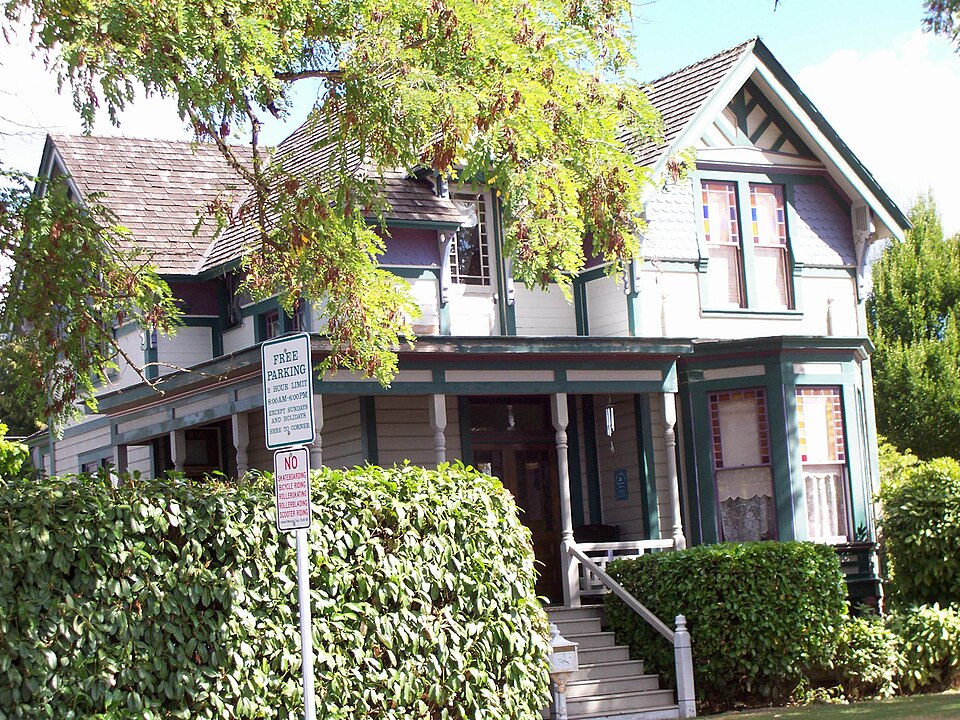
Built in 1887. Listed on the National Register of Historic Places in 1998.
One of 73 National Register listings published here for Linn County · listed in 1998 · category: Building · built in 1887.
Sources: the case file at the National Archives · the National Register database, National Park Service
Regional context, not property-specific evidence. The federal wildfire occurrence database lists 20 fires within 5 miles of John and Lottie Ralston Cottage between 1993 and 2020, burning about 4 acres in total. None started naturally. 5 were recorded as arson. Distance is straight-line from the map coordinates, so a fire counted here may appear on a neighbouring settlement's page as well.
| Reported cause | Fires |
|---|---|
| Debris and open burning | 6 |
| Arson/incendiarism | 5 |
| Equipment and vehicle use | 3 |
| Power generation/transmission/distribution | 2 |
| Misuse of fire by a minor | 2 |
| Missing data/not specified/undetermined | 1 |
| Smoking | 1 |
The most recent of them, most recent first, with the day each was reported and the service that recorded it.
| Date | Cause | Size | Reported by | Name on the report |
|---|---|---|---|---|
| 3 September 2003 | Debris and open burning | under an acre | Sweet Home Unit - ODF | SODAVILLE |
| 26 September 2005 | Arson/incendiarism | 1.2 acres | Sweet Home Unit - ODF | CASCADE DRIVE # 3 |
| 2 September 1993 | Debris and open burning | under an acre | Sweet Home Unit - ODF | MIDDLE RIDGE #1 |
| 12 September 2016 | Equipment and vehicle use | under an acre | Oregon Department of Forestry Salem Headquarters | HWY 20 POWER |
| 31 August 2005 | Arson/incendiarism | under an acre | Sweet Home Unit - ODF | CASCADE DRIVE # 2 |
| 3 August 2009 | Smoking | under an acre | Willamette National Forest | 099 |
| 25 August 2020 | Misuse of fire by a minor | under an acre | Oregon Department of Forestry Salem Headquarters | SANTIAM HWY 966 |
| 22 August 2006 | Power generation/transmission/distribution | under an acre | Sweet Home Unit - ODF | DEADWOOD FIRE |
Regional context, not property-specific evidence. The federal mineral resources record lists 35 workings within 5 miles of John and Lottie Ralston Cottage: 17 producers, 16 past producers, 2 occurrences. 17 still produce. What was taken out: Stone, Crushed/Broken, Stone, Sand and Gravel, Construction, Antimony. Distance is straight-line from the map coordinates, so a quarry counted here may appear on a neighbouring settlement's page as well.
| Where | Site | Commodity | Status | Recorded |
|---|---|---|---|---|
| Suing | Antimony | Occurrence | ||
| Suing Farm | Antimony | Occurrence | ||
| C & S | Sand and Gravel, Construction | Past Producer | ||
| C & S Pit | Sand and Gravel, Construction | Producer | ||
| Gravel Pit | Sand and Gravel, Construction | Past Producer | ||
| Lebanon Pit & Plant | Sand and Gravel, Construction | Past Producer | ||
| Lebanon Pit & Plant | Sand and Gravel, Construction | Producer | ||
| Truelove Site | Sand and Gravel, Construction | Producer | ||
| Trulove Site | Sand and Gravel, Construction | Past Producer | ||
| Unnamed Pit | Sand and Gravel, Construction | Producer |
Regional context, not property-specific evidence. The National Weather Service names Lebanon, the town this property stands in, in 9 storm reports between 2003 and 2020: 2 funnel cloud, 2 thunderstorm wind, 2 hail, 1 lightning. No death or injury is recorded in these reports. Each account below is quoted exactly as the forecast office filed it, from the NOAA Storm Events Database, and each date opens the federal record of that event.
| When | Event | Place named | Harm | What the report says |
|---|---|---|---|---|
| September 2007 | Tornado (EF0) | Lebanon | $20,000 | Storm survey found tornado off of Tennessee School Drive was on the ground for 5-10 minutes, with a path a little less than a mile in length, and maximum width 350 yards. Tornado tracked northwest to southeast over open fields and then in trees. Six farm buildings damaged, mostly roof damage. Estimated 90-100 mature trees damaged, with 20-30 of them snapped off low in the trunk, and 6 to 8 uprooted. One tree fell on farmhouse sustaining minor damage. Rated EF0 on enhanced Fujita scale, with gusts 75 to 85 mph. |
| September 2007 | Hail | Lebanon | $5,000 | Half-inch hail was reported at the farmhouse the tornado hit. |
| September 2020 | Thunderstorm Wind | Lebanon | $3,000 | Photos of a 4-8 inch diameter tree limbs blown down and an uprooted tree. |
| September 2020 | Flood | Lebanon | - | A video of street flooding was posted on social media. |
| April 2018 | Funnel Cloud | Lebanon | - | Photo of funnel cloud in Lebanon shared on Twitter by KEZI Meteorologist. |
| May 2005 | Thunderstorm Wind | Lebanon | - | Thunderstorms spread through the Willamette Valley, generating strong wind gusts that resulted in reports of downed trees and power lines and local damage. A large section of metal roof was peeled back between Lebanon and Sweet Home. |
| May 2006 | Hail | Lebanon | - | no account filed |
| November 2003 | Funnel Cloud | Lebanon | - | no account filed |
| August 2003 | Lightning | Lebanon | - | no account filed |
No historic map-sheet match is published for this property yet. That does not mean no map exists. This record needs a coordinate-quality review before it can be joined to a sheet boundary. Browse the county's mapped places while that work is pending.
Other National Register properties close enough to walk or drive between, ordered by distance from this one. Both positions come from the same geocoding pass that matched these properties to their map sheets.
| Photograph | Property | Distance | Listed |
|---|---|---|---|
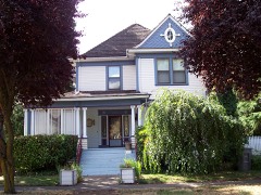 | Dr. J. C. Booth House | under 500 feet | 1980 |
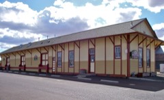 | Lebanon Southern Pacific Railroad Depot | 0.2 miles | 1997 |
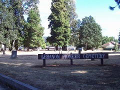 | Lebanon Pioneer Cemetery | 0.2 miles | 1998 |
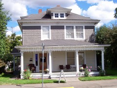 | Louis A. Crandall House | 0.3 miles | 1990 |
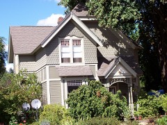 | Hiram Baker House | 0.4 miles | 1996 |
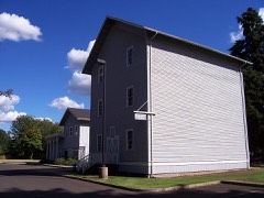 | Elkins Flour Mill | 0.4 miles | 1995 |
| National Archives record | The nomination case file for reference 98000203 in Record Group 79. |
| Linn County | All 73 listed properties in this county. |