 Block
Block
Achor, Ohio
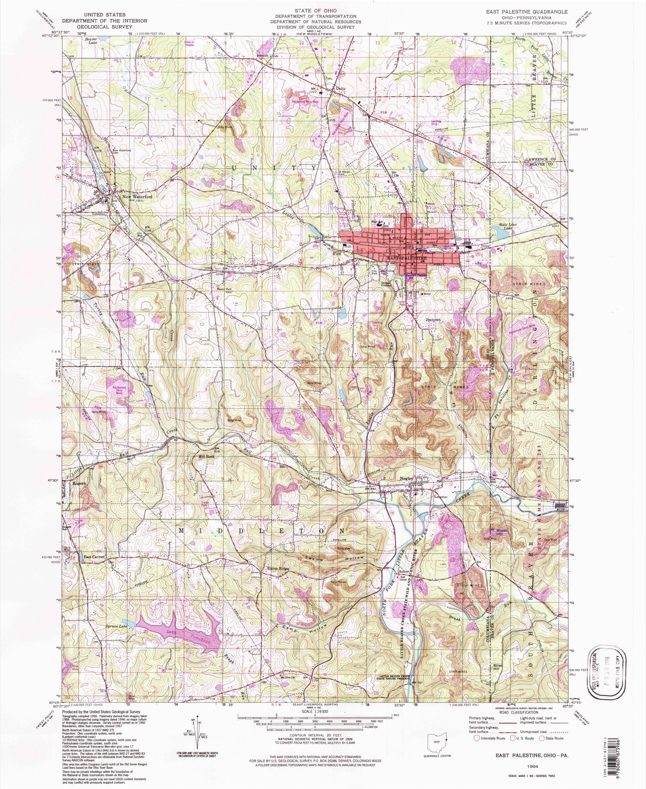
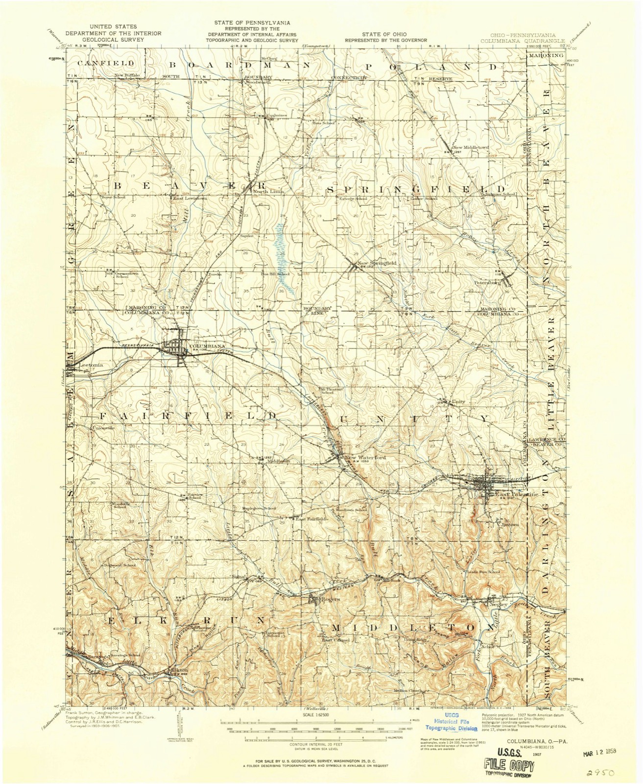
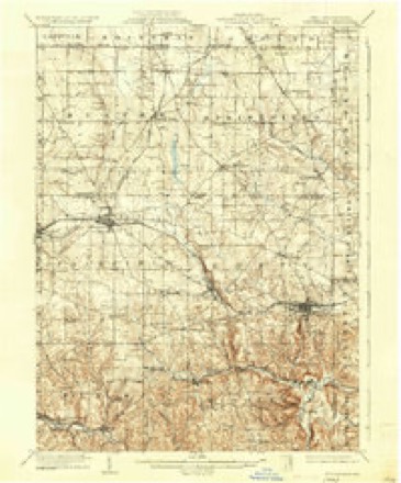
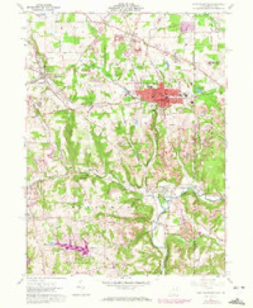
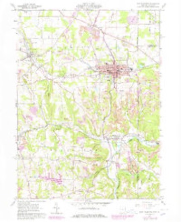
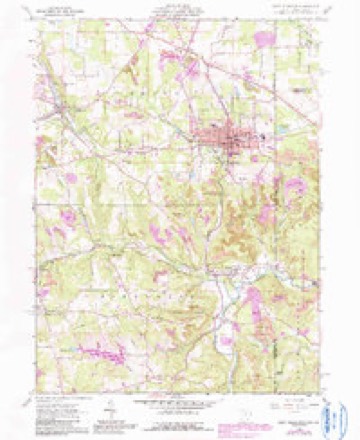
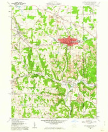
17 topographic sheets cover this place, the earliest surveyed in 1907 and the latest in 1994. It stands in Middleton Township. It lies in ZIP code area 44441. It lies in Swamp Hollow. The Survey maps it on the East Palestine quadrangle. It stands 830 feet above sea level.
Then and now
1907 to 1994The same ground, surveyed 87 years apart. Drag the handle to wipe between them. Both sheets are United States Geological Survey originals; neither has been altered.
Compare 1907 against another survey:
Topographic sheets covering this place
17 sheetsMatched by testing this settlement's coordinate against the published boundary of every sheet in the United States Geological Survey's historical collection. Each opens the scanned sheet at the Survey.
- 1907 USGS Columbiana quadrangle1:62500
- 1909 USGS Columbiana quadrangle1:62500
- 1909 USGS Columbiana quadrangle1:62500
- 1951 USGS Canton quadrangle1:250000
- 1953 USGS Canton quadrangle1:250000
- 1957 USGS Canton quadrangle1:250000
- 1957 USGS Canton quadrangle1:250000
- 1957 USGS Canton quadrangle1:250000
- 1960 USGS East Palestine quadrangle1:24000
- 1960 USGS East Palestine quadrangle1:24000
- 1960 USGS East Palestine quadrangle1:24000
- 1960 USGS East Palestine quadrangle1:24000
- 1962 USGS Canton quadrangle1:250000
- 1962 USGS Canton quadrangle1:250000
- 1986 USGS East Liverpool quadrangle1:100000
- 1986 USGS East Liverpool quadrangle1:100000
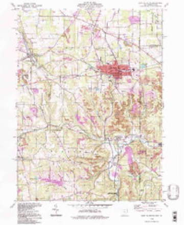
- 1994 USGS East Palestine quadrangle1:24000







In the county-history sources
19,600 words on this townshipHistory of Columbiana County, Ohio, published 1879 names this settlement in its chapter on Middleton Township. These are the passages that mention it, exactly as the scans read.
In 1808, Archibald Scott and William Hamilton established a tannery at Achor, which, in 1812, became the property of Richard F. Randolph, who increased the capacity, adding fifteen vats to the four already there. This tannery has since been carried on by the Randolph family, the present proprietor being Jonathan F. Randolph.
Passage source: History of Columbiana County, Ohio, published 1879.
Formerly there were many distilleries in Middleton, whose capacity, however, was not very great, seldom exceeding three bushels per day. The first was put in operation at Achor, about 1808, by Levi Rogers, and at later periods, among the distillers, were George Brown, Job Rossell, George Grate, John Grate, Levi Guy, Edward Crawford, William Craige, aud Peter Myers.
Passage source: History of Columbiana County, Ohio, published 1879.
Machine-read from a century-old scan, so expect the errors a machine makes: misspelled names, dropped words, stray characters.
Read the whole chapter on Middleton Township - it names this place 2 more 2 times.
Fires near this place
18 since 2010Regional context, not property-specific evidence. The federal wildfire occurrence database lists 18 fires within 5 miles of Achor between 2010 and 2019, burning about 25 acres in total. None started naturally. None was recorded as arson. Distance is straight-line from the map coordinates, so a fire counted here may appear on a neighbouring settlement's page as well.
| Reported cause | Fires |
|---|---|
| Debris and open burning | 15 |
| Missing data/not specified/undetermined | 2 |
| Smoking | 1 |
The most recent of them, most recent first, with the day each was reported and the service that recorded it.
| Date | Cause | Size | Reported by | Name on the report |
|---|---|---|---|---|
| 4 May 2015 | Missing data/not specified/undetermined | under an acre | Ohio Department of Natural Resources | 1181 |
| 6 April 2010 | Debris and open burning | under an acre | Ohio Department of Natural Resources | not named |
| 3 April 2014 | Debris and open burning | under an acre | Ohio Department of Natural Resources | not named |
| 3 April 2010 | Debris and open burning | 10 acres | Ohio Department of Natural Resources | not named |
| 25 April 2016 | Missing data/not specified/undetermined | under an acre | Ohio Department of Natural Resources | 4653 |
| 18 April 2014 | Debris and open burning | under an acre | Ohio Department of Natural Resources | not named |
| 12 April 2014 | Debris and open burning | 1.5 acres | Ohio Department of Natural Resources | not named |
| 1 April 2014 | Debris and open burning | under an acre | Ohio Department of Natural Resources | not named |
Settlements close enough to share some of these fires:
Specimens collected near this place
12 of 597 shownRegional context, not property-specific evidence. Museums hold 597 specimens collected within 10 miles of Achor between 1882 and 1975: 297 Plantae, 284 Animalia, 16 Fungi. 12 distinct Species records are shown. Collected by Andreas, B.; Cusick, A.W., Armbruster, D. C. (Daniel C.), Athearn, Herbert D. and others. Each is a physical object with a catalogue number, and each entry opens the museum's record. This is what was collected and kept, not a survey of what lives here - nothing can be concluded from a species being absent.
| Image | Species | Year | Collected by | Where, as recorded |
|---|---|---|---|---|
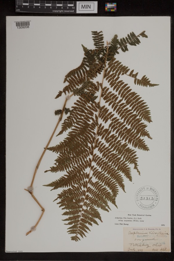 | Athyrium filix-femina var. angustum (Willd.) G.Lawson | 1885 | Shafer, J.A. | Petersburg |
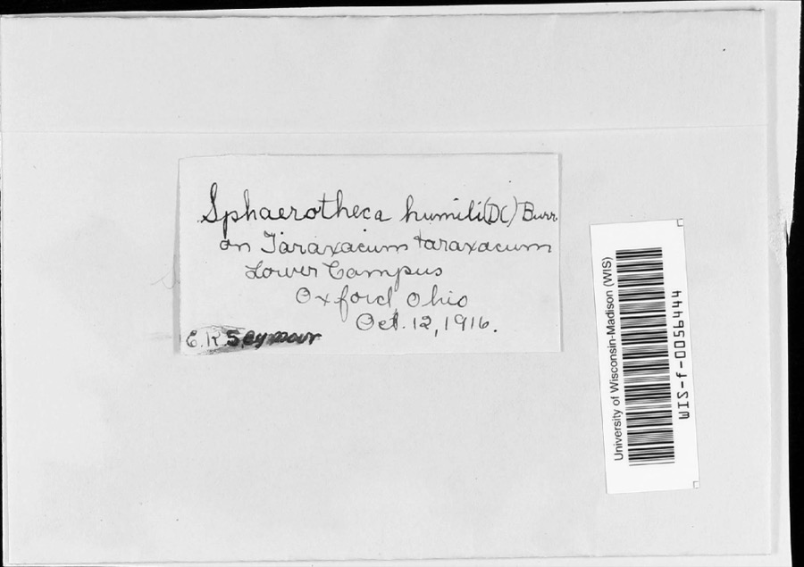 | Sphaerotheca humuli var. fuliginea (Schltdl.) E.S.Salmon | 1916 | E.K. Seymour | Lower campus |
 | Irpiciporus tulipiferae (Schwein.) Murrill | 1917 | Overholts | W. Elkton |
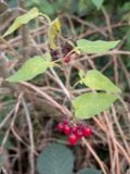 | Solanum dulcamara L. | 1882 | Shafer, J.A. | near Petersburg |
 | Equisetum hyemale subsp. affine (A.Braun & Engelm.) A.A.Eaton | 1883 | Shafer, J.A. | near Petersburg |
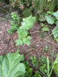 | Levisticum officinale W.D.J.Koch | 1883 | Shafer, J.A. | Petersburg |
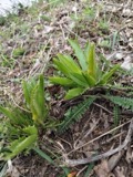 | Armoracia rusticana P.Gaertn., B.Mey. & Scherb. | 1884 | Shafer, J.A. | Wm. Hills place near Petersburg |
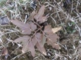 | Botrychium dissectum Spreng. | 1884 | Shafer, J.A. | near Petersburg |
 | Carex lupulina Muhl. ex Willd. | 1884 | Shafer, J.A. | near Petersburg |
 | Chelone glabra L. | 1884 | Shafer, J.A. | near Petersburg |
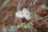 | Clematis virginiana L. | 1884 | Shafer, J.A. | Petersburg |
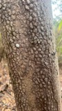 | Cornus florida L. | 1884 | Shafer, J.A. | near Petersburg |
All 597 specimens within 10 miles, at the Global Biodiversity Information Facility.
Mines and quarries near this place
4 within 5 milesRegional context, not property-specific evidence. The federal mineral resources record lists 4 workings within 5 miles of Achor: 4 past producers. None of them still produces. What was taken out: Sand and Gravel, Construction, Clay, Clay, Bituminous. Distance is straight-line from the map coordinates, so a quarry counted here may appear on a neighbouring settlement's page as well.
| Where | Site | Commodity | Status | Recorded |
|---|---|---|---|---|
| Negley Refractories Pit | Clay | Past Producer | Sedimentary | |
| Negley Refractories Pit | Clay, Bituminous | Past Producer | ||
| Coppock Sand and Gravel Pit | Sand and Gravel, Construction | Past Producer | Sedimentary | |
| Coppock Sand and Gravel Pit | Sand and Gravel, Construction | Past Producer |
Nearest settlements
The eight closest, with where each one stands in the county. Distances are straight-line, computed from the Geographic Names Information System coordinates.
| Map | Place | Distance | Sheets |
|---|---|---|---|
| Negley | 1.1 miles | 17 | |
| Union Ridge | 1.8 miles | 17 | |
| Mill Rock | 3.1 miles | 17 | |
| Jimtown | 3.2 miles | 17 | |
| Wheat Hill Estates | 3.6 miles | 17 | |
| East Carmel | 3.8 miles | 17 | |
| East Palestine | 4.1 miles | 17 | |
| Fredericktown | 4.2 miles | 22 |
Elsewhere
Matched on this settlement's Geographic Names Information System number rather than its name, so it cannot be a different place of the same name in another state.
| Wikipedia article on Achor | An encyclopaedic summary. Its text is share-alike, so it is linked here rather than copied. |
| Wikidata item Q22133466 | The structured record the population and elevation above come from. Public domain (CC0). |
Provenance
This settlement is recorded in the Geographic Names Information System as feature 1064293. The sheet list is computed by point-in-boundary test against the United States Geological Survey's historical topographic inventory. Both are works of the United States government and carry no copyright under 17 U.S.C. 105.
Wildfire. Short, Karen C. 2022. Spatial wildfire occurrence data for the United States, 1992-2020 [FPA_FOD_20221014]. 6th Edition. Fort Collins, CO: Forest Service Research Data Archive. https://doi.org/10.2737/RDS-2013-0009.6 Collected with United States Government funding and usable without additional permissions or fees.
Specimens. Global Biodiversity Information Facility (GBIF), https://www.gbif.org/. Only records licensed CC0 or CC BY are used. Records licensed CC BY-NC are excluded because this site carries advertising. Images are checked individually and any whose licence is non-commercial, no-derivatives or unreadable is refused.
Mines and quarries. USGS Mineral Resources Data System (MRDS) https://mrdata.usgs.gov/mrds/ A work of the United States government, no copyright under 17 U.S.C. 105.