109 topographic sheets and 64 fire insurance
atlases across 10 places.
Research this county
This curated hub for Columbiana County, Ohio brings together the page's documented record links, visible map or image evidence where published, and routes to related local records.
Use the page's provenance and linked records to distinguish the source material from the site's navigation and summaries.
How should I cite it?
Open the original record, preserve its repository and identifier, then use the citation tool for this page as a path back to the source.
Where should I go next?
Follow the county or state hub for related places and records, then use the guide for a source-aware research sequence.
From the record
35 National Register listings, of which 1 are National Historic Landmarks · 124 businesses named in the fire insurance atlases from 1887 to 1950 · the 1879 county history tells 3 stories and names 39 people · people the book names include Villages And Hamlets New Alexander (West Township, 1879) · Alexander Crozier Bell (Middleton Township, 1879) (machine-read).
Ohio within the United StatesColumbiana County within Ohio
Explore by year
What the record shows
10 places in this county were surveyed for fire insurance: East Liverpool, Leetonia, Salem, Wellsville, Columbiana, East Palestine, Lisbon, Salineville, Hanoverton, New Lisbon, between 1884 and 1950.
64 fire insurance atlas(es) survive for the county. Topographic coverage is national; fire insurance survey reached only incorporated places with something worth insuring.
1,606 topographic sheet readings cover the county's settlements.
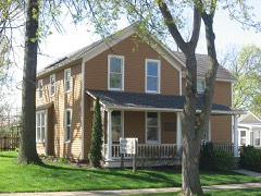
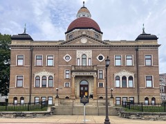
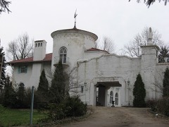
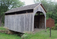
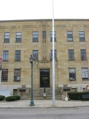
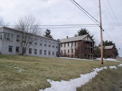
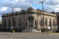
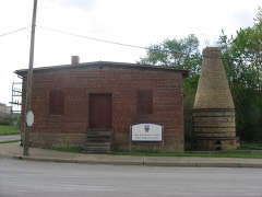
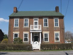
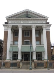
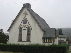
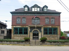
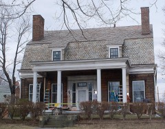
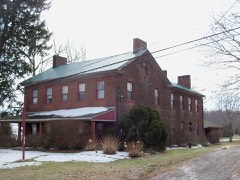
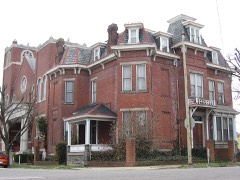
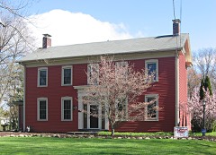
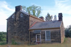
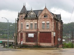
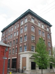
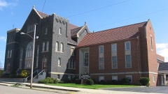
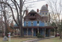
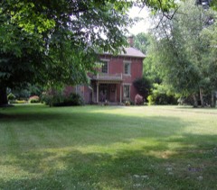
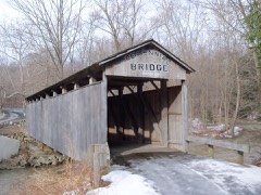
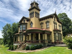
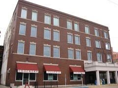
35 properties here are on the National Register of Historic Places, including 2 covered bridges, 12 houses and farms.
8 of the 35 listings were added during the 1970s.
The Geographic Names Information System records 94 populated places in this county; 0 are covered by at least one topographic sheet.
3 public-domain county histories, 1879 to 1905, supply 521,233 words of narrative reproduced here in full.
What happened here
3 accounts
A captivity, a drowning, a famine, a man
scalped clearing his lot in 1789. These are passages from History of Columbiana County, Ohio, written
while people who remembered the events were still alive, and each one
opens the section it comes from.
1879, Liverpool Township
Musical Organizations
The first band organized in the town dated its existence from early in 1850, when J. L. Rule instructed a chosen few, and remained as instructor until the enterprise was fairly under way. There were fifteen pieces in the band, which was led at first by Luke Parker, and afterwards by Peter Lee, who went into the service in 1861 as trumpeter in an Ohio battery, and was killed in action.
The loss of the records prevents a full account of the first roads. In general, the highways were located with the same courses as they now have, and, as soon as the means of the township permitted, they were substantially improved and the streams bridged. To maintain the bridges, which have been frequently swept away by freshets, has been a heavy burden to the people of Elk Run.
(Grim) Thompson. I lis grandfather was also named William Thompson and kept a hotel in Calcutta in the long ago when that village was in its palmiest days as a trading jx>st. His father was horn October jS. 1S13. and met his death by drowning at Smith's Kerry in 1839, when his son was two years old. ilis mother was a daughter of Michael (irim and was lxim in 1818 in Columbiana County.
Taken for the Office of War Information and
the Farm Security Administration, who photographed the country between
1935 and 1944. Works of United States government photographers, with no
known restriction on use. Each opens its catalogue record.
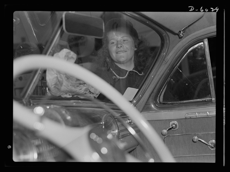
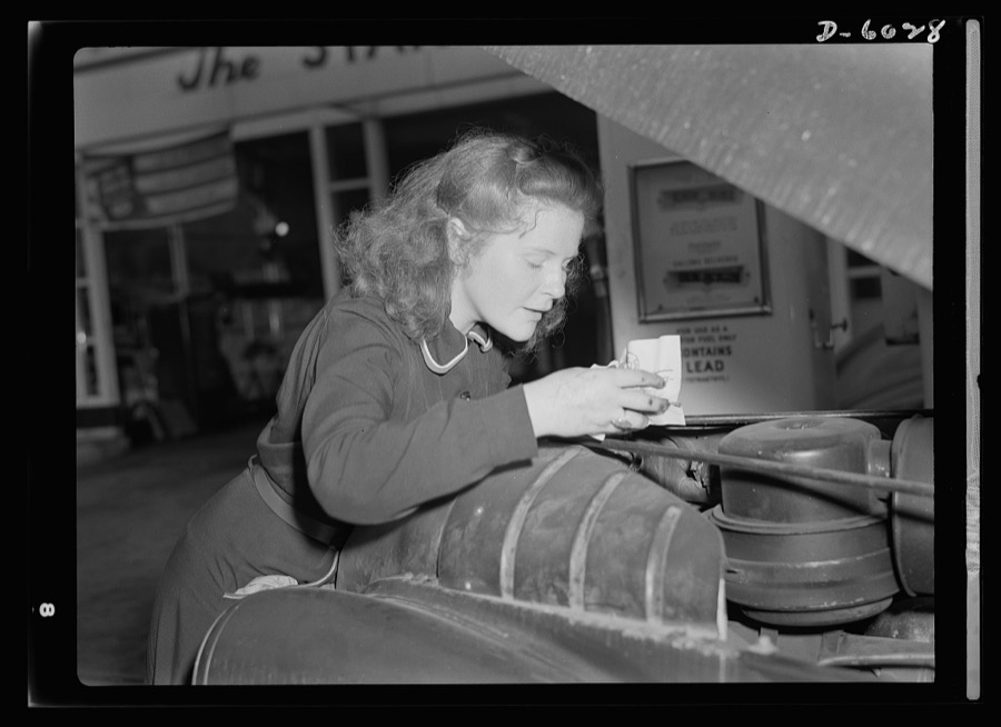
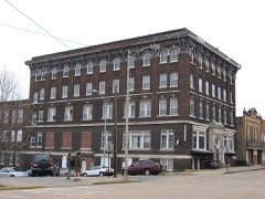
Women in war. Filling station attendant. Tires need checking too? Shifting trends of employment in wartime America have opened up new jobs for such women as this young East Liverpool, Ohio, girl who has pioneered in two new fields since graduation from high school. She learned butchering first, and built up quite a reputation as a purveyor of choice cuts. Now she's one of the most efficient service station attendants in the neighborhood. Her name? Virginia Excell Rosener, Ann, photographer, 1942. Library of CongressWomen in war. Filling station attendant. Tires need checking too? Shifting trends of employment in wartime America have opened up new jobs for such women as this young East Liverpool, Ohio, girl who has pioneered in two new fields since graduation from high school. She learned butchering first, and built up quite a reputation as a purveyor of choice cuts. Now she's one of the most efficient service station attendants in the neighborhood. Her name? Virginia Excell Rosener, Ann, photographer, 1942. Library of Congress
Places on the National Register
35
Every property in this county listed on the
National Register of Historic Places, with the year it was listed and the
federal nomination document.
Columbiana County holds 2 covered bridges on
the National Register, more than any other property type here. Each is a listed
structure with a federal nomination on file.
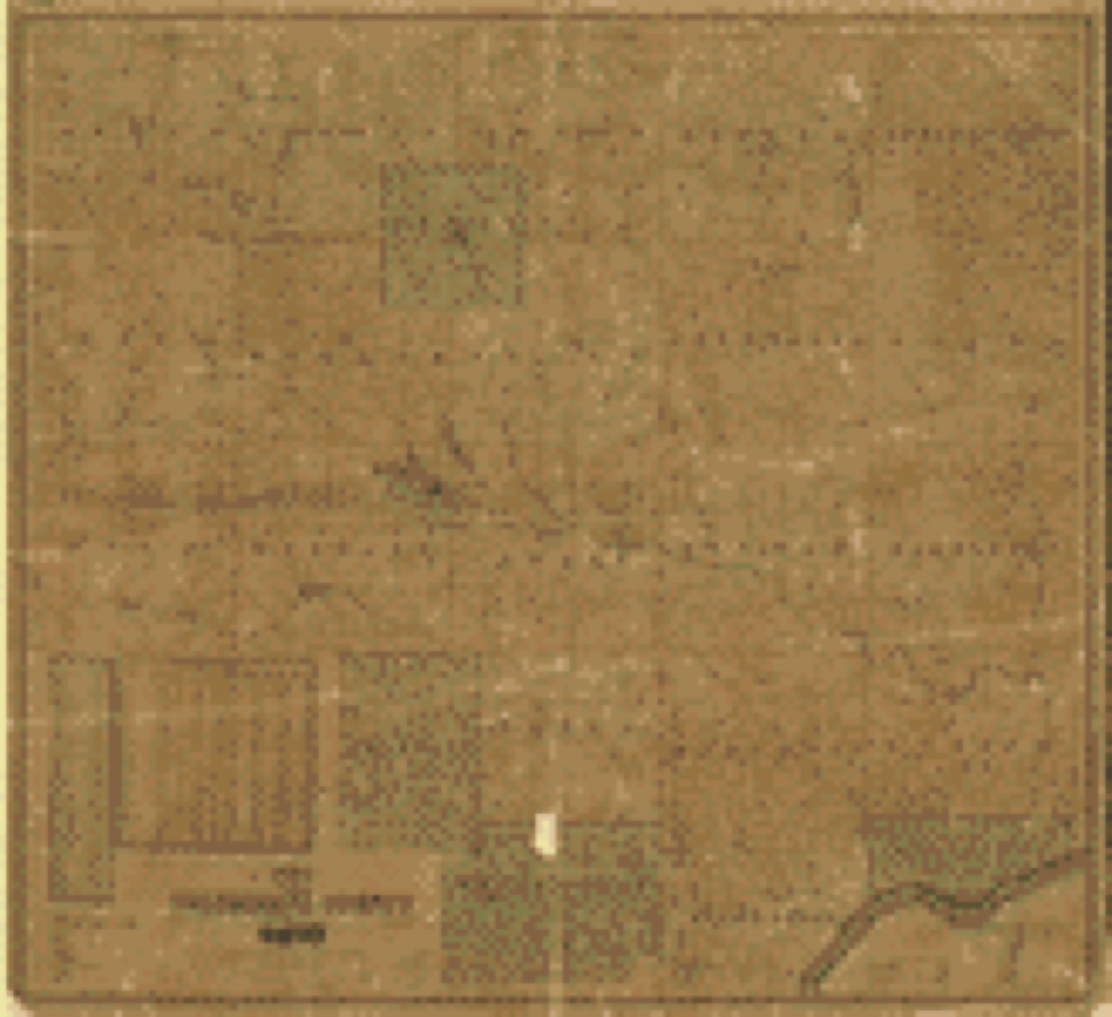
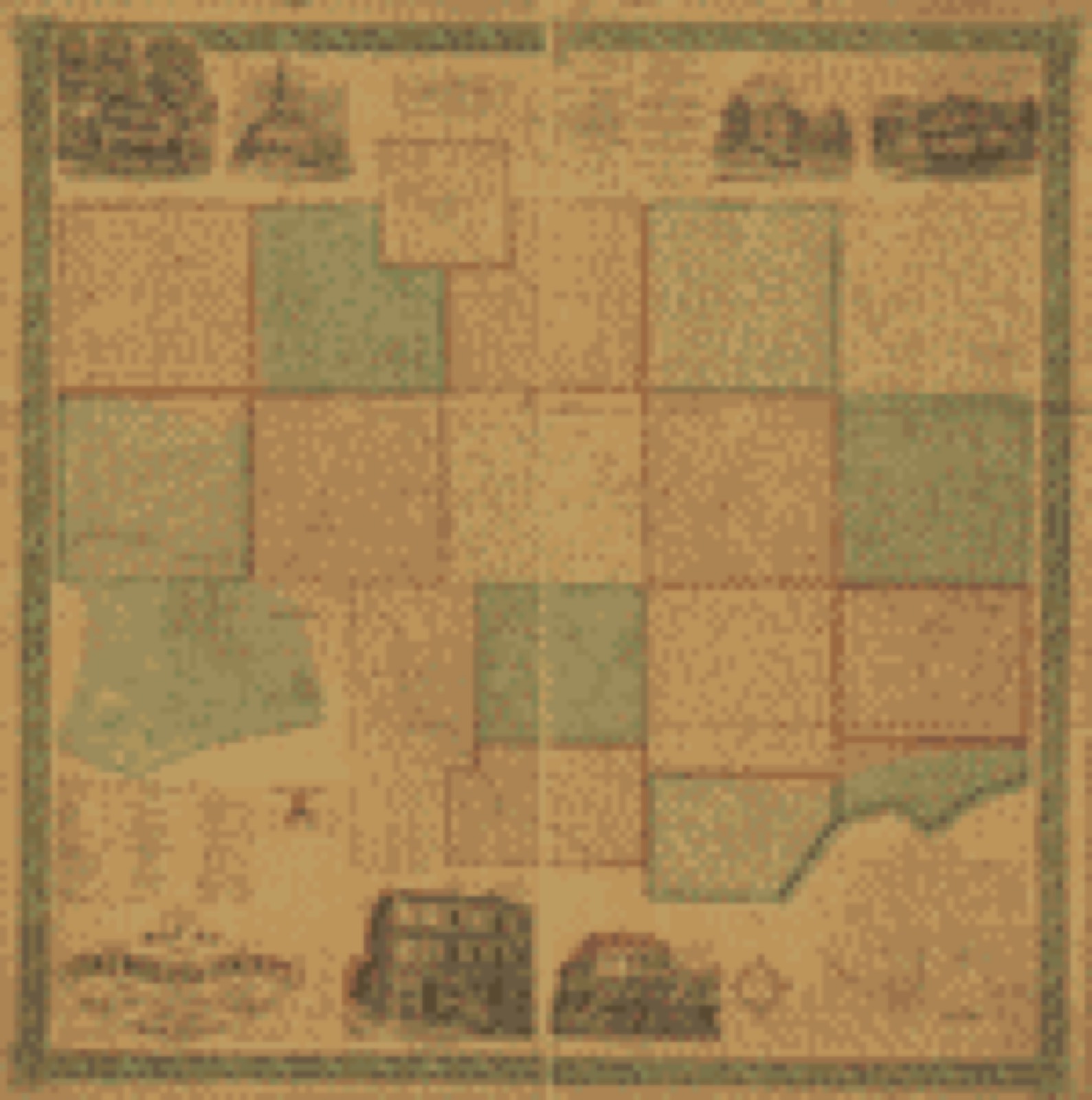
Drawn when these were printed as
single large sheets: the town seen from the air, and the county
divided into its farms with every owner named. Each opens the
original at the Library of Congress.
Land ownership map (1841) - Map of Columbiana County, Ohio. Library of Congress.Land ownership map (1860) - Map of Columbiana County, Ohio. Library of Congress.
Photographs from libraries nationwide
11 of 26 shown
Selected from the Digital Public Library
of America's 26 image records catalogued for this county. Every
one shown here carries a public-domain status or a licence that permits
reuse on a site that carries advertising; non-commercial, share-alike
and restricted images are excluded. The selection is spread across the
county's towns (at most eight per town), so no single institution's
bulk upload crowds out the rest. Each opens the holding library's
record, and
the complete set at the
Digital Public Library of America is one click away.
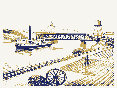
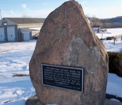
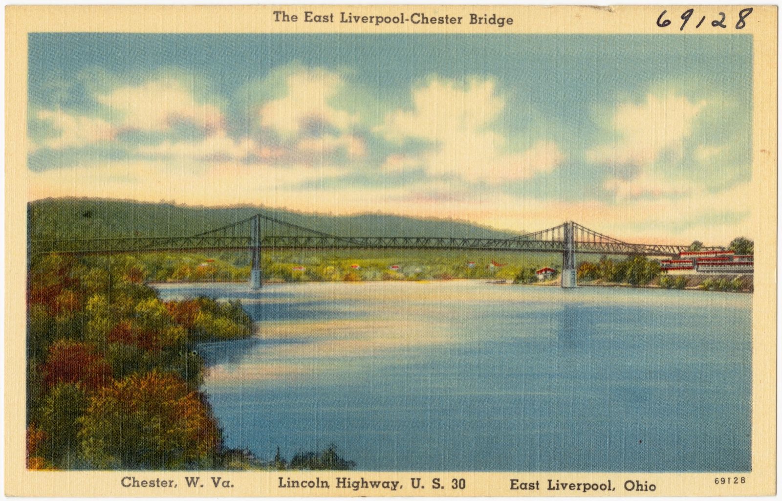
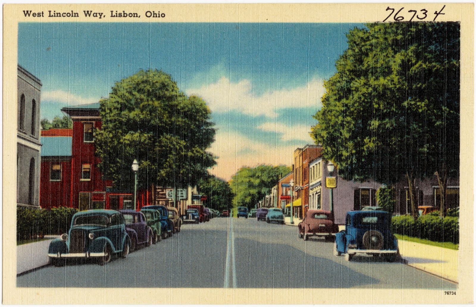
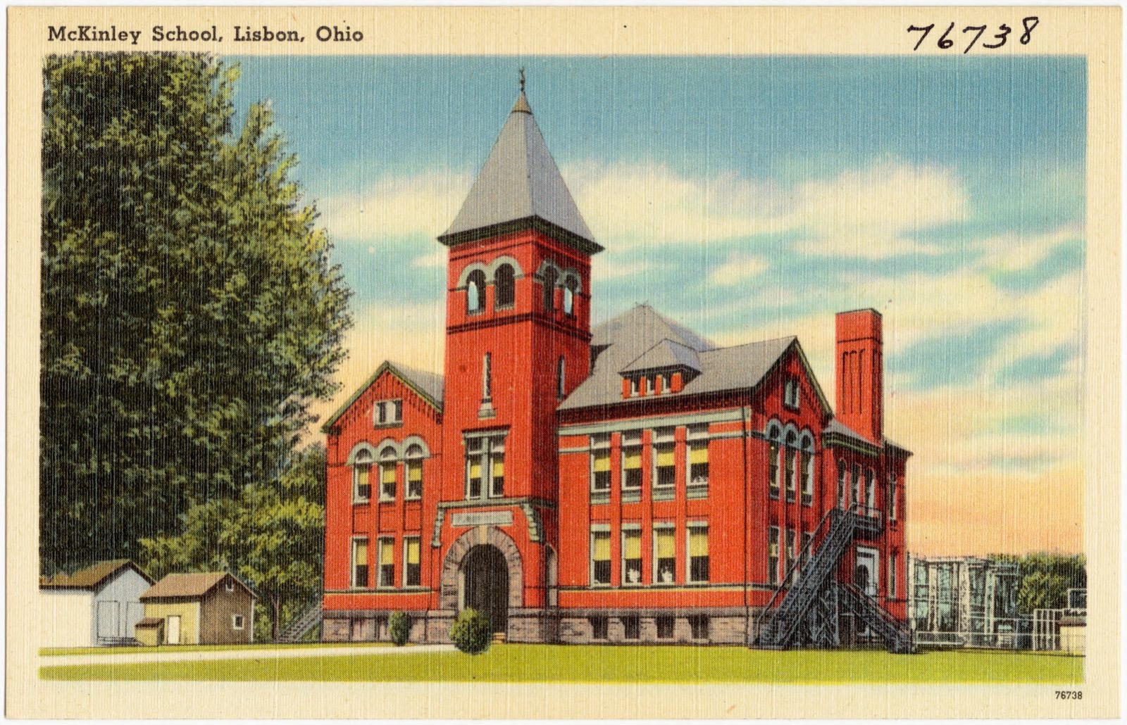
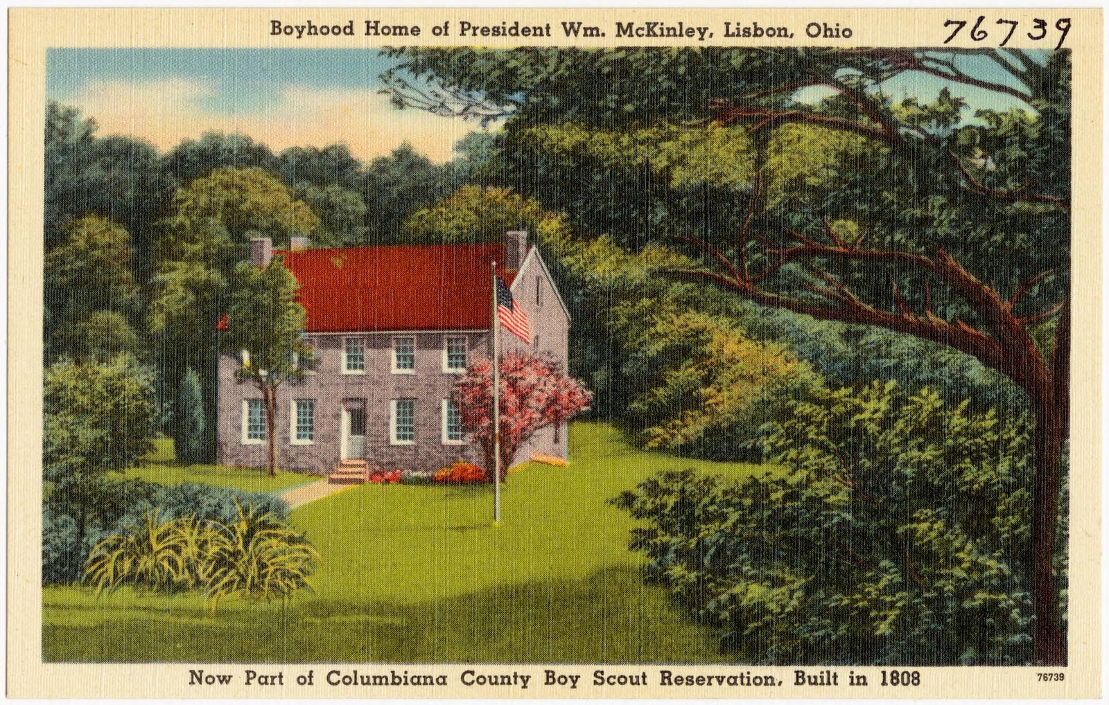
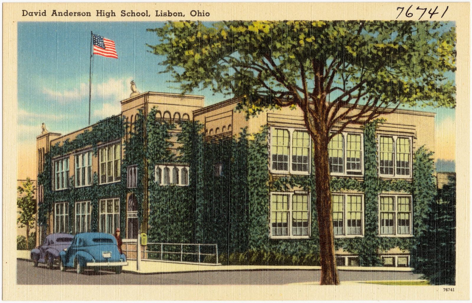
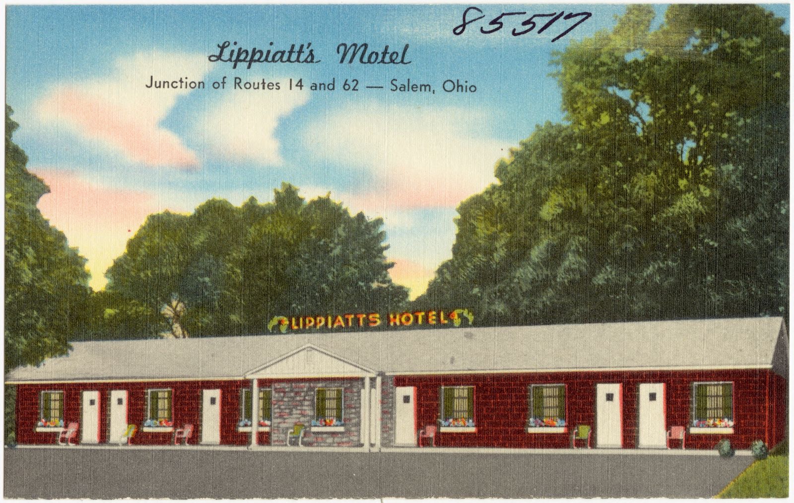
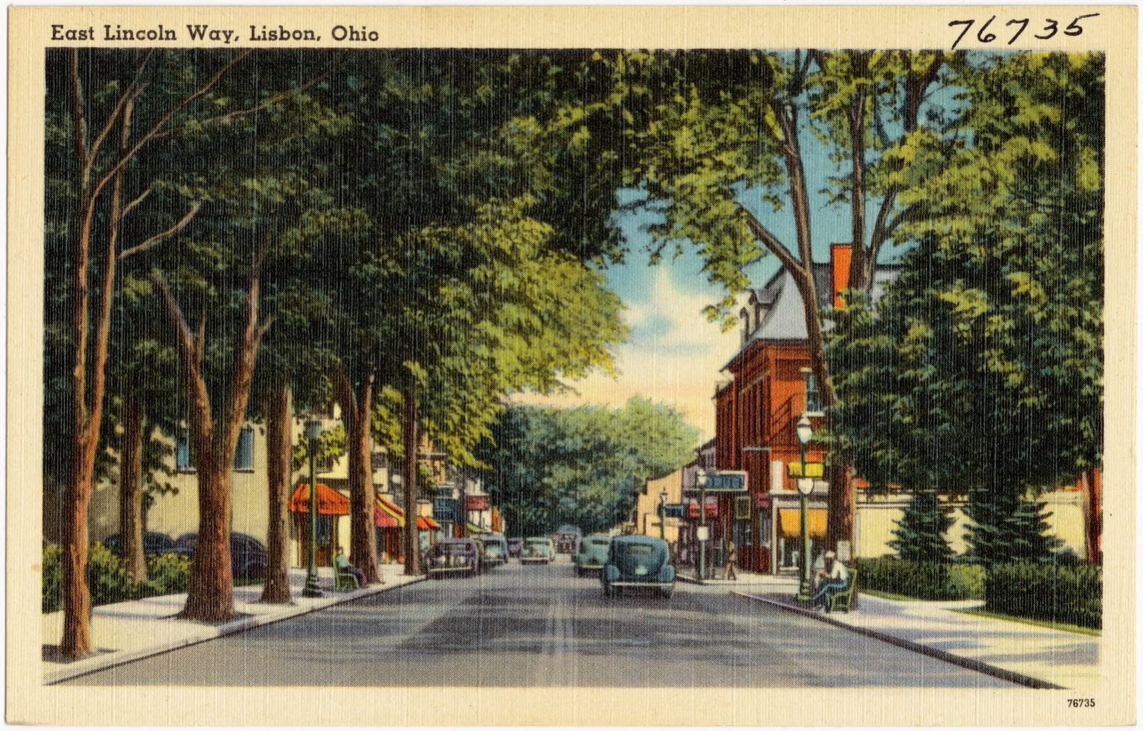
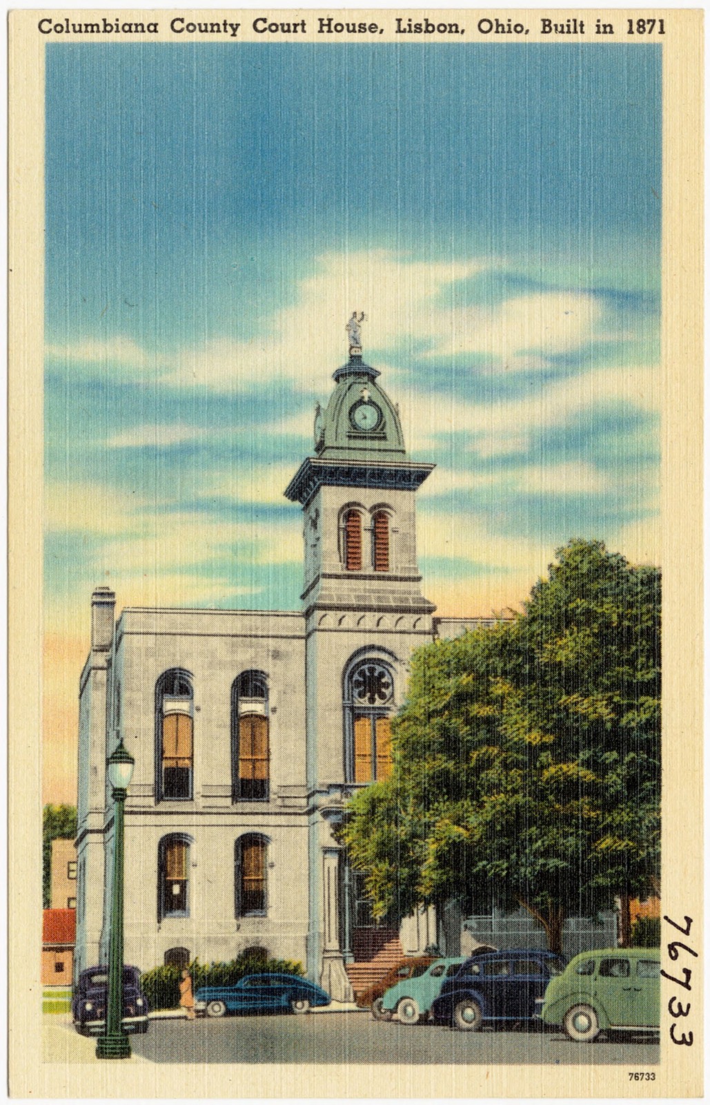
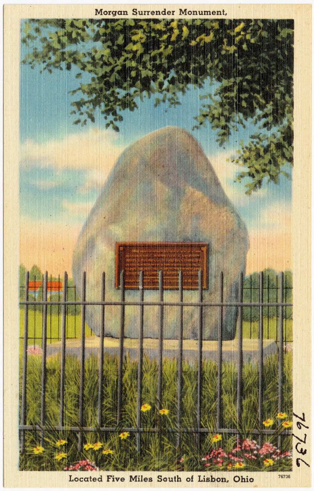
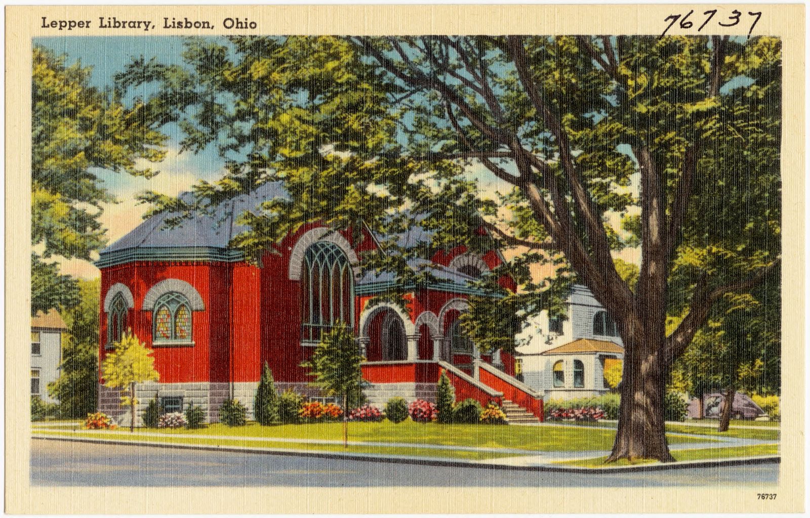
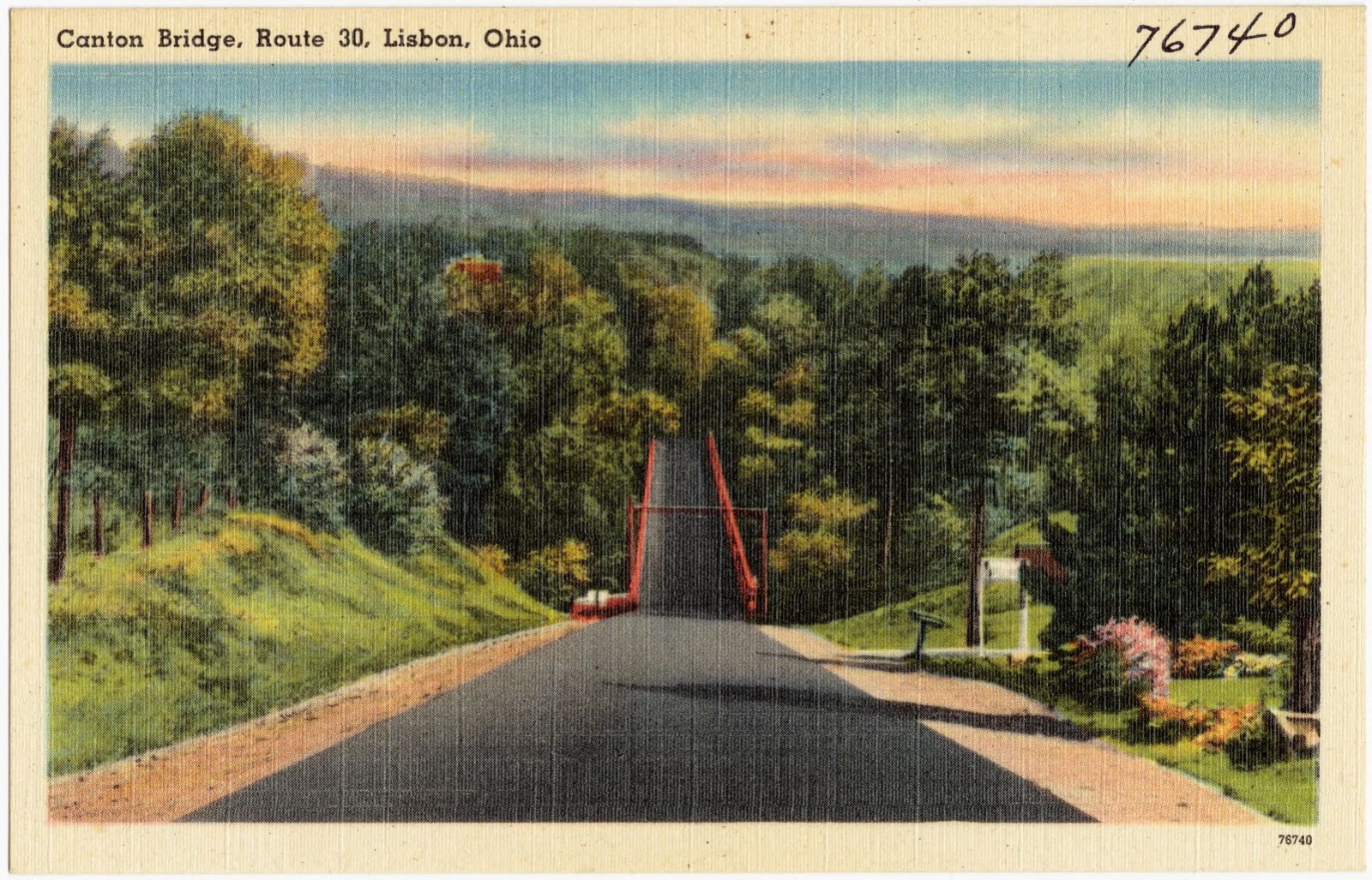
The East Liverpool - Chester Bridge, Chester, W. Va., Lincoln Highway, U.S. 30, East Liverpool, Ohio. Boston Public Library, via the Digital Public Library of America.West Lincoln Way, Lisbon, Ohio. Boston Public Library, via the Digital Public Library of America.McKinley School, Lisbon, Ohio. Boston Public Library, via the Digital Public Library of America.Boyhood home of President Wm. McKindley, Lisbon, Ohio. Now part of Columbiana County Boy Scout Reservation, built in 1808. Boston Public Library, via the Digital Public Library of America.David Anderson High School, Lisbon, Ohio. Boston Public Library, via the Digital Public Library of America.Lippiatt's Motel. Junction of Routes 14 and 62 -- Salem, Ohio. Boston Public Library, via the Digital Public Library of America.East Lincoln Way, Lisbon, Ohio. Boston Public Library, via the Digital Public Library of America.Columbiana County Court House, Lisbon, Ohio, built in 1871. Boston Public Library, via the Digital Public Library of America.Morgan Surrender Monument, located five miles south of Lisbon, Ohio. Boston Public Library, via the Digital Public Library of America.Lepper Library, Lisbon, Ohio. Boston Public Library, via the Digital Public Library of America.Canton Bridge, Route 30, Lisbon, Ohio. Boston Public Library, via the Digital Public Library of America.
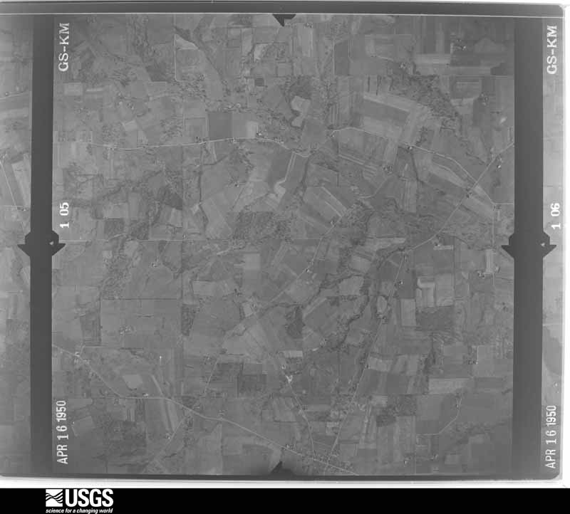
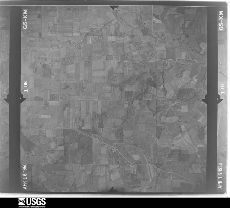
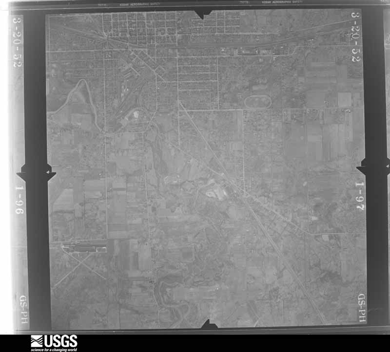
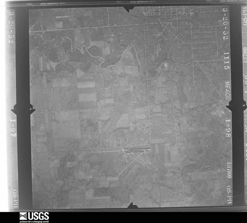
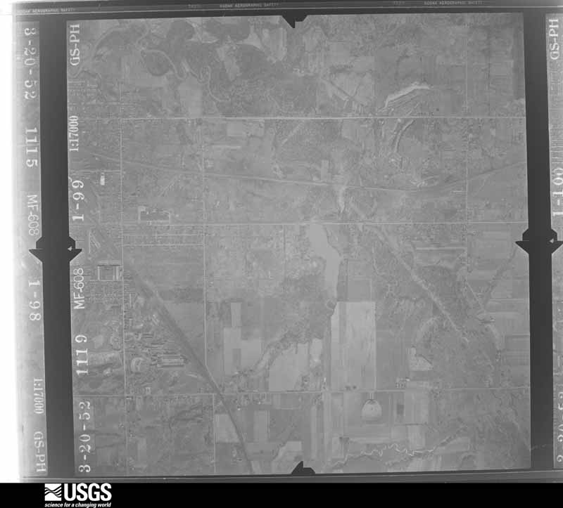
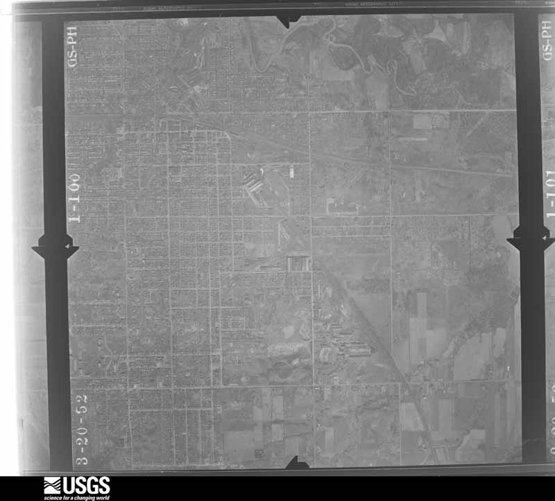
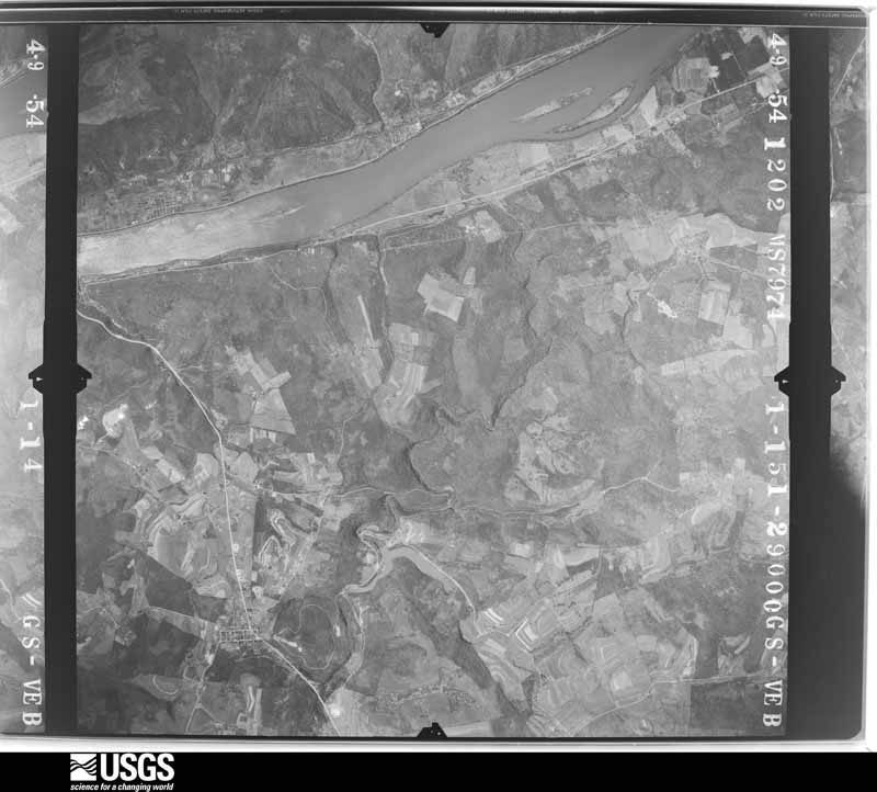
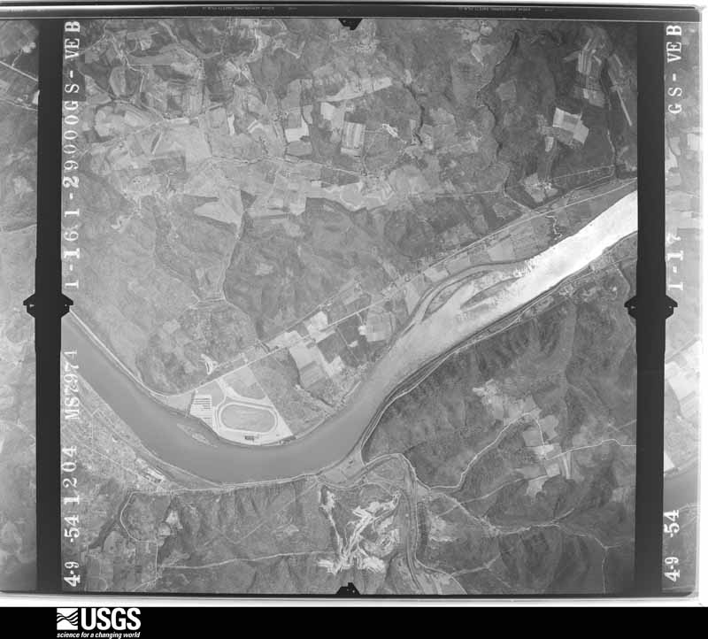
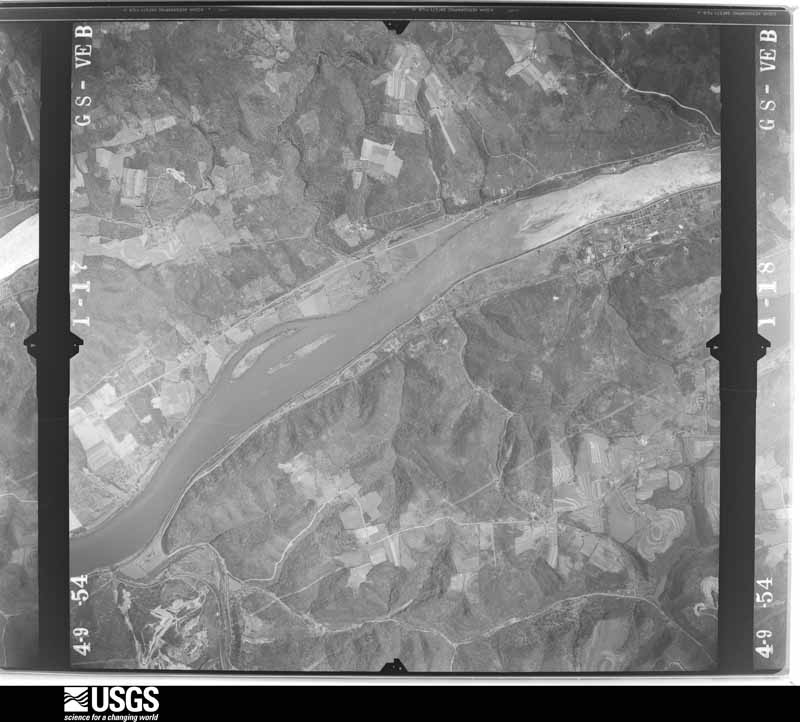
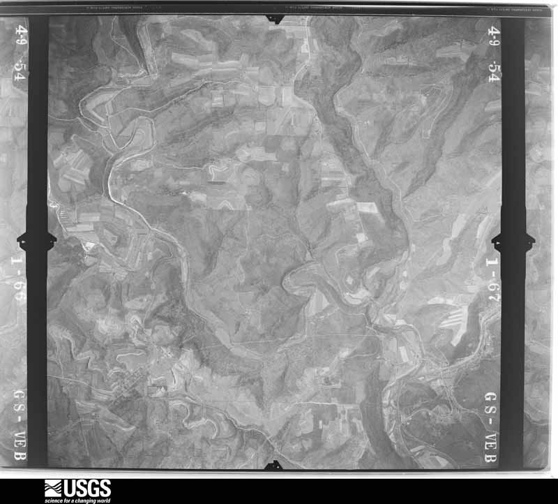
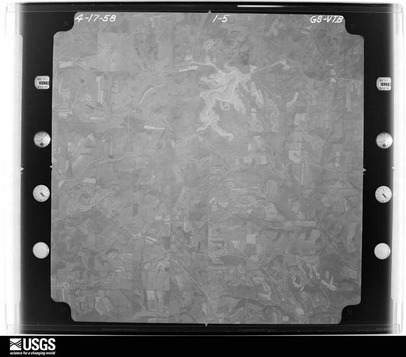
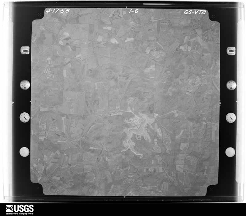
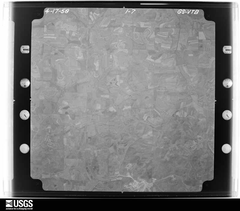
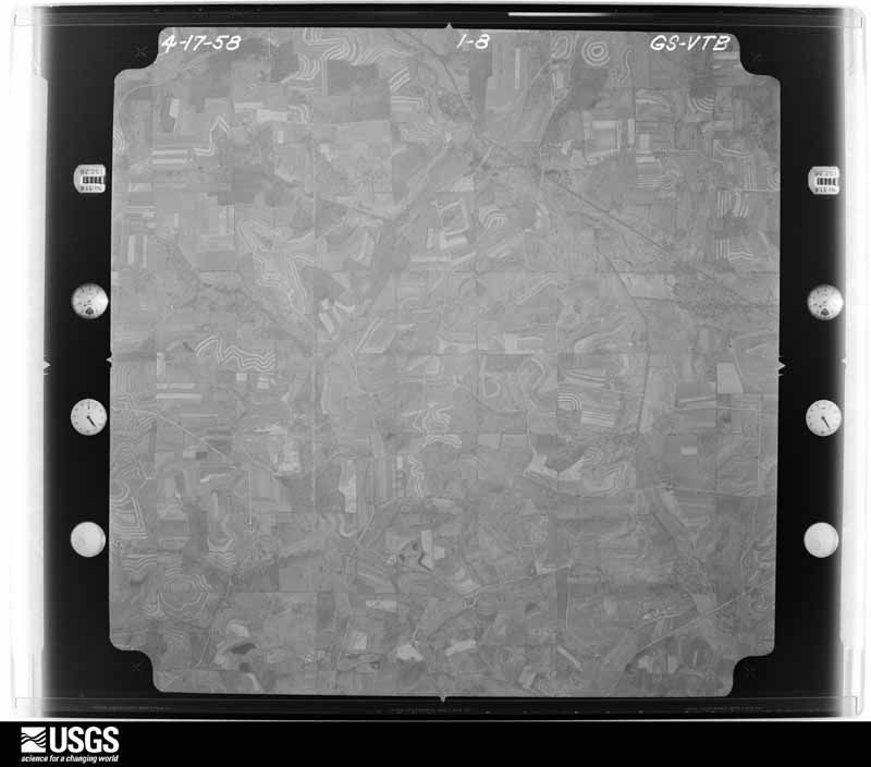
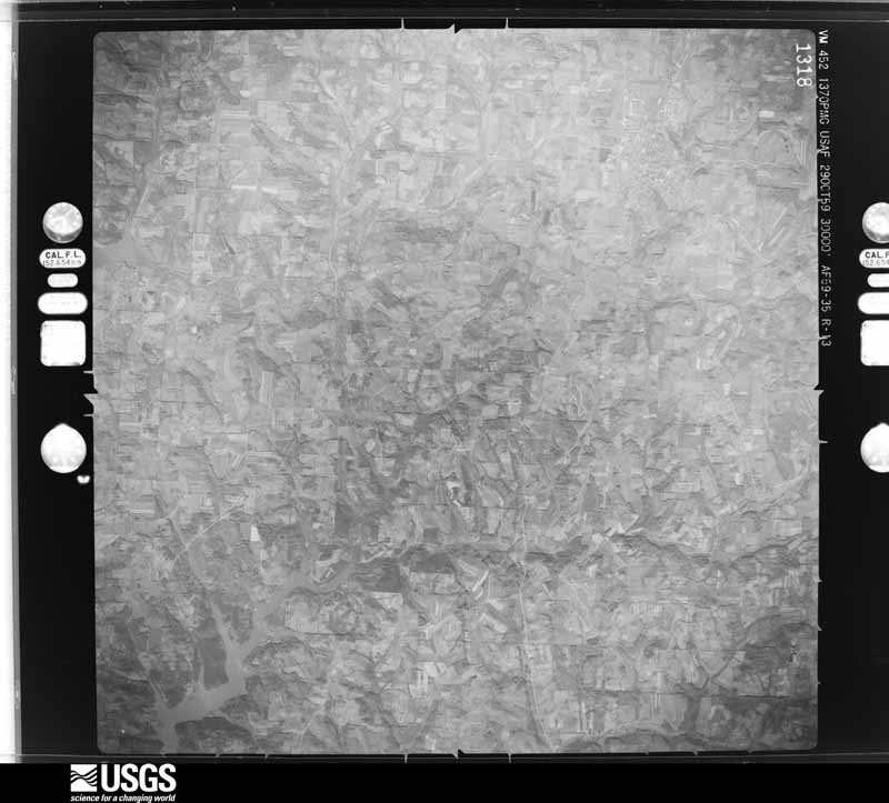
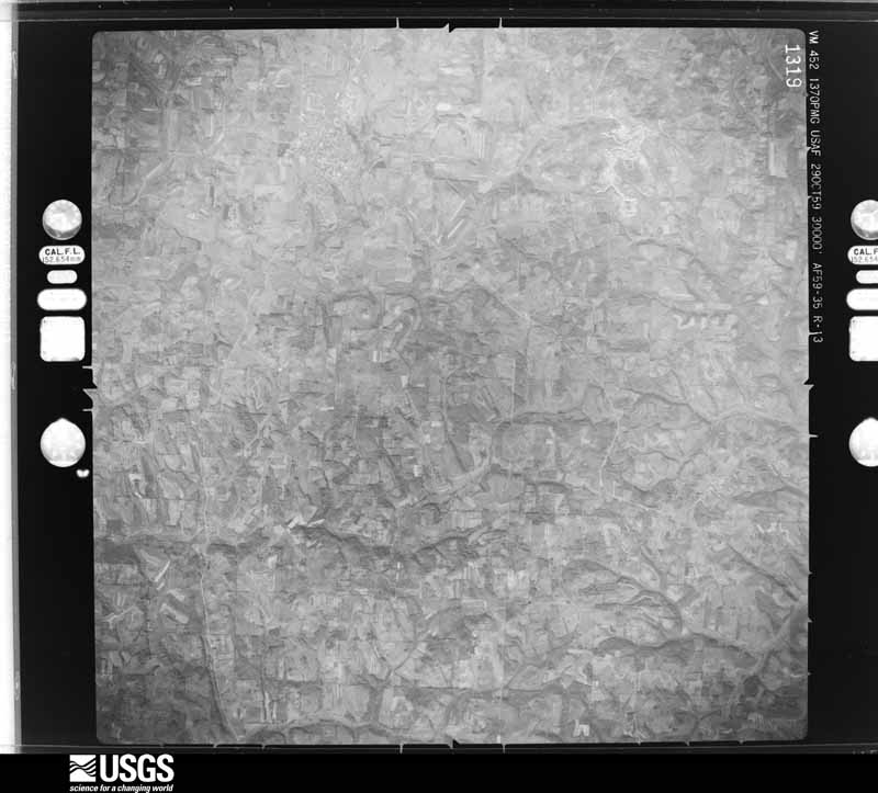
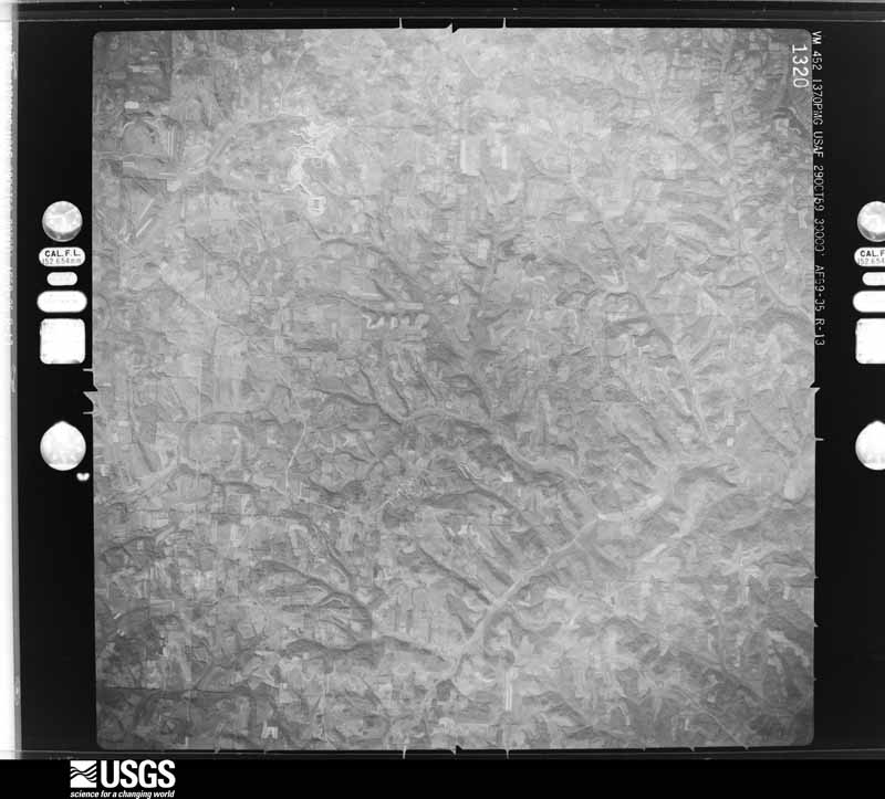
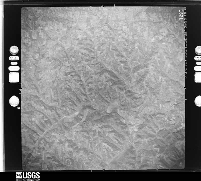
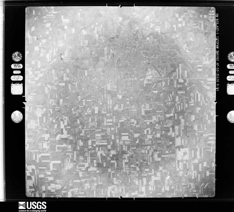
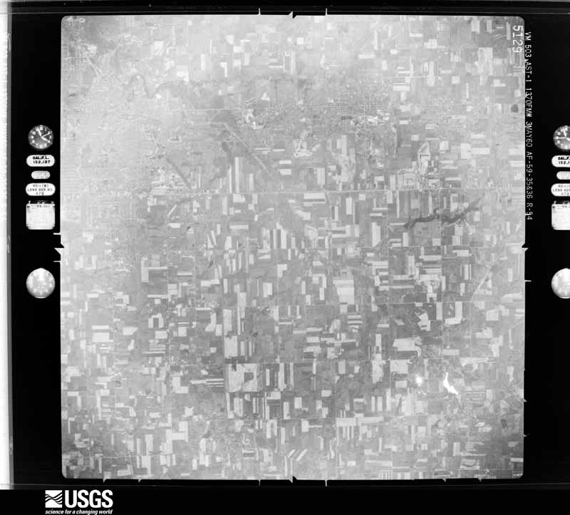
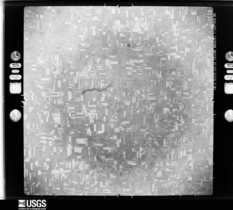
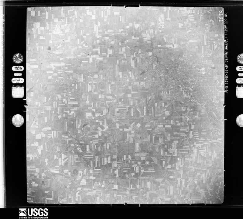
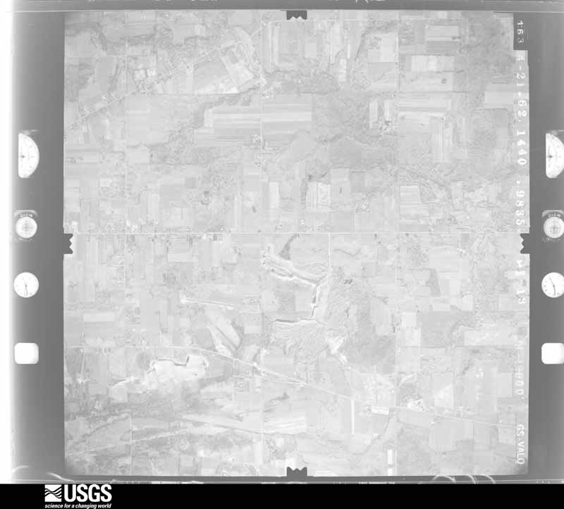
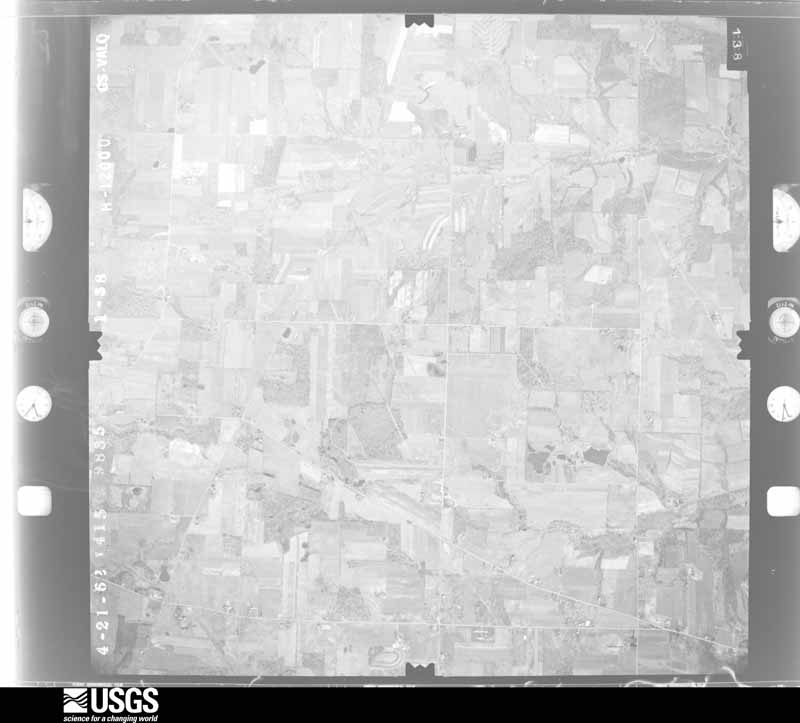
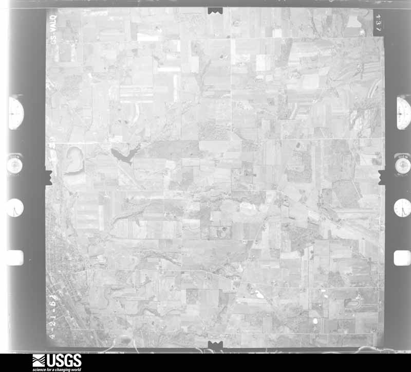
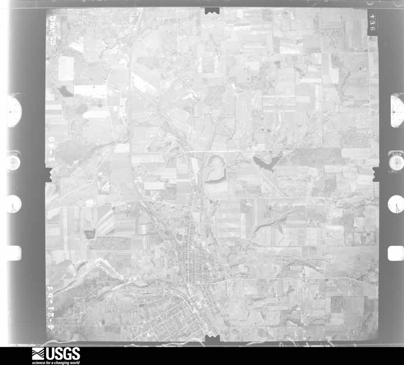
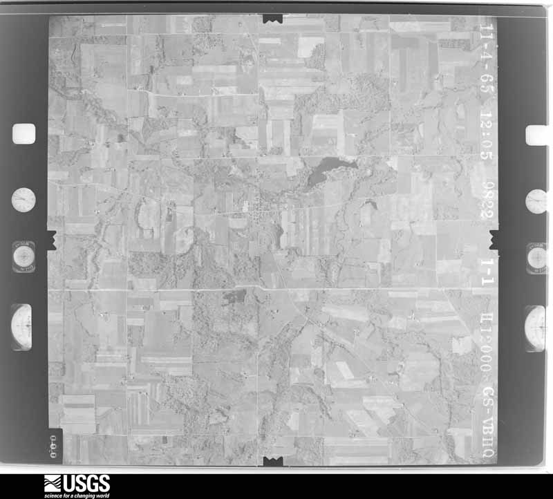
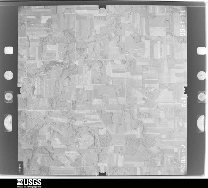
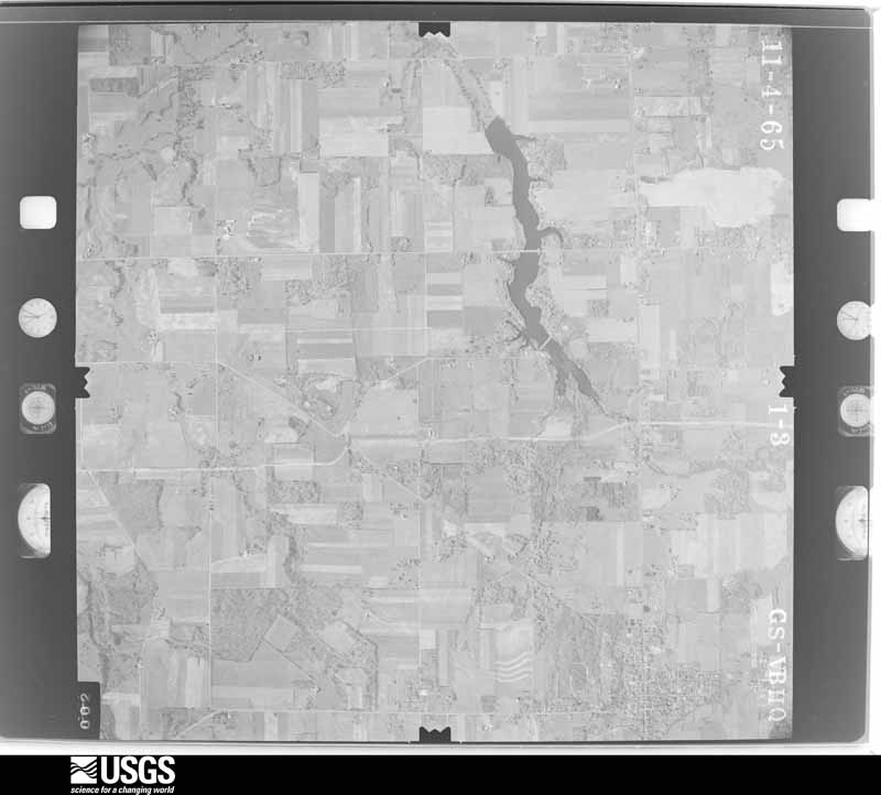
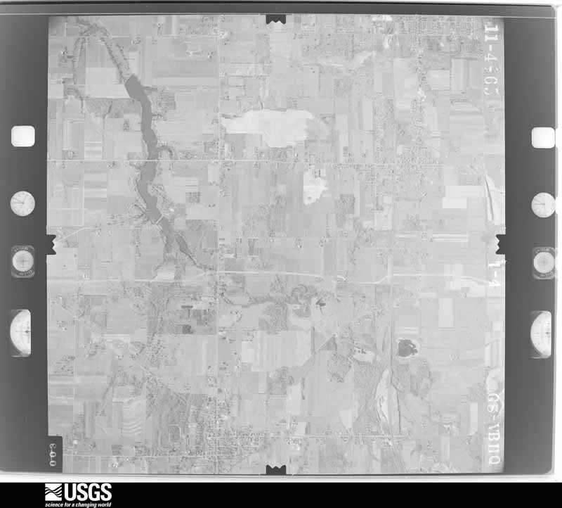
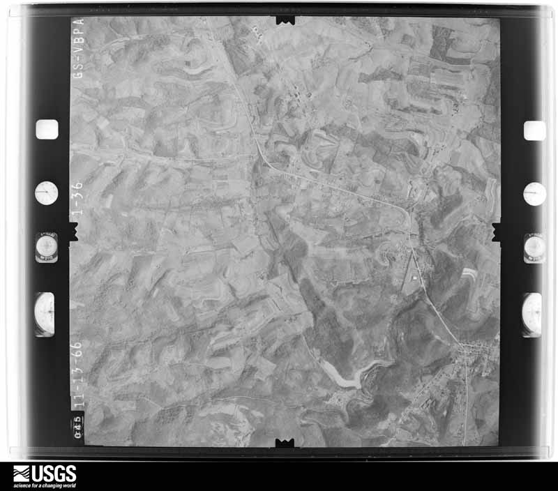
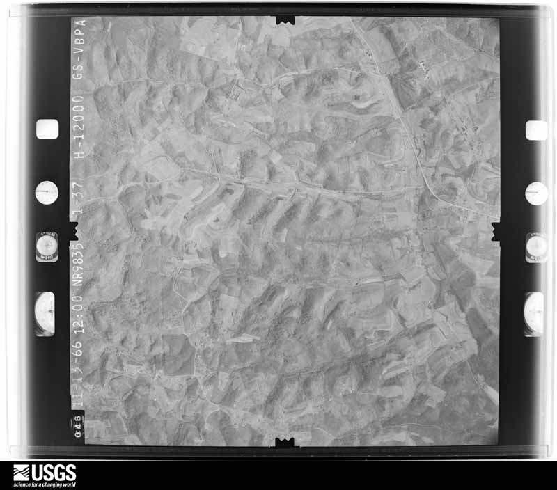
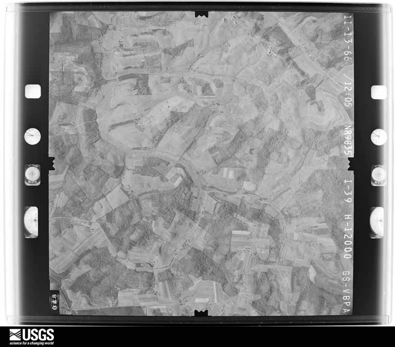
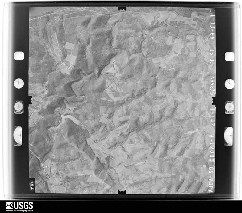
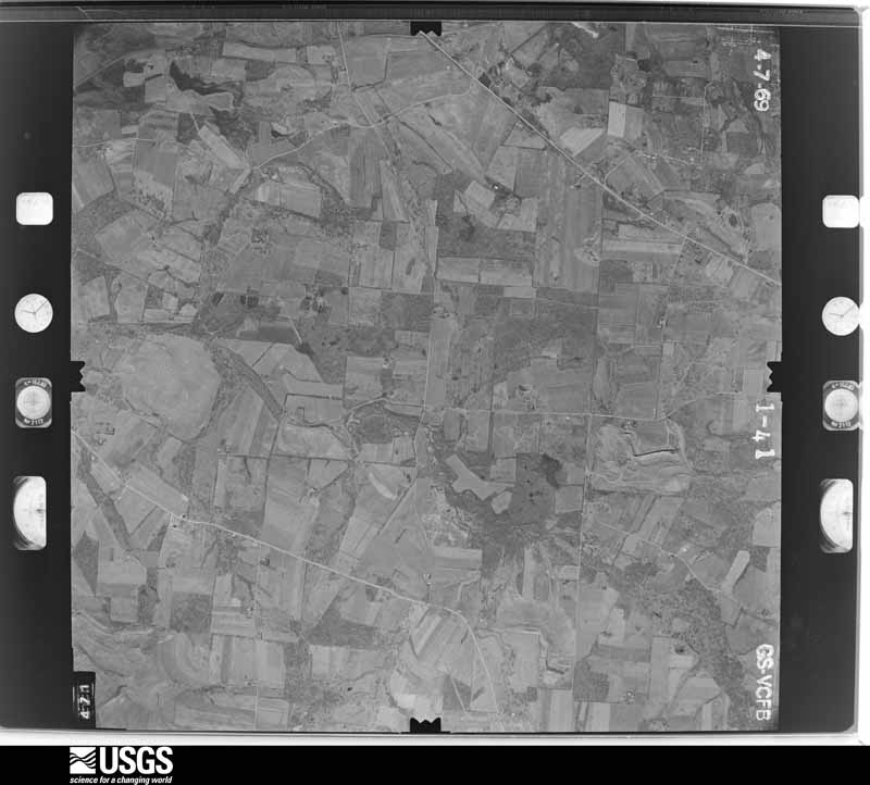
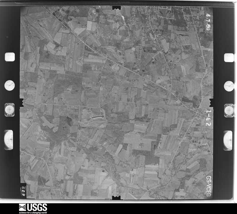
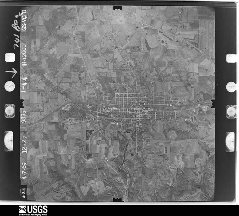
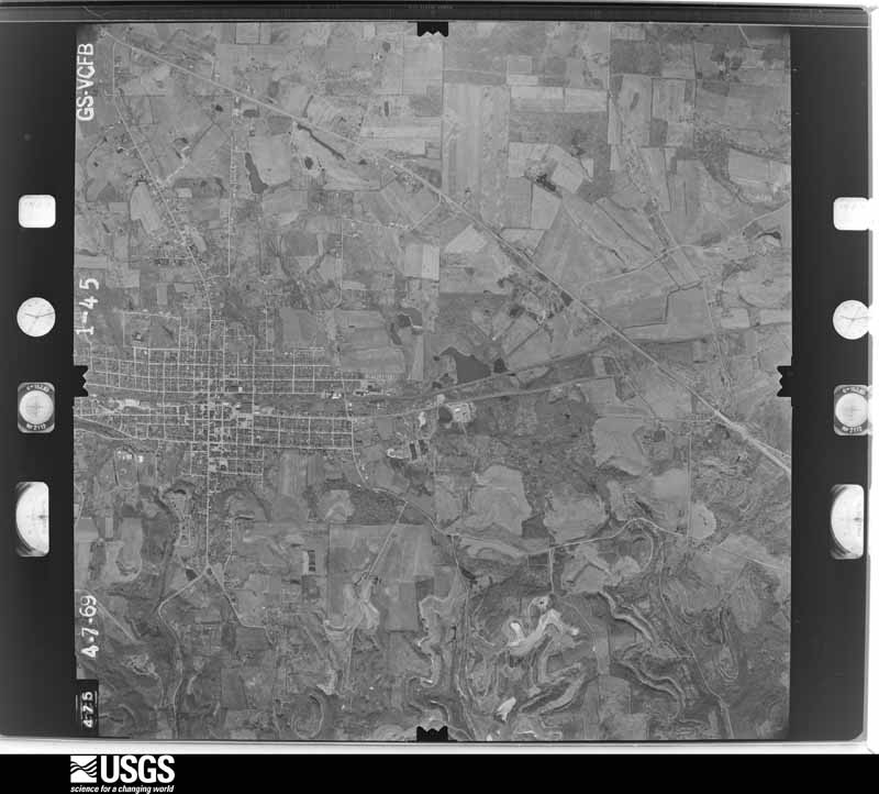
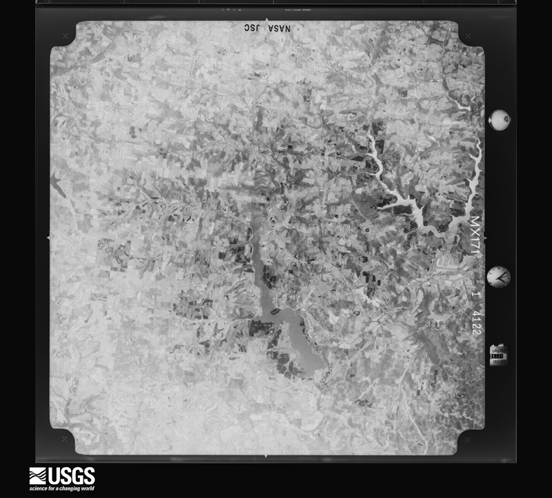
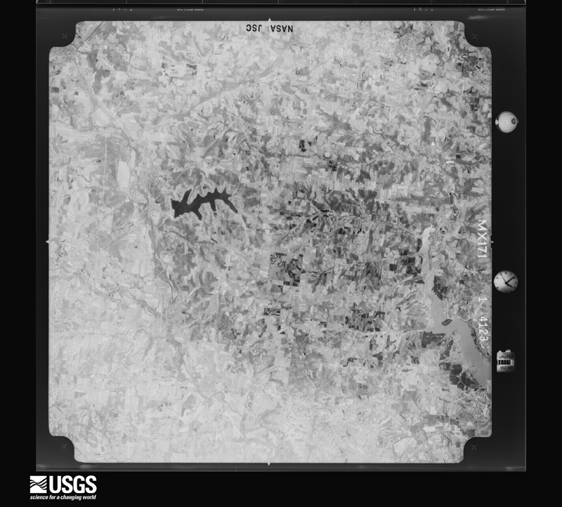
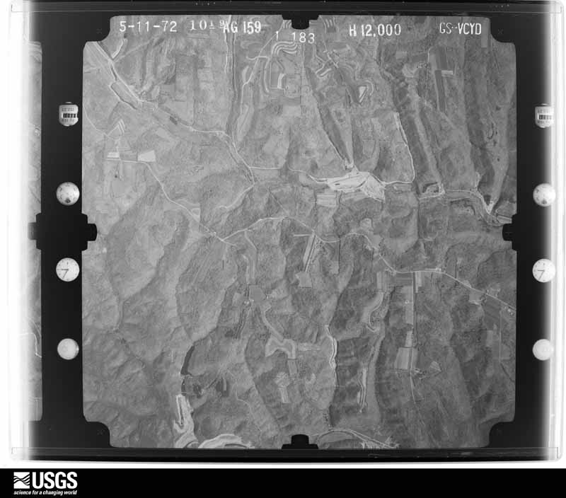
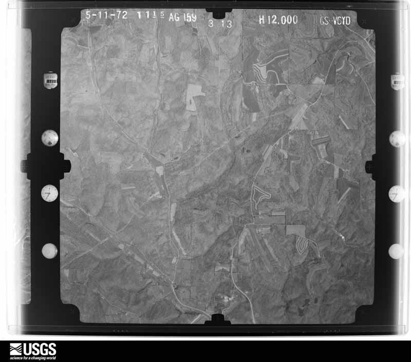
The county from the air
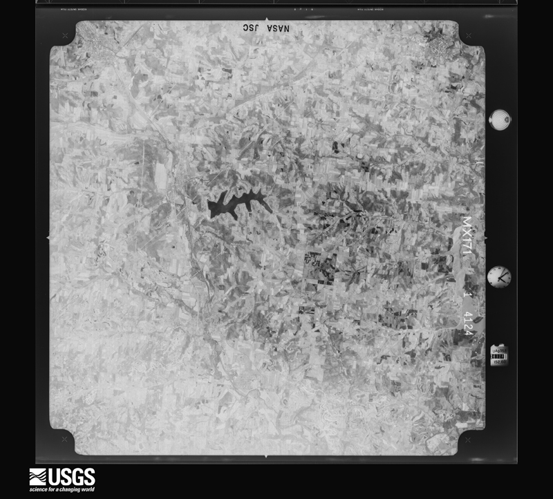
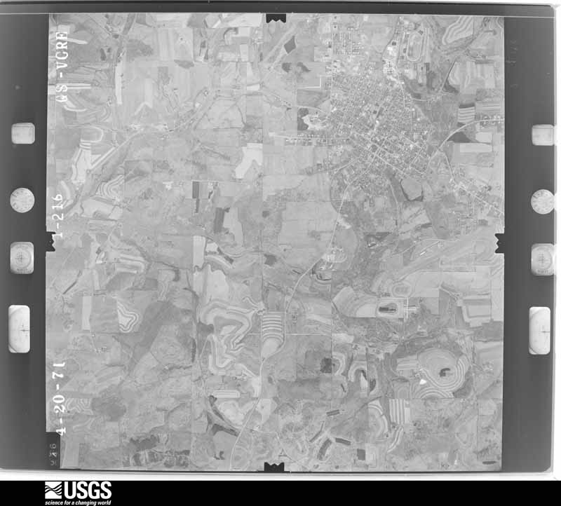
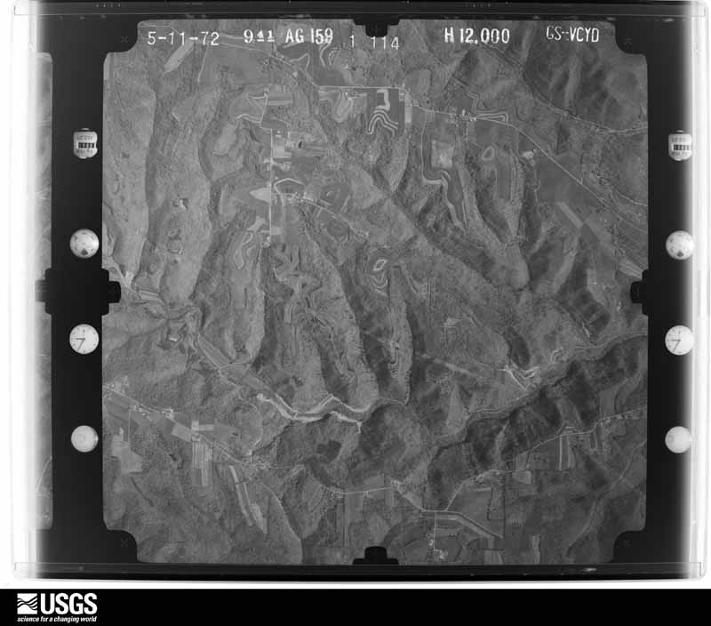
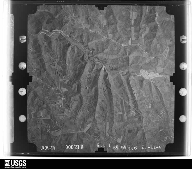
48 of 1,104 shown
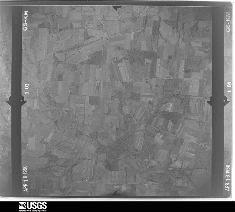
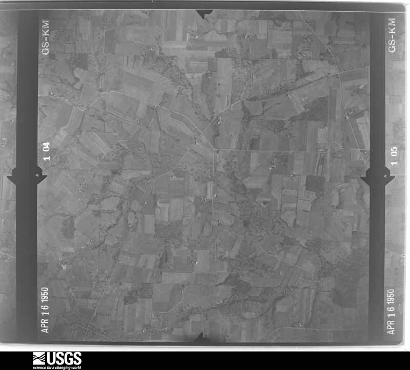
Flown by the U.S. Geological Survey
between 1937 and 1989, the Aerial Photo Single Frames collection is
the definitive mid-century view of the land: fields, roads and rivers
as the camera saw them. 1,104 frames touch this county; the
selection below spreads across the decades of flights (at most four
per year), so one flight cannot crowd out the rest. The full set is
free to browse and download at
EarthExplorer under the dataset Aerial Photo Single
Frames.
1950-04-27, scale 1:19200. U.S. Geological Survey aerial photograph.1950-04-27, scale 1:19200. U.S. Geological Survey aerial photograph.1950-04-27, scale 1:19200. U.S. Geological Survey aerial photograph.1950-04-27, scale 1:19200. U.S. Geological Survey aerial photograph.1952-03-20, scale 1:17000. U.S. Geological Survey aerial photograph.1952-03-20, scale 1:17000. U.S. Geological Survey aerial photograph.1952-03-20, scale 1:17000. U.S. Geological Survey aerial photograph.1952-03-20, scale 1:17000. U.S. Geological Survey aerial photograph.1954-04-09, scale 1:29000. U.S. Geological Survey aerial photograph.1954-04-09, scale 1:29000. U.S. Geological Survey aerial photograph.1954-04-09, scale 1:29000. U.S. Geological Survey aerial photograph.1954-04-09, scale 1:29000. U.S. Geological Survey aerial photograph.1958-04-17, scale 1:29000. U.S. Geological Survey aerial photograph.1958-04-17, scale 1:29000. U.S. Geological Survey aerial photograph.1958-04-17, scale 1:29000. U.S. Geological Survey aerial photograph.1958-04-17, scale 1:29000. U.S. Geological Survey aerial photograph.1959-10-29, scale 1:60000. U.S. Geological Survey aerial photograph.1959-10-29, scale 1:60000. U.S. Geological Survey aerial photograph.1959-10-29, scale 1:60000. U.S. Geological Survey aerial photograph.1959-10-29, scale 1:60000. U.S. Geological Survey aerial photograph.1960-05-03, scale 1:60000. U.S. Geological Survey aerial photograph.1960-05-03, scale 1:60000. U.S. Geological Survey aerial photograph.1960-05-03, scale 1:60000. U.S. Geological Survey aerial photograph.1960-05-03, scale 1:60000. U.S. Geological Survey aerial photograph.1962-04-21, scale 1:24000. U.S. Geological Survey aerial photograph.1962-04-21, scale 1:24000. U.S. Geological Survey aerial photograph.1962-04-21, scale 1:24000. U.S. Geological Survey aerial photograph.1962-04-21, scale 1:24000. U.S. Geological Survey aerial photograph.1965-11-04, scale 1:24000. U.S. Geological Survey aerial photograph.1965-11-04, scale 1:24000. U.S. Geological Survey aerial photograph.1965-11-04, scale 1:24000. U.S. Geological Survey aerial photograph.1965-11-04, scale 1:24000. U.S. Geological Survey aerial photograph.1966-11-13, scale 1:24000. U.S. Geological Survey aerial photograph.1966-11-13, scale 1:24000. U.S. Geological Survey aerial photograph.1966-11-13, scale 1:24000. U.S. Geological Survey aerial photograph.1966-11-13, scale 1:24000. U.S. Geological Survey aerial photograph.1969-04-20, scale 1:24000. U.S. Geological Survey aerial photograph.1969-04-20, scale 1:24000. U.S. Geological Survey aerial photograph.1969-04-20, scale 1:24000. U.S. Geological Survey aerial photograph.1969-04-20, scale 1:24000. U.S. Geological Survey aerial photograph.1971-04-16, scale 1:96586. U.S. Geological Survey aerial photograph.1971-04-16, scale 1:96586. U.S. Geological Survey aerial photograph.1971-04-16, scale 1:96586. U.S. Geological Survey aerial photograph.1971-05-09, scale 1:24000. U.S. Geological Survey aerial photograph.1972-05-11, scale 1:24000. U.S. Geological Survey aerial photograph.1972-05-11, scale 1:24000. U.S. Geological Survey aerial photograph.1972-05-11, scale 1:24000. U.S. Geological Survey aerial photograph.1972-05-11, scale 1:24000. U.S. Geological Survey aerial photograph.
City directories
3 volumes
The "who lived here, by year" answer:
pre-1929 public-domain directory volumes naming the county's people,
machine-read and searchable as text.
The thermometers that kept this
county's weather, and the gages that watched its rivers, as the
federal records hold them. The extremes below are measured values
from those records, not estimates.
Who lived here in 1950, one enumeration
district at a time, as the Census Bureau described each district.
Each row opens its official National Archives result, with Population
Schedules and ED Maps available there.
15-1Butler township: Butler township - That part east of State Hwy. 9
15-2Butler township - That part west of State Hwy. 9
15-3Center township: Lisbon village: Lisbon village - That part Bounded by Village limits; Village limits, Pritchard Ave.; E. High, W. High; Beaver, Market
15-4Lisbon village - That part Bounded by Village limits; Market, Beaver; W. High, Thomas Rd., Lincoln Ave. W. Lincoln Way; Village limits
15-5Lisbon village - That part Bounded by W. Lincoln Way, Lincoln Ave. Thomas Rd., W. High; Market; Village limits; Village limits
15-6Lisbon village - That part Bounded by E. High, Pritchard Ave., Village limits; Village limits; E. Lincoln Way; Market
15-7Lisbon village - That part Bounded by E. Lincoln Way; Village limits; Village limits; Market
15-8Center township - That part north of U.S. Hwy. 30 and State Hwy. 154, outside Lisbon village and excluding Columbiana County Infirmary
15-9Columbiana County Infirmary (In Center township)
15-10Center township - That part south of U.S. Hwy. 30 and State Hwy. 154, outside Lisbon village
15-11Elkrun township: Elkrun township - That part north and west of State Hwy. 154
15-12Elkrun township - That part south and east of State Hwy. 154
15-13Leetonia village, comprising parts of Fairfield and Salem townships: Leetonia village - That part in Fairfield township Bounded by Village limits; Village limits; Village limits; Township line
15-14Leetonia village - That part in Salem township Bounded by Village limits[; Township line; Columbia, Hazel, Chestnut, Main; Elm, Wood, Washington
15-15Leetonia village - That part in Salem township Bounded by Village limits; Washington, Wood, Elm, Main, Chestnut, Hazel, Columbia, Lisbon; State, Washington, Village limits; Village limits
15-16Leetonia village - That part in Salem township Bounded by State, Lisbon, Columbia; Township line; Village limits; Washington
15-17Fairfield township, outside Leetonia village: Columbiana village: Columbiana village - That part Bounded by Village limits; Village limits; E. Park Ave., S. Elm, Pittsburgh; S. Main, N. Main
15-18Columbiana village - That part Bounded by Village limits; N. Main, S. Main; W. Friend, Lisbon Road; Village limits
15-19Columbiana village - That part Bounded by Lisbon Road, W. Friend; S. Main; Village limits; Village limits
15-20Columbiana village - That part Bounded by Pittsburgh, S. Elm, E. Park Ave.; Village limits; Village limits; S. Main
15-21Fairfield township - That part east of Youngstown and Southeastern Railroad, outside Columbiana village
15-22Fairfield township - That part west of Youngstown and Southeastern Railroad outside Columbiana and Leetonia villages. (Remainder of Fairfield township is in Leetonia village)
15-26Hanover township - That part east and south of State Hwy. 9, outside Hanoverton village
15-27Hanover township - That part west and north of State Hwy. 9, outside Hanoverton village
15-28Knox township: Knox township - That part north of the section line from the northeast corner of section 24, Township 17, Range 5, to the northwest corner of section 19, Township 17, Range 5
15-29Knox township - That part south of the section line from the northeast corner of section 24, Township 17, Range 5. to the northwest corner of section 19, Township 17, Range 5
15-30Liverpool township: East Liverpool city: East Liverpool city - That part of Ward 1 Bounded by City limits; State line; Cincinnati and Portsmouth Railroad; Oakland Ave. Pennsylvania Ave. , Line Ave.
15-31East Liverpool city - That part of Ward 1 Bounded by City limits; Line Ave., Pennsylvania Ave., Oakland Ave.; Cincinnati and Portsmouth Railroad; Wedgewood, Pennsylvania Ave., Unity
15-32East Liverpool city - That part of Ward 1 Bounded by City limits; Unity, Pennsylvania Ave., Wedgewood; Cincinnati and Portsmouth Railroad; Central, Erie, Dewey
15-33East Liverpool city - That part of Ward 1 Bounded by City limits; Dewey, Erie, Central; Cincinnati and Portsmouth Railroad; Virginia, Maple, Boyce, Pennsylvania Ave., Race
15-34East Liverpool city - That part of Ward 1 Bounded by Standley May, Le Belle Ter., City limits; Race, Pennsylvania Ave., Boyce, Maple, Virginia; Cincinnati and Portsmouth Railroad, Mulberry, Pennsylvania Ave.; Ward line
15-35East Liverpool city - That part of Ward 1 Bounded by Pennsylvania Ave.; Mulberry, Cincinnati and Portsmouth Railroad, Beaver, Beaver extended; Ohio River; Ward line
15-36East Liverpool city - That part of Ward 1 Bounded by Cincinnati and Portsmouth Railroad; Central; Ohio River; Beaver extended, Beaver
15-37East Liverpool city - That part of Ward 1 Bounded by Cincinnati and Portsmouth Railroad; State line; Ohio River; Central
15-38East Liverpool city - That part of Ward 2 Bounded by City limits; City limits; Rubicon, Anderson Blvd., Lemon; St. Clair Ave., Blackmore, City limits
15-39East Liverpool city - That part of Ward 2 Bounded by Lemon, Anderson Blvd., Rubicon, City limits; LaBelle Ter.; Haywood, McKinnon; St. Clair Ave.
15-40East Liverpool city - That part of Ward 2 Bounded by McKinnon, Haywood; LaBelle Ter. Standley Way, Ward line; LaBelle Ter.. Hobbs Ter., Bank, Laura, Morton; St. Clair Ave.
15-41East Liverpool city - That part of Ward 2 Bounded by Morton; Avondale; Minerva; Walnut, St. Clair Ave.
15-42East Liverpool city - That part of Ward 2 Bounded by Morton; Laura; Huston, Minerva, Chester, Illinois; Avondale
15-43East Liverpool city - That part of Ward 2 Bounded by Bank, Hobbs Ter., LaBelle Ter.; Ward line; Pennsylvania Ave.; Ravine, Thompson Ave., Watson, Laura
15-44East Liverpool city - That part of Ward 2 Bounded by Illinois, Chester, Minerva, Huston; Laura; Watson, Blakely, Fawcett; Avondale
15-45East Liverpool city - That part of Ward 2 Bounded by St. Clair Ave., Walnut, Minerva; Avondale, Bradshaw Ave., Sugar; E. 5th; Broadway
15-46East Liverpool city - That part of Ward 2 Bounded by Bradshaw Ave. , Avondale, Fawcett, Blakely, Watson; Thompson Ave., Ravine; Pennsylvania Ave.; Sugar
15-47East Liverpool city - That part of Ward 2 Bounded by E. 5th, Pennsylvania Ave.; Ward line; Ohio River; Broadway
15-48East Liverpool city - That part of Ward 3 Bounded by City limits, Blackmore; St. Clair Ave.; Orchard Grove, Lincoln Ave., Hill; Dresden Ave., Trintvale
15-49East Liverpool city - That part of Ward 3 Bounded by Hill, Lincoln Ave. Orchard Grove; St. Clair Ave.; Jackman, Peake, Ray; Dresden Ave.
15-50East Liverpool city - That part of Ward 3 Bounded by Ray, Peake, Jackman; St. Clair Ave.; St. Clair Ave., Lincoln Ave., E. 8th; Dresden Ave.
15-51East Liverpool city - That part of Ward 3 Bounded by E. 8th; Lincoln Ave., Broadway; W. 5th; Jackson, W. 7th, Dresden Ave.
15-52East Liverpool city - That part of Ward 3, excluding Travelers Hotel Bounded by W. 5th; Broadway; W. 3rd; Jackson
15-53Travelers Hotel (In East Liverpool city, Ward 3)
15-54East Liverpool city - That part of Ward 3 Bounded by W. 3rd; Broadway; Ohio River; Jackson
15-55East Liverpool city - That part of Ward 4 Bounded by City limits; City limits, Trentvale, Kensmore Alley, Carpenter Run; Chestnut, John, May, Edgewood, Bates, Northside, Croft, Lisbon, Line between St. Aloysius and Spring Grove Cemeteries; City limits
15-56East Liverpool city - That part of Ward 4 Bounded by City limits, Line between St. Aloysius and Spring Grove Cemeteries; Lisbon, W. 9th, Hubbard, John, Chestnut; Carpenter Run, W. 8th; City limits
15-57East Liverpool city - That part of Ward 4 Bounded by Croft, Northside, Bates; Edgewood, May; John, Hubbard, W. 9th, Lisbon; Lisbon
15-58East Liverpool city - That part of Ward 4 Bounded by Dresden Ave.; W. 8th; Carpenter Run, Kensmore Alley
15-59East Liverpool city - That part of Ward 4 Bounded by W. 8th; Dresden Ave., W. 7th, Jackson; W. 6th, W. 6th extended; Carpenter Run
15-60East Liverpool city - That part of Ward 4 Bounded by W. 8th; Carpenter Run; Ohio River; City limits
15-61East Liverpool city - That part of Ward 4 Bounded by W. 6th extended, W. 6th; Jackson; W. 4th, W. 4th extended; Carpenter Run
15-62East Liverpool city - That part of Ward 4 Bounded by W. 4th extended, W. 4th; Jackson; Ohio River; Carpenter Run
15-63California Hollow, unincorporated Bounded by Liverpool - St. Clair township line; St. Clair Ave., East Liverpool corporate limits; East Liverpool corporate limits; Unnamed stream
15-64Liverpool township - That part Bounded by Township line; Township line; East Liverpool city limits; East Liverpool city limits, St. Clair Ave.
15-65Liverpool township - That part Bounded by Township line; Unnamed stream, East Liverpool city limits; Township line; Township line
15-68Middleton township - That part east of the section line from the northwest corner of section 3, Township 7, Range 1 to the southwest corner of section 34, Township 7. Range 1
15-69Middleton township - That part west of the section line from the northwest corner of section 3, Township 7, Range 1 to the southwest corner of section 34, Township 7, Range 1, outside Rogers village
15-70Perry township: Salem city: Salem city - That part of Ward 1 Bounded by City limits; N. Ellsworth Ave., W. 7th, Jennings Ave.; W. State; City limits
15-71Salem city - That part of Ward 1 Bounded by W. 7th; N. Ellsworth Ave. Ave.; W. State; Jennings Ave.
15-72Salem city - That part of Ward 1 Bounded by W. State; S. Ellsworth Ave.; Mill; Pittsburgh, Fort Wayne and Chicago Railway
15-73Salem city - That part of Ward 1 Bounded by W. State; Pittsburgh, Fort Wayne and Chicago Railway; Mill, Newgarden Ave., Arch; City limits
15-74Salem city - That part of Ward 1 Bounded by Arch, Newgarden Ave., Mill; S. Ellsworth Ave.; City limits; City limits
15-75Salem city - That part of Ward 2 Bounded by City limits; N. Lincoln Ave., Vine Ave. extended, Vine Ave.; E. 5th; N. Ellsworth Ave.
15-76Salem city - That part of Ward 2 Bounded by E. 5th; Vine Ave.; E. 3rd; N. Ellsworth Ave.
15-77Salem city - That part of Ward 2 Bounded by E. 3rd; Vine Ave.; E. State; N. Ellsworth Ave.
15-78Salem city - That part of Ward 3 Bounded by E. State; S. Lincoln Ave.; Franklin; S. Lundy Ave.
15-79Salem city - That part of Ward 3 Bounded by E. State; S. Lundy Ave.; Franklin; S. Ellsworth Ave.
15-80Salem city - That part of Ward 3 Bounded by Franklin; S. Lundy Ave., Cedar, S. Lincoln Ave.; City limits; S. Ellsworth Ave.
15-81Salem city - That part of Ward 3 Bounded by Franklin; S. Lincoln Ave.; Cedar; S. Lundy Ave.
15-82Salem city - That part of Ward 4 Bounded by City limits; City limits; City limits, E. State; N. Union Ave., E. 10th, N. Lincoln Ave.
15-83Salem city - That part of Ward 4 Bounded by E. 10th; N. Union Ave.; E. 3rd; Vine Ave., Vine Ave. extended, W. Lincoln Ave.
15-84Salem city - That part of Ward 4 Bounded by E. 3rd; N. Union Ave.; E. Pershing; S. Lincoln Ave., E. State, Vine Ave.
15-85Salem city - That part of Ward 4 Bounded by E. Pershing; S. Union Ave.; Maple, Franklin; S. Lincoln Ave.
15-86Salem city - That part of Ward 4 Bounded by E. State; City limits; City limits, Ridgewood; S. Union Ave.
15-87Salem city - That part of Ward 4 Bounded by Franklin, Maple; S. Union Ave. , Ridgewood, City limits; City limits; S. Lincoln Ave.
15-88Perry township - That part north of U.S. Hwy. 62 and State Hwy. 14, outside Salem city
15-89Perry township - That part south of U.S. Hwy. 62 and State Hwy. 14, outside Salem city
15-90St. Clair township: St. Clair township - That part east of U.S. Hwy. 30, and State Hwy. 170
15-91St. Clair township - That part west of State Hwy. 170, north and east of U.S. Hwy. 30
15-92St. Clair township - That part south and west of U.S. Hwy. 30
15-93Salem township, outside Leetonia village: Washingtonville village - That part in Columbiana County, comprising part of Salem township (Remainder of Washingtonville village is in Green township, Mahoning County)
15-94Salem township - That part north and east of State Hwy 558, east of Beaver Creek, and State Hwy. 45, outside Leetonia and Washingtonville villages
15-95Salem township - That part south and west of State Hwy. 558, west of Beaver Creek, and State Hwy. 45 (Remainder of Salem township is in Leetonia village)
15-96Unity township: East Palestine city: East Palestine city - That part of Ward 1 Bounded by City limits; City limits; E. Martin, Sebring, E. North Ave.; N. Market
15-97East Palestine city - That part of Ward 1 Bounded by E. North Ave., Sebring, E. Martin; City limits; Pennsylvania Railroad; N. Market
15-98East Palestine city - That part of Ward 2 Bounded by Pennsylvania Railroad; City limits; E. Taggart, State Line Rd., South, Anna, E. Main; N. Market
15-99East Palestine city - That part of Ward 2 Bounded by E. Main, Anna, South, State Line Rd., E. Taggart; City limits; City limits; S. Market
15-100East Palestine city - That part of Ward 3 Bounded by Bacon Ave., McCalla, Thomas, Pennsylvania Railroad; N. Market, S. Market; City limits; City limits, Carbon Hill Rd.
15-101East Palestine city - That part of Ward 3 Bounded by Pennsylvania Railroad; Thomas, McCalla; Bacon Ave., Carbon Hill Rd., City limits; City limits
15-102East Palestine city - That part of Ward 4 Bounded by City limits; N. Market; Pennsylvania Railroad, West, W. North Ave.; City limits
15-103East Palestine city - That part of Ward 4 Bounded by W. North Ave.; West; Pennsylvania Railroad; City limits
15-105Unity township - That part north of State Hwys. 14 and 165
15-106Unity township - That part south of State Hwys. 14 and 165 and north of Pennsylvania Railroad, outside East Palestine city and New Waterford village
15-107Unity township - That part south of Pennsylvania Railroad, outside East Palestine city and New Waterford village
15-108Washington township: Salineville village: Salineville village - That part Bounded by Village limits; Village limits; State Hwy. 39. E. Main, W. Main, Washington, Jefferson, Grant, High; Hanover, State Hwy. 644
15-109Salineville village - That part Bounded by State Hwy. 644, Hanover, High, Grant, Jefferson, Washington, W. Main; State, State Hwy. 164; Village limits; Village limits
15-110Salineville village - That part Bounded by W. Main, N. Main, State Hwy. 39; Village limits; Village limits; State Hwy. 164, State
15-111Washington township - That part outside Salineville village
15-113Wellsville township, coextensive with Wellsville city: Wellsville city - That part of Ward 1 Bounded by City limits; City limits, Ohio River; 3rd extended, 3rd, Lisbon, Little Yellow Creek; City limits
15-114Wellsville city - That part of Ward 1 Bounded by Little Yellow Creek; Lisbon, 3rd, Broadway; 6th, Ward line; City limits
15-115Wellsville city - That part of Ward 1 Bounded by 3rd, 3rd extended; Ohio River; Ward line, 6th; Broadway
15-116Wellsville city - That part of Ward 2 Bounded by 6th, Ward line; Ohio River; Ward line, 10th; Commerce, 9th, Broadway
15-117Wellsville city - That part of Ward 2 Bounded by Ward line, 6th; Broadway, 9th, Commerce; 10th, Ward line; City limits
15-118Wellsville city - That part of Ward 3 Bounded by Ward line, 10th; Commerce; 12th, Buckeye Ave . Cemetery Rd.; City limits
15-119Wellsville city - That part of Ward 3 Bounded by Cemetery Rd., Buckeye Ave., 12th; Commerce; 15th, Ward line; City limits
15-120Wellsville city - That part of Ward 3 Bounded by 10th, Ward line; Ohio River; Ward line, 15th; Commerce
15-121Wellsville city - That part of Ward 4 Bounded by 15th, Ward line; Ohio River; 18th extended, 18th; Maple
15-122Wellsville city - That part of Ward 4 Bounded by City limits, Ward line, 15th; Maple Ave.; 18th; Buckeye Ave., Crawford Ave., McQueens Run
15-123Wellsville city - That part of Ward 4 Bounded by McQueens Run, Crawford Ave. Buckeye Ave. 18th, 18th extended; Ohio River; City limits; City limits
15-124West township: West township - That part north of the section line from the northeast corner of section 24, Township 16, Range 5, to the northwest corner of section 19, Township 16, Range 5
15-125West township - That part south of the section line from the northeast corner of section 24, Township 16, Range 5, to the northwest corner of section 19, Township 16, Range 5
Every Sanborn volume opens with a printed index
naming the town's mills, tanneries, hotels and works by proprietor. Those
indexes were read off the scanned sheets by machine and then matched to each
other, so a business surveyed four times appears here once, with the years it
survived. 22 of these 124 were named in more than one atlas. Each carries a
crop of the line it was read from: the spelling is the recogniser's and the
1880s lithographer's, and the scan behind it is the proof.
Every wildfire the federal occurrence
database records inside this county: 164 of them, burning about
378 acres. 0 started naturally and 8 were
recorded as arson. Each settlement page carries the fires within five
miles of it.
Reported cause
Fires
Debris and open burning
98
Missing data/not specified/undetermined
30
Equipment and vehicle use
9
Arson/incendiarism
8
Smoking
7
Recreation and ceremony
5
Misuse of fire by a minor
3
Power generation/transmission/distribution
2
Railroad operations and maintenance
1
Other causes
1
The five largest, by the area the report
gives. Two of them were set deliberately.
Date
Cause
Size
Reported by
Name on the report
15 April 2003
Missing data/not specified/undetermined
78 acres
Ohio Department of Natural Resources
COLUMBIANA
2 May 2015
Arson/incendiarism
35 acres
Ohio Department of Natural Resources
1441
4 April 2013
Debris and open burning
25 acres
Ohio Department of Natural Resources
not named
12 April 2018
Arson/incendiarism
20 acres
Ohio Department of Natural Resources
13886
25 April 1994
Debris and open burning
10 acres
West Virginia Division of Forestry
LOCUST HILL ROAD
3 April 2010
Debris and open burning
10 acres
Ohio Department of Natural Resources
not named
8 April 1993
Railroad operations and maintenance
6.0 acres
West Virginia Division of Forestry
CRESENT
27 September 2019
Equipment and vehicle use
6.0 acres
Ohio Department of Natural Resources
15271
Every settlement page carries the fires within five
miles of it - see the settlement index below.
Storms, 1955 to
2026
60 of 614 shown
The
NOAA Storm Events Database holds
614 reports for this county, causing 0 deaths,
29 injuries and about $40,728,000 in recorded property damage.
Each settlement page carries the reports that name it.
Kind of event
Reports
Thunderstorm Wind
385
Hail
137
Flash Flood
47
Tornado
21
Flood
20
Heavy Rain
2
Funnel Cloud
1
Lightning
1
The most serious of them, by death, then
injury, then recorded damage. The accounts are quoted exactly as the
forecast office filed them.
An NWS storm survey found a downburst occurred in Thompson Park in East Liverpool. Widespread wind damage was found with trees snapped or uprooted, some falling on houses. Maximum wind gusts were estimated at 80-90 MPH. Two minor injuries were reported, one when a tree fell on a car, and another when a vehicle drove into a downed tree.
Flooding began 11 PM EDT, when State Rte 45 flooded in Salem Twp, 4 miles southwest of Leetonia. Rushing waters washed out a bridge and left a hole 65 ft by 125 ft. By 1115 PM EDT, significant flash flooding had spread to Lisbon. Six inches of rain fell, from 10 PM 27th to 4 AM EDT 28th; total rain 7.2 inches. Peak of flash flood was at 1230 to 1 AM EDT 28th. One man was trapped inside his home, when flood waters carried him and the home into Mill Site Creek about 1230 AM. His house broke apart when it was slammed against a bridge. He was later rescued from a tree. These streets flooded: Caldwell, Mill, Pritchard Ave, Moore, McKinley, East Chestnut. By 4 AM EDT 28th, significant flooding had spread to Elkton and Williamsport, and surrounding townships, including: Salem, Hanover, Butler, Center, and West. By 1230 PM EDT 28th, Pine Hollow Rd was closed 5 miles southwest of Rogers; and Leetonia Rd was closed in Leetonia. At least 100 homes suffered flood damage; several completely destroyed. Beaver Creek area in Lisbon hard hit, with several mobile homes washed away. Roads and bridges were washed out. 60 people took shelter at a school. 4000 customers lost electricity. By 5 PM EDT on 29th, only 16 roads remained closed in the county. (CORRECTED FOR DAMAGE AMOUNT, TO ADD WASHED OUT BRIDGE, AND MAN TRAPPED IN HOUSE)
An NWS storm survey found a microburst hit Salem with maximum winds estimated at 85 MPH with maximum width about 200 yards. A roof was ripped off a gas station with minor damage to a supermarket. A truck was overturned and a car was pushed on top of another. Numerous trees and power lines were knocked down with several large signs damaged.
Large hail, driven by high winds, occurred at a number of locations. Siding and roof damage occurred and a large number of cars were damaged. Crops were also damaged.
Emergency management reported Sandy Creek was flowing over roads and bridges near East Rochester. Flash flooding was also along Teegarden Road in Salem Township. A bridge was washed out on a county road in Elkrun Township.
This path was evaluated owing to the presence of a radar-depicted|mesovortex track. Damage along this extensive track was the most|considerable examined today, with abundant tree destruction in the|form of uprooted or snapped hardwood trunks, widespread snapped|large limbs and occasional fascia and shingle damage to single-|family residences. A tree was blown onto an occupied vehicle east|of Rogers, OH early in the swath before wind speed appeared to|increase considerably. Elsewhere along the path, several |outbuildings suffered roofing damage, including a barn in Lawrence|County, where a portion of the roofing structure was removed and |transported downwind among other local damage. Damage to power|poles along the swath appears tied to trees falling on power|lines.||Damage was concentrated in several areas, including the western|and northern sections of East Palestine, the area near Howell |Road/Route 14 area and areas adjacent to the Pennsylvania Turnpike|in Little Beaver and North Beaver Townships of Lawrence County,|PA.||Ultimately this damage was deemed to be non-tornadic but of|considerable intensity. The swath generally paralleled the radar-|depicted mesovortex on its southeast flank, but featured |considerable width and a modestly divergent pattern atypical of|mesovortex tornadoes. Nevertheless, the wind speed along this|swath was of comparable intensity to many tornadoes and over a |broader area, leading to the widespread damage observed.||At its peak over this roughly 11 mile swath examined, damage was|consistent with speed up to 80 mph at times. A vast majority of|the damage examined was consistent with wind of around 70 mph.||It is entirely probable that severe wind continued northeast of|the swath evaluated today, but a coherent swath was no longer|noted, and the radar-depicted mesovortex dissipated hereafter.
A downburst caused straight line wind damage near Lisbon with numerous tress snapped and uprooted, with a metal roof covering blown off a home. Maximum wind speeds were estimated at 80 MPH, with sporadic damage from lesser winds along a 3 mile long path.
Thunderstorm winds downed numerous trees and power lines across the county. In the Guilford Lake State Park area, two mobile homes were destroyed, two other mobile homes sustained major damage and five single-family dwellings sustained minor damage. A fallen tree also produced minor damage to the state park office, and another tree fell onto a vehicle.
A microburst with winds estimated at around 80 MPH produced damage across the Lisbon area. The microburst produced a path of sporadic wind damage about 1.5 miles in length. The width varied from about 100 feet near the start of the track to nearly 100 yards at the end. The path of the microburst was directed west to east across Ohio SR 30/45 approximately 3.5 miles southeast of Lisbon. One house sustained some structural damage near the roof and second story balcony. A mobile home was lifted from its foundation and several smaller sheds and out-buildings on the property were also damaged or destroyed. In addition, numerous trees and power lines were downed by the microburst winds.
Local media reported flash flooding on West 8th Street and surrounding streets in East Liverpool with 2 vehicles swamped and a mudslide on State Route 11.
Damage along this discontinuous path began in relatively open|terrain southeast of Hanoverton and continued to near Richey|School Road and Route 30 northeast of Hanoverton. The most|concentrated area of damage encountered was along Lindesmith Road,|where a farmstead was impacted by the tornadic wind. In and near|this location, several trees were snapped or uprooted, and several|additional large limbs had been snapped. Also here, sheet metal|roofing from a barn was removed, and two 3000 lb hay wagons were|relocated upwind of their prior location. Damage in this vicinity |likely was a combination of tornadic and non-tornadic wind. Toward|the end of its path, a home showed damage to its fascia. No|evidence of consistent damage was discovered thereafter. Maximum wind|along the path was estimated to be 75 MPH.
Thunderstorm winds estimated at around 60 MPH blew a pickup truck into several other vehicles in a parking lot. A tent-greenhouse constructed with a metal-pipe/aluminum frame was also destroyed in the parking lot, with the tent framing damaging several cars as it blew across the area.
A trained spotter reported trees and power lines down.
Mines and
quarries
20 recorded
The Survey's mineral resources record
lists 20 workings inside this county. 5 still
produce and 15 are closed or unrecorded. Each settlement
page carries the workings within five miles of it.
Commodity
Workings
Sand and Gravel, Construction
8
Clay
7
Chromium
1
Manganese
1
Fire Clay (Refractory)
1
Clay, Bituminous
1
Titanium, Silica, Iron, Aluminum
1
The least common of them first, because a
county's hundredth gravel pit says nothing its first ten did not.
Museum specimens collected inside this
county and catalogued with a date and a place: 1,401 of them, by
kingdom 786 animalia, 559 plantae, 55 fungi, 1 unrecorded. Each is a physical object in a named collection, not a
sighting. Held by CM, Ohio State University - Fish Division, Columbus, OH (OSUM), UMMZ, INHS, Ohio State University - Bird Division, Columbus, OH (OSUM), Ohio State University - Amphibian Division, Columbus, OH (OSUM) among others, and each settlement page carries
the specimens collected near it.
The oldest of them. A specimen proves
something was collected on that day; its absence proves nothing.
History of Columbiana County, Ohio devotes a chapter to each township:
its boundaries and streams, who settled it and when, the mills, the
schools and the churches. All 15 are reproduced here in full. Each row
shows the township's own shape and where it lies in the county, drawn from
the Census Bureau's boundary. Which settlements belong to which township
is computed from that same boundary, not taken from the book.
Everyone History of Columbiana County, Ohio stops to write about, with
the section that describes them. Among them are the men who founded the
place and governed the Territory. Each name opens the passage itself, in
the words of 1879.
Named settlements recorded in the Geographic Names
Information System, each with the topographic sheets covering it. Villages,
hamlets and abandoned places alike. Each is shown with the watercourse or
landform it stands on and the survey quadrangle it falls on. The 10
places that were also surveyed for fire insurance come first, with the
number of atlases and photographs held for them.
The complete index, with nothing left out.
Each of these is a separate record with its own page: a federal survey
report, or the case file that argued a property on to the National
Register. Both are public domain and reproduced word for word.
Topographic sheets. USGS Historical Topographic Map Collection, county index, measured from the bulk metadata.
Fire insurance maps. Library of Congress Sanborn collection, faceted to this county.
Photographs. Each place queried individually against the Library of Congress Prints and Photographs search.
Wildfire. Short, Karen C. 2022. Spatial wildfire occurrence data for the United States, 1992-2020 [FPA_FOD_20221014]. 6th Edition. Fort Collins, CO: Forest Service Research Data Archive. https://doi.org/10.2737/RDS-2013-0009.6 Collected with United States Government funding and usable without additional permissions or fees.
Specimens. Global Biodiversity Information Facility (GBIF), https://www.gbif.org/. Only records licensed CC0 or CC BY are used. Records licensed CC BY-NC are excluded because this site carries advertising. Images are checked individually and any whose licence is non-commercial, no-derivatives or unreadable is refused.
Mines and quarries. USGS Mineral Resources Data System (MRDS) https://mrdata.usgs.gov/mrds/ A work of the United States government, no copyright under 17 U.S.C. 105.
Storms. NOAA National Centers for Environmental Information, Storm Events Database https://www.ncei.noaa.gov/stormevents/ A work of the United States government, no copyright under 17 U.S.C. 105. Narratives are quoted verbatim from the National Weather Service report and are not edited or summarised.
 Block
Block