 Block
Block
Acushnet, Massachusetts
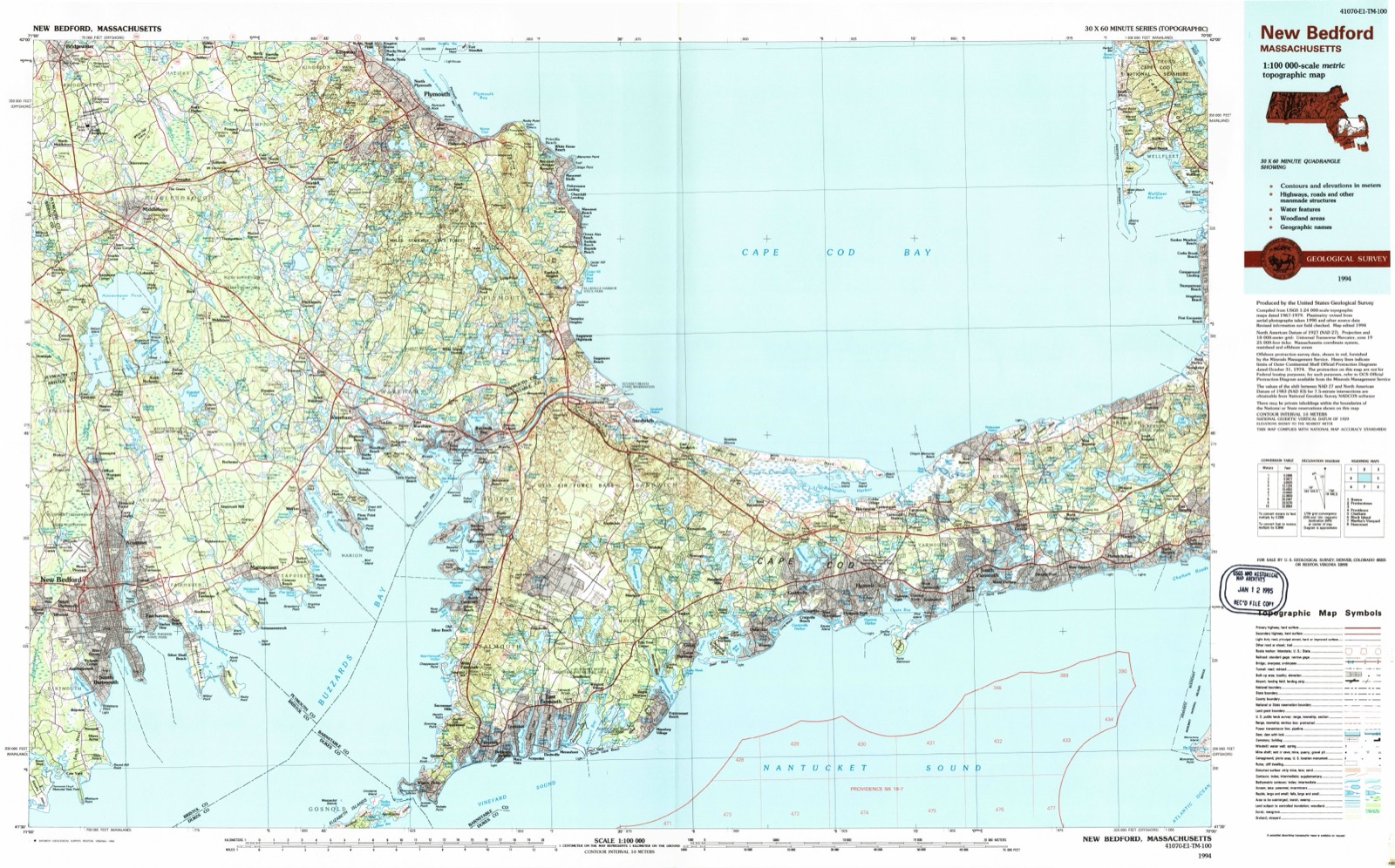
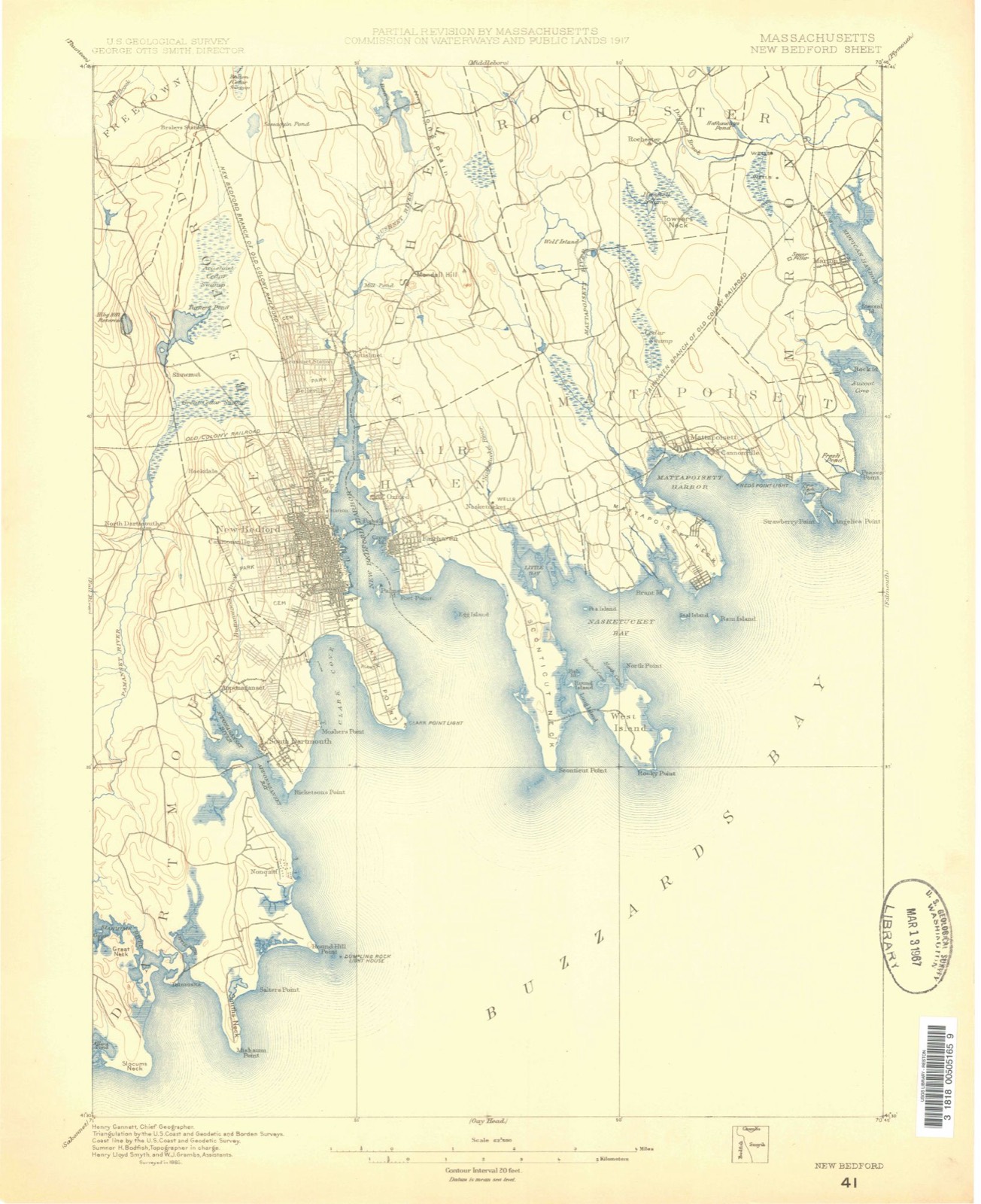
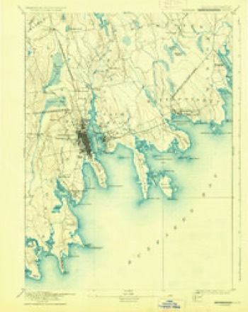
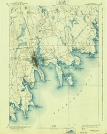
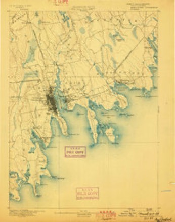
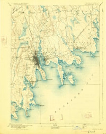
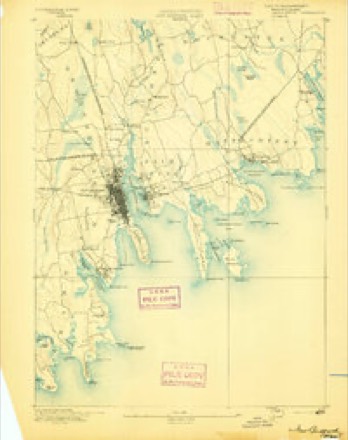
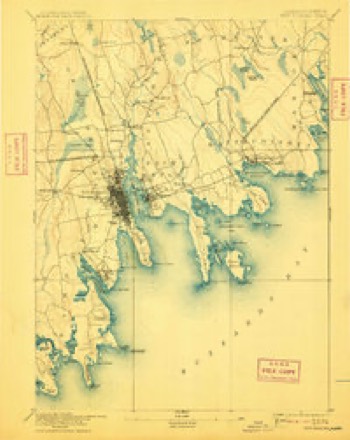
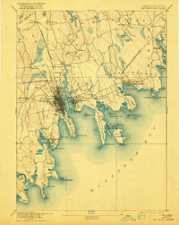
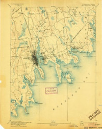
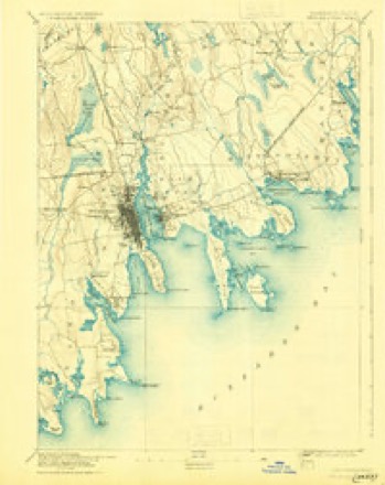
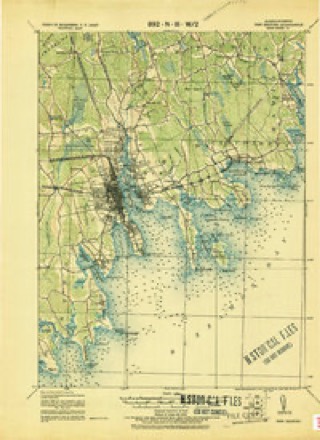
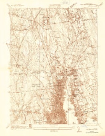
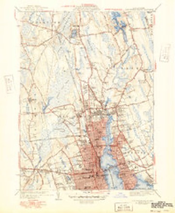
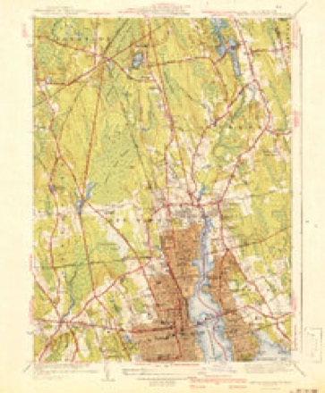
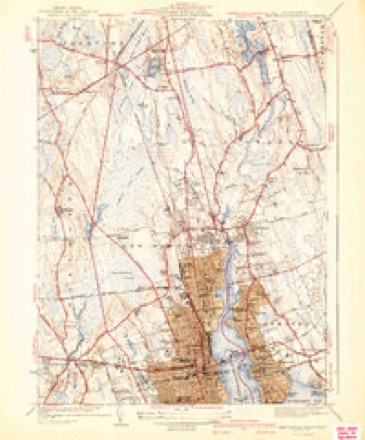
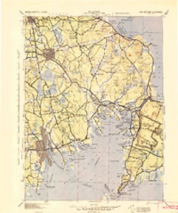
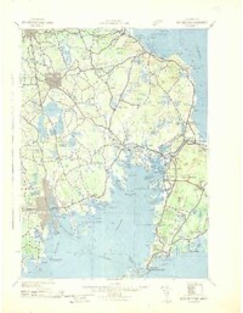
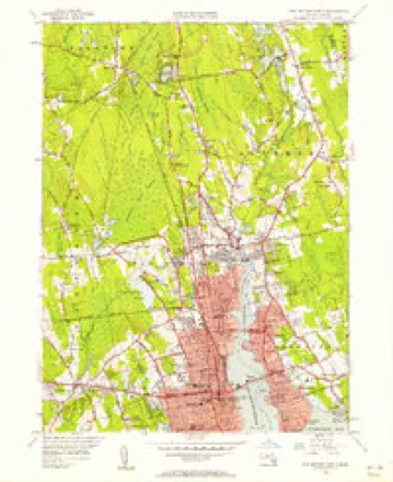
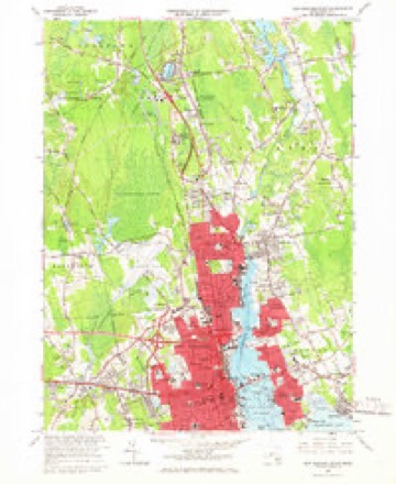
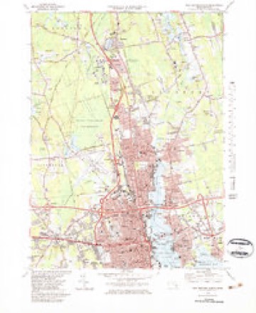
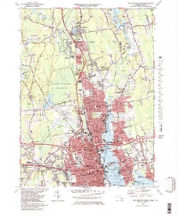
34 topographic sheets cover this place, the earliest surveyed in 1885 and the latest in 1994. It stands in Acushnet town. It lies in ZIP code area 02743. It stands on Tarkiln Hill. The Survey maps it on the New Bedford North quadrangle.
Then and now
1885 to 1994The same ground, surveyed 109 years apart. Drag the handle to wipe between them. Both sheets are United States Geological Survey originals; neither has been altered.
Topographic sheets covering this place
34 sheetsMatched by testing this settlement's coordinate against the published boundary of every sheet in the United States Geological Survey's historical collection. Each opens the scanned sheet at the Survey.
- 1885 USGS New Bedford quadrangle1:62500
- 1888 USGS New Bedford quadrangle1:62500
- 1893 USGS Fairhaven quadrangle1:62500
- 1893 USGS Fairhaven quadrangle1:62500
- 1893 USGS New Bedford quadrangle1:62500
- 1893 USGS New Bedford quadrangle1:62500
- 1893 USGS New Bedford quadrangle1:62500
- 1893 USGS New Bedford quadrangle1:62500
- 1893 USGS New Bedford quadrangle1:62500
- 1893 USGS New Bedford quadrangle1:62500
- 1893 USGS New Bedford quadrangle1:62500
- 1918 USGS New Bedford quadrangle1:62500
- 1936 USGS New Bedford North quadrangle1:24000
- 1941 USGS New Bedford North quadrangle1:31680
- 1941 USGS New Bedford North quadrangle1:31680
- 1941 USGS New Bedford North quadrangle1:31680
- 1942 USGS New Bedford quadrangle1:125000
- 1942 USGS New Bedford quadrangle1:125000
- 1947 USGS Providence quadrangle1:250000
- 1947 USGS Providence quadrangle1:250000
- 1947 USGS Providence quadrangle1:250000
- 1947 USGS Providence quadrangle1:250000
- 1947 USGS Providence quadrangle1:250000
- 1948 USGS New Bedford North quadrangle1:24000
- 1948 USGS Providence quadrangle1:250000
- 1957 USGS Providence quadrangle1:250000
- 1958 USGS Providence quadrangle1:250000
- 1963 USGS Providence quadrangle1:250000
- 1964 USGS New Bedford North quadrangle1:24000
- 1977 USGS New Bedford North quadrangle1:25000
- 1979 USGS New Bedford North quadrangle1:25000
- 1979 USGS New Bedford North quadrangle1:25000
- 1986 USGS New Bedford quadrangle1:100000
- 1994 USGS New Bedford quadrangle1:100000









In the county-history sources
22,761 words on this townshipAtlas of Bristol County, Massachusetts : from Actual Surveys, published 1871; History of Bristol County, Massachusetts, with Biographical Sketches of Many of Its Pioneers and Prominent Men, published 1883 names this settlement in its chapter on Acushnet Town. These are the passages that mention it, exactly as the scans read.
Taber, Robert B..Blank Books Manufd to order of the best quality of Paper,and Binding at short notice, all kinds of Letter, Note, Bill and Cap Paper Ruled to order, in any variety of Pattern or Color, and Printed or Lithographed to suit any taste, all kinds of Counting House Stationery constantly on hand, 49 Union st
Passage source: Atlas of Bristol County, Massachusetts : from Actual Surveys, published 1871.
In a warrant issued for a town-meeting in Fairhaven April 4, 1859, article eleven asked action on the petitions of Rev. Israel Washburn and others, " now referred to the next Legislature," with reference to a division of the town, and it was voted that a committee of five be nominated by the chair to define a line of division of the town and report. This committee as appointed and chosen consisted of Isaac Wood, Arthur Cox, Jonathan Cowen, Cyrus E. Clark, Charles H. Adams, and John Ellis. This committee reported at a meeting of June 2, 1859, and this same committee was requested to appear before the next Legislature and present all the facts in the case that could be procured by them. They did so, and not only that, but a petitioii in favor of the division was also presented, signed by a large number of the residents of the south part of the town. A result of this was that the committee of the Legislature before which the matter was heard reported in favor of the division, and the report was adopted.
Passage source: History of Bristol County, Massachusetts, with Biographical Sketches of Many of Its Pioneers and Prominent Men, published 1883.
The first public meeting of the legal voters of the new town was held March 14, 1860, in the "enginehouse," which stands in the village on the north side of the road, nearly opposite the parsonage house of the
Passage source: History of Bristol County, Massachusetts, with Biographical Sketches of Many of Its Pioneers and Prominent Men, published 1883.
Machine-read from a century-old scan, so expect the errors a machine makes: misspelled names, dropped words, stray characters.
Read the whole chapter on Acushnet Town - it names this place 51 more 51 times.
Photographs
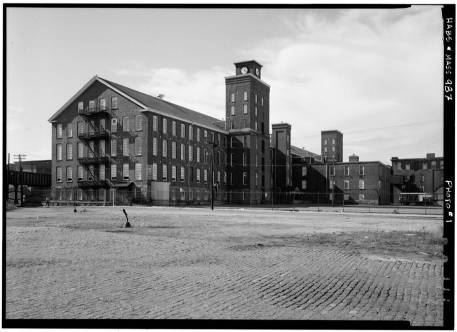
1 photograph,Taken for the Office of War Information and the Farm Security Administration, who photographed the country between 1935 and 1944. Works of United States government photographers, with no known restriction on use. Each opens its catalogue record.
Unattributed, . Library of Congress
Fires near this place
32 since 2015Regional context, not property-specific evidence. The federal wildfire occurrence database lists 32 fires within 5 miles of Acushnet between 2015 and 2020, burning about 26 acres in total. None started naturally. None was recorded as arson. Distance is straight-line from the map coordinates, so a fire counted here may appear on a neighbouring settlement's page as well.
| Reported cause | Fires |
|---|---|
| Missing data/not specified/undetermined | 15 |
| Debris and open burning | 9 |
| Recreation and ceremony | 3 |
| Smoking | 2 |
| Misuse of fire by a minor | 2 |
| Power generation/transmission/distribution | 1 |
The most recent of them, most recent first, with the day each was reported and the service that recorded it.
| Date | Cause | Size | Reported by | Name on the report |
|---|---|---|---|---|
| 21 September 2017 | Missing data/not specified/undetermined | under an acre | Massachusetts Bureau of Forest Fire Control | not named |
| 23 August 2016 | Power generation/transmission/distribution | 1.0 acres | Massachusetts Bureau of Forest Fire Control | not named |
| 2 August 2020 | Smoking | under an acre | Massachusetts Bureau of Forest Fire Control | not named |
| 11 August 2020 | Missing data/not specified/undetermined | under an acre | Massachusetts Bureau of Forest Fire Control | not named |
| 3 July 2016 | Missing data/not specified/undetermined | under an acre | Massachusetts Bureau of Forest Fire Control | MATTAPOISETT |
| 4 June 2020 | Debris and open burning | under an acre | Massachusetts Bureau of Forest Fire Control | not named |
| 3 May 2015 | Missing data/not specified/undetermined | under an acre | Massachusetts Bureau of Forest Fire Control | not named |
| 22 May 2017 | Missing data/not specified/undetermined | under an acre | Massachusetts Bureau of Forest Fire Control | not named |
Settlements close enough to share some of these fires:
Specimens collected near this place
12 of 2,083 shownRegional context, not property-specific evidence. Museums hold 2,083 specimens collected within 10 miles of Acushnet between 1824 and 1975: 795 Animalia, 601 Plantae, 575 Fungi, 85 Chromista, 23 Bacteria, 4 Unrecorded. 12 distinct Species records are shown. Collected by A. B. Gridley, A. Clark, A. F. Faull and others. Each is a physical object with a catalogue number, and each entry opens the museum's record. This is what was collected and kept, not a survey of what lives here - nothing can be concluded from a species being absent.
| Image | Species | Year | Collected by | Where, as recorded |
|---|---|---|---|---|
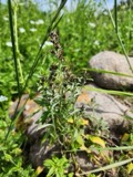 | Gamochaeta purpurea (L.) Cabrera | 1824 | T. A. Greene | |
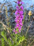 | Lythrum salicaria L. | 1831 | T. A. Greene | |
 | Mentha aquatica L. | 1831 | Collector unknown | New Bedford. [Inferred county from precise loc.] |
 | Trypethelium virens Tuck. | 1848 | ex herb. Oakes | New Bedford. |
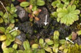 | Endocarpon pusillum Hedw. | 1858 | H. Willey | Fort Phoenix. Fairhaven. |
 | Menegazzia terebrata (Hoffm.) A.Massal. | 1860 | H. Willey | New Bedford |
 | Scolopax minor J.F.Gmelin, 1789 | 1860 | Alan Poole | Westport |
 | Abrothallus parmeliarum (Sommerf.) Nyl., 1869 | 1862 | Willey H. | Weymouth, New Bedford |
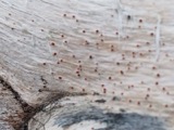 | Agyrium rufum (Pers.) Fr. | 1862 | Willey Henry | New Bedford |
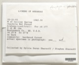 | Anaptychia palmatula (Michx.) Vain., 1899 | 1862 | H. Willey | New Bedford. |
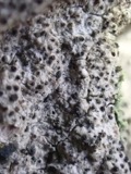 | Anisomeridium polypori (Ellis & Everh.) M.E.Barr | 1862 | H. Willey | New Bedford |
 | Anzia colpodes (Ach.) Stizenb. | 1862 | H. Willey | New Bedford. |
All 2,083 specimens within 10 miles, at the Global Biodiversity Information Facility.
Mines and quarries near this place
2 within 5 milesRegional context, not property-specific evidence. The federal mineral resources record lists 2 workings within 5 miles of Acushnet: 1 unknown, 1 producer. 1 still produces. What was taken out: Stone, Crushed/Broken. Distance is straight-line from the map coordinates, so a quarry counted here may appear on a neighbouring settlement's page as well.
| Where | Site | Commodity | Status | Recorded |
|---|---|---|---|---|
| Acushnet Quarry | Stone, Crushed/Broken | Unknown | ||
| Blue Stone Quarry | Stone, Crushed/Broken | Producer |
Storms near this place
20 since 1997Regional context, not property-specific evidence. The National Weather Service names Acushnet in 20 storm reports between 1997 and 2025: 6 hail, 6 thunderstorm wind, 5 flood, 2 flash flood. No death or injury is recorded in these reports. Each account below is quoted exactly as the forecast office filed it, from the NOAA Storm Events Database, and each date opens the federal record of that event.
| When | Event | Place named | Harm | What the report says |
|---|---|---|---|---|
| August 2005 | Flash Flood | Acushnet | $10,000 | no account filed |
| July 2025 | Thunderstorm Wind | Acushnet | $8,000 | In Acushnet, several trees were down including on a few cars. |
| May 2024 | Lightning | Acushnet | $5,000 | In Acushnet, a house was hit by lightning causing damage to the home electrical system on Beaver Dam Rd. |
| May 2013 | Flood | Acushnet | $5,000 | Belleville Avenue between Tarkiln Hill Road and Nash Road was flooded and nearly impassable. The basement of the Urban Grille on Purchase Street was flooded with 10 inches of water. |
| July 2012 | Thunderstorm Wind | Acushnet | $5,000 | Trees on Main Street were downed by thunderstorm winds. |
| July 2025 | Thunderstorm Wind | Acushnet | $2,000 | In Acushnet, there were several trees down. |
| July 2019 | Flood | Acushnet | $1,000 | In New Bedford, Belleville Avenue at Covell Street was closed due to flooding, with a car stuck in the flood waters. |
| July 2025 | Thunderstorm Wind | Acushnet | $300 | In Acushnet, there was a tree down blocking Hamlin St. |
| August 2024 | Hail | Acushnet | - | In Acushnet, 1 inch hail fell. |
| August 2024 | Hail | Acushnet | - | In Acushnet, 0.75 inch hail fell. |
| August 2022 | Flood | Acushnet | - | Street flooding caused the closure of Belleville Road at Covell Street. Also, there was street flooding on Nash Road, with 6 to 12 inches of water on the roadway. |
| March 2020 | Hail | Acushnet | - | At 907 PM EST, dime size hail was reported by amateur radio operators in New Bedford, at the Acushnet town line. |
| October 2012 | Flash Flood | Acushnet | - | Two and a half feet of water flooded Main Street near Belleville Avenue in New Bedford. The intersections of Church and Princeton Streets and Ashley Boulevard and Wood Street were flooded with a foot and a half of water. Purchase Street was flooded with a foot and a half of water. Phillips Road near Pine Hill Drive was flooded with a foot of water. A condo complex on Heritage Drive was flooded with a foot of water. Belleville Road was closed due to two and a half feet of water over the road. |
| July 2011 | Flood | Acushnet | - | Street flooding on Christian and Belleville Avenues, Hatch Street, and Brooklawn Park all with a foot or more of water over the road. |
| June 2010 | Flood | Acushnet | - | A portion of Main Street, extending from the fire station to 310 Main Street, was flooded and impassable. |
| August 2007 | Thunderstorm Wind | Acushnet | - | Large tree limbs down on Main Street. |
| August 2008 | Hail | Acushnet | - | no account filed |
| June 1998 | Thunderstorm Wind | Acushnet | - | no account filed |
| July 1997 | Hail | Acushnet | - | no account filed |
| July 1997 | Hail | Acushnet | - | no account filed |
Nearest settlements
The eight closest, with where each one stands in the county. Distances are straight-line, computed from the Geographic Names Information System coordinates.
| Map | Place | Distance | Sheets |
|---|---|---|---|
| Coury Heights | 1.4 miles | 34 | |
| North Fairhaven | 1.5 miles | 34 | |
| Acushnet Station (historical) | 1.7 miles | 34 | |
| Oxford | 1.7 miles | 34 | |
| Sherwood Forest | 2.1 miles | 34 | |
| Mount Pleasant | 2.7 miles | 34 | |
| Plainville | 2.8 miles | 34 | |
| Fairhaven | 3.0 miles | 34 |
Provenance
This settlement is recorded in the Geographic Names Information System as feature 613623. The sheet list is computed by point-in-boundary test against the United States Geological Survey's historical topographic inventory. Both are works of the United States government and carry no copyright under 17 U.S.C. 105.
Wildfire. Short, Karen C. 2022. Spatial wildfire occurrence data for the United States, 1992-2020 [FPA_FOD_20221014]. 6th Edition. Fort Collins, CO: Forest Service Research Data Archive. https://doi.org/10.2737/RDS-2013-0009.6 Collected with United States Government funding and usable without additional permissions or fees.
Specimens. Global Biodiversity Information Facility (GBIF), https://www.gbif.org/. Only records licensed CC0 or CC BY are used. Records licensed CC BY-NC are excluded because this site carries advertising. Images are checked individually and any whose licence is non-commercial, no-derivatives or unreadable is refused.
Mines and quarries. USGS Mineral Resources Data System (MRDS) https://mrdata.usgs.gov/mrds/ A work of the United States government, no copyright under 17 U.S.C. 105.
Storms. NOAA National Centers for Environmental Information, Storm Events Database https://www.ncei.noaa.gov/stormevents/ A work of the United States government, no copyright under 17 U.S.C. 105. Narratives are quoted verbatim from the National Weather Service report and are not edited or summarised.