 Block
Adams Ridge, Ohio
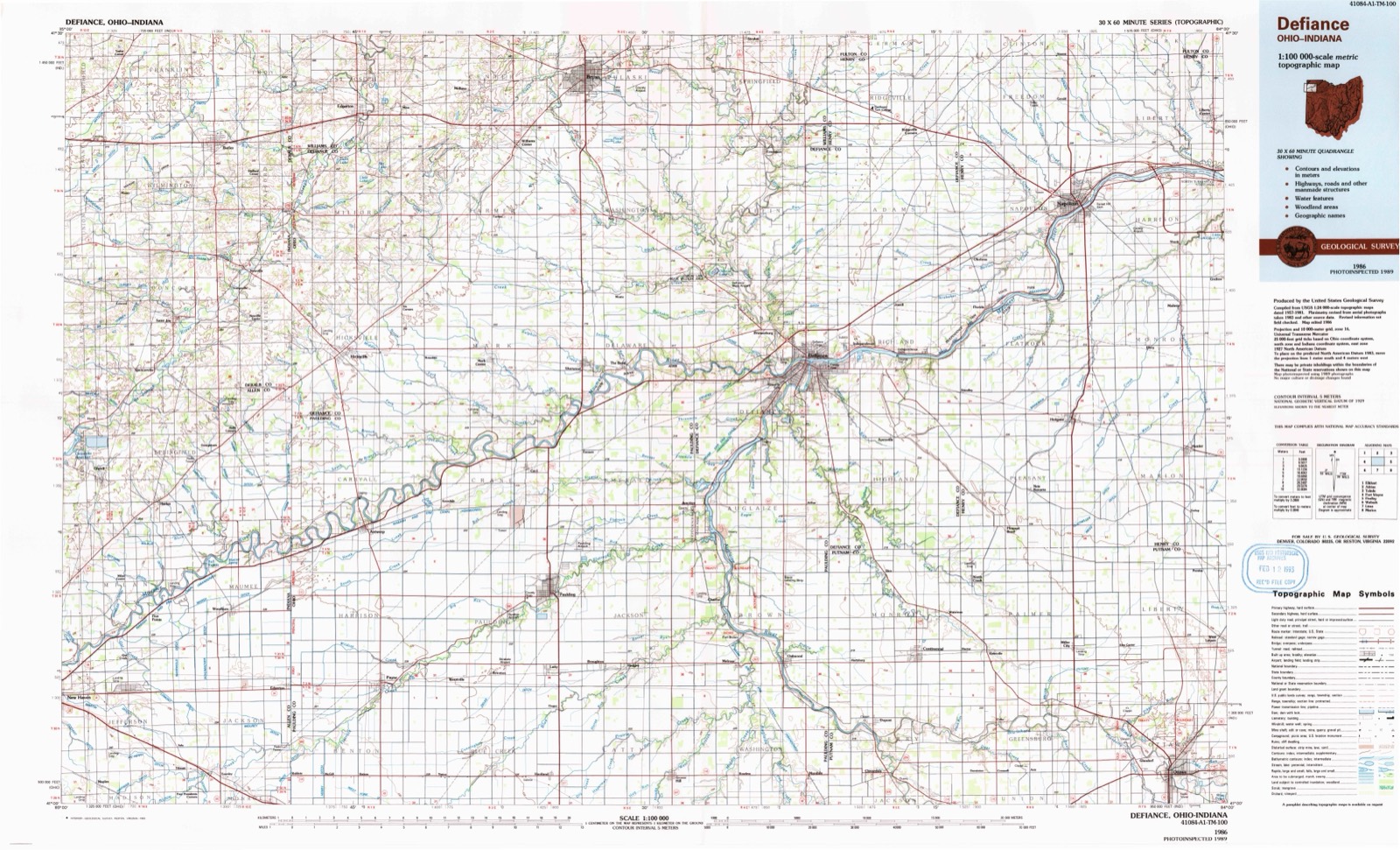
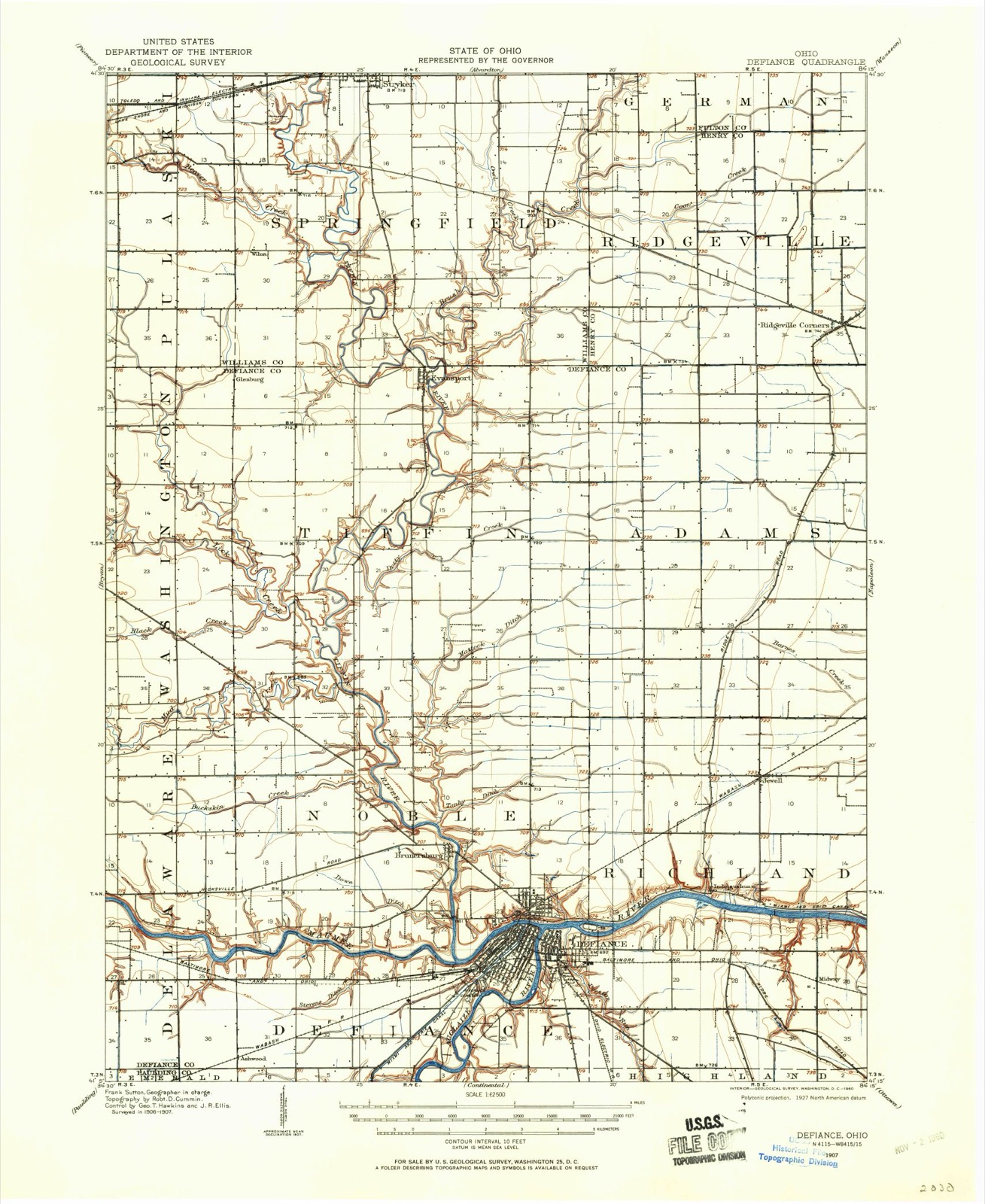
12 topographic sheets cover this place, the earliest surveyed in 1907 and the latest in 1986. It stands in Adams Township. It lies in ZIP code area 43512. The Survey maps it on the Ridgeville Corners quadrangle.
Then and now
1907 to 1986The same ground, surveyed 79 years apart. Drag the handle to wipe between them. Both sheets are United States Geological Survey originals; neither has been altered.
Topographic sheets covering this place
6 surveys from 12 printed sheetsMatched by testing this settlement's coordinate against the published boundary of every sheet in the United States Geological Survey's historical collection. Each opens the scanned sheet at the Survey.
- 1907 USGS Defiance quadrangle1:62500
- 1909 USGS Defiance quadrangle1:62500
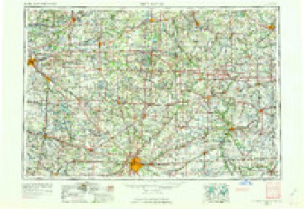
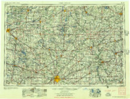
- 1953 USGS Fort Wayne quadrangle1:250000, 4 printings
- 1956 USGS Fort Wayne quadrangle1:250000, 2 printings
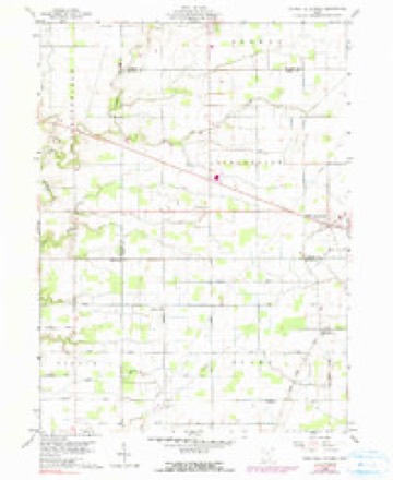
- 1959 USGS Ridgeville Corners quadrangle1:24000, 3 printings
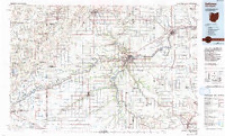
- 1986 USGS Defiance quadrangle1:100000
Fires near this place
5 since 2020Regional context, not property-specific evidence. The federal wildfire occurrence database lists 5 fires within 5 miles of Adams Ridge in 2020, burning about 8 acres in total. None started naturally. None was recorded as arson. Distance is straight-line from the map coordinates, so a fire counted here may appear on a neighbouring settlement's page as well.
| Reported cause | Fires |
|---|---|
| Debris and open burning | 3 |
| Equipment and vehicle use | 1 |
| Recreation and ceremony | 1 |
The most recent of them, most recent first, with the day each was reported and the service that recorded it.
| Date | Cause | Size | Reported by | Name on the report |
|---|---|---|---|---|
| 24 September 2020 | Equipment and vehicle use | under an acre | Ohio Department of Natural Resources | 15828 |
| 8 March 2020 | Debris and open burning | 2.0 acres | Ohio Department of Natural Resources | 15506 |
| 8 November 2020 | Recreation and ceremony | under an acre | Ohio Department of Natural Resources | 15900 |
| 20 October 2020 | Debris and open burning | under an acre | Ohio Department of Natural Resources | 15860 |
| 16 October 2020 | Debris and open burning | 5.0 acres | Ohio Department of Natural Resources | 15853 |
Settlements close enough to share some of these fires:
Specimens collected near this place
12 of 167 shownRegional context, not property-specific evidence. Museums hold 167 specimens collected within 10 miles of Adams Ridge between 1858 and 1974: 159 Animalia, 4 Plantae, 4 Fungi. 12 distinct Species records are shown. Collected by Athearn, Herbert D., B. B. Kingsbury, C. E. Shoop and others. Each is a physical object with a catalogue number, and each entry opens the museum's record. This is what was collected and kept, not a survey of what lives here - nothing can be concluded from a species being absent.
| Image | Species | Year | Collected by | Where, as recorded |
|---|---|---|---|---|
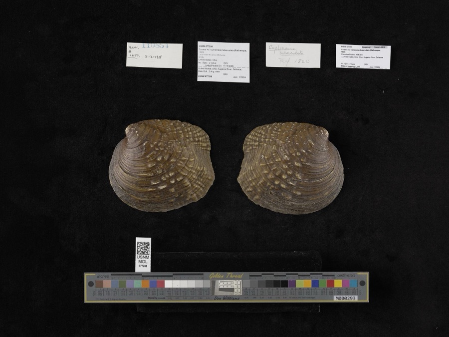 | Cyclonaias tuberculata (Rafinesque, 1820) | 1908 | not recorded | Auglaize River, Defiance |
 | Trifolium subcaulescens A.Gray | 1858 | J. S. Newberry | Fort Defiance |
 | Moxostoma anisurum (Rafinesque, 1820) | 1860 | unknown | Brunersburg |
 | Moxostoma erythrurum (Rafinesque, 1818) | 1860 | unknown | Brunersburg |
 | Ammocrypta pellucida (Putnam, 1863) | 1893 | not recorded | Defiance, Ohio |
 | Aplodinotus grunniens Rafinesque, 1819 | 1893 | U.S. Fish Commission | DEFIANCE, OHIO |
 | Cambarus rusticus Girard, 1852 | 1893 | P. Kirsch | Anglaize River, Defiance |
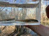 | Etheostoma nigrum Rafinesque, 1820 | 1893 | not recorded | Maumee River, Defiance, Ohio |
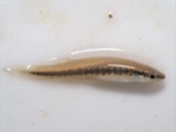 | Fundulus notatus (Rafinesque, 1820) | 1893 | P. Kirsch | Maumee River, Defiance, Ohio |
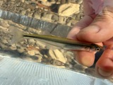 | Labidesthes sicculus (Cope, 1865) | 1893 | P. Kirsch | Maumee River, Defiance, Ohio |
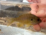 | Lepomis megalotis (Rafinesque, 1820) | 1893 | P. Kirsch | Tiffin Rver, Brunersburg, Ohio |
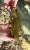 | Micropterus dolomieu Lacepède, 1802 | 1893 | P. Kirsch | Maumee River, Defiance, Ohio |
All 167 specimens within 10 miles, at the Global Biodiversity Information Facility.
Nearest settlements
The eight closest, with where each one stands in the county. Distances are straight-line, computed from the Geographic Names Information System coordinates.
| Map | Place | Distance | Sheets |
|---|---|---|---|
| Domerville (historical) | 3.3 miles | 12 | |
| Jewell | 5.1 miles | 12 | |
| Evansport | 7.2 miles | 11 | |
| Independence | 7.2 miles | 12 | |
| Midway (historical) | 8.5 miles | 12 | |
| North Town Estates | 8.6 miles | 12 | |
| Millers Rolling Hills Estates | 8.8 miles | 12 | |
| Cooks Rolling Hills | 8.9 miles | 12 |
Provenance
This settlement is recorded in the Geographic Names Information System as feature 1057287. The sheet list is computed by point-in-boundary test against the United States Geological Survey's historical topographic inventory. Both are works of the United States government and carry no copyright under 17 U.S.C. 105.
Wildfire. Short, Karen C. 2022. Spatial wildfire occurrence data for the United States, 1992-2020 [FPA_FOD_20221014]. 6th Edition. Fort Collins, CO: Forest Service Research Data Archive. https://doi.org/10.2737/RDS-2013-0009.6 Collected with United States Government funding and usable without additional permissions or fees.
Specimens. Global Biodiversity Information Facility (GBIF), https://www.gbif.org/. Only records licensed CC0 or CC BY are used. Records licensed CC BY-NC are excluded because this site carries advertising. Images are checked individually and any whose licence is non-commercial, no-derivatives or unreadable is refused.