46 topographic sheets and 20 fire insurance
atlases across 3 places.
Research this county
This curated hub for Defiance County, Ohio brings together the page's documented record links, visible map or image evidence where published, and routes to related local records.
Use the page's provenance and linked records to distinguish the source material from the site's navigation and summaries.
How should I cite it?
Open the original record, preserve its repository and identifier, then use the citation tool for this page as a path back to the source.
Where should I go next?
Follow the county or state hub for related places and records, then use the guide for a source-aware research sequence.
From the record
“PORK PACKING AND PROVISIONS The Cincinnati Price Current of May 91 K-ports 580.000 hogs killed in the West last week, compared with 575.000 week he fore, 465.000 two weeks ago and 735 000 a year ago. The total from March 1 is lD proximately 5.560.000. against 5 735 0(mj» year ago - a decrease of 175.000.”
Pork Packing And Provisions - History of Defiance County, Ohio. Containing a History of the County; Its Townships, Towns, Etc.; Military Record; Portraits of Early Settlers and Prominent Men; Farm Views, Personal Reminiscences, Etc (1883). Machine-read text.
8 National Register listings · 39 businesses named in the fire insurance atlases from 1884 to 1913 · the 1883 county history tells 7 stories and names 198 people · people the book names include John H. Aietz (Defiance Township, 1899) · Ex-Governor Charles Foster (Delaware Township, 1895) (machine-read).
Ohio within the United StatesDefiance County within Ohio
Explore by year
What the record shows
3 places in this county were surveyed for fire insurance: Defiance, Hicksville, Sherwood, between 1884 and 1946.
20 fire insurance atlas(es) survive for the county. Topographic coverage is national; fire insurance survey reached only incorporated places with something worth insuring.
390 topographic sheet readings cover the county's settlements.
8 properties here are on the National Register of Historic Places, including 2 houses and farms.
3 of the 8 listings were added during the 1970s.
The Geographic Names Information System records 33 populated places in this county; 0 are covered by at least one topographic sheet.
4 public-domain county histories, 1883 to 1899, supply 647,072 words of narrative reproduced here in full.
What happened here
7 accounts
A captivity, a drowning, a famine, a man
scalped clearing his lot in 1789. These are passages from History of Defiance County, Ohio. Containing a History of the County; Its Townships, Towns, Etc.; Military Record; Portraits of Early Settlers and Prominent Men; Farm Views, Personal Reminiscences, Etc, written
while people who remembered the events were still alive, and each one
opens the section it comes from.
1883, Delaware Township
Memorial Amd Biographical Record Oe
Tennessee; Sand Mountain, Alabama; Black Warrior Creek, Alabama; Blount's Farm, Alabama; and many skirmishes with bushwhackers. May 3, 1863, he was captured and was sent to Atlanta, where | he was held for a few days and then transferred, to Knoxville, and finally to Richmond, where he was held in captivity at Belle Isle prison for a fortnight.
G. C. M. of Leipsic, O., is having a pretty serious time with his chickens, and he asks for advice in the case. The chickens are having what seems to be an epidemic, and are dying pretty fast, I judge. Many of them get lame. Some are not thus affected and die within a few days, while those that are lame linger from ten days to two weeks.
I am always interested in the articles written for the Ohio Farmer by Prof. W. F. Massey. In the issue of Dec. 28 there appears this statement in an article headed, "Farming for Clover:" "In all my farming experience I never failed with a crop of clover but once, and that was killed by frost as it germinated." I want to ask Prof.
PORK PACKING AND PROVISIONS The Cincinnati Price Current of April 30 reports 3S0.000 hogs killed in the West 1 1 <= t week, compared with 370.000 week before. 405.000 two weeks ngo and 620.000 a vear ago. The total from March 1 Is approximately 3.940.000. against 4.075.000 a year ago - n decrease of 135.000.
PORK PACKING AND PROVISIONS The Cincinnati Price Current of May 14 reports 575.000 hogs killed in the W< -1 last week. compared with 465.000 week b fore, S80.000 two weeks ago and 535.000 a year ago. The total from March 1 is approximately 4.980,000, against 5.130.000 a year ago - a decrease of 150.000.
PORK PACKING AND PROVISIONS The Cincinnati Price Current of May 91 K-ports 580.000 hogs killed in the West last week, compared with 575.000 week he fore, 465.000 two weeks ago and 735 000 a year ago. The total from March 1 is lD proximately 5.560.000. against 5 735 0(mj» year ago - a decrease of 175.000.
The Cincinnati Price Current of June 4 reports 545.000 hogs killed in the West last week, compared with 595.000 week 1 before, 580.000 two weeks ago and 545.000 I a year ago. The total from March 1 is approximately 6.700.000, against 6,975,000 | a year ago - a decrease of 275.000. Prices ' were steady during the week, the general closing price at prominent markets being $5.30 per cwt, as compared with $5.30 last week, $5.45 two weeks ago.
Defiance County holds 0 covered bridges on
the National Register, more than any other property type here. Each is a listed
structure with a federal nomination on file.
Digitised newspapers
6 issues
Sampled issues, machine-read from the
Library of Congress scan and published page by page, so every headline
and column is searchable text.
The News-Tribune
Hicksville, Ohio, 1923 to Current. Machine-read from the Library of Congress scan.
Drawn when these were printed as
single large sheets: the town seen from the air, and the county
divided into its farms with every owner named. Each opens the
original at the Library of Congress.
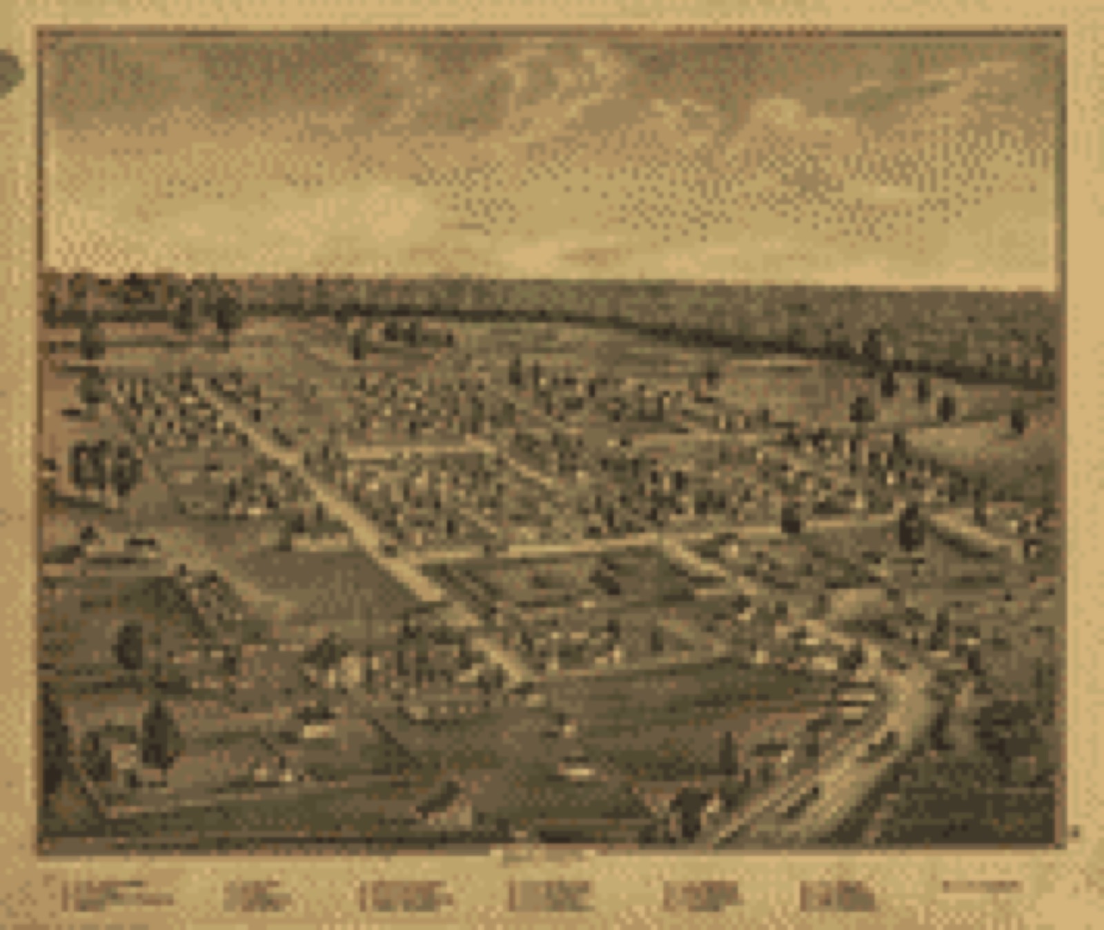
Bird's-eye view (1875) - Combination atlas map of Logan county, Ohio,. Library of Congress.Land ownership map (1890) - Atlas of Logan County, Ohio. Library of Congress.
Photographs from libraries nationwide
3 of 23 shown
Selected from the Digital Public Library
of America's 23 image records catalogued for this county. Every
one shown here carries a public-domain status or a licence that permits
reuse on a site that carries advertising; non-commercial, share-alike
and restricted images are excluded. The selection is spread across the
county's towns (at most eight per town), so no single institution's
bulk upload crowds out the rest. Each opens the holding library's
record, and
the complete set at the
Digital Public Library of America is one click away.
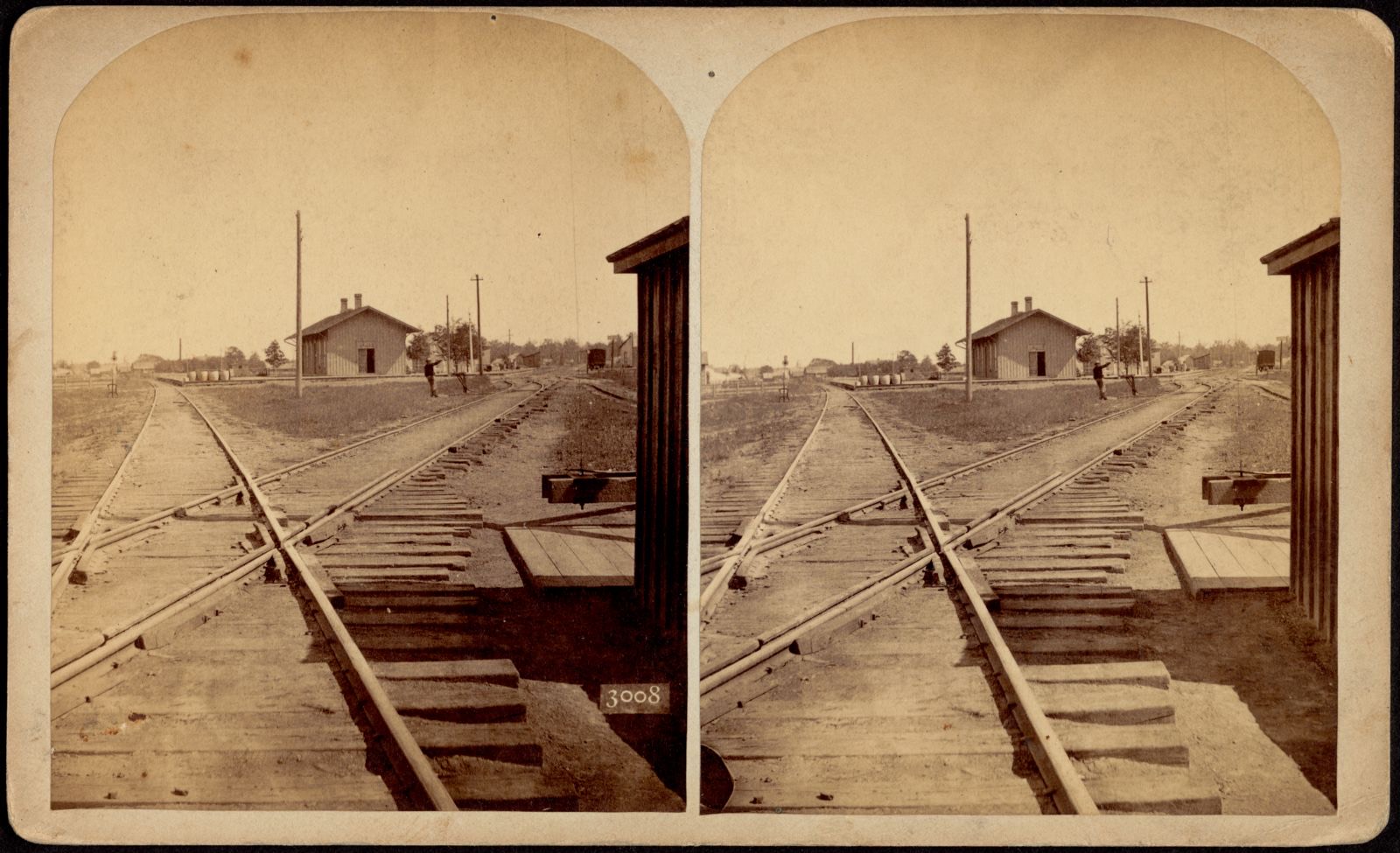
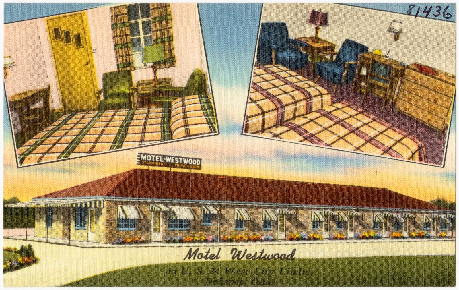
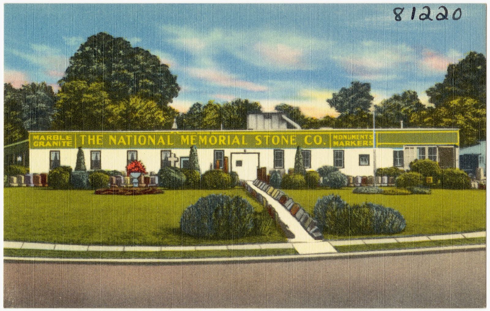
Defiance, O. B and O. crossing. Boston Public Library, via the Digital Public Library of America.Motel westwood, on U.S. 24 west city limits, Defiance, Ohio. Boston Public Library, via the Digital Public Library of America.The National Memorial Stone Co.. Boston Public Library, via the Digital Public Library of America.
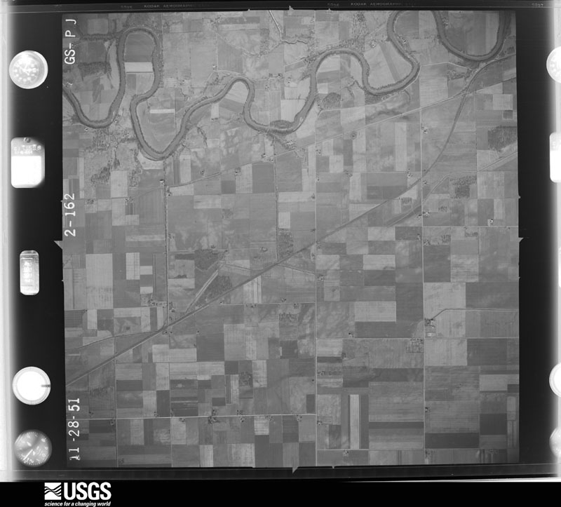
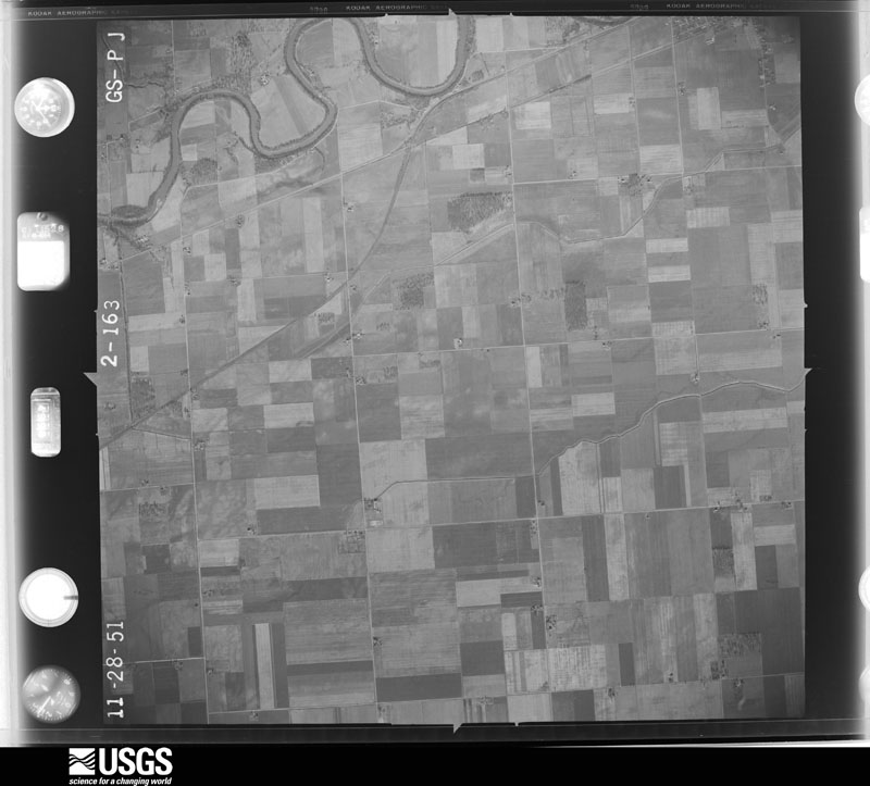
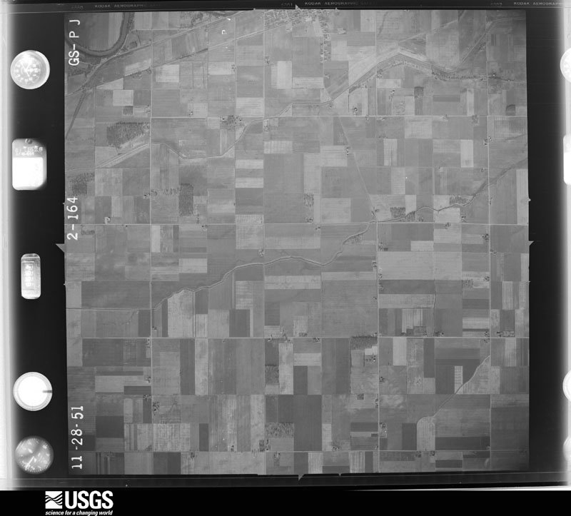
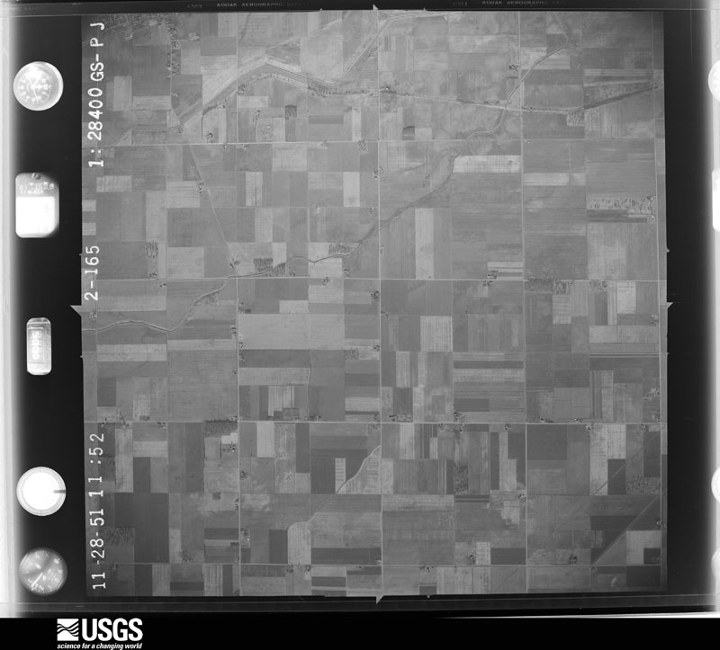
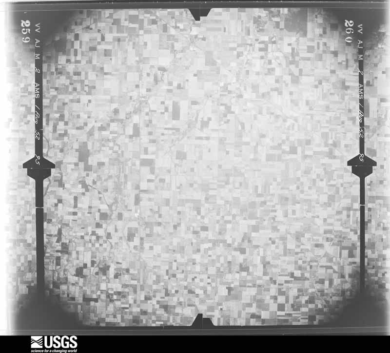
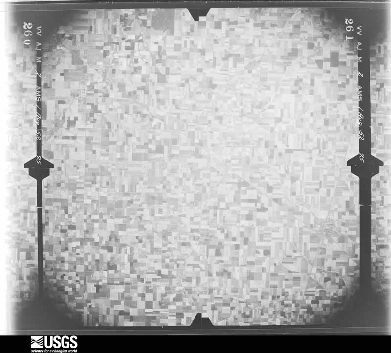
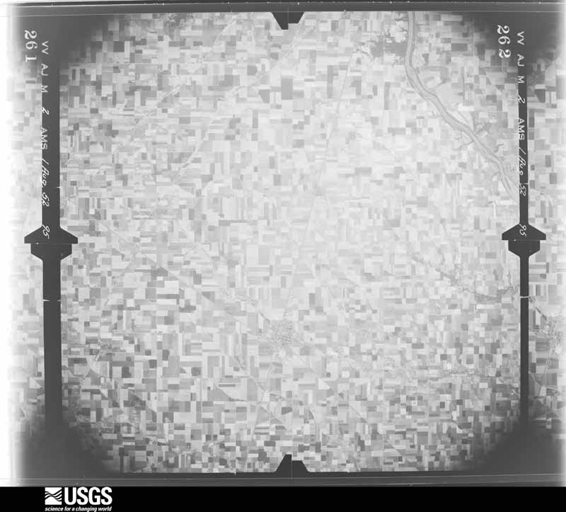
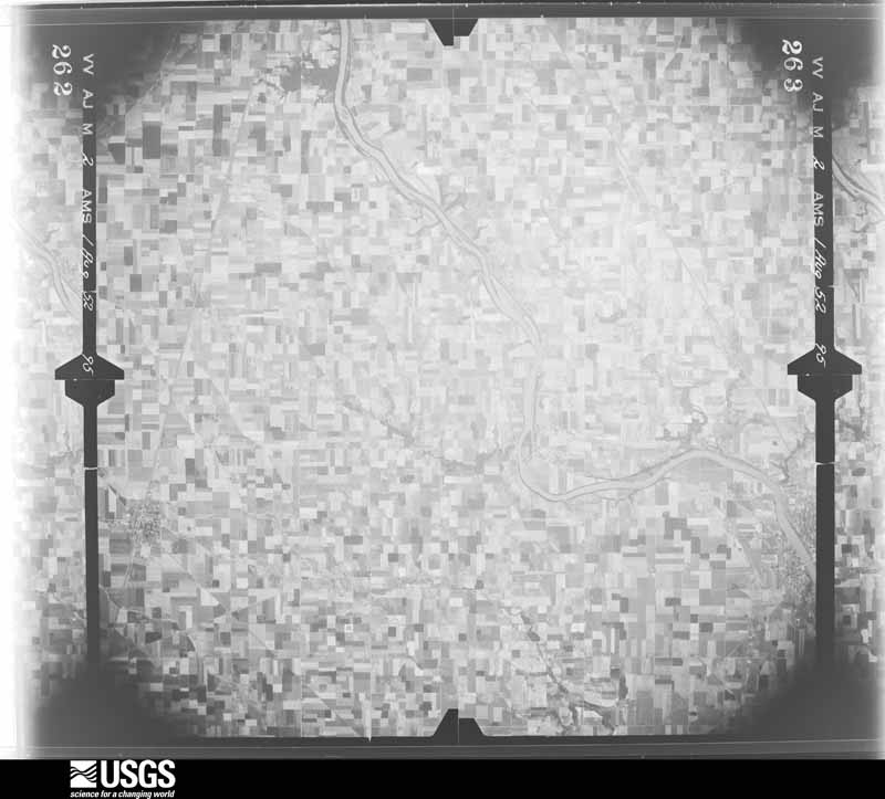
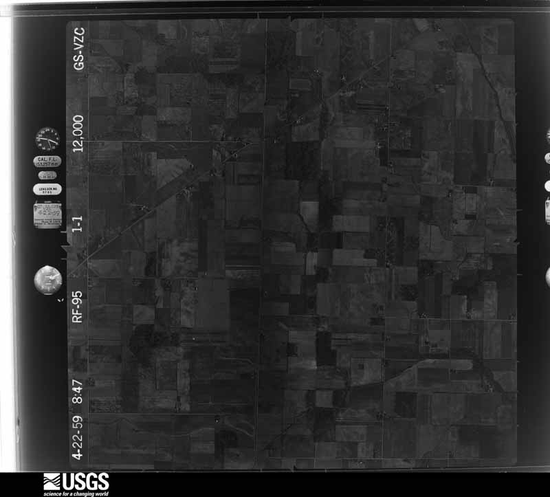
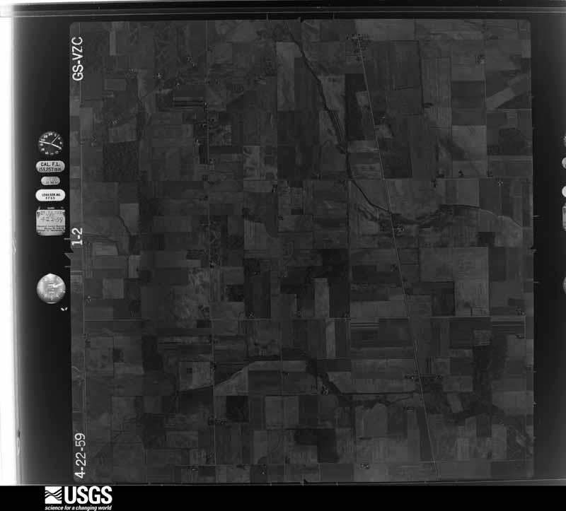
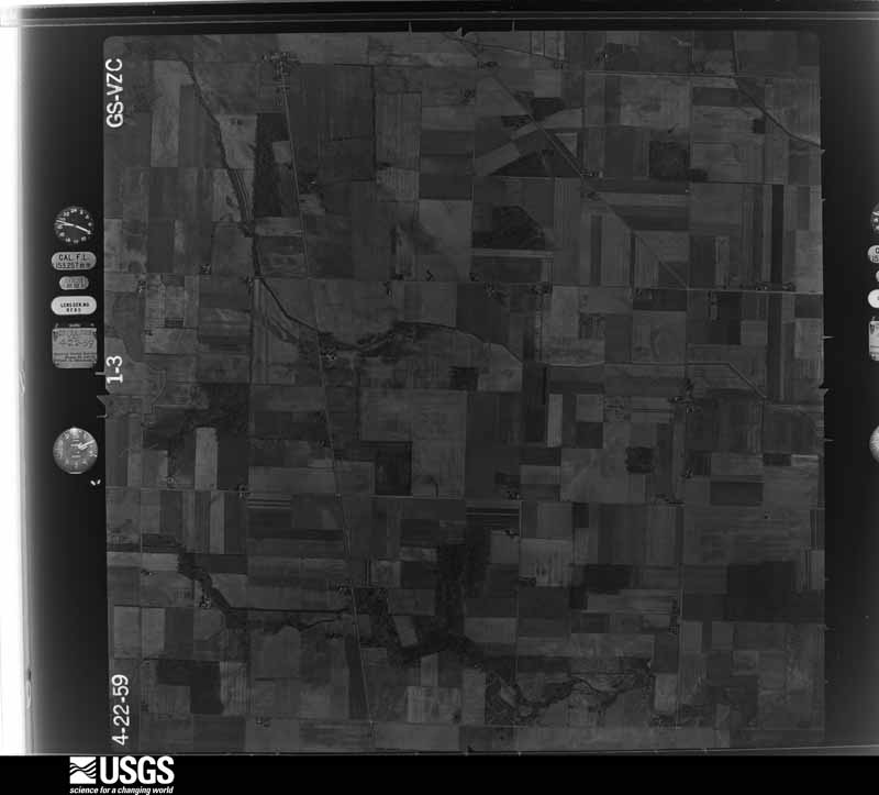
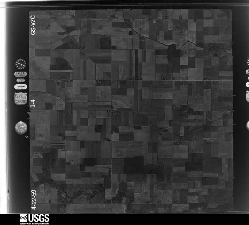
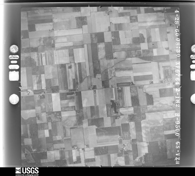
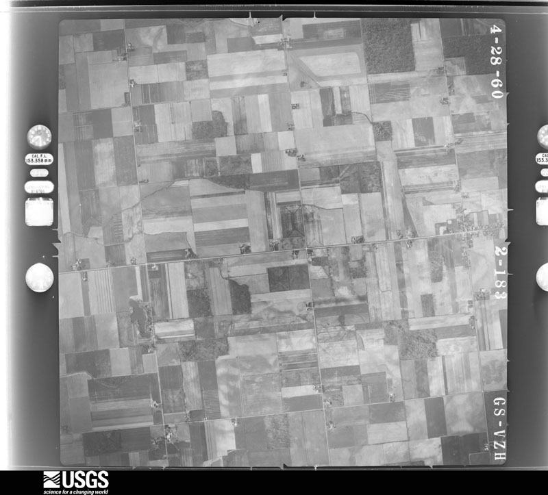
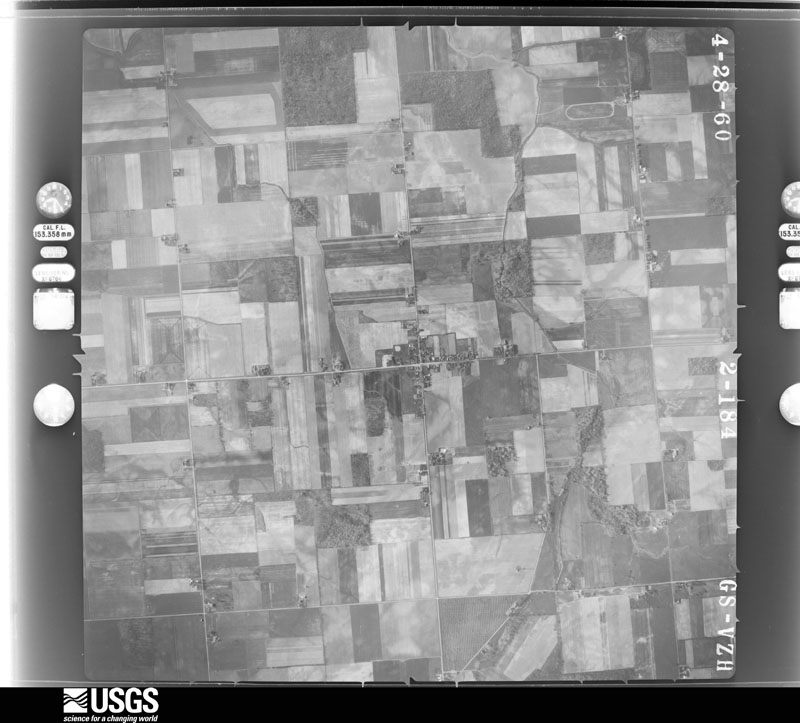
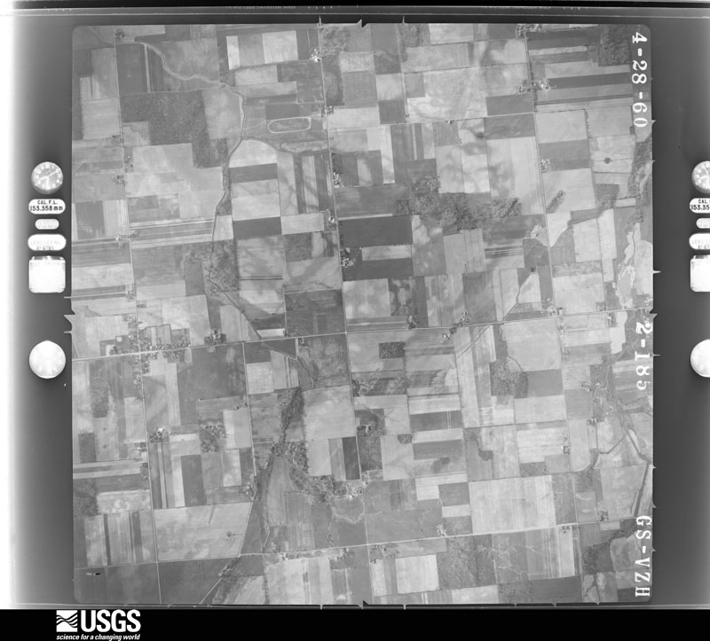
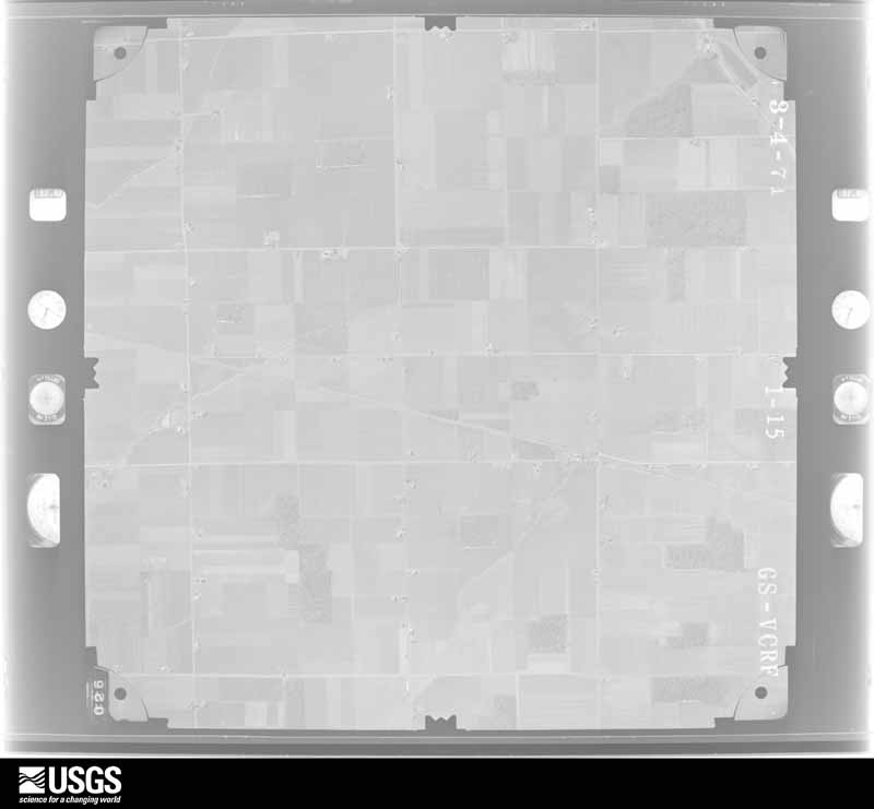
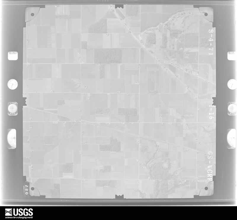
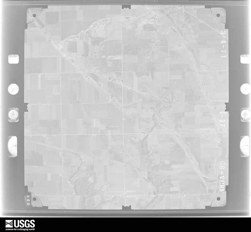
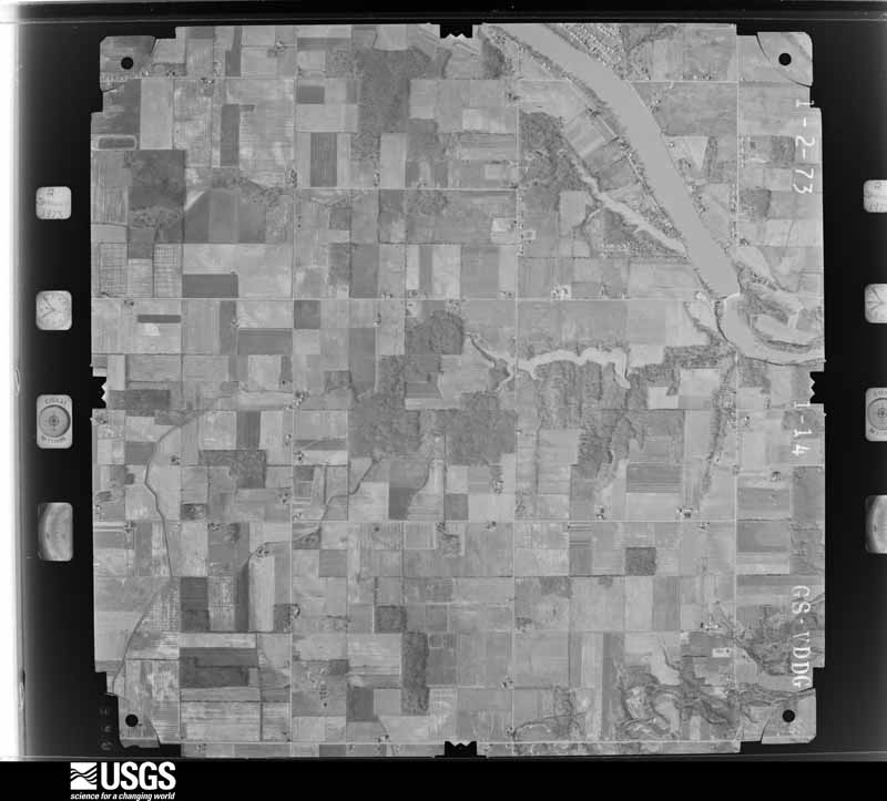
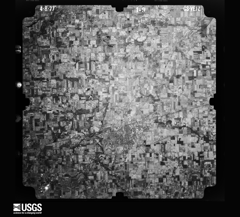
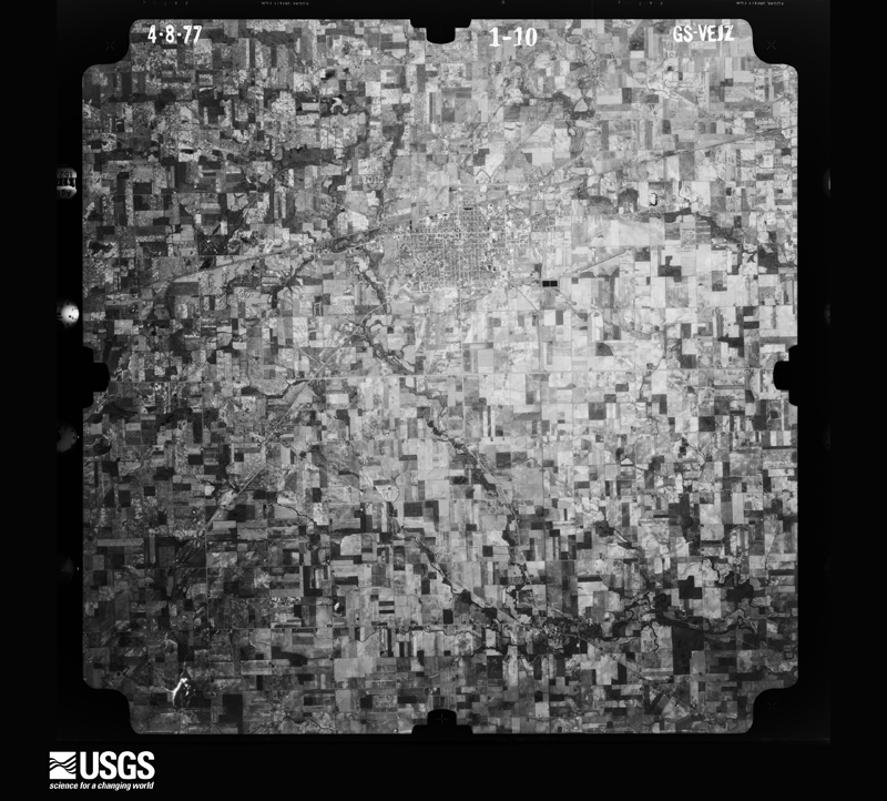
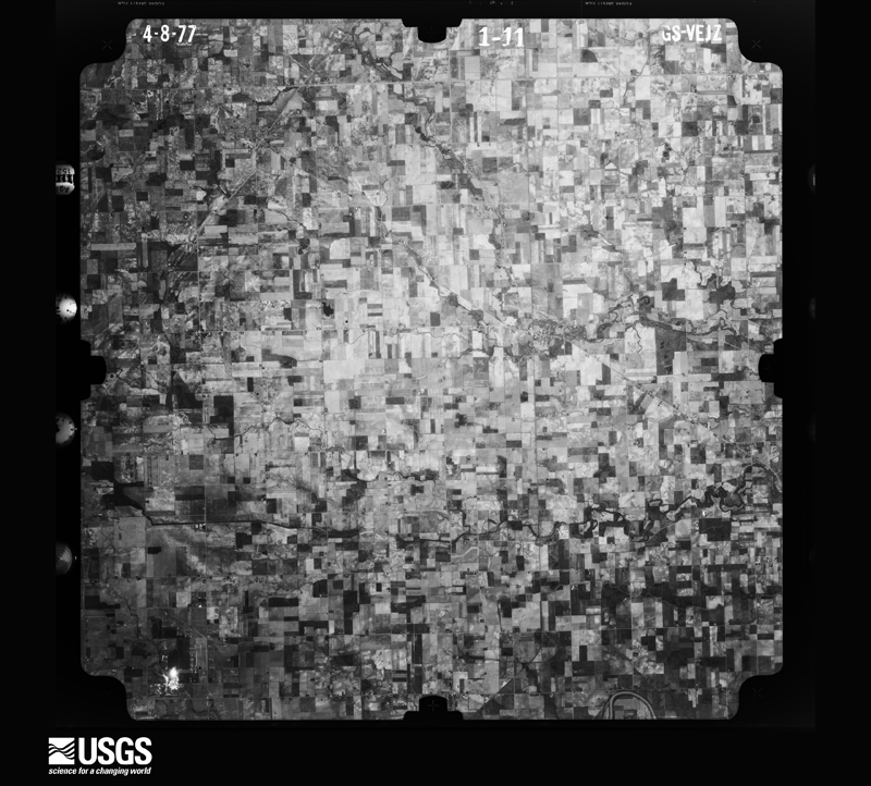
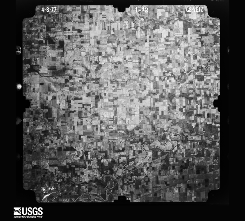
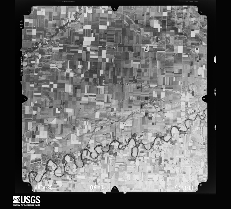
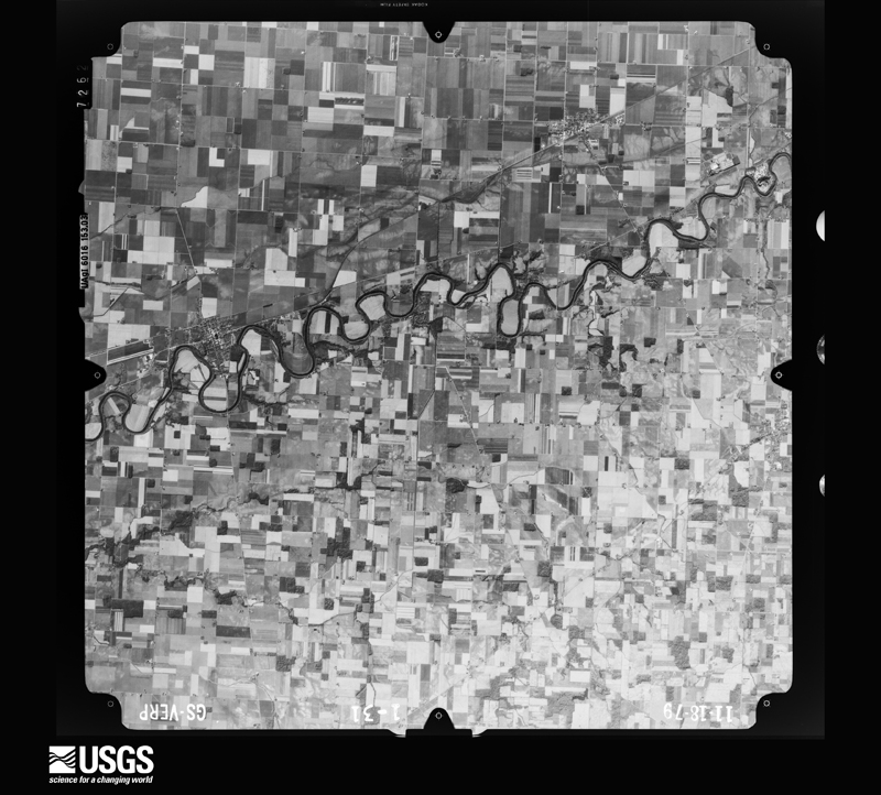
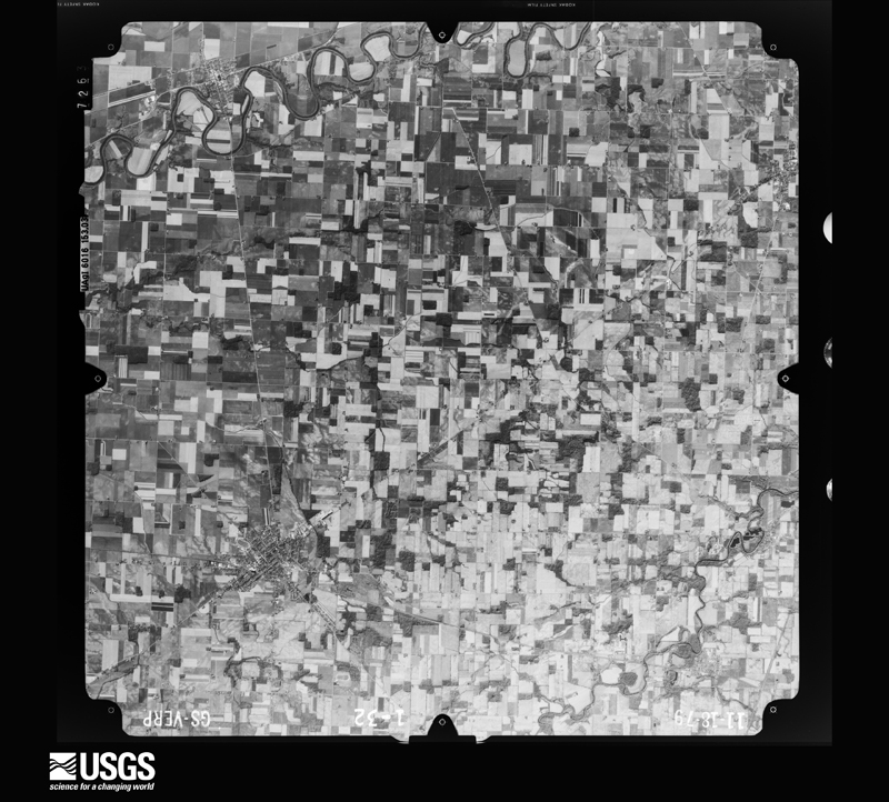
The county from the air
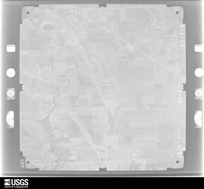
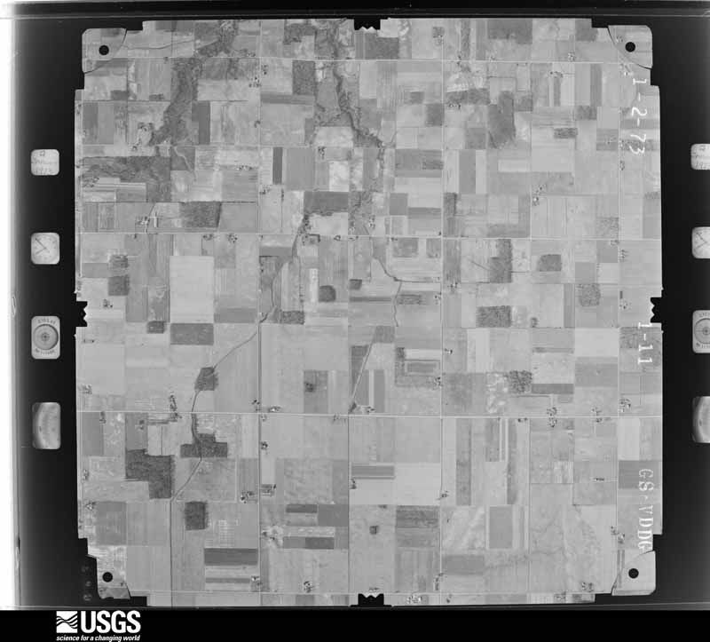
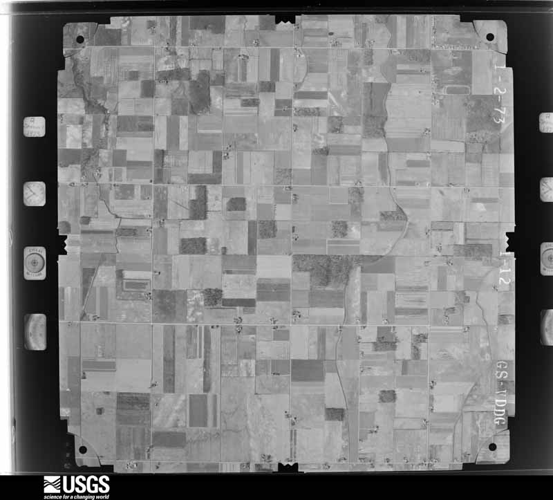
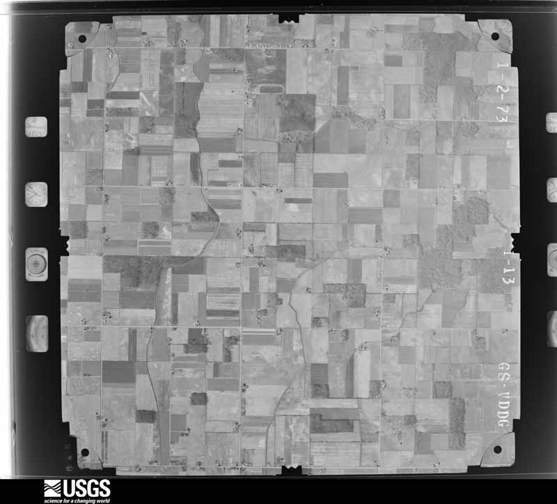
38 of 826 shown
Flown by the U.S. Geological Survey
between 1937 and 1989, the Aerial Photo Single Frames collection is
the definitive mid-century view of the land: fields, roads and rivers
as the camera saw them. 826 frames touch this county; the
selection below spreads across the decades of flights (at most four
per year), so one flight cannot crowd out the rest. The full set is
free to browse and download at
EarthExplorer under the dataset Aerial Photo Single
Frames.
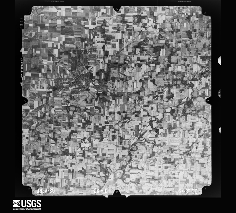
1951-11-28, scale 1:28400. U.S. Geological Survey aerial photograph.1951-11-28, scale 1:28400. U.S. Geological Survey aerial photograph.1951-11-28, scale 1:28400. U.S. Geological Survey aerial photograph.1951-11-28, scale 1:28400. U.S. Geological Survey aerial photograph.1952-08-01, scale 1:69000. U.S. Geological Survey aerial photograph.1952-08-01, scale 1:69000. U.S. Geological Survey aerial photograph.1952-08-01, scale 1:69000. U.S. Geological Survey aerial photograph.1952-08-01, scale 1:69000. U.S. Geological Survey aerial photograph.1959-04-23, scale 1:24000. U.S. Geological Survey aerial photograph.1959-04-23, scale 1:24000. U.S. Geological Survey aerial photograph.1959-04-23, scale 1:24000. U.S. Geological Survey aerial photograph.1959-04-23, scale 1:24000. U.S. Geological Survey aerial photograph.1960-04-28, scale 1:19000. U.S. Geological Survey aerial photograph.1960-04-28, scale 1:19000. U.S. Geological Survey aerial photograph.1960-04-28, scale 1:19000. U.S. Geological Survey aerial photograph.1960-04-28, scale 1:19000. U.S. Geological Survey aerial photograph.1969-09-12, scale 1:119378. U.S. Geological Survey aerial photograph.1969-09-12, scale 1:121846. U.S. Geological Survey aerial photograph.1971-04-01, scale 1:24000. U.S. Geological Survey aerial photograph.1971-04-01, scale 1:24000. U.S. Geological Survey aerial photograph.1971-04-01, scale 1:24000. U.S. Geological Survey aerial photograph.1971-04-01, scale 1:24000. U.S. Geological Survey aerial photograph.1972-06-10, scale 1:120253. U.S. Geological Survey aerial photograph.1972-06-10, scale 1:119821. U.S. Geological Survey aerial photograph.1972-06-10, scale 1:120599. U.S. Geological Survey aerial photograph.1972-06-10, scale 1:119678. U.S. Geological Survey aerial photograph.1973-01-02, scale 1:24000. U.S. Geological Survey aerial photograph.1973-01-02, scale 1:24000. U.S. Geological Survey aerial photograph.1973-01-02, scale 1:24000. U.S. Geological Survey aerial photograph.1973-01-02, scale 1:24000. U.S. Geological Survey aerial photograph.1977-04-01, scale 1:80000. U.S. Geological Survey aerial photograph.1977-04-01, scale 1:80000. U.S. Geological Survey aerial photograph.1977-04-01, scale 1:80000. U.S. Geological Survey aerial photograph.1977-04-01, scale 1:80000. U.S. Geological Survey aerial photograph.1979-11-01, scale 1:80000. U.S. Geological Survey aerial photograph.1979-11-01, scale 1:80000. U.S. Geological Survey aerial photograph.1979-11-01, scale 1:80000. U.S. Geological Survey aerial photograph.1979-11-01, scale 1:80000. U.S. Geological Survey aerial photograph.
City directories
1 volume
The "who lived here, by year" answer:
pre-1929 public-domain directory volumes naming the county's people,
machine-read and searchable as text.
The thermometers that kept this
county's weather, and the gages that watched its rivers, as the
federal records hold them. The extremes below are measured values
from those records, not estimates.
DEFIANCE1893 to 2026, hottest 42.2 C, coldest -30.0 C
Who lived here in 1950, one enumeration
district at a time, as the Census Bureau described each district.
Each row opens its official National Archives result, with Population
Schedules and ED Maps available there.
20-2Defiance city, comprising parts of Defiance and Noble townships: Defiance city - That part of Ward 1 in Defiance township Bounded by Maumee River; Auglaize River; 4th extended, 4th; Ward line
20-3Defiance city - That part of Ward 1 in Defiance township Bounded by 4th, 4th extended; Auglaize River; Baltimore and Ohio Railroad; Ward line
20-4Defiance city - That part of Ward 1 in Defiance township Bounded by Baltimore and Ohio Railroad; Wayne Ave., Wayne Ave. extended; Auglaize River, City limits; Ward line
20-5Defiance city - That part of Ward 1 in Defiance township Bounded by Baltimore and Ohio Railroad; Auglaize River; Auglaize River; Wayne Ave. extended, Wayne Ave.
20-6Defiance city - That part of Ward 2 in Defiance township Bounded by Maumee River; Ward line; 5th, Division, Wells, Wells extended; Maumee River
20-7Defiance city - That part of Ward 2 in Defiance township Bounded by Division, 5th; Ward line; Davidson; Holgate Ave.
20-8Defiance city - That part of Ward 2 in Defiance township Bounded by Maumee River, Wells extended, Wells; Holgate Ave., Davison, Ward line; City limits; City limits, including that small area not in any ward, southeast of the city limits between Colwell Ditch and S. Jackson St.
20-9Defiance city - That part of Ward 3 in Defiance township Bounded by City limits; City limits, Township line, City limits; Maumee River; N. Clinton, City limits
20-10Defiance city - That part of Ward 3 in Defiance township Bounded by City limits; N. Clinton; Maumee River; City limits
20-11Defiance city - That part of Ward 4 in Defiance township Bounded by Maumee River, City limits; City limits; E. 2nd; Summit, Summit extended
20-12Defiance city - That part of Ward 4 in Defiance township Bounded by Maumee River; Summit extended, Summit, E. 2nd, Douglas; Baltimore and Ohio Railroad; Auglaize River
20-13Defiance city - That part of Ward 4 in Defiance township Bounded by E. 2nd; City limits; Baltimore and Ohio Railroad; Douglas
20-14Defiance city - That part of Ward 4 in Defiance township Bounded by Baltimore and Ohio Railroad; City limits; City limits; Auglaize River
20-15Defiance city - That part of Ward 3 in Noble township Bounded by City limits; City limits; City limits; City limits, Township line
20-16Defiance township - That part outside Defiance city, including that small detached area outside the northeastern part of Defiance city, between the city limits and the township line (Remainder of Defiance township is in Defiance city)
20-28Noble township - That part outside Defiance city, including that small detached area outside the northeastern part of Defiance city, between the city limits and the township line (Remainder of Noble township is in Defiance city)
20-32Washington township - That part outside Ney village
Businesses named in the atlases
39 businesses
Every Sanborn volume opens with a printed index
naming the town's mills, tanneries, hotels and works by proprietor. Those
indexes were read off the scanned sheets by machine and then matched to each
other, so a business surveyed four times appears here once, with the years it
survived. 4 of these 39 were named in more than one atlas. Each carries a
crop of the line it was read from: the spelling is the recogniser's and the
1880s lithographer's, and the scan behind it is the proof.
The
NOAA Storm Events Database holds
231 reports for this county, causing 0 deaths,
0 injuries and about $4,025,250 in recorded property damage.
Each settlement page carries the reports that name it.
Kind of event
Reports
Thunderstorm Wind
141
Hail
63
Tornado
13
Flash Flood
10
Flood
3
Funnel Cloud
1
The most serious of them, by death, then
injury, then recorded damage. The accounts are quoted exactly as the
forecast office filed them.
Emergency management officials reported flooding and flash flooding across much of the western half of the county. The Hicksville Community Hospital had water flowing into lower portions of the structure, requiring sandbagging. Laboratory areas were flooded, but the sandbagging efforts kept any water out of patient areas. Several roads were closed through the county, including U.S. 127 near Mud Creek, which quickly went over its banks. Video footage from a newspaper reported showed three to six inches of water flowing from a golf course pond into the intersection of Carpenter and River Roads. Exact damage figures were not available, but flooding damage across the county is estimated around $250,000.
Local media reported flash flooding across portions of far western Defiance County, mainly from Hicksville to Ney. Water entered the first floor of the Hicksville Community Memorial Hospital, forcing the evacuation of a few patients, as well as power being shut off to the laboratory and radiology departments. County officials reported State Roads 49, 37 and 2 were closed near the Indiana and Ohio state line. The village of Ney sustained heavy flooding as well as Lick Creek flowed over its banks flooding the Ney Community Park, parts of the Jewell Grain facility. Seeds and chemicals had to be moved from the grain facility, with sandbagging being done to stop the flooding. A parked car was submerged under flood waters behind the Ney Oil Company. Standing water persisted into much of the next day. However, evacuations ended within a few hours of the event ending.
Emergency management officials reported several large trees were either uprooted or snapped in the city of Defiance. One of these trees fell onto a house on Washington Street, reportedly destroying the house. Another tree fell onto at least two parked car on Jefferson Avenue. No injuries were reported. Damage is estimated at $125,000.
A National Weather Service (NWS) storm survey determined that a tornado initially touched down just east of Mark Center on Williams Center-Cecil Road, where eight utility poles were blown down towards the east with one pole being snapped. Immediately to the northeast of these poles on the south side of Highway 18, a small barn was blown off its foundation, but was left intact with a farm house across the road suffering some minor roof damage. The tornado briefly lifted, but touched down once again on Openlander Road between Lockwood and State Route 18. The front porch on a home was ripped off as well as a television antenna and large tree damaged. A large barn suffered some minor roof damage. As the tornado skipped a few more times, additional trees suffered varying damage, with a few homes suffering shingle or siding damage. The total length along the broken path was roughly 5 miles with a maximum width of only around 50 yards.
A trained spotter reported a swath of damage extending from near the Ohio/Indiana state line northeast for about 4 miles to near the intersection of Buckskin and Gingrich roads. Several areas of tree damage were observed. Structure damage consisted of one barn destroyed, another losing its roof, roof damage to two houses, an aluminum flagpole was snapped off and some windows broken out of a few residences. A wheat field also was flattened in one area. Damage estimates of around $100,000 in property and $10,000 in crop.
A narrow band of thunderstorms continuously regenerated over parts of Defiance county during the morning. Estimates of 8 to 10 inches of rain fell in a 3 hour period. Emergency management reported flash flooding was most serious around Sherwood where roads were closed with 3 to 4 feet of water along Ohio Route 18 in and around Sherwood. Nearly 30 businesses and homes had some water into the first floor.
A ground and drone servey revelaed a tornado touched down at a property west of Casebeer Miller Road and north of Buckskin Raod, and tracked quickly to the northeast, crossing about a third of a mile north of Buckskin Road before dissipating in an area of trees. Several trees were snapped or uprooted, with three barns suffering minor to major damage as well as one home suffering damage to a roof and pool deck. Maximum wind speeds are estimated up to 90 mph.
Emergency management reported flash flooding between Sherwood and Ney with numerous roads closed and high water nearing homes and in basements. Almost a foot of water flowing over some roads with Gipe Rd in Ney Washington township washed out near a culvert.
A small garage was destroyed, likely from a combination of the strong winds and debris from damage to the northeast. A residence at this location suffered some roof damage as did a barn. A window was also broken in the barn.
A NWS damage assessment determined that an EF-1 rain-wrapped|tornado was embedded in a line of severe thunderstorms that went|through Defiance during the afternoon of April 4th. Beginning on|the southwest side of town, the tornado produced some minor|shingle/tree damage. At least one home was likely destroyed due|to a fallen tree. Sporadic, significant tree damage was observed|through Riverside Cemetery. The tornado then nearly paralleled S|Clinton St as it moved from southwest to northeast. The most|impressive damage was done near Davidson and S. Clinton St where|several trunks were snapped, a branch lodged into a roof, and|several wooden transmission lines were snapped. The circulation|continued into downtown Defiance, uprooting/snapping trees, and|producing minor to moderate roof damage to numerous businesses|including a large church, bank, and USPS building, among others.|Notable tree damage was done at the Old Fort before the tornado|crossed the river confluence. Video footage from residence|confirms a circulation made it across the river. Widespread|additional tree and roof damage was then noted in the|neighborhoods just north of the Maumee River and west of|Carpenter Rd. Finally, several trunks were snapped or uprooted in|the Eagle Rock Golf Course before the circulation appears to have|dissipated.
Large tree limb down north of Buckskin Road in the 7000 black of SR 49. Time estimated by radar.
Mines and
quarries
4 recorded
The Survey's mineral resources record
lists 4 workings inside this county. 1 still
produces and 3 are closed or unrecorded. Each settlement
page carries the workings within five miles of it.
Commodity
Workings
Sand and Gravel, Construction
3
Iron
1
The least common of them first, because a
county's hundredth gravel pit says nothing its first ten did not.
Museum specimens collected inside this
county and catalogued with a date and a place: 988 of them, by
kingdom 975 animalia, 9 plantae, 4 fungi. Each is a physical object in a named collection, not a
sighting. Held by Ohio State University - Fish Division, Columbus, OH (OSUM), USNM, UMMZ, Ohio State University - Bird Division, Columbus, OH (OSUM), CM, FMNH among others, and each settlement page carries
the specimens collected near it.
The oldest of them. A specimen proves
something was collected on that day; its absence proves nothing.
History of Defiance County, Ohio. Containing a History of the County; Its Townships, Towns, Etc.; Military Record; Portraits of Early Settlers and Prominent Men; Farm Views, Personal Reminiscences, Etc devotes a chapter to each township:
its boundaries and streams, who settled it and when, the mills, the
schools and the churches. All 3 are reproduced here in full. Each row
shows the township's own shape and where it lies in the county, drawn from
the Census Bureau's boundary. Which settlements belong to which township
is computed from that same boundary, not taken from the book.
Everyone History of Defiance County, Ohio. Containing a History of the County; Its Townships, Towns, Etc.; Military Record; Portraits of Early Settlers and Prominent Men; Farm Views, Personal Reminiscences, Etc stops to write about, with
the section that describes them. Among them are the men who founded the
place and governed the Territory. Each name opens the passage itself, in
the words of 1883.
Named settlements recorded in the Geographic Names
Information System, each with the topographic sheets covering it. Villages,
hamlets and abandoned places alike. Each is shown with the watercourse or
landform it stands on and the survey quadrangle it falls on. The 3
places that were also surveyed for fire insurance come first, with the
number of atlases and photographs held for them.
The complete index, with nothing left out.
Each of these is a separate record with its own page: a federal survey
report, or the case file that argued a property on to the National
Register. Both are public domain and reproduced word for word.
Topographic sheets. USGS Historical Topographic Map Collection, county index, measured from the bulk metadata.
Fire insurance maps. Library of Congress Sanborn collection, faceted to this county.
Photographs. Each place queried individually against the Library of Congress Prints and Photographs search.
Wildfire. Short, Karen C. 2022. Spatial wildfire occurrence data for the United States, 1992-2020 [FPA_FOD_20221014]. 6th Edition. Fort Collins, CO: Forest Service Research Data Archive. https://doi.org/10.2737/RDS-2013-0009.6 Collected with United States Government funding and usable without additional permissions or fees.
Specimens. Global Biodiversity Information Facility (GBIF), https://www.gbif.org/. Only records licensed CC0 or CC BY are used. Records licensed CC BY-NC are excluded because this site carries advertising. Images are checked individually and any whose licence is non-commercial, no-derivatives or unreadable is refused.
Mines and quarries. USGS Mineral Resources Data System (MRDS) https://mrdata.usgs.gov/mrds/ A work of the United States government, no copyright under 17 U.S.C. 105.
Storms. NOAA National Centers for Environmental Information, Storm Events Database https://www.ncei.noaa.gov/stormevents/ A work of the United States government, no copyright under 17 U.S.C. 105. Narratives are quoted verbatim from the National Weather Service report and are not edited or summarised.
 Block
Block