 Block
Block
Alger, Ohio
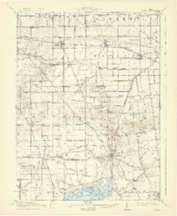
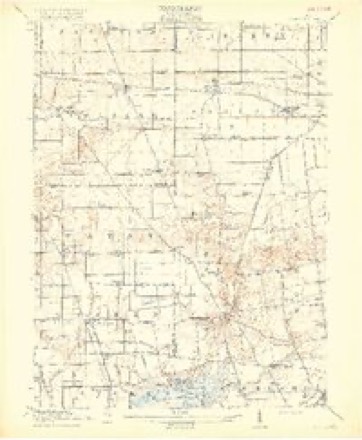
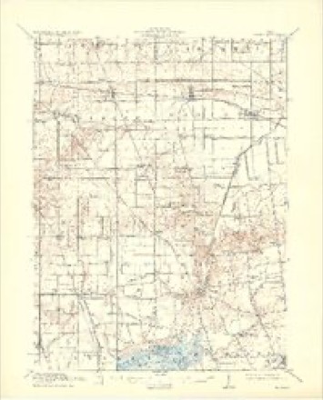
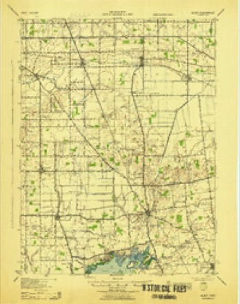
16 topographic sheets cover this place, the earliest surveyed in 1913 and the latest in 1986. It stands in Marion Township. It lies in ZIP code area 45812. The Survey maps it on the Alger quadrangle. 837 people lived here at the 2020 count. It stands 978 feet above sea level.
Population over time
2 figuresAlger fell from 1,200 to 837 between 2010 and 2020. These are the recorded population figures Wikidata holds for this place, reached through the Geographic Names Information System number this page is keyed on rather than by name, so they belong to this place and not to another of the same name. Most are census counts, but not all are: an early figure may be a founding or settlement estimate. The change column is computed, and is left blank where more than 20 years separate a figure from the one before it, because a gap that long is not a change between two counts.
| Year | People | Change |
|---|---|---|
| 2010 | 1,200 | |
| 2020 | 837 | -363 (-30%) |
Then and now
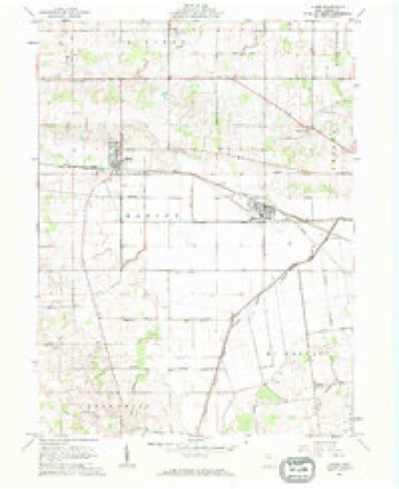
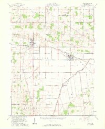
1913 to 1986The same ground, surveyed 73 years apart. Drag the handle to wipe between them. Both sheets are United States Geological Survey originals; neither has been altered.

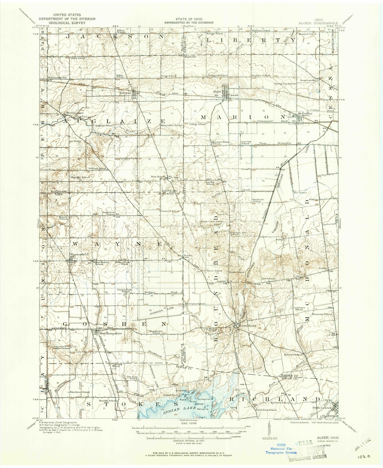
Topographic sheets covering this place
16 sheetsMatched by testing this settlement's coordinate against the published boundary of every sheet in the United States Geological Survey's historical collection. Each opens the scanned sheet at the Survey.
- 1913 USGS Alger quadrangle1:62500
- 1913 USGS Alger quadrangle1:48000
- 1915 USGS Alger quadrangle1:62500
- 1915 USGS Alger quadrangle1:62500
- 1915 USGS Alger quadrangle1:62500
- 1915 USGS Alger quadrangle1:62500
- 1943 USGS Alger quadrangle1:62500
- 1950 USGS Marion quadrangle1:250000
- 1961 USGS Alger quadrangle1:24000
- 1961 USGS Alger quadrangle1:24000
- 1962 USGS Marion quadrangle1:250000
- 1966 USGS Marion quadrangle1:250000
- 1966 USGS Marion quadrangle1:250000
- 1966 USGS Marion quadrangle1:250000
- 1986 USGS Marion quadrangle1:100000
- 1986 USGS Marion quadrangle1:100000







In the 1883 county history
9,298 words on this townshipThe county history of 1883 has no passage naming this settlement, which was common for the smaller places. Its township is covered in full.
The chapter on Marion Township covers the township.
Read the chapter on Marion Township - 9,298 words.
Specimens collected nearby
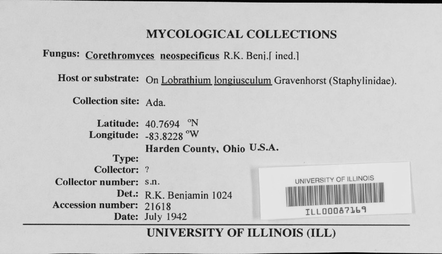
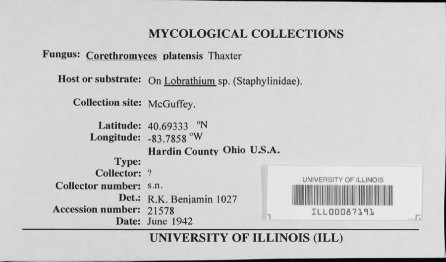
12 of 358 shownMuseums hold 358 specimens collected within 10 miles of Alger between 1885 and 1973: 200 Protozoa, 114 Animalia, 33 Plantae, 10 Fungi, 1 Unrecorded. 12 distinct Species records are shown. Collected by ?, A. P. Morgan, A. P. M. and others. Each is a physical object with a catalogue number, and each entry opens the museum's record. This is what was collected and kept, not a survey of what lives here - nothing can be concluded from a species being absent.
| Image | Species | Year | Collected by | Where, as recorded |
|---|---|---|---|---|
 | unnamed | 1942 | ? | |
 | Corethromyces platensis Thaxt. | 1942 | ? | |
 | Bovistella radicata (Durieu & Mont.) Pat. | 1885 | A. P. Morgan | Preston |
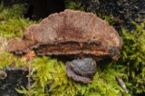 | Gloeophyllum trabeum (Pers.) Murrill | 1886 | A. P. Morgan | Preston |
 | Craterium leucocephalum (Pers. ex J.F.Gmel.) Ditmar, 1813 | 1888 | Morgan, A. P. | Ohio: Preston |
 | Diderma floriforme (Bull.) Pers., 1794 | 1888 | not recorded | Ohio: Preston |
 | Calonema aureum Morgan, 1893 | 1889 | Morgan, A. P.; Preston, O. | |
| Tapesia derelicta Morgan | 1889 | A. P. Morgan | Preston | |
| Metatrichia vesparia (Batsch) Nann.-Bremek. ex G.W.Martin & Alexop., 1969 | 1890 | Morgan, A. P.; Preston,O. | ||
| Physarum serpula Morgan, 1896 | 1892 | Morgan A. P. | United States-- Ohio, Preston | |
| Trichia favoginea (Batsch) Pers., 1794 | 1892 | Morgan, A. P. | Ohio: Preston | |
 | Arcyria cinerea (Bull.) Pers., 1801 | 1893 | Morgan, A. P. |
All 358 specimens within 10 miles, at the Global Biodiversity Information Facility.
Storms nearby
13 since 2006The National Weather Service names Alger in 13 storm reports between 2006 and 2026: 6 thunderstorm wind, 4 hail, 2 flash flood, 1 tornado. No death or injury is recorded in these reports. Each account below is quoted exactly as the forecast office filed it, from the NOAA Storm Events Database, and each date opens the federal record of that event.
| When | Event | Place named | Harm | What the report says |
|---|---|---|---|---|
| December 2021 | Tornado (EF1) | Alger | $300,000 | The first sign of tornadic damage was observed at a residence just southwest of the intersection of State Routes 309 and 235, where part of the roof was lifted off of a barn and multiple softwood trees were snapped and blown in multiple directions.||The tornado then strengthened as it moved northeast, causing more substantial damage at a business and a two story residence, located on opposite sides of State Route 309, near the intersection with State Route 235. At the business, two outbuildings were completely destroyed and part of the roof of another building was lifted off, with debris splatter noted on multiple sides of this building. A metal sign was also damaged and a tractor trailer was overturned on its side.||At the two story home, the roof was completely lifted off, with parts of the roof thrown in multiple directions. Several windows were broken, most likely due to metal debris from the business across the road. Two outbuildings were completely destroyed. Debris from these outbuildings and debris from the home were blown at least 0.7 miles into the field to the northeast. Multiple trees also sustained significant damage. The tornado was strongest in this area, with maximum winds of up to 110 mph.||The tornado was likely still on the ground in the field to the northeast of State Route 235, however it showed signs of weakening as it crossed Township Road 55. On Township Road 55, shingles were removed from one home, while one outbuilding had partial roof uplift and another outbuilding was moved off cinder blocks. A few trees along a grove behind the home were also snapped.||Additional minor roof damage was observed on Township Road 64. This appears to be the end of the tornado as no further damage was noted to the northeast. |
| August 2007 | Flash Flood | Alger | $8,000 | Numerous roads were flooded across the western part of the county, including State Routes 235 and 309. Several vehicles were stuck in the high water. |
| May 2006 | Thunderstorm Wind | Alger | $5,000 | Twelve inch diameter trees and several power poles were downed on County Road 92 between Alger and McGuffey. |
| March 2026 | Thunderstorm Wind | Alger | $4,000 | A home sustained roof and siding damage. Additionally, several large tree branches were snapped. |
| April 2023 | Thunderstorm Wind | Alger | $4,000 | A few trees were downed in the Alger area. |
| June 2013 | Thunderstorm Wind | Alger | $3,000 | Trees were downed near Alger due to thunderstorm winds. |
| July 2012 | Thunderstorm Wind | Alger | $3,000 | Several trees were downed on the west side of Hardin County due to damaging thunderstorm winds. |
| May 2011 | Flash Flood | Alger | $2,000 | Multiple roads were closed due to flash flooding. |
| June 2010 | Thunderstorm Wind | Alger | $1,000 | Trees were reported down due to damaging thunderstorm winds. |
| July 2017 | Hail | Alger | - | no account filed |
| July 2017 | Hail | Alger | - | no account filed |
| July 2012 | Hail | Alger | - | no account filed |
| June 2011 | Hail | Alger | - | no account filed |
Nearest settlements
The eight closest, with where each one stands in the county. Distances are straight-line, computed from the Geographic Names Information System coordinates.
| Map | Place | Distance | Sheets |
|---|---|---|---|
| Belmont Court | 0.2 miles | 16 | |
| Quickstep | 3.2 miles | 16 | |
| McGuffey | 3.2 miles | 16 | |
| Hillcrest Estates | 3.4 miles | 12 | |
| Huntersville | 4.1 miles | 16 | |
| Ada | 4.5 miles | 12 | |
| Parkview Village South | 4.6 miles | 12 | |
| Parkview Village North | 4.7 miles | 12 |
Elsewhere
Matched on this settlement's Geographic Names Information System number rather than its name, so it cannot be a different place of the same name in another state.
| Wikipedia article on Alger | An encyclopaedic summary. Its text is share-alike, so it is linked here rather than copied. |
| Wikidata item Q1030204 | The structured record the population and elevation above come from. Public domain (CC0). |
Provenance
This settlement is recorded in the Geographic Names Information System as feature 1064310. The sheet list is computed by point-in-boundary test against the United States Geological Survey's historical topographic inventory. Both are works of the United States government and carry no copyright under 17 U.S.C. 105.
Specimens. Global Biodiversity Information Facility (GBIF), https://www.gbif.org/. Only records licensed CC0 or CC BY are used. Records licensed CC BY-NC are excluded because this site carries advertising. Images are checked individually and any whose licence is non-commercial, no-derivatives or unreadable is refused.
Storms. NOAA National Centers for Environmental Information, Storm Events Database https://www.ncei.noaa.gov/stormevents/ A work of the United States government, no copyright under 17 U.S.C. 105. Narratives are quoted verbatim from the National Weather Service report and are not edited or summarised.