45 topographic sheets and 24 fire insurance
atlases across 4 places.
Research this county
This curated hub for Hardin County, Ohio brings together the page's documented record links, visible map or image evidence where published, and routes to related local records.
Use the page's provenance and linked records to distinguish the source material from the site's navigation and summaries.
How should I cite it?
Open the original record, preserve its repository and identifier, then use the citation tool for this page as a path back to the source.
Where should I go next?
Follow the county or state hub for related places and records, then use the guide for a source-aware research sequence.
From the record
3 National Register listings · 41 businesses named in the fire insurance atlases from 1888 to 1911 · the 1883 county history tells 1 stories and names 0 people.
Ohio within the United StatesHardin County within Ohio
Explore by year
What the record shows
4 places in this county were surveyed for fire insurance: Kenton, Ada, Forest, Dunkirk, between 1885 and 1950.
24 fire insurance atlas(es) survive for the county. Topographic coverage is national; fire insurance survey reached only incorporated places with something worth insuring.
466 topographic sheet readings cover the county's settlements.
3 properties here are on the National Register of Historic Places, including 1 house and farms.
1 of the 3 listings were added during the 1970s.
The Geographic Names Information System records 37 populated places in this county; 0 are covered by at least one topographic sheet.
1 public-domain county history, 1883, supply 191,178 words of narrative reproduced here in full.
What happened here
1 accounts
A captivity, a drowning, a famine, a man
scalped clearing his lot in 1789. These are passages from The History of Hardin County, Ohio, written
while people who remembered the events were still alive, and each one
opens the section it comes from.
1883, Hale Township
Surface Streams, Soil, Timber, Roads, Etc
The surface of this township is considerably varied. Some of the southern and eastern portions, especially east of Panther Creek, is mostly level, except along the Wild Cat Creeks, where it is undulating, and in some few places slightly hilly. The western and northwestern portion is quite undulating, and some places on Panther and Wolf Creeks are really hilly.
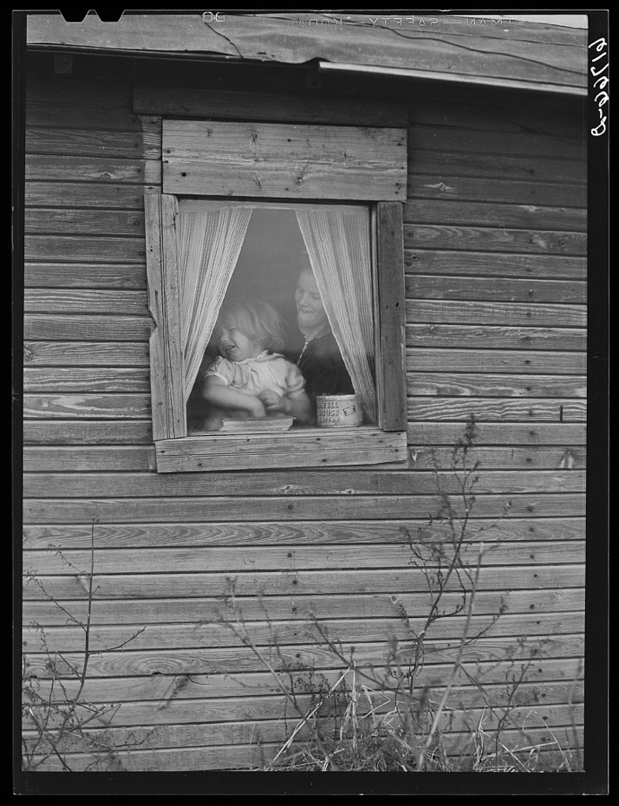
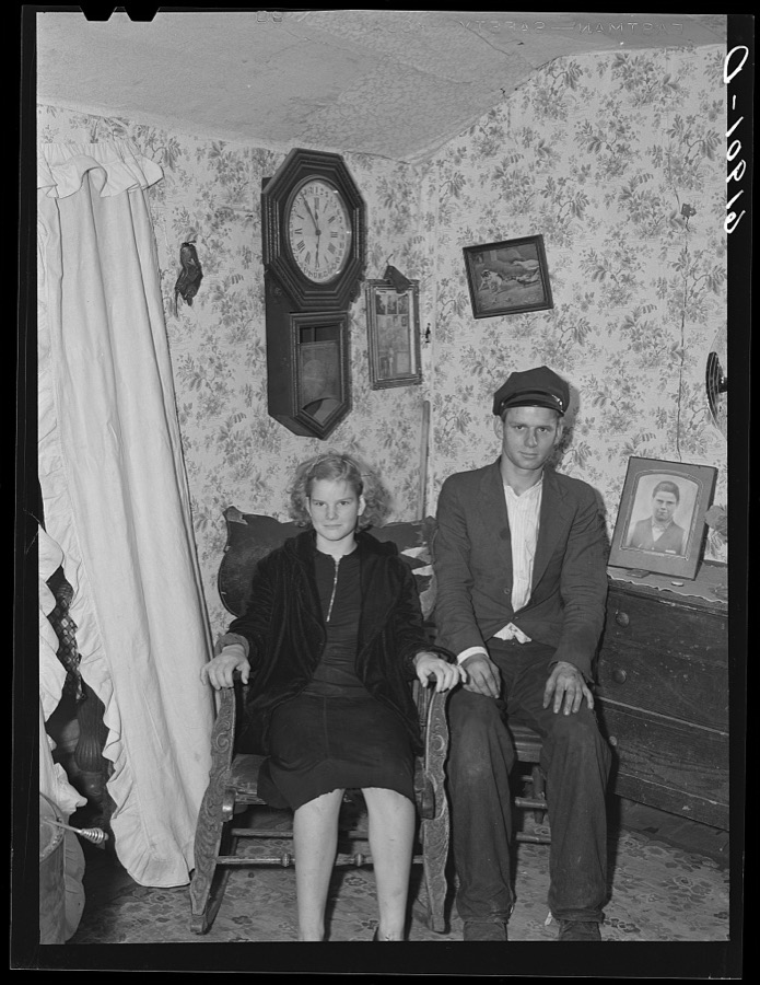
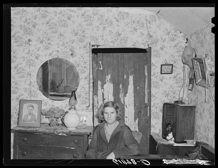
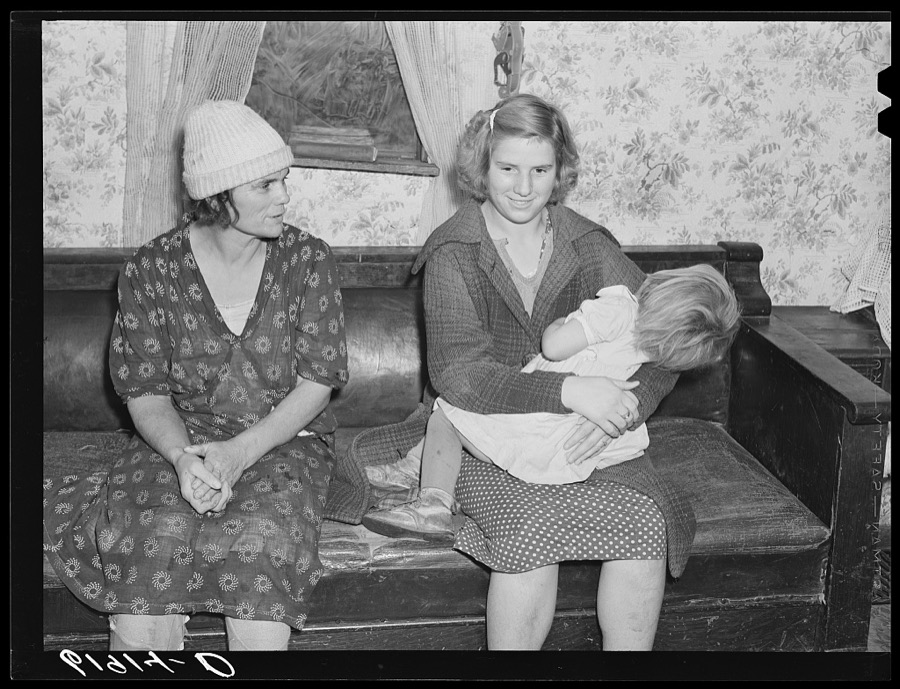
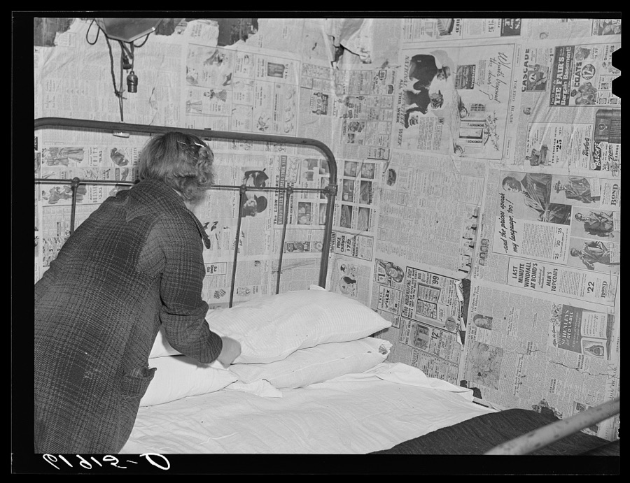
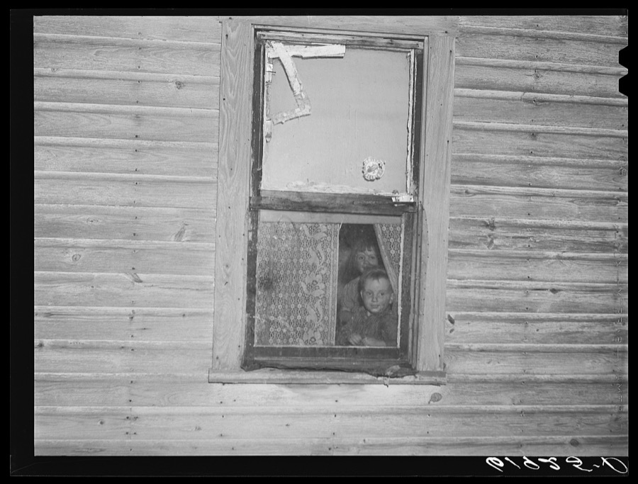
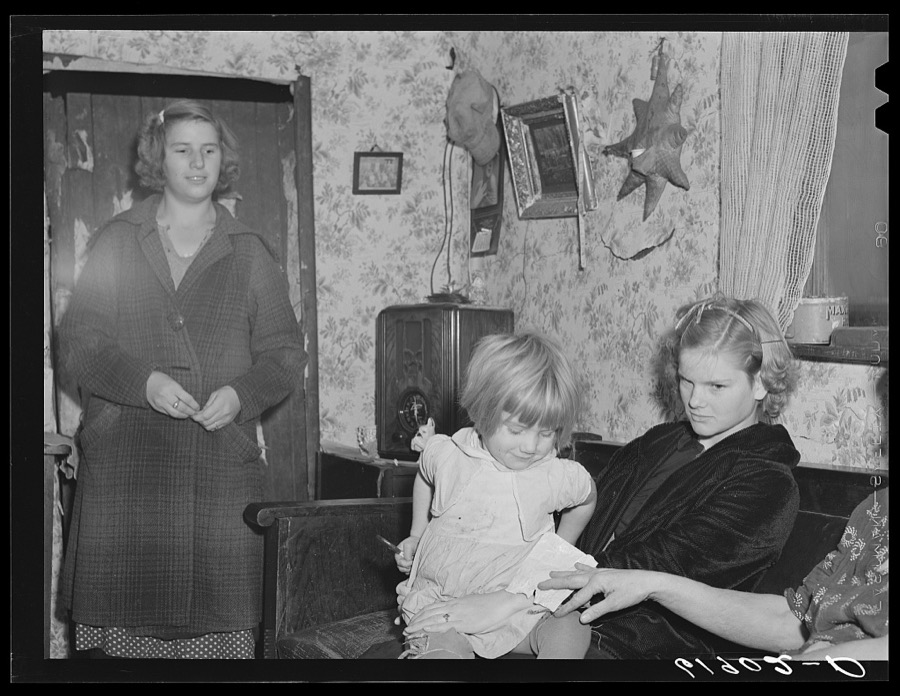
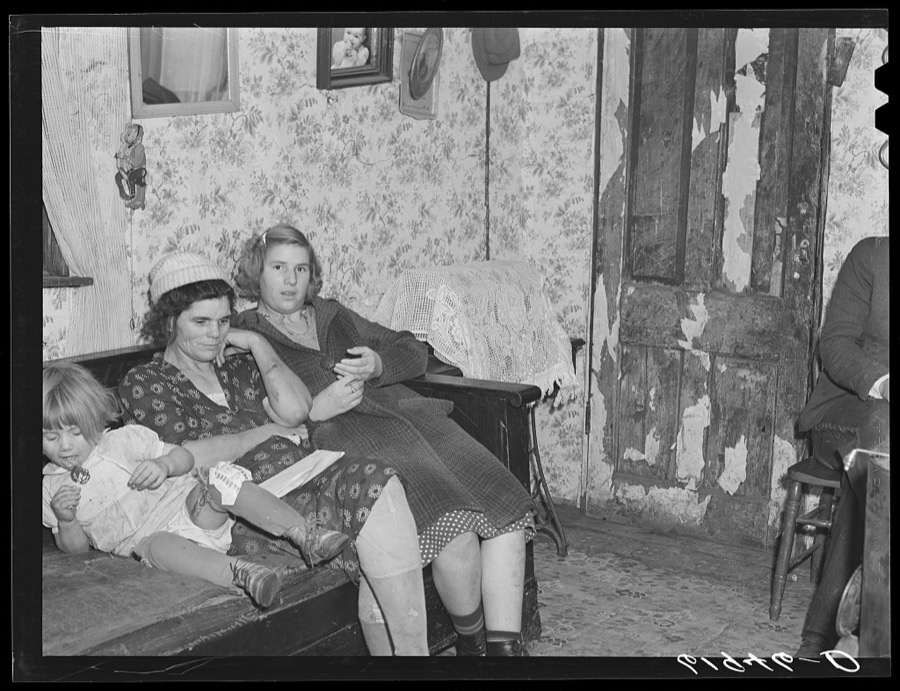
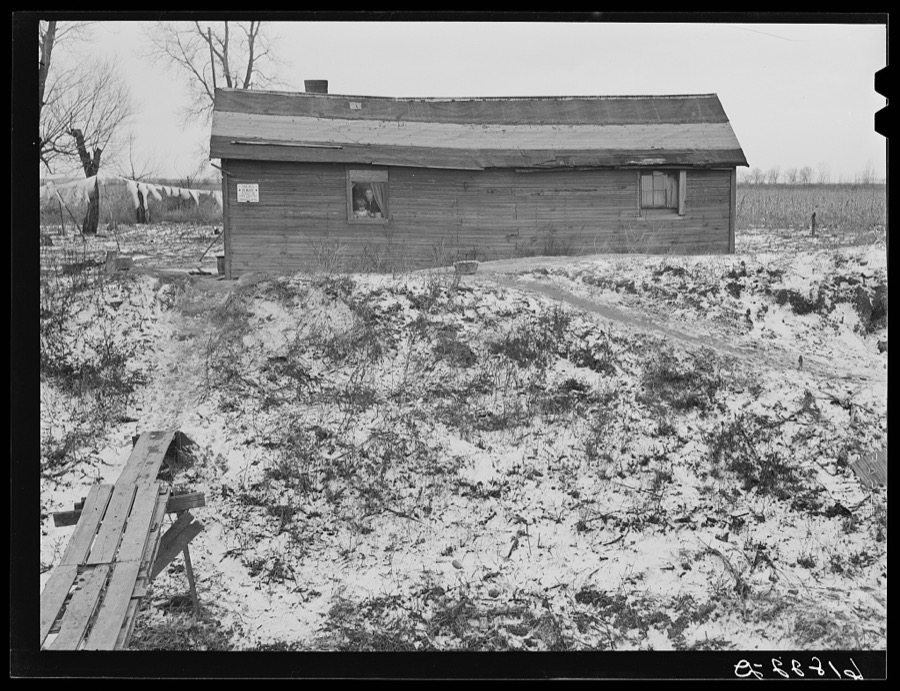
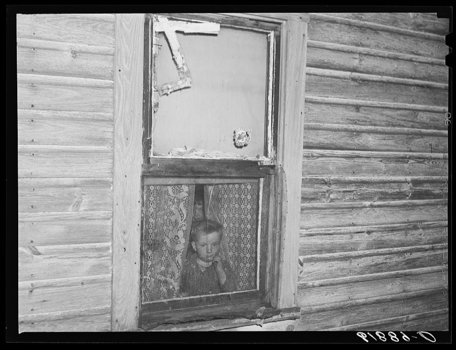
Taken for the Office of War Information and
the Farm Security Administration, who photographed the country between
1935 and 1944. Works of United States government photographers, with no
known restriction on use. Each opens its catalogue record.
Children of day laborer. Scioto Marshes, Hardin County, Ohio Vachon, John, 1940. Library of CongressChildren of agricultural day laborer. Scioto Marshes, Hardin County, Ohio Vachon, John, 1940. Library of CongressChildren of agricultural day laborer who came from Kentucky to work in the Scioto Marshes, Hardin County, Ohio Vachon, John, 1940. Library of CongressDaughter of day laborer. Scioto Marshes, Hardin County, Ohio Vachon, John, 1940. Library of CongressWife and daughters of day laborers. Scioto Marshes, Hardin County, Ohio Vachon, John, 1940. Library of CongressDaughter of day laborer making bed. Family of six sleeps in this one room, two beds. Scioto Marshes, Hardin County, Ohio Vachon, John, 1940. Library of CongressChildren of day laborer. Scioto Marshes, Hardin County, Ohio Vachon, John, 1940. Library of CongressSon of agricultural day laborer. Scioto Marshes, Hardin County, Ohio Vachon, John, 1940. Library of CongressChildren of agricultural day laborer who came from Kentucky to work in the Scioto Marshes, Hardin County, Ohio Vachon, John, 1940. Library of CongressWife of day laborer putting wood in stove. Scioto Marshes, Hardin County, Ohio Vachon, John, 1940. Library of CongressWife and daughters of agricultural day laborer. Scioto Marshes, Hardin County, Ohio. This family came originally from Kentucky Vachon, John, 1940. Library of CongressHouse on property of landowner occupied by day laborer and family. Scioto Marshes, Hardin County, Ohio Vachon, John, 1940. Library of CongressWife of day laborer. Scioto Marshes, Hardin County, Ohio Vachon, John, 1940. Library of CongressChildren of day laborer. Scioto Marshes, Hardin County, Ohio Vachon, John, 1940. Library of Congress
Places on the National Register
3
Every property in this county listed on the
National Register of Historic Places, with the year it was listed and the
federal nomination document.
Hardin County holds 0 covered bridges on
the National Register, more than any other property type here. Each is a listed
structure with a federal nomination on file.
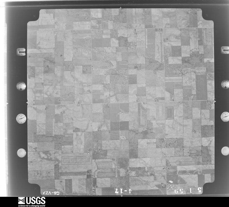
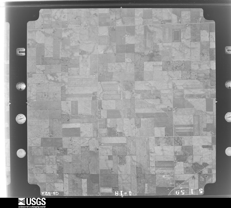
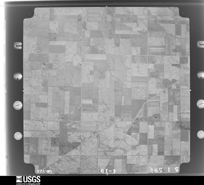
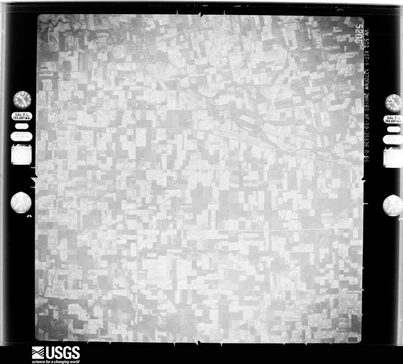
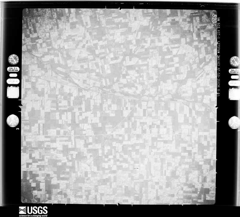
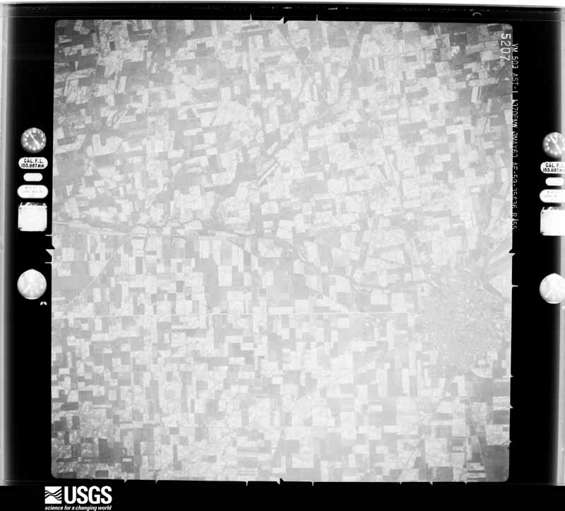
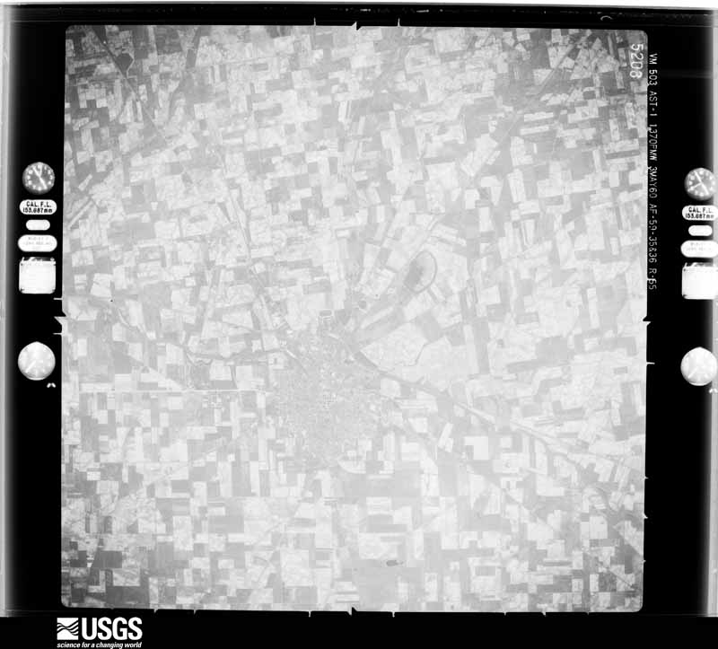
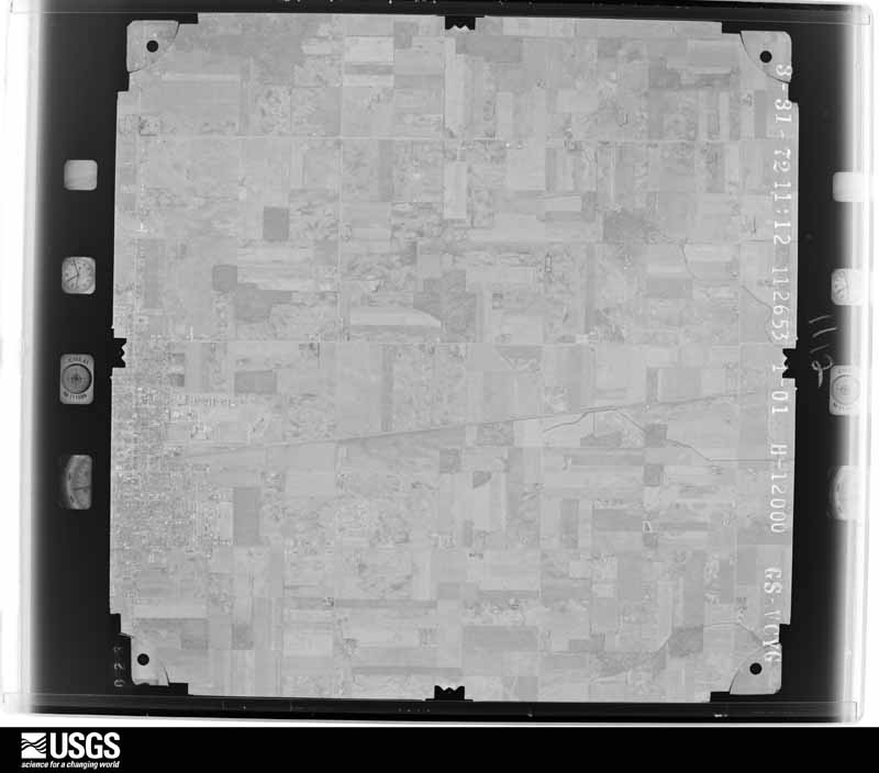
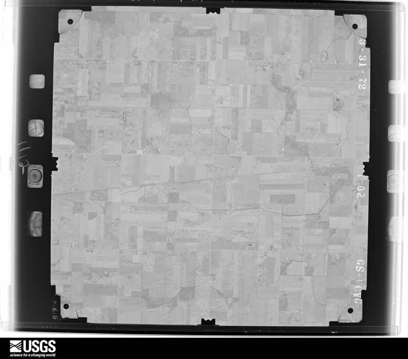
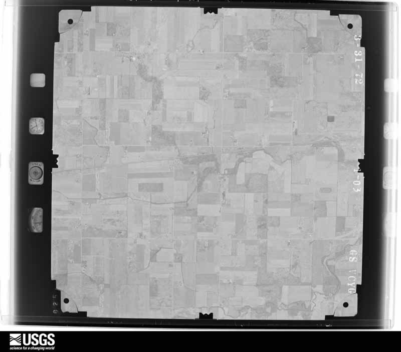
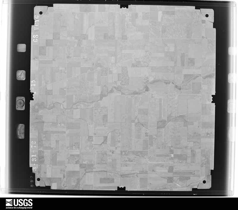
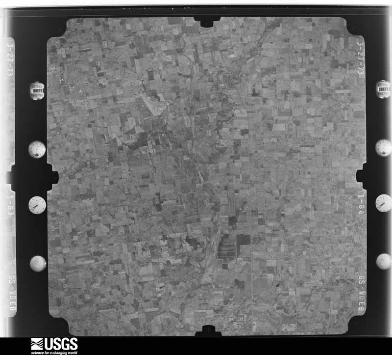
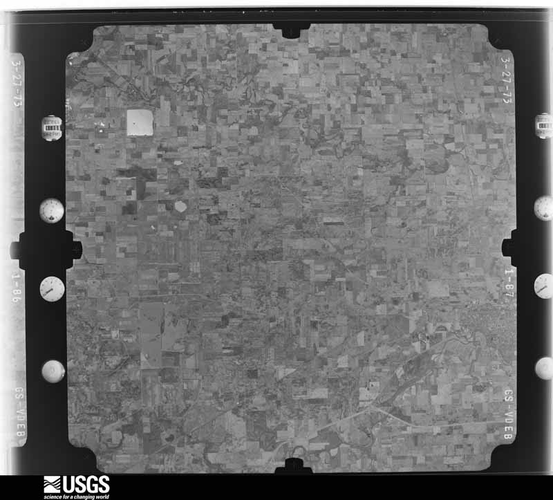
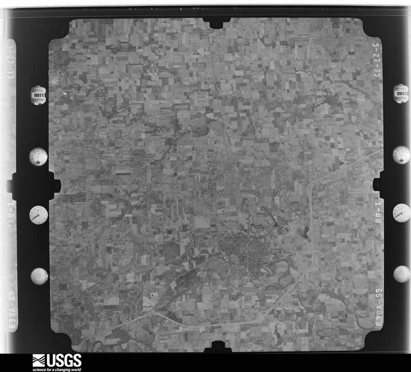
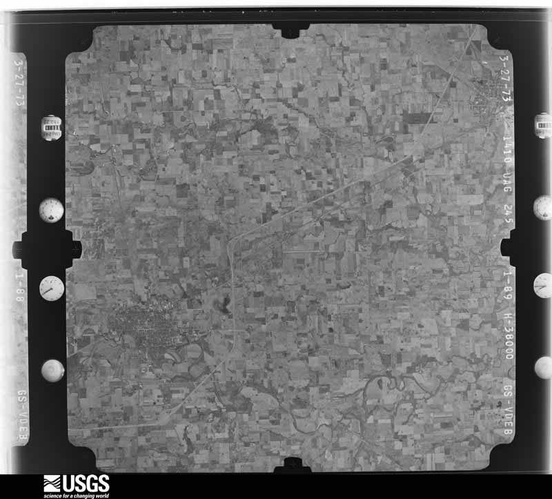
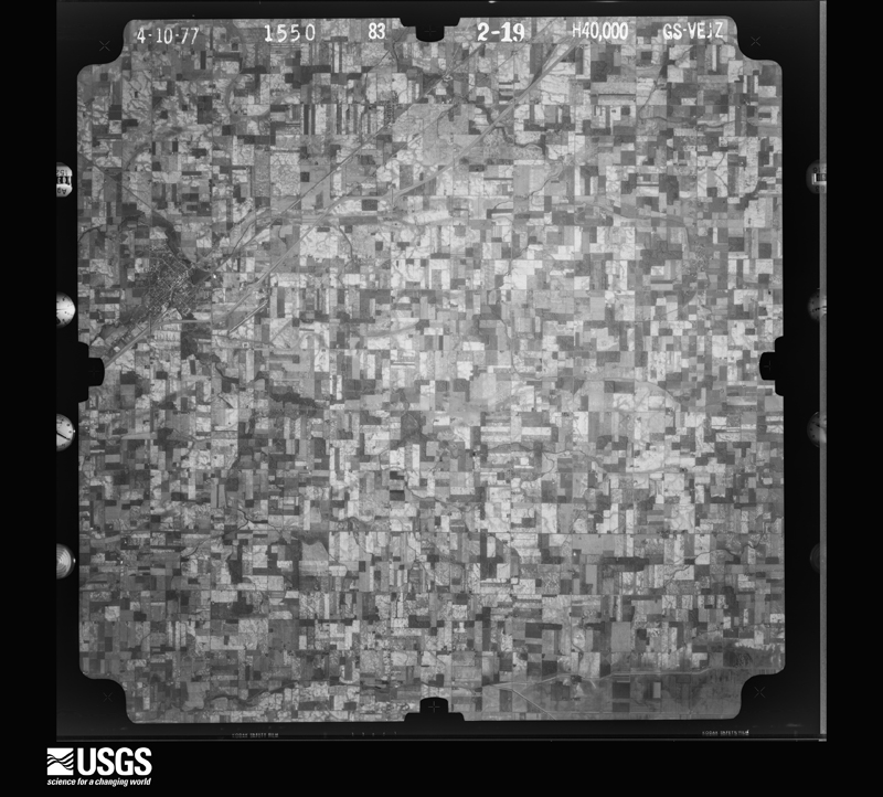
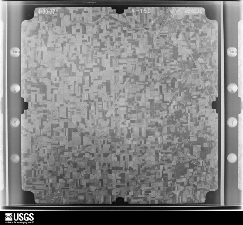
The county from the air
20 of 481 shown
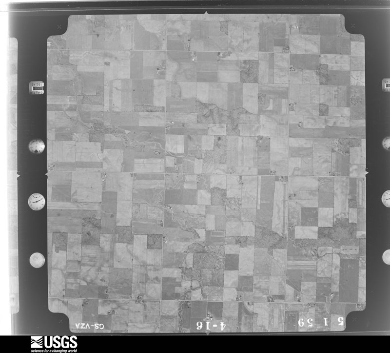
Flown by the U.S. Geological Survey
between 1937 and 1989, the Aerial Photo Single Frames collection is
the definitive mid-century view of the land: fields, roads and rivers
as the camera saw them. 481 frames touch this county; the
selection below spreads across the decades of flights (at most four
per year), so one flight cannot crowd out the rest. The full set is
free to browse and download at
EarthExplorer under the dataset Aerial Photo Single
Frames.
1959-05-01, scale 1:18000. U.S. Geological Survey aerial photograph.1959-05-01, scale 1:18000. U.S. Geological Survey aerial photograph.1959-05-01, scale 1:18000. U.S. Geological Survey aerial photograph.1959-05-01, scale 1:18000. U.S. Geological Survey aerial photograph.1960-05-03, scale 1:60000. U.S. Geological Survey aerial photograph.1960-05-03, scale 1:60000. U.S. Geological Survey aerial photograph.1960-05-03, scale 1:60000. U.S. Geological Survey aerial photograph.1960-05-03, scale 1:60000. U.S. Geological Survey aerial photograph.1972-05-05, scale 1:24000. U.S. Geological Survey aerial photograph.1972-05-05, scale 1:24000. U.S. Geological Survey aerial photograph.1972-05-05, scale 1:24000. U.S. Geological Survey aerial photograph.1972-05-05, scale 1:24000. U.S. Geological Survey aerial photograph.1973-10-01, scale 1:76000. U.S. Geological Survey aerial photograph.1973-10-01, scale 1:76000. U.S. Geological Survey aerial photograph.1973-10-01, scale 1:76000. U.S. Geological Survey aerial photograph.1973-10-01, scale 1:76000. U.S. Geological Survey aerial photograph.1977-04-01, scale 1:80000. U.S. Geological Survey aerial photograph.1977-04-01, scale 1:80000. U.S. Geological Survey aerial photograph.1977-04-01, scale 1:80000. U.S. Geological Survey aerial photograph.1977-04-30, scale 1:80000. U.S. Geological Survey aerial photograph.
City directories
1 volume
The "who lived here, by year" answer:
pre-1929 public-domain directory volumes naming the county's people,
machine-read and searchable as text.
The thermometers that kept this
county's weather, and the gages that watched its rivers, as the
federal records hold them. The extremes below are measured values
from those records, not estimates.
KENTON1893 to 2026, hottest 40.0 C, coldest -29.4 C
NORTH LEWISBURG1893 to 1909, hottest 37.8 C, coldest -30.0 C
Who lived here in 1950, one enumeration
district at a time, as the Census Bureau described each district.
Each row opens its official National Archives result, with Population
Schedules and ED Maps available there.
33-2Blanchard Township - That part outside Dunkirk village
33-3Kenton city, comprising parts of Buck and Pleasant townships: Kenton city - That part of Ward 1 in Buck Township Bounded by Township line; City limits; Main
33-4Kenton city - That part of Ward 4 in Buck township Bounded by Township line; Main; City limits; Fontaine, Detroit
33-5Kenton city - That part of Ward 4 in Buck township Bounded by Township line; Detroit, Fontaine, City limits; City limits; City limits
33-6Kenton city - That part of Ward 1 in Pleasant township Bounded by Columbus; City limits; City limits; Henry, Maple
33-7Kenton city - That part of Ward 1 in Pleasant township Bounded by Columbus; Maple, Henry, City limits; Township line; Main
33-8Kenton city - That part of Ward 2 in Pleasant township Bounded by City limits; City limits; Summit; Main
33-9Kenton city - That part of Ward 2 in Pleasant township Bounded by Summit; City limits; Columbus; Main
33-10Kenton city - That part of Ward 3 in Pleasant township Bounded by City limits; Main; North, Cleveland, Cincinnati, Chicago and St. Louis Railway, Kohler; City limits
33-11Kenton city - That part of Ward 3 in Pleasant township Bounded by City limits, Kohler; Cleveland, Cincinnati, Chicago and St. Louis Railway; Grove; City limits
33-12Kenton city - That part of Ward 3 in Pleasant township Bounded by Grove; Cleveland, Cincinnati, Chicago and St. Louis Railway, North, Main; Columbus, Lima; City limits
33-13Kenton city - That part of Ward 4 in Pleasant township Bounded by Lima, Columbus; Main; Township line; City limits
33-14Buck township - That part outside Kenton city (Remainder of Buck township is in Kenton city)
33-19Ridgeway village - That part in Hardin County comprising part of Hale township (Remainder of Ridgeway village is in Bokes Creek township, Logan County)
33-20Hale township - That part outside Mount Victory and Ridgeway villages
33-21Jackson township: Forest village: Forest village - That part east of Cleveland, Cincinnati, Chicago and St. Louis Railway
33-22Forest village - That part west of Cleveland, Cincinnati, Chicago and St. Louis Railway
33-35Marion township - That part east of the section line from the Northeast corner of section 4 Township 4, Range 9 to the Southeast corner of Section 33, Township 4, Range 9, outside McGuffey village
33-36Marion township - That part west of the section line from the Northeast corner of section 4 Township 4, Range 9 to the Southeast corner of section 33, Township 4, Range 9, outside Alger village
33-37Pleasant township - That part outside Kenton city (Remainder of Pleasant township is in Kenton city)
Every Sanborn volume opens with a printed index
naming the town's mills, tanneries, hotels and works by proprietor. Those
indexes were read off the scanned sheets by machine and then matched to each
other, so a business surveyed four times appears here once, with the years it
survived. 6 of these 41 were named in more than one atlas. Each carries a
crop of the line it was read from: the spelling is the recogniser's and the
1880s lithographer's, and the scan behind it is the proof.
Every wildfire the federal occurrence
database records inside this county: 8 of them, burning about
3 acres. 0 started naturally and 0 were
recorded as arson. Each settlement page carries the fires within five
miles of it.
Reported cause
Fires
Recreation and ceremony
4
Missing data/not specified/undetermined
2
Debris and open burning
1
Equipment and vehicle use
1
The five largest, by the area the report
gives. None of them was recorded as arson.
Date
Cause
Size
Reported by
Name on the report
31 August 2002
Recreation and ceremony
1.0 acres
Ohio State Fire Marshal's Office
not named
15 July 2002
Recreation and ceremony
1.0 acres
Ohio State Fire Marshal's Office
not named
10 September 2002
Equipment and vehicle use
under an acre
Ohio State Fire Marshal's Office
not named
12 July 2002
Recreation and ceremony
under an acre
Ohio State Fire Marshal's Office
not named
21 November 2002
Debris and open burning
under an acre
Ohio State Fire Marshal's Office
not named
23 March 2002
Missing data/not specified/undetermined
under an acre
Ohio State Fire Marshal's Office
not named
5 July 2002
Missing data/not specified/undetermined
under an acre
Ohio State Fire Marshal's Office
not named
2 August 2002
Recreation and ceremony
under an acre
Ohio State Fire Marshal's Office
not named
Every settlement page carries the fires within five
miles of it - see the settlement index below.
Storms, 1959 to
2026
60 of 243 shown
The
NOAA Storm Events Database holds
243 reports for this county, causing 1 death,
0 injuries and about $2,191,750 in recorded property damage.
Each settlement page carries the reports that name it.
Kind of event
Reports
Thunderstorm Wind
136
Hail
51
Flood
26
Flash Flood
16
Tornado
11
Heavy Rain
2
Lightning
1
The most serious of them, by death, then
injury, then recorded damage. The accounts are quoted exactly as the
forecast office filed them.
The first sign of tornadic damage was observed at a residence just southwest of the intersection of State Routes 309 and 235, where part of the roof was lifted off of a barn and multiple softwood trees were snapped and blown in multiple directions.||The tornado then strengthened as it moved northeast, causing more substantial damage at a business and a two story residence, located on opposite sides of State Route 309, near the intersection with State Route 235. At the business, two outbuildings were completely destroyed and part of the roof of another building was lifted off, with debris splatter noted on multiple sides of this building. A metal sign was also damaged and a tractor trailer was overturned on its side.||At the two story home, the roof was completely lifted off, with parts of the roof thrown in multiple directions. Several windows were broken, most likely due to metal debris from the business across the road. Two outbuildings were completely destroyed. Debris from these outbuildings and debris from the home were blown at least 0.7 miles into the field to the northeast. Multiple trees also sustained significant damage. The tornado was strongest in this area, with maximum winds of up to 110 mph.||The tornado was likely still on the ground in the field to the northeast of State Route 235, however it showed signs of weakening as it crossed Township Road 55. On Township Road 55, shingles were removed from one home, while one outbuilding had partial roof uplift and another outbuilding was moved off cinder blocks. A few trees along a grove behind the home were also snapped.||Additional minor roof damage was observed on Township Road 64. This appears to be the end of the tornado as no further damage was noted to the northeast.
The tornado first touched down in the vicinity of west Espy Street and Robinson Avenue. Some minor tree limb damage was noted, with some sheet metal damage to buildings in this area, including roof damage to one structure between west Espy Street and U.S. Route 68. Damage was more significant and concentrated in a neighborhood near Detroit Street and Main Street, especially between Railroad Street and Letson Street. Numerous trees and large limbs were downed and numerous homes and garages had at least some minor roof or fascia damage. The winds were likely the strongest just north of Letson Street, where one garage was flattened and another outbuilding had its roof and second floor removed. Debris from these structures could be found at least a quarter mile downstream. Winds at this location were estimated to be about 90 mph. Additional tree damage and minor structural damage was noted on the east side of Main Street, extending from near the Hardin County Sheriff's Office through Brumm Street.||Additional tree damage was observed on the north side of the Scioto River, near and south of Lick Street. This includes one grove of trees south of the end of Stevens Street, with several tree tops snapped off. The tornado then traversed an uninhabited area but minor tree damage was noted near the intersection of Bales Road and County Road 175. In addition, small pieces of insulation were found near this intersection and in the field to the east. This is where the tornado ended.
On County Road 235, a garage was destroyed and the adjacent house suffered damage as well with the chimney destroyed, windows broken, and some damage to the exterior of the house due to thunderstorm winds. On County Road 265, one third of a hog barn roof was removed and a machine shop was destroyed. Trees were blown down, and damage occurred to several other properties along County Road 265.
The first tornadic damage was observed at the Hardin County Fairgrounds, just south of County Road 140, where minor roof damage occurred. Several wooden power poles were damaged and snapped in half. On the northern side of the fairgrounds, a hardwood tree was snapped and a building sustained a major loss of its metal roofing panels. An additional building had its concrete block siding blown out, which caused a partial roof collapse. An open-ended barn structure was lifted, causing the support poles to be lifted and shifted. The final damage associated with this tornado was on the eastern side of the fairgrounds, where additional power poles were snapped and minor roof damage was observed to fairground buildings.
Numerous trees and large trees were downed due to damaging thunderstorm winds. Some of the trees fell on cars. Siding was reported off some of the homes in the area.
The tornado is believed to have initially touched down in an open field behind a residence on Township Highway 95, Gunn Road, and began moving southeast. Two residences on TH 95 were impacted on the west side of the road. Numerous trees were snapped or uprooted with a grill thrown more than 50 feet. On the east side of the road, large limbs were downed and portions of a barn roof and several barn doors were removed. Tree limbs from the residence on the west side of the road were found to have been thrown well downstream, and the barn material from the residence on the east side was found wrapped in tree stands more than a half mile to the southeast, on the east side of TH 115. More large trees were found to have been snapped and thrown in tree stands between TH 95 and TH 115.||The tornado continued southeast and began to lift as it crossed TH 119, Silver Creek Road. On the east side of TH 119, more limbs were found to be thrown, albeit these limbs were considerably smaller than larger branches found along the first mile of the path. The tornado is believed to have lifted in an open field west of US Highway 68.||Damage along the path was consistent with wind speeds from 65 to 75 mph, or EF0.
Numerous trees and power poles were downed on the northeast side of Kenton due to thunderstorm winds. Shingle and other roof damage occurred to a church.
Part of a factory roof was peeled off and tractor trailers and campers were blown over. The side of a hangar at Hardin County Airport was also blown in.
Numerous roads were flooded and closed across the western and central portions of the county. Several vehicles were stranded in high water along Township Road 120.
A couple of trees and power lines were reported down in the area due to thunderstorm winds. A power pole was also blown over along State Route 31 south of Route 190.
Thunderstorm winds caused a shed and wooden play set to be destroyed. Many shingles were also torn off a roof and half of a roof was removed from a barn. This damage occurred about 2 miles north of Belle Center.
Two homes near the intersection of US Route 68 and State Route 81 sustained damage. One of the houses had its chimney blown off. The second house had roof tiles blown off of its garage. Several large tree limbs were downed.
Numerous trees and powerlines were downed across the town, including several that fell on houses and vehicles. Seventeen streets were blocked by fallen trees.
Numerous roads were underwater during the event due to heavy rain and previous snow melt. Flooding began around 0811 EST on February 28th and ended around 1100 EST on March 1st. Damages estimates from February were around five-thousand dollars.
Numerous roads were underwater during the event due to heavy rain and previous snow melt. Flooding began around 0811 EST on February 28th and ended around 1100 EST on March 1st. Damage estimates from March were around five-thousand dollars.
Numerous roads throughout the northern part of the county were submerged in three to four feet of water. A vehicle was stranded and floating in high water in Forest.
The Survey's mineral resources record
lists 5 workings inside this county. 2 still
produce and 3 are closed or unrecorded. Each settlement
page carries the workings within five miles of it.
Commodity
Workings
Limestone, General
3
Stone
1
Stone, Crushed/Broken
1
The least common of them first, because a
county's hundredth gravel pit says nothing its first ten did not.
Museum specimens collected inside this
county and catalogued with a date and a place: 514 of them, by
kingdom 248 animalia, 200 protozoa, 35 plantae, 30 fungi, 1 unrecorded. Each is a physical object in a named collection, not a
sighting. Held by Ohio State University - Fish Division, Columbus, OH (OSUM), USDA-SBML, BPI, CM, Ohio State University - Bird Division, Columbus, OH (OSUM), Ohio State University - Amphibian Division, Columbus, OH (OSUM) among others, and each settlement page carries
the specimens collected near it.
The oldest of them. A specimen proves
something was collected on that day; its absence proves nothing.
The History of Hardin County, Ohio devotes a chapter to each township:
its boundaries and streams, who settled it and when, the mills, the
schools and the churches. All 10 are reproduced here in full. Each row
shows the township's own shape and where it lies in the county, drawn from
the Census Bureau's boundary. Which settlements belong to which township
is computed from that same boundary, not taken from the book.
Named settlements recorded in the Geographic Names
Information System, each with the topographic sheets covering it. Villages,
hamlets and abandoned places alike. Each is shown with the watercourse or
landform it stands on and the survey quadrangle it falls on. The 4
places that were also surveyed for fire insurance come first, with the
number of atlases and photographs held for them.
The complete index, with nothing left out.
Each of these is a separate record with its own page: a federal survey
report, or the case file that argued a property on to the National
Register. Both are public domain and reproduced word for word.
Topographic sheets. USGS Historical Topographic Map Collection, county index, measured from the bulk metadata.
Fire insurance maps. Library of Congress Sanborn collection, faceted to this county.
Photographs. Each place queried individually against the Library of Congress Prints and Photographs search.
Wildfire. Short, Karen C. 2022. Spatial wildfire occurrence data for the United States, 1992-2020 [FPA_FOD_20221014]. 6th Edition. Fort Collins, CO: Forest Service Research Data Archive. https://doi.org/10.2737/RDS-2013-0009.6 Collected with United States Government funding and usable without additional permissions or fees.
Specimens. Global Biodiversity Information Facility (GBIF), https://www.gbif.org/. Only records licensed CC0 or CC BY are used. Records licensed CC BY-NC are excluded because this site carries advertising. Images are checked individually and any whose licence is non-commercial, no-derivatives or unreadable is refused.
Mines and quarries. USGS Mineral Resources Data System (MRDS) https://mrdata.usgs.gov/mrds/ A work of the United States government, no copyright under 17 U.S.C. 105.
Storms. NOAA National Centers for Environmental Information, Storm Events Database https://www.ncei.noaa.gov/stormevents/ A work of the United States government, no copyright under 17 U.S.C. 105. Narratives are quoted verbatim from the National Weather Service report and are not edited or summarised.
 Block
Block