 Block
Allen Center, Ohio
12 topographic sheets cover this place, the earliest surveyed in 1916 and the latest in 1992. It stands in Allen Township. It lies in ZIP code area 43040. It stands on Bear Swamp Run. The Survey maps it on the Milford Center quadrangle. It stands 1,060 feet above sea level.
Then and now
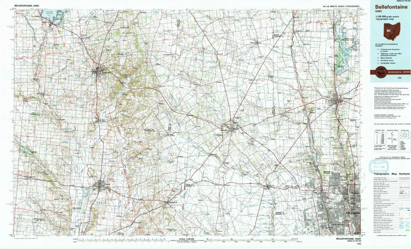
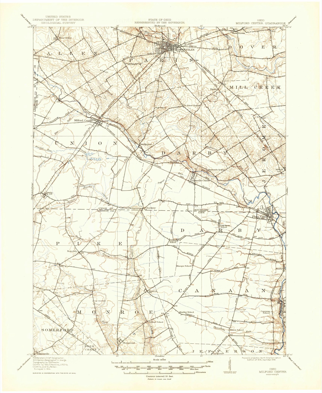
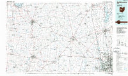
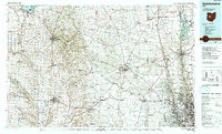
1916 to 1992The same ground, surveyed 76 years apart. Drag the handle to wipe between them. Both sheets are United States Geological Survey originals; neither has been altered.
Topographic sheets covering this place
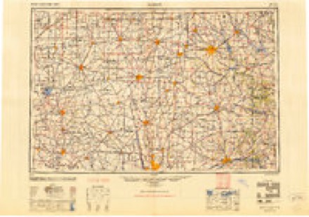
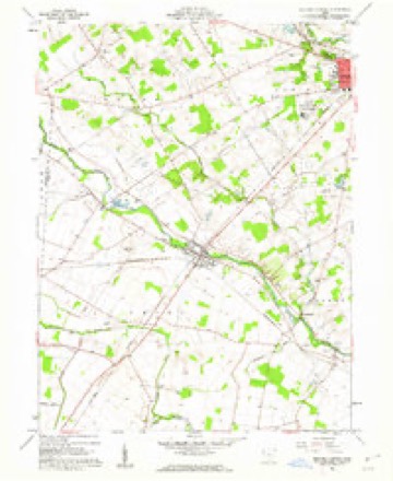
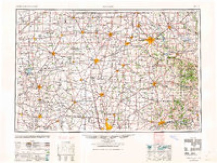
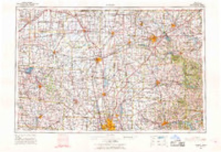
8 surveys from 12 printed sheetsMatched by testing this settlement's coordinate against the published boundary of every sheet in the United States Geological Survey's historical collection. Each opens the scanned sheet at the Survey.
- 1916 USGS Milford Center quadrangle1:62500
- 1944 USGS Milford Center quadrangle1:62500
- 1950 USGS Marion quadrangle1:250000
- 1961 USGS Milford Center quadrangle1:24000, 3 printings
- 1962 USGS Marion quadrangle1:250000
- 1966 USGS Marion quadrangle1:250000, 3 printings
- 1986 USGS Bellefontaine quadrangle1:100000
- 1992 USGS Bellefontaine quadrangle1:100000
In the county-history sources
41,266 words on this townshipThe History of Union County, Ohio, Containing a History of the County; Its Townships, Towns ... Military Record;, published 1883 names this settlement in its chapter on Allen Township. These are the passages that mention it, exactly as the scans read.
As soon as the first settlement had increased to a number sufficient to justify the effort of trying to establish a school, we do not find these worthy pioneers dilatory in taking measures to secure to their offspring these much-needed advantages. It is believed that the first session of school ever held in the precincts of Allen Township was taught by Wilson Reed, in the southeastern part of the township, near Buck Run. in the winter of 1829-30. It was taught in an old log cabin which had been vacated as a dwelling. The next term of school was taught by Amos A. Williams, which was also in a log cabin vacated as a dwelling, but in a different locality from the first, yet in the same neighborhood. The next school was taught by HoUis Amy, in his own house. The first building erected for school purposes was a log cabin situated on the Christopher Wilber land, at the corner where the Milford and Lewisburg pikes meet. This house was erected about the fall of 1832-33, and Amos A. Williams was the first teacher. This house served the purpose till about 1838- 39, when a frame house was erected near where the Buck Run Chapel now standsx This building served as a schoolhouse till the erection of the present frame house, situated on the Milford & Allen Center pike, just south of Buck Run. In a like manner, from settlement to settlement throughout Allen Township, as soon as each neighborhood could support a school, some place was furnished and a school established. The township is now divided into ten subdistricts, with as many good schoolhouses. The enumeration of scholars is as follows:
Passage source: The History of Union County, Ohio, Containing a History of the County; Its Townships, Towns ... Military Record;, published 1883.
At the location of Allen Center, the first business to be carried on was an ashery, which was erected and run a fetv years by Mr. Joel Everett. Soon after Joshua Eaton purchased five acres of land, and about 1848-49 laid out a few lots with the object of starting a town. A post office was established in February, 1851, with Reuben Foote commissioned as Postmaster. Ransal Smith carried on the cabinet-making business, and Stephen Donahue, blacksmithing. Mr. Barnet Bennett erected a large two-story frame house in 1861- 62, and in one of the rooms placed a small stock of goods, constituting the first general store. He continued business till 1864-65, when he sold out to Jacob Painter, who carried on an extensive trade till the fall of 1875, when he closed out his stock with a series of public sales, and removed to Mississippi. Since then one or two others have put in a few goods, but continued in trade but for brief periods of time. About the commencement of the war of the rebellion, the post office was discontinued. At present, the village contains a few houses, but no business except farming.
Passage source: The History of Union County, Ohio, Containing a History of the County; Its Townships, Towns ... Military Record;, published 1883.
Machine-read from a century-old scan, so expect the errors a machine makes: misspelled names, dropped words, stray characters.
Read the whole chapter on Allen Township - it names this place 5 more 5 times.
Fires near this place
1 since 2002Regional context, not property-specific evidence. The federal wildfire occurrence database lists 1 fire within 5 miles of Allen Center in 2002, burning under an acre in total. None started naturally. 1 was recorded as arson. Distance is straight-line from the map coordinates, so a fire counted here may appear on a neighbouring settlement's page as well.
| Reported cause | Fires |
|---|---|
| Arson/incendiarism | 1 |
The most recent of them, most recent first, with the day each was reported and the service that recorded it.
| Date | Cause | Size | Reported by | Name on the report |
|---|---|---|---|---|
| 23 March 2002 | Arson/incendiarism | under an acre | Ohio State Fire Marshal's Office | not named |
Settlements close enough to share some of these fires:
Specimens collected near this place
12 of 444 shownRegional context, not property-specific evidence. Museums hold 444 specimens collected within 10 miles of Allen Center between 1880 and 1975: 425 Animalia, 10 Plantae, 9 Fungi. 12 distinct Species records are shown. Collected by Andrew R. Moldenke, B., D. & B., D., B., D. & K., D. and others. Each is a physical object with a catalogue number, and each entry opens the museum's record. This is what was collected and kept, not a survey of what lives here - nothing can be concluded from a species being absent.
| Image | Species | Year | Collected by | Where, as recorded |
|---|---|---|---|---|
 | Ardea herodias herodias Linnaeus, 1758 | 1880 | not recorded | Marysville, Union, Ohio, USA |
 | Haliaeetus leucocephalus leucocephalus (Linnaeus, 1766) | 1881 | not recorded | Pleasant Valley, Union, Ohio, USA |
| Anomodon rostratus (Hedw.) Schimp. | 1894 | Mrs. Smyth | ||
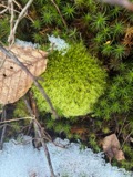 | Leucobryum glaucum (Hedw.) Ångstr. | 1894 | not recorded | |
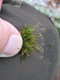 | Tetraphis pellucida Hedw. | 1894 | not recorded | |
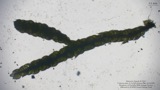 | Thelia asprella (Schimp.) Sull. | 1894 | Mrs. Smyth | |
| Uredo | 1897 | W. A. Kellerman | ||
| Uromyces plumbarius Peck | 1897 | W. A. Kellerman | ||
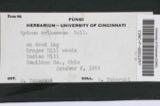 | Hydnum erinaceus Bull. | 1918 | Weir J. R. | Marysville |
 | Buteo jamaicensis borealis (Gmelin, 1788) | 1924 | Trautman, M. B. (Milton Bernard) | Union, Ohio, USA |
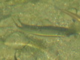 | Campostoma anomalum (Rafinesque, 1820) | 1925 | CL & LC Hubbs | Bokes Cr., on state road 21 |
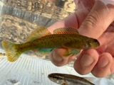 | Etheostoma blennioides Rafinesque, 1819 | 1925 | CL & LC Hubbs | Bokes Cr., on state road 21 |
All 444 specimens within 10 miles, at the Global Biodiversity Information Facility.
Nearest settlements
The eight closest, with where each one stands in the county. Distances are straight-line, computed from the Geographic Names Information System coordinates.
| Map | Place | Distance | Sheets |
|---|---|---|---|
| Hunters Run | 1.5 miles | 12 | |
| Pottersburg | 2.1 miles | 14 | |
| Otter | 3.9 miles | 14 | |
| Green Pastures | 4.7 miles | 12 | |
| Milford Estates | 4.9 miles | 12 | |
| Milford Center | 4.9 miles | 12 | |
| Peoria | 5.3 miles | 14 | |
| Hickory Run | 5.3 miles | 12 |
Elsewhere
Matched on this settlement's Geographic Names Information System number rather than its name, so it cannot be a different place of the same name in another state.
| Wikipedia article on Allen Center | An encyclopaedic summary. Its text is share-alike, so it is linked here rather than copied. |
| Wikidata item Q4731571 | The structured record the population and elevation above come from. Public domain (CC0). |
Provenance
This settlement is recorded in the Geographic Names Information System as feature 1060818. The sheet list is computed by point-in-boundary test against the United States Geological Survey's historical topographic inventory. Both are works of the United States government and carry no copyright under 17 U.S.C. 105.
Wildfire. Short, Karen C. 2022. Spatial wildfire occurrence data for the United States, 1992-2020 [FPA_FOD_20221014]. 6th Edition. Fort Collins, CO: Forest Service Research Data Archive. https://doi.org/10.2737/RDS-2013-0009.6 Collected with United States Government funding and usable without additional permissions or fees.
Specimens. Global Biodiversity Information Facility (GBIF), https://www.gbif.org/. Only records licensed CC0 or CC BY are used. Records licensed CC BY-NC are excluded because this site carries advertising. Images are checked individually and any whose licence is non-commercial, no-derivatives or unreadable is refused.