44 topographic sheets and 20 fire insurance
atlases across 3 places.
Research this county
This curated hub for Union County, Ohio brings together the page's documented record links, visible map or image evidence where published, and routes to related local records.
Use the page's provenance and linked records to distinguish the source material from the site's navigation and summaries.
How should I cite it?
Open the original record, preserve its repository and identifier, then use the citation tool for this page as a path back to the source.
Where should I go next?
Follow the county or state hub for related places and records, then use the guide for a source-aware research sequence.
From the record
“One of the most highly honored and respected citizens of Allen township, Union county, Ohio, is Reuben Poling, who was born, reared and has spent his entire life in this township. He served with notable distinction in the Civil War. He served in many of the severest engagements of that terrible struggle and was fortunate to escape without being wounded or captured.”
Reuben Poling - History of Union County, Ohio; Its People, Industries and Institutions (1915). Machine-read text.
4 National Register listings · 43 businesses named in the fire insurance atlases from 1890 to 1946 · the 1915 county history tells 5 stories and names 265 people · people the book names include Harry L. Agner (Jerome Township, 1915) (machine-read).
Ohio within the United StatesUnion County within Ohio
Explore by year
What the record shows
3 places in this county were surveyed for fire insurance: Marysville, Richwood, Milford Center, between 1885 and 1946.
20 fire insurance atlas(es) survive for the county. Topographic coverage is national; fire insurance survey reached only incorporated places with something worth insuring.
620 topographic sheet readings cover the county's settlements.
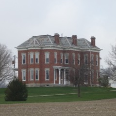
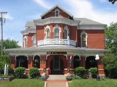
4 properties here are on the National Register of Historic Places, including 1 covered bridge, 2 houses and farms.
2 of the 4 listings were added during the 1970s.
The Geographic Names Information System records 50 populated places in this county; 0 are covered by at least one topographic sheet.
6 public-domain county histories, 1883 to 1915, supply 516,512 words of narrative reproduced here in full.
What happened here
5 accounts
A captivity, a drowning, a famine, a man
scalped clearing his lot in 1789. These are passages from History of Union County, Ohio; Its People, Industries and Institutions, written
while people who remembered the events were still alive, and each one
opens the section it comes from.
1915, Jerome Township
William H. Goff
A veteran of the Civil War, a large land owner, a successful mill operator, William H. Goff is one of the honored citizens of Union county, Ohio. He enlisted in the Civil War at the age of nineteen, was severely wounded several times, and was on crutches for nearly three years after the war closed. He has taken a prominent part in the life of his community since the Civil War and is one of the largest land owners and most successful farmers of the county.
The ancestors of the Robinson family were French Huguenots who escaped to London, Great Britain, after the massacre of Saint Bartholomew, August 23, 1572, and after the re\'ocation of the Edict of Nantes (a proclamation by Henry IV, King of Navarre and France, in 1598, giving to the Protestants religious freedom) by Louis XIV, King of France, in 1685, at which time five hundred thousand Protestants took refuge in foreign countries.
The honor which should always be accorded the brave sons of the North who left their homes and peaceful pursuits to give their services and their lives if need be, to preserve the integrity of the American Union, is certainly due Elias Hathaway, who left this countv at the age of eighteen to serve his country, to pro\-e his l()\'e and loyalty to the government on the long and tiresome marches in all kinds of situations, exposed to summer's withering sun and winter's freezing cold, and before his final discharge had been captured b_\- the Confederates and was a prisoner for a short time.
One of the most highly honored and respected citizens of Allen township, Union county, Ohio, is Reuben Poling, who was born, reared and has spent his entire life in this township. He served with notable distinction in the Civil War. He served in many of the severest engagements of that terrible struggle and was fortunate to escape without being wounded or captured.
A veteran of the Civil War, a highly respected citizen of Washington township and a farmer for the past half century, Francis Alarion W^hips is eminently entitled to representation in the history of his county. Mr. Whips had two brothers in the Civil War and he himself was badly wounded on two different occasions in the fearful struggle.
Taken for the Office of War Information and
the Farm Security Administration, who photographed the country between
1935 and 1944. Works of United States government photographers, with no
known restriction on use. Each opens its catalogue record.
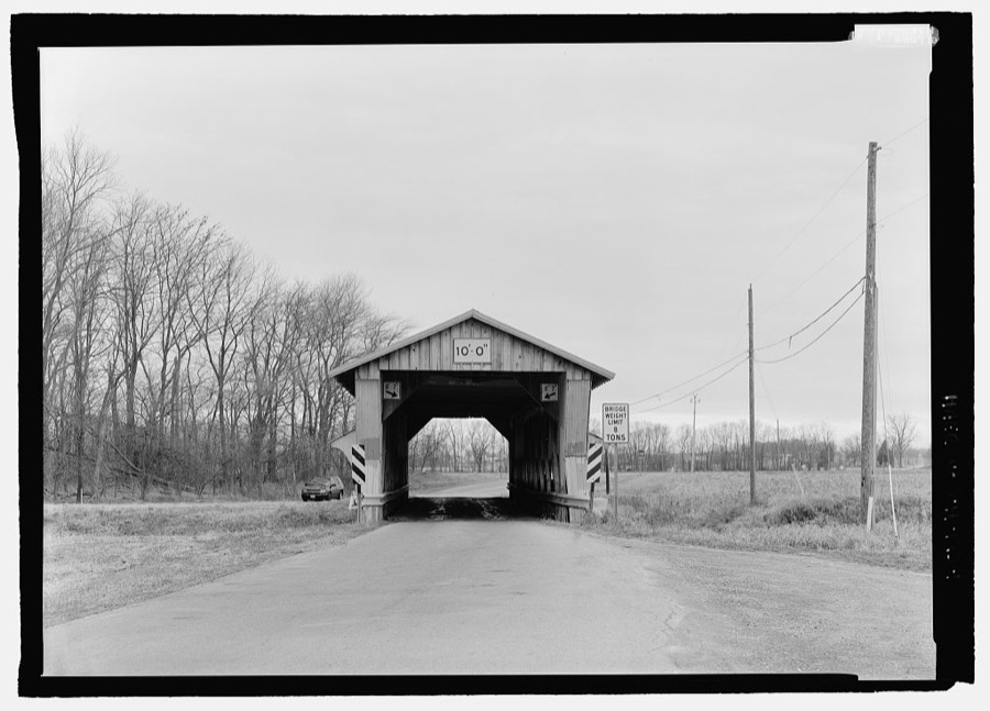
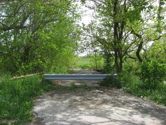
Pottersburg Bridge, Spanning Big Darby Creek, North Lewisburg Road (CR 164), North Lewisburg, Union County, OH Unattributed, . Library of Congress
Places on the National Register
4
Every property in this county listed on the
National Register of Historic Places, with the year it was listed and the
federal nomination document.
Union County holds 1 covered bridges on
the National Register, more than any other property type here. Each is a listed
structure with a federal nomination on file.
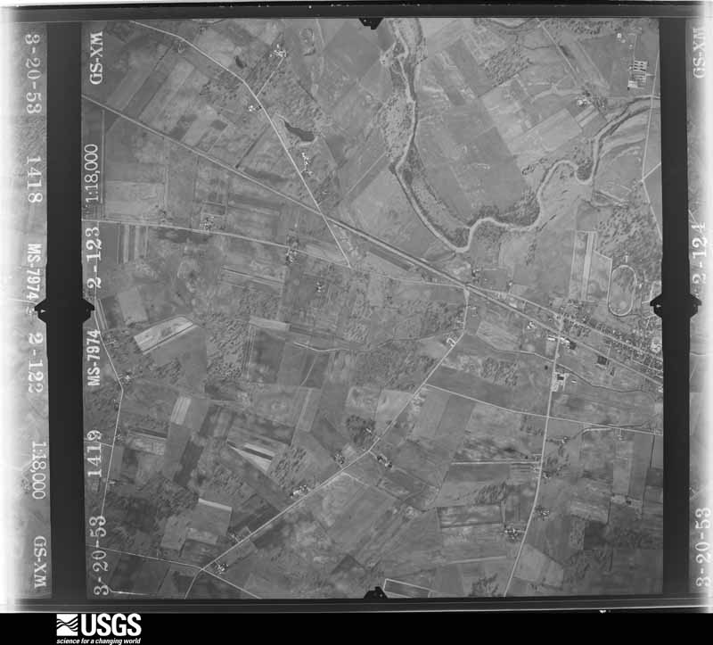
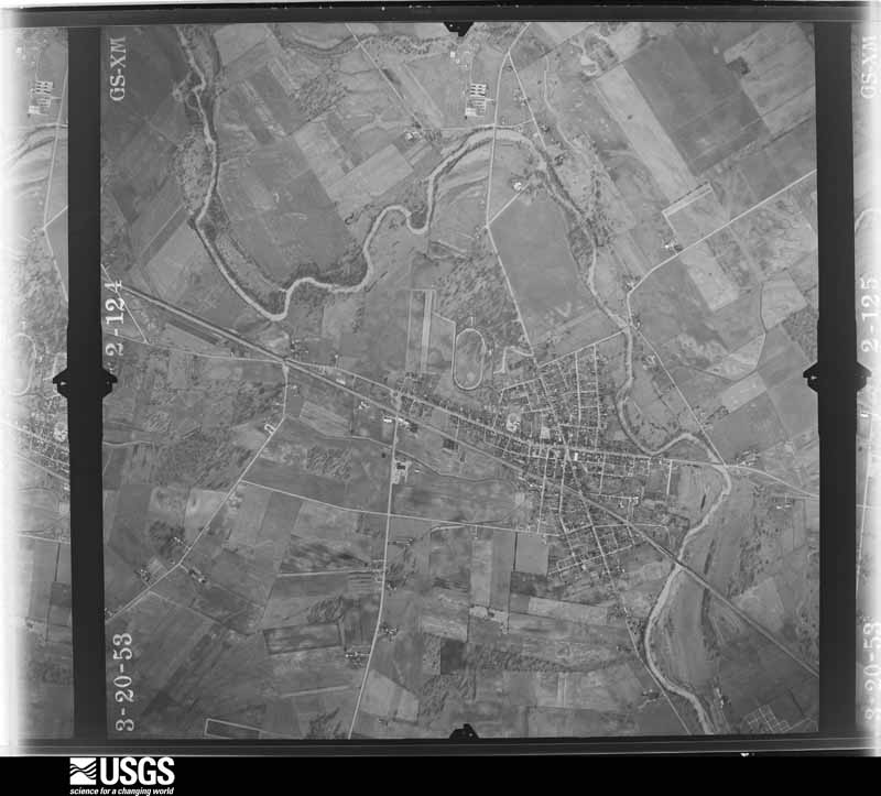
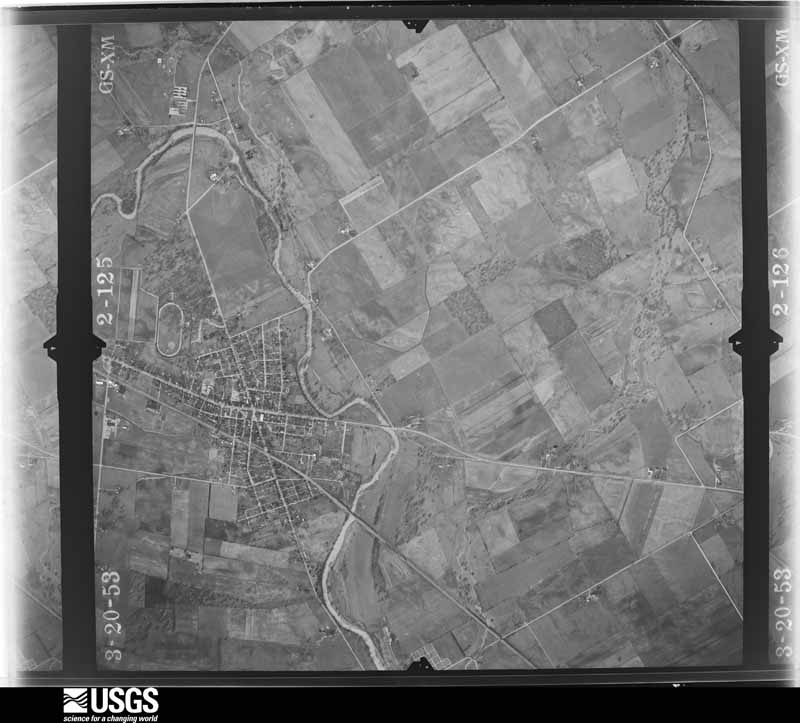
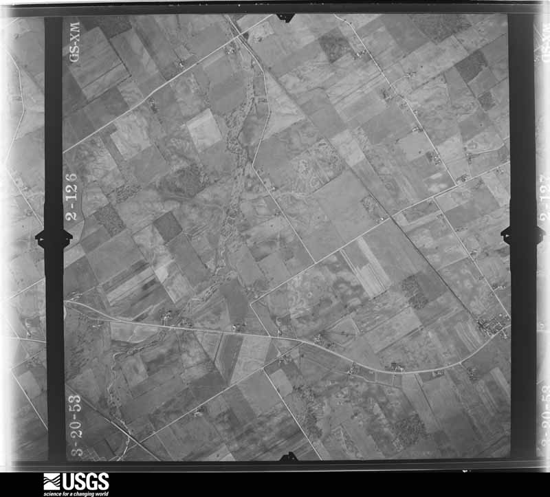
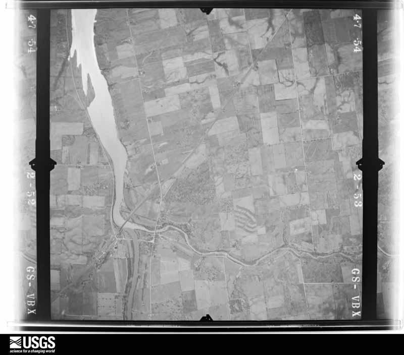
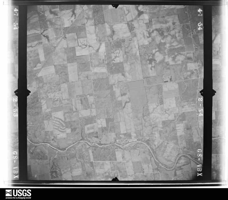
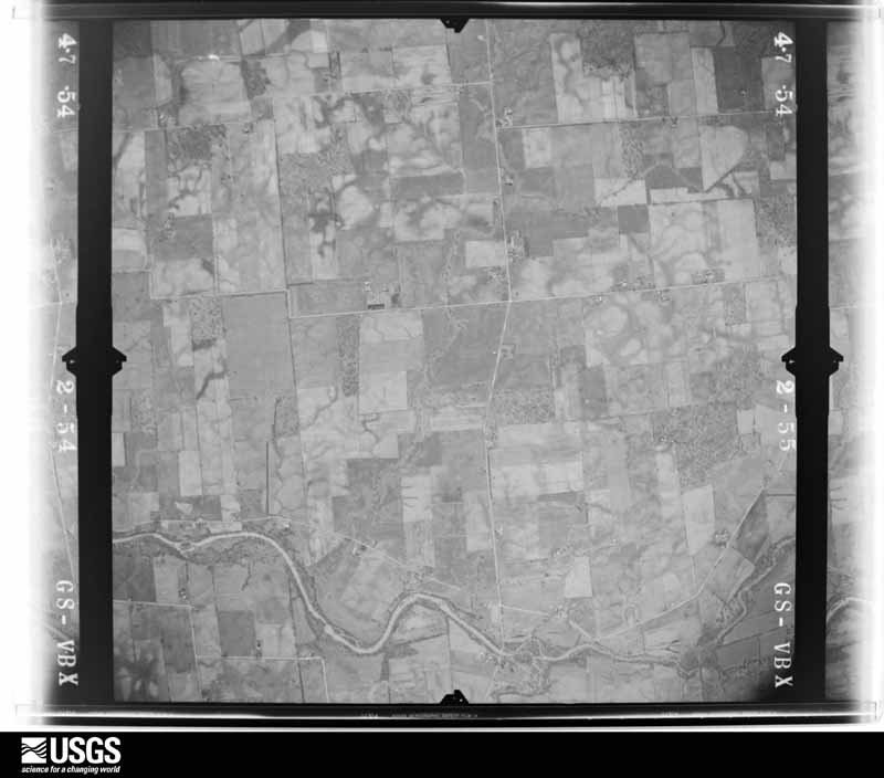
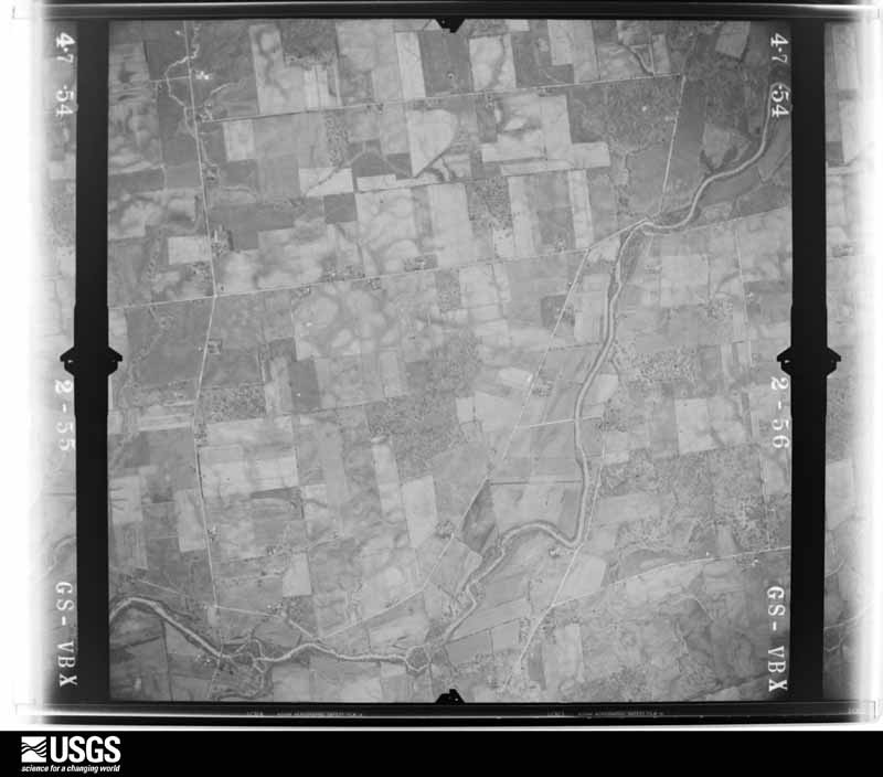
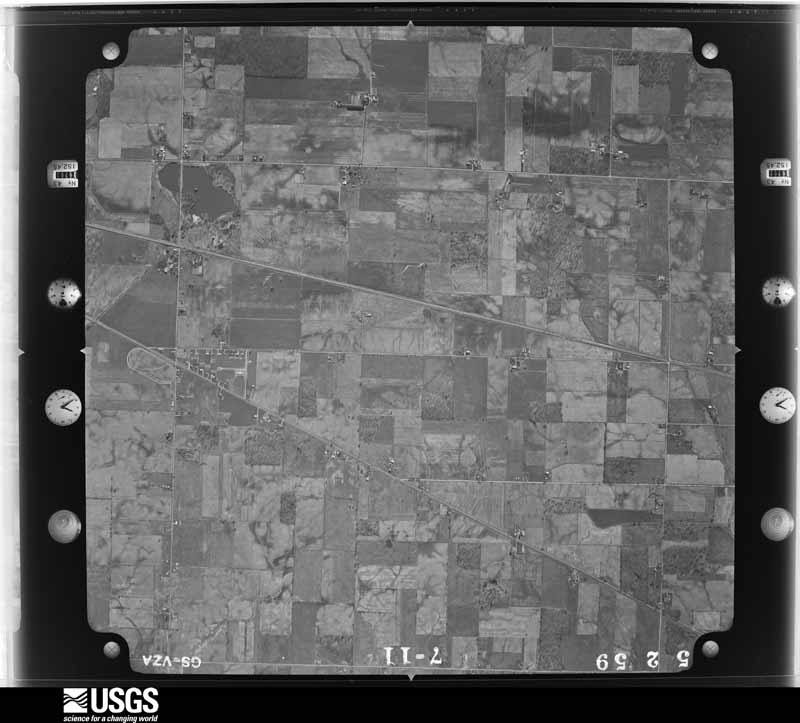
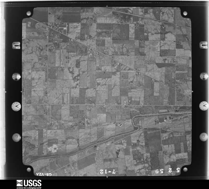
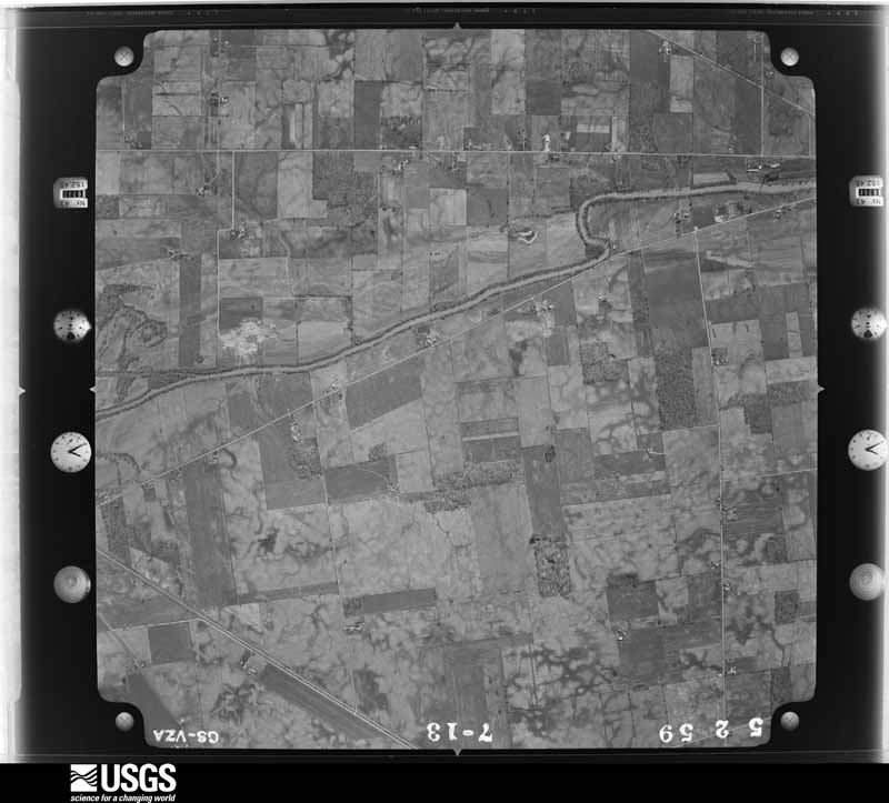
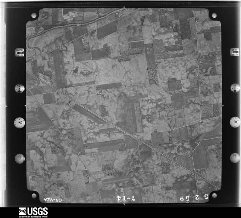
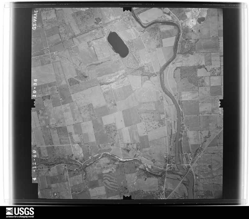
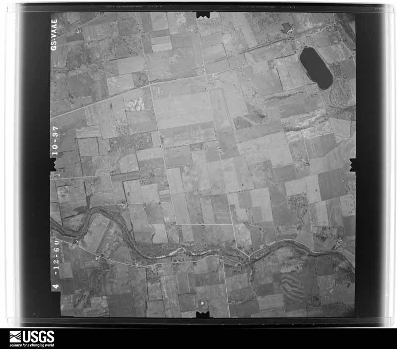
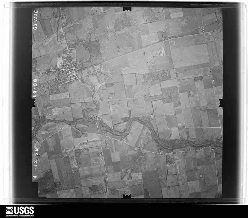
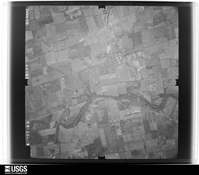
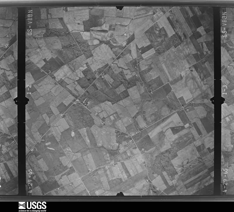
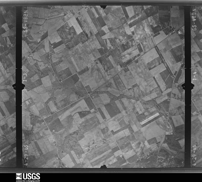
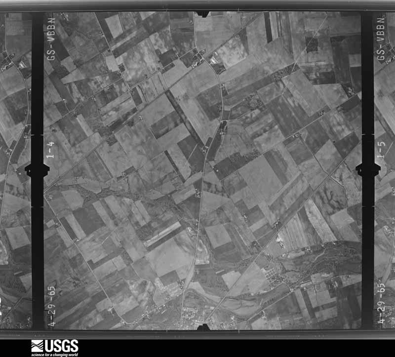
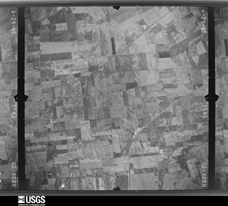
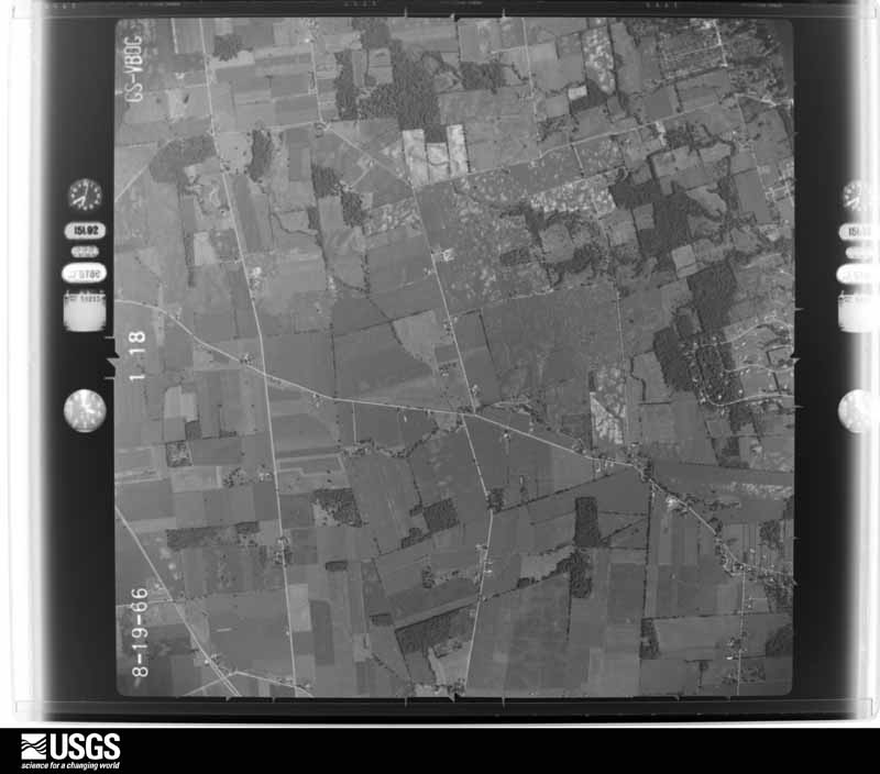
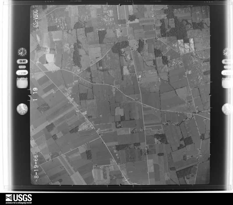
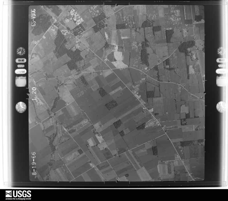
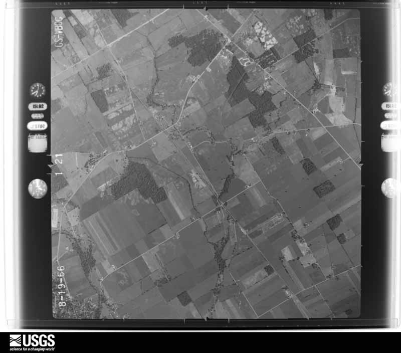
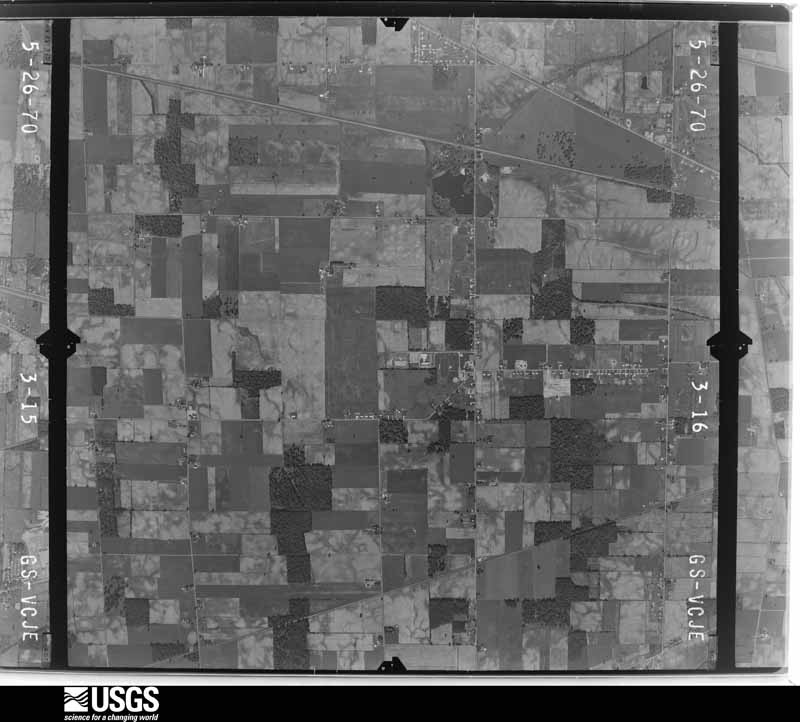
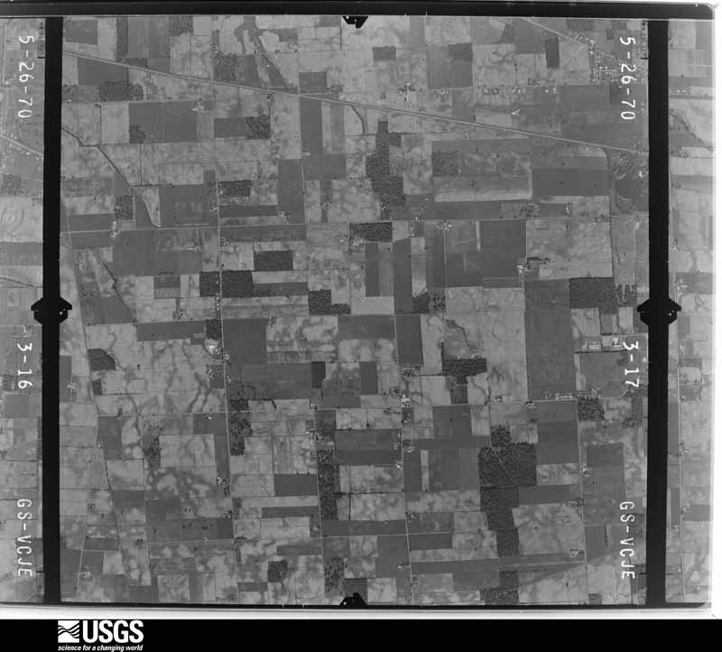
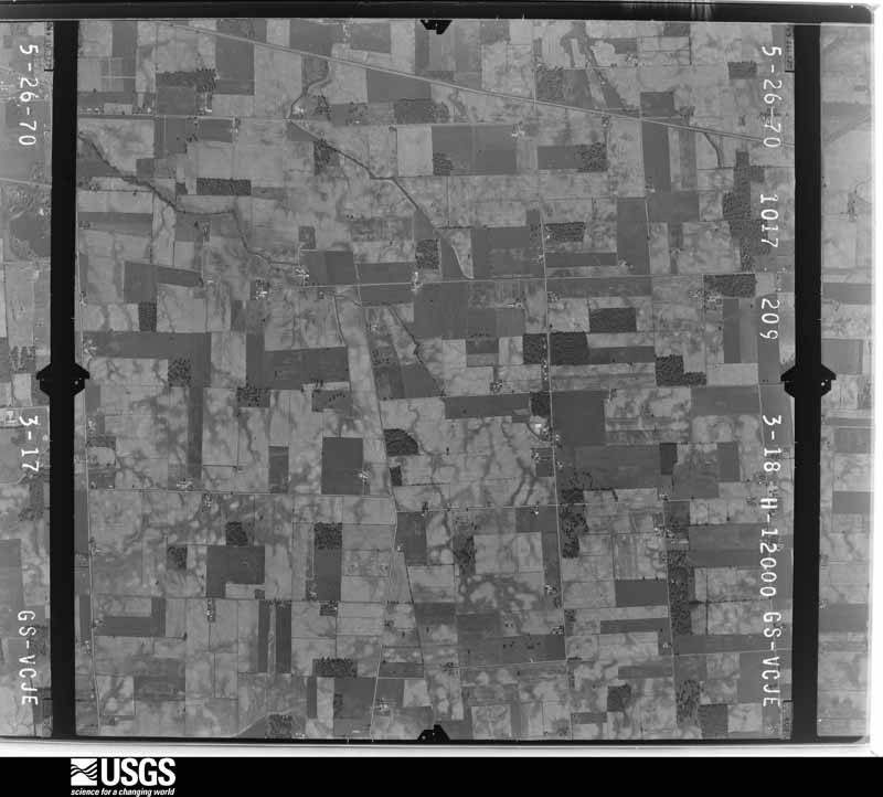
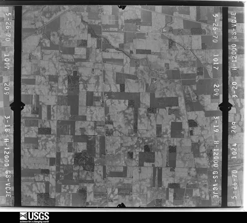
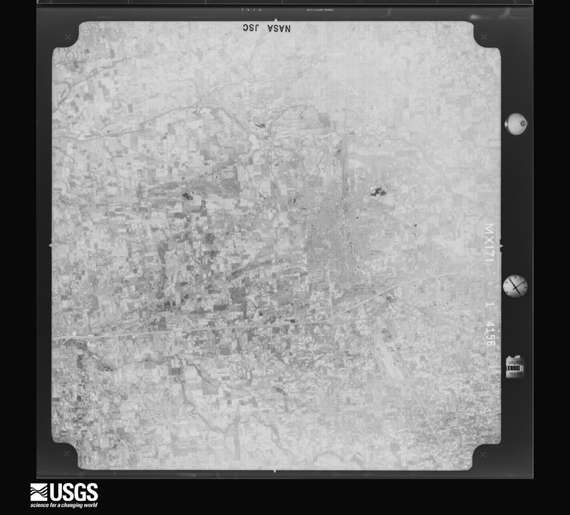
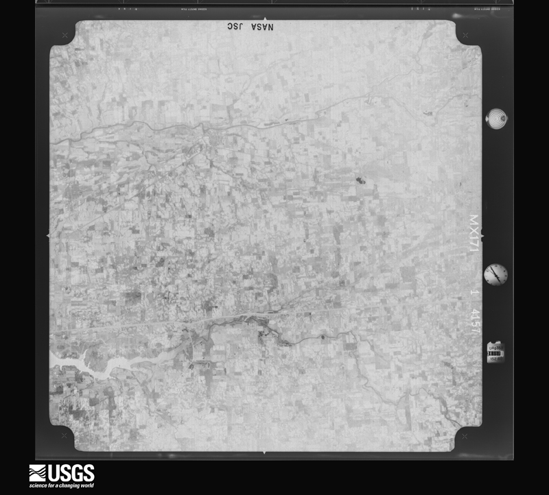
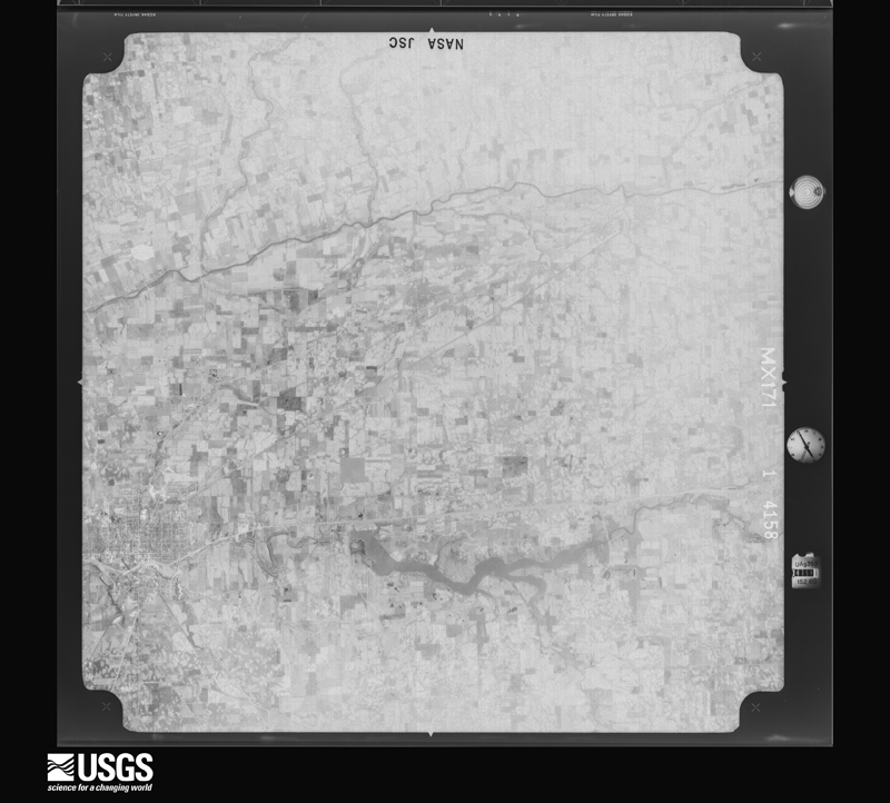
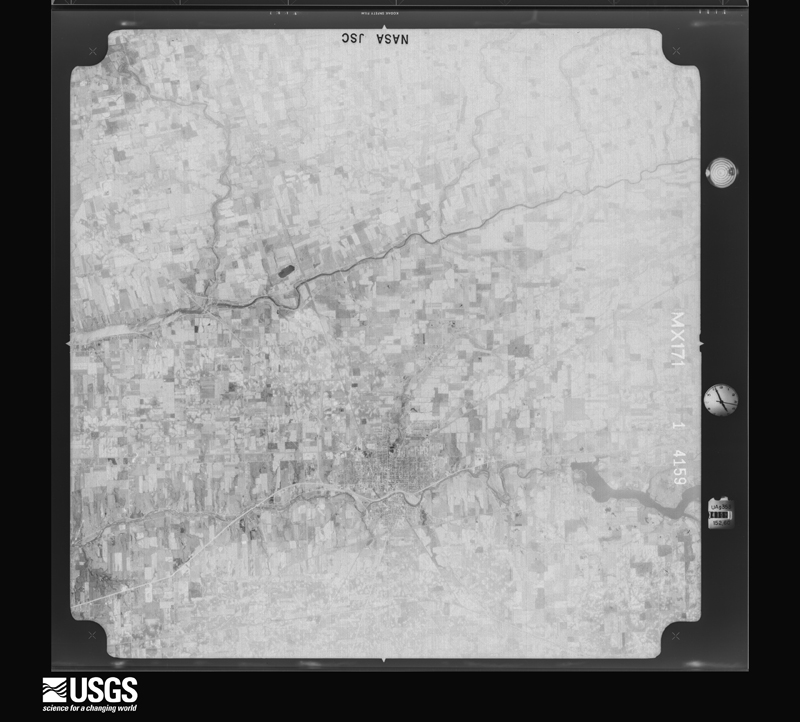
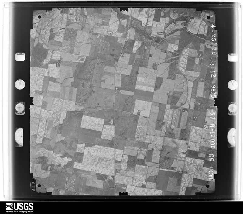
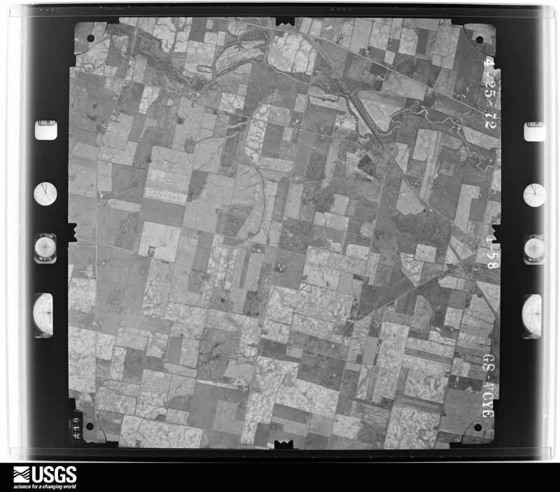
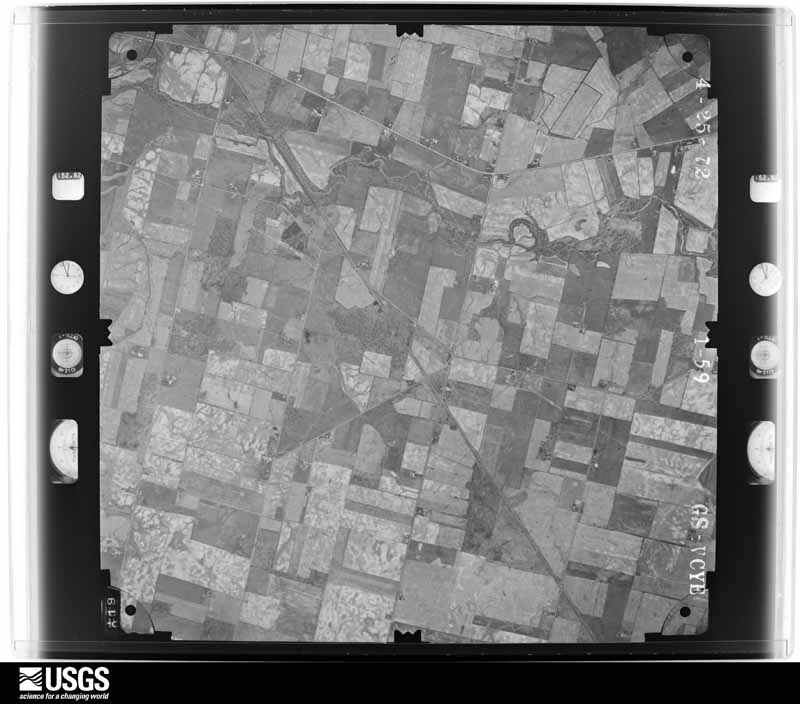
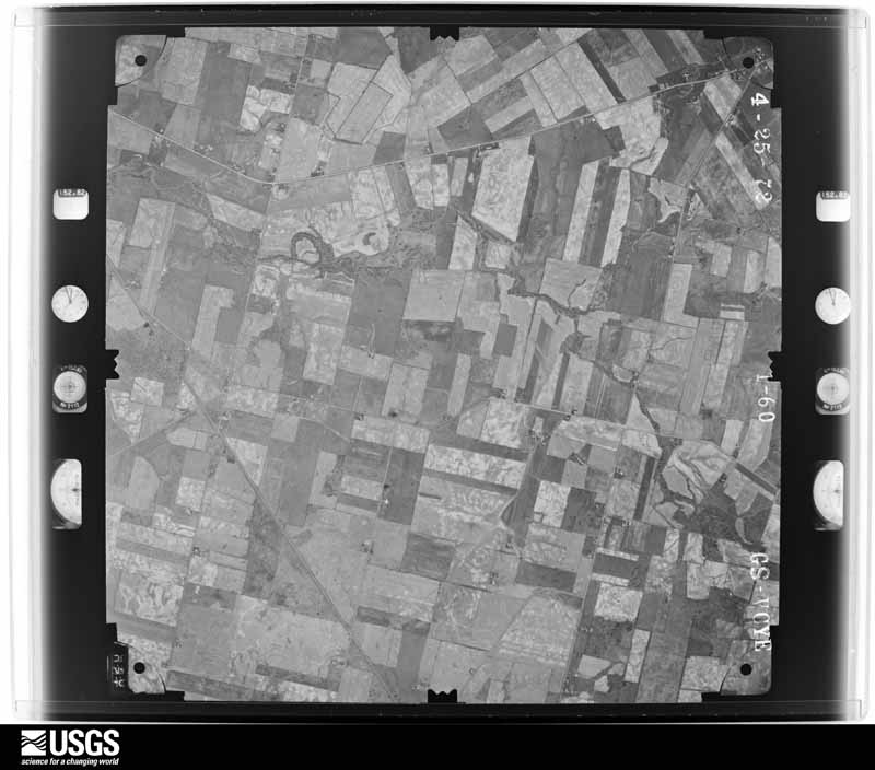
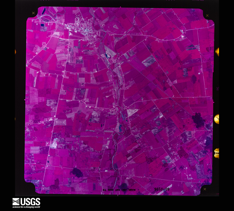
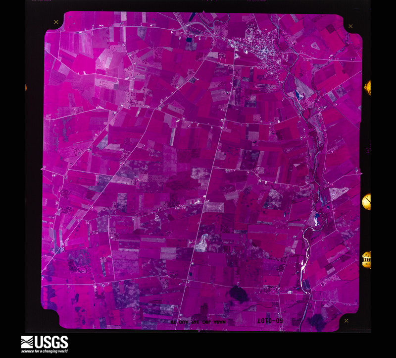
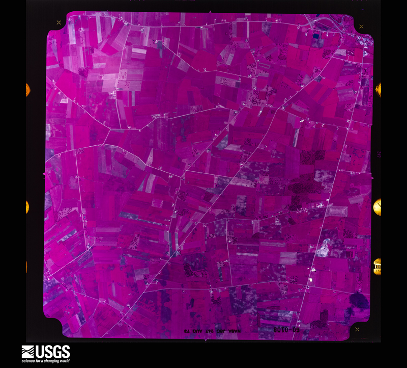
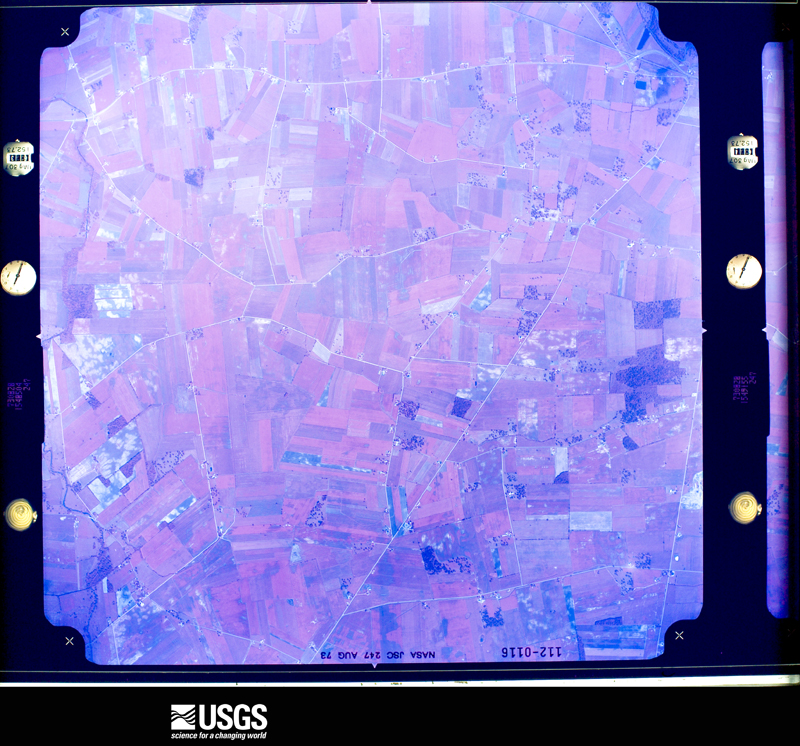
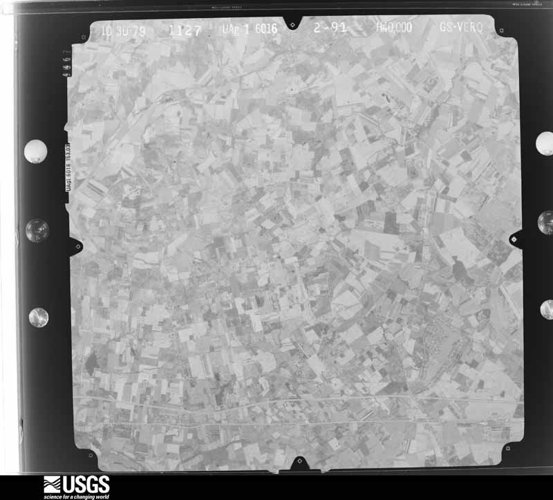
Flown by the U.S. Geological Survey
between 1937 and 1989, the Aerial Photo Single Frames collection is
the definitive mid-century view of the land: fields, roads and rivers
as the camera saw them. 558 frames touch this county; the
selection below spreads across the decades of flights (at most four
per year), so one flight cannot crowd out the rest. The full set is
free to browse and download at
EarthExplorer under the dataset Aerial Photo Single
Frames.
1953-03-01, scale 1:18000. U.S. Geological Survey aerial photograph.1953-03-01, scale 1:18000. U.S. Geological Survey aerial photograph.1953-03-01, scale 1:18000. U.S. Geological Survey aerial photograph.1953-03-01, scale 1:18000. U.S. Geological Survey aerial photograph.1954-04-09, scale 1:18000. U.S. Geological Survey aerial photograph.1954-04-09, scale 1:18000. U.S. Geological Survey aerial photograph.1954-04-09, scale 1:18000. U.S. Geological Survey aerial photograph.1954-04-09, scale 1:18000. U.S. Geological Survey aerial photograph.1959-05-08, scale 1:18000. U.S. Geological Survey aerial photograph.1959-05-08, scale 1:18000. U.S. Geological Survey aerial photograph.1959-05-08, scale 1:18000. U.S. Geological Survey aerial photograph.1959-05-08, scale 1:18000. U.S. Geological Survey aerial photograph.1960-04-12, scale 1:17000. U.S. Geological Survey aerial photograph.1960-04-12, scale 1:17000. U.S. Geological Survey aerial photograph.1960-04-12, scale 1:17000. U.S. Geological Survey aerial photograph.1960-04-12, scale 1:17000. U.S. Geological Survey aerial photograph.1965-04-29, scale 1:24000. U.S. Geological Survey aerial photograph.1965-04-29, scale 1:24000. U.S. Geological Survey aerial photograph.1965-04-29, scale 1:24000. U.S. Geological Survey aerial photograph.1965-04-29, scale 1:24000. U.S. Geological Survey aerial photograph.1966-08-19, scale 1:24000. U.S. Geological Survey aerial photograph.1966-08-19, scale 1:24000. U.S. Geological Survey aerial photograph.1966-08-19, scale 1:24000. U.S. Geological Survey aerial photograph.1966-08-19, scale 1:24000. U.S. Geological Survey aerial photograph.1970-07-16, scale 1:24000. U.S. Geological Survey aerial photograph.1970-07-16, scale 1:24000. U.S. Geological Survey aerial photograph.1970-07-16, scale 1:24000. U.S. Geological Survey aerial photograph.1970-07-16, scale 1:24000. U.S. Geological Survey aerial photograph.1971-04-16, scale 1:101482. U.S. Geological Survey aerial photograph.1971-04-16, scale 1:101482. U.S. Geological Survey aerial photograph.1971-04-16, scale 1:101482. U.S. Geological Survey aerial photograph.1971-04-16, scale 1:101482. U.S. Geological Survey aerial photograph.1972-05-01, scale 1:24000. U.S. Geological Survey aerial photograph.1972-05-01, scale 1:24000. U.S. Geological Survey aerial photograph.1972-05-01, scale 1:24000. U.S. Geological Survey aerial photograph.1972-05-01, scale 1:24000. U.S. Geological Survey aerial photograph.1973-08-16, scale 1:42695. U.S. Geological Survey aerial photograph.1973-08-16, scale 1:42577. U.S. Geological Survey aerial photograph.1973-08-16, scale 1:42577. U.S. Geological Survey aerial photograph.1973-08-28, scale 1:40817. U.S. Geological Survey aerial photograph.1979-11-01, scale 1:80000. U.S. Geological Survey aerial photograph.
City directories
1 volume
The "who lived here, by year" answer:
pre-1929 public-domain directory volumes naming the county's people,
machine-read and searchable as text.
The thermometers that kept this
county's weather, and the gages that watched its rivers, as the
federal records hold them. The extremes below are measured values
from those records, not estimates.
RICHWOOD1894 to 1904, hottest 39.4 C, coldest -32.2 C
Who lived here in 1950, one enumeration
district at a time, as the Census Bureau described each district.
Each row opens its official National Archives result, with Population
Schedules and ED Maps available there.
80-9Jerome township: Plain City village - That part in Union County comprising part of Jerome township (Remainder of Plain City village is in Darby township, Madison County)
80-10Jerome township - That part outside Plain City village
80-14Millcreek township Paris township: Marysville village:
80-15Marysville village - That part comprising Ward 1 Bounded by Ward line, Village limits; Village limits; Watkins Ave., E. 5th, Chestnut, E. 6th; Main
80-16Marysville village - That part comprising Ward 2 Bounded by E. 6th, Chestnut, E. 5th, Watkins Ave.; Village limits; Village limits; London Rd., W. 8th, Main
80-17Marysville village - That part of Ward 3 Bounded by W. 5th; Main, W. 8th, London Rd.; Village limits; Milford Rd., Maple
80-18Marysville village - That part of Ward 3 Bounded by W. 5th; Maple, Milford Rd.; Village limits; Village limits
80-19Marysville village - That part of Ward 4 Bounded by Village limits; Village limits, Ward line, Main; W. 5th; Maple
80-20Marysville village - That part of Ward 4 Bounded by Village limits; Maple; W. 5th; Village limits
80-21Paris township - That part outside Marysville village, excluding Ohio State Reformatory for Women
80-22Ohio State Reformatory for Women (In Paris township)
80-27York township: York township - That part north of State Hwy. 47
80-28York township - That part south of State Hwy. 47
Businesses named in the atlases
43 businesses
Every Sanborn volume opens with a printed index
naming the town's mills, tanneries, hotels and works by proprietor. Those
indexes were read off the scanned sheets by machine and then matched to each
other, so a business surveyed four times appears here once, with the years it
survived. 10 of these 43 were named in more than one atlas. Each carries a
crop of the line it was read from: the spelling is the recogniser's and the
1880s lithographer's, and the scan behind it is the proof.
Every wildfire the federal occurrence
database records inside this county: 1 of them, burning about
1 acres. 0 started naturally and 0 were
recorded as arson. Each settlement page carries the fires within five
miles of it.
Reported cause
Fires
Missing data/not specified/undetermined
1
The five largest, by the area the report
gives. None of them was recorded as arson.
Date
Cause
Size
Reported by
Name on the report
13 September 2002
Missing data/not specified/undetermined
1.0 acres
Ohio State Fire Marshal's Office
not named
Every settlement page carries the fires within five
miles of it - see the settlement index below.
Storms, 1963 to
2026
60 of 274 shown
The
NOAA Storm Events Database holds
274 reports for this county, causing 0 deaths,
11 injuries and about $5,541,030 in recorded property damage.
Each settlement page carries the reports that name it.
Kind of event
Reports
Thunderstorm Wind
147
Hail
67
Flood
31
Flash Flood
15
Tornado
12
Heavy Rain
2
The most serious of them, by death, then
injury, then recorded damage. The accounts are quoted exactly as the
forecast office filed them.
The tornado moved into the northwest part of the county from Logan County, tracking northeast across rural areas. Nine homes were damaged, four of which were completely destroyed. Half a dozen barn and sheds were destroyed. A 400-foot metal hi-tension cellular tower was toppled and destroyed and numerous cars were totalled. The worst damage occurred to a modular home along Newton-Perkins Road. Two individuals in the home were severely injured.
Thunderstorms moved repeatedly over the same areas causing most creeks and streams to overflow their banks and flood county roads. Several residents were evacuated as up to 7.5 inches of rain fell in less than 24 hours.
The tornado developed in far western Union County near Newton Perkins Road and strengthened as it moved east across Lunda and Morse Roads where it caused some roof damage to homes. The tornado quickly strengthened further and affected a number of homes along Evans Road as it crossed State Route 739 and then continued southeast to areas just north of Broadway. Across portions of that corridor, damage was consistent with wind speeds of 115 to 125 mph. One modular home was completely destroyed with its contents thrown downstream nearly a half mile and another home lost a majority of its roof with exterior wall collapse. ||Significant tree damage was observed near Broadway, including in a cemetery just to the east of Broadway. As the tornado passed Broadway and continued southeast across State Routes 31 and 4, a number of additional homes and barns were impacted, with roof damage being common. Tree damage along the entire length of the tornado was considerable with trees uprooted and trunks snapped. The tornado crossed into Delaware County about 4 miles northeast of New Dover at 1948EST. The tornado continued east across far western Delaware County before ending at 1952EST, about 2 miles northeast of Ostrander.
Damage from the tornado consisted of several large tree limbs and trees down. Light structural damage occurred to several homes near State Route 38 and Timberview Drive. This damage included the loss of shingles and siding. The most significant damage occurred to a home along State Route 38 which suffered near total roof loss. Based on the damage, wind speeds were estimated to be around 85 miles per hour.
The weak tornado began on a property near Payne Road just west of Marysville, Ohio. The tornado toppled a small silo, several small to medium-sized trees, and caused minor damage to an older barn and a few roof shingles. Additional damage occurred to a large metal barn located around a third of a mile to the north. This barn sustained uplift of the roof along with partial collapse of the metal walls. In addition, several trees were snapped in the woods adjacent to the barn.
The Survey's mineral resources record
lists 3 workings inside this county. 3 still
produce and 0 are closed or unrecorded. Each settlement
page carries the workings within five miles of it.
Commodity
Workings
Stone, Crushed/Broken
3
The least common of them first, because a
county's hundredth gravel pit says nothing its first ten did not.
Museum specimens collected inside this
county and catalogued with a date and a place: 758 of them, by
kingdom 717 animalia, 28 fungi, 12 plantae, 1 unrecorded. Each is a physical object in a named collection, not a
sighting. Held by Ohio State University - Fish Division, Columbus, OH (OSUM), UMMZ, Ohio State University - Bird Division, Columbus, OH (OSUM), Ohio State University - Amphibian Division, Columbus, OH (OSUM), Ohio State University - Mammal Division, Columbus, OH (OSUM), FMNH among others, and each settlement page carries
the specimens collected near it.
The oldest of them. A specimen proves
something was collected on that day; its absence proves nothing.
History of Union County, Ohio; Its People, Industries and Institutions devotes a chapter to each township:
its boundaries and streams, who settled it and when, the mills, the
schools and the churches. All 3 are reproduced here in full. Each row
shows the township's own shape and where it lies in the county, drawn from
the Census Bureau's boundary. Which settlements belong to which township
is computed from that same boundary, not taken from the book.
Everyone History of Union County, Ohio; Its People, Industries and Institutions stops to write about, with
the section that describes them. Among them are the men who founded the
place and governed the Territory. Each name opens the passage itself, in
the words of 1915.
Named settlements recorded in the Geographic Names
Information System, each with the topographic sheets covering it. Villages,
hamlets and abandoned places alike. Each is shown with the watercourse or
landform it stands on and the survey quadrangle it falls on. The 3
places that were also surveyed for fire insurance come first, with the
number of atlases and photographs held for them.
The complete index, with nothing left out.
Each of these is a separate record with its own page: a federal survey
report, or the case file that argued a property on to the National
Register. Both are public domain and reproduced word for word.
Topographic sheets. USGS Historical Topographic Map Collection, county index, measured from the bulk metadata.
Fire insurance maps. Library of Congress Sanborn collection, faceted to this county.
Photographs. Each place queried individually against the Library of Congress Prints and Photographs search.
Wildfire. Short, Karen C. 2022. Spatial wildfire occurrence data for the United States, 1992-2020 [FPA_FOD_20221014]. 6th Edition. Fort Collins, CO: Forest Service Research Data Archive. https://doi.org/10.2737/RDS-2013-0009.6 Collected with United States Government funding and usable without additional permissions or fees.
Specimens. Global Biodiversity Information Facility (GBIF), https://www.gbif.org/. Only records licensed CC0 or CC BY are used. Records licensed CC BY-NC are excluded because this site carries advertising. Images are checked individually and any whose licence is non-commercial, no-derivatives or unreadable is refused.
Mines and quarries. USGS Mineral Resources Data System (MRDS) https://mrdata.usgs.gov/mrds/ A work of the United States government, no copyright under 17 U.S.C. 105.
Storms. NOAA National Centers for Environmental Information, Storm Events Database https://www.ncei.noaa.gov/stormevents/ A work of the United States government, no copyright under 17 U.S.C. 105. Narratives are quoted verbatim from the National Weather Service report and are not edited or summarised.
 Block
Block