 Block
Block
Attleboro, Massachusetts
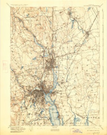
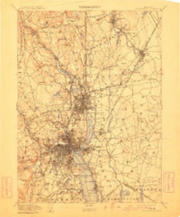
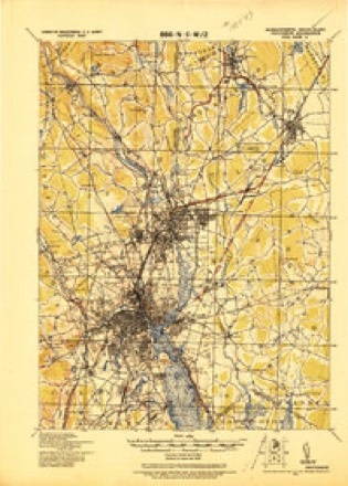
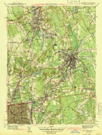
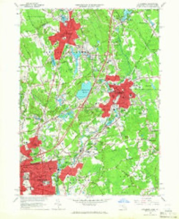
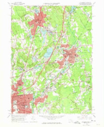
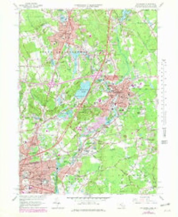
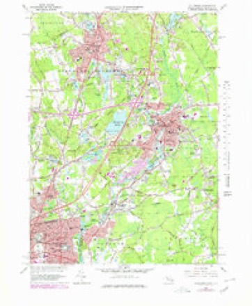
36 topographic sheets cover this place, the earliest surveyed in 1887 and the latest in 1987. It stands in Attleboro City. It lies in ZIP code area 02703. It stands on Bungay River. The Survey maps it on the Attleboro quadrangle. 46,461 people lived here at the 2020 count. It stands 138 feet above sea level.
Research this city
This curated hub for Bristol County, Massachusetts brings together the page's documented record links, visible map or image evidence where published, and routes to related local records.
What is documented here?
Use the page's provenance and linked records to distinguish the source material from the site's navigation and summaries.
How should I cite it?
Open the original record, preserve its repository and identifier, then use the citation tool for this page as a path back to the source.
Where should I go next?
Follow the county or state hub for related places and records, then use the guide for a source-aware research sequence.
Population over time
2 figuresAttleboro grew from 43,593 to 46,461 between 2010 and 2020. These are the recorded population figures Wikidata holds for this place, reached through the Geographic Names Information System number this page is keyed on rather than by name, so they belong to this place and not to another of the same name. Most are census counts, but not all are: an early figure may be a founding or settlement estimate. The change column is computed, and is left blank where more than 20 years separate a figure from the one before it, because a gap that long is not a change between two counts.
| Year | People | Change |
|---|---|---|
| 2010 | 43,593 | |
| 2020 | 46,461 | +2,868 (+7%) |
Then and now
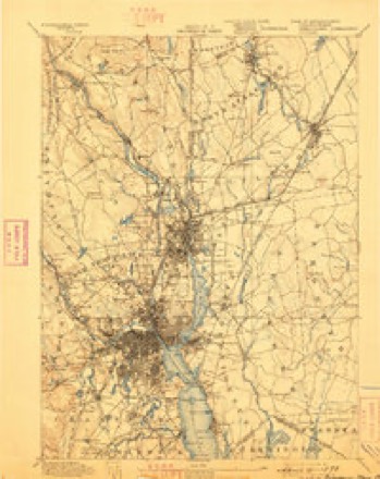
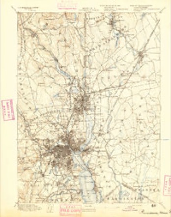
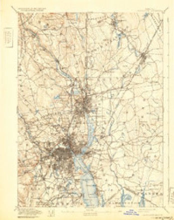
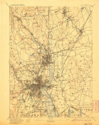
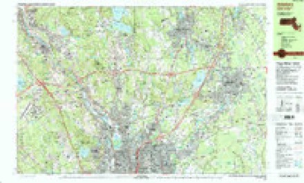
1887 to 1987The same ground, surveyed 100 years apart. Drag the handle to wipe between them. Both sheets are United States Geological Survey originals; neither has been altered.
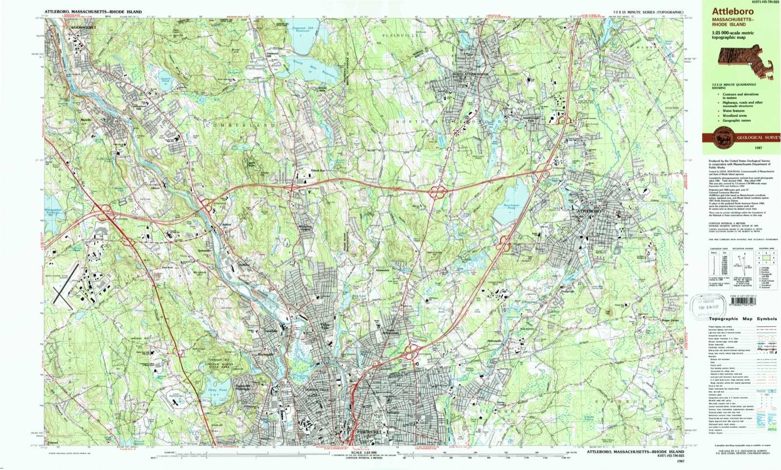
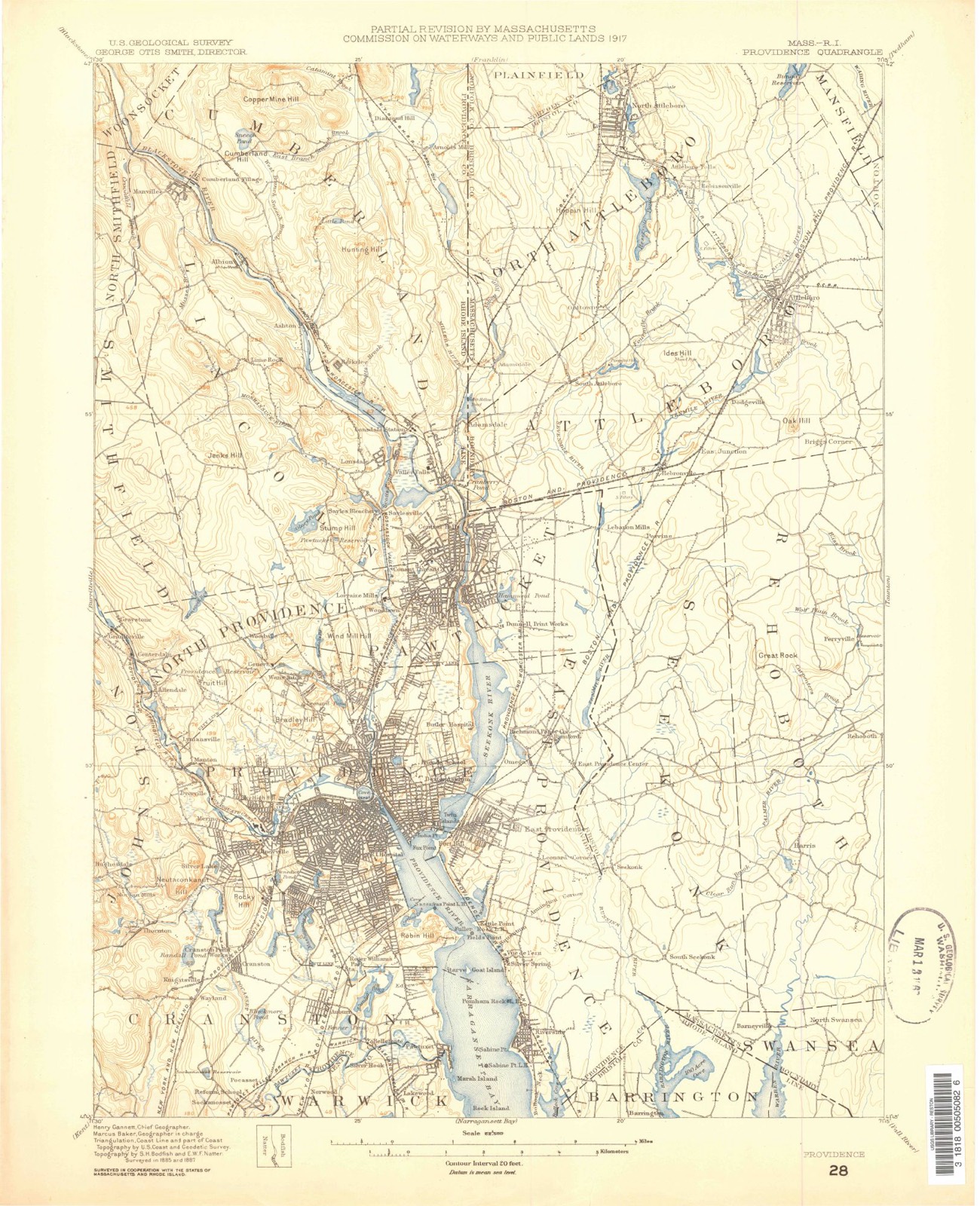
Topographic sheets covering this place
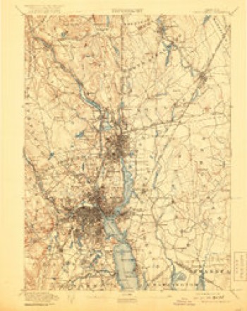
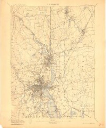
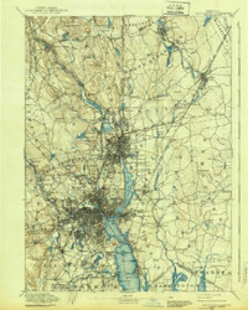
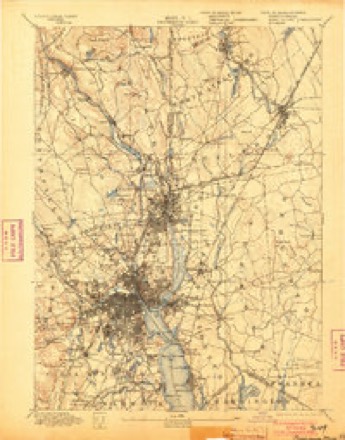
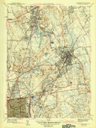
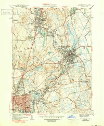
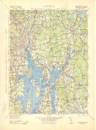
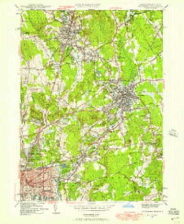
36 sheetsMatched by testing this settlement's coordinate against the published boundary of every sheet in the United States Geological Survey's historical collection. Each opens the scanned sheet at the Survey.
- 1887 USGS Providence quadrangle1:62500
- 1889 USGS Providence quadrangle1:62500
- 1894 USGS Providence quadrangle1:62500
- 1894 USGS Providence quadrangle1:62500
- 1894 USGS Providence quadrangle1:62500
- 1894 USGS Providence quadrangle1:62500
- 1894 USGS Providence quadrangle1:62500
- 1894 USGS Providence quadrangle1:62500
- 1894 USGS Providence quadrangle1:62500
- 1894 USGS Providence quadrangle1:62500
- 1894 USGS Providence quadrangle1:62500
- 1894 USGS Providence quadrangle1:62500
- 1921 USGS Providence quadrangle1:62500
- 1943 USGS Attleboro quadrangle1:31680
- 1943 USGS Attleboro quadrangle1:31680
- 1943 USGS Attleboro quadrangle1:31680
- 1943 USGS Providence quadrangle1:125000
- 1947 USGS Providence quadrangle1:250000
- 1947 USGS Providence quadrangle1:250000
- 1947 USGS Providence quadrangle1:250000
- 1947 USGS Providence quadrangle1:250000
- 1947 USGS Providence quadrangle1:250000
- 1948 USGS Providence quadrangle1:250000
- 1949 USGS Attleboro quadrangle1:24000
- 1957 USGS Providence quadrangle1:250000
- 1958 USGS Providence quadrangle1:250000
- 1963 USGS Providence quadrangle1:250000
- 1964 USGS Attleboro quadrangle1:24000
- 1964 USGS Attleboro quadrangle1:24000
- 1964 USGS Attleboro quadrangle1:24000
- 1964 USGS Attleboro quadrangle1:25000
- 1977 USGS Attleboro quadrangle1:25000
- 1979 USGS Providence quadrangle1:50000
- 1984 USGS Providence quadrangle1:100000
- 1987 USGS Attleboro quadrangle1:25000
- 1987 USGS Attleboro quadrangle1:25000









In the county-history sources
2,670 words on this townshipA History of Bristol County, Massachusetts (Vol. 2), published 1924 names this settlement in its chapter on Attleboro City. These are the passages that mention it, exactly as the scans read.
Attleboro has schools of a high order, parks in which native and visitor take great pride, a library of unusual excellence, progressive hospitals and banking institutions, a public works administration, a hustling newspaper. Attleboro, with its population of 21,000, has a present total valuation of $22,917,800, the Massachusetts income tax law of 1916 having taken considerable personal property out of local assessments. The total estimated appropriations for the departments are over $865,000; the city has a sewer system whose value is placed at $500,000; it has a $175,000 high school; the city's own library was paid for by public subscription: its macadamized streets are particularly well kept; the grade crossings have been eliminated and the work paid for; the Chamber of Commerce and City Planning board are practical working institutions. The manufactured produce turned out here in 1920 was $35,364,707, and the number of people employed in the different industrial establishments was 6,930.
Passage source: A History of Bristol County, Massachusetts (Vol. 2), published 1924.
A bill was filed in the 1914 Legislature by Representative Worrall. desiring that Attleboro be made a city, and a charter was drawn by the legislative committee on cities, headed by Senator William A. Bellamy of Taunton, with Representative George M. Worrall, former Representative Edward A. Sweeney, John J. Coady, Esq., and Charles C. Cain, Jr. The Legislature passed the bill, and Governor David I. Walsh signed the law, June 17, 1914, in which the old name of Attleborough was changed to the present form. In Attleboro the city charter was accepted November 3, 1914, by a vote of 1581 to 784. Hon. Harold E. Sweet was elected the city's first executive, his opponent being J. H. Leedham, Jr., and the result of the vote being 2,326 to 804. Former Town Clerk Frank I. Babcock, Esq., was elected city clerk and treasurer; Charles R. Manchester was elected city collector, and the first city councillors were: At large, Philip E. Brady, Stephen H. Foley, Harry P. Kent, William H. Saart, Charles O. Sweet, Oscar Wolfenden; by wards, William H. Garner, William A. Spier, S. B. Jacobs, Samuel M. Holman, Joseph E. Gaynor. In 1917, Mayor Sweet was reélected without opposition, receiving 1933 votes. In 1918 Hon. Philip E. Brady was elected mayor over Samuel M. Holman, the result of the vote being 1123 to 1013, with 134 votes for G. M. Gustin. Mayor Brady was reélected in 1921. The total vote cast for Mayor Brady upon his reélection was 1662. His opponents and total votes cast for them: William H. Saart, 1362; George A. Sweeney, 1370; Samuel M. Holman, 851; Eliza G. Daggett, 84. Hon. George A. Sweeney was elected third mayor of the city, beginning with the year 1923. Total number of votes cast for Mayor Sweeney, 1893; for other candidates: Harlan A. Allen, 1454; Philip E. Brady, 1433; William H. Saart 1041.
Passage source: A History of Bristol County, Massachusetts (Vol. 2), published 1924.
The final reports submitted for the town of Attleboro were those for the year ending December 13, 1914, the last selectmen of the town being Millard F. Ashley, chairman; James W. Orr, James H. Leedham, and W. J. Newman, clerk of the board. Frank I. Babcock, Esq., was town clerk; Charles E. Wilbur, chief of police; Lewis A. Fales, superintendent of schools. Upon the establishment of the city in 1915, the population was 18,840, the total valuation of the community was $22,345,995 - real estate $13,835,145; personal $8,510,850.
Passage source: A History of Bristol County, Massachusetts (Vol. 2), published 1924.
Machine-read from a century-old scan, so expect the errors a machine makes: misspelled names, dropped words, stray characters.
Read the whole chapter on Attleboro City - it names this place 8 more 8 times.
Photographs
1 photograph,Taken for the Office of War Information and the Farm Security Administration, who photographed the country between 1935 and 1944. Works of United States government photographers, with no known restriction on use. Each opens its catalogue record.
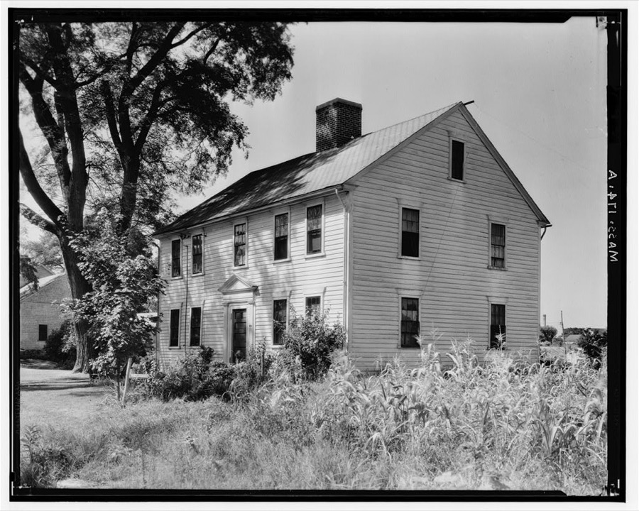
Unattributed, . Library of Congress
Fires near this place
33 since 2015Regional context, not property-specific evidence. The federal wildfire occurrence database lists 33 fires within 5 miles of Attleboro between 2015 and 2020, burning about 44 acres in total. None started naturally. 1 was recorded as arson. Distance is straight-line from the map coordinates, so a fire counted here may appear on a neighbouring settlement's page as well.
| Reported cause | Fires |
|---|---|
| Missing data/not specified/undetermined | 15 |
| Recreation and ceremony | 8 |
| Misuse of fire by a minor | 4 |
| Debris and open burning | 2 |
| Smoking | 2 |
| Arson/incendiarism | 1 |
| Equipment and vehicle use | 1 |
The most recent of them, most recent first, with the day each was reported and the service that recorded it.
| Date | Cause | Size | Reported by | Name on the report |
|---|---|---|---|---|
| 23 September 2015 | Recreation and ceremony | under an acre | Massachusetts Bureau of Forest Fire Control | PLAINVILLE |
| 21 September 2017 | Missing data/not specified/undetermined | under an acre | Massachusetts Bureau of Forest Fire Control | not named |
| 12 September 2017 | Recreation and ceremony | under an acre | Massachusetts Bureau of Forest Fire Control | PLAINVILLE |
| 9 August 2016 | Misuse of fire by a minor | under an acre | Massachusetts Bureau of Forest Fire Control | not named |
| 9 August 2016 | Missing data/not specified/undetermined | under an acre | Massachusetts Bureau of Forest Fire Control | not named |
| 11 August 2020 | Debris and open burning | under an acre | Massachusetts Bureau of Forest Fire Control | not named |
| 15 July 2015 | Missing data/not specified/undetermined | 1.8 acres | Massachusetts Bureau of Forest Fire Control | not named |
| 6 June 2015 | Recreation and ceremony | 2.0 acres | Massachusetts Bureau of Forest Fire Control | PLAINVILLE |
Settlements close enough to share some of these fires:
Specimens collected near this place
12 of 672 shownRegional context, not property-specific evidence. Museums hold 672 specimens collected within 10 miles of Attleboro between 1844 and 1975: 339 Plantae, 266 Animalia, 67 Fungi. 12 distinct Species records are shown. Collected by ?, A. A. Eaton, A. E. Sears and others. Each is a physical object with a catalogue number, and each entry opens the museum's record. This is what was collected and kept, not a survey of what lives here - nothing can be concluded from a species being absent.
| Image | Species | Year | Collected by | Where, as recorded |
|---|---|---|---|---|
 | Calla palustris L. | 1844 | Thurber, G. | |
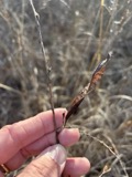 | Chamaecrista fasciculata (Michx.) Greene | 1846 | not recorded | |
 | Apocynum cannabinum L. | 1855 | F. C. Seymour | Rehoboth |
 | Coreopsis rosea Nutt. | 1871 | T. C. Porter | |
 | Solidago elliottii Torr. & A.Gray | 1871 | Congdon, J.W. | East Providence |
 | Solidago latissimifolia Mill. | 1871 | J. W. Congdon | Seekonk. |
 | Hypoxis hirsuta (L.) Coville | 1874 | not recorded | |
 | Carex crinita Lam. | 1876 | Miller, J. | Blackstone Park |
 | Empidonax minimus (W.M.Baird & S.F.Baird, 1843) | 1877 | C.P. Snow | Taunton, North |
 | Alopecurus geniculatus L. | 1878 | Congdon, J.W. | East Providence |
 | Amaranthus spinosus L. | 1878 | not recorded | |
 | Aster longifolius Desf., 1829 | 1878 | Congdon, J.W. | East Providence |
All 672 specimens within 10 miles, at the Global Biodiversity Information Facility.
Mines and quarries near this place
10 of 17 shownRegional context, not property-specific evidence. The federal mineral resources record lists 17 workings within 5 miles of Attleboro: 13 past producers, 4 producers. 4 still produce. What was taken out: Sand and Gravel, Construction, Gold, PGE, Silver. Distance is straight-line from the map coordinates, so a quarry counted here may appear on a neighbouring settlement's page as well.
| Where | Site | Commodity | Status | Recorded |
|---|---|---|---|---|
| Glines & Rhodes Refin.--Plainville | Gold, PGE, Silver | Past Producer | ||
| Adamsdale Mine | Sand and Gravel, Construction | Producer | ||
| Allen R. Nelson Pit | Sand and Gravel, Construction | Past Producer | ||
| Boro Sand and Stone Inc | Sand and Gravel, Construction | Past Producer | Sedimentary | |
| Boro Sand and Stone, Inc. Pit | Sand and Gravel, Construction | Producer | ||
| Courtois Sand and Gravel Co | Sand and Gravel, Construction | Past Producer | Sedimentary | |
| Del Soullier Pit | Sand and Gravel, Construction | Past Producer | ||
| Del Soullier and Sons | Sand and Gravel, Construction | Past Producer | Sedimentary | |
| Dorrance Inc | Sand and Gravel, Construction | Past Producer | Sedimentary | |
| Gary Nelson Excavating Co | Sand and Gravel, Construction | Past Producer | Sedimentary |
Storms near this place
50 since 1997Regional context, not property-specific evidence. The National Weather Service names Attleboro in 50 storm reports between 1997 and 2023: 21 thunderstorm wind, 13 flood, 6 flash flood, 6 hail. The reports record 2 injuries. Each account below is quoted exactly as the forecast office filed it, from the NOAA Storm Events Database, and each date opens the federal record of that event.
| When | Event | Place named | Harm | What the report says |
|---|---|---|---|---|
| March 2010 | Flood | North Attleboro | 2 hurt, $23,580,000 | Four to eight inches of rain fell across Bristol County resulting in several small streams rising above flood stage, including the Mill River in Taunton, the Canoe River at Norton, the Wading River at Norton, and the Segregansett River at Dighton, all of which set records.||Basements flooded in Taunton, North Attleboro, Attleboro, Norton, Mansfield, and Acushnet. Numerous streets were closed due to flooding in Taunton, Fall River, Dartmouth, Norton, Dighton, Raynham, Somerset, North Attleboro, Attleboro, Freetown, Westport, Berkley, Mansfield, Rehoboth, and Swansea, including Route 6 in Westport, Interstate 195 at Exit 3 in Swansea, Route 24 in Dartmouth, and Route 140 in Freetown (exit 8). The North Attleboro Town Hall sustained $350,000 worth of damage from flooding and Richards Memorial Library was closed for several weeks after the basement was flooded with water and sewage. A pond at Capron Park Zoo in Attleboro overflowed, threatening zoo buildings. It was able to be pumped out, keeping water out of most of the buildings. One building was flooded with two feet of water, damaging boxes of gift shop items and supplies.||Route 44 on the Taunton/Raynham line was closed for the second time in a month due to flooding from the Taunton River. An amphibious vehicle from the Boston Duck Tours was called into service to ferry residents from isolated neighborhoods to nearby supermarkets and pharmacies.||One bridge (Wheeler Street) was destroyed and three others damaged in Rehoboth when the Palmer River flooded. Portions of two of the damaged bridges (Danforth and Elm Streets) were undermined and washed away and the Summer Street bridge sustained structural damage. Two people were rescued when they fell into the Palmer River while trying to rescue their dog. They were transported to Rhode Island Hospital.||Sixteen year round residents at the Canoe River Camp Ground in Mansfield were evacuated. Three apartment buildings on Riverbank Road in Attleboro were completely surrounded by water overflowing from the Ten Mile River. The Seven Mile River in South Attleboro overflowed its banks, flooding Pitas Avenue, isolating twenty homes. Six structures in North Attleboro were evacuated because of flooding.||In hard-hit Fall River: Numerous roads were flooded, including Columbia Street and Mount Hope Avenue. Storm water overwhelmed storm drains, blowing out of the manholes with such force that it ripped up pavement, gravel, and utilities. Twenty nine homes lost power and gas service when the utilities were ripped up. Bricks from sidewalks along Columbia Street floated down Canal and Columbia Streets, collecting in piles on Broadway and Anawan Street. Doran Elementary School was flooded and the sewage treatment plant became overwhelmed with flood waters. A vehicle became stuck in floodwaters, trapping the occupants. Railroad tracks were under water at Interstate 195 and at Route 6. The southbound lanes of Route 24 were closed from President Avenue to Route 195. A 25 foot wide sinkhole developed on Jackson Street. At least 300 people were evacuated from their homes. The mayor declared a state of emergency.||In Freetown: 85 school-children were taken to a shelter after flooding made it impossible for buses to take them home. The Assonet Bay Shores neighborhood (home to about 1000 people) was cutoff to regular traffic by floodwaters and the collapse of a Narrows Road/Causeway Road bridge. Eleven students at the Crystal Springs School (a learning center for children and adults with learning disabilities) were stuck at the school for an evening after the bridge collapsed. They were able to be transported back to the main part of the city when two mountain rescue vehicles owned by the state police were dispatched. The vehicles remained in place for several days to transport residents between the neighborhood and the rest of the city. A bridge 20 yards downstream from the Forge Pond Dam crumbled, leaving a four foot gap in Forge Road. Fifteen households in Assonet Village were evacuated as Forge Pond continued to rise. Schools were closed early Tuesday, March 30 and for the day Wednesday, March 31 due to flooding. ||There were three minor house fires in Mansfield that were the result of floodwaters reaching burners and electrical panels in basements. |
| March 2010 | Flood | Attleboro | $11,790,000 | Several small streams rose above flood stage in Bristol County, including the Wading River at Norton, the Mill River at Taunton, and the Segregansett River at Dighton.||Collections at the Attleboro Arts Museum were damaged by flood waters. River Bank Road in Attleboro and Franklin Avenue in North Attleboro were flooded by the Ten Mile River. Several other roads in Attleboro and Norton were flooded. Several basements in North Attleboro were flooded. Portions of Route 44 and Dean Streets on the Taunton/Raynham line were closed for several days after becoming flooded with several feet of water. Several other streets in Taunton were closed due to flooding. The Wilson Road causeway in Fall River also was closed. ||In Freetown, three families were evacuated after Long Pond overflowed its banks, threatening the homes. Two homes in Taunton were evacuated. |
| February 2016 | Thunderstorm Wind | North Attleboro | $15,000 | Multiple wires were downed throughout North Attleboro. A tree and wires on Wilmarth Street in Attleboro were downed by thunderstorm winds. |
| August 2006 | Thunderstorm Wind | Attleboro | $10,000 | no account filed |
| September 2023 | Tornado (EF0) | North Attleboro | $5,000 | An EF-0 with maximum winds of 75 mph briefly touched down in a|rural area of North Attleborough on Ellis Road which caused tree|damage south of High Street. The tree damage was limited to the|tops of three trees having been twisted off and lofted into nearby|pasture. After speaking with the homeowners they described seeing|the sheets of rain change direction before seeking shelter in|their basement. The tree damage along the path was consistent with|wind speeds between 65 and 75 mph, resulting an EF-0 rating on |the Enhanced Fujita Scale. |
| September 2018 | Flood | Attleboro | $5,000 | At 12:37 PM, heavy rain caused street flooding at the intersection of Peck Street and North Main Street in Attleboro. A car was trapped in the floodwaters. |
| February 2016 | Thunderstorm Wind | Attleboro | $5,000 | A tree and wires on Chartley Brook Lane were downed by thunderstorm winds. |
| August 2016 | Thunderstorm Wind | North Attleboro | $5,000 | A large tree on Anawan Road was downed by thunderstorm winds. |
| July 2013 | Lightning | North Attleboro | $5,000 | Lightning struck a house on Elmwood Street, igniting a fire. The house sustained minor damage. |
| August 2012 | Flood | Attleboro | $5,000 | Pleasant and Forest Streets were flooded. A car was stuck in one foot of water on Forest Street. |
| August 2016 | Thunderstorm Wind | Attleboro | $3,000 | A tree branch was downed onto wires on Gaywood Avenue by thunderstorm winds. |
| June 2011 | Thunderstorm Wind | Attleboro | $3,000 | A tree on Turner Street was downed by thunderstorm winds. |
| July 2008 | Thunderstorm Wind | North Attleboro | $3,000 | Trees and wires on Paine Road were downed by thunderstorm winds. |
| August 2019 | Thunderstorm Wind | Attleboro | $2,000 | In Attleboro, a tree was down on a house on Smith Street. A tree was down on Maple Street near Brookhaven Street. A tree was down on James Court. Trees and wires were down on Parker Street. |
| September 2023 | Thunderstorm Wind | North Attleboro | $1,000 | In North Attleboro, there were trees down on wires on Jefferson St. |
| June 2020 | Thunderstorm Wind | North Attleboro | $1,000 | In North Attleboro, multiple trees were down on High Street. |
| July 2023 | Thunderstorm Wind | Attleboro | $800 | In Attleboro, a tree was down on wires on Berwick Rd. |
| August 2023 | Thunderstorm Wind | Attleboro | $800 | In Attleborough, a tree and wires were down. |
| August 2019 | Thunderstorm Wind | North Attleboro | $800 | In North Attleborough, a tree was down on High Street and a tree was down on wires on Ash Street. |
| July 2023 | Thunderstorm Wind | North Attleboro | $500 | In North Attleboro, there was a tree down on Rt. 1 South. |
| July 2023 | Thunderstorm Wind | Attleboro | $500 | In Attleboro, a tree was down on wires near Mechanic St. |
| August 2023 | Thunderstorm Wind | Attleboro | $500 | In Attleborough, a tree was down blocking the road. |
| November 2020 | Thunderstorm Wind | Attleboro | $500 | In Attleboro, a tree was down on Willard Road where it becomes Haggerty Highway. |
| September 2023 | Flood | North Attleboro | - | In Plainville, the exterior of a home was flooded on Old Farm Rd. |
| September 2023 | Flood | North Attleboro | - | In North Attleboro, there was a car stuck in flood waters on East St. |
| September 2023 | Flash Flood | North Attleboro | - | In North Attleboro, multiple apartments were flooded on Chestnut St. |
| July 2023 | Flash Flood | North Attleboro | - | In North Attleborough, Chestnut St was closed due to flooding with cars stuck in the road. |
| July 2023 | Flash Flood | South Attleboro | - | In Attleboro there was significant street flooding at the intersection of Newport Ave and Irving Ave. |
| September 2022 | Heavy Rain | Attleboro | - | In Attleboro, a 24 hour rainfall total of 5.37 inches was reported. |
| December 2020 | Flood | South Attleboro | - | In Attleboro at 1152 AM EST, a section of Collins Street was flooded and impassable. |
| June 2020 | Flood | North Attleboro | - | In North Attleboro, a spotter reported flooding on Route 1A, which resulted from 1.5 inches of rain in 15 minutes. |
| June 2019 | Hail | North Attleboro | - | At 3:05 PM EST, an amateur radio operator reported 1-inch diameter hail in North Attleborough. At 3:10 PM EST, a member of the general public reported 1.5-inch diameter hail in North Attleborough. At 3:19 PM EST, an amateur radio operator in Attleboro reported 1 inch diameter hail. |
| August 2019 | Flood | Attleboro | - | In Attleboro, Forest Street at Field Road by flooded and impassable for a time. |
| October 2017 | Flood | Attleboro | - | Flooding in Attleboro occurred on Forest Street at the railroad underpass. |
| October 2015 | Flood | Attleboro | - | Forest Street was closed due to flooding. |
| August 2012 | Flash Flood | South Attleboro | - | Route 1A was flooded over the curbs. |
| July 2012 | Hail | Attleboro | - | Nickel to quarter size hail fell in Attleboro. |
| May 2011 | Hail | Attleboro | - | Penny size hail covered the ground. |
| April 2010 | Flood | North Attleboro | - | Four to eight inches of rain fell across Bristol County resulting in several small streams rising above flood stage, including the Mill River in Taunton, the Canoe River at Norton, the Wading River at Norton, and the Segregansett River at Dighton, all of which set records.||Basements flooded in Taunton, North Attleboro, Attleboro, Norton, Mansfield, and Acushnet. Numerous streets were closed due to flooding in Taunton, Fall River, Dartmouth, Norton, Dighton, Raynham, Somerset, North Attleboro, Attleboro, Freetown, Westport, Berkley, Mansfield, Rehoboth, and Swansea, including Route 6 in Westport, Interstate 195 at Exit 3 in Swansea, Route 24 in Dartmouth, and Route 140 in Freetown (exit 8). The North Attleboro Town Hall sustained $350,000 worth of damage from flooding and Richards Memorial Library was closed for several weeks after the basement was flooded with water and sewage. A pond at Capron Park Zoo in Attleboro overflowed, threatening zoo buildings. It was able to be pumped out, keeping water out of most of the buildings. One building was flooded with two feet of water, damaging boxes of gift shop items and supplies.||Route 44 on the Taunton/Raynham line was closed for the second time in a month due to flooding from the Taunton River. An amphibious vehicle from the Boston Duck Tours was called into service to ferry residents from isolated neighborhoods to nearby supermarkets and pharmacies.||One bridge (Wheeler Street) was destroyed and three others damaged in Rehoboth when the Palmer River flooded. Portions of two of the damaged bridges (Danforth and Elm Streets) were undermined and washed away and the Summer Street bridge sustained structural damage. Two people were rescued when they fell into the Palmer River while trying to rescue their dog. They were transported to Rhode Island Hospital.||Sixteen year round residents at the Canoe River Camp Ground in Mansfield were evacuated. Three apartment buildings on Riverbank Road in Attleboro were completely surrounded by water overflowing from the Ten Mile River. The Seven Mile River in South Attleboro overflowed its banks, flooding Pitas Avenue, isolating twenty homes. Six structures in North Attleboro were evacuated because of flooding.||In hard-hit Fall River: Numerous roads were flooded, including Columbia Street and Mount Hope Avenue. Storm water overwhelmed storm drains, blowing out of the manholes with such force that it ripped up pavement, gravel, and utilities. Twenty nine homes lost power and gas service when the utilities were ripped up. Bricks from sidewalks along Columbia Street floated down Canal and Columbia Streets, collecting in piles on Broadway and Anawan Street. Doran Elementary School was flooded and the sewage treatment plant became overwhelmed with flood waters. A vehicle became stuck in floodwaters, trapping the occupants. Railroad tracks were under water at Interstate 195 and at Route 6. The southbound lanes of Route 24 were closed from President Avenue to Route 195. A 25 foot wide sinkhole developed on Jackson Street. At least 300 people were evacuated from their homes. The mayor declared a state of emergency.||In Freetown: 85 school-children were taken to a shelter after flooding made it impossible for buses to take them home. The Assonet Bay Shores neighborhood (home to about 1000 people) was cutoff to regular traffic by floodwaters and the collapse of a Narrows Road/Causeway Road bridge. Eleven students at the Crystal Springs School (a learning center for children and adults with learning disabilities) were stuck at the school for an evening after the bridge collapsed. They were able to be transported back to the main part of the city when two mountain rescue vehicles owned by the state police were dispatched. The vehicles remained in place for several days to transport residents between the neighborhood and the rest of the city. A bridge 20 yards downstream from the Forge Pond Dam crumbled, leaving a four foot gap in Forge Road. Fifteen households in Assonet Village were evacuated as Forge Pond continued to rise. Schools were closed early Tuesday, March 30 and for the day Wednesday, March 31 due to flooding. ||There were three minor house fires in Mansfield that were the result of floodwaters reaching burners and electrical panels in basements.||Damage amounts can be found in the March Storm Data when most of the damage occurred. Rivers and small streams remained in flood into April. |
| February 2008 | Flood | North Attleboro | - | Chestnut Street was closed at East Street because of flooding. |
| June 2008 | Flash Flood | North Attleboro | - | Many locations in North Attleborough were flooded as one inch of rain fell within 20 minutes. Streets that were flooded include Route 1A across from Dunkin Donuts, Route 1 at Elm Street, Chestnut Street, and Commonwealth Avenue. |
| June 2007 | Thunderstorm Wind | Attleboro | - | Microburst occurred on the Stone-E-Lea Golf Course in Attleboro. Approximately 50 trees were downed on the course. |
| August 2007 | Thunderstorm Wind | Attleboro | - | Trees and wires down on Robinson Street. |
| June 1998 | Flash Flood | Attleboro | - | Three Mile River |
| July 2008 | Hail | North Attleboro | - | no account filed |
| June 2006 | Hail | Attleboro | - | no account filed |
| July 2004 | Hail | Attleboro | - | no account filed |
| September 2002 | Heavy Rain | South Attleboro | - | no account filed |
| June 2000 | Thunderstorm Wind | Attleboro | - | no account filed |
| June 1997 | Thunderstorm Wind | Attleboro | - | no account filed |
Nearest settlements
The eight closest, with where each one stands in the county. Distances are straight-line, computed from the Geographic Names Information System coordinates.
| Map | Place | Distance | Sheets |
|---|---|---|---|
| Dodgeville | 1.7 miles | 36 | |
| Attleboro Falls | 2.4 miles | 36 | |
| Camp Herbron | 2.5 miles | 36 | |
| Briggs Corner | 2.6 miles | 36 | |
| East Junction | 2.8 miles | 36 | |
| Chartley | 3.2 miles | 33 | |
| Hebronville | 3.4 miles | 36 | |
| Attleborough City | 3.6 miles | 36 |
Elsewhere
Matched on this settlement's Geographic Names Information System number rather than its name, so it cannot be a different place of the same name in another state.
| Wikipedia article on Attleboro | An encyclopaedic summary. Its text is share-alike, so it is linked here rather than copied. |
| Wikidata item Q1775244 | The structured record the population and elevation above come from. Public domain (CC0). |
Provenance
This settlement is recorded in the Geographic Names Information System as feature 612033. The sheet list is computed by point-in-boundary test against the United States Geological Survey's historical topographic inventory. Both are works of the United States government and carry no copyright under 17 U.S.C. 105.
Wildfire. Short, Karen C. 2022. Spatial wildfire occurrence data for the United States, 1992-2020 [FPA_FOD_20221014]. 6th Edition. Fort Collins, CO: Forest Service Research Data Archive. https://doi.org/10.2737/RDS-2013-0009.6 Collected with United States Government funding and usable without additional permissions or fees.
Specimens. Global Biodiversity Information Facility (GBIF), https://www.gbif.org/. Only records licensed CC0 or CC BY are used. Records licensed CC BY-NC are excluded because this site carries advertising. Images are checked individually and any whose licence is non-commercial, no-derivatives or unreadable is refused.
Mines and quarries. USGS Mineral Resources Data System (MRDS) https://mrdata.usgs.gov/mrds/ A work of the United States government, no copyright under 17 U.S.C. 105.
Storms. NOAA National Centers for Environmental Information, Storm Events Database https://www.ncei.noaa.gov/stormevents/ A work of the United States government, no copyright under 17 U.S.C. 105. Narratives are quoted verbatim from the National Weather Service report and are not edited or summarised.