 Block
Block
Augerburg, Ohio
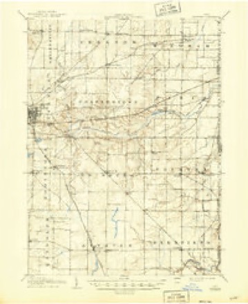
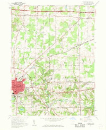
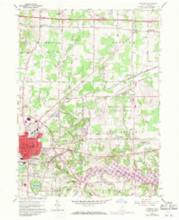
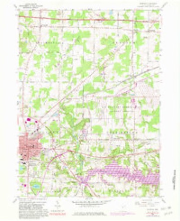
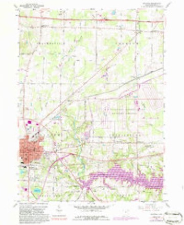
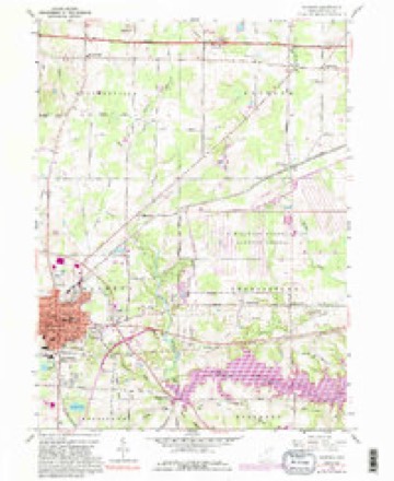
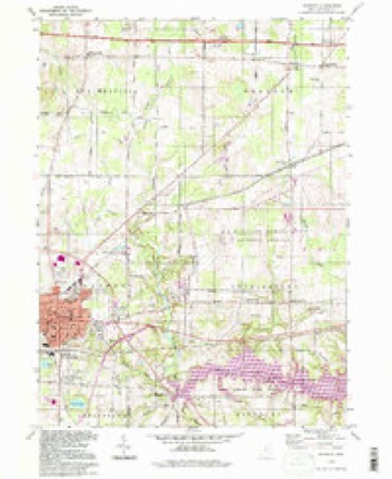
15 topographic sheets cover this place, the earliest surveyed in 1906 and the latest in 1994. It stands in Charlestown Township. It lies in ZIP code area 44266. It stands on Hinkley Creek. The Survey maps it on the Ravenna quadrangle.
Then and now
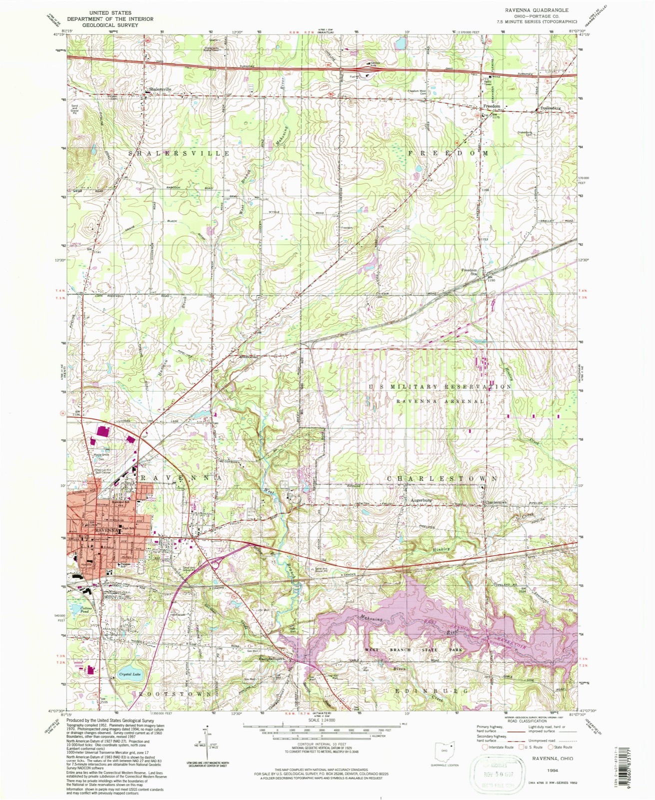
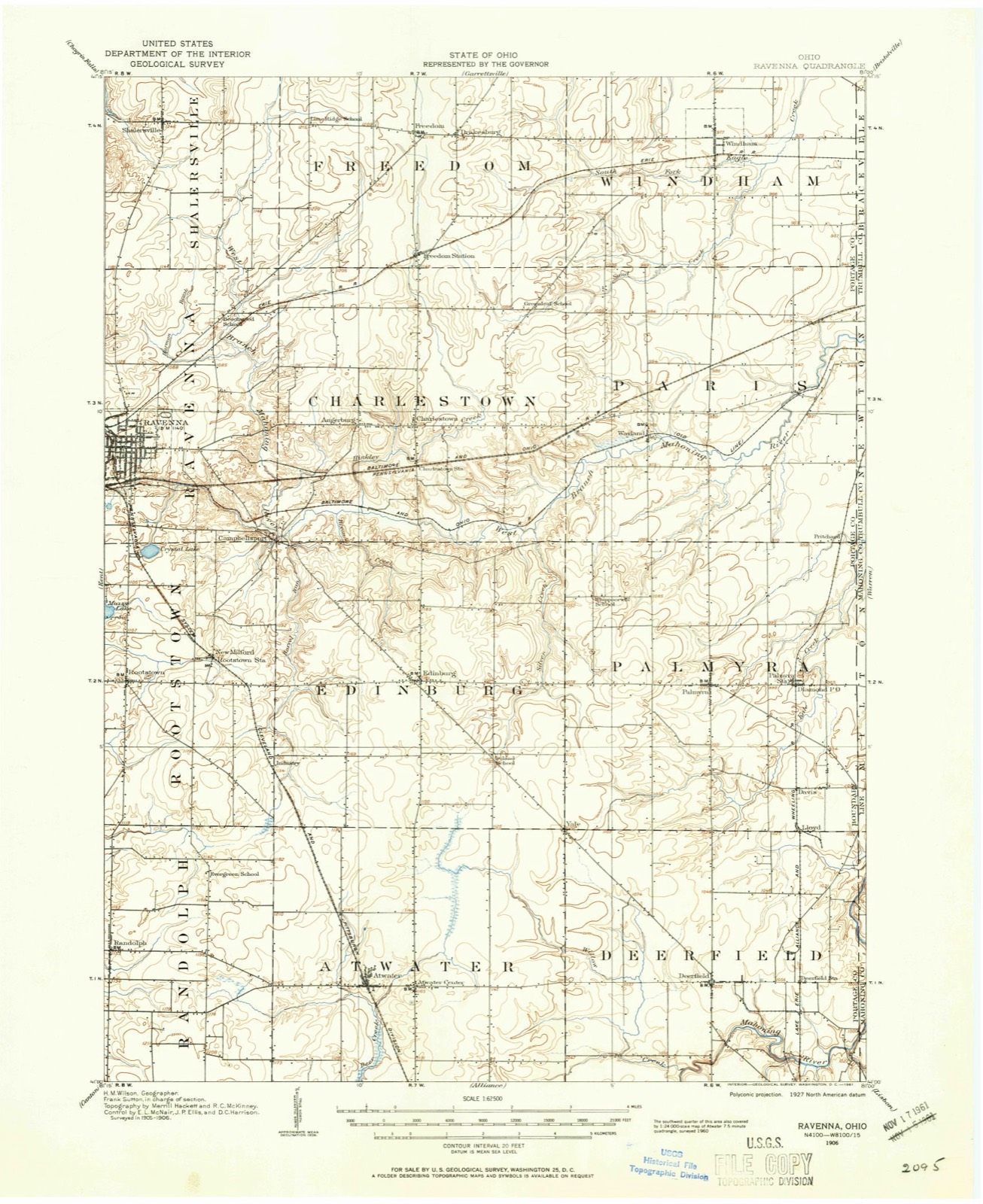
1906 to 1994The same ground, surveyed 88 years apart. Drag the handle to wipe between them. Both sheets are United States Geological Survey originals; neither has been altered.
Compare 1906 against another survey:
Topographic sheets covering this place
15 sheetsMatched by testing this settlement's coordinate against the published boundary of every sheet in the United States Geological Survey's historical collection. Each opens the scanned sheet at the Survey.
- 1906 USGS Ravenna quadrangle1:62500
- 1908 USGS Ravenna quadrangle1:62500
- 1908 USGS Ravenna quadrangle1:62500
- 1956 USGS Cleveland quadrangle1:250000
- 1956 USGS Cleveland quadrangle1:250000
- 1956 USGS Cleveland quadrangle1:250000
- 1960 USGS Ravenna quadrangle1:24000
- 1960 USGS Ravenna quadrangle1:24000
- 1960 USGS Ravenna quadrangle1:24000
- 1960 USGS Ravenna quadrangle1:24000
- 1960 USGS Ravenna quadrangle1:24000
- 1962 USGS Cleveland quadrangle1:250000
- 1986 USGS Cleveland South quadrangle1:100000
- 1994 USGS Cleveland South quadrangle1:100000
- 1994 USGS Ravenna quadrangle1:24000






In the county-history sources
3,320 words on this townshipHistory of Portage County, Ohio, published 1885 names this settlement in its chapter on Charlestown Township. These are the passages that mention it, exactly as the scans read.
The tirst saw-mill was erected by the company that came <5ut before the war, and was located half a mile east of the Center. It did a great deal of sawing for the county seat, as well as for the settlers in Charlestown. The Knapps also built one on the same stream lower down. Smith Hall built one south of the Center, and Capt. Curtiss and Claudius Coe built one north of the Center, but timber becoming scarce, their mills all went down. A steam sawmill was erected by Ezra Stephenson on the land of Sheldon Farnham. Some parties from Connecticut wanted to locate an auger factory at the Center, but not getting sufficient encouragement, went a mile west and put up their works, but it did not pay and was abandoned. The name, Augerburg, is all that remains of the project.
Passage source: History of Portage County, Ohio, published 1885.
Machine-read from a century-old scan, so expect the errors a machine makes: misspelled names, dropped words, stray characters.
Specimens collected near this place
12 of 831 shownRegional context, not property-specific evidence. Museums hold 831 specimens collected within 10 miles of Augerburg between 1880 and 1975: 522 Animalia, 266 Plantae, 37 Fungi, 4 Unrecorded, 1 Protozoa, 1 Bacteria. 12 distinct Species records are shown. Collected by A. D. Huryn, A. F. Clewell, A. Woolman and others. Each is a physical object with a catalogue number, and each entry opens the museum's record. This is what was collected and kept, not a survey of what lives here - nothing can be concluded from a species being absent.
| Image | Species | Year | Collected by | Where, as recorded |
|---|---|---|---|---|
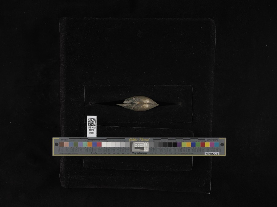 | Pyganodon grandis (Say, 1829) | 1884 | G. Dean | Garretsville |
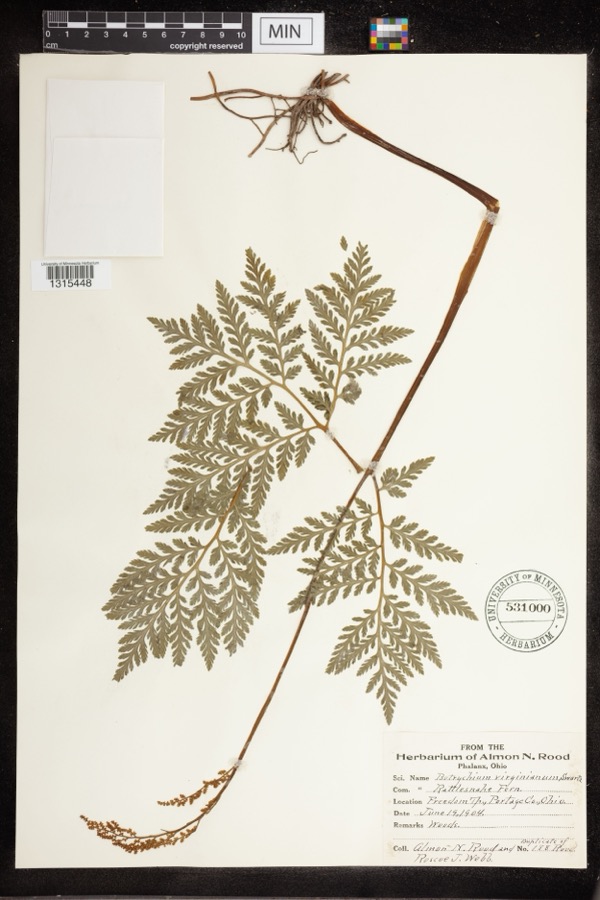 | Botrychium virginianum (L.) Sw. | 1904 | Rood, Almon N.; Roscoe J. Webb | Freedom Twp |
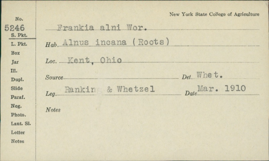 | Frankiella alni (Woronin) Maire & A.Tison | 1910 | Rankin; H.H. Whetzel | |
 | Icterus galbula (Linnaeus, 1758) | 1880 | Collection of R. Spires | Atwater, Near |
 | Colaptes auratus luteus Bangs, 1898 | 1883 | John C. Catlin | Ravenna |
 | Dolichonyx oryzivorus (Linnaeus, 1758) | 1883 | John C. Catlin | Ravenna |
 | Lepidozia reptans (L.) Dumort. | 1884 | Czekaj | |
 | Melanerpes carolinus (Linnaeus, 1758) | 1885 | Collector(s): S. N. Denton | Windham |
 | Glaucomys volans volans (Linnaeus, 1758) | 1889 | C. P. Streator | Ravenna |
 | Ambloplites rupestris (Rafinesque, 1817) | 1893 | A. Woolman | Cuyahoga River, Mantau, Ohio |
 | Ambystoma maculatum (Shaw, 1802) | 1893 | not recorded | Garrettsville |
 | Catostomus commersonii (Lacepède, 1803) | 1893 | A. Woolman | Cuyahoga River, Mantau, Ohio |
All 831 specimens within 10 miles, at the Global Biodiversity Information Facility.
Mines and quarries near this place
4 within 5 milesRegional context, not property-specific evidence. The federal mineral resources record lists 4 workings within 5 miles of Augerburg: 3 past producers, 1 producer. 1 still produces. What was taken out: Sand and Gravel, Construction. Distance is straight-line from the map coordinates, so a quarry counted here may appear on a neighbouring settlement's page as well.
| Where | Site | Commodity | Status | Recorded |
|---|---|---|---|---|
| Charlestown Sand and Gravel, Inc. | Sand and Gravel, Construction | Producer | ||
| Karl Brugmann Sand and Gravel Pit | Sand and Gravel, Construction | Past Producer | Sedimentary | |
| R.A. Cruise Sand and Gravel Pit | Sand and Gravel, Construction | Past Producer | Sedimentary | |
| Twin Lakes Sand and Gravel Pit | Sand and Gravel, Construction | Past Producer | Sedimentary |
Storms near this place
1 since 2025Regional context, not property-specific evidence. The National Weather Service names Augerburg in 1 storm report between 2025 and 2025: 1 flash flood. No death or injury is recorded in these reports. Each account below is quoted exactly as the forecast office filed it, from the NOAA Storm Events Database, and each date opens the federal record of that event.
| When | Event | Place named | Harm | What the report says |
|---|---|---|---|---|
| July 2025 | Flash Flood | Augerburg | - | Seven to eight inches of flowing water over Newton Falls Road between Hanna Road and Knapp Road, which prompted the roadway to be closed. Several inches of flowing water over Garrett Road just north of Crow Trail. Radar estimated around 2.75 to 3.75 inches of rainfall in a 60-90 minute period, which equates to a 200+ year recurrence interval. |
Nearest settlements
The eight closest, with where each one stands in the county. Distances are straight-line, computed from the Geographic Names Information System coordinates.
| Map | Place | Distance | Sheets |
|---|---|---|---|
| Maple Del Manor | 0.4 miles | 15 | |
| Countryside Estates | 1.0 miles | 15 | |
| Charlestown | 1.0 miles | 15 | |
| Fair Acres | 2.1 miles | 15 | |
| Hamlet Park | 2.3 miles | 15 | |
| Campbellsport | 2.5 miles | 15 | |
| Freedom Station | 3.1 miles | 15 | |
| East Davis (historical) | 3.4 miles | 13 |
Elsewhere
Matched on this settlement's Geographic Names Information System number rather than its name, so it cannot be a different place of the same name in another state.
| Wikidata item Q122567819 | The structured record the population and elevation above come from. Public domain (CC0). |
Provenance
This settlement is recorded in the Geographic Names Information System as feature 1064357. The sheet list is computed by point-in-boundary test against the United States Geological Survey's historical topographic inventory. Both are works of the United States government and carry no copyright under 17 U.S.C. 105.
Specimens. Global Biodiversity Information Facility (GBIF), https://www.gbif.org/. Only records licensed CC0 or CC BY are used. Records licensed CC BY-NC are excluded because this site carries advertising. Images are checked individually and any whose licence is non-commercial, no-derivatives or unreadable is refused.
Mines and quarries. USGS Mineral Resources Data System (MRDS) https://mrdata.usgs.gov/mrds/ A work of the United States government, no copyright under 17 U.S.C. 105.
Storms. NOAA National Centers for Environmental Information, Storm Events Database https://www.ncei.noaa.gov/stormevents/ A work of the United States government, no copyright under 17 U.S.C. 105. Narratives are quoted verbatim from the National Weather Service report and are not edited or summarised.