115 topographic sheets and 29 fire insurance
atlases across 4 places.
Research this county
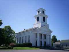
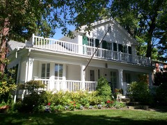
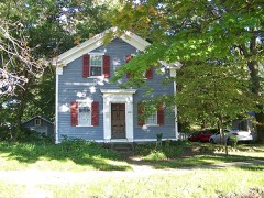
This curated hub for Portage County, Ohio brings together the page's documented record links, visible map or image evidence where published, and routes to related local records.
Use the page's provenance and linked records to distinguish the source material from the site's navigation and summaries.
How should I cite it?
Open the original record, preserve its repository and identifier, then use the citation tool for this page as a path back to the source.
Where should I go next?
Follow the county or state hub for related places and records, then use the guide for a source-aware research sequence.
From the record
42 National Register listings · 57 businesses named in the fire insurance atlases from 1884 to 1950 · the 1885 county history tells 1 stories and names 15 people · people the book names include Hiram Toavnship (Suffield Township, 1885) · Hiram Toavnship (Hiram Township, 1885) (machine-read).
Ohio within the United StatesPortage County within Ohio
Explore by year
What the record shows
4 places in this county were surveyed for fire insurance: Kent, Ravenna, Garrettsville, Mantua, between 1884 and 1950.
29 fire insurance atlas(es) survive for the county. Topographic coverage is national; fire insurance survey reached only incorporated places with something worth insuring.
1,242 topographic sheet readings cover the county's settlements.
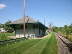
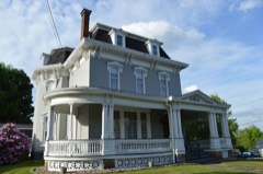
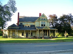
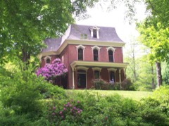
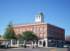
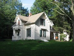
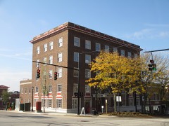
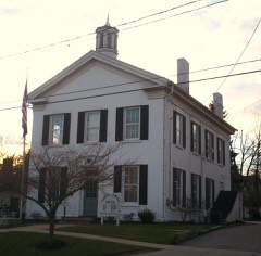
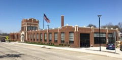
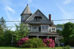
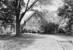
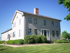
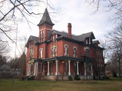
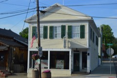
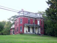
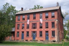
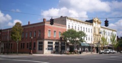
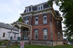
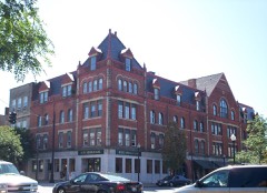
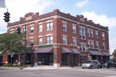
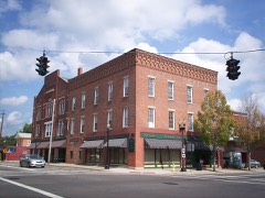
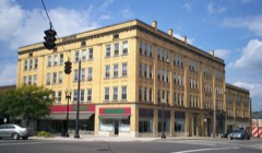
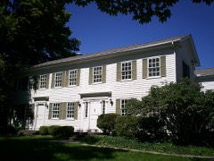
42 properties here are on the National Register of Historic Places, including 21 houses and farms.
20 of the 42 listings were added during the 1970s.
The Geographic Names Information System records 87 populated places in this county; 0 are covered by at least one topographic sheet.
5 public-domain county histories, 1885 to 1927, supply 339,402 words of narrative reproduced here in full.
What happened here
1 accounts
A captivity, a drowning, a famine, a man
scalped clearing his lot in 1789. These are passages from History of Portage County, Ohio, written
while people who remembered the events were still alive, and each one
opens the section it comes from.
1885, Mantua Township
Mantua T0Wk8Hip
Judson's first wife in 1804; Wareham Loomis' child, two years old, in 1805; Jacob Blnir, killed at a " raising" in 1807; Mark Moore died in 1812; Sanjuel Jodsoa's wife in 1813; Ichabod Payne in 1S13; Melissa Keed in 181G; Enoch Jndson's aeoond wife died in 1810; Amzi Atwater, son of ilmzi, Sr., in 1810; Caleb, son of Rnfus Edwarda, aboat 1817; Leona^N], son of L orouz ) Chapin, in 1818; wife of Basil Windsor, Sr., in 1818; Martha, ciau^'ht.
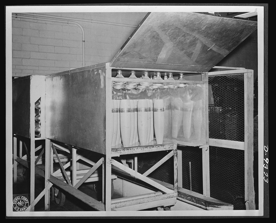
Taken for the Office of War Information and
the Farm Security Administration, who photographed the country between
1935 and 1944. Works of United States government photographers, with no
known restriction on use. Each opens its catalogue record.
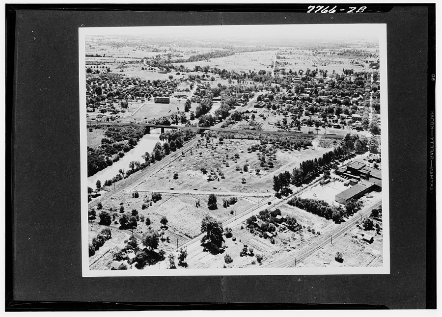
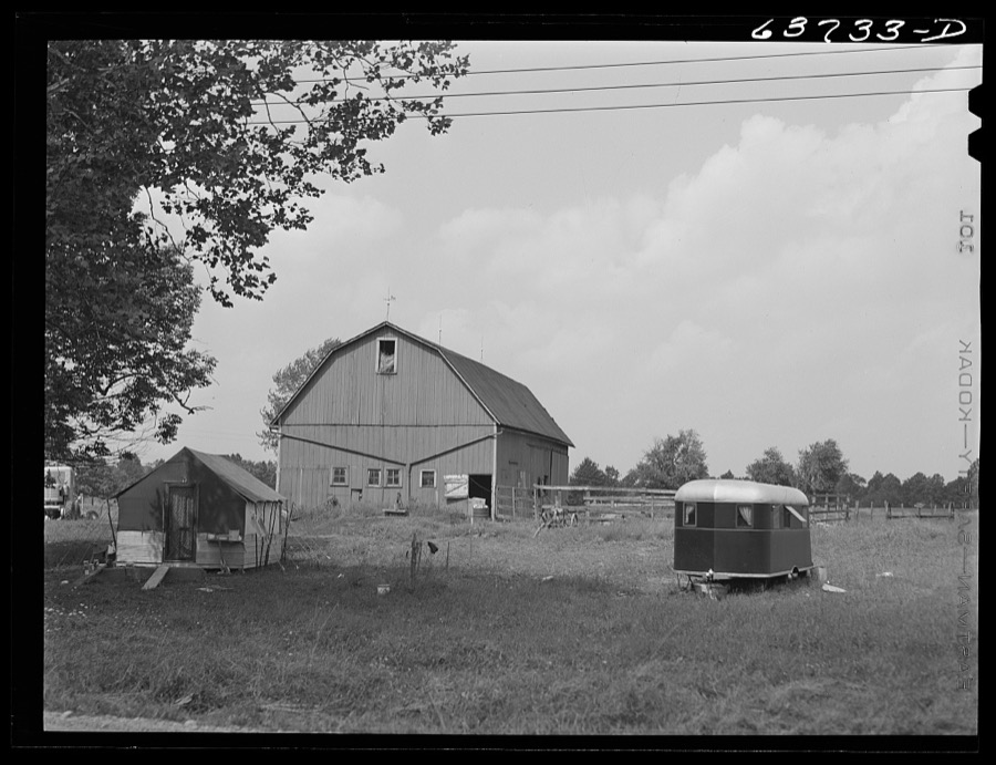
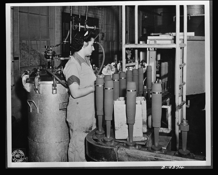
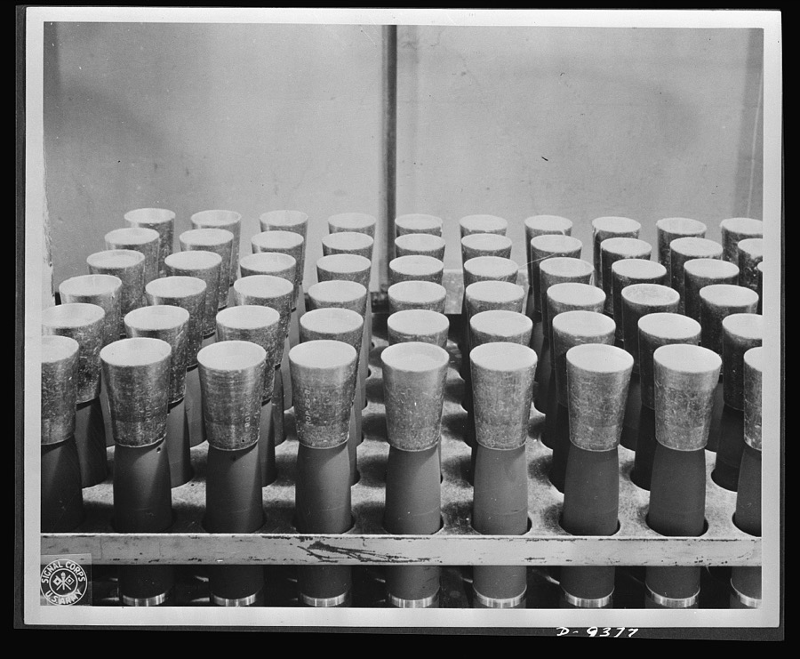
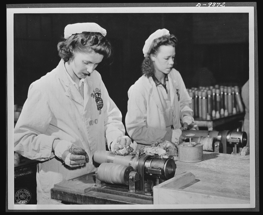
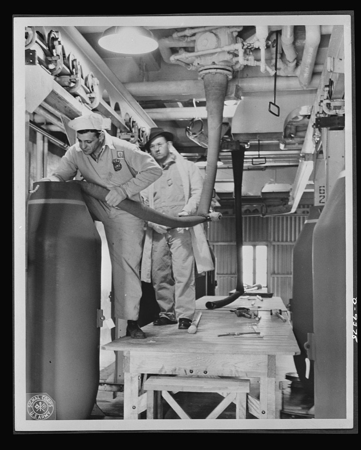
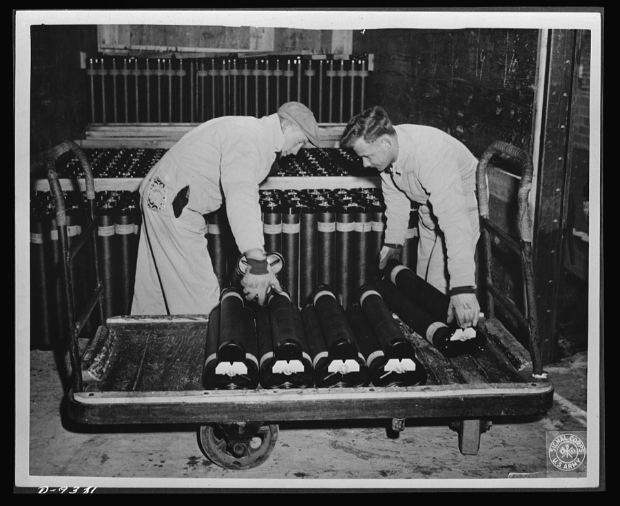
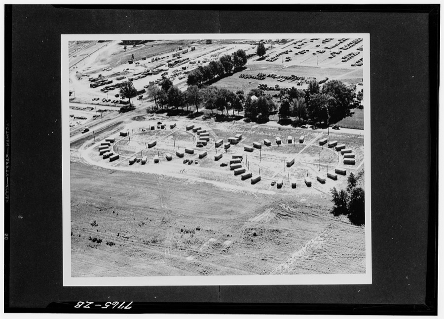
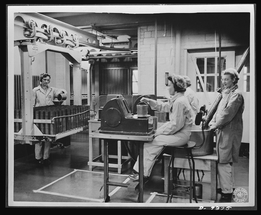
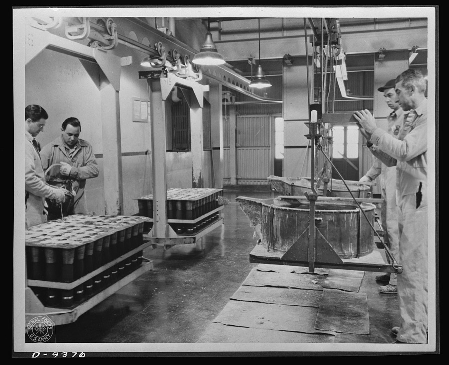
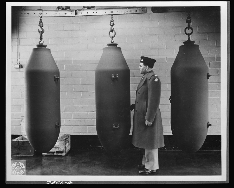
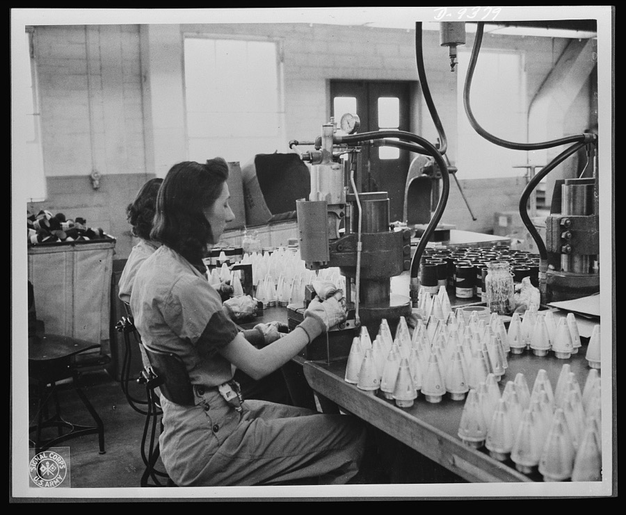
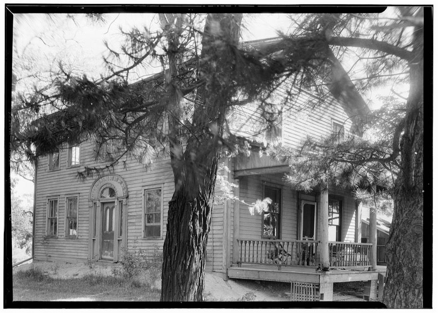
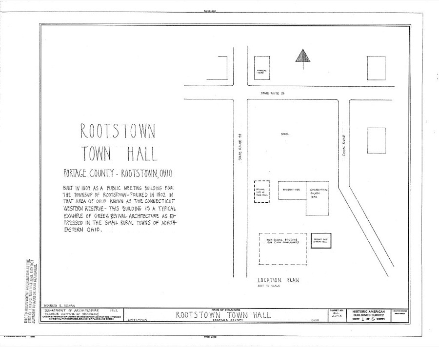
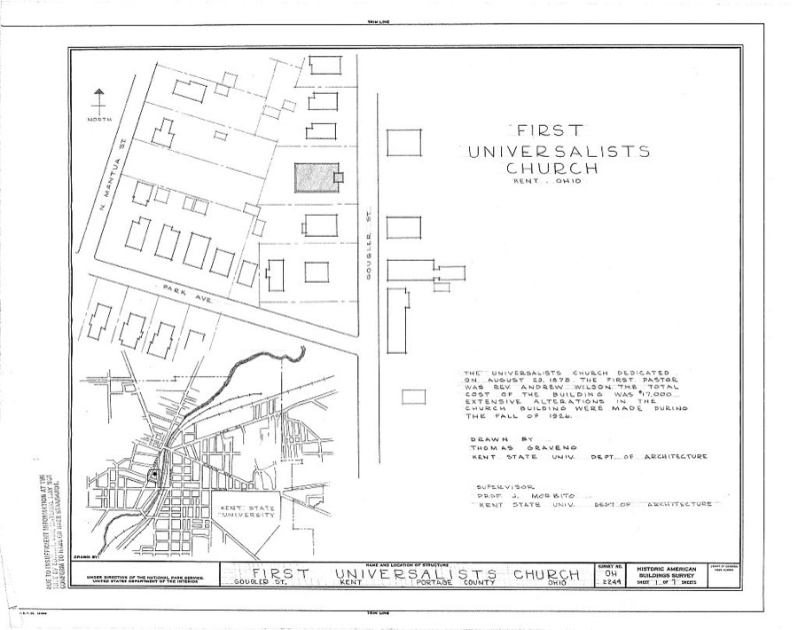
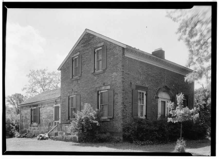
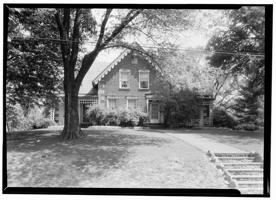
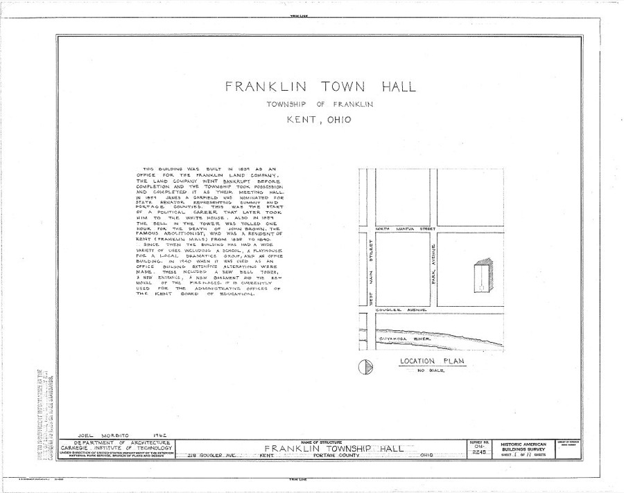
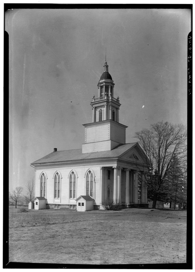
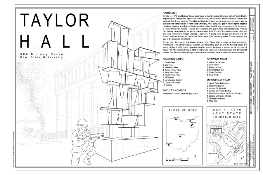
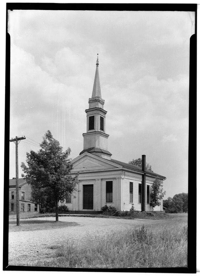
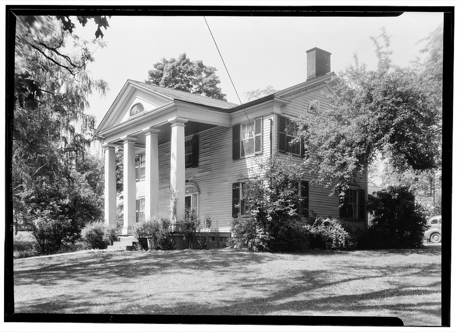
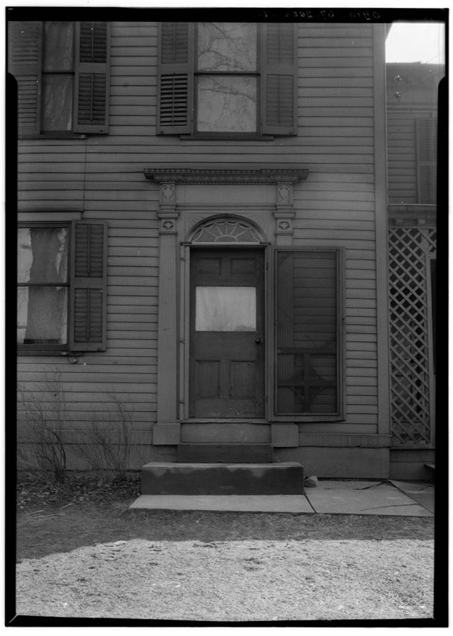
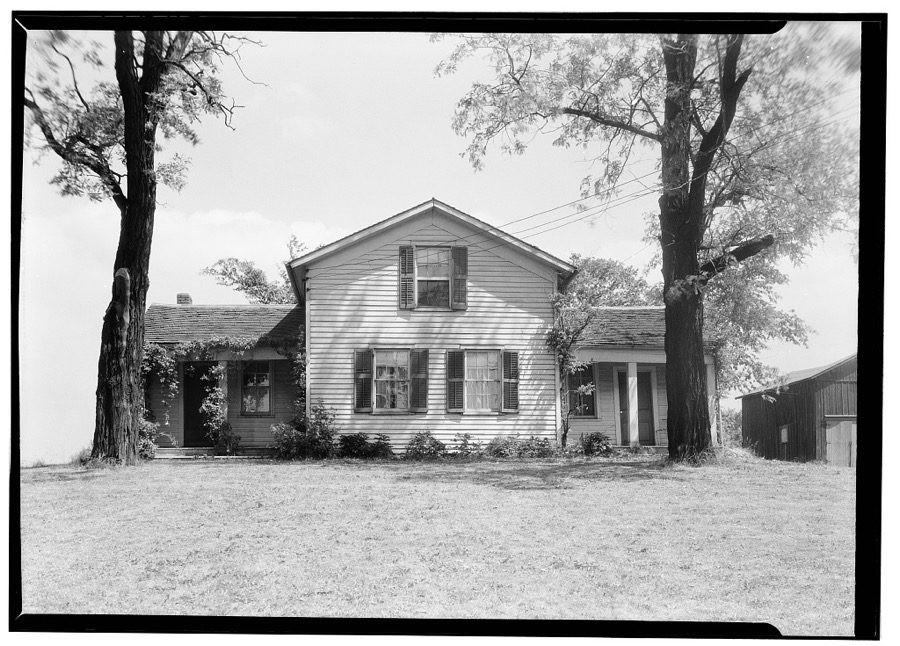
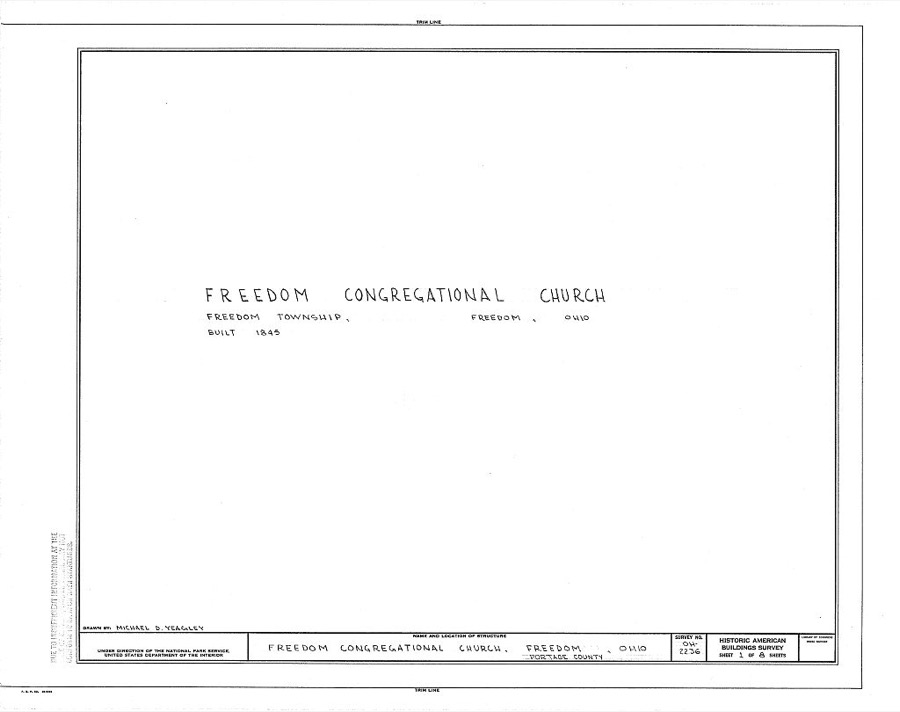
Production. Shell loading. Infra-red rays dry the paint on shells in these compartments at a large Midwest loading plant. The production of shells never stops here, three shifts of workers being spread "round the clock." Ravenna ordnance plant United States. Office of War Information, 1943. Library of CongressRavenna, Ohio. Ravenna ordnance plant (Official U.S. Army photo, Region 3) Picard, Ralph, photographer, 1941. Library of CongressDefense workers' housing in farmyard outside of Ravenna, Ohio, near smokeless powder plant Vachon, John, 1941. Library of CongressProduction. Shell loading. On the "firing line" of a large Midwest loading plant, artillery shells soon to batter the Axis are sprayed with olive drab paint. This women is a sprayer, but women also do the "puddling" of TNT in shells better than men. For "puddling," the stirring and packing of TNT in shells, is done much as a housewife prepares dough for cake. Ravenna ordnance plant United States. Office of War Information, 1943. Library of CongressProduction. Shell loading. TNT is poured into shells through these funnels on a distribution line in a large Midwest loading plant. TNT, used almost exclusively in shells, looks like a good grade of maple sugar. It is believed that soon the United States will use only TNT in bombs also. Ravenna ordnance plant United States. Office of War Information, 1943. Library of CongressProduction. Shell loading. Every shell that goes through a large Midwest loading plant must be thoroughly cleaned. These women are removing excess paint from the bands that circle the projectiles. Women also stencil firing data on the shells and perform many other essential operations. Ravenna ordnance plant United States. Office of War Information, 1943. Library of CongressProduction. Shell loading. Nonchalantly loading a two-ton "block buster" at a large Midwest plant. Every precaution is taken, but a certain stoicism is required for this job. The workmen fill each end of the bomb with TNT, delivered "hot," and the remaining spaces with amatol, a mixture of fifty percent ammonium hydrate and fifty percent TNT. Ravenna ordnance plant United States. Office of War Information, 1943. Library of Congress"Cloverleaf clusters" is the official title for these packages of 105 mm. artillery shells. Delivery lines are speedy at the large Midwest loading plant where they are made. Fourteen 2,000-pound bombs have been removed from a truck and placed in a freight car in fourteen minutes--and four 4,000-pound "block busters" have been moved from truck to freight car in fifteen minutes. Ravenna ordnance plant United States. Office of War Information, 1943. Library of CongressDormitory and utility trailers for workers at the Atlas Powder Company near Ravenna, Ohio Unattributed, 1941. Library of CongressProduction. Shell loading. Weighing the propelling charges of smokeless powder before they are poured into shells at a large Midwest loading plant. This precise work is done mostly by women. Mechanical devices produced in the fuse division enable soldiers in the field to delay or accelerate the explosion of a projectile. Ravenna ordnance plant United States. Office of War Information, 1943. Library of CongressProduction. Shell loading. Molten TNT is poured into 75 mm. shells at a large Midwest loading plant. Shells from 20 mm. to 155 mm. are loaded at this plant in addition to special shells required by the British. Ravenna ordnance plant United States. Office of War Information, 1943. Library of CongressProduction. Shell loading. These 2,000-pound bombs will carry death and destruction to the Axis from a huge shell-loading plant in the Midwest. The arsenal makes even deadlier gifts for Hitler--4,000-pound "block busters" and shells of still greater size. Ravenna ordnance plant United States. Office of War Information, 1943. Library of CongressProduction. Shell loading. These girls are "staking" fuses in the assembly of artillery shells in a large Midwest loading plant. In the manufacture and loading of percussion caps--an operation performed in a large division of the plant--ninety percent of the employees are women. Army officers say the women speed up production. Ravenna ordnance plant United States. Office of War Information, 1943. Library of CongressTreat House, Route 43, Aurora, Portage County, OH Unattributed, . Library of CongressRootstown Town Hall, State Routes 18 & 44, Rootstown, Portage County, OH Unattributed, . Library of CongressFirst Universalist Church, 228 Gougler Street, Kent, Portage County, OH Unattributed, . Library of CongressHopwood House, Egglestone Road, Aurora, Portage County, OH Unattributed, . Library of CongressC. R. Howard House, Route 17, Aurora, Portage County, OH Unattributed, . Library of CongressFranklin Township Hall, 218 Gougler Avenue, Kent, Portage County, OH Unattributed, . Library of CongressCongregational Church, Atwater, Portage County, OH Unattributed, . Library of CongressKent State University, Taylor Hall, Midway Drive, Kent, Portage County, OH Unattributed, . Library of CongressOld Baptist Church, Routes 43 & 14, Streetsboro, Portage County, OH Unattributed, . Library of CongressEmery Root House, Chillicothe Road, Aurora, Portage County, OH Unattributed, . Library of CongressLois Shively House (Entrance Doorway), Deerfield, Portage County, OH Unattributed, . Library of CongressArchibald M. Willard Residence, Route 82, Aurora, Portage County, OH Unattributed, . Library of CongressFreedom Congregational Church, Freedom, Portage County, OH Unattributed, . Library of Congress
Places on the National Register
42
Every property in this county listed on the
National Register of Historic Places, with the year it was listed and the
federal nomination document.
Portage County holds 0 covered bridges on
the National Register, more than any other property type here. Each is a listed
structure with a federal nomination on file.
Digitised newspapers
9 issues
Sampled issues, machine-read from the
Library of Congress scan and published page by page, so every headline
and column is searchable text.
The Ohio Star
Ravenna, Ohio, 1830 to 1854. Machine-read from the Library of Congress scan.
Drawn when these were printed as
single large sheets: the town seen from the air, and the county
divided into its farms with every owner named. Each opens the
original at the Library of Congress.
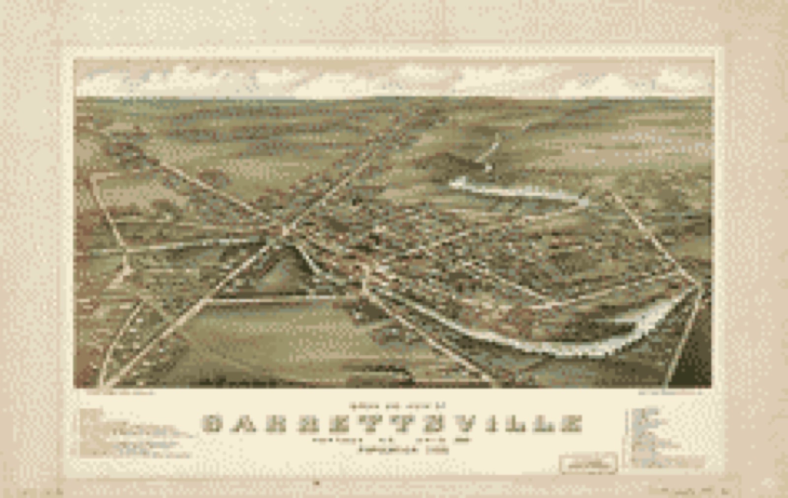
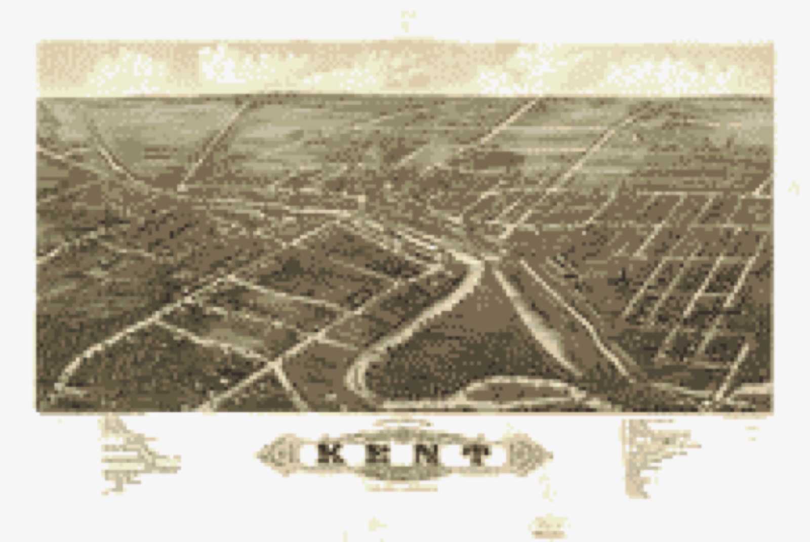
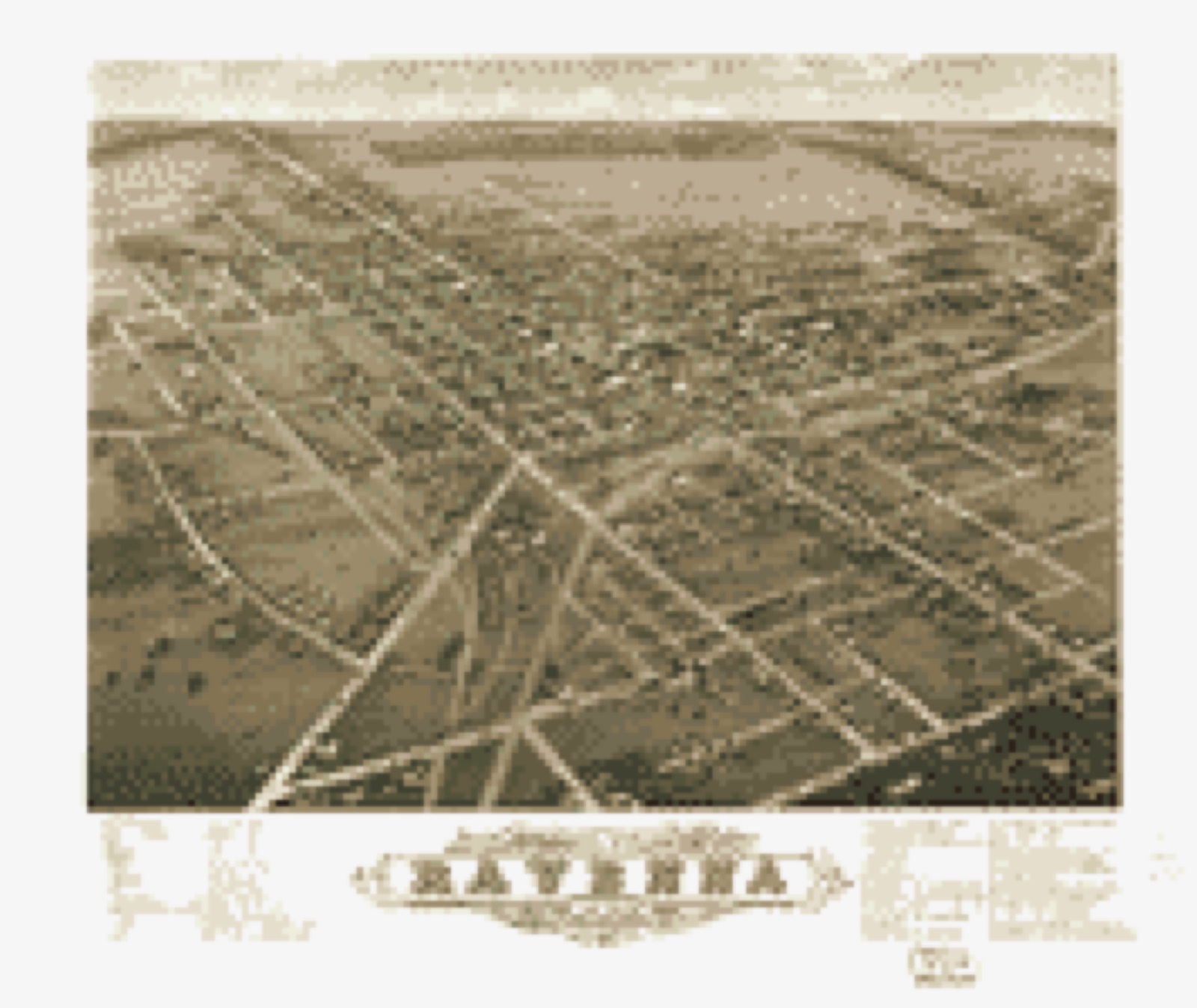
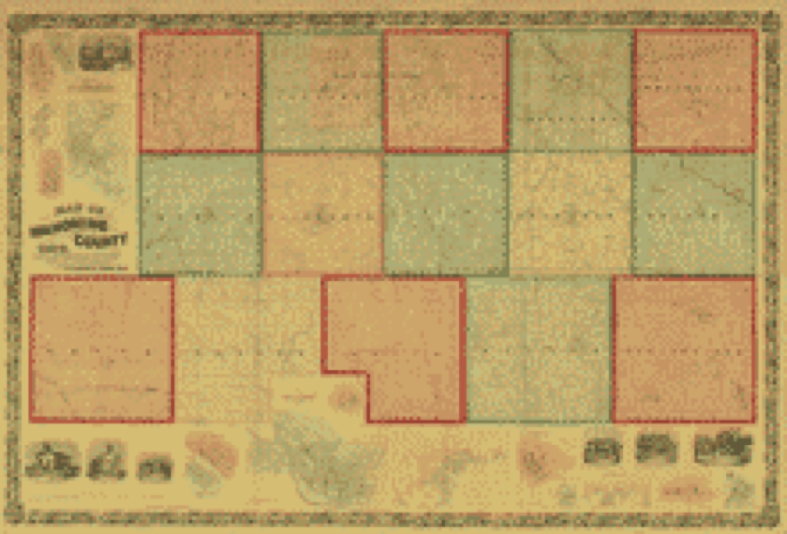
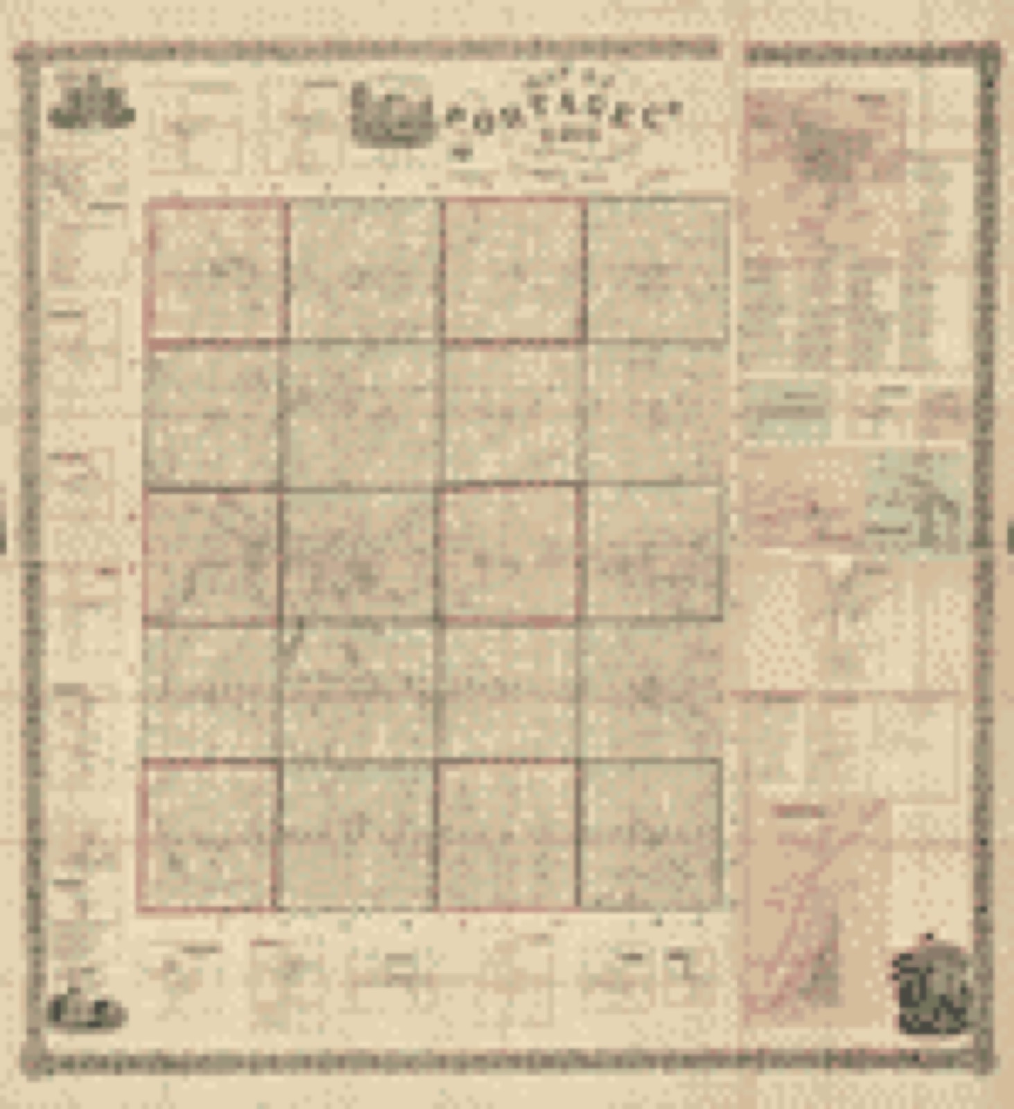
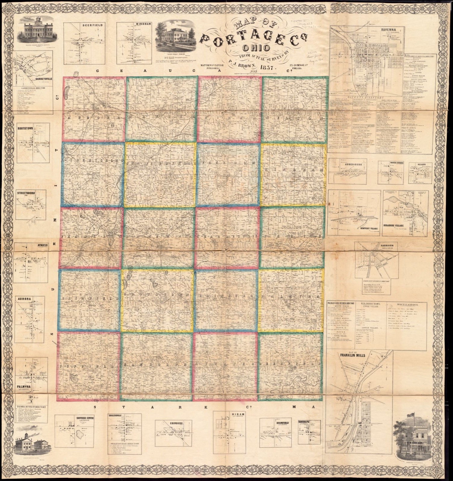
Bird's-eye view (1883) - Bird's eye view of Garrettsville, Portage Co. Ohio 1883 : population 1100. Library of Congress.Bird's-eye view (1882) - Panoramic view of the city of Kent, Portage County, Ohio 1882. Library of Congress.Bird's-eye view (1882) - Panoramic view of the city of Ravenna, county seat of Portage Co., Ohio 1882. Library of Congress.Bird's-eye view (1882) - Panoramic view of the city of Youngstown, county seat of Mahoning Co., Ohio 1882. Library of Congress.Bird's-eye view (1882) - Panoramic view of the city of Youngstown, county seat of Mahoning Co., Ohio. Library of Congress.Land ownership map (1860) - Map of Mahoning County, Ohio : showing the original lots and farm. Library of Congress.Land ownership map (1857) - Map of Portage Co., Ohio. Library of Congress.
Photographs from libraries nationwide
6 of 20 shown
Selected from the Digital Public Library
of America's 20 image records catalogued for this county. Every
one shown here carries a public-domain status or a licence that permits
reuse on a site that carries advertising; non-commercial, share-alike
and restricted images are excluded. The selection is spread across the
county's towns (at most eight per town), so no single institution's
bulk upload crowds out the rest. Each opens the holding library's
record, and
the complete set at the
Digital Public Library of America is one click away.
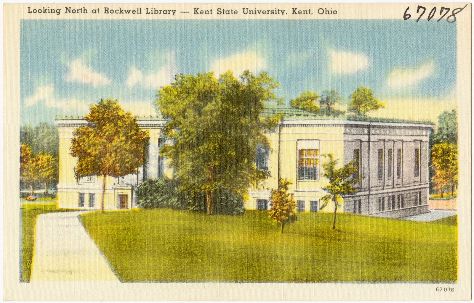
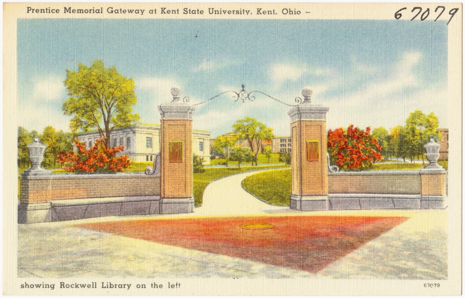
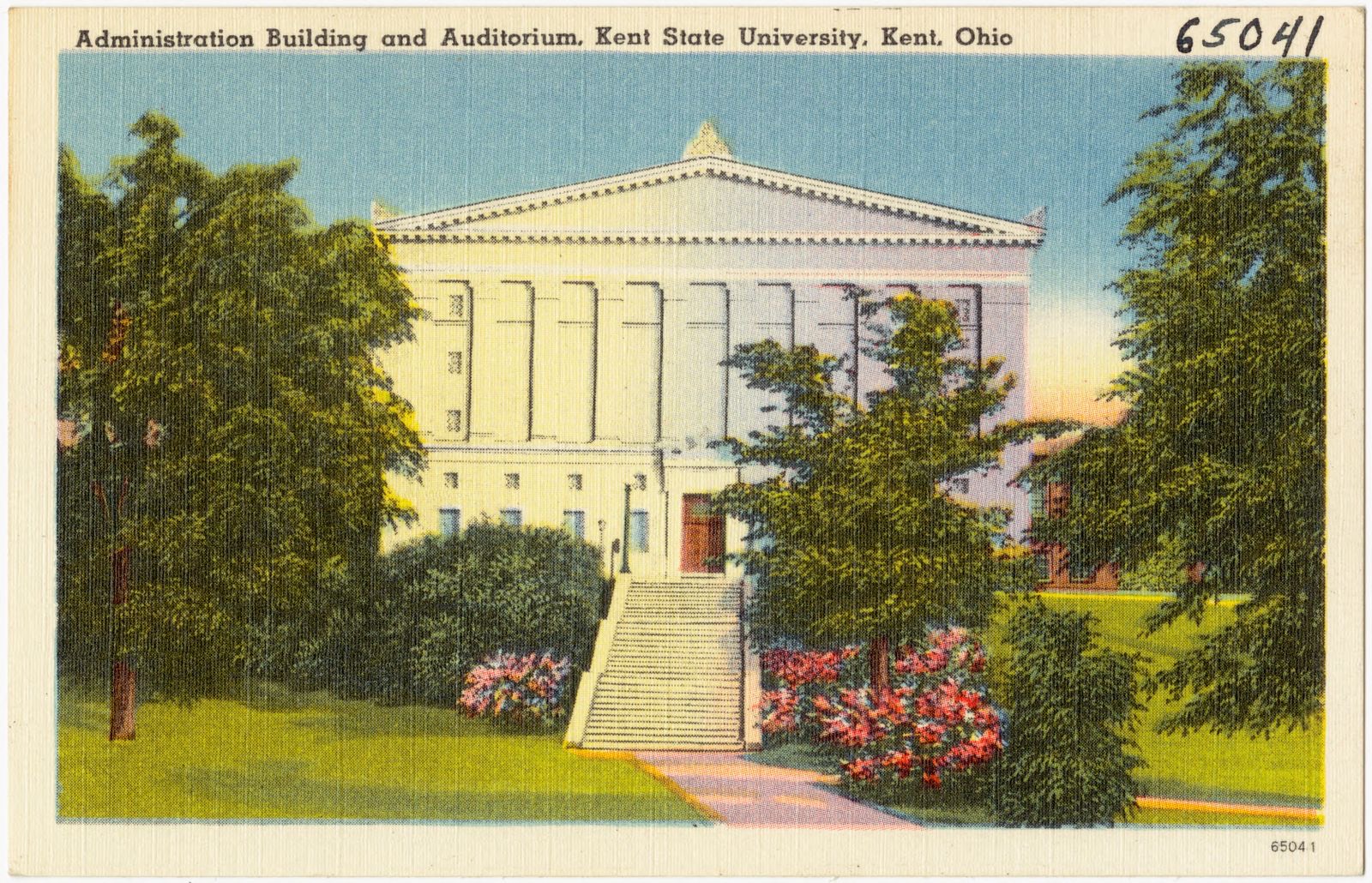
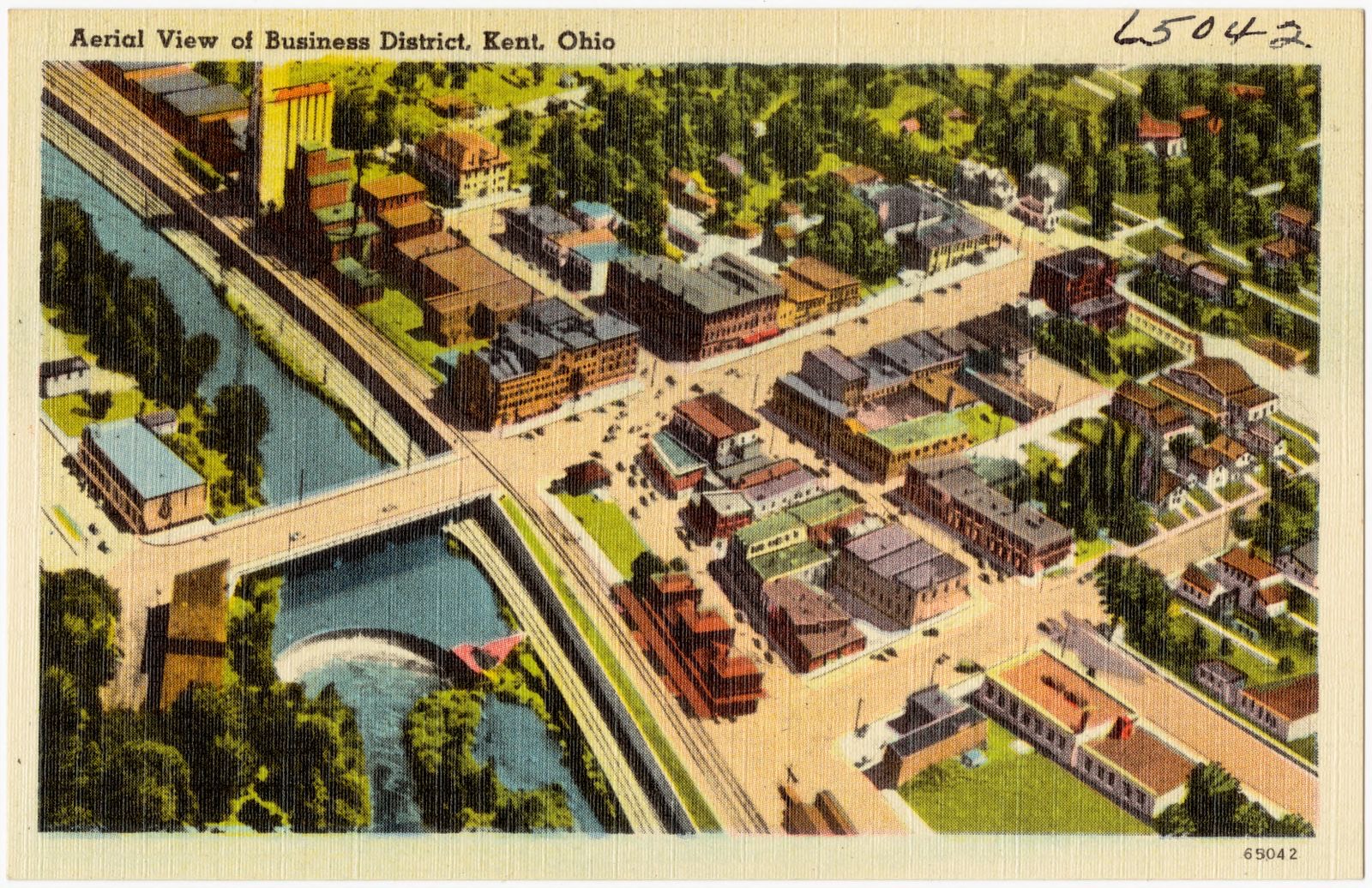
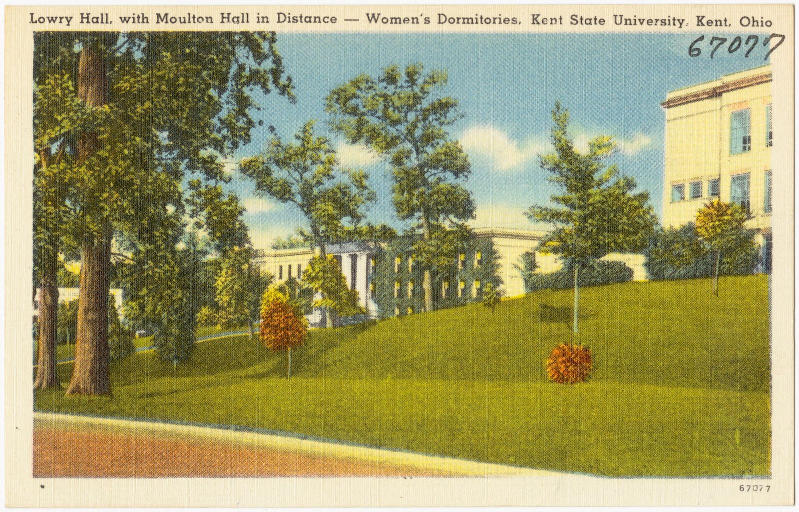
Looking north at Rockwell Library -- Kent State University, Kent, Ohio. Boston Public Library, via the Digital Public Library of America.Prentice Memorial Gateway at Kent State University, Kent, Ohio - showing Rockwell Library on the left. Boston Public Library, via the Digital Public Library of America.Administration building and auditorium, Kent State University, Kent, Ohio. Boston Public Library, via the Digital Public Library of America.Aerial view of Business District, Kent, Ohio. Boston Public Library, via the Digital Public Library of America.Map of Portage Co., Ohio. Brown, P. J., (Surveyor), Boston Public Library, via the Digital Public Library of America.Lowry Hall, with Moulton Hall in distance -- Women's dormitories, Kent State University, Kent, Ohio. Boston Public Library, via the Digital Public Library of America.
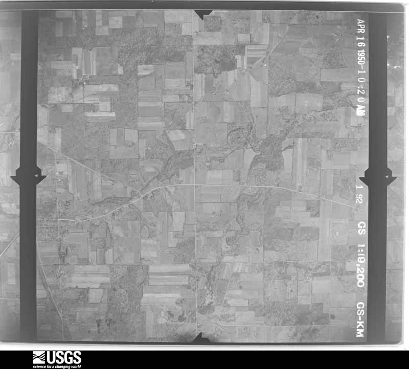
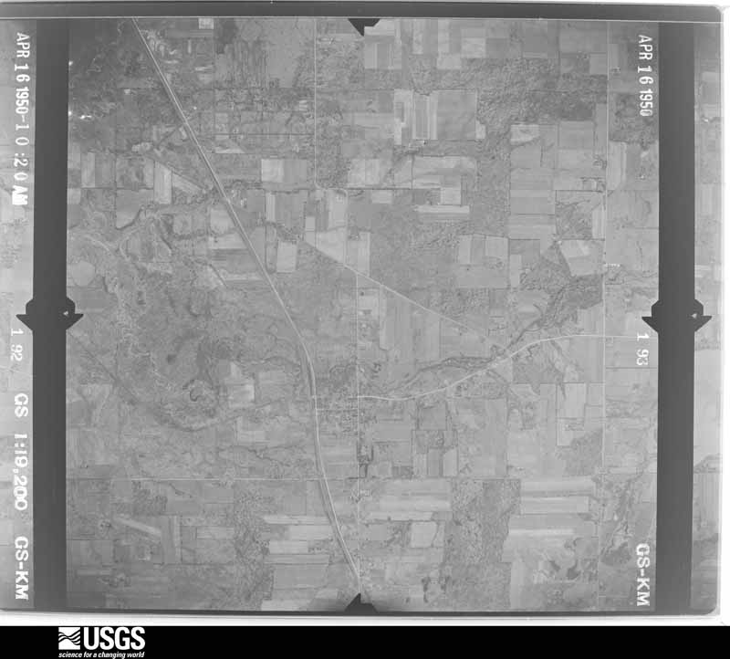
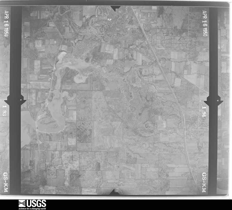
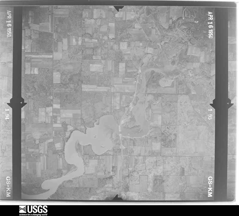
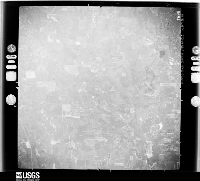
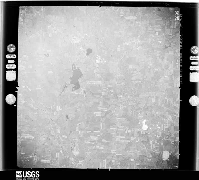
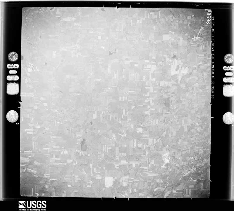
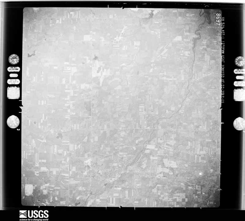
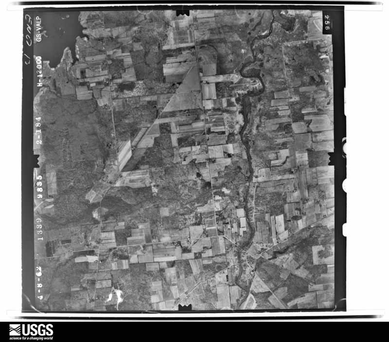
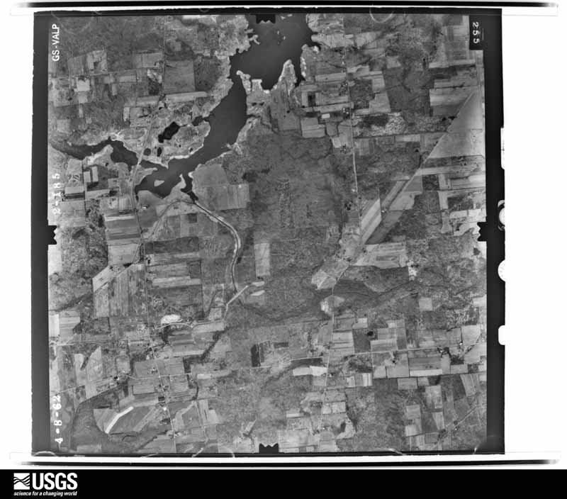
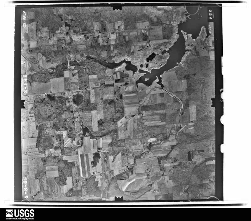
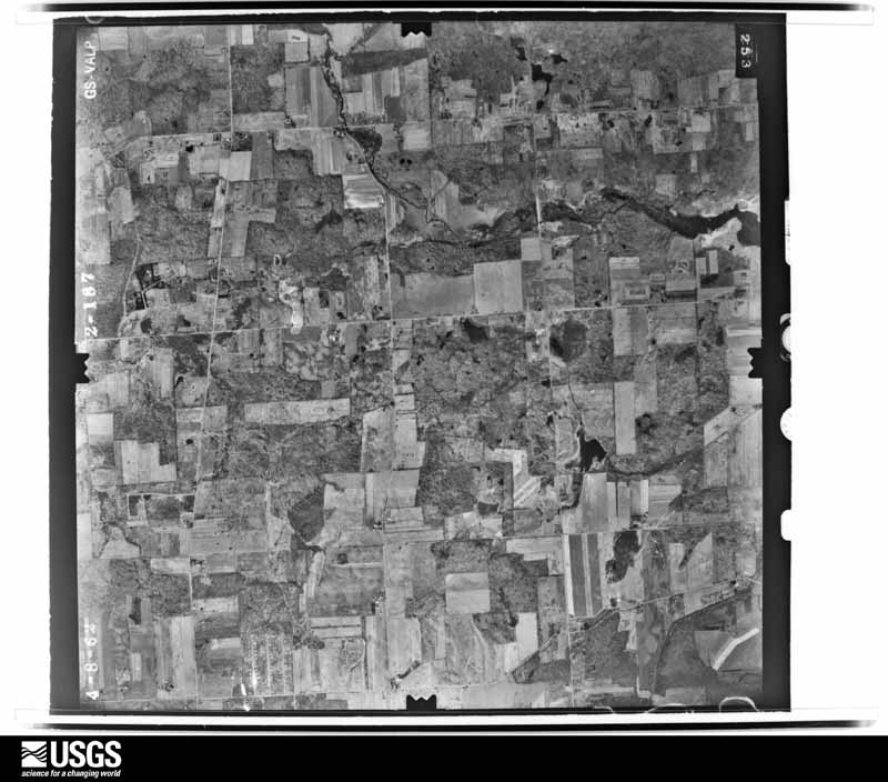
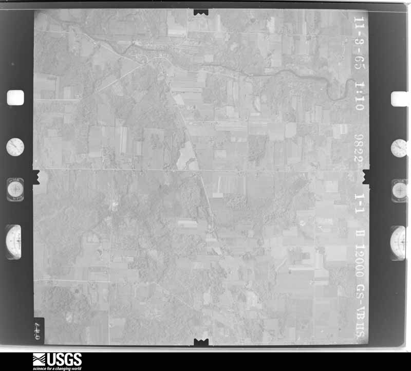
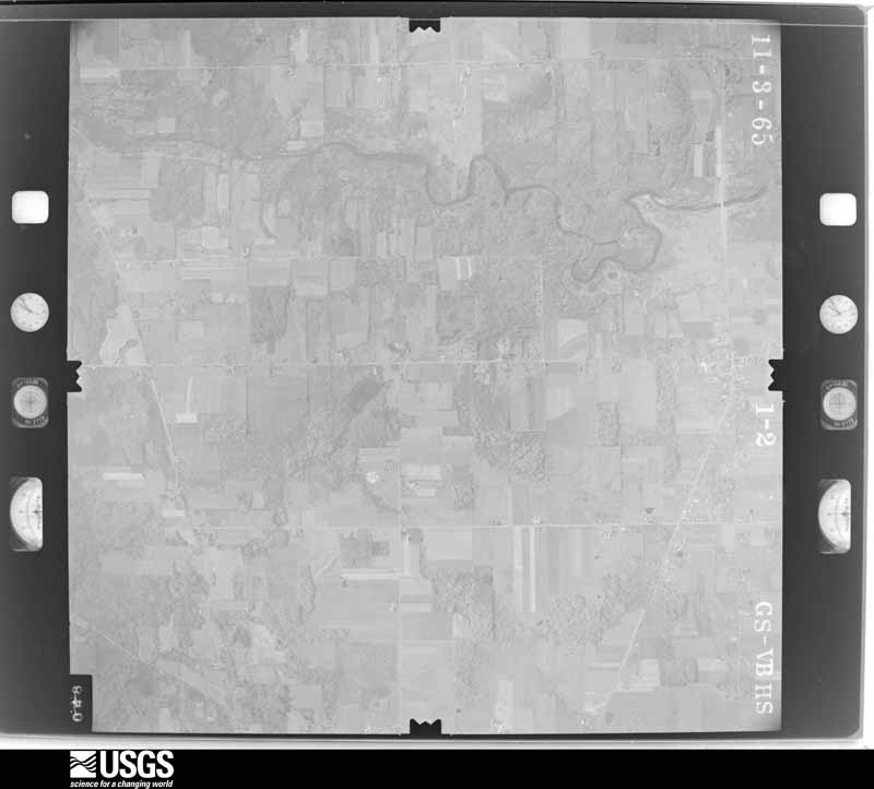
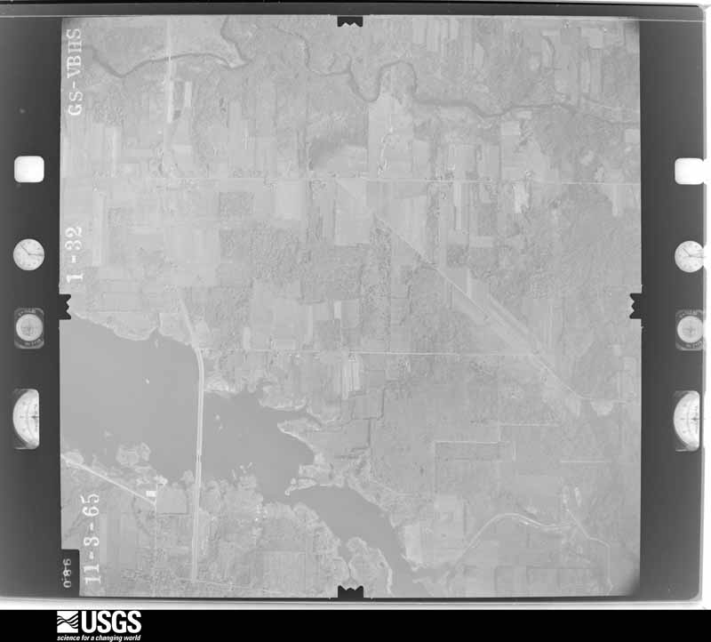
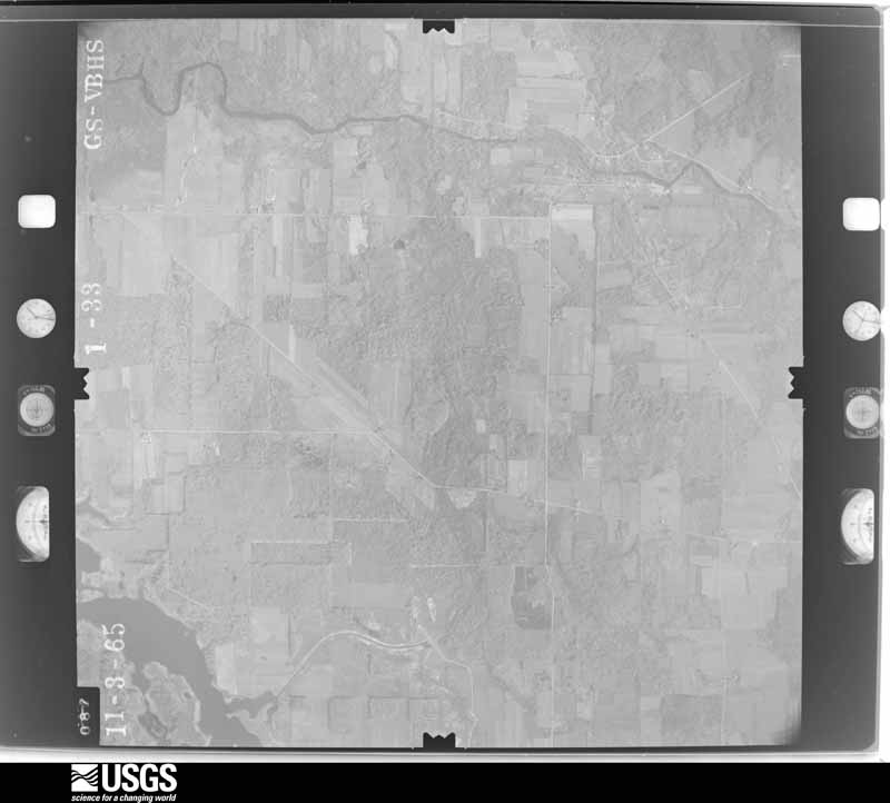
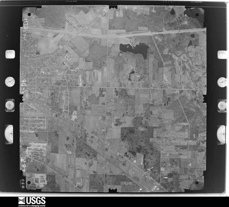
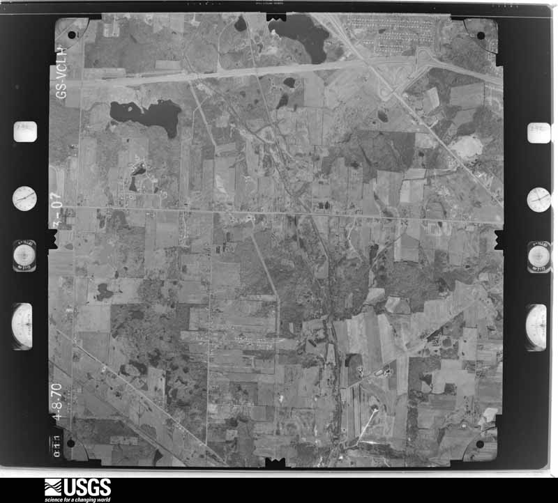
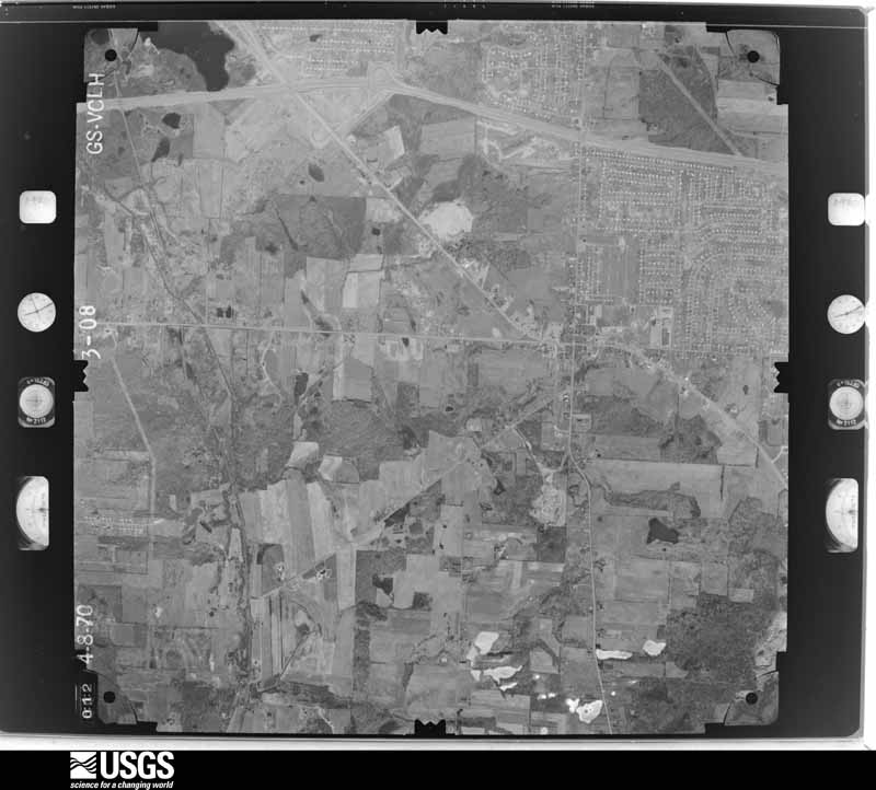
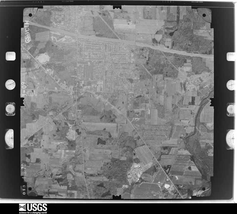
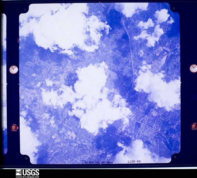
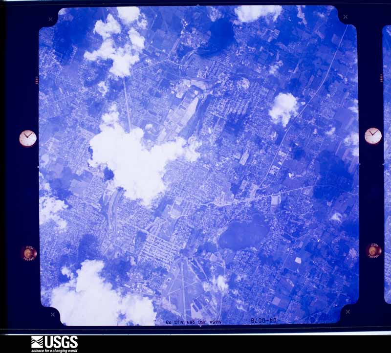
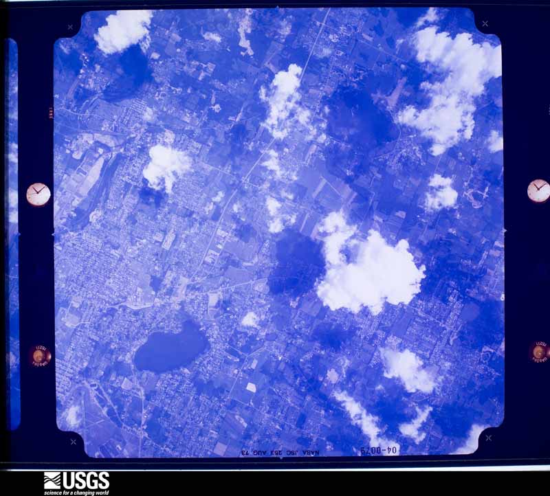
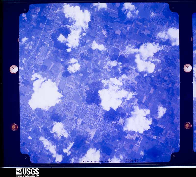
The county from the air
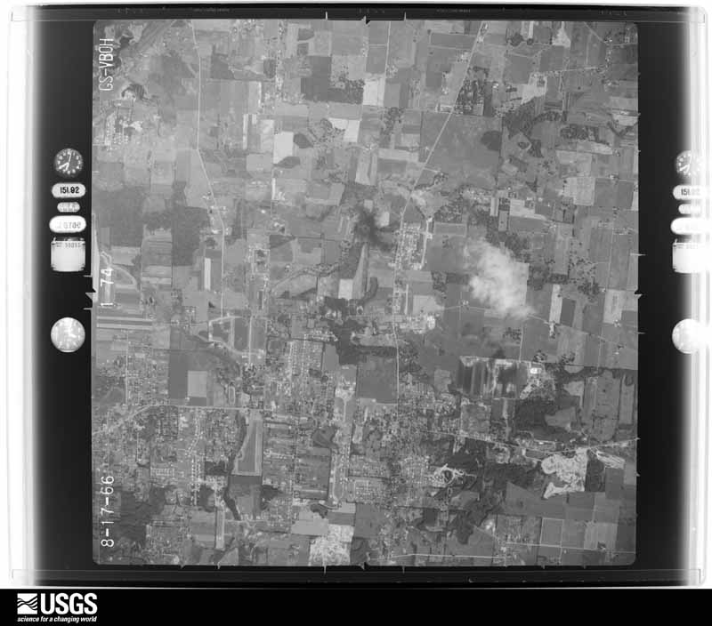
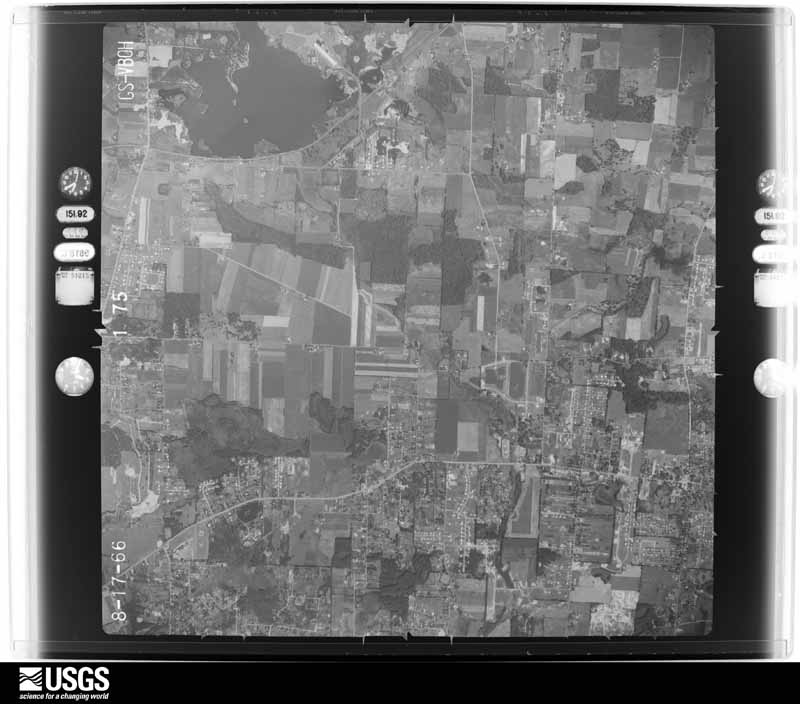
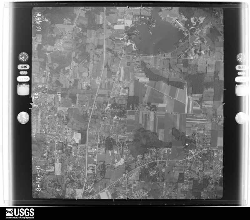
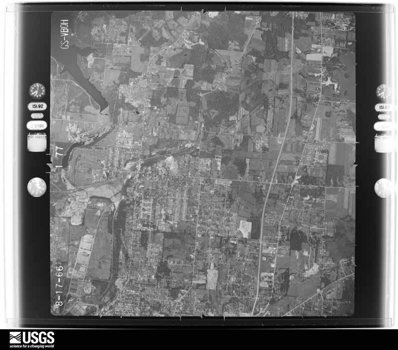
48 of 970 shown
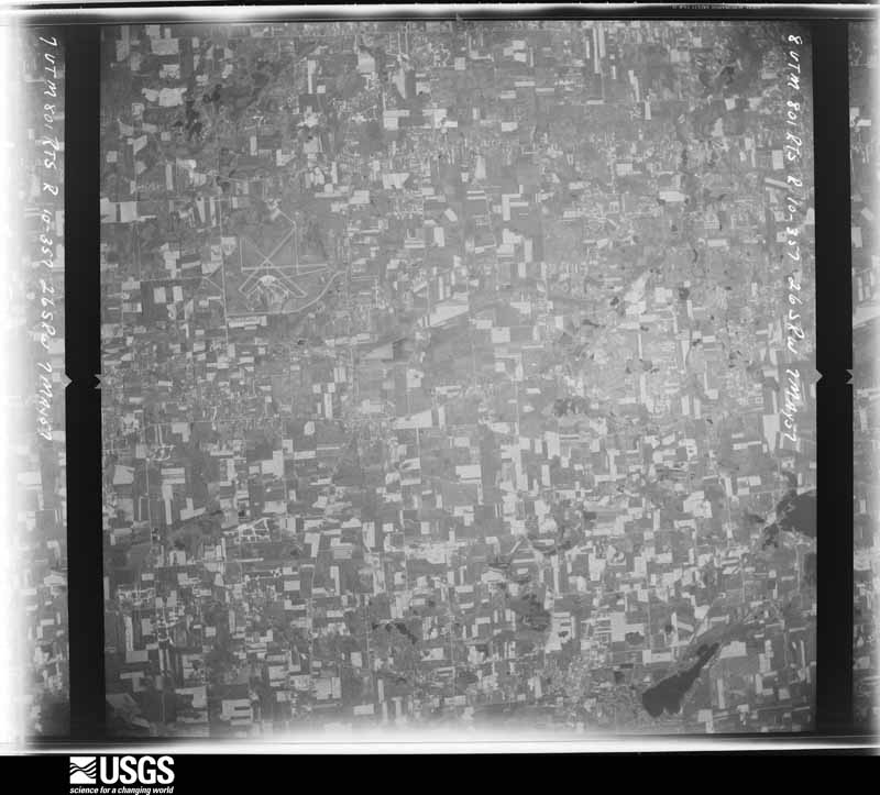
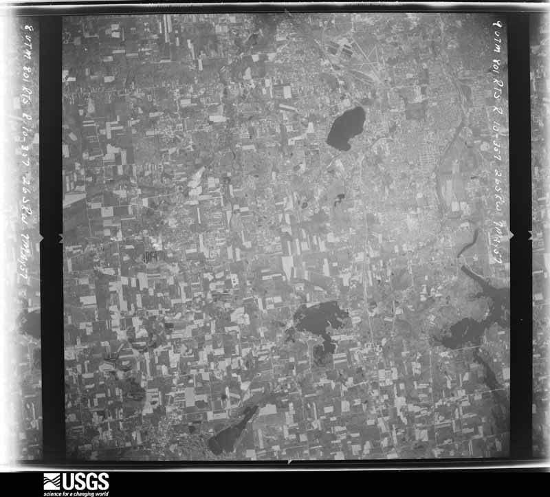
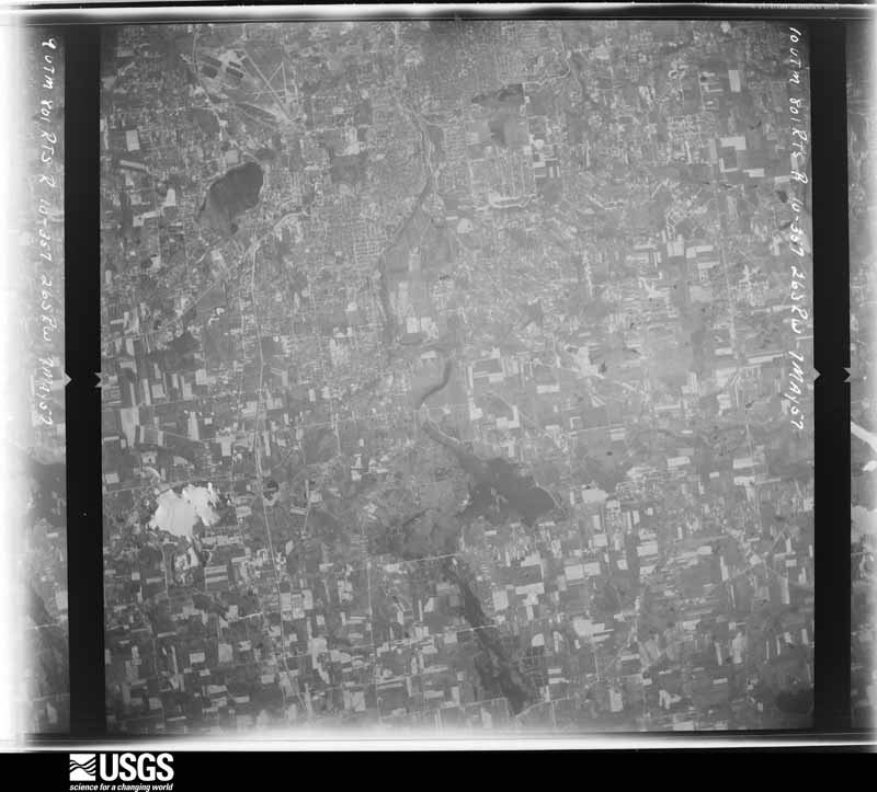
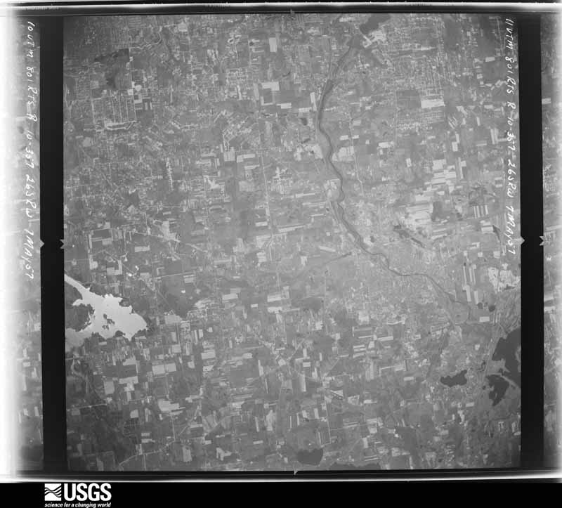
Flown by the U.S. Geological Survey
between 1937 and 1989, the Aerial Photo Single Frames collection is
the definitive mid-century view of the land: fields, roads and rivers
as the camera saw them. 970 frames touch this county; the
selection below spreads across the decades of flights (at most four
per year), so one flight cannot crowd out the rest. The full set is
free to browse and download at
EarthExplorer under the dataset Aerial Photo Single
Frames.
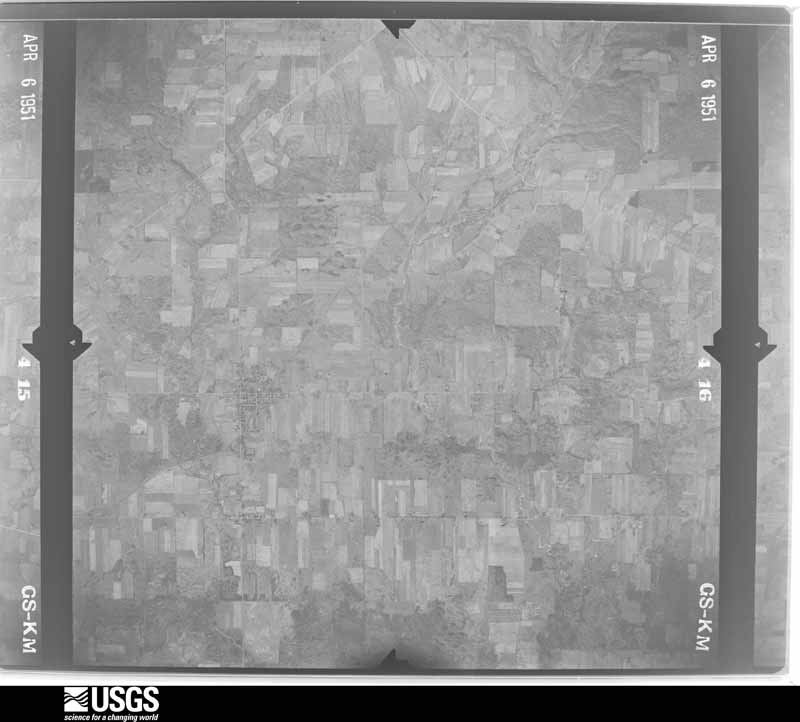
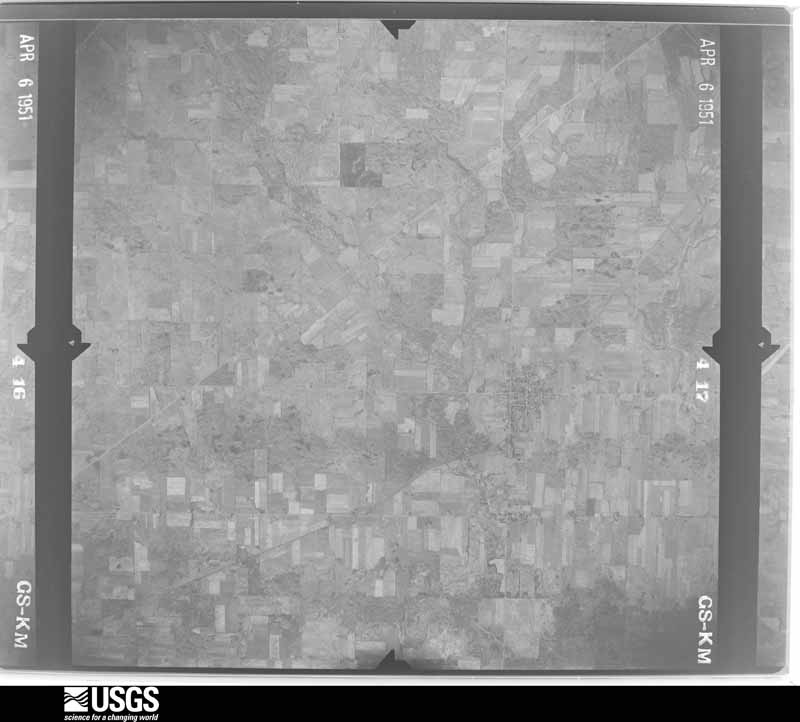
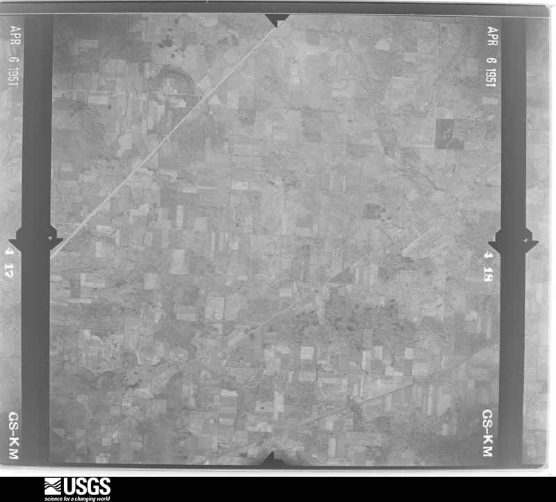
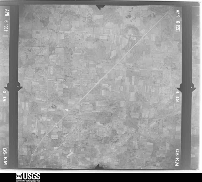
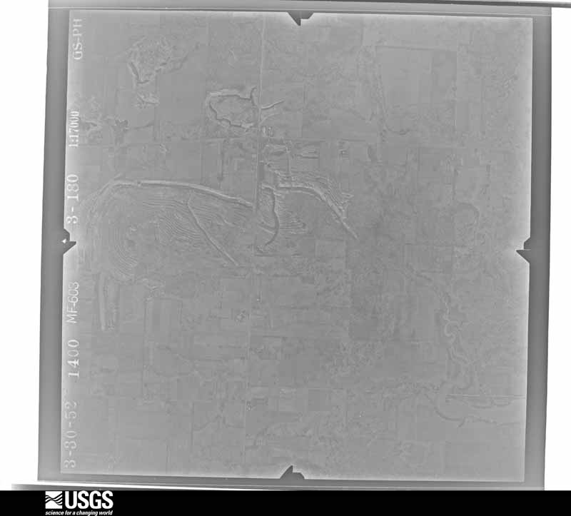
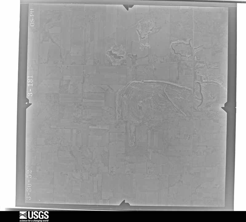
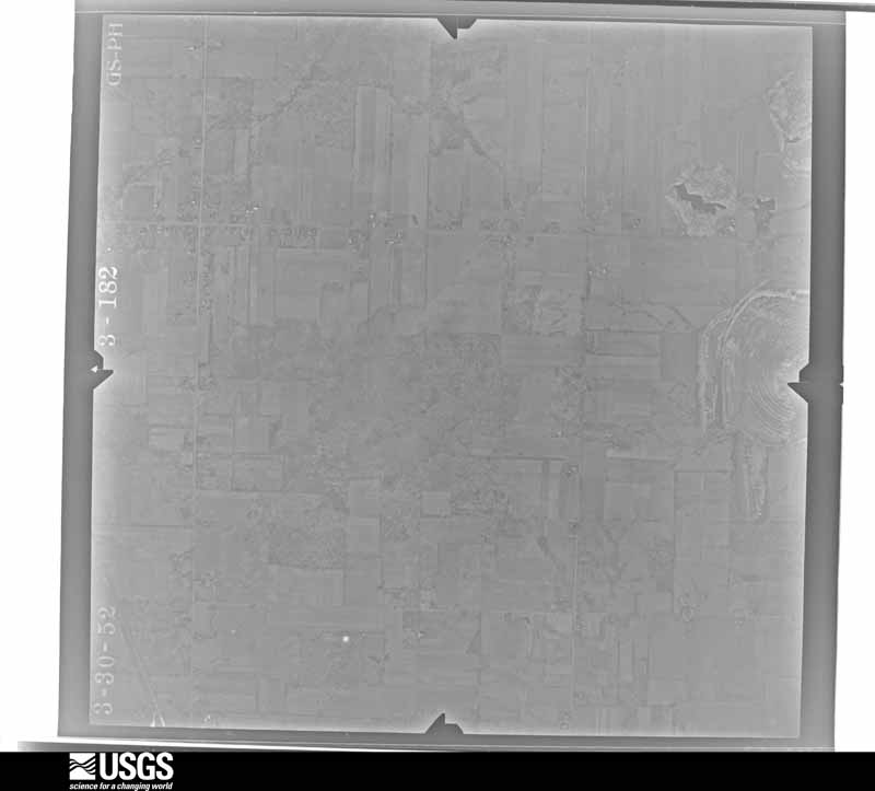
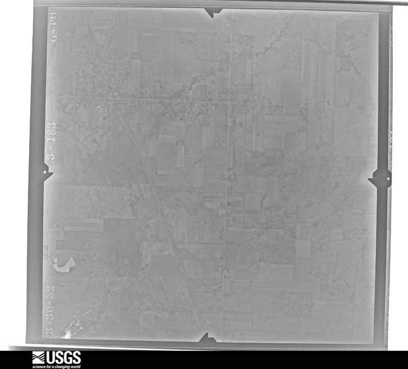
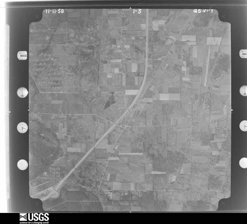
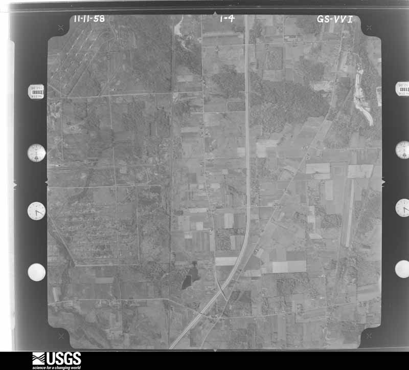
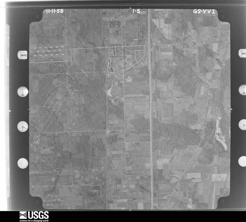
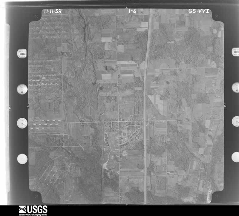
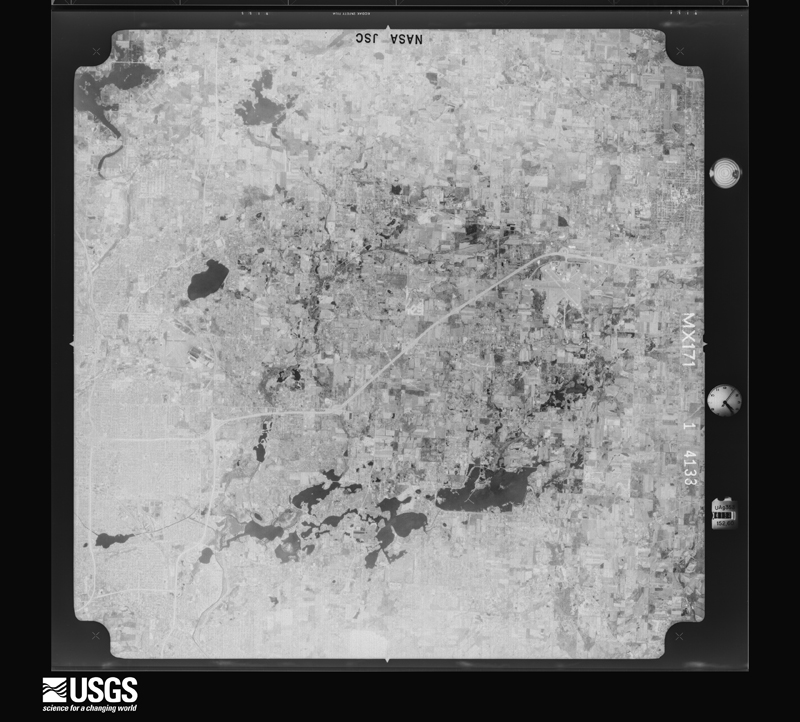
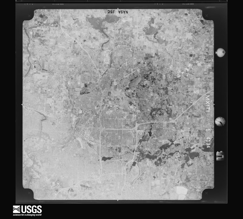
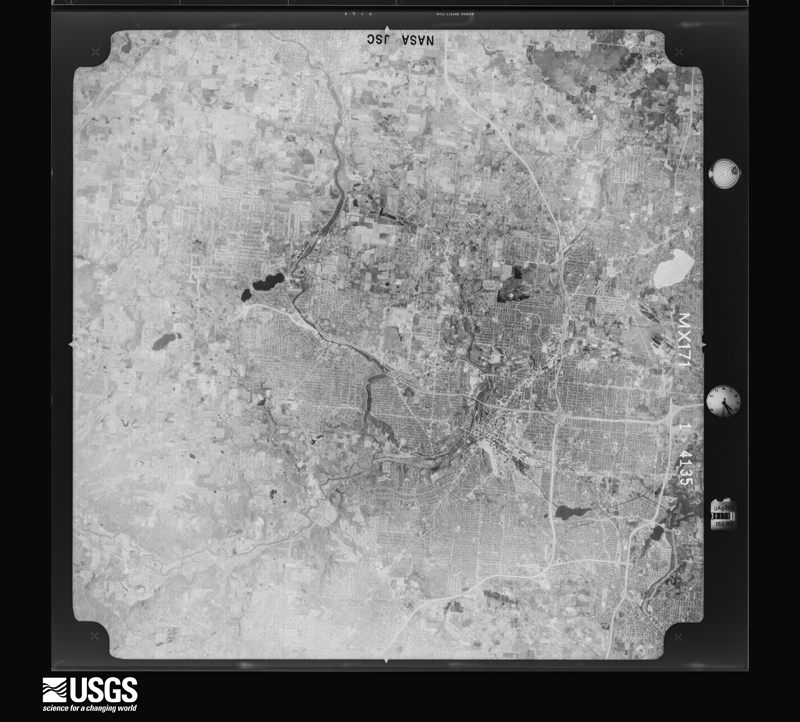
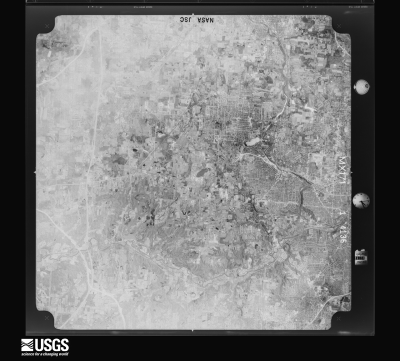
1950-04-27, scale 1:19200. U.S. Geological Survey aerial photograph.1950-04-27, scale 1:19200. U.S. Geological Survey aerial photograph.1950-04-27, scale 1:19200. U.S. Geological Survey aerial photograph.1950-04-27, scale 1:19200. U.S. Geological Survey aerial photograph.1951-04-06, scale 1:33600. U.S. Geological Survey aerial photograph.1951-04-06, scale 1:33600. U.S. Geological Survey aerial photograph.1951-04-06, scale 1:33600. U.S. Geological Survey aerial photograph.1951-04-06, scale 1:33600. U.S. Geological Survey aerial photograph.1952-03-30, scale 1:17000. U.S. Geological Survey aerial photograph.1952-03-30, scale 1:17000. U.S. Geological Survey aerial photograph.1952-03-30, scale 1:17000. U.S. Geological Survey aerial photograph.1952-03-30, scale 1:17000. U.S. Geological Survey aerial photograph.1957-05-07, scale 1:64227. U.S. Geological Survey aerial photograph.1957-05-07, scale 1:63521. U.S. Geological Survey aerial photograph.1957-05-07, scale 1:63521. U.S. Geological Survey aerial photograph.1957-05-07, scale 1:63448. U.S. Geological Survey aerial photograph.1958-11-11, scale 1:24000. U.S. Geological Survey aerial photograph.1958-11-11, scale 1:24000. U.S. Geological Survey aerial photograph.1958-11-11, scale 1:24000. U.S. Geological Survey aerial photograph.1958-11-11, scale 1:24000. U.S. Geological Survey aerial photograph.1960-05-16, scale 1:60000. U.S. Geological Survey aerial photograph.1960-05-16, scale 1:60000. U.S. Geological Survey aerial photograph.1960-05-16, scale 1:60000. U.S. Geological Survey aerial photograph.1960-05-16, scale 1:60000. U.S. Geological Survey aerial photograph.1962-04-08, scale 1:24000. U.S. Geological Survey aerial photograph.1962-04-08, scale 1:24000. U.S. Geological Survey aerial photograph.1962-04-08, scale 1:24000. U.S. Geological Survey aerial photograph.1962-04-08, scale 1:24000. U.S. Geological Survey aerial photograph.1965-11-03, scale 1:24000. U.S. Geological Survey aerial photograph.1965-11-03, scale 1:24000. U.S. Geological Survey aerial photograph.1965-11-03, scale 1:24000. U.S. Geological Survey aerial photograph.1965-11-03, scale 1:24000. U.S. Geological Survey aerial photograph.1966-08-17, scale 1:24000. U.S. Geological Survey aerial photograph.1966-08-17, scale 1:24000. U.S. Geological Survey aerial photograph.1966-08-17, scale 1:24000. U.S. Geological Survey aerial photograph.1966-08-17, scale 1:24000. U.S. Geological Survey aerial photograph.1970-04-08, scale 1:24000. U.S. Geological Survey aerial photograph.1970-04-08, scale 1:24000. U.S. Geological Survey aerial photograph.1970-04-08, scale 1:24000. U.S. Geological Survey aerial photograph.1970-04-08, scale 1:24000. U.S. Geological Survey aerial photograph.1971-04-16, scale 1:94727. U.S. Geological Survey aerial photograph.1971-04-16, scale 1:94727. U.S. Geological Survey aerial photograph.1971-04-16, scale 1:94727. U.S. Geological Survey aerial photograph.1971-04-16, scale 1:94727. U.S. Geological Survey aerial photograph.1973-08-06, scale 1:43046. U.S. Geological Survey aerial photograph.1973-08-06, scale 1:43046. U.S. Geological Survey aerial photograph.1973-08-06, scale 1:43046. U.S. Geological Survey aerial photograph.1973-08-06, scale 1:43046. U.S. Geological Survey aerial photograph.
City directories
3 volumes
The "who lived here, by year" answer:
pre-1929 public-domain directory volumes naming the county's people,
machine-read and searchable as text.
The thermometers that kept this
county's weather, and the gages that watched its rivers, as the
federal records hold them. The extremes below are measured values
from those records, not estimates.
GARRETTSVILLE1893 to 1915, hottest 37.2 C, coldest -40.6 C
HIRAM1893 to 2026, hottest 38.9 C, coldest -30.0 C
ATWATER CTR1894 to 1949, hottest 32.2 C, coldest -23.3 C
HUDSON1895 to 1922, hottest 43.3 C, coldest -34.4 C
Who lived here in 1950, one enumeration
district at a time, as the Census Bureau described each district.
Each row opens its official National Archives result, with Population
Schedules and ED Maps available there.
67-1Atwater township: Atwater township - That part east of State Hwy. 80
67-2Atwater township - That part west of State Hwy. 80
67-4Geauga Lake, unincorporated Bounded by County line; County Rd. 259, State Rd. 43; County Rd. 261A, County Rd. 261A extended; County line
67-5Aurora township - That part outside Aurora village and the unincorporated place of Geauga Lake. (See separate map for boundaries of Geauga Lake)
67-6Brimfield township: Brimfield township - That part east of State Hwy. 43
67-7Brimfield township - That part west of State Hwy. 43
67-8Charlestown township: Charlestown township, excluding Ravenna Arsenal (Part)
67-9Ravenna Arsenal - That part in Charlestown township (Remainder of Ravenna Arsenal is in Freedom, Paris and Windham townships, Portage County, and in Braceville township, Trumbull County)
67-13Kent city: Kent city - That part of Ward 1 Bounded by City limits; Cuyahoga River; Crain Ave., N. Mantua, Fairchild Ave.; Hudson Rd., City limits
67-14Kent city - That part of Ward 1 Bounded by City limits; Hudson Rd.; Fairchild Ave.
67-15Kent city - That part of Ward 1 Bounded by Fairchild Ave.; Woodard Ave., Whittier Dr., N. Prospect; West Main; City limits
67-16Kent city - That part of Ward 1 Bounded by Fairchild Ave., N. Mantua, Crain Ave.; Cuyahoga River; W. Main; N. Prospect, Whittier Dr., Woodard Ave.
67-17Kent city - That part of Ward 2 Bounded by W. Main; S. Water, W. Summit, Mogadore Rd.; City limits; City limits, Middlebury Rd., S. Chestnut
67-18Kent city - That part of Ward 2 Bounded by W. Main; S. Chestnut; Middlebury Rd.; City limits
67-19Kent city - That part of Ward 2 Bounded by W. Summit; Franklin Ave., Dodge, Pine, Cherry, Cedar; City limits; Mogadore Rd.
67-20Kent city - That part of Ward 2 Bounded by W. Summit; S. Water, State Hwy. 43; City limits; Cedar, Cherry, Pine, Dodge, Franklin Ave.
67-21Kent city - That part of Ward 3 Bounded by E. Main; City limits; City limits, E. Summit; S. Lincoln
67-24Kent city - That part of Ward 3 Bounded by Williams, Vine, High, S. Lincoln, E. Summit; City limits; City limits; State Hwy. 43, S. Water
67-25Kent city - That part of Ward 4 Bounded by Cuyahoga River; City limits; E. Main; University Dr., Crain Ave., Miller Ave., Lake, Crain Ave.
67-26Kent city - That part of Ward 4 Bounded by Crain Ave., Lake; Miller Ave., Crain Ave., University Dr.; E. Main; Cuyahoga River,
67-27Franklin township - That part Bounded by Township line; Township line; Erie Railroad, Pennsylvania Railroad, Cuyahoga River, Kent city limits, State Hwy. 527; Township line
67-28Franklin township - That part Bounded by Pennsylvania Railroad; Erie Railroad, Beckwith Rd., Brady Lake Rd., Merrill Rd., Brady Lake village limits; State Hwy. 5; Kent city limits, Cuyahoga River outside Kent city and Brady Lake village
67-29Franklin township - That part Bounded by Erie Railroad, Pennsylvania Railroad; Leda Ave. extended, Leda Ave.; Brady Lake Rd., Brady Lake village limits; Merrill Rd., Brady Lake Rd., Beckwith Rd., outside Brady Lake village
67-30Franklin township - That part Bounded by Erie Railroad; Township line; Kent - Ravenna Rd.; Brady Lake village limits, Brady Lake Rd., Leda Ave., Leda Ave., extended, Pennsylvania Railroad, outside Brady Lake village
67-31Franklin township - That part Bounded by State Hwy. 527, Kent city limits, State Hwy. 5; Township line; Township line; Township line
67-32Freedom township: Freedom township, excluding Ravenna Arsenal (part)
67-33Ravenna Arsenal - That part in Freedom township (Remainder of Ravenna Arsenal is in Charleston, Paris and Windham townships, Portage County and Braceville townships, Trumbull County)
67-34Garrettsville township, coextensive with Garrettsville village: Garrettsville village - That part Bounded by Village limits; Village limits; Village limits; South, North
67-35Garrettsville village - That part Bounded by Village limits; North, South; Village limits; Village limits
67-42Paris township: Paris township, excluding Ravenna Arsenal (part)
67-43Ravenna Arsenal - That part in Paris township (Remainder of Ravenna Arsenal is in Charlestown, Freedom and Windham townships, Portage County and in Braceville township, Trumbull County)
67-44Randolph township: Randolph township - That part north of U.S. Hwy. 224
67-45Randolph township - That part south of U.S. Hwy. 224
67-46Ravenna township: Ravenna city: Ravenna city - That part of Ward 1 Bounded by City limits; Chestnut; Springfield Ave., Day, Highland Ave.; Pennsylvania Railroad, Erie Railroad
67-47Ravenna city - That part of Ward 1 Bounded by Highland Ave., Day, Springfield Ave.; Chestnut; Main; Pennsylvania Railroad
67-48Ravenna city - That part of Ward 1 Bounded by Pennsylvania Railroad; Main; Oakwood
67-49Ravenna city - That part of Ward 1 Bounded by Erie Railroad, Pennsylvania Railroad; Oakwood; Main; City limits
67-50Ravenna city - That part of Ward 2 Bounded by City limits; City limits; Main; Freedom
67-51Ravenna city - That part of Ward 2 Bounded by City limits; City limits, Freedom; Main; Chestnut
67-52Ravenna city - That part of Ward 3 Bounded by Main; Chestnut; Riddle Ave., Mill Rd., Pennsylvania Railroad, Riddle Ave.; City limits
67-53Ravenna city - That part of Ward 3 Bounded by Riddle Ave., Pennsylvania Railroad, Mill Rd., Riddle Ave.; Chestnut; City limits; Diamond
67-54Ravenna city - That part of Ward 3 Bounded by Riddle Ave.; Diamond; City limits; City limits
67-55Ravenna city - That part of Ward 4 Bounded by Harris Ave., Pratt, Bennett Ave., Freedom, Murray Ave., Liberty, Main; City limits; City limits; Prospect, Lake Ave., Walnut
67-56Ravenna city - That part of Ward 4 Bounded by Main; Liberty; Murray Ave., Freedom, Bennett Ave., Pratt, Harris Ave.; Walnut
67-57Ravenna city - That part of Ward 4 Bounded by Main; Walnut, Lake Ave., Prospect; City limits; Ward line, Chestnut
67-58Ravenna township - That part north of State Hwy. 5, outside Ravenna city
67-59Ravenna township - That part south of State Hwy. 5, outside Ravenna city
67-60Rootstown township: Rootstown township - That part east of State Hwy. 44
67-61Rootstown township - That part west of State Hwy. 44
67-64Suffield township: Mogadore village - That part in Suffield township (Remainder of Mogadore village is in Summit County)
67-65Suffield township - That part east of State Hwy. 43
67-66Suffield township - That part west of State Hwy. 43 outside Mogadore village
67-67Windham township: Windham village: Windham village - That part Bounded by Village limits; Village limits; East Center; Maple Grove Rd., Green Meadow Rd., Community Rd., Maple Grove Rd., North Main
67-68Windham village - That part Bounded by Maple Grove Rd.; Community Rd., Green Meadow Rd., Maple Grove Rd.; East Center; North Main
67-69Windham village - That part Bounded by Village limits; North Main; West Center; Village limits
67-70Windham village - That part Bounded by West Center; South Main; Village limits; Village limits
67-71Windham village - That part Bounded by East Center; Village limits; Village limits; South Main
67-72Windham township - That part outside Windham village and excluding Ravenna Arsenal (pert)
67-73Ravenna Arsenal - That part in Windham township (Remainder of Ravenna Arsenal is in Charleston, Freedom, and Paris townships, Portage county and Braceville township, Trumbull County)
Businesses named in the atlases
57 businesses
Every Sanborn volume opens with a printed index
naming the town's mills, tanneries, hotels and works by proprietor. Those
indexes were read off the scanned sheets by machine and then matched to each
other, so a business surveyed four times appears here once, with the years it
survived. 18 of these 57 were named in more than one atlas. Each carries a
crop of the line it was read from: the spelling is the recogniser's and the
1880s lithographer's, and the scan behind it is the proof.
Every wildfire the federal occurrence
database records inside this county: 3 of them, burning about
1 acres. 0 started naturally and 0 were
recorded as arson. Each settlement page carries the fires within five
miles of it.
Reported cause
Fires
Debris and open burning
2
Missing data/not specified/undetermined
1
The five largest, by the area the report
gives. None of them was recorded as arson.
Date
Cause
Size
Reported by
Name on the report
20 November 2020
Debris and open burning
under an acre
Ohio Department of Natural Resources
16005
17 November 2020
Debris and open burning
under an acre
Ohio Department of Natural Resources
16004
4 November 2020
Missing data/not specified/undetermined
under an acre
Ohio Department of Natural Resources
16003
Every settlement page carries the fires within five
miles of it - see the settlement index below.
Storms, 1956 to
2026
60 of 525 shown
The
NOAA Storm Events Database holds
525 reports for this county, causing 0 deaths,
4 injuries and about $295,360,000 in recorded property damage.
Each settlement page carries the reports that name it.
Kind of event
Reports
Thunderstorm Wind
298
Hail
169
Flash Flood
28
Tornado
18
Lightning
7
Flood
4
Heavy Rain
1
The most serious of them, by death, then
injury, then recorded damage. The accounts are quoted exactly as the
forecast office filed them.
Thunderstorms dumped heavy rains on Portage County. Rainfall rates at times exceeded two inches per hour. Rainfall totals for the day exceeded four inches in some areas with highest amounts across the central portion of the county. Spotters in Kent measured 4.13 inches of rain by 8:30 p.m. and a total of 4.6 inches of rain fell at the water treatment plant in Kent. Mantua received 4.7 inches of rain by 9:00 p.m. and 3.6 inches of rain fell at Ravenna between 7 and 9 p.m. Extensive lowland and urban flooding occurred as many stream and creeks left their banks. The northern and central portions of the county were the hardest hit by the flooding. Knee deep water was reported over large sections of Ravenna just after sunset and bucket surveys indicate that as much as 7 inches of rain may have fallen on the city. Boats had to be sent to a mobile home park on the west side of the city to rescue 101 residents. Around 150 homes and businesses were damaged in Ravenna. Reports of up to 5 inches of rain were received from Aurora. Many homes were damaged in this area and several roads were washed out. The Holiday Acres and Pike Parkway neighborhoods in Streetsboro were hard hit with water in some areas up to four feet deep. The occupants of five motor vehicles had to be rescued. Kent was also hard hit with many damaged homes and washed out streets. Damage to roads and bridges in the county was near $1 million. Hundreds of homes were damaged in the county and damage to private property topped $20 million.
Thunderstorm downburst winds in excess of 100 mph caused extensive damage across northern Portage County. A 105 mph wind gust was measured by an automated sensor in Aurora. Damages stretched from the county line west of Aurora across the northern tier of townships to the eastern end of the county. The damage was most concentrated in Aurora and adjacent Mantua Township. Thousands of trees were downed across the county. Many homes lost roofing or siding and several others were damaged by fallen trees. Many vehicles were reported damaged by flying debris or from fallen trees or limbs. Widespread power outages occurred with full restoration taking around five days. Bleachers at an athletic field at Aurora High School were overturned and destroyed. Several school districts in Portage County were closed on November 6th and some on the 7th because of power outages. Clean up from the storms took weeks.
High water closed most roads in Shalersville after an estimated 3 to 4 inches of rain fell within one hour. This rainfall was after 16 consecutive days with rain in the region. Subsequently the saturated ground could not absorb the water and widespread flooding resulted. The water came up so quickly that emergency officials had to evacuate homeowners. Several people became stranded in their cars or homes. Hardest hit areas include Wentworth Street in the Bolingbrook neighborhood and Aurora East where water was several feet deep in homes. The flood waters inundated about half of the 350 homes. The waters receded within an hour or two.
During the early morning hours of May 22nd, heavy rain producing thunderstorms moved across Portage County for the the third time in less than 24 hours. Rainfall totals of over three inches were reported in the the county with rainfall rates at times approaching two inches per hour. A spotter in Kent measured 3.77 inches of rain between 3 a.m. on May 21st and 3 a.m. on the 22nd. This rain combined with ground already saturated from the earlier storms led to the renewal of widespread flooding in the county. The Kent, Ravenna, Charlestown and Paris Township areas were the worst affected in the county. In Ravenna, 40 people had to be evacuated from a mobile home park after flood waters rose to several feet deep. Several residents in a nearby apartment building also had to be evacuated. Dozens of roads and streets were flooded and had to be closed. Several vehicles became stranded in the flood waters. Damage to roads and other government property from the storms on the 21st and 22nd topped $750,000. Almost 300 homes and businesses sustained flood damage in the county.
A thunderstorm downburst with winds estimated at 85 to 95 mph hit the west side of Kent. The area affected by the downburst was one quarter wide mile and approximately a mile in length. Several hundred trees and 40 power poles were downed. A total of 25 homes were damaged including four that were declared unhabitable. In addition, a camper and over a dozen automobiles were crushed by fallen trees. Widespread power outages occurred and a state of emergency was put in effect because of the widespread and severe damage.
Thunderstorms dumped torrential rains on Portage County during the late afternoon and early evening hours of June 22nd. Radar estimated that as much as 3 to 5 inches of rain fell across the northern portion of the county. This rain fell on ground already saturated from earlier rains. Flooding was reported in Aurora with dozens of homes in the northern half of the city sustaining damage from flooding. Most of this was basement flooding and no significant structural damage was reported. Significant street flooding also occurred in Streetsboro. Near Ravenna, a stream left it's banks and flooded much a mobile home park near State Route 59. Several residents of the park had to be evacuated. Many other homes in the county also sustained damages, mainly from basement flooding.
A line of severe thunderstorms moved across Portage County and downed hundreds of trees and caused widespread power outages. A spotter measured a 63 mph gust in Ravenna. The southern half of the county, including the Ravenna and Kent areas saw the most extensive damage. Around 100 homes sustained damaged with one mobile home destroyed by fallen trees. Many vehicles were also reported damaged. Several roads had to be closed because of the extensive tree damage. At the peak of the storm, over 7,000 customers were without power.
An EF1 tornado with estimated peak winds of 110 mph occurred in Windham. The tornado began near the intersection of OH Route 303 and Stanley Road. The tornado|produced wind damage of EF0 to low end EF1 intensity as it downed trees and damaged roofs of several buildings. The tornado continued northeastward toward Bryant Road, where the tornado caused significant damage to a large garage and moved a shed several yards, in addition to downing several trees. The tornado crossed|the Ohio Turnpike, impacted three tractor trailers, and closed the highway for some time. North of the Ohio Turnpike and off Bryant Road, the tornado heavily damaged a mobile home, flipped over a car and boat, and caused other minor structural damage,|indicative of EF1 damage. The tornado continued northeast toward Parkman Road, Crestview Drive, Wisteria Street, and Geneva Drive. This area experienced the greatest damage from the tornado, indicative of the 110 mph rating. Several homes were heavily damaged with loss of roofing material, siding, and blown out windows. Two homes were shifted off their foundations. Numerous large trees were downed onto some homes. The tornado continued northeastward and crossed OH Route 82, west of Horn Road, where several trees were snapped. The tornado continued producing tree|damage to Frazier Road before dissipating prior to reaching Silica Sand Road.
Thunderstorms dumped one to two inches of rain on Portage County during the evening hours. With the ground still saturated from flooding the previous week, rapid rises in streams and creeks occurred. Many roads were flooded and at least two dozen homes sustained minor flood damage. Several vehicles were stranded in flood waters up to two feet deep. In the Charlestown area, a vehicle was swept off of a flooded road. The occupant swam to a tree and was later rescued.
Thunderstorms dumped another inch or two of rain on already saturated grounds. Streams and creeks near bankful or already in flood quickly rose during the afternoon and evening hours. Widespread flooding was reported across the county. Homes near Mantua were reported to have as much as two feet of water on their first floors. Water up to three feet deep forced many roads to be closed near Freedom.
A thunderstorm downburst produced a six mile damage path in Portage County. A 67 mph wind gust was measured in Ravenna with gusts along the remainder of the damage path estimated to be in excess of 60 mph. The damage path was oriented from southwest to northeast and began near Suffield in Suffield Township. The most significant damage occurred further northeast in Rootstown and Ravenna Townships. Especially hard hit was the City of Ravenna where over 100 trees were downed. Hundreds of additional trees were downed elsewhere along the damage path. Two mobile homes were destroyed on the north side of Ravenna. An occupant of one of the mobile homes sustained minor injuries. A home was heavily damaged in Rootstown Township with two other homes suffering minor damage. In addition, several vehicles were either destroyed or damaged.
Widespread flash flooding in Kent and Ravenna. Several roads flooded and impassable with several feet of standing water, including OH-59 between downtown Ravenna and OH-44. Dispatch received 30 calls to assist motorists stranded in flood waters. Widespread basement flooding reported. Radar estimates and gauge measurements indicate 3 to 3.25 inches of rainfall in a two hour period.
Widespread flash flooding in Ravenna. Several roads flooded with two motorists needing rescued. Widespread flooding of mobile homes along Bramley Drive. Several reports of basement flooding throughout the city. Flooding of a church on Bridge Street was reported. Radar estimated and gauge measured rainfall of 3 to 3.5 inches fell in a 2 to 3 hours period over Ravenna.
Widespread flooding through the northern half of the county. Hewins Road in Windham Township has 6 ft. of water across the roadway. Three mobile home parks in Ravenna Township were inundated. Over 20 homes in Ravenna Township had basement flooding, with additional flooding reported throughout Nelson Township, Garrettsville, and Freedom Township.
For the second day in a row, heavy thunderstorm rains fell on Portage County. One to two inches of rain fell during the day. This rain combined with soil already saturated from flooding on the 21st caused streams and creeks near bankful or already in flood to rise dramatically during the day. Many homes and roads were damaged by this latest round of flooding.
Thunderstorm winds downed trees and power poles near Aurora, Mantua, Brimfield, Hiram, Garrettsville and Nelson. A barn was blown down near Nelson. Several vehicles were damaged by fallen trees.
Thunderstorms dumped up to four inches of rain on Portage County during the late afternoon and evening hours. Widespread street and lowland flooding occurred in the county. The flooding was most severe in Ravenna, Rootstown and Charlestown. Several streets and roads in these areas had to be closed because of high water. A house in Charlestown was severely damaged by flood waters.
An 56 knot thunderstorm wind gust was measured by the AWOS in Ravenna. Emergency Management reported one building collapsed with three others damaged. One of the damaged buildings may have shifted off its foundation. Broadcast media also relayed reports of pine trees down in the area.
Golf ball size hail was observed. Also, approximately thirty trees were reported down. Many vehicles were damaged by the hail. Some crop damage was also reported.
Considerable trees and limbs were downed, some on structures, cars and power lines. Some roof damage occurred. Winds were estimated at 60 mph in Ravenna. Large hail covered the ground in some areas.
Heavy rain fell across central Portage County on the evening of June 17th. Rainfall estimates from local officials were 2 to 3 inches with a few reports of 4 inches which fell in an hour. Some roads were damaged and manhole covers blown off. Ten properties sustained minor water damage to basements and first floors.
Thunderstorm winds downed over 30 trees in Paris Township, five trees in Hiram and scattered trees elsewhere across the county. A roof was torn off of a garage in Paris Township.
Flooding was significant across the Streetsboro community on the evening of July 10th. Some of the roads that were flooded included Route 303, Russell Drive, Luke Drive, portions of Camelot Village and Fronek Road. Over a dozen cars were caught in the flood waters, and one family had to be rescued after being swept off the road and into a creek. The intensity of the rain caused several building alarms set off by high water and some traffic signals out. A nearby rain gauge measured 3.25 inches from the storm, however this rain fell quickly onto saturated ground cover. Updated storm drainage systems supported most of the runoff which reduced impacts to homes and businesses.
Thunderstorm winds downed many trees across the northern and central portions of Portage County. A car was damaged by a fallen tree near Brimfield. A small farm building was heavily damaged in Ravenna Township.
Trees downed across the county. A mobile home in Garretsville was ripped off of its foundation and blown 45 feet. Thirty trees were blown down on a golf course just north of Kent.
Thunderstorm winds downed between 15 and 20 trees in Kent and surrounding Franklin Township. Two houses in Kent were damaged by fallen trees. Both houses sustained roof damage with one also having a wall knocked down.
The same thunderstorm that produced a weak tornado in Stow also produced a tornado a few miles away near the small village of Sugar Bush Knolls in western Portage County. This EF0 tornado initially touched down near the intersection of Spell Road and Judson Road. The tornado continued northeast for nearly a mile and crossed the Raccoon Hill Golf Club. The tornado eventually lifted after crossing Hudson Road. Many trees were downed along the damage patch which was up to 50 yards in width.
Mines and
quarries
60 recorded
The Survey's mineral resources record
lists 60 workings inside this county. 33 still
produce and 27 are closed or unrecorded. Each settlement
page carries the workings within five miles of it.
Commodity
Workings
Sand and Gravel, Construction
58
Stone, Crushed/Broken
2
The least common of them first, because a
county's hundredth gravel pit says nothing its first ten did not.
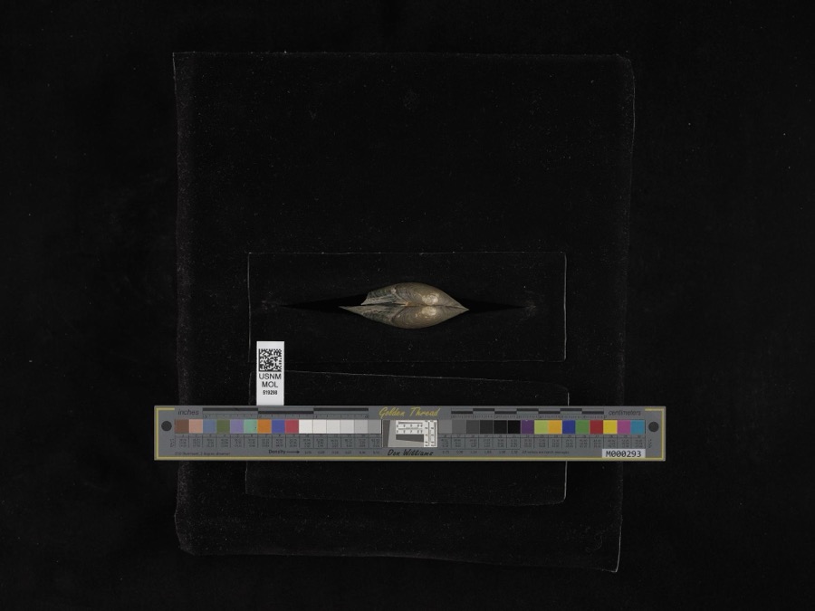
Museum specimens collected inside this
county and catalogued with a date and a place: 1,278 of them, by
kingdom 905 animalia, 324 plantae, 42 fungi, 5 unrecorded, 1 bacteria. Each is a physical object in a named collection, not a
sighting. Held by Cleveland Museum of Natural History, OH (CLEV), CM, Ohio State University - Fish Division, Columbus, OH (OSUM), USNM, UMMZ, OSUC among others, and each settlement page carries
the specimens collected near it.
The oldest of them. A specimen proves
something was collected on that day; its absence proves nothing.
History of Portage County, Ohio devotes a chapter to each township:
its boundaries and streams, who settled it and when, the mills, the
schools and the churches. All 22 are reproduced here in full. Each row
shows the township's own shape and where it lies in the county, drawn from
the Census Bureau's boundary. Which settlements belong to which township
is computed from that same boundary, not taken from the book.
Everyone History of Portage County, Ohio stops to write about, with
the section that describes them. Among them are the men who founded the
place and governed the Territory. Each name opens the passage itself, in
the words of 1885.
Named settlements recorded in the Geographic Names
Information System, each with the topographic sheets covering it. Villages,
hamlets and abandoned places alike. Each is shown with the watercourse or
landform it stands on and the survey quadrangle it falls on. The 4
places that were also surveyed for fire insurance come first, with the
number of atlases and photographs held for them.
The complete index, with nothing left out.
Each of these is a separate record with its own page: a federal survey
report, or the case file that argued a property on to the National
Register. Both are public domain and reproduced word for word.
Topographic sheets. USGS Historical Topographic Map Collection, county index, measured from the bulk metadata.
Fire insurance maps. Library of Congress Sanborn collection, faceted to this county.
Photographs. Each place queried individually against the Library of Congress Prints and Photographs search.
Wildfire. Short, Karen C. 2022. Spatial wildfire occurrence data for the United States, 1992-2020 [FPA_FOD_20221014]. 6th Edition. Fort Collins, CO: Forest Service Research Data Archive. https://doi.org/10.2737/RDS-2013-0009.6 Collected with United States Government funding and usable without additional permissions or fees.
Specimens. Global Biodiversity Information Facility (GBIF), https://www.gbif.org/. Only records licensed CC0 or CC BY are used. Records licensed CC BY-NC are excluded because this site carries advertising. Images are checked individually and any whose licence is non-commercial, no-derivatives or unreadable is refused.
Mines and quarries. USGS Mineral Resources Data System (MRDS) https://mrdata.usgs.gov/mrds/ A work of the United States government, no copyright under 17 U.S.C. 105.
Storms. NOAA National Centers for Environmental Information, Storm Events Database https://www.ncei.noaa.gov/stormevents/ A work of the United States government, no copyright under 17 U.S.C. 105. Narratives are quoted verbatim from the National Weather Service report and are not edited or summarised.
 Block
Block