 Block
Block
Aultman, Ohio
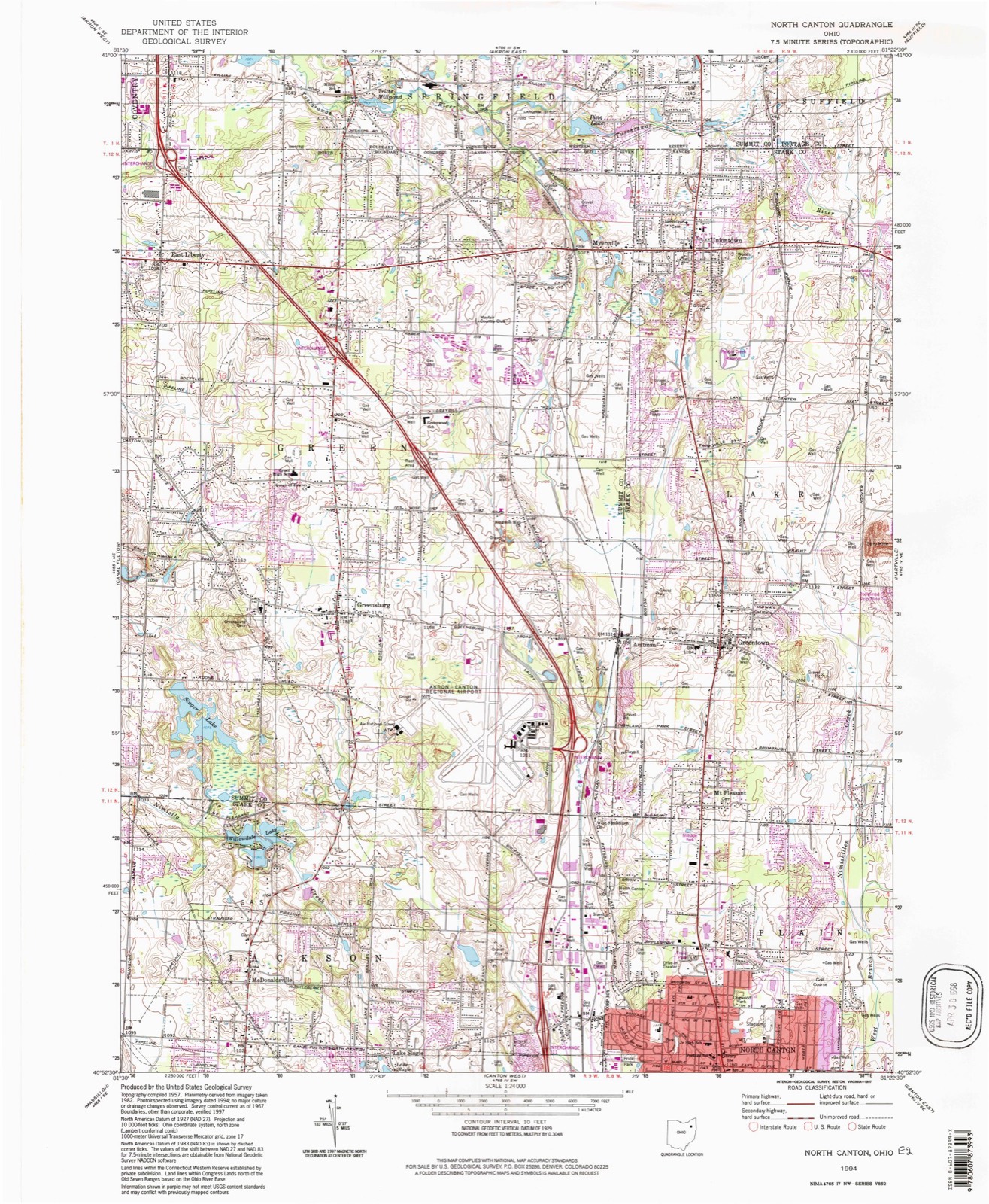
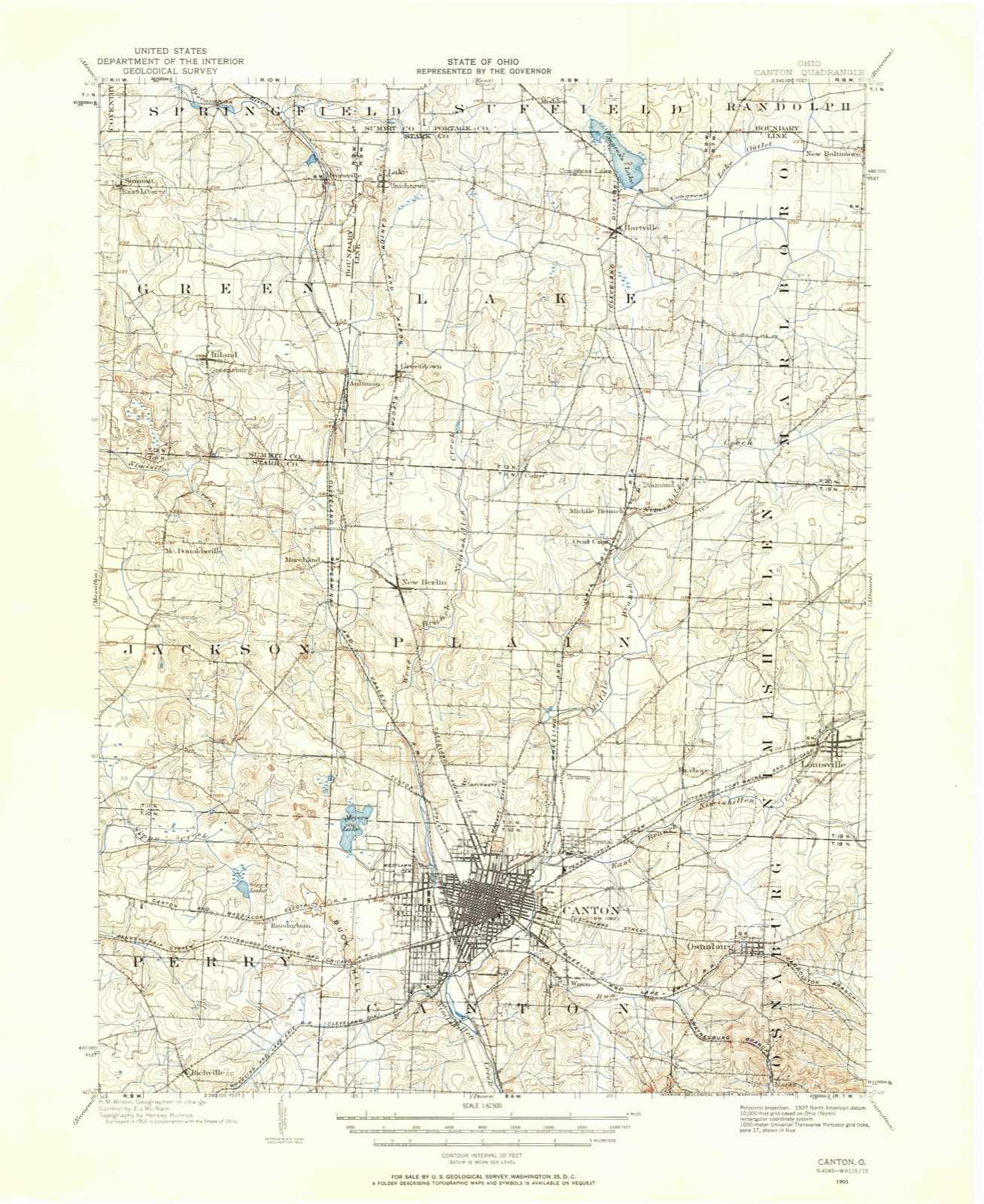
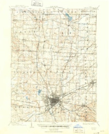
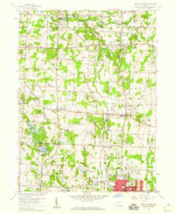
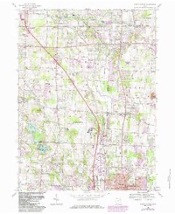
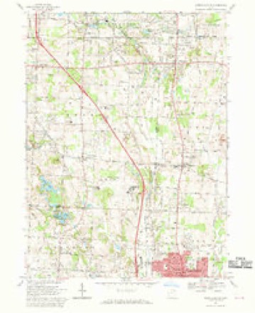
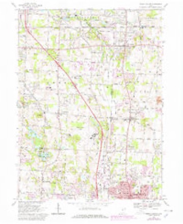
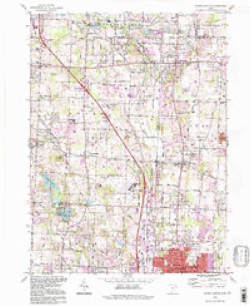
17 topographic sheets cover this place, the earliest surveyed in 1901 and the latest in 1994. It stands in Lake Township. It lies in ZIP code area 44720. The Survey maps it on the North Canton quadrangle.
Then and now
1901 to 1994The same ground, surveyed 93 years apart. Drag the handle to wipe between them. Both sheets are United States Geological Survey originals; neither has been altered.
Topographic sheets covering this place
17 sheetsMatched by testing this settlement's coordinate against the published boundary of every sheet in the United States Geological Survey's historical collection. Each opens the scanned sheet at the Survey.
- 1901 USGS Canton quadrangle1:62500
- 1903 USGS Canton quadrangle1:62500
- 1903 USGS Canton quadrangle1:62500
- 1951 USGS Canton quadrangle1:250000
- 1953 USGS Canton quadrangle1:250000
- 1957 USGS Canton quadrangle1:250000
- 1957 USGS Canton quadrangle1:250000
- 1957 USGS Canton quadrangle1:250000
- 1958 USGS North Canton quadrangle1:24000
- 1962 USGS Canton quadrangle1:250000
- 1962 USGS Canton quadrangle1:250000
- 1967 USGS North Canton quadrangle1:24000
- 1967 USGS North Canton quadrangle1:24000
- 1967 USGS North Canton quadrangle1:24000
- 1986 USGS Canton quadrangle1:100000
- 1986 USGS Canton quadrangle1:100000
- 1994 USGS North Canton quadrangle1:24000







Specimens collected nearby
12 of 404 shownMuseums hold 404 specimens collected within 10 miles of Aultman between 1836 and 1975: 342 Animalia, 53 Plantae, 5 Unrecorded, 3 Fungi, 1 Protozoa. 12 distinct Species records are shown. Collected by A. W. Cusick, A.M. Rogers, Allen, John and others. Each is a physical object with a catalogue number, and each entry opens the museum's record. This is what was collected and kept, not a survey of what lives here - nothing can be concluded from a species being absent.
| Image | Species | Year | Collected by | Where, as recorded |
|---|---|---|---|---|
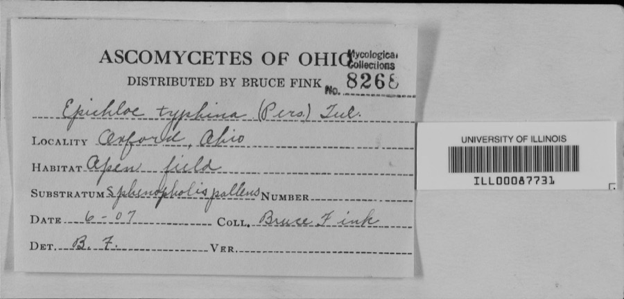 | unnamed | 1907 | Bruce Fink | |
 | Carex granularis Muhl. ex Willd. | 1836 | Collector unknown | Canton |
 | Carex intumescens Rudge | 1836 | Collector unknown | Canton |
 | Ectopistes migratorius (Linnaeus, 1766) | 1875 | not recorded | No specific locality recorded. |
 | Archilochus colubris (Linnaeus, 1758) | 1885 | Bulley, R. H | Canton |
 | Dumetella carolinensis (Linnaeus, 1766) | 1885 | Bulley, R. H | Canton |
 | Hylocichla mustelina (Gmelin, 1789) | 1885 | Bulley, R. H | Canton |
 | Icterus galbula (Linnaeus, 1758) | 1885 | not recorded | Canton |
 | Melospiza georgiana (Latham, 1790) | 1885 | Bulley, R. H | Canton |
 | Molothrus ater ater (Boddaert, 1783) | 1885 | Bulley, R. H | Canton |
 | Picoides pubescens medianus (Swainson, 1832) | 1885 | Bulley, R. H | Canton |
 | Pooecetes gramineus (J.F.Gmelin, 1789) | 1885 | Bulley, R. H | Canton |
All 404 specimens within 10 miles, at the Global Biodiversity Information Facility.
Mines and quarries nearby
10 of 16 shownThe federal mineral resources record lists 16 workings within 5 miles of Aultman: 8 producers, 5 past producers, 3 plants. 11 still produce. What was taken out: Sand and Gravel, Construction, Limestone, General, Stone, Crushed/Broken. Distance is straight-line from the map coordinates, so a quarry counted here may appear on a neighbouring settlement's page as well.
| Where | Site | Commodity | Status | Recorded |
|---|---|---|---|---|
| East Ohio Limestone Co. Quarry | Limestone, General | Past Producer | Sedimentary | |
| East Ohio Quarry | Stone, Crushed/Broken | Producer | ||
| Central Allied Pit Number 2 | Sand and Gravel, Construction | Past Producer | Sedimentary | |
| Central Allied Pit Number 2 | Sand and Gravel, Construction | Producer | ||
| Greensburg Pit | Sand and Gravel, Construction | Producer | ||
| Greensburg Sand & Gravel Mine | Sand and Gravel, Construction | Producer | ||
| Hartville Pit & Plant | Sand and Gravel, Construction | Plant | ||
| Heiser Sand and Gravel Pit | Sand and Gravel, Construction | Past Producer | Sedimentary | |
| Heiser Sand and Gravel Pit | Sand and Gravel, Construction | Producer | ||
| Knight Plant & Pit | Sand and Gravel, Construction | Plant |
Storms nearby
2 since 2011The National Weather Service names Aultman in 2 storm reports between 2011 and 2017: 1 flash flood, 1 flood. No death or injury is recorded in these reports. Each account below is quoted exactly as the forecast office filed it, from the NOAA Storm Events Database, and each date opens the federal record of that event.
| When | Event | Place named | Harm | What the report says |
|---|---|---|---|---|
| July 2011 | Flash Flood | Aultman | $2,000,000 | The Nimishillen Creek, a tributary for the Tuscarawas River, reached major flood stage at the gage site in North Industry. For the Nimishillen Creek, the majority of the rainfall fell over the western branch. The west branch sub-watershed begins in Lake Township in northern Stark and near the Akron-Canton Regional Airport in the City of Green in Summit County. Almost five inches of rain fell over the headwaters of the west branch that night, all of which drains into North Canton. A major tributary to the west branch is Zimber Ditch which begins around the Akron-Canton Airport and also flows directly south paralleling I-77 into Jackson Township. Zimber Ditch has experienced more frequent flood problems over the last decade due to continued urban and suburban growth in the basin. Flooding along the Zimber Creek this event was responsible for a significant amount of the flood damage resulting in North Canton and downstream communities. The NWS forecast point for the Nimishillen Creek is located south of Canton in North Industry. By the time this site crested, the flooding was beginning to recede in Canton. By 9:00 AM the reported stage was of 11.14 FT and a flow over 6000 cfs, or major flood category. This was the fifth highest flow for this gage site since records began in 1921. Overal several hundreds of homes and businesses were flooded necessitating evacuations and moving residents into shelters which were opened earlier in response to the excessive heat the day before. A number of water rescues were conducted, but no reports of injuries or fatalities. |
| November 2017 | Flood | Aultman | $2,000 | Two rounds of rain moved over Stark County on the 18th. The first round during the morning produced around an inch to an inch and a half of rainfall. The second round in the afternoon and evening brought an additional inch to inch and a half. Rainfall reports in the county showed around two inches in the north and west, and over three inches in Canton east and south. The resultant flooding was minor in Canton with flooding on the Zimber Ditch where there were reports of some basement flooding on Furbee and Lucille Avenues, with water approaching businesses on Whipple Avenue Northwest. East of Canton in Louisville the East Branch of the Nimishillen Creek came out of banks flooding State Rt. 153 and Constitution Ave. The most notable flooding was in the southeast part of the county where at 10 pm through 3 am water from the Sandy Creek inundated basements and surrounded homes in Waynesburg on Oakhurst, Grovedale, Broadford Streets, and flooding State Rt 183. Rainfall total estimates in this area were close to four inches. Water backed up into a mobile home park on Cleveland Southwest Avenue in Canton Township from the Nimishillen Creek. North Industry High School recreational grounds inundated with several feet of water. |
Nearest settlements
The eight closest, with where each one stands in the county. Distances are straight-line, computed from the Geographic Names Information System coordinates.
| Map | Place | Distance | Sheets |
|---|---|---|---|
| Greentown | 0.8 miles | 17 | |
| Mount Pleasant | 1.6 miles | 17 | |
| Tower Terrace | 2.7 miles | 17 | |
| Uniontown | 3.3 miles | 17 | |
| Marchand (historical) | 3.3 miles | 17 | |
| Cairo | 3.4 miles | 19 | |
| North Canton | 3.7 miles | 17 | |
| Lake Slagle | 4.0 miles | 17 |
Provenance
This settlement is recorded in the Geographic Names Information System as feature 1037542. The sheet list is computed by point-in-boundary test against the United States Geological Survey's historical topographic inventory. Both are works of the United States government and carry no copyright under 17 U.S.C. 105.
Specimens. Global Biodiversity Information Facility (GBIF), https://www.gbif.org/. Only records licensed CC0 or CC BY are used. Records licensed CC BY-NC are excluded because this site carries advertising. Images are checked individually and any whose licence is non-commercial, no-derivatives or unreadable is refused.
Mines and quarries. USGS Mineral Resources Data System (MRDS) https://mrdata.usgs.gov/mrds/ A work of the United States government, no copyright under 17 U.S.C. 105.
Storms. NOAA National Centers for Environmental Information, Storm Events Database https://www.ncei.noaa.gov/stormevents/ A work of the United States government, no copyright under 17 U.S.C. 105. Narratives are quoted verbatim from the National Weather Service report and are not edited or summarised.