 Block
Block
Bainbridge, Ohio
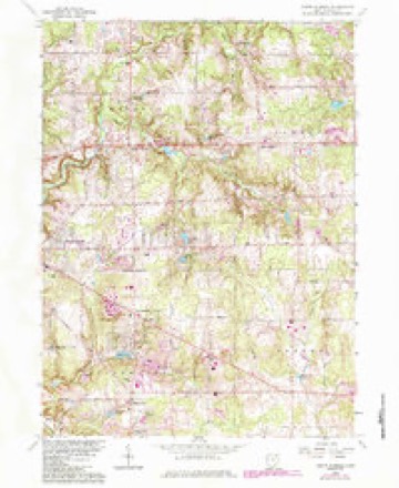
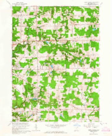
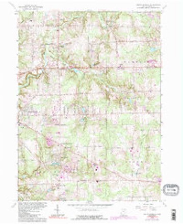
15 topographic sheets cover this place, the earliest surveyed in 1906 and the latest in 1994. It stands in Bainbridge Township. It lies in ZIP code area 44023. The Survey maps it on the South Russell quadrangle. 9,242 people lived here at the 2020 count. It stands 1,165 feet above sea level.
Population over time
3 figuresBainbridge grew from 3,417 to 9,242 between 2000 and 2020. These are the recorded population figures Wikidata holds for this place, reached through the Geographic Names Information System number this page is keyed on rather than by name, so they belong to this place and not to another of the same name. Most are census counts, but not all are: an early figure may be a founding or settlement estimate. The change column is computed, and is left blank where more than 20 years separate a figure from the one before it, because a gap that long is not a change between two counts.
| Year | People | Change |
|---|---|---|
| 2000 | 3,417 | |
| 2010 | 3,267 | -150 (-4%) |
| 2020 | 9,242 | +5,975 (+183%) |
Then and now
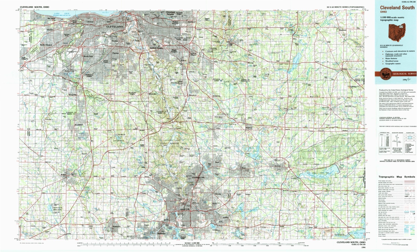
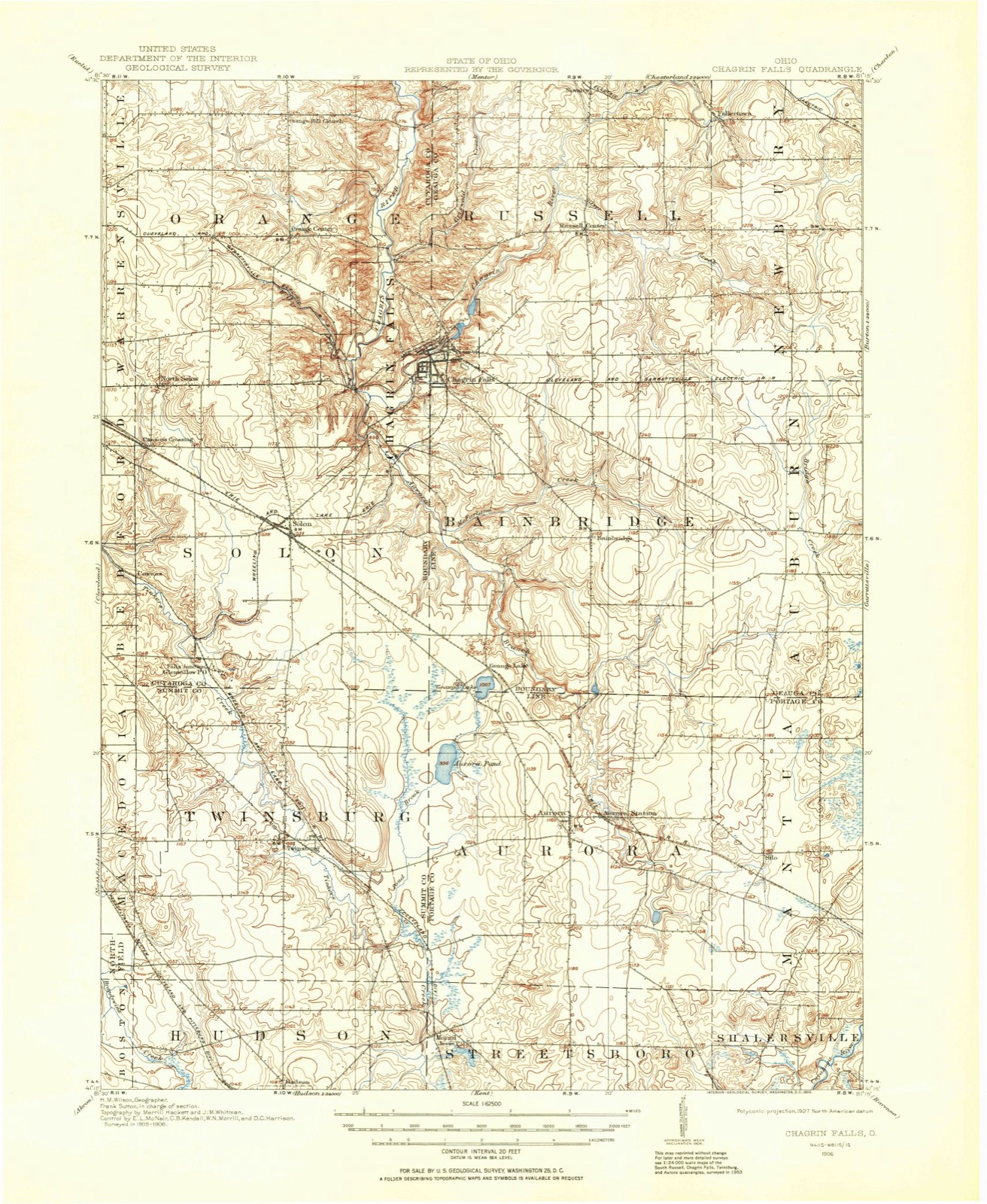
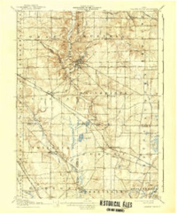
1906 to 1994The same ground, surveyed 88 years apart. Drag the handle to wipe between them. Both sheets are United States Geological Survey originals; neither has been altered.
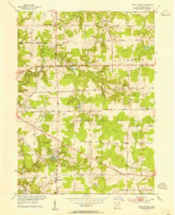
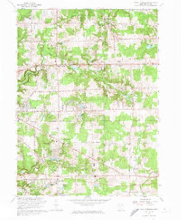
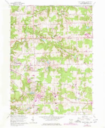
Topographic sheets covering this place
15 sheetsMatched by testing this settlement's coordinate against the published boundary of every sheet in the United States Geological Survey's historical collection. Each opens the scanned sheet at the Survey.
- 1906 USGS Chagrin Falls quadrangle1:62500
- 1908 USGS Chagrin Falls quadrangle1:62500
- 1908 USGS Chagrin Falls quadrangle1:62500
- 1953 USGS South Russell quadrangle1:24000
- 1956 USGS Cleveland quadrangle1:250000
- 1956 USGS Cleveland quadrangle1:250000
- 1956 USGS Cleveland quadrangle1:250000
- 1962 USGS Cleveland quadrangle1:250000
- 1963 USGS South Russell quadrangle1:24000
- 1963 USGS South Russell quadrangle1:24000
- 1963 USGS South Russell quadrangle1:24000
- 1963 USGS South Russell quadrangle1:24000
- 1963 USGS South Russell quadrangle1:24000
- 1986 USGS Cleveland South quadrangle1:100000
- 1994 USGS Cleveland South quadrangle1:100000






In the county-history sources
23,659 words on this townshipPioneer and General History of Geauga County, with Sketches of Some of the Pioneers and Prominent Men, published 1880 names this settlement in its chapter on Bainbridge Township. These are the passages that mention it, exactly as the scans read.
The main branch of the Chagrin river enters the town from the south a short distance west of the center line, its source being the Harmon pond in Aurora. It continues its course northerly, and leaves the town on the west line north of the center line, continuing to run northerly to Lake Erie. A tributary of the Chagrin runs through the south part of Auburn and Bainbridge, leaving the latter at Centerville Mills, about one hundred rods from its confluence with the main branch in Aurora.
Passage source: Pioneer and General History of Geauga County, with Sketches of Some of the Pioneers and Prominent Men, published 1880.
Another tributary known as the Plumb Bottom creek (it derived its name from the great number of wild plumb trees which formerly grew along its margin), rises at a spring a few rods we$t of the west line of Auburn, near the road leading from Auburn to Bainbridge, thence running westerly to its confluence with the main branch at a point directly west of where it rises. Nearly all the streams and the tributaries in the township are the outflow of pure springs which issue from the fissures of the drift rock, which underlies the town. So numerous are the springs that few farms lack a supply of pure spring water.
Passage source: Pioneer and General History of Geauga County, with Sketches of Some of the Pioneers and Prominent Men, published 1880.
At a meeting of the county commissioners held at Chardon on the first Monday of March, 1817, township number six, in the ninth range, was given the name of Bainbridge, which included what was susequently called Auburn. When the separation from Auburn took place is not positively known. The chattel tax duplicate of 1817 contains names of tax payers who then resided in Bainbridge, which included the territory which is now Auburn, and in 1818 those names were separated, and are in Auburn and Bainbridge townships. Hence I conclude the separation took place in the summer of 1817.
Passage source: Pioneer and General History of Geauga County, with Sketches of Some of the Pioneers and Prominent Men, published 1880.
Machine-read from a century-old scan, so expect the errors a machine makes: misspelled names, dropped words, stray characters.
Read the whole chapter on Bainbridge Township - it names this place 67 more 67 times.
Specimens collected near this place
12 of 2,013 shownRegional context, not property-specific evidence. Museums hold 2,013 specimens collected within 10 miles of Bainbridge between 1893 and 1975: 1,981 Animalia, 25 Plantae, 7 Fungi. 12 distinct Species records are shown. Collected by A. Hoenigman, A. M. Evans, A. Woolman and others. Each is a physical object with a catalogue number, and each entry opens the museum's record. This is what was collected and kept, not a survey of what lives here - nothing can be concluded from a species being absent.
| Image | Species | Year | Collected by | Where, as recorded |
|---|---|---|---|---|
 | Etheostoma caeruleum Storer, 1845 | 1893 | A. Woolman | Aurora Branch, Chagrin River, Ohio |
 | Etheostoma nigrum Rafinesque, 1820 | 1893 | A. Woolman | Aurora Branch, Chagrin River, Ohio |
 | Nocomis micropogon (Cope, 1865) | 1893 | A. Woolman | Aurora Branch, Chagrin River, Ohio |
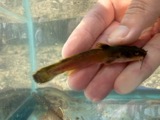 | Noturus flavus Rafinesque, 1818 | 1893 | A. Woolman | Aurora Branch, Chagrin River, Ohio |
 | Rhinichthys atratulus (Hermann, 1804) | 1893 | Woolman | Aurora branch of Chagrin River, Ohio |
 | Galba Schrank, 1803 | 1904 | Collector(s): Joel Asaph Allen | Chagrin River, Geauga Lake |
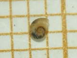 | Menetus dilatatus (A.Gould, 1841) | 1904 | Allen, John | Geauga Lake |
 | Pseudosuccinea columella (Say, 1817) | 1906 | Collector(s): Joel Asaph Allen | Geauga Lake, nearby pool |
 | Buteo jamaicensis borealis (Gmelin, 1788) | 1907 | Frank R. Flower | Chester |
 | Acronicta dactylina Grote, 1874 | 1908 | Teraguchi, S. (Sonja) | OH Geauga Co. Troy Twp. Snow Lake |
| Galba obrussa (Say, 1825) | 1908 | Collector(s): Joel Asaph Allen | Geauga Lake, second pool nearby | |
| Lyogyrus walkeri (Pilsbry, 1898) | 1909 | Allen, John | Geauga Lake |
All 2,013 specimens within 10 miles, at the Global Biodiversity Information Facility.
Mines and quarries near this place
2 within 5 milesRegional context, not property-specific evidence. The federal mineral resources record lists 2 workings within 5 miles of Bainbridge: 2 producers. All of them still produce. What was taken out: Sand and Gravel, Construction. Distance is straight-line from the map coordinates, so a quarry counted here may appear on a neighbouring settlement's page as well.
| Where | Site | Commodity | Status | Recorded |
|---|---|---|---|---|
| Haueter Pit | Sand and Gravel, Construction | Producer | ||
| Set Silica Sand Inc Pit | Sand and Gravel, Construction | Producer |
Storms near this place
27 since 1995Regional context, not property-specific evidence. The National Weather Service names Bainbridge in 27 storm reports between 1995 and 2026: 16 thunderstorm wind, 6 hail, 3 flash flood, 1 lightning. No death or injury is recorded in these reports. Each account below is quoted exactly as the forecast office filed it, from the NOAA Storm Events Database, and each date opens the federal record of that event.
| When | Event | Place named | Harm | What the report says |
|---|---|---|---|---|
| November 2017 | Thunderstorm Wind | Bainbridge | $800,000 | Thunderstorm downburst winds gusted to as much as 85 mph and caused extensive damage across the southern tier of townships in Geauga County. Sporadic damage was also reported further north in the county. The damage began west of Bainbridge at the county line and continued east to the Parkman area. The damage was most concentrated in the Bainbridge area. Hundreds of trees were snapped or uprooted and many utility poles were damaged. Many homes lost roofing or siding and several others were damaged by fallen trees. There were reports of road closures because of fallen trees and lines. A tower at the Auburn Township Fire Department was toppled by the strong winds. Just to the east in Troy Township, a moving vehicle was struck by a falling tree trapping the occupant. No serious injuries were reported. Power outages were widespread and in some cases took several days to be restored. Some of the school districts in Geauga County closed on November 6th because of power outages. |
| July 2015 | Flash Flood | Bainbridge | $225,000 | Heavy rainfall caused flash flooding from Bainbridge Township north to Novelty. Silver Creek came out of its banks in Novelty and flooded the Copaw Cabana Kennel where three people and 12 dogs had to be rescued around 4 pm. Another water rescue occurred on Snyder Road where a woman's car was moved by water. Rushing water entered the Chagrin Valley Roller Rink south of Chagrin Falls in Geauga County with rushing water of 3 to 4 feet deep on nearby Cedar and South Streets. Numerous roads were closed in Bainbridge including Ohio Route 306, Haskins Road, Snyder Road under 422, Bainbridge Road and East Washington. Tanglewood Lake overflowed and reached the secondary spillway, also flooding the Tanglewood Golf Club causing damage to at least 2 holes. Lake Lucerne Dam was in danger of breaching and water overflowing the lake reached homes downstream with numerous flooded basements. One observation from South Russell indicated 2.91 inches of rain fell, mostly between 1 and 4 pm. The Aurora Branch of the Chagrin River was overwhelmed and flooded area roads in northern Aurora including State Route 306, Treat Road, and Crackel Roads. The flowing water damaged some of the pavement which needed to be replaced. |
| July 2005 | Flash Flood | Bainbridge | $200,000 | no account filed |
| June 1996 | Lightning | Bainbridge | $200,000 | no account filed |
| August 2023 | Tornado (EF1) | Bainbridge | $85,000 | A tornado with estimated peak winds of 90 mph impacted Bainbridge. This tornado began in the western part of Laurel Springs subdivision and tracked east-southeastward from there. The subdivision experienced extensive tree damage in the form of two uprooted trees falling onto homes and at least 100 trees downed, twisted, and snapped in different directions. Farther along the tornado's track, several power poles and trees were downed, respectively, before the tornado dissipated near the intersection of Taylor May and Haskins Roads. One of the downed trees landed on a home along Taylor May Road. |
| June 2025 | Thunderstorm Wind | Bainbridge | $82,000 | Numerous large trees downed in the Lake Lucerne area of Bainbridge. At least four homes were damaged by the downed trees and at least one utility pole was downed. |
| April 2003 | Thunderstorm Wind | Bainbridge | $35,000 | Thunderstorm winds downed a large tree. The tree landed on a house and caused significant structural damage. |
| July 2016 | Thunderstorm Wind | Bainbridge | $12,000 | Several reports of tree and other related wind damage was relayed from the Bainbridge 911. |
| May 2015 | Thunderstorm Wind | Bainbridge | $12,000 | Bainbridge Police reported a couple trees brought down by strong thunderstorm winds on Country Lane and Geauga Lake Rd. in Bainbridge Township. Power lines were also down across Kinsman Road in Burton. |
| May 2015 | Thunderstorm Wind | Bainbridge | $10,000 | Dispatch reported trees down in Bainbridge. |
| July 2015 | Thunderstorm Wind | Bainbridge | $10,000 | Thunderstorm winds downed trees and power lines in the Bainbridge area. |
| June 2002 | Thunderstorm Wind | Bainbridge | $10,000 | Thunderstorm winds downed trees near Bainbridge and just north of Welshfield. |
| January 2012 | Thunderstorm Wind | Bainbridge | $5,000 | Thunderstorm winds blew down a traffic light at the Intersection of U.S. Route 422 and State Route 306. |
| July 1995 | Thunderstorm Wind | Bainbridge | $4,000 | Trees were downed. |
| February 1997 | Flash Flood | Bainbridge | $2,000 | no account filed |
| June 2024 | Thunderstorm Wind | Bainbridge | $1,200 | Tree and power pole downed at intersection of Lucerne Road and OH-306 in Bainbridge. |
| August 2005 | Thunderstorm Wind | Bainbridge | $1,000 | A tree and a large limb was reported down. |
| April 2026 | Hail | Bainbridge | - | Accumulating hail up to quarter-size in Bainbridge. |
| April 2026 | Hail | Bainbridge | - | Hail up to golf ball-size about two-miles northwest of Bainbridge. |
| June 2025 | Thunderstorm Wind | Bainbridge | - | Downed tree blocked Geauga Lake Road, at Bainbridge Road, in Bainbridge. |
| May 2022 | Thunderstorm Wind | Bainbridge | - | Trees downed in Bainbridge. |
| August 2021 | Thunderstorm Wind | Bainbridge | - | Tree branch downed near the intersection of Charles and Snyder Roads, about two-miles southeast of Bainbridge. A tree was downed near the intersection of OH-44 and Starbush Court in Auburn Township. |
| June 2020 | Hail | Bainbridge | - | Pea to penny-size hail reported five miles east of Bainbridge. |
| January 2019 | Thunderstorm Wind | Bainbridge | - | A large tree was blown down on Quinn Road in Auburn Township. |
| May 2017 | Hail | Bainbridge | - | Nickel sized hail was observed. |
| August 2011 | Hail | Bainbridge | - | Quarter sized hail was observed. |
| May 2006 | Hail | Bainbridge | - | Penny size hail was observed. |
Nearest settlements
The eight closest, with where each one stands in the county. Distances are straight-line, computed from the Geographic Names Information System coordinates.
| Map | Place | Distance | Sheets |
|---|---|---|---|
| Beacon Hill | 0.7 miles | 15 | |
| Lake Lucerne | 1.3 miles | 15 | |
| McFarlands Corners | 1.7 miles | 15 | |
| Spring Valley | 2.1 miles | 17 | |
| Taborville | 2.9 miles | 17 | |
| Chagrin Falls Park | 3.1 miles | 17 | |
| Beartown | 3.3 miles | 17 | |
| South Russell | 3.4 miles | 15 |
Elsewhere
Matched on this settlement's Geographic Names Information System number rather than its name, so it cannot be a different place of the same name in another state.
| Wikipedia article on Bainbridge | An encyclopaedic summary. Its text is share-alike, so it is linked here rather than copied. |
| Wikidata item Q2088307 | The structured record the population and elevation above come from. Public domain (CC0). |
Provenance
This settlement is recorded in the Geographic Names Information System as feature 1064373. The sheet list is computed by point-in-boundary test against the United States Geological Survey's historical topographic inventory. Both are works of the United States government and carry no copyright under 17 U.S.C. 105.
Specimens. Global Biodiversity Information Facility (GBIF), https://www.gbif.org/. Only records licensed CC0 or CC BY are used. Records licensed CC BY-NC are excluded because this site carries advertising. Images are checked individually and any whose licence is non-commercial, no-derivatives or unreadable is refused.
Mines and quarries. USGS Mineral Resources Data System (MRDS) https://mrdata.usgs.gov/mrds/ A work of the United States government, no copyright under 17 U.S.C. 105.
Storms. NOAA National Centers for Environmental Information, Storm Events Database https://www.ncei.noaa.gov/stormevents/ A work of the United States government, no copyright under 17 U.S.C. 105. Narratives are quoted verbatim from the National Weather Service report and are not edited or summarised.