74 topographic sheets and 9 fire insurance
atlases across 1 place.
Research this county
This curated hub for Geauga County, Ohio brings together the page's documented record links, visible map or image evidence where published, and routes to related local records.
Use the page's provenance and linked records to distinguish the source material from the site's navigation and summaries.
How should I cite it?
Open the original record, preserve its repository and identifier, then use the citation tool for this page as a path back to the source.
Where should I go next?
Follow the county or state hub for related places and records, then use the guide for a source-aware research sequence.
From the record
“Prior to the organization of the township, all the able-bodied men, between the age of eighteen and forty-five, were required to go, twice a year, to Bondstown, (now Hambden), to perform military duty. James Wintersteen informed me, that on one of those occasions, when he and some others were returning in the evening to their homes, they had to pass through a piece of forest, in the west part of Montville, a panther followed them for a long distance.”
Military - Pioneer and General History of Geauga County, with Sketches of Some of the Pioneers and Prominent Men (1880). Machine-read text.
11 National Register listings · 16 businesses named in the fire insurance atlases from 1893 to 1911 · the 1880 county history tells 6 stories and names 37 people · people the book names include Henry F. Canfield (Chardon Township, 1880) · Almon B. Carlton (Burton Township, 1880) (machine-read).
Ohio within the United StatesGeauga County within Ohio
Explore by year
What the record shows
1 place in this county was surveyed for fire insurance: Chardon, between 1884 and 1933.
9 fire insurance atlas(es) survive for the county. Topographic coverage is national; fire insurance survey reached only incorporated places with something worth insuring.
776 topographic sheet readings cover the county's settlements.
11 properties here are on the National Register of Historic Places, including 5 houses and farms.
6 of the 11 listings were added during the 1970s.
The Geographic Names Information System records 54 populated places in this county; 0 are covered by at least one topographic sheet.
1 public-domain county history, 1880, supply 444,848 words of narrative reproduced here in full.
What happened here
6 accounts
A captivity, a drowning, a famine, a man
scalped clearing his lot in 1789. These are passages from Pioneer and General History of Geauga County, with Sketches of Some of the Pioneers and Prominent Men, written
while people who remembered the events were still alive, and each one
opens the section it comes from.
1880, Hambden Township
Additional Anecdotes And Incidents
Some time in the early settlement of the township, Deacon Pomeroy started in the morning to find his cattle, that had strayed away. He searched the forest through the east part of Hambden, through Thompson and Montville, but found them not. As he was coming home, darkness overtook him near where the Montville road crosses Bates creek, and, at the same time, a pack of hungry wolves, ^hich had probably been following his track for some time, waiting for the darkness, came upon him, with murderous intent.
At the conclusion of the reading, Mr. Bronson exhibited a bassoon, an instrument resembling a double-barreled shot gun, without the stock, used in military bands and orchestras one hundred years ago. This one is supposed to be the first one made in this country, and, in its early days, "went to meeting," and accompanied the hautboys and clarionets, carrying the bass.
On the morning of September 13, 1878, the Chagrin river rose higher than it had ever been known to rise before. It had been raining steadily for three days, the rain falling in torrents on the night of the twelfth. The destruction of property was very great Cattle, sheep, fences, fields of grain, mill-dams and bridges were swept away.
The first was built by Augustus Rose and Lucius Chatfield, who began carriage making. This shop, at last wras used for a plaining mill. An explosion occurred June 15th, 1867, which threw the boiler over the tops of trees and 20 rods away, carrying with it the body of Hiram Carlton, who was killed. Lawrence Huff was so badly injured that he died.
Until most of the wild animals were killed or driven away, the men and boys had generally a good rifle, and knew how to use them in killing small game, such as squirrels, partridges, and turkeys. To mutilate their bodies subjected such hunters to ridicule as being "greenhorns." The bullets of experts took effect only on the head of their game.
Prior to the organization of the township, all the able-bodied men, between the age of eighteen and forty-five, were required to go, twice a year, to Bondstown, (now Hambden), to perform military duty. James Wintersteen informed me, that on one of those occasions, when he and some others were returning in the evening to their homes, they had to pass through a piece of forest, in the west part of Montville, a panther followed them for a long distance.
Taken for the Office of War Information and
the Farm Security Administration, who photographed the country between
1935 and 1944. Works of United States government photographers, with no
known restriction on use. Each opens its catalogue record.
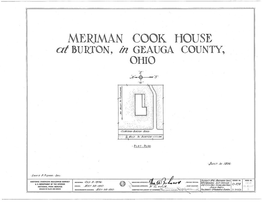
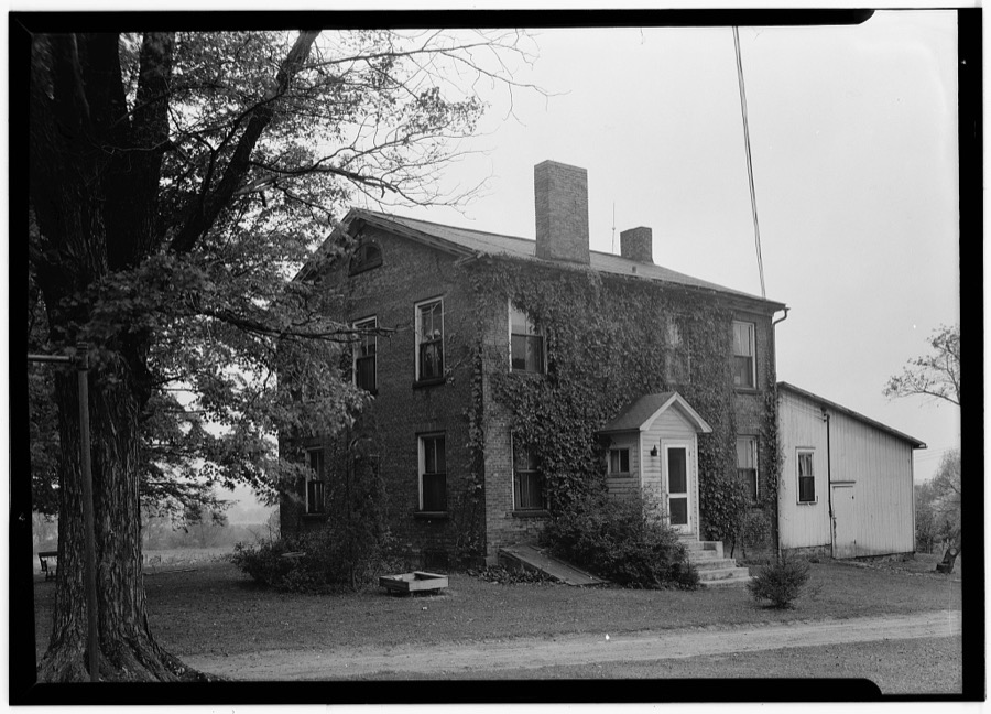
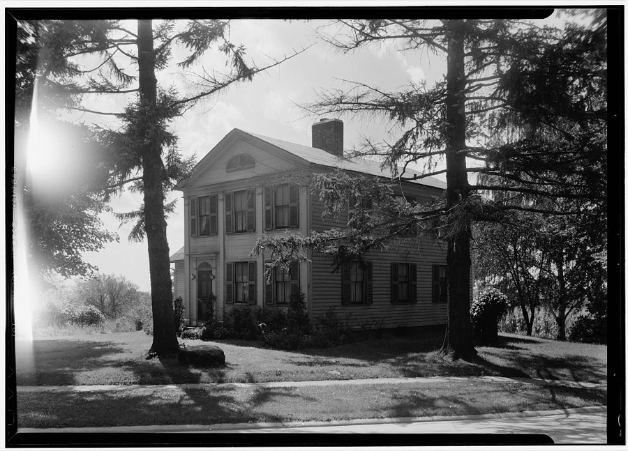
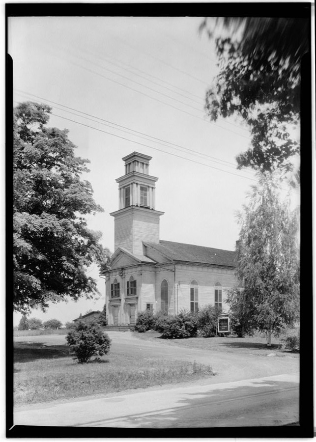
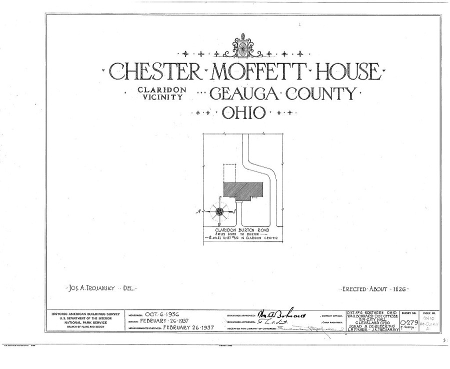
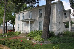
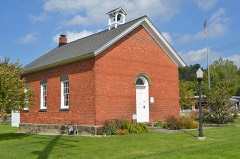
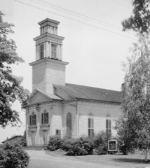
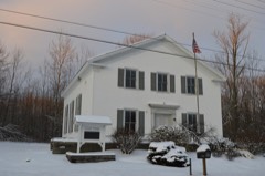
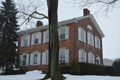
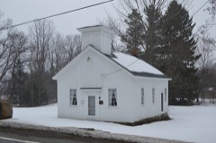
Meriman Cook House, Claridon & Burton Roads, Burton, Geauga County, OH Unattributed, . Library of CongressCorydon Taylor House, Taylor Road, Claridon, Geauga County, OH Unattributed, . Library of CongressLew Lawyer Residence, Burton, Geauga County, OH Unattributed, . Library of CongressCongregational Church, Route 85, Claridon, Geauga County, OH Unattributed, . Library of CongressChester Moffett House, Claridon, Geauga County, OH Unattributed, . Library of Congress
Places on the National Register
11
Every property in this county listed on the
National Register of Historic Places, with the year it was listed and the
federal nomination document.
Geauga County holds 0 covered bridges on
the National Register, more than any other property type here. Each is a listed
structure with a federal nomination on file.
Digitised newspapers
10 issues
Sampled issues, machine-read from the
Library of Congress scan and published page by page, so every headline
and column is searchable text.
The Jeffersonian Democrat
Chardon, Ohio, 1854 to 1865. Machine-read from the Library of Congress scan.
Drawn when these were printed as
single large sheets: the town seen from the air, and the county
divided into its farms with every owner named. Each opens the
original at the Library of Congress.
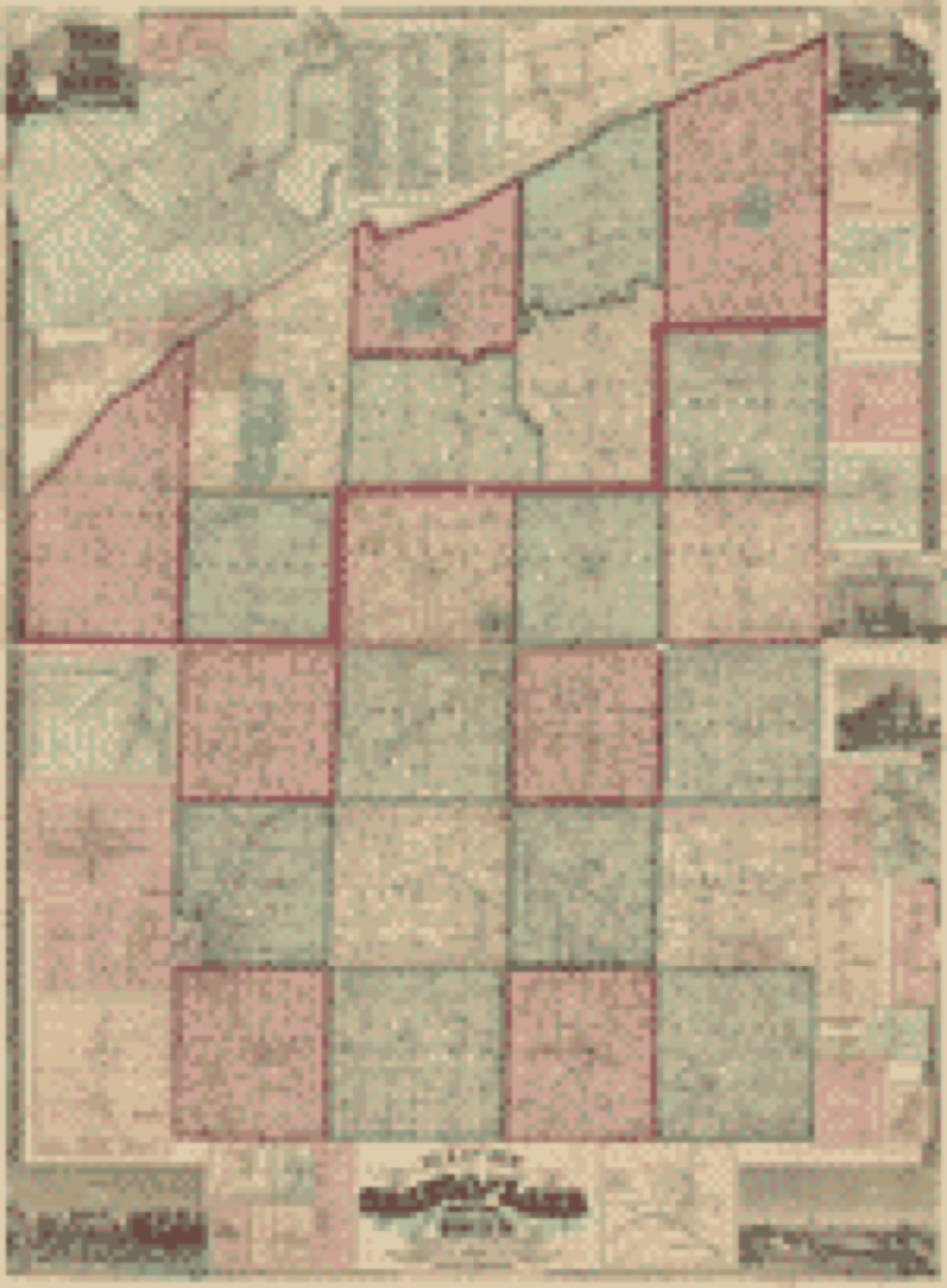
Land ownership map (1857) - Map of Geauga and Lake counties, Ohio. Library of Congress.
Photographs from libraries nationwide
5 shown
Selected from the Digital Public Library
of America's 5 image records catalogued for this county. Every
one shown here carries a public-domain status or a licence that permits
reuse on a site that carries advertising; non-commercial, share-alike
and restricted images are excluded. The selection is spread across the
county's towns (at most eight per town), so no single institution's
bulk upload crowds out the rest. Each opens the holding library's
record, and
the complete set at the
Digital Public Library of America is one click away.
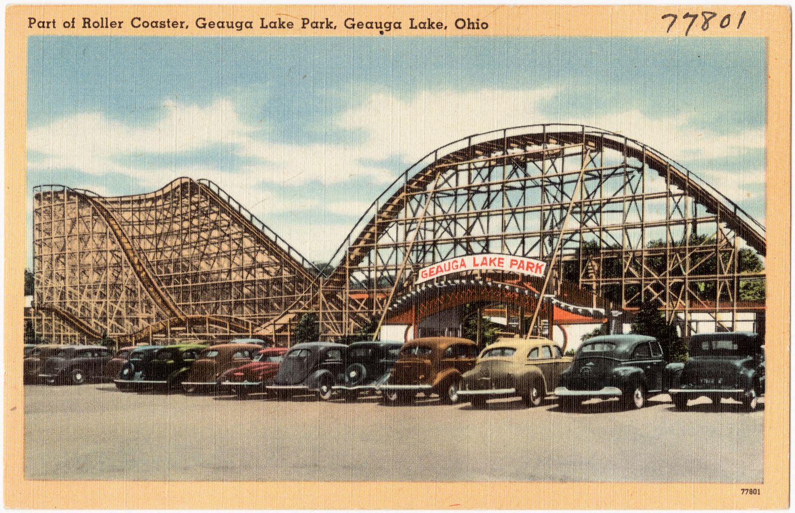
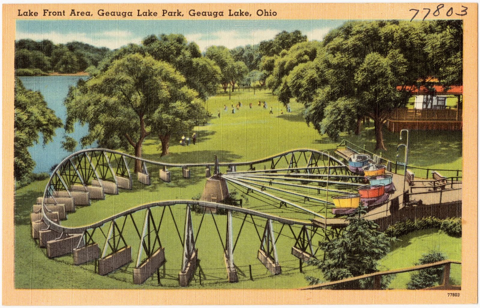
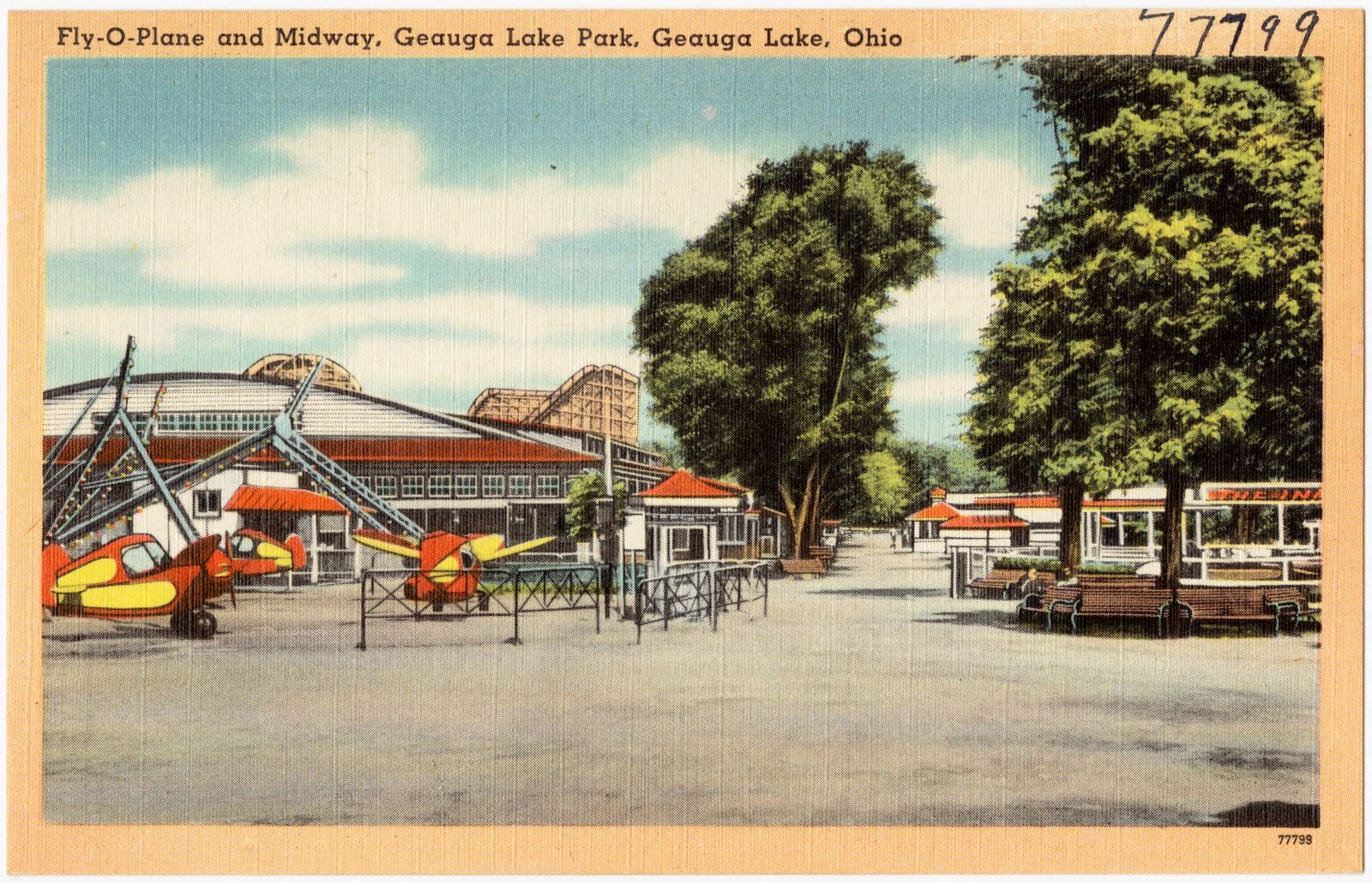
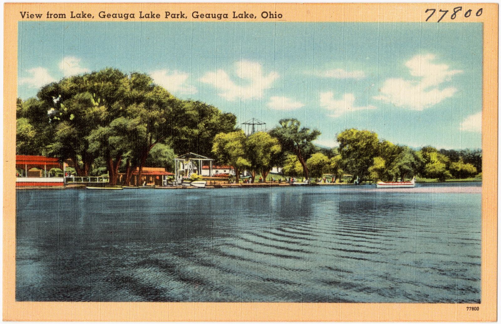
Part of roller coaster, Geauga Lake Park, Geauga Lake, Ohio. Boston Public Library, via the Digital Public Library of America.Lake front area, Geauga Lake Park, Geauga Lake, Ohio. Boston Public Library, via the Digital Public Library of America.Fly-O-Plane and Midway, Geauga Lake Park, Geauga Lake, Ohio. Boston Public Library, via the Digital Public Library of America.View from lake, Geauga Lake Park, Geauga Lake, Ohio. Boston Public Library, via the Digital Public Library of America.Picnic Pavilion and Kiddie Playland, Geauga Lake Park, Geauga Lake, Ohio. Boston Public Library, via the Digital Public Library of America.
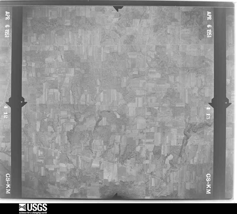
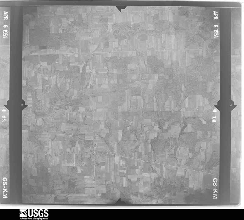
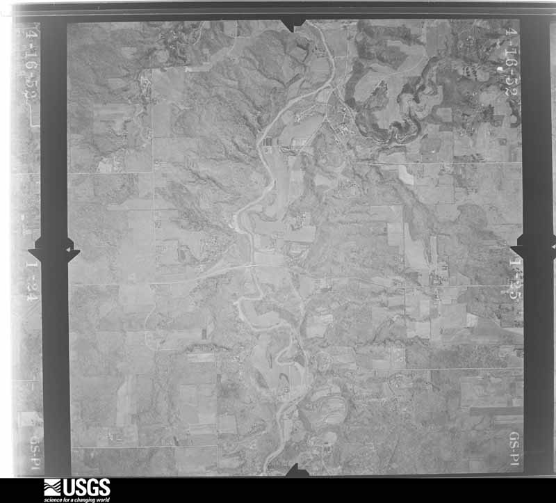
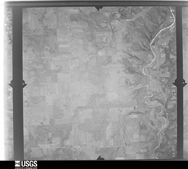
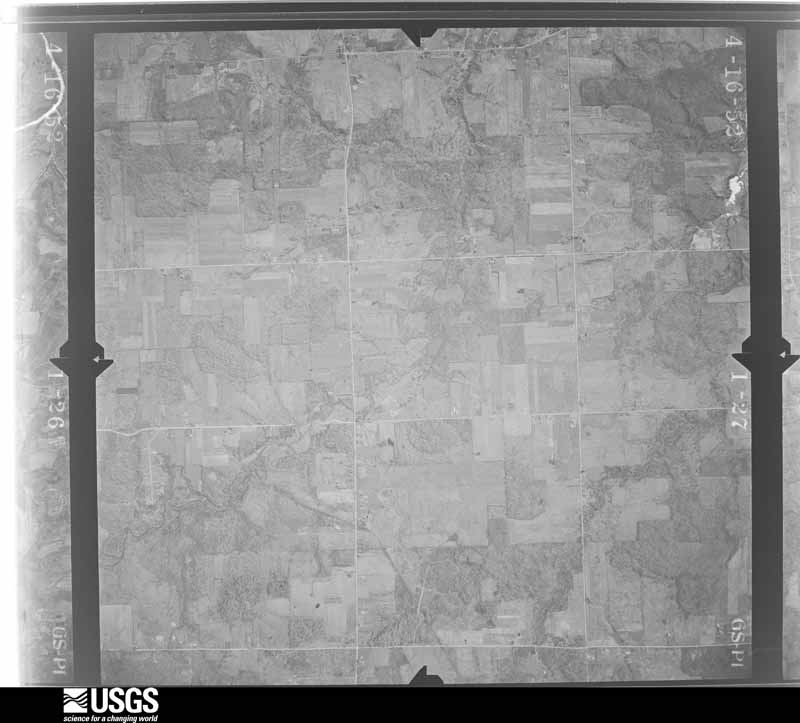
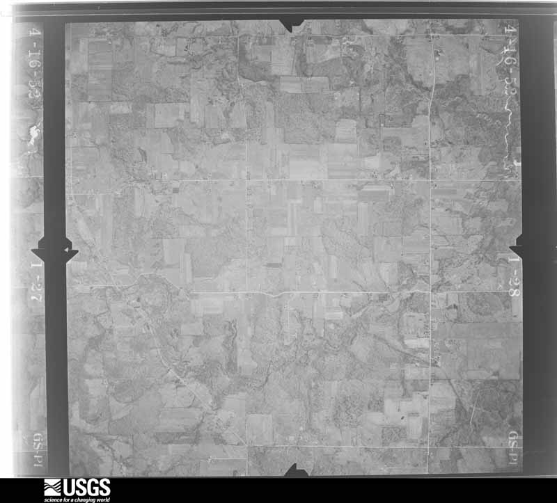
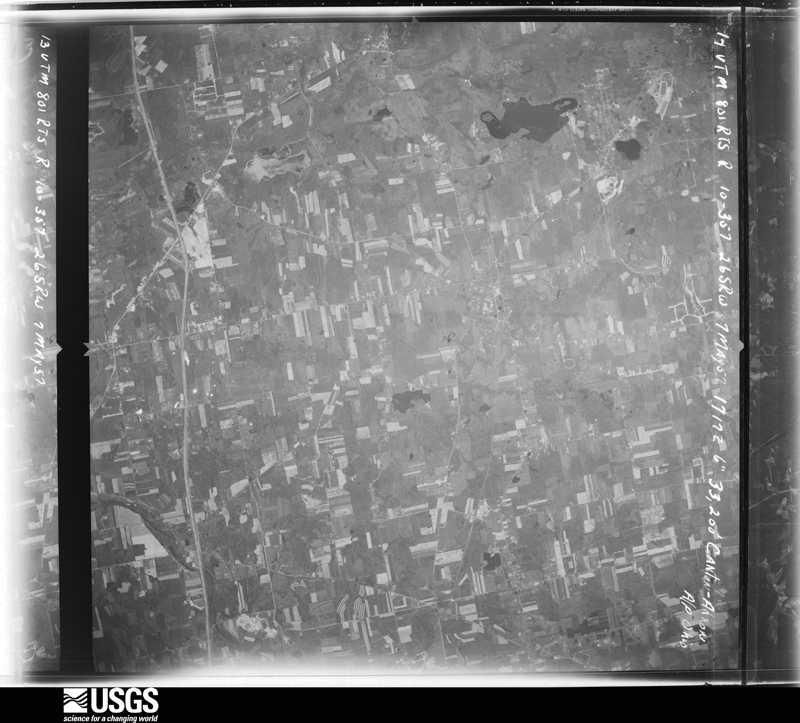
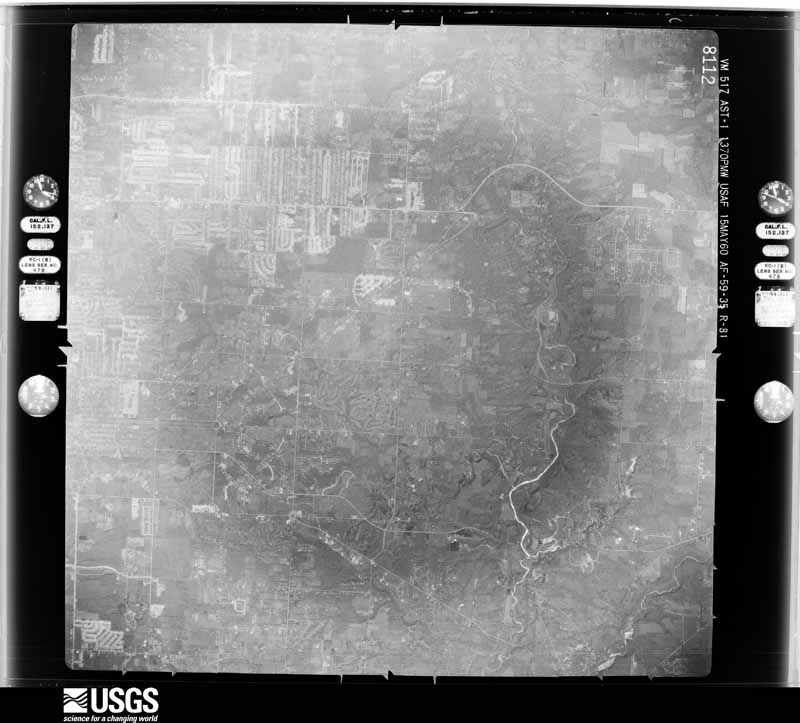
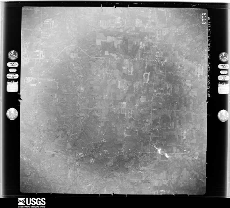
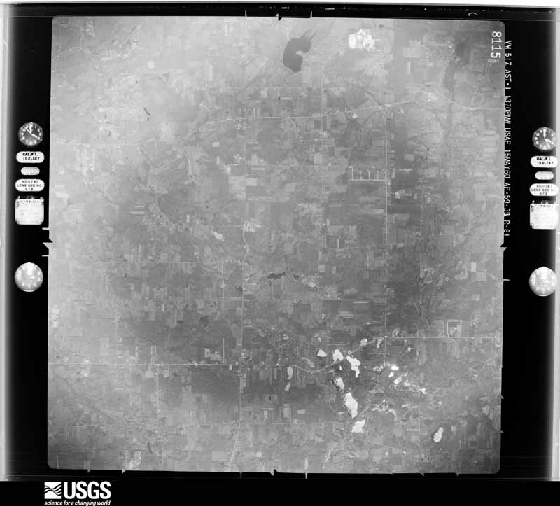
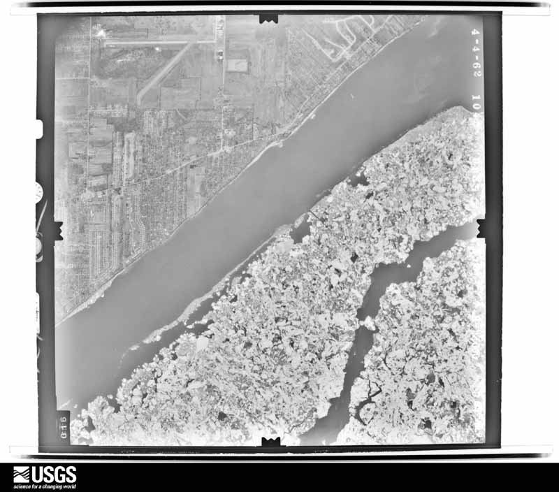
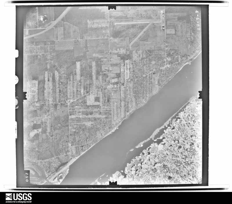
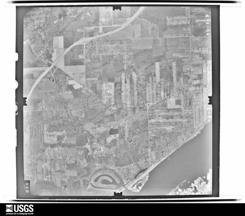
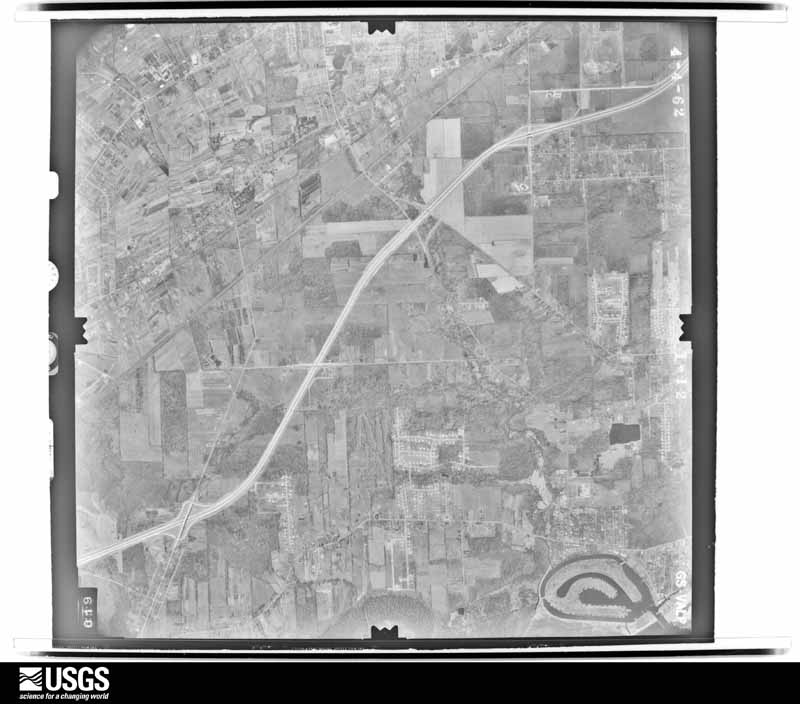
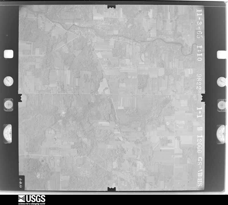
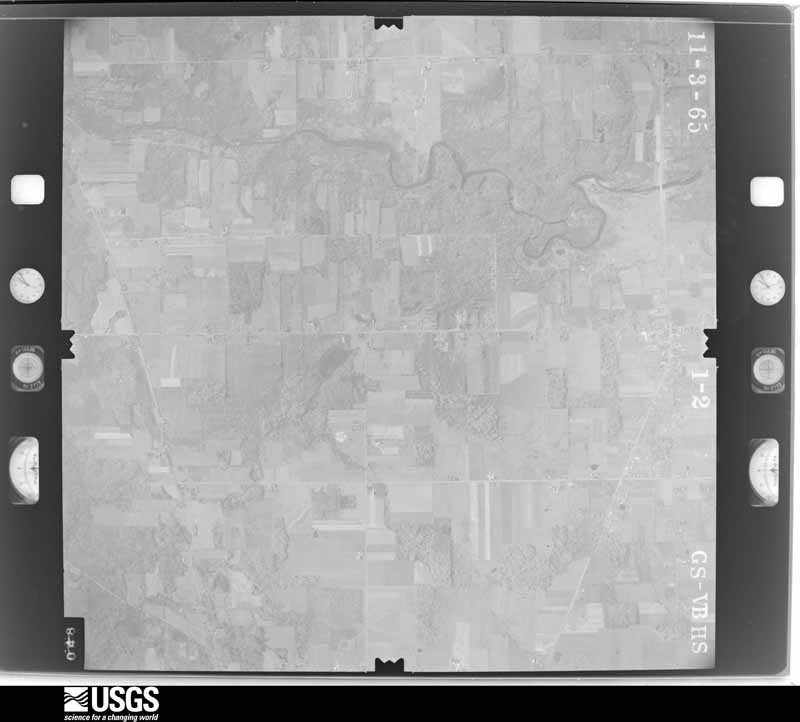
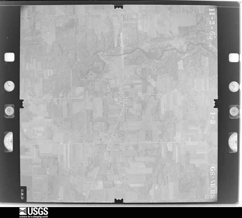
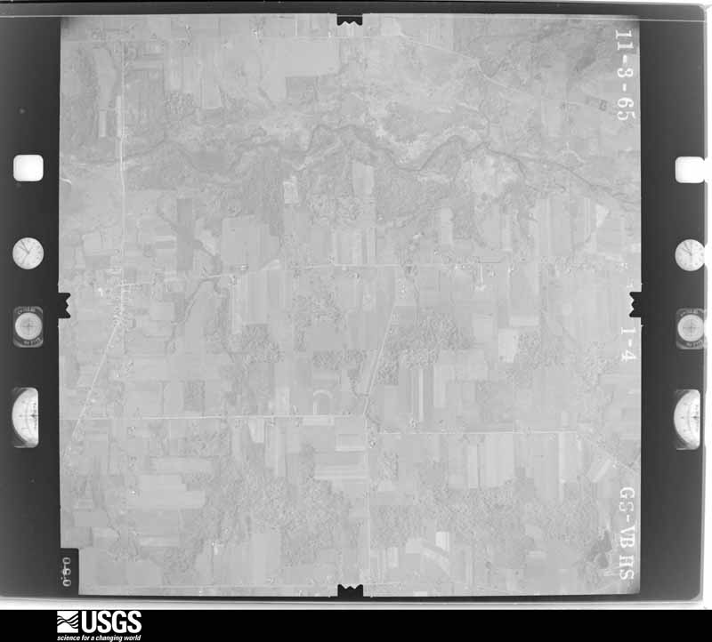
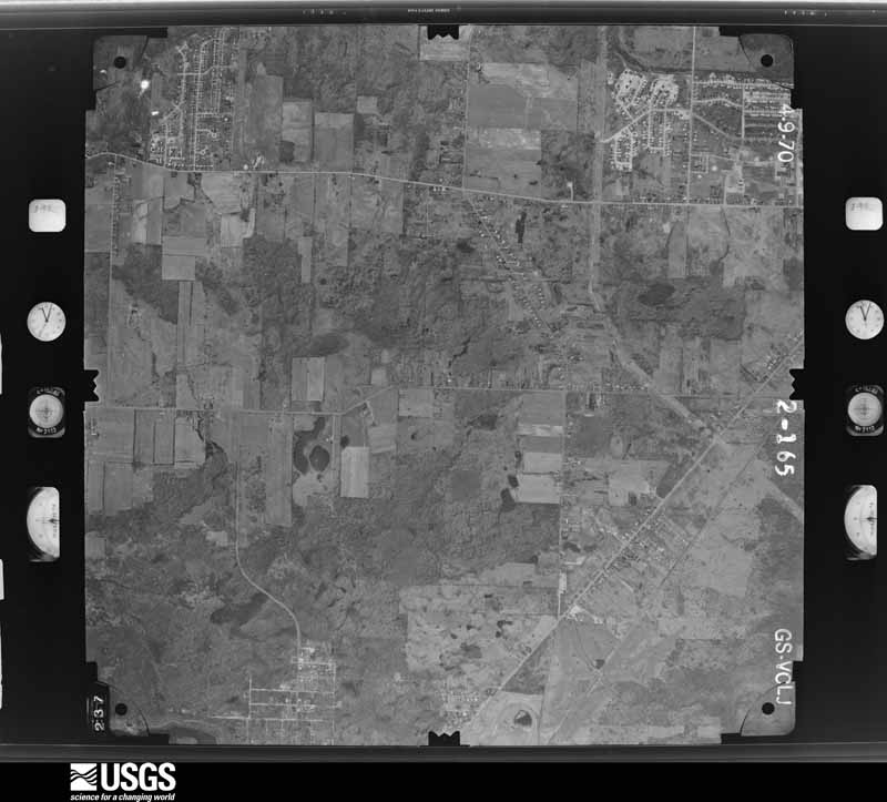
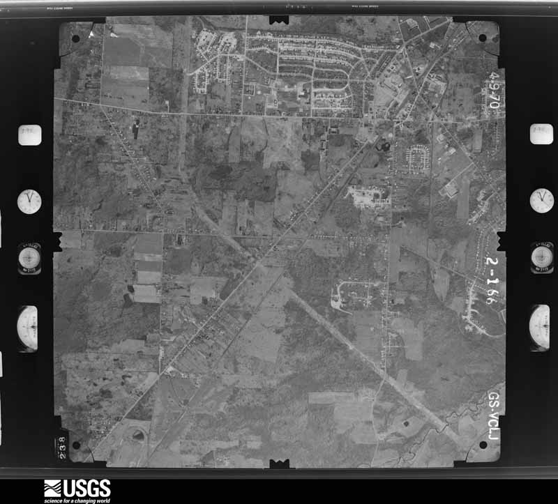
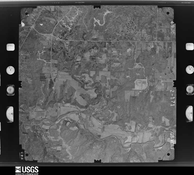
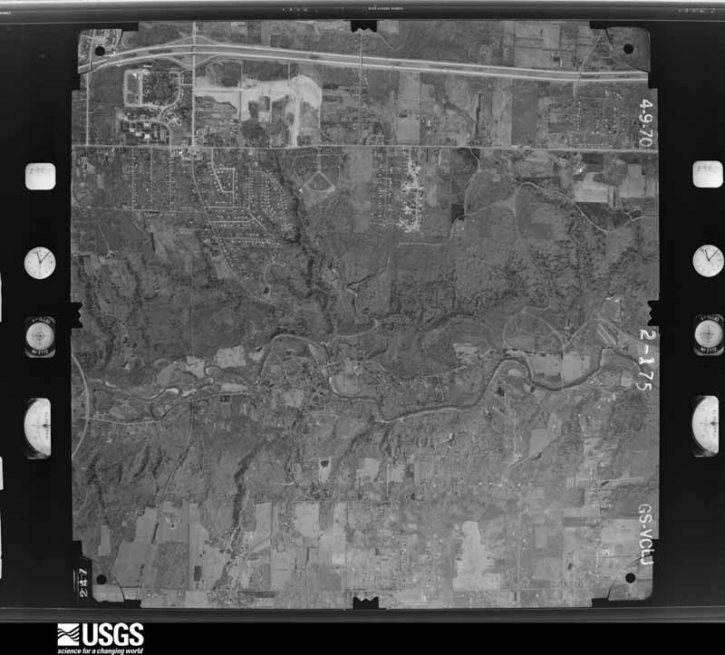
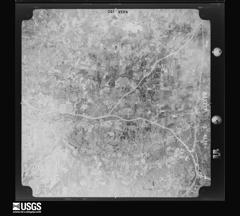
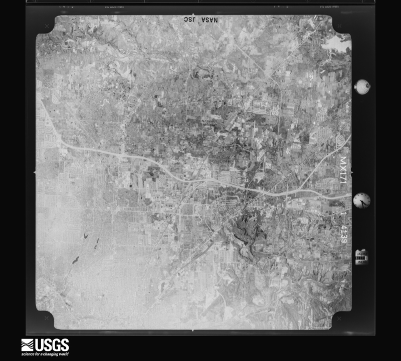
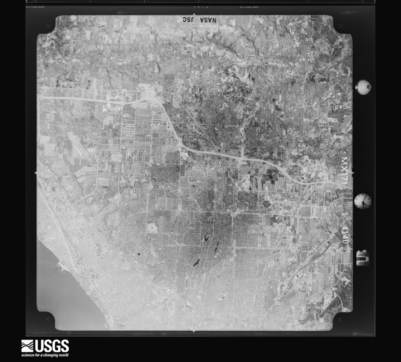
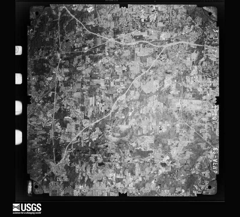
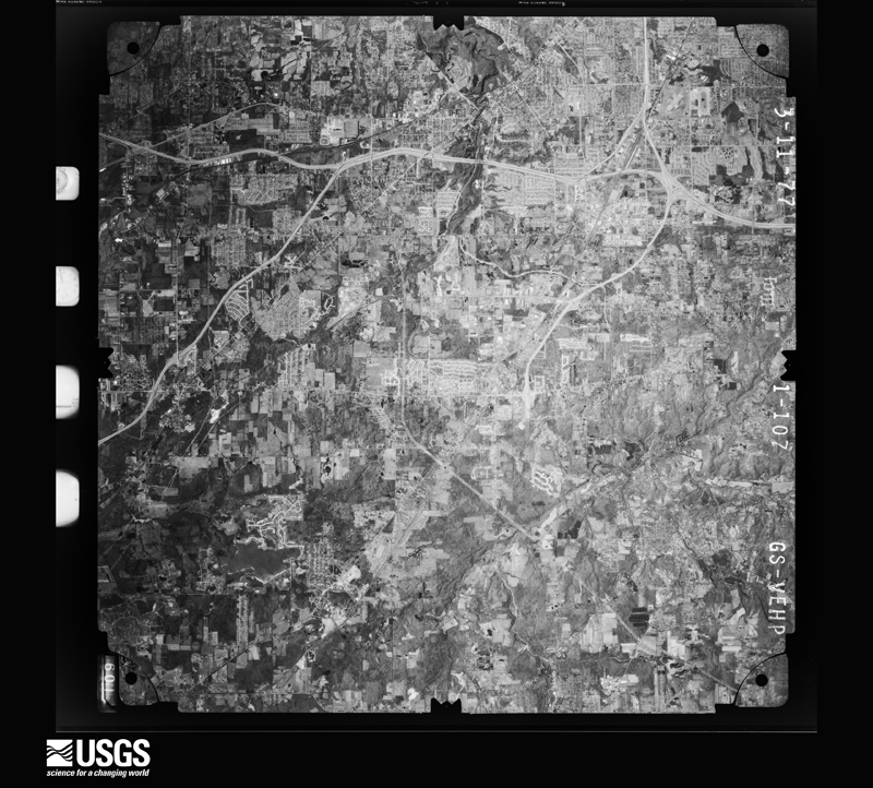
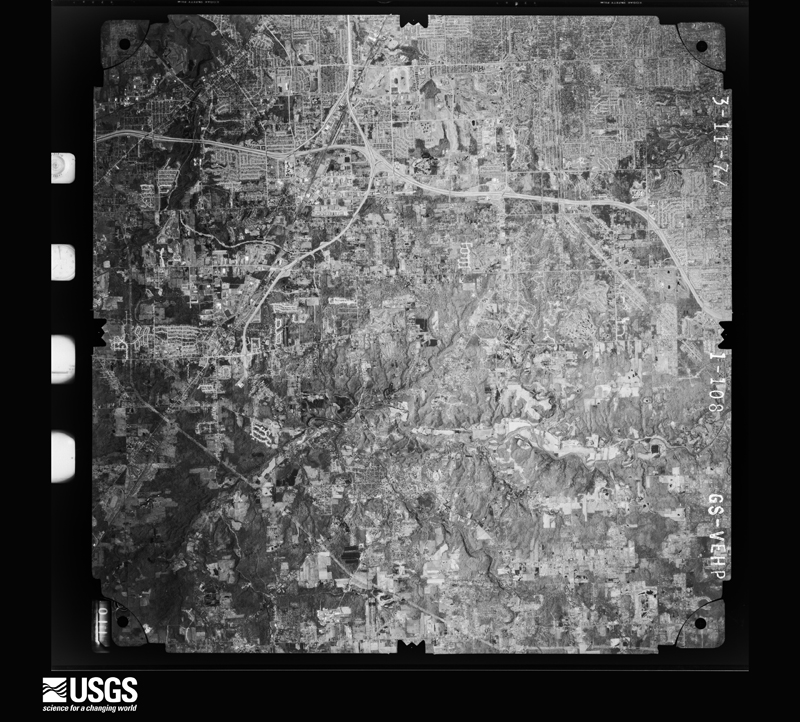
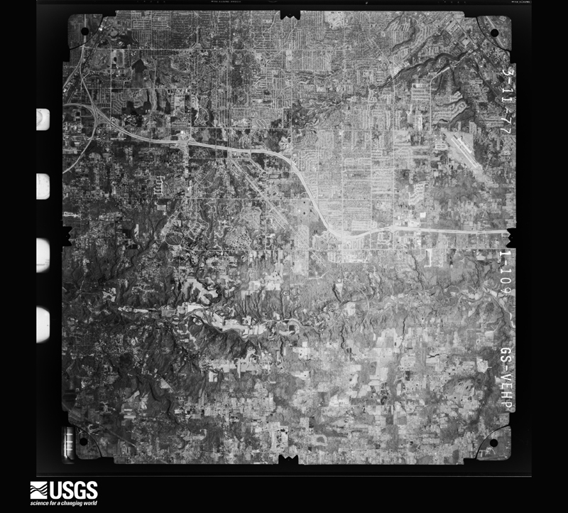
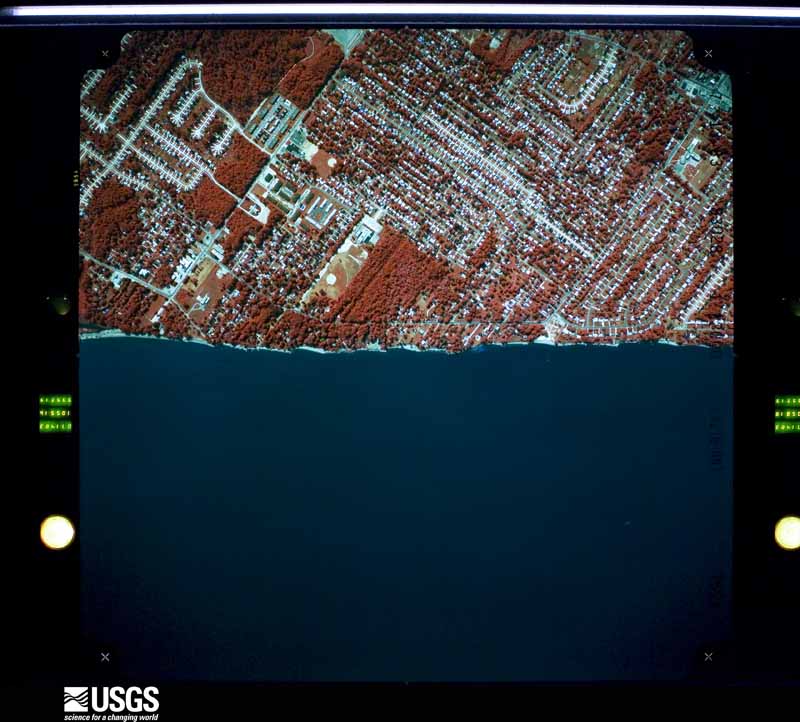
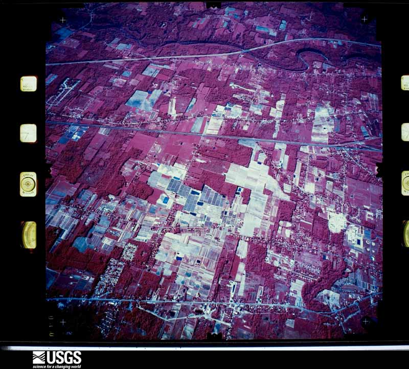
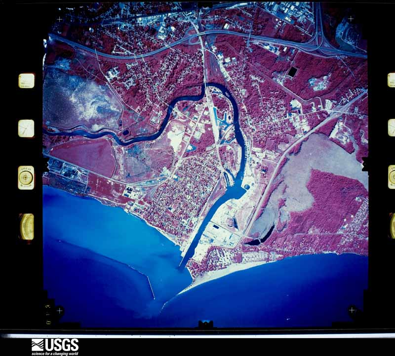
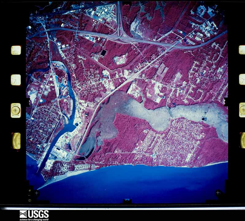
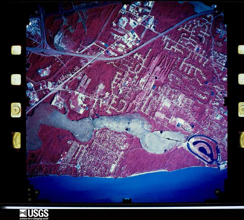
The county from the air
42 of 817 shown
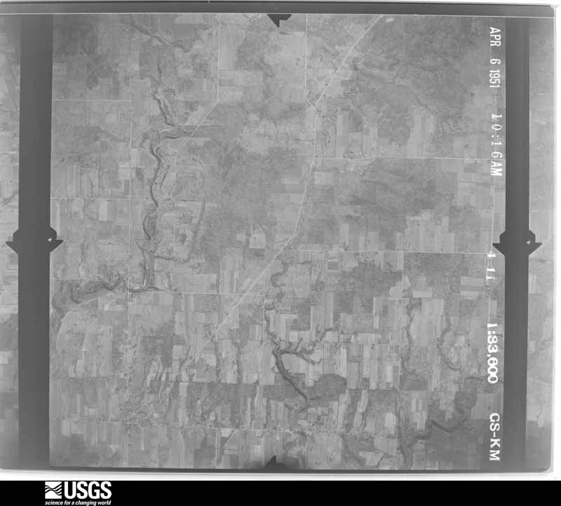
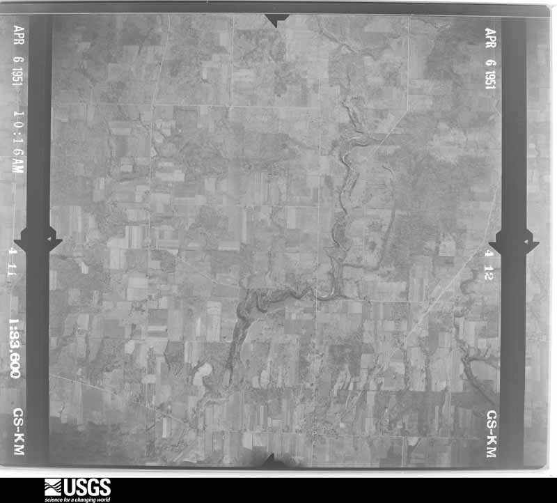
Flown by the U.S. Geological Survey
between 1937 and 1989, the Aerial Photo Single Frames collection is
the definitive mid-century view of the land: fields, roads and rivers
as the camera saw them. 817 frames touch this county; the
selection below spreads across the decades of flights (at most four
per year), so one flight cannot crowd out the rest. The full set is
free to browse and download at
EarthExplorer under the dataset Aerial Photo Single
Frames.
1951-04-06, scale 1:33600. U.S. Geological Survey aerial photograph.1951-04-06, scale 1:33600. U.S. Geological Survey aerial photograph.1951-04-06, scale 1:33600. U.S. Geological Survey aerial photograph.1951-04-06, scale 1:33600. U.S. Geological Survey aerial photograph.1952-04-01, scale 1:24000. U.S. Geological Survey aerial photograph.1952-04-01, scale 1:24000. U.S. Geological Survey aerial photograph.1952-04-01, scale 1:24000. U.S. Geological Survey aerial photograph.1952-04-01, scale 1:24000. U.S. Geological Survey aerial photograph.1957-05-07, scale 1:63524. U.S. Geological Survey aerial photograph.1960-05-15, scale 1:60000. U.S. Geological Survey aerial photograph.1960-05-15, scale 1:60000. U.S. Geological Survey aerial photograph.1960-05-15, scale 1:60000. U.S. Geological Survey aerial photograph.1960-05-15, scale 1:60000. U.S. Geological Survey aerial photograph.1962-04-04, scale 1:24000. U.S. Geological Survey aerial photograph.1962-04-04, scale 1:24000. U.S. Geological Survey aerial photograph.1962-04-04, scale 1:24000. U.S. Geological Survey aerial photograph.1962-04-04, scale 1:24000. U.S. Geological Survey aerial photograph.1965-11-03, scale 1:24000. U.S. Geological Survey aerial photograph.1965-11-03, scale 1:24000. U.S. Geological Survey aerial photograph.1965-11-03, scale 1:24000. U.S. Geological Survey aerial photograph.1965-11-03, scale 1:24000. U.S. Geological Survey aerial photograph.1966-05-05, scale 1:9609. U.S. Geological Survey aerial photograph.1970-04-26, scale 1:24000. U.S. Geological Survey aerial photograph.1970-04-26, scale 1:24000. U.S. Geological Survey aerial photograph.1970-04-26, scale 1:24000. U.S. Geological Survey aerial photograph.1970-04-26, scale 1:24000. U.S. Geological Survey aerial photograph.1971-04-16, scale 1:94727. U.S. Geological Survey aerial photograph.1971-04-16, scale 1:94727. U.S. Geological Survey aerial photograph.1971-04-16, scale 1:94727. U.S. Geological Survey aerial photograph.1971-05-17, scale 1:124120. U.S. Geological Survey aerial photograph.1977-03-11, scale 1:80000. U.S. Geological Survey aerial photograph.1977-03-11, scale 1:80000. U.S. Geological Survey aerial photograph.1977-03-11, scale 1:80000. U.S. Geological Survey aerial photograph.1977-03-11, scale 1:80000. U.S. Geological Survey aerial photograph.1983-07-13, scale 1:12842. U.S. Geological Survey aerial photograph.1983-07-13, scale 1:12842. U.S. Geological Survey aerial photograph.1983-07-13, scale 1:12842. U.S. Geological Survey aerial photograph.1983-07-13, scale 1:12842. U.S. Geological Survey aerial photograph.1994-06-08, scale 1:24000. U.S. Geological Survey aerial photograph.1994-06-08, scale 1:26000. U.S. Geological Survey aerial photograph.1994-06-08, scale 1:26000. U.S. Geological Survey aerial photograph.1994-06-08, scale 1:26000. U.S. Geological Survey aerial photograph.
City directories
1 volume
The "who lived here, by year" answer:
pre-1929 public-domain directory volumes naming the county's people,
machine-read and searchable as text.
The thermometers that kept this
county's weather, and the gages that watched its rivers, as the
federal records hold them. The extremes below are measured values
from those records, not estimates.
AUBURN1893 to 1897, hottest 35.6 C, coldest -29.4 C
BISSELLS1893 to 1898, hottest 38.9 C, coldest -26.1 C
CHARDON1945 to 2026, hottest 36.7 C, coldest -30.6 C
Who lived here in 1950, one enumeration
district at a time, as the Census Bureau described each district.
Each row opens its official National Archives result, with Population
Schedules and ED Maps available there.
Every Sanborn volume opens with a printed index
naming the town's mills, tanneries, hotels and works by proprietor. Those
indexes were read off the scanned sheets by machine and then matched to each
other, so a business surveyed four times appears here once, with the years it
survived. 11 of these 16 were named in more than one atlas. Each carries a
crop of the line it was read from: the spelling is the recogniser's and the
1880s lithographer's, and the scan behind it is the proof.
Every wildfire the federal occurrence
database records inside this county: 4 of them, burning about
405 acres. 0 started naturally and 0 were
recorded as arson. Each settlement page carries the fires within five
miles of it.
Reported cause
Fires
Debris and open burning
2
Missing data/not specified/undetermined
2
The five largest, by the area the report
gives. None of them was recorded as arson.
Date
Cause
Size
Reported by
Name on the report
28 April 2003
Missing data/not specified/undetermined
400 acres
Ohio Department of Natural Resources
MENTOR
9 March 2020
Debris and open burning
3.0 acres
Ohio Department of Natural Resources
15457
4 August 2019
Missing data/not specified/undetermined
1.0 acres
Ohio Department of Natural Resources
15225
3 May 2020
Debris and open burning
1.0 acres
Ohio Department of Natural Resources
15714
Every settlement page carries the fires within five
miles of it - see the settlement index below.
Storms, 1959 to
2026
60 of 428 shown
The
NOAA Storm Events Database holds
428 reports for this county, causing 1 death,
24 injuries and about $23,168,200 in recorded property damage.
Each settlement page carries the reports that name it.
Kind of event
Reports
Thunderstorm Wind
267
Hail
108
Flash Flood
27
Tornado
18
Lightning
6
Heavy Rain
1
Winter Weather
1
The most serious of them, by death, then
injury, then recorded damage. The accounts are quoted exactly as the
forecast office filed them.
Trees and power poles downed throughout the county from thunderstorm winds of 60 to 80 mph. A 55 year old female was killed at Punderson State Park in Newbury Township when a 40 foot tree fell on her camper and crushed it. Twelve other campers in the park were severely damaged. A tree fell on a house in Newbury Township and destroyed the living, family and dining rooms. Dozens of trees were downed in Bainbridge where one house received extensive damage from a fallen tree. Dozens of trees and power poles were also downed in Burton Village and Chardon. A boat was overturned and destroyed in Chardon and several homes were damaged by fallen trees.
The tornado touched down near the Aims Department store just north of route 87 and moved northeast downing trees. An apartment complex suffered minor roof and structural damage. The tornado then moved into a residential neighborhood. Four homes were destroyed as the roofs were removed and each house lost one or two walls. Several outbuildings were also destroyed. About 12 other homes suffered minor to moderate damage. The tornado lifted just northeast of route 608 causing additional tree damage and minor damage to a few structures. Injuries were minor and consisted of lacerations and bruises. One woman was knocked unconscious by flying debris.
Thunderstorm winds downed a few trees and many large limbs in Parkman. One of the trees landed on a moving car. The driver of the car was transported to a local hospital and treated for minor injuries.
Slow moving thunderstorms dumped locally heavy rainfall on portions of Lake, Geauga and Cuyahoga Counties. Rainfall rates of between two and three inches per hour caused flash flooding. The worst flooding occurred in Chester Township in northwestern Geauga County. An automated rain gauge just east of Chesterland measured 3.62 inches of rain with most of this rainfall falling between noon and 1:30 pm. Flooding along several streams and small rivers was reported in Chester Township. Extensive flooding was reported in a neighborhood just southwest of the intersection of U.S. Route 322 and State Route 306. Homes along Marilyn Drive and Wyandot Road had up to two feet of water on their ground floors. Several people had to be rescued from their homes. A large portion of the downtown business district in Chesterland saw flood waters at least two feet deep. Extensive damage was reported to most of the businesses. Portions of U.S Route 322 and State Route 306 were washed out. Damage was also reported to several other state routes in the area. Significant flooding was also reported along County Line Road in Chagrin Falls. Dozens of streets had to be briefly closed because of flooding. An 18 year old had to be rescued from the Chagrin River in Russell Township. Flood waters reportedly toppled many trees along the river near where rescue occurred. The West Geauga School District had to cancel classes on June 1st because of flood damage. Hundreds of homes sustained flood damages during this event. Most of the damage was from basement flooding, but a few dozen buildings and homes did sustain major damage.
Heavy thunderstorm rains fell on northern Geauga County during the evening hours of July 27th and early morning hours of the 28th. Some rainfall totals from this period included: 6.51 inches southwest of Thompson; 5.11 inches near Chardon; 3.53 inches in Chesterland and 2.83 inches in Burton. Runoff from this rain caused rapid rises in area streams and rivers. Flooding was reported throughout northern Geauga County, but the worst damage occurred in Thompson and Claridon Townships. In Thompson Township, Talcott Creek went into flood and damaged many homes. A bridge on Moseley Road was heavily damaged. A house on Clay Street was destroyed after flood waters flowed through it. A total of 25 homes suffered major damage in Thompson Township with another 50 homes sustaining lesser damages. In Claridon Township, flood waters from overflowing Lake Aquilla damaged several homes on the east side of Aquilla Village. Many roads in the northern end of the county had to be closed because of flooding. Several hundred homes in the county also suffered basement flooding.
Thunderstorm downburst winds gusted to as much as 85 mph and caused extensive damage across the southern tier of townships in Geauga County. Sporadic damage was also reported further north in the county. The damage began west of Bainbridge at the county line and continued east to the Parkman area. The damage was most concentrated in the Bainbridge area. Hundreds of trees were snapped or uprooted and many utility poles were damaged. Many homes lost roofing or siding and several others were damaged by fallen trees. There were reports of road closures because of fallen trees and lines. A tower at the Auburn Township Fire Department was toppled by the strong winds. Just to the east in Troy Township, a moving vehicle was struck by a falling tree trapping the occupant. No serious injuries were reported. Power outages were widespread and in some cases took several days to be restored. Some of the school districts in Geauga County closed on November 6th because of power outages.
Thunderstorms dumped locally heavy rains on southern Geauga County during the afternoon hours of June 22nd. This rain fell on top of ground already saturated from heavy rains the previous 24 hours. A spotter in Troy Township measured 3.94 inches of rain on June 21st and 22nd with most of this rain falling between 3 and 8 p.m on the 22nd. Streams and creeks throughout southern Geauga County quickly left their banks flooding several roads. Both U.S. Route 422 and State Route 306 near Bainbridge had to be closed. Residents of several homes on Kenston Lake south of Bainbridge had to be evacuated because of a possible dam failure at the lake. A lot of flooding was also reported in Newbury Township after several streams went into flood. Dozens of homes in the county sustained damage, mainly from basement or nuisance flooding. No significant structural damage was reported.
Thunderstorms dumped two to three inches of rain on the southeastern half of Geauga County during the day. Lowland and street flooding occurred in that part of the county during the evening hours as several small streams and creeks left their banks. Many homes sustained minor flooding damage and nearly a dozen roads had to be closed because of flooding.
An EF1 tornado touched down west of Chesterland just to the north of the intersection of U.S. Route 322 and Caves Road. The tornado then traveled east southeast through Chesterland and finally lifted north of the intersection of Sperry and Cedar Roads. The damage path was nearly three miles in length and up to 50 yards in width. Dozens of trees were downed along the damage path. Some homes and businesses in Chesterland sustained roof and siding damage. Many windows were also blown out.
A thunderstorm downburst heavily damaged a private school building along U.S. Route 322 east of Chesterland. Winds estimated to be at least 70 mph caused the roof above the gymnasium to collapse. Trees and limbs were downed in the same area. No injuries were reported.
Thunderstorms dumped over three inches of rain on portions of Geauga County. The heaviest rains fell over the southwestern corner of the county where spotters measured 3.5 inches of rain in Bainbridge. Rainfall rates at times approached two inches per hour. Fourteen homes were damaged by flooding in Chester, Russell, Newbury and Bainbridge Townships. Flood waters on some roads were as much as two feet deep. Many vehicles were damaged by the flood waters.
Heavy rainfall caused flash flooding from Bainbridge Township north to Novelty. Silver Creek came out of its banks in Novelty and flooded the Copaw Cabana Kennel where three people and 12 dogs had to be rescued around 4 pm. Another water rescue occurred on Snyder Road where a woman's car was moved by water. Rushing water entered the Chagrin Valley Roller Rink south of Chagrin Falls in Geauga County with rushing water of 3 to 4 feet deep on nearby Cedar and South Streets. Numerous roads were closed in Bainbridge including Ohio Route 306, Haskins Road, Snyder Road under 422, Bainbridge Road and East Washington. Tanglewood Lake overflowed and reached the secondary spillway, also flooding the Tanglewood Golf Club causing damage to at least 2 holes. Lake Lucerne Dam was in danger of breaching and water overflowing the lake reached homes downstream with numerous flooded basements. One observation from South Russell indicated 2.91 inches of rain fell, mostly between 1 and 4 pm. The Aurora Branch of the Chagrin River was overwhelmed and flooded area roads in northern Aurora including State Route 306, Treat Road, and Crackel Roads. The flowing water damaged some of the pavement which needed to be replaced.
A line of severe thunderstorms moved across Geauga County and downed hundreds of trees and caused widespread power outages. The Chagrin Falls area was especially hard hit. One mobile home was destroyed by fallen trees with many other homes and vehicles in the county also heavily damaged.
Starting around 520 PM on the evening of the 27th storms associated with a cold front moving through the region produced torrential rain over the Middlefield area. Between 545 and 715 PM 4.13 of rain fell as reported by the CoCoRaHS observer in Middlefield. It was this heavy rain that caused the Tare Creek to overcome it's banks and flood a retirement community and an apartment complex. This was the first ever reported incident of the creek flooding the retirement home which was built in 1965. The flood waters filled the basement with seven feet of water and resulted in evacuations. Further downstream sat an apartment complex where the Fire Department performed water rescues of 8 residents. The flood waters were estimated at eight inches deep in the apartments. An additional 0.9 of rain fell between 8 PM and 8 AM but no additional flash flooding resulted. Numerous homes in the community had flooded basements.
An EF0 tornado touched down in rural Geauga County about three miles northeast of Middlefield. The initial touchdown occurred just northeast of the intersection of Hayes and Nauvoo Roads in Middlefield Township. The tornado continued south southeast for nearly two and a half miles before crossing into Trumbull County. The tornado strengthened to EF1 intensity as it approached State Route 87. Two mobile homes along State Route 87 just west of Bundysburg Road and the Trumbull County line were damaged. One of the mobile homes was overturned and the second lost roofing and walls. No injuries were reported. The damage path appears to have been intermittent with numerous trees and limbs snapped. The damage path in Geauga County was no more than 25 yards in width. Upon exiting Geauga County, this tornado continued for another mile and a half in Trumbull County before dissipating.
Thunderstorms produced a swath of quarter to golf ball sized hail. Numerous vehicles were damaged by hail. Homes and crops were also damaged as a result of the large hail.
Thunderstorms produced a swath of hail ranging in size from penny to half dollar to golf ball. Numerous vehicles and homes were damaged by the large hail. Crops were also damaged as a result of the hail.
Thunderstorms produced quarter to golf ball size hail. Numerous vehicles and homes were damaged by the hail. The large hail also damaged crops in the area.
A tornado with estimated peak winds of 90 mph impacted Bainbridge. This tornado began in the western part of Laurel Springs subdivision and tracked east-southeastward from there. The subdivision experienced extensive tree damage in the form of two uprooted trees falling onto homes and at least 100 trees downed, twisted, and snapped in different directions. Farther along the tornado's track, several power poles and trees were downed, respectively, before the tornado dissipated near the intersection of Taylor May and Haskins Roads. One of the downed trees landed on a home along Taylor May Road.
Numerous large trees downed in the Lake Lucerne area of Bainbridge. At least four homes were damaged by the downed trees and at least one utility pole was downed.
An EF0 tornado touched down in rural Geauga County approximately three miles north of Middlefield. The initial touchdown occurred just east of the intersection of Burton Windsor and Durkee Roads in Huntsburg Township. Trees and large limbs were snapped in the area. The tornado then continued south southeast and briefly strengthened to EF1 intensity as it crossed State Route 528 south of Nauvoo Road. A building under construction along State Route 528 was heavily damaged. The tornado then quickly weakened to EF0 intensity and dissipated as it approached State Route 87 about a half mile east of State Route 528. The tornado appeared to be on the ground intermittently with downed trees and snapped limbs the main damage indicator. The tornado track was just over three miles in length and was no more than 25 yards in width.
Thunderstorm downburst winds tore the roof off of a commercial building in Chesterland. A few trees and large limbs in the area were also knocked down resulting in scattered power outages.
An EF2 tornado with estimated peak winds of 115 mph impacted Middlefield. The tornado began just west of the intersection of OH Route 608 and Burton-Windsor Road where it caused minor damage to trees. This tornado then tracked southeastward and intensified before it completely destroyed a barn at a property along OH Route 608. The entire barn was lofted and displaced about 150 yards to the southeast, and the entire outer structure composed of cinder blocks collapsed. Extensive damage occurred to several other barns and trees at the same property. The tornado then travelled south-southeastward and damaged additional trees before dissipating just north-northeast of the intersection of OH Route 608 and Nauvoo Road.
The tornado touched down near the Aims Department store just north of route 87 and moved northeast downing trees. An apartment complex suffered minor roof and structural damage. The tornado then moved into a residential neighborhood. Four homes were destroyed as the roofs were removed and each house lost one or two walls. Several outbuildings were also destroyed. About 12 other homes suffered minor to moderate damage. The tornado lifted just northeast of route 608 causing additional tree damage and minor damage to a few structures. Injuries were minor and consisted of lacerations and bruises. One woman was knocked unconscious by flying debris.
A tornado with estimated peak winds of 110 mph impacted the Aquilla area. This tornado began near the intersection of Aquilla Road and Tewksbury Lane, where it caused significant damage to trees and power lines before tracking east-southeastward from there. As the tornado moved along Meadow Wood Drive, extensive tree damage occurred, including numerous snapped and uprooted trees. The tornado then tracked generally eastward from the end of Meadow Wood Drive and impacted a residential property along the west side of Taylor Wells Road, where a swath of trees was snapped and uprooted. Additional tree damage occurred just east of Taylor Wells Road before the tornado dissipated.
Many trees downed across the central portion of the county. Twenty four trees were reported down in Chardon with three homes sustaining minor damage from falling trees. One car was also damaged by a falling tree in Chardon.
Thunderstorm winds caused damaged in Munson Township. Several trees were snapped about 20 feet above the ground. Some roofs in the area were also damaged.
An EF1 tornado with estimated peak winds of 100-mph impacted the Chesterland area. Radar data indicate this was a rare anticyclonic tornado. The tornado began just northeast of the intersection of Watt Road and Fairmount Road, where a large barn had its roof collapse. As the tornado moved generally eastward, it downed several large pine trees onto a house along Fairmount Road, about halfway between Watt and Sperry Roads, but there was no obvious damage to the home. A power pole was snapped in half at this same location. Farther east along Fairmount Road, the tornado downed additional large pine trees. One of the trees fell onto a home and caused some roof and gutter damage. The tornado ended soon thereafter, just west-northwest of the intersection of Fairmount and Rockhaven Roads.
Strong to severe thunderstorms moved across northern Ohio during the afternoon hours of the 31st. In South Russell, around 2.7 inches of rain fell within an hour across the area causing flash flooding. Water was around three feet deep in a roadway at one point. A woman had attempted to drive through the rapidly rising water in the street. The car was unable to get through the high water and she had to be rescued by law enforcement. There were no reports of homes flooded during this event.
The tornado touched down near the Aims Department store just north of route 87 and moved northeast downing trees. An apartment complex suffered minor roof and structural damage. The tornado then moved into a residential neighborhood. Four homes were destroyed as the roofs were removed and each house lost one or two walls. Several outbuildings were also destroyed. About 12 other homes suffered minor to moderate damage. The tornado lifted just northeast of route 608 causing additional tree damage and minor damage to a few structures. Injuries were minor and consisted of lacerations and bruises. One woman was knocked unconscious by flying debris.
Trees and utility lines were reported down throughout the county.
Mines and
quarries
12 recorded
The Survey's mineral resources record
lists 12 workings inside this county. 7 still
produce and 5 are closed or unrecorded. Each settlement
page carries the workings within five miles of it.
Commodity
Workings
Sand and Gravel, Construction
7
Stone, Crushed/Broken
5
The least common of them first, because a
county's hundredth gravel pit says nothing its first ten did not.
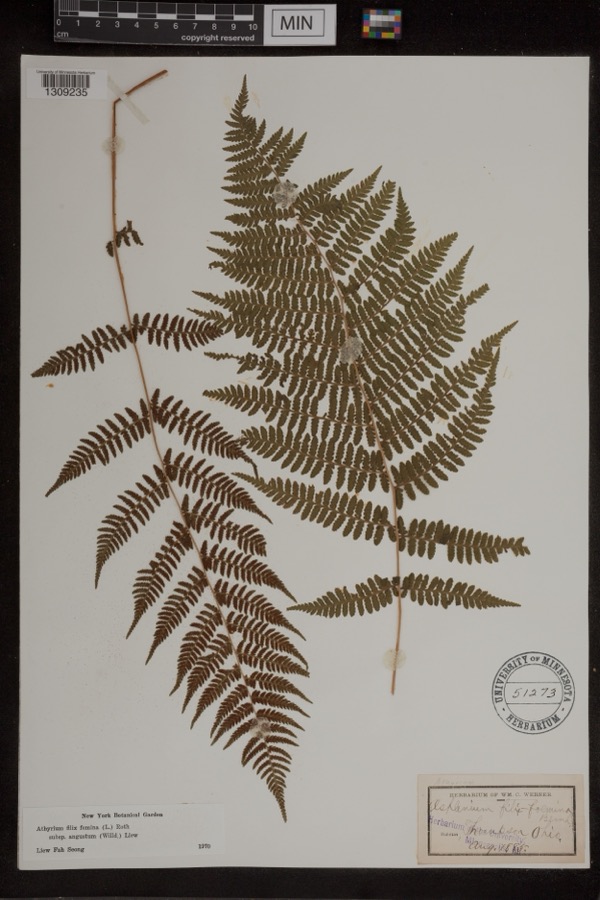
Museum specimens collected inside this
county and catalogued with a date and a place: 3,361 of them, by
kingdom 3,177 animalia, 164 plantae, 18 fungi, 1 chromista, 1 unrecorded. Each is a physical object in a named collection, not a
sighting. Held by Cleveland Museum of Natural History, OH (CLEV), Ohio State University - Fish Division, Columbus, OH (OSUM), WFVZ, CM, KU, F among others, and each settlement page carries
the specimens collected near it.
The oldest of them. A specimen proves
something was collected on that day; its absence proves nothing.
Pioneer and General History of Geauga County, with Sketches of Some of the Pioneers and Prominent Men devotes a chapter to each township:
its boundaries and streams, who settled it and when, the mills, the
schools and the churches. All 16 are reproduced here in full. Each row
shows the township's own shape and where it lies in the county, drawn from
the Census Bureau's boundary. Which settlements belong to which township
is computed from that same boundary, not taken from the book.
Everyone Pioneer and General History of Geauga County, with Sketches of Some of the Pioneers and Prominent Men stops to write about, with
the section that describes them. Among them are the men who founded the
place and governed the Territory. Each name opens the passage itself, in
the words of 1880.
Named settlements recorded in the Geographic Names
Information System, each with the topographic sheets covering it. Villages,
hamlets and abandoned places alike. Each is shown with the watercourse or
landform it stands on and the survey quadrangle it falls on. The 1
places that were also surveyed for fire insurance come first, with the
number of atlases and photographs held for them.
The complete index, with nothing left out.
Each of these is a separate record with its own page: a federal survey
report, or the case file that argued a property on to the National
Register. Both are public domain and reproduced word for word.
Topographic sheets. USGS Historical Topographic Map Collection, county index, measured from the bulk metadata.
Fire insurance maps. Library of Congress Sanborn collection, faceted to this county.
Photographs. Each place queried individually against the Library of Congress Prints and Photographs search.
Wildfire. Short, Karen C. 2022. Spatial wildfire occurrence data for the United States, 1992-2020 [FPA_FOD_20221014]. 6th Edition. Fort Collins, CO: Forest Service Research Data Archive. https://doi.org/10.2737/RDS-2013-0009.6 Collected with United States Government funding and usable without additional permissions or fees.
Specimens. Global Biodiversity Information Facility (GBIF), https://www.gbif.org/. Only records licensed CC0 or CC BY are used. Records licensed CC BY-NC are excluded because this site carries advertising. Images are checked individually and any whose licence is non-commercial, no-derivatives or unreadable is refused.
Mines and quarries. USGS Mineral Resources Data System (MRDS) https://mrdata.usgs.gov/mrds/ A work of the United States government, no copyright under 17 U.S.C. 105.
Storms. NOAA National Centers for Environmental Information, Storm Events Database https://www.ncei.noaa.gov/stormevents/ A work of the United States government, no copyright under 17 U.S.C. 105. Narratives are quoted verbatim from the National Weather Service report and are not edited or summarised.
 Block
Block