 Block
Block
Beavertown, Ohio
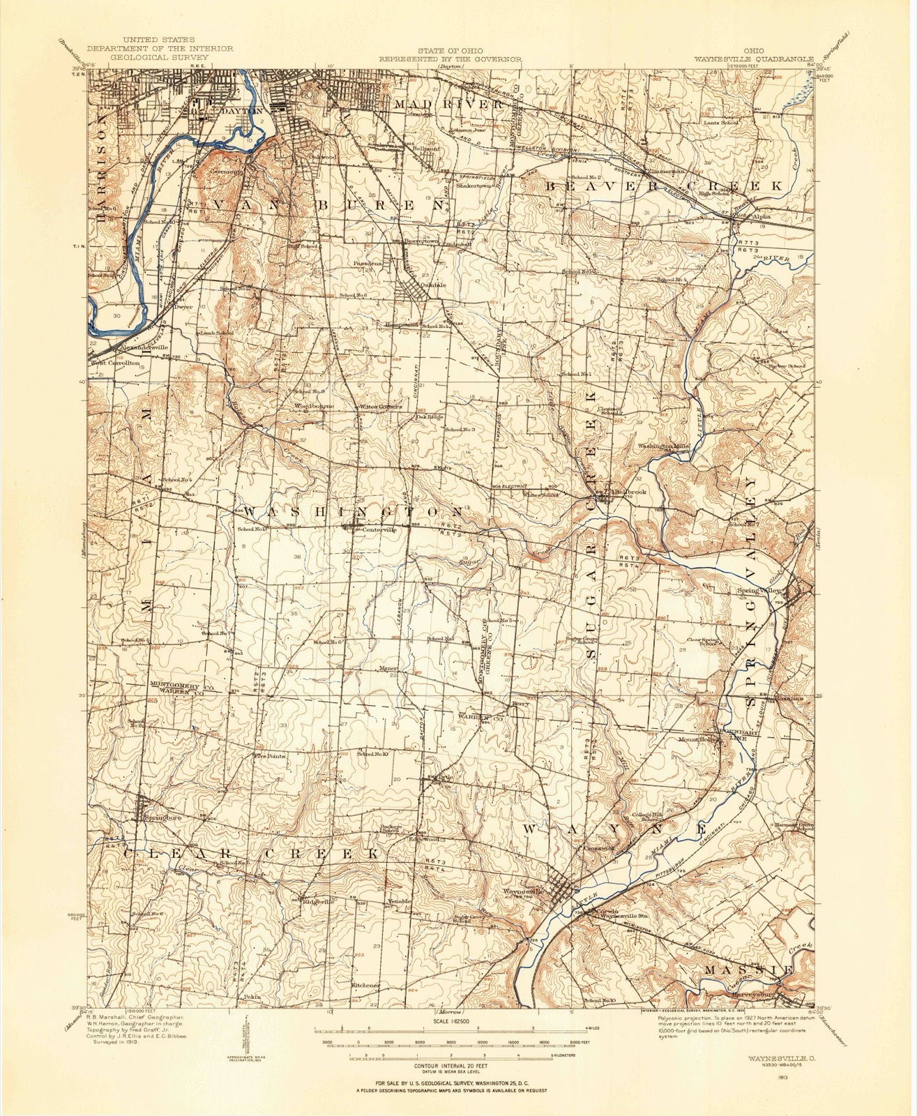
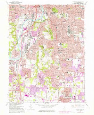
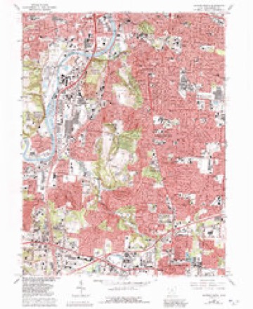
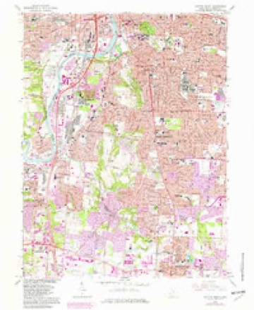
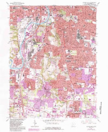
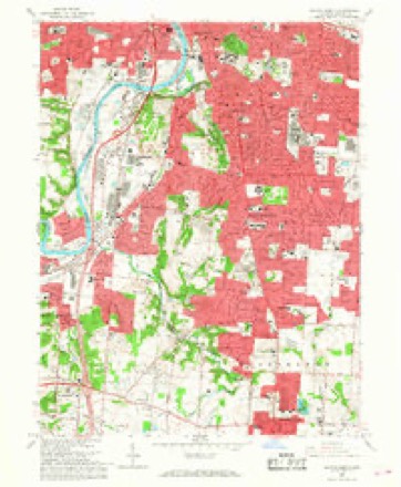
14 topographic sheets cover this place, the earliest surveyed in 1913 and the latest in 1986. It stands in Kettering City. It lies in ZIP code area 45429. The Survey maps it on the Dayton South quadrangle.
Then and now
1913 to 1986The same ground, surveyed 73 years apart. Drag the handle to wipe between them. Both sheets are United States Geological Survey originals; neither has been altered.

Topographic sheets covering this place
14 sheetsMatched by testing this settlement's coordinate against the published boundary of every sheet in the United States Geological Survey's historical collection. Each opens the scanned sheet at the Survey.
- 1913 USGS Waynesville quadrangle1:62500
- 1915 USGS Waynesville quadrangle1:62500
- 1953 USGS Cincinnati quadrangle1:250000
- 1953 USGS Cincinnati quadrangle1:250000
- 1953 USGS Cincinnati quadrangle1:250000
- 1955 USGS Dayton South quadrangle1:24000
- 1957 USGS Cincinnati quadrangle1:250000
- 1966 USGS Dayton South quadrangle1:24000
- 1966 USGS Dayton South quadrangle1:24000
- 1966 USGS Dayton South quadrangle1:24000
- 1966 USGS Dayton South quadrangle1:24000
- 1966 USGS Dayton South quadrangle1:24000
- 1986 USGS Dayton quadrangle1:100000
- 1986 USGS Dayton quadrangle1:100000






Specimens collected nearby
12 of 565 shownMuseums hold 565 specimens collected within 10 miles of Beavertown between 1836 and 1975: 413 Animalia, 87 Plantae, 56 Fungi, 4 Protozoa, 4 Chromista, 1 Unrecorded. 12 distinct Species records are shown. Collected by A JOHN, A JOHN AND W E DUELLMAN, A. E. Foeerste and others. Each is a physical object with a catalogue number, and each entry opens the museum's record. This is what was collected and kept, not a survey of what lives here - nothing can be concluded from a species being absent.
| Image | Species | Year | Collected by | Where, as recorded |
|---|---|---|---|---|
 | Ambrosia artemisiifolia L. | 1881 | Foerste AF | |
 | Geaster limbatus Fr. | 1883 | A. E. Foeerste | Dayton |
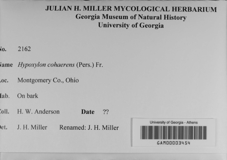 | Hypoxylon cohaerens (Pers.) Fr. | 1897 | H. W. Anderson | |
 | Platanthera leucophaea (Nutt.) Lindl. | 1836 | C. W. Short | Dayton |
 | Erythronium americanum Ker Gawl. | 1837 | van Cleve, John W. | 3 mi. north of Dayton |
 | Hydrophyllum macrophyllum Nutt. | 1838 | J. W. Van Cleve | Dayton |
 | Allium canadense L. | 1839 | not recorded | Dayton. 1 mi. northeast. |
 | Cardamine L. | 1839 | Sanders, Alfred; J.J. Nagel, J.G. Haupt. | Dayton. 1 mile east. |
 | Cassia marilandica L. | 1839 | Sanders, Alfred | Dayton |
 | Cynoglossum officinale L. | 1839 | not recorded | Dayton. Suburbs E. |
 | Iris versicolor L. | 1839 | not recorded | Dayton. 2 mi. south |
 | Nuphar advena (Aiton) Aiton | 1839 | Sanders, Mrs.; J.G. Haupt | Dayton |
All 565 specimens within 10 miles, at the Global Biodiversity Information Facility.
Mines and quarries nearby
10 of 16 shownThe federal mineral resources record lists 16 workings within 5 miles of Beavertown: 10 past producers, 6 producers. 6 still produce. What was taken out: Sand and Gravel, Construction. Distance is straight-line from the map coordinates, so a quarry counted here may appear on a neighbouring settlement's page as well.
| Where | Site | Commodity | Status | Recorded |
|---|---|---|---|---|
| Broadway Sand and Gravel Inc | Sand and Gravel, Construction | Producer | ||
| Broadway Sand and Gravel Pit | Sand and Gravel, Construction | Past Producer | Sedimentary | |
| East River Road Pit | Sand and Gravel, Construction | Past Producer | ||
| East River Road Pit | Sand and Gravel, Construction | Past Producer | Sedimentary | |
| Hawker and Son Pit | Sand and Gravel, Construction | Past Producer | Sedimentary | |
| Hawker and Son Pit | Sand and Gravel, Construction | Past Producer | ||
| Jackson Pit | Sand and Gravel, Construction | Past Producer | Sedimentary | |
| Jackson Sand Co. Pit | Sand and Gravel, Construction | Producer | ||
| Moraine Materials Pit No 5 | Sand and Gravel, Construction | Producer | ||
| Moraine Materials Sand & Gravel | Sand and Gravel, Construction | Past Producer |
Storms nearby
16 since 2012The National Weather Service names Beavertown in 16 storm reports between 2012 and 2025: 8 thunderstorm wind, 5 hail, 3 flood. No death or injury is recorded in these reports. Each account below is quoted exactly as the forecast office filed it, from the NOAA Storm Events Database, and each date opens the federal record of that event.
| When | Event | Place named | Harm | What the report says |
|---|---|---|---|---|
| September 2012 | Thunderstorm Wind | Beavertown | $3,000 | Trees were reported downed in Kettering due to damaging thunderstorm winds. |
| June 2017 | Thunderstorm Wind | Beavertown | $1,000 | A large tree was knocked down in Kettering. |
| June 2014 | Thunderstorm Wind | Beavertown | $1,000 | A large limb was downed due to thunderstorm winds. |
| May 2013 | Thunderstorm Wind | Beavertown | $1,000 | Large branches were blown down in Kettering due to thunderstorm winds. |
| July 2013 | Thunderstorm Wind | Beavertown | $1,000 | A large tree was split by thunderstorm winds. |
| November 2013 | Thunderstorm Wind | Beavertown | $1,000 | A tree was downed on Wenzler Drive due to thunderstorm winds. |
| October 2013 | Thunderstorm Wind | Beavertown | $1,000 | A tree was blown down in Kettering due to thunderstorm winds. |
| June 2015 | Thunderstorm Wind | Beavertown | $500 | A large tree limb was downed. |
| June 2025 | Flood | Beavertown | - | High water was reported on Wenbrook Drive. |
| August 2020 | Flood | Beavertown | - | Street flooding was reported on Wilmington Avenue. |
| June 2018 | Flood | Beavertown | - | Several inches of standing water was reported near the intersection of East Dorothy Lane and Woodman Drive in Kettering. |
| June 2017 | Hail | Beavertown | - | Size was based on a photo from social media. |
| February 2023 | Hail | Beavertown | - | no account filed |
| June 2021 | Hail | Beavertown | - | no account filed |
| June 2017 | Hail | Beavertown | - | no account filed |
| April 2016 | Hail | Beavertown | - | no account filed |
Nearest settlements
The eight closest, with where each one stands in the county. Distances are straight-line, computed from the Geographic Names Information System coordinates.
| Map | Place | Distance | Sheets |
|---|---|---|---|
| Pasadena | 0.5 miles | 14 | |
| Lindenhall | 0.7 miles | 14 | |
| Oakdale | 1.0 miles | 14 | |
| Far Hills | 1.3 miles | 14 | |
| Shakertown | 1.4 miles | 14 | |
| Greenmont | 1.4 miles | 14 | |
| Hampstead | 1.6 miles | 14 | |
| Kettering | 1.8 miles | 14 |
Provenance
This settlement is recorded in the Geographic Names Information System as feature 1059173. The sheet list is computed by point-in-boundary test against the United States Geological Survey's historical topographic inventory. Both are works of the United States government and carry no copyright under 17 U.S.C. 105.
Specimens. Global Biodiversity Information Facility (GBIF), https://www.gbif.org/. Only records licensed CC0 or CC BY are used. Records licensed CC BY-NC are excluded because this site carries advertising. Images are checked individually and any whose licence is non-commercial, no-derivatives or unreadable is refused.
Mines and quarries. USGS Mineral Resources Data System (MRDS) https://mrdata.usgs.gov/mrds/ A work of the United States government, no copyright under 17 U.S.C. 105.
Storms. NOAA National Centers for Environmental Information, Storm Events Database https://www.ncei.noaa.gov/stormevents/ A work of the United States government, no copyright under 17 U.S.C. 105. Narratives are quoted verbatim from the National Weather Service report and are not edited or summarised.