BlockBefore
Decorative drawing: a county panorama. Not a photograph of this place.

Montgomery County, Ohio

86 topographic sheets and 46 fire insurance atlases across 5 places.

Research this county

This curated hub for Montgomery County, Ohio brings together the page's documented record links, visible map or image evidence where published, and routes to related local records.

What is documented here?

Use the page's provenance and linked records to distinguish the source material from the site's navigation and summaries.

How should I cite it?

Open the original record, preserve its repository and identifier, then use the citation tool for this page as a path back to the source.

Where should I go next?

Follow the county or state hub for related places and records, then use the guide for a source-aware research sequence.

From the record

117 National Register listings, of which 4 are National Historic Landmarks · 52 businesses named in the fire insurance atlases from 1886 to 1956 · the 1882 county history tells 3 stories and names 48 people · people the book names include Jacob Bauer (German Township, 1882) · Gen. Richard Montgomery (Dayton City, 1882) (machine-read).

Sources: the county history on the Internet Archive · the National Register database, National Park Service

Ohio within the United States
Montgomery County within Ohio
Explore by year 1851 1956

What the record shows

  • 5 places in this county were surveyed for fire insurance: Dayton, Miamisburg, Germantown, Brookville, West Carrollton, between 1886 and 1956.
  • 46 fire insurance atlas(es) survive for the county. Topographic coverage is national; fire insurance survey reached only incorporated places with something worth insuring.
  • 1,568 topographic sheet readings cover the county's settlements.
  • 117 properties here are on the National Register of Historic Places, including 1 historic district, 44 houses and farms.
  • 46 of the 117 listings were added during the 1970s.
  • The Geographic Names Information System records 116 populated places in this county; 0 are covered by at least one topographic sheet.
  • 4 public-domain county histories, 1882 to 1909, supply 995,439 words of narrative reproduced here in full.

What happened here

3 accounts

A captivity, a drowning, a famine, a man scalped clearing his lot in 1789. These are passages from The History of Montgomery County, Ohio, Containing a History of the County;, written while people who remembered the events were still alive, and each one opens the section it comes from.

1882, Dayton City

Con Tents

A Typical Frontier Vavern - Daytou Contained Nine Dwellings in 1799- - Several Roads Opened--Monument Avenue Cleared--Main Street a Narrow Wagon Road - Settlements Few and Far Between - Hardships of Pioneer Life--Tidian War Apprehended - Block House Built - Schooi Opened in the Block House- - First Distillery Started - Cooper's Saw Mill - Corn Cracker - Hogs Introduced - Feed on Mast - Attacked by Wild Animals--First Flat Boat Launched-Sheep Introduced - Cost of Groceries at Cinciunati - Little Money jin Circulation - Business Conducted by Barter - Value of Diffsrent Kinds of Skins--Cut Money - McDougal's Store - Trade with the Indians - First Child Boro in Dayton - Taxation in 1800 - First Wedding - Census in 1801 - First Miuister - - Methodists - Presbyterians--Log Meeting House - First Grave Yard - - Jobn W.
Read the rest of this passage

1882, Dayton City

Chapter Xii

Municipal History - Beginning of Corporate History - Original Boundaries of the Town Site - Difficulties Connected with Securing Titles - First Town Mlection - Boundaries of the Settlement - Select Council in 1816 and Other Years - Boundaries of Wards --Addition to Market-house - City Officers from 1830 to 1850 - Officers' Salaries - Boundary Lines Defined - Polling Places Established in 1844 - Cholera in 1s49 - Officers from 1830 to 1889 - The Fire Department - Board of Health - City Police Dayton Police Benevolent Association - Water VWorks - Postolice............cccssds seeeee 193

Read the rest of this passage

1882, Dayton City

Military History

Toepfer and a number of his men being killed. Captain John Fries was wounded. In February, 1848, the regiment was on garrison. duty at Puebla, and in' July, 1848, the Dayton company returned home with only thirty-six men. Upon their arrival they were escorted by the National Guard and artillery to the common just east of Bainbridge Street, near Third, where a grand dinner was served.

Read the rest of this passage

Photographs

56 photographs, 1936 to 2019

Taken for the Office of War Information and the Farm Security Administration, who photographed the country between 1935 and 1944. Works of United States government photographers, with no known restriction on use. Each opens its catalogue record.

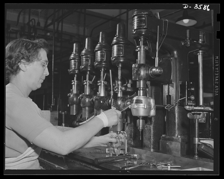
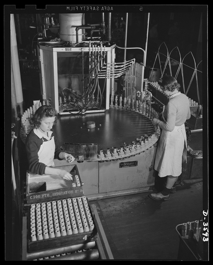
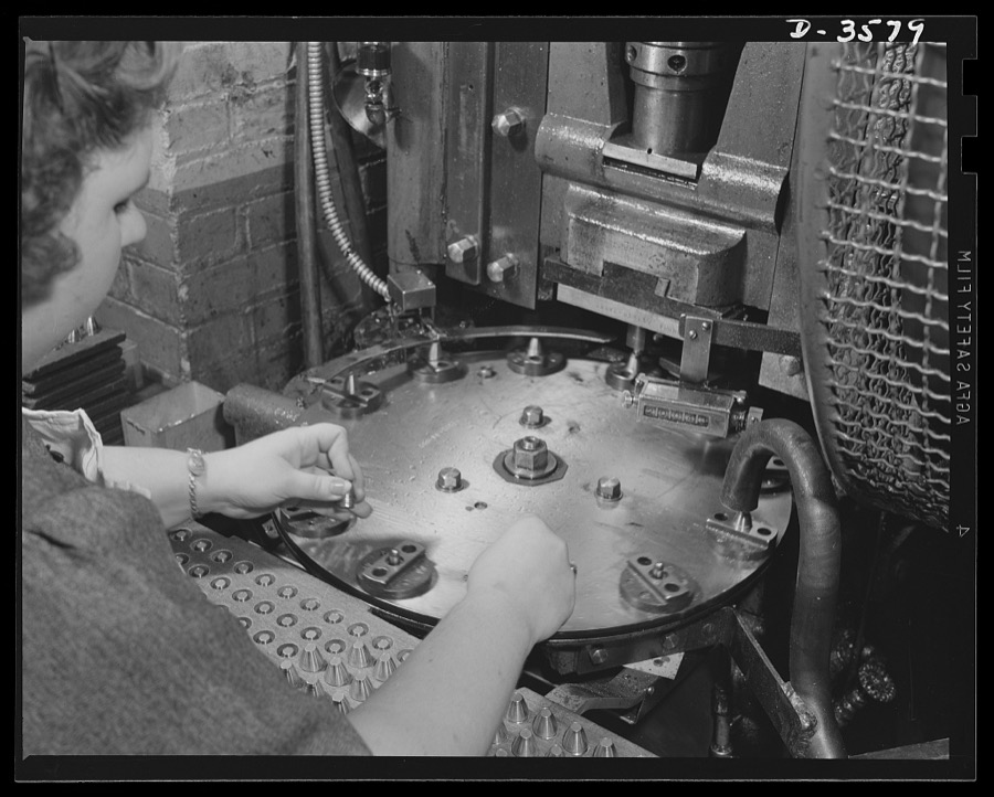
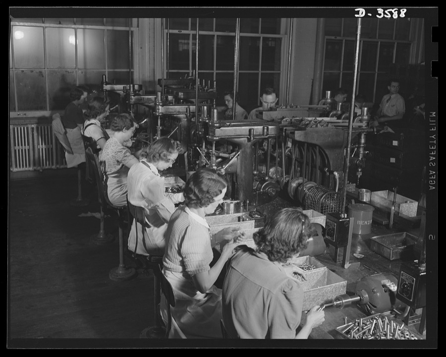
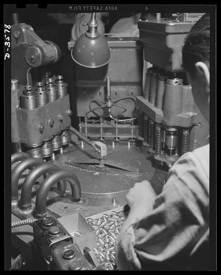
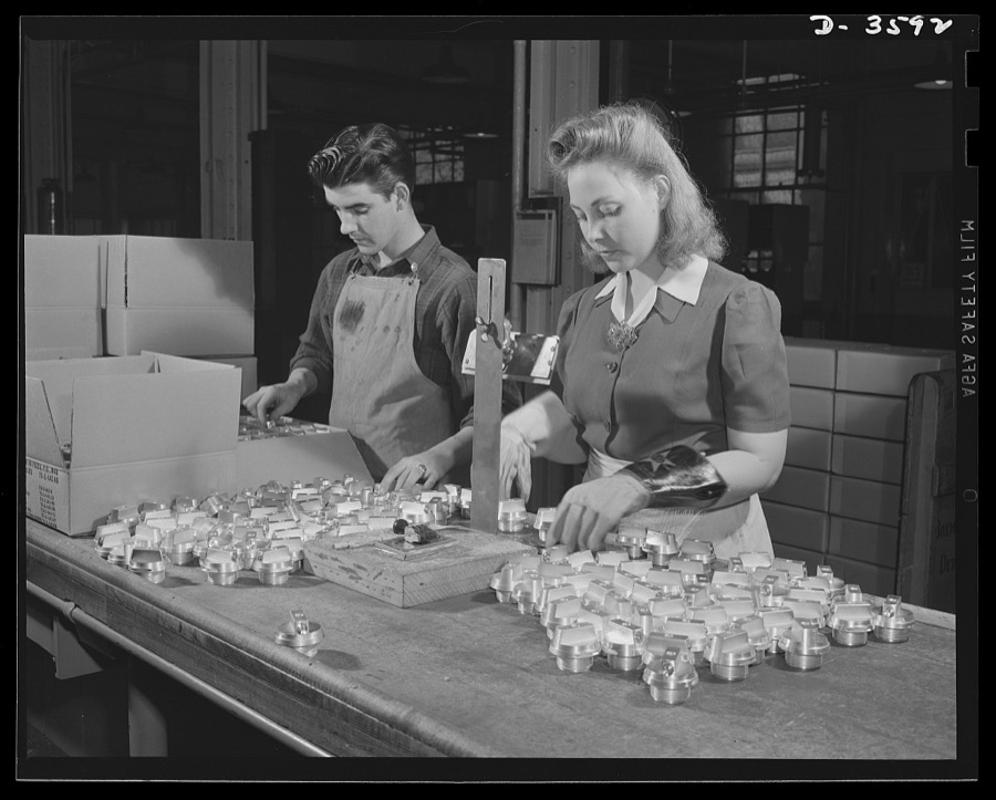
Conversion. Cash registers to gun magazines. A multiple drill press operation in the making of Oerliken magazines for 20mm anti-aircraft guns. The converted cash register manufacturing plant doing the work adapted many of its regular workers and machines to the new job. National Cash Register Company, Dayton, Ohio
Palmer, Alfred T., photographer, 1942. Library of Congress
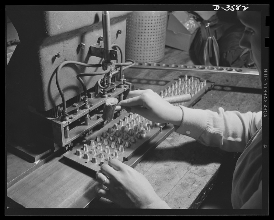
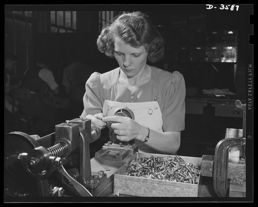
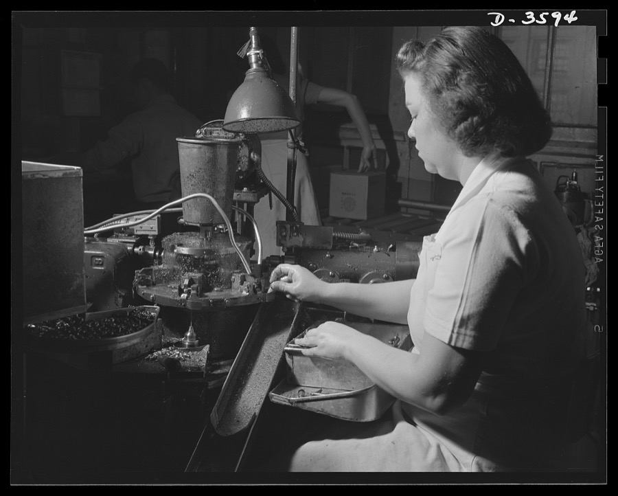
A vacuum mechanism for inserting discs is an important unit in the machine setup of a converted cash register factory now producing 20mm fuses in enormous quantities
Palmer, Alfred T., photographer, 1942. Library of Congress
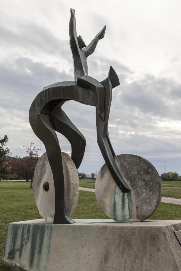
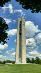
Artist Jerome B. Meadows's 1991 sculpture, "A Celebration of Bicycling," stands on the grounds of Carillon Historical Park in Dayton, Ohio, that contains historic buildings and exhibits concerning the history of technology and the history of Dayton
Highsmith, Carol M, 2016. Library of Congress
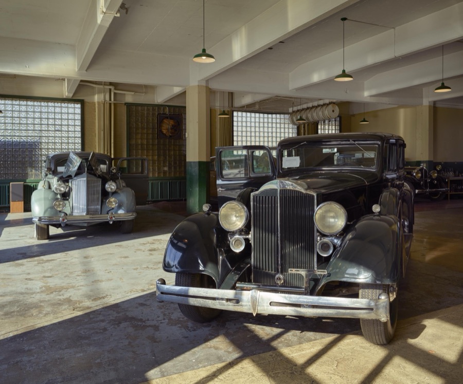
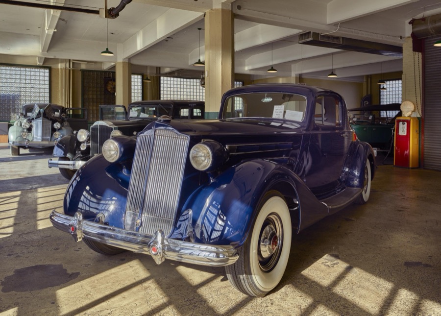
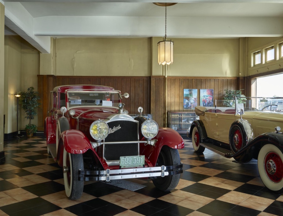
Display of classic Packard automobiles at America's Packard Museum, an automotive museum located in the former Citizens Motorcar Company auto-dealership building where Packards were sold beginning in 1908 in Dayton, Ohio
Highsmith, Carol M, 2016. Library of Congress
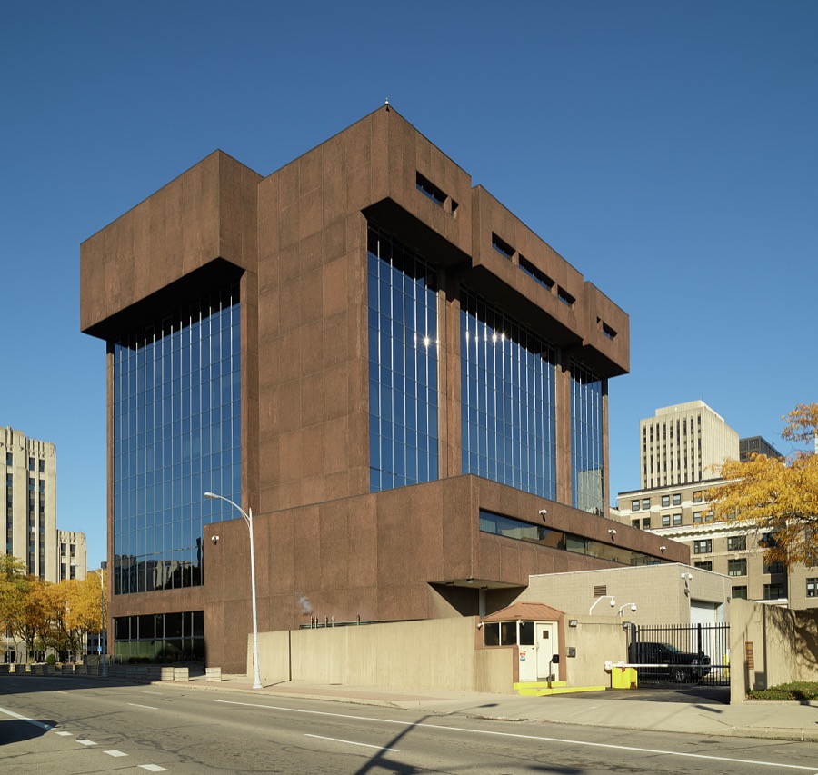
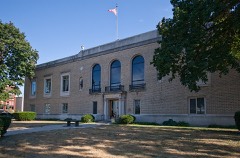
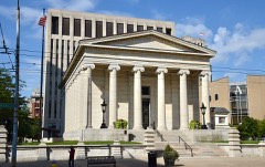
The Walter H. Rice Federal Building and U.S. Courthouse, Dayton, Ohio
Highsmith, Carol M, 2019. Library of Congress
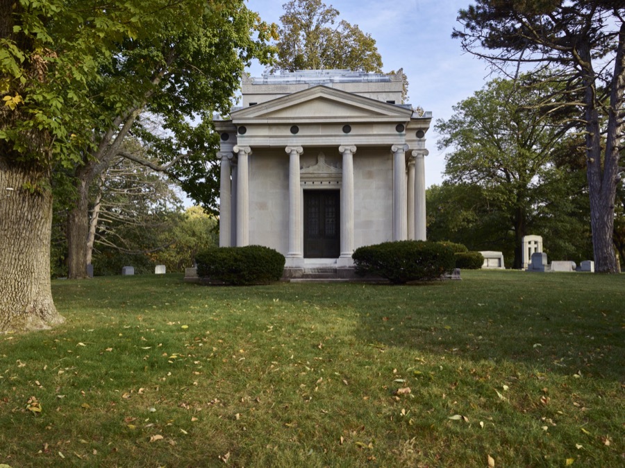
Greek temple-style mausoleum at Woodland Cemetery and Arboretum, in Dayton, Ohio, one of the oldest "garden" cemeteries in the United States
Highsmith, Carol M, 2016. Library of Congress
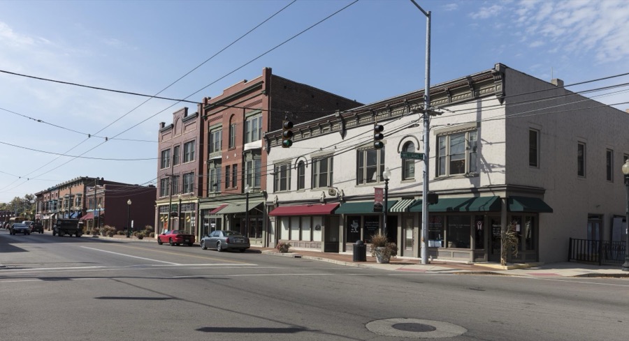
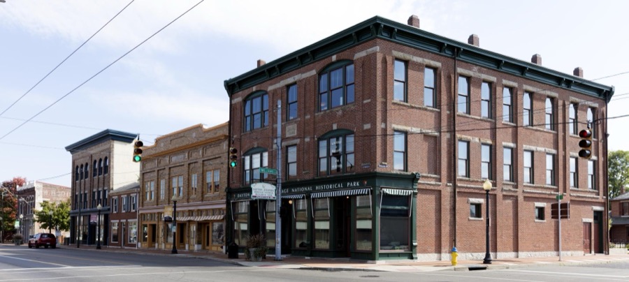
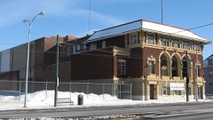
A block in West Third Street's old "Miami City" neighborhood, across the Great Miami River from downtown Dayton, Ohio, where the Wright Brothers, Wilbur and Orville, operated a print shop and later a cycle shop
Highsmith, Carol M, 2016. Library of Congress
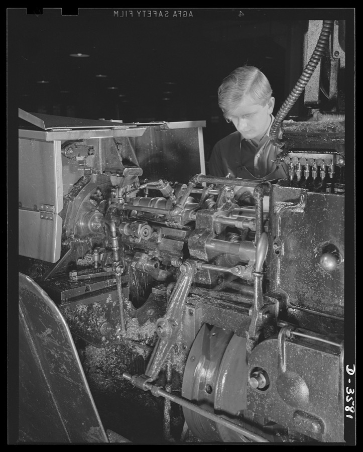
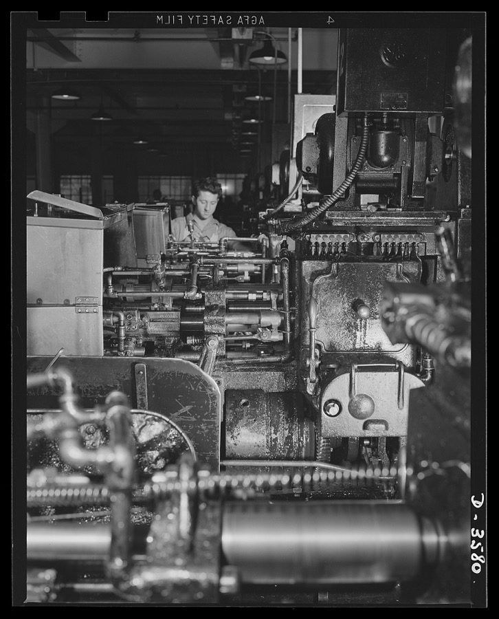
Production of 20mm fuses is speeded by a multiple spindle automatic screw machine in a converted cash register factory. National Cash Register Company, Dayton, Ohio
Palmer, Alfred T., photographer, 1942. Library of Congress
Farm near Dayton, Ohio
Lange, Dorothea, photographer, 1936. Library of Congress
Conversion. Cash registers to gun magazines. A boring operation on the Oerliken machine for 20mm anti-aircraft guns. Many regular employees were retained when a large cash register manufacturing plant changed over to war production. National Cash Register Company, Dayton, Ohio
Palmer, Alfred T., photographer, 1942. Library of Congress
Display of classic Packard automobiles at America's Packard Museum, an automotive museum located in the former Citizens Motorcar Company auto-dealership building where Packards were sold beginning in 1908 in Dayton, Ohio
Highsmith, Carol M, 2016. Library of Congress
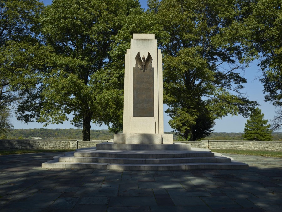
The Wright Hill Memorial in Dayton, Ohio, is one of several U.S. monuments honoring aviation pioneers Wilbur and Orville Wright
Highsmith, Carol M, 2016. Library of Congress
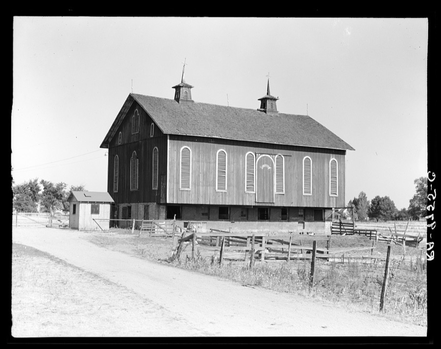
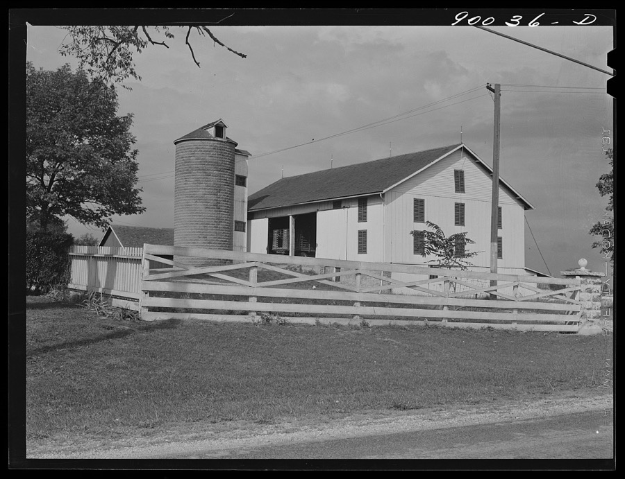
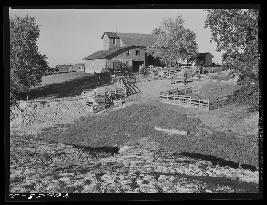
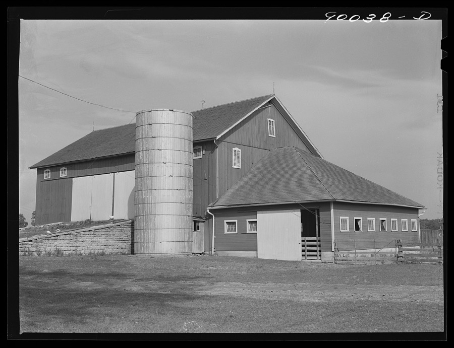
Barn on farm near Dayton, Ohio
Wolcott, Marion Post, 1941. Library of Congress
Conversion. Cash registers to gun magazines. A special machine drills and reams holes in relay lighting charge housings for 37mm shells. The work is done in a converted cash register factory. National Cash Register Compnay, Dayton, Ohio
Palmer, Alfred T., photographer, 1942. Library of Congress
A multiple spindle screw machine on 20mm fuse production in a plant that formerly made cash registers. National Cash Register Company, Dayton, Ohio
Palmer, Alfred T., photographer, 1942. Library of Congress
Farm near Dayton, Ohio
Wolcott, Marion Post, 1941. Library of Congress
A block of West Third Street's old "Miami City" neighborhood, across the Great Miami River from downtown Dayton, Ohio, where the Wright Brothers, Wilbur and Orville, operated a print shop and later a cycle shop (around the corner to the right)
Highsmith, Carol M, 2016. Library of Congress
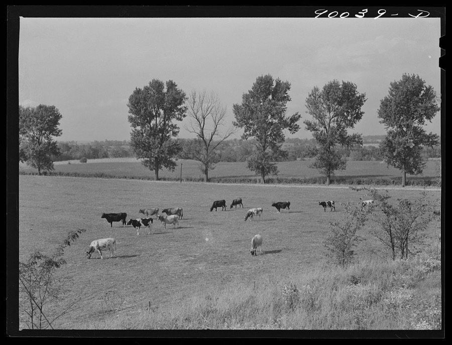
Dairy cows in pasture on farm near Dayton, Ohio
Wolcott, Marion Post, 1941. Library of Congress
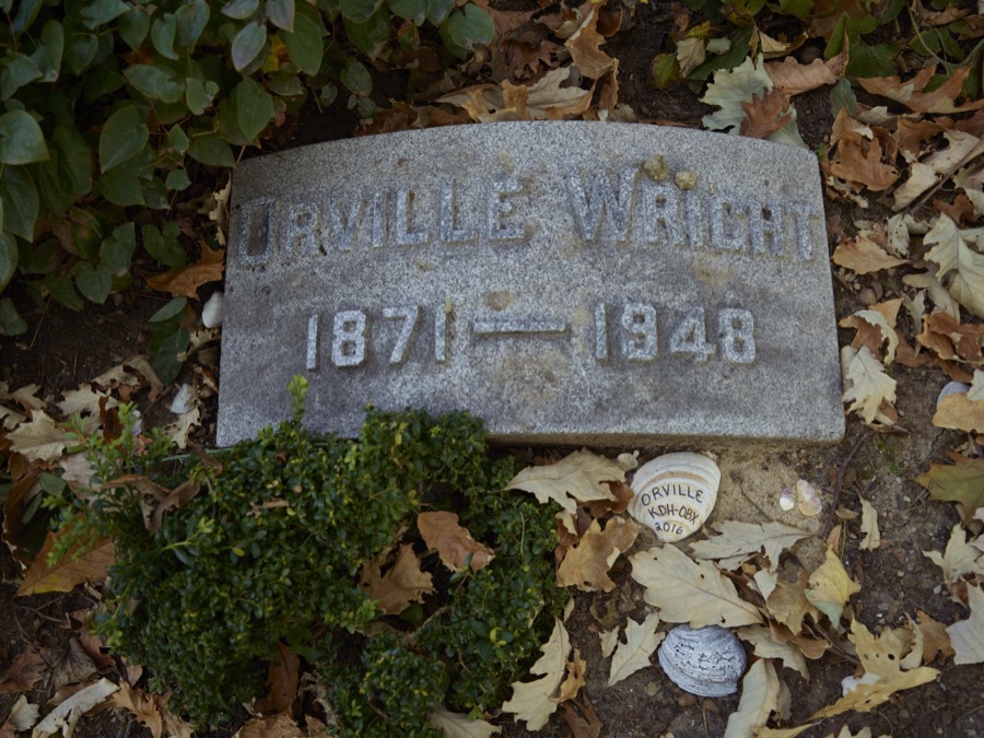
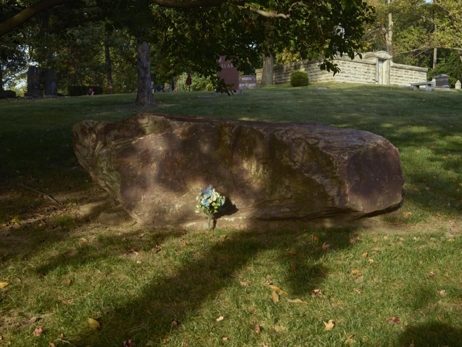
Gravestone of aviation pioneer Orville Wright at Woodland Cemetery and Arboretum, in Dayton, Ohio
Highsmith, Carol M, 2016. Library of Congress
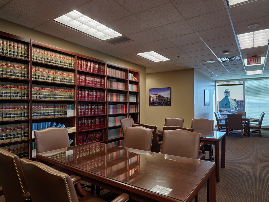
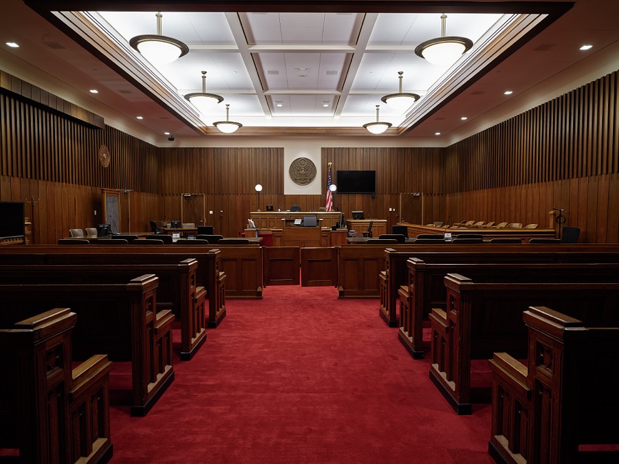
Courtroom in the Walter H. Rice Federal Building and U.S. Courthouse, Dayton, Ohio
Highsmith, Carol M, 2019. Library of Congress
Conversion. Cash registers to gun magazines. A machine paints the exterior and interior of each 37mm M-54 high explosive shell made at a former cash register factory now engaged in war production. National Cash Register Company, Dayton, Ohio
Palmer, Alfred T., photographer, 1942. Library of Congress
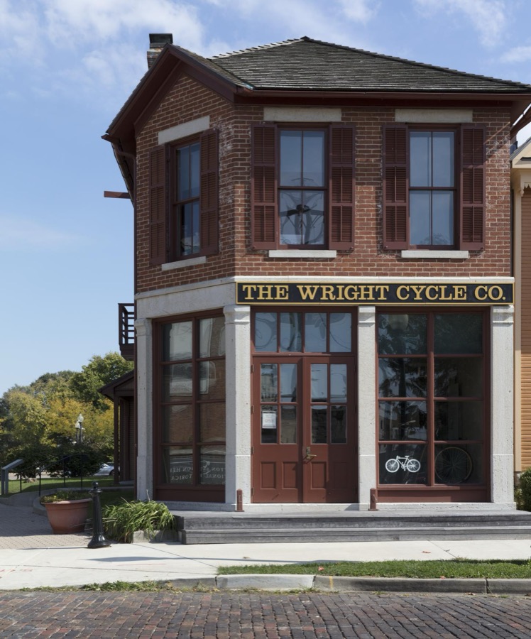
The Wright Cycle Co. building in West Third Street's old "Miami City" neighborhood, across the Great Miami River from downtown Dayton, Ohio
Highsmith, Carol M, 2016. Library of Congress
The Walter H. Rice Federal Building and U.S. Courthouse, Dayton, Ohio
Highsmith, Carol M, 2019. Library of Congress
Display of classic Packard automobiles at America's Packard Museum, an automotive museum located in the former Citizens Motorcar Company auto-dealership building where Packards were sold beginning in 1908 in Dayton, Ohio
Highsmith, Carol M, 2016. Library of Congress
A dial feed press crimps 20mm fuses in a large plant which quickly changed over to the production of essential supplies for our armed forces. National Cash Register Company, Dayton, Ohio
Palmer, Alfred T., photographer, 1942. Library of Congress
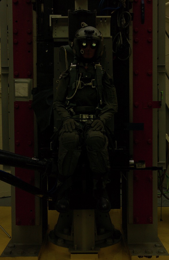
Lois (or Lightest Occupant In Service) the test dummy withstands a 10-G impact in a helmet with night-vision goggles on February 11, 2003 at a testing facility at Wright-Patterson Air Force Base in Dayton, Ohio
McNally, Joe, 2003. Library of Congress
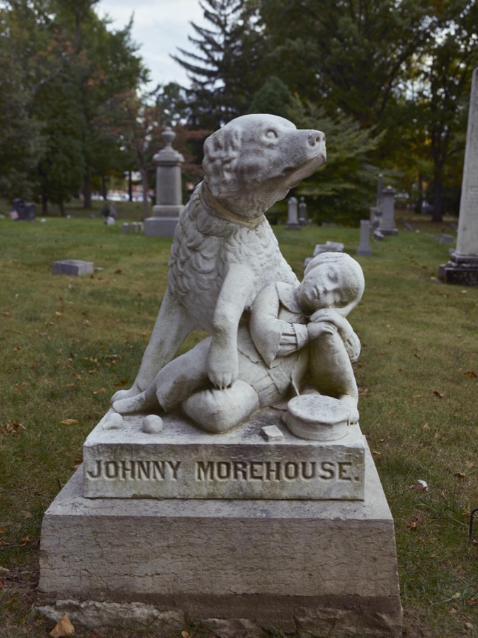
There are far more famous people than five-year-old Johnny Morehouse, a cobbler's son who died in 1860 and was buried at Woodland Cemetery and Arboretum, in Dayton, Ohio, but according to administrators, his statue is the most-visited among the cemetery's gravesites
Highsmith, Carol M, 2016. Library of Congress
Conversion. Cash registers to gun magazines. Many detail operations in the making of Oerliken magazines for 20mm anti-aircraft guns are performed by regualar employees of a converted cash register factory now on war production. National Cash Register Company, Dayton, Ohio
Palmer, Alfred T., photographer, 1942. Library of Congress
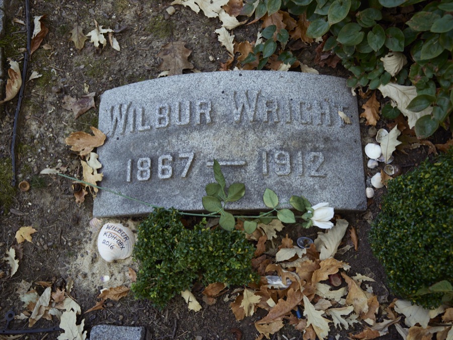
Gravestone of aviation pioneer Wilbur Wright at Woodland Cemetery and Arboretum, in Dayton, Ohio
Highsmith, Carol M, 2016. Library of Congress
Barn on farm near Dayton, Ohio
Wolcott, Marion Post, 1941. Library of Congress
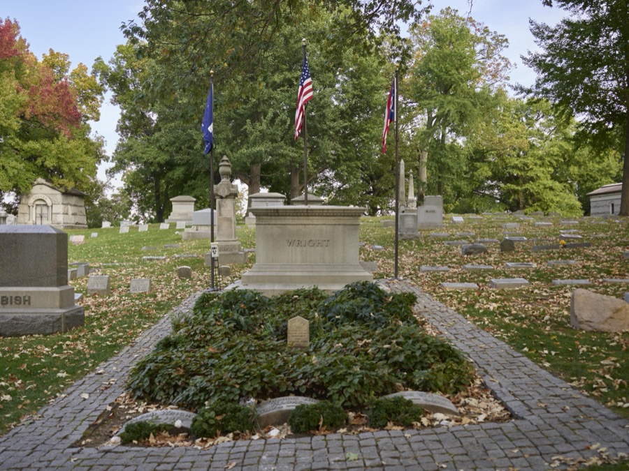
The Wright Family plot at Woodland Cemetery and Arboretum, in Dayton, Ohio, is one of the oldest "garden" cemeteries in the United States
Highsmith, Carol M, 2016. Library of Congress
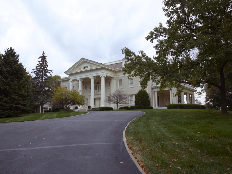
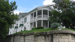
The Hawthorn Hill mansion in Oakwood, Ohio
Highsmith, Carol M, 2016. Library of Congress
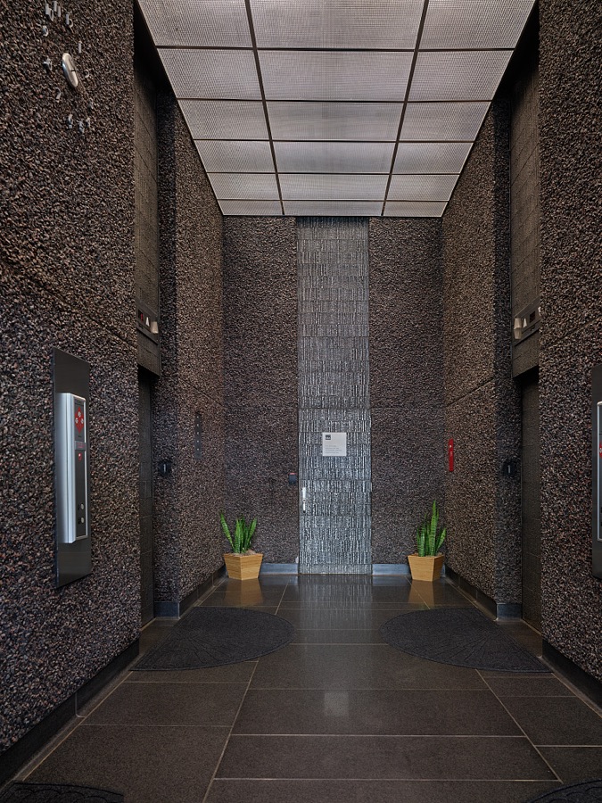
Elevator lobby in the Walter H. Rice Federal Building and U.S. Courthouse, Dayton, Ohio
Highsmith, Carol M, 2019. Library of Congress
Conversion. Cash registers to gun magazines. Women work side by side with men to smash the Axis. Arming test of M-48 fuse bodies part of the routine inspection of shell parts at a former cash register factory now engaged in war production. National Cash Register Company, Dayton, Ohio
Palmer, Alfred T., photographer, 1942. Library of Congress
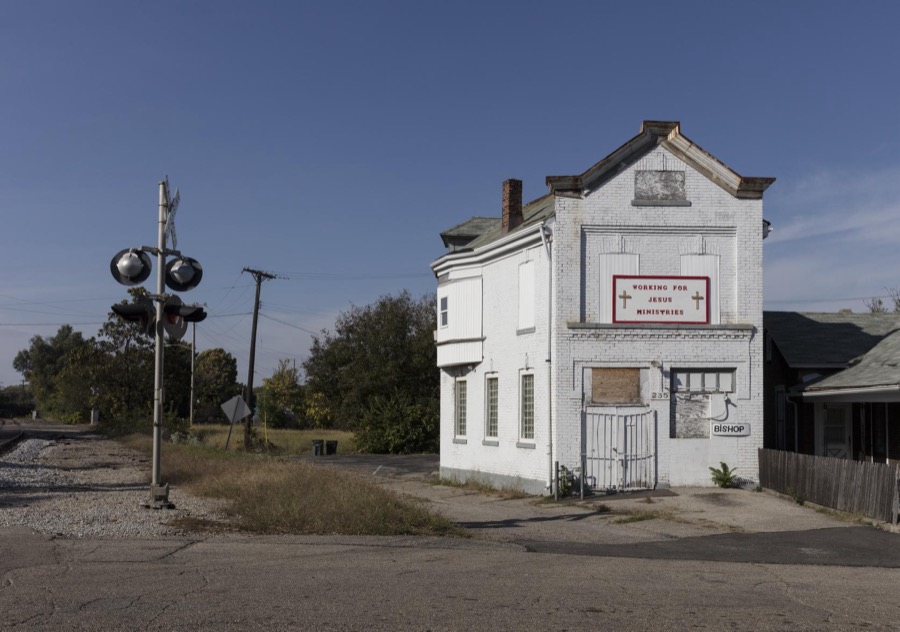
An abandoned former storefront church in a primarily African-American neighborhood west of downtown Dayton, Ohio
Highsmith, Carol M, 2016. Library of Congress
Artist John Safer's stainless-steel "Pathway" sculpture, dedicated to "the spirit of [Dayton aviation pioneers] Orville and Wilbur Wright," casts a striking contrast to the 1930 Edward B. Green Building that houses the Dayton Art Institute, a museum of fine arts in Dayton, Ohio
Highsmith, Carol M, 2016. Library of Congress
The gravesite of American humorist Erma Bombeck at Woodland Cemetery and Arboretum, in Dayton, Ohio, one of the oldest "garden" cemeteries in the United States
Highsmith, Carol M, 2016. Library of Congress
A special automatic machine in a converted cash register factory handles the operations of countercoring, disc inserting, crimping and unloading 20mm fuses. National Cash Register Company, Dayton, Ohio
Palmer, Alfred T., photographer, 1942. Library of Congress
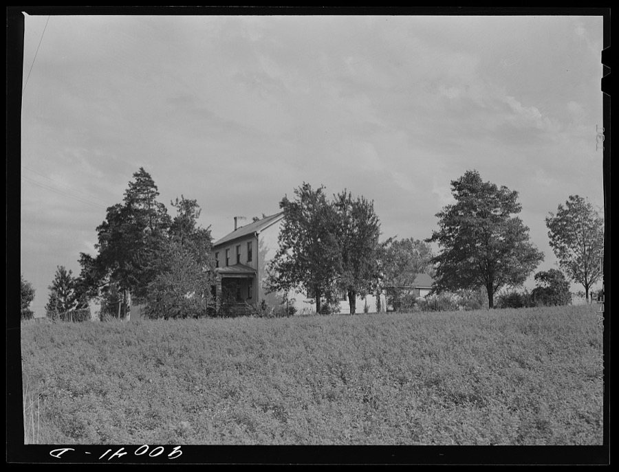
Farmhouse near Dayton, Ohio
Wolcott, Marion Post, 1941. Library of Congress
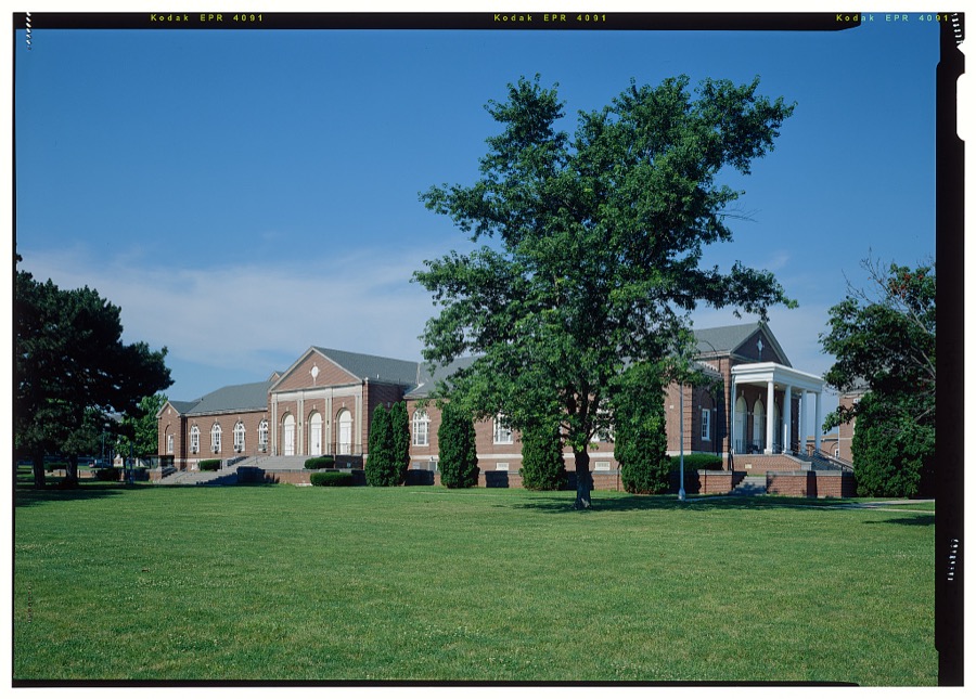
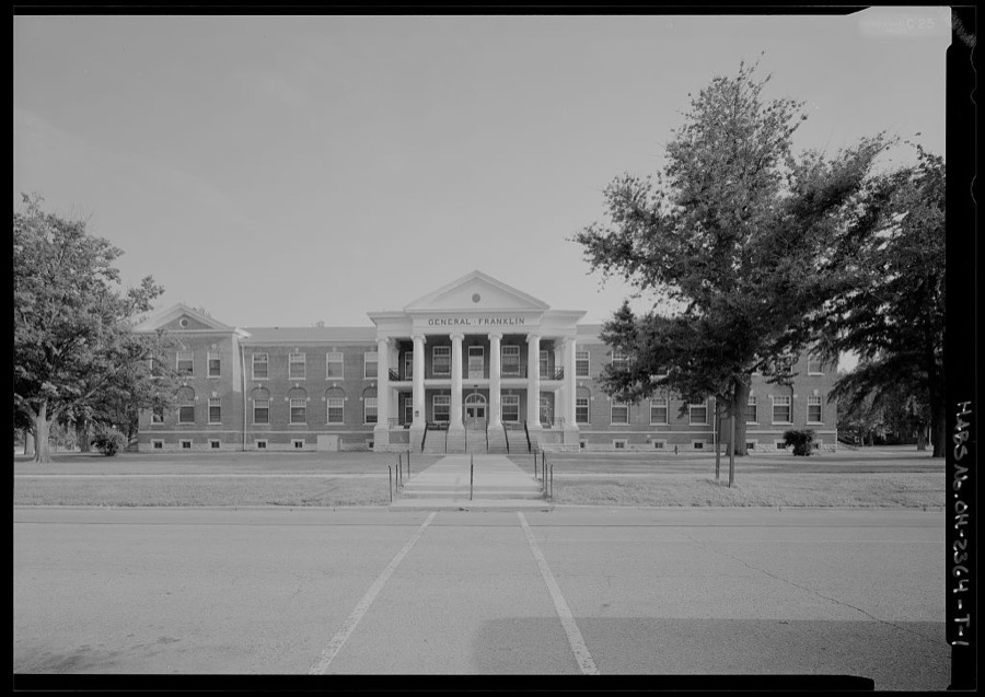
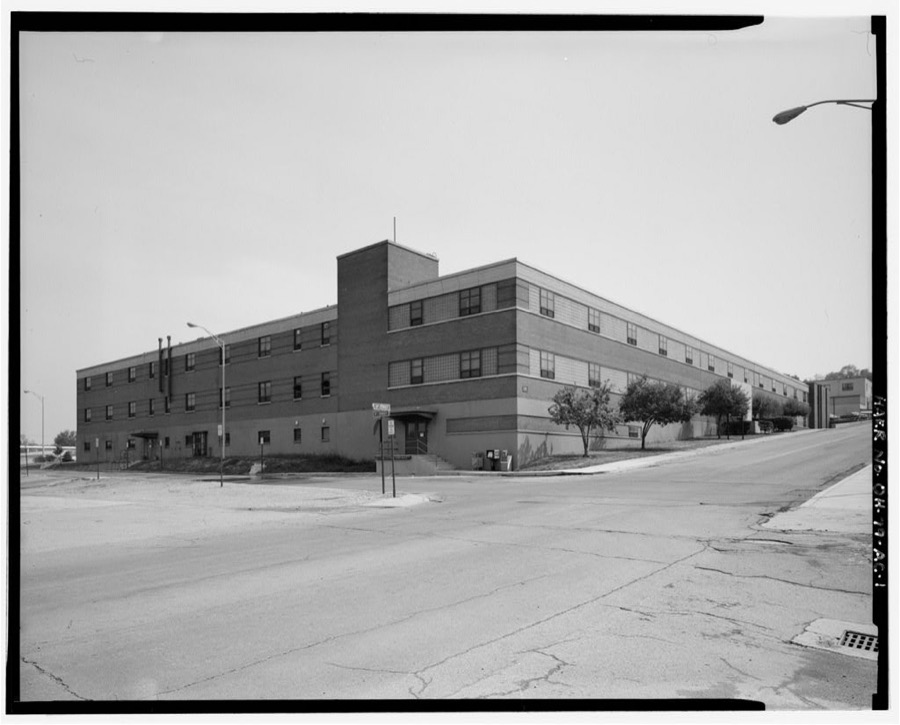
National Home for Disabled Volunteer Soldiers, Central Branch, Mess Hall, 4100 West Third Street, Dayton, Montgomery County, OH
Unattributed, . Library of Congress
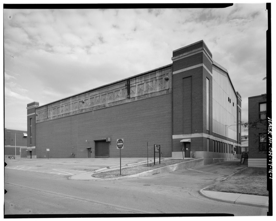
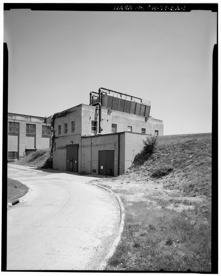
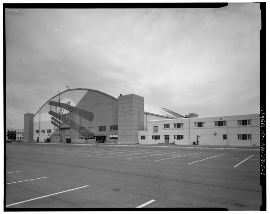
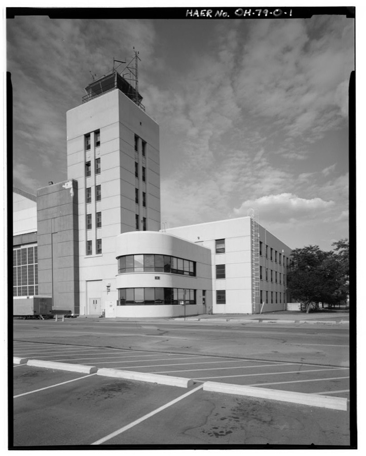
Wright-Patterson Air Force Base, Area B, Building 23, Static Test Laboratory No. 1, Southwest corner of Fifth & E Streets, Dayton, Montgomery County, OH
Unattributed, . Library of Congress
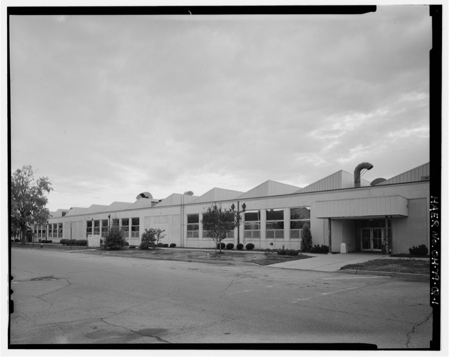
Wright-Patterson Air Force Base, Area B, Building 16, Wright Field Laboratory, On D Street from Third to Fifth Streets, Dayton, Montgomery County, OH
Unattributed, . Library of Congress
Wright-Patterson Air Force Base, Area B, Building 11, Administration Building No. 1, B Street from Third to Fifth Streets, Dayton, Montgomery County, OH
Unattributed, . Library of Congress
National Home for Disabled Volunteer Soldiers, Central Branch, Building No. 4112, 4100 West Third Street, Dayton, Montgomery County, OH
Unattributed, . Library of Congress
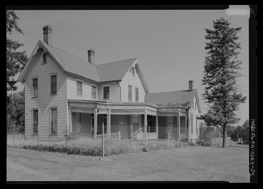
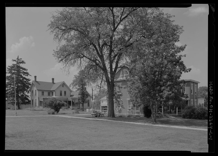
National Home for Disabled Volunteer Soldiers, Central Branch, Ernshaw House, 4100 West Third Street, Dayton, Montgomery County, OH
Unattributed, . Library of Congress
Wright-Patterson Air Force Base, Area B, Building 71D, Propulsion Laboratory, Fuels & Lubricants, Dayton, Montgomery County, OH
Unattributed, . Library of Congress
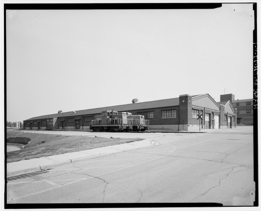
Wright-Patterson Air Force Base, Area B, Building 38, Maintenance Building No. 3, Dayton, Montgomery County, OH
Unattributed, . Library of Congress
National Home for Disabled Volunteer Soldiers, Central Branch, Employee Housing, 4100 West Third Street, Dayton, Montgomery County, OH
Unattributed, . Library of Congress
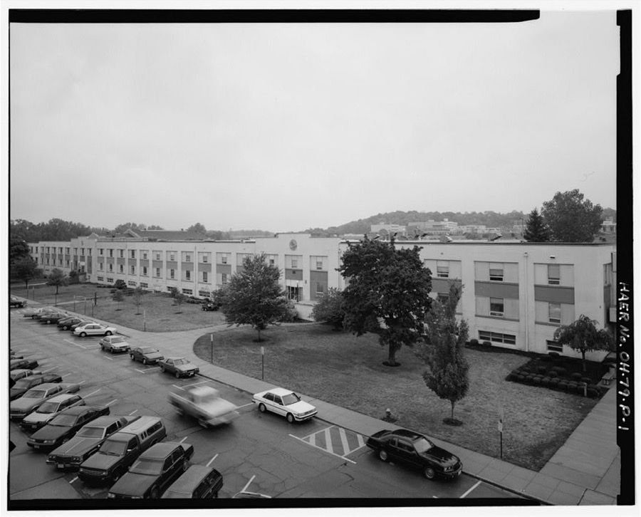
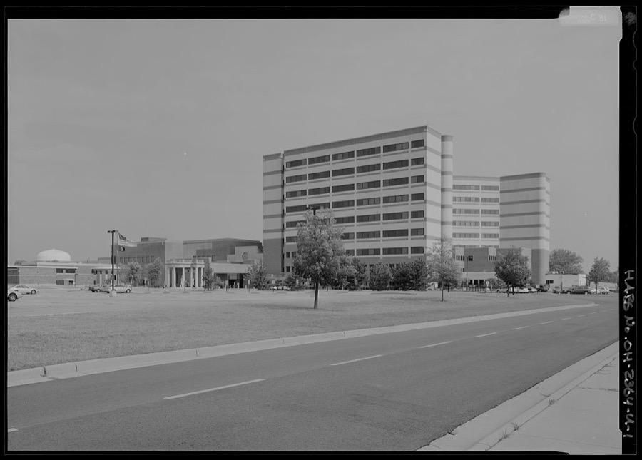
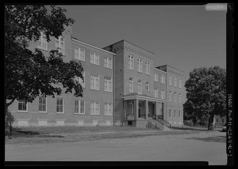
National Home for Disabled Volunteer Soldiers, Central Branch, Patient Tower, 4100 West Third Street, Dayton, Montgomery County, OH
Unattributed, . Library of Congress
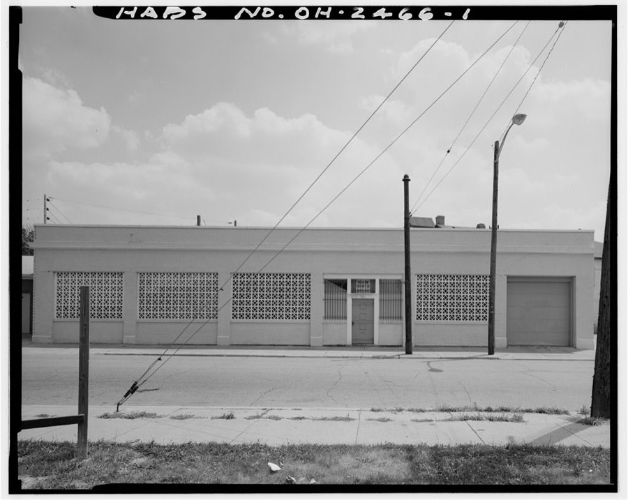
Dayton Motors, 810 North Avenue, Dayton, Montgomery County, OH
Unattributed, . Library of Congress
Wright-Patterson Air Force Base, Area B, Building 28, Aircraft Radio Laboratory, Dayton, Montgomery County, OH
Unattributed, . Library of Congress
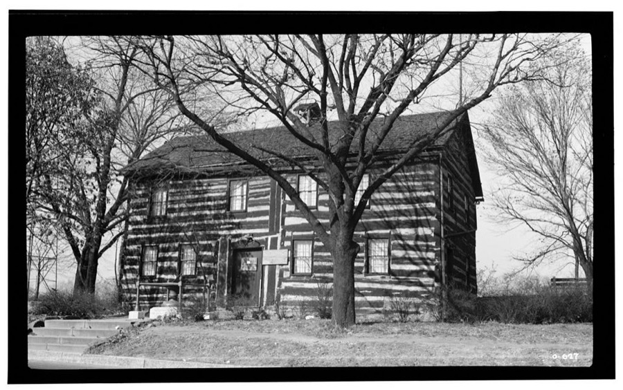
Newcom Tavern, Van Cleve Park, East Monument Avenue, Dayton, Montgomery County, OH
Unattributed, . Library of Congress
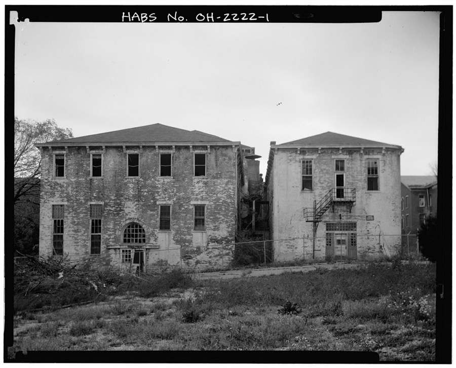
Southern Ohio Lunatic Asylum, 2335 Wayne Avenue, Dayton, Montgomery County, OH
Unattributed, . Library of Congress
National Home for Disabled Volunteer Soldiers, Central Branch, Barracks, 4100 West Third Street, Dayton, Montgomery County, OH
Unattributed, . Library of Congress
Wright-Patterson Air Force Base, Area B, Building 22, Armament Laboratory & Gun Range, On flightline between Tenth & Eleventh Streets, Dayton, Montgomery County, OH
Unattributed, . Library of Congress
Wright-Patterson Air Force Base, Area B, Building 8, Operations & Flight Test Building, Northeast corner of Tenth & C Streets, Dayton, Montgomery County, OH
Unattributed, . Library of Congress

Places on the National Register

117

Every property in this county listed on the National Register of Historic Places, with the year it was listed and the federal nomination document.

Photograph PropertyType ListedReference
Antioch Templebuilding201312001182
Ausenbaugh-McElhenny Housebuilding197575001503
Biltmore Hotelbuilding198282003616
Bimm Fireproof Warehousebuilding201616000461
Bombeck, Erma, Housebuilding201515000043
Bossler, Marcus, Housebuilding198080003170
Bradford, Robert, Housebuilding197979001897
Brooks, James, Housebuilding197575001495
Brown, Samuel N., Housebuilding197777001075
Bull, Jonah, Housebuilding200808001198
Classic Theaterbuilding197575001496
Commercial Buildingbuilding198282001477
Conover Buildingbuilding197575001497
Dayton Arcadebuilding197575001498
Dayton Art Institutebuilding197474001579
Dayton Aviation Heritage National Historical Parksite198801000227
Dayton Canoe Clubbuilding200808000591
Dayton Daily News Buildingbuilding197878002144
Dayton Fire Department Station No. 16building198080003171
Dayton Fire Station No. 14building198080003172
Dayton Power and Light Building Groupdistrict200606000273
Dayton Stove and Cornice Worksbuilding198080003173
Dayton Women's Clubbuilding197575001499
Dayton Young Men's Christian Association Buildingbuilding198888001299
Deeds Carillonstructure200505000756
Deeds' Barnbuilding197979001904
Deerwood Farmbuilding197575001507
Delco Buildingbuilding201616000462
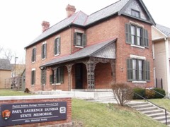
Dunbar, Paul Laurence, Housebuilding196666000619
Eagles Buildingbuilding198282001478
East Third Street Historic Districtdistrict200101000049
Emmanuel's Evangelical Lutheran Churchbuilding199090001292
Engineers Club of Daytonbuilding200707001091
Exposition Hall, Montgomery County Fairgroundsbuilding200303001287
First Lutheran Churchbuilding198383002011
Flory, Joseph, Housebuilding197878002143
Fox Hollowbuilding200606000481
Gilbert, Philip E., Housesbuilding197979001899
Gottschall, Oscar M., Housebuilding197777001076
Grant--Deneau Towerbuilding201616000044
Graphic Arts Buildingbuilding200909000911
Gummer Housebuilding197878002145
Hanitch-Huffman Housebuilding198282003617
Hawthorn Hillbuilding197474001585
Holy Cross Lithuanian Roman Catholic Churchbuilding199191001582
Independent Order of Oddfellows, Dayton Lodge No. 273building198484000109
Insco Apartments Buildingbuilding199493001390
Jacob's Churchbuilding199090001290
Joyce, Jacob O., Housebuilding198383004321
Julienne Girls Catholic High Schoolbuilding200908001297
Kellog, Ethol, Housebuilding197676001498
Kelly Family Homebuilding197575001501
Kemp, Lewis, Housebuilding197575001502
Koehne--Poast Farmbuilding197777001079
Krug Housebuilding199292000973
Kuhns, Benjamin F., Buildingbuilding197878002146
Lafee Buildingbuilding198080003175
Linden Community and Recreation Centerbuilding201414000082
Lindsey Buildingbuilding198585000564
Long--Mueller Housebuilding198787000637
Long--Romspert Housebuilding198787001522
Martindale, Samuel, Housebuilding197878002148
McCormick Manufacturing Company Buildingbuilding200101000050
Memorial Hallbuilding198888001062
Miami-Erie Canal Lock No. 70site198282001479
Miamisburg Moundsite197070000511
Miller, Daniel, Housebuilding197575001504
Montgomery County Courthousebuilding197070000510
Mumma, Jacob H. W., Housebuilding198080003176
Mutual Home & Savings Association Buildingbuilding198282001480
Newcom Housebuilding198080003177
Ohmer, Nicholas, Housebuilding197474001580
Old Post Office And Federal Buildingbuilding197575001505
Pease Homesteadbuilding198080003169
Pollack, Isaac, Housebuilding197474001581
Pretzinger, Rudolph, Housebuilding197979001901
Red Oak--Sherman, William C., Housebuilding200000001064
Reynolds, John R., Housebuilding197676001499
Rohr, David, Mansion And Carriage Housebuilding197878002149
Rubicon Farmbuilding197676001500
Sachs and Pruden Ale Company Buildingbuilding199191000973
Sacred Heart Churchbuilding198787001885
Salem Bear Creek Church, Salem Evangelical Lutheran Churchbuilding199090001291
Schantz, Adam Sr., Housebuilding198080003178
Schriber, Hyman, Buildingbuilding198888000667
Schuter Carpenter Shop and Housebuilding198080003179
Sears, Roebuck and Companybuilding2023100009303
Shuey's Millbuilding197575001508
Sig's General Storebuilding199191000974
Skywood Farmsbuilding199696000117
Smith, Edwin, Housebuilding197474001582
Spitler, Samuel, Housebuilding197373001507
St. Adalbert Polish Catholic Churchbuilding199191001581
St. Mary Roman Catholic Churchbuilding198383002012
St. Mary's Hall, University Of Daytonbuilding197373001508
St. Paul Evangelical Lutheran Church and Parish Hallbuilding2023100009223
Stengel, John S., Housebuilding198383002013
Stivers High Schoolbuilding200101000896
Stump, John, House And Millbuilding197575001509
Summit Street Young Women's Christian Association (YWCA)building2020100004870
Taylorsville Canal Innbuilding197777001078
Trailsendbuilding197979001905
Traxler Mansionbuilding197979001903
Trotwood Railroad Station and Depotbuilding198181000448
Unit III, Dayton Projectbuilding200606000480
United Brethren Publishing Housebuilding199393001391
Victory Theater Buildingbuilding197272001037
Walters, Dr. Jefferson A., Housebuilding197474001583
Watkins Housebuilding197474001578
Westbrock Funeral Homebuilding198888000205
Weustoff and Getz Companybuilding201414000547
Women's Christian Associationbuilding197676001501
Woodland Cemetery Gateway, Chapel And Officebuilding197878002147
Wright Cycle Company--Wright and Wright Printing Officesbuilding198686000236
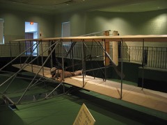
Wright Flyer IIIstructure199090001747
Wright Librarybuilding201313000981

Covered bridges

0

Montgomery County holds 0 covered bridges on the National Register, more than any other property type here. Each is a listed structure with a federal nomination on file.

Digitised newspapers

26 issues

Sampled issues, machine-read from the Library of Congress scan and published page by page, so every headline and column is searchable text.

The Daily Bulletin

Dayton, Ohio, 1942 to 1946. Machine-read from the Library of Congress scan.

The Dayton Forum

Dayton, Ohio, 1913 to 1949. Machine-read from the Library of Congress scan.

Dayton Union News

[Dayton, Ohio], 1940 to 1944. Machine-read from the Library of Congress scan.

Dayton Daily Empire

Dayton [Ohio], 1850 to 1865. Machine-read from the Library of Congress scan.

The Dayton Citizen

Dayton, Ohio, 1950 to 19??. Machine-read from the Library of Congress scan.

The Daily Express

Dayton, Ohio, 1950 to 1955. Machine-read from the Library of Congress scan.

The Ohio Daily-Express

Dayton, Ohio, 1946 to 1950. Machine-read from the Library of Congress scan.

The Daily Empire

Dayton, Ohio, 1865 to 1867. Machine-read from the Library of Congress scan.

Bird's-eye views and land ownership maps

4

Drawn when these were printed as single large sheets: the town seen from the air, and the county divided into its farms with every owner named. Each opens the original at the Library of Congress.

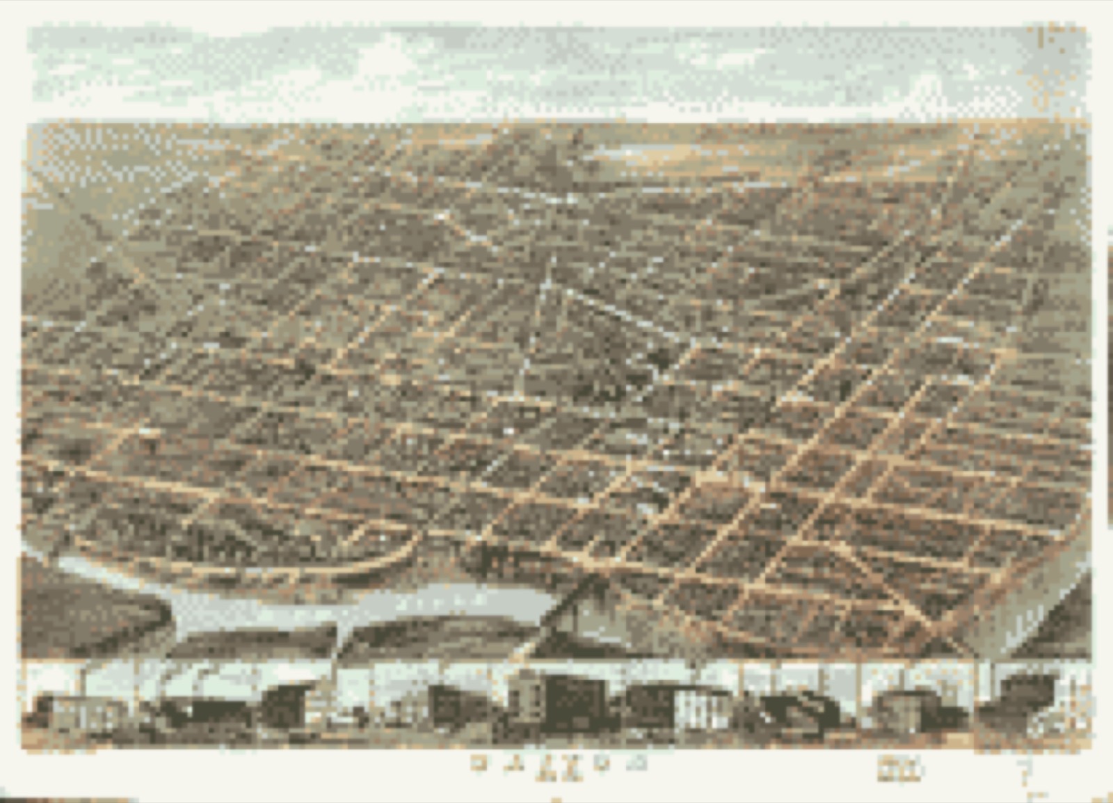
Bird's-eye view, 1870 - Dayton, Ohio 1870
Bird's-eye view (1870) - Dayton, Ohio 1870. Library of Congress.
Land ownership map, 1851 - Map of Montgomery County, Ohio
Land ownership map (1851) - Map of Montgomery County, Ohio. Library of Congress.
Land ownership map, 1857 - Map of Montgomery County, Ohio
Land ownership map (1857) - Map of Montgomery County, Ohio. Library of Congress.
Land ownership map, 1869 - Titus' map of Montgomery County, Ohio
Land ownership map (1869) - Titus' map of Montgomery County, Ohio. Library of Congress.

Photographs from libraries nationwide

7 of 80 shown

Selected from the Digital Public Library of America's 80 image records catalogued for this county. Every one shown here carries a public-domain status or a licence that permits reuse on a site that carries advertising; non-commercial, share-alike and restricted images are excluded. The selection is spread across the county's towns (at most eight per town), so no single institution's bulk upload crowds out the rest. Each opens the holding library's record, and the complete set at the Digital Public Library of America is one click away.

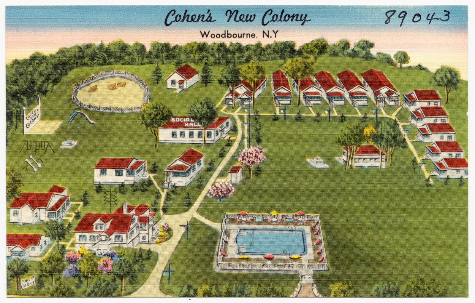
Cohen's New Colony, Woodbourne, N. Y., Boston Public Library - undated
Cohen's New Colony, Woodbourne, N. Y.. Boston Public Library, via the Digital Public Library of America.
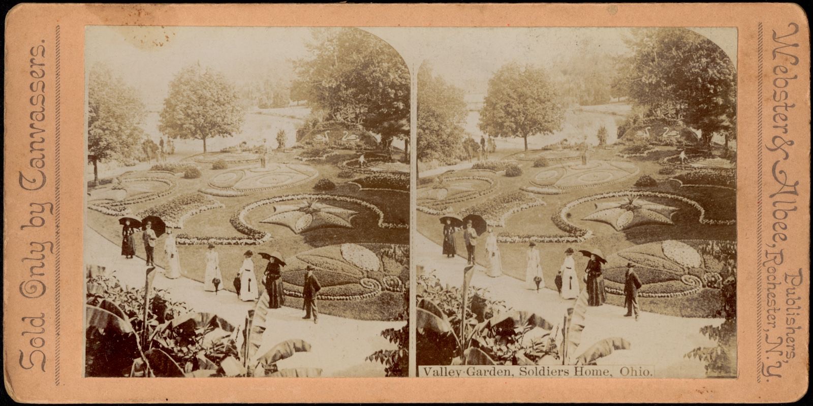
Valley Garden, Soldiers Home, Ohio, Boston Public Library - undated
Valley Garden, Soldiers Home, Ohio. Boston Public Library, via the Digital Public Library of America.
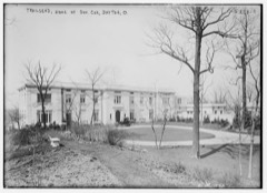
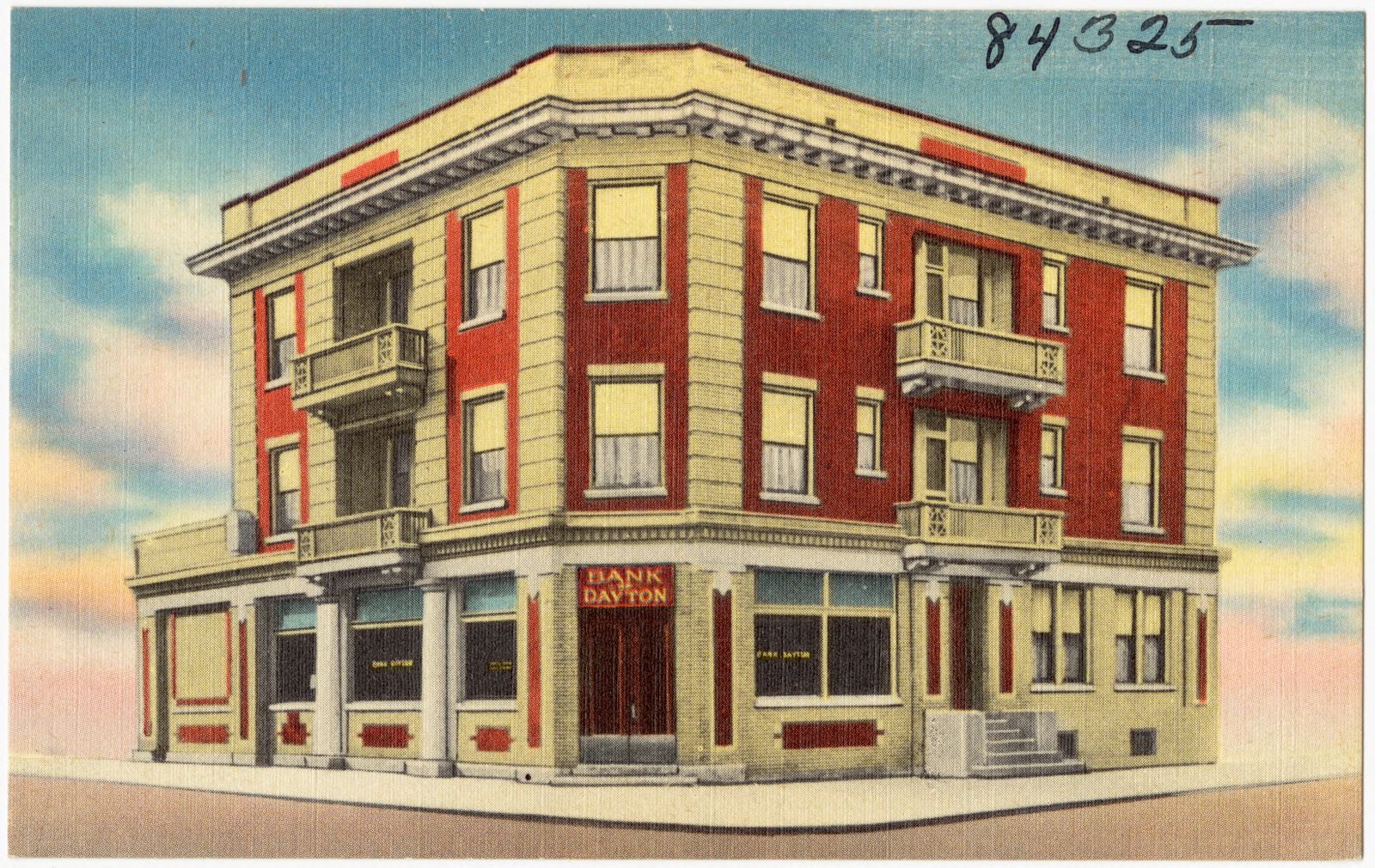
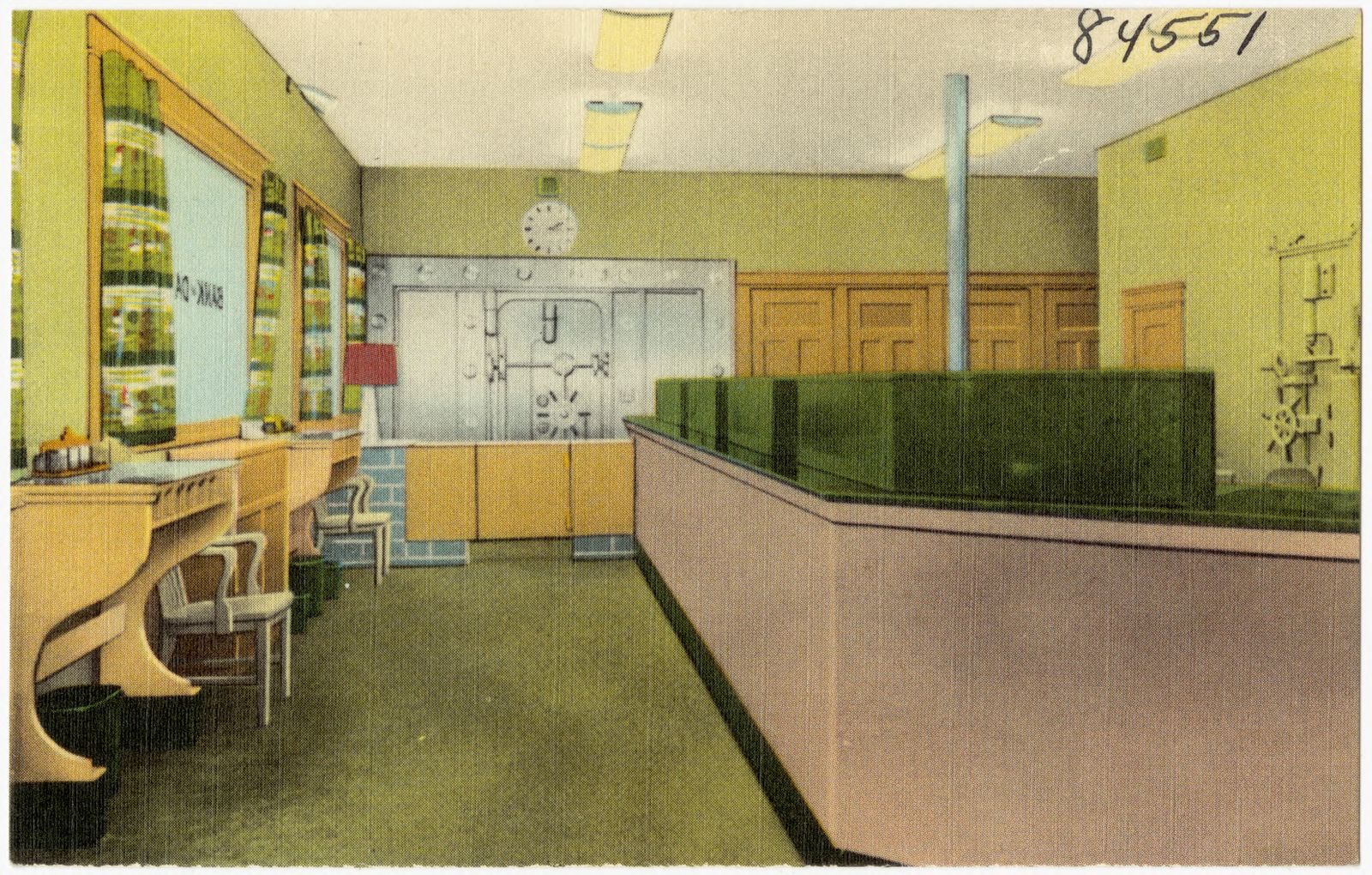
Bank of Dayton, Boston Public Library - undated
Bank of Dayton. Boston Public Library, via the Digital Public Library of America.
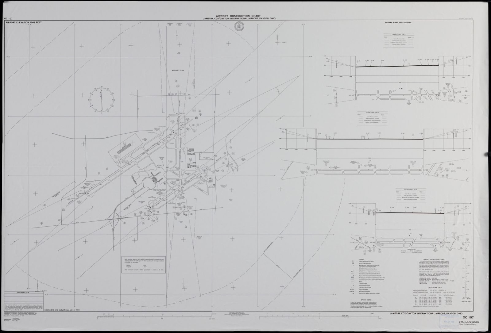
James M. Cox-Dayton International Airport, Dayton, Ohio, Boston Public Library - undated
James M. Cox-Dayton International Airport, Dayton, Ohio. United States. National Ocean Service, Boston Public Library, via the Digital Public Library of America.
Bank of Dayton, Boston Public Library - undated
Bank of Dayton. Boston Public Library, via the Digital Public Library of America.
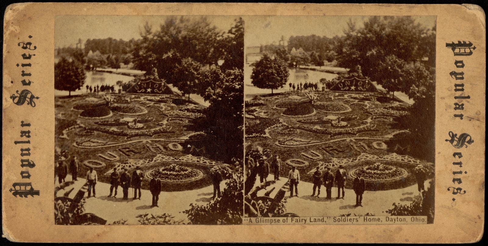
"A glimpse of fairy land," Soldiers' Home, Dayton, Ohio, Boston Public Library - undated
"A glimpse of fairy land," Soldiers' Home, Dayton, Ohio. Boston Public Library, via the Digital Public Library of America.
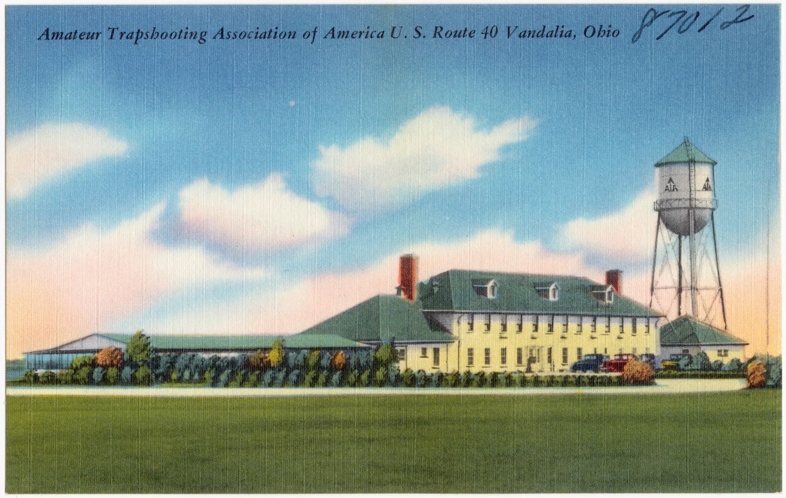
Amateur Trapshooting Association of America U.S. Route 40 Vandalia, Ohio, Boston Public Library - undated
Amateur Trapshooting Association of America U.S. Route 40 Vandalia, Ohio. Boston Public Library, via the Digital Public Library of America.

The county from the air

48 of 555 shown

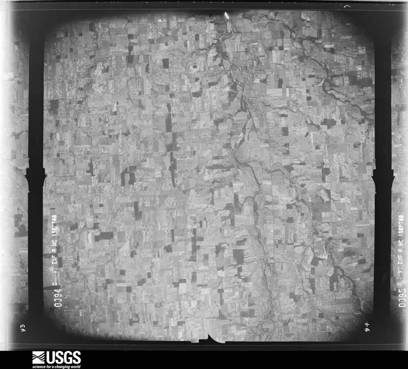
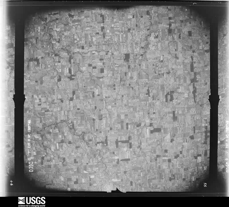
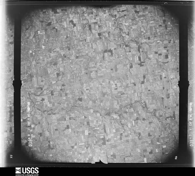
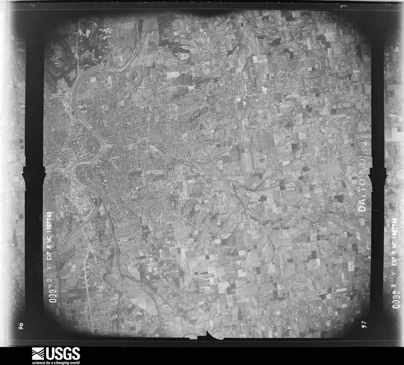
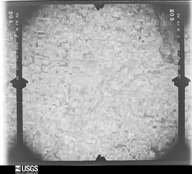
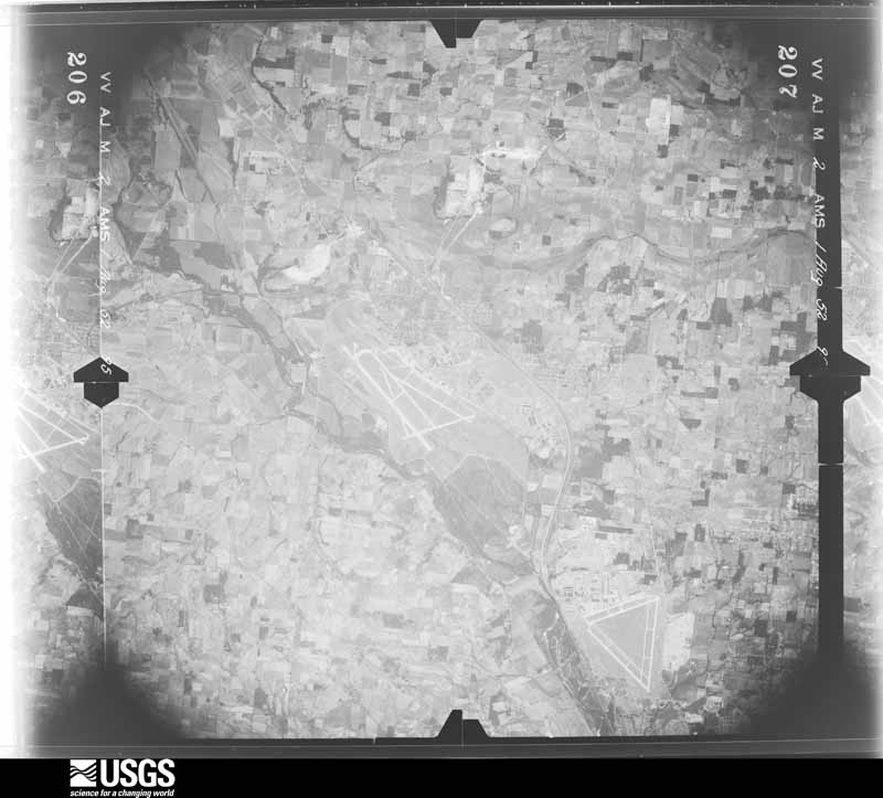
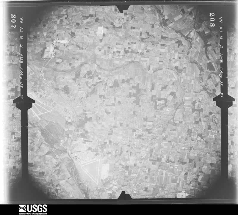
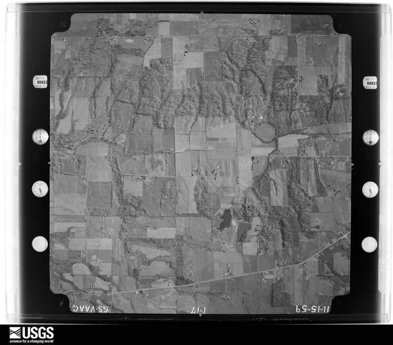
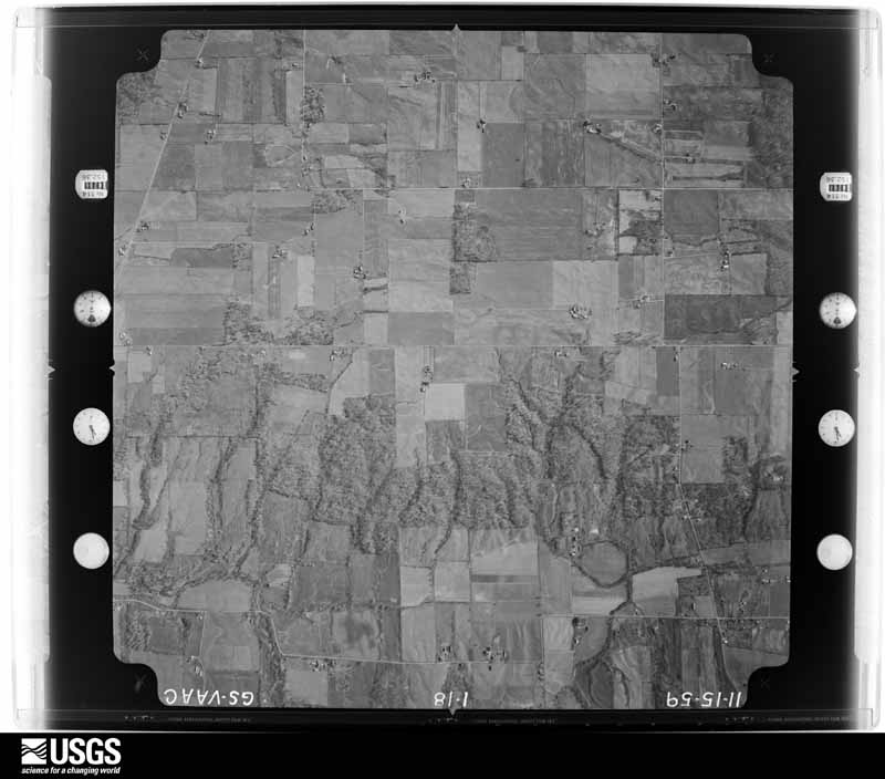
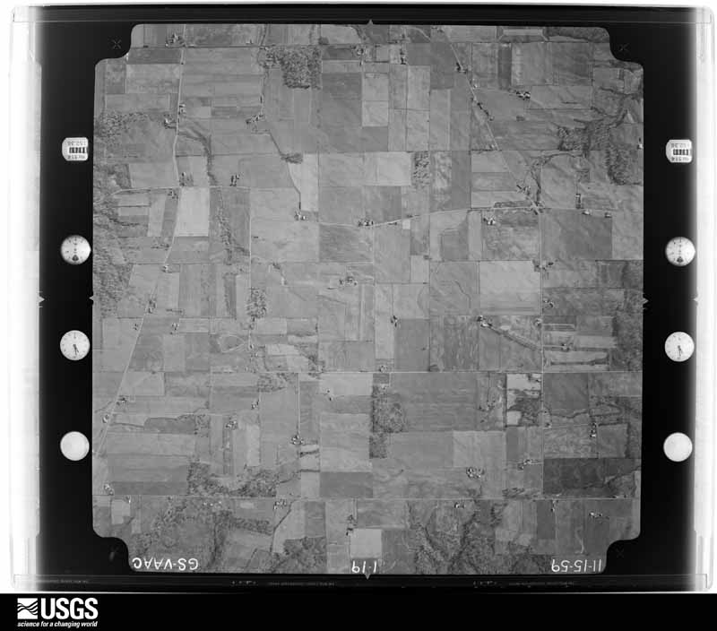
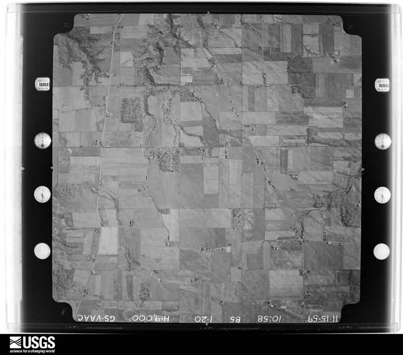
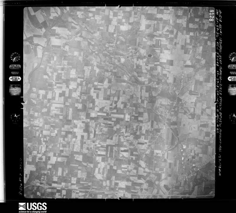
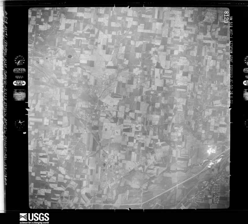
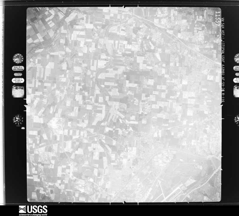
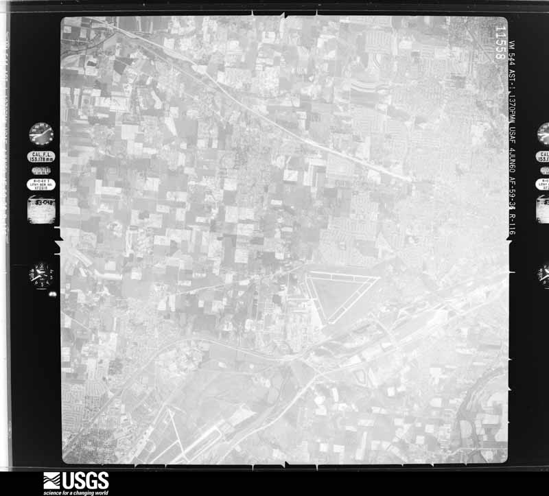
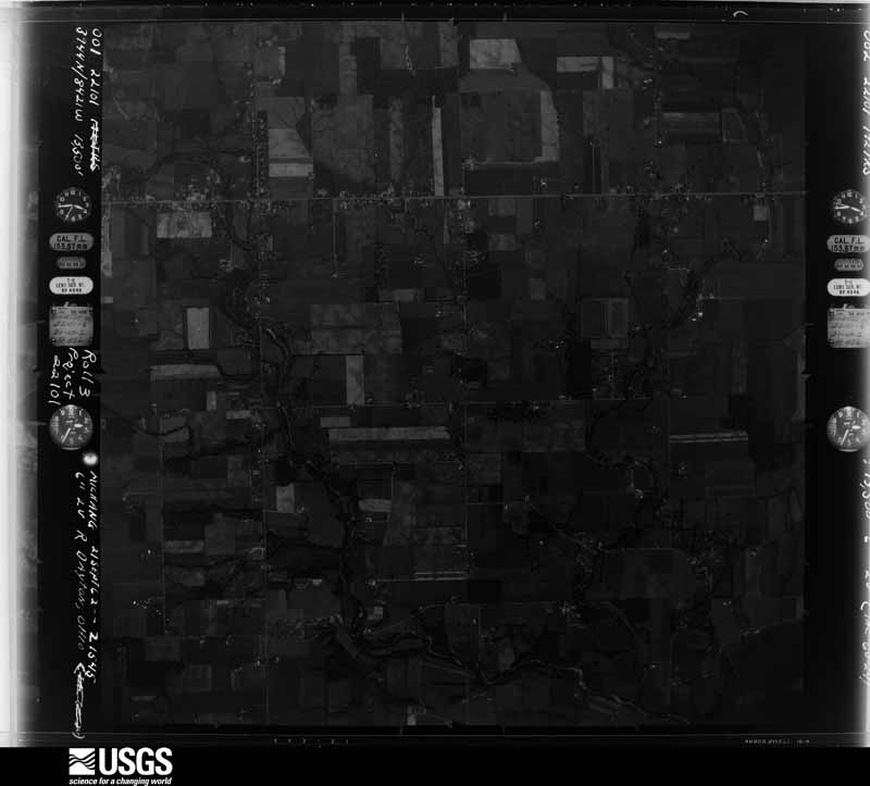
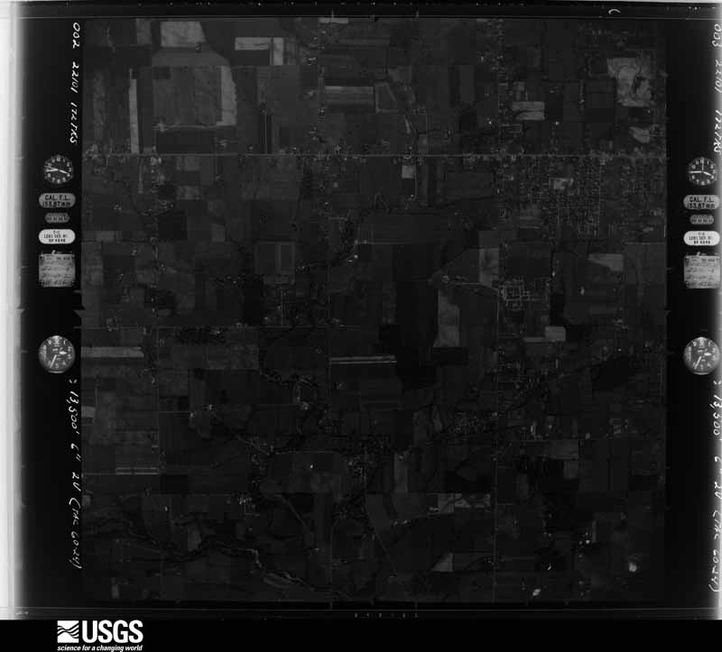
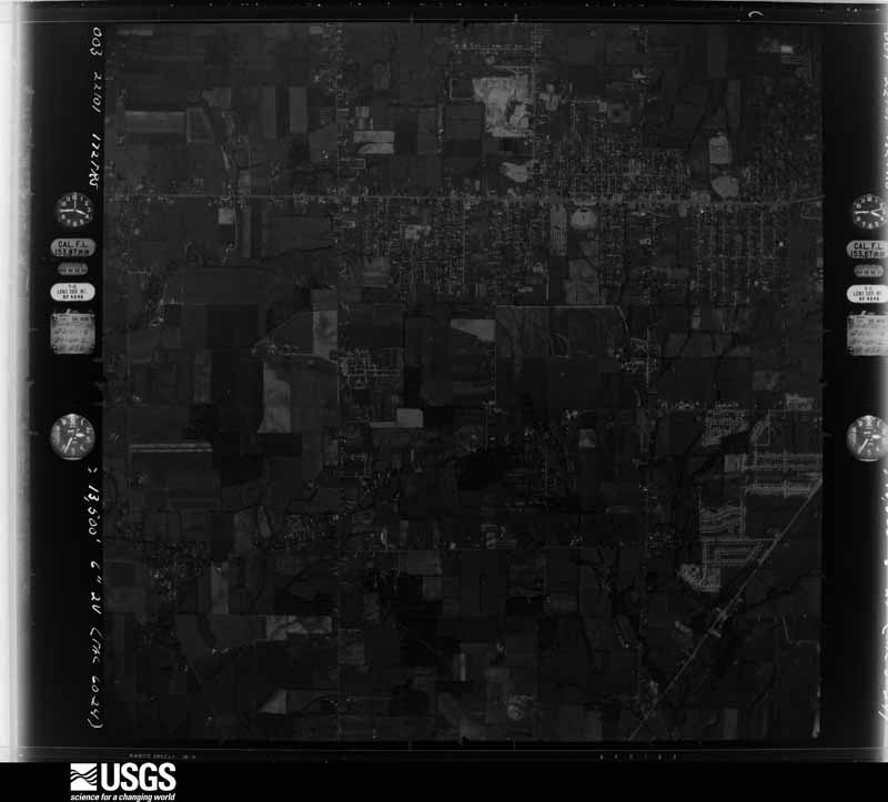
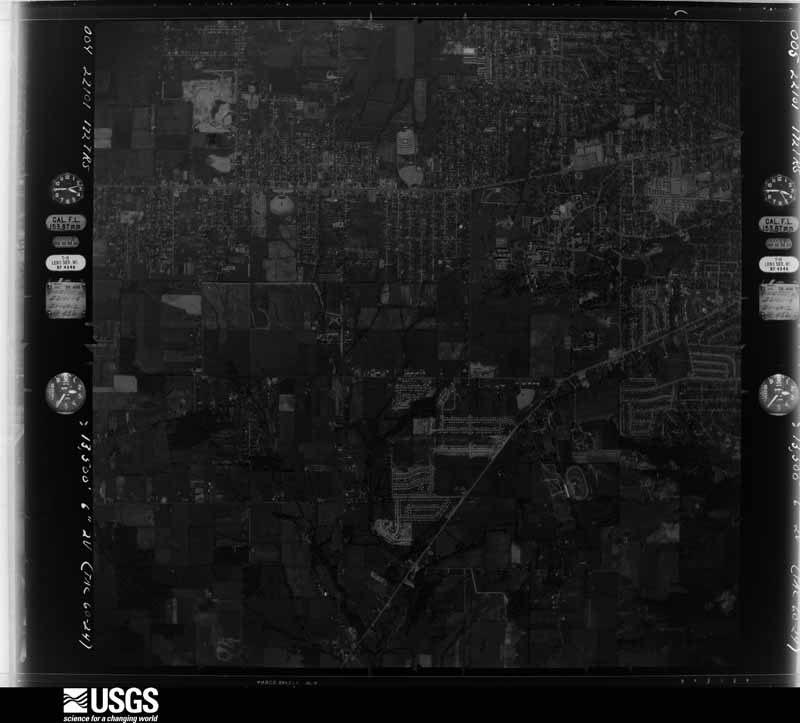
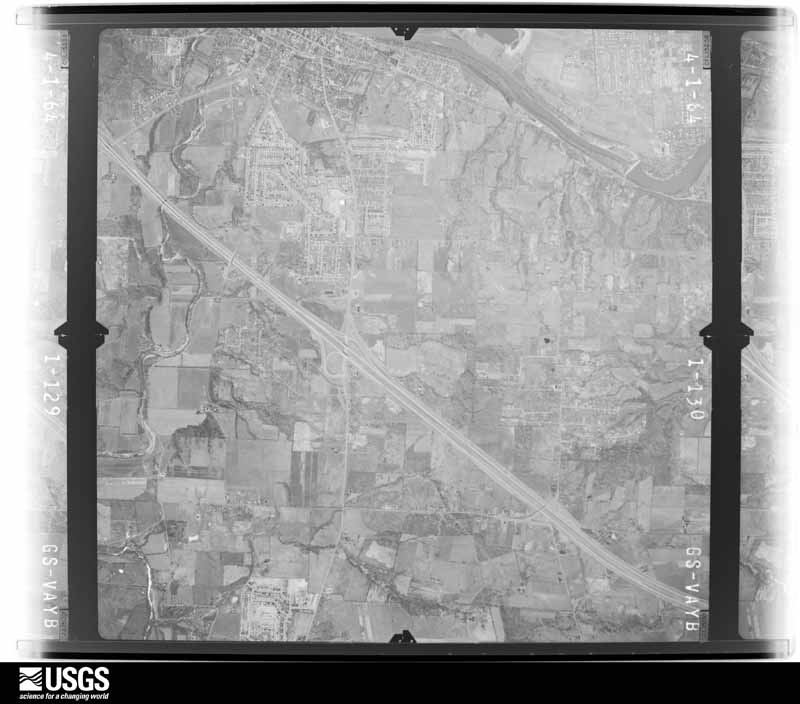
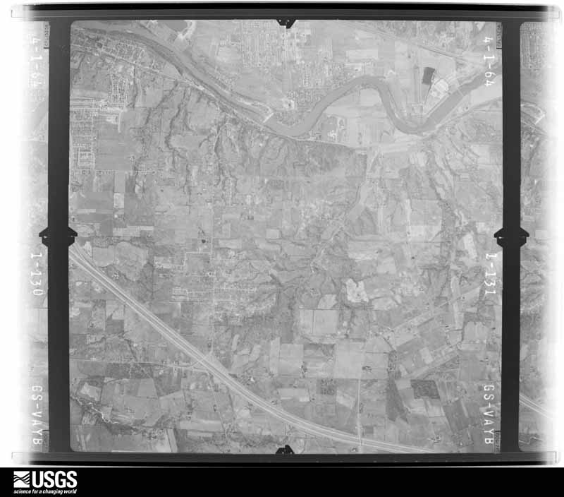
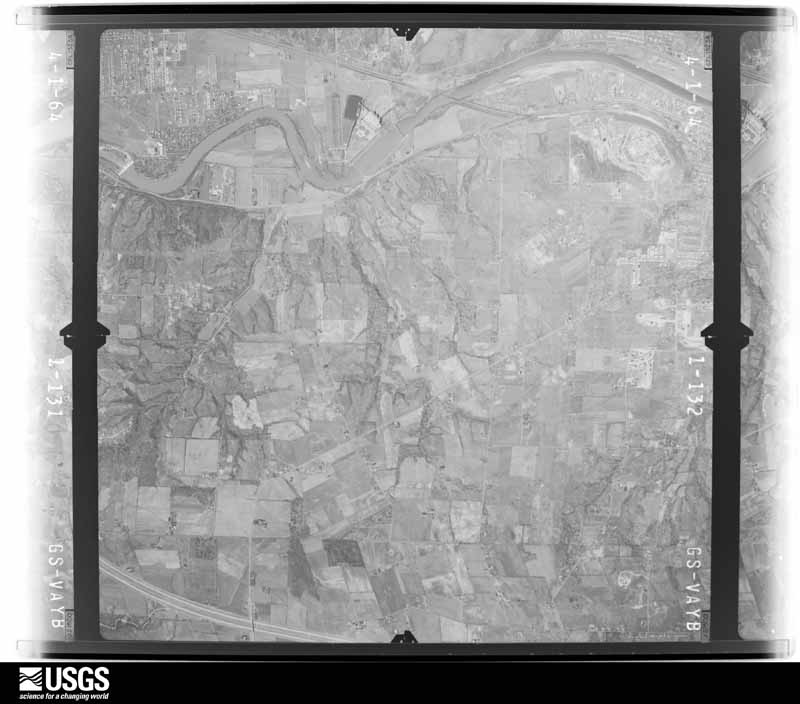
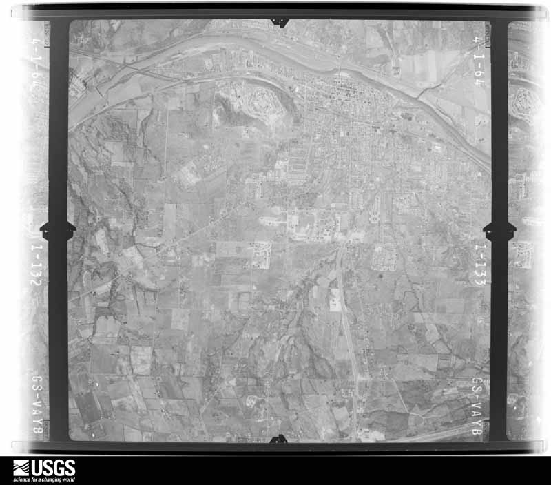
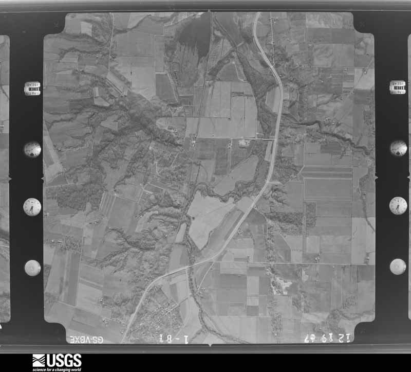
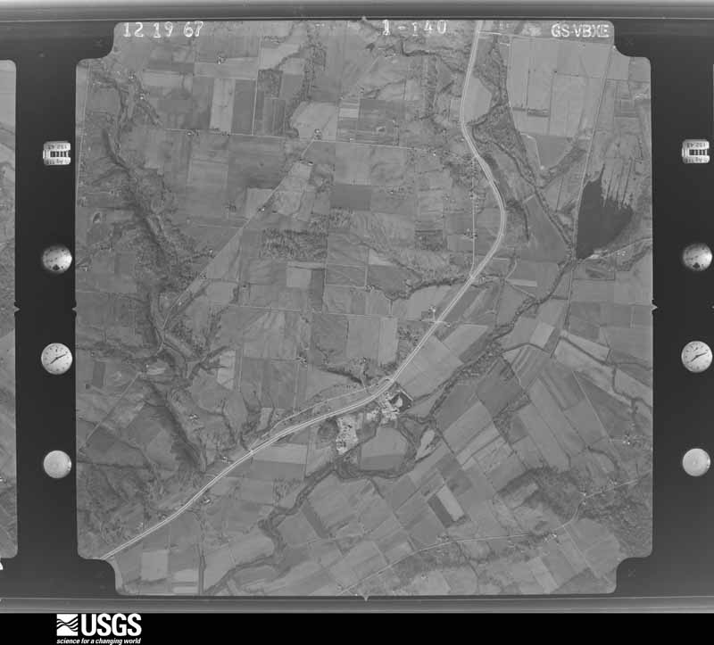
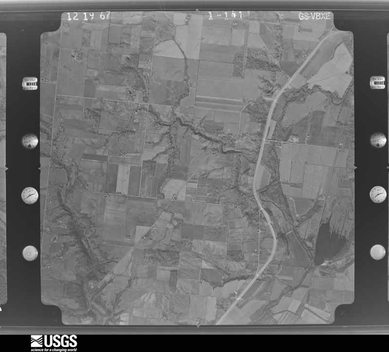
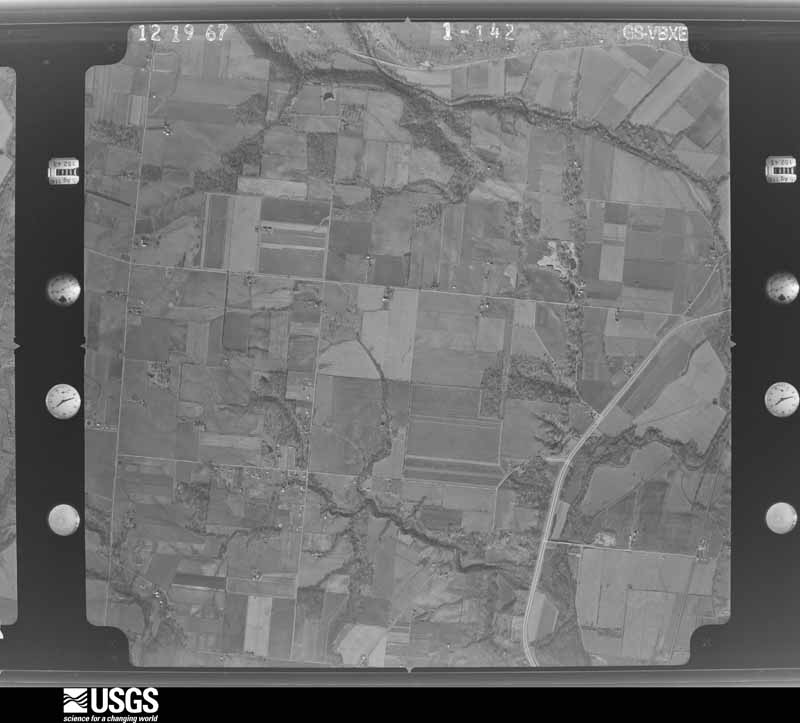
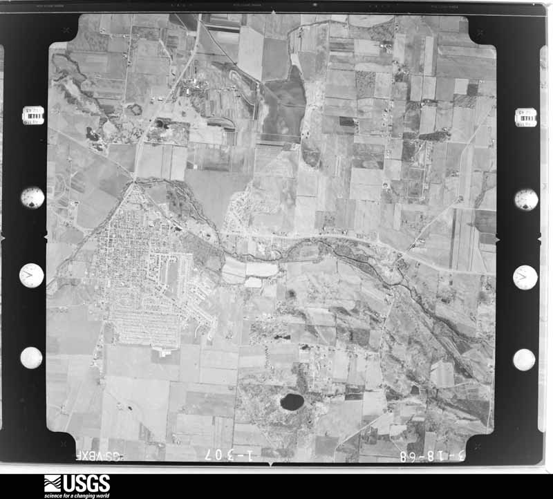
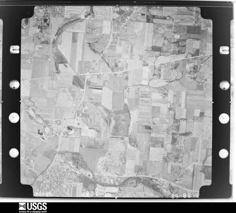
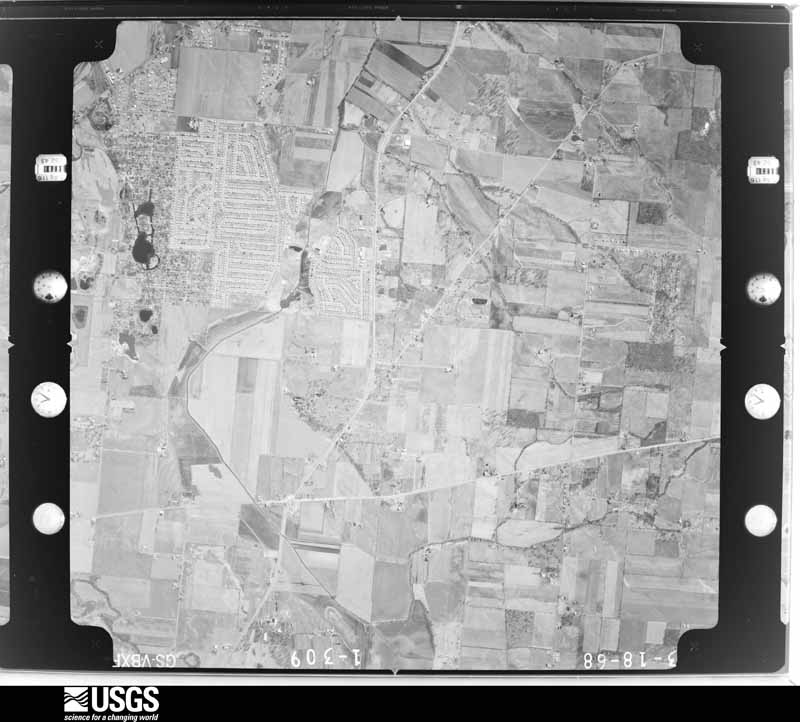
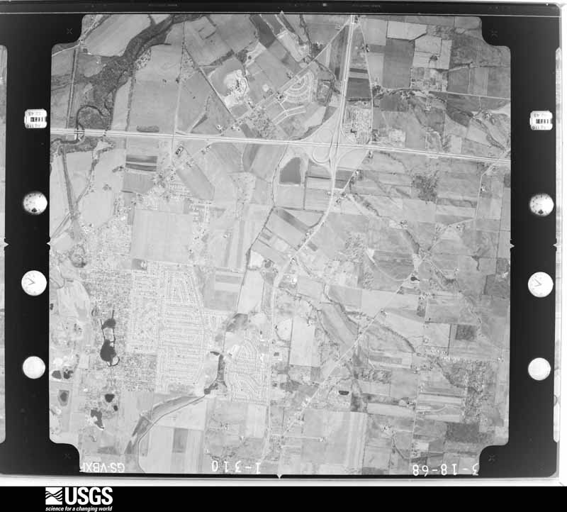
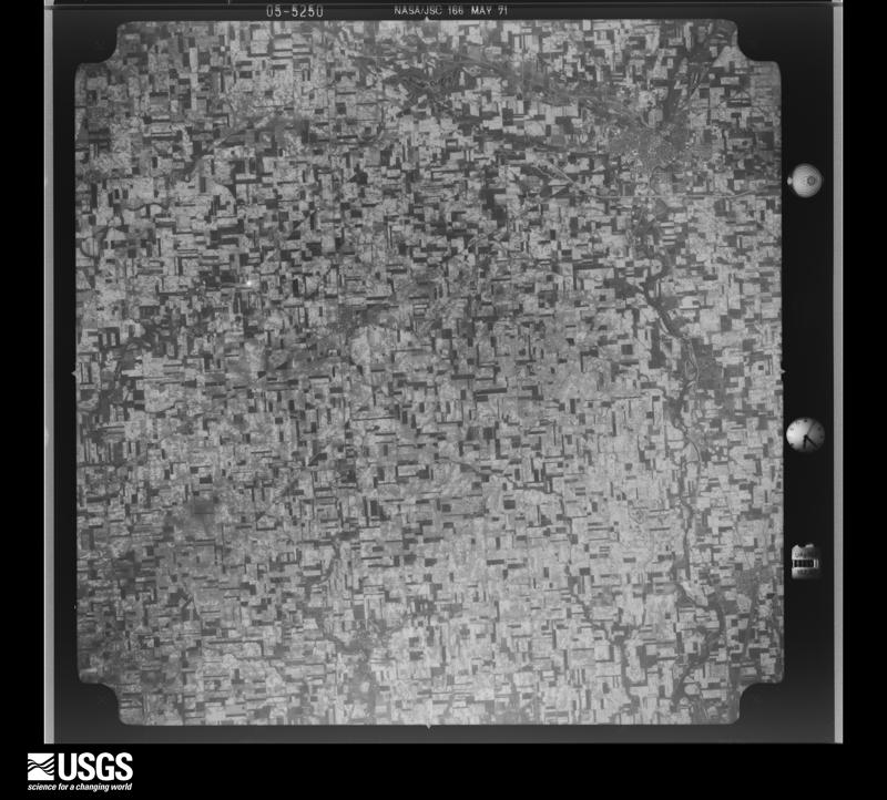
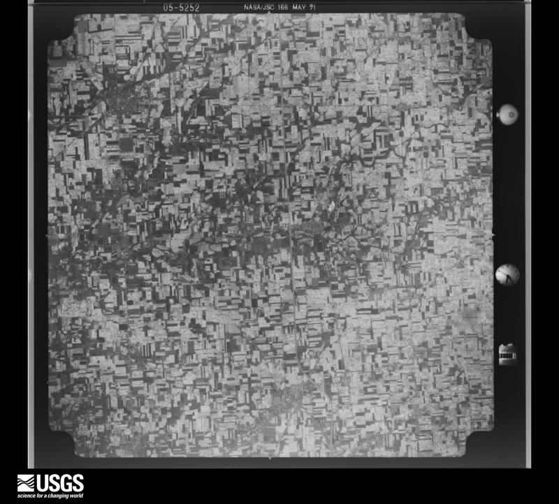
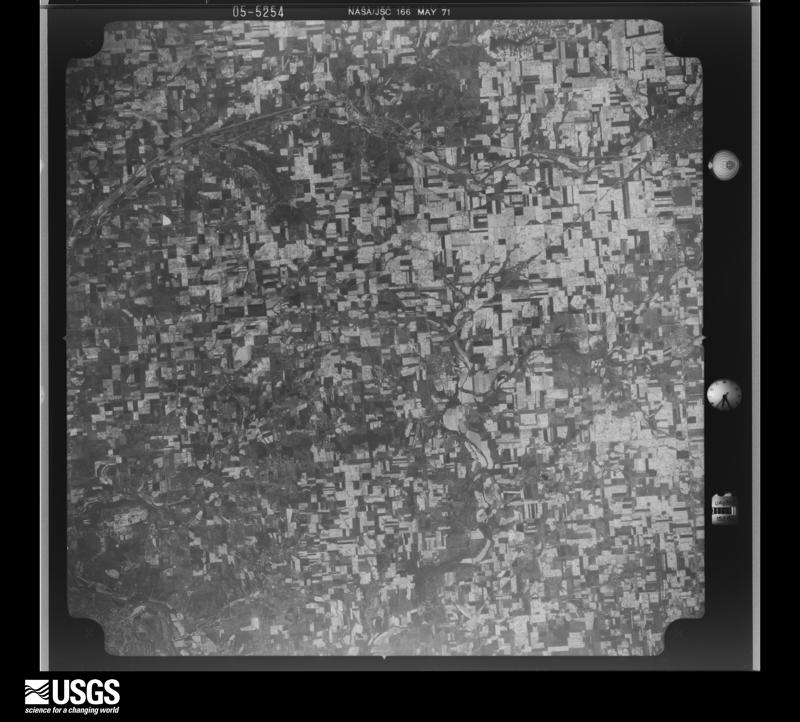
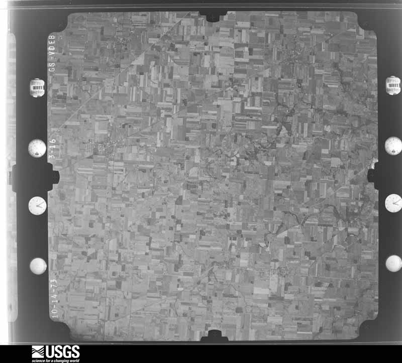
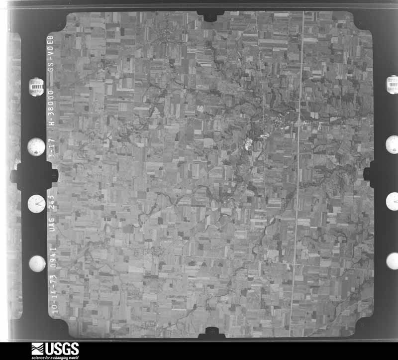
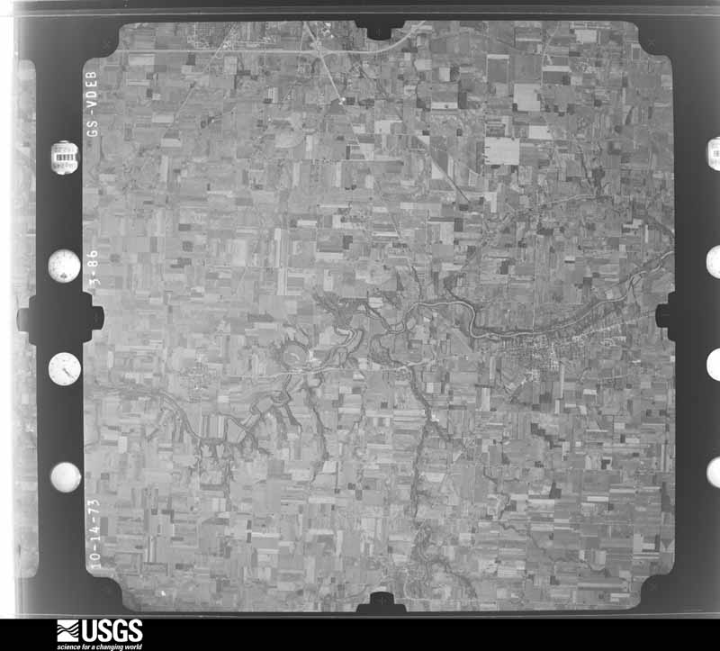
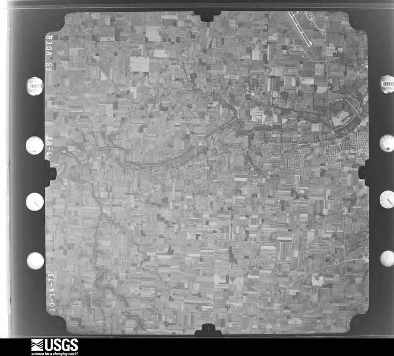
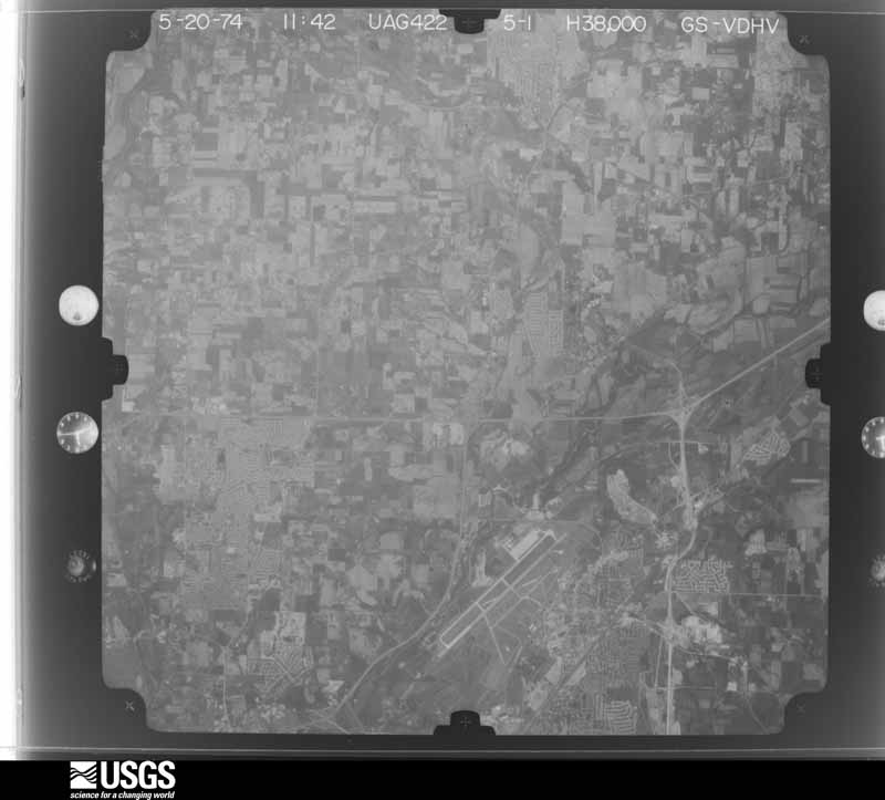
Flown by the U.S. Geological Survey between 1937 and 1989, the Aerial Photo Single Frames collection is the definitive mid-century view of the land: fields, roads and rivers as the camera saw them. 555 frames touch this county; the selection below spreads across the decades of flights (at most four per year), so one flight cannot crowd out the rest. The full set is free to browse and download at EarthExplorer under the dataset Aerial Photo Single Frames.

U.S. Geological Survey aerial photograph, 1948-09-01, scale 1:67634
1948-09-01, scale 1:67634. U.S. Geological Survey aerial photograph.
U.S. Geological Survey aerial photograph, 1948-09-01, scale 1:67634
1948-09-01, scale 1:67634. U.S. Geological Survey aerial photograph.
U.S. Geological Survey aerial photograph, 1948-09-01, scale 1:67634
1948-09-01, scale 1:67634. U.S. Geological Survey aerial photograph.
U.S. Geological Survey aerial photograph, 1948-09-01, scale 1:67634
1948-09-01, scale 1:67634. U.S. Geological Survey aerial photograph.
U.S. Geological Survey aerial photograph, 1952-08-01, scale 1:69000
1952-08-01, scale 1:69000. U.S. Geological Survey aerial photograph.
U.S. Geological Survey aerial photograph, 1952-08-01, scale 1:69000
1952-08-01, scale 1:69000. U.S. Geological Survey aerial photograph.
U.S. Geological Survey aerial photograph, 1952-08-01, scale 1:69000
1952-08-01, scale 1:69000. U.S. Geological Survey aerial photograph.
U.S. Geological Survey aerial photograph, 1952-08-01, scale 1:69000
1952-08-01, scale 1:69000. U.S. Geological Survey aerial photograph.
U.S. Geological Survey aerial photograph, 1959-11-21, scale 1:18000
1959-11-21, scale 1:18000. U.S. Geological Survey aerial photograph.
U.S. Geological Survey aerial photograph, 1959-11-21, scale 1:18000
1959-11-21, scale 1:18000. U.S. Geological Survey aerial photograph.
U.S. Geological Survey aerial photograph, 1959-11-21, scale 1:18000
1959-11-21, scale 1:18000. U.S. Geological Survey aerial photograph.
U.S. Geological Survey aerial photograph, 1959-11-21, scale 1:18000
1959-11-21, scale 1:18000. U.S. Geological Survey aerial photograph.
U.S. Geological Survey aerial photograph, 1960-05-15, scale 1:60000
1960-05-15, scale 1:60000. U.S. Geological Survey aerial photograph.
U.S. Geological Survey aerial photograph, 1960-05-15, scale 1:60000
1960-05-15, scale 1:60000. U.S. Geological Survey aerial photograph.
U.S. Geological Survey aerial photograph, 1960-06-04, scale 1:60000
1960-06-04, scale 1:60000. U.S. Geological Survey aerial photograph.
U.S. Geological Survey aerial photograph, 1960-06-04, scale 1:60000
1960-06-04, scale 1:60000. U.S. Geological Survey aerial photograph.
U.S. Geological Survey aerial photograph, 1962-09-21, scale 1:25998
1962-09-21, scale 1:25998. U.S. Geological Survey aerial photograph.
U.S. Geological Survey aerial photograph, 1962-09-21, scale 1:25998
1962-09-21, scale 1:25998. U.S. Geological Survey aerial photograph.
U.S. Geological Survey aerial photograph, 1962-09-21, scale 1:25998
1962-09-21, scale 1:25998. U.S. Geological Survey aerial photograph.
U.S. Geological Survey aerial photograph, 1962-09-21, scale 1:25998
1962-09-21, scale 1:25998. U.S. Geological Survey aerial photograph.
U.S. Geological Survey aerial photograph, 1964-04-15, scale 1:24000
1964-04-15, scale 1:24000. U.S. Geological Survey aerial photograph.
U.S. Geological Survey aerial photograph, 1964-04-15, scale 1:24000
1964-04-15, scale 1:24000. U.S. Geological Survey aerial photograph.
U.S. Geological Survey aerial photograph, 1964-04-15, scale 1:24000
1964-04-15, scale 1:24000. U.S. Geological Survey aerial photograph.
U.S. Geological Survey aerial photograph, 1964-04-15, scale 1:24000
1964-04-15, scale 1:24000. U.S. Geological Survey aerial photograph.
U.S. Geological Survey aerial photograph, 1967-12-19, scale 1:24000
1967-12-19, scale 1:24000. U.S. Geological Survey aerial photograph.
U.S. Geological Survey aerial photograph, 1967-12-19, scale 1:24000
1967-12-19, scale 1:24000. U.S. Geological Survey aerial photograph.
U.S. Geological Survey aerial photograph, 1967-12-19, scale 1:24000
1967-12-19, scale 1:24000. U.S. Geological Survey aerial photograph.
U.S. Geological Survey aerial photograph, 1967-12-19, scale 1:24000
1967-12-19, scale 1:24000. U.S. Geological Survey aerial photograph.
U.S. Geological Survey aerial photograph, 1968-03-18, scale 1:24000
1968-03-18, scale 1:24000. U.S. Geological Survey aerial photograph.
U.S. Geological Survey aerial photograph, 1968-03-18, scale 1:24000
1968-03-18, scale 1:24000. U.S. Geological Survey aerial photograph.
U.S. Geological Survey aerial photograph, 1968-03-18, scale 1:24000
1968-03-18, scale 1:24000. U.S. Geological Survey aerial photograph.
U.S. Geological Survey aerial photograph, 1968-03-18, scale 1:24000
1968-03-18, scale 1:24000. U.S. Geological Survey aerial photograph.
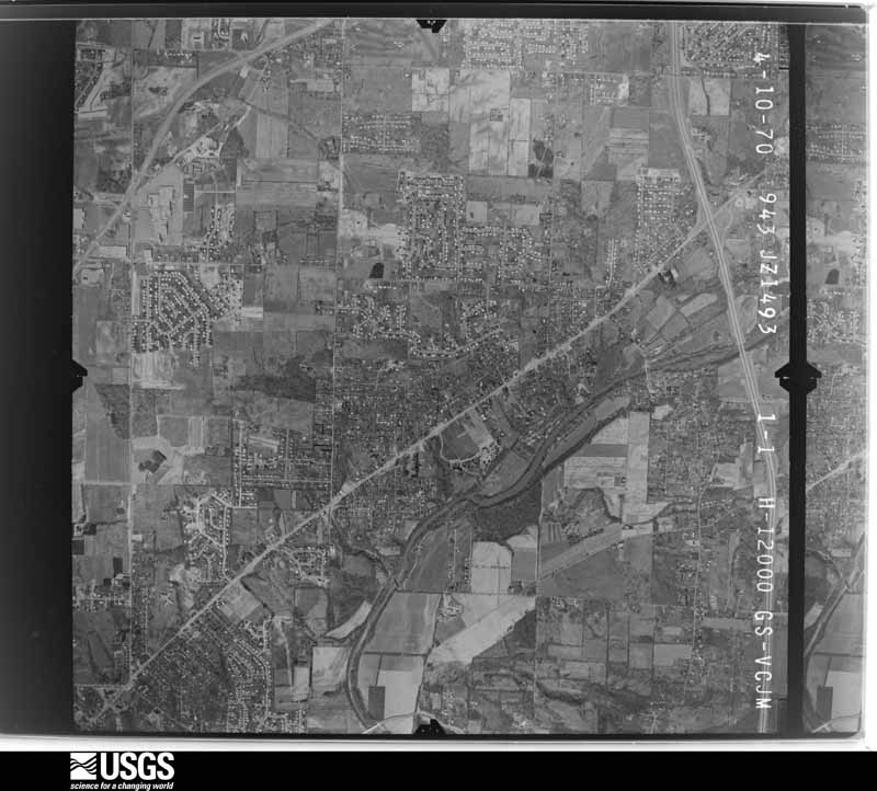
U.S. Geological Survey aerial photograph, 1970-04-10, scale 1:24000
1970-04-10, scale 1:24000. U.S. Geological Survey aerial photograph.
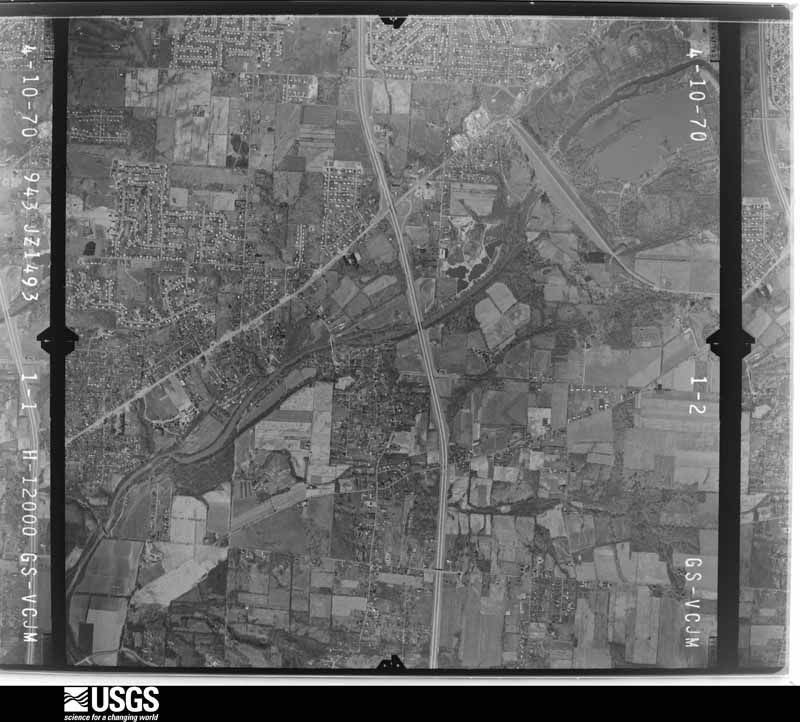
U.S. Geological Survey aerial photograph, 1970-04-10, scale 1:24000
1970-04-10, scale 1:24000. U.S. Geological Survey aerial photograph.
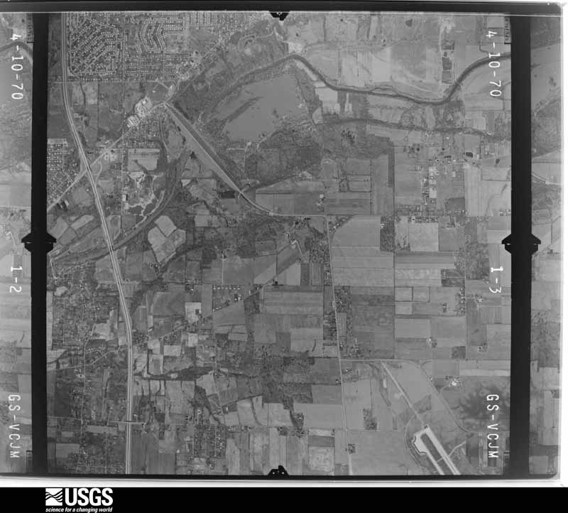
U.S. Geological Survey aerial photograph, 1970-04-10, scale 1:24000
1970-04-10, scale 1:24000. U.S. Geological Survey aerial photograph.
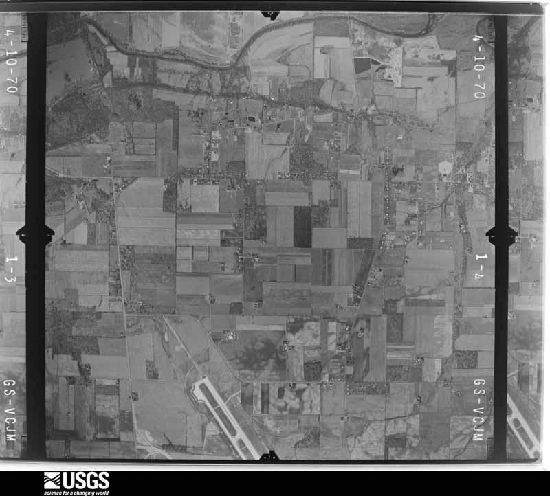
U.S. Geological Survey aerial photograph, 1970-04-10, scale 1:24000
1970-04-10, scale 1:24000. U.S. Geological Survey aerial photograph.
U.S. Geological Survey aerial photograph, 1971-05-16, scale 1:121613
1971-05-16, scale 1:121613. U.S. Geological Survey aerial photograph.
U.S. Geological Survey aerial photograph, 1971-05-16, scale 1:120281
1971-05-16, scale 1:120281. U.S. Geological Survey aerial photograph.
U.S. Geological Survey aerial photograph, 1971-05-16, scale 1:122586
1971-05-16, scale 1:122586. U.S. Geological Survey aerial photograph.
U.S. Geological Survey aerial photograph, 1971-05-16, scale 1:119184
1971-05-16, scale 1:119184. U.S. Geological Survey aerial photograph.
U.S. Geological Survey aerial photograph, 1973-10-01, scale 1:76000
1973-10-01, scale 1:76000. U.S. Geological Survey aerial photograph.
U.S. Geological Survey aerial photograph, 1973-10-01, scale 1:76000
1973-10-01, scale 1:76000. U.S. Geological Survey aerial photograph.
U.S. Geological Survey aerial photograph, 1973-10-01, scale 1:76000
1973-10-01, scale 1:76000. U.S. Geological Survey aerial photograph.
U.S. Geological Survey aerial photograph, 1973-10-01, scale 1:76000
1973-10-01, scale 1:76000. U.S. Geological Survey aerial photograph.
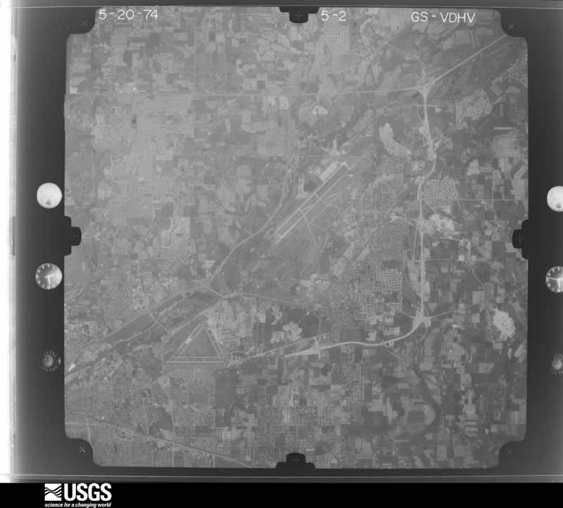
U.S. Geological Survey aerial photograph, 1974-05-01, scale 1:76000
1974-05-01, scale 1:76000. U.S. Geological Survey aerial photograph.
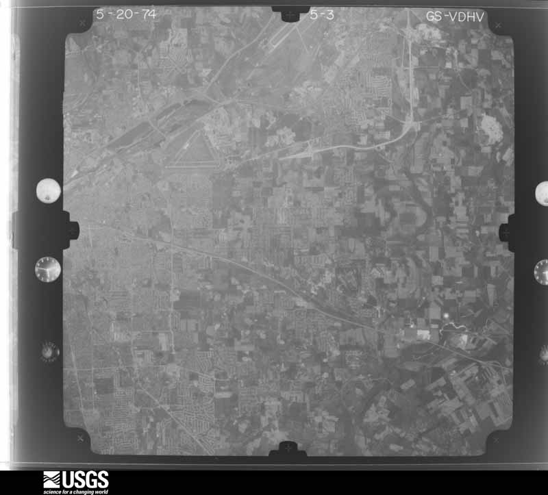
U.S. Geological Survey aerial photograph, 1974-05-01, scale 1:76000
1974-05-01, scale 1:76000. U.S. Geological Survey aerial photograph.
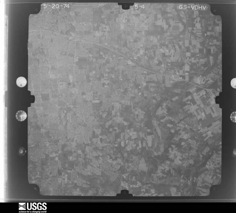
U.S. Geological Survey aerial photograph, 1974-05-01, scale 1:76000
1974-05-01, scale 1:76000. U.S. Geological Survey aerial photograph.
U.S. Geological Survey aerial photograph, 1974-05-01, scale 1:76000
1974-05-01, scale 1:76000. U.S. Geological Survey aerial photograph.

City directories

1 volume

The "who lived here, by year" answer: pre-1929 public-domain directory volumes naming the county's people, machine-read and searchable as text.

Weather records

66 stations, 21 gages

The thermometers that kept this county's weather, and the gages that watched its rivers, as the federal records hold them. The extremes below are measured values from those records, not estimates.

The 1950 census, district by district

221 districts

Who lived here in 1950, one enumeration district at a time, as the Census Bureau described each district. Each row opens its official National Archives result, with Population Schedules and ED Maps available there.

  • 57-1Butler township: Vandalia village: Vandalia village - That part Bounded by Village limits; Village limits; National; Perry, Clay, Troy, Village limits
  • 57-2Vandalia village - That part Bounded by Village limits; Troy, Clay, Perry, National, Troy, Village limits; Village limits; Village limits
  • 57-3Vandalia village - That part Bounded by National, Village limits; Village limits; Village limits; Troy
  • 57-4Butler township - That part Bounded by County line; County line, Township line; U.S. Hwy. 40, Vandalia village limits, U.S. Hwy. 40; Peter Pike
  • 57-5Butler township - That part Bounded by County line; Peter Pike; U.S. Hwy. 40; Township line
  • 57-6Butler township - That part Bounded by Frederick Pike, Peter Pike; Township line; U.S. Hwy. 40
  • 57-7Butler township - That part Bounded by U.S. Hwy. 40; Peter Pike; Frederick Pike
  • 57-8Butler township - That part Bounded by U.S. Hwy. 40, Vandalia village limits; Old U.S. Hwy. 25; Township line; Peter Pike
  • 57-9Butler township - That part Bounded by Vandalia village limits, U.S. Hwy. 40; Township line; Township line; Old U.S. Hwy. 25
  • 57-10Clayton village, comprising parts of Clay and Randolph townships: Clayton village - That part in Clay township
  • 57-11Clayton village - That part in Randolph township
  • 57-12Clay township, outside Clayton village: Brookville village: Brookville village - That part Bounded by Village limits; Village limits; Hay Ave., Columbia, Hay Ave., Wolf Creek, Western Ave.; Wolf Creek
  • 57-13Brookville village - That part Bounded by Village limits; Wolf Creek; Village limits; Village limits
  • 57-14Brookville village - That part Bounded by Western Ave., Wolf Creek, Hay Ave., Columbia, Hay Ave.; Village limits; Village limits; Wolf Creek
  • 57-15Phillipsburg village: Phillipsburg village - That part northeast of State
  • 57-16Phillipsburg village - That part southwest of State
  • 57-17Verona village - That part in Montgomery County, comprising part of Clay township (Remainder of Verona village is in Harrison township, Preble County)
  • 57-18Clay township - That part north of U.S. Hwy. 40 and east of State Hwy. 49, outside Phillipsburg village
  • 57-19Clay township - That part north of U.S. Hwy. 40, west of State Hwy. 49, and east of Dodson Pike, outside Phillipsburg village
  • 57-20Clay township - That part north of U.S. Hwy. 40 and west of Dodson Pike, outside Verona village
  • 57-21Clay township - That part south of U.S. Hwy. 40 and west of State Hwy. 311, outside Brookville village
  • 57-22Clay township - That part south of U.S. Hwy. 40 and east of State Hwy. 311, outside Brookville and Clayton villages (Remainder of Clay township is in Clayton village)
  • 57-23German township: Germantown village: Germantown village - That part Bounded by Village limits; Village limits; Market; New York Central Railroad
  • 57-24Germantown village - That part Bounded by Village limits; New York Central Railroad; Market, Winchester Rd.; Village limits
  • 57-25Germantown village - That part Bounded by Winchester Rd., Market; New York Central Railroad; Village limits; Village limits
  • 57-26Germantown village - That part Bounded by Market; Village limits; Village limits; New York Central Railroad
  • 57-27German township - That part east of State Hwy. 123, outside Germantown village
  • 57-28German township - That part west of State Hwy. 123 and north of State Hwy. 725, outside Germantown village
  • 57-29German township - That part west of State Hwy. 123 and south of State Hwy. 725, outside Germantown village
  • 57-30Harrison township: Harrison township - That part (Tract MC - 68 - part) Bounded by Township line; Township line; Township line; Baltimore and Ohio Railroad, Wagoner Ford Rd., Webster Dr., Timber Lane, Dixie Hwy. (U.S. Hwy. 25), Rector Ave., Outing Park, Needmore Rd., Dixie Hwy. (U.S. Hwy. 25)
  • 57-31Harrison township - That part (Tract MC - 68 - part) Bounded by Arthur Ave., Polk, Harding Ave.; Dixie Hwy. (U.S. Hwy. 25), Needmore Rd., Outing Park, Rector, Dixie Hwy. (U.S. Hwy. 25); Ensley Rd.; New Troy Pike
  • 57-32Harrison township - That part (Tract MC - 68 - part) Bounded by Township line; Dixie Hwy. (U.S. Hwy. 25), Harding Ave., Polk, Arthur Ave. New Troy Pike; Frederick Rd., Shoop Mill Rd.; Stillwater River
  • 57-33Harrison township - That part (Tract MC - 68 - part) Bounded by Ensley Rd., Timber Lane; Webster Dr.; Wagoner Ford Rd., Neff; New Troy Pike
  • 57-34Harrison township - That part (Tract MC - 70 - part) excluding The Siena (Home for the Aged and Poor) Bounded by Elm, Markey Rd., Philadelphia Dr., Amerwin Dr., Markey Rd., Shiloh Dr., Shiloh Dr. extended; Stillwater River; Shoop Mill Rd., Covington Pike, Shiloh Springs Rd.; Orchard Springs Dr., Covington Pike
  • 57-35The Sienna (Home for the Aged and Poor) (Tract MC - 70 - part) (In Harrison township)
  • 57-36Harrison township - That part (Tract MC - 70 - part) Bounded by Township line; Stillwater River; Shiloh Dr. extended, Shiloh Dr., Markey Rd., Amerwin Dr., Philadelphia Dr., Markey Rd., Elm, Covington Pike, Orchard Springs Dr., Shiloh Springs Rd.; Township line
  • 57-37Harrison township - That part (Tract MC - 70 - part) Bounded by Shiloh Springs Rd.; Covington Pike, Turner Rd., Philadelphia Dr.; Siebenthaler Ave., Jefferson Ave., Michigan Ave., Elmer Dr., Haney Rd.; Township line
  • 57-38Harrison township - That part (Tract MC - 70 - part) Bounded by Haney Rd., Elmer Dr., Michigan Ave.; Jefferson Ave., Siebenthaler Ave., Klepinger Rd., Piccadilly Ave.; St. James Ave., Falmouth Ave., Hillcrest Ave.; Township line
  • 57-39Harrison township - That part (Tract MC - 70 - part) Bounded by Siebenthaler Ave.; Philadelphia Dr., Dayton city limits; Salem Ave., Playground Ave., Prescott Ave., Windsor Rd., St. James Ave.; Piccadilly Ave., Klepinger Rd.
  • 57-40Harrison township - That part (Tract MC - 69 - part) Bounded by Shoop Mill Rd.; Stillwater River; Patton Ave. extended, Patton Ave.; Riverside Dr.
  • 57-41Harrison township - That part (Tract MC - 69 - part) Bounded by Shoop Mill Rd.; Riverside Dr., Patton Ave., Patton Ave. extended, Dayton city limits; Dayton city limits; Covington Pike, Nottingham Rd., Catalpa Dr., Heikes Ave., Julia Ave., Covington Pike
  • 57-42Harrison township - That part (Tract MC - 69 - part) Bounded by Turner Rd.; Covington Pike, Julia Ave., Heikes Ave., Catalpa Dr.; Nottingham Rd.; Philadelphia Dr.
  • 57-43Harrison township - That part (Tract MC - 69 - part) Bounded by Nottingham Rd.; Marlay Rd.; Philadelphia Dr.
  • 57-44Harrison township - That part (Tract MC - 69 - part) Bounded by Marlay Rd.; Briar Pl., Catalpa Dr.; Seibenthaler Ave.; Philadelphia Dr.
  • 57-45Harrison township - That part (Tract MC - 69 - part) Bounded by Nottingham Rd.; Covington Pike, Dayton city limits; Dayton city limits; Philadelphia Dr., Seibenthaler Ave., Catalpa Dr., Briar Pl.
  • 57-46Harrison township - That part (Tract MC - 67 - part) Bounded by Shoop Mill Rd., Frederick Rd.; New Troy Pike; Madrid Ave., Ridge Ave., Ridge Ave. extended, Dayton city limits; Stillwater River
  • 57-47Harrison township - That part (Tract MC - 67 - part) Bounded by Madrid Ave., New Troy Pike, Neff, Wagoner, Ford Rd.; Baltimore and Ohio Railroad; Township line, Dayton city limits; Dayton city limits, Ridge Ave. extended, Ridge Ave.
  • 57-48Harrison township - That part (Tract MC - 71- part) Bounded by Hillcrest Ave., Falmouth Ave., St. James Ave., Windsor Rd., Prescott Ave., Playground Dr., Salem Ave.; Dayton city limits; Otterbein Ave., Windsor Rd., Kings Hwy.; Township line
  • 57-49Harrison township - That part (Tract MC - 71- part) Bounded by Otterbein Ave.; Dayton city limits Dayton city limits; Burnett Ave., Windsor Rd.
  • 57-50Harrison township - That part (Tract MC - 71- part) Bounded by Kings Hwy.; Windsor Rd., Burnett Ave.; Dayton city limits, Wolf Creek Pike; Township line
  • 57-51Harrison township - That part (Tract MC - 71- part) Bounded by Wolf Creek Pike; Dayton city limits; Dayton city limits; Township line
  • 57-52Harrison township - That part (Tract MC - 72 - part) Bounded by Dayton city limits; Lakeview Ave., Lake Dr., Maplegrove Ave.; Germantown Pike; Township line
  • 57-53Harrison township - That part (Tract MC - 72 - part) Bounded by Dayton city limits; Dayton city limits; Richley Ave., Ethel Ave., Midland; McArthur Ave., Dayton city limits
  • 57-54Harrison township - That part (Tract MC - 72 - part) Bounded by Dayton city limits; Dayton city limits; Dayton city limits, Richley Ave.; Dayton city limits
  • 57-55Harrison township - That part (Tract MC - 72 - part) Bounded by Dayton city limits; Dayton city limits, McArthur Ave., Ralliston Ave., Gilsey Ave., Eby Ave., McArthur Ave., Eby Rd.; Eby Rd.; Township line, Germantown, Maplegrove Ave., Lake Drive, Lakeview Ave.
  • 57-56Harrison township - That part (Tract MC - 72 - part) Bounded by Ralliston Ave., Property line of Madden Golf Course; Property line of Madden Golf Course, Eby Rd., Baltimore and Ohio Railroad; Property line of Dayton Sewage Disposal Plant, Property line of Madden Park; Property line of Madden Park, Eby Rd., McArthur Ave., Eby Ave., Gilsey Ave.
  • 57-57Harrison township - That part (Tract MC - 72 - part) Bounded by Midland, Ethel Ave., Richley Ave., Dayton city limits, Richley Ave.; Dayton city limits, Township line; Township line; Baltimore and Ohio Railroad; Eby Rd., Property line of Madden Golf Course, McArthur Ave.
  • 57-58Harrison township - That part (Tract MC - 72 - part) Bounded by Eby Rd., Property line of Madden Park, Property line of Dayton Sewage Disposal Plant; Baltimore and Ohio Railroad; Township line; Township line
  • 57-59New Lebanon village, comprising parts of Jackson and Perry townships: New Lebanon village - That part in Jackson township
  • 57-60New Lebanon village - That part in Perry township
  • 57-61Jackson township, outside New Lebanon village: Farmersville village
  • 57-62Jackson township - That part Bounded by Township line, New Lebanon village limits, Township line; Township line; Upper Liberty Rd., Clayton Rd., Chicken Bristle Rd.; Farmersville - Johnsville Rd.
  • 57-63Jackson township - That part Bounded by Township line; Farmersville - Johnsville Rd.; Chicken Bristle Rd.; County line
  • 57-64Jackson township - That part Bounded by Chicken Bristle Rd.; Farmersville - Johnsville Rd., Farmersville village limits, Farmersville - Johnsville Rd.; Township line; County line
  • 57-65Jackson township - That part Bounded by Chicken Bristle Rd., Clayton Rd., Upper Liberty Rd.; Township line; Township line; Farmersville - Johnsville Rd., Farmersville village limits, Farmersville - Johnsville Rd. (Remainder of Jackson township is in New Lebanon village)
  • 57-66Jefferson township: Veterans Administration Facility - That part (Tract MC - 76) in Jefferson township Bounded by Township line; Dayton city limits, Township line; Germantown Pike, Liberty Rd.; Princeton Ave., Dayton city limits (Remainder of Veterans Administration Facility is in Tract MC - 74 - part, Madison township)
  • 57-67Jefferson township - That part (Tract MC - 75 - part) Bounded by Township line; Dayton city limits, Princeton Ave.; Liberty Rd.; Infirmary Rd.
  • 57-68Jefferson township - That part (Tract MC - 75 - part) Bounded by Township line; Detrich Ave.; Clark; Taft Ave.
  • 57-69Jefferson township - That part (Tract MC - 75 - part) Bounded by Township line; North - Hampton Ave., 5th, West End Ave., West End Ave. extended; 6th, 6th extended, 6th; Hunter Rd., 4th extended, Burnett Ave.
  • 57-70Jefferson township - That part (Tract MC - 75 - part) Bounded by Township line, Knox Ave., 5th, Preston Rd., Township line; Burnett Ave.; 7th, Knox Ave., Military Blvd.; Mac Ave.
  • 57-71Jefferson township - That part (Tract MC - 75 - part) Bounded by Township line; Preston Rd.; 5th; Knox Ave.
  • 57-72Jefferson township - That part (Tract MC - 75 - part), excluding Montgomery County Home Bounded by Township line, Mac Ave., Military Blvd., Knox Ave., 7th, Burnett Ave., 4th extended, Hunter Rd., 6th, 6th extended, 6th, West End Ave. extended, West End Ave., 5th, North - Hampton Ave., Township line, Taft Ave., Clark, Detrick Ave., Township line; Infirmary Rd.; Shell Rd.; Union Rd.
  • 57-73Montgomery County Home (Tract MC - 75 - part) (In Jefferson township)
  • 57-74Jefferson township - That part (Tract MC - 75 - part), excluding Dayton Work House Farm Bounded by Liberty Rd., Germantown Pike; Township line; Frytown Rd., Germantown Pike, Shell Rd.; Infirmary Rd.
  • 57-75Dayton Work House Farm (Tract MC - 75 - part) (In Jefferson township)
  • 57-76Jefferson township - That part Bounded by Township line; Union Rd.; Dayton & Liberty Pike; Liberty Rd.
  • 57-77Jefferson township - That part Bounded by Township line; Liberty Rd., Germantown & Liberty Rd.; Township line; Township line
  • 57-78Jefferson township - That part Bounded by Dayton & Liberty Pike, Union Rd., Shell Rd.; State Hwy. 4; Dayton & Farmersville Rd.; Germantown & Liberty Rd.
  • 57-79Jefferson township - That part Bounded by Dayton & Farmersville Rd.; State Hwy. 4; Township line; Germantown & Liberty Rd.
  • 57-80Jefferson township - That part Bounded by Frytown Rd.; Township line; Township line; State Hwy. 4
  • 57-81Madison township: Trotwood village: Trotwood village - That part northeast of Pittsburgh, Cincinnati, Chicago and St. Louis Railroad
  • 57-82Trotwood village - That part southwest of Pittsburgh, Cincinnati, Chicago and St. Louis Railroad
  • 57-83Madison township - That part Bounded by Township line; Township line; Shiloh Springs Rd.; Denlinger Rd.
  • 57-84Madison township - That part Bounded by Township line; Denlinger Rd.; Shiloh Springs Rd.; Union Rd.
  • 57-85Madison township - That part Bounded by Township line; Union Rd.; Trotwood village limits, Wolf Creek Pike; Township line
  • 57-86Madison township - That part Bounded by Shiloh Springs Rd.; Salem Ave., Denlinger Rd., Free Pike, Olive Rd.; Pennsylvania Railroad, Trotwood village limits; Union Rd.
  • 57-87Madison township - That part (Tract MC - 73 - part), excluding Convent of Our Lady of the Precious Blood and the Maria Joseph Home for the Aged Bounded by Shiloh Springs Rd.; Township line, Haney Rd., Wolf Rd., Salem Ave., Forest Dr., Delaware Ave., Overlook Ave., Colorado Ave., Salem Ave., Township line; Free Pike; Delinger Rd., Salem Ave.
  • 57-88Convent of Our Lady of the Precious Blood (Tract MC - 73 - part) (In Madison township)
  • 57-89The Maria Joseph Home for the Aged (Tract MC - 73 - part) (In Madison township)
  • 57-90Madison township - That part (Tract MC - 73 - part) Bounded by Delaware Ave., Forest Dr., Salem Ave., Wolf Rd., Haney Rd.; Township line; Salem Ave., Colorado Ave.; Overlook Ave.
  • 57-91Madison township - That part (Tract MC - 73 - part) Bounded by Free Pike; Township line, Hillcrest Ave., Hillcrest Ave. extended, Power line, Prescott Ave., Riverview Ave., Queens Ave., Hickorydale Dr., Hickorydale Dr. extended; Wolf Creek; Olive Bd.
  • 57-92Madison township - That part (Tract MC - 73 - part) Bounded by Hillcrest Ave.; Township line; Queens Ave., England Ave., Kings Hwy.; Peach Tree Ave.
  • 57-93Madison township - That part (Tract MC - 73 - part) Bounded by Hillcrest Ave. extended, Hillcrest Ave.; Peach Tree Ave., Kings Hwy., Power line (East of and parallel to Dewitt Dr.); Wolf Creek; Hickorydale Dr. extended, Hickorydale Dr.; Queens Ave., Riverview Ave., Prescott Ave., Power line
  • 57-94Madison township - That part (Tract MC - 73 - part) Bounded by Queens Ave.; Township line; Wolf Creek; Power line (East of and parallel to Dewitt Dr.), Kings Hwy., England Ave.
  • 57-95Madison township - That part (Tract MC - 74 - part) Bounded by Wolf Creek; Wolf Creek, Township line; Wolf Creek Pike, Lexington Rd.; Olive Rd.
  • 57-96Madison township - That part (Tract MC - 74 - part) Bounded by Lexington Rd., Wolf Creek Pike; Township line, Fruedenberger Creek, Fruedenberger Ave., Midwood Ave., Gardendale Ave., Baltimore and Ohio Railroad, Dayton city limits; Hoover Ave., Jalappa Rd.; Olive Rd.
  • 57-97Madison township - That part (Tract MC - 74 - part) Bounded by Fruedenberger Ave., Fruedenberger Creek; Township line, Dayton city limits; Baltimore and Ohio Railroad, Gardendale Ave.; Midwood Ave.
  • 57-98Madison township - That part (Tract MC - 74 - part) Bounded by Hoover Ave.; Dayton city limits; Dayton city limits; Cleverly Rd.
  • 57-99Madison township - That part (Tract MC - 74 - part) Bounded by Hoover Ave.; Cleverly Rd.; Dayton city limits; Belle Ave.
  • 57-100Madison township - That part (Tract MC - 74 - part) Bounded by Hoover Ave.; Belle Ave., Dayton city limits; Dayton city limits; Victory Dr., Power line, Harron Ave.
  • 57-101Veterans Administration Facility - That part (Tract MC - 74 - part) in Madison township Bounded by Dayton city limits; Dayton city limits; Township line (Remainder of Veterans Administration Facility comprises Tract MC - 76 in Jefferson township)
  • 57-102Madison township - That part (Tract MC - 74 - part) Bounded by Dayton city limits; Dayton city limits; Dayton city limits, Township line; Hanover Ave. extended
  • 57-103Madison township - That part (Tract MC - 74 - part) Bounded by 1st, Miller Ave., 1st; Elkins Ave.; Township line; Lansdowne Ave.
  • 57-104Madison township - That part (Tract MC - 74 - part) Bounded by 1st; Lansdowne Ave.; Township line; West End Ave.
  • 57-105Madison township - That part (Tract MC - 74 - part) Bounded by Jalappa Rd.; Harron Ave., Power line, Victory Dr., Dayton city limits, Hanover extended; Township line, Elkins Ave., 1st, Miller Ave., 1st, West End Ave., Township line; Union Rd.
  • 57-106Madison township - That part Bounded by Trotwood village limits, Pennsylvania Railroad; Olive Rd.; Jalappa Rd.; Union Rd.
  • 57-107Madison township - That part Bounded by Wolf Creek Pike, Trotwood village limits; Union Rd.; Township line; Township line
  • 57-108Mad River township: Riverside village (Tract MC - 63 - part)
  • 57-109Mad River township - That part (Tract MC - 65 - part) Bounded by Township line; County line; Valley Pike; Hypathia Ave. extended, Hypathia Ave., Virginia Dr., Waneta Ave., Haldeman Ave., Brandt Pike
  • 57-110Mad River township - That part (Tract MC - 65 - part) Bounded by Brandt Pike, Haldeman Ave.; Waneta Ave., Virginia Dr., Hypathia Ave., Hypathia Ave. extended; Valley Pike, Pleasant Valley, Hermiston Ave., Pocatello, Warrendale Ave., Rohrer Blvd., Valley Pike; Floral Home, Rondowa Ave., Sagamore Ave., Broadmead Blvd., Lorella, Pleasant Valley, Waneta Ave., Virginia Dr.
  • 57-111Mad River township - That part (Tract MC - 65 - part) Bounded by Virginia Dr.; Waneta Ave., Pleasant Valley, Lorella, Broadmead Blvd., Sagamore Ave., Rondowa Ave., Floral Home; Valley Pike, Dayton city limits, Rannells Ave.; Brandt Pike
  • 57-112Mad River township - That part (Tract MC - 65 - part) Bounded by Rannells Ave.; Dayton city limits; Brandt Pike
  • 57-113Mad River township - That part (Tract MC - 65 - part) Bounded by Valley Pike; County line; Cleveland, Cincinnati, Chicago and St. Louis Railway, Dayton city limits; Dayton city limits, Valley Pike, Rohrer Blvd., Warrendale Ave., Pocatello, Hermiston Ave., Pleasant Valley, Valley Pike
  • 57-114Mad River township - That part (Tract MC - 66 - part) Bounded by Township line; Brandt Pike; Baltimore and Ohio Railroad, Old Troy Pike, Kuntz Rd., Daller, Dayton city limits; Dayton city limits, Township line
  • 57-115Mad River township - That part (Tract MC - 66 - part) Bounded by Baltimore and Ohio Railroad; Brandt Pike; Dayton city limits; Daller, Kuntz Rd., Old Troy Pike
  • 57-116Wright - Patterson Air Force Base (Tract MC - 64) - That part in Mad River township (Remainder of Wright - Patterson Air Force Base is in Bath and Beaver Creek townships, Greene County)
  • 57-117Mad River township - That part (Tract MC - 63 - part) Bounded by Cleveland, Cincinnati, Chicago and St. Louis Railway; County line; Property line of Wright - Patterson Air Force Base; Riverside village limits
  • 57-118Mad River township - That part (Tract MC - 63 - part) Bounded by Riverside village limits; Property line of Wright - Patterson Air Force Base; Property line of Wright - Patterson Air Force Base; Riverside village limits
  • 57-119Mad River township - That part (Tract MC - 63 - part) Bounded by Dayton city limits, Cleveland, Cincinnati, Chicago and St. Louis Railway; Riverside village limits, Property line of Wright - Patterson Air Force Base; Airway Rd.; Baltimore and Ohio Railroad, Dayton city limits
  • 57-120Mad River township - That part (Tract MC - 63 - part) Bounded by Airway Rd., Property line of Wright - Patterson Air Force Base; County line; Kemp Rd.; Baltimore and Ohio Railroad
  • 57-121Mad River township - That part (Tract MC - 63 - part) Bounded by Kemp Rd.; County line; Pittsburgh, Cincinnati, Chicago and St. Louis Railroad, Watervliet Rd., Verona Ave., Property line of Dayton Power & Light Company Recreation Club; Property line of Dayton Power & Light Company Recreation Club, Baltimore and Ohio Railroad
  • 57-122Mad River township - That part (Tract MC - 63 - part) Bounded by Property line of Dayton Power & Light Company Recreation Club, Verona Ave.; Watervliet Rd.; Pennsylvania Railroad, Arnold Ave., Xenia Pike, Rausch Ave., Blue Rock Rd., Delhi Dr., Woodman Dr., Xenia Pike, Baltimore and Ohio Railroad, Township line; Dayton city limits, Pennsylvania Railroad, Baltimore and Ohio Railroad
  • 57-123Mad River township - That part (Tract MC - 63 - part) Bounded by Xenia Pike, Woodman Dr., Delhi Dr., Blue Rock Rd., Rausch Ave., Xenia Pike, Arnold Ave., Pittsburgh, Cincinnati, Chicago and St. Louis Railroad; County line; Township line; Baltimore and Ohio Railroad
  • 57-124Mad River township - That part (Tract MC - 62 -v part) Bounded by Baltimore and Ohio Railroad; Airway Rd., Mertland Ave., 4th, Power line; Burkhardt Ave., Mertland Ave., Dayton city limits; Dayton city limits
  • 57-125Mad River township - That part (Tract MC - 62 - part) Bounded by Airway Rd.; Baltimore and Ohio Railroad; Kemp Rd., Burkhardt Ave., Cosler Dr., Pole Line (Parallel to and 1 1/2 blocks North of Suman Ave.), Dayton city limits; Dayton city limits, Mertland Ave., Burkhardt Ave., Power line, 4th, Mertland Ave.
  • 57-126Mad River township - That part (Tract MC - 62 - part) Bounded by Pole Line (Parallel to and 1 1/2 blocks North of Suman Ave.), Cosler Dr., Burkhardt Ave., Kemp Rd.; Baltimore and Ohio Railroad; Pennsylvania Railroad; Dayton city limits
  • 57-127Miami township: Miamisburg city: Miamisburg city - That part of Ward 1 Bounded by City limits; State Land; Sycamore, W. Sycamore; City limits
  • 57-128Miamisburg city - That part of Ward 1 Bounded by W. Sycamore, Sycamore; State Land; Linden Ave., Stony Hill; City limits
  • 57-129Miamisburg city - That part of Ward 1 Bounded by Stony Hill, Linden Ave.; State Land; City limits; City limits
  • 57-130Miamisburg city - That part of Ward 2 Bounded by State Land; Ward line, 6th; E. Pearl; 4th, State Land
  • 57-131Miamisburg city - That part of Ward 2 Bounded by State Land, 4th, E. Pearl; 6th; Central Ave.; State Land
  • 57-132Miamisburg city - That part of Ward 3 Bounded by City limits; City limits; Kercher; Ward line
  • 57-133Miamisburg city - That part of Ward 3 Bounded by Kercher; City limits; E. Pearl; 6th
  • 57-134Miamisburg city - That part of Ward 3 Bounded by E. Pearl; 6th, City limits; Central Ave.; 6th
  • 57-135Miamisburg city - That part of Ward 4 Bounded by Central Ave.; City limits; Miamisburg - Springboro Rd., Linden Ave.; New York Central Railroad
  • 57-136Miamisburg city - That part of Ward 4 Bounded by Linden Ave., Miamisburg - Springboro Rd.; City limits; City limits; New York Central Railroad
  • 57-137Miamisburg city - That part of Ward 4 Bounded by Central Ave.; New York Central Railroad; City limits; State hand
  • 57-138West Carrollton village: West Carrollton village - That part Bounded by Village limits; Village limits; E. Dixie Dr., Central Ave.; Burns
  • 57-139West Carrollton village - That part Bounded by Village limits; Burns; Cottage; Miami Ave., Village limits
  • 57-140West Carrollton village - That part Bounded by Miami Ave., Cottage; Elm; Village limits; Village limits
  • 57-141West Carrollton village - That part Bounded by Cottage, Burns, Central Ave., E. Dixie Dr.; Village limits; Village limits; Elm
  • 57-142Chautauqua, unincorporated: Chautauqua, unincorporated - That part Bounded by 13th, 13th extended; Great Miami River; 6th Ave. extended, 6th Ave.; Sunset Ave., 8th Ave., Yale Ave.
  • 57-143Chautauqua, unincorporated - That part Bounded by 6th Ave., 6th Ave. extended; Great Miami River; County line; Sunset Ave.
  • 57-144Miami township - That part (Tract MC - 77 - part) Bounded by Township line; Township line; Alexandersville & Bellbrook Rd.; Springboro Pike, Holes Creek, Cincinnati Pike, N. Lansing, Broadmoor Blvd., Janco Ave., Cincinnati Pike
  • 57-145Miami township - That part (Tract MC - 77 - part) Bounded by Township line; Cincinnati Pike, Janco Ave., Broadmoor Blvd., N. Lansing, Cincinnati Pike; Holes Creek, Great Miami River, Clear View Rd. extended, Clear View Rd.; Willowview Dr., Willowview Dr. extended, Swimming Hole Creek, Sellers Rd., Venetian Way, Shorelands Dr., Shorelands Dr. extended, Hoylake Ct. extended, Hoylake Ct., Dryden Rd. (Eby Rd.)
  • 57-146Miami township - That part (Tract MC - 77 - part) Bounded by Township line; Dryden Rd. (Eby Rd.), Hoylake Ct., Hoylake Ct. extended, Shorelands Dr. extended, Shorelands Dr., Venetian Way, Sellers Rd., Swimming Hole Creek, Willowview Dr. extended, Willowview Dr., Clear View Rd., Clear View Rd. extended; Great Miami River; Township line
  • 57-147Miami township - That part (Tract MC - 77 - part) Bounded by Great Miami River, Holes Creek; Springboro Pike; Alexandersville & Bellbrook Rd.; West Carrollton village limits
  • 57-148Miami township - That part Bounded by Township line; Great Miami River; West Carrollton village limits, West Carrollton Pike; Township line
  • 57-149Miami township - That part Bounded by Township line, West Carrollton Pike; West Carrollton village limits, New York Central Railroad; Miamisburg village limits, Soldiers' Home and Miamisburg Rd., Manning Rd.; Township line
  • 57-150Miami township - That part Bounded by Township line, Manning Rd.; Soldiers' Home and Miamisburg Rd., Miamisburg village limits; Lower Miamisburg Rd.; Township line
  • 57-151Miami township - That part Bounded by New York Central Railroad, Heinicker Rd., Appleton Rd.; Alexandersville Rd.; Miamisburg and Centerville Rd.; Miamisburg village limits
  • 57-152Miami township - That part Bounded by West Carrollton village limits, Alexandersville and Bellbrook Rd.; Township line; Miamisburg and Centerville Rd., Alexandersville Rd., Appleton Rd.; Heinicker Rd.
  • 57-153Miami township - That part Bounded by Miamisburg and Centerville Rd.; Township line; Miamisburg and Springboro Pike; Miamisburg and Springboro Pike, Miamisburg village limits
  • 57-154Miami township - That part Bounded by Miamisburg village limits; Miamisburg and Springboro Pike, Township line; County line, Great Miami River, 13th extended, 13th, Yale Ave. 8th, Sunset Ave., County line; New York Central Railroad
  • 57-155Miami township - That part Bounded by Lower Miamisburg Rd., Miamisburg city limits; New York Central Railroad; County line; Township line
  • 57-156Oakwood township, coextensive with Oakwood city: Oakwood city - That part (Tract MC - 54 - part) Bounded by City limits; Acacia Dr., Schantz; Lookout Dr., Ravenwood Ave.; Farhills Ave.
  • 57-157Oakwood city - That part (Tract MC - 54 - part) Bounded by City limits; Farhills Ave.; Thruston Blvd., City limits; City limits
  • 57-158Oakwood city - That part (Tract MC - 54- part) Bounded by Ravenwood Ave., Lookout Dr., Schantz Ave., Acacia Dr., City limits; City limits; Patterson Ave.; Farhills Ave.
  • 57-159Oakwood city - That part (Tract MC - 54 - part) Bounded by Patterson Ave.; Acorn Dr.; Beverley Pl.; Farhills Ave.
  • 57-160Oakwood city - That part (Tract MC - 54 - part) Bounded by Beverley Pl., Acorn Dr., Patterson Ave.; City limits; Lonsdale Ave.; Hathaway Ave.
  • 57-161Oakwood city - That part (Tract MC - 54 - part) Bounded by Beverley Pl.; Hathaway Ave.; Lonsdale Ave.; Farhills Ave.
  • 57-162Oakwood city - That part (Tract MC - 54 - part) Bounded by Thruston Blvd., Farhills Ave.; Farhills Ave.; Forrer Rd., Oakwood Ave., Thornhill Dr., Runnymede Dr., City limits; City limits
  • 57-163Oakwood city - That part (Tract MC - 54 - part) Bounded by Thornhill Dr., Oakwood Ave., Forrer Rd.; Farhills Ave.; Peach Orchard Rd., Deep Hollow Rd., Peach Orchard Rd.; City limits, Runnymede Dr.
  • 57-164Oakwood city - That part (Tract MC - 54 - part) Bounded by Lonsdale Ave.; City limits; Telford Ave.; Farhills Ave.
  • 57-165Oakwood city - That part (Tract MC - 54 - part) Bounded by Telford Ave.; City limits; Corona Ave.; Farhills Ave.
  • 57-166Oakwood city - That part (Tract MC - 54 - part) Bounded by Corona Ave.; City limits; Monteray Ave.; Farhills Ave.
  • 57-167Oakwood city - That part (Tract MC - 54 - part) Bounded by Monteray Ave.; City limits, Peach Orchard Ave., Schroyer Rd.; Triangle Ave.; Farhills Ave.
  • 57-168Oakwood city - That part (Tract MC - 54 - part) Bounded by Triangle Ave., Shroyer Rd., Peach Orchard Dr.; City limits; City limits; Hathaway Ave.
  • 57-169Oakwood city - That part (Tract MC - 54 - part) Bounded by Hilltop Ave., Farhills Ave., Triangle Ave.; Hathaway Ave.; City limits; Hill View Ave., Hilltop Ave., Farhills Ave.
  • 57-170Oakwood city - That part (Tract MC - 54 - part) Bounded by Peach Orchard Rd., Deep Hollow Rd., Peach Orchard Rd.; Farhills Ave., Hilltop Ave., Hill View Ave.; City limits; City limits
  • 57-171Perry township, outside New Lebanon village: Perry township - That part Bounded by Township line; Township line; Providence Pike; Johnsville - Brookville Rd.
  • 57-172Perry township - That part Bounded by Township line; Johnsville - Brookville Rd.; Amity Rd.; County line
  • 57-173Perry township - That part Bounded by Providence Pike; Township line; Little Richmond Rd.; Johnsville - Brookville Rd.
  • 57-174Perry township - That part Bounded by Little Richmond Rd.; Township line; Township line, New Lebanon village limits, Township line; Johnsville - Brookville Rd.
  • 57-175Perry township - That part Bounded by Amity Rd.; Johnsville - Brookville Rd.; Township line; County line (Remainder of Perry township is in New Lebanon village)
  • 57-176Randolph township, outside Clayton village: Englewood village: Englewood village - That part north of National Rd.
  • 57-177Englewood village - That part south of National Rd.
  • 57-178Union village
  • 57-179Randolph township - That part outside Union village Bounded by County line; Township line; Old National Rd., Englewood village limits, U.S. Hwy. 40; Township line
  • 57-180Randolph township - That part Bounded by U.S. Hwy. 40; Union Rd.; State Hwy. 49; Clayton village limits, Township line
  • 57-181Randolph township - That part Bounded by Clayton village limits, State Hwy. 49; Union Rd.; Township line; Township line
  • 57-182Randolph township - That part Bounded by U.S. Hwy. 40, Englewood village limits, Old National Rd.; Township line, York Rd., Covington Pike (State Hwy. 48), Garber Rd.; Township line; Union Rd.
  • 57-183Randolph township - That part Bounded by Covington Pike, York Rd.; Township line, Unnamed stream, Buena Vista extended, Buena Vista, Thelma, Inwood Ave., Hacker Ave., Concord Ave.; Township line; Gerber Rd.
  • 57-184Randolph township - That part Bounded by Unnamed stream; Township line; Dog Leg Rd. extended, Dog Leg Rd., Township line; Concord Ave., Hacker Ave., Inwood Ave., Thelma, Buena Vista, Buena Vista extended
  • 57-185Randolph township - That part Bounded by Township line; Township line; Township line; Dog Leg Rd., Dog Leg Rd. extended (Remainder of Randolph township is in Clayton village)
  • 57-186Van Buren township: Van Buren township - That part (Tract MC - 61 - part) Bounded by Township line; County line; Indian Riffle Rd.; Pennsylvania Railroad, Unnamed stream, Newcom Rd., Pole line (behind houses of Bataan Dr. & Farmside Dr.), Shakertown Pike, Woodman Dr., Baltimore and Ohio Railroad
  • 57-187AN/A
  • 57-187BN/A
  • 57-188Van Buren township - That part (Tract MC - 61 - part) Bounded by Dayton city limits; Courtland Ave., Waverly Vermeer Dr., Culver Ave., Unnamed private lane, Unnamed stream, Pennsylvania Railroad; Indian Riffle Rd.; Wilmington Pike, Smithville Rd.
  • 57-189Van Buren township - That part (Tract MC - 60 - part) Bounded by Dayton city limits; Smithville Rd.; Wilmington Pike
  • 57-190AVan Buren township - That part (Tract MC - 60 - part) Bounded by Dayton city limits; Pennsylvania Railroad; Dorothy Lane; Shroyer Rd., Oakwood city limits
  • 57-190BVan Buren township - That part (Tract MC - 60 - part), excluding 862nd Specialized Depot Bounded by Dayton city limits; Wilmington Pike; Dorothy Lane; Pennsylvania Railroad
  • 57-191862nd Specialized Depot (Tract MC - 60 - part) (In Van Buren township)
  • 57-192Van Buren township - That part (Tract MC - 55 - part) Bounded by Dayton city limits; Oakwood city limits, Ridgeway Rd.; Dorothy Lane; Patterson Blvd.
  • 57-193AVan Buren township - That part (Tract MC - 55 - part) Bounded by Old Lane Ave.; Patterson Blvd.; Dorothy Lane; Dixie Ave.
  • 57-193BVan Buren township - That part (Tract MC - 55 - part) Bounded by Patterson Blvd.; Old Lane Ave.; Dixie Ave.
  • 57-194Van Buren township - That part (Tract MC - 56 - part) Bounded by Dayton city limits; Patterson Blvd., Dixie Ave.; Sacramento Ave., Roehr Ave., Unnamed alley running south from southeast corner of Calvary Cemetery, Property line of Calvary Cemetery; Property line of Calvary Cemetery, Property line of City of Dayton Reservoir
  • 57-195Van Buren township - That part (Tract MC - 56 - part) Bounded by Property line of City of Dayton Reservoir, Property line of Calvary Cemetery, Unnamed alley running south from southeast corner of Calvary Cemetery, Roehr Ave.; Dixie Ave., Kettering Blvd.; Unnamed stream, Cleveland, Cincinnati, Chicago and St. Louis Railway, Property line of Frigidaire Corporation parking lot; Dryden Rd., Canal Rd.
  • 57-196Van Buren township - That part (Tract MCv - 56 - part) Bounded by Township line; Dayton city limits, Canal Rd., Kreitzer Rd., E. River Rd., Dryden Rd.; Township line; Township line
  • 57-197Van Buren township - That part (Tract MC - 56 - part) Bounded by Kreitzer Rd.; Dryden Rd.; E. River Rd.; E. River Rd.
  • 57-198Van Buren township - That part (Tract MC - 56 - part) Bounded by Unnamed stream, Kettering Blvd.; Dixie Hwy., Big Hill Rd., Kettering Blvd., Eby Rd., Dixie Hwy.; Township line; Dryden Rd., Property line of Frigidaire Corporation parking lot, Cleveland, Cincinnati, Chicago and St. Louis Railway
  • 57-199Van Buren township - That part (Tract MC -56 - part) Bounded by Big Hill Rd.; Dixie Hwy.; Eby Rd.; Kettering Blvd.
  • 57-200Van Buren township - That part (Tract MC - 57 - part) Bounded by Dorothy Lane, Gainsboro Blvd., Maplewood Rd., Southern Blvd., Dorothy Lane; Sunny Crest Lane, Big Hill Rd., Blossom Heath Rd., Stonebridge Rd.; Stroop Rd., Township line; Dixie Hwy.
  • 57-201Van Buren township - That part (Tract MC - 57 - part) Bounded by Dorothy Lane; Southern Blvd.; Maplewood Rd.; Gainesboro Blvd.
  • 57-202AVan Buren township - That part (Tract MC - 57 - part) Bounded by Oakwood city limits; Lebanon Pike; Stroop Rd.; Lenox Dr., Canterbury Dr., Ridgeway Rd.
  • 57-202BVan Buren township - That part (Tract MC - 57 - part) Bounded by Canterbury Dr.; Lenox Dr., Stroop Rd., Lebanon Pike; Castle Dr., Elmridge Rd., Sherbrooke Dr., Grandview Rd.; Stonebridge Rd., Blossom Heath Rd., Big Hill Rd., Sunny Crest Lane, Ridgeway Rd.
  • 57-203Van Buren township - That part (Tract MC - 57 - part) Bounded by Stroop Rd., Grandview Rd., Sherbrooke Dr., Elmridge Dr. Castle Dr.; Lebanon Pike; Township line; Township line
  • 57-204Van Buren township - That part (Tract MC - 58 - part) Bounded by Oakwood city limits; Shroyer Rd., Dorothy Lane, Aerial Ave., Cushing Ave., Shroyer Rd.; Pole line (25 yds. south of and parallel to Rockhill Ave.); Lebanon Pike
  • 57-205Van Buren township - That part (Tract MC - 58 - part) Bounded by Lincoln Park Blvd.; Shroyer Rd., Schuyler Dr., Maricarr Dr.; Stroop Rd.; Lebanon Pike
  • 57-206Van Buren township - That part (Tract MC - 58 - part) Bounded by Pole line (25 yds. south of and parallel to Rock Hill Ave.), Shroyer Rd., Cushing Ave., Aerial Ave., Dorothy Lane; Oakmont Ave., Lincoln Park Blvd., Marshall Ave.; Township line; Lebanon Pike, Stroop Rd., Maricarr Dr., Schuyler Dr., Shroyer Rd., Lincoln Park Blvd., Lebanon Pike
  • 57-207Van Buren township - That part (Tract MC - 59 - part) Bounded by Dorothy Lane; Sutton Ave., Beverton Dr., Wilmington Pike; Harvest Ave., Welfare Ave., Marshall Ave., Lincoln Park Blvd.; Oakmont Ave.
  • 57-208Van Buren township - That part (Tract MC - 59 - part) Bounded by Welfare Ave., Harvest Ave., Wilmington Pike; Stroop Rd., Cincinnati, Lebanon & Northern Railway; Hempstead Rd.; Marshall Ave.
  • 57-209Van Buren township - That part (Tract MC - 59 - part) Bounded by Indian Riffle Rd.; Township line; Township line; Marshall Ave., Hempstead Rd., Cincinnati, Lebanon & Northern Railway, Stroop Rd., Wilmington Pike, Beverton Dr., Sutton Ave.
  • 57-210Washington township: Centerville village: Centerville village - That part north of Franklin
  • 57-211Centerville village - That part south of Franklin
  • 57-212Washington township - That part Bounded by Township line; County line; Valley Pike; State Hwy. 48, Centerville village limits, State Hwy. 48
  • 57-213Washington township - That part Bounded by Township line; State Hwy. 48, Centerville village limits, State Hwy. 48; Valley Pike, Yankee, State Hwy. 725; Township line
  • 57-214Washington township - That part Bounded by State Hwy. 725, Yankee, Valley Pike; County line; County line; Township line
  • 57-215Wayne township: Wayne township - That part southeast of Bellfontaine Rd.
  • 57-216Wayne township - That part northwest of Bellfontaine Rd. and east of State Hwy. 202
  • 57-217Wayne township - That part west of State Hwy. 202

Businesses named in the atlases

52 businesses

Every Sanborn volume opens with a printed index naming the town's mills, tanneries, hotels and works by proprietor. Those indexes were read off the scanned sheets by machine and then matched to each other, so a business surveyed four times appears here once, with the years it survived. 3 of these 52 were named in more than one atlas. Each carries a crop of the line it was read from: the spelling is the recogniser's and the 1880s lithographer's, and the scan behind it is the proof.

Storms, 1956 to 2026

60 of 808 shown

The NOAA Storm Events Database holds 808 reports for this county, causing 1 death, 223 injuries and about $580,043,800 in recorded property damage. Each settlement page carries the reports that name it.

Kind of event Reports
Thunderstorm Wind475
Hail207
Flood49
Flash Flood47
Tornado22
Heavy Rain5
Lightning3

The most serious of them, by death, then injury, then recorded damage. The accounts are quoted exactly as the forecast office filed them.

WhenEvent Place namedHarm What the report says
April 1996Thunderstorm WindCountywide1 killed, $300,000no account filed
May 2019Tornado (EF4)Pyrmont166 hurt, $500,000,000The tornado initially touched down just west of Brookville and areas on the south side of Brookville sustained heavy damage, consistent with high-end EF2 wind speeds. Numerous homes suffered significant roof damage and removal, including exterior wall collapse and complete garage destruction. ||The tornado then carved a path east through Trotwood where damage consistent with EF2 wind speeds was widespread and some homes sustained damage consistent with EF3 wind speeds. Structures here again featured roof removal and exterior wall collapse. This was particularly true on the south side of Westbrook Road. A large number of homes and apartment complexes were impacted further east in Trotwood, with most of this damage consistent with high-end EF2 wind speeds.||The highest winds were estimated to have occurred in a corridor from eastern Trotwood (between Shiloh Springs Road and Westbrook Road), then southeast between Shiloh Springs Road and Turner Road, into areas along the Stillwater River/Riverside Drive area. Embedded within this zone was higher-end EF3 damage. Areas near Riverside Drive and the Stillwater River exhibited damage consistent with wind speeds of 170 mph, or lower-end EF4 damage. This damage included well-built apartment buildings that sustained complete roof and exterior wall removal. In addition, significant tree devastation was found along the Stillwater River, east of Riverside Drive, that included numerous trees that were debarked and nubbed down to the trunk.||The tornado continued southeast through Dayton and Northridge, and crossed I-75 into the Old North Dayton Area, where heavy damage continued to homes and businesses. As the tornado entered Riverside, damage began to lessen in intensity, but plenty of damage consistent with EF1 wind speeds was noted. The tornado continued further to the southeast, causing damage in a subdivision north of Burkhardt Road. The roof of an apartment building on Dodge Court was removed. This is the final known damage caused by this tornado.||An 86 year old woman died (indirect) on September 1st, 2019, in part due to injuries suffered when she was trapped in her home during the tornado.
May 1969Tornado (F3)not stated25 hurt, $2,500,000no account filed
June 2002LightningKettering9 hurtLightning struck a tree near a home where an outdoor party was occurring. Nine people standing near the tree suffered minor injuries including burned feet. One person was held overnight at the local hospital for observation, but everyone else affected was treated and released the same evening.
October 2013Tornado (EF1)Vandalia8 hurt, $2,000,000The tornado touched down just northeast of Interstate 75 at Highway 40, exit number 63 in Vandalia. Initial damage consisted of the collapse of a cinderblock drive through store, and significant destruction of the roof and some of the cinderblocks on an uninhabited commercial building. This structure also had large plate glass windows blown in. Additional significant roof damage occurred to a neighboring business, as well as the snapping of some power poles. The tornado continued on to a restaurant, in which the windows were blown in and significant faade and roof damage occurred. Eight people inside the restaurant sustained minor injuries from glass. In the restaurant parking lot, there were numerous vehicles which had windows blown out, with some vehicles shifted or pushed from their parked location. There was a large pickup truck which was lifted and tossed, landing on top of another vehicle. The tornado continued into a residential subdivision, where at least 3 homes sustained damage which rendered them uninhabitable. There were additional homes with partial wall collapses and more than half the roof removed. Other homes had holes in the roof due to being impaled by debris. There was also significant damage due to large trees being snapped off and damaging the homes. Large portions of roofing and sheds were carried at least a city block. The tornado then lifted while in the residential subdivision. Based on the damage surveyed, the maximum wind speed of this tornado was estimated to be between 100 and 110 miles per hour.
July 1990Thunderstorm Windnot stated5 hurtno account filed
August 1987Thunderstorm Windnot stated3 hurtno account filed
May 2011HailMiamisburg2 hurt, $10,000Two individuals, one child and one adult, were injured by large hail while running for cover. A truck also sustained damage due to the hail.
June 2015Thunderstorm WindTrotwood2 hurt, $7,500A large tree was knocked down into a house.
September 1986Thunderstorm Windnot stated2 hurtno account filed
April 2015LightningDayton1 hurtA University of Dayton student, Sean Ferguson, 23 of Pittsburgh, was struck by lightning as he ran across university parking lot C. The student was hospitalized with serious burns and a broken jaw.
April 2001HailHuber Hgts$70,000,000Golf ball sized hail caused numerous reports of structural damage across the eastern part of the county, especially in Kettering
May 2019Tornado (EF2)Spanker$1,000,000The tornado touched down initially just south of I-70, near Little York Road and Dog Leg Road, and traveled southeast. It produced damage consistent with EF2 wind speeds at several locations to the west of I-75, most notably on Cricket Lane and on Coppersmith Avenue in vicinity of Brantford Road. Several homes in this area had complete or near complete roof removal, with some collapse of an exterior wall. Tree damage was significant in this area as well. The tornado continued east while crossing I-75, where damage to businesses in this area was consistent with mostly EF1 and some low-end EF2 wind speeds. The tornado continued southeast and began to weaken and lift approximately in the vicinity of Needmore Road.
May 2019Tornado (EF2)Eastview$500,000The tornado first touched down in the Page Manor subdivision in Riverside, just west of the Montgomery/Greene County line. Damage to numerous trees and structures occurred in this area, including partial roof removal of several apartment complexes. This damage appeared to be caused by low-end EF2 winds. The tornado continued east into Greene County, before lifting about 5 miles north of Xenia at 2232EST. This tornado was rated as an EF3 based on damage that occurred in Greene County.
May 2019Tornado (EF1)Kreitzer Corner$250,000The tornado first touched down in eastern Preble County at 1950EST about 1 mile southwest of West Alexandria. The tornado move northeast and crossed into Montgomery County at 1956EST along Preble County Line Road, about 1/4 mile south of Old Dayton Road. ||Two properties on the southwest corner of the intersection of Sheep Road and Old Dayton Road had damage that was observed to be among the more significant caused by this tornado. At the Old Dayton Road property, a barn had half of its roof completely removed, with failure to the doors and damage to the walls. A thick metal fence surrounding a pool was also blown over and several large trees were downed. At the Sheep Road property, wooden fencing was blown down from the north and from the east, with some damage to the roof of a house, including a small section of roof removal. The street sign at the corner of Old Dayton Road and Sheep Road was blown approximately 500 feet into the field to the northeast. A third property on the north side of Old Dayton Road had shingle damage to the roof of a home, in addition to extensive tree damage.||On North Sulfur Springs Road, two properties suffered extensive tree damage. A property on the east side of the road also had two outbuildings damaged, with one suffering the loss of some roofing material and the other having a section of the main door flipped and bent over the top of the roof. Further east, a few trees were damaged at a residence on the east side of Crawford Road.||Several properties along Little Richmond Road, near and east of Johnsville-Brookville Road, were also affected by tree damage. One property just south of Little Richmond Road had a large swing set moved into an adjacent yard by the tornado. The end of the observed damage was to several trees along a tree line about 1000 feet north of Little Richmond Road.
March 2016Tornado (EF1)Brookville Rasor Arp$250,000The tornado first touched down along Arlington Road just south of Potato Ridge Road where there was light damage to hardwood trees consistent with EF0 strength winds. The tornado then progressed north-northeast and crossed Sweet Potato Ridge Road and then Arlington Road, where it severely damaged a barn and woodshed. Just north of this location, a farm house on Baltimore Phillipsburg Pike had extensive damage with the entire roof lifted off from the upper level of the house. With consideration of the age of the home and roofing structure, the damage was consistent with high end EF1 damage. At this same property, a garage was shifted off its foundation with all walls collapsed and a nearby large barn lost about 20 percent of the roof.||Additional minor roof damage occurred at a property on the north side of the Baltimore Phillipsburg Pike property, with most of the damage coming from the roof debris from the property on the south side of Baltimore Phillipsburg Pike. ||The roof and yard debris from the Baltimore Phillipsburg Pike location was lofted as far as 300 to 400 yards from the home site, northward toward Blank Road. An additional farm site farther north along Arlington Road suffered a destroyed garage with debris from the structure spreading nearly 100 yards. Additional damage included chimney damage, snapped and uprooted trees, siding and significant barn damage. This damage was in the high end EF0 to low end EF1 scale.||The northernmost location of tornadic damage occurred along State Route 49, just north of Montgomery County Line Road in Miami County, where some large trees were downed. This was the northernmost indication of ground-based damage. There was additional debris in fields just north along Castine-Gordon Road, but this was the last known location of damage or debris.
June 2014Flash FloodSinging Hills$200,000Cars were half submerged in rapidly rising water covering the Dayton Mall parking lot due to heavy rainfall.
April 2000Thunderstorm WindDayton$200,000Thunderstorms winds measured by spotters as high as 72 mph downed numerous trees, many of which fell on cars and blew on to and into homes. A construction trailer was severely damaged and some businesses received damage.
May 2019Tornado (EF1)Johnson$150,000Damage from the tornado was largely confined to a suburban residential area to the southwest of the intersection of Taylorsville Road and State Route 202 (Troy Pike). ||The beginning of the observed damage was in a wooded area to the west and southwest of Lincrest Place. Damage became more widespread to the north-northeast of this location, with the most concentrated area of damage observed along Dial Drive between Wildview Drive and Longford Road. Additional damage occurred along several other roads in this area, including Pineview Drive, Pathview Drive, and Bluffview Drive. Throughout this neighborhood, extensive tree damage was observed, with hardwood trees both uprooted and snapped. The density of tree damage in this area was significant. The direction of tree fall was also noteworthy. Although the tornado was moving toward the north-northeast, most of the trees fell from southeast to northwest, with other trees falling in a variety of directions. Based on the amount and severity of tree damage, an EF1 rating was assigned, with an estimated maximum wind speed of 95 mph.||Structural damage was generally limited in severity but widespread in scope, with nearly every home through the middle of the damage path suffering minor roofing or siding damage. One home on Dial Drive had a porch awning lifted and blown to the west, from the rear of the house to the road in front.||The end of the observed damage was just north of Taylorsville Road, where a few trees were damaged in a small wooded area adjacent to a commercial building.
February 2014Tornado (EF0)Phillipsburg$150,000The tornado touched down one tenth of a mile southeast of the intersection of Sweet Potato Ridge Road and Brookville Phillipsburg Road. The garage door of a residence there was blown in, leading to the removal of the roof and two walls of the garage. The roof was uplifted, flipped, and dropped in the yard immediately to the east. Several trees were also snapped in the yard immediately east of the garage. One of these trees was approximately 18 inches in diameter. The next damage location was approximately two tenths of a mile east of the intersection of Sweet Potato Ridge Road and Brookville Phillipsburg Road. A roof was partially removed from a residence on the south side of Sweet Potato Ridge Road, and blown slightly to the left of the direction of storm motion into a residence on the north side of the road. A combination of the debris and winds blew in two windows on a residence on the north side of Sweet Potato Ridge Road. Yard furniture was also lifted and carried over a tenth of a mile to the north-northeast. The tornado then removed a large portion of a barn roof on the west side of Pansing Road and carried it to the northwest, perpendicular to the direction of storm motion. Other roof debris was lifted and carried across to the east side of Pansing Road. The final damage that was observed before the tornado lifted was on Phillipsburg Union Road approximately one half mile east of the intersection with Pansing Road. This was another instance where debris from a barn was carried a short distance to the northwest of the storm motion. This debris included a portion of the roof and wood siding. Several pine trees about 8 inches in diameter were also snapped, uplifted, and dropped pointing into the direction of the storm motion. All of the damage along the path exhibited convergent motion, along with the noted distances of debris being deposited to the northwest of the original source structures. The maximum estimated wind speed based on the damage surveyed was 85 miles per hour.
June 2018Thunderstorm WindGermantown$125,000The roof of a mini mall on West Market Street was partially removed. When this occurred, rain was allowed to enter the building causing water damage, which closed three businesses. When the roof came off it damaged a vehicle.
June 2014Flash FloodWoodbourne$100,000Multiple water rescues from vehicles were reported in the Washington Park area near Mc Ewen Road, Congress Park, and Paragon Road due to heavy rainfall.
June 2001LightningDayton$100,000Lightning struck a building causing it to catch on fire.
July 1997Thunderstorm WindCountywide$100,000Roof blown off an area church and numerous trees downed. Some trees fell across houses.
July 2006Tornado (F1)Miamisburg$75,000A tornado touched down near the Dayton Mall to the east of Miamisburg and was on the ground for just under a mile. The tornado caused minor damage to a strip mall, a carpet business, a restaurant and a municipal bus outlet. A few trees were downed along the track of the tornado as well.
June 2021Tornado (EF1)Browns Chapel$50,000The tornado initially touched down on the west side of Puddenbag Road, south of Barlow Road and damaged several groves of trees before crossing Puddenbag Road and snapping and uprooting several more groves of trees on the east side of Puddenbag Road. The tornado crossed in front of a farmstead and snapped and uprooted a number of trees in front of the residence. It was at this location where tree damage was estimated to be caused by winds in the 90-95 mph range. The tornado continued southeast to Oxford Road where roofing material was lifted from a home on the north side of the road and a barn on the south side of the road, while also continuing to cause considerable tree damage. The tornado then continued southeast and moved into Butler County about 0.8 miles south southwest of Browns Chapel. The tornado continued to move southeast across far northern Butler County before lifting 1 mile northeast of Astoria at 19:43 EST.
May 2019Tornado (EF0)Meyer Arpt$50,000This tornado first touched down in southern Miami County at 2219EST, at a property north of Montgomery County Line Road and just east of State Route 721. The tornado moved southeast and entered Montgomery County, just north of the Phillipsburg Airport, at 2220EST. Roof damage was then observed at two structures at a property west of Hartman Road, with one outbuilding suffering the removal of half of its roof. Additional minor tree damage was observed further to the southwest. The final known damage from this tornado was at a property on N Diamond Mill Road, where a grain bin was|thrown into the field to the east. Damage was consistent with an EF0 tornado with 80 mph winds.
July 2017Thunderstorm WindDahio Arpt$50,000Widespread tree and power line damage occurred across Montgomery County with the heaviest damage along and west of Interstate 75, especially in Perry Township. DP&L reported that around 25,000 customers were without power in Montgomery County after the storm.
October 2013Thunderstorm WindLiberty$50,000A barn and numerous trees were blown down between Germantown and New Lebanon due to thunderstorm winds.
July 2011Thunderstorm WindKettering$50,000Many large limbs were reported down. Two roofs were blown off two apartment buildings and into a neighboring yard. Numerous trees and power lines were down throughout eastern Kettering. Kantner Park had a shelter damaged and picnic tables were tossed around. These occurrences were due to damaging thunderstorm winds.
April 2003Thunderstorm WindCenterville$50,000A microburst producing winds of 70 to 75 mph did significant damage to a few trailers. Several homes sustained siding damage, and numerous trees were knocked down. A 30-foot tower was also downed.
June 1994Thunderstorm WindWest Carrollton and$50,000Trees were downed, a barn roof blown off and crops damaged by large hail.
June 1994Thunderstorm WindMiamisburg$50,000Trees were downed, some on power lines, cars, and structures. A house under construction collapsed in Germantown.
June 1994HailFarmersville$50,000Trees were downed, a barn roof blown off and crops damaged by large hail.
July 1994Thunderstorm WindDayton$50,000Trees were downed. A large propane tank was blown over near Dayton. Large hail fell over the western part of Dayton.
June 2022Thunderstorm WindTrotwood$40,000Numerous large trees were downed. Several cars were damaged by the trees.
December 2006Thunderstorm WindVandalia$40,000Several homes in a one square block area near the intersection of Spartan and West Hafer Streets sustained roof and carport damage. Trees were also knocked down throughout this area.
June 1999Thunderstorm WindDayton$30,000A roof was blown off of a residence in East Dayton as well as several utility poles that were snapped in half. Numerous trees were down in the vicinity of Glenrock Road and East Fifth Street. Several trees landed on parked automobiles and garages.
August 2022Thunderstorm WindOakwood$25,000An approximately 4.5 mile swath of intermittent wind damage, mainly to trees, was surveyed. In the Oakwood area, damage was broad and sporadic in nature, centered on Forrer Boulevard but extending several blocks north and south of the boulevard, over a half mile wide at times. Tree damage in this area was mostly comprised of small and large limb breaks, but a few uprooted trees were noted. Tree damage was not determined to be convergent or to have a particularly strong cross-path component when taken in sum, and pointed more to being non-tornadic in nature.||Gaps of more consistent wind damage were evident before another area of more concentrated wind damage in Kettering along Aragon Avenue and Vale Drive, including an apartment complex which had several trees heavily damaged. Like with the Oakwood area damage, little evidence of a concentrated tornadic circulation existed in the tree damage, which again consisted of large broken limbs and a couple uprooted trees.
July 1998Thunderstorm Wind(Day)Cox Dayton Intl$25,000Winds gusted to 74 mph causing some damage to the airport facility.
June 1982Tornado (F1)not stated$25,000no account filed
June 1981Tornado (F1)not stated$25,000no account filed
May 1960Tornado (F1)not stated$25,000no account filed
March 2025Thunderstorm WindEastview$20,000A roof was destroyed on one home while another home close by sustained significant shingle damage.
April 2025Tornado (EF0)Centerville$20,000The tornado initially developed just east of State Route 48 in Warren County, at 2358EST, April 2nd. The tornado moved northeast and entered Montgomery County at 2359 EST, just south of Elk Creek Drive. As the tornado moved northeast across far southeast Montgomery County, it cause sporadic tree damage. More large trees were uprooted and damaged along a portion of East Social Row Road, east of Mount Holly Avenue. Tree damage was also noted farther to the northeast near and along Nutt Road and Clyo Road, where the tornado dissipated at 0001EST, April 3rd.
June 2022Thunderstorm WindHempstead$20,000A tree fell onto a car near the intersection of Villanova Drive and Kenosha Road.
June 2012Thunderstorm WindSinging Hills$20,000Minor structural damage occurred at Dayton Mall due to thunderstorm winds.
February 2008Thunderstorm WindBrookville$20,000Siding and shingles were blown off a home along West Brook Road, and an adjacent 40 lb. metal swing set was thrown 300-500 yards. A barn had its roof removed.
May 2003HailHuber Hgts$20,000no account filed
February 2024Thunderstorm WindSulphur Grove$15,000A large tree fell onto a house. Another tree fell onto a nearby car.
October 2013Thunderstorm WindRiverside$15,000A roof was blown off of a concession stand at Stebbins High School and 2 sheds were damaged at Mad River Middle School due to thunderstorm winds.
September 2000Thunderstorm WindCenterville$15,000Thunderstorm winds gusted to 63 mph in Dayton knocking down many trees. Trees were also knocked down in Centerville.
July 2000Flash FloodGermantown$15,000Several hours of heavy rainfall caused roads to be flooded. One vehicle became stranded in the high water.
May 1998Thunderstorm WindKettering$15,000Trees and power lines downed. Also, a wooden baseball dugout was completely destroyed.
August 1995Thunderstorm WindSouth Half$15,000Trees were downed in Trotwood, while a roof was blown off a house in Dayton.
March 1995Thunderstorm Windnot stated$12,000Several windows were blown out on Timbercrest and Thistlewood. A couple of patio roofs were ripped apart and blown about the neighborhood.
April 2025Thunderstorm WindMiamisburg$10,000A large tree fell onto a house.
February 2024Tornado (EF0)Eastview$10,000The tornado first touched down in far northeast Montgomery County, near dwellings located just south of Wright-Patterson Air Force Base. Large hardwood branches were broken near the intersection of Mitchell Drive and Spinning Road. Minor tree damage continued across Airway Road into portions of the Wright Field Airport, where it crossed into Greene County at 0438EST. The tornado continued east-northeast into Greene County before lifting near Wright State University at 0441EST.
August 2021Flash FloodDayton$10,000A few motorists were stranded in high water near downtown Dayton.
March 2020Flash FloodFt Mc Kinley$10,000Several vehicles were stuck in high water near the intersection of Ark Avenue and Klepinger Road.

Mines and quarries

45 recorded

The Survey's mineral resources record lists 45 workings inside this county. 22 still produce and 23 are closed or unrecorded. Each settlement page carries the workings within five miles of it.

Commodity Workings
Sand and Gravel, Construction39
Stone, Crushed/Broken4
Limestone, General2

The least common of them first, because a county's hundredth gravel pit says nothing its first ten did not.

Where SiteCommodity StatusRecorded
Olive Road QuarryLimestone, GeneralPast ProducerSedimentary
Phillipsburg QuarryLimestone, GeneralPast ProducerSedimentary
Olive Road Limestone PlantStone, Crushed/BrokenPlant
Phillipsburg-#421Stone, Crushed/BrokenPlant
Southwestern PitStone, Crushed/BrokenProducer
Wayne QuarryStone, Crushed/BrokenProducer
Broadway Sand & Gravel Co. Pit #2Sand and Gravel, ConstructionProducer
Broadway Sand and Gravel IncSand and Gravel, ConstructionProducer
Broadway Sand and Gravel PitSand and Gravel, ConstructionPast ProducerSedimentary
Campbell PitSand and Gravel, ConstructionPast ProducerSedimentary
Campbell PitSand and Gravel, ConstructionPast Producer
Carter & Webb IncorporatedSand and Gravel, ConstructionProducer
Cassel PitSand and Gravel, ConstructionProducer
Cassel Sand & Gravel, Inc.Sand and Gravel, ConstructionPast Producer
East River Road PitSand and Gravel, ConstructionPast ProducerSedimentary
East River Road PitSand and Gravel, ConstructionPast Producer
Haas Sand and Gravel PitSand and Gravel, ConstructionPast ProducerSedimentary
Haas Sand and Gravel PitSand and Gravel, ConstructionPast Producer
Hilltop PitSand and Gravel, ConstructionProducer
Jackson PitSand and Gravel, ConstructionPast ProducerSedimentary
Jackson Sand Co. PitSand and Gravel, ConstructionProducer
Miller Brothers Gravel, Inc. PitSand and Gravel, ConstructionPast ProducerSedimentary
Miller Brothers PitSand and Gravel, ConstructionProducer
Moraine Materials Pit No 5Sand and Gravel, ConstructionProducer
Moraine Materials Sand & GravelSand and Gravel, ConstructionPast Producer
Northmont Sand and Gravel PitSand and Gravel, ConstructionPast ProducerSedimentary
Northmont Sand and Gravel PitSand and Gravel, ConstructionProducer
Number 1 PitSand and Gravel, ConstructionPast ProducerSedimentary
Rip Rap Road Plant 416 & PitSand and Gravel, ConstructionPlant
South Dayton PitSand and Gravel, ConstructionPast ProducerSedimentary
Southern Hills Supply, Inc. PitSand and Gravel, ConstructionPast ProducerSedimentary
Southern Hills Supply, Inc. PitSand and Gravel, ConstructionProducer
Stanley Avenue PitSand and Gravel, ConstructionPast ProducerSedimentary
Stanley Avenue PitSand and Gravel, ConstructionPast Producer
Stanley Avenue Plant Number 6Sand and Gravel, ConstructionPast Producer
Taylorville Gravel PitSand and Gravel, ConstructionPast ProducerSedimentary
Taylorville Gravel PitSand and Gravel, ConstructionPast Producer
Tipp Stone PitSand and Gravel, ConstructionProducer
Tipp Stone Plant No 2 & PitSand and Gravel, ConstructionPlant
Urbana PitSand and Gravel, ConstructionProducer
Weidle Sand & GravelSand and Gravel, ConstructionProducer
Weidle Sand and Gravel, Inc. PitSand and Gravel, ConstructionPast ProducerSedimentary
Weidle Sand and Gravel, Inc. PitSand and Gravel, ConstructionProducer
Wenger Road Sand & Gravel Pit #2Sand and Gravel, ConstructionProducer
West Carrollton Aggregate No. 1 PitSand and Gravel, ConstructionProducer

Collected here, 1835 to 1975

8 of 1,301 shown

Museum specimens collected inside this county and catalogued with a date and a place: 1,301 of them, by kingdom 1,121 animalia, 102 plantae, 66 fungi, 4 chromista, 4 protozoa. Each is a physical object in a named collection, not a sighting. Held by YPM, UMMZ, USNM, INHS, OSUC, Ohio State University - Fish Division, Columbus, OH (OSUM) among others, and each settlement page carries the specimens collected near it.

The oldest of them. A specimen proves something was collected on that day; its absence proves nothing.

Photograph YearSpecies KingdomWhere CollectorCatalogue
A photograph of the species Botrypus virginianus, not of this specimen1835Botrypus virginianus (L.) Michx.PlantaeOhio, Miami [County]Joseph C. FrankETHZ ZT-00252778
Specimen of Hypericum mutilum subsp. mutilum1835Hypericum mutilum subsp. mutilumPlantaeGermantownJoseph C. FrankNHMUK BM015177001
A photograph of the species Platanthera leucophaea, not of this specimen1836Platanthera leucophaea (Nutt.) Lindl.PlantaeDaytonC. W. ShortNY 02507427
A photograph of the species Erythronium americanum, not of this specimen1837Erythronium americanum Ker Gawl.Plantae3 mi. north of Daytonvan Cleve, John W.BDI
A photograph of the species Hydrophyllum macrophyllum, not of this specimen1838Hydrophyllum macrophyllum Nutt.PlantaeDaytonJ. W. Van CleveNY 3190200
A photograph of the species Allium canadense, not of this specimen1839Allium canadense L.PlantaeDayton. 1 mi. northeast.not recordedBDI
A photograph of the species Cardamine L., not of this specimen1839Cardamine L.PlantaeDayton. 1 mile east.Sanders, Alfred; J.J. Nagel, J.G. Haupt.BDI
A photograph of the species Cassia marilandica, not of this specimen1839Cassia marilandica L.PlantaeDaytonSanders, AlfredBDI

The townships, in 1882

995,439 words

The History of Montgomery County, Ohio, Containing a History of the County; devotes a chapter to each township: its boundaries and streams, who settled it and when, the mills, the schools and the churches. All 10 are reproduced here in full. Each row shows the township's own shape and where it lies in the county, drawn from the Census Bureau's boundary. Which settlements belong to which township is computed from that same boundary, not taken from the book.

The people it describes

48 named

Everyone The History of Montgomery County, Ohio, Containing a History of the County; stops to write about, with the section that describes them. Among them are the men who founded the place and governed the Territory. Each name opens the passage itself, in the words of 1882.

Every populated place in the county

116

Named settlements recorded in the Geographic Names Information System, each with the topographic sheets covering it. Villages, hamlets and abandoned places alike. Each is shown with the watercourse or landform it stands on and the survey quadrangle it falls on. The 5 places that were also surveyed for fire insurance come first, with the number of atlases and photographs held for them.

Recorded here

Dayton, Ohio

16 topographic sheets and 21 fire insurance atlases, 1887 to 1956

Miamisburg, Ohio

13 topographic sheets and 9 fire insurance atlases, 1886 to 1946

Germantown, Ohio

13 topographic sheets and 7 fire insurance atlases, 1886 to 1932

Brookville, Ohio

10 topographic sheets and 6 fire insurance atlases, 1895 to 1949

West Carrollton, Ohio

13 topographic sheets and 3 fire insurance atlases, 1918 to 1932

Everything this county holds

223 records

Each is a separate federal document with its own page: a survey report, or the case file that argued a property on to the National Register. Both are public domain and reproduced word for word. There are too many to list here without burying the rest of this page.

The complete index for Montgomery County, and the vanished settlements.

Provenance

  • Topographic sheets. USGS Historical Topographic Map Collection, county index, measured from the bulk metadata.
  • Fire insurance maps. Library of Congress Sanborn collection, faceted to this county.
  • Photographs. Each place queried individually against the Library of Congress Prints and Photographs search.
  • Wildfire. Short, Karen C. 2022. Spatial wildfire occurrence data for the United States, 1992-2020 [FPA_FOD_20221014]. 6th Edition. Fort Collins, CO: Forest Service Research Data Archive. https://doi.org/10.2737/RDS-2013-0009.6 Collected with United States Government funding and usable without additional permissions or fees.
  • Specimens. Global Biodiversity Information Facility (GBIF), https://www.gbif.org/. Only records licensed CC0 or CC BY are used. Records licensed CC BY-NC are excluded because this site carries advertising. Images are checked individually and any whose licence is non-commercial, no-derivatives or unreadable is refused.
  • Mines and quarries. USGS Mineral Resources Data System (MRDS) https://mrdata.usgs.gov/mrds/ A work of the United States government, no copyright under 17 U.S.C. 105.
  • Storms. NOAA National Centers for Environmental Information, Storm Events Database https://www.ncei.noaa.gov/stormevents/ A work of the United States government, no copyright under 17 U.S.C. 105. Narratives are quoted verbatim from the National Weather Service report and are not edited or summarised.