 Block
Block
Bellaire, Ohio
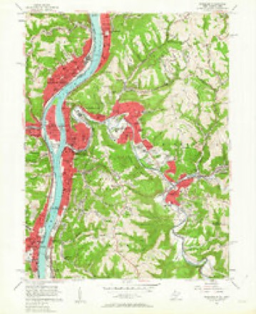
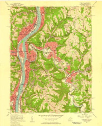
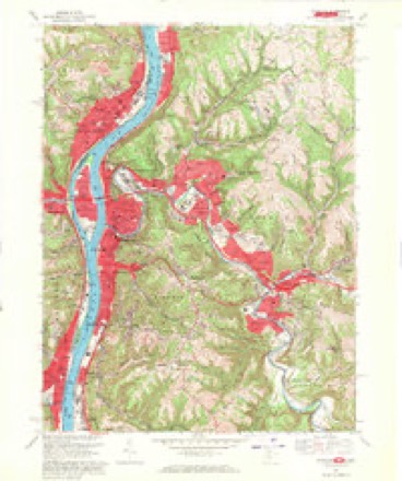
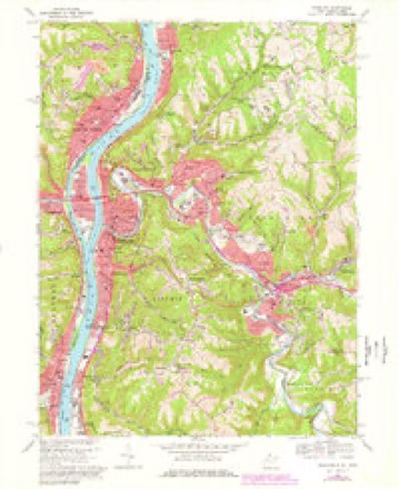
27 topographic sheets cover this place, the earliest surveyed in 1902 and the latest in 1994. It stands in Pultney Township. It lies in ZIP code area 43906. It stands on Indian Run. The Survey maps it on the Wheeling quadrangle. 3,870 people lived here at the 2020 count. It stands 666 feet above sea level.
Research this city
This curated hub for Belmont County, Ohio brings together the page's documented record links, visible map or image evidence where published, and routes to related local records.
What is documented here?
Use the page's provenance and linked records to distinguish the source material from the site's navigation and summaries.
How should I cite it?
Open the original record, preserve its repository and identifier, then use the citation tool for this page as a path back to the source.
Where should I go next?
Follow the county or state hub for related places and records, then use the guide for a source-aware research sequence.
Population over time
2 figuresBellaire fell from 4,278 to 3,870 between 2010 and 2020. These are the recorded population figures Wikidata holds for this place, reached through the Geographic Names Information System number this page is keyed on rather than by name, so they belong to this place and not to another of the same name. Most are census counts, but not all are: an early figure may be a founding or settlement estimate. The change column is computed, and is left blank where more than 20 years separate a figure from the one before it, because a gap that long is not a change between two counts.
| Year | People | Change |
|---|---|---|
| 2010 | 4,278 | |
| 2020 | 3,870 | -408 (-10%) |
Then and now
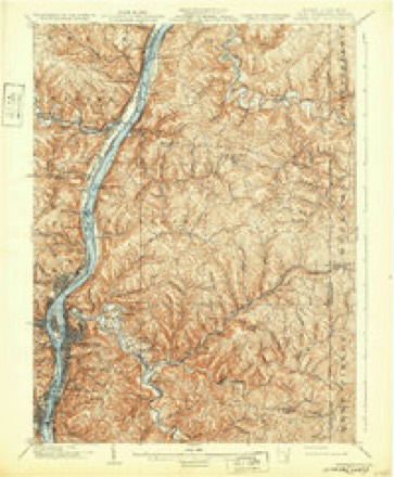
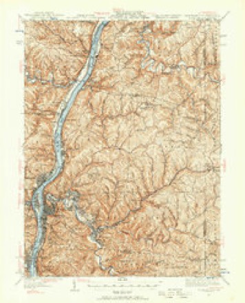
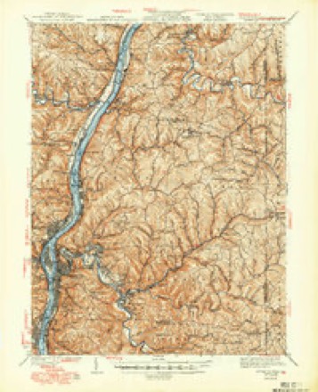
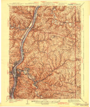
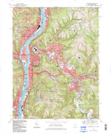
1902 to 1994The same ground, surveyed 92 years apart. Drag the handle to wipe between them. Both sheets are United States Geological Survey originals; neither has been altered.
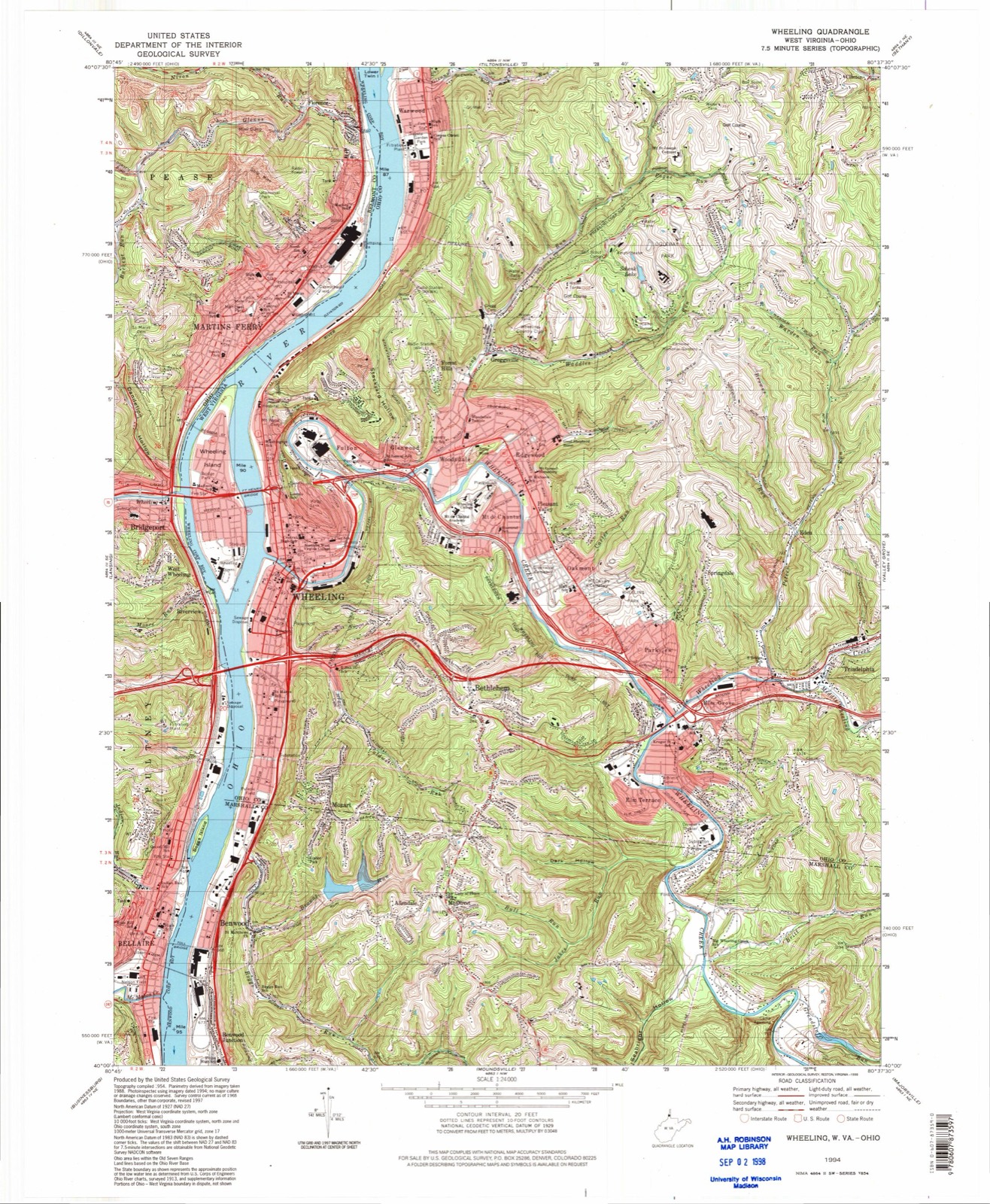
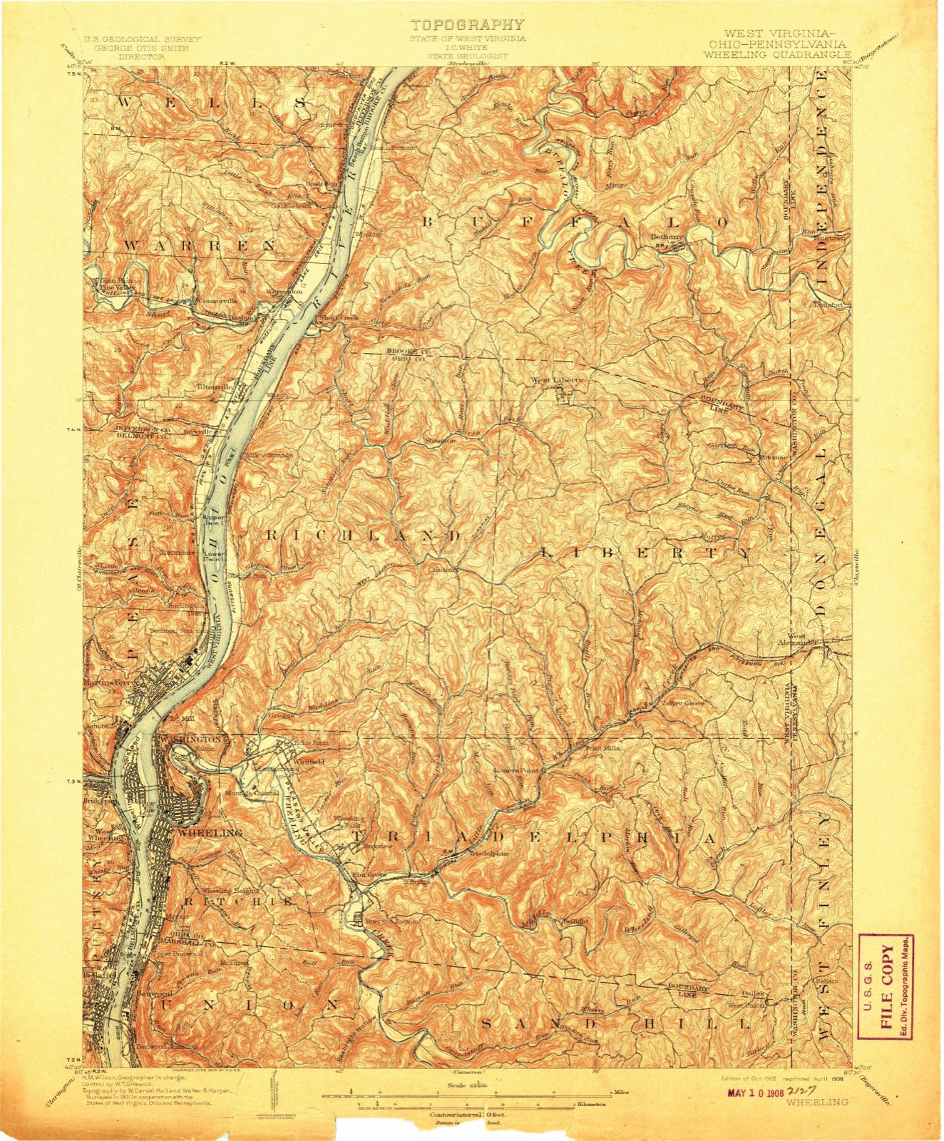
Compare 1902 against another survey:
Topographic sheets covering this place
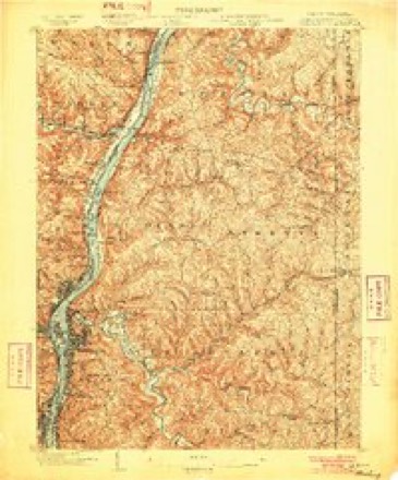
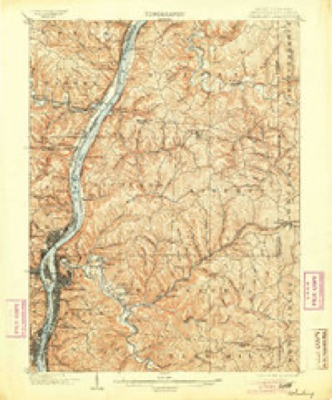
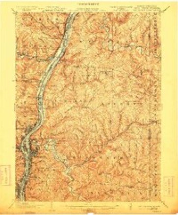
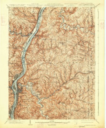
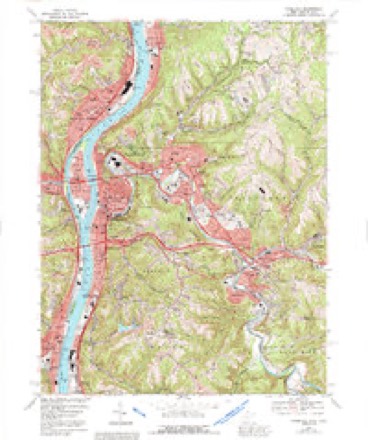
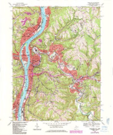
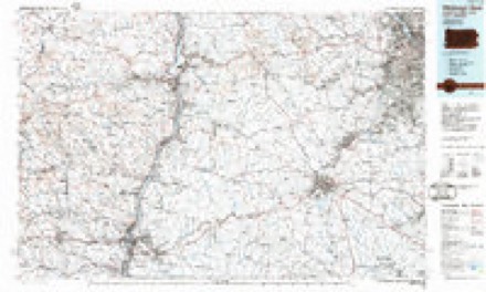
27 sheetsMatched by testing this settlement's coordinate against the published boundary of every sheet in the United States Geological Survey's historical collection. Each opens the scanned sheet at the Survey.
- 1902 USGS Wheeling quadrangle1:62500
- 1902 USGS Wheeling quadrangle1:62500
- 1902 USGS Wheeling quadrangle1:62500
- 1902 USGS Wheeling quadrangle1:62500
- 1902 USGS Wheeling quadrangle1:62500
- 1902 USGS Wheeling quadrangle1:62500
- 1902 USGS Wheeling quadrangle1:62500
- 1935 USGS Wheeling quadrangle1:62500
- 1942 USGS Wheeling quadrangle1:62500
- 1942 USGS Wheeling quadrangle1:62500
- 1951 USGS Canton quadrangle1:250000
- 1953 USGS Canton quadrangle1:250000
- 1956 USGS Wheeling quadrangle1:24000
- 1956 USGS Wheeling quadrangle1:24000
- 1957 USGS Canton quadrangle1:250000
- 1957 USGS Canton quadrangle1:250000
- 1957 USGS Canton quadrangle1:250000
- 1962 USGS Canton quadrangle1:250000
- 1962 USGS Canton quadrangle1:250000
- 1968 USGS Wheeling quadrangle1:24000
- 1968 USGS Wheeling quadrangle1:24000
- 1968 USGS Wheeling quadrangle1:24000
- 1968 USGS Wheeling quadrangle1:24000
- 1986 USGS Pittsburgh West quadrangle1:100000
- 1986 USGS Pittsburgh West quadrangle1:100000
- 1986 USGS Pittsburgh West quadrangle1:100000
- 1994 USGS Wheeling quadrangle1:24000







In the county-history sources
36,037 words on this townshipCentennial History of Belmont County, Ohio, and Representative Citizens., published 1903 names this settlement in its chapter on Pultney Township. These are the passages that mention it, exactly as the scans read.
In 1845 the second church building was erected, and here the church saw its maximum growth. But its growth was seriously checked l)y the rapid formation of other Presbyterian churches in its original held ; beginning with Martin's Ferry in 1841 and following rapidly were founded Wegee, Kirkwood, Bethel, Bellaire ist, Farmington, Coal Brook, Bellaire 2nd, and last, Pleasant Valley. Each have drawn on the territory or population of Rock Hill until only a small part of the lordly heritage of the fathers remains to the old church. Notwithstanding the forming of these new churches and the constant stream of emigrants going forth, the old church yet retains 117 communicants, slightly more than the average for the 60 years past.
Passage source: Centennial History of Belmont County, Ohio, and Representative Citizens., published 1903.
In 1890, finding that the church building was almost beyond repair, the congregation decided to tear it down and erect a new one near the old site. This was done and the new church was dedicated June 3, 1891. The building was cruciform in shape and cost $7,000 when complete, being the neatest country church in Eastern Ohio. It was solidly built and might have lasted a century had no mishap befallen it. But during a severe electrical storm on the evening of June 25, 1902, it was struck by lightning and burned. VVhen the pastor saw the fire, he started for the scene rousing the people on the way. Presbyterian, United Presbyterian, and the stranger within our gates made heroic efforts to put out the fire, but the means were not sufficient and the beautiful sanctuary was consumed. Within a few days the congregation decided without dissent to rebuild and we hope in the fullness of time to see a new church, the fourth temple to the Lord our God, rise upon the sacred hill.
Passage source: Centennial History of Belmont County, Ohio, and Representative Citizens., published 1903.
The following persons served the church as ruling elders: John Cunningham, John Moore, William Keyser, James Milligan, John Rankin, James Greenlee, Joshua Keyser, Robert Merritt, A. W. Anderson, J. S. Cratty, J. W. Milligan, Matthew Wallace, William Thomas, John Giffin, John S. Keyser, P. A. Wise, E. E. Tarbet. It has also given for the evangelization of the world the following sons as ministers of the Gospel : Revs. William Wallace, Richard Merrill, Thomas Merrill, James Merritt, Robert Alexander, James Alexander, George W. Mc- Millan, Robert A. Criswell, J. W. Allen, A. G. Lane, Edgar S. Robinson; together with these we may associate two others who began their life's work here, - Rev. James Alofifat, now president of Washington-Jefferson College, and Bishop James Thoburn, Methodist Episcopal missionary to India, taught their first schools here.
Passage source: Centennial History of Belmont County, Ohio, and Representative Citizens., published 1903.
Machine-read from a century-old scan, so expect the errors a machine makes: misspelled names, dropped words, stray characters.
Read the whole chapter on Pultney Township - it names this place 93 more 93 times.
Photographs
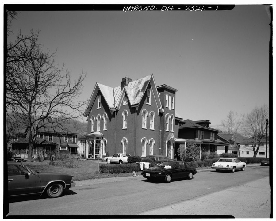
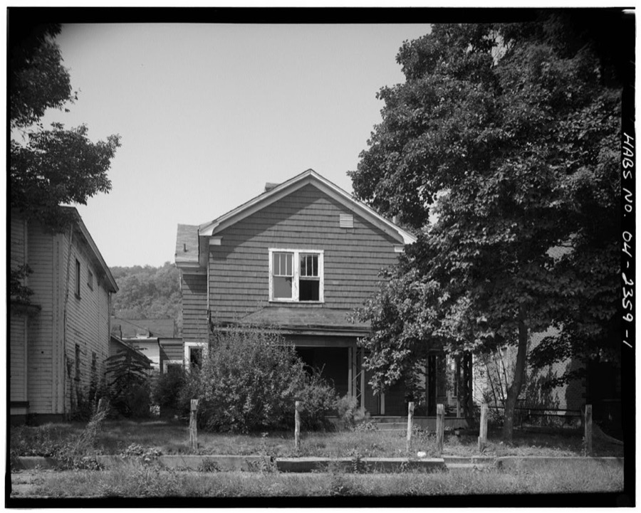
8 photographs,Taken for the Office of War Information and the Farm Security Administration, who photographed the country between 1935 and 1944. Works of United States government photographers, with no known restriction on use. Each opens its catalogue record.
Unattributed, . Library of Congress
Unattributed, . Library of Congress
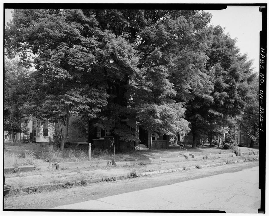
Unattributed, . Library of Congress
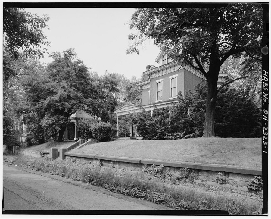
Unattributed, . Library of Congress
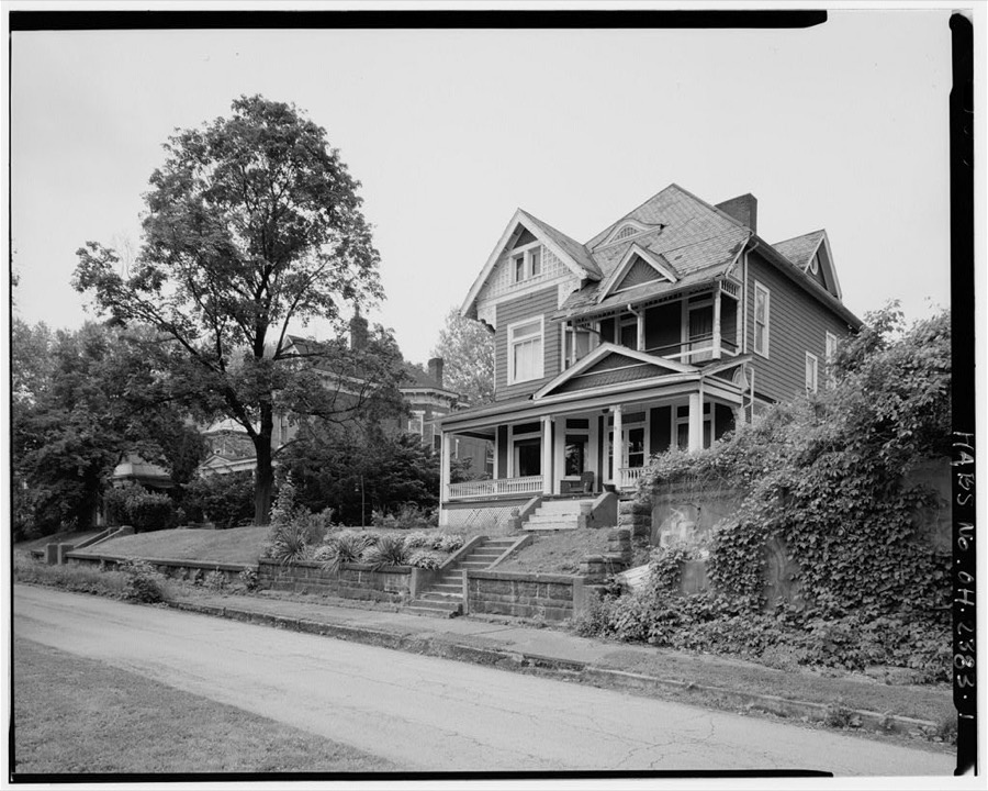
Unattributed, . Library of Congress
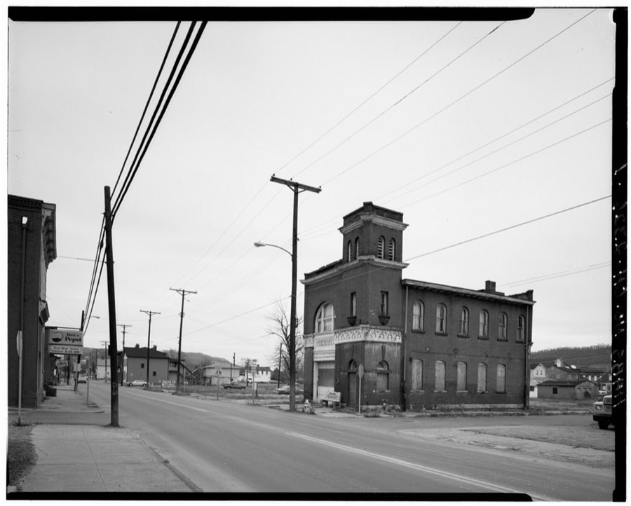
Unattributed, . Library of Congress
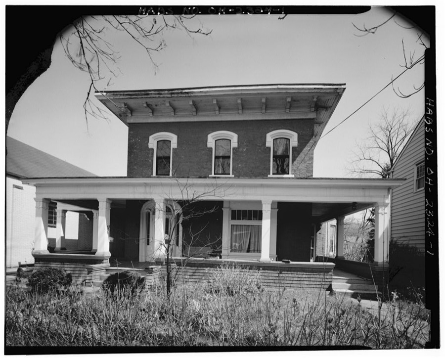
Unattributed, . Library of Congress
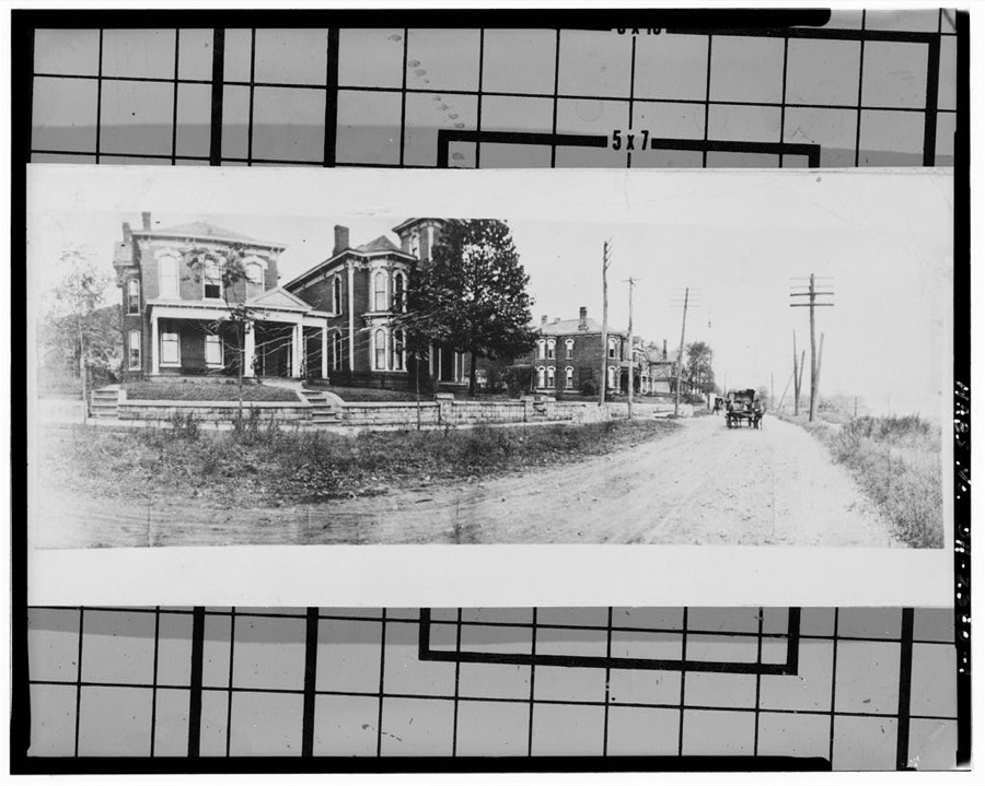
Unattributed, . Library of Congress
Fires near this place
22 since 1992Regional context, not property-specific evidence. The federal wildfire occurrence database lists 22 fires within 5 miles of Bellaire between 1992 and 2018, burning about 38 acres in total. None started naturally. 5 were recorded as arson. Distance is straight-line from the map coordinates, so a fire counted here may appear on a neighbouring settlement's page as well.
| Reported cause | Fires |
|---|---|
| Debris and open burning | 7 |
| Arson/incendiarism | 5 |
| Power generation/transmission/distribution | 3 |
| Equipment and vehicle use | 2 |
| Misuse of fire by a minor | 2 |
| Recreation and ceremony | 1 |
| Missing data/not specified/undetermined | 1 |
| Railroad operations and maintenance | 1 |
The most recent of them, most recent first, with the day each was reported and the service that recorded it.
| Date | Cause | Size | Reported by | Name on the report |
|---|---|---|---|---|
| 13 August 2015 | Debris and open burning | under an acre | West Virginia Division of Forestry | BENWOOD - FALLOVA DRIVE |
| 6 May 1993 | Arson/incendiarism | under an acre | West Virginia Division of Forestry | PINE HILL ROAD |
| 4 May 2018 | Power generation/transmission/distribution | under an acre | Ohio Department of Natural Resources | 13386 |
| 2 May 2001 | Power generation/transmission/distribution | 3.0 acres | West Virginia Division of Forestry | FISHERS LN. |
| 3 April 1995 | Arson/incendiarism | 3.0 acres | West Virginia Division of Forestry | WV RT. 2 |
| 20 April 2016 | Power generation/transmission/distribution | 3.0 acres | West Virginia Division of Forestry | TURKEY VULTURE FIRE |
| 18 April 1997 | Arson/incendiarism | under an acre | West Virginia Division of Forestry | WV RT. 2 |
| 13 April 2018 | Missing data/not specified/undetermined | 2.0 acres | Ohio Department of Natural Resources | 12085 |
Settlements close enough to share some of these fires:
Specimens collected near this place
12 of 1,302 shownRegional context, not property-specific evidence. Museums hold 1,302 specimens collected within 10 miles of Bellaire between 1800 and 1975: 1,079 Plantae, 129 Fungi, 92 Animalia, 2 Unrecorded. 12 distinct Species records are shown. Collected by A. D. Selby, A. D. Selby & E. L. Moseley, A. D. Selby & J. F. Hicks and others. Each is a physical object with a catalogue number, and each entry opens the museum's record. This is what was collected and kept, not a survey of what lives here - nothing can be concluded from a species being absent.
| Image | Species | Year | Collected by | Where, as recorded |
|---|---|---|---|---|
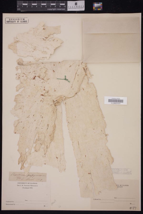 | Racodium E.M.Fries, 1829 | 1829 | J.R. Paddock | |
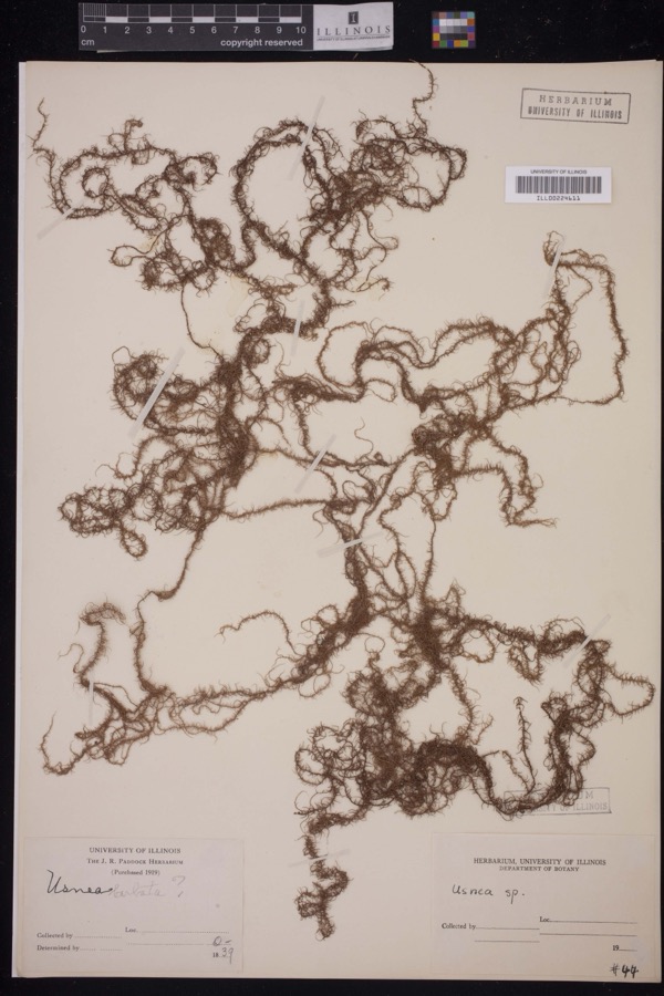 | Usnea Dill. ex Adans., 1763 | 1839 | J.R. Paddock | |
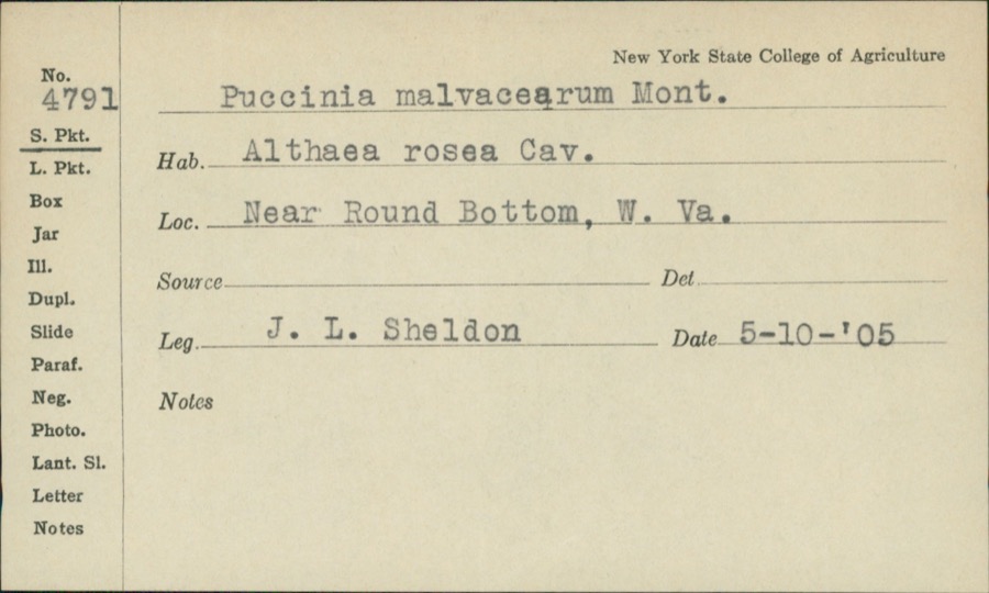 | Puccinia malvacearum Bertero ex Mont. | 1905 | J.L. Sheldon | Near Round Bottom |
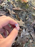 | Houstonia caerulea L. | 1800 | Guttenberg, G. | near Wheeling |
 | Robinia L. | 1829 | Guttenberg, G. | Wheeling |
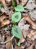 | Persicaria virginiana (L.) Gaertn. | 1835 | E. Wilkinson | Ohio |
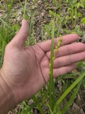 | Carex sparganioides Muhl. ex Willd. | 1837 | B. Frank | Ohio |
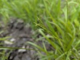 | Carex × sullivantii Boott | 1842 | W. S. Sullivant | Ohio |
 | Homalothecium subcapillatum (Hedw.) Sull. | 1843 | D. Sullivan | |
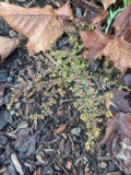 | Euphorbia maculata L. | 1844 | S. B. Mead | Ohio |
 | Jungermannia sullivantii Austin | 1844 | W. S. Sullivant | |
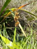 | Carex gracilescens Steud. | 1847 | G. B. Ashcroft | Ohio |
All 1,302 specimens within 10 miles, at the Global Biodiversity Information Facility.
Mines and quarries near this place
2 within 5 milesRegional context, not property-specific evidence. The federal mineral resources record lists 2 workings within 5 miles of Bellaire: 2 past producers. None of them still produces. What was taken out: Sand and Gravel, Construction, Limestone, General. Distance is straight-line from the map coordinates, so a quarry counted here may appear on a neighbouring settlement's page as well.
| Where | Site | Commodity | Status | Recorded |
|---|---|---|---|---|
| Benwood Plant | Limestone, General | Past Producer | Sedimentary | |
| John D Tonkovich and Son Pit | Sand and Gravel, Construction | Past Producer |
Storms near this place
10 since 1995Regional context, not property-specific evidence. The National Weather Service names Bellaire in 10 storm reports between 1995 and 2026: 5 thunderstorm wind, 2 flash flood, 2 hail, 1 flood. No death or injury is recorded in these reports. Each account below is quoted exactly as the forecast office filed it, from the NOAA Storm Events Database, and each date opens the federal record of that event.
| When | Event | Place named | Harm | What the report says |
|---|---|---|---|---|
| June 1998 | Thunderstorm Wind | Bellaire | $5,000 | Thunderstorm winds blew down several trees. |
| April 1996 | Thunderstorm Wind | Bellaire | $3,000 | no account filed |
| May 1998 | Thunderstorm Wind | Bellaire | $2,000 | Thunderstorm winds downed trees. |
| February 2007 | Flood | Bellaire | - | Small streams were flooding do to ice jams between Bellaire and Neffs with Trough Run out of its banks flooding roads just off SR 149. Other flooding was reported west of Powhatan Point on Cats Run was flooding county road 56 and Cats Run Road near SR 148. |
| May 2004 | Thunderstorm Wind | Bellaire | - | Large trees down. |
| May 1997 | Flash Flood | Bellaire | - | McMahon Creek went out of its banks. A car was swept into the creek. No injuries were reported. |
| June 1995 | Thunderstorm Wind | Bellaire | - | A few trees were downed by thunderstorm winds in Bellaire. South of Shadyside Pipe Creek went out of its banks, one car was swept away and some basements were flooded. |
| March 2026 | Hail | Bellaire | - | no account filed |
| April 1998 | Hail | Bellaire | - | no account filed |
| July 1996 | Flash Flood | Bellaire | - | no account filed |
Nearest settlements
The eight closest, with where each one stands in the county. Distances are straight-line, computed from the Geographic Names Information System coordinates.
| Map | Place | Distance | Sheets |
|---|---|---|---|
| Avondale | 2.5 miles | 19 | |
| McClainville | 2.7 miles | 18 | |
| Riverview | 2.9 miles | 27 | |
| West Wheeling | 3.1 miles | 27 | |
| Shadyside | 3.2 miles | 15 | |
| Saint Joe | 3.3 miles | 18 | |
| Boydsville | 3.6 miles | 18 | |
| Bridgeport | 3.7 miles | 27 |
Elsewhere
Matched on this settlement's Geographic Names Information System number rather than its name, so it cannot be a different place of the same name in another state.
| Wikipedia article on Bellaire | An encyclopaedic summary. Its text is share-alike, so it is linked here rather than copied. |
| Wikidata item Q1985364 | The structured record the population and elevation above come from. Public domain (CC0). |
Provenance
This settlement is recorded in the Geographic Names Information System as feature 1060860. The sheet list is computed by point-in-boundary test against the United States Geological Survey's historical topographic inventory. Both are works of the United States government and carry no copyright under 17 U.S.C. 105.
Wildfire. Short, Karen C. 2022. Spatial wildfire occurrence data for the United States, 1992-2020 [FPA_FOD_20221014]. 6th Edition. Fort Collins, CO: Forest Service Research Data Archive. https://doi.org/10.2737/RDS-2013-0009.6 Collected with United States Government funding and usable without additional permissions or fees.
Specimens. Global Biodiversity Information Facility (GBIF), https://www.gbif.org/. Only records licensed CC0 or CC BY are used. Records licensed CC BY-NC are excluded because this site carries advertising. Images are checked individually and any whose licence is non-commercial, no-derivatives or unreadable is refused.
Mines and quarries. USGS Mineral Resources Data System (MRDS) https://mrdata.usgs.gov/mrds/ A work of the United States government, no copyright under 17 U.S.C. 105.
Storms. NOAA National Centers for Environmental Information, Storm Events Database https://www.ncei.noaa.gov/stormevents/ A work of the United States government, no copyright under 17 U.S.C. 105. Narratives are quoted verbatim from the National Weather Service report and are not edited or summarised.