127 topographic sheets and 45 fire insurance
atlases across 7 places.
Research this county
This curated hub for Belmont County, Ohio brings together the page's documented record links, visible map or image evidence where published, and routes to related local records.
Use the page's provenance and linked records to distinguish the source material from the site's navigation and summaries.
How should I cite it?
Open the original record, preserve its repository and identifier, then use the citation tool for this page as a path back to the source.
Where should I go next?
Follow the county or state hub for related places and records, then use the guide for a source-aware research sequence.
From the record
“One of the most exciting incidents in the history of Kirkwood township was the murder of Louisa Fox, in 1869, by a notorious character named Thomas D. Carr, a coal miner in the employ of Alexander Hunter. Carr was a man of bad repute, who had become infatuated with the beauty of the girl - for she was but 14 years of age - and because she refused to marry him, he inhumanely took the innocent's life.”
The Only Execution In A Century - Centennial History of Belmont County, Ohio, and Representative Citizens. (1903). Machine-read text.
15 National Register listings · 90 businesses named in the fire insurance atlases from 1884 to 1946 · the 1903 county history tells 10 stories and names 87 people · people the book names include David K. Allen (Wayne Township, 1903) · Hon. John Davenport (Warren Township, 1903) (machine-read).
Ohio within the United StatesBelmont County within Ohio
Explore by year
What the record shows
7 places in this county were surveyed for fire insurance: Barnesville, Bellaire, Bridgeport, Martins Ferry, Saint Clairsville, Barton, Powhatan Point, between 1884 and 1959.
45 fire insurance atlas(es) survive for the county. Topographic coverage is national; fire insurance survey reached only incorporated places with something worth insuring.
1,804 topographic sheet readings cover the county's settlements.
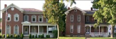
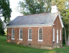
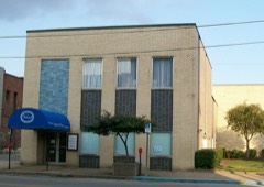
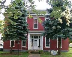
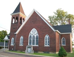
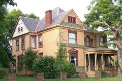
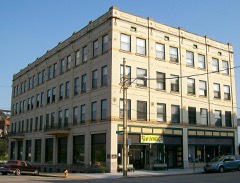
15 properties here are on the National Register of Historic Places, including 8 houses and farms.
2 of the 15 listings were added during the 1970s.
The Geographic Names Information System records 112 populated places in this county; 0 are covered by at least one topographic sheet.
2 public-domain county histories, 1903 and 1903, supply 658,157 words of narrative reproduced here in full.
What happened here
10 accounts
A captivity, a drowning, a famine, a man
scalped clearing his lot in 1789. These are passages from Centennial History of Belmont County, Ohio, and Representative Citizens., written
while people who remembered the events were still alive, and each one
opens the section it comes from.
1903, Kirkwood Township
The Only Execution In A Century
One of the most exciting incidents in the history of Kirkwood township was the murder of Louisa Fox, in 1869, by a notorious character named Thomas L3. Carr, a coal miner in the employ of Alexander Hunter. Carr was a man of had repute, who had become infatuated with the beauty of the girl - for she was but 14 years of age - and because she refused to marry him, he inhumanely took the innocent's life.
Another Indian Massacre. ' And Representative Citizens
"One morning they noticed a young Indian dodging along not far from the fort among the trees. He had been sent by a body of Indians who had ambushed about three miles below, on the banks of the Ohio River, to decoy the soldiers from the fort. As soon as he was discovered, Lieutenant McArthur and his men started out to catch him.
ORO EN A P M de e nr. ae uer peste RE Na TEE A a cin lh cr nf ll ors The First Election - The Battle of Captina - The First Squatters - An Indian Village - Another Indian Massacre - The Early Mills and Distilleries - Township Officials and Population - Powhatan - Town Officials - The Flour Mills - The Sehools - The Churches - Free Masons - The Ferries.
CHAPTER XXVIII. POMS LONN HI PIE LE UIS A A A esed rese eru Ee eR ETNBRI TS e ETE Pee s Ve The First Families - The Industries - The First Mills - Township Officials and Population - Somerton - Some Old Citxzens - The Schools - The Belmont Bank - The Churches - Secret Societies - Taylor Post, G. A. R. - Boston and Temperanceville - The Churches - The Oil Field - The Warrick Murder.
ginians had captured every British fort in | the Northwest Territory, and floated the stars and stripes over their battlements. When the Northwest Territory was thus thrown open to immigration, hundreds poured across the Ohio to occupy the land. Permit me to digress for a moment to speak of the sad fate of this gallant young Virginia soldier, who achieved so much for the people of the Northwest Territory.
on the west side of the Ohio would ultimately be disposed of in that way." Hence, almost the whole tract between the Ohio and Muskingum was parceled out in "tomahawk" improvements, but these latter improvers did not content themselves with a single 400-acre tract. Many of them laid claim to a greater number of tracts oí the very best land, and thus in imagination were as wealthy as a "south sea dream." Many of the land jobbers of this class did not content themselves with marking the trees at the usual height, but climbed up the large beech trees, and cut their initials in the bark from 20 to 40 feet from the ground.
About 1795 Lieut. Duncan McArthur and a posse of men, numbering in all a dozen, were stationed at the block-house on the lands of Robert Kirkwood. One morning they noticed a young Indian dodging along not far from the fort among the trees. He had been sent by a body of Indians, who had ambushed about three miles below, on the
Carroll speaks approvingly of the published . account written upon the battlefield which says: "In the Saturday night fights and the all day Sunday assaults upon our log breastworks, the Confederate general, Claiborne, lost 43 per cent. of his men. General Helms was killed and his brigade had worn itself away upon the breastworks until 73 per cent.
One of the most exciting incidents in the history of Kirkwood township was the murder of Louisa Fox, in 1869, by a notorious character named Thomas D. Carr, a coal miner in the employ of Alexander Hunter. Carr was a man of bad repute, who had become infatuated with the beauty of the girl - for she was but 14 years of age - and because she refused to marry him, he inhumanely took the innocent's life.
"One morning they noticed a young Indian dodging along not far from the fort among the trees. He had been sent by a body of Indians who had ambushed about three miles below, on the banks of the Ohio River, to decoy the soldiers from the fort. As soon as he was discovered, Lieutenant McArthur and his men started out to catch him.
Taken for the Office of War Information and
the Farm Security Administration, who photographed the country between
1935 and 1944. Works of United States government photographers, with no
known restriction on use. Each opens its catalogue record.
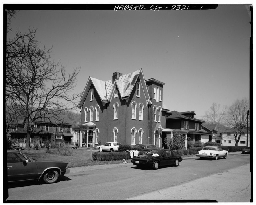
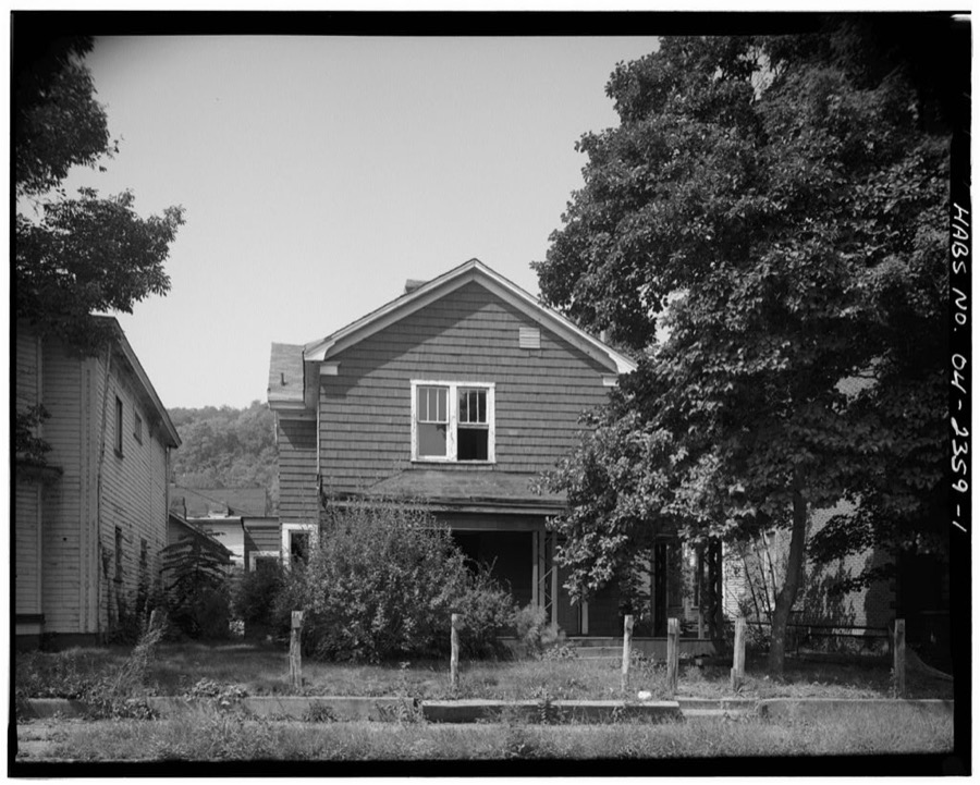
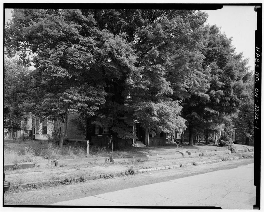
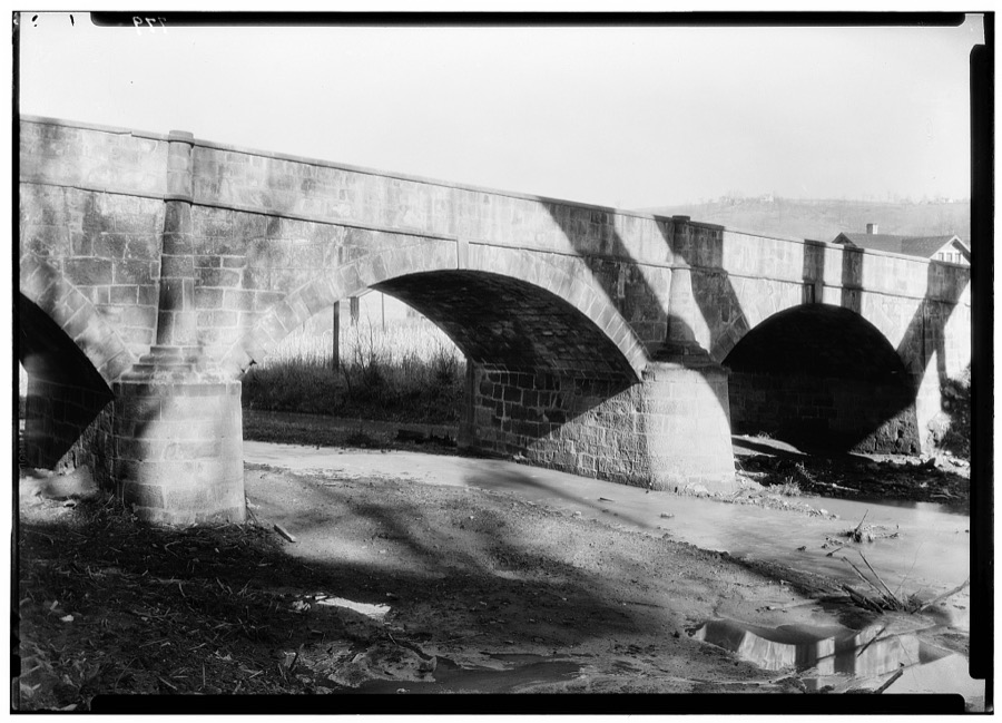
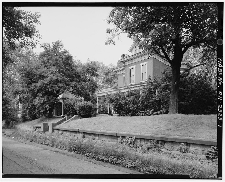
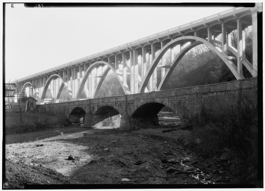
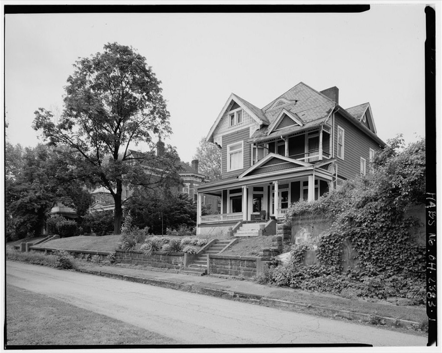
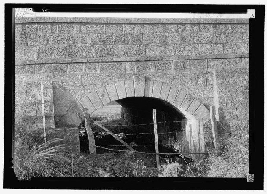
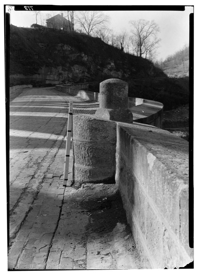
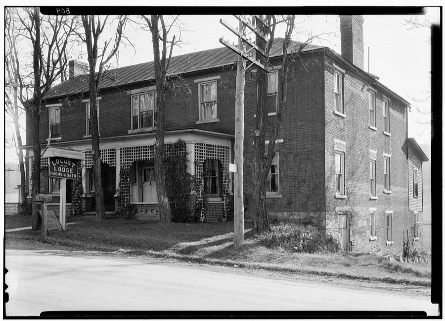
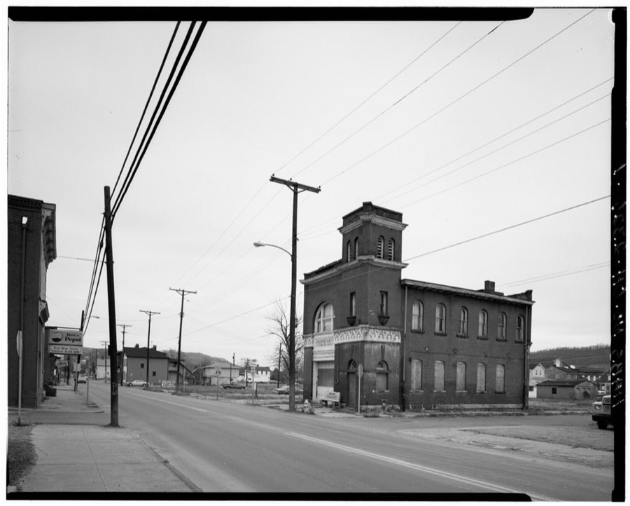
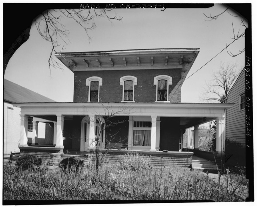
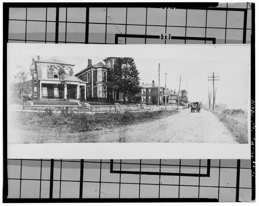
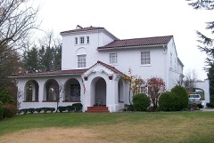
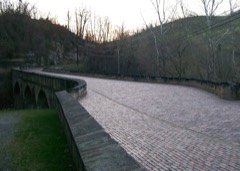
4363 Guernsey Street (House), Bellaire, Belmont County, OH Unattributed, . Library of Congress4715 Guernsey Street (House), 4715 Guernsey Street, Bellaire, Belmont County, OH Unattributed, . Library of CongressWillis Kelly House, 4735 Guernsey Street, Bellaire, Belmont County, OH Unattributed, . Library of CongressBridge on Old National Road, Blaine, Belmont County, OH Unattributed, . Library of Congress4815 Guernsey Street (House), Bellaire, Belmont County, OH Unattributed, . Library of CongressBridge & Milestone, Blaine, Belmont County, OH Unattributed, . Library of Congress4825 Guernsey Street (house), Bellaire, Belmont County, OH Unattributed, . Library of CongressArch Culvert, Saint Clairsville, Belmont County, OH Unattributed, . Library of CongressMilestone on Old "S" Bridge, Blaine, Belmont County, OH Unattributed, . Library of CongressTavern, Saint Clairsville, Belmont County, OH Unattributed, . Library of CongressIndependent Hose Company No. 3, Nineteenth & Belmont Streets, Bellaire, Belmont County, OH Unattributed, . Library of CongressAnderson House, 3678 Belmont Street, Bellaire, Belmont County, OH Unattributed, . Library of Congress4755 Guernsey Street (house), Forty-eighth & Guernsey Streets, Bellaire, Belmont County, OH Unattributed, . Library of Congress
Places on the National Register
15
Every property in this county listed on the
National Register of Historic Places, with the year it was listed and the
federal nomination document.
Belmont County holds 0 covered bridges on
the National Register, more than any other property type here. Each is a listed
structure with a federal nomination on file.
Bird's-eye views and land ownership maps
2
Drawn when these were printed as
single large sheets: the town seen from the air, and the county
divided into its farms with every owner named. Each opens the
original at the Library of Congress.
Bird's-eye view (1899) - Barnesville, Ohio 1899. Library of Congress.Bird's-eye view (1882) - Bird's eye view of Bellaire, Ohio 1882. Library of Congress.
Photographs from libraries nationwide
8 of 11 shown
Selected from the Digital Public Library
of America's 11 image records catalogued for this county. Every
one shown here carries a public-domain status or a licence that permits
reuse on a site that carries advertising; non-commercial, share-alike
and restricted images are excluded. The selection is spread across the
county's towns (at most eight per town), so no single institution's
bulk upload crowds out the rest. Each opens the holding library's
record, and
the complete set at the
Digital Public Library of America is one click away.
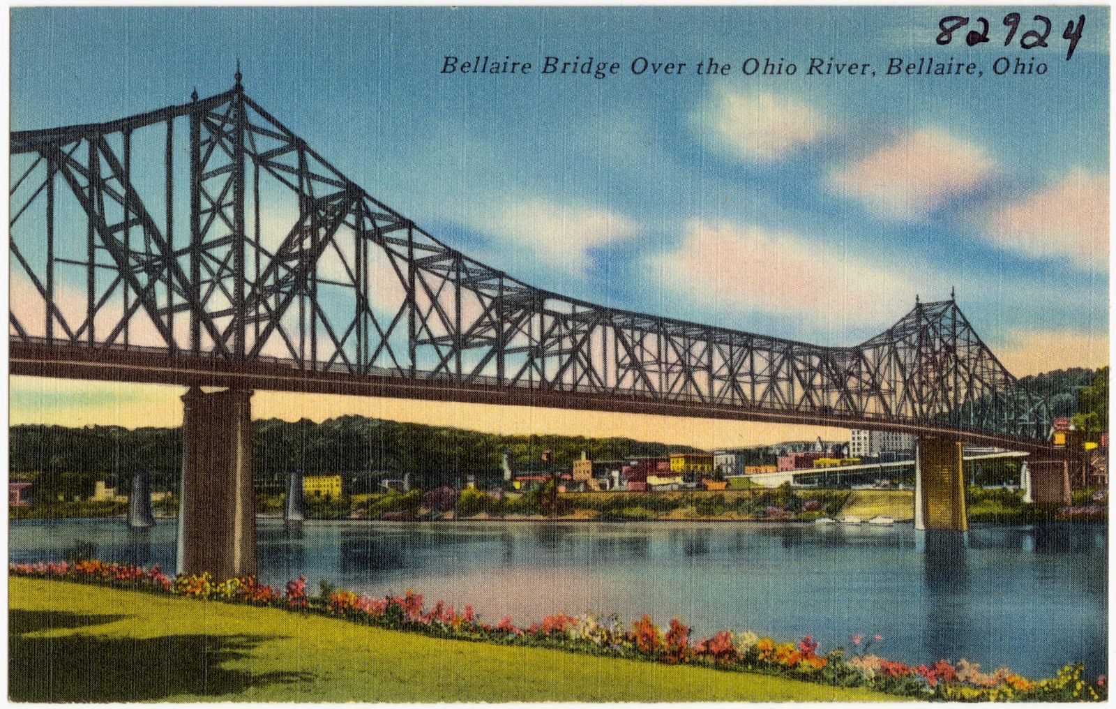
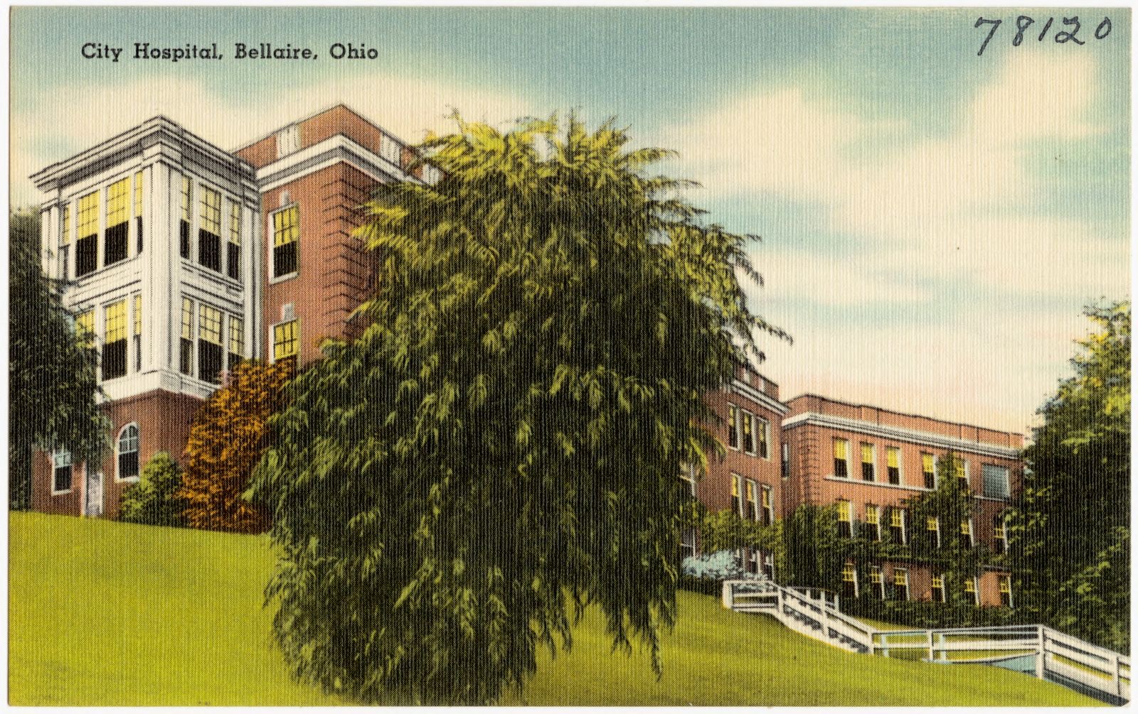
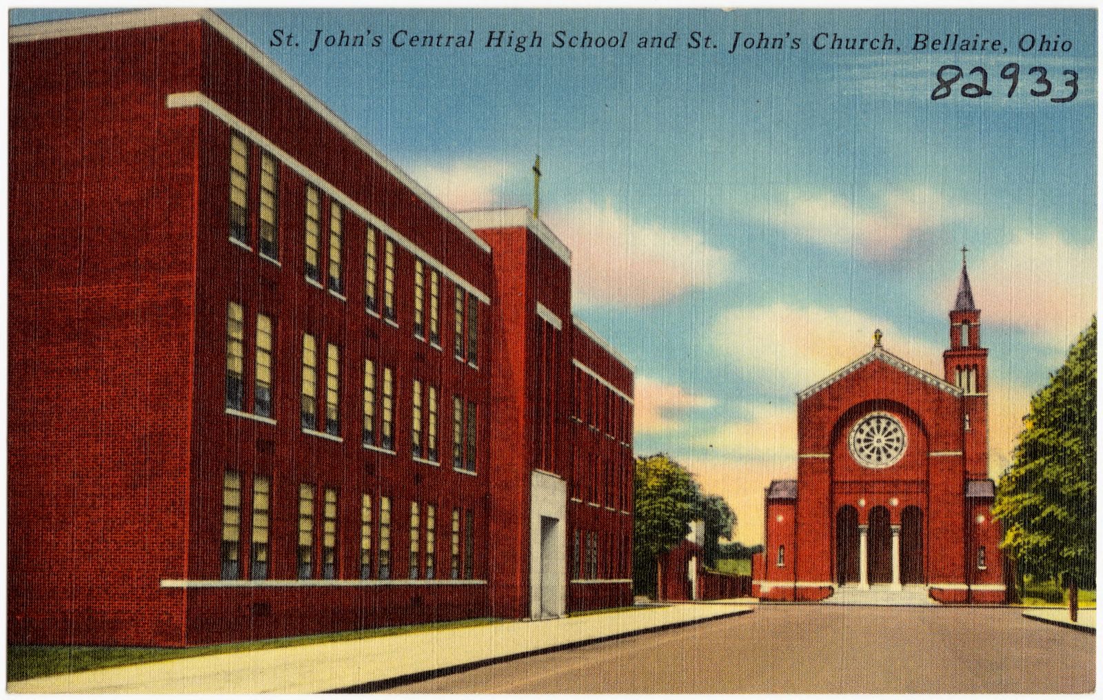
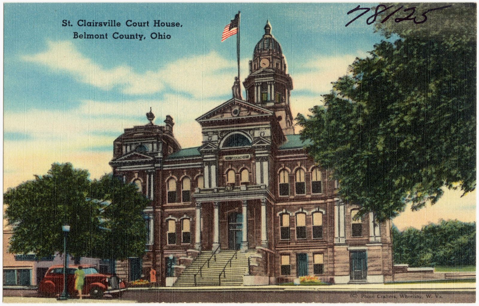
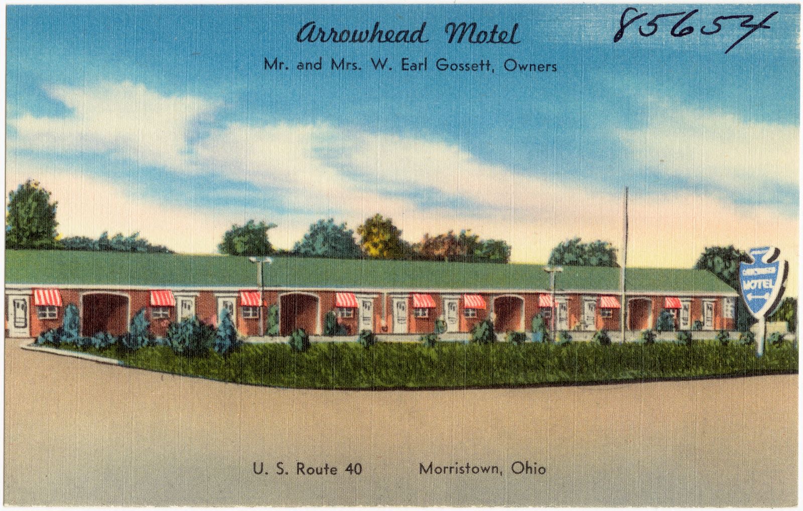
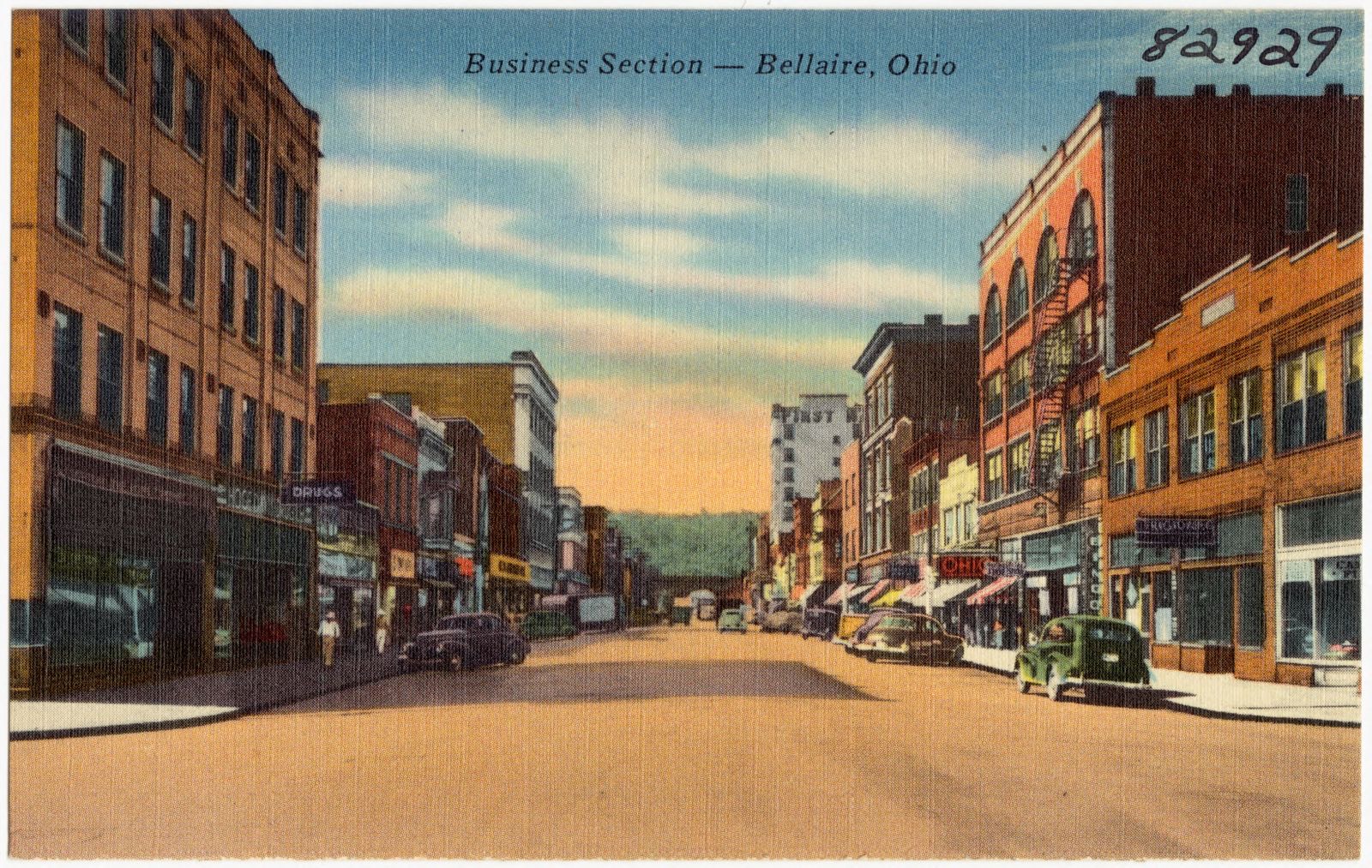
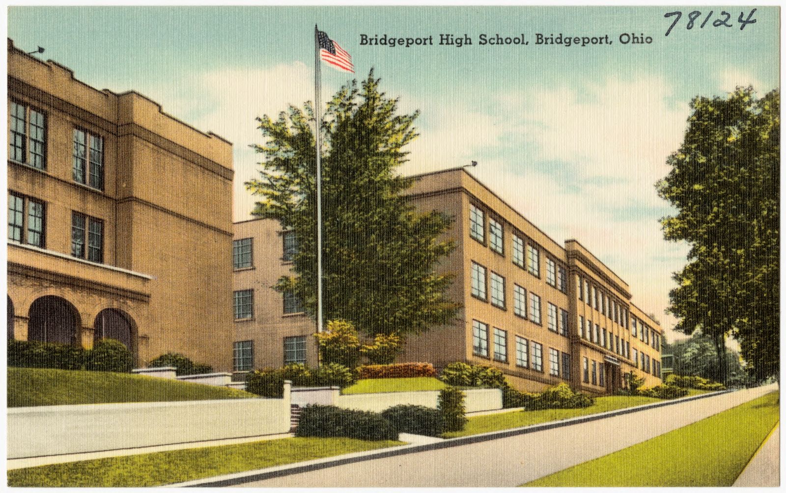
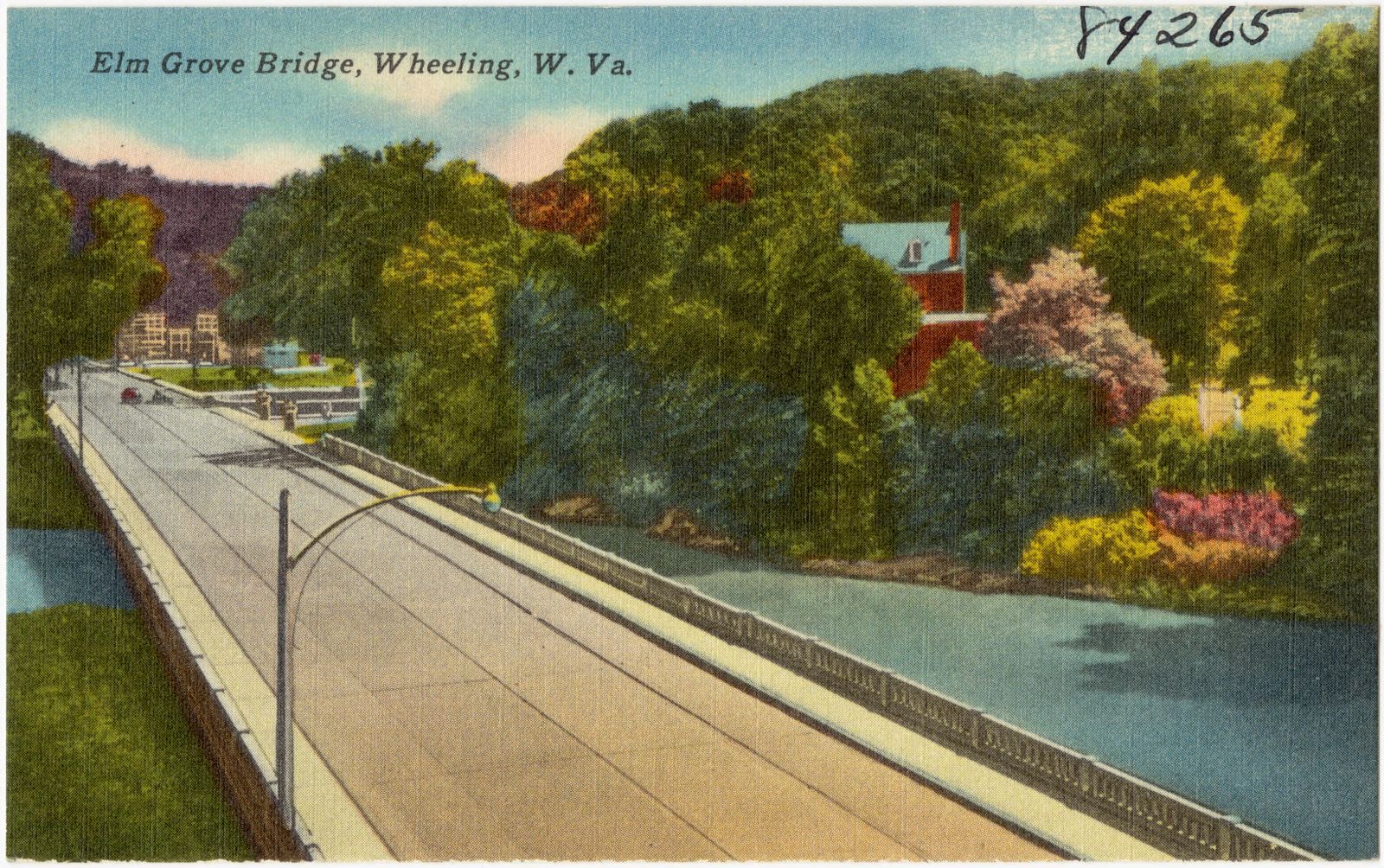
Bellaire Bridge over the Ohio River, Bellaire, Ohio. Boston Public Library, via the Digital Public Library of America.City Hospital, Bellaire, Ohio. Boston Public Library, via the Digital Public Library of America.St. John's Central High School and St. John's Church, Bellaire, Ohio. Boston Public Library, via the Digital Public Library of America.St. Clairsville Court House, Belmont County, Ohio. Boston Public Library, via the Digital Public Library of America.Arrowhead Motel, Mr. and Mrs. Earl Gossett, owners. U.S. Route 40, Morristown, Ohio. Boston Public Library, via the Digital Public Library of America.Business section -- Bellaire, Ohio. Boston Public Library, via the Digital Public Library of America.Bridgeport High School, Bridgeport, Ohio. Boston Public Library, via the Digital Public Library of America.Elm Grove Bridge, Wheeling, W. Va.. Boston Public Library, via the Digital Public Library of America.
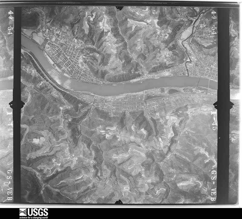
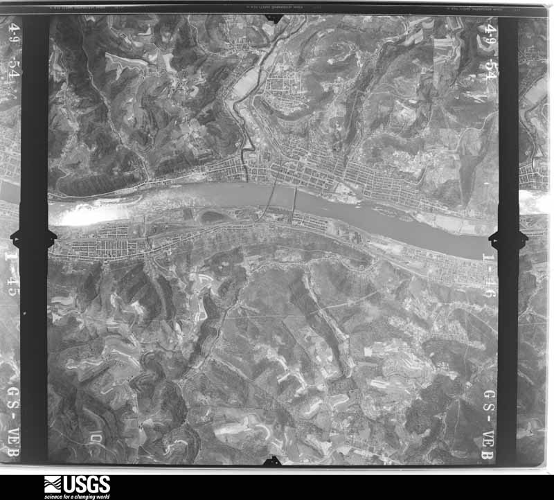
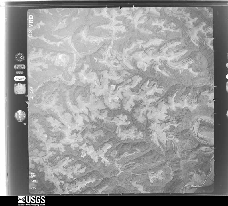
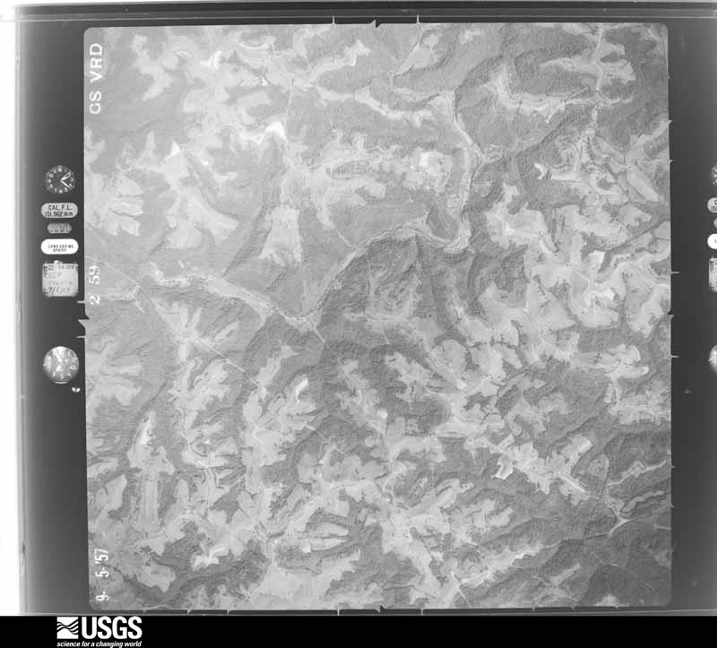
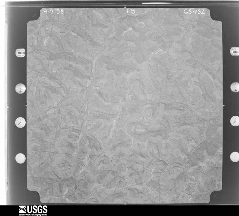
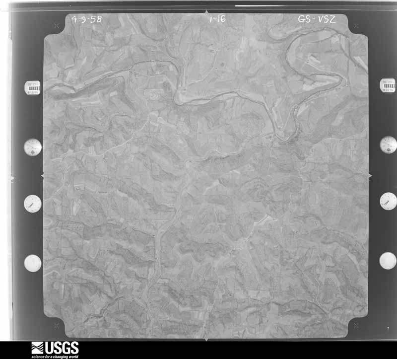
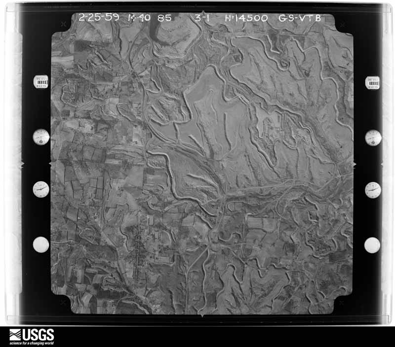
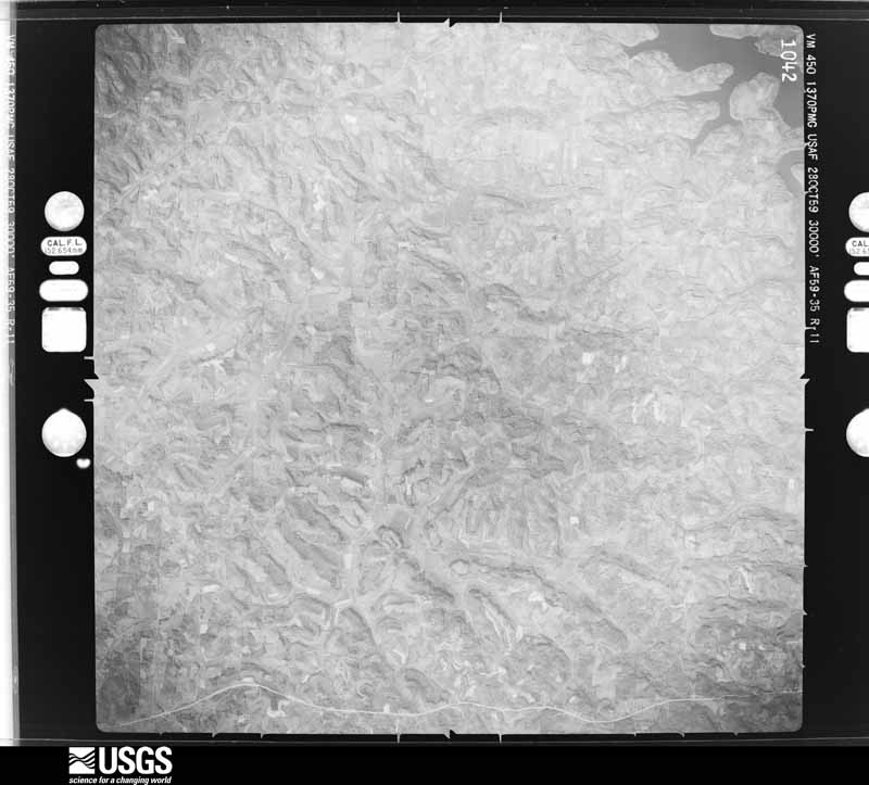
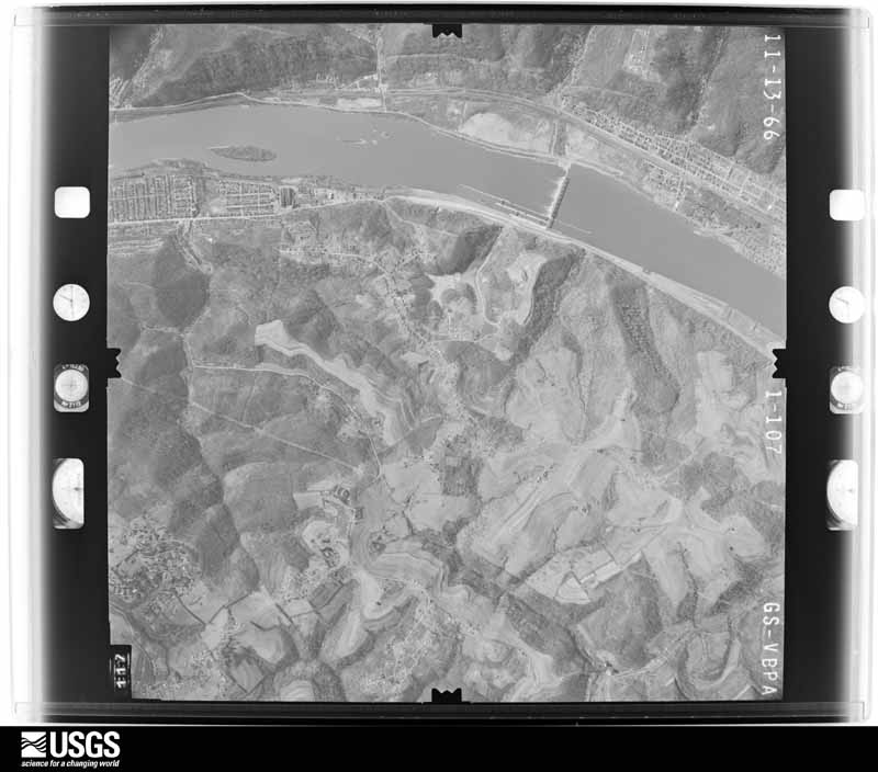
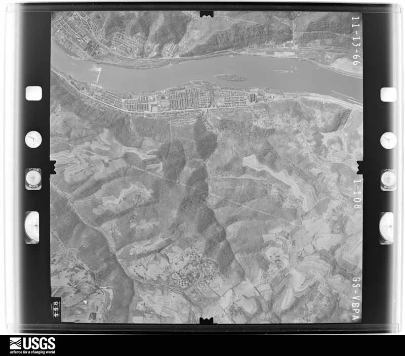
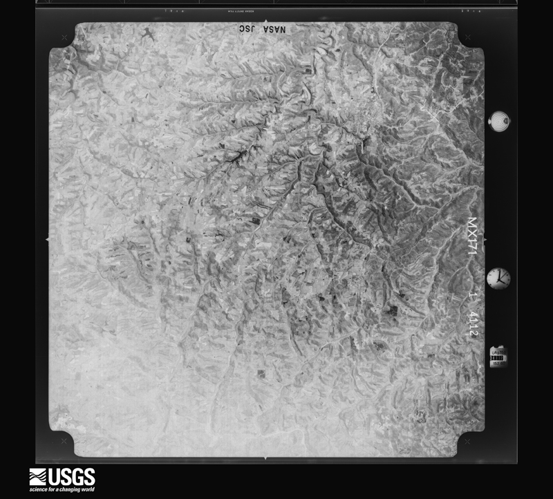
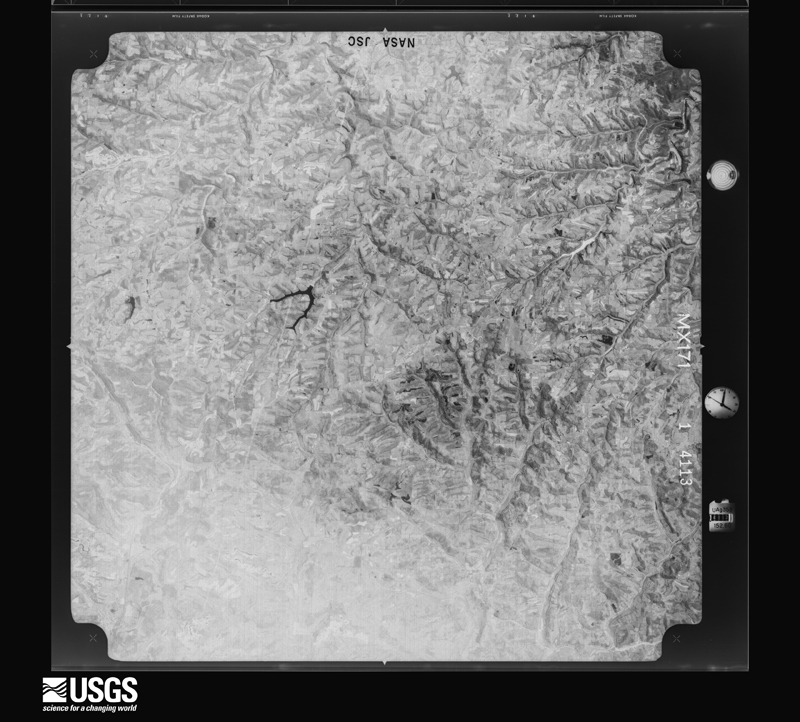
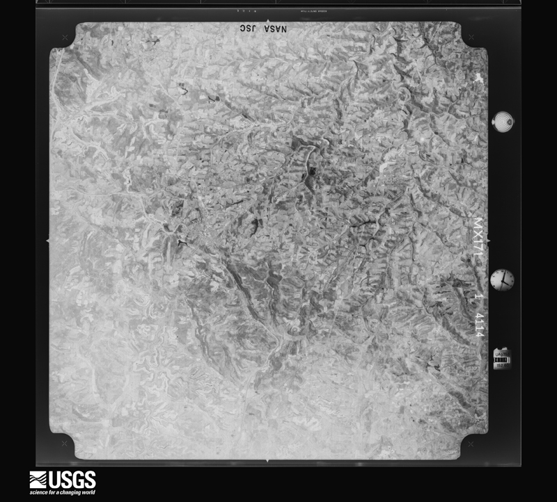
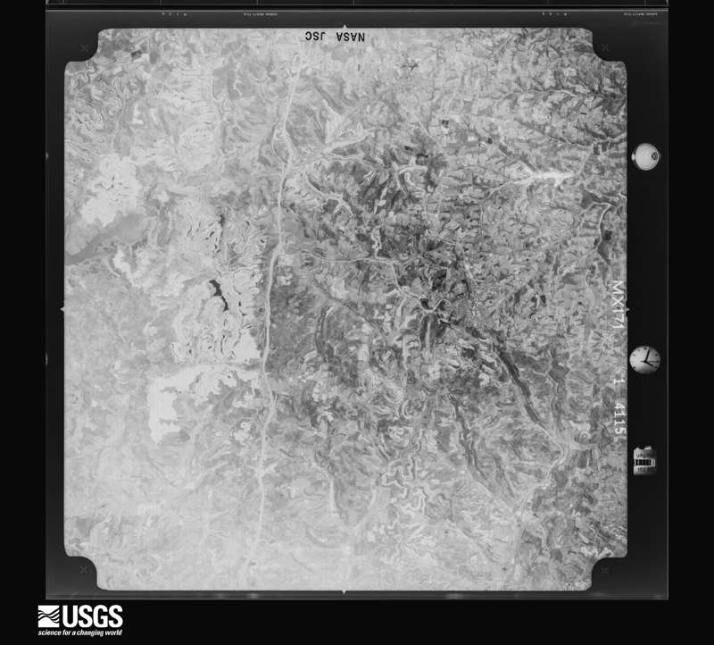
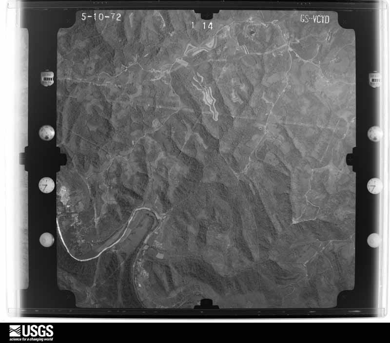
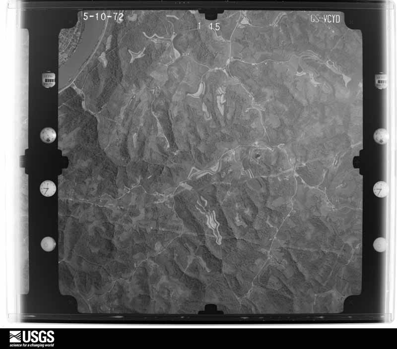
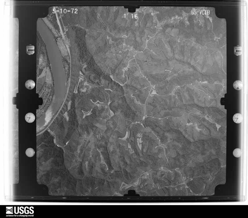
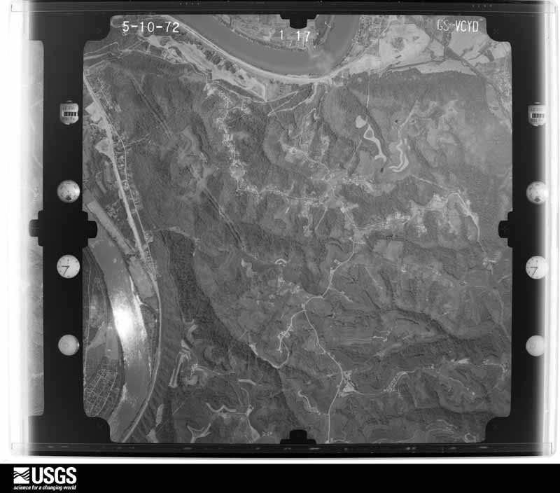
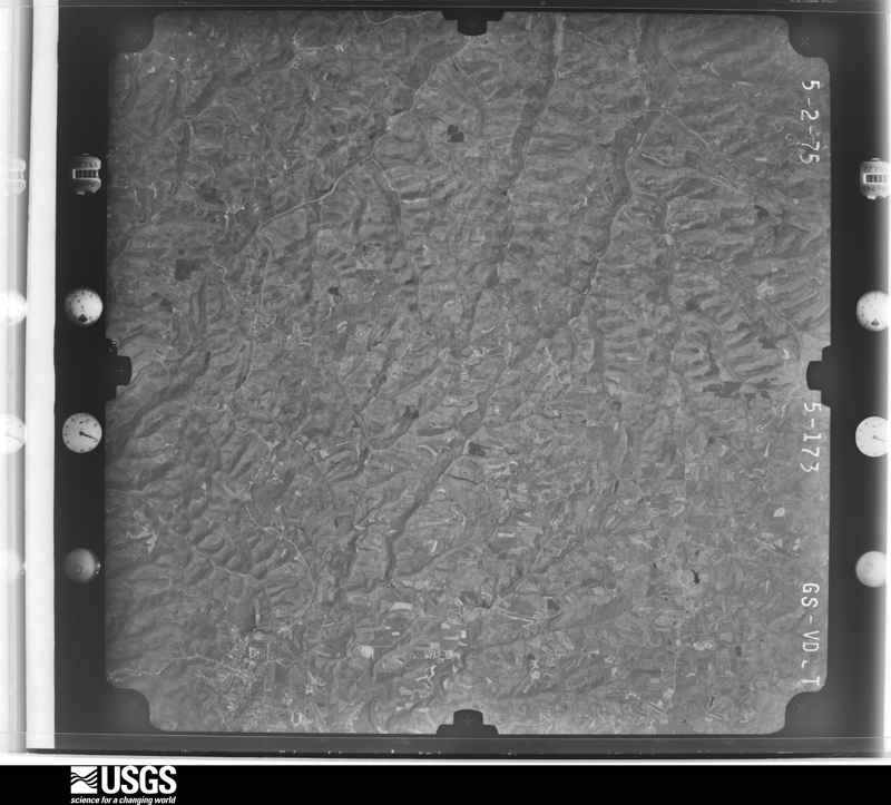
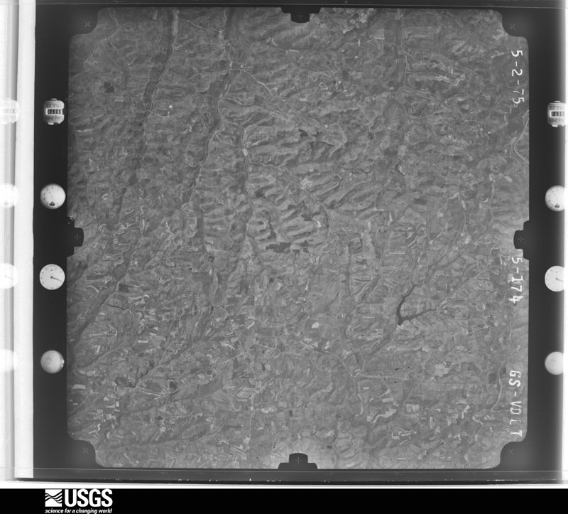
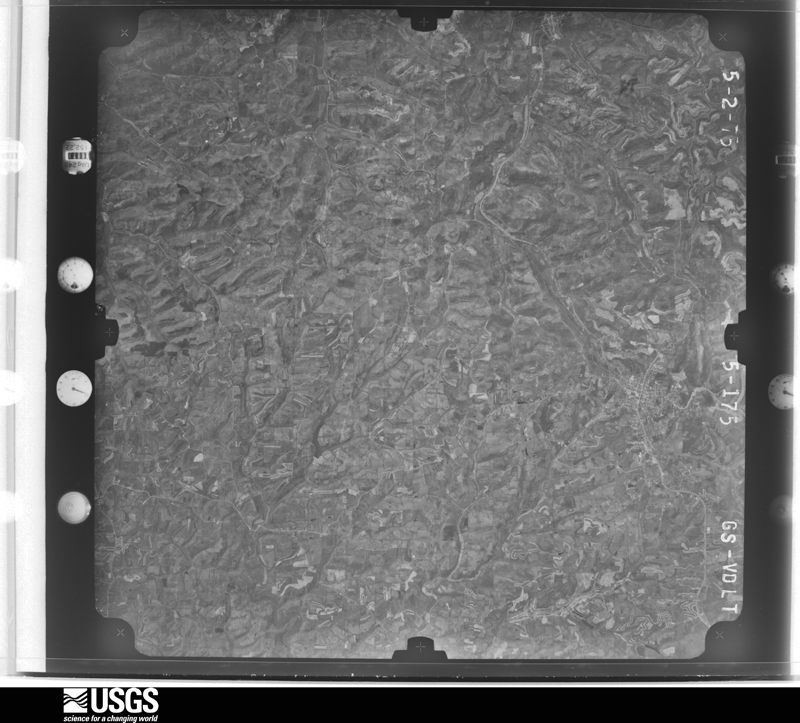
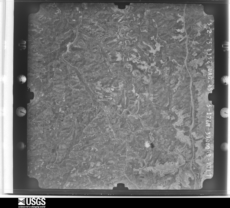
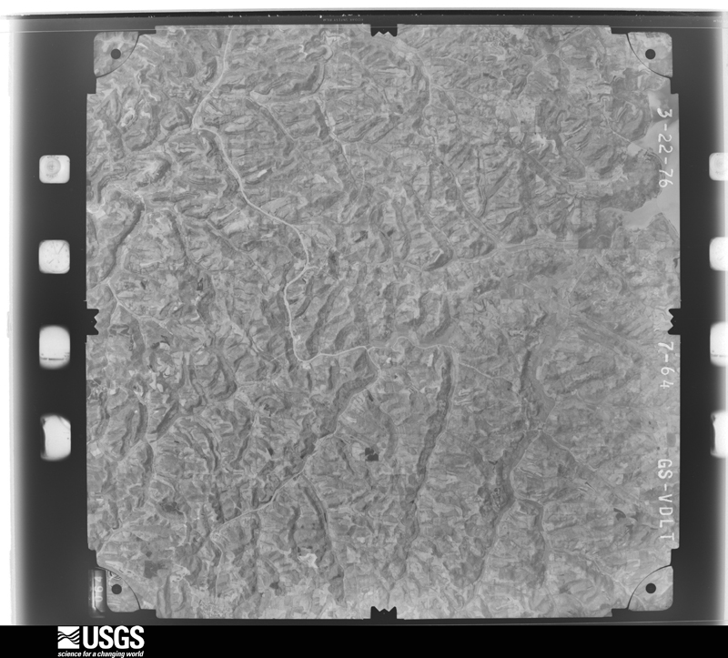
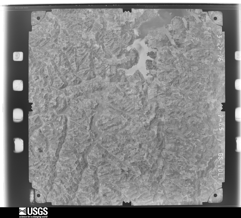
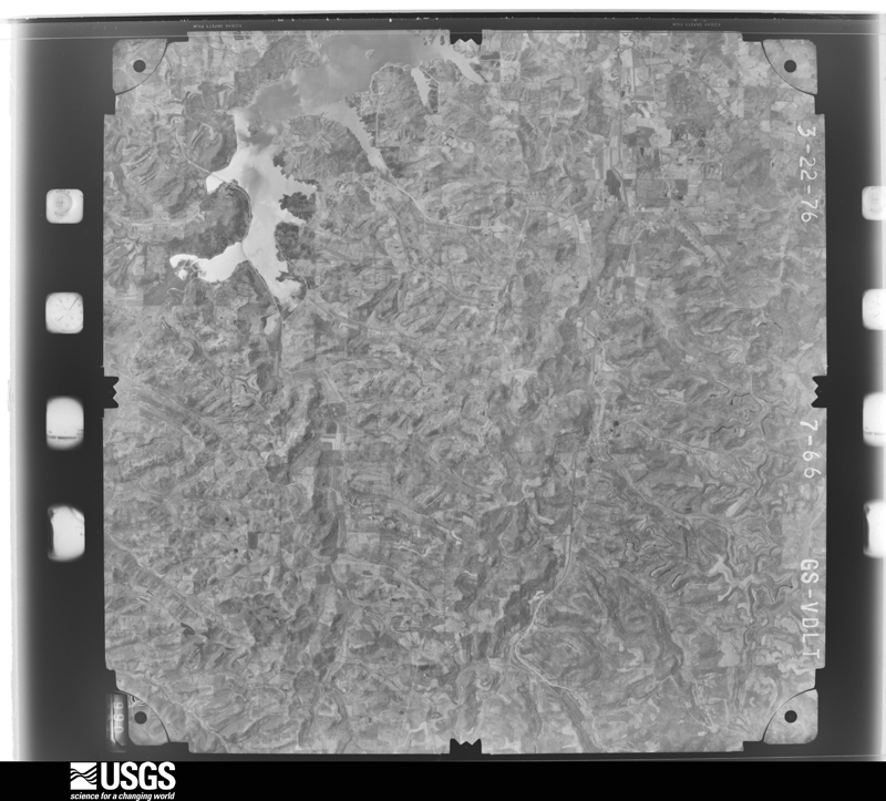
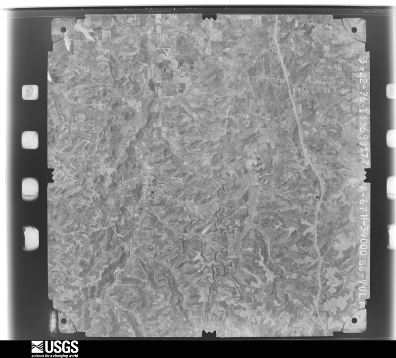
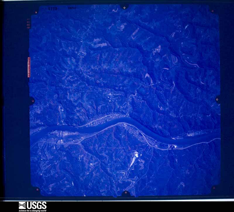
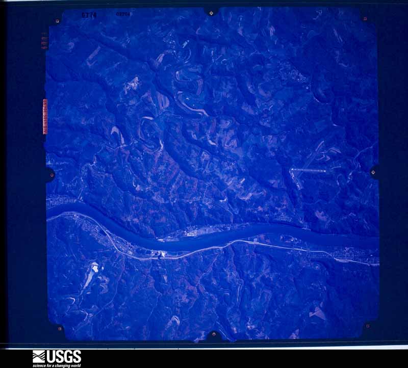
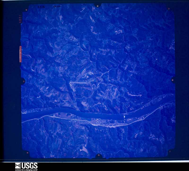
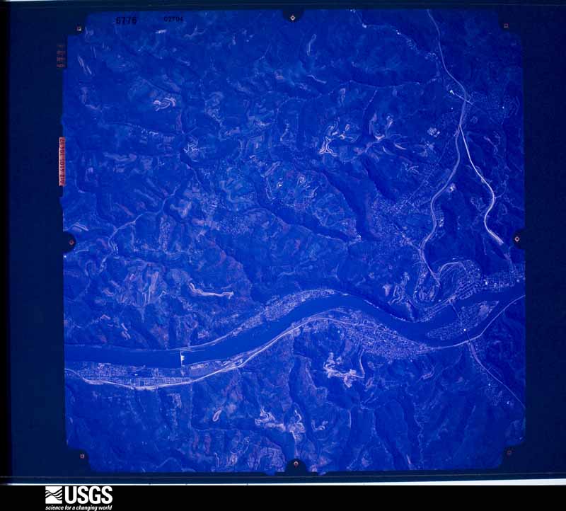
The county from the air
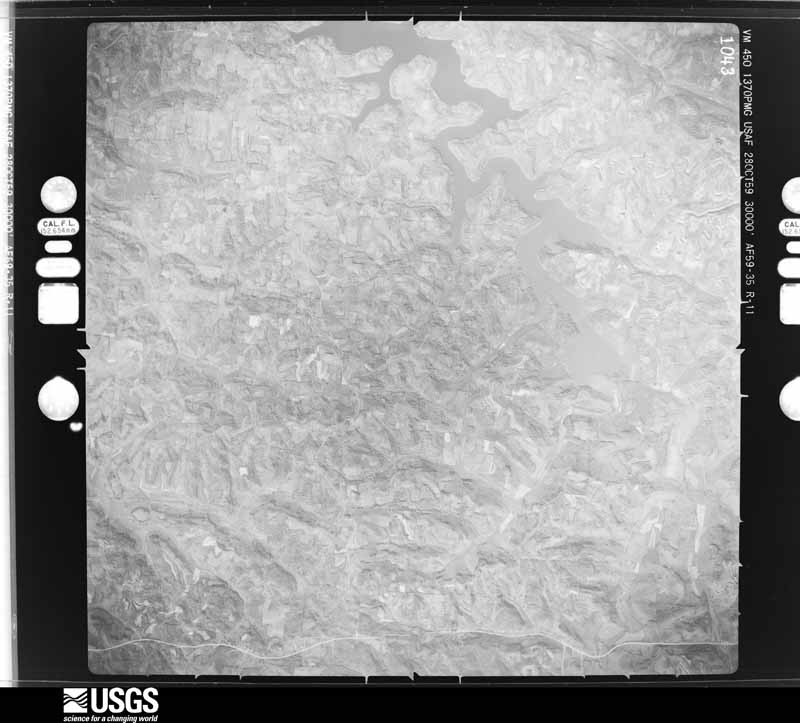
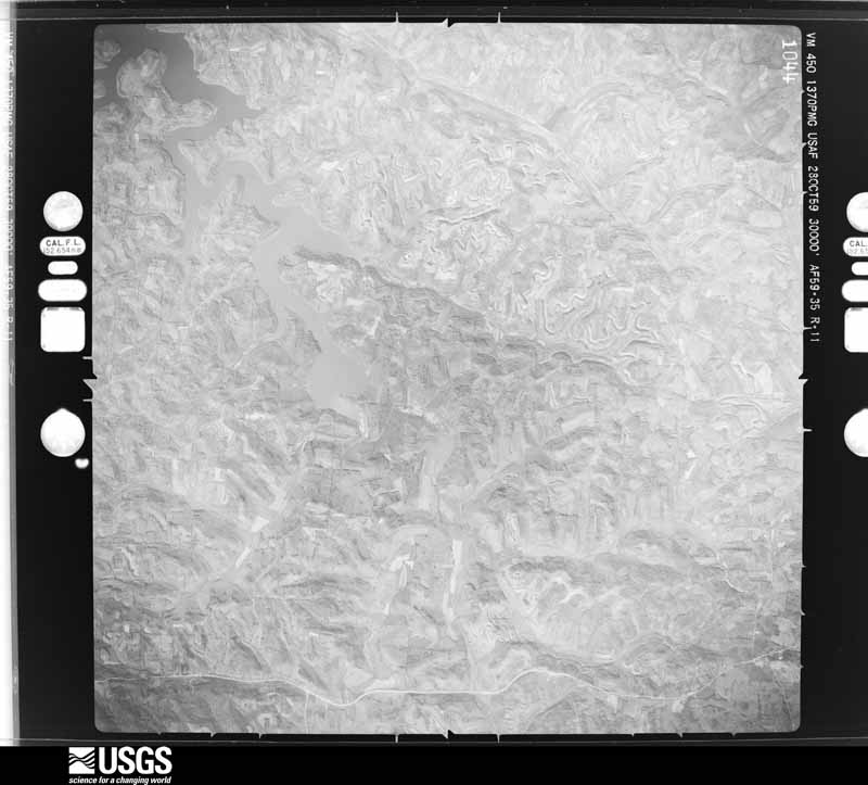
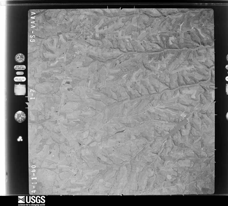
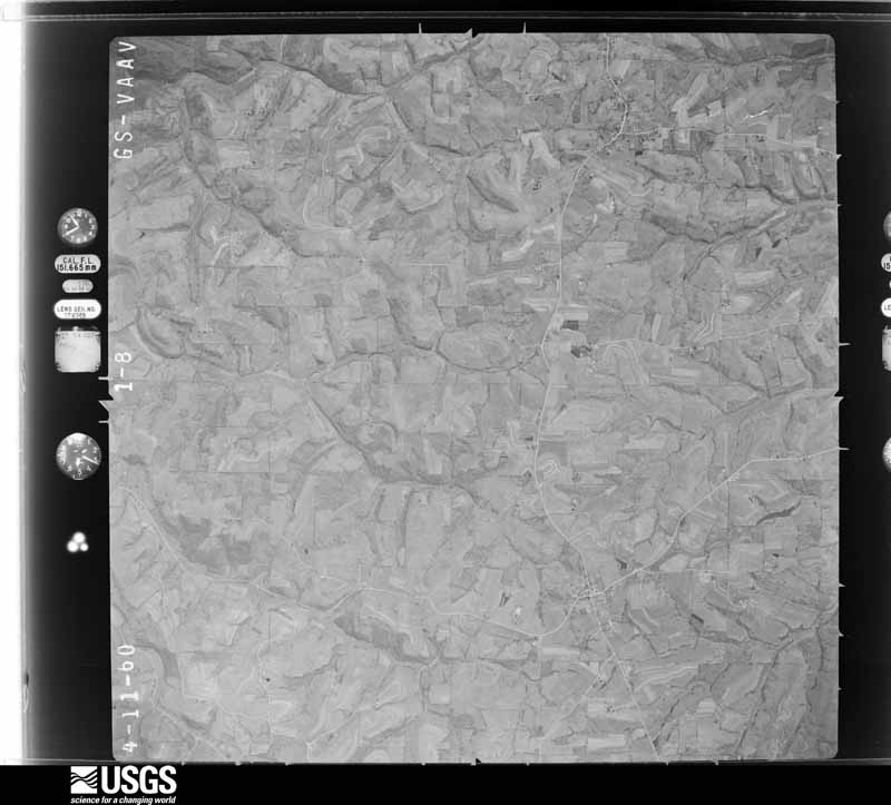
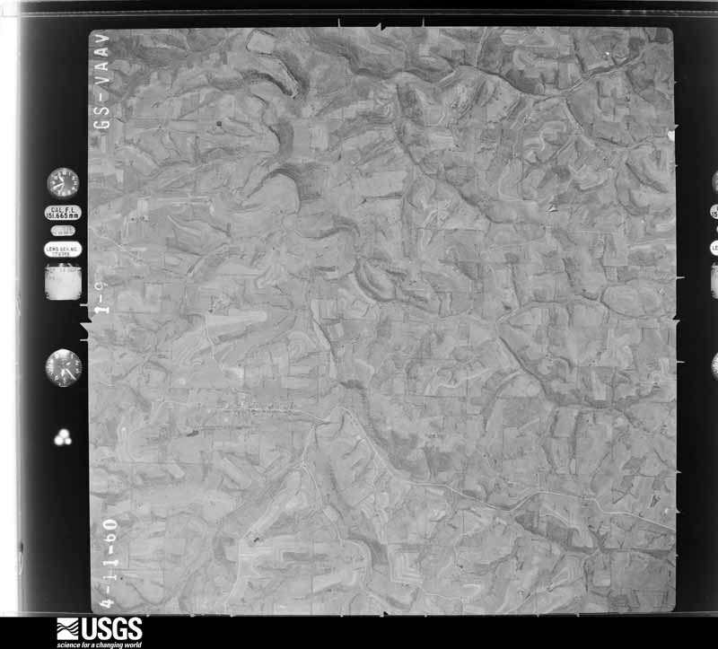
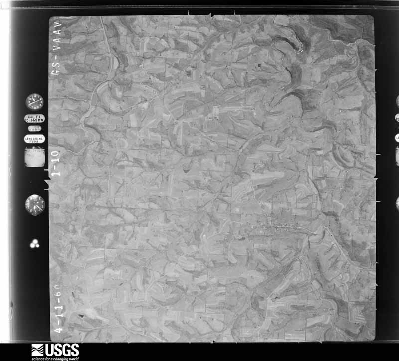
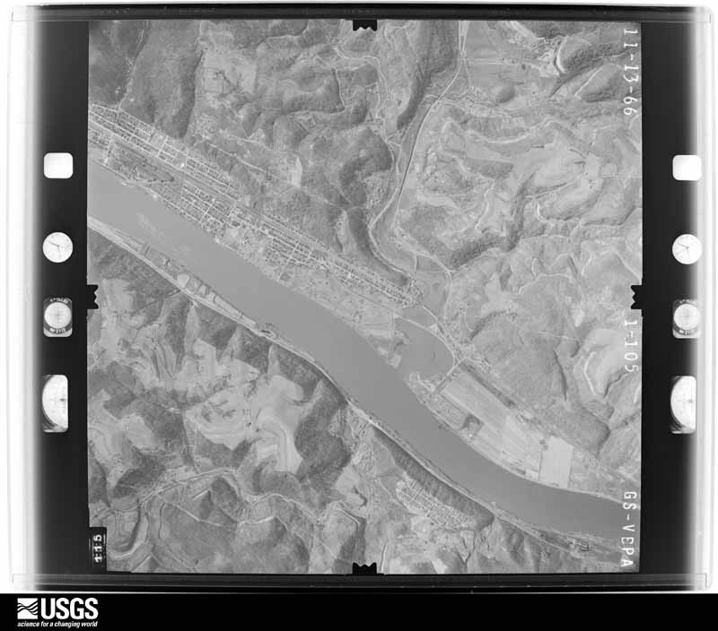
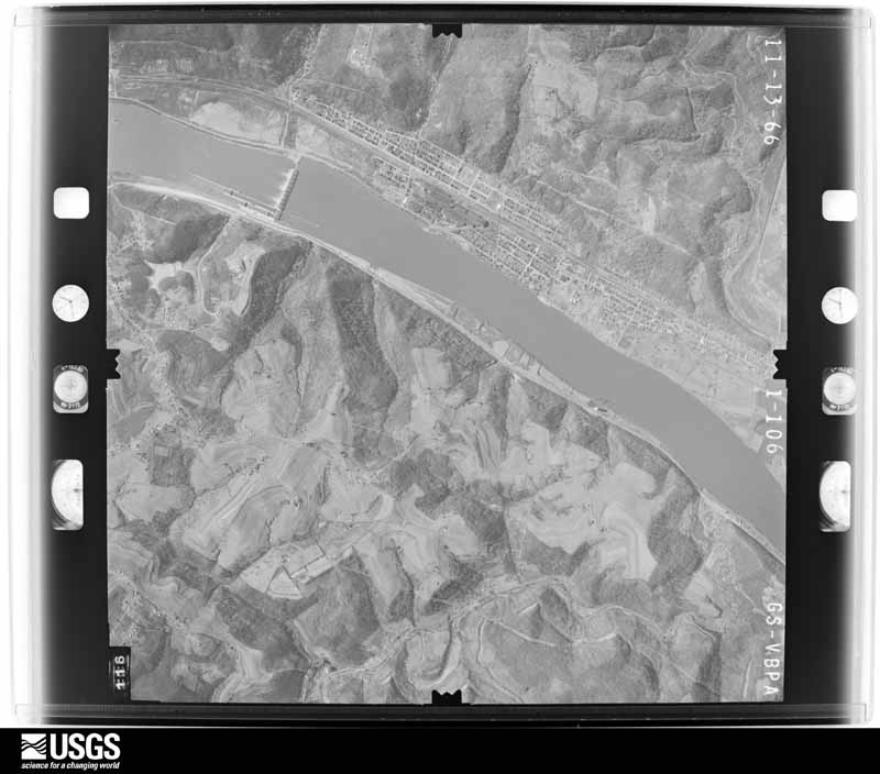
44 of 624 shown
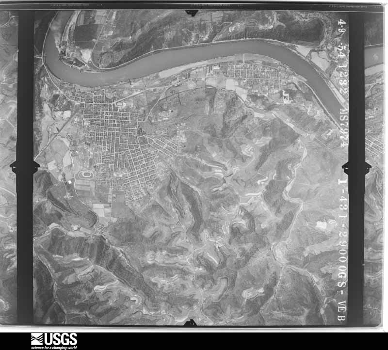
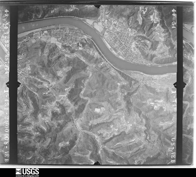
Flown by the U.S. Geological Survey
between 1937 and 1989, the Aerial Photo Single Frames collection is
the definitive mid-century view of the land: fields, roads and rivers
as the camera saw them. 624 frames touch this county; the
selection below spreads across the decades of flights (at most four
per year), so one flight cannot crowd out the rest. The full set is
free to browse and download at
EarthExplorer under the dataset Aerial Photo Single
Frames.
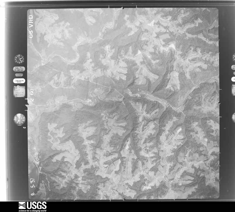
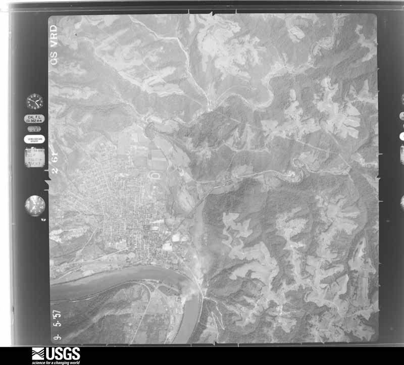
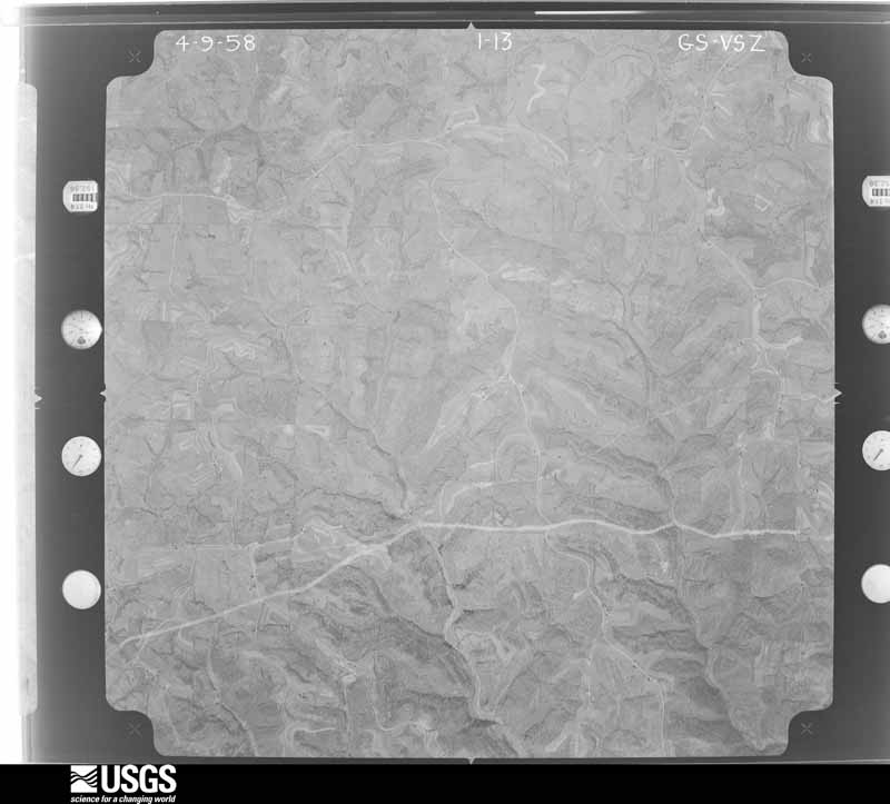
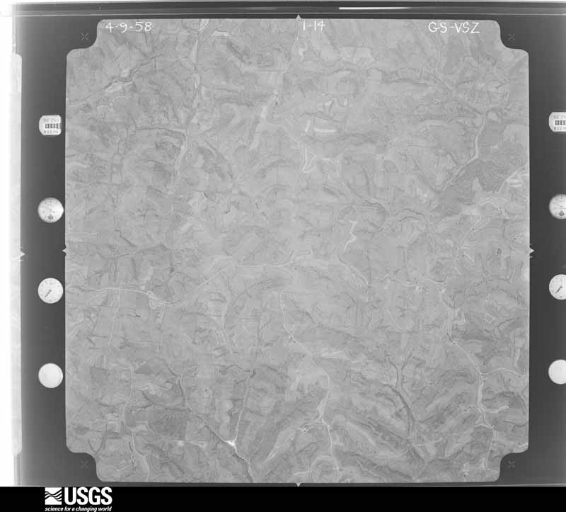
1954-04-09, scale 1:29000. U.S. Geological Survey aerial photograph.1954-04-09, scale 1:29000. U.S. Geological Survey aerial photograph.1954-04-09, scale 1:29000. U.S. Geological Survey aerial photograph.1954-04-09, scale 1:29000. U.S. Geological Survey aerial photograph.1957-09-01, scale 1:31000. U.S. Geological Survey aerial photograph.1957-09-01, scale 1:31000. U.S. Geological Survey aerial photograph.1957-09-01, scale 1:31000. U.S. Geological Survey aerial photograph.1957-09-01, scale 1:31000. U.S. Geological Survey aerial photograph.1958-04-09, scale 1:27000. U.S. Geological Survey aerial photograph.1958-04-09, scale 1:27000. U.S. Geological Survey aerial photograph.1958-04-09, scale 1:27000. U.S. Geological Survey aerial photograph.1958-04-09, scale 1:27000. U.S. Geological Survey aerial photograph.1959-02-25, scale 1:29000. U.S. Geological Survey aerial photograph.1959-10-28, scale 1:60000. U.S. Geological Survey aerial photograph.1959-10-28, scale 1:60000. U.S. Geological Survey aerial photograph.1959-10-28, scale 1:60000. U.S. Geological Survey aerial photograph.1960-04-22, scale 1:28000. U.S. Geological Survey aerial photograph.1960-04-22, scale 1:28000. U.S. Geological Survey aerial photograph.1960-04-22, scale 1:28000. U.S. Geological Survey aerial photograph.1960-04-22, scale 1:28000. U.S. Geological Survey aerial photograph.1966-11-13, scale 1:24000. U.S. Geological Survey aerial photograph.1966-11-13, scale 1:24000. U.S. Geological Survey aerial photograph.1966-11-13, scale 1:24000. U.S. Geological Survey aerial photograph.1966-11-13, scale 1:24000. U.S. Geological Survey aerial photograph.1971-04-16, scale 1:98201. U.S. Geological Survey aerial photograph.1971-04-16, scale 1:98201. U.S. Geological Survey aerial photograph.1971-04-16, scale 1:98201. U.S. Geological Survey aerial photograph.1971-04-16, scale 1:98201. U.S. Geological Survey aerial photograph.1972-05-11, scale 1:24000. U.S. Geological Survey aerial photograph.1972-05-11, scale 1:24000. U.S. Geological Survey aerial photograph.1972-05-11, scale 1:24000. U.S. Geological Survey aerial photograph.1972-05-11, scale 1:24000. U.S. Geological Survey aerial photograph.1975-05-02, scale 1:78000. U.S. Geological Survey aerial photograph.1975-05-02, scale 1:78000. U.S. Geological Survey aerial photograph.1975-05-02, scale 1:78000. U.S. Geological Survey aerial photograph.1975-05-02, scale 1:78000. U.S. Geological Survey aerial photograph.1976-03-22, scale 1:78000. U.S. Geological Survey aerial photograph.1976-03-22, scale 1:78000. U.S. Geological Survey aerial photograph.1976-03-22, scale 1:78000. U.S. Geological Survey aerial photograph.1976-03-22, scale 1:78000. U.S. Geological Survey aerial photograph.1978-10-29, scale 1:65000. U.S. Geological Survey aerial photograph.1978-10-29, scale 1:64000. U.S. Geological Survey aerial photograph.1978-10-29, scale 1:64000. U.S. Geological Survey aerial photograph.1978-10-29, scale 1:64000. U.S. Geological Survey aerial photograph.
City directories
4 volumes
The "who lived here, by year" answer:
pre-1929 public-domain directory volumes naming the county's people,
machine-read and searchable as text.
The thermometers that kept this
county's weather, and the gages that watched its rivers, as the
federal records hold them. The extremes below are measured values
from those records, not estimates.
WHEELING (1)1891 to 1933, hottest 43.3 C, coldest -26.7 C
MOUNDSVILLE (1)1901 to 1926, hottest 41.7 C, coldest -25.6 C
Who lived here in 1950, one enumeration
district at a time, as the Census Bureau described each district.
Each row opens its official National Archives result, with Population
Schedules and ED Maps available there.
7-1Colerain township: Barton, unincorporated Bounded by East-west line extending 1/4 mile westward from point where County Rd. 5 crosses Steep Run in vicinity of Coal Mine; South-east line from point where County Rd. 5 crosses Steep Run in visinity of Coal Mine to the northwest bend of Burton - Farmington Rd., Burton - Farmington Rd. to the point where road bends toward Church St., Church St., Unnamed Stream, Burton - Blaine Rd. (Sycamore St.); Colerain - Richland township line; Electric line Railroad, Unnamed street, County Rd. 5, Spur line of Cleveland, Lorain & Wheeling Railroad, Main line of Cleveland, Lorain & Wheeling Railroad, offset line 1/4 mile west of County Rd. 5 (Colerain Pike)
7-2Maynard, unincorporated Bounded by County Rd. 32; Unnamed road; Unnamed road; Wheeling Creek, a line extended from Wheeling Creek to intersection of unnamed road and Western and Lake Erie Railroad, a point to point connection from this intersection to intersection of County Rds. 12 and 32
7-3Colerain township - That part northeast of U.S. Hwy. 250
7-4Colerain township - That part southwest of U.S. Hwy. 250, northwest of County Rds. 24 and 5 and north of Western and Lake Erie Railroad, outside the unincorporated places of Barton and Maynard (See seperate maps for boundaries of Barton and Maynard)
7-5Colerain township - That part south of Western and Lake Erie Railroad, outside the unincorporated places of Barton and Maynard (See seperate maps for boundaries of Barton and Maynard)
7-6Colerain township - That part Bounded by County Hwy. 24, U.S. Hwy. 250; Township line, Seaptown Hollow Run, Lorain Ave., Power line, Wheeling Creek, Township line; Township line; Barton - Blaine Rd. (Sycamore), Unnamed stream, Church, Barton - Farmington Rd., Northwest line from northernwest bend of Barton - Farmington Rd. to point where County Rd. 5 crosses Steep Run in vicinity of Coal Mine
7-7Colerain township - That part Bounded by Lorain Ave., Soaptown Hollow Run; Township line; Wheeling Creek; Power line
7-8Flushing township: Flushing village: Flushing village - That part Bounded by Village limits; Village limits; Mill; Pearl, High, North West
7-9Flushing village - That part Bounded by North West, High; Pearl, Mill, Village limits; Village limits; Village limits
7-13Bethesda village: Bethesda village - That part east of Baltimore and Ohio Railroad
7-14Bethesda village - That part west of Baltimore and Ohio Railroad
7-15Goshen township - That part east of State Hwy. 26, outside Belmont and Bethesda villages
7-16Goshen township - That part west of State Hwy. 26, outside Bethesda village
7-17Kirkwood township: Fairview village - That part in Belmont County, comprising part of Kirkwood township (Remainder of Fairview village is in Oxford township, Guernsey County)
7-18Kirkwood township - That part outside Fairview village
7-19Mead township: Shadyside village: Shadyside village - That part Bounded by Village limits; Village limits; E. 36th, Highland Ave., E. 37th; Central Ave.
7-20Shadyside village - That part Bounded by E. 37th, Highland Ave., E. 36th; Village limits; E. 40th, Highland Ave., E. 39th; Central Ave.
7-21Shadyside village - That part Bounded by Village limits; Central Ave.; W. 40th, Jefferson, W. 41st; Village limits
7-22Shadyside village - That part Bounded by W. 41st, Jefferson, W. 40th; Central Ave.; W. 43rd; Village limits
7-23Shadyside village - That part Bounded by W. 43rd; Central Ave.; Village limits; Village limits
7-24Shadyside village - That part Bounded by E. 39th, Highland Ave., E. 40th; Village limits; Village limits; Central Ave.
7-25Mead township - That part north of State Hwy. 147 and County Hwy. 39A, outside Shadyside village
7-26Mead township - That part south of State Hwy. 147 and County Hwy. 39A and west of R.F.D. Route 2
7-27Mead township - That part south of County Hwy. 39A, north of State Hwy. 655 and east of R.F.D. Route 2 and State Hwy. 7, outside Shadyside village
7-28Pease township: Bridgeport village: Bridgeport village - That part of Ward 1 Bounded by Wheeling Creek; Lincoln Ave.; Howard; Village limits
7-29Bridgeport village - That part of Ward 1 Bounded by Howard, Lincoln Ave., Wheeling Creek; Village limits; Village limits; Ravine Rd., Incline Rd., Marion
7-30Bridgeport village - That part of Ward 1 Bounded by Howard; Marion, Incline Rd., Ravine Rd.; Village limits; Howard
7-31Bridgeport village - That part of Ward 2 Bounded by Village limits, Ward line; Village limits; National Rd.; Rhodes, Old Cadis Rd.
7-32Bridgeport village - That part of Ward 2 Bounded by Village limits; Old Cadis Rd., Rhodes; National Rd.; Village limits
7-33Bridgeport village - That part of Ward 2 Bounded by National Rd.; Village limits; Wheeling Creek; Village limits
7-34Bridgeport village - That part comprising Ward 3 Bounded by Village limits; Village limits; Ward line; Village limits
7-36Martins Ferry city: Martins Ferry city - That part of Ward 1 Bounded by Jefferson, Jefferson extended; City limits; Buckeye, Broadway, School; Pearl
7-37Martins Ferry city - That part of Ward 1 Bounded by Adams, Pearl, School, Broadway, Buckeye; City limits; City limits; Lincoln Ave., Zane
7-38Martins Ferry city - That part of Ward 1 Bounded by Jefferson; Pearl, Adams, Zane, Lincoln Ave.; City limits; Ascension Ave., Virginia
7-39Martins Ferry city - That part of Ward 1 Bounded by Ward line, Jefferson; Virginia, Ascension Ave.; City limits; City limits
7-40Martins Ferry city - That part of Ward 2 Bounded by 4th, Locust, 5th; Walnut; City limits; Jefferson extended, Jefferson, 2nd, Clay
7-41Martins Ferry city - That part of Ward 2 Bounded by 6th; Walnut; 5th, Locust, 4th, Clay, 2nd; Jefferson, Broadway, Grant Ave.
7-42Martins Ferry city - That part of Ward 2 Bounded by City limits; Walnut; 6th, Grant Ave., Vine; Elm, Grant Ave.
7-43Martins Ferry city - That part of Ward 2 Bounded by City limits; Grant Ave., Elm, Catawba; Vine, Cross, Grandview; City limits
7-44Martins Ferry city - That part of Ward 2 Bounded by Grandview, Cross, Vine; Zane; Jefferson, Ward line; City limits
7-45Martins Ferry city - That part of Ward 2 Bounded by Vine; Grant Ave.; Jefferson; Zane
7-46Martins Ferry city - That part of Ward 3 Bounded by 3rd, Hanover, 2nd; Lombard, John, Lombard; City limits; Walnut
7-47Martins Ferry city - That part of Ward 3 Bounded by 5th; Lombard; 2nd, Hanover, 3rd; Walnut
7-48Martins Ferry city - That part of Ward 3 Bounded by 8th, Hanover, 8th; Elliott, Ward line; 5th; Walnut
7-49Martins Ferry city - That part of Ward 3 Bounded by City limits; Ward line; 8th, Hanover, 8th; Walnut
7-50Martins Ferry city - That part of Ward 4 Bounded by City limits; City limits; Center, John, Avondale Ave., 2nd, Lincoln Ave., Main, Sherman Ave.;Pennsylvania Railroad
7-51Martins Ferry city - That part of Ward 4 Bounded by City limits; Pennsylvania Railroad; Sherman Ave., New Burlington Rd., Cliff; City limits
7-52Martins Ferry city - That part of Ward 4 of Bounded by 7th, Cemetry Rd., 6th; Cliff; 5th, Center, 5th; Ward line, Ellett
7-53Martins Ferry city - That part of Ward 4 Bounded by City limits; Cliff; 6th, Cemetry Rd., 7th; Ellett, Ward line
7-54Martins Ferry city - That part of Ward 4 Bounded by 5th, Center, 5th; Cliff, New Burlington Rd., Sherman Ave.; Pennsylvania Railroad; Ellett
7-55Martins Ferry city - That part of Ward 4 Bounded by Pennsylvania Railroad; Sherman Ave., Main, Lincoln Ave., 2nd, Avondale Ave., John, Center; City limits; Lombard, John, Lombard, 2nd, Ellett
7-56Yorkville village - That part in Belmont County comprising part of Pease township (Remainder of Yorkville village is in Warren township, Jefferson County)
7-57Pease township - That part Bounded by County line; Yorkville village limits, County line; Martins Ferry city limits, State Hwy. 798; Township line
7-58Pease township - That part Bounded by State Hwy. 798 Martins Ferry city limits; State Hwy. 647; Township line
7-59Pease township - That part Bounded by State Hwy. 647; Martins Ferry city limits, Bridgeport village limits; U.S. Hwy. 250; Township line
7-60Pease township - That part Bounded by U.S. Hwy. 250; U.S. Hwy. 250; Bridgeport village limits, Brookside village limits, U.S. Hwy. 40, Adolph Ave., Maple Ave., Elm, Locust Ave.; Township line
7-61Pease township - That part Bounded by Locust Ave., Elm, Maple Ave.; Adolph Ave., U.S. Hwy. 40, Mutton Hollow Creek; Wheeling Creek; Township line
7-62Pease township - That part Bounded by U.S. Hwy. 40, Brookside village limits; Bridgeport village limits; Nimellon Dr. (Elm), High, Willow, Boyd Ave., Spring, Spring extended, Baltimore and Ohio Railroad; Wheeling Creek, Mutton Hollow Creek
7-63Pease township - That part Bounded by Wheeling Creek, Baltimore and Ohio Railroad, Spring extended, Spring, Boyd Ave., Willow, High, Mimellon Dr. (Elm), Bridgeport village limits; County line; Township line; Township line
7-64Pultney township: Bellaire city: Bellaire city - That part of Ward 1 Bounded by Baltimore and Ohio Railroad; City limits; 26th extended, 26th; Baltimore and Ohio Railroad
7-65Bellaire city - That part of Ward 1 Bounded by Baltimore and Ohio Railroad, 26th extended; City limits; Mellahons Creek; City limits
7-66Bellaire city - That part of Ward 1 Bounded by Mellahons Creek; Belmont; 18th, Guernsey, W. 23rd; City limits
7-67Bellaire city - That part of Ward 1 Bounded by W. 23rd; Guernsey, Seneca; City limits; City limits
7-68Bellaire city - That part of Ward 1 Bounded by Seneca, Guernsey, 18th; Belmont; City limits; City limits
7-69Bellaire city - That part of Ward 1 Bounded by Mellahons Creek; City limits; City limits; Belmont
7-70Bellaire city - That part of Ward 2 Bounded by 34th, Ward line; City limits; 31st; Guernsey
7-71Bellaire city - That part of Ward 2 Bounded by 34th; Guernsey; 31st, Baltimore and Ohio Railroad, Birch; Washington
7-72Bellaire city - That part of Ward 2 Bounded by City limits, 34th; Washington; Birch, Trumbull, Birch; Wagner Ave., Maple, City limits
7-73Bellaire city - That part of Ward 2 Bounded by City limits; Maple, Wagner Ave., Birch, Trumbull, Birch; Baltimore and Ohio Railroad; City limits
7-74Bellaire city - That part of Ward 3 Bounded by Ward line, Indian Run; City limits; Ward line, 34th; Noble, 37th, Noble
7-75Bellaire city - That part of Ward 3 Bounded by 38th, Harrison, 41st; Noble, 37th, Noble; 34th; Trumbull, 36th, Trumbull
7-76Bellaire city - That part of Ward 3 Bounded by City limits, 4lst; Harrison, 38th, Trumbull, 36th, Trumbull; 34th; City limits
7-77Bellaire city - That part of Ward 4, including Boggs Island Bounded by City limits; City limits; Indian Run, Ward line; Baltimore and Ohio Railroad, Guernsey, Union
7-78Bellaire city - That part of Ward 4, including Boggs Island Bounded by City limits; Union, Guernsey; 46th; Harrison, 47th, Jefferson
7-79Bellaire city - That part of Ward 4 Bounded by City limits; Jefferson; 47th; Franklin, City limits
7-80Bellaire city - That part of Ward 4 Bounded by City limits, Franklin, 47th; Harrison, 46th, Franklin; 41st; City limits
7-81Bellaire city - That part of Ward 4 Bounded by 46th; Noble, 44th, Harrison; 41st; Franklin
7-82Bellaire city - That part of Ward 4 Bounded by 46th; Guernsey, Baltimore and Ohio Railroad; Ward line, 41st; Harrison, 44th, Noble
7-83Neffs, unincorporated Bounded by Harrison extended, Harrison, Harrison extended, Unnamed street, Unnamed street, Unnamed street extended; Unnamed road, County Rd. 36, Unnamed road; Baltimore and Ohio Railroad; County Rd. 38, A northeasterly line from junction of County Rd. 38 and County Rd. 37 to junction of County Rd. 36 and Unnamed road
7-84Pultney township - That part Bounded by Whiskey Run Rd., Whiskey Run Rd. extended; County line; Bellaire city limits; Telephone cable pole line
7-85Pultney township - That part northeast of State Hwy. 214, west of telephone cable pole line and north of Whiskey Run Rd. and Whiskey Run Rd. extended, outside Bellaire city
7-86Pultney township - That part north of Baltimore and Ohio Railroad and southwest of State 214, outside Bellaire city and the unincorporated place of Neffs (See separate map for boundaries of Neffs)
7-87Pultney township - That part south of Baltimore and Ohio Railroad and north of State Hwy. 147 outside Bellaire city and the unincorporated place of Neffs (See separate map for boundaries of Neffs)
7-88Pultney township - That part south of County Hwy. 43 and north of State Hwy. 147
7-89Pultney township - That part south of State Hwy. 147, outside Bellaire city
7-90Richland township: St. Clairsville village: St. Clairsville village - That part Bounded by Village limits; Village limits; National Rd., E. Main, Main; N. Sugar, Newell Ave., N. Sugar
7-91St. Clairsville village - That part Bounded by Village limits; N. Sugar, Newell Ave., N. Sugar; Main, W. Main; Village limits
7-92St. Clairsville village - That part Bounded by W. Main, Main; S. Sugar, High; Village limits; Village limits
7-93St. Clairsville village - That part Bounded by Main, E. Main, National Rd.; Village limits; Village limits; High, S. Sugar
7-94Richland township - That part north of U.S. Hwy. 40, and east of State Hwy. 9, outside St. Clairsville village
7-95Richland township - That part west of State Hwy. 9, north of U.S. Hwy. 40, outside St. Clairsville village excluding Belmont County Infirmary
7-96Belmont County Infirmary (In Richland township)
7-97Richland township - That part south of U.S. Hwy. 40, north of Baltimore and Ohio Railroad and west of State Hwy. 9, outside St. Clairsville village
7-98Richland township - That part east of State Hwy. 9, south of Baltimore and Ohio Railroad and north of County Hwy. 37
7-99Richland township - That part south of County Hwy. 37
7-100Smith township: Smith township - That part north of State Hwy. 147
7-101Smith township - That part south of State Hwy. 147
7-102Somerset township: Somerset township - That part north of County Hwy. 53
7-103Somerset township - That part south of County Hwy. 53
7-105Union township - That part north of U.S. Hwy. 40 and east of State Hwy. 149, outside Morristown village
7-106Union township - That part west of State Hwy. 149 and north of U.S. Hwy. 40, outside Morristown village
7-107Union township - That part south of U.S. Hwy. 40, outside Morristown village
7-108Warren township: Barnesville village: Barnesville village - That part of Ward 1 Bounded by Village limits; Village limits; Village limits, Mulberry, Walnut; Lincoln Ave., Euclid Ave., Bond Ave.
7-109Barnesville village - That part of Ward 1 Bounded by Euclid Ave., Lincoln Ave., Walnut, Mulberry, Village limits; Village limits; E. Main, Main; Chestnut
7-110Barnesville village - That part of Ward 2 Bounded by E. Main; Village limits; Village limits; Lincoln Ave., Clinton, Henderson
7-111Barnesville village - That part of Ward 2 Bounded by Main; Henderson, Clinton, Lincoln Ave.; Village limits; State Hwy. 8, Chestnut
7-112Barnesville village - That part of Ward 3 Bounded by Village limits; Bond Ave., Chestnut; Main; Gardner, Church, Broadway, Kirk Ave., State Hwy. 8
7-113Barnesville village - That part of Ward 3 Bounded by Village limits; State Hwy. 8, Kirk Ave., Broadway, Church, Gardner; Main, N. Main; Village limits
7-114Barnesville village - That part of Ward 4 Bounded by Main; Chestnut, State Hwy. 8; Village limits; Gardner
7-115Barnesville village - That part of Ward 4 Bounded by W. Main, Main; Gardner; Village limits; Village limits
7-116Warren township - That part east of State Hwy. 8 outside Barnesville village and excluding Belmont County Children's Home
7-117Belmont County Children's Home (In Warren township)
7-118Warren township - That part west of State Hwy. 8, outside Barnesville village
7-120Wayne township: Wayne township - That part east of State Hwy. 26
7-121Wayne township - That part west of State Hwy. 26
7-122Wheeling township: Wheeling township - That part northeast of R.F.D. 2
7-123Wheeling township - That part northeast of State Hwy. 9 and southwest of R.F.D. 2
7-124Wheeling township - That part east of County Hwys. 16 and 48 and southwest of State Hwy. 9
7-125Wheeling township - That part west of State Hwy. 9, and west of County Hwys. 16 and 48
7-126York township: Powhatan Point village: Powhatan Point village - That part north of State Hwys. 7 and 148
7-127Powhatan Point village - That part west of State Hwys. 7 and 148
7-128Powhatan Point village - That part southeast of State Hwy. 7
7-129York township - That part outside Powhatan Point village
Businesses named in the atlases
90 businesses
Every Sanborn volume opens with a printed index
naming the town's mills, tanneries, hotels and works by proprietor. Those
indexes were read off the scanned sheets by machine and then matched to each
other, so a business surveyed four times appears here once, with the years it
survived. 19 of these 90 were named in more than one atlas. Each carries a
crop of the line it was read from: the spelling is the recogniser's and the
1880s lithographer's, and the scan behind it is the proof.
Every wildfire the federal occurrence
database records inside this county: 140 of them, burning about
494 acres. 1 started naturally and 8 were
recorded as arson. Each settlement page carries the fires within five
miles of it.
Reported cause
Fires
Debris and open burning
75
Missing data/not specified/undetermined
21
Power generation/transmission/distribution
9
Arson/incendiarism
8
Misuse of fire by a minor
7
Equipment and vehicle use
6
Recreation and ceremony
5
Smoking
4
Other causes
3
Railroad operations and maintenance
1
Natural
1
The five largest, by the area the report
gives. None of them was recorded as arson.
Date
Cause
Size
Reported by
Name on the report
3 April 2019
Missing data/not specified/undetermined
100 acres
Ohio Department of Natural Resources
15095
4 November 2014
Missing data/not specified/undetermined
49 acres
Ohio Department of Natural Resources
not named
23 March 2014
Debris and open burning
40 acres
Ohio Department of Natural Resources
not named
8 April 2013
Missing data/not specified/undetermined
25 acres
Ohio Department of Natural Resources
not named
15 March 2014
Missing data/not specified/undetermined
21 acres
Ohio Department of Natural Resources
not named
12 November 2010
Debris and open burning
20 acres
Ohio Department of Natural Resources
not named
11 March 2014
Debris and open burning
15 acres
Ohio Department of Natural Resources
not named
7 September 2002
Equipment and vehicle use
15 acres
Ohio State Fire Marshal's Office
not named
Every settlement page carries the fires within five
miles of it - see the settlement index below.
Storms, 1968 to
2026
60 of 476 shown
The
NOAA Storm Events Database holds
476 reports for this county, causing 3 deaths,
7 injuries and about $11,492,000 in recorded property damage.
Each settlement page carries the reports that name it.
Kind of event
Reports
Thunderstorm Wind
236
Flash Flood
98
Hail
95
Flood
34
Tornado
5
Heavy Rain
4
Lightning
2
Debris Flow
1
Funnel Cloud
1
The most serious of them, by death, then
injury, then recorded damage. The accounts are quoted exactly as the
forecast office filed them.
An inmate was killed and five others injured after a lightning strike at the Belmont County Correctional Facility while prisoners were in the recreational yard. Three of the injured were taken to the hospital for treatment.
Emergency management reported flash flooding in Willow Grove, which is near Neffs. 97 homes and businesses were damaged, with other damage to roads and bridges. The estimated total damage was near 1.3 million dollars. 6 people were evacuated from homes but there were no injuries.
The National Weather Service surveyed three touch down points in|Belmont county. The first was in the small town of Loomis where|several hardwood trees had large branches down and a tree was|uprooted. The next point was a roof that was blown off a business|and displaced nearly 150 yards behind the business. In addition, a|motor home was toppled over and landed on two sports car damaging|both of them. A shed was also destroyed at this location, which |was adjacent to the business. The last point several hardwood|trees where knocked down. Estimated Maximum Wind Speed...90mph to 95mph.|Estimated damage cost was provided by the local emergency manager.
Roof damage occurred to several buildings including McNear Hardware on First Street. Trees were downed in several locations. Wayne County Creston,02,1530EST- *,,1540EST,,,0,0,3,0,Thunderstorm Winds At least one car was damaged by fallen trees.
An EF-1 tornado started in the Hidden Springs Drive area where at|least three homes had trees fall on them. In addition, several |hardwood trees were uprooted. The tornado continued east-southeast|snapping softwood pines and downing large branches from hardwood |trees on Maynard Road. There was a barn destroyed on Maynard Road|along with minor damage to soffit. The tornado lifted as it |crossed Kagg Hill Road.
Emergency management and a trained spotter reported trees down in Morristown, structural damage to the roof of a house and a barn near SR 149 southeast of Morristown, and trees and power lines down south of Belmont.
A swath of wind damage was noted by an NWS storm survey, extending from near Scout Road to School House Road. Most damage consisted of broken and uprooted trees, but on Scout Road, one outbuilding was destroyed and another lost some roofing material.
Emergency management reported Wegee Creek, Pipe Creek, Cumberland Creek out of their banks with flash flooding affecting Pipe Creek Rd, Wegee Creek Rd, and Mead TWP Rd 239.
Heavy thunderstorm rains forced creeks out of their banks producing flooding across the eastern part of the county. The Neffs area was especially hard hit. An emergency management official measured just over 3.0 inches of rain in a two-hour period. Several area residents were forced to evacuate their homes in the Neffs area as Little McMahon Creek, along with other small creeks, overflowed its banks. Some residents also reported losses of cars, motorcycles and other vehicles that were swept away in the high waters. Two baseball fields in the Neffs area were severely damaged by the flood waters. Across the southeast corner of the county, trees, rocks and mud slid down the hillside of State Route 7, just north of Powhatan Point, forcing the road to be closed for several hours.
Thunderstorm rains produced flooding of two to three feet of water on Central Avenue. Several businesses received damage from the water. Wegee Creek rose out of its banks.
Numerous trees and power lines down in Barnesville, Bethesda, St Clairsville (on Rte 40), and 10 miles west of St Clairsville (along I-70), and elsewhere in the county. 11,000 customers lost electricity.
Another round of heavy thunderstorm rains forced already-swollen creeks and streams out of their banks across the county. The Neffs and Centerville areas, already recovering from flooding earlier in the week, were again hit hard. In the Powhatan Point area, State Route 7 was closed for a period of time by mudslides.
Strong thunderstorms produced rainfall amounts of between 1.5 and 2 inches in less than 2 hours over the eastern part of the county, and caused minor road and basement flooding in many areas, including the St. Clairsville, Glencoe, Colerain and Neffs areas. A retirement center in Neffs had a few inches of water in some of its units as a result of poor drainage around the building. In Warnock, the Post Office was evacuated due to high water.
Thunderstorm rains caused flooding on SR 5, closing it. CR 4 was closed for a half-hour due to localized flooding. Several basements in the Colerain area were flooded.
Emergency management reported SR 7 closed due to flooding from Turkey Run near Shadyside, as well as flooding near Powhatan Point from Moores Run and Cats Run along SR 148 and CR 56.
Heavy rains from thunderstorms produced flooding at several locations across the County. Slope Creek rose out of its banks, forcing the closure of State Route 800 from just south of Somerton to the Monroe County line. Along this stretch of State Route 800, a woman had to be rescued from her car when it stalled in around 2 feet of water. Street flooding was also reported in the Aetnaville neighborhood of Bridgeport. In Shadyside, minor flooding was reported at the Shadyside Marina.
State official reported roads closed around Bridgeport; some with two feet of water over the road.
Mines and
quarries
12 recorded
The Survey's mineral resources record
lists 12 workings inside this county. 5 still
produce and 7 are closed or unrecorded. Each settlement
page carries the workings within five miles of it.
Commodity
Workings
Limestone, General
3
Stone, Crushed/Broken
3
Sand and Gravel, Construction
2
Bituminous
1
Clay, Stone, Crushed/Broken, Bituminous
1
Iron
1
Silica
1
Bituminous, Stone, Crushed/Broken
1
The least common of them first, because a
county's hundredth gravel pit says nothing its first ten did not.
Museum specimens collected inside this
county and catalogued with a date and a place: 1,589 of them, by
kingdom 1,127 plantae, 319 animalia, 139 fungi, 4 unrecorded. Each is a physical object in a named collection, not a
sighting. Held by F, CM, Ohio State University - Fish Division, Columbus, OH (OSUM), UMMZ, Ohio State University - Bird Division, Columbus, OH (OSUM), INHS among others, and each settlement page carries
the specimens collected near it.
The oldest of them. A specimen proves
something was collected on that day; its absence proves nothing.
Centennial History of Belmont County, Ohio, and Representative Citizens. devotes a chapter to each township:
its boundaries and streams, who settled it and when, the mills, the
schools and the churches. All 16 are reproduced here in full. Each row
shows the township's own shape and where it lies in the county, drawn from
the Census Bureau's boundary. Which settlements belong to which township
is computed from that same boundary, not taken from the book.
Everyone Centennial History of Belmont County, Ohio, and Representative Citizens. stops to write about, with
the section that describes them. Among them are the men who founded the
place and governed the Territory. Each name opens the passage itself, in
the words of 1903.
Named settlements recorded in the Geographic Names
Information System, each with the topographic sheets covering it. Villages,
hamlets and abandoned places alike. Each is shown with the watercourse or
landform it stands on and the survey quadrangle it falls on. The 7
places that were also surveyed for fire insurance come first, with the
number of atlases and photographs held for them.
The complete index, with nothing left out.
Each of these is a separate record with its own page: a federal survey
report, or the case file that argued a property on to the National
Register. Both are public domain and reproduced word for word.
Topographic sheets. USGS Historical Topographic Map Collection, county index, measured from the bulk metadata.
Fire insurance maps. Library of Congress Sanborn collection, faceted to this county.
Photographs. Each place queried individually against the Library of Congress Prints and Photographs search.
Wildfire. Short, Karen C. 2022. Spatial wildfire occurrence data for the United States, 1992-2020 [FPA_FOD_20221014]. 6th Edition. Fort Collins, CO: Forest Service Research Data Archive. https://doi.org/10.2737/RDS-2013-0009.6 Collected with United States Government funding and usable without additional permissions or fees.
Specimens. Global Biodiversity Information Facility (GBIF), https://www.gbif.org/. Only records licensed CC0 or CC BY are used. Records licensed CC BY-NC are excluded because this site carries advertising. Images are checked individually and any whose licence is non-commercial, no-derivatives or unreadable is refused.
Mines and quarries. USGS Mineral Resources Data System (MRDS) https://mrdata.usgs.gov/mrds/ A work of the United States government, no copyright under 17 U.S.C. 105.
Storms. NOAA National Centers for Environmental Information, Storm Events Database https://www.ncei.noaa.gov/stormevents/ A work of the United States government, no copyright under 17 U.S.C. 105. Narratives are quoted verbatim from the National Weather Service report and are not edited or summarised.
 Block
Block