 Block
Block
Belmont Ridge, Ohio
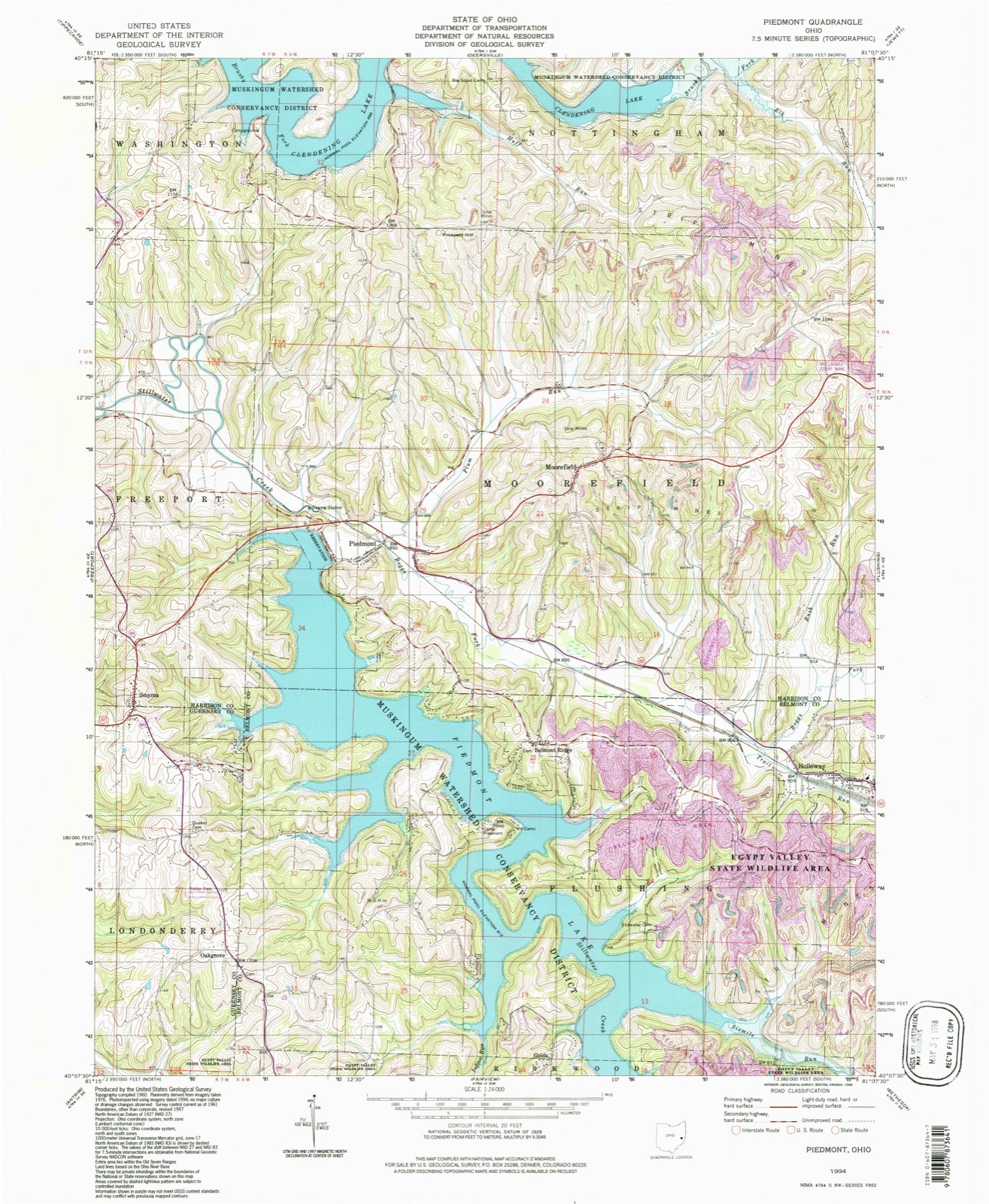
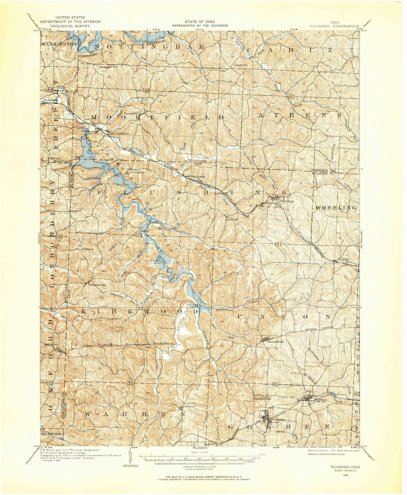
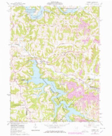
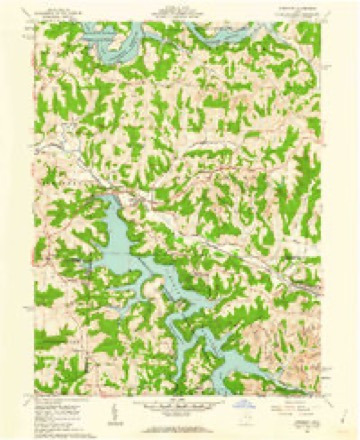
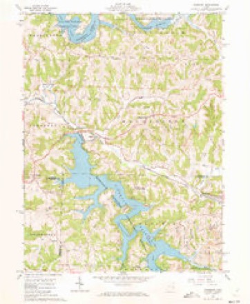
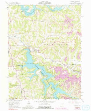
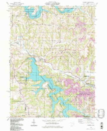
14 topographic sheets cover this place, the earliest surveyed in 1903 and the latest in 1994. It stands in Flushing Township. It lies in ZIP code area 43983. The Survey maps it on the Piedmont quadrangle.
Then and now
1903 to 1994The same ground, surveyed 91 years apart. Drag the handle to wipe between them. Both sheets are United States Geological Survey originals; neither has been altered.
Compare 1903 against another survey:
Topographic sheets covering this place
14 sheetsMatched by testing this settlement's coordinate against the published boundary of every sheet in the United States Geological Survey's historical collection. Each opens the scanned sheet at the Survey.
- 1903 USGS Flushing quadrangle1:62500
- 1905 USGS Flushing quadrangle1:62500
- 1951 USGS Canton quadrangle1:250000
- 1953 USGS Canton quadrangle1:250000
- 1957 USGS Canton quadrangle1:250000
- 1957 USGS Canton quadrangle1:250000
- 1957 USGS Canton quadrangle1:250000
- 1961 USGS Piedmont quadrangle1:24000
- 1961 USGS Piedmont quadrangle1:24000
- 1961 USGS Piedmont quadrangle1:24000
- 1961 USGS Piedmont quadrangle1:24000
- 1962 USGS Canton quadrangle1:250000
- 1962 USGS Canton quadrangle1:250000
- 1994 USGS Piedmont quadrangle1:24000







In the county-history sources
5,223 words on this townshipCentennial History of Belmont County, Ohio, and Representative Citizens., published 1903 names this settlement in its chapter on Flushing Township. These are the passages that mention it, exactly as the scans read.
Ginseng and snakeroot were commodities much sought after in those days. The former commanded 10 cents and the latter 25 cents per pound. Farmers' wives and children were kept busy gathering these roots, which were exchanged for powder and lead, the former of which sold for $1.50 per pound, and the latter for 25 cents per pound. It is needless to add there was no useless waste of ammunition in target shooting by the pioneer boys. Another commodity in great request was salt, which was brought on pack horses from Virginia, and sold for $8 per bushel.
Passage source: Centennial History of Belmont County, Ohio, and Representative Citizens., published 1903.
Who will deny that in those days of primitive simplicity, when the worshipers were clad in red flannel and linsey-woolsey, there was not more zeal and enthusiasm in the service of God, than in our richly dressed congregations of today?
Passage source: Centennial History of Belmont County, Ohio, and Representative Citizens., published 1903.
The Methodist Episcopal Church of Belmont Ridge. - This old church was built in 1831. Previous to that, services were held by the noted divine, Rev. James Findley, in the home of Samuel Burroughs. In 1811, George Winrod moved to section 14, where regular preach- ing services and class meetings were held, there and in the home of Dr. Watkins, until the construction of the church. The church has ever been a station, served in the olden times by "circuit riders." Some of the old-time preachers were: Revs. John Graham, John McMahon, vSanuiel Hamilton, Samuel Young, William Lamden, William Tipton, James Moore, John Minor and Samuel Brockunier.
Passage source: Centennial History of Belmont County, Ohio, and Representative Citizens., published 1903.
Machine-read from a century-old scan, so expect the errors a machine makes: misspelled names, dropped words, stray characters.
Read the whole chapter on Flushing Township - it names this place 2 more 2 times.
Fires near this place
5 since 2003Regional context, not property-specific evidence. The federal wildfire occurrence database lists 5 fires within 5 miles of Belmont Ridge between 2003 and 2019, burning about 7 acres in total. None started naturally. None was recorded as arson. Distance is straight-line from the map coordinates, so a fire counted here may appear on a neighbouring settlement's page as well.
| Reported cause | Fires |
|---|---|
| Debris and open burning | 4 |
| Missing data/not specified/undetermined | 1 |
The most recent of them, most recent first, with the day each was reported and the service that recorded it.
| Date | Cause | Size | Reported by | Name on the report |
|---|---|---|---|---|
| 31 May 2015 | Debris and open burning | under an acre | Ohio Department of Natural Resources | 1501 |
| 29 March 2004 | Debris and open burning | under an acre | Ohio Department of Natural Resources | not named |
| 28 March 2003 | Debris and open burning | under an acre | Ohio Department of Natural Resources | not named |
| 27 March 2019 | Debris and open burning | 5.5 acres | Ohio Department of Natural Resources | 15045 |
| 27 March 2019 | Missing data/not specified/undetermined | 1.0 acres | Ohio Department of Natural Resources | 15096 |
Settlements close enough to share some of these fires:
Specimens collected near this place
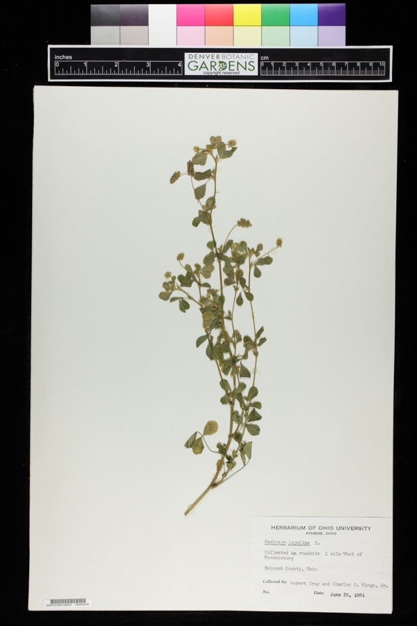
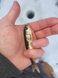
12 of 57 shownRegional context, not property-specific evidence. Museums hold 57 specimens collected within 10 miles of Belmont Ridge between 1899 and 1972: 40 Plantae, 17 Animalia. 12 distinct Species records are shown. Collected by Buker, W.E., Buker, W.E.; Henry, L.K., CL & LC Hubbs and others. Each is a physical object with a catalogue number, and each entry opens the museum's record. This is what was collected and kept, not a survey of what lives here - nothing can be concluded from a species being absent.
| Image | Species | Year | Collected by | Where, as recorded |
|---|---|---|---|---|
 | Medicago lupulina L. | 1961 | Robert Gray; Charles O. Wingo Jr. | 1 mile west of Hendrysburg. |
 | Anas discors Linnaeus, 1766 | 1899 | not recorded | Lafferty, Lafferty's Pond. |
 | Campostoma anomalum (Rafinesque, 1820) | 1925 | CL & LC Hubbs | Stillwater Creek, 5 mi N of Barnesville |
 | Etheostoma nigrum Rafinesque, 1820 | 1925 | CL & LC Hubbs | Stillwater Creek, 5 mi N of Barnesville |
 | Hypentelium nigricans (Lesueur, 1817) | 1925 | CL & LC Hubbs | Stillwater Creek, 5 mi N of Barnesville |
 | Luxilus cornutus (Mitchill, 1817) | 1925 | CL & LC Hubbs | Stillwater Creek, 5 mi N of Barnesville |
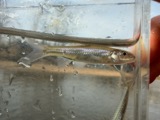 | Notropis buccatus (Cope, 1865) | 1925 | CL & LC Hubbs | Stillwater Creek, 5 mi N of Barnesville |
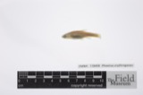 | Phoxinus erythrogaster (Rafinesque, 1820) | 1925 | CL & LC Hubbs | Stillwater Creek, 5 mi N of Barnesville |
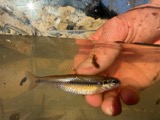 | Pimephales notatus (Rafinesque, 1820) | 1925 | CL & LC Hubbs | Stillwater Creek, 5 mi N of Barnesville |
 | Rhinichthys atratulus (Hermann, 1804) | 1925 | CL & LC Hubbs | Stillwater Creek, 5 mi N of Barnesville |
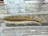 | Semotilus atromaculatus (Mitchill, 1818) | 1925 | CL & LC Hubbs | Stillwater Creek, 5 mi N of Barnesville |
 | Ericymba buccata Cope, 1865 | 1929 | Trautman, M. B. (Milton Bernard) & Walker, W. H. (W. Harrington) | Stillwater River, within Flusing township, near Piedmont, Flushing township |
All 57 specimens within 10 miles, at the Global Biodiversity Information Facility.
Nearest settlements
The eight closest, with where each one stands in the county. Distances are straight-line, computed from the Geographic Names Information System coordinates.
| Map | Place | Distance | Sheets |
|---|---|---|---|
| Loghaven | 0.4 miles | 14 | |
| Hidden Ledges Cottage Area | 0.7 miles | 14 | |
| Goodrich Cottage Area | 0.9 miles | 14 | |
| Hilltop Cottage Area | 0.9 miles | 14 | |
| Holloway | 2.5 miles | 14 | |
| Reynolds Road Cottage Area | 2.6 miles | 14 | |
| Golda | 2.7 miles | 14 | |
| Cabinet | 3.8 miles | 13 |
Elsewhere
Matched on this settlement's Geographic Names Information System number rather than its name, so it cannot be a different place of the same name in another state.
| Wikidata item Q122569852 | The structured record the population and elevation above come from. Public domain (CC0). |
Provenance
This settlement is recorded in the Geographic Names Information System as feature 1048517. The sheet list is computed by point-in-boundary test against the United States Geological Survey's historical topographic inventory. Both are works of the United States government and carry no copyright under 17 U.S.C. 105.
Wildfire. Short, Karen C. 2022. Spatial wildfire occurrence data for the United States, 1992-2020 [FPA_FOD_20221014]. 6th Edition. Fort Collins, CO: Forest Service Research Data Archive. https://doi.org/10.2737/RDS-2013-0009.6 Collected with United States Government funding and usable without additional permissions or fees.
Specimens. Global Biodiversity Information Facility (GBIF), https://www.gbif.org/. Only records licensed CC0 or CC BY are used. Records licensed CC BY-NC are excluded because this site carries advertising. Images are checked individually and any whose licence is non-commercial, no-derivatives or unreadable is refused.