 Block
Block
Bethany, Ohio
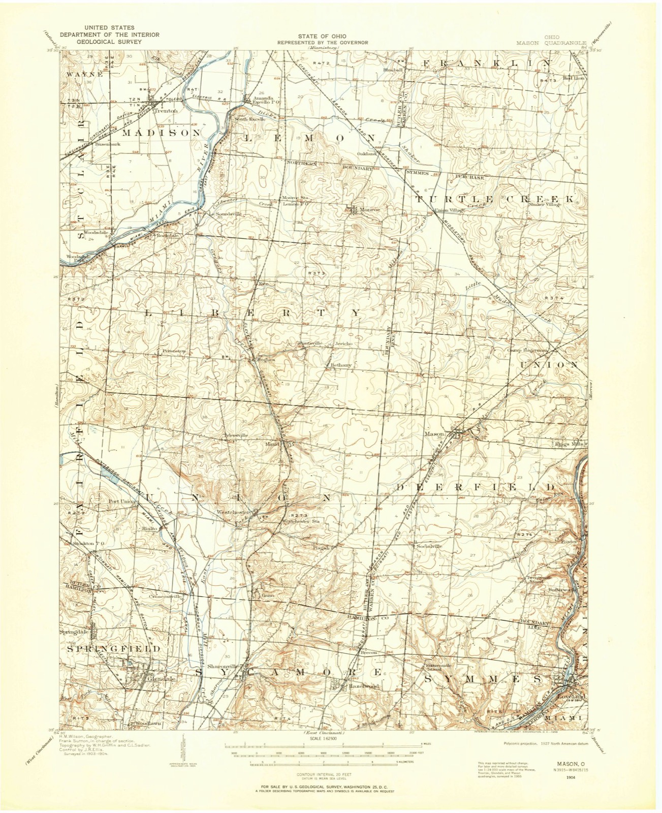
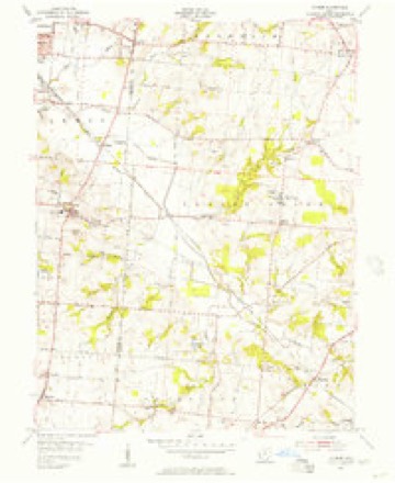
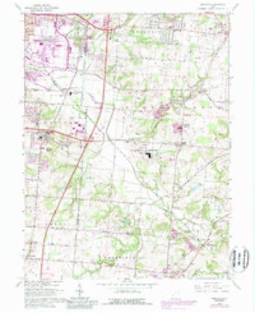
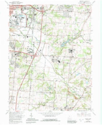
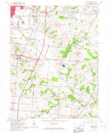
16 topographic sheets cover this place, the earliest surveyed in 1904 and the latest in 1986. It stands in Liberty Township. It lies in ZIP code area 45044. The Survey maps it on the Monroe quadrangle.
Then and now
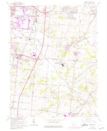
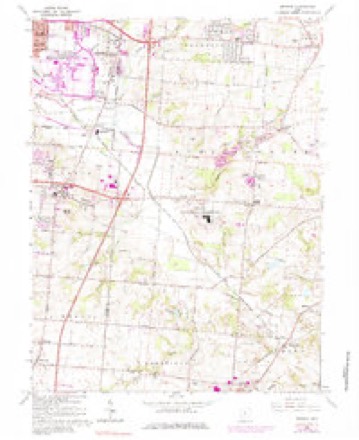
1904 to 1986The same ground, surveyed 82 years apart. Drag the handle to wipe between them. Both sheets are United States Geological Survey originals; neither has been altered.

Topographic sheets covering this place
16 sheetsMatched by testing this settlement's coordinate against the published boundary of every sheet in the United States Geological Survey's historical collection. Each opens the scanned sheet at the Survey.
- 1904 USGS Mason quadrangle1:62500
- 1906 USGS Mason quadrangle1:62500
- 1906 USGS Mason quadrangle1:62500
- 1953 USGS Cincinnati quadrangle1:250000
- 1953 USGS Cincinnati quadrangle1:250000
- 1953 USGS Cincinnati quadrangle1:250000
- 1955 USGS Monroe quadrangle1:24000
- 1957 USGS Cincinnati quadrangle1:250000
- 1965 USGS Monroe quadrangle1:24000
- 1965 USGS Monroe quadrangle1:24000
- 1965 USGS Monroe quadrangle1:24000
- 1965 USGS Monroe quadrangle1:24000
- 1965 USGS Monroe quadrangle1:24000
- 1986 USGS Cincinnati quadrangle1:100000
- 1986 USGS Cincinnati quadrangle1:100000
- 1986 USGS Cincinnati quadrangle1:100000







In the county-history sources
15,567 words on this townshipA History and Biographical Cyclopædia of Butler County, Ohio : with Illustrations and Sketches of Its Representative Men and Pioneers, published 1882 names this settlement in its chapter on Liberty Township. These are the passages that mention it, exactly as the scans read.
Beginning at the southeast corner of section No. 14 of the second township in the second entire range on the south boundary line of the county; thence north to the Great Miami; thence northeastwardly up the Miami to the northern boundary of fractional section No. 10 of the second township in the third or military range; thence east to the eastern boundary of the county; thence south with the eastern boundary of the county to the southeast corner thereof; thence west with the southern boundary of the county to the place of beginning. Two justices.
Passage source: A History and Biographical Cyclopædia of Butler County, Ohio : with Illustrations and Sketches of Its Representative Men and Pioneers, published 1882.
John Morrow was settled on land now owned by David Swearingen, before 1803. His brother, Jeremiah Morrow, was governor of Ohio. John Morrow was the first justice of the peace in Liberty Township, and served in that capacity for eighteen years. He was followed by 'Squire McLean, who held the office twentyfour years, and following him was Silas Williamson, who is, and has been, 'squire for fifteen years. Hach of these three men have been peace-makers in the strict sense of that term.
Passage source: A History and Biographical Cyclopædia of Butler County, Ohio : with Illustrations and Sketches of Its Representative Men and Pioneers, published 1882.
Silas Williamson's grandfather, David Williamson, married Mary Vandyke in 1787, emigrated from Pennsylvania to Kentucky in June, 1797, and from Kentucky to Ohio, settling on Section 14, of this township, in 1798. He had four sons: George, born 1788; John, father of Silas, born 1790; David V., born 1795, and Peter, born in 1801. 'Squire Williamson has also been township clerk, elected in 1865, and held the office many years. He was married to Christiana White in 1843.
Passage source: A History and Biographical Cyclopædia of Butler County, Ohio : with Illustrations and Sketches of Its Representative Men and Pioneers, published 1882.
Machine-read from a century-old scan, so expect the errors a machine makes: misspelled names, dropped words, stray characters.
Read the whole chapter on Liberty Township - it names this place 14 more 14 times.
Specimens collected near this place
12 of 322 shownRegional context, not property-specific evidence. Museums hold 322 specimens collected within 10 miles of Bethany between 1835 and 1975: 291 Animalia, 15 Plantae, 15 Fungi, 1 Unrecorded. 12 distinct Species records are shown. Collected by A. C. Billups, Arden R. Gaufin, B. Frank and others. Each is a physical object with a catalogue number, and each entry opens the museum's record. This is what was collected and kept, not a survey of what lives here - nothing can be concluded from a species being absent.
| Image | Species | Year | Collected by | Where, as recorded |
|---|---|---|---|---|
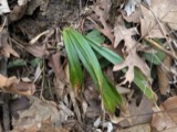 | Carex careyana Torr. ex Dewey | 1835 | Collector unknown | In ditione "Miami" civitatis Ohio. |
| Carex convoluta Mack. | 1835 | Collector unspecified | "Miami" | |
 | Carex gracillima Schwein. | 1835 | B. Frank | In ditione "Miami" civitatis Ohio. |
 | Calidris melanotos (Vieillot, 1819) | 1879 | W. Douglass | Jones Station |
 | Coluber constrictor Linnaeus, 1758 | 1879 | not recorded | Hughes |
 | Diadophis punctatus arnyi Kennicott, 1859 | 1879 | not recorded | Hughes |
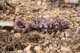 | Lampropeltis triangulum (Lacépède, 1789) | 1879 | not recorded | Hughes |
 | Mimus polyglottos (Linnaeus, 1758) | 1879 | Porter collection, J.B. | LOCNM: Jones |
 | Storeria dekayi (Holbrook, 1839) | 1879 | not recorded | Hughes |
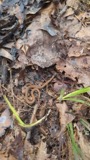 | Storeria occipitomaculata Storer, 1839 | 1879 | not recorded | Hughes |
 | Tringa flavipes (J.F.Gmelin, 1789) | 1879 | Porter collection, J.B. | LOCNM: Jones |
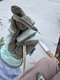 | Tropidoclonion lineatum (Hallowell, 1856) | 1879 | not recorded | Hughes |
All 322 specimens within 10 miles, at the Global Biodiversity Information Facility.
Storms near this place
5 since 2000Regional context, not property-specific evidence. The National Weather Service names Bethany in 5 storm reports between 2000 and 2024: 1 lightning, 1 thunderstorm wind, 1 heavy rain, 1 hail. The reports record 1 death. Each account below is quoted exactly as the forecast office filed it, from the NOAA Storm Events Database, and each date opens the federal record of that event.
| When | Event | Place named | Harm | What the report says |
|---|---|---|---|---|
| July 2000 | Lightning | Bethany | 1 killed | no account filed |
| July 2012 | Thunderstorm Wind | Bethany | $2,000 | Traffic light signals were blown off their wires near the Interstate 75 and Liberty Way interchange due to thunderstorm winds. |
| April 2024 | Flood | Bethany | - | High water was reported on exit ramps along Interstate 75. |
| July 2013 | Heavy Rain | Bethany | - | A small creek was out of its banks and encroaching on back yards due to heavy rainfall. |
| April 2020 | Hail | Bethany | - | no account filed |
Nearest settlements
The eight closest, with where each one stands in the county. Distances are straight-line, computed from the Geographic Names Information System coordinates.
| Map | Place | Distance | Sheets |
|---|---|---|---|
| Taylor Village | 0.4 miles | 16 | |
| Huntsville | 0.7 miles | 16 | |
| Evergreen Farm Estates | 0.9 miles | 16 | |
| Liberty Trails | 1.1 miles | 16 | |
| Hunting Creek Estates | 1.3 miles | 16 | |
| Wetherington | 1.5 miles | 15 | |
| Dutchland Woods | 1.5 miles | 16 | |
| Hughes | 1.8 miles | 16 |
Provenance
This settlement is recorded in the Geographic Names Information System as feature 1064425. The sheet list is computed by point-in-boundary test against the United States Geological Survey's historical topographic inventory. Both are works of the United States government and carry no copyright under 17 U.S.C. 105.
Specimens. Global Biodiversity Information Facility (GBIF), https://www.gbif.org/. Only records licensed CC0 or CC BY are used. Records licensed CC BY-NC are excluded because this site carries advertising. Images are checked individually and any whose licence is non-commercial, no-derivatives or unreadable is refused.
Storms. NOAA National Centers for Environmental Information, Storm Events Database https://www.ncei.noaa.gov/stormevents/ A work of the United States government, no copyright under 17 U.S.C. 105. Narratives are quoted verbatim from the National Weather Service report and are not edited or summarised.