97 topographic sheets and 29 fire insurance
atlases across 6 places.
Research this county
This curated hub for Butler County, Ohio brings together the page's documented record links, visible map or image evidence where published, and routes to related local records.
Use the page's provenance and linked records to distinguish the source material from the site's navigation and summaries.
How should I cite it?
Open the original record, preserve its repository and identifier, then use the citation tool for this page as a path back to the source.
Where should I go next?
Follow the county or state hub for related places and records, then use the guide for a source-aware research sequence.
From the record
“At a mass-meeting of the citizens of Hamilton, the undersigned were appointed a committee to invite every man in Butler County to meet in Hamilton, on Wednesday, April 24, 1861, to take counsel together, and adopt such measures as may be deemed advisable in this alarming crisis of our country. Armed rebels have stolen the property of the general government, have attacked and battered down one of its strong forts, and taken a gallant garrison prisoners, have trampled and trailed our glorious flag in the dust, and now, in the pride of 'their success and madness of their treason, are making preparations to capture and destroy the Capital, at Washington, and to utterly overthrow and subvert our government.”
Men Of Butler - Centennial History of Butler County, Ohio (1905). Machine-read text.
63 National Register listings, of which 3 are National Historic Landmarks · 68 businesses named in the fire insurance atlases from 1885 to 1924 · the 1905 county history tells 4 stories and names 84 people · people the book names include Biu I. Ding Associations (Middletown City, 1905) · St. Charles (Reily Township, 1905) (machine-read).
Ohio within the United StatesButler County within Ohio
Explore by year
What the record shows
6 places in this county were surveyed for fire insurance: Middletown, Hamilton, Oxford, Coke Otto, Seven Mile, Trenton, between 1885 and 1950.
29 fire insurance atlas(es) survive for the county. Topographic coverage is national; fire insurance survey reached only incorporated places with something worth insuring.
2,279 topographic sheet readings cover the county's settlements.
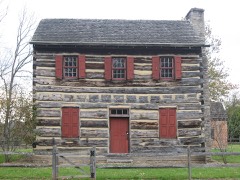
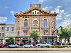
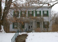
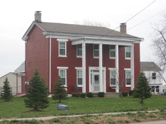
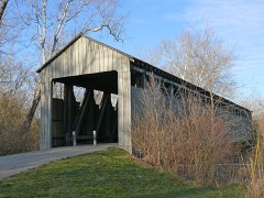
63 properties here are on the National Register of Historic Places, including 1 covered bridge, 1 historic district, 38 houses and farms.
22 of the 63 listings were added during the 1970s.
The Geographic Names Information System records 156 populated places in this county; 0 are covered by at least one topographic sheet.
4 public-domain county histories, 1879 to 1905, supply 924,238 words of narrative reproduced here in full.
What happened here
4 accounts
A captivity, a drowning, a famine, a man
scalped clearing his lot in 1789. These are passages from Centennial History of Butler County, Ohio, written
while people who remembered the events were still alive, and each one
opens the section it comes from.
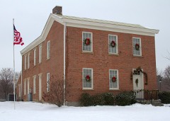
1905, Hanover Township
Encouragement To Enlist
To every able-bodied man, l'rom the age of eighteen to forty-five years, who wishes to enlist in defense of the honor and independence of their country for the term of live wars, will be paid; and whenever be shall have served the -aid term, or obtained an honorable discharge stating the faithful performance of Ids duty while in service, he shall be paid three months' extra pay, and and in case he should be killed in action, or die in the service.
At a mass-meeting of the citizens of Hamilton, the undersigned were appointed a committee to invite every man in Butler County to meet in Hamilton, on Wednesday, April 24, 1861, to take counsel together, and adopt such measures as may be deemed advisable in this alarming crisis of our country. Armed rebels have stolen the property of the general government, have attacked and battered down one of its strong forts, and taken a gallant garrison prisoners, have trampled and trailed our glorious flag in the dust, and now, in the pride of their success and madness of their treason, are making preparations to capture and destroy the Capital, at Washington, and to utterly overthrow and subvert our government.
To every able-bodied man, from the age of eighteen to forty-five years, who wishes to enlist in defense of the honor and independence of their country for the term of five years, will be paid; and whenever he shall have served the said term, or obtained an honorable discharge stating the faithful performance of his duty while in service, he shall be paid three months' extra pay, and and in case he should be killed in action, or die in the service, his heirs and representatives will be entitled to the said three months' pay and one hundred and sixty acres of land, to be designated, surveyed, and laid off at the public expense.
At a mass-meeting of the citizens of Hamilton, the undersigned were appointed a committee to invite every man in Butler County to meet in Hamilton, on Wednesday, April 24, 1861, to take counsel together, and adopt such measures as may be deemed advisable in this alarming crisis of our country. Armed rebels have stolen the property of the general government, have attacked and battered down one of its strong forts, and taken a gallant garrison prisoners, have trampled and trailed our glorious flag in the dust, and now, in the pride of 'their success and madness of their treason, are making preparations to capture and destroy the Capital, at Washington, and to utterly overthrow and subvert our government.
Taken for the Office of War Information and
the Farm Security Administration, who photographed the country between
1935 and 1944. Works of United States government photographers, with no
known restriction on use. Each opens its catalogue record.
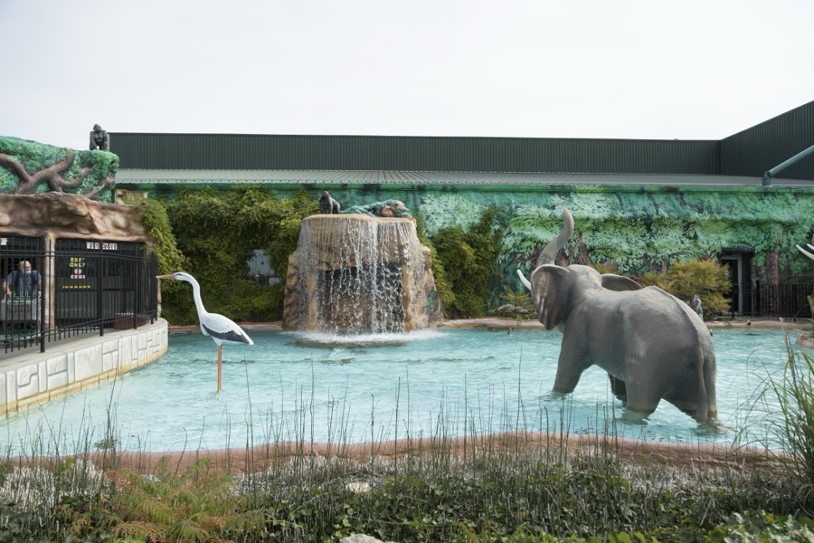
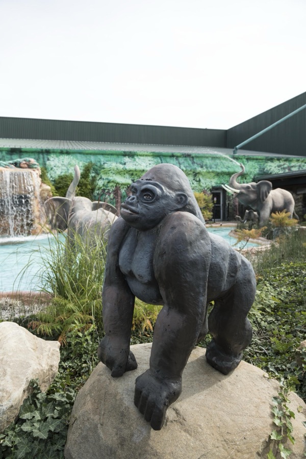
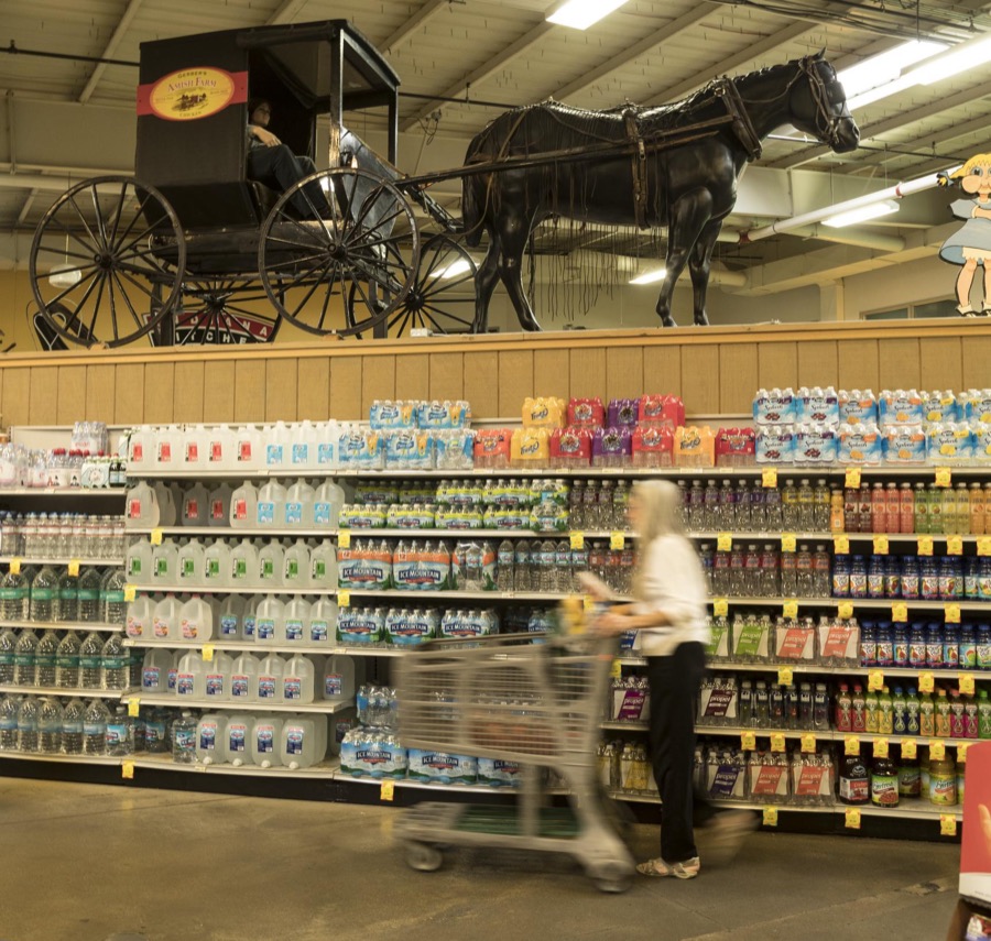
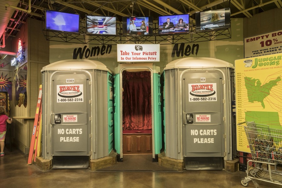
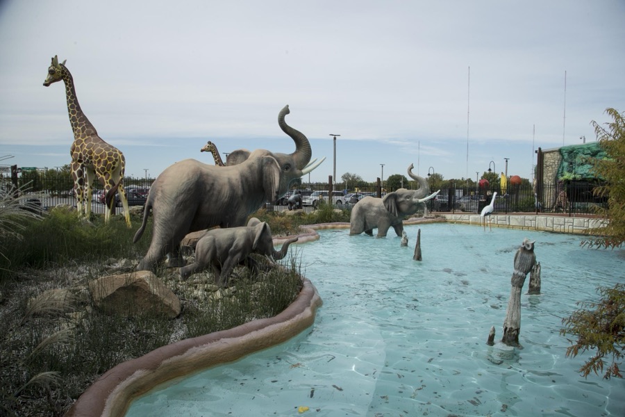
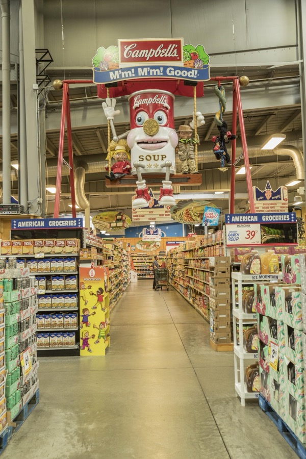
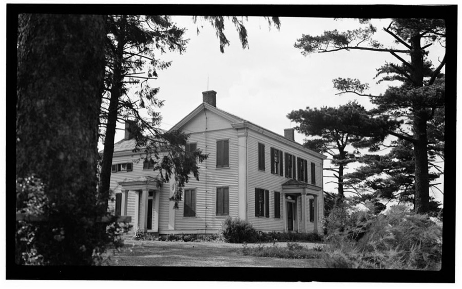
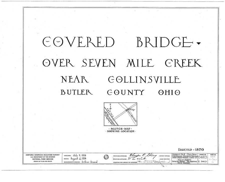
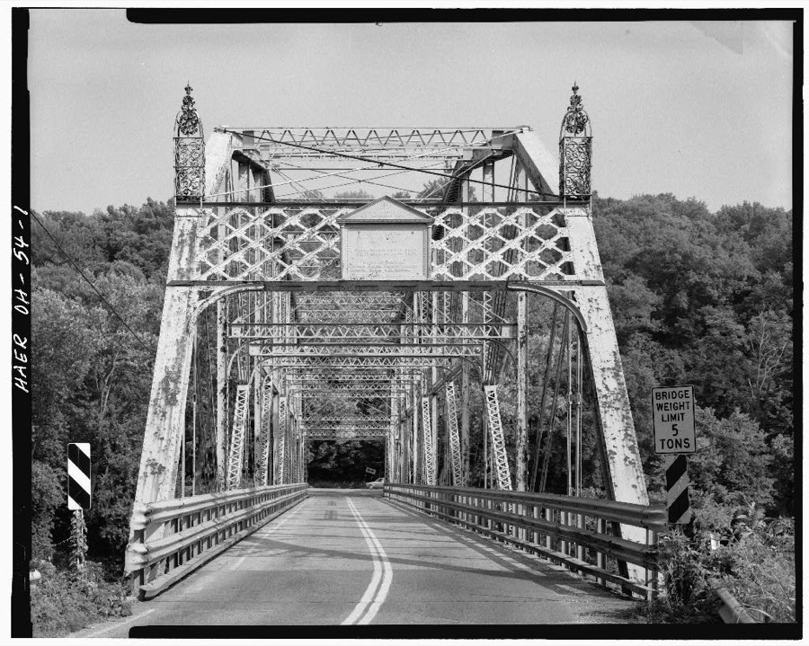
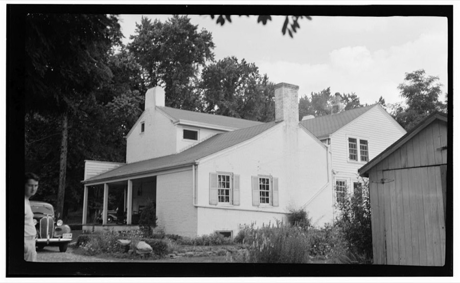
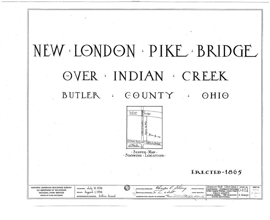
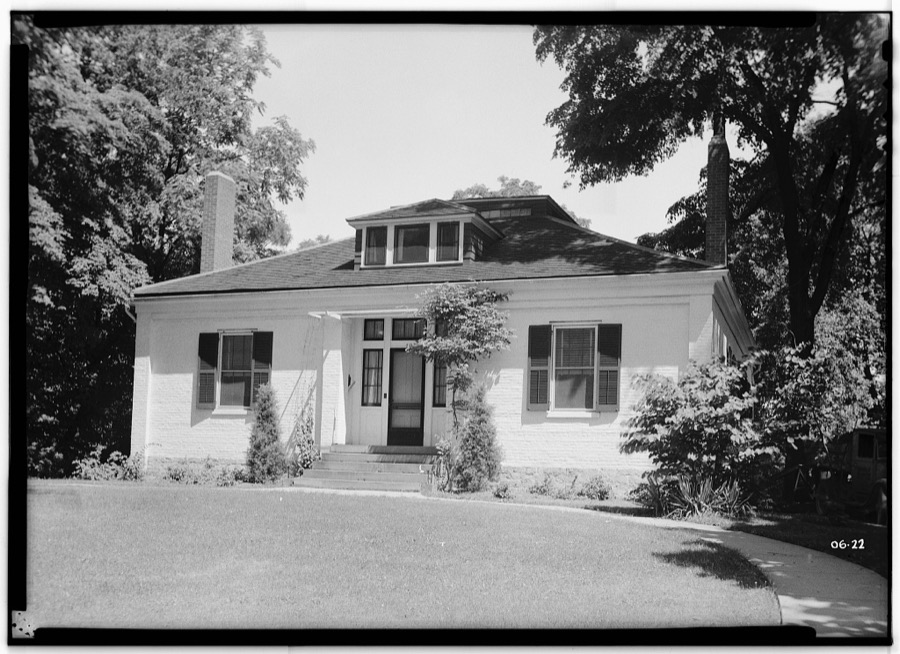
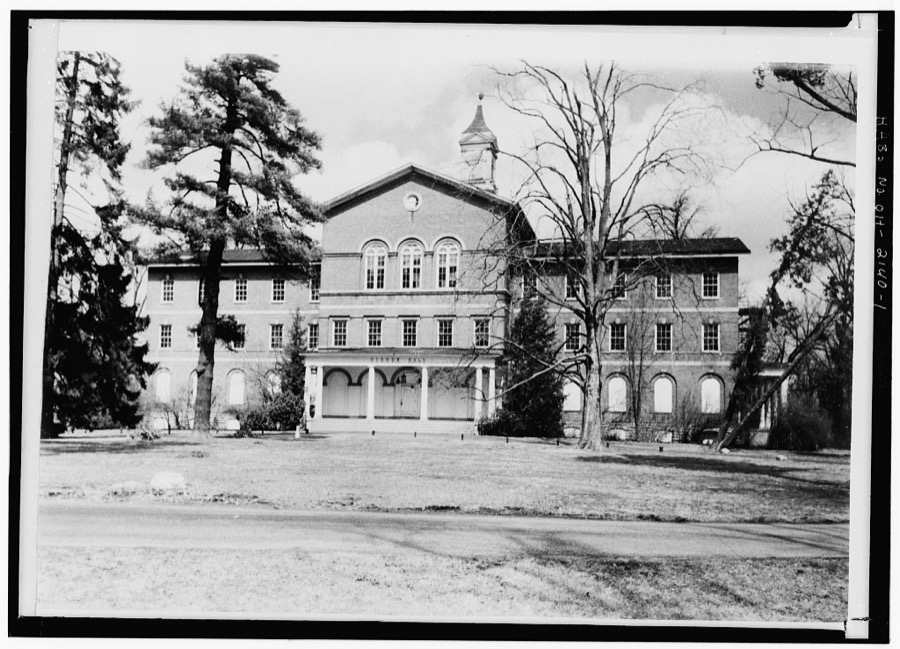
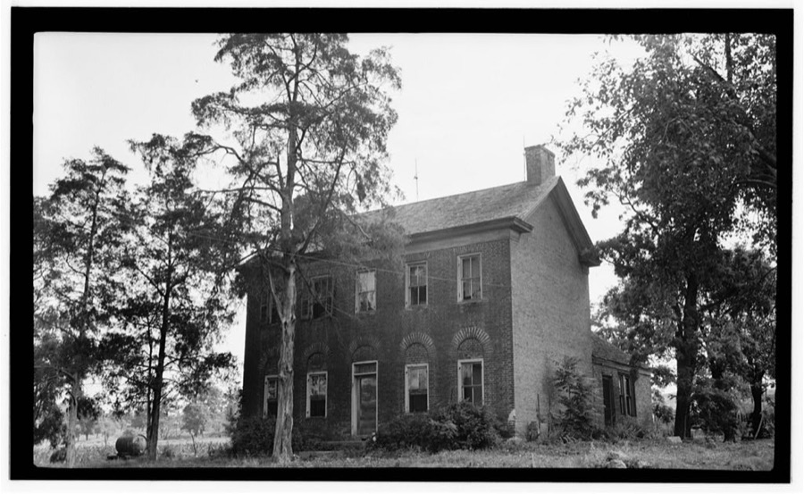
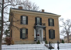
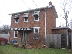
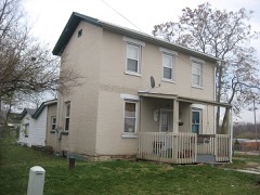
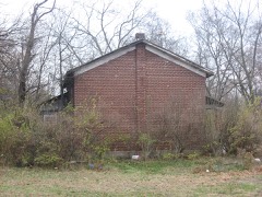
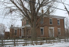
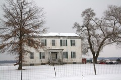
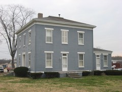
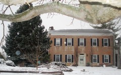
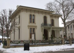
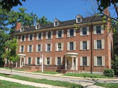
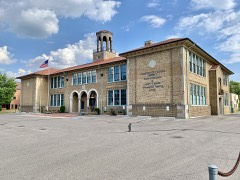
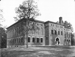
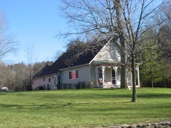
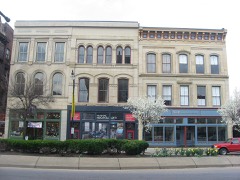
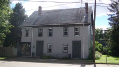
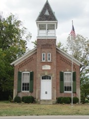
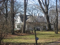
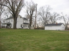
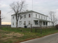
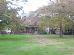
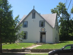
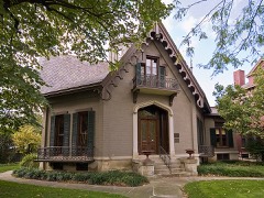
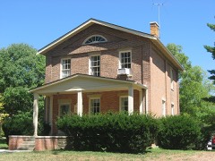
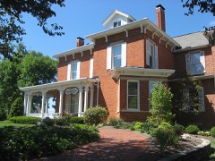
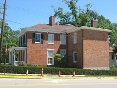
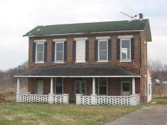
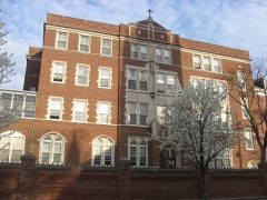
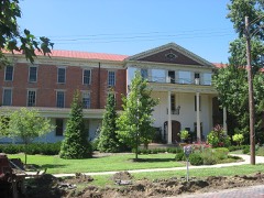
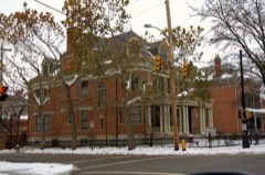
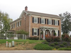
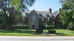
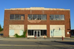
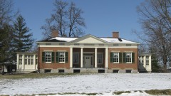
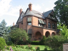
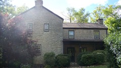
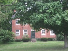
This is neither a zoo nor a water park, but it's Jungle Jim's International Market in the Cincinnati suburb of Fairfield, Ohio Highsmith, Carol M, 2016. Library of CongressThis is neither a zoo nor a water park, but it's Jungle Jim's International Market in the Cincinnati suburb of Fairfield, Ohio Highsmith, Carol M, 2016. Library of CongressA full-sized model Amish horse and buggy above supermarket food shelves in the Jungle Jim's International Market in the Cincinnati suburb of Fairfield, Ohio Highsmith, Carol M, 2016. Library of CongressModel (not functioning) Porta Potties, or movable toilets, designate the entrance to the real restrooms at Jungle Jim's International Market in the Cincinnati suburb of Fairfield, Ohio Highsmith, Carol M, 2016. Library of CongressThis is neither a zoo nor a water park, but it's Jungle Jim's International Market in the Cincinnati suburb of Fairfield, Ohio Highsmith, Carol M, 2016. Library of CongressEven the grocery aisles have personality at Jungle Jim's International Market in the Cincinnati suburb of Fairfield, Ohio Highsmith, Carol M, 2016. Library of CongressHarkrader House, Monroe, Butler County, OH Unattributed, . Library of CongressCovered Bridge, Spanning Seven Mile Creek, Collinsville, Butler County, OH Unattributed, . Library of CongressOld Colerain Pennsylvania Through Truss Bridge, Spanning Great Miami River at County Route 463, Ross, Butler County, OH Unattributed, . Library of Congress"Guest House", 300 East High Street, Oxford, Butler County, OH Unattributed, . Library of Congress"Blue Shutters" Residence, Route 25, Olde West Chester, Butler County, OH Unattributed, . Library of CongressNew London Pike Covered Bridge, Spanning Indian Creek, Hamilton, Butler County, OH Unattributed, . Library of CongressPresbyterian Parsonage, East High Street, Oxford, Butler County, OH Unattributed, . Library of CongressOxford Female College, Fisher Hall, Miami University Campus, Oxford, Butler County, OH Unattributed, . Library of CongressCharles Krebs Place, South of Morning Sun, State Route 224, Darrtown, Butler County, OH Unattributed, . Library of Congress
Places on the National Register
63
Every property in this county listed on the
National Register of Historic Places, with the year it was listed and the
federal nomination document.
Butler County holds 1 covered bridges on
the National Register, more than any other property type here. Each is a listed
structure with a federal nomination on file.
Drawn when these were printed as
single large sheets: the town seen from the air, and the county
divided into its farms with every owner named. Each opens the
original at the Library of Congress.
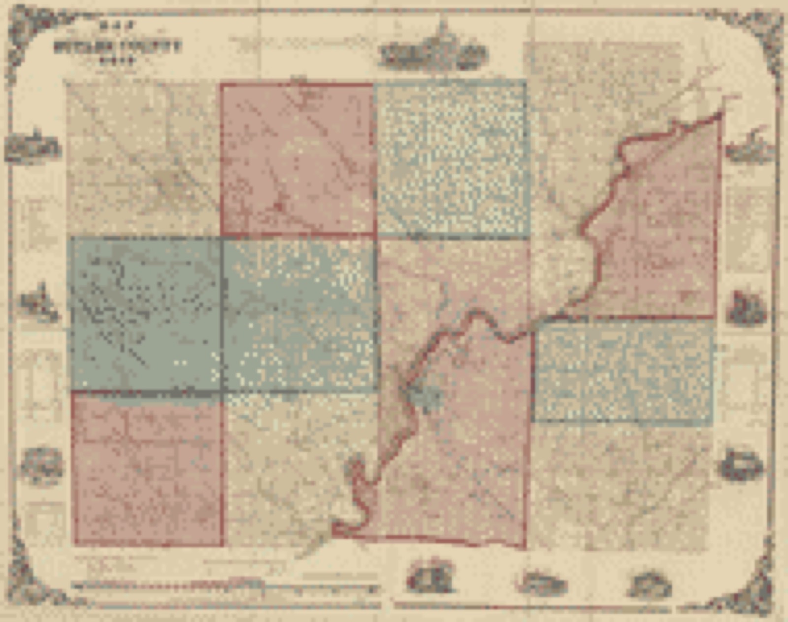
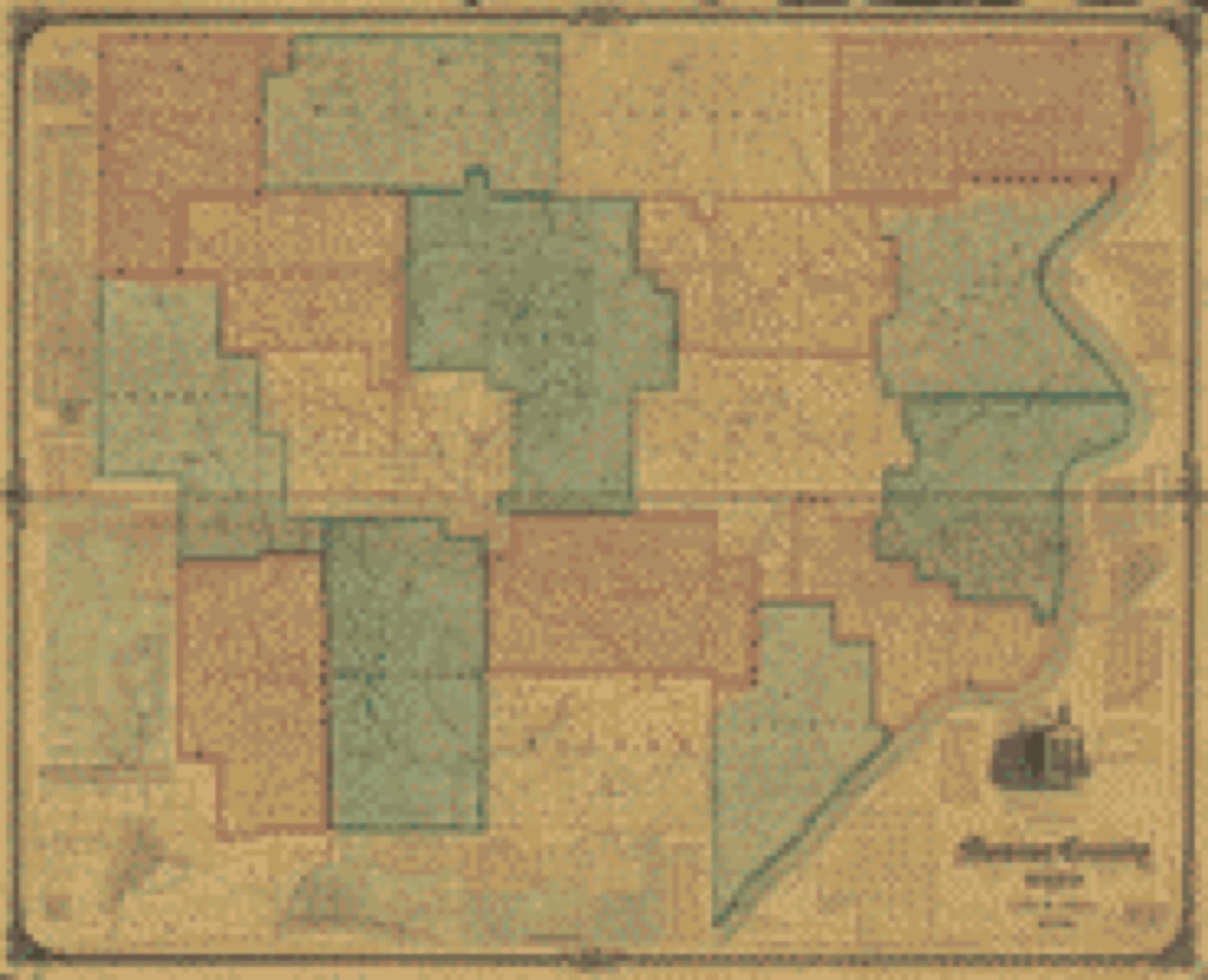
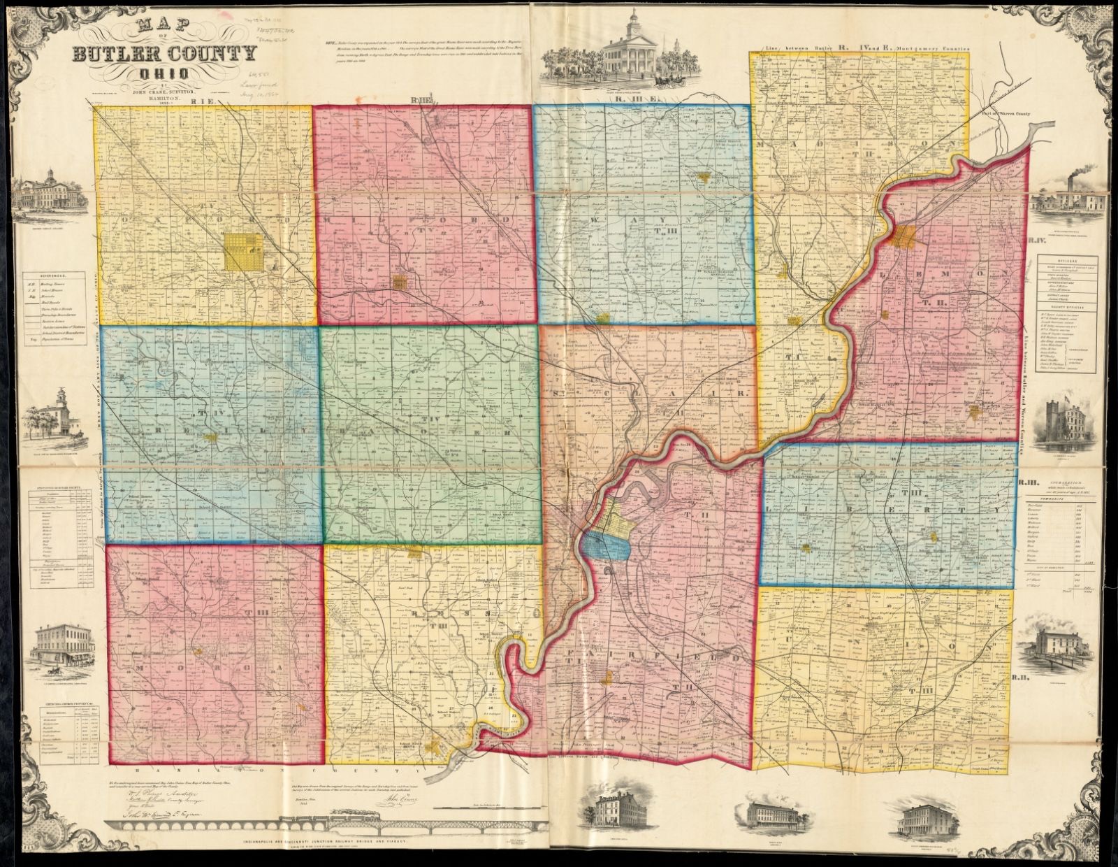
Bird's-eye view (1899) - Woodsfield, Monroe County, Ohio, 1899. Library of Congress.Land ownership map (1855) - Map of Butler County, Ohio. Library of Congress.Land ownership map (1848) - A map of Fairfield County, Ohio. Library of Congress.Land ownership map (1889) - New map of Fairfield County, Ohio. Library of Congress.Land ownership map (1835) - Hamilton County, Ohio : from actual survey. Library of Congress.Land ownership map (1847) - Map of Hamilton County, Ohio. Library of Congress.Land ownership map (1856) - Map of Hamilton County, Ohio : exhibiting the various divisions and sub divisions of land with the name of the owners & number of acres in each tract together with the roads, canals, streams, towns &c. throughout the county. Library of Congress.Land ownership map (1884) - Map of Hamilton County, Ohio / by Geo. Moessinger & Fred Bertsch ; compiled and executed from official records surveys and conveyances up to the date of completion. Library of Congress.Land ownership map (1869) - Map of Monroe County, Ohio. Library of Congress.Land ownership map (1860) - Topographical map of Ross County, Ohio. Library of Congress.
Photographs from libraries nationwide
8 of 25 shown
Selected from the Digital Public Library
of America's 25 image records catalogued for this county. Every
one shown here carries a public-domain status or a licence that permits
reuse on a site that carries advertising; non-commercial, share-alike
and restricted images are excluded. The selection is spread across the
county's towns (at most eight per town), so no single institution's
bulk upload crowds out the rest. Each opens the holding library's
record, and
the complete set at the
Digital Public Library of America is one click away.
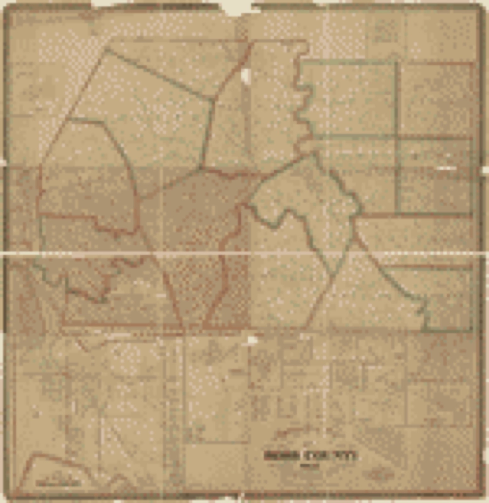
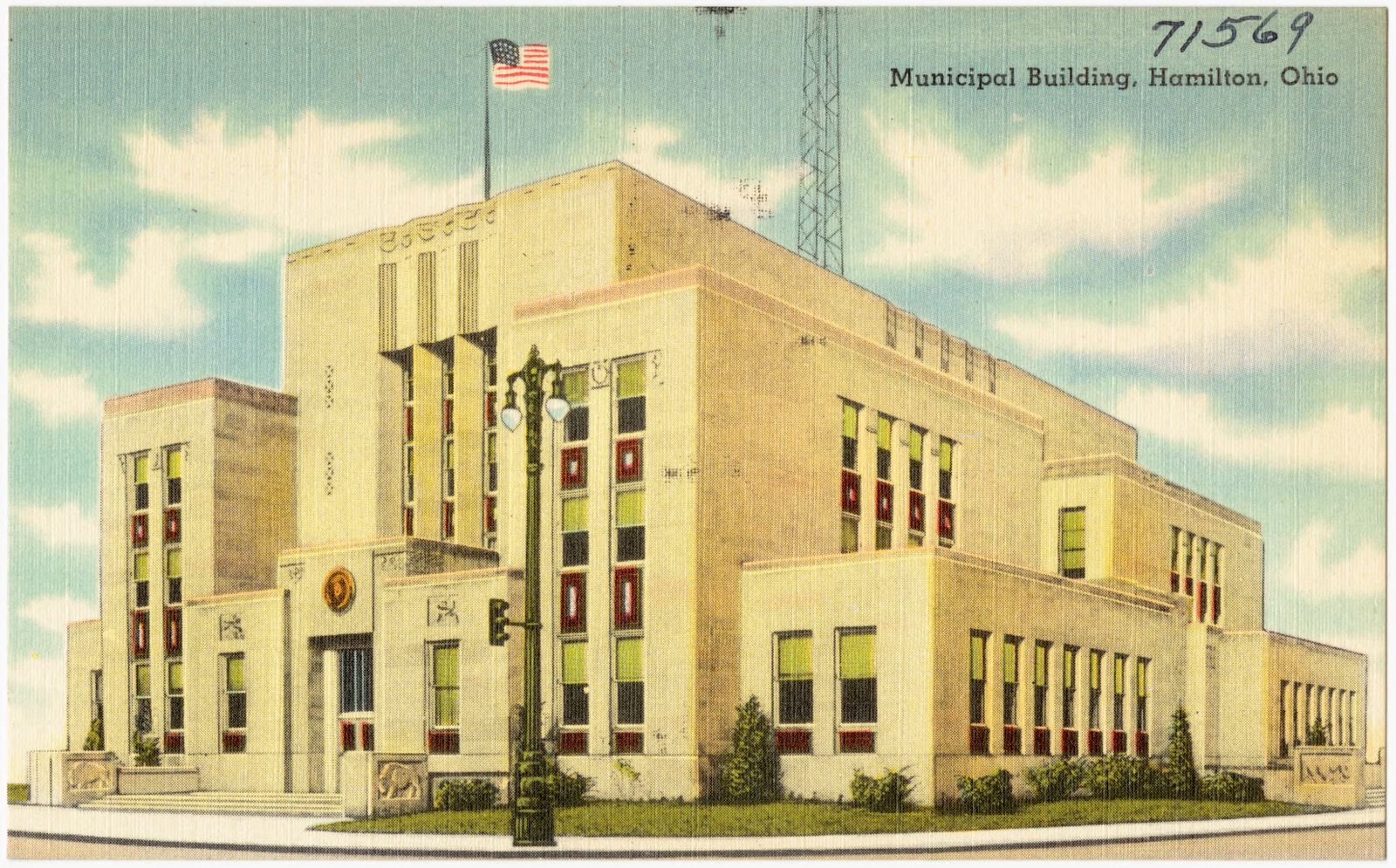
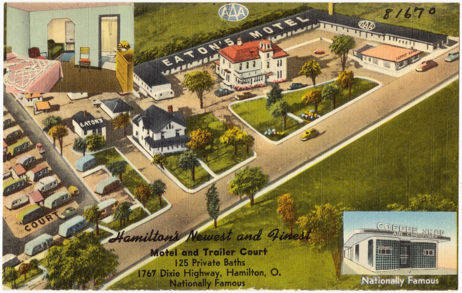
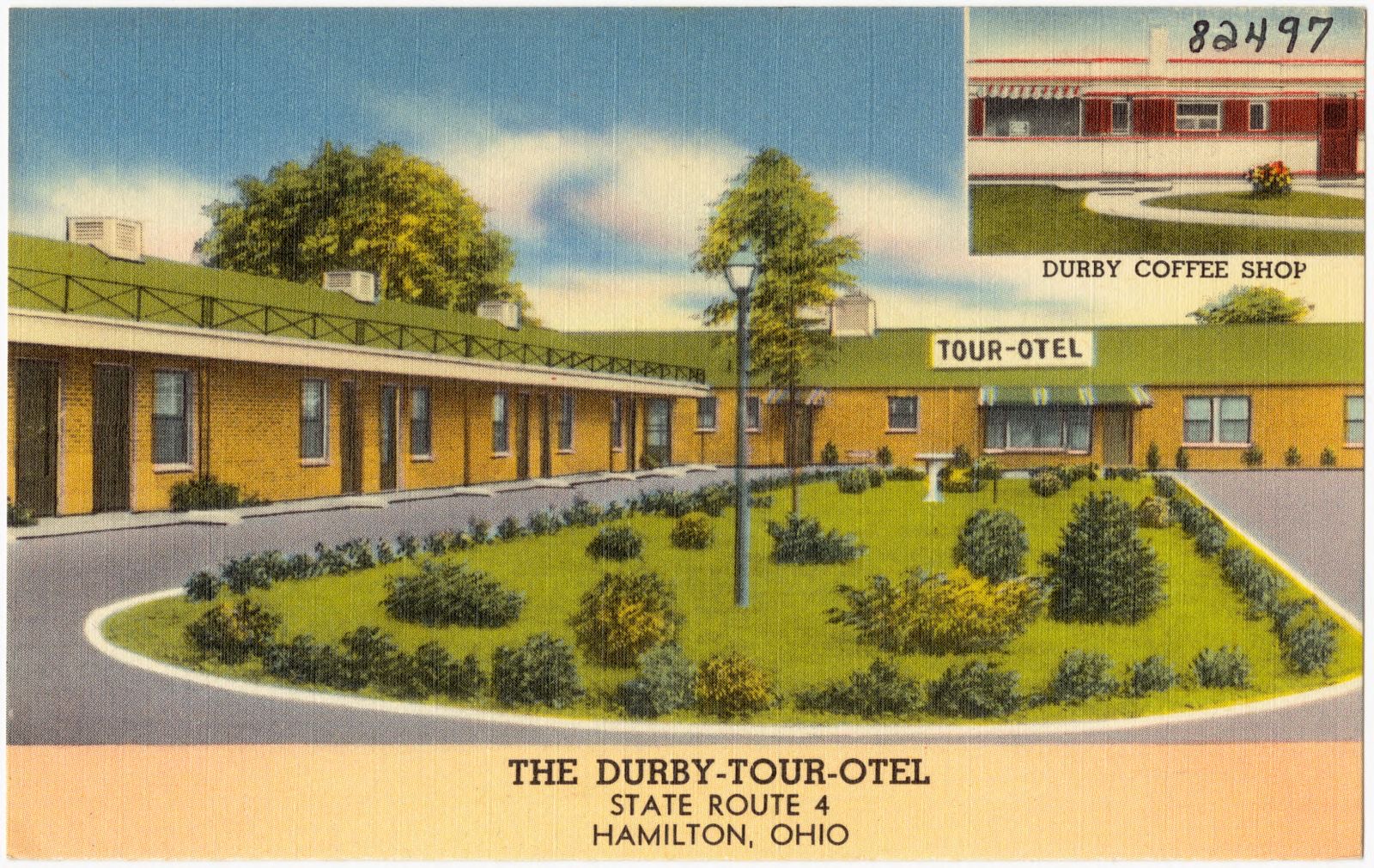
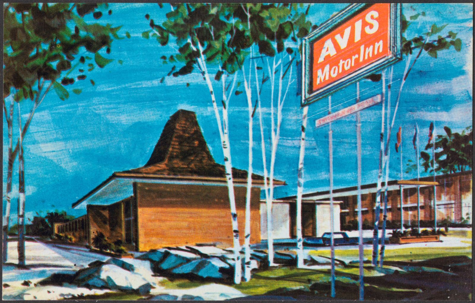
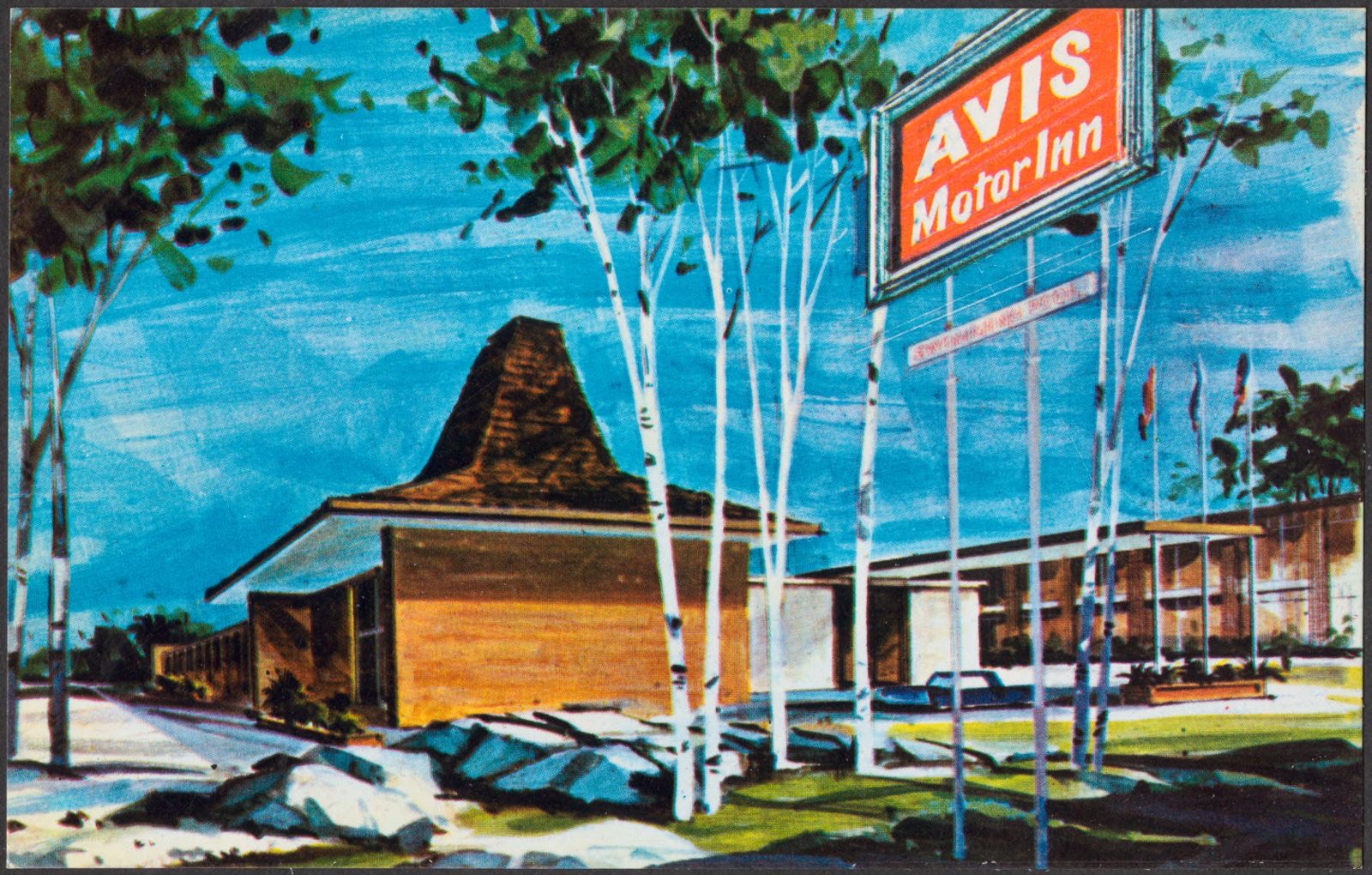
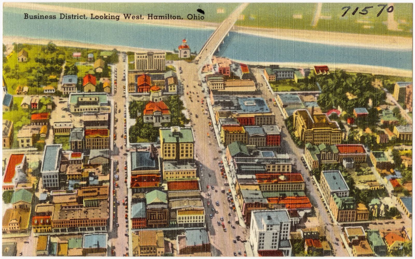
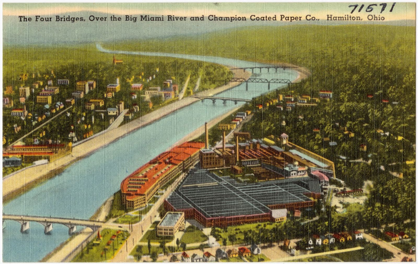
Municipal building, Hamilton, Ohio. Boston Public Library, via the Digital Public Library of America.Eaton's Motel, Hamilton's newest and finest motel and trailer court. Boston Public Library, via the Digital Public Library of America.The Durby-Tour-Otel, State Route 4, Hamilton, Ohio. Boston Public Library, via the Digital Public Library of America.Avis Motor Inn, operated by Sheraton, Interstate 75 at Cincinnati-Dayton Road, Cincinnati-North (West Chester), Ohio. Boston Public Library, via the Digital Public Library of America.Avis Motor Inn, operated by Sheraton, Interstate 75 at Cincinnati-Dayton Road, Cincinnati-North (West Chester), Ohio. Boston Public Library, via the Digital Public Library of America.Business District, looking west, Hamilton, Ohio. Boston Public Library, via the Digital Public Library of America.The four bridges, over Big Miami River and Champion Coated Paper Co., Hamilton, Ohio. Boston Public Library, via the Digital Public Library of America.Map of Butler County, Ohio. Crane, John, 1796-1864, Boston Public Library, via the Digital Public Library of America.
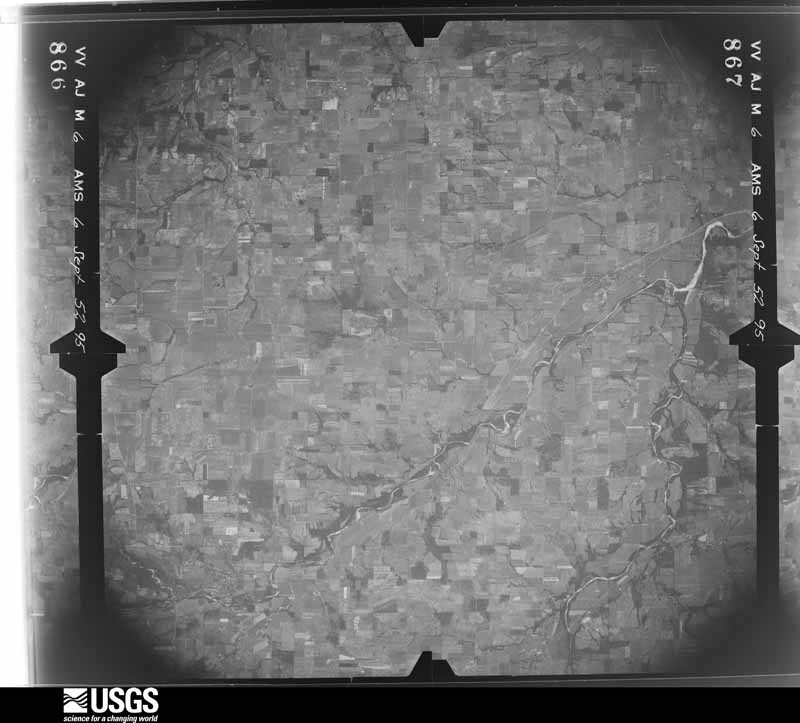
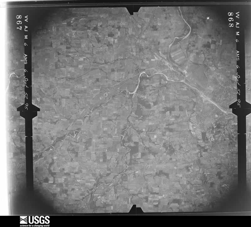
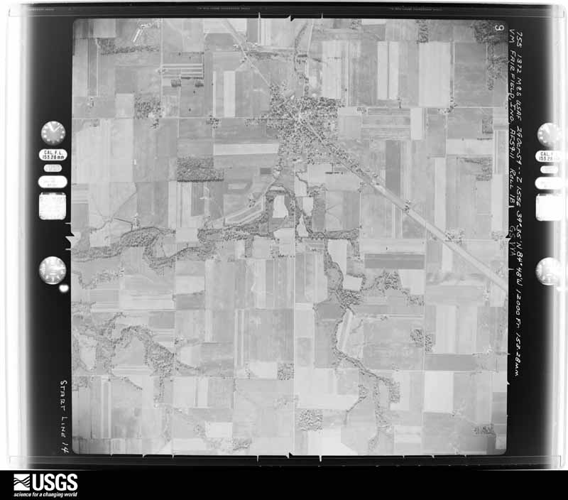
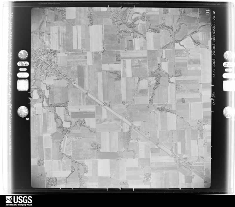
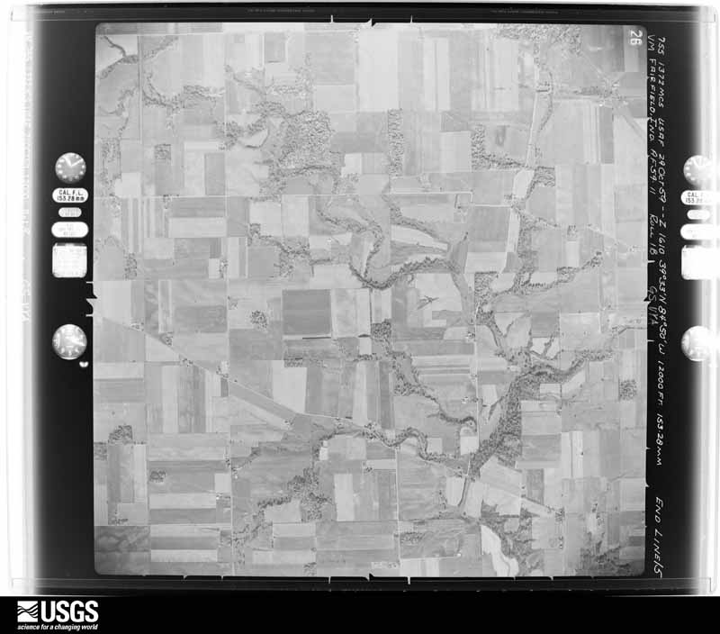
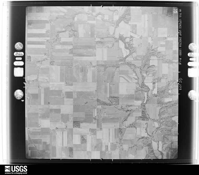
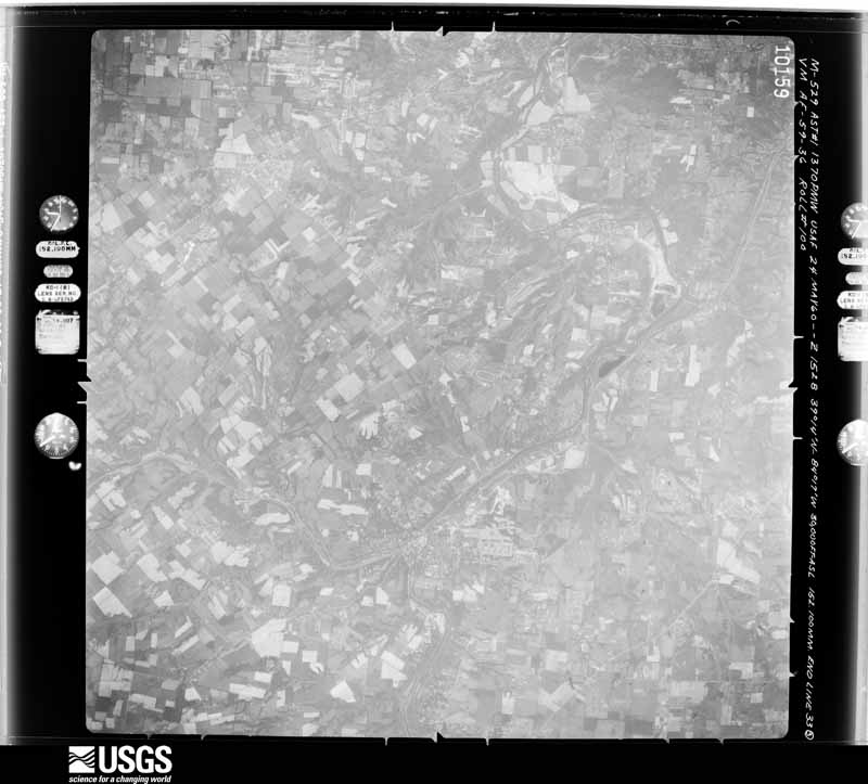
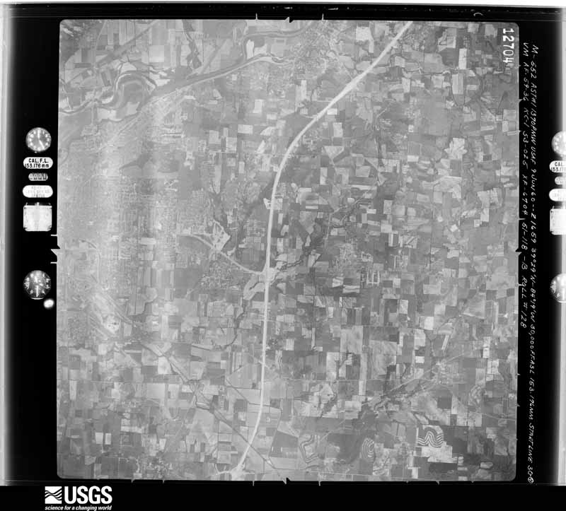
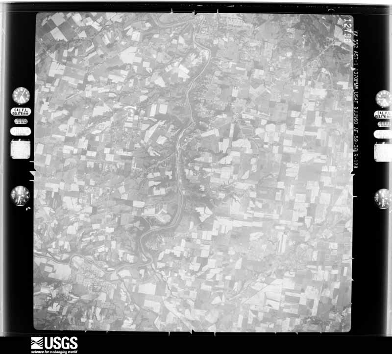
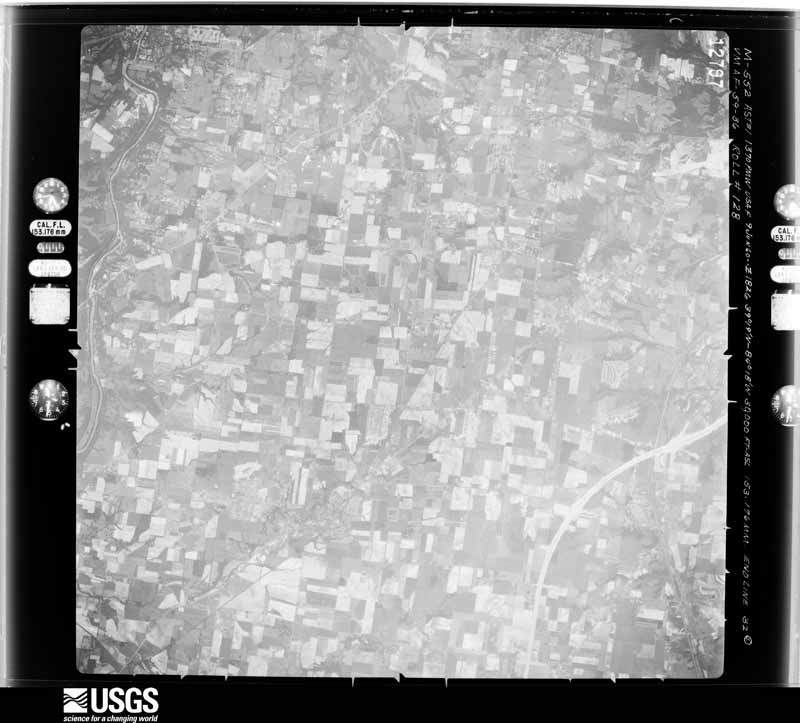
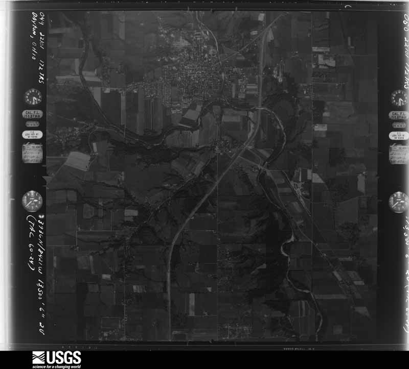
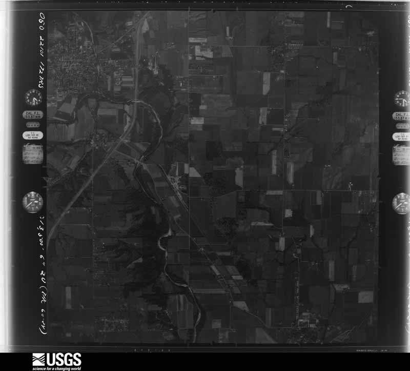
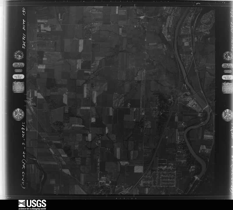
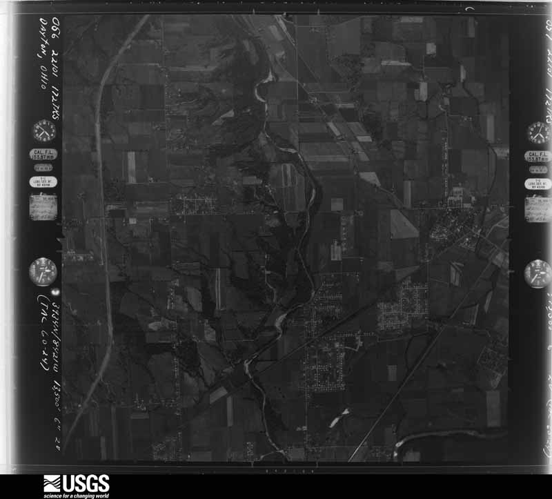
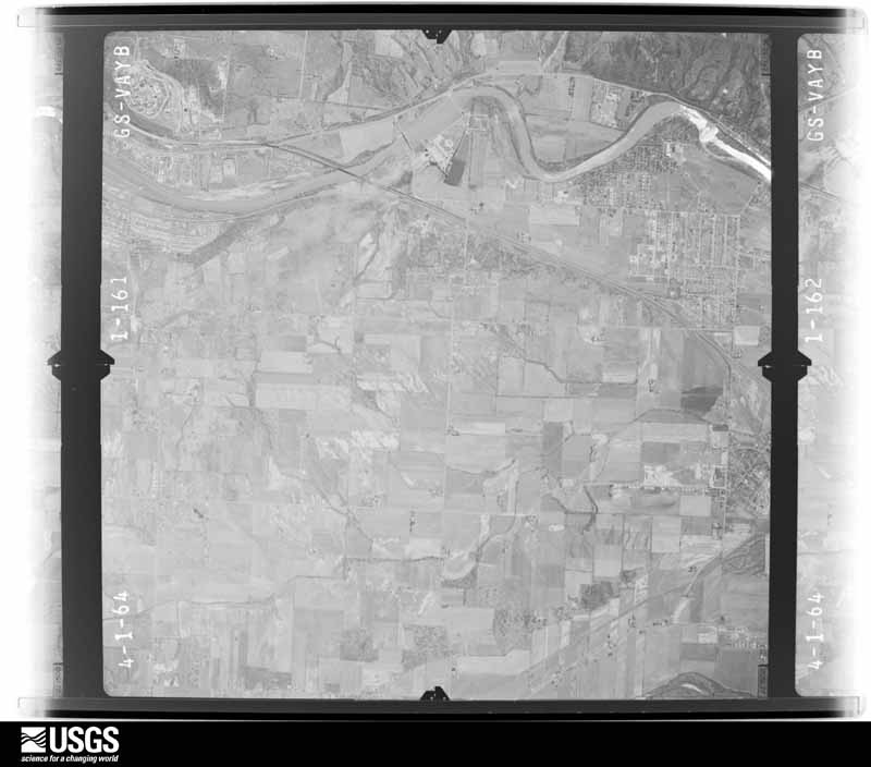
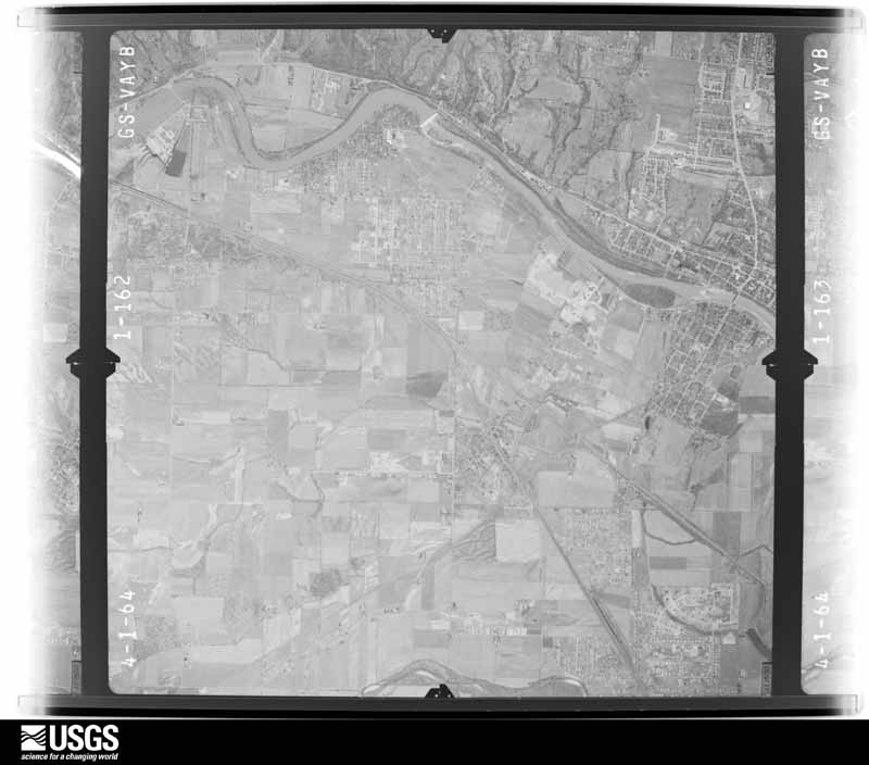
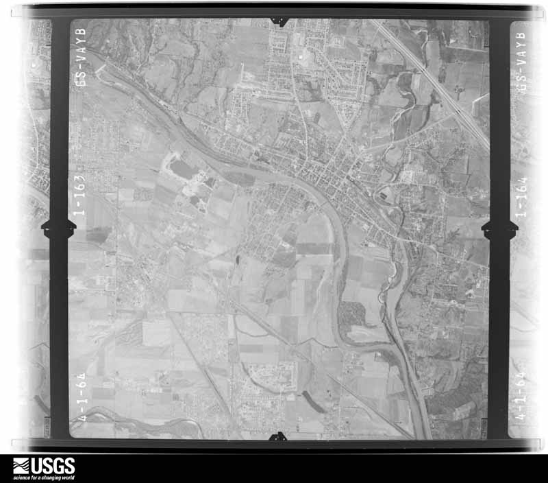
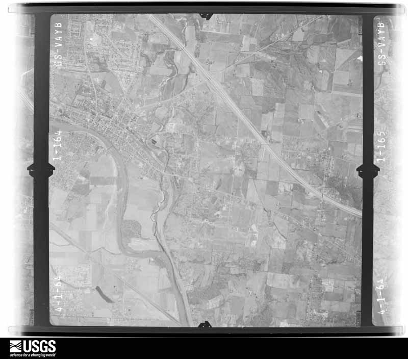
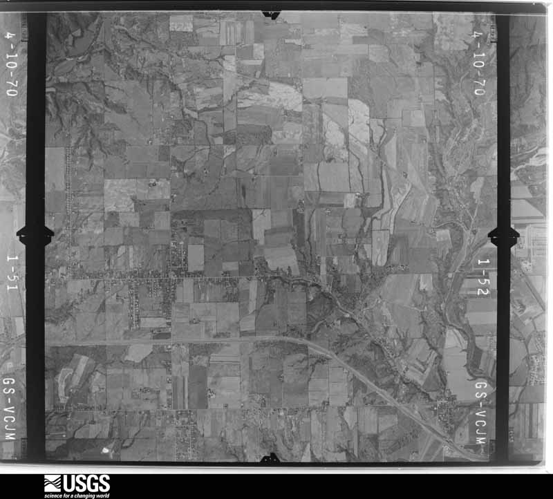
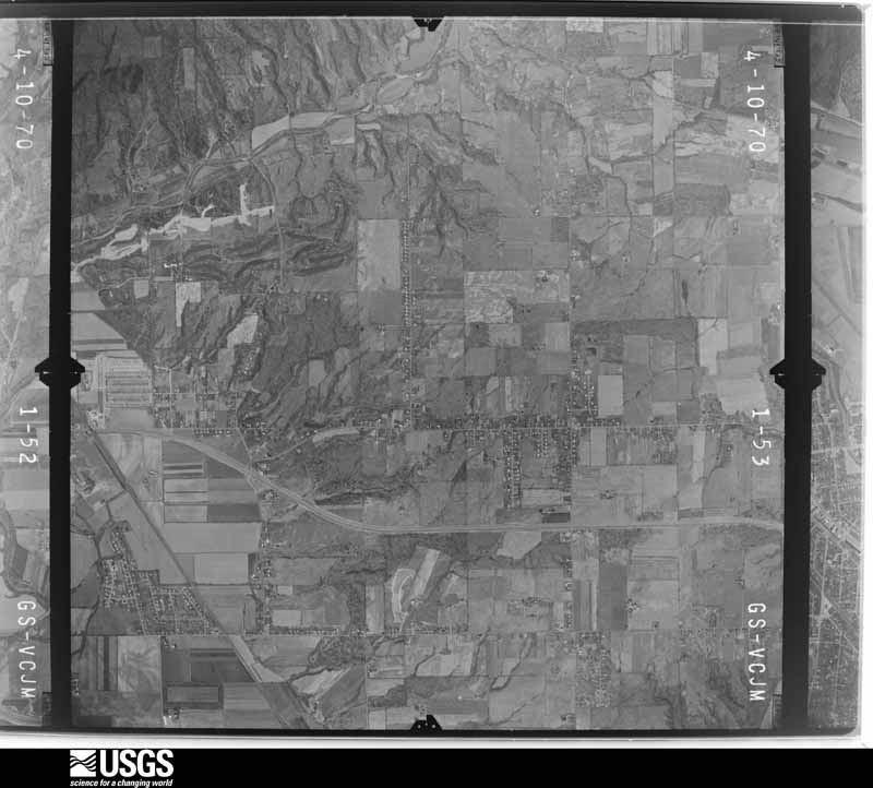
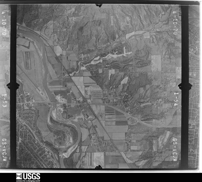
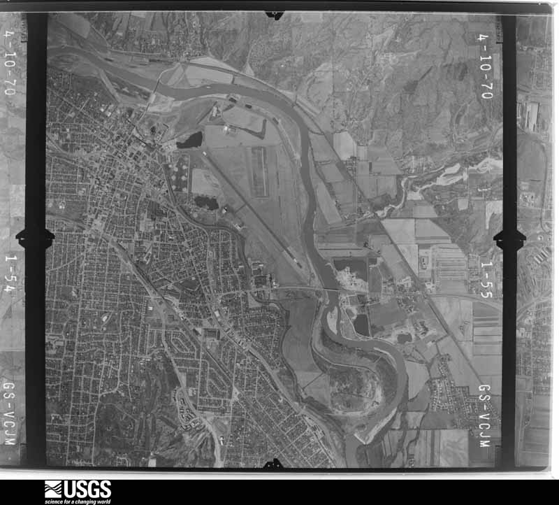
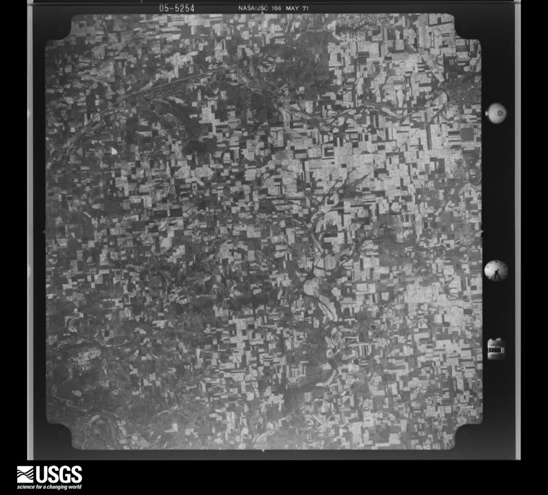
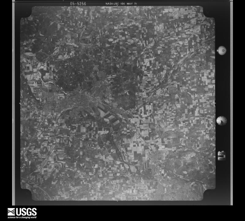
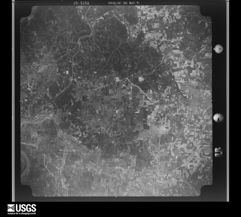
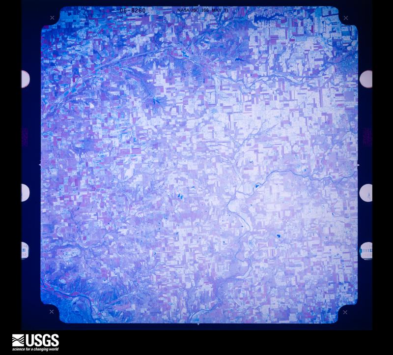
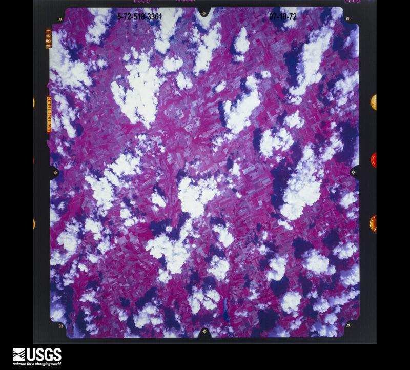
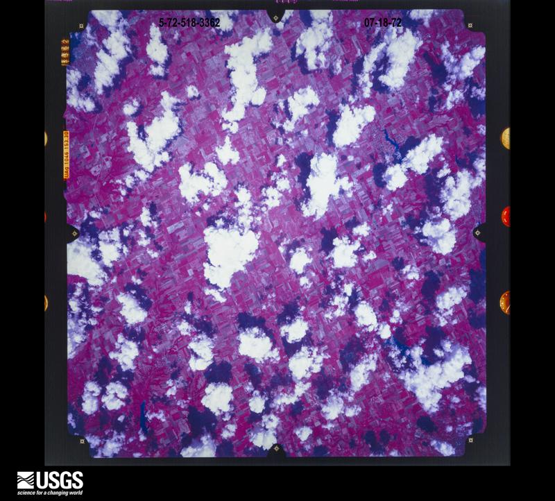
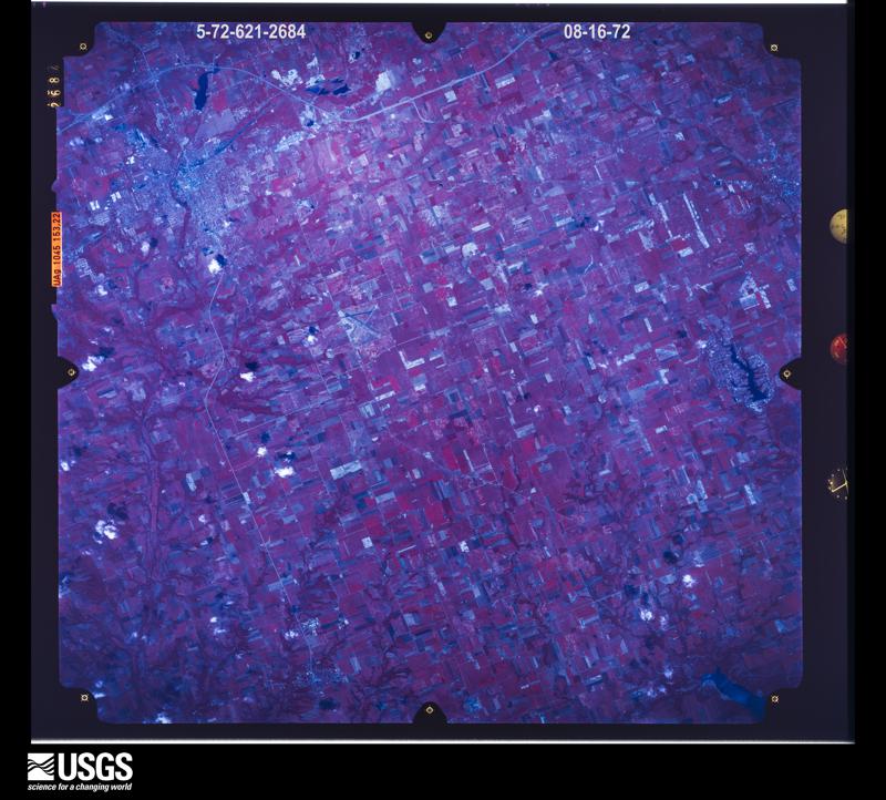
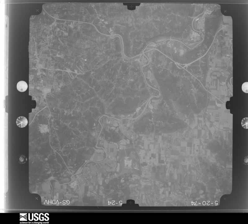
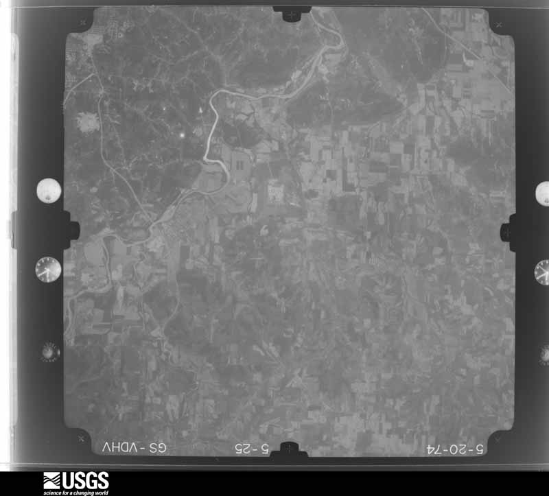
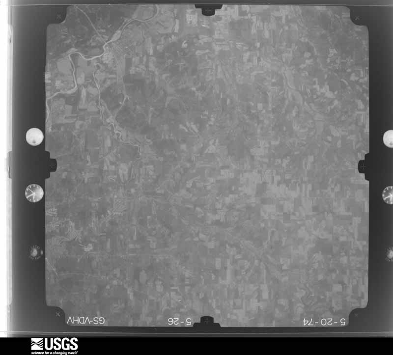
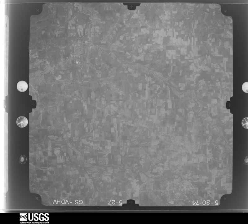
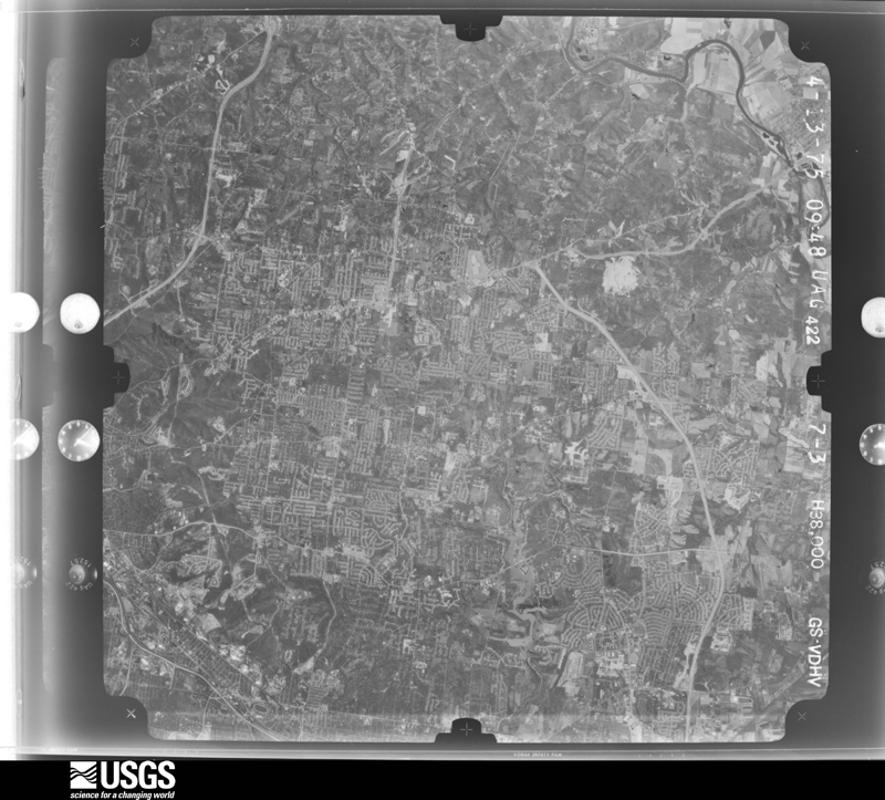
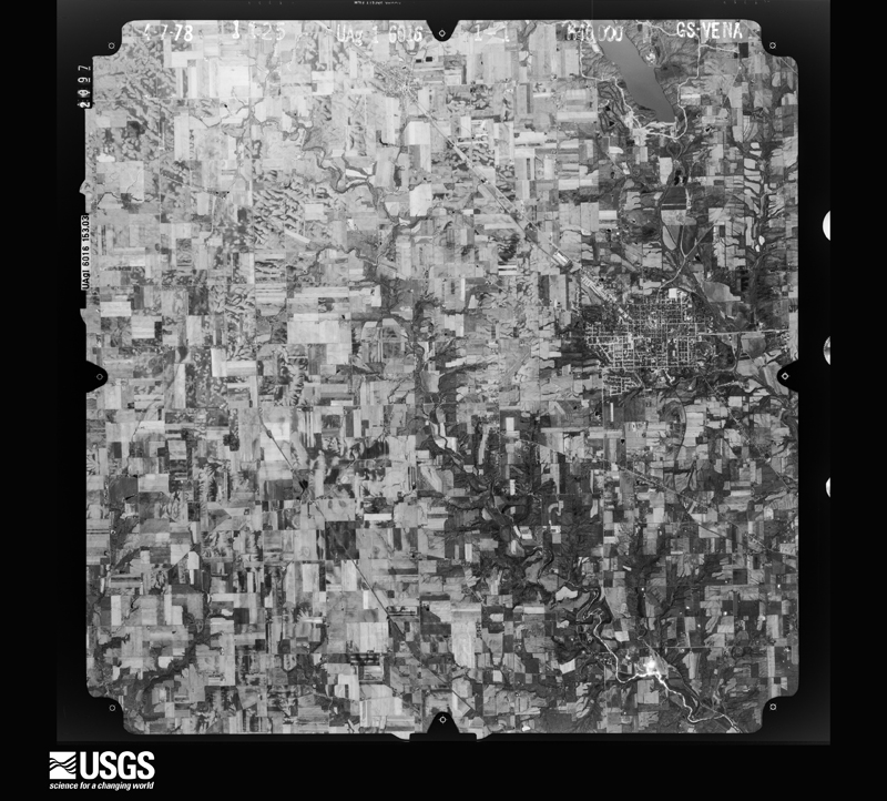
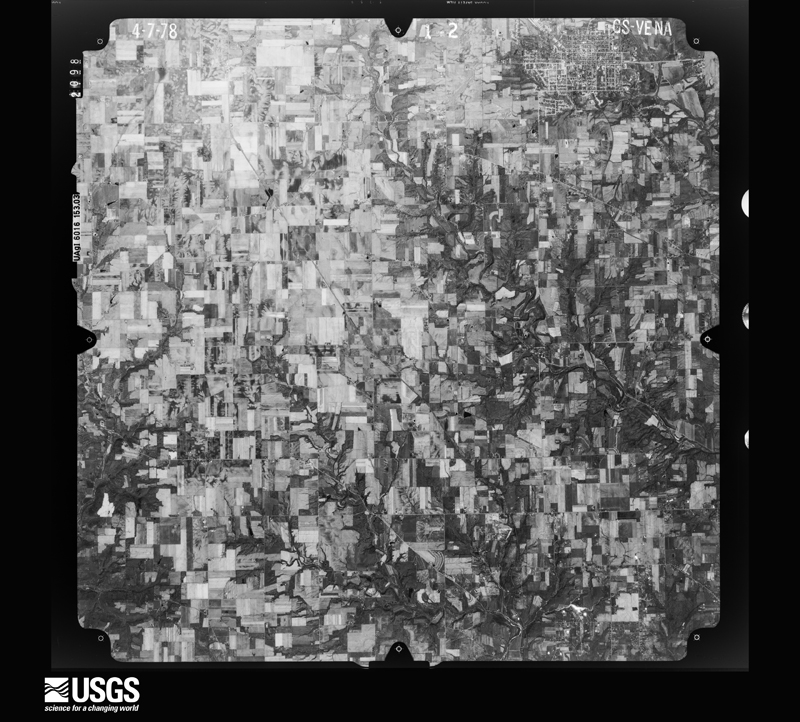
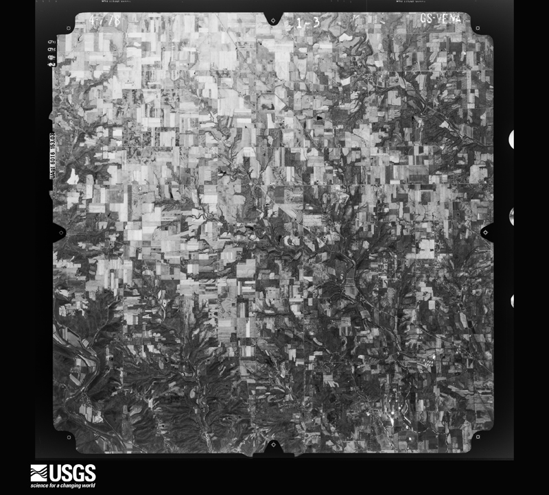
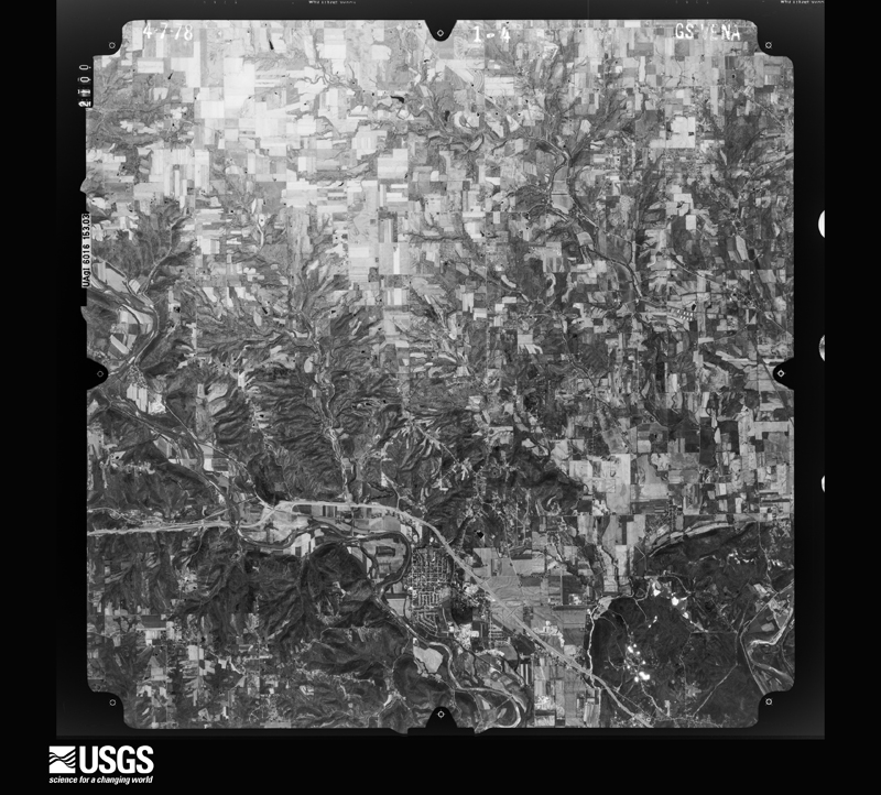
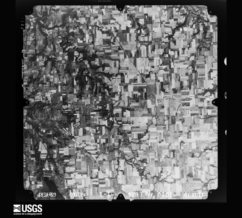
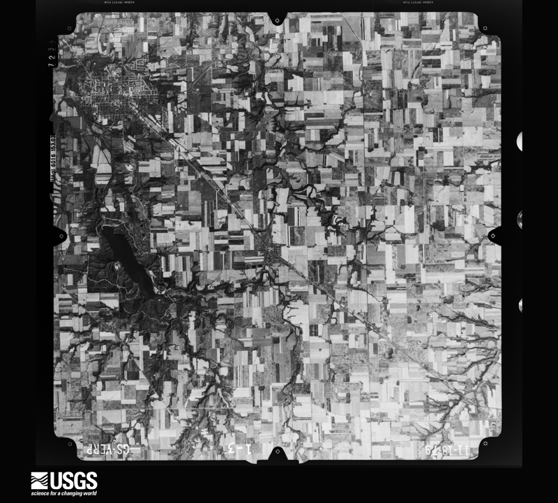
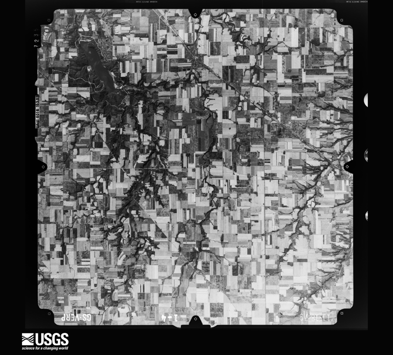
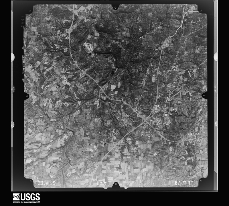
The county from the air
44 of 502 shown
Flown by the U.S. Geological Survey
between 1937 and 1989, the Aerial Photo Single Frames collection is
the definitive mid-century view of the land: fields, roads and rivers
as the camera saw them. 502 frames touch this county; the
selection below spreads across the decades of flights (at most four
per year), so one flight cannot crowd out the rest. The full set is
free to browse and download at
EarthExplorer under the dataset Aerial Photo Single
Frames.
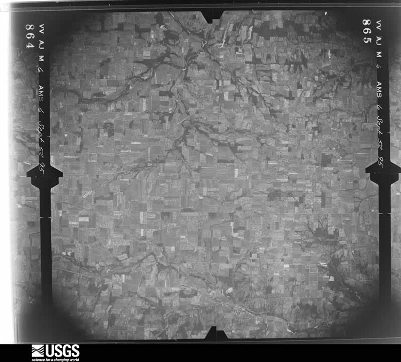
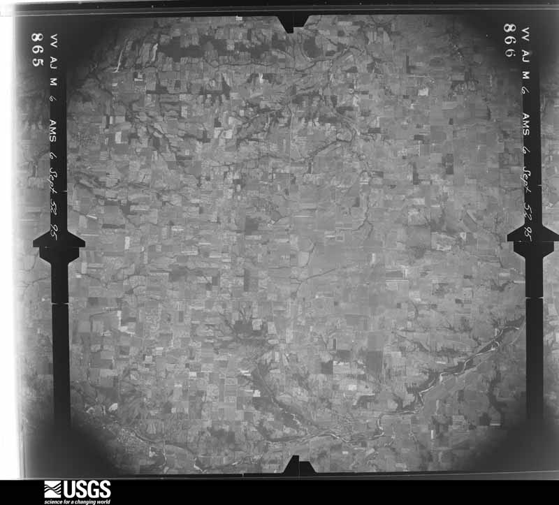
1952-09-06, scale 1:69000. U.S. Geological Survey aerial photograph.1952-09-06, scale 1:69000. U.S. Geological Survey aerial photograph.1952-09-06, scale 1:69000. U.S. Geological Survey aerial photograph.1952-09-06, scale 1:69000. U.S. Geological Survey aerial photograph.1959-10-29, scale 1:24000. U.S. Geological Survey aerial photograph.1959-10-29, scale 1:24000. U.S. Geological Survey aerial photograph.1959-10-29, scale 1:24000. U.S. Geological Survey aerial photograph.1959-10-29, scale 1:24000. U.S. Geological Survey aerial photograph.1960-05-24, scale 1:60000. U.S. Geological Survey aerial photograph.1960-06-09, scale 1:60000. U.S. Geological Survey aerial photograph.1960-06-09, scale 1:60000. U.S. Geological Survey aerial photograph.1960-06-09, scale 1:60000. U.S. Geological Survey aerial photograph.1962-09-21, scale 1:25622. U.S. Geological Survey aerial photograph.1962-09-21, scale 1:25622. U.S. Geological Survey aerial photograph.1962-09-21, scale 1:25622. U.S. Geological Survey aerial photograph.1962-09-21, scale 1:25212. U.S. Geological Survey aerial photograph.1964-04-15, scale 1:24000. U.S. Geological Survey aerial photograph.1964-04-15, scale 1:24000. U.S. Geological Survey aerial photograph.1964-04-15, scale 1:24000. U.S. Geological Survey aerial photograph.1964-04-15, scale 1:24000. U.S. Geological Survey aerial photograph.1970-04-10, scale 1:24000. U.S. Geological Survey aerial photograph.1970-04-10, scale 1:24000. U.S. Geological Survey aerial photograph.1970-04-10, scale 1:24000. U.S. Geological Survey aerial photograph.1970-04-10, scale 1:24000. U.S. Geological Survey aerial photograph.1971-05-16, scale 1:122586. U.S. Geological Survey aerial photograph.1971-05-16, scale 1:122650. U.S. Geological Survey aerial photograph.1971-05-16, scale 1:124933. U.S. Geological Survey aerial photograph.1971-05-16, scale 1:119184. U.S. Geological Survey aerial photograph.1972-07-18, scale 1:126000. U.S. Geological Survey aerial photograph.1972-07-18, scale 1:126000. U.S. Geological Survey aerial photograph.1972-08-16, scale 1:128000. U.S. Geological Survey aerial photograph.1974-05-01, scale 1:76000. U.S. Geological Survey aerial photograph.1974-05-01, scale 1:76000. U.S. Geological Survey aerial photograph.1974-05-01, scale 1:76000. U.S. Geological Survey aerial photograph.1974-05-01, scale 1:76000. U.S. Geological Survey aerial photograph.1975-04-13, scale 1:76000. U.S. Geological Survey aerial photograph.1978-04-01, scale 1:80000. U.S. Geological Survey aerial photograph.1978-04-01, scale 1:80000. U.S. Geological Survey aerial photograph.1978-04-01, scale 1:80000. U.S. Geological Survey aerial photograph.1978-04-01, scale 1:80000. U.S. Geological Survey aerial photograph.1979-11-01, scale 1:80000. U.S. Geological Survey aerial photograph.1979-11-01, scale 1:80000. U.S. Geological Survey aerial photograph.1979-11-01, scale 1:80000. U.S. Geological Survey aerial photograph.1979-11-17, scale 1:80000. U.S. Geological Survey aerial photograph.
City directories
3 volumes
The "who lived here, by year" answer:
pre-1929 public-domain directory volumes naming the county's people,
machine-read and searchable as text.
The thermometers that kept this
county's weather, and the gages that watched its rivers, as the
federal records hold them. The extremes below are measured values
from those records, not estimates.
BETHANY1893 to 1903, hottest 40.6 C, coldest -30.0 C
HAMILTON1909 to 1971, hottest 37.2 C, coldest 11.1 C
Who lived here in 1950, one enumeration
district at a time, as the Census Bureau described each district.
Each row opens its official National Archives result, with Population
Schedules and ED Maps available there.
9-1Fairfield township: Fairfield township - That part excluding Butler County Infirmary Bounded by Township line; Township line; State Hwy. 129; Hamilton city limits, Fair Grounds property line, Hamilton city limits, Township line, New Miami village limits
9-2Butler County Infirmary (In Fairfield township)
9-3Fairfield township - That part Bounded by Hamilton city limits; Fair Grounds property line; Fair Grounds property line; Hamilton city limits
9-4Fairfield township - That part Bounded by Hancock; Harvard, Lenox Ave., Tulley Rd.; Ralston Ave.; Parkamo Ave., Hamilton city limits
9-5Fairfield township - That part Bounded by State Hwy. 129; Township line; State Hwy. 4; Symmes Rd., East property line of Fisher Body Co., Baltimore and Ohio Railroad, Hamilton city limits, Bobmeyer Rd., Tulley Rd., Lenox Ave., Harvard, Hancock, Hamilton city limits
9-6Fairfield township - That part Bounded by Hamilton city limits; Parkamo Ave., Ralston Ave., Tulley Rd.; Bobmeyer Rd.; Hamilton city limits
9-7Fairfield township - That part Bounded by Baltimore and Ohio Railroad; East property line of Fisher Body Co.; Symmes Rd.; Carthage Hwy., Hamilton city limits
9-8Fairfield township - That part Bounded by Hamilton city limits; Hamilton city limits, Bishop Ave. extended, Bishop Ave., Benninghoffen Ave., North and East property line of St. Mary's Cemetery, Madison Ave., Symmes Rd., Anthony Wayne Ave.; Wyoming Ave. extended, Wyoming Ave., Pleasant Ave., Miami Ave.; River Rd., Symmes Rd., Unnamed alley west of Garsuch, Hill Ave., Pleasant Ave., Hamilton city limits
9-9Fairfield township - That part Bounded by Hamilton city limits; Pleasant Ave.; Hill Ave., Unnamed alley west of Garsuch, Symmes Rd.; River Rd.
9-10Fairfield township - That part Bounded by Miami Ave., Pleasant Ave., Wyoming Ave., Wyoming Ave. extended, Anthony Wayne Ave., Symmes Rd., Madison Ave. East and North property line of St. Mary's Cemetery, Benninghoffen Ave., Bishop Ave., Bishop Ave. extended, Hamilton city limits; Carthage Hwy., State Hwy. 4; Nilles Rd.; River Rd.
9-11Fairfield township - That part Bounded by Nilles Rd.; State Hwy. 4; County line; U.S. Hwy. 127
9-12Fairfield township - That part Bounded by Township line; Hamilton city limits, River Rd., Nilles Rd., U.S. Hwy. 127; County line; Township line
9-13Millville village, comprising parts of Hanover and Ross townships: Millville village - That part in Hanover township
9-14Millville village - That part in Ross township
9-15Hanover township, outside Millville village: Hanover township - That part Bounded by Township line; Township line; State Hwys. 177 and 130; U.S. Hwy. 27, Township line
9-16Hanover township - That part Bounded by U.S. Hwy. 27, Millville village limits; Township line; Township line
9-17Hanover township - That part Bounded by State Hwy. 130; State Hwy. 177, Township line, Hamilton city limits, Township line, Hamilton city limits; Township line, Millville village limits; U.S. Hwy. 27 (Remainder of Hanover township is in Millville village)
9-19Avalon, unincorporated: Avalon, unincorporated - That part Bounded by Tytus Ave.; Dix Rd., Dix Rd. extended; Cleveland, Cincinnati, Chicago and St. Louis Railroad; Manchester Rd.
9-20Avalon, unincorporated - That part Bounded by Middletown Hydraulic Canal; Dix Rd. extended; Tytus Ave.; Eldora Dr., Eldora Dr. extended
9-21Avalon, unincorporated - That part Bounded by Middletown Hydraulic Canal; Eldora Dr. extended, Eldora Dr., Tytus Ave., Manchester Rd.; Cleveland, Cincinnati, Chicago and St. Louis Railroad, Middletown city limits; Germantown Rd.
9-22Mayfield, unincorporated: Mayfield, unincorporated - That part Bounded by Middletown city limits; Jackson Lane; Lebanon Rd.; Winton
9-23Mayfield, unincorporated - That part Bounded by Middletown city limits; Winton; Lebanon Rd.; Middletown city limits
9-24Oneida, unincorporated: Oneida, unincorporated - That part Bounded by Oneka Ave.; Ottawa; Oxford State Rd.; Cleveland, Cincinnati, Chicago and St. Louis Railroad
9-25Oneida, unincorporated - That part Bounded by Pershing Ave., Yankee Rd., Oneka Ave.; Cleveland, Cincinnati, Chicago and St. Louis Railroad; Oxford State Rd.; North - South line extended from west end of Pershing Ave., Glenn Ave., and Sheridan Ave. to Oxford State Rd.
9-26Lemon township - That part north of Manchester Rd., outside Middletown city and the unincorporated place of Avalon (See separate map for boundaries of Avalon)
9-27Lemon township - That part south of Manchester Rd. and north of Lefferson Rd., outside Middletown city and the unincorporated place of Mayfield (See separate map for boundaries of Mayfield)
9-28Lemon township - That part south of Lefferson Rd. and east of New York Central Railroad outside Middletown city, Monroe village and the unincorporated places of Mayfield and Oneida (See separate map for boundaries of Mayfield and Oneida)
9-29Lemon township - That part west of New York Central Railroad and east of State Hwy. 4, outside Middletown city and the unincorporated place of Oneida (See separate map for boundaries of Oneida)
9-30Lemon township - That part west of State Hwy. 4 outside Middletown city
9-31Liberty township: Liberty township - That part east of Yankee Rd. and New York Central Railroad and south of State Hwy. 129
9-32Liberty township - That part west of Yankee Rd. and north of Millikin Rd.
9-33Liberty township - That part south of Millikin Rd., west of Yankee and New York Central Railroad and north of State Hwy. 129
9-35Madison township - That part Bounded by Township line; Township line; Township line; Browns Run
9-36Madison township - That part Bounded by Browns Run; Township line, State Hwy. 122; W. Alexander Rd., Michael Rd., Hetzler Rd.
9-37Madison township - That part Bounded by Township line; Browns Run, Hetzler Rd., Michael Rd., W. Alexander Rd.; State Hwy. 122; Township line
9-38Madison township - That part Bounded by State Hwy. 122; Township line; State Hwy. 73, Trenton village limits, State Hwy. 73; Township line
9-39Madison township - That part Bounded by State Hwy. 73, Trenton village limits, State Hwy. 73; Township line; Township line; Township line
9-40Middletown city: Middletown city - That part of Ward 1 Bounded by Middletown Hydraulic Canal; City limits; Tytus Ave.; Malvern
9-41Middletown city - That part of Ward 1 Bounded by Middletown Hydraulic Canal; Malvern; Tytus Ave.; Verity Pkwy., Middletown Hydraulic Canal
9-42Middletown city - That part of Ward 1 Bounded by City limits; City limits; Middletown Hydraulic Canal, Verity Pkwy., Columbia Ave., Main, Central Ave., State Hwy. 122; City limits
9-43Middletown city - That part of Ward 1, excluding Manchester Hotel Bounded by Columbia Ave.; Clinton; Central Ave.; Main
9-45Middletown city - That part of Ward 1 Bounded by State Hwy. 122, Central Ave.; Clinton; Verity Pkwy., 2nd Ave., Ward line; City limits
9-46Middletown city - That part of Ward 2 Bounded by Girard Ave.; Young; Cincinnati, Lebanon & Northern Railway
9-47Middletown city - That part of Ward 2 Bounded by Girard Ave.; Cincinnati, Lebanon & Northern Railway, Verity Pkwy.; Yankee Rd., Broad
9-48Middletown city - That part of Ward 2 Bounded by 2nd Ave.; Verity Pkwy.; Girard Ave., Broad, Yankee Rd., 5th Ave.; Main
9-49Middletown city - That part of Ward 2 Bounded by Ward line, 2nd Ave.; Main; City limits; City limits
9-50Middletown city - That part of Ward 2 Bounded by 5th Ave.; Yankee Rd.; 9th Ave.; Main
9-51Middletown city - That part of Ward 2 Bounded by 9th Ave.; Yankee Rd., Verity Pkwy.; 14th Ave.; Main
9-52Middletown city - That part of Ward 2 Bounded by Cincinnati, Lebanon & Northern Railway; Young, Penfield Ave., Young; Calumet Ave., Grove, Calumet Ave.; Yankee Rd., Verity Pkwy.
9-53Middletown city - That part of Ward 2 Bounded by Calumet Ave., Grove, Calumet Ave.; Young; Yankee Rd.
9-54Middletown city - That part of Ward 2 Bounded by Yankee Rd.; 14th Ave.; Verity Pkwy.
9-55Middletown city - That part of Ward 2 Bounded by 14th Ave.; Verity Pkwy.; 18th Ave.; Main
9-56Middletown city - That part of Ward 2 Bounded by 18th Ave.; Verity Pkwy.; City limits; Main
9-57Middletown city - That part of Ward 2 Bounded by 14th Ave.; Yankee Rd., Ward line; City limits; Verity Pkwy.
9-58Middletown city - That part of Ward 3 Bounded by City limits; City limits, Aberdeen Dr.; Elmo Pl.; Shafor, Cleveland, Cincinnati, Chicago and St. Louis Railroad
9-59Middletown city - That part of Ward 3 Bounded by Tytus Ave., City limits; Cleveland, Cincinnati, Chicago and St. Louis Railway; Shafor, Atco Ave., Nelbar
9-60Middletown city - That part Ward 3 Bounded by Tytus Ave.; Nelbar, Atco Ave., Shafor; Cleveland, Cincinnati, Chicago and St. Louis Railway, Cleveland, Cincinnati, Chicago and St. Louis Railway siding; Auburn
9-61Middletown city - That part of Ward 3 Bounded by Tytus Ave.; Auburn, Cleveland, Cincinnati, Chicago and St. Louis Railway siding, Cleveland, Cincinnati, Chicago and St. Louis Railway; Fleming Rd.; Charles
9-62Middletown city - That part of Ward 3 Bounded by Tytus Ave.; Charles; Cleveland, Cincinnati, Chicago and St. Louis Railway siding; Verity Pkwy.
9-63Middletown city - That part of Ward 3 Bounded by Cleveland, Cincinnati, Chicago and St. Louis Railway siding; Charles; Fleming Rd.; Clark, Vine, Webster, Verity Pkwy.
9-64Middletown city - That part of Ward 3 Bounded by Verity Pkwy., Webster, Vine; Clark; Manchester Ave.; Clinton
9-65Middletown city - That part of Ward 3 Bounded by Flemming Rd.; Charles; Columbia Ave.; Clark
9-66Middletown city - That part of Ward 3 Bounded by Columbia Ave.; Charles; Manchester Ave.; Clark
9-67Middletown city - That part of Ward 3 Bounded by Flemming Rd., Cleveland, Cincinnati, Chicago and St. Louis Railway; Shafor; North Ave.; Charles
9-68Middletown city - That part of Ward 3 Bounded by Fleming Rd.; Bellemonte; Central Ave.; Shafor
9-69Middletown city - That part of Ward 3 Bounded by Elmo Pl.; Aberdeen Dr.; Central Ave.; Bellemonte, Flemming Rd., Shafor
9-70Middletown city - That part of Ward 3 Bounded by City limits; Thorn Hill Lane, Glenmore Dr.; Central Ave.; Aberdeen Dr.
9-71Middletown city - That part of Ward 3 Bounded by City limits; City limits; Central Ave.; Glenmore Dr., Thorn Hill Lane
9-72Middletown city - That part of Ward 3 Bounded by North Ave.; Shafor; Central Ave., 1st Ave.; Cleveland, Cincinnati, Chicago and St. Louis Railway, Central Ave., Charles
9-73Middletown city - That part of Ward 3 Bounded by Manchester Ave.; Charles; Central Ave. Clinton
9-74Middletown city - That part of Ward 3 Bounded by Central Ave.; Cleveland, Cincinnati, Chicago and St. Louis Railway; 1st Ave., Garfield, Girard Ave.; Verity Pkwy., Clinton
9-75Middletown city - That part of Ward 4 Bounded by Central Ave.; City limits; City limits; Jackson Lane, Grand Ave., Highview Rd.
9-76Middletown city - That part of Ward 4 Bounded by Central Ave.; Highview Rd.; Grand Ave.; Highland, Sherman Ave., Highland, Highland extended
9-77Middletown city - That part of Ward 4 Bounded by Central Ave.; Highland extended, Highland; Sherman Ave.; Sutphin
9-78Middletown city - That part of Ward 4 Bounded by Central Ave.; Sutphin; Sherman Ave.; Moore
9-79Middletown city - That part of Ward 4 Bounded by 1st Ave.; Moore; Sherman Ave.; Cleveland, Cincinnati, Chicago and St. Louis Railway
9-80Middletown city - That part of Ward 4 Bounded by Girard Ave., Garfield, 1st Ave.; Cleveland, Cincinnati, Chicago and St. Louis Railway; Grand Ave., Lamneck, Penfield Ave.; Garfield, Fairmount Ave., Young
9-81Middletown city - That part of Ward 4 Bounded by Fairmount Ave.; Garfield; Penfield Ave.; Young
9-82Middletown city - That part of Ward 4 Bounded by Sherman Ave.; Moore, Wayne Ave., Cleveland; Woodlawn Ave.; Cleveland, Cincinnati, Chicago and St. Louis Railway
9-83Middletown city - That part of Ward 4 Bounded by Woodlawn Ave.; Cleveland; Grand Ave.; Cleveland, Cincinnati, Chicago and St. Louis Railway
9-84Middletown city - That part of Ward 4 Bounded by Sherman Ave., Sutphin, Sherman Ave.; Highland; South Ave.; Cleveland, Wayne Ave., Moore
9-85Middletown city - That part of Ward 4 Bounded by Grand Ave.; Jackson Lane, City limits; City limits; Highland
9-86Middletown city - That part of Ward 4 Bounded by Grand Ave.; Cleveland; South Ave.; Moore
9-87Middletown city - That part of Ward 4 Bounded by Grand Ave., Moore, South Ave., Stanley; Highland, City limits; City limits; Cleveland, Cincinnati, Chicago and St. Louis Railway
9-88Middletown city - That part of Ward 4 Bounded by Penfield Ave., Lamneck, Grand Ave.; Cleveland, Cincinnati, Chicago and St. Louis Railway; Michigan Ave.; Garfield
9-89Middletown city - That part of Ward 4 Bounded by Penfield Ave.; Garfield; Michigan Ave.; Young
9-90Middletown city - That part of Ward 4 Bounded by Michigan Ave.; Garfield; Yankee Rd.; Young
9-91Middletown city - That part of Ward 4 Bounded by Michigan Ave.; Cleveland, Cincinnati, Chicago and St. Louis Railway; City limits; Yankee Rd., Garfield
9-92Middletown city - That part of Ward 4 Bounded by Yankee Rd.; Lafayette Ave.; Ward line
9-93Middletown city - That part of Ward 4 Bounded by Lafayette Ave.; Yankee Rd.; City limits; Ward line
9-95Milford township - That part north of State Hwy. 73 and east of State Hwy. 177, outside Somerville village
9-96Milford township - That part south of State Hwy. 73 and west of State Hwy. 177
9-97Morgan township: Morgan township - That part northeast of State Hwy. 126
9-98Morgan township - That part southwest of State Hwy. 126
9-99Oxford township: College Corner village - That part in Butler County, comprising part of Oxford township (Remainder of College Corner village is in Israel township, Preble County)
9-100Oxford village: Oxford village - That part Bounded by Village limits; Village limits; High; Bishop Ave.
9-101Oxford village - That part Bounded by Village limits; Bishop Ave.; High; Main
9-102Oxford village - That part Bounded by Village limits; Main; High; Village limits
9-103Oxford village - That part Bounded by High; Beech, Spring, Main; Village limits; Village limits
9-104Oxford village - That part Bounded by High; Campus Ave.; Village limits; Main, Spring, Beech
9-105Oxford village - That part Bounded by Spring; Oak; Village limits; Campus Ave. SUPERVISOR NOTE: This Enumeration District is expected to require subdivision. Examine before enumeration. See instructions.
9-106BOxford village - That part Bounded by High; Center Campus; Spring; Campus Ave.
9-106AOxford village - That part Bounded by High; Village limits; Spring; Center Campus
9-107AOxford village - That part Bounded by Spring; Village limits; Line running east and west from village limits to Oak, south of the South Hall and Home Management buildings; Oak
9-107BOxford village - That part Bounded by Line running east and west from village limits to Oak, south of the South Hall and Home Management buildings; Village limits; Village limits; Oak
9-108AOxford township - That part east of State Hwy. 732 and north of State Hwy. 73 outside Oxford village
9-108BOxford township - That part south and east of State Hwy. 732 and south of State Hwy. 73 outside Oxford village
9-109Oxford township - That part northeast of Baltimore and Ohio Railroad and west of State Hwy. 732, outside College Corner and Oxford villages
9-110Oxford township - That part southwest of Baltimore and Ohio Railroad north and west of State Hwy. 732, outside College Corner and Oxford villages
9-111Reily township: Reily township - That part east of State Hwy. 732
9-112Reily township - That part west of State Hwy. 732
9-113Ross township, outside Millville village: Ross township - That part east of U.S. Hwy. 27, outside Millville village
9-114Ross township - That part west of U.S. Hwy. 27, outside Millville village (Remainder of Ross township is in Millville village)
9-115Seven Mile village, comprising parts of St. Clair and Wayne townships: Seven Mile village - That part in St. Clair township
9-116Seven Mile village - That part in Wayne township
9-117St. Clair township, outside Seven Mile village: New Miami village: New Miami village - That part Bounded by Village limits; Village limits; Augspurger Rd., Augspurger Ave., Sevenmile Ave.; Village limits
9-118New Miami village - That part Bounded by Sevenmile Ave., Augspurger Ave., Augspurger Rd.; Village limits; Village limits; Village limits
9-119St. Clair township - That part Bounded by Township line, Seven Mile village limits, Township line; Township line; Township line, New Miami village limits, Augspurger Rd., Jackson Rd., Trenton Pike, Eaton Rd., New Miami village limits, Township line, Hamilton city limits; Township line
9-120St. Clair township - That part Bounded by Trenton Pike; Jackson Rd.; Augspurger Rd., New Miami village limits; Baltimore and Ohio Railroad, South extended, Clark
9-121St. Clair township - That part Bounded by Trenton Pike; Clark, South extended, Baltimore and Ohio Railroad; New Miami village limits; Riverside Rd., South, Williams
9-122St. Clair township - That part Bounded by Trenton Pike; Williams, South, Riverside Rd.; New Miami village limits; Eaton Rd.
9-123St. Clair township - That part Bounded by Hamilton city limits; Hamilton city limits; Hamilton city limits; Township line
9-124St. Clair township - That part Bounded by Hamilton city limits; Hamilton city limits; Township line; Township line (Remainder of St. Clair township is in Seven Mile village)
9-125Union township: Union township - That part Bounded by Township line; County line; County line; U.S. Hwy. 25
9-126Union township - That part Bounded by Township line; U.S. Hwy. 25; Township Rd. 128, Mills Rd., Beckett Rd., Smith Rd.; State Hwy. 747, Hamilton Rd., Township line
9-127Union township - That part Bounded by Hamilton Rd., State Hwy. 747, Smith Rd., Beckett Rd., Mills Rd., Township Rd. 128; U.S. Hwy. 25; Township line; Township line
9-128Wayne township, outside Seven Mile village: Jacksonburgh village
9-129Wayne township - That part east of State Hwy. 503, north of Mill Rd. and east of Cotton Run Rd., outside Jacksonburgh village
9-130Wayne township - That part west of State Hwy. 503, south of Mill Rd. and west of Cotton Run Rd., outside Seven Mile village (Remainder of Wayne township is in Seven Mile village)
Businesses named in the atlases
68 businesses
Every Sanborn volume opens with a printed index
naming the town's mills, tanneries, hotels and works by proprietor. Those
indexes were read off the scanned sheets by machine and then matched to each
other, so a business surveyed four times appears here once, with the years it
survived. 11 of these 68 were named in more than one atlas. Each carries a
crop of the line it was read from: the spelling is the recogniser's and the
1880s lithographer's, and the scan behind it is the proof.
The
NOAA Storm Events Database holds
597 reports for this county, causing 4 deaths,
38 injuries and about $69,605,700 in recorded property damage.
Each settlement page carries the reports that name it.
Kind of event
Reports
Thunderstorm Wind
309
Hail
159
Flash Flood
61
Flood
30
Tornado
25
Lightning
7
Heavy Rain
6
The most serious of them, by death, then
injury, then recorded damage. The accounts are quoted exactly as the
forecast office filed them.
A woman was injured when a tree fell on her. She suffered a concussion and some cuts and bruises. Numerous trees were downed in the Middletown and in New Miami areas.
Several state, county and township roads incurred culvert and/or beam damage. 159 dwellings and one nursing home with damage across county. A stream was out of its banks at the intersection of State Routes 73 and 177. Total estimate of public assistance is 1,465,350.
Twenty five homes in the Cedar Grove subdivision in New Miami were evacuated when Four Mile and Seven Mile Creeks came out of their banks. In Fairfield, up to 50 homes were evacuated when Pleasant Run Creek rose out of its banks. Cars were trapped in high water throughout Fairfield, with a total of 300 homes sustaining damage from the flooding.
The tornado first touched down near the intersection of Jacksonburg Road and Oxford Middletown Road, where some minor roof and tree damage was observed. Damage was more pronounced at properties along Middletown Eaton Road. Several homes had fascia and shingles removed. One house even lost some plywood underneath the shingles.||The strongest winds occurred at a property on Elk Creek Road, just north of the bridge over Elk Creek. A home on the east side of the road had the roof removed from the second story, with the back wall also failing in the process. This is where the tornado is likely to have been at its maximum intensity, with the degree of damage and structural damage to the home supporting an estimated wind speed of 110 mph. A barn at this property was leveled, with some debris moved slightly west from its original location and other debris strewn downwind to the northeast across a field.||Roof and tree damage was observed at several properties on both sides of West Alexandria Road, with varying degrees of shingle removal, and a few patches of trees with a significant percentage of the trees snapped off. Damage continued east-northeast to Dickey Road, with debris from these properties found as much as a third of a mile away, in a field on the east side of the road.||At one property on Hetzler Road, some minor roof and tree damage was observed. This is believed to be the last damage from the tornado.
Tornadic damage was first observed near Hamilton Eaton Road, just north of New Miami, Ohio and traveled northeast. The tornado caused substantial roof and siding damage to several mobile homes and moved at least two others from their foundation. There were also numerous trees either uprooted or with their tops snapped through this area. The tornado then continued along Trenton Road and Hawkins Road, where additional tree damage was noted. From there, the tornado crossed Wayne Madison Road, where several power poles were snapped. ||Additional damage to outbuildings was noted along Woodsdale Road. The tornado then moved across the Great Miami River and caused damage to several homes in a subdivision just east of Hamilton Middletown Road. Homes on and near Hailey Lane, Michelle Lane, and Hollybrook Drive were also damaged with peeled off shingles and flashing, along with portions of roof removal. Numerous trees were also downed in this area. The damage after this subdivision became much more sporadic in nature so the tornado likely dissipated beyond this point.
The tornado started in Reily Township along Bunker Hill Woods Road where one outbuilding was destroyed and significant damage occurred to the roof and garage of a single family home. Winds in this area were estimated to be around 110 mph. ||Trees were snapped and another outbuilding was destroyed along Pierson Road. Additional tree and structure damage was noted along Stillwell Beckett Road. The tornado continued to move east and downed some trees at the Indian Ridge Golf Club. Some trees were also downed along Eagle View Court and Lanes Mill Road just east of the golf course before the tornado ended.
A National Weather Service storm survey confirmed a tornado near Liberty Township. This tornado lifted an entire roof off of a two story home and the exterior walls collapsed. Significant roof damage occurred to three other residences nearby as well. Multiple vehicles sustained damage in the path of the tornado. Numerous trees were snapped, power poles were snapped, and several homes had minor roof and siding damage due to the tornado. The maximum estimated wind speed based on damage was around one-hundred and five miles per hour.
This tornado developed near Sharptown in Franklin County, Indiana, at 2323EST. It traveled northeast and entered Butler County, Ohio, at 2326EST, just east of Scipio. As it moved northeast through Butler County, tree damage and minor home damage were observed along Hart Road. Homes, outbuildings, and numerous trees were damaged along Dunwoody Road. Additional outbuildings and trees were damaged on Sample Road south of Reily, Ohio. Power poles were also snapped in this area. The northeast track continued into the Pater Wildlife Area, snapping numerous trees and additional trees were damaged along Bunker Hill Woods Road and Stillwell Road. The tornado likely dissipated south of McGonigle, Ohio, near Millville Oxford Road.
Persistent heavy rainfall caused roads to be flooded, mainly across the southern parts of the county. One bride collapsed due to the force of the water.
Numerous trees were uprooted, several chimneys were damaged, several buildings had siding torn and shingles blown off, a carport collapsed, a power pole was snapped, and twenty cars at a car dealership sustained minor damage due to thunderstorm winds. In addition, the roofs of two businesses were damaged due to the winds.
The tornado developed in West Chester, near the intersection of Tylersville Road and Lady Anne Drive, where some trees were downed and minor house damage occurred. From here, the tornado traveled east across Interstate 75, causing sporadic tree damage before moving across VOA Park. In the park, an outbuilding was toppled and several soccer goals were scattered throughout the grounds. The tornado then crossed Butler Warren Road and entered Warren County at 1953EST, between Tyler Court and Clover Drive. The tornado continued east across Warren County before ending just west of Morrow at 2006EST.
Street flooding occurred along Western Avenue and several other roadways in the Highland Park neighborhood of Hamilton. Water was as deep as 3 feet in some locations.
A homeowner witnessed a tornado in the tree line northwest of their farm on the north side of King Road. In addition to the trees, an older house had its roof removed. A newer and well-built barn sustained half of the roof being peeled off with a large metal door being blown 25 yards away, wrapping around a silo. Wind speeds were estimated to be around 75 mph.
Hundreds of trees and some power lines were downed. Some of the trees fell across State Route 4, to the southeast of Hamilton. Power was out to around 30,000 customers shortly after the storm.
Over a foot of standing water inundated at least eleven cars at a local car dealer and portions of the corner gas station. Several homes also had water over their porches, up to their front doors.
Flash flooding, several feet deep, occurred at several intersections in Hamilton, including Main St. and Lawn St., Franklin St. and Edgewood St., and Eaton St. and Rhea St.
Indian Creek came out of its banks and inundated the basement and first floor of a home near the intersection of Walnut Street and Ross Hanover Road. A swift water rescue was needed to remove the family from the home.
This brief tornado moved from south to north along the west side of Cincinnati Dayton Road in southeast Middletown. Several structures in the area sustained damage to roofing material and metal siding. Minor tree damage was also seen in this isolated area. Lastly, a few semi trailers were overturned or lofted briefly.
Mines and
quarries
30 recorded
The Survey's mineral resources record
lists 30 workings inside this county. 15 still
produce and 15 are closed or unrecorded. Each settlement
page carries the workings within five miles of it.
Commodity
Workings
Sand and Gravel, Construction
28
Iron
2
The least common of them first, because a
county's hundredth gravel pit says nothing its first ten did not.
Museum specimens collected inside this
county and catalogued with a date and a place: 2,437 of them, by
kingdom 1,218 animalia, 896 fungi, 246 plantae, 62 protozoa, 14 unrecorded. Each is a physical object in a named collection, not a
sighting. Held by YPM, BPI, NY, MU, ILL, CINC among others, and each settlement page carries
the specimens collected near it.
The oldest of them. A specimen proves
something was collected on that day; its absence proves nothing.
Centennial History of Butler County, Ohio devotes a chapter to each township:
its boundaries and streams, who settled it and when, the mills, the
schools and the churches. All 15 are reproduced here in full. Each row
shows the township's own shape and where it lies in the county, drawn from
the Census Bureau's boundary. Which settlements belong to which township
is computed from that same boundary, not taken from the book.
Everyone Centennial History of Butler County, Ohio stops to write about, with
the section that describes them. Among them are the men who founded the
place and governed the Territory. Each name opens the passage itself, in
the words of 1905.
Named settlements recorded in the Geographic Names
Information System, each with the topographic sheets covering it. Villages,
hamlets and abandoned places alike. Each is shown with the watercourse or
landform it stands on and the survey quadrangle it falls on. The 6
places that were also surveyed for fire insurance come first, with the
number of atlases and photographs held for them.
The complete index, with nothing left out.
Each of these is a separate record with its own page: a federal survey
report, or the case file that argued a property on to the National
Register. Both are public domain and reproduced word for word.
Topographic sheets. USGS Historical Topographic Map Collection, county index, measured from the bulk metadata.
Fire insurance maps. Library of Congress Sanborn collection, faceted to this county.
Photographs. Each place queried individually against the Library of Congress Prints and Photographs search.
Wildfire. Short, Karen C. 2022. Spatial wildfire occurrence data for the United States, 1992-2020 [FPA_FOD_20221014]. 6th Edition. Fort Collins, CO: Forest Service Research Data Archive. https://doi.org/10.2737/RDS-2013-0009.6 Collected with United States Government funding and usable without additional permissions or fees.
Specimens. Global Biodiversity Information Facility (GBIF), https://www.gbif.org/. Only records licensed CC0 or CC BY are used. Records licensed CC BY-NC are excluded because this site carries advertising. Images are checked individually and any whose licence is non-commercial, no-derivatives or unreadable is refused.
Mines and quarries. USGS Mineral Resources Data System (MRDS) https://mrdata.usgs.gov/mrds/ A work of the United States government, no copyright under 17 U.S.C. 105.
Storms. NOAA National Centers for Environmental Information, Storm Events Database https://www.ncei.noaa.gov/stormevents/ A work of the United States government, no copyright under 17 U.S.C. 105. Narratives are quoted verbatim from the National Weather Service report and are not edited or summarised.
 Block
Block