 Block
Block
Blairsville, Ohio
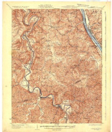
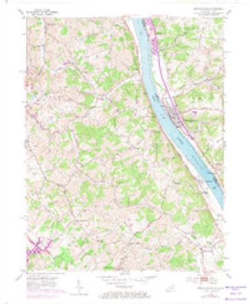
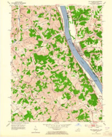
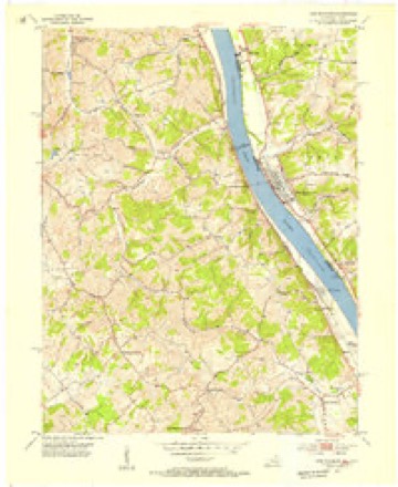
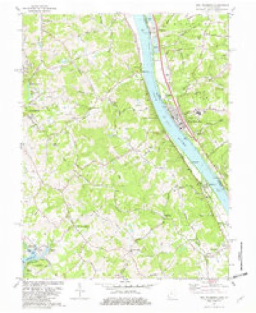
13 topographic sheets cover this place, the earliest surveyed in 1929 and the latest in 1986. It stands in Pierce Township. It lies in ZIP code area 45157. It stands on Pond Run. The Survey maps it on the New Richmond quadrangle.
Then and now
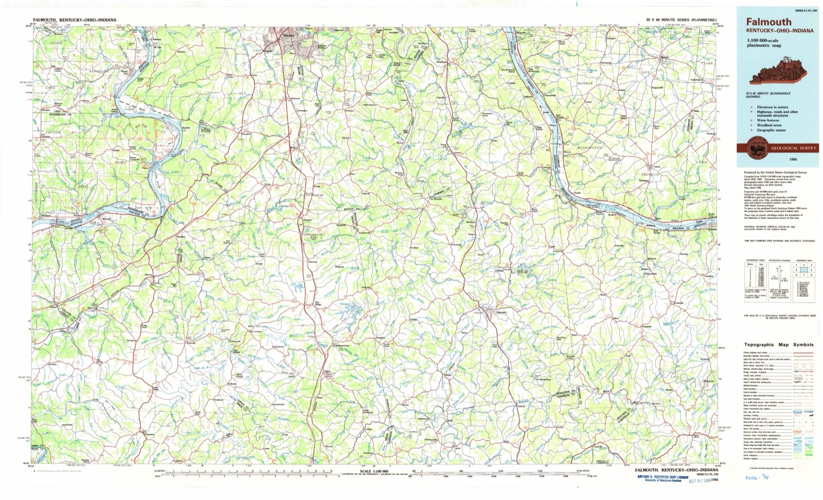
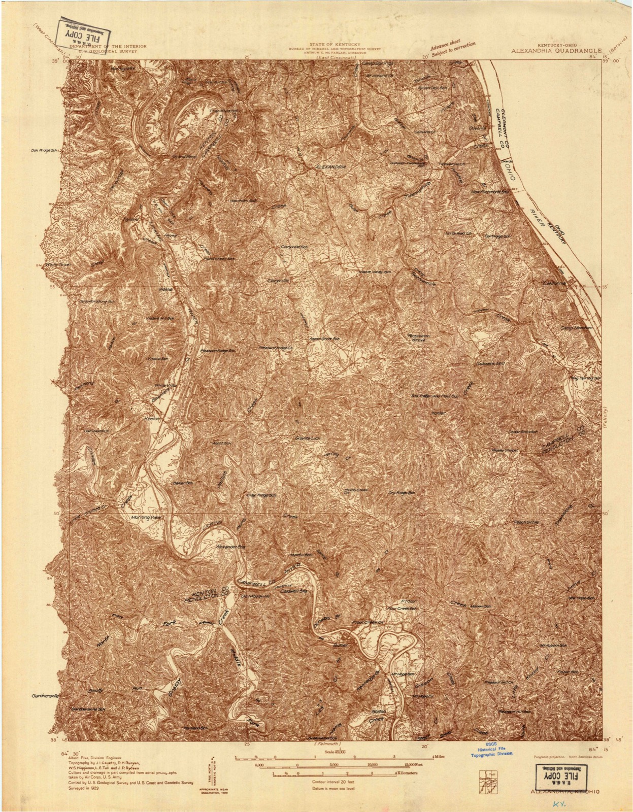
1929 to 1986The same ground, surveyed 57 years apart. Drag the handle to wipe between them. Both sheets are United States Geological Survey originals; neither has been altered.
Topographic sheets covering this place
13 sheetsMatched by testing this settlement's coordinate against the published boundary of every sheet in the United States Geological Survey's historical collection. Each opens the scanned sheet at the Survey.
- 1929 USGS Alexandria quadrangle1:48000
- 1936 USGS Alexandria quadrangle1:62500
- 1936 USGS Alexandria quadrangle1:62500
- 1953 USGS New Richmond quadrangle1:24000
- 1953 USGS New Richmond quadrangle1:24000
- 1953 USGS New Richmond quadrangle1:24000
- 1956 USGS Louisville quadrangle1:250000
- 1956 USGS Louisville quadrangle1:250000
- 1964 USGS Louisville quadrangle1:250000
- 1981 USGS New Richmond quadrangle1:24000
- 1981 USGS New Richmond quadrangle1:24000
- 1986 USGS Falmouth quadrangle1:100000
- 1986 USGS Falmouth quadrangle1:100000
Specimens collected nearby
12 of 765 shownMuseums hold 765 specimens collected within 10 miles of Blairsville between 1866 and 1975: 608 Animalia, 134 Fungi, 13 Plantae, 8 Protozoa, 2 Chromista. 12 distinct Species records are shown. Collected by A JOHN AND R KNOTTS, A. Braun, A. F. Braun and others. Each is a physical object with a catalogue number, and each entry opens the museum's record. This is what was collected and kept, not a survey of what lives here - nothing can be concluded from a species being absent.
| Image | Species | Year | Collected by | Where, as recorded |
|---|---|---|---|---|
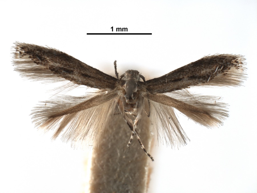 | Apophthisis pullata Braun, 1915 | 1929 | A. Braun | [Not Stated] |
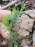 | Galium concinnum Torr. & A.Gray | 1866 | Mohr, C. | Bantam |
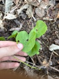 | Asarum canadense L. | 1877 | Mohr, Marie | Clermont County, Ohio |
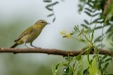 | Leiothlypis peregrina (A.Wilson, 1811) | 1878 | Collector(s): Leonard R. Freeman | Locust Corner |
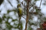 | Vireo griseus noveboracensis (Gmelin, 1789) | 1879 | Freeman, L. | Locust Corner, Clermont, Ohio, USA |
 | Geastrum lageniforme Vittad. | 1882 | Carley S. T. | |
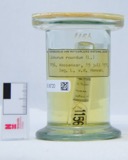 | Liobunum Agassiz, 1846 | 1890 | [Not Stated] | [Not Stated] |
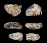 | Mammuthus primigenius (Blumenbach, 1799) (fossil) | 1900 | not recorded | |
 | Bufo fowleri Hinckley, 1882 | 1904 | Lindahl, J. (Joshua) | Batavia, Clermont Co., Ohio |
 | Barbula unguiculata Hedw. | 1909 | Braun, E. Lucy | 9-mile road in Ninemile |
 | Bryum argenteum Hedw. | 1909 | Braun, E. Lucy | 9-mile road in Ninemile |
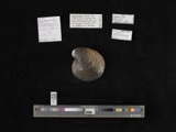 | Obovaria retusa (Lamarck, 1819) | 1909 | Bureau of Fisheries | Ohio River, Point Pleasant |
All 765 specimens within 10 miles, at the Global Biodiversity Information Facility.
Storms nearby
7 since 2012The National Weather Service names Blairsville in 7 storm reports between 2012 and 2025: 3 flash flood, 2 thunderstorm wind, 1 tornado, 1 flood. No death or injury is recorded in these reports. Each account below is quoted exactly as the forecast office filed it, from the NOAA Storm Events Database, and each date opens the federal record of that event.
| When | Event | Place named | Harm | What the report says |
|---|---|---|---|---|
| March 2017 | Tornado (EF1) | Blairsville | $400,000 | The first sign of tornadic damage was observed on Locust Corner Road in Pierce Township near the Pierce Township Nature Area where several trees were snapped. A power pole was also snapped on the corner of Locust Corner Road and Wagner Road.||Damage continued on Locust Corner Road near the Pierce Township Park. Damage was mostly in the form of snapped trees and downed tree branches. Several evergreen trees were also uprooted.||Further east, beginning at the intersection of Lewis Road and Locust Lake Road, tree damage continued and was more significant. Structural damage was also observed at the 1300 block of Locust Lake Road. The most significant damage occurred to a home which had its roof completely lifted off and displaced into the backyard. Damage here was estimated to be EF1 in nature, with maximum winds near 110 MPH. Other homes further east on Locust Lake Road also suffered damage, including shingles ripped off and several instances of siding partially or completely removed from multiple sides of several structures. Multiple trees also fell onto one of the homes, resulting in roof damage.||To the east of Locust Lake Road, any structural damage was more sporadic and primarily consisted of shingles torn from a few homes on Maple Avenue and South Klein Avenue. A few trees were snapped as far east as Amelia Park Drive and Mount Holly Road. |
| June 2019 | Flash Flood | Blairsville | $8,000 | Three vehicles were stuck and abandoned due to high water along the 900 block of State Route 749. |
| July 2012 | Thunderstorm Wind | Blairsville | $2,000 | A few trees were reported down in the area including along 9 Mile Road due to thunderstorm winds. |
| April 2025 | Thunderstorm Wind | Blairsville | $1,000 | A tree was downed along State Route 749 north of U.S. Route 52. |
| May 2022 | Flood | Blairsville | - | Shallow water was flowing across State Route 749. |
| August 2016 | Flash Flood | Blairsville | - | High water was reported rushing over Grays Lane near New Richmond. |
| August 2016 | Flash Flood | Blairsville | - | Numerous reports of high water were still being reported from Pierce Township through the Amelia area. |
Nearest settlements
The eight closest, with where each one stands in the county. Distances are straight-line, computed from the Geographic Names Information System coordinates.
| Map | Place | Distance | Sheets |
|---|---|---|---|
| New Palestine | 1.2 miles | 21 | |
| Spann (historical) | 2.1 miles | 21 | |
| Locust Corner | 2.4 miles | 21 | |
| Home (historical) | 2.5 miles | 21 | |
| New Richmond | 3.2 miles | 13 | |
| Ninemile | 3.2 miles | 21 | |
| Mount Pisgah | 3.3 miles | 12 | |
| Locust Lake | 3.9 miles | 19 |
Elsewhere
Matched on this settlement's Geographic Names Information System number rather than its name, so it cannot be a different place of the same name in another state.
| Wikipedia article on Blairsville | An encyclopaedic summary. Its text is share-alike, so it is linked here rather than copied. |
| Wikidata item Q22133553 | The structured record the population and elevation above come from. Public domain (CC0). |
Provenance
This settlement is recorded in the Geographic Names Information System as feature 1060878. The sheet list is computed by point-in-boundary test against the United States Geological Survey's historical topographic inventory. Both are works of the United States government and carry no copyright under 17 U.S.C. 105.
Specimens. Global Biodiversity Information Facility (GBIF), https://www.gbif.org/. Only records licensed CC0 or CC BY are used. Records licensed CC BY-NC are excluded because this site carries advertising. Images are checked individually and any whose licence is non-commercial, no-derivatives or unreadable is refused.
Storms. NOAA National Centers for Environmental Information, Storm Events Database https://www.ncei.noaa.gov/stormevents/ A work of the United States government, no copyright under 17 U.S.C. 105. Narratives are quoted verbatim from the National Weather Service report and are not edited or summarised.