BlockBefore
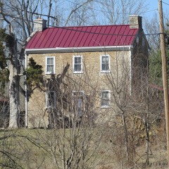
Decorative drawing: a county panorama. Not a photograph of this place.

Clermont County, Ohio

98 topographic sheets and 23 fire insurance atlases across 4 places.

Research this county

This curated hub for Clermont County, Ohio brings together the page's documented record links, visible map or image evidence where published, and routes to related local records.

What is documented here?

Use the page's provenance and linked records to distinguish the source material from the site's navigation and summaries.

How should I cite it?

Open the original record, preserve its repository and identifier, then use the citation tool for this page as a path back to the source.

Where should I go next?

Follow the county or state hub for related places and records, then use the guide for a source-aware research sequence.

From the record

15 National Register listings · 23 businesses named in the fire insurance atlases from 1887 to 1933 · the 1891 county history tells 0 stories and names 0 people.

Sources: the county history on the Internet Archive · the National Register database, National Park Service

Ohio within the United States
Clermont County within Ohio
Explore by year 1812 1933

What the record shows

  • 4 places in this county were surveyed for fire insurance: Batavia, New Richmond, Bethel, Williamsburg, between 1885 and 1941.
  • 23 fire insurance atlas(es) survive for the county. Topographic coverage is national; fire insurance survey reached only incorporated places with something worth insuring.
  • 1,802 topographic sheet readings cover the county's settlements.
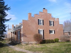
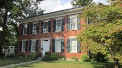
  • 15 properties here are on the National Register of Historic Places, including 1 covered bridge, 1 historic district, 10 houses and farms.
  • 7 of the 15 listings were added during the 1970s.
  • The Geographic Names Information System records 107 populated places in this county; 0 are covered by at least one topographic sheet.
  • 2 public-domain county histories, 1891 and 1928, supply 20,217 words of narrative reproduced here in full.

Photographs

20 photographs, 1940 to 2016

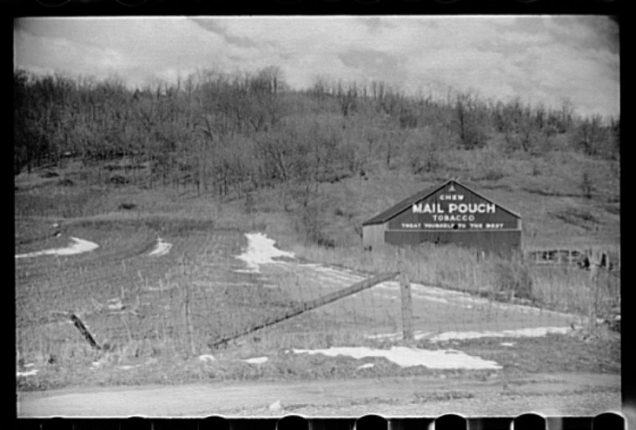
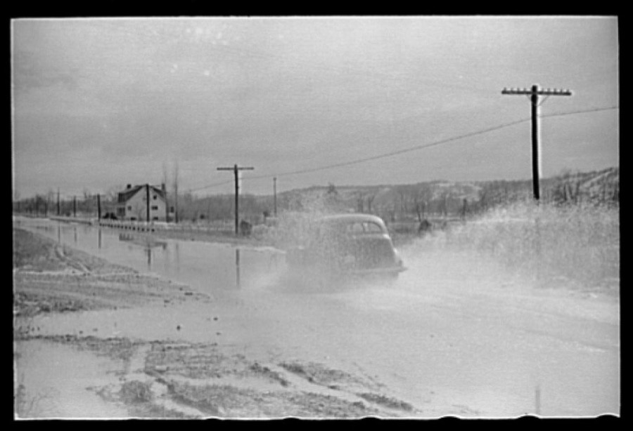
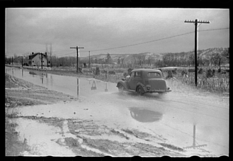
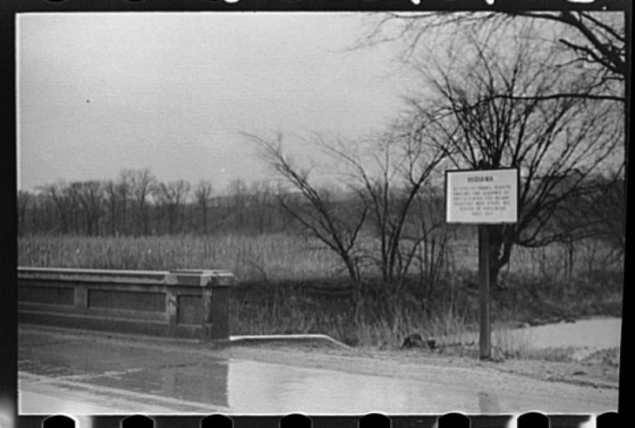
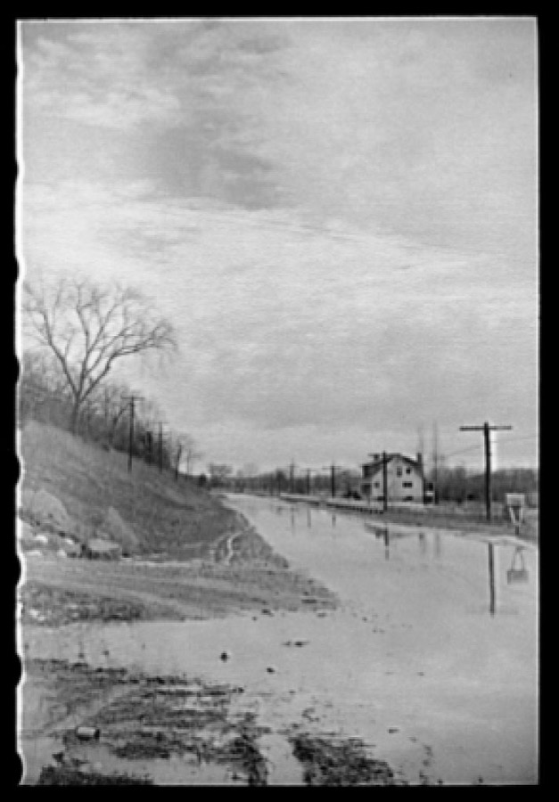
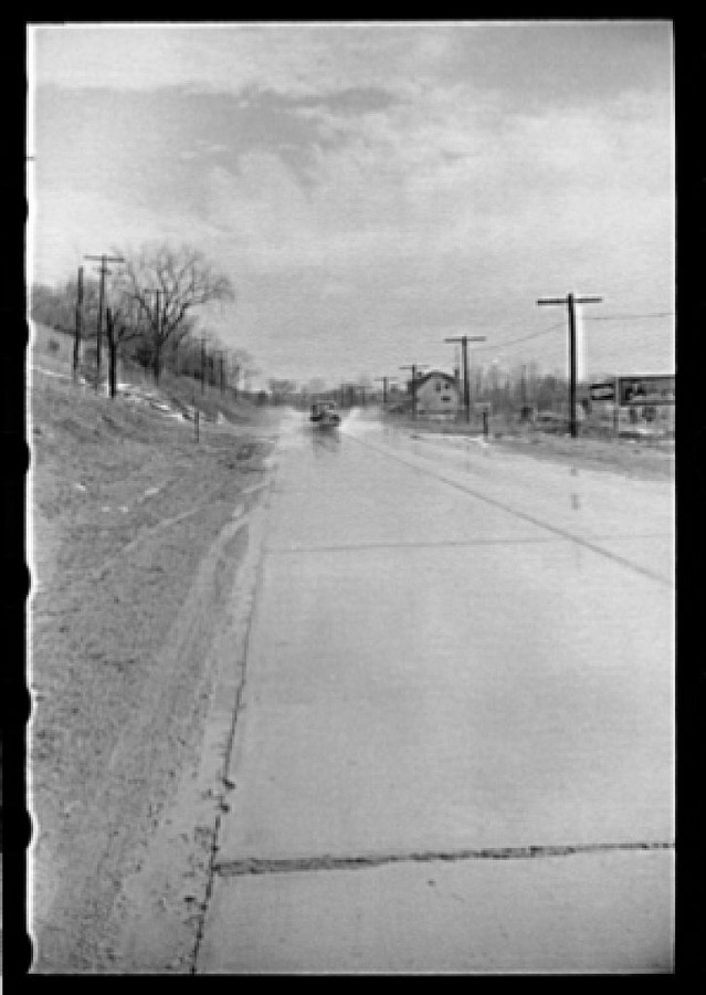
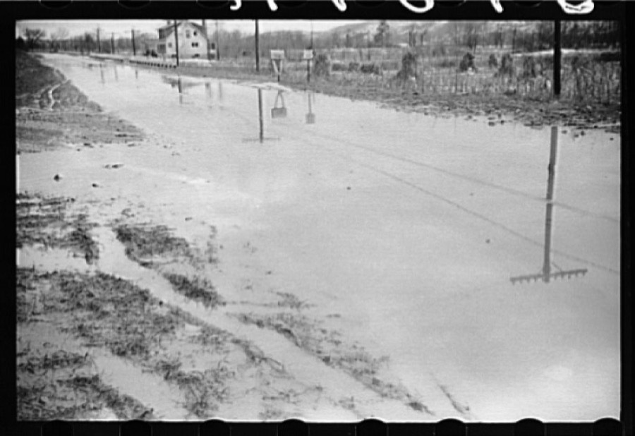
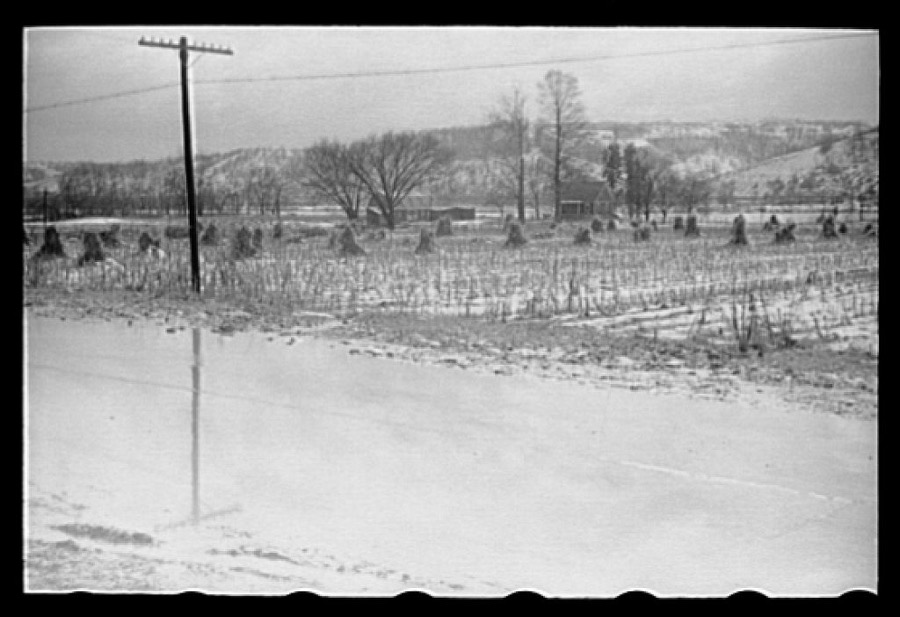
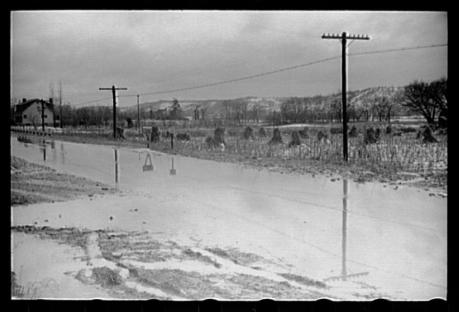
Taken for the Office of War Information and the Farm Security Administration, who photographed the country between 1935 and 1944. Works of United States government photographers, with no known restriction on use. Each opens its catalogue record.

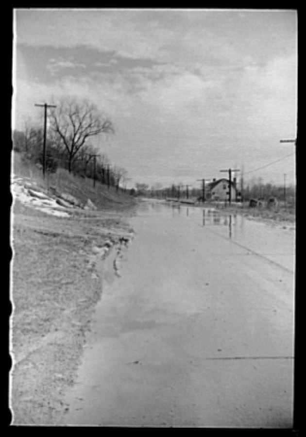
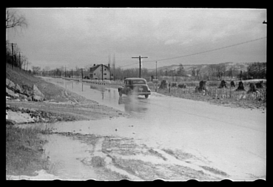
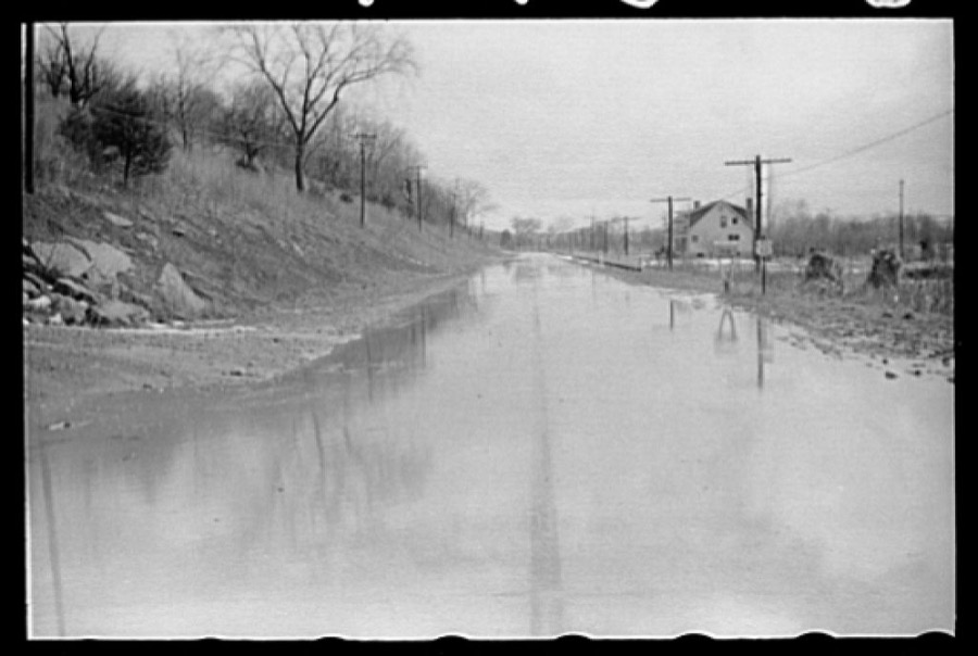
Water on highway due to melting snow, Clermont County, Ohio
Rothstein, Arthur, 1940. Library of Congress
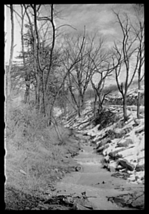
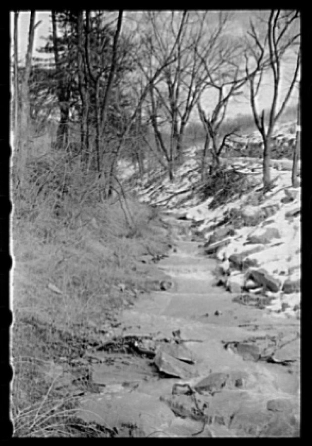
Melting snow fills up brook, Clermont County, Ohio
Rothstein, Arthur, 1940. Library of Congress
Water on highway due to melting snow, Clermont County, Ohio
Rothstein, Arthur, 1940. Library of Congress
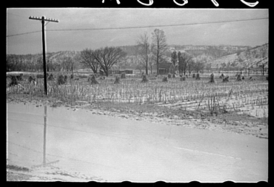
Snow melting in field, Clermont County, Ohio
Rothstein, Arthur, 1940. Library of Congress
Water on highway due to melting snow, Clermont County, Ohio
Rothstein, Arthur, 1940. Library of Congress
Water on highway due to melting snow, Clermont County, Ohio
Rothstein, Arthur, 1940. Library of Congress
Water on highway due to melting snow, Clermont County, Ohio
Rothstein, Arthur, 1940. Library of Congress
Water on highway due to melting snow, Clermont County, Ohio
Rothstein, Arthur, 1940. Library of Congress
Melting snow fills up brook, Clermont County, Ohio
Rothstein, Arthur, 1940. Library of Congress
Water on highway due to melting snow, Clermont County, Ohio
Rothstein, Arthur, 1940. Library of Congress
Water on highway due to melting snow, Clermont County, Ohio
Rothstein, Arthur, 1940. Library of Congress
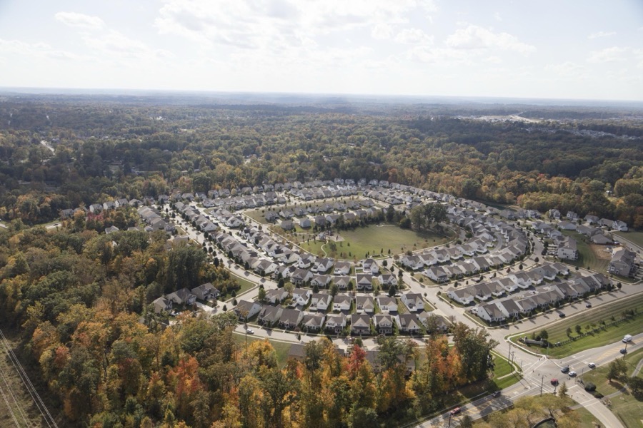
Aerial view of a suburban housing subdivision in Clermont County, Ohio, outside Cincinnati
Highsmith, Carol M, 2016. Library of Congress
Water on highway due to melting snow, Clermont County, Ohio
Rothstein, Arthur, 1940. Library of Congress
Water on highway due to melting snow, Clermont County, Ohio
Rothstein, Arthur, 1940. Library of Congress
Water on highway due to melting snow, Clermont County, Ohio
Rothstein, Arthur, 1940. Library of Congress
Water on highway due to melting snow, Clermont County, Ohio
Rothstein, Arthur, 1940. Library of Congress
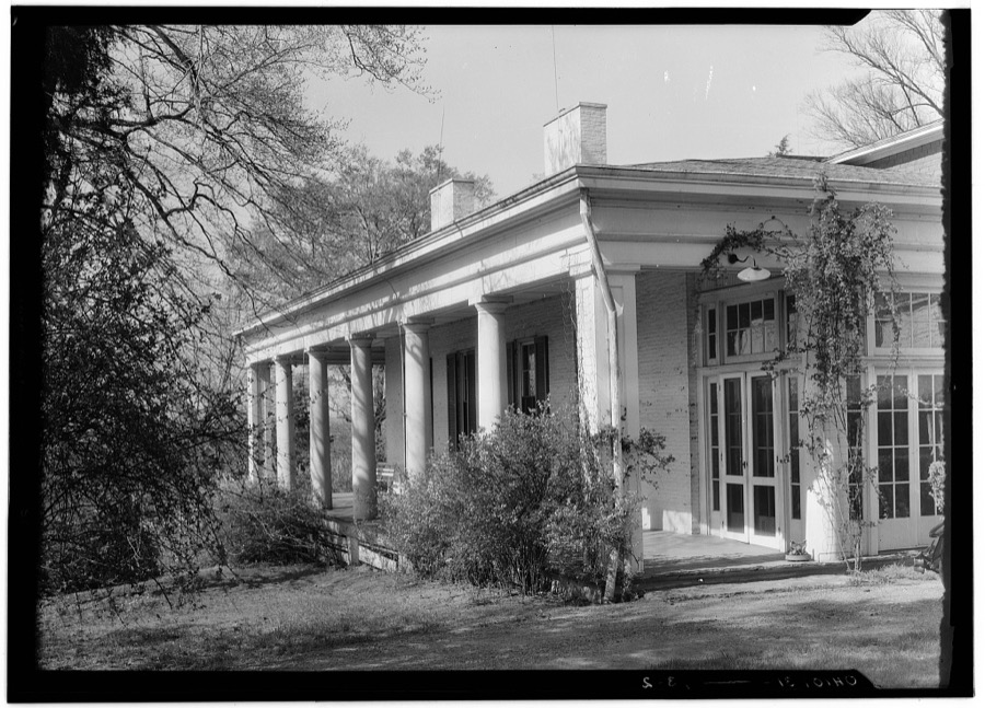
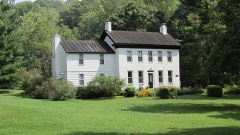
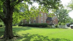
John Campbell Residence, Mount Carmel Road, Mount Carmel, Clermont County, OH
Unattributed, . Library of Congress
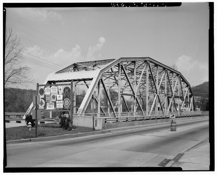
Milford Bridge, Spanning Little Miami River on U.S. 50, Milford, Clermont County, OH
Unattributed, . Library of Congress
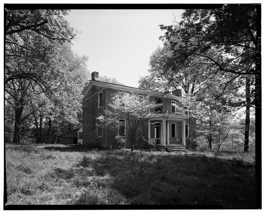
Pinkham House & Farm, Ohio State Route 125, Amelia-Bantam Road, Bantam, Clermont County, OH
Unattributed, . Library of Congress
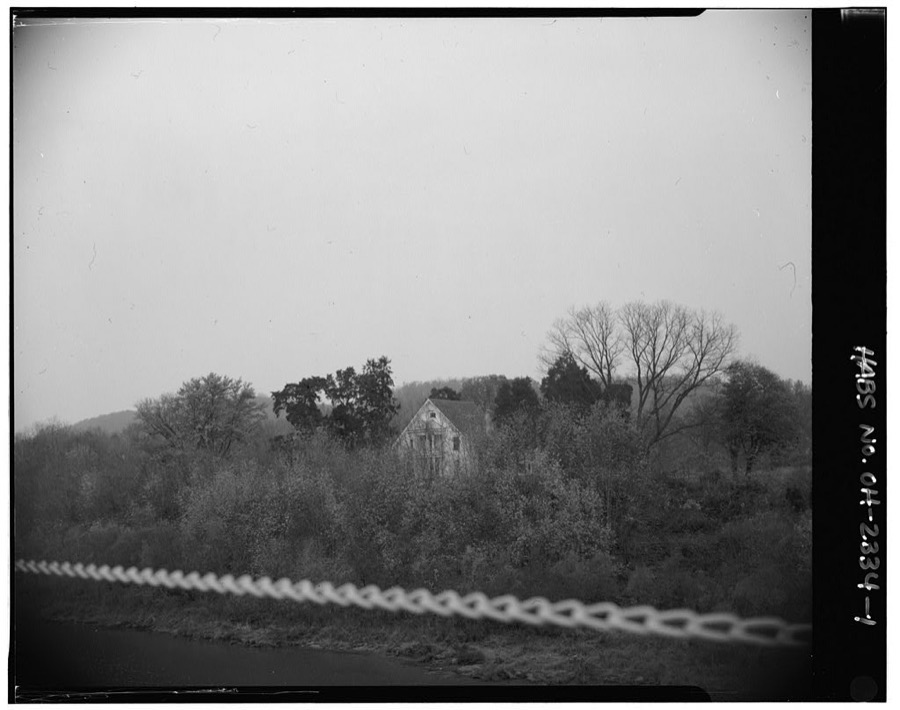
Hartshorn House, North bank of Ohio River, .5 mile west of Anthony Meldahl Locks & Dam, Neville, Clermont County, OH
Unattributed, . Library of Congress

Places on the National Register

15

Every property in this county listed on the National Register of Historic Places, with the year it was listed and the federal nomination document.

Photograph PropertyType ListedReference
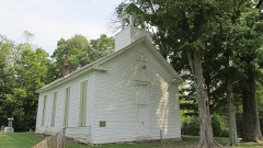
Bethel Methodist Churchbuilding197878002020
Gaskins-Malany Housebuilding197575001345
Harmony Hill Dairy Housebuilding200101000592
McKever, Lewis, Farmhousebuilding198282003555
New Richmond Water Works and Electric Stationbuilding199393001389
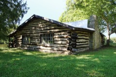
Pfarr Log Housebuilding197777001048
Pleasant Hillbuilding200808000112
Roas-Ilhardt Farm and Winerybuilding198282003553
Ross-Gowdy Housebuilding198282003554
Salt Housebuilding197676001382
Schafer Housebuilding197474001417
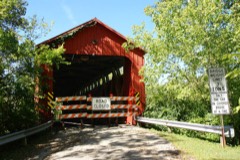
Stonelick Covered Bridgestructure197474001419
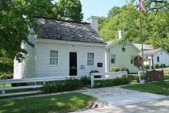
U.S. Grant Birthplace and Grant Commemorative Sites Historic Districtdistrict199898001013
Williams Housebuilding200202000704
Winter, William, Stone Housebuilding197777001049

Covered bridges

1

Clermont County holds 1 covered bridges on the National Register, more than any other property type here. Each is a listed structure with a federal nomination on file.

Stonelick Covered BridgeListed 1974, 0 map sheets show this crossing

Bird's-eye views and land ownership maps

1

Drawn when these were printed as single large sheets: the town seen from the air, and the county divided into its farms with every owner named. Each opens the original at the Library of Congress.

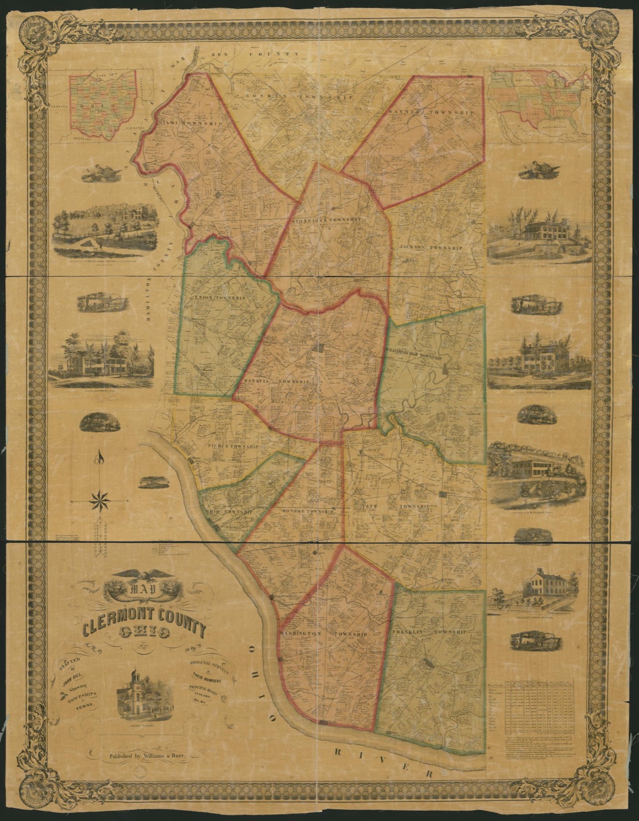
Land ownership map, 1857 - Map of Clermont County, Ohio
Land ownership map (1857) - Map of Clermont County, Ohio. Library of Congress.

Photographs from libraries nationwide

2 shown

Selected from the Digital Public Library of America's 2 image records catalogued for this county. Every one shown here carries a public-domain status or a licence that permits reuse on a site that carries advertising; non-commercial, share-alike and restricted images are excluded. The selection is spread across the county's towns (at most eight per town), so no single institution's bulk upload crowds out the rest. Each opens the holding library's record, and the complete set at the Digital Public Library of America is one click away.

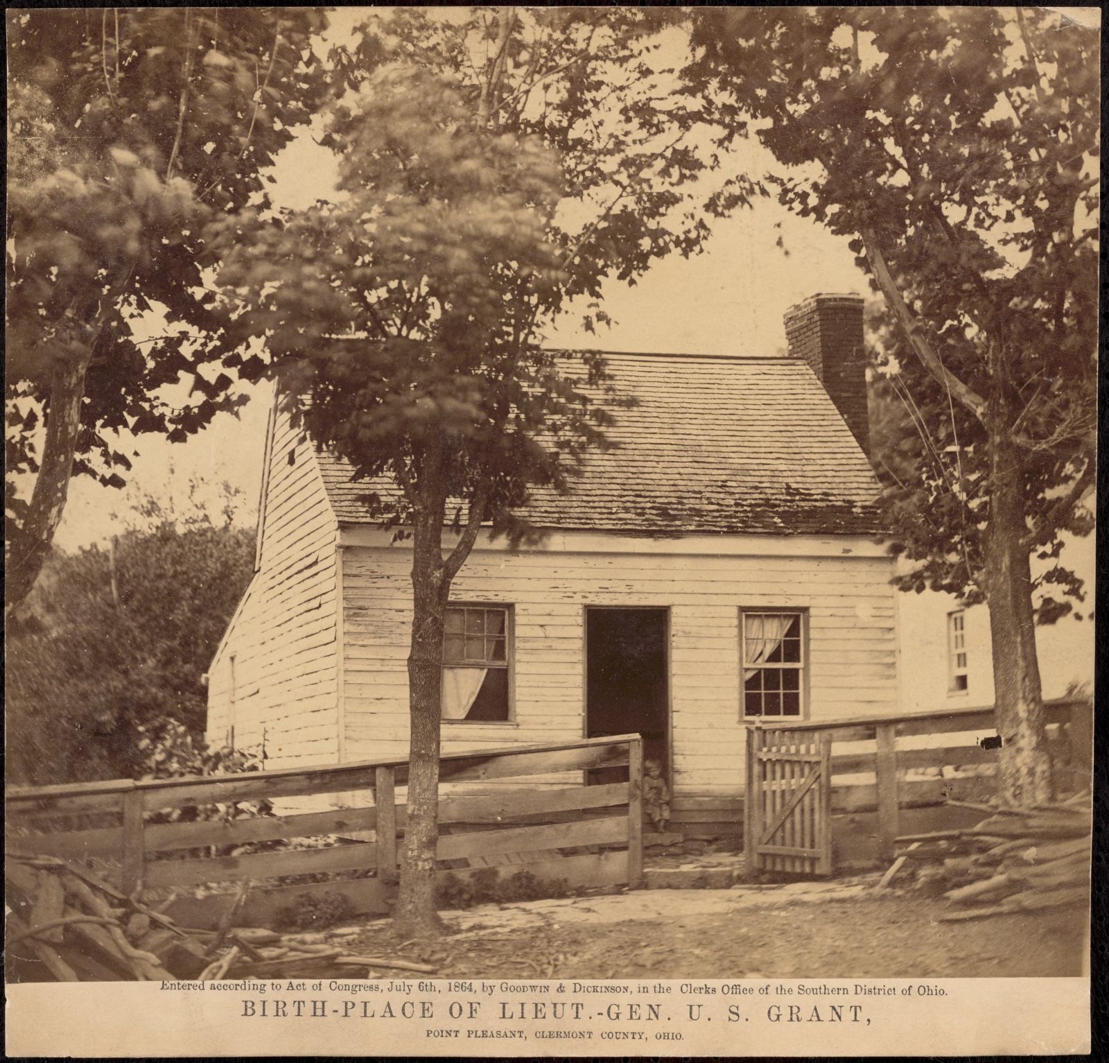
Birthplace of Lieut.-Gen. U.S. Grant, Point Pleasant, Clermont County, Ohio, Boston Public Library - undated
Birthplace of Lieut.-Gen. U.S. Grant, Point Pleasant, Clermont County, Ohio. Boston Public Library, via the Digital Public Library of America.
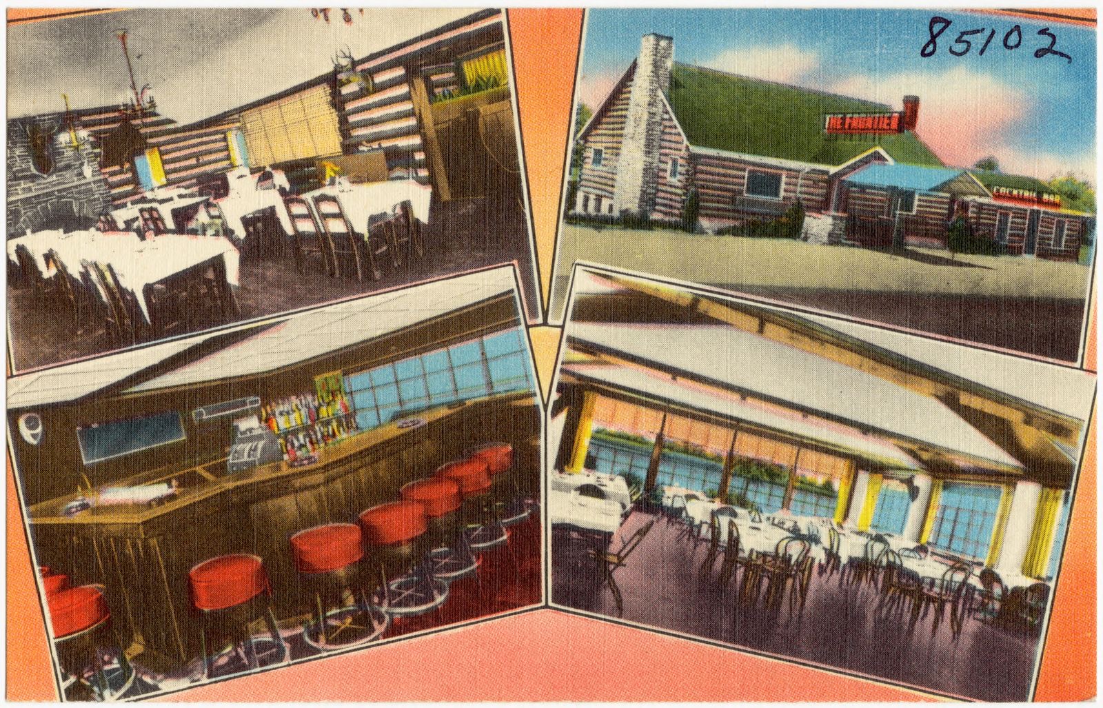
The Frontier, Boston Public Library - undated
The Frontier. Boston Public Library, via the Digital Public Library of America.

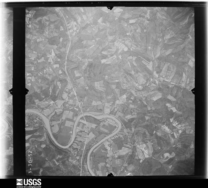
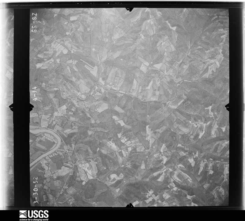
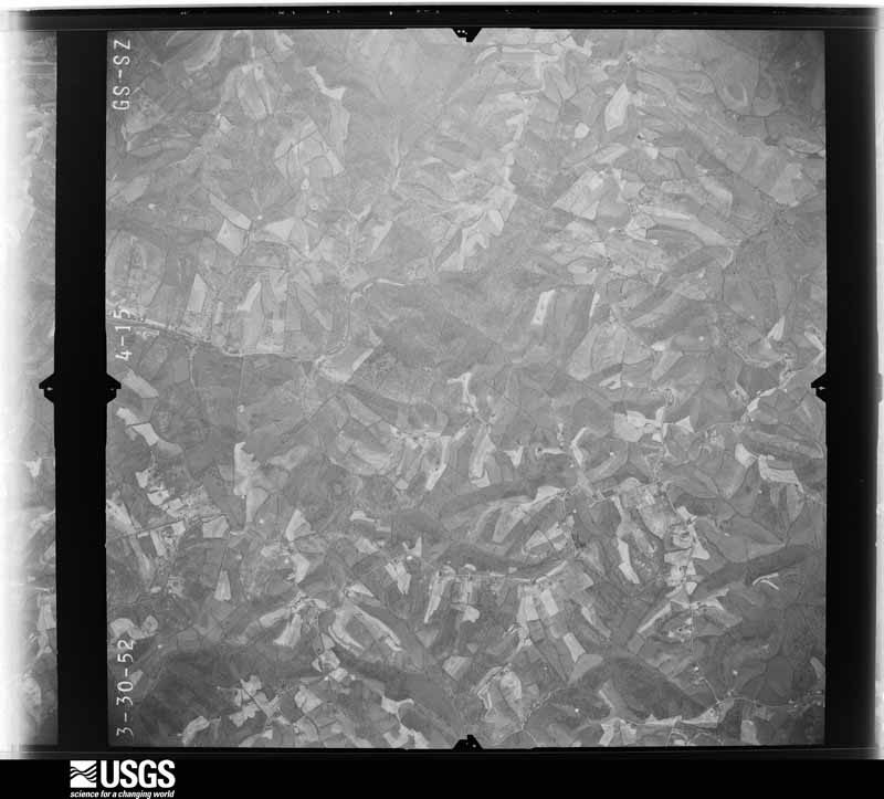
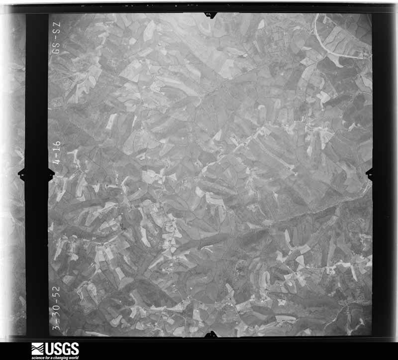
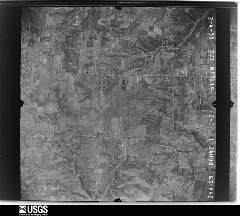
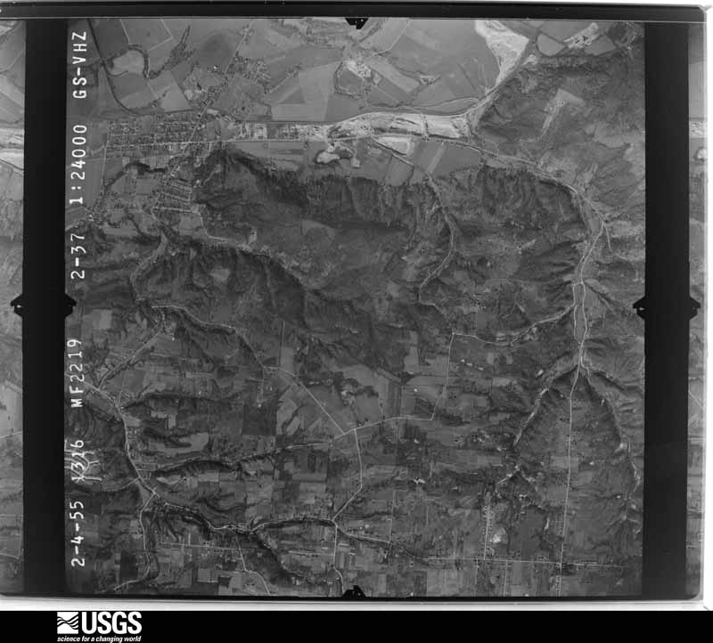
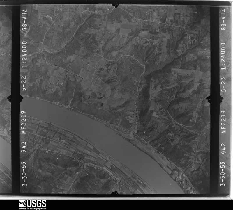
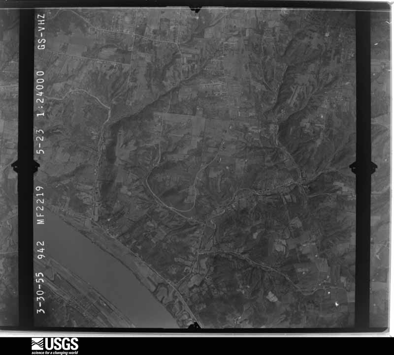
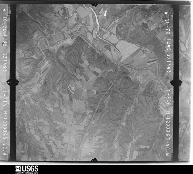
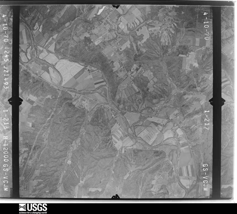
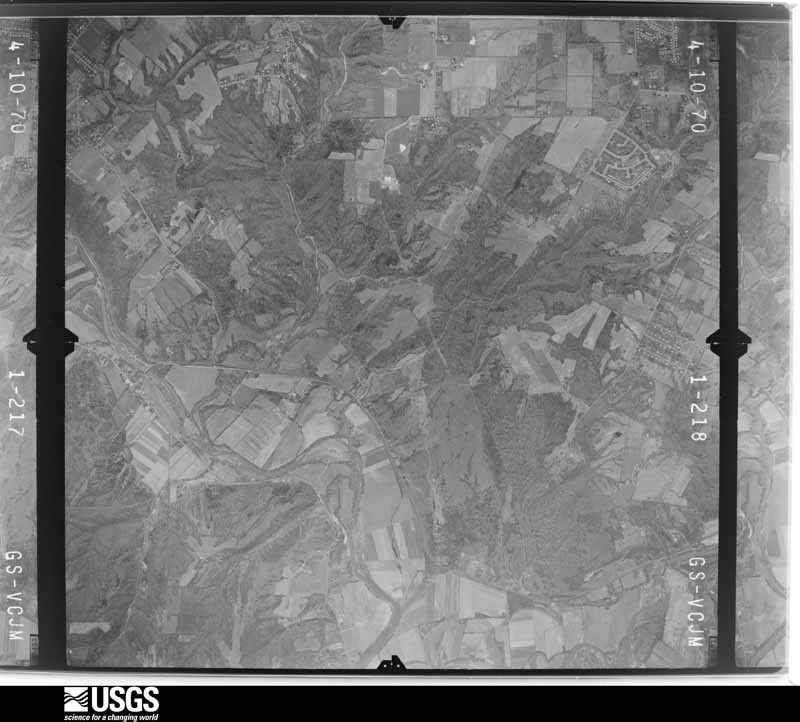
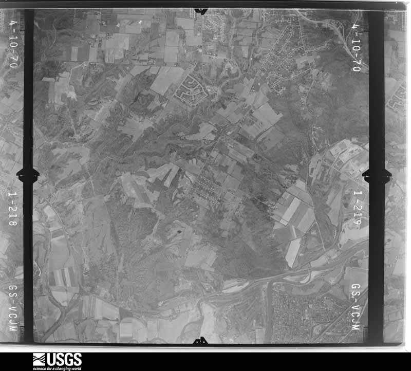
The county from the air

48 of 1,147 shown

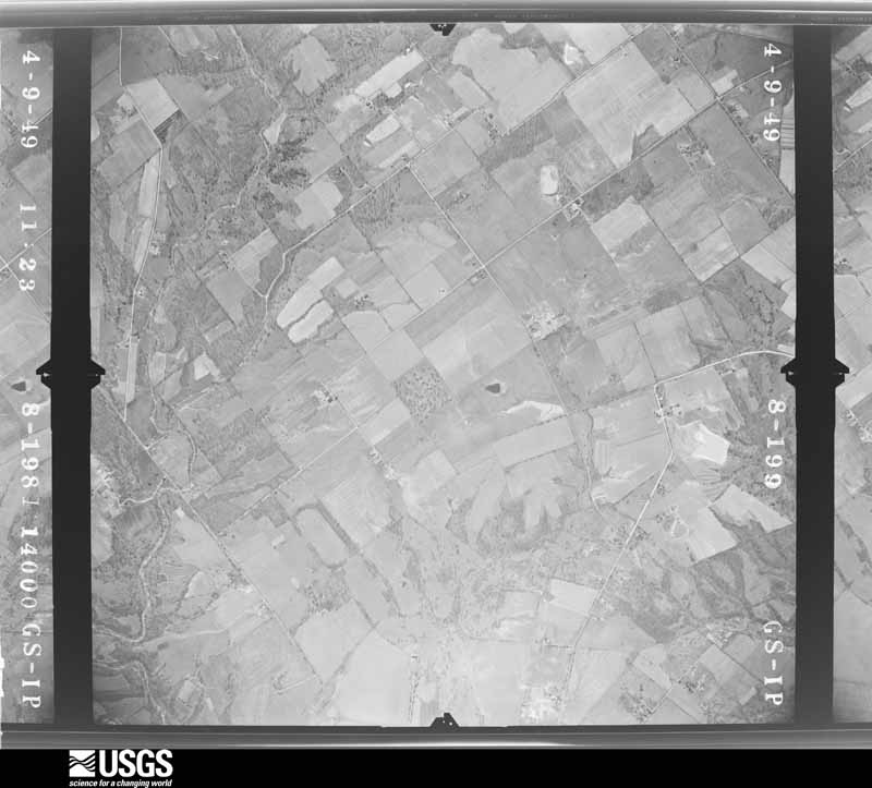
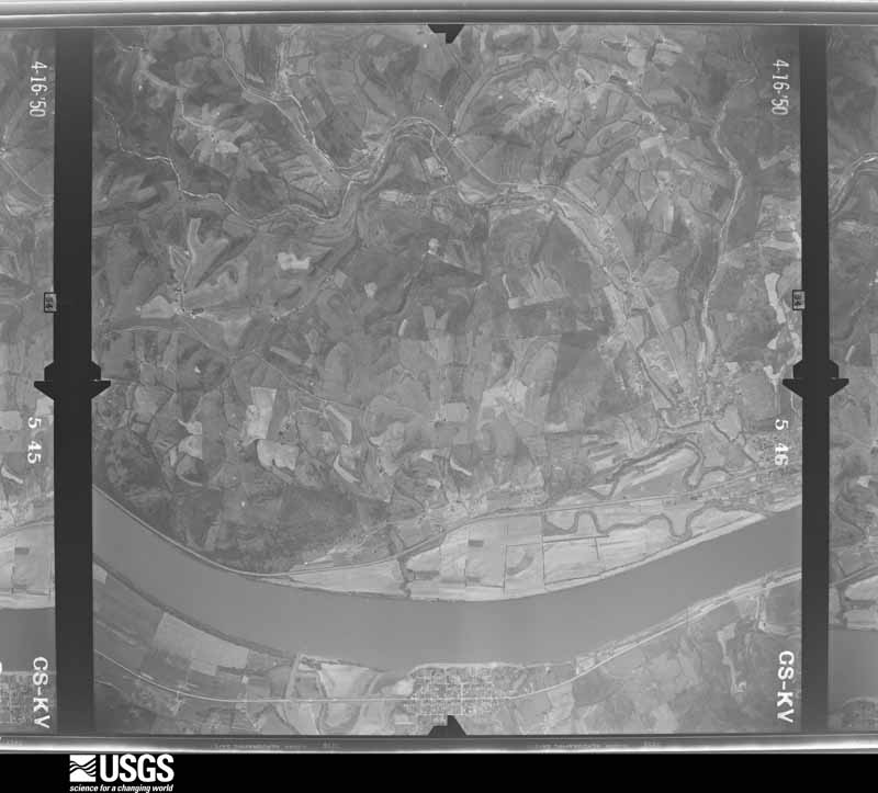
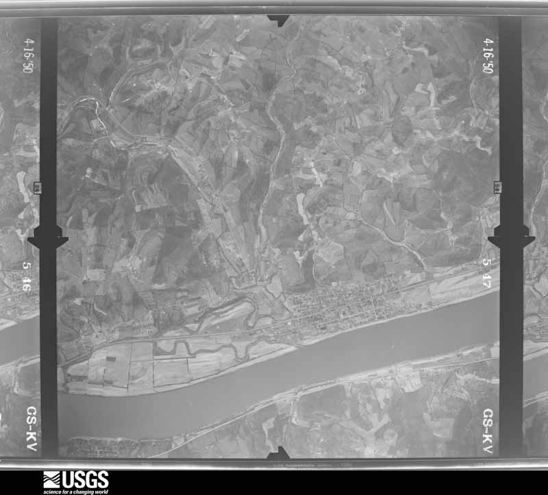
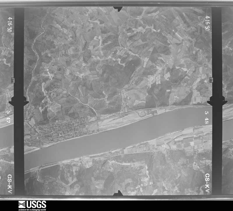
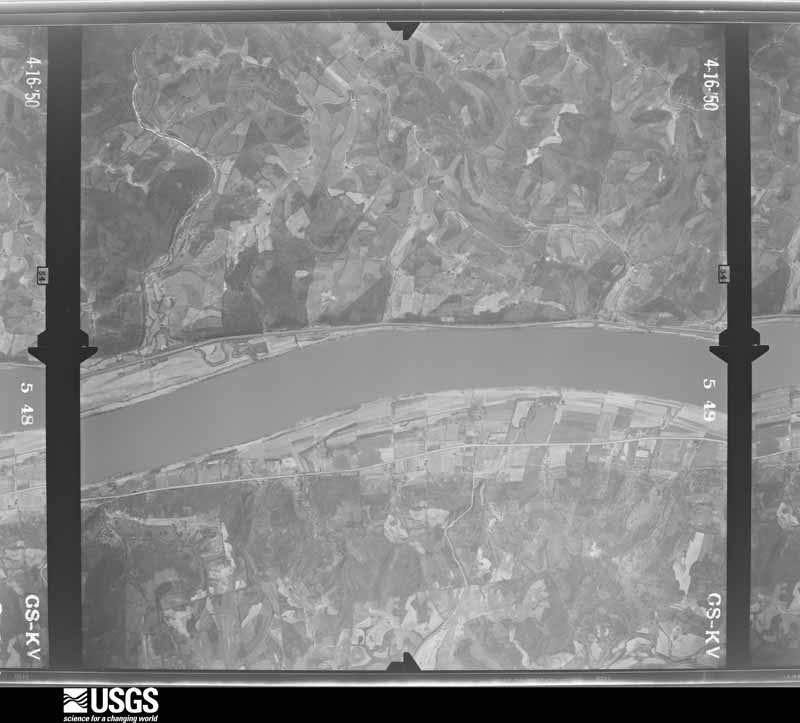
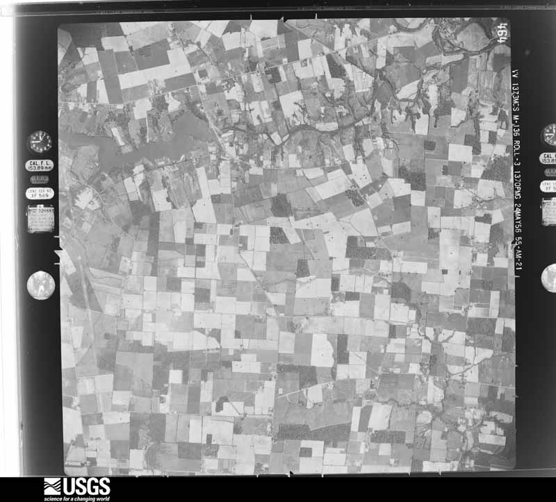
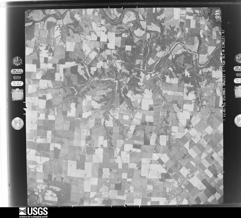
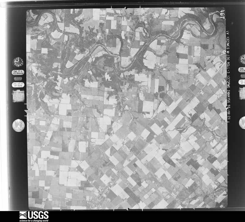
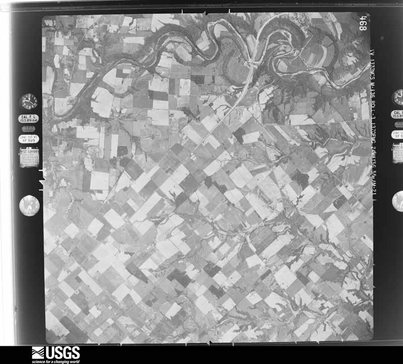
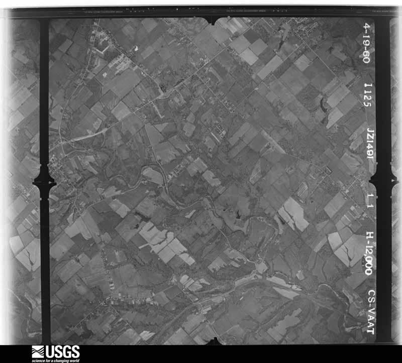
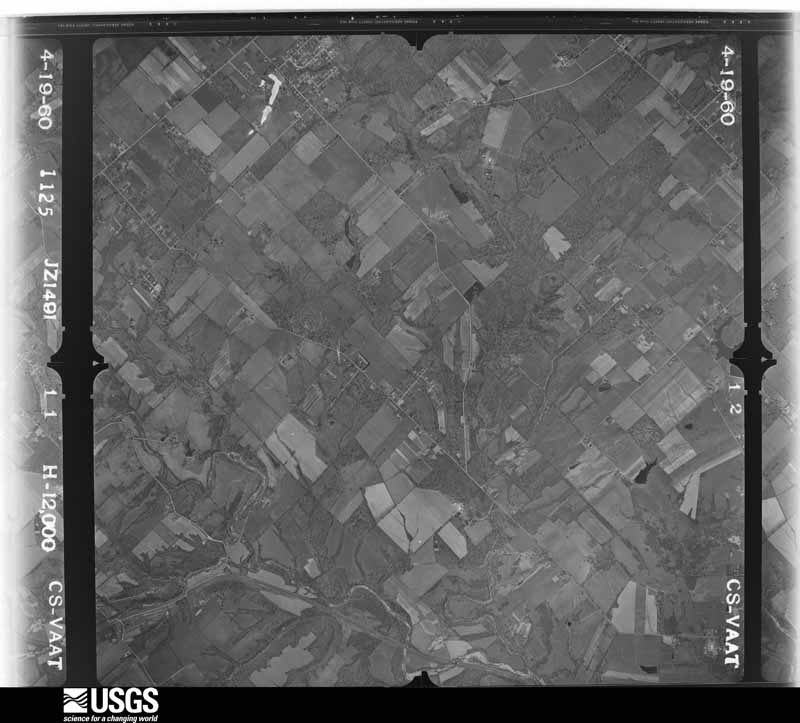
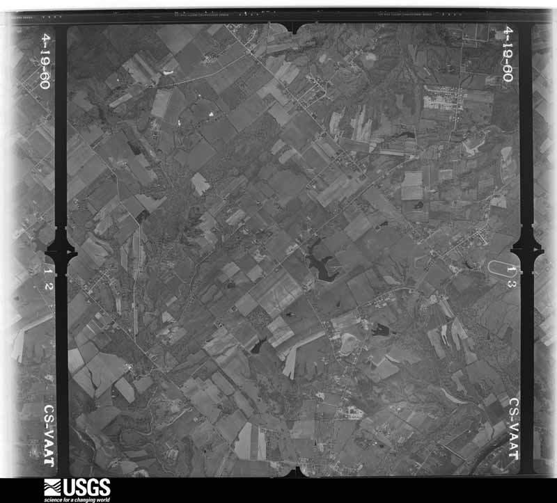
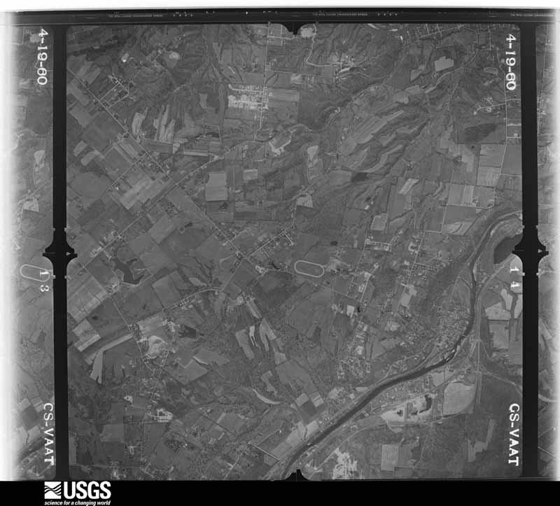
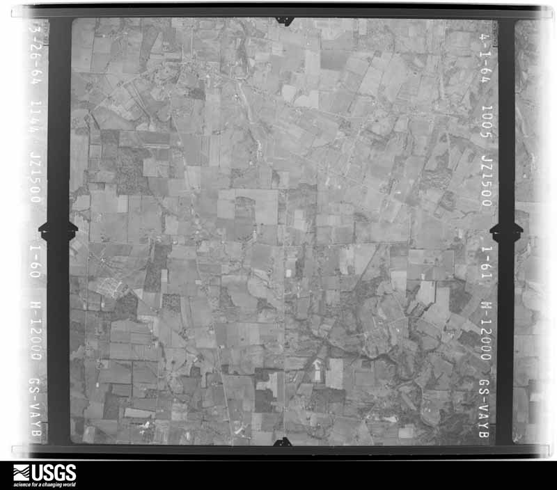
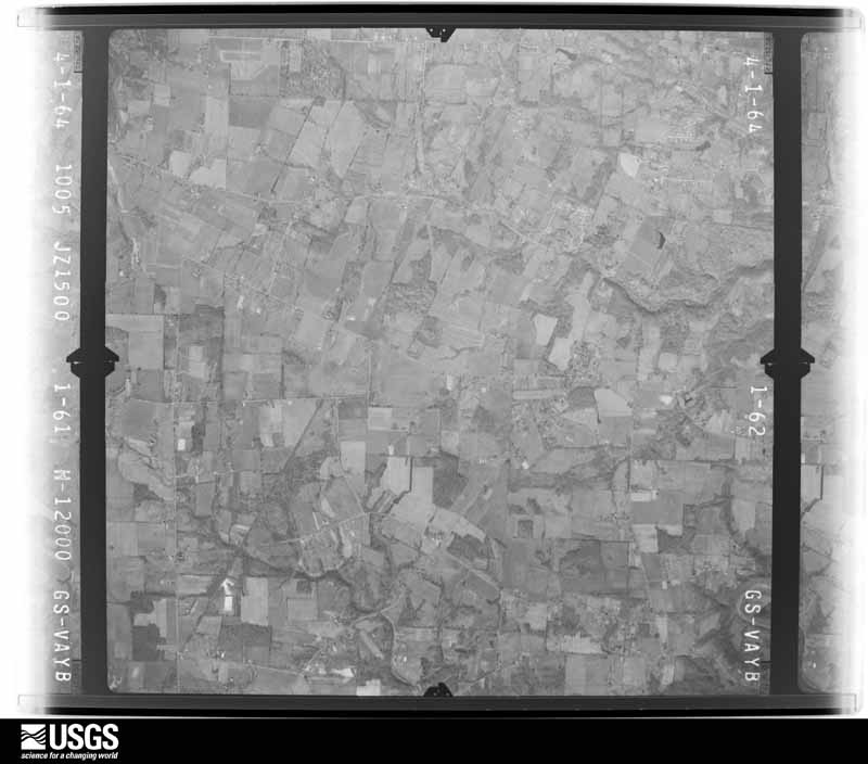
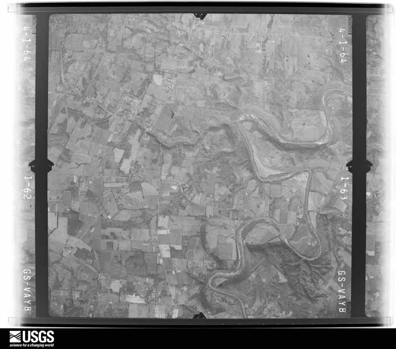
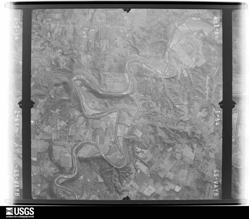
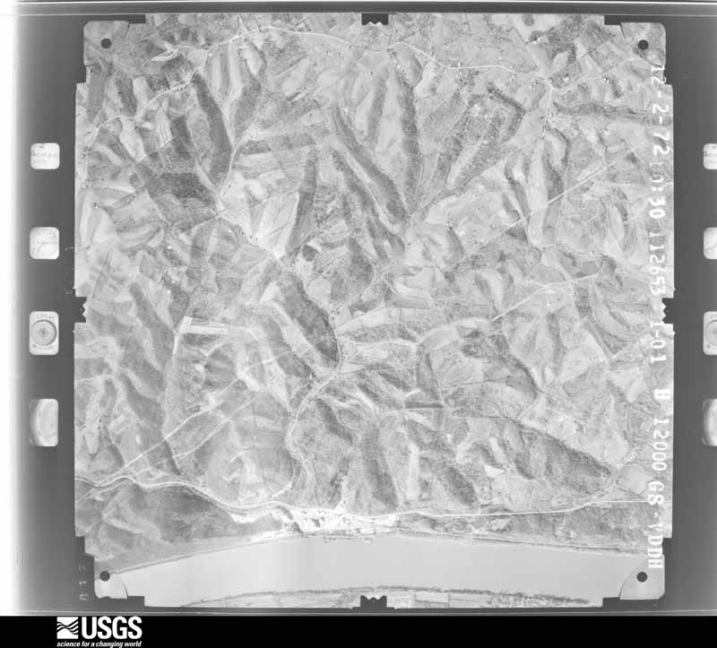
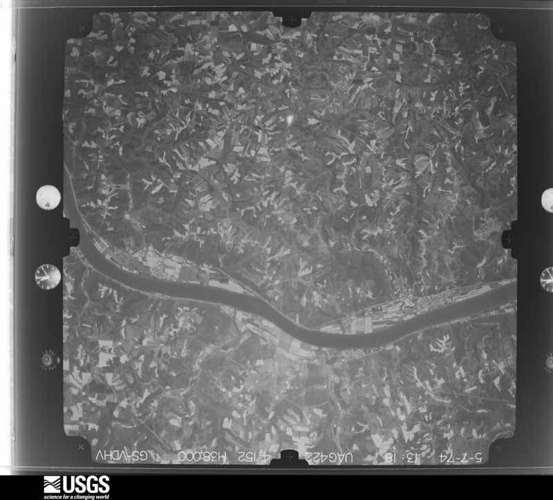
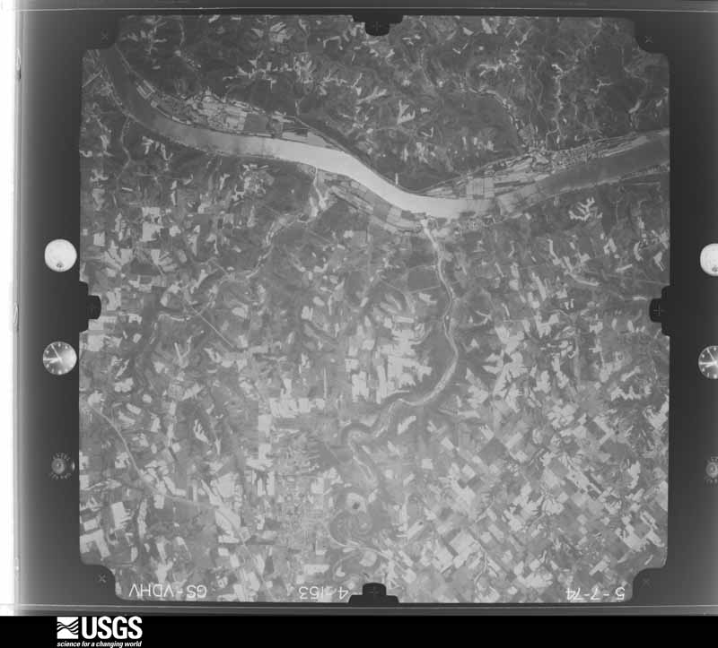
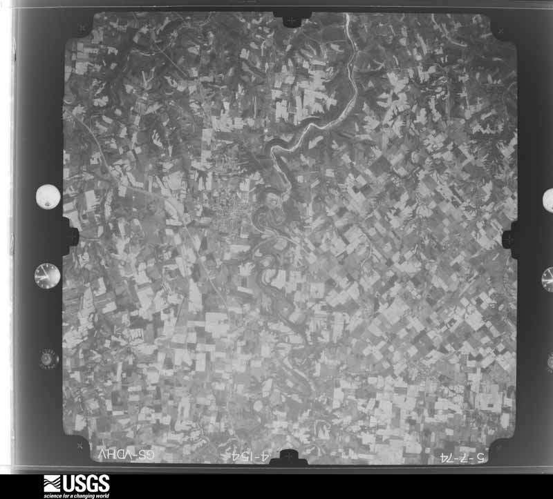
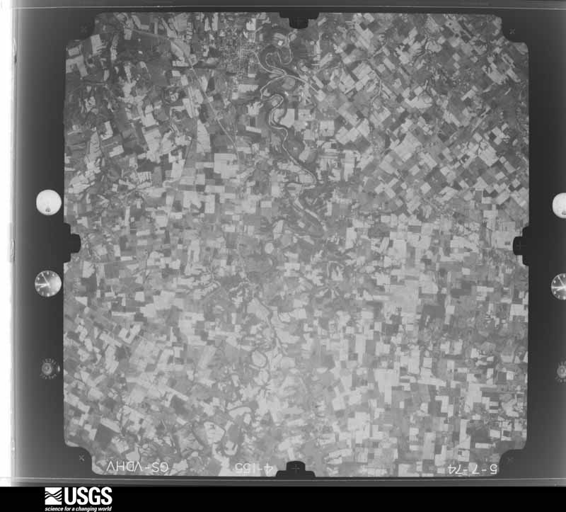
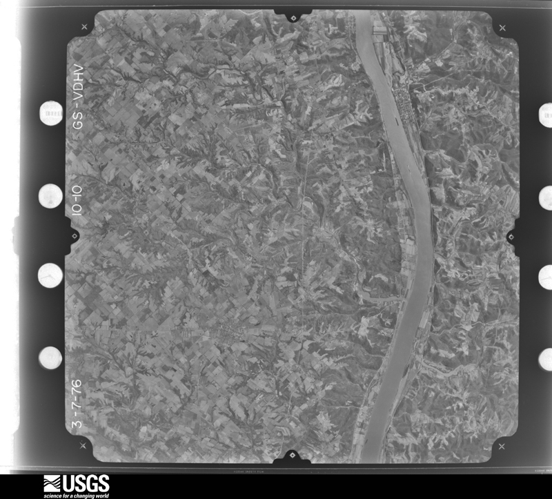
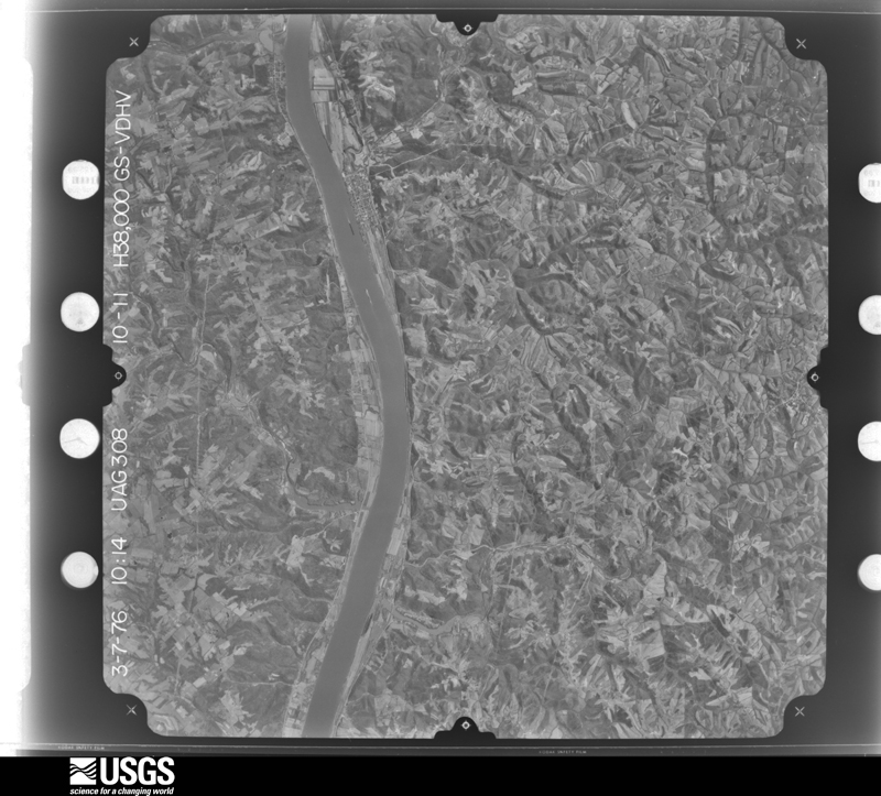
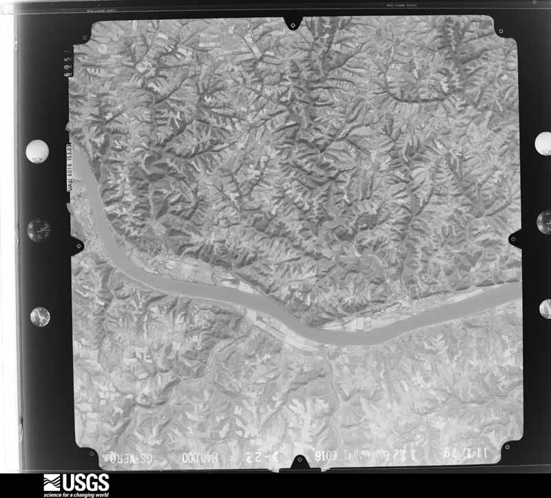
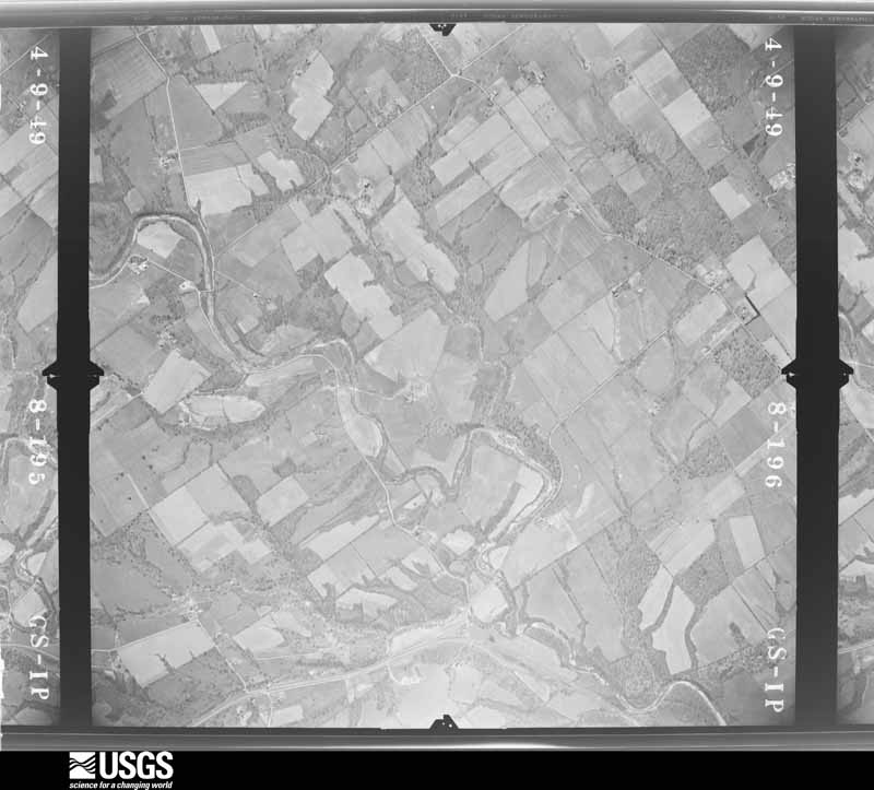
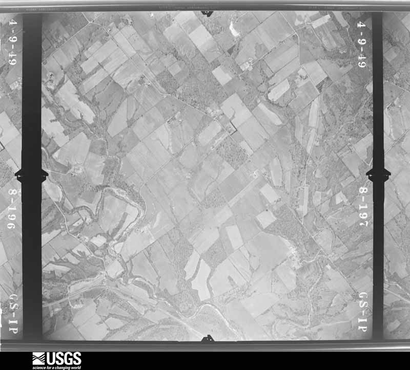
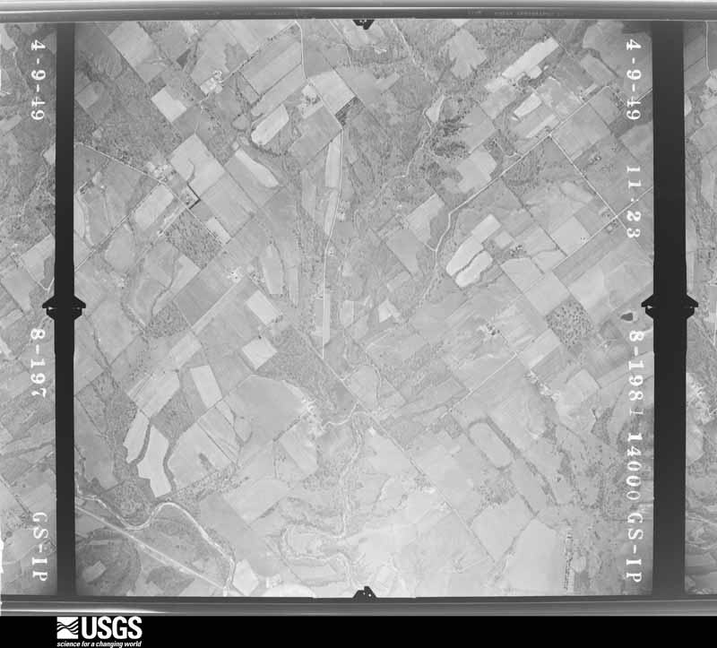
Flown by the U.S. Geological Survey between 1937 and 1989, the Aerial Photo Single Frames collection is the definitive mid-century view of the land: fields, roads and rivers as the camera saw them. 1,147 frames touch this county; the selection below spreads across the decades of flights (at most four per year), so one flight cannot crowd out the rest. The full set is free to browse and download at EarthExplorer under the dataset Aerial Photo Single Frames.

U.S. Geological Survey aerial photograph, 1949-05-03, scale 1:14000
1949-05-03, scale 1:14000. U.S. Geological Survey aerial photograph.
U.S. Geological Survey aerial photograph, 1949-05-03, scale 1:14000
1949-05-03, scale 1:14000. U.S. Geological Survey aerial photograph.
U.S. Geological Survey aerial photograph, 1949-05-03, scale 1:14000
1949-05-03, scale 1:14000. U.S. Geological Survey aerial photograph.
U.S. Geological Survey aerial photograph, 1949-05-03, scale 1:14000
1949-05-03, scale 1:14000. U.S. Geological Survey aerial photograph.
U.S. Geological Survey aerial photograph, 1950-06-01, scale 1:23600
1950-06-01, scale 1:23600. U.S. Geological Survey aerial photograph.
U.S. Geological Survey aerial photograph, 1950-06-01, scale 1:23600
1950-06-01, scale 1:23600. U.S. Geological Survey aerial photograph.
U.S. Geological Survey aerial photograph, 1950-06-01, scale 1:23600
1950-06-01, scale 1:23600. U.S. Geological Survey aerial photograph.
U.S. Geological Survey aerial photograph, 1950-06-01, scale 1:23600
1950-06-01, scale 1:23600. U.S. Geological Survey aerial photograph.
U.S. Geological Survey aerial photograph, 1952-04-01, scale 1:23600
1952-04-01, scale 1:23600. U.S. Geological Survey aerial photograph.
U.S. Geological Survey aerial photograph, 1952-04-01, scale 1:23600
1952-04-01, scale 1:23600. U.S. Geological Survey aerial photograph.
U.S. Geological Survey aerial photograph, 1952-04-01, scale 1:23600
1952-04-01, scale 1:23600. U.S. Geological Survey aerial photograph.
U.S. Geological Survey aerial photograph, 1952-04-01, scale 1:23600
1952-04-01, scale 1:23600. U.S. Geological Survey aerial photograph.
U.S. Geological Survey aerial photograph, 1955-01-01, scale 1:24000
1955-01-01, scale 1:24000. U.S. Geological Survey aerial photograph.
U.S. Geological Survey aerial photograph, 1955-01-01, scale 1:24000
1955-01-01, scale 1:24000. U.S. Geological Survey aerial photograph.
U.S. Geological Survey aerial photograph, 1955-01-01, scale 1:24000
1955-01-01, scale 1:24000. U.S. Geological Survey aerial photograph.
U.S. Geological Survey aerial photograph, 1955-01-01, scale 1:24000
1955-01-01, scale 1:24000. U.S. Geological Survey aerial photograph.
U.S. Geological Survey aerial photograph, 1956-05-24, scale 1:30000
1956-05-24, scale 1:30000. U.S. Geological Survey aerial photograph.
U.S. Geological Survey aerial photograph, 1956-05-24, scale 1:30000
1956-05-24, scale 1:30000. U.S. Geological Survey aerial photograph.
U.S. Geological Survey aerial photograph, 1956-05-24, scale 1:30000
1956-05-24, scale 1:30000. U.S. Geological Survey aerial photograph.
U.S. Geological Survey aerial photograph, 1956-05-24, scale 1:30000
1956-05-24, scale 1:30000. U.S. Geological Survey aerial photograph.
U.S. Geological Survey aerial photograph, 1960-04-01, scale 1:24000
1960-04-01, scale 1:24000. U.S. Geological Survey aerial photograph.
U.S. Geological Survey aerial photograph, 1960-04-01, scale 1:24000
1960-04-01, scale 1:24000. U.S. Geological Survey aerial photograph.
U.S. Geological Survey aerial photograph, 1960-04-01, scale 1:24000
1960-04-01, scale 1:24000. U.S. Geological Survey aerial photograph.
U.S. Geological Survey aerial photograph, 1960-04-01, scale 1:24000
1960-04-01, scale 1:24000. U.S. Geological Survey aerial photograph.
U.S. Geological Survey aerial photograph, 1964-04-15, scale 1:24000
1964-04-15, scale 1:24000. U.S. Geological Survey aerial photograph.
U.S. Geological Survey aerial photograph, 1964-04-15, scale 1:24000
1964-04-15, scale 1:24000. U.S. Geological Survey aerial photograph.
U.S. Geological Survey aerial photograph, 1964-04-15, scale 1:24000
1964-04-15, scale 1:24000. U.S. Geological Survey aerial photograph.
U.S. Geological Survey aerial photograph, 1964-04-15, scale 1:24000
1964-04-15, scale 1:24000. U.S. Geological Survey aerial photograph.
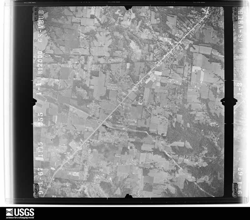
U.S. Geological Survey aerial photograph, 1967-09-01, scale 1:24000
1967-09-01, scale 1:24000. U.S. Geological Survey aerial photograph.
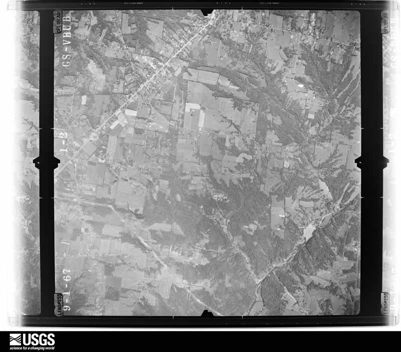
U.S. Geological Survey aerial photograph, 1967-09-01, scale 1:24000
1967-09-01, scale 1:24000. U.S. Geological Survey aerial photograph.
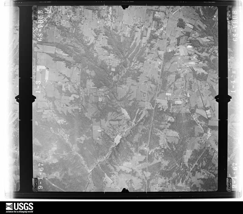
U.S. Geological Survey aerial photograph, 1967-09-01, scale 1:24000
1967-09-01, scale 1:24000. U.S. Geological Survey aerial photograph.
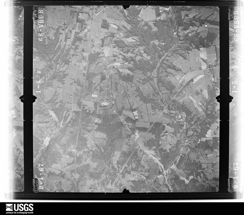
U.S. Geological Survey aerial photograph, 1967-09-01, scale 1:24000
1967-09-01, scale 1:24000. U.S. Geological Survey aerial photograph.
U.S. Geological Survey aerial photograph, 1970-04-10, scale 1:24000
1970-04-10, scale 1:24000. U.S. Geological Survey aerial photograph.
U.S. Geological Survey aerial photograph, 1970-04-10, scale 1:24000
1970-04-10, scale 1:24000. U.S. Geological Survey aerial photograph.
U.S. Geological Survey aerial photograph, 1970-04-10, scale 1:24000
1970-04-10, scale 1:24000. U.S. Geological Survey aerial photograph.
U.S. Geological Survey aerial photograph, 1970-04-10, scale 1:24000
1970-04-10, scale 1:24000. U.S. Geological Survey aerial photograph.
U.S. Geological Survey aerial photograph, 1972-09-19, scale 1:134000
1972-09-19, scale 1:134000. U.S. Geological Survey aerial photograph.
U.S. Geological Survey aerial photograph, 1972-09-19, scale 1:129000
1972-09-19, scale 1:129000. U.S. Geological Survey aerial photograph.
U.S. Geological Survey aerial photograph, 1972-09-19, scale 1:127000
1972-09-19, scale 1:127000. U.S. Geological Survey aerial photograph.
U.S. Geological Survey aerial photograph, 1972-12-02, scale 1:24000
1972-12-02, scale 1:24000. U.S. Geological Survey aerial photograph.
U.S. Geological Survey aerial photograph, 1974-05-01, scale 1:76000
1974-05-01, scale 1:76000. U.S. Geological Survey aerial photograph.
U.S. Geological Survey aerial photograph, 1974-05-01, scale 1:76000
1974-05-01, scale 1:76000. U.S. Geological Survey aerial photograph.
U.S. Geological Survey aerial photograph, 1974-05-01, scale 1:76000
1974-05-01, scale 1:76000. U.S. Geological Survey aerial photograph.
U.S. Geological Survey aerial photograph, 1974-05-01, scale 1:76000
1974-05-01, scale 1:76000. U.S. Geological Survey aerial photograph.
U.S. Geological Survey aerial photograph, 1976-03-07, scale 1:76000
1976-03-07, scale 1:76000. U.S. Geological Survey aerial photograph.
U.S. Geological Survey aerial photograph, 1976-03-07, scale 1:76000
1976-03-07, scale 1:76000. U.S. Geological Survey aerial photograph.
U.S. Geological Survey aerial photograph, 1976-03-07, scale 1:76000
1976-03-07, scale 1:76000. U.S. Geological Survey aerial photograph.
U.S. Geological Survey aerial photograph, 1979-11-01, scale 1:80000
1979-11-01, scale 1:80000. U.S. Geological Survey aerial photograph.

City directories

2 volumes

The "who lived here, by year" answer: pre-1929 public-domain directory volumes naming the county's people, machine-read and searchable as text.

Weather records

28 stations, 33 gages

The thermometers that kept this county's weather, and the gages that watched its rivers, as the federal records hold them. The extremes below are measured values from those records, not estimates.

The 1950 census, district by district

51 districts

Who lived here in 1950, one enumeration district at a time, as the Census Bureau described each district. Each row opens its official National Archives result, with Population Schedules and ED Maps available there.

  • 13-1Amelia village, comprising parts of Batavia and Pierce townships: Amelia village - That part in Batavia township
  • 13-2Amelia village - That part in Pierce township
  • 13-3Batavia township, outside Amelia village: Batavia village: Batavia village - That part Bounded by Village limits; Village limits; North, Seventh, Main, Village limits; Village limits
  • 13-4Batavia village - That part Bounded by Main, Seventh, North; Village limits; Village limits; Village limits
  • 13-5Batavia township - That part northeast of East Fork of the Little Miami River, outside Batavia village
  • 13-6Batavia township - That part southwest of East Fork of the Little Miami River, outside Amelia and Batavia villages (Remainder of Batavia township is in Amelia village)
  • 13-7Franklin township: Felicity village
  • 13-8Franklin township - That part north of State Hwy. 756, outside Felicity village
  • 13-9Franklin township - That part south of State Hwy. 756, outside Felicity village
  • 13-10Goshen township: Goshen township - That part east of State Hwy. 132
  • 13-11Goshen township - That part west of State Hwy. 132
  • 13-12Jackson township
  • 13-13Miami township: Loveland village - That part in Clermont County comprising part of Miami township: Loveland village - That part Bounded by County line; Village limits; Paxton Rd., Way East; Second
  • 13-14Loveland village - That part Bounded by County line; Second, Way East, Paxton Rd.; Village limits; County line (Remainder of Loveland village is in Symmes township, Hamilton County, and Hamilton township, Warren County)
  • 13-15Milford village - That part in Clermont County comprising part of Miami township: Milford village - That part Bounded by Village limits; Village limits; Garfield Ave.; Main, High, Lila Ave., Forest Ave.
  • 13-16Milford village - That part Bounded by Village limits; Forest Ave., Lila Ave., High, Main; Garfield Ave., Water, Mill; County line, Village limits
  • 13-17Milford village - That part Bounded by Mill, Water, Garfield Ave.; Village limits; Village limits; County line (Remainder of Milford village is in Columbia township, Hamilton County)
  • 13-18Miami township - That part northwest of State Hwy. 28 and northeast of an unnamed road running generally northwest from its junction with State Hwy. 28 to the county line, outside Loveland village
  • 13-19Miami township - That part northwest of State Hwy. 28 and southwest of an unnamed road running generally northwest from its junction with State Hwy. 28 to the county line, outside Milford village
  • 13-20Miami township - That part southeast of State Hwy. 28, outside Milford village, excluding Novitiate of the Sacred Heart of the Society of Jesus
  • 13-21Novitiate of the Sacred Heart of the Society of Jesus (In Miami township)
  • 13-22Monroe township: Monroe township - That part north of New Richmond - Bethel Rd.
  • 13-23Monroe township - That part south of New Richmond - Bethel Rd.
  • 13-24Ohio township: New Richmond village: New Richmond village - That part Bounded by Village limits; Village limits; Walnut, High, Union; Market
  • 13-25New Richmond village - That part Bounded by Village limits; Market; Union; Village limits
  • 13-26New Richmond village - That part Bounded by Union, High, Walnut; Village limits; Village limits; Village limits
  • 13-27Ohio township - That part outside New Richmond village
  • 13-28Pierce township, outside Amelia village: Pierce township - That part north of State Hwy. 749 and northeast of U.S. Hwy. 52, outside Amelia village
  • 13-29Pierce township - That part south of State Hwy. 749 and southwest of U.S. Hwy. 52 (Remainder of Pierce township is in Amelia village)
  • 13-30Stonelick township: Owensville village
  • 13-31Stonelick township - That part east of State Hwy. 132, outside Owensville village
  • 13-32Stonelick township - That part west of State Hwy. 132, outside Owensville village
  • 13-33N/A
  • 13-34N/A
  • 13-35Tate township - That part north of State Hwy. 125, outside Bethel village
  • 13-36Tate township - That part south of State Hwy. 125 and west of State Hwy. 133, outside Bethel village
  • 13-37Tate township - That part south of State Hwy. 125 and east of State Hwy. 133, outside Bethel village
  • 13-38Union township: Union township - That part north of State Hwy. 74
  • 13-39Union township - That part north of State Hwy. 125 and south of State Hwy. 74
  • 13-40Union township - That part south of State Hwy. 125
  • 13-41Washington township: Moscow village
  • 13-42Neville village
  • 13-43Washington township - That part north of State Hwy. 756
  • 13-44Washington township - That part south of State Hwy. 756, outside Moscow and Neville villages
  • 13-45Wayne township: Newtonsville village
  • 13-46Wayne township - That part east of State Hwy. 133
  • 13-47Wayne township - That part west of State Hwy. 133, outside Newtonsville village
  • 13-48Williamsburg township: Williamsburg village: Williamsburg village - That part Bounded by Village limits; Village limits; Village limits; Gay, Third, Main
  • 13-49Williamsburg village - That part Bounded by Village limits; Main, Third, Gay; Village limits; Village limits
  • 13-50Williamsburg township - That part north of State Hwy. 74, outside Williamsburg village
  • 13-51Williamsburg township - That part south of State Hwy. 74, outside Williamsburg village

Businesses named in the atlases

23 businesses

Every Sanborn volume opens with a printed index naming the town's mills, tanneries, hotels and works by proprietor. Those indexes were read off the scanned sheets by machine and then matched to each other, so a business surveyed four times appears here once, with the years it survived. 5 of these 23 were named in more than one atlas. Each carries a crop of the line it was read from: the spelling is the recogniser's and the 1880s lithographer's, and the scan behind it is the proof.

Wildfire, 2002 to 2002

1 fires

Every wildfire the federal occurrence database records inside this county: 1 of them, burning about 1 acres. 0 started naturally and 1 were recorded as arson. Each settlement page carries the fires within five miles of it.

Reported cause Fires
Arson/incendiarism1

The five largest, by the area the report gives. Every one of them was set deliberately.

DateCause SizeReported by Name on the report
5 September 2002Arson/incendiarism1.0 acresOhio State Fire Marshal's Officenot named

Every settlement page carries the fires within five miles of it - see the settlement index below.

Storms, 1953 to 2026

60 of 639 shown

The NOAA Storm Events Database holds 639 reports for this county, causing 6 deaths, 59 injuries and about $23,633,500 in recorded property damage. Each settlement page carries the reports that name it.

Kind of event Reports
Thunderstorm Wind366
Hail119
Flash Flood88
Flood32
Tornado26
Lightning6
Heavy Rain2

The most serious of them, by death, then injury, then recorded damage. The accounts are quoted exactly as the forecast office filed them.

WhenEvent Place namedHarm What the report says
March 2012Tornado (EF3)Moscow3 killed, 13 hurt, $5,660,000The tornado initially touched down in south central Campbell County at 1639 EST near Peach Grove Road and crossed Fisher Road northwest of Peach Grove. The tornado then crossed into Pendleton County at 1641 EST after producing high end EF3 damage along Reid Ridge Road near the Campbell and Pendleton County line. The tornado then moved across Mays Road producing significant and widespread EF2 to low end EF3 damage. The tornado then crossed AA highway and eventually the Ohio River, after crossing Kentucky Highway 8. Based on the damage surveyed, the maximum wind speed of the tornado was estimated to be 160 miles per hour in Campbell County and 140 miles per hour in Pendleton County. The tornado traveled a total of 2.68 miles in Campbell County, and 4 miles in Pendleton County. The tornado then moved into Clermont County Ohio at 1646 EST, where it hit the town of Moscow, causing EF3 damage. The tornado continued on the ground across Clermont County, crossing into Brown County at 1658 EST. The tornado then lifted south of Hamersville in western Brown County at 1702 EST. This tornado caused extensive damage to structures and trees along its entire path on both sides of the Ohio River. Numerous homes were very heavily damaged or destroyed. Many homes lost their roofs, having complete exterior wall failure. Some modular homes were completely removed from their foundations, lifted, and thrown in excess of 100 yards where they were destroyed. The damage in Ohio from this tornado was consistent with maximum winds estimated at 160 miles per hour in Clermont County, and 100 miles per hour in Brown County. The tornado traveled a total of 11.04 miles in Clermont County, and 2.69 miles in Brown County.
June 2010FloodCedron2 killed, $3,000Heavy rain allowed for Bullskin Creek to rise. Two boys, ages 8 and 11, were killed when they were swept away in the rising water after they went to look at the high water.
April 1968Tornado (F4)not stated1 killed, 29 hurt, $2,500,000no account filed
August 1969Tornado (F3)not stated7 hurt, $250,000no account filed
August 2002LightningMilford3 hurtThree people were injured when lightning struck in Miami Meadows Park.
July 2022Tornado (EF2)Goshen2 hurt, $3,000,000The tornado touched down along Blue Sky Drive where several barns were damaged and multiple trees were uprooted and snapped. Additional damage consisting of dozens of snapped and uprooted trees occurred just southeast of the Huntley Road and Goshen Road intersection.||As the tornado approached Goshen, it rapidly strengthened and grew to around 500 yards in width. The tornado crossed Main Street, just to the west of State Route 28, causing significant damage to a couple of businesses. An insurance agency completely lost its roof and several of the exterior walls collapsed. A woman inside the business was transported to the hospital with non-life threatening injuries. The large and strong tornado then crossed State Route 28, significantly damaging a fire station and causing complete roof loss to a brick business next door. Most of the exterior walls on|the business also collapsed. A firefighter at the fire station also suffered minor injuries. This was the strongest point in the tornado life cycle with winds estimated around 130 mph.||The tornado continued moving southeast along Goshen Road, snapping hundreds of trees and causing at least six more homes to completely lose their roofs. A couple of additional homes also had some failure of exterior walls. The tornado struck both the middle and high schools causing some roof and siding damage. The tornado continued moving to the southeast crossing Woodville Pike near its intersection with Manila Road. The tornado then crossed Moler Road where it completely destroyed a barn and downed dozens of trees. Based on aerial footage, the tornado likely lifted somewhere between Moler Road and Cedarville Road.
April 1980Tornado (F1)not stated2 hurt, $250,000no account filed
June 1999LightningCentral Portion2 hurtIn Miami Township, two children were reported as being slightly injured by a lightning strike.
August 2018Thunderstorm WindTerrace Park1 hurt, $500A large tree branch was knocked down and caused minor injuries to an individual in a canoe.
April 2002HailMilford$2,500,000Hail damage to homes, barns, and cars occurred across the northwest part of the county, from Loveland and Miami Township to Goshen.
July 1997Tornado (F3)Moscow$2,000,000A multiple vortex tornado tracked across the southern part of the county. The tornado damaged or destroyed 56 mobile homes and 27 single family homes. Several barns and sheds were destroyed and numerous trees were downed. No serious injuries or deaths occurred with this tornado.
July 2001Flash FloodCountywide$1,790,000Eleven bridges along county and township roads sustained damage in Miami, Goshen, Wayne and Gardner Townships. Four hundred homes, four businesses, two public buildings and more than two dozen cars, driveways and private bridges were damaged due to the high water. Total estimate of public assistance is 1,786,058.
June 1999Thunderstorm WindCountywide$500,000Numerous large trees were reported down. In Miami Township, a roof was torn off of a house causing extensive damage. One of the trees that fell landed on a mobile home.
April 1994Thunderstorm WindCountywide$500,000Trees were downed in Amelia and a mobile home was blown over. Several other mobile homes received minor damage. Spotters in the are reported a wind gust to 61 mph. Trees were also downed in Washington Township and other locations with several reports of minor roof damage.
March 2017Tornado (EF1)Blairsville$400,000The first sign of tornadic damage was observed on Locust Corner Road in Pierce Township near the Pierce Township Nature Area where several trees were snapped. A power pole was also snapped on the corner of Locust Corner Road and Wagner Road.||Damage continued on Locust Corner Road near the Pierce Township Park. Damage was mostly in the form of snapped trees and downed tree branches. Several evergreen trees were also uprooted.||Further east, beginning at the intersection of Lewis Road and Locust Lake Road, tree damage continued and was more significant. Structural damage was also observed at the 1300 block of Locust Lake Road. The most significant damage occurred to a home which had its roof completely lifted off and displaced into the backyard. Damage here was estimated to be EF1 in nature, with maximum winds near 110 MPH. Other homes further east on Locust Lake Road also suffered damage, including shingles ripped off and several instances of siding partially or completely removed from multiple sides of several structures. Multiple trees also fell onto one of the homes, resulting in roof damage.||To the east of Locust Lake Road, any structural damage was more sporadic and primarily consisted of shingles torn from a few homes on Maple Avenue and South Klein Avenue. A few trees were snapped as far east as Amelia Park Drive and Mount Holly Road.
June 1990Tornado (F2)not stated$250,000no account filed
June 1976Tornado (F0)not stated$250,000no account filed
March 2023Tornado (EF0)Nicholsville$100,000This short-lived tornado is believed to have touched down just south of Bethel New Richmond Road. Numerous homes and outbuildings just west of Sugartree Road sustained minor siding and fascia damage. There were numerous instances of uprooted softwood and hardwood trees, including one large tree that fell on a house. ||The tornado moved to the northeast, damaging additional homes and uprooting more trees on the west wide of Sugartree Road. The tornado then crossed a field and knocked down and snapped numerous hardwood trees just on the east side of Sugartree Road, south of Crane School House Road.||Further to the northeast, significant tree damage and roof damage to a home was found along Crane School House Road. Numerous hardwood trees were uprooted and snapped between Crane School House Road and State Route 125. No additional tornadic damage was observed farther to the northeast, as it is believed the tornado lifted prior to getting as far north as State Route 125.
March 2023Thunderstorm WindWilliamsburg$100,000The beginning of an enhanced area of wind damage occurred when a large tree fell on to a parked vehicle on Macedonia Road north of Bethel. The neighborhood of Concord Meadow Lane had numerous trees uprooted and damage to siding and roofing of a few houses. Additional similar damage was observed on Concord Hennings Mill Road to the east of Concord Meadow Lane. Further to the northeast, several trees were uprooted along State Route 133.||Widespread tree damage was noted on the south end of Santa Barbara Drive with numerous large hardwood trees uprooted and snapped, damaging some outbuildings. Similar damage was noted just to the northeast at the Williamsburg Junior Athletic Association Fields. Roofing material was blown off, outbuildings tipped over, and metal dugout awnings were destroyed. Soccer goals were pushed downfield and over a fence. A house across the street sustained damage to its siding. Wind speeds in the Santa Barbara Drive and athletic field areas were estimated to be around 90 miles per hour.
July 2022Tornado (EF1)Branch Hill$100,000The initial tornado damage consisted of uprooted trees and damaged fences, just south of the intersection of Oriskany Drive and Almahurst Lane. Damage continued along the lake shore of the community lake. The tornado intensified as it crossed Belle Meade Farms Drive and eventually Three Chimneys Lane, where minor roof and siding damage occurred along with dozens of snapped and uprooted trees. The tornado then crossed Wards Corner Road where it snapped a few dozen hardwood trees and caused more fence and minor roof damage. Additional damage was found along Murle Lane,|Ironwood Drive, and Paxton Woods Drive.||Additional damage extended all the way to State Route 28, but this was determined to be from straight line winds. Damage noted in this stretch included hundreds of downed trees and some minor property damage, including siding loss to a home.
July 2006Tornado (F1)Goshen$100,000A tornado carved a path extending about a mile to the southwest of Goshen. Significant damage occurred near the intersection of State Routes 28 and 48. Numerous healthy trees, some to three feet in diameter, were uprooted and fell in various directions along the tornado path. In a nearby cemetery, tombstones were knocked down in different directions. Several homes in the vicinity of the cemetery sustained structural damage to roofs. The tornado produced F1 damage in this area. Additional damage occurred just outside of Goshen. A trailer was shifted a few inches off of its foundation along Deerfield Road. Two businesses sustained minor damage near Phoenix Drive and Snider Road. One of the businesses had a large door blown out with heavy inventory shifted inside the building. The second building sustained roof damage with some shingles removed. This damage just outside of Goshen was classified as F0.
May 2003Flash FloodOwensville$100,000A bridge collapsed on Belfast-Owensville Road. State Route 133 was closed due to high water.
November 2000Thunderstorm WindCountywide$100,000Thunderstorm winds knocked down trees across the county. A 100 foot tower was blown over in Felicity.
July 2000HailFelicity$100,000A supercell dropped hail for more than 10 minutes around Felicity. The largest hail during that period was the size of tennis balls. Significant damage occurred to tobacco and corn crops in the area. Also, some damage occurred to both car windows and house windows.
June 1998Flash FloodFelicity$100,000Heavy rainfall washed out several roads and a bridge.
May 1997Thunderstorm WindBethel$100,000Numerous trees downed with some falling on residences and a church.
February 2018Tornado (EF1)Moscow$85,000The tornado is believed to have first touched down on Neville Penn Schoolhouse Road about halfway between Felicity and Neville. Tree damage in this area was very extensive, with many trees uprooted and others snapped. In addition, a mobile home was destroyed. Damage continued further northeast on Neville-Penn Schoolhouse Road, with debris from one damaged structure observed blown against a fence line and into the nearby trees. A few other structures on Neville-Penn Schoolhouse Road suffered roof damage, including two barns which had partial roof removal. Additional tree damage was observed further northeast, with a few trees snapped north of OH-756.
February 2008Thunderstorm WindBethel$70,000A 25-foot block wall was blown into a grocery store. A plate glass window was blown out and the porch of an adjacent home was severely damaged. Several barns were destroyed and a large number of trees and power poles were knocked down. Damage was determined to be caused by straight-line winds estimated at 80 to 100 mph.
April 2006Thunderstorm WindMilford$60,000Over 100 trees were downed at the Cincinnati Nature Center.
July 2001Thunderstorm WindBatavia$50,000Thousands of trees were knocked down near Batavia.
January 2000Flash FloodCountywide$50,000Heavy rainfall over several hours caused flooding of roads and homes across the county.
June 1994Thunderstorm WindWilliamsburg$50,000Trees were downed.
August 1993Thunderstorm WindPierce$50,000Trees downed, some on roads and power lines.
May 1996LightningUnion Twp$50,000no account filed
September 2012Thunderstorm WindNewtonsville$40,000Damage occurred to several homes on Taylor Pike due to thunderstorm winds. The damage occurred to roofing shingles and flashing as well as four different garages all blown outward.
September 2012Tornado (EF0)Williams Corners$40,000The tornado touched down near the intersection of Route 131 and Belfast-Owensville Road. Three homes and a barn with a garage sustained anywhere from minor to major roof damage. A porch was lifted from a home and thrown several yards. Based on the damage surveyed, the maximum wind speed of this tornado was estimated at 70 to 75 miles per hour.
June 2008Thunderstorm WindMt Repose$40,000Significant straight-line wind damage occurred to homes with a number of trees downed or uprooted near the intersection of Branch Hill-Guinea and Cook Roads in Miami Township. Winds were estimated at 80 to 90 mph.
June 2008Thunderstorm WindGoshen$40,000Several homes sustained roof damage, and numerous trees were knocked down across Goshen Township. The damage was determined to be caused by straight-line winds estimated at 70 mph.
April 2025Thunderstorm WindDay Hgts$30,000A large tree fell through a house along Wolfpen Pleasant Hill Road.
April 2020Thunderstorm WindDay Hgts$30,000Numerous trees were snapped or knocked down, one onto a house.
March 2017Thunderstorm WindChilo$30,000The village of Chilo experienced numerous trees downed from straight-line winds and also some structural damage to buildings and homes on Market Street, Washington Street and Warren Street, as well as the Chilo Lock 34 Park area. Based on the damage, the winds were estimated to be in the 70 to 80 mph range.
March 2017Tornado (EF1)Clover$30,000A weak tornado briefly touched down just in front of a tree line south of Concord Hennings Mill Road. Initial damage from the tornado consisted of an overturned small barn with an overturned camper. The tornado then headed northeast and caused structural damage to a residence on Concord Hennings Mill Road. The garage door walls were collapsed inwards with the roof blown off and debris scattered into a field north of Concord Hennings Mill Road. The tornado then lifted in a field north of Concord Hennings Mill Road.
May 2011Tornado (EF0)Moores Fork$30,000The tornado blew down two high voltage towers along the Taylor Pike Road and destroyed a metal barn. The debris from the barn was deposited 300 to 400 feet across a field and into a tree line. A couple pieces of debris from the frame of the barn were impaled into the field. There were also some snapped trees and branches down along the tree line. The maximum estimated wind speed based on damage was 85 miles per hour.
August 1995Tornado (F1)Neville$30,000A tornado touched down near U.S. Highway 52 and destroyed a 100 by 40-foot metal barn. Debris of the barn was found one-half mile away. Several large trees were also downed.
May 1996Tornado (F0)Neville$30,000no account filed
April 2020Thunderstorm WindDay Hgts$28,000Numerous trees were broken or uprooted, including one on a vehicle and another on a barn. A house received damage to its shingles and fencing was also blown down. In addition, a neighborhood church had significant roof damage.
April 2020Tornado (EF0)Newtonsville$25,000The tornado caused tree and structural damage near Newtonsville, with wind speeds of about 70 MPH. A large barn was flattened in the 3100 block of Park Road, near the intersection of OH-131 and OH-133. Also, a wooden plank was driven into the side of a structure. The tornado moved into Brown County at 21:56 EST, ending near Lake Lorelei at 22:00 EST.
April 2020Thunderstorm WindDay Hgts$25,000Siding was ripped off a home and a flagpole was knocked down. Also, numerous trees were knocked down on Caribou Run Lane.
April 2020Tornado (EF0)Edenton$25,000The tornado caused tree damage on Garrison Spurling Road and roof damage to homes on Edenton Pleasant Plain Road.
April 2020Thunderstorm WindDay Hgts$25,000The Pleasant Hill Baptist Church received significant damage to its roof.
June 2011Flash FloodTobasco$25,000Water was reported over roadways and one road was washed away due to heavy rainfall.
June 2010Flash FloodFelicity$25,000A footbridge was washed out due to heavy rainfall. Water also ran into the first floor of a couple of houses.
May 2002Thunderstorm WindSaltair$25,000Ten trees ranging from two to two and a half feet in diameter were uprooted. Several homes sustained minor structural damage and a small shed was destroyed.
August 2000HailCountywide$25,000A thunderstorm remained over the county for nearly two hours producing quarter size hail in Amelia and Batavia, nickel size in Felicity, and hail large enough to knock out windows of a school building in Williamsburg. Trees were also knocked down in various locations across the county.
August 1999Tornado (F0)Loveland$25,000A weak tornado affected the northwest part of the county before tracking into Warren county. Trees were downed and some homes and barns were damaged.

July 1996Flash FloodFranklin Twp$25,000no account filed
June 1978Tornado (F0)not stated$25,000no account filed
June 1978Tornado (F1)not stated$25,000no account filed
April 1953Tornado (F1)not stated$25,000no account filed
July 2023Flash FloodMt Olive$20,000High water along State Route 774 caused a partial washout near Jones Florer Road.

Mines and quarries

10 recorded

The Survey's mineral resources record lists 10 workings inside this county. 6 still produce and 4 are closed or unrecorded. Each settlement page carries the workings within five miles of it.

Commodity Workings
Sand and Gravel, Construction7
Stone, Crushed/Broken2
Limestone, General1

The least common of them first, because a county's hundredth gravel pit says nothing its first ten did not.

Where SiteCommodity StatusRecorded
Brewer Limestone QuarryLimestone, GeneralPast ProducerSedimentary
Own Crews QuarryStone, Crushed/BrokenProducer
Point Pleasant QuarryStone, Crushed/BrokenPast Producer
Brewer PitSand and Gravel, ConstructionProducer
Camp Dennison PitSand and Gravel, ConstructionPast ProducerSedimentary
Cedron StoneSand and Gravel, ConstructionProducer
Franklin Stone PitSand and Gravel, ConstructionProducer
Howerton GravelSand and Gravel, ConstructionProducer
Kipp Gravel PitSand and Gravel, ConstructionPast ProducerSedimentary
Kipp Gravel Pit & Mill No 16Sand and Gravel, ConstructionProducer

Collected here, 1850 to 1975

8 of 2,301 shown

Museum specimens collected inside this county and catalogued with a date and a place: 2,301 of them, by kingdom 1,146 fungi, 984 animalia, 115 plantae, 50 protozoa, 3 unrecorded. Each is a physical object in a named collection, not a sighting. Held by CINC, Ohio State University - Fish Division, Columbus, OH (OSUM), Ohio State University - Mammal Division, Columbus, OH (OSUM), Ohio State University - Bird Division, Columbus, OH (OSUM), UMMZ, BPI among others, and each settlement page carries the specimens collected near it.

The oldest of them. A specimen proves something was collected on that day; its absence proves nothing.

Photograph YearSpecies KingdomWhere CollectorCatalogue
A photograph of the species Fomes applanatus, not of this specimen1850Fomes applanatus (Pers.) Fr.FungiLovelandJames D. L.BPI BPI 227528
A photograph of the species Galium concinnum, not of this specimen1866Galium concinnum Torr. & A.GrayPlantaeBantamMohr, C.BDI
A photograph of the species Asarum canadense, not of this specimen1877Asarum canadense L.PlantaeClermont County, OhioMohr, MarieCINC CINC-V-0001916
A photograph of the species Eragrostis cilianensis, not of this specimen1877Eragrostis cilianensis (All.) Vignolo ex Janch.PlantaeLovelandJames, J.F.CM CM236209
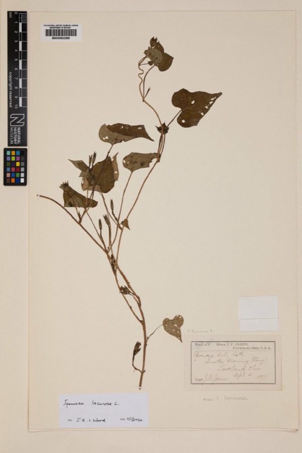
Specimen of Ipomoea lacunosa L.1877Ipomoea lacunosa L.PlantaeLovelandJoseph Francis JamesNHMUK BM000832299
A photograph of the species Polyporus hirsutus, not of this specimen1877Polyporus hirsutus (Wulfen) Fr.FungiLovelandJames D. L.BPI BPI 210824
A photograph of the species Rumex altissimus, not of this specimen1877Rumex altissimus WoodPlantaeLoveland.J. F. JamesNY 2407390
A photograph of the species Trifolium stoloniferum, not of this specimen1877Trifolium stoloniferum Muhl.PlantaeMiamivilleJ. F. JamesNY 37314

The townships, in 1891

20,217 words

Atlas of Clermont County, Ohio : from Actual Surveys devotes a chapter to each township: its boundaries and streams, who settled it and when, the mills, the schools and the churches. All 9 are reproduced here in full. Each row shows the township's own shape and where it lies in the county, drawn from the Census Bureau's boundary. Which settlements belong to which township is computed from that same boundary, not taken from the book.

Every populated place in the county

107

Named settlements recorded in the Geographic Names Information System, each with the topographic sheets covering it. Villages, hamlets and abandoned places alike. Each is shown with the watercourse or landform it stands on and the survey quadrangle it falls on. The 4 places that were also surveyed for fire insurance come first, with the number of atlases and photographs held for them.

Recorded here

Batavia, Ohio

19 topographic sheets and 7 fire insurance atlases, 1885 to 1941

New Richmond, Ohio

13 topographic sheets and 7 fire insurance atlases, 1887 to 1933

Bethel, Ohio

12 topographic sheets and 5 fire insurance atlases, 1904 to 1941

Williamsburg, Ohio

18 topographic sheets and 4 fire insurance atlases, 1900 to 1934

Everything this county holds

The complete index, with nothing left out. Each of these is a separate record with its own page: a federal survey report, or the case file that argued a property on to the National Register. Both are public domain and reproduced word for word.

Surveyed structures

4 structures

Nomination case files

15 case files

The vanished settlements of Clermont County, the places these records name that are no longer on the map.

Provenance

  • Topographic sheets. USGS Historical Topographic Map Collection, county index, measured from the bulk metadata.
  • Fire insurance maps. Library of Congress Sanborn collection, faceted to this county.
  • Photographs. Each place queried individually against the Library of Congress Prints and Photographs search.
  • Wildfire. Short, Karen C. 2022. Spatial wildfire occurrence data for the United States, 1992-2020 [FPA_FOD_20221014]. 6th Edition. Fort Collins, CO: Forest Service Research Data Archive. https://doi.org/10.2737/RDS-2013-0009.6 Collected with United States Government funding and usable without additional permissions or fees.
  • Specimens. Global Biodiversity Information Facility (GBIF), https://www.gbif.org/. Only records licensed CC0 or CC BY are used. Records licensed CC BY-NC are excluded because this site carries advertising. Images are checked individually and any whose licence is non-commercial, no-derivatives or unreadable is refused.
  • Mines and quarries. USGS Mineral Resources Data System (MRDS) https://mrdata.usgs.gov/mrds/ A work of the United States government, no copyright under 17 U.S.C. 105.
  • Storms. NOAA National Centers for Environmental Information, Storm Events Database https://www.ncei.noaa.gov/stormevents/ A work of the United States government, no copyright under 17 U.S.C. 105. Narratives are quoted verbatim from the National Weather Service report and are not edited or summarised.