 Block
Block
Blakeslee, Ohio
13 topographic sheets cover this place, the earliest surveyed in 1914 and the latest in 1990. It stands in Florence Township. It lies in ZIP code area 43505. It stands on Bear Creek. The Survey maps it on the Blakeslee quadrangle. 104 people lived here at the 2020 count. It stands 863 feet above sea level.
Population over time
2 figuresBlakeslee grew from 96 to 104 between 2010 and 2020. These are the recorded population figures Wikidata holds for this place, reached through the Geographic Names Information System number this page is keyed on rather than by name, so they belong to this place and not to another of the same name. Most are census counts, but not all are: an early figure may be a founding or settlement estimate. The change column is computed, and is left blank where more than 20 years separate a figure from the one before it, because a gap that long is not a change between two counts.
| Year | People | Change |
|---|---|---|
| 2010 | 96 | |
| 2020 | 104 | +8 (+8%) |
Then and now
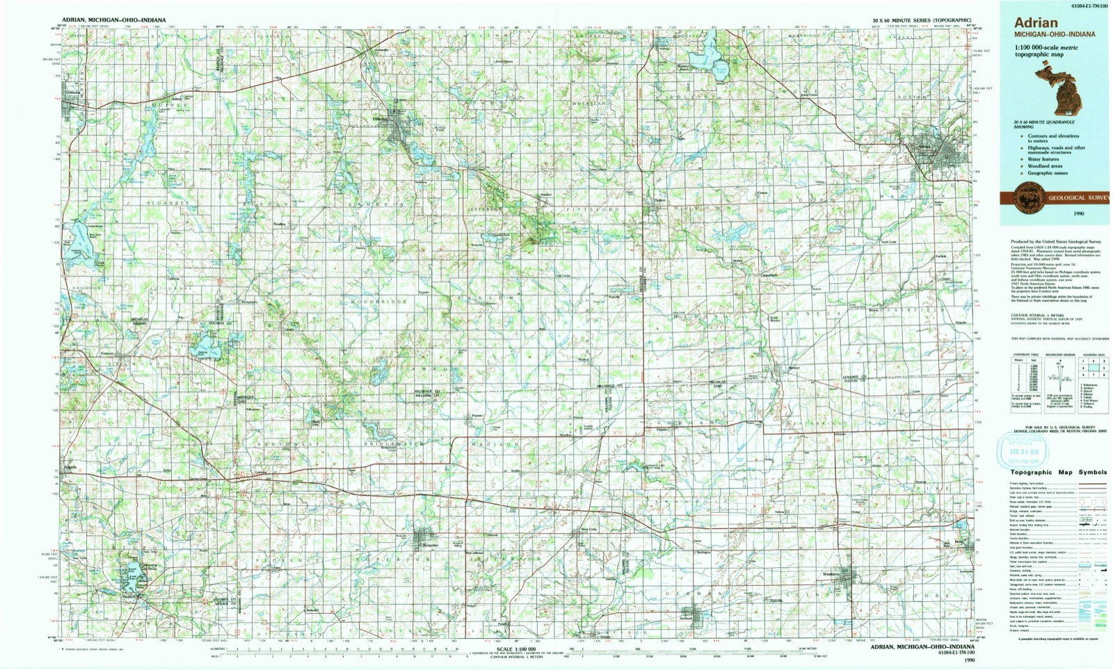
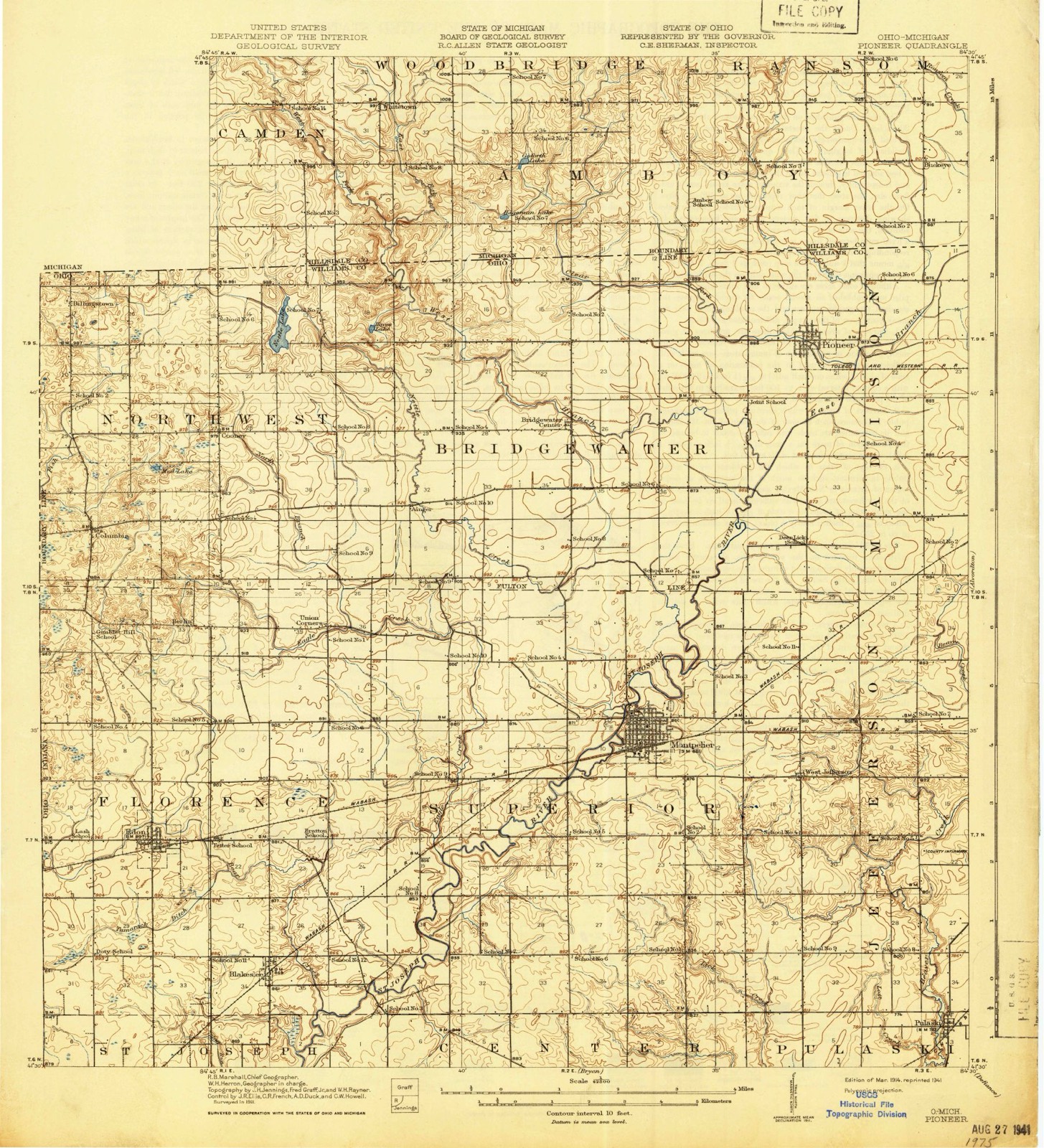
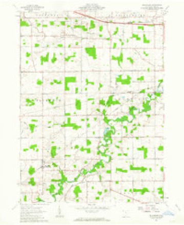
1914 to 1990The same ground, surveyed 76 years apart. Drag the handle to wipe between them. Both sheets are United States Geological Survey originals; neither has been altered.
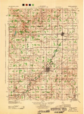
Topographic sheets covering this place
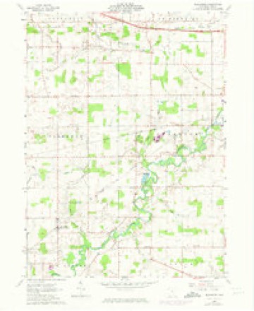
13 sheetsMatched by testing this settlement's coordinate against the published boundary of every sheet in the United States Geological Survey's historical collection. Each opens the scanned sheet at the Survey.
- 1914 USGS Pioneer quadrangle1:62500
- 1914 USGS Pioneer quadrangle1:62500
- 1944 USGS Pioneer quadrangle1:62500
- 1953 USGS Fort Wayne quadrangle1:250000
- 1953 USGS Fort Wayne quadrangle1:250000
- 1953 USGS Fort Wayne quadrangle1:250000
- 1953 USGS Fort Wayne quadrangle1:250000
- 1956 USGS Fort Wayne quadrangle1:250000
- 1956 USGS Fort Wayne quadrangle1:250000
- 1961 USGS Blakeslee quadrangle1:24000
- 1961 USGS Blakeslee quadrangle1:24000
- 1985 USGS Adrian quadrangle1:100000
- 1990 USGS Adrian quadrangle1:100000
In the county-history sources
4,993 words on this townshipThe County of Williams : a History of Williams County, Ohio, from the Earliest Days, with Special Chapters on Various Subjects, Including Each of the Different Townships ; Also a Biographical Department, published 1905 names this settlement in its chapter on Florence Township. These are the passages that mention it, exactly as the scans read.
The Thomas family were early settlers of the township, locating in the extreme northwestern part, where they enterd land, and where the parents, Moses Thomas and wife, spent the remainder of their lives. The children were David, who yet lives in Florence township; Joseph W.. deceased ; Rebecca J., who is the widow of Joseph W. Back, and lives in Montpelier; Benjamin, deceased; William, a < resident of Lucas county, Ohio; Deborah, the widow of Ira Bratton, and lives in Angola, Indiana; Albert 1\, of Montpelier; Richard, killed at the battle of Resaca ; Mary, the widow of Sylvester Graves, now residing in Oklahoma; Sarah Ann, the wife of John Maxwell, of Stockton, California, and James C., who lor years past has been a resident of Chicago. The family originally came from Bucks county, Pennsylvania, where seven of the eleven children were born. They first migrated to Crawford county. Ohio, and thence, in 1840, to Florence township, where, the year previous, Moses Thomas had entered the southeast quarter of Section 32. Many descendants of Mr. Thomas live in Williams and adjoining counties.
Passage source: The County of Williams : a History of Williams County, Ohio, from the Earliest Days, with Special Chapters on Various Subjects, Including Each of the Different Townships ; Also a Biographical Department, published 1905.
Machine-read from a century-old scan, so expect the errors a machine makes: misspelled names, dropped words, stray characters.
Read the whole chapter on Florence Township - it names this place 1 more 1 time.
Specimens collected near this place
12 of 271 shownRegional context, not property-specific evidence. Museums hold 271 specimens collected within 10 miles of Blakeslee between 1893 and 1971: 244 Animalia, 23 Fungi, 3 Plantae, 1 Unrecorded. 12 distinct Species records are shown. Collected by Adler, K. K., Anson A. Hinkley, Bauer, L. and others. Each is a physical object with a catalogue number, and each entry opens the museum's record. This is what was collected and kept, not a survey of what lives here - nothing can be concluded from a species being absent.
| Image | Species | Year | Collected by | Where, as recorded |
|---|---|---|---|---|
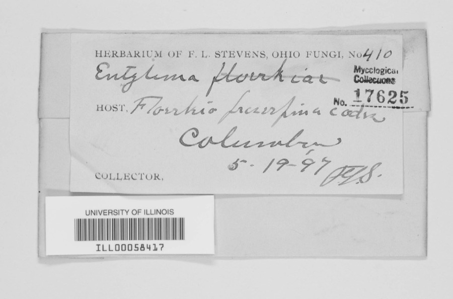 | unnamed | 1897 | F. L. Stevens | Columbia. |
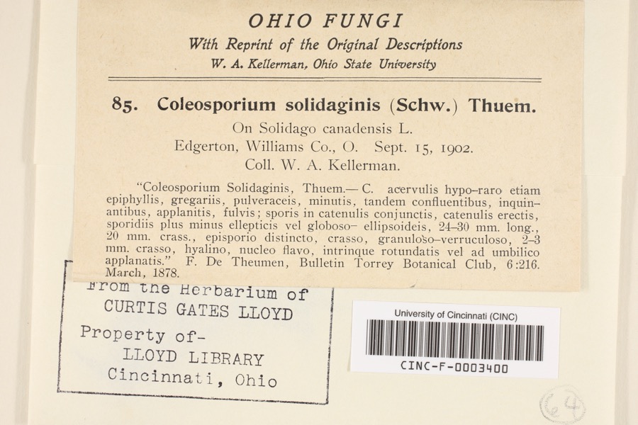 | Coleosporium asterum (Dietel) Syd. & P.Syd. | 1902 | Kellerman, W.A. | Edgerton |
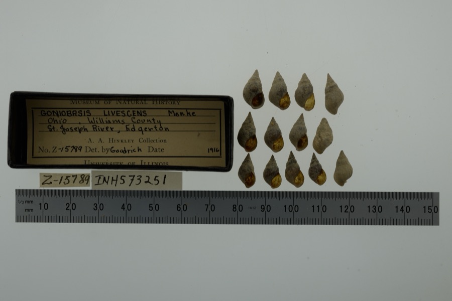 | Elimia livescens (Menke, 1830) | 1916 | Anson A. Hinkley | St. Joseph River, Edgerton, North America |
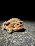 | Anaxyrus americanus (Holbrook, 1836) | 1893 | not recorded | Edgerton, Fish Lake |
 | Apalone spinifera (Lesueur, 1827) | 1893 | not recorded | Edgerton |
 | Ericymba buccata Cope, 1865 | 1893 | P. Kirsch | St. Joseph River, Edgerton, Ohio |
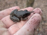 | Lithobates clamitans (Latreille, 1801) | 1893 | not recorded | Edgerton, Fish Lake |
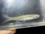 | Notropis atherinoides Rafinesque, 1818 | 1893 | P. Kirsch | St. Joseph River, Edgerton, Ohio |
 | Noturus miurus Jordan, 1877 | 1893 | P. Kirsch | St. Joseph River, Edgerton, Ohio |
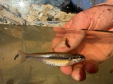 | Pimephales notatus (Rafinesque, 1820) | 1893 | P. Kirsch | St. Josephs River, Edgerton, Ohio |
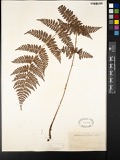 | Aspidium Sw. | 1895 | Collector(s): Edwin Lincoln Moseley | Florence |
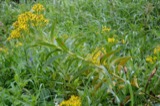 | Coleosporium solidaginis (Schwein.) Thüm. | 1902 | W. A. Kellerman | Edgerton |
All 271 specimens within 10 miles, at the Global Biodiversity Information Facility.
Mines and quarries near this place
2 within 5 milesRegional context, not property-specific evidence. The federal mineral resources record lists 2 workings within 5 miles of Blakeslee: 1 past producer, 1 producer. 1 still produces. What was taken out: Sand and Gravel, Construction. Distance is straight-line from the map coordinates, so a quarry counted here may appear on a neighbouring settlement's page as well.
| Where | Site | Commodity | Status | Recorded |
|---|---|---|---|---|
| Hoffman Sand and Gravel Pit | Sand and Gravel, Construction | Past Producer | ||
| Tri-State South Dredge | Sand and Gravel, Construction | Producer |
Nearest settlements
The eight closest, with where each one stands in the county. Distances are straight-line, computed from the Geographic Names Information System coordinates.
| Map | Place | Distance | Sheets |
|---|---|---|---|
| West Buffalo (historical) | 2.0 miles | 13 | |
| Denmark (historical) | 2.5 miles | 12 | |
| Valley Springs Addition | 2.5 miles | 12 | |
| Edon | 3.0 miles | 14 | |
| Edon Home Court | 3.3 miles | 14 | |
| Mina | 5.0 miles | 12 | |
| Edgerton | 5.3 miles | 12 | |
| Melbern | 5.8 miles | 12 |
Elsewhere
Matched on this settlement's Geographic Names Information System number rather than its name, so it cannot be a different place of the same name in another state.
| Wikipedia article on Blakeslee | An encyclopaedic summary. Its text is share-alike, so it is linked here rather than copied. |
| Wikidata item Q2574423 | The structured record the population and elevation above come from. Public domain (CC0). |
Provenance
This settlement is recorded in the Geographic Names Information System as feature 1064447. The sheet list is computed by point-in-boundary test against the United States Geological Survey's historical topographic inventory. Both are works of the United States government and carry no copyright under 17 U.S.C. 105.
Specimens. Global Biodiversity Information Facility (GBIF), https://www.gbif.org/. Only records licensed CC0 or CC BY are used. Records licensed CC BY-NC are excluded because this site carries advertising. Images are checked individually and any whose licence is non-commercial, no-derivatives or unreadable is refused.
Mines and quarries. USGS Mineral Resources Data System (MRDS) https://mrdata.usgs.gov/mrds/ A work of the United States government, no copyright under 17 U.S.C. 105.