 Block
Block
Bloomingville, Ohio
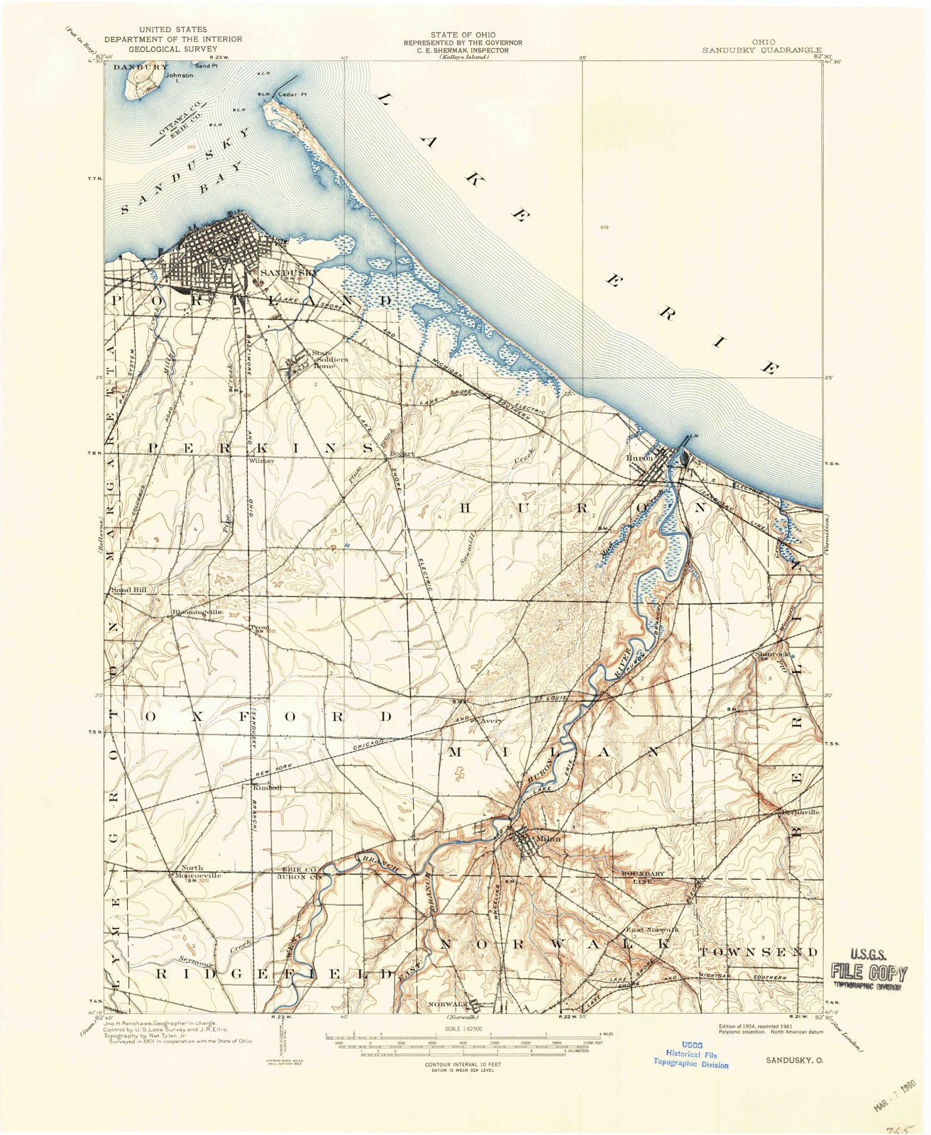
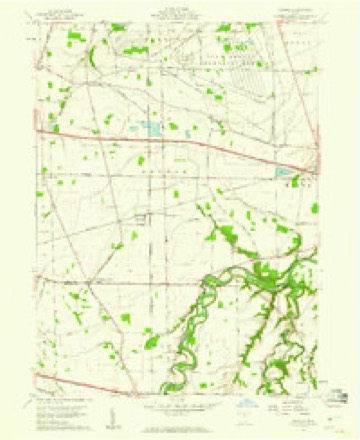
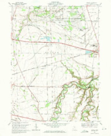
12 topographic sheets cover this place, the earliest surveyed in 1904 and the latest in 1986. It stands in Oxford Township. It lies in ZIP code area 44870. The Survey maps it on the Kimball quadrangle.
Then and now
1904 to 1986The same ground, surveyed 82 years apart. Drag the handle to wipe between them. Both sheets are United States Geological Survey originals; neither has been altered.

Topographic sheets covering this place
12 sheetsMatched by testing this settlement's coordinate against the published boundary of every sheet in the United States Geological Survey's historical collection. Each opens the scanned sheet at the Survey.
- 1904 USGS Sandusky quadrangle1:62500
- 1904 USGS Sandusky quadrangle1:62500
- 1904 USGS Sandusky quadrangle1:62500
- 1956 USGS Toledo quadrangle1:250000
- 1956 USGS Toledo quadrangle1:250000
- 1956 USGS Toledo quadrangle1:250000
- 1956 USGS Toledo quadrangle1:250000
- 1959 USGS Kimball quadrangle1:24000
- 1961 USGS Toledo quadrangle1:250000
- 1969 USGS Kimball quadrangle1:24000
- 1986 USGS Lorain quadrangle1:100000
- 1986 USGS Lorain quadrangle1:100000







In the county-history sources
3,113 words on this townshipA Standard History of Erie County, Ohio, published 1916 names this settlement in its chapter on Oxford Township. These are the passages that mention it, exactly as the scans read.
The township was first colonized in the month of February, 1810, by six families from Conneaut, Erie County, Pennsylvania. These early settlers were: Jonathan Sprague, an old man who had served in the army of the Revolution as lieutenant. He built a cabin on the east bank of Pipe Creek, a quarter of a mile from Bloomingville. His son's family and three families of Dunhams settled between him and the present Bloomingville, and Linas Ensign settled a mile southwest of Bloomingville, on the farm afterward occupied by John Paxton. In the month of July of the same year Thomas James and James Forsyth moved into the township. During that fall three others, Nathan, Standish and Wood, came, and were followed the next year by Thomas Hamilton, Doctor Hastings, John Dillingham, and Samuel McGill.
Passage source: A Standard History of Erie County, Ohio, published 1916.
The survey of the township was made by Jabez Wright and Almon Ruggles, assisted by Benjamin Drake as chain bearer, in 1810, and during that year many people moved in; but the following year the entire township was affected by the panic that followed Hull's surrender, and many of the pioneers fled to older settlements for safety. The greater part of those who fled went to Mansfield, conveying their household goods and families on horseback and in wagons. Those who remained behind proceeded at once to build a blockhouse in Bloomingville, and later a second one was built near it-and both enclosed by a stockade. After this, until the close of the war there were few additions to the settlement in Oxford. The Register of July 2, 1879, contains reminiscences by W. D. Gurley stating his arrival on September, 1811, at a small log cabin where Bloomingville now stands. It was then an almost unbroken forest. The next Sunday he heard his father preach the first sermon on the firelands in the little log schoolhouse, and saw him form a little class of eight or ten members. Early in the spring his father built the house a half mile east of Bloomingville and resided there till Hull surrendered to the English in 1812. He then left and did not return till 1818 when he settled in Perkins.
Passage source: A Standard History of Erie County, Ohio, published 1916.
Early troubles came to the settlers in many forms, and perhaps none was more distressing than the milk sickness that affected the cattle. It came simultaneously with the attempt to have a bank, and the cause of it was a mystery. There are still places in our country where this is common, and the United States Government offered a generous reward of many thousand dollars to whoever should discover the secret cause of its prevalence. In Oxford Township they believed it was the result of the animals drinking from springs of mineral water, but this was disproved by the fact that a flock of sheep belonging to Thomas James, of Bloomingville, were pastured in a field where there was no stream and yet a number of the flock were affected by it. Its effects on animals was known as ''trembles,'' and it was quite customary to see a fat calf, after sucking, walk a short distance, then begin to tremble, and in a little while fall down and die. The superstitious believed in witchcraft. Many people died from this poison, and their remains are buried at the forks of the roads a short distance east of Bloomingville, with no monument to tell the story of their lives in the new country to which they had come full of hope. We understand that the milk sickness is now believed to be caused by the cattle eating a certain weed.
Passage source: A Standard History of Erie County, Ohio, published 1916.
Machine-read from a century-old scan, so expect the errors a machine makes: misspelled names, dropped words, stray characters.
Read the whole chapter on Oxford Township - it names this place 5 more 5 times.
Fires near this place
3 since 2002Regional context, not property-specific evidence. The federal wildfire occurrence database lists 3 fires within 5 miles of Bloomingville between 2002 and 2002, burning about 1 acres in total. None started naturally. None was recorded as arson. Distance is straight-line from the map coordinates, so a fire counted here may appear on a neighbouring settlement's page as well.
| Reported cause | Fires |
|---|---|
| Missing data/not specified/undetermined | 2 |
| Debris and open burning | 1 |
The most recent of them, most recent first, with the day each was reported and the service that recorded it.
| Date | Cause | Size | Reported by | Name on the report |
|---|---|---|---|---|
| 6 August 2002 | Missing data/not specified/undetermined | under an acre | Ohio State Fire Marshal's Office | not named |
| 10 August 2002 | Debris and open burning | 1.0 acres | Ohio State Fire Marshal's Office | not named |
| 24 June 2002 | Missing data/not specified/undetermined | under an acre | Ohio State Fire Marshal's Office | not named |
Settlements close enough to share some of these fires:
Specimens collected near this place
12 of 2,516 shownRegional context, not property-specific evidence. Museums hold 2,516 specimens collected within 10 miles of Bloomingville between 1860 and 1975: 1,366 Animalia, 898 Plantae, 219 Fungi, 26 Chromista, 6 Protozoa, 1 Unrecorded. 12 distinct Species records are shown. Collected by A. Dowdy, A. F. Satterthwait, A. Lewis and others. Each is a physical object with a catalogue number, and each entry opens the museum's record. This is what was collected and kept, not a survey of what lives here - nothing can be concluded from a species being absent.
| Image | Species | Year | Collected by | Where, as recorded |
|---|---|---|---|---|
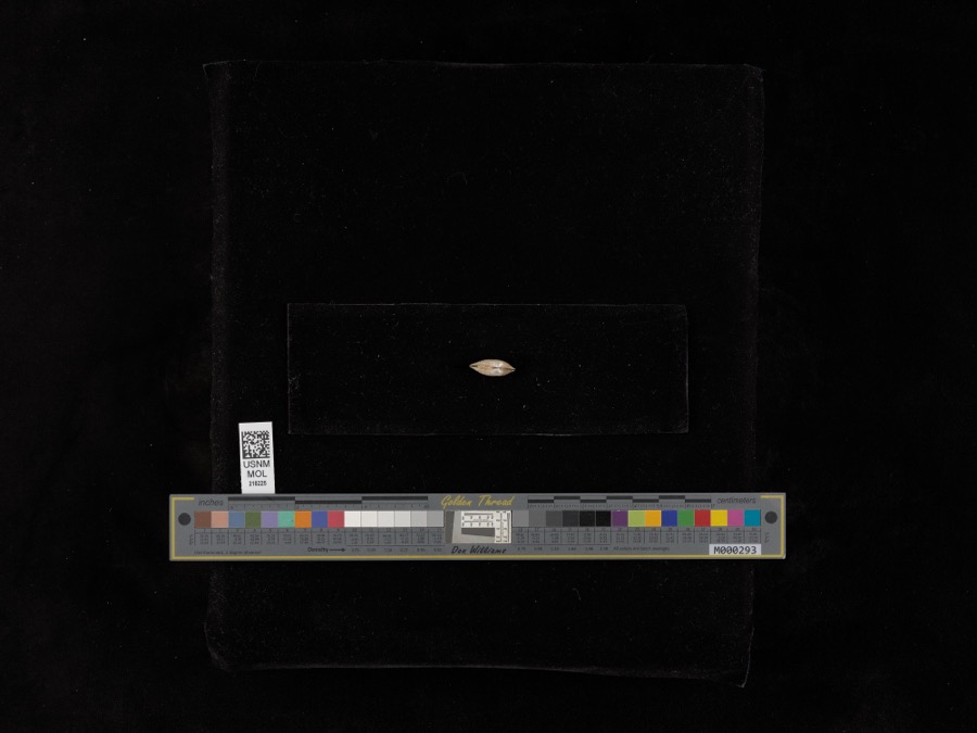 | Lampsilis radiata radiata (Gmelin, 1791) | 1898 | United States Fish Commission | Sandusky Bay |
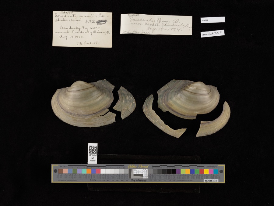 | Pyganodon grandis (Say, 1829) | 1898 | United States Fish Commission & W. Kendall | Sandusky Bay near mouth of Sandusky River |
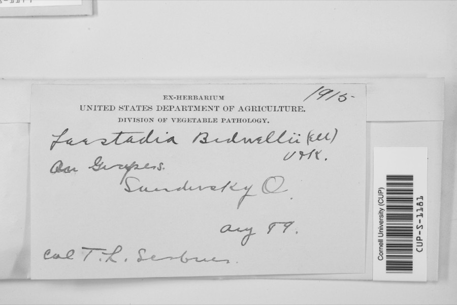 | Laestadia bidwellii (Ellis) Viala & Ravaz | 1899 | F.L. Scribner | |
 | Perca Linnaeus, 1758 | 1860 | Smithsonian Institution | Sandusky |
 | Vermivora chrysoptera (Linnaeus, 1766) | 1868 | No Person (Birds) | Taylor |
 | Macropetalichthys rhapheidolabis Norwood & Owen, 1846 (fossil) | 1881 | D. S. Young | |
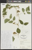 | Apios tuberosa Moench | 1885 | Wilkinson, E. | Cedar Point |
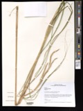 | Spartina pectinata Bosc ex Link | 1885 | Wilkinson, E. | Cedar Point |
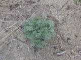 | Artemisia caudata Michx. | 1886 | Wilkinson, E. | Cedar Point |
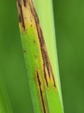 | Graminopassalora graminis (Fuckel) U.Braun, C.Nakash., Videira & Crous | 1886 | William Trelease; A. Commons | Madison |
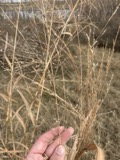 | Panicum virgatum L. | 1886 | Wilkinson, E. | Cedar Point |
 | Perca fluviatilis Linnaeus, 1758 | 1886 | Smithsonian Institution |
All 2,516 specimens within 10 miles, at the Global Biodiversity Information Facility.
Mines and quarries near this place
5 within 5 milesRegional context, not property-specific evidence. The federal mineral resources record lists 5 workings within 5 miles of Bloomingville: 3 past producers, 2 producers. 2 still produce. What was taken out: Limestone, General, Stone, Crushed/Broken, Sand and Gravel, Construction. Distance is straight-line from the map coordinates, so a quarry counted here may appear on a neighbouring settlement's page as well.
| Where | Site | Commodity | Status | Recorded |
|---|---|---|---|---|
| Febus Gravel Pit | Sand and Gravel, Construction | Past Producer | ||
| Sandusky Crushed Stone Quarry | Limestone, General | Past Producer | Sedimentary | |
| Sandusky Quarry | Stone, Crushed/Broken | Producer | ||
| Soldiers Home Quarry | Stone, Crushed/Broken | Producer | ||
| Wagner Quarry | Limestone, General | Past Producer | Sedimentary |
Nearest settlements
The eight closest, with where each one stands in the county. Distances are straight-line, computed from the Geographic Names Information System coordinates.
| Map | Place | Distance | Sheets |
|---|---|---|---|
| Prout (historical) | 1.5 miles | 12 | |
| Sand Hill | 1.6 miles | 18 | |
| Weyers | 2.5 miles | 18 | |
| Parkertown | 3.3 miles | 18 | |
| Wilmer | 3.3 miles | 16 | |
| Kimball | 3.4 miles | 12 | |
| Southgate Acres | 4.1 miles | 16 | |
| Columbus Park | 4.2 miles | 16 |
Provenance
This settlement is recorded in the Geographic Names Information System as feature 1064456. The sheet list is computed by point-in-boundary test against the United States Geological Survey's historical topographic inventory. Both are works of the United States government and carry no copyright under 17 U.S.C. 105.
Wildfire. Short, Karen C. 2022. Spatial wildfire occurrence data for the United States, 1992-2020 [FPA_FOD_20221014]. 6th Edition. Fort Collins, CO: Forest Service Research Data Archive. https://doi.org/10.2737/RDS-2013-0009.6 Collected with United States Government funding and usable without additional permissions or fees.
Specimens. Global Biodiversity Information Facility (GBIF), https://www.gbif.org/. Only records licensed CC0 or CC BY are used. Records licensed CC BY-NC are excluded because this site carries advertising. Images are checked individually and any whose licence is non-commercial, no-derivatives or unreadable is refused.
Mines and quarries. USGS Mineral Resources Data System (MRDS) https://mrdata.usgs.gov/mrds/ A work of the United States government, no copyright under 17 U.S.C. 105.